From the Air.50
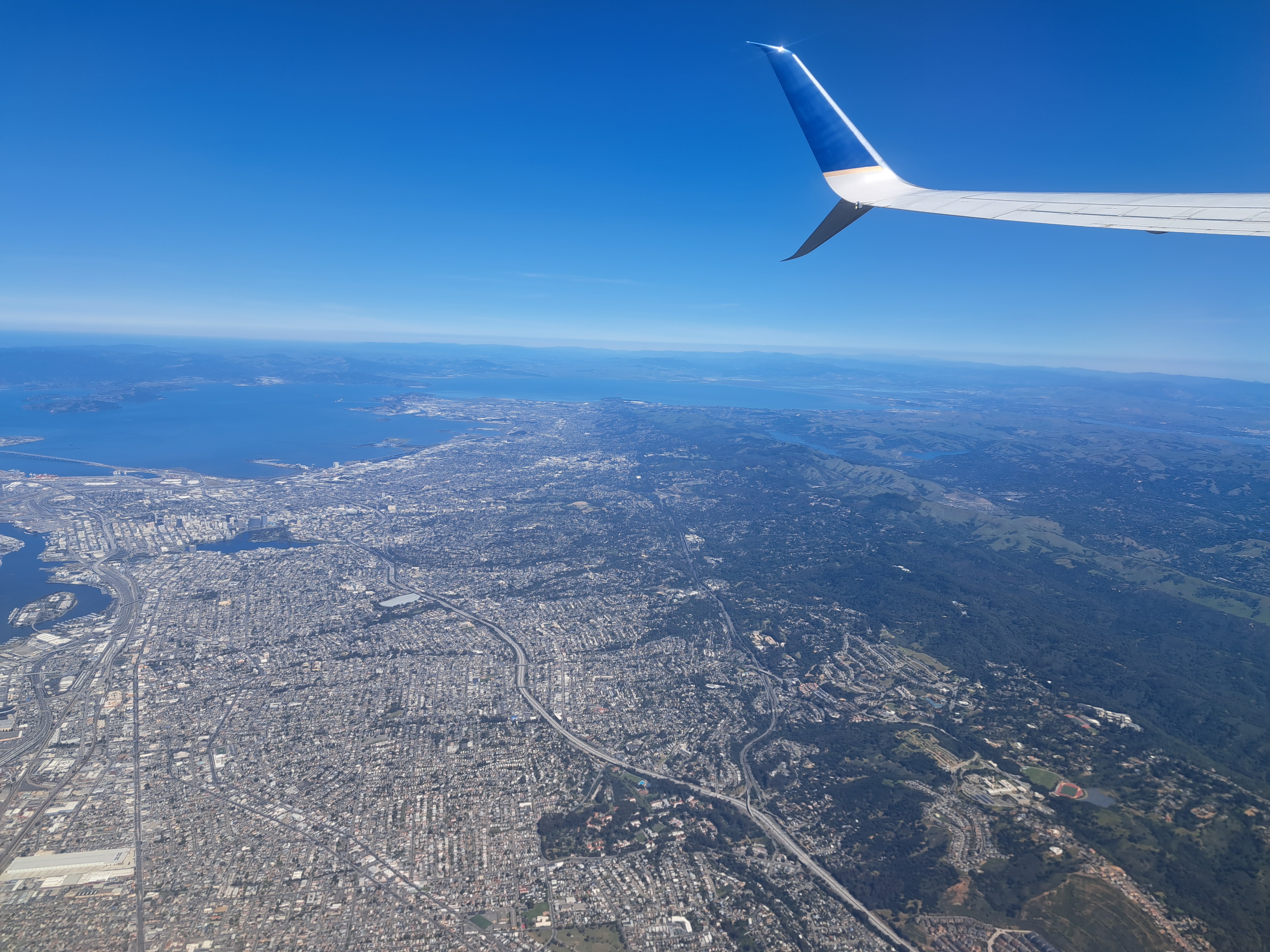
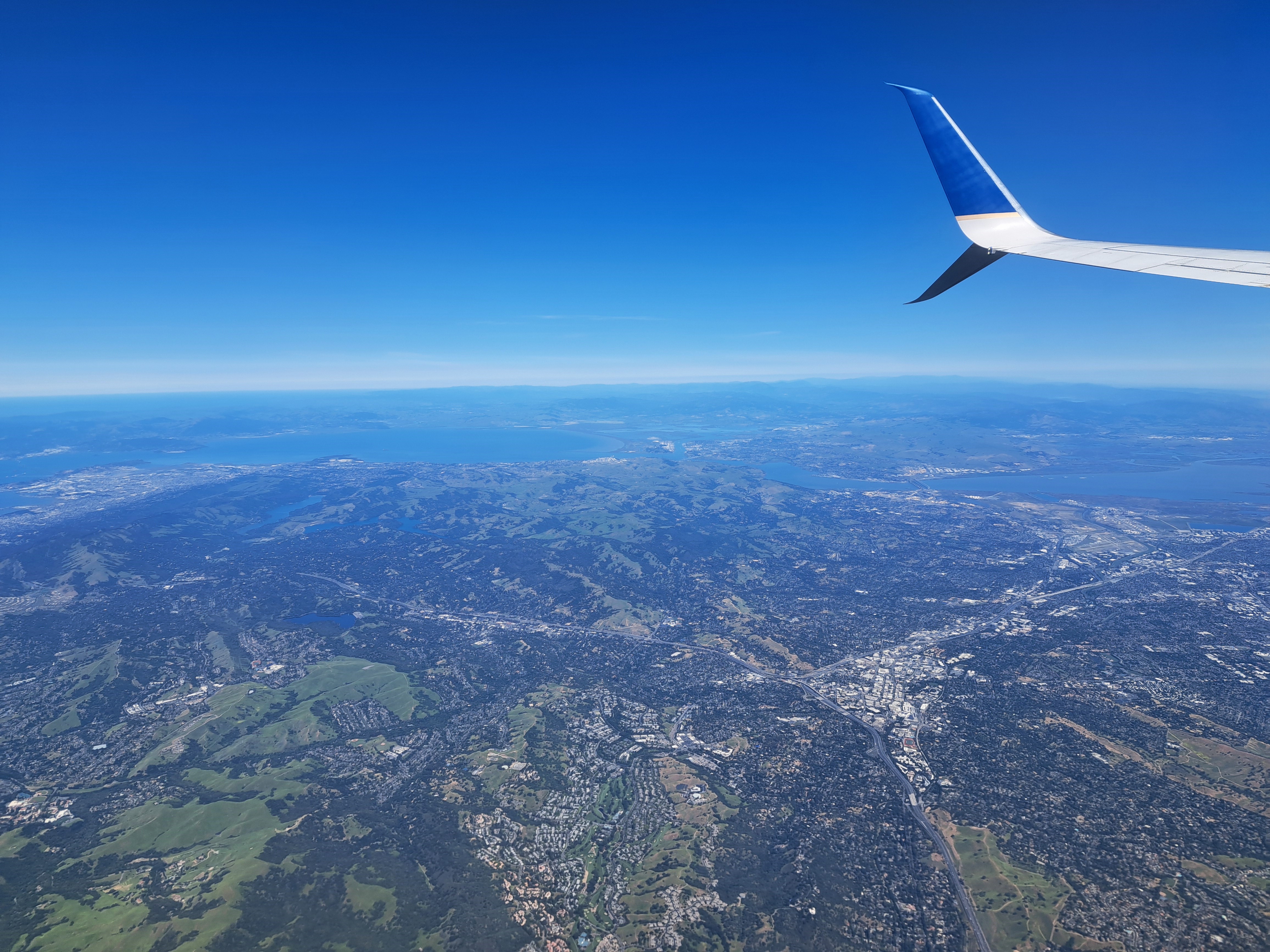
 If look closely at the above photo, you’ll see a bay coming in from the Pacific at the top right, carving inland to the top-center. That’s Monterey Bay. I’m posting all the remaining photos from our mid-April approach to SFO, following the flight from Amsterdam which, as we’ve shown you in prior posts, cut over the norther half of Greenland before plunging south along the Pacific Coast. This photo was taken in the midst of our complex circling in order to line up for (north-facing) approach to SFO. If you’re interested in better understanding the geography, just open a map and see how the “peninsula” sits between the (more enclosed) SF bay and the open, further south Monterey Bay. Here we’re beginning a clockwise circle from our southbound course, so I’m looking south and we’re still turning west and north. The shots below follow the rest of that trajectory in order, although the first shot was taken a minute or so before the one above. Enjoy 🙂




Village Views.79
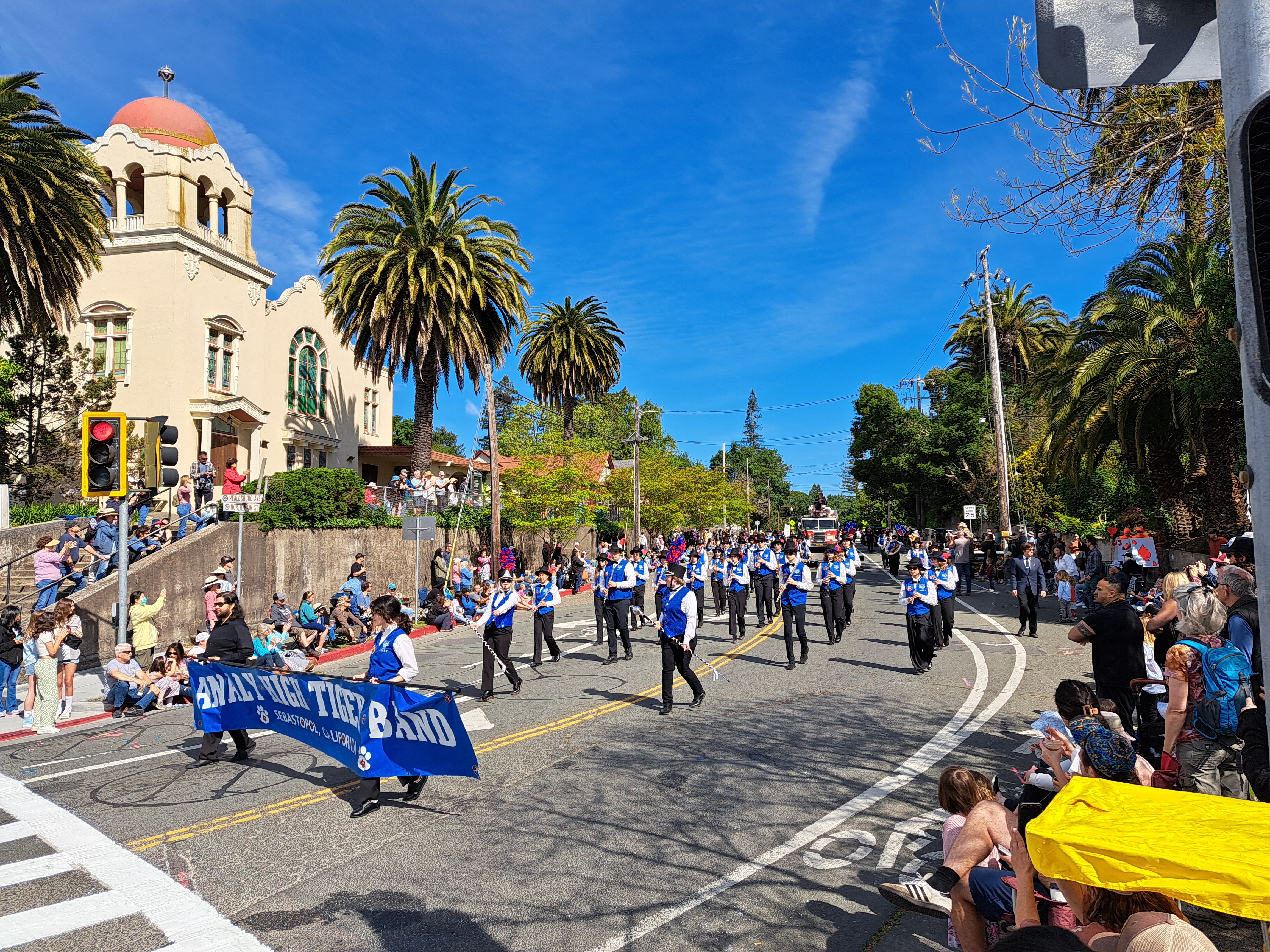
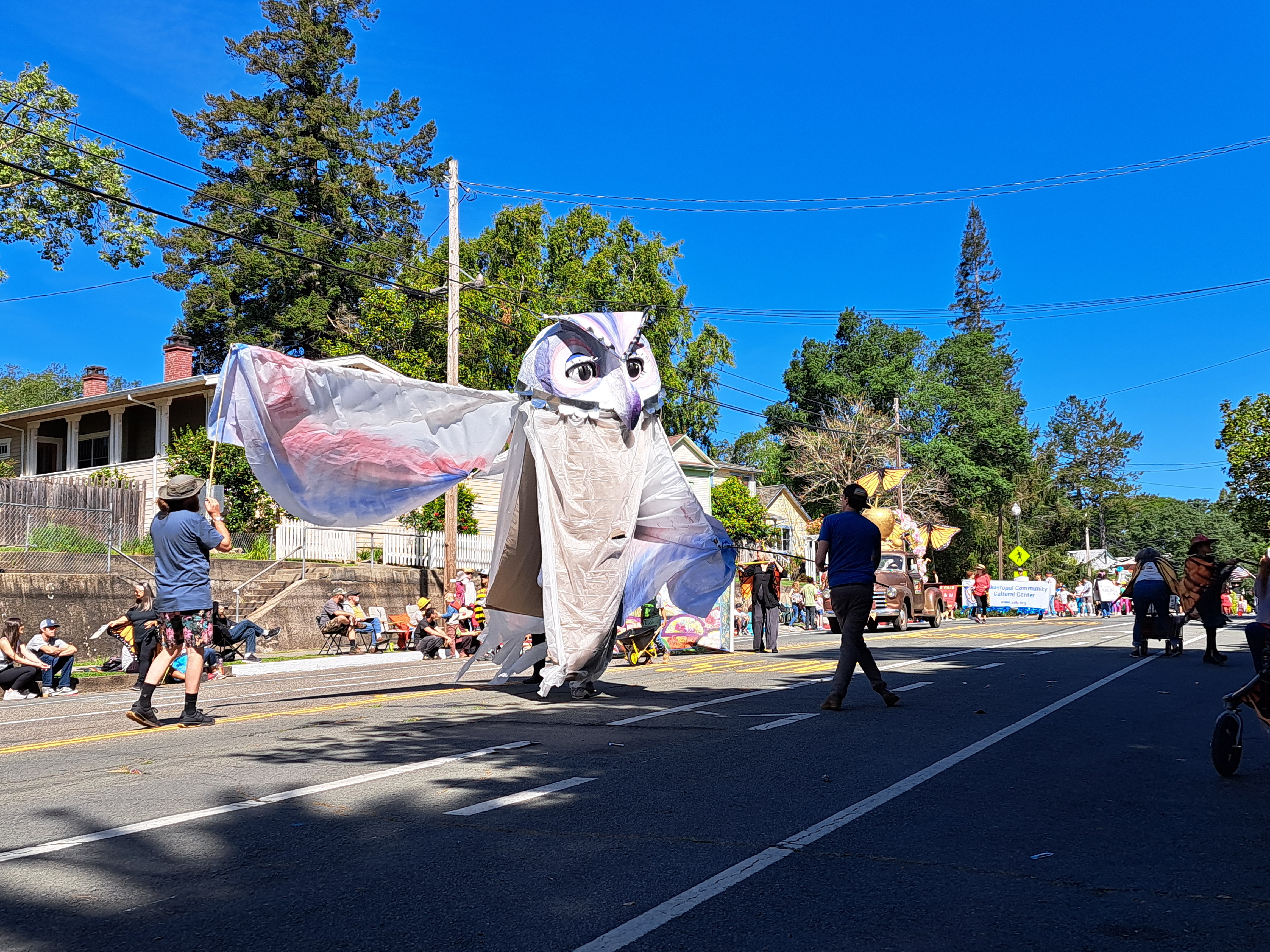
Sebastopol’s annual Apple Blossom Parade, during my visit in late April. Ah, the joys of small town parades 🙂


Islands.58


From the Air.48
Mountains.38
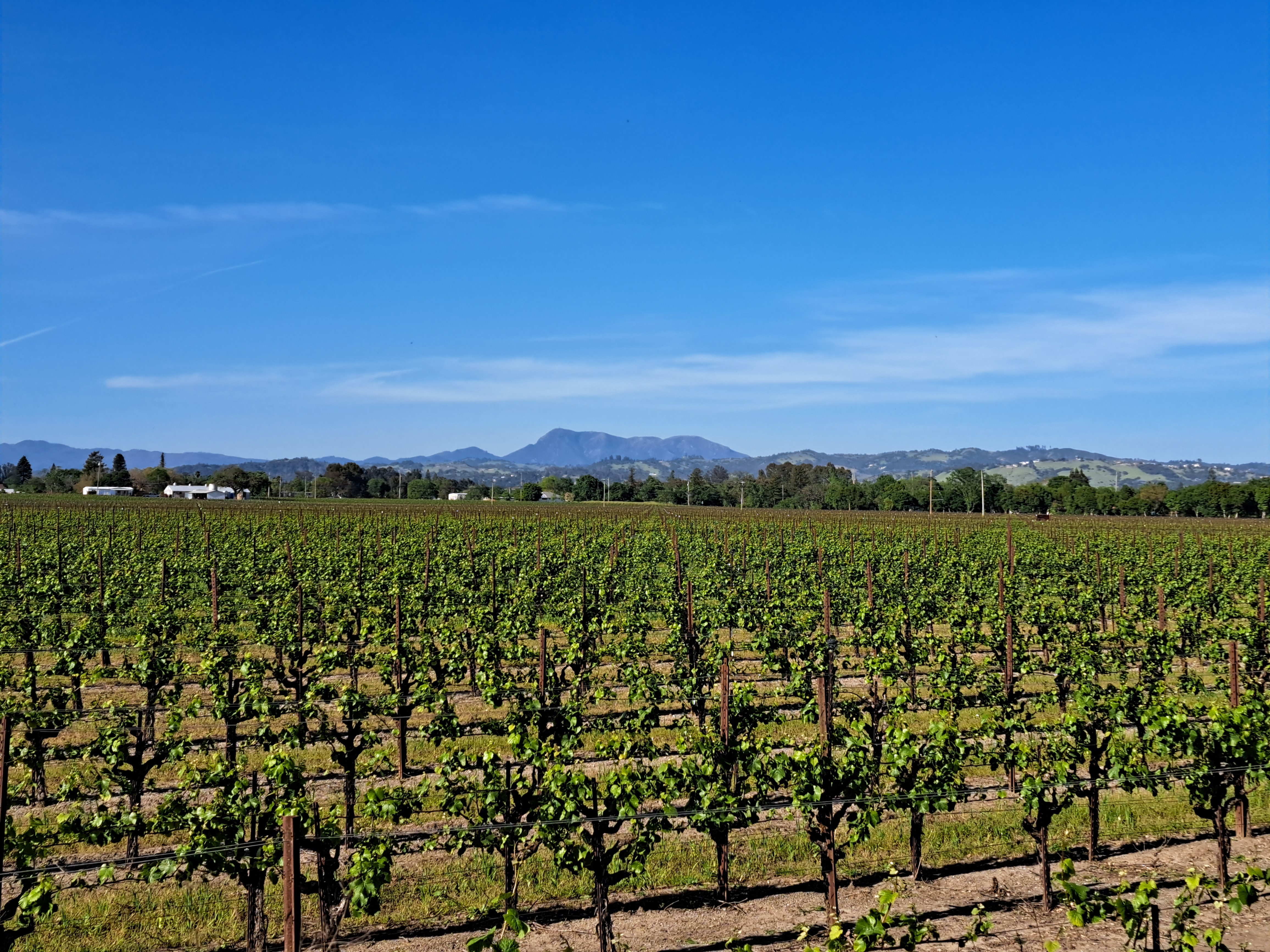
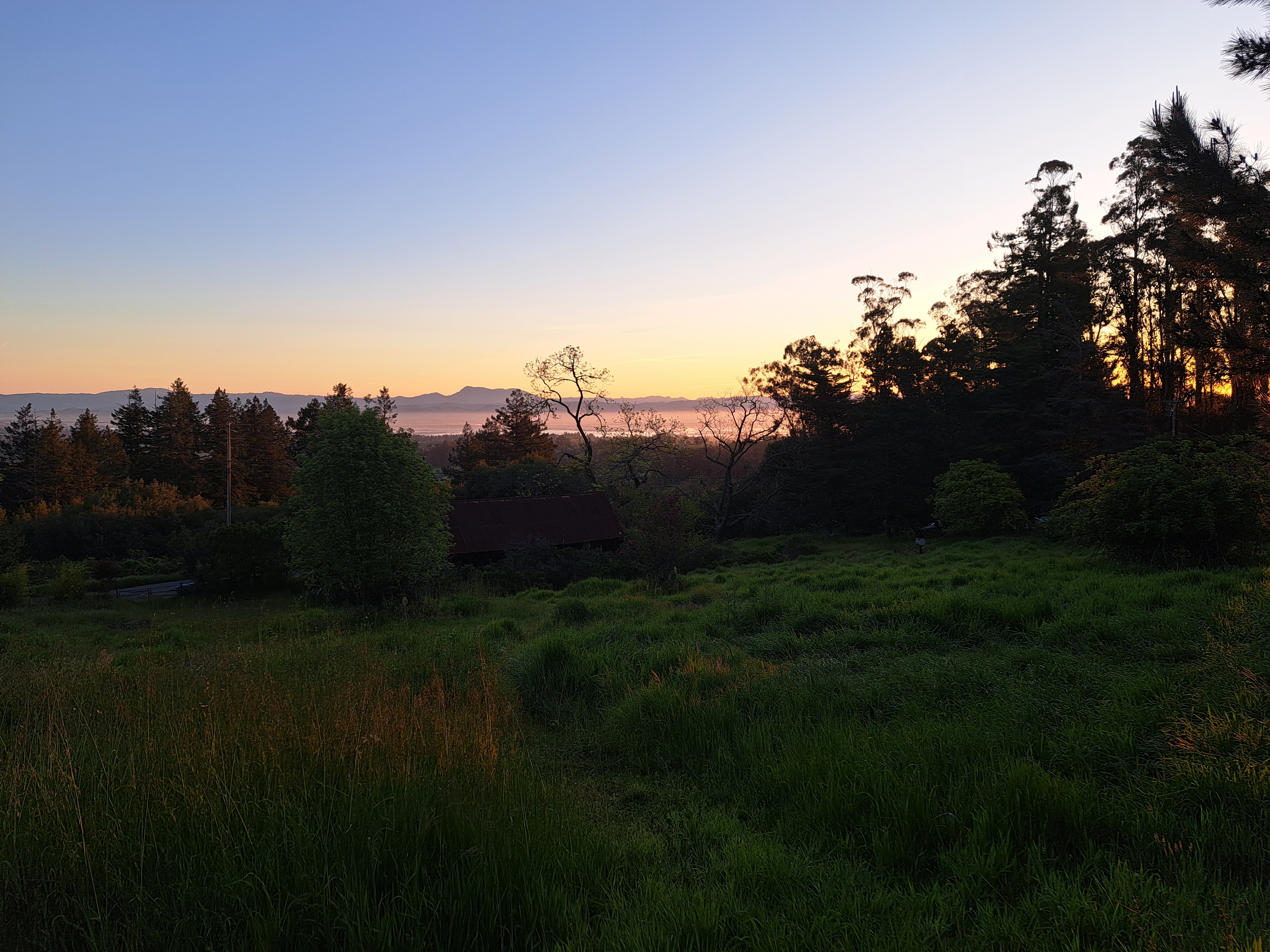 In this case, really one mountain – Mt St Helena. This mountain of volcanic origin has several peaks, the highest of which reaches 4,342 ft (1,323 m) in Sonoma County – other peaks are in Napa and Lake Counties. It’s also the highest peak in the bay area, which includes all the counties bordering SF Bay. You’ve seen it often before when I was still based in Santa Rosa, but I devoted more time to contemplating it on this last trip and am sharing my favorite photos of it in various moods and lights here. It’s easily recognizable and always fun to contemplate at all times of day, from many perspectives.




County Views.138

The remaining photos from my lovely drive along Rte 1 through Marin County, mostly along Tomales Bay in this case though I think the one above was along Bolinas Lagoon…


From The Air.47


