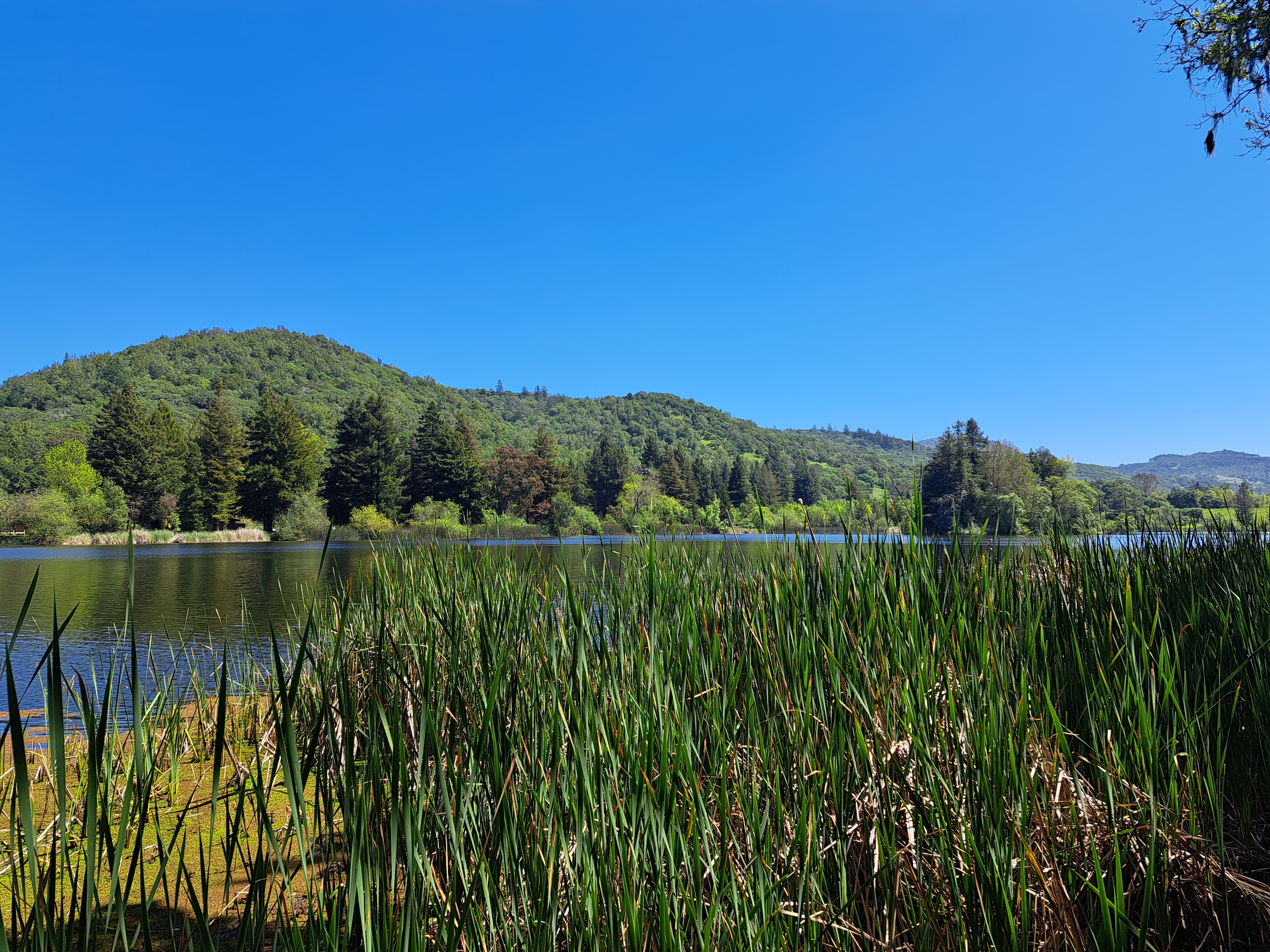
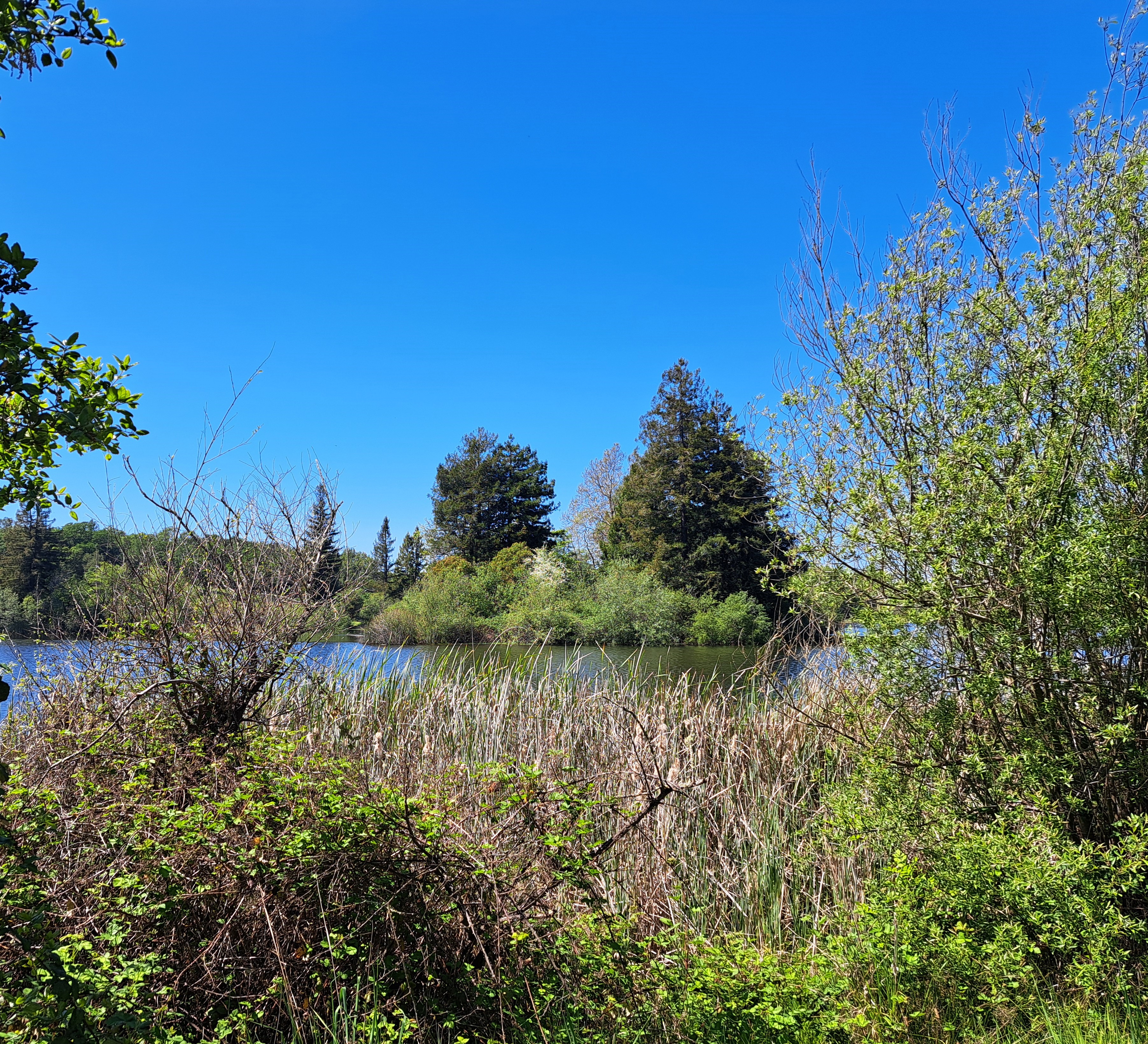
So yes, there’s actually an island in this photo, which you can see more clearly and easily from the other side of the lake, in the photo below :-). (Above, look for the taller pines that seem to grow from closer to or in the lake – yep, that’s the island.) The joy of my various series are that they help me see things in new ways – this is Spring Lake right near the apartment I lived in when I was in Santa Rosa, and despite many bike rides and afternoons reading on benches along its shores, I’m not sure I ever noticed the little island before!
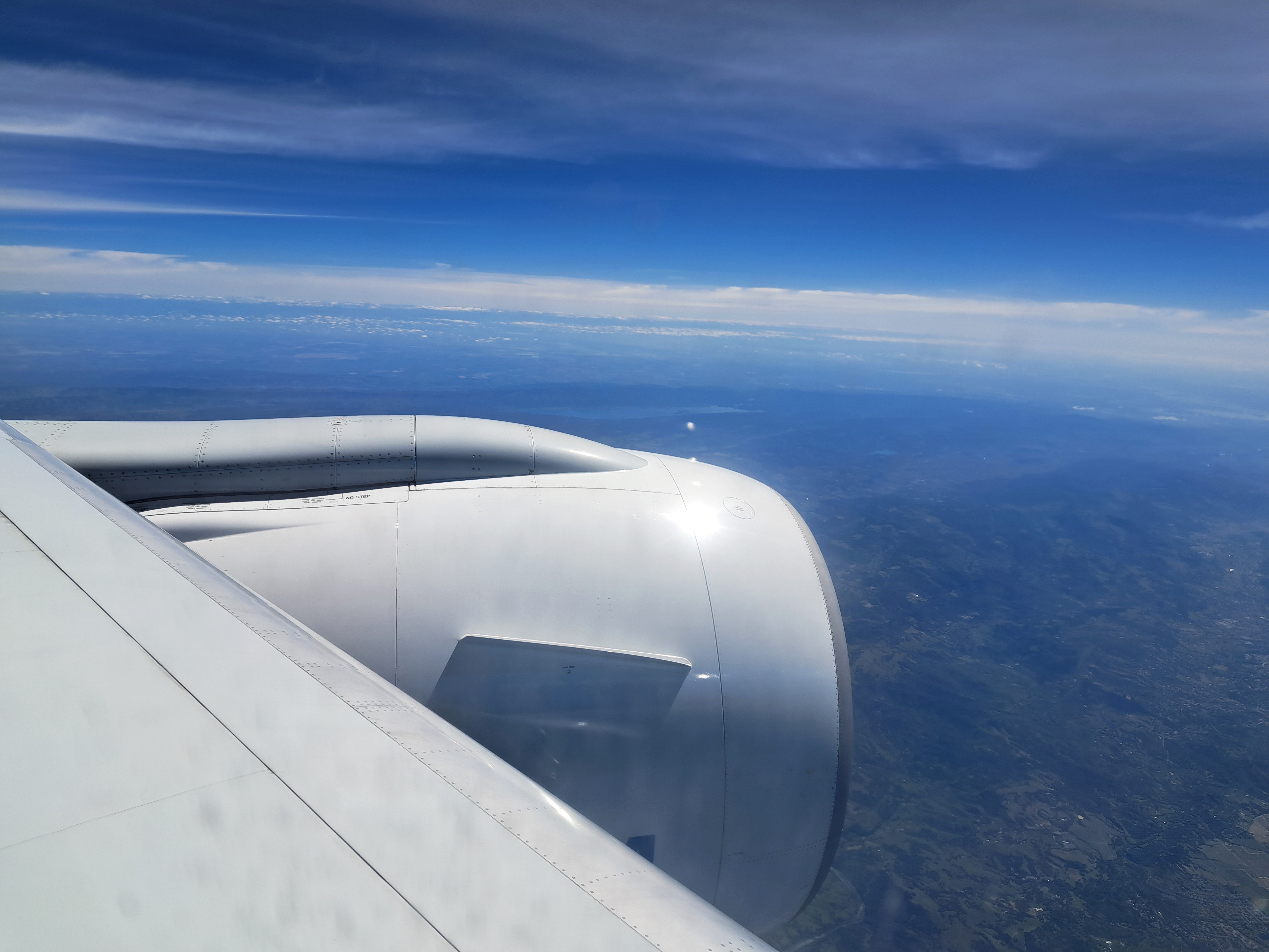
Bottom right corner here in Mt Tamalpais and Marin County; right middle you can see the Golden Gate Bridge and SF. I’m reasonably confident that in addition to the clouds, you can also see a few lines of snow-capped Sierra Nevada mountain ranges in the middle below the couds. I’m even more confident that there are snow-capped Sierras in the distance of the photo below, which also shows Clear Lake to the north and west of my old Sonoma County home, once the skies below our plane had cleared enough for me to take photos as we approached SF nearly two weeks ago.
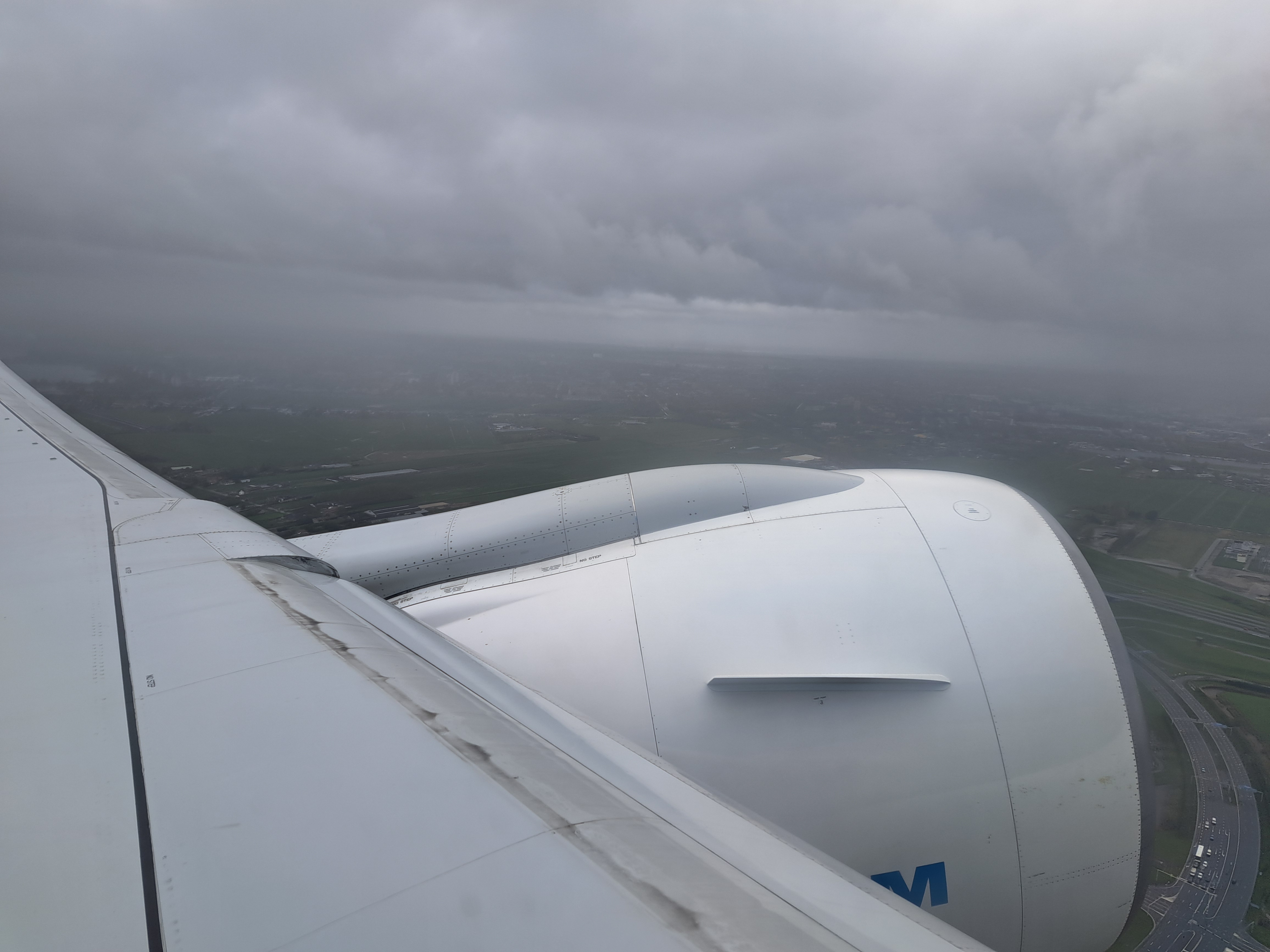
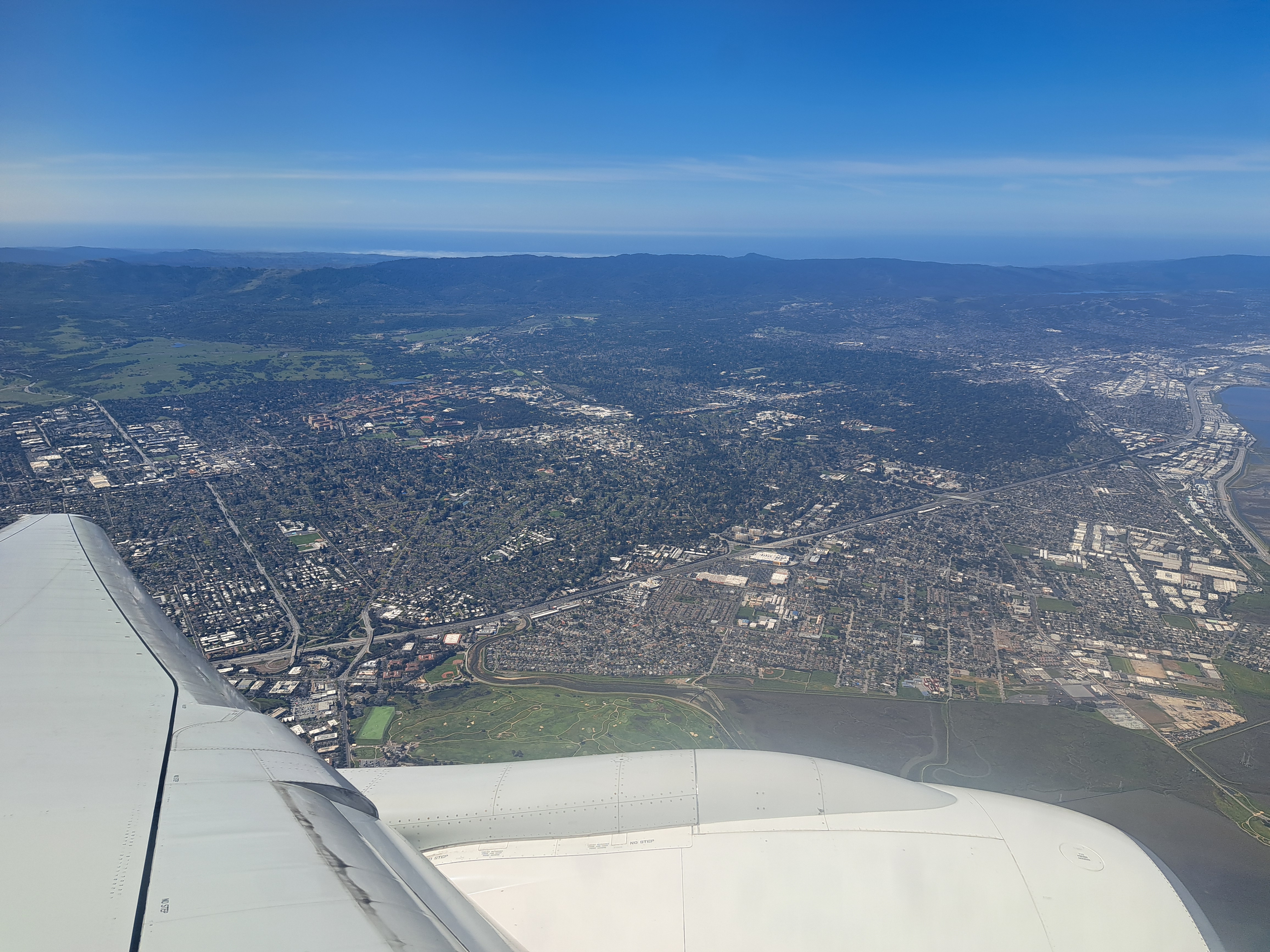
No, it’s not pretty – but it’s the last view I had of my Amsterdam home before the plane entered the heavy cloud layer. Below: the last photo I took before we landed about 10-1/2 hours later at SFO. Bit of a contrast, eh?
Last photos from the airplane when I left SF after my last US visit in early April, all three in order in which they were taken as our plane flew north along the central valley not long after take-off from SFO. I’m reasonably confident that’s Lake Beryessa in the first photo, and then more of the Snow Mountain Wilderness area.
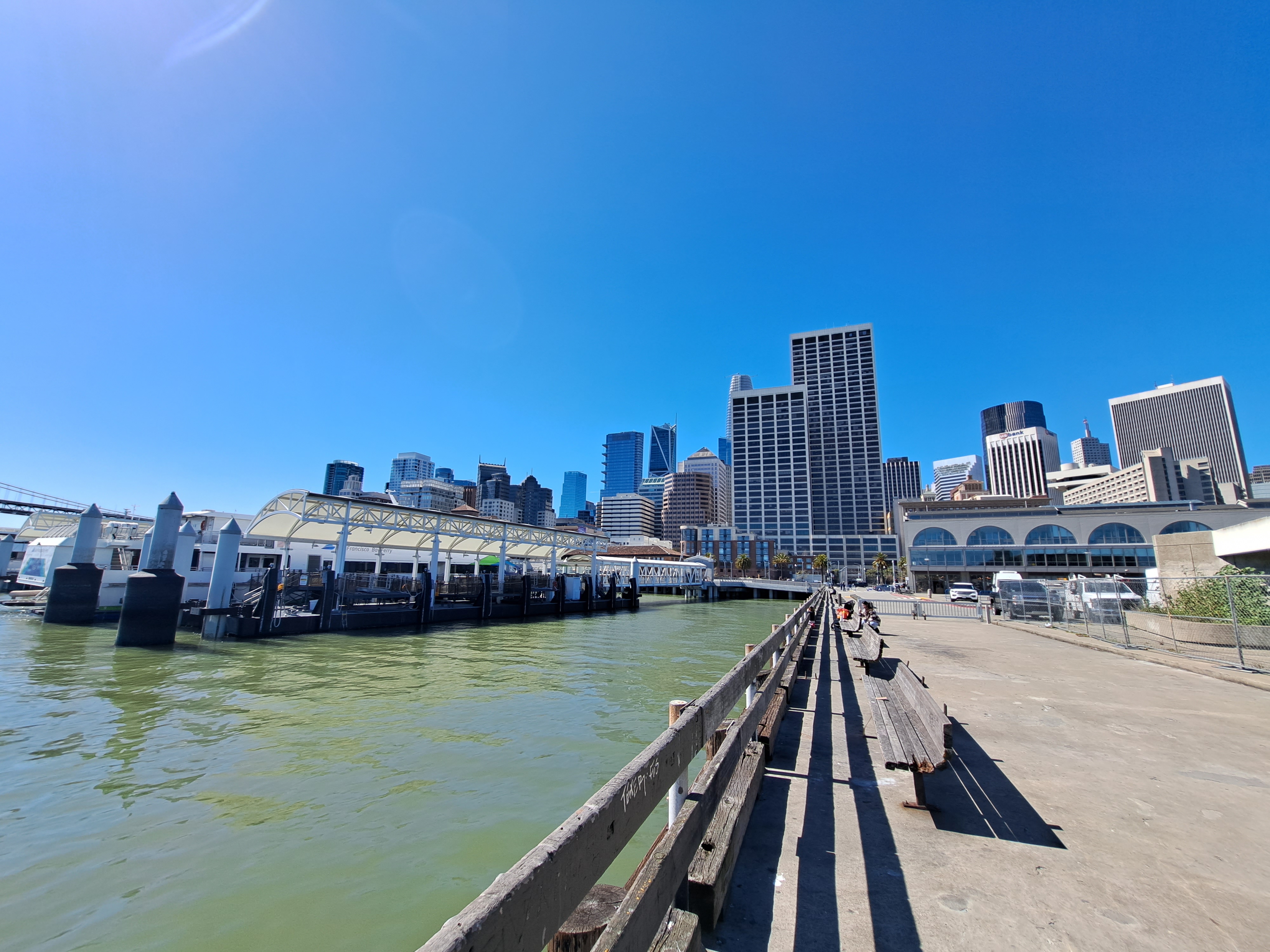
Yes, the wharves by SF’s ferry building can count as “coast” on my own blog if I decide they do. And yes, this means I’ve an urgent need to get to some “real” coastline again asap, or we may run dry on images for this series even sooner than the previously-noted country canals. Second to last post from that March – April US swing, already two months ago, goodness me but time flies when you’re chasing postable images. 🙂
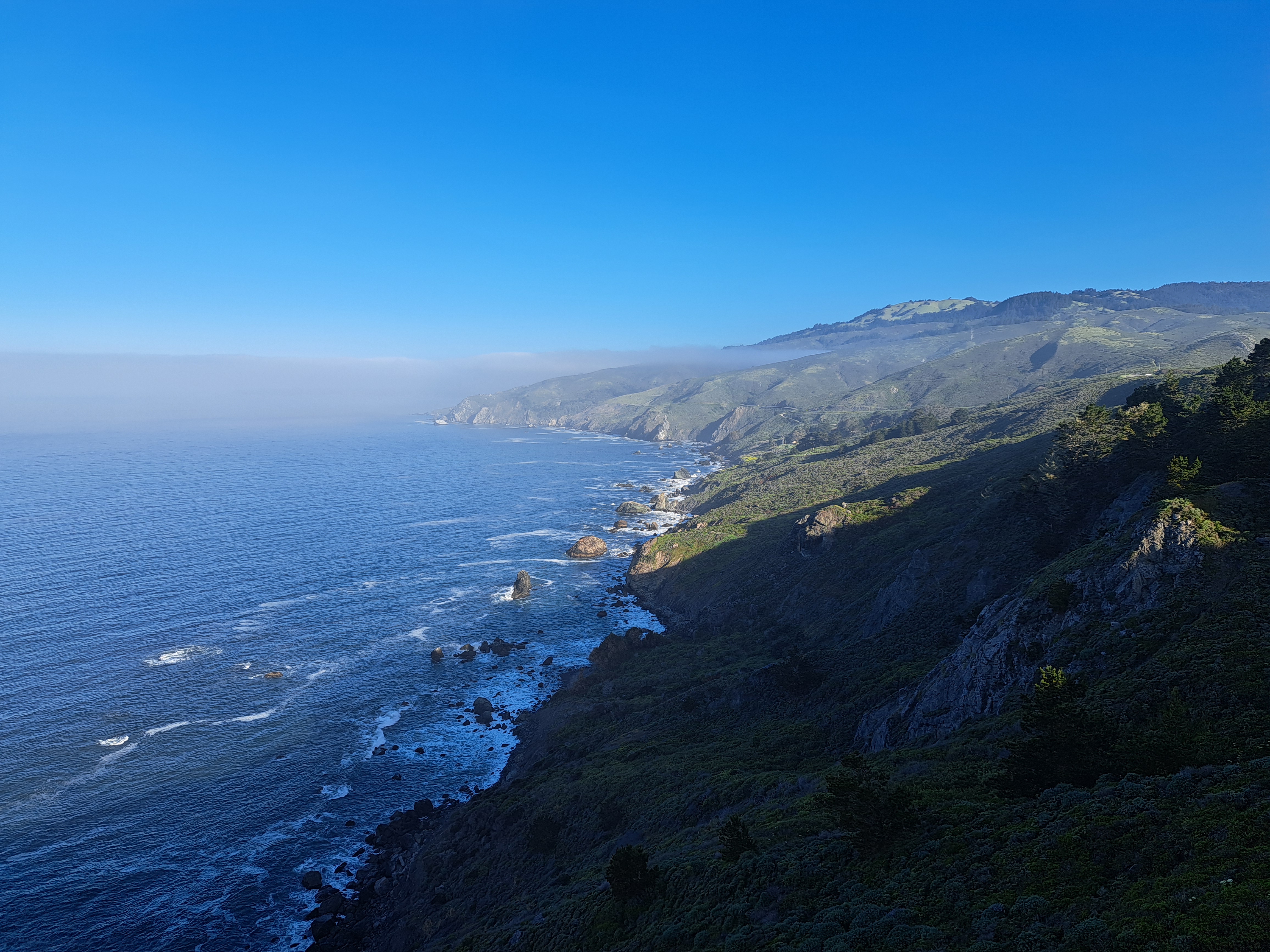
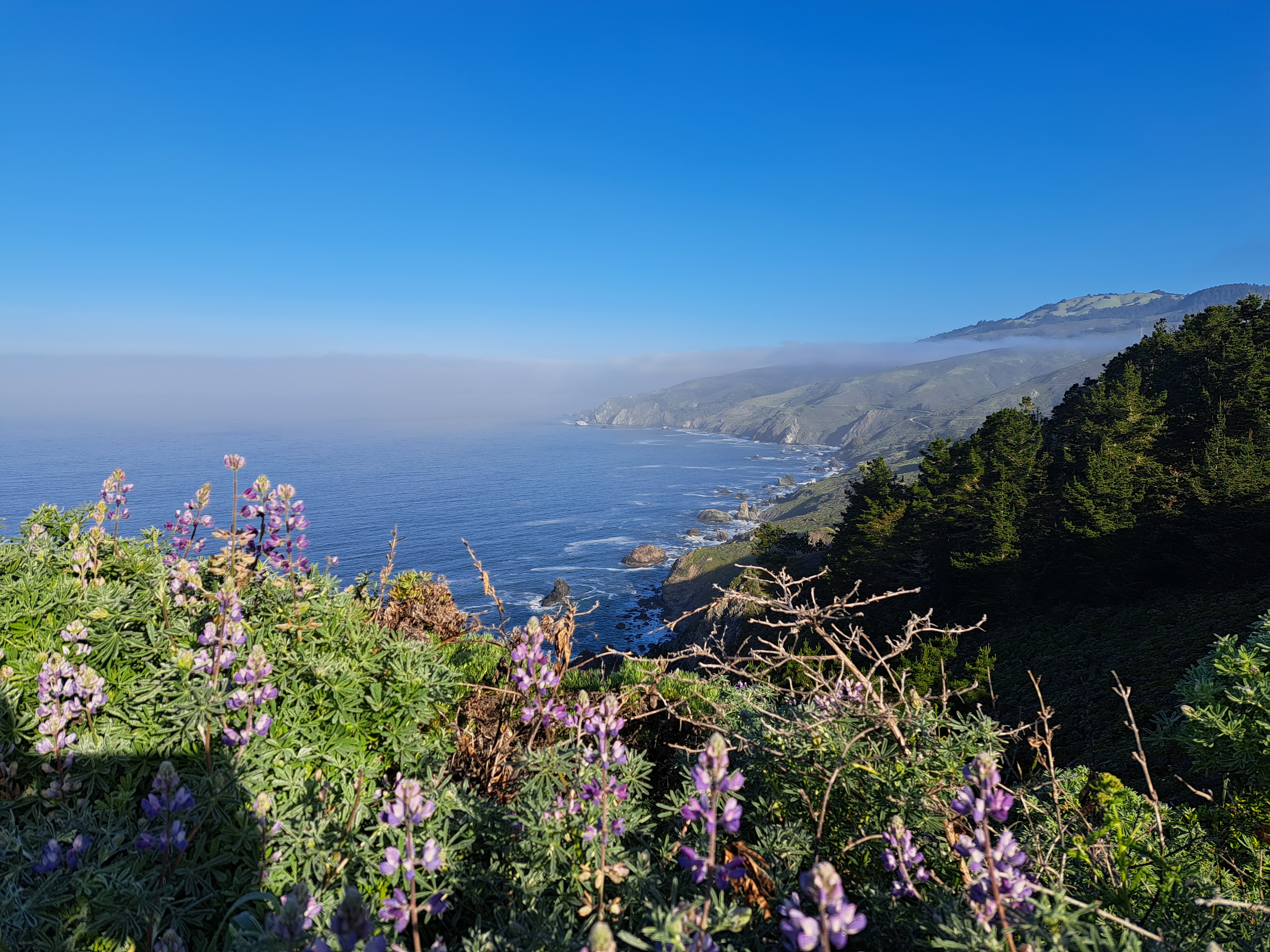
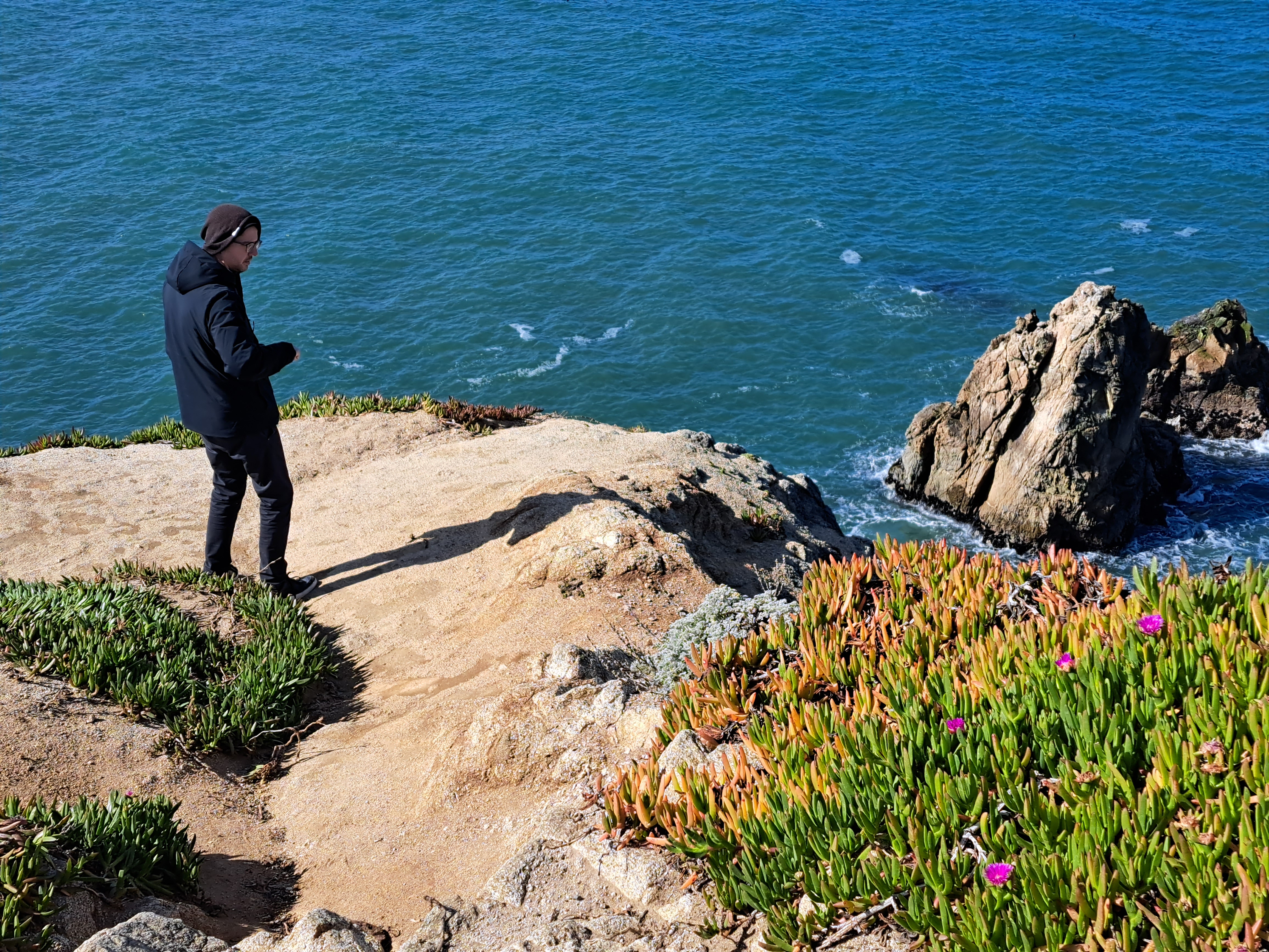
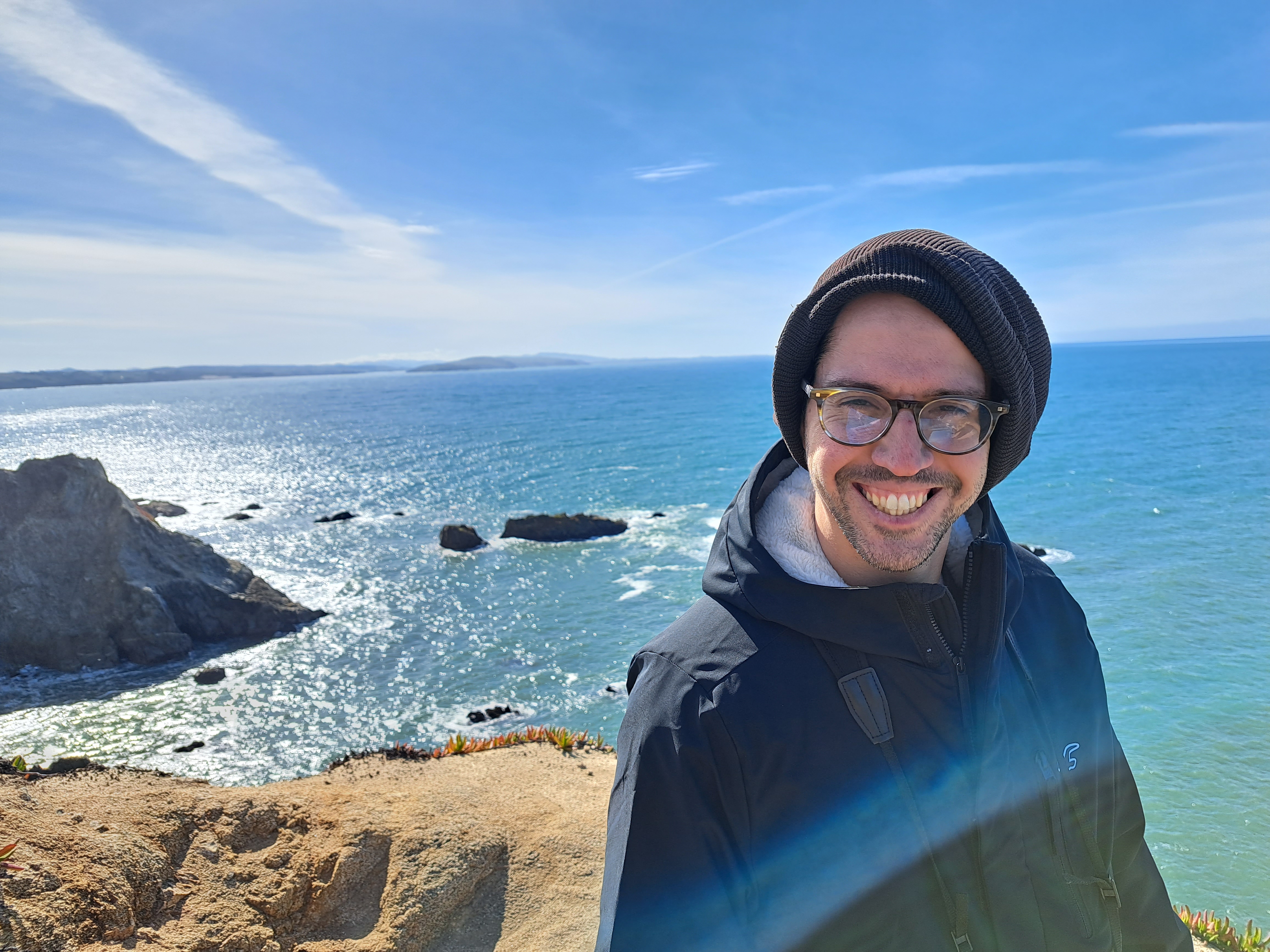
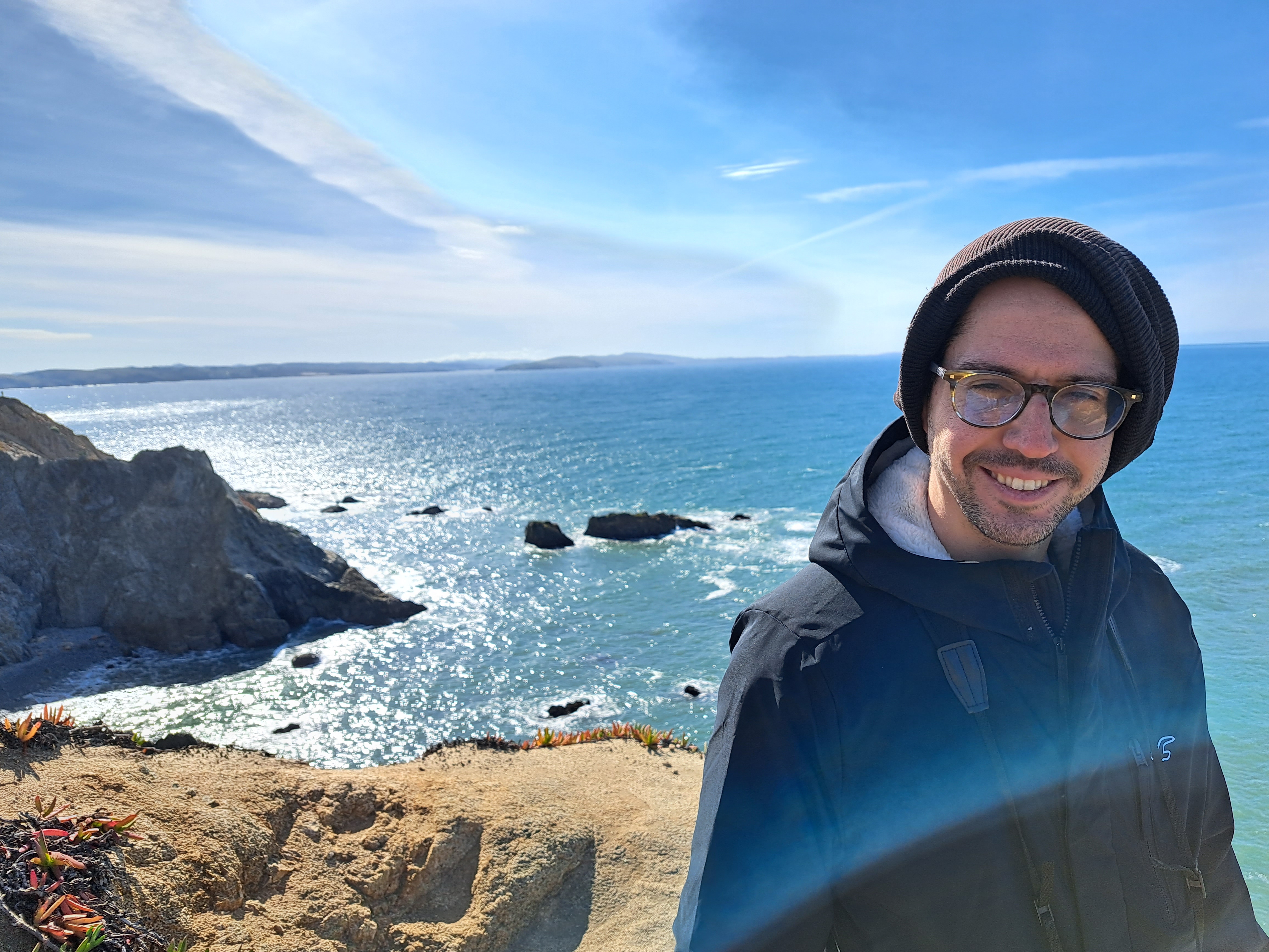
Last Pacific coastal shots for a while…though I might have something left from Hong Kong that I could drag out if I had to, but not a very high-quality shot, for sure :-). Bodega head, looking south toward Point Reyes peninsula in the shots below.