Latest

Coasting.39

All from Praia Formosa (beautiful beach), a volanic-rock and black-sand beach on the edge of Funchal. Not an easy swim like the beach at Seixal, on the other side of the island, but certainly dramatic and lovely.

Village Views.29

More photos of Serra de Agua and other little villages perched along the hills and cliffs of that huge valley that cuts across the middle of the island.

City Lights.9

Above and below, a group of photos from a pre-dawn & sunrise walk my first morning on Madeira last Monday. The boat shown taking to sea above is the ferry to Porto Santo, the second inhabited island that’s part of the Madeiran archipelago. The combination of few full-sun days and limited ferry departures meant I didn’t make it over on this visit, but would certainly hope to if I visit again :-).

Islands.9


In this post, all the remaining photos from end-of-day walk at Ponta de São Lourenço, of which I shared one photo in our last “Islands” post. Given the rainy comparative cold I’m experiencing now in Porto, and and the colder temperatures I expect once I return to A’dam, it’s nice to have these bright sunny memories :-). Madeira has abundant hiking trails — one of which you see here, going all the way out to the end of the true end of the island, for which we didn’t have time on this short evening. I may choose to explore this and other trails, if I visit again. 

Urban Canals.119

The second week of my lovely vacation commenced with an early flight to Porto, where Iberia’s biggest river reaches the sea. I landed to a city that was both rainier and colder than Funchal (or Madeira in general), so I guess this is a good way to slowly acclimate myself back to Amsterdam, where temperatures seem to have hovered around freezing the whole time I’ve been enjoying the warmer, longer hours of daylight here in the south. This photo was taken yesterday; the prior post’s photo was taken before I left Amsterdam. Sorry if it’s confusing, but we jump around a bit here at smw, slt

City Views.158

Sunrise walks can be quite lovely in Funchal 🙂

Small Wonders.158

Image

Urban Entrances.58

Village Views.28

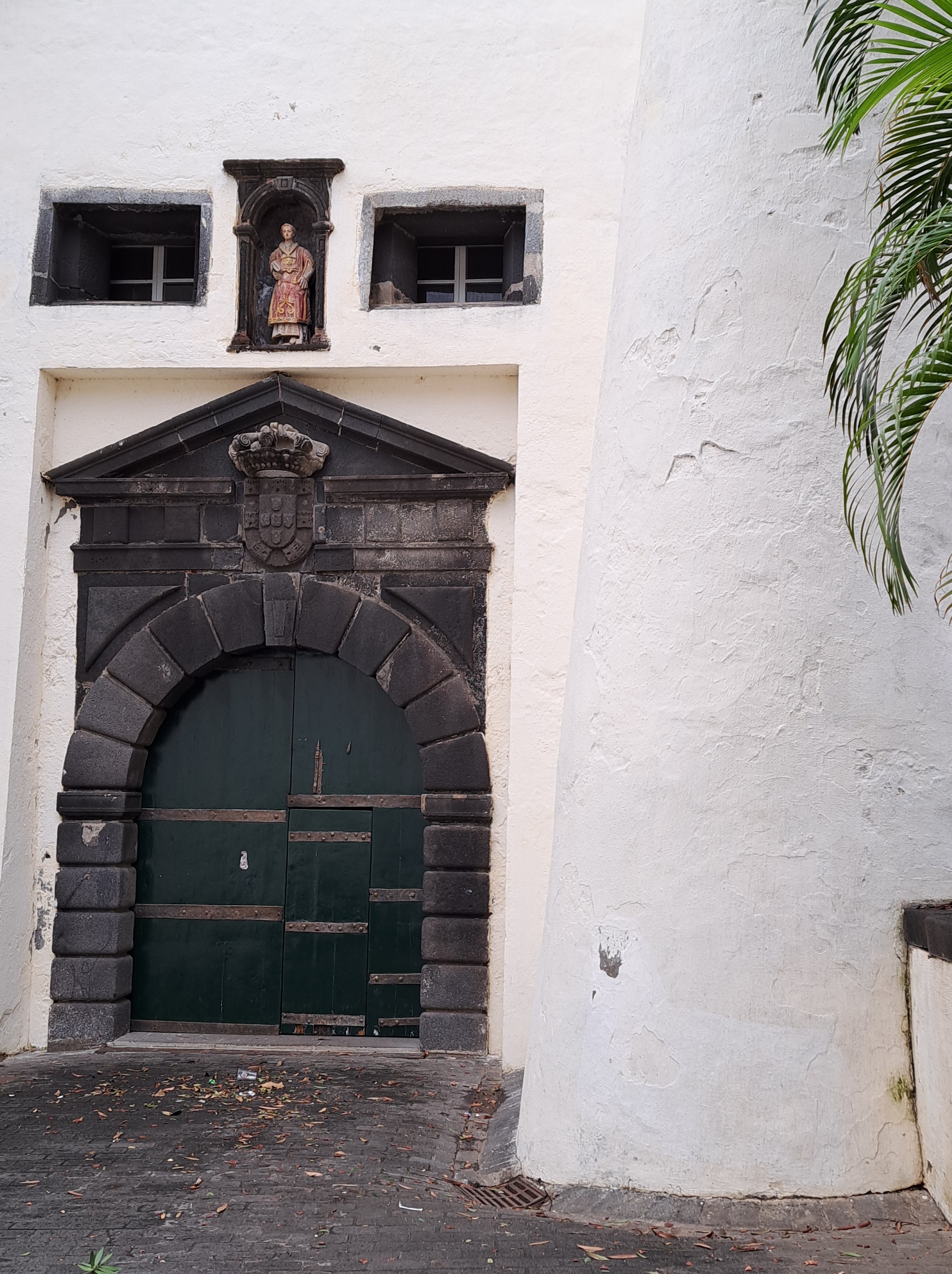
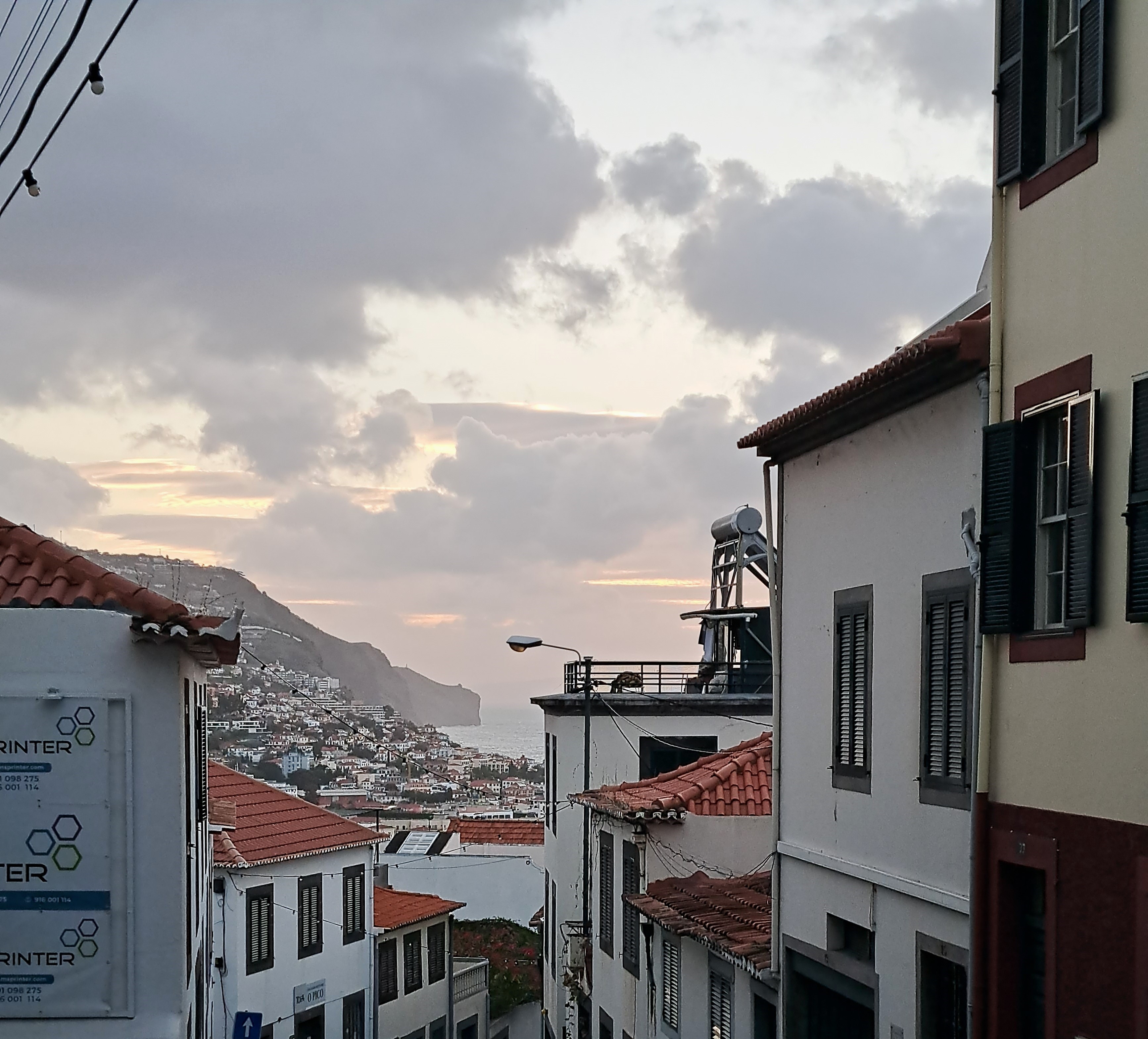
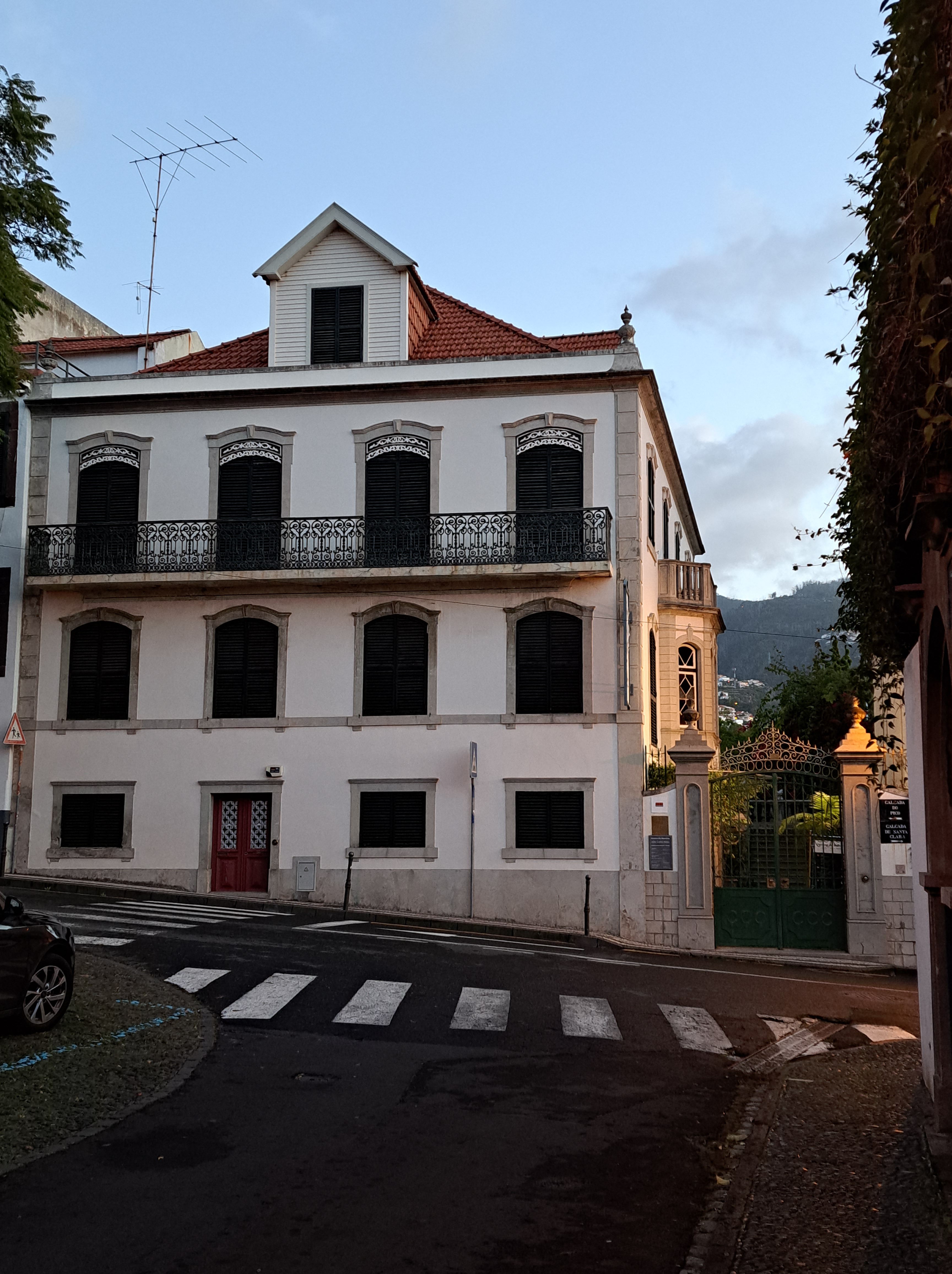
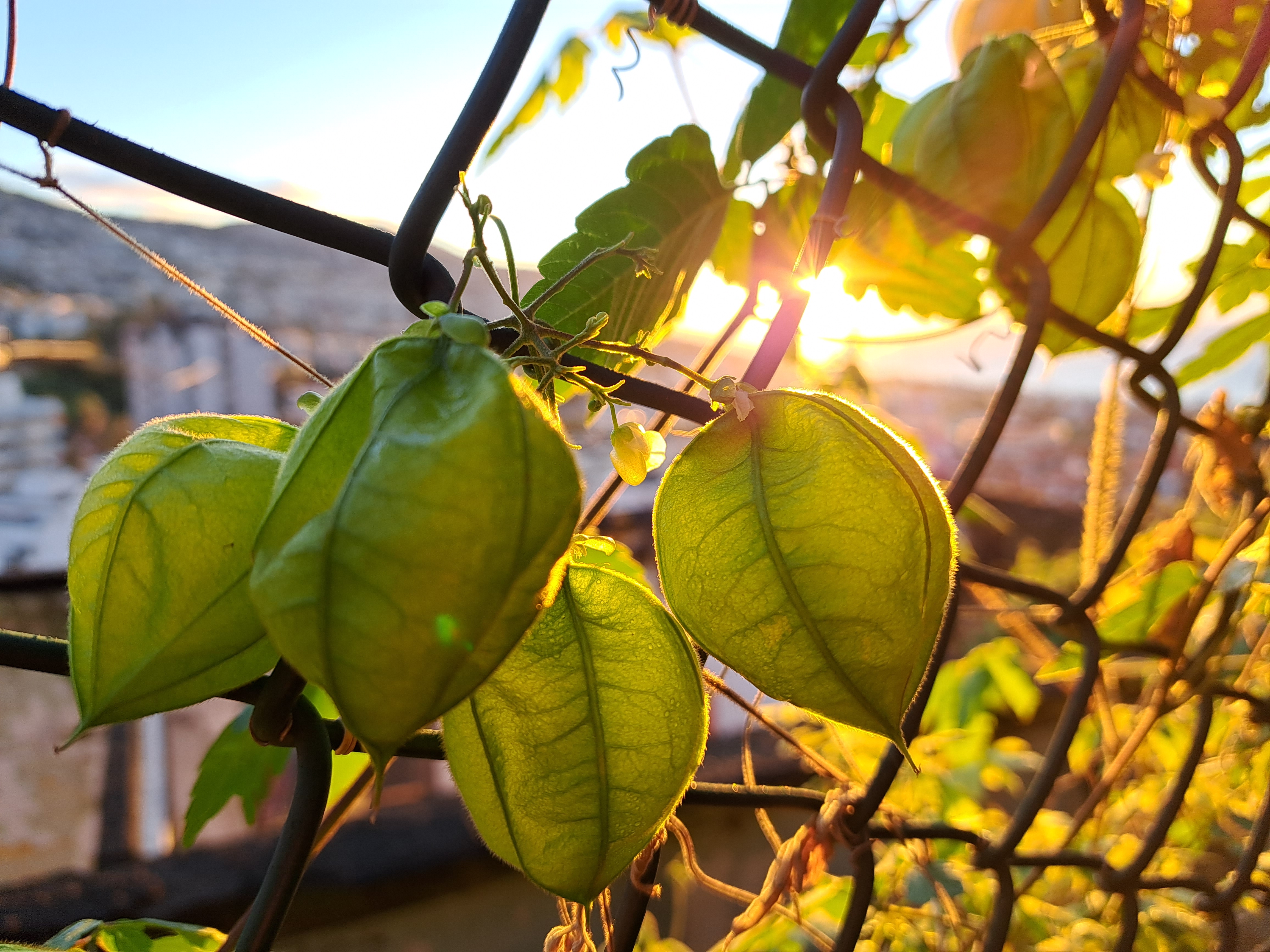
Turns out I neglected to let folks know that this particular trip is purely a vacation trip, not a stitch of work to be done. Since both John & Maria have asked, thought it worth stating that I’m here for the 2 hours more of daylight that Madeira gets at this time of year, plus just a change of pace and place…to a place where mountains, beaches, hiking paths, lovely architecture, interesting history, and world-famous Madeiran wines are all readily reachable. As are the beaches and the gorgeous coastline :-).

And as it happens, the beach at Seixal boasts a sign telling us that this beach has been rated the #3 best beach “in Europe.” In Europe means it’s part of Portugal, which is indubitably European…but geographically we’re a good deal closer to the African mainland than to any other large body of land. Certainly a gorgeous beach, and reasonably swimmable temperatures even in December :-).

City Lights.8

Joys of being here in the festive season 🙂

Islands.8

Roughly five hours after I took that photo I last showed you, of Seixal on the north coast, we found ourselves in a scary-windy, wet end-of-day moment at the lighthouse on the farthest west point of the island, the Farol da Ponta do Pargo. These are the cliffs looking northeast from the ledge below the lighthouse. Standing there was both beautiful and frightening. From this point, going west, the next inhabited land would be one of the islands of the Caribbean – and that’s a long, long way away.

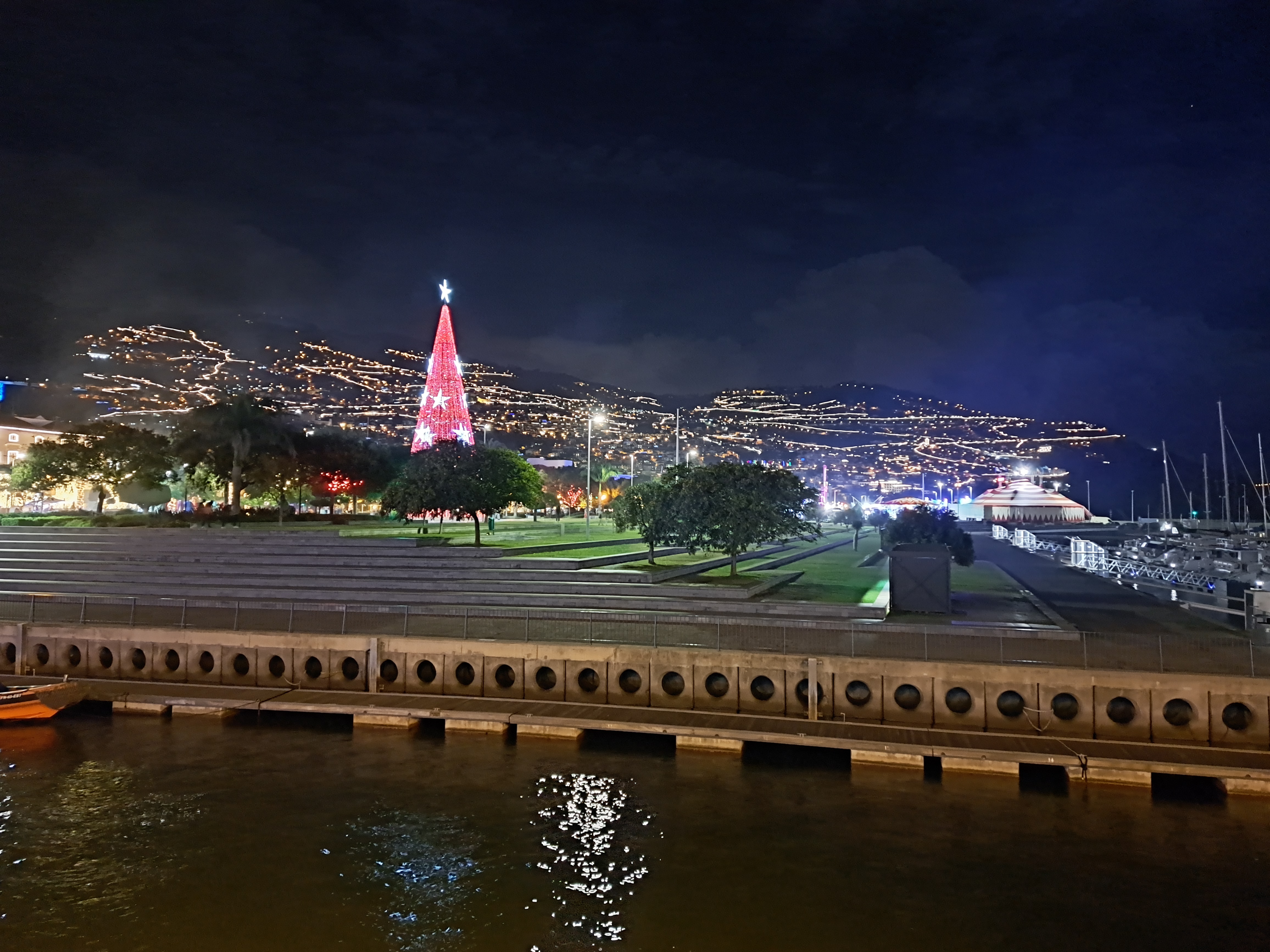
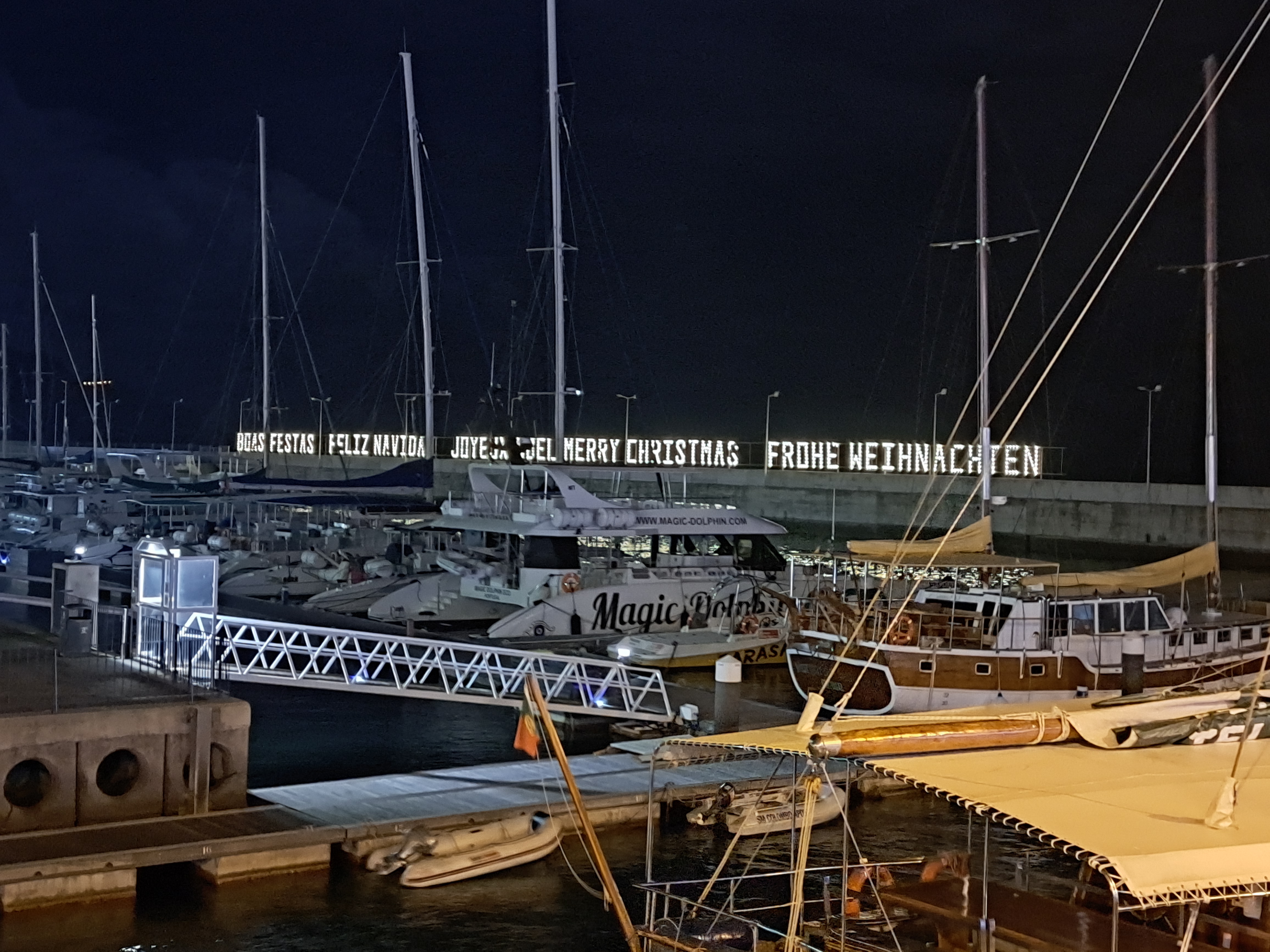
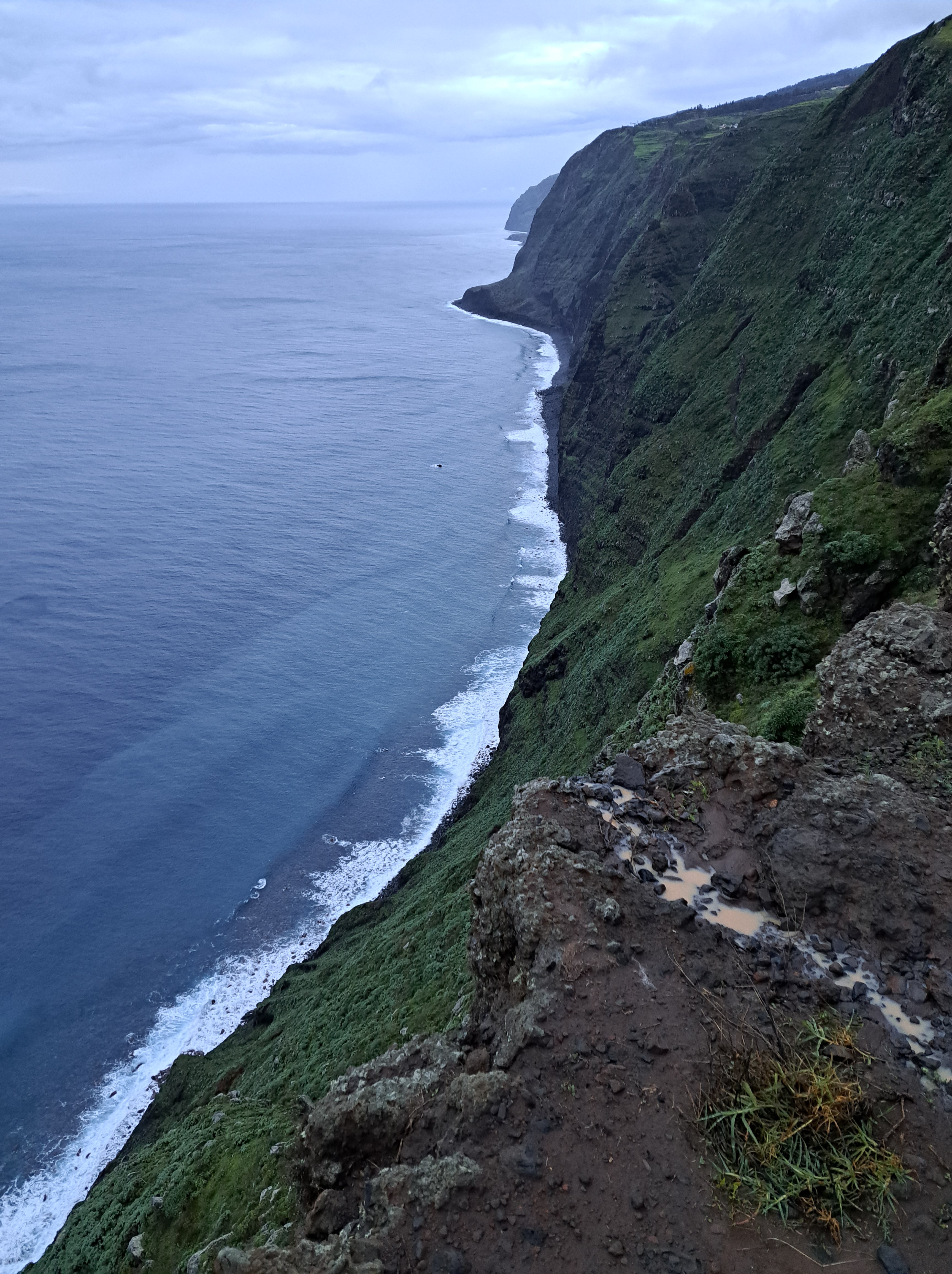
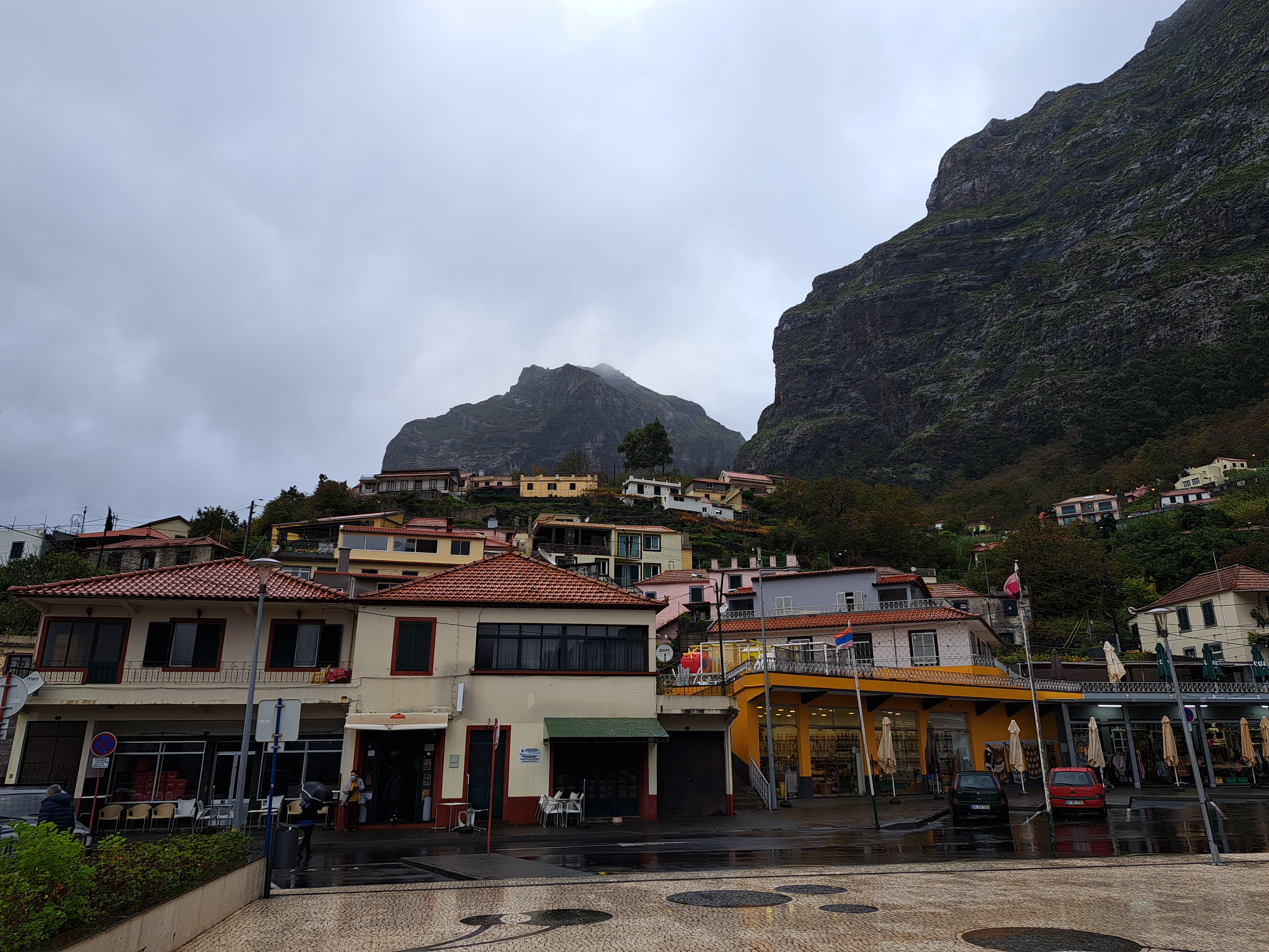
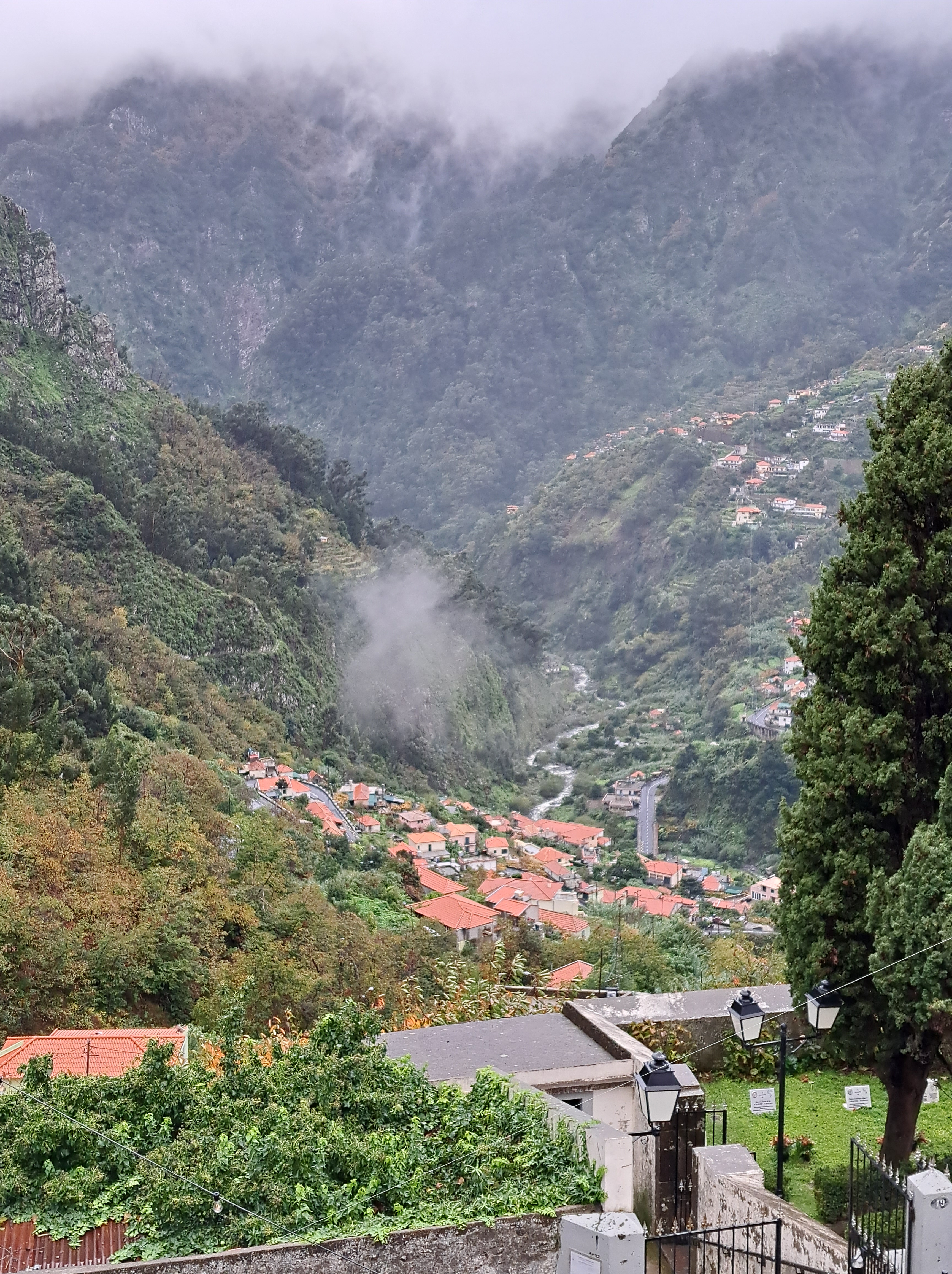
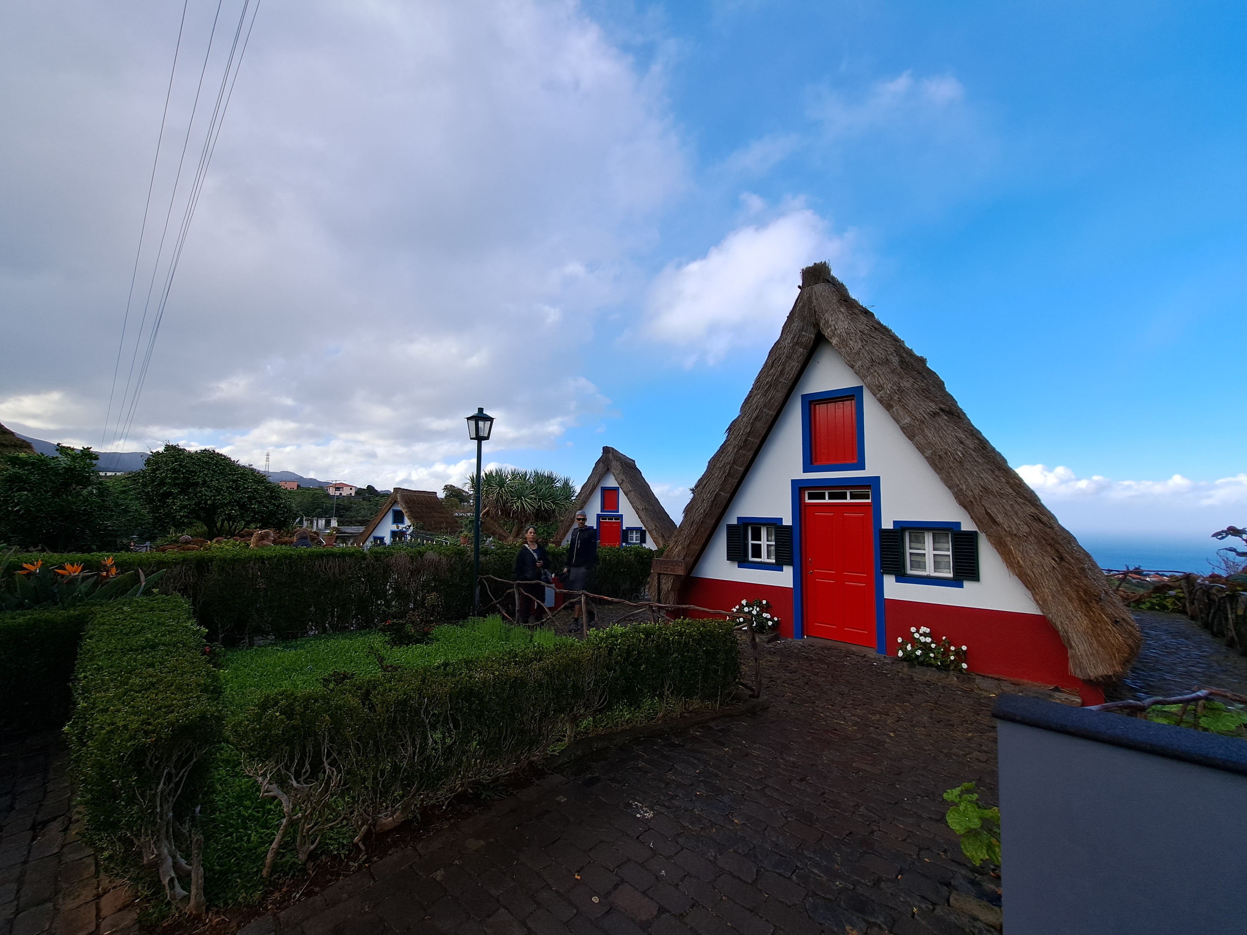
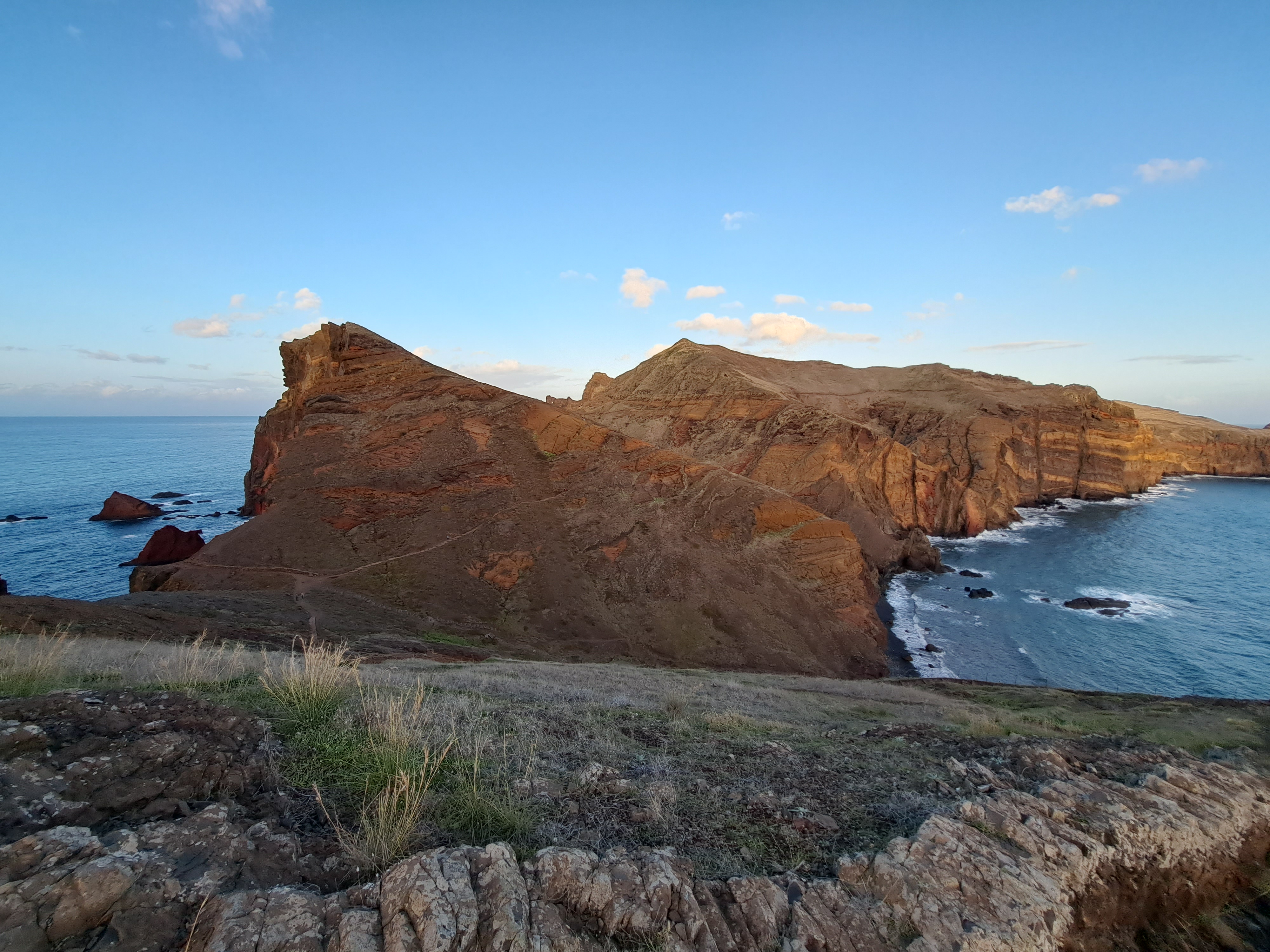
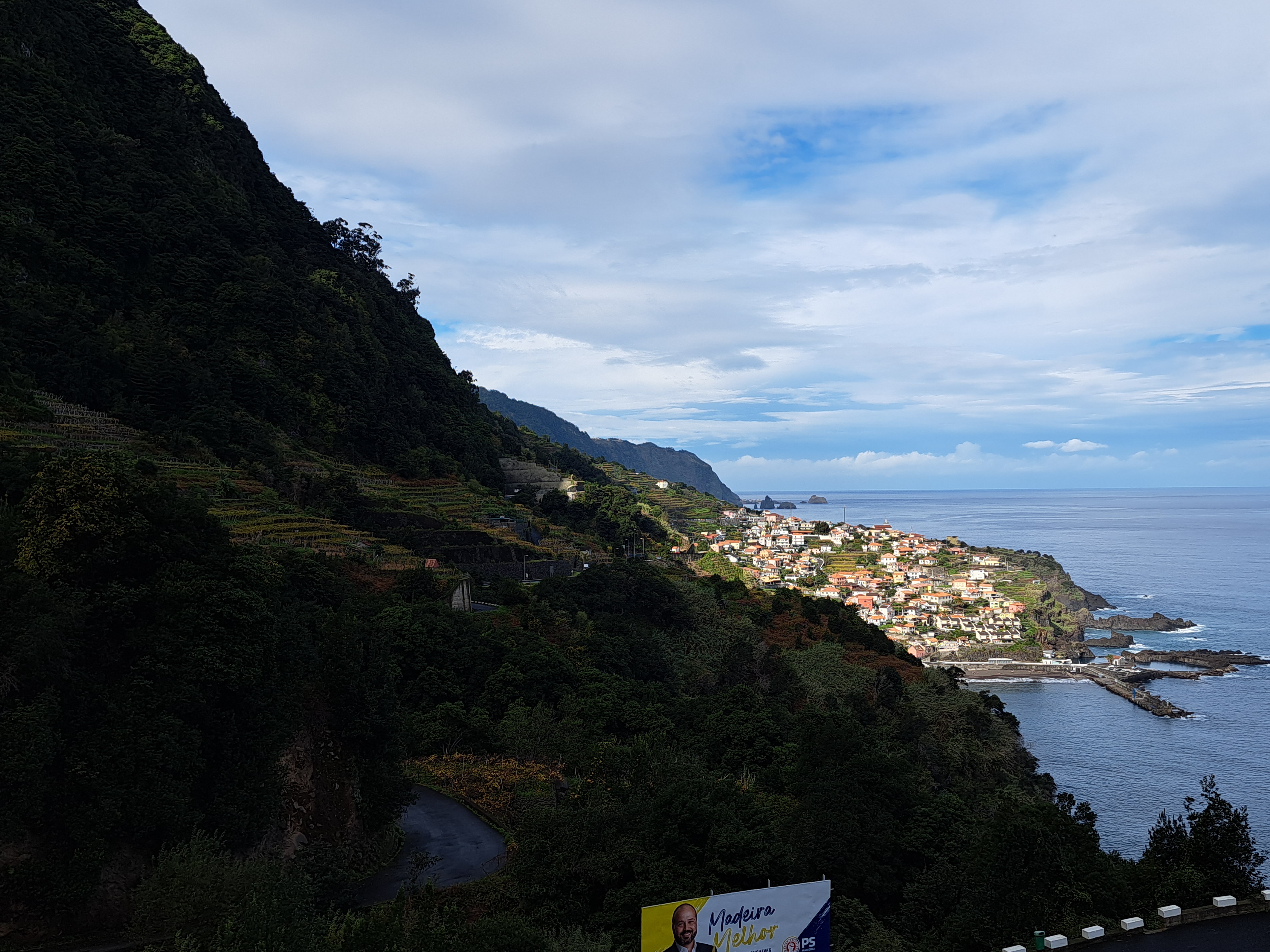
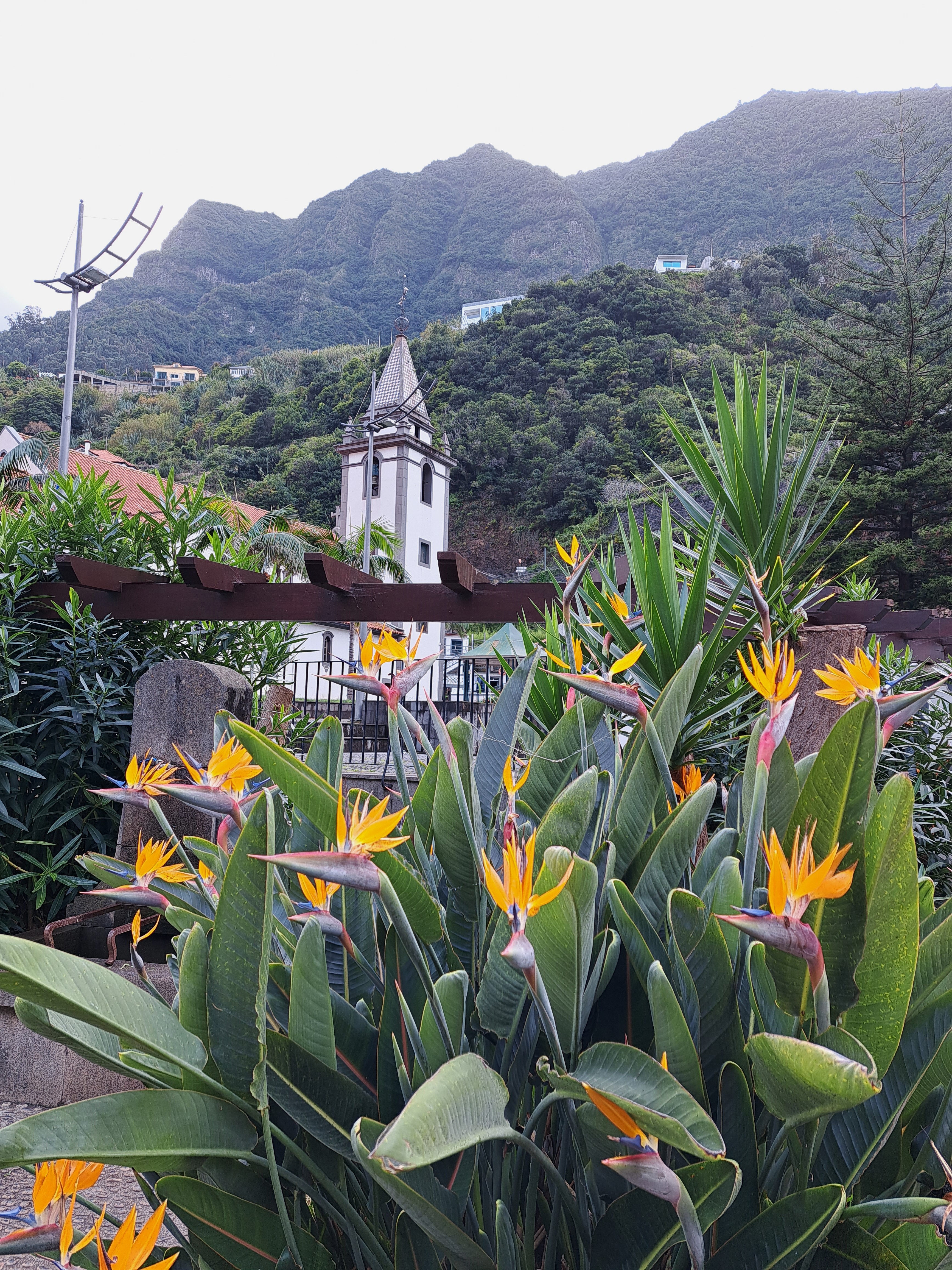
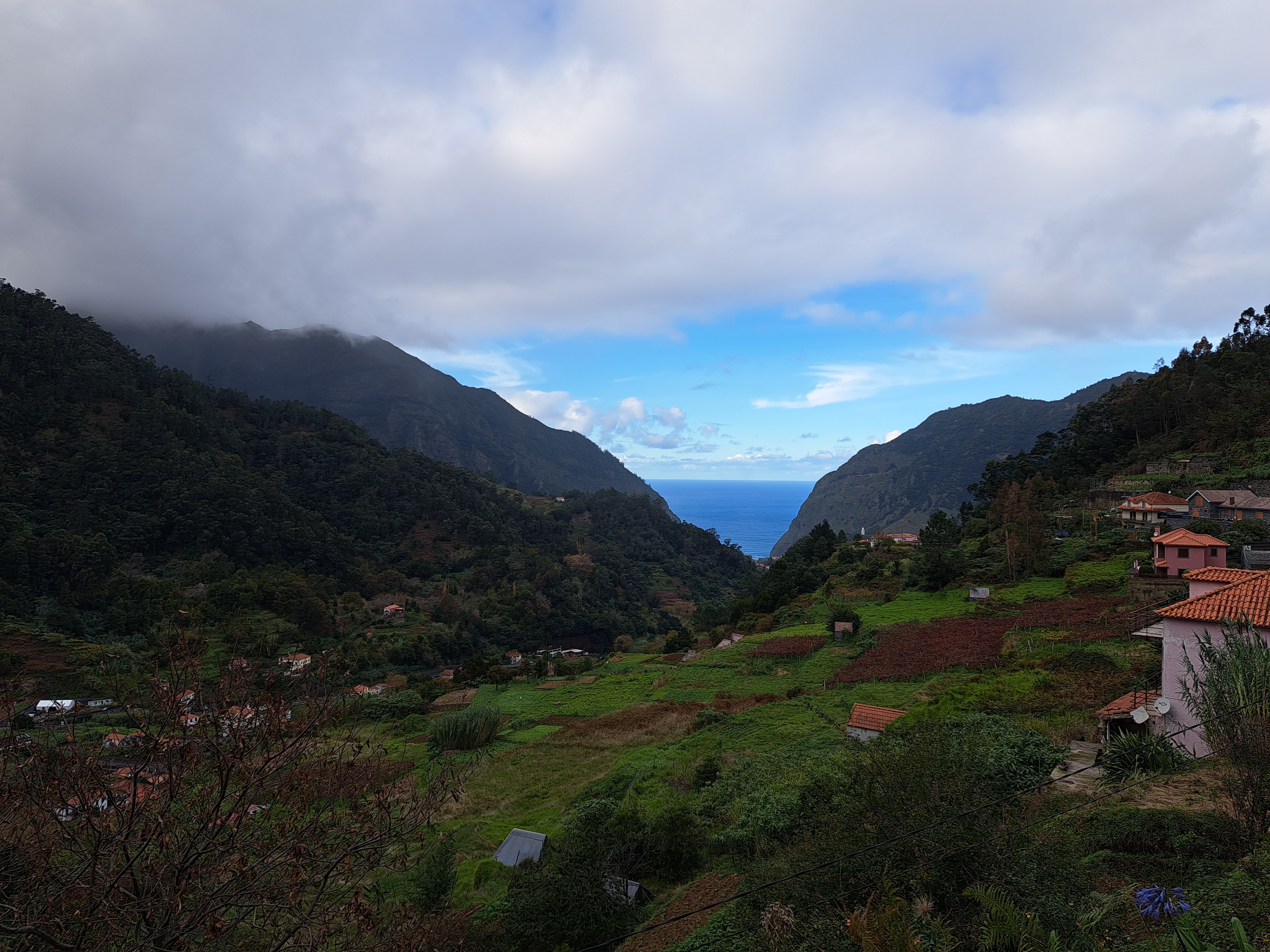
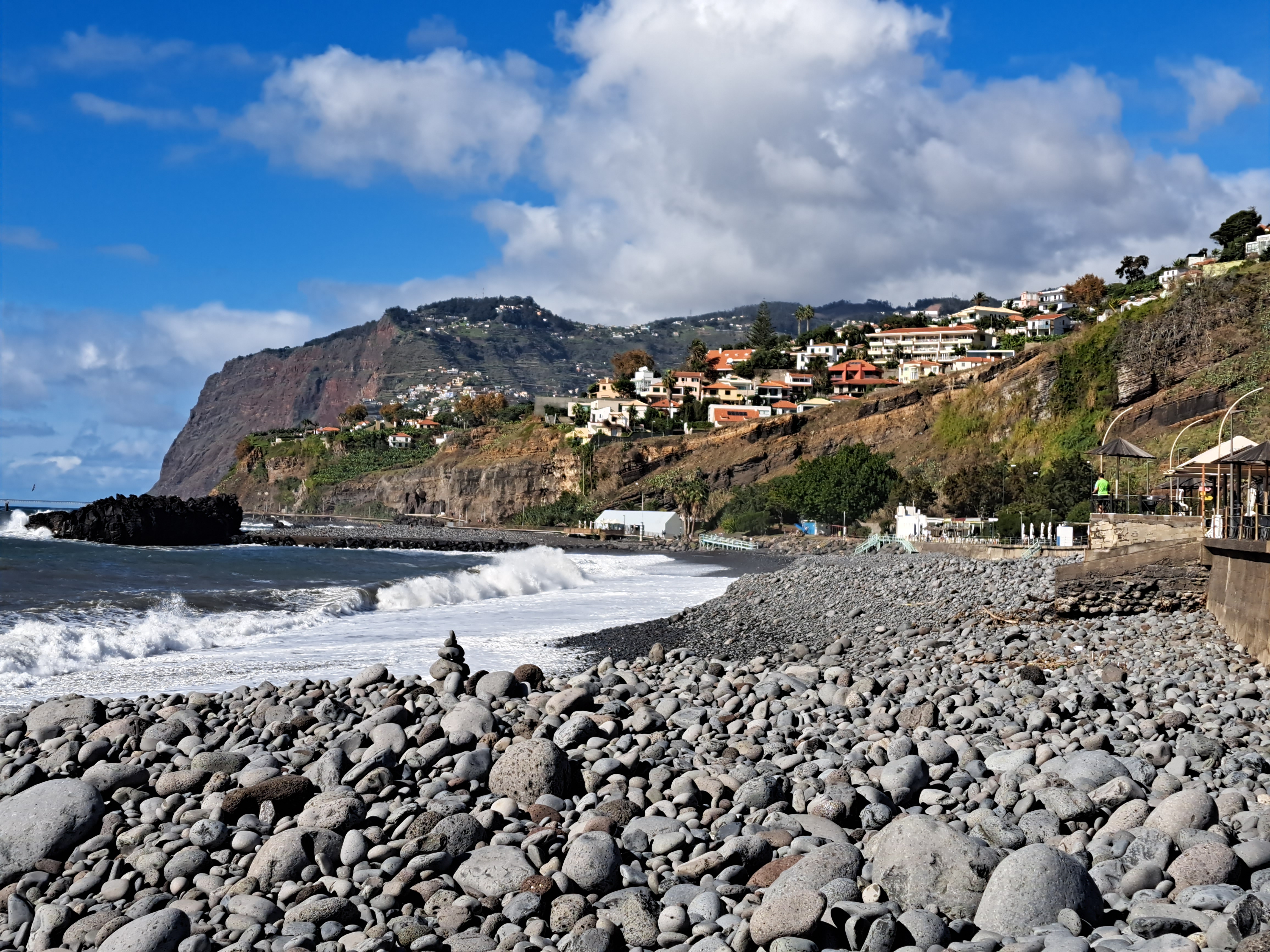
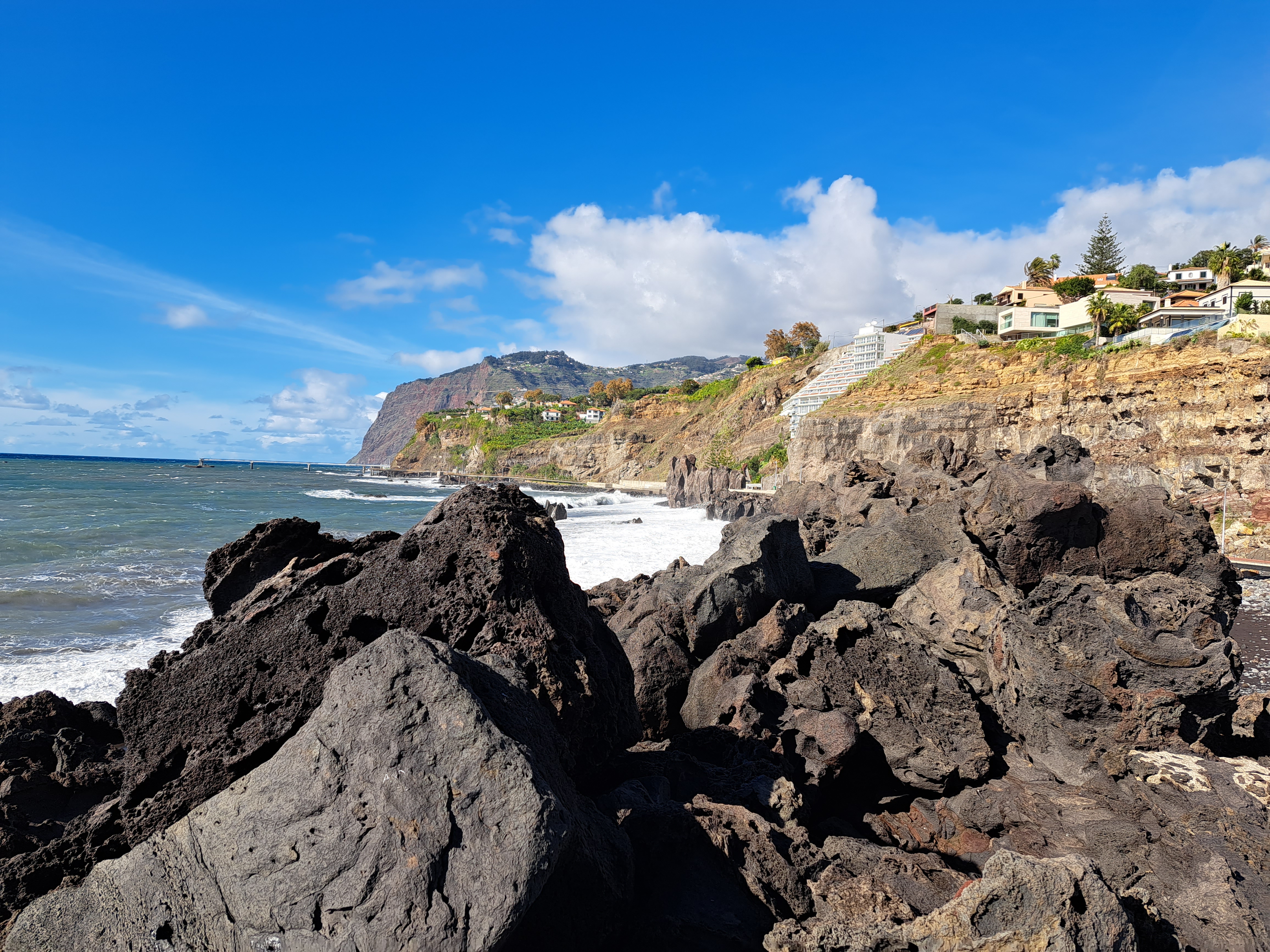
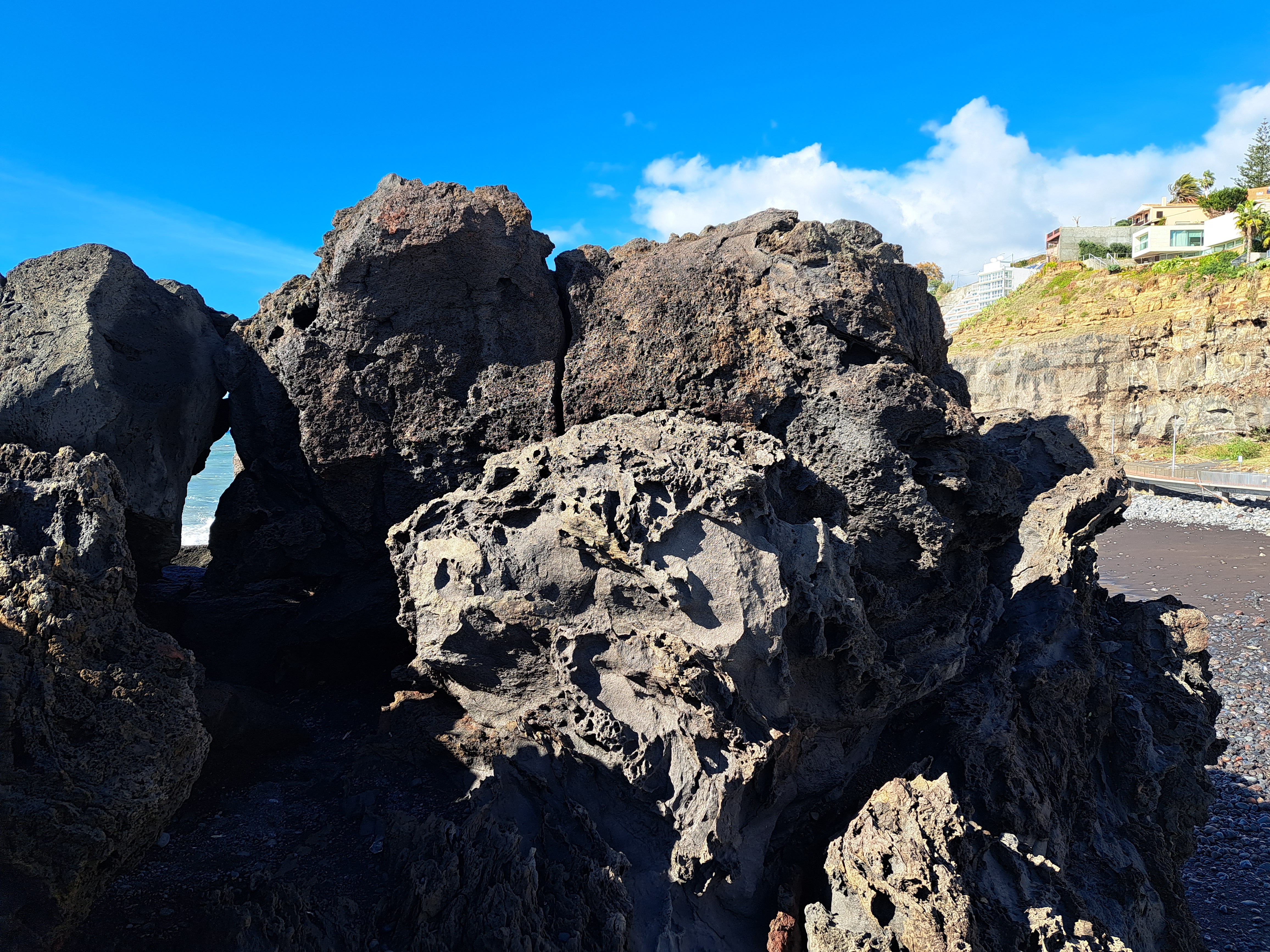
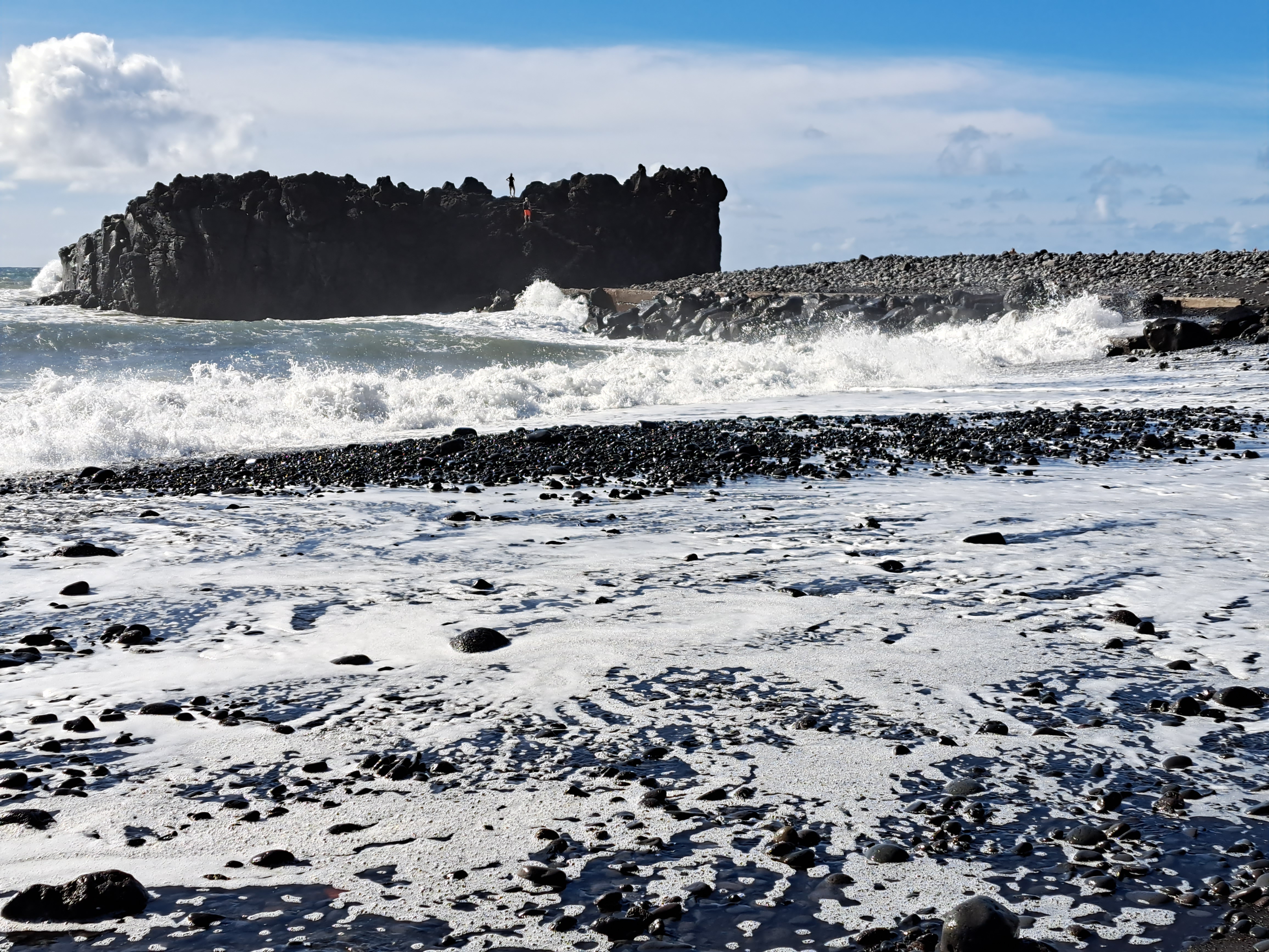
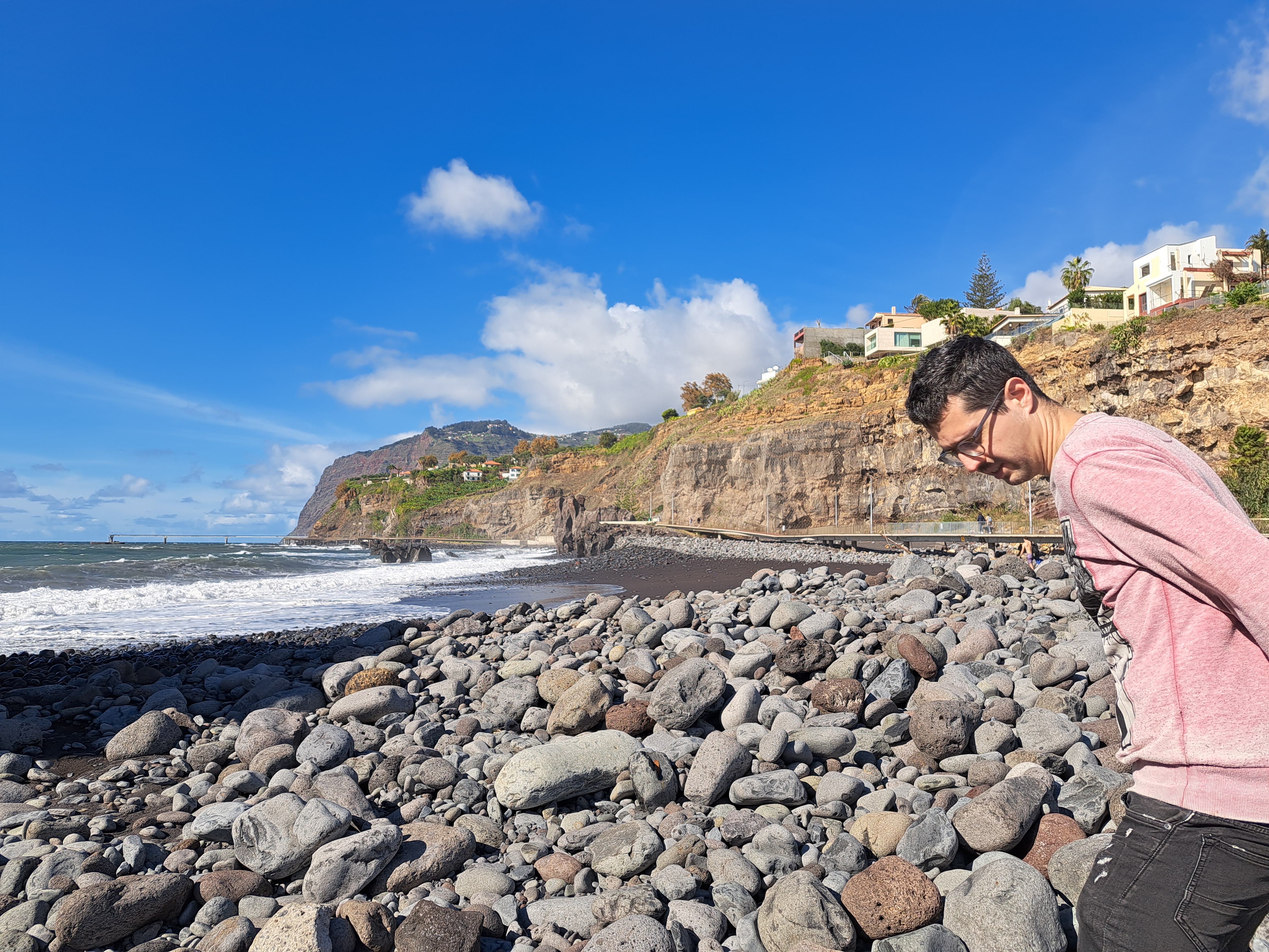
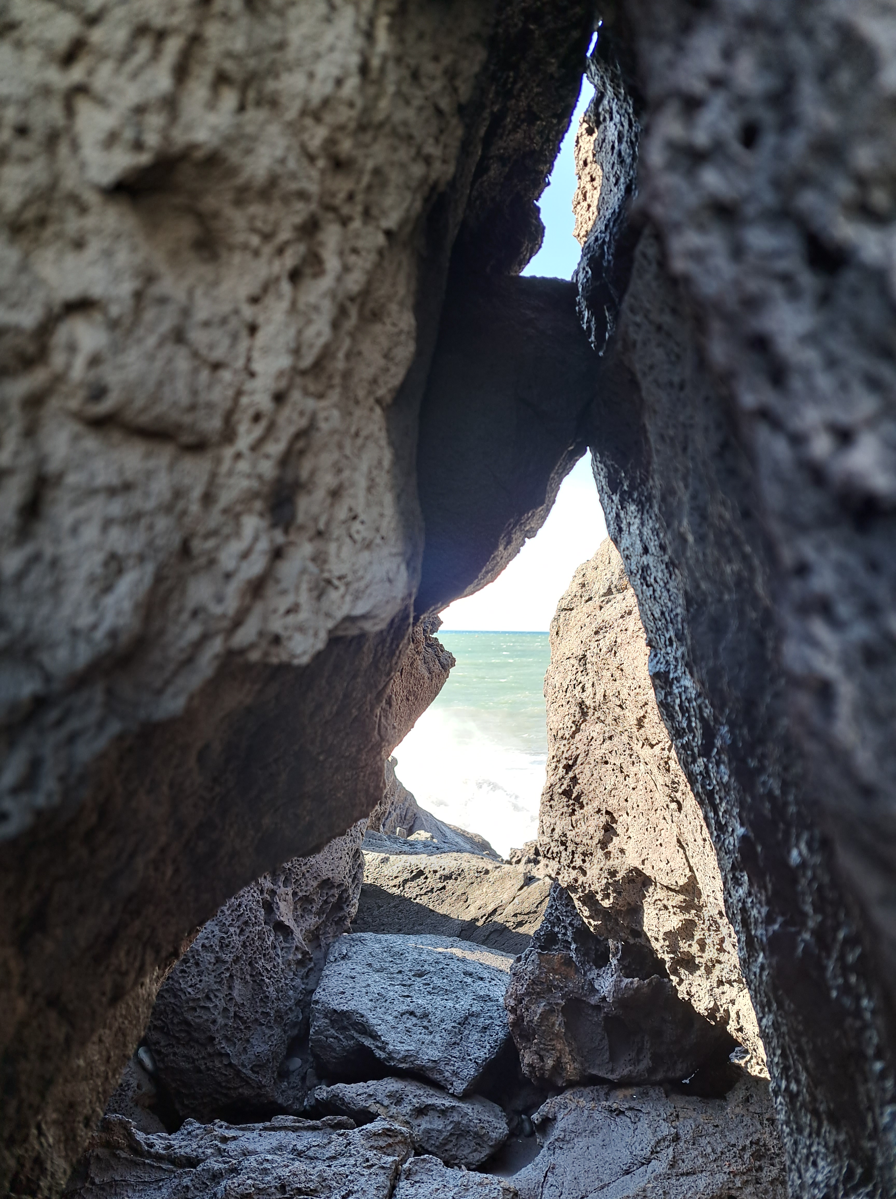
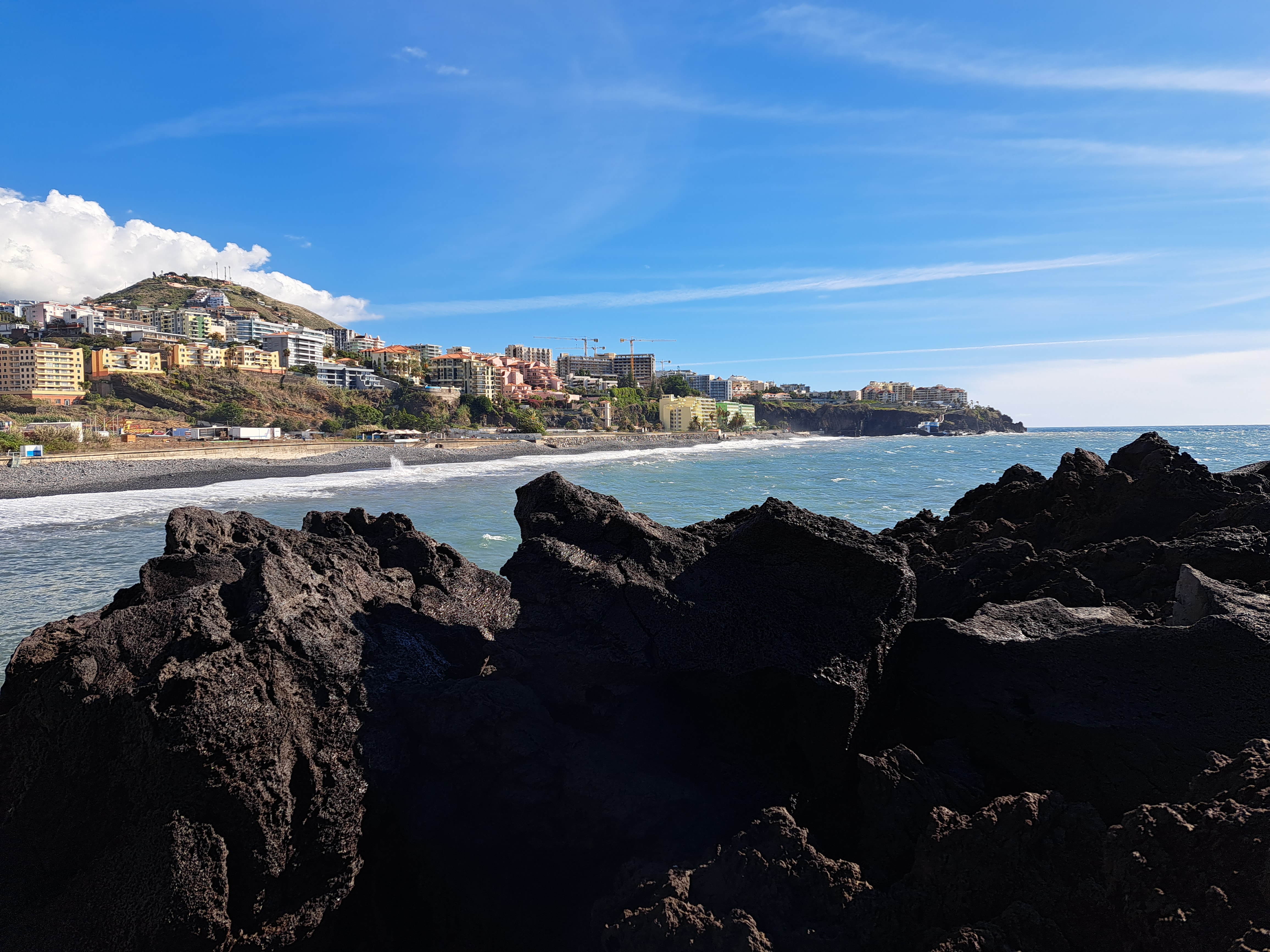
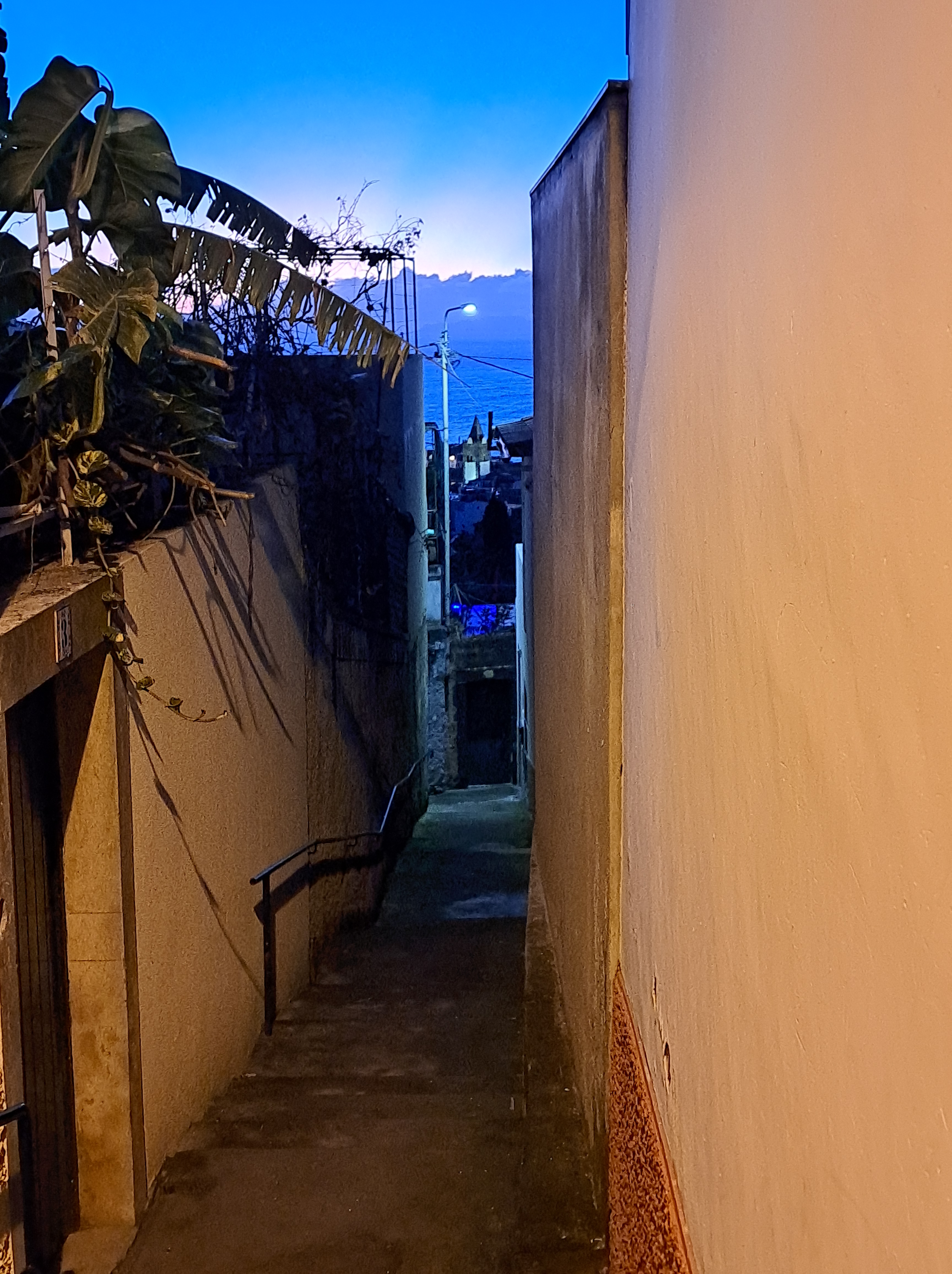
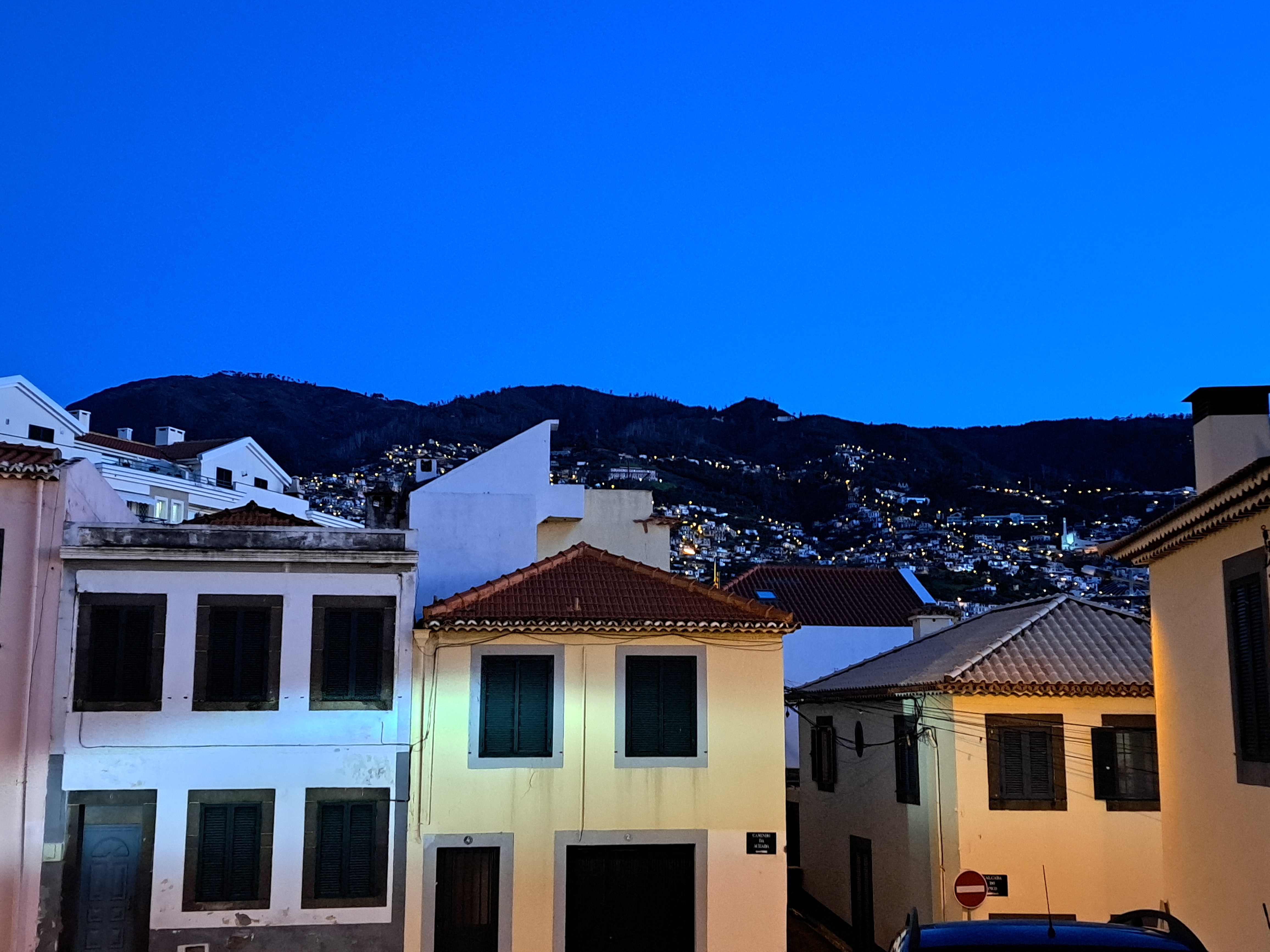
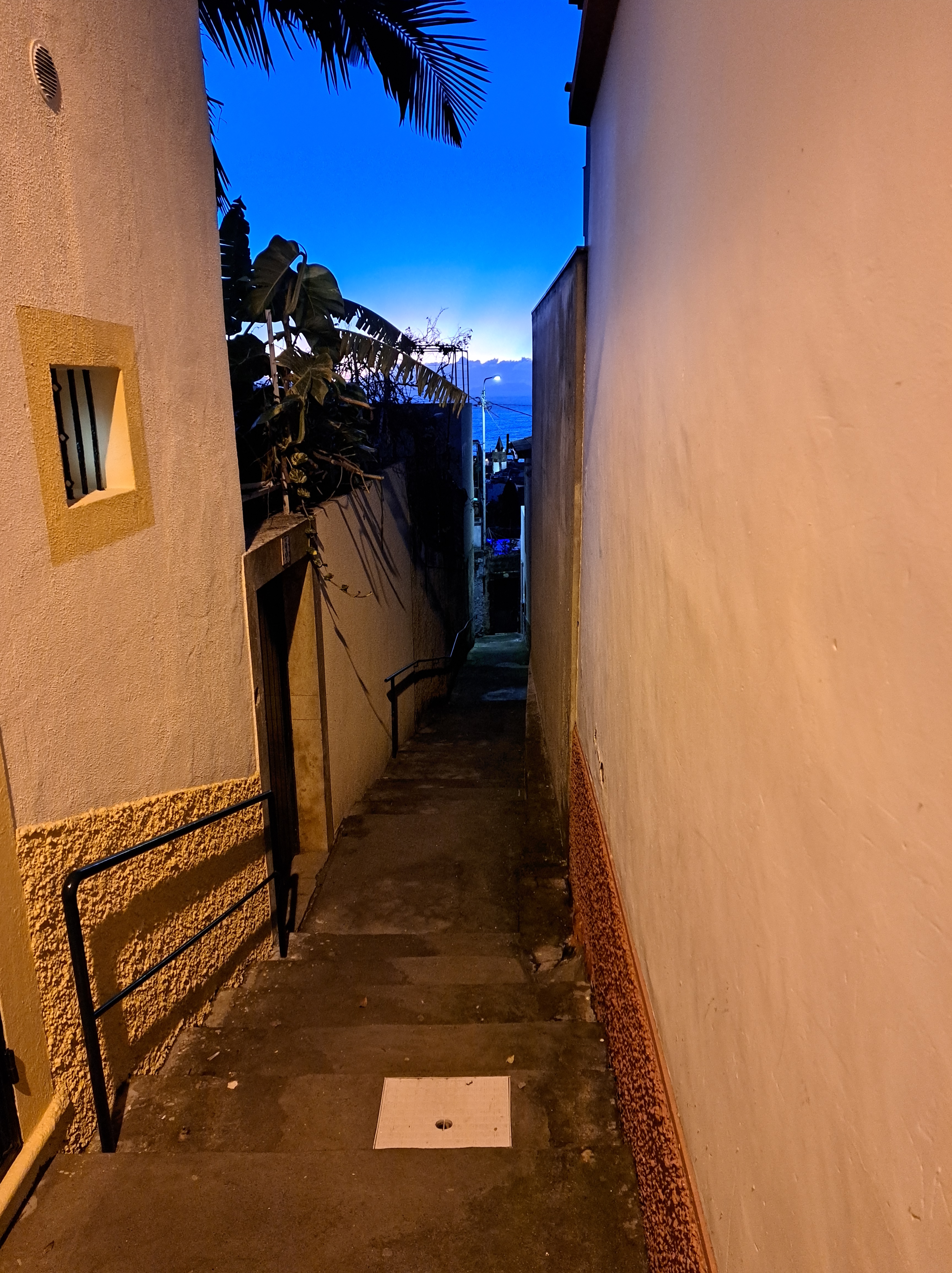
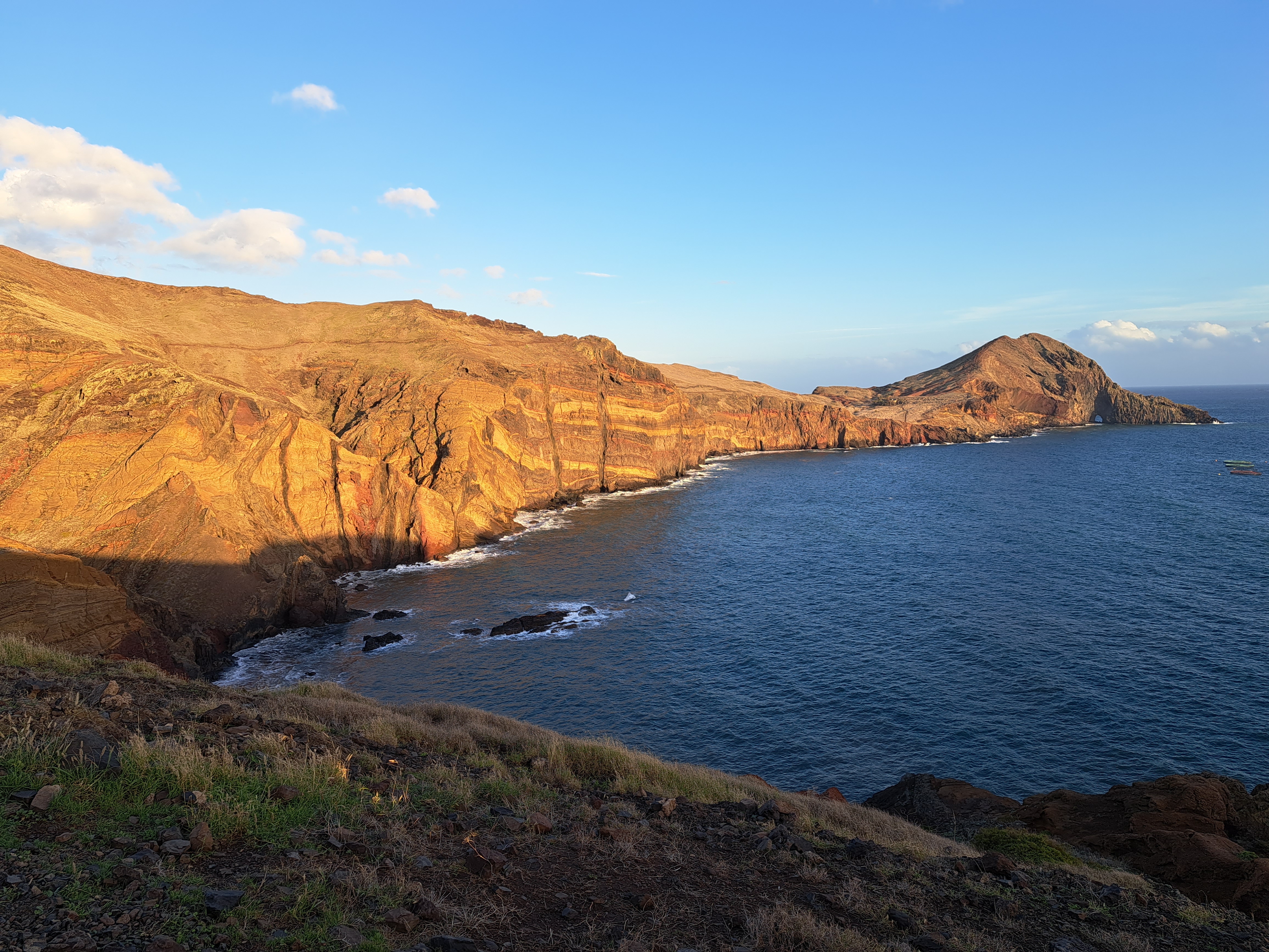
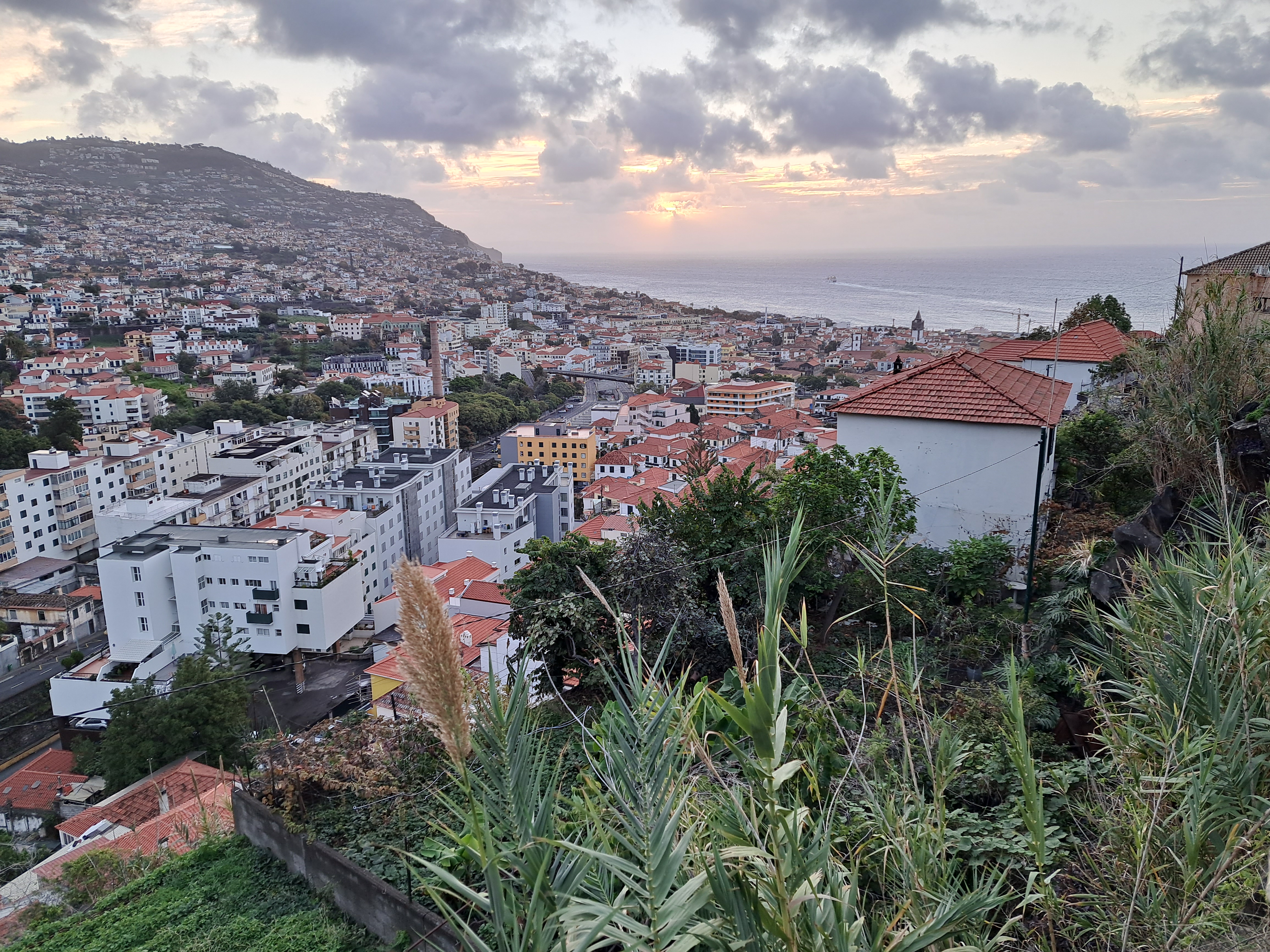
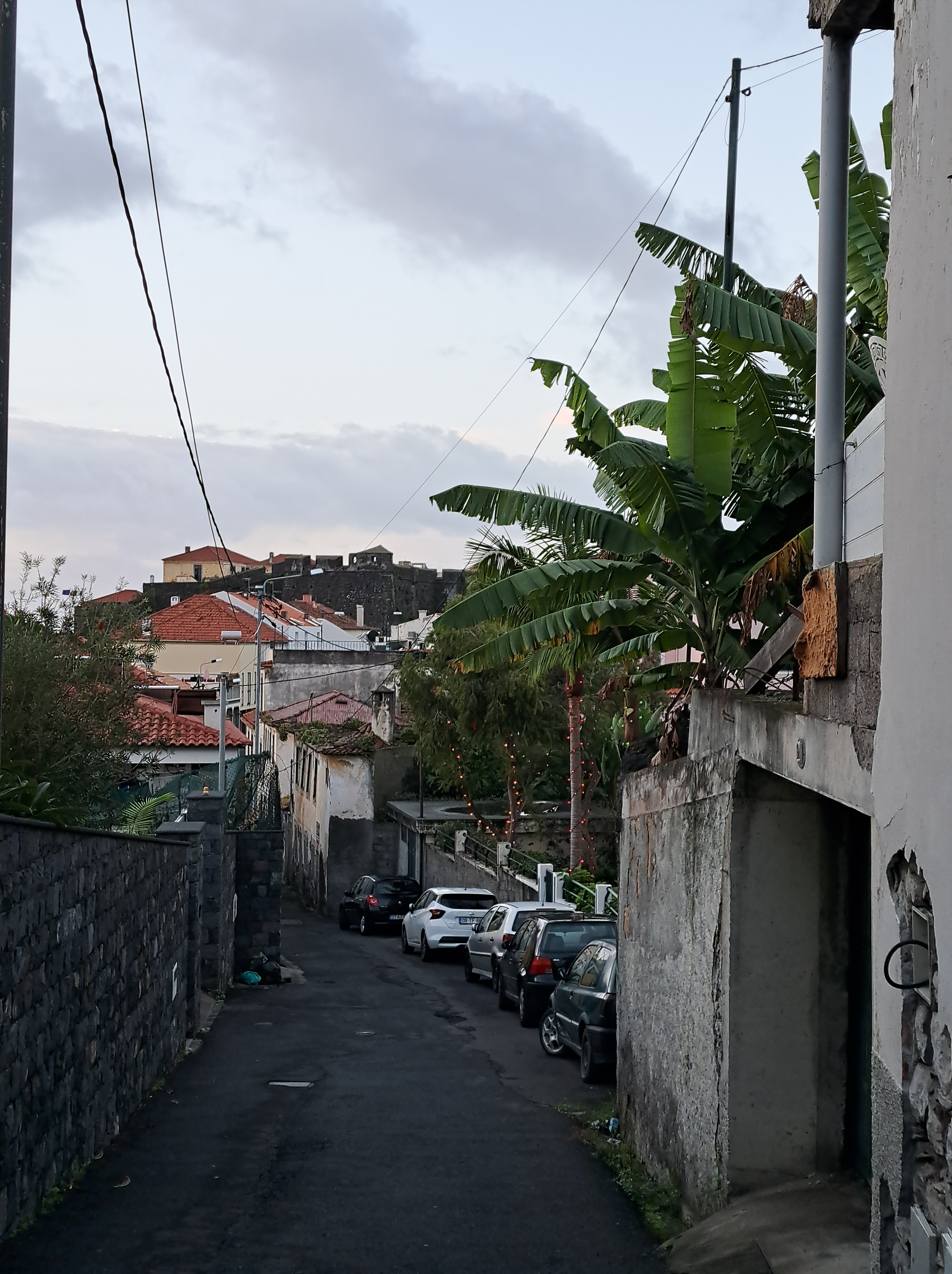
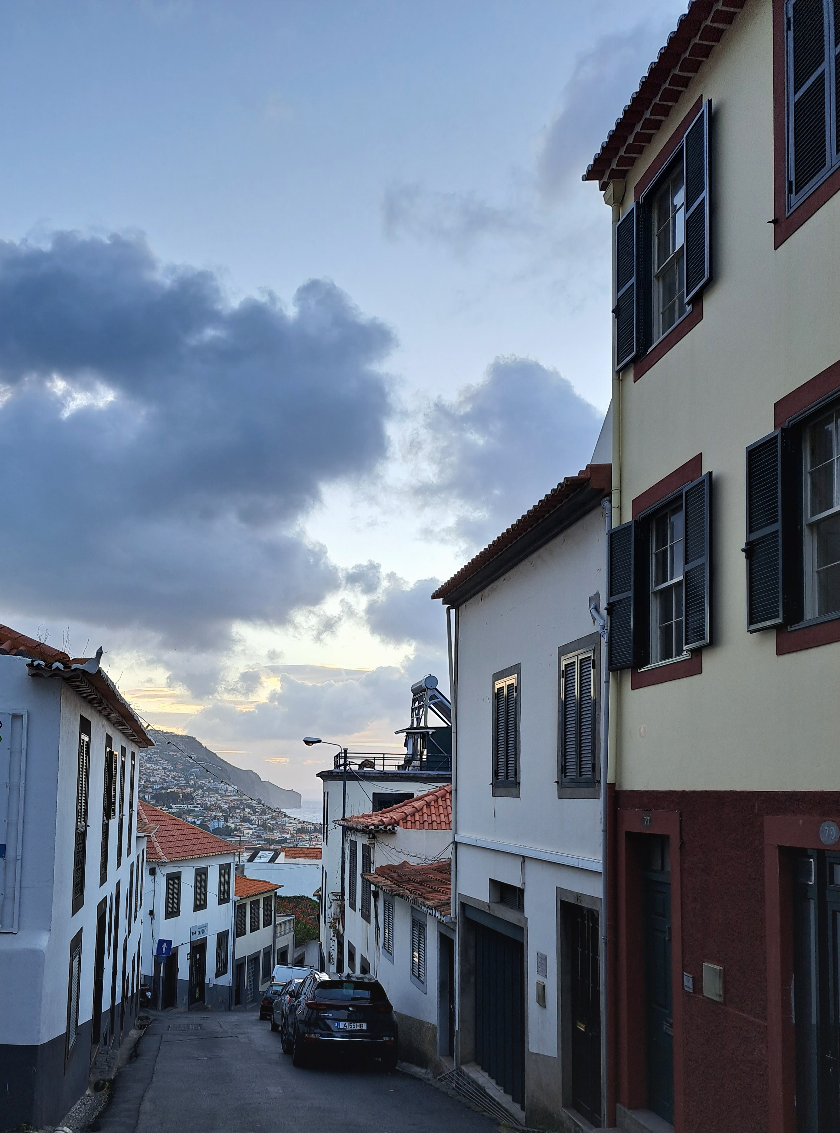
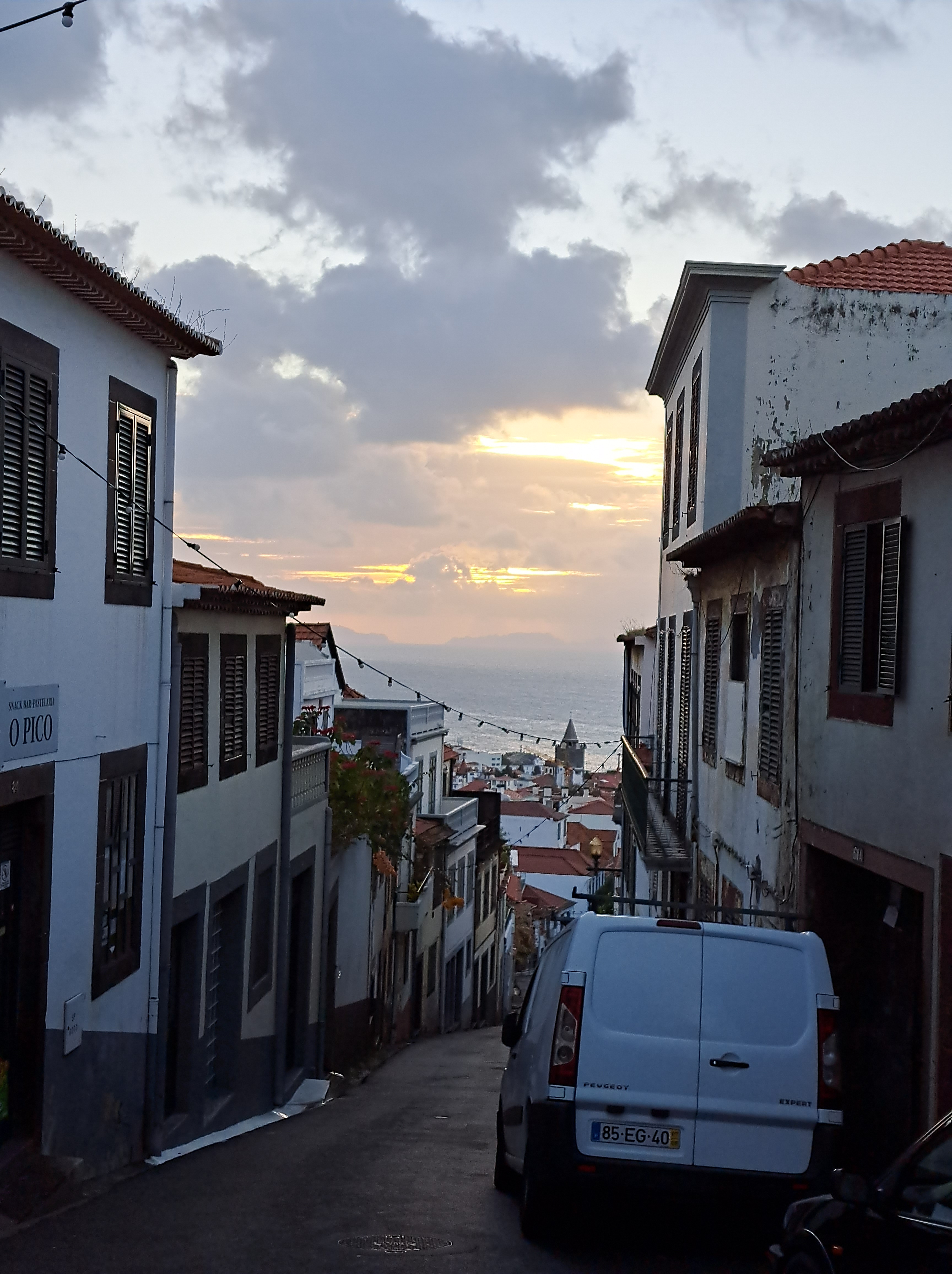
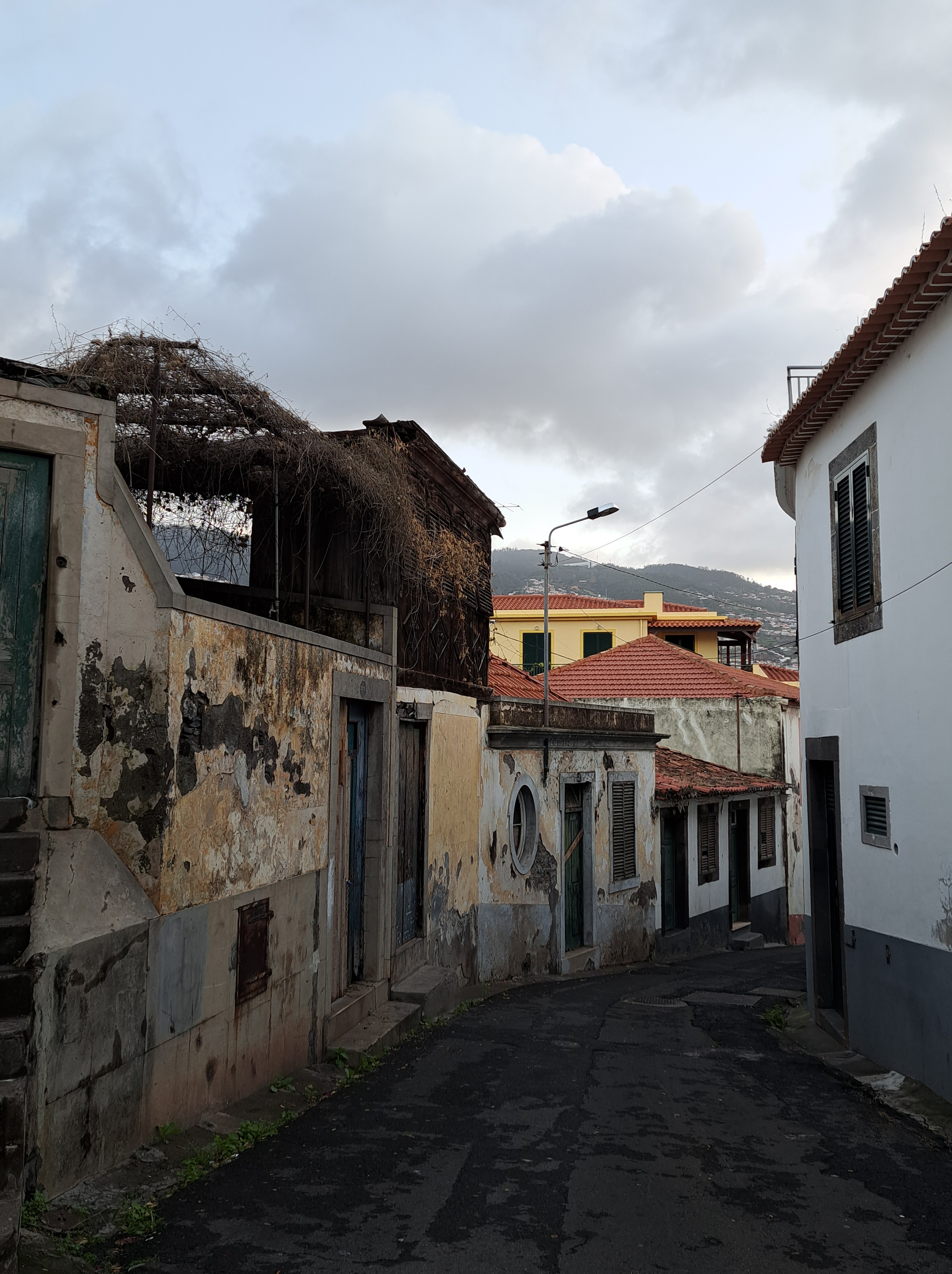
Thus far we’ve shown you photos of only one location per post for Madeira, but since I’ve now been here five days (with only two more to go, before I decamp for a few days in Porto on the Portuguese mainland) and have covered the width, breadth and depth of the island, I’m going to show you below a few more photos of places we visited in the 24 hours after this photo above. As you’ll see, the island has enormous range of climate, flora, landscape, feel.

Views from the center of the village of Curral das Freiras, looking both up (above) and down (below) — so that you have a sense of how remarkably steep is the valley across which this little village is spread. The name means Pen (or Corral, or Refuge perhaps…) of the Nuns, apparently because nuns took refuge here during some attack of the Napoleonic wars, though accounts vary. I didn’t take any photos from the top of Pico do Arieiro, which we visited next, simply because there was so much fog, wind and rain that there was absolutely no point.
After being blown off the 1800+-meter high Pico do Arieiro by the wind and rain, we rolled on down to the northern-coastal town of Santana, whose main claim to fame are these cute little A-frame “traditional houses.”
…and we ended the day on the easternmost point of the island, at Ponta de São Lourenço. Obviously I’ve got tons more photos from these places and more which we’ll be showing you in weeks ahead. Now that I’ve caught the numbers up, some of the Madeira shots will start fitting into other categories in order to accommodate my little number-sequence mania du moment. 🙂

Islands.7

The lovely north-coast town of Seixal, with a few vineyards (for those famous Madeiran wines) visible as well.

Islands.6

The church in the lovely little town center of Sao Vicente, on the north coast of the island at one end of a the “huge valley that tears Madeira into two halves,” to quote the LP pocket Madeira guidebook 🙂

Islands.5

Looking north from the same valley as our last post (which showed the view looking south from Serra de Agua). At the bottom of the valley is Sao Vicente, of which more later, naturally. 🙂