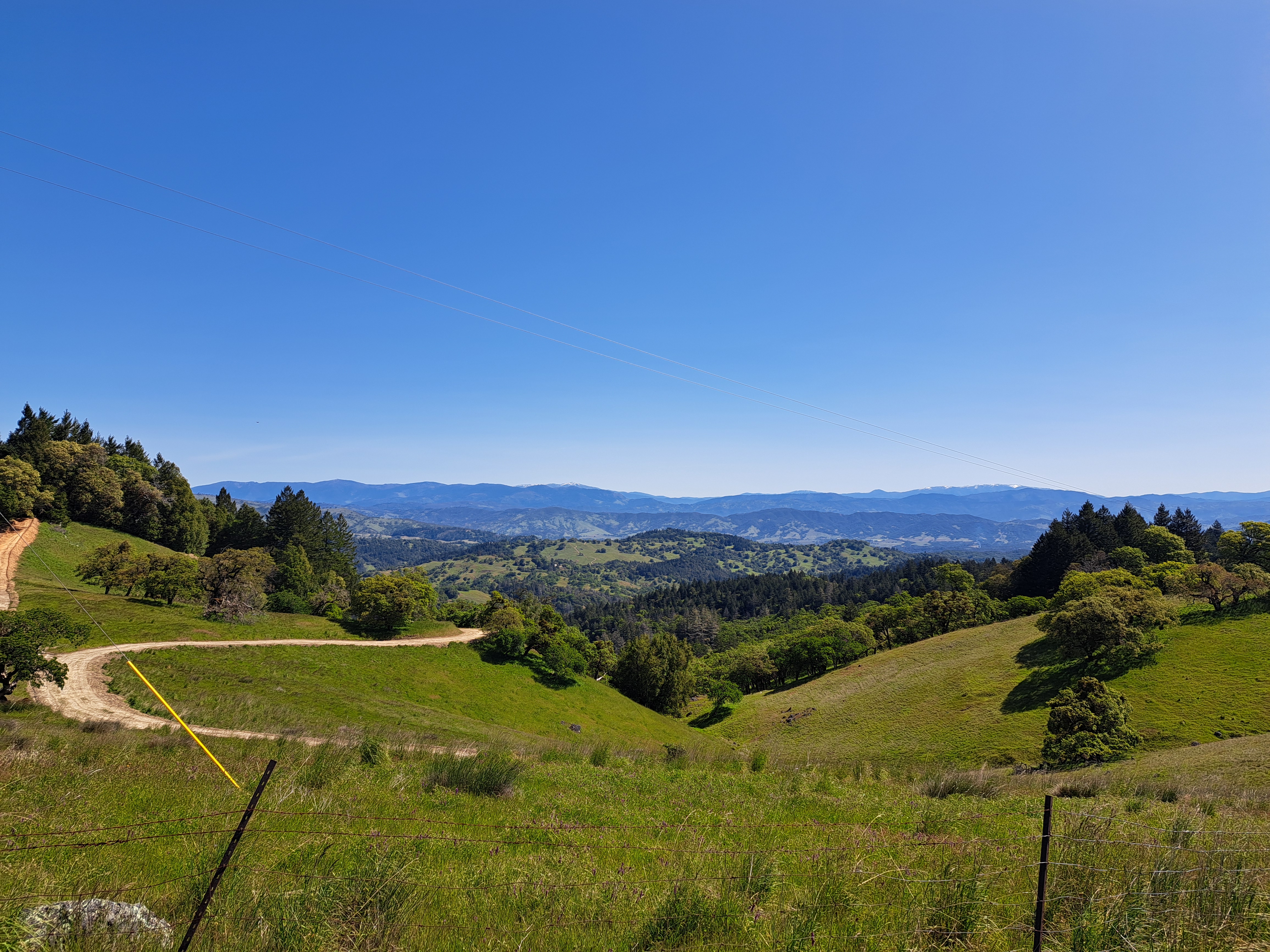
During my recent stay in California, I got as far north as central Mendocino County when I spent two glorious nights off-network or wifi at all-natural Orr Hot Springs. I took the coast road up from Sonoma County, but cut over to Ukiah and the freeway for the trip back. This photo is from the crest of the coast range west of Ukiah, and if you look closely above or below you will see what I’m 99% confident are the snow-capped east and west peaks of Snow Mountain (which we’ve shown you before), more or less E-NE of this spot. Both peaks are well over 2,100 meters (7,000 feet) high, and it’s good to see at least a bit of snow at that elevation this late in the season.
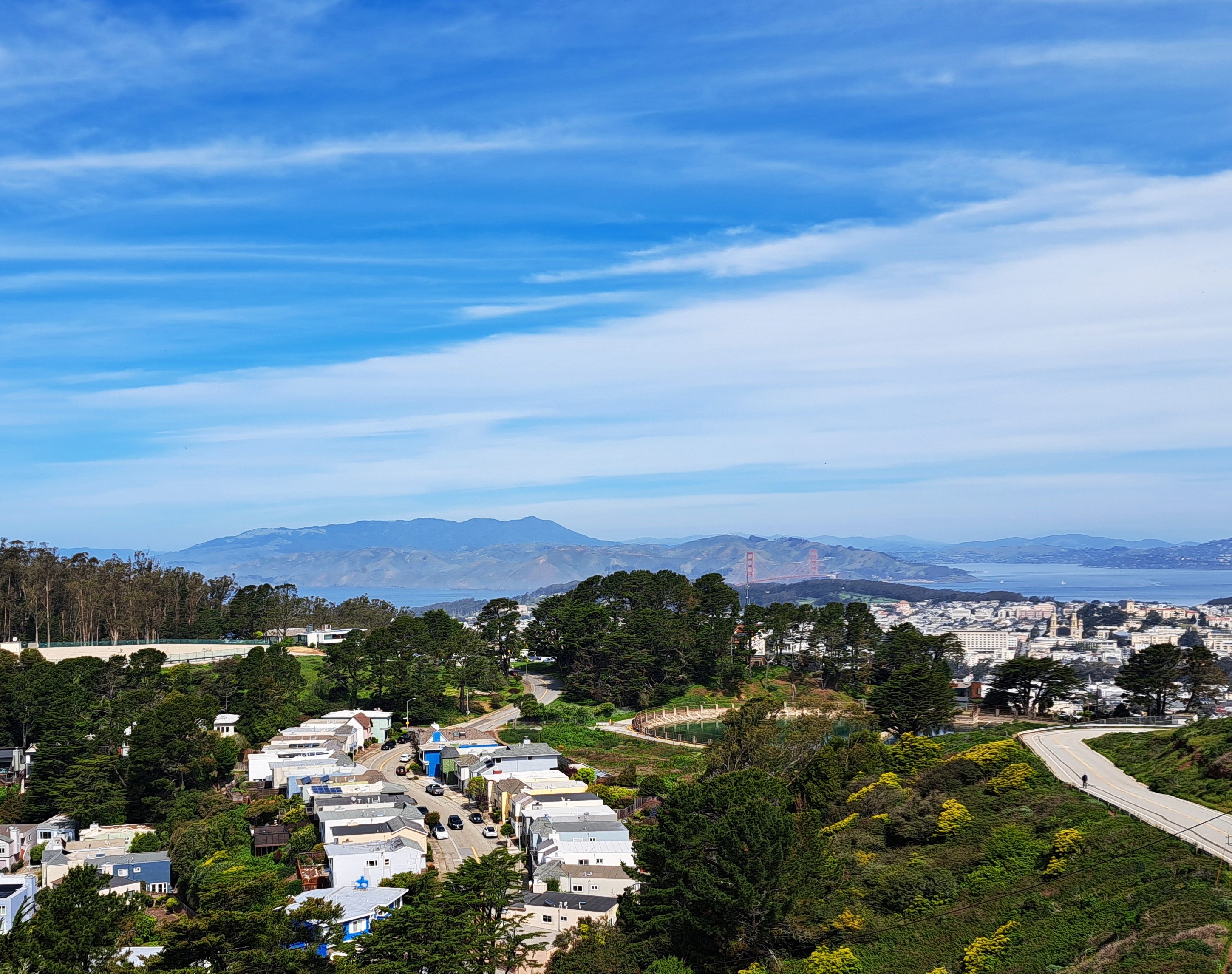
City & County of SF in the foreground; Marin County on the far side of the GG Bridge, and bits of at least Alameda & Contra Costa counties on the eastern side of the bay (top right).
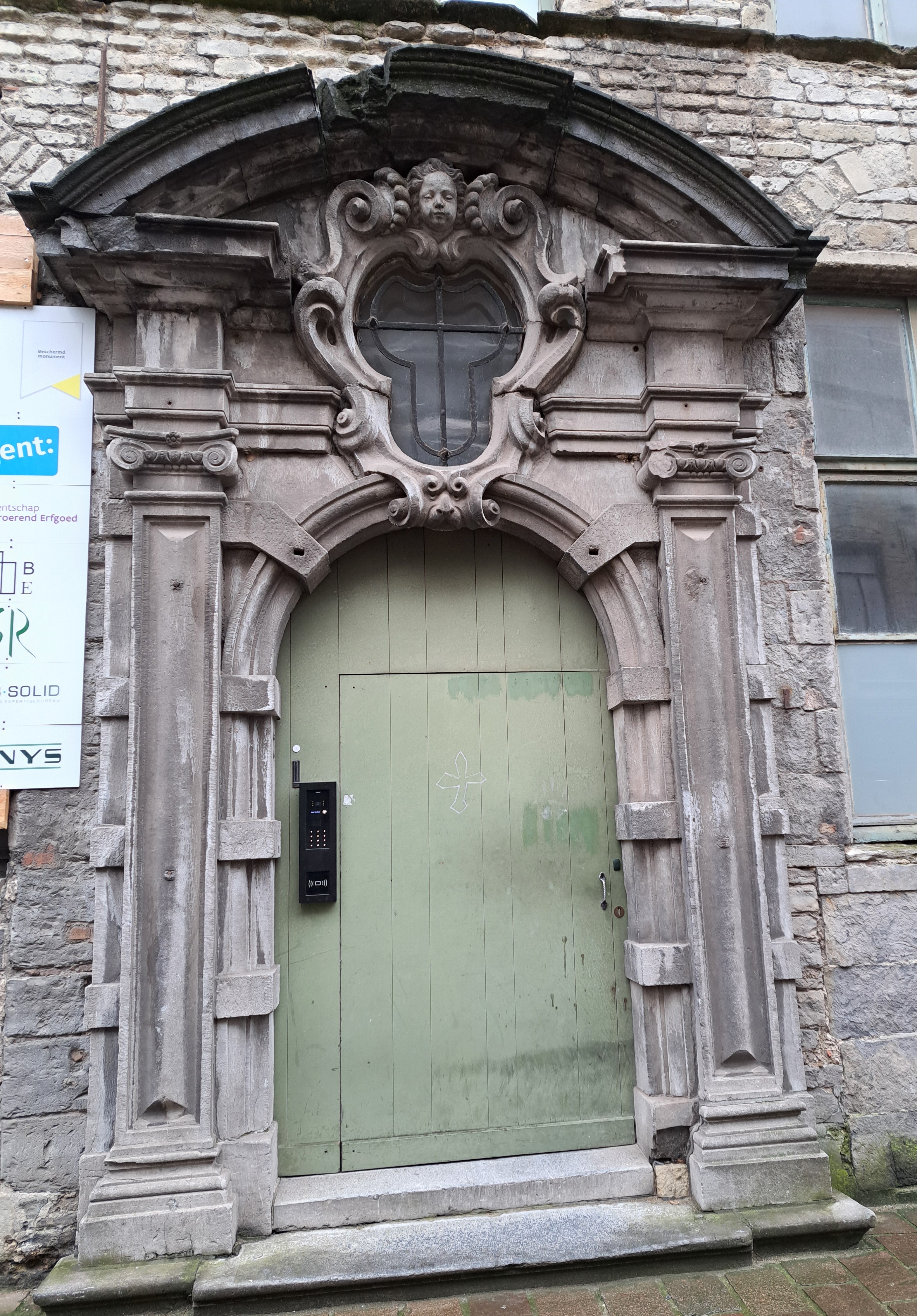
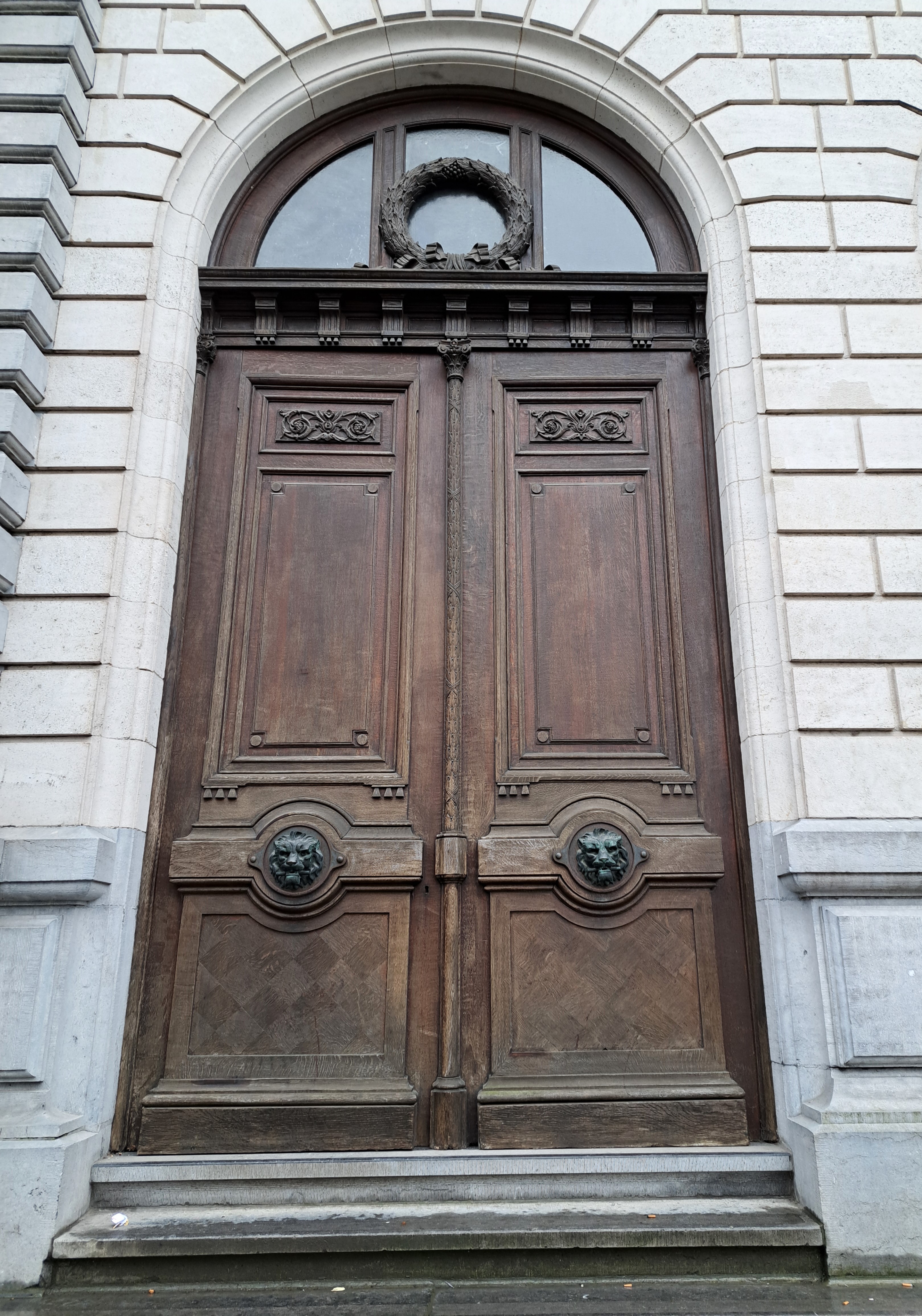
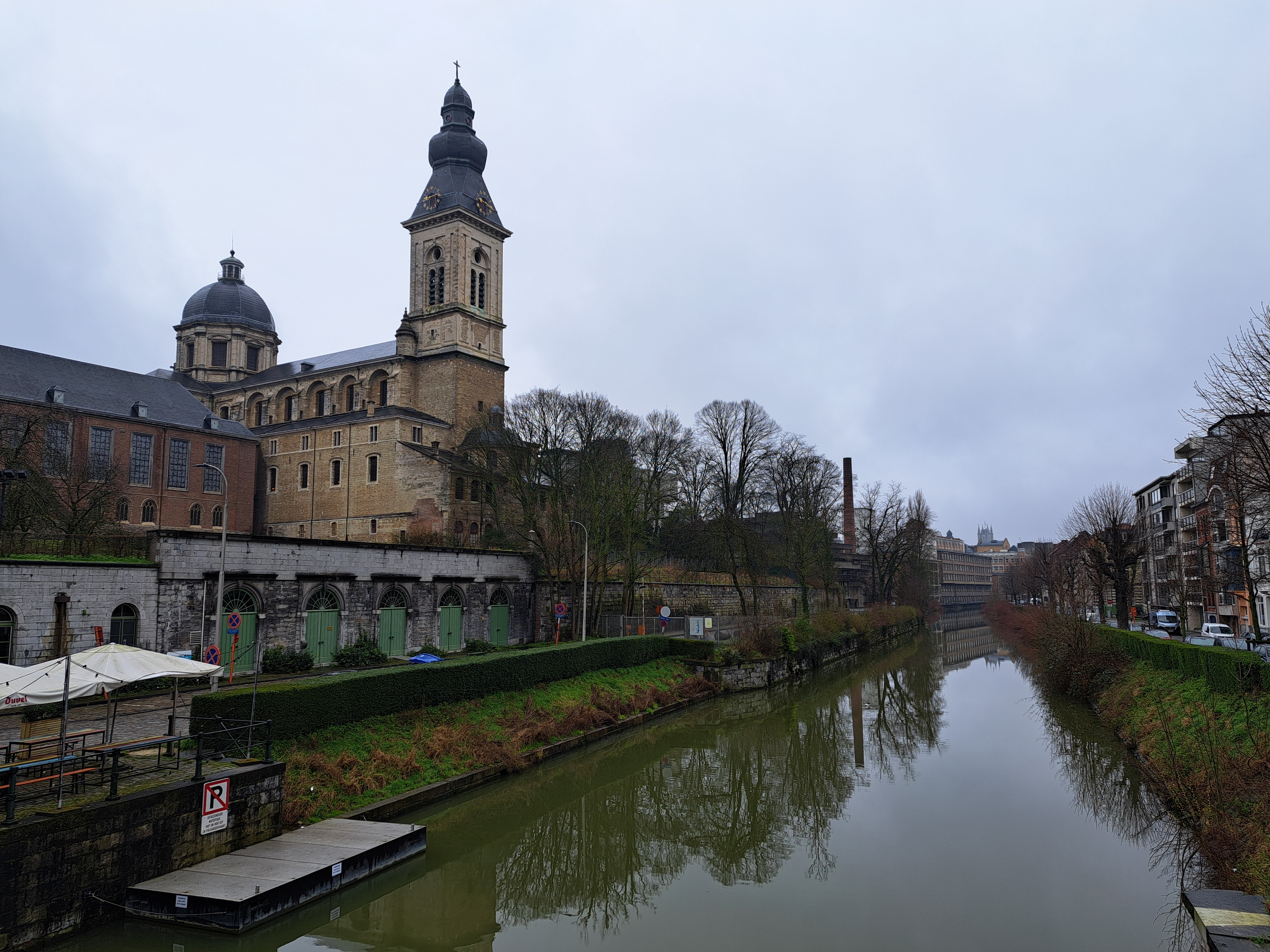
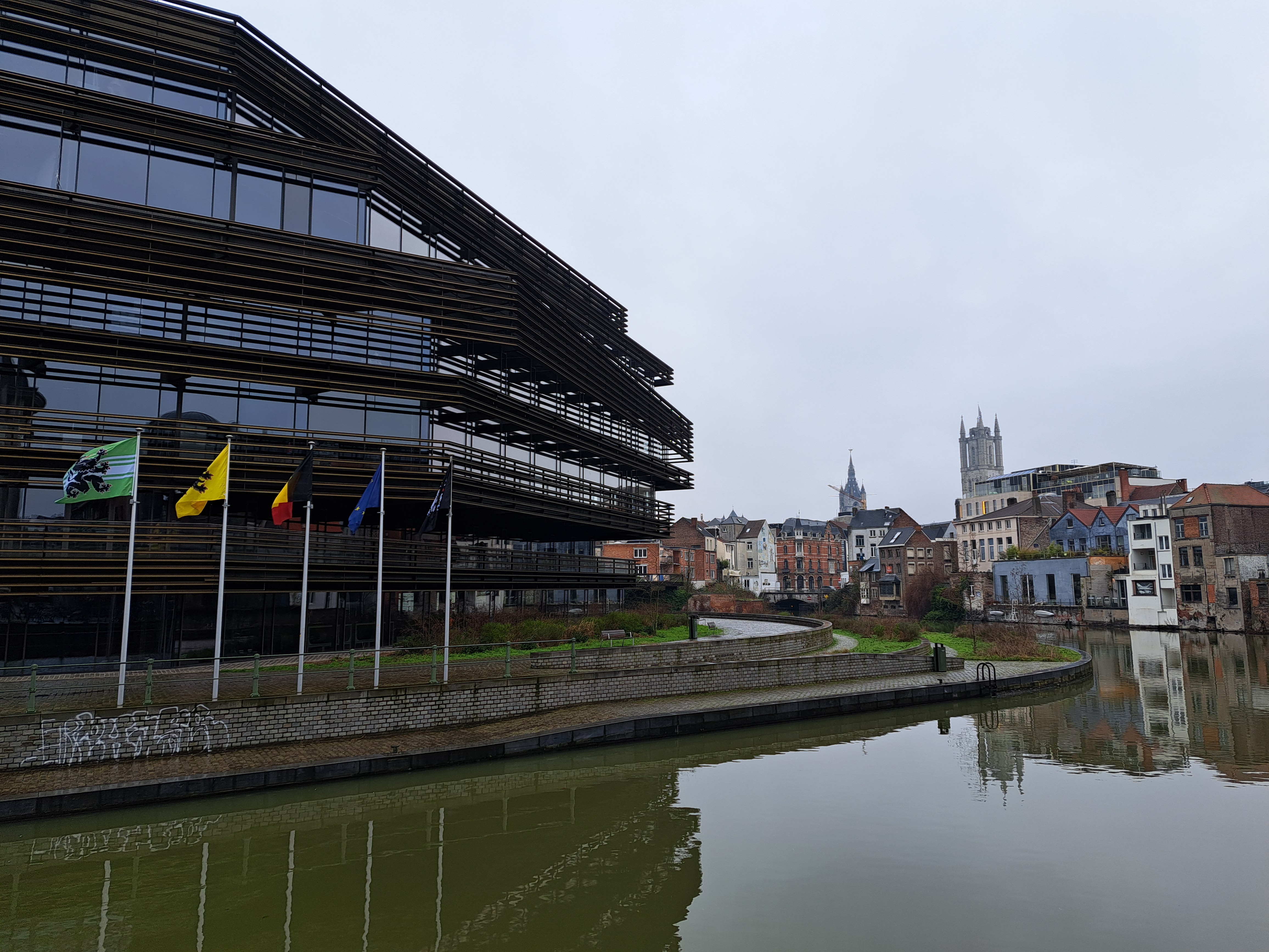
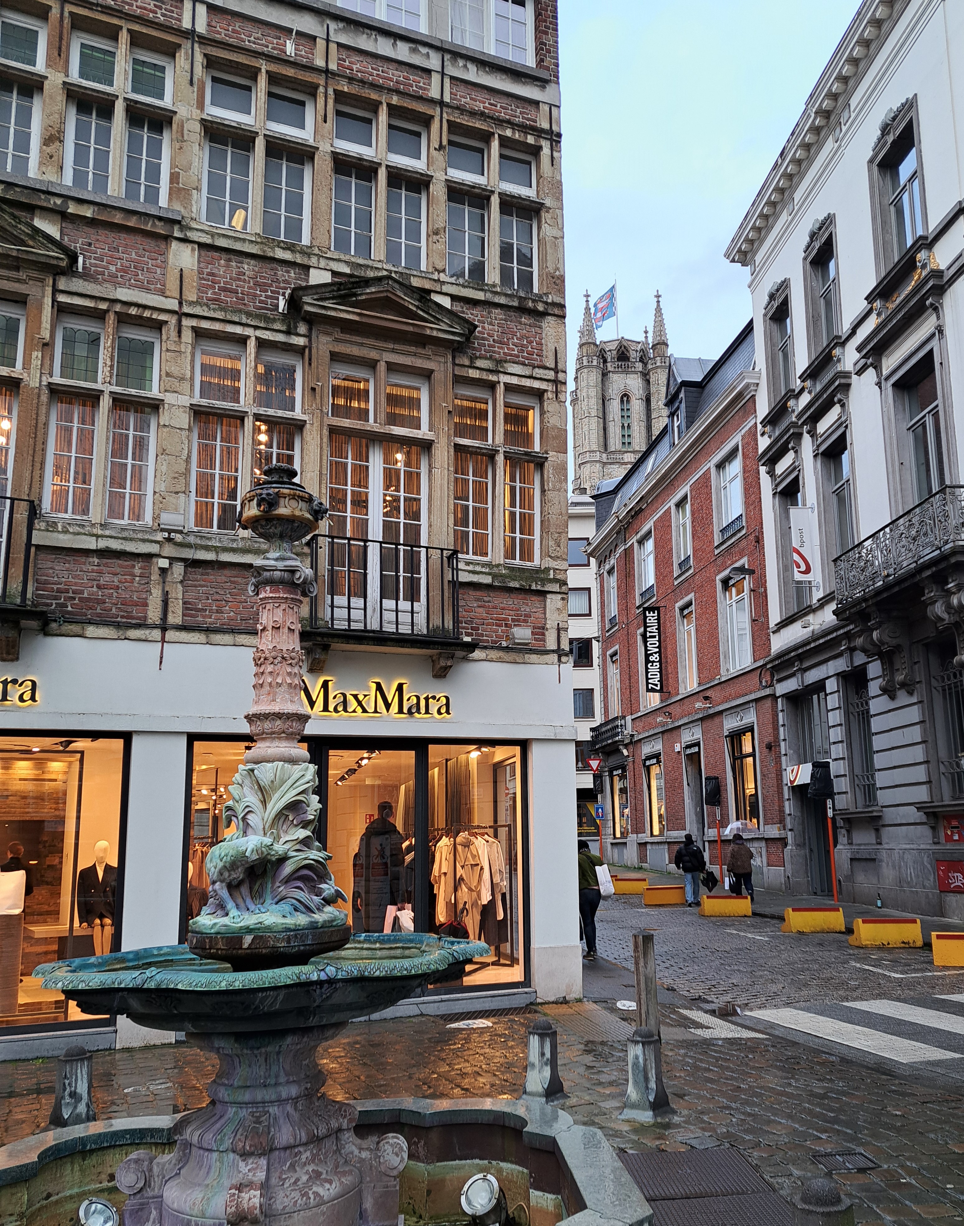
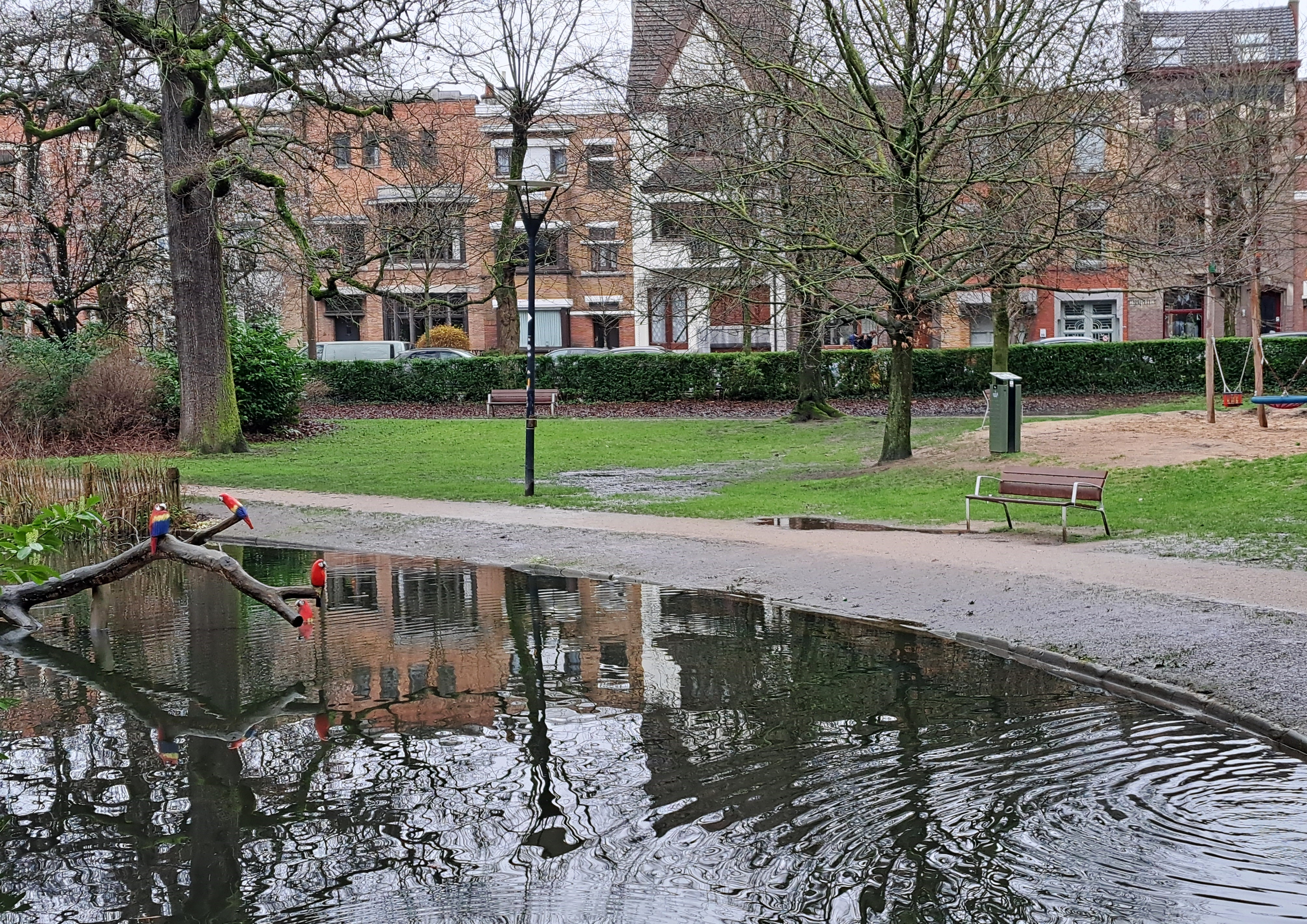
I wandered through a lovely string of parks our first morning in Ghent, as Steve slept off some of his jet lag. He’d commented that the countryside looked mighty wet from the airplane as he approached Amsterdam; I explained that it had rained every day between about October and January, not always a lot but really (or nearly) every single day. By his arrival, the rain had reduced in frequency and volume, but as you’ll below, mud and standing water were everywhere. On the bright side, when I first approached this pond, I thought those were a real flock of naturalized parrots but in fact they’re colorful wooden parrots perched there to appeal to the children who’d be playing here on a clearer day no doubt.
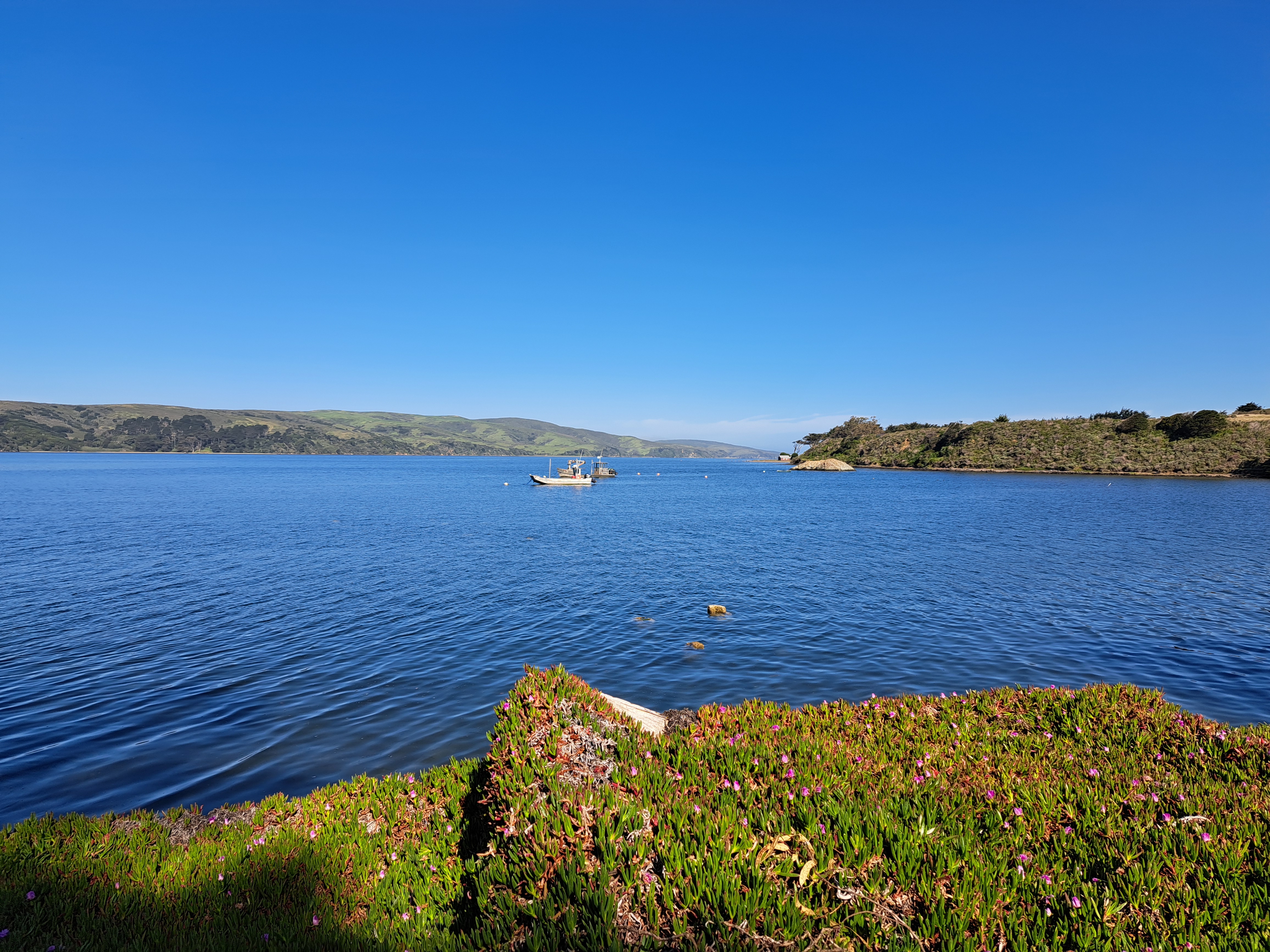
Tomales Bay, with Point Reyes Peninsula on the other side and its mouth to Bodega Bay to the right in the second photo below. For those who don’t know the region: the San Andreas Fault runs right down the middle of this bay, and the peninsula is measurably moving away from the shore from which I took the photo by inches each year. 🙂
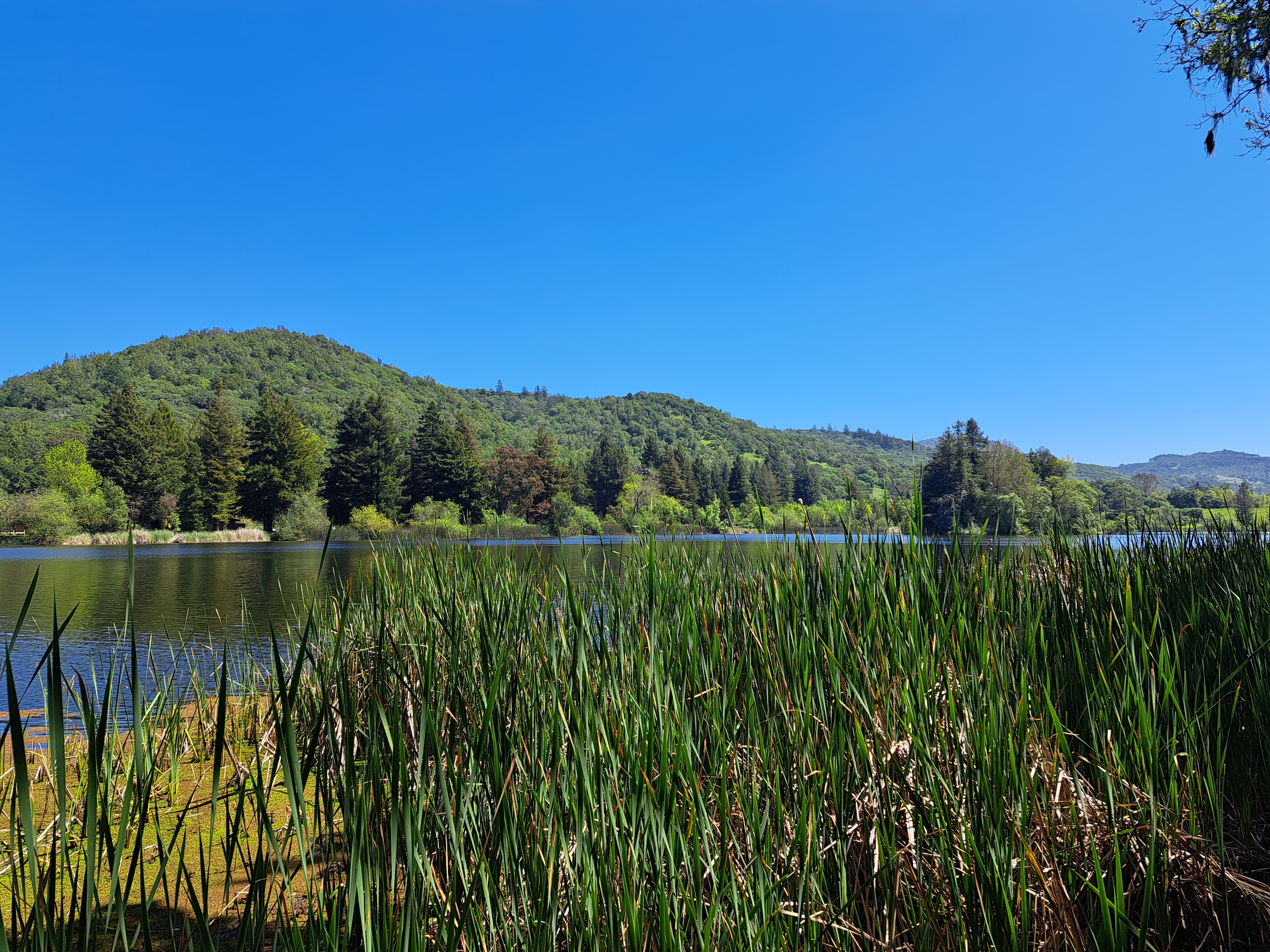
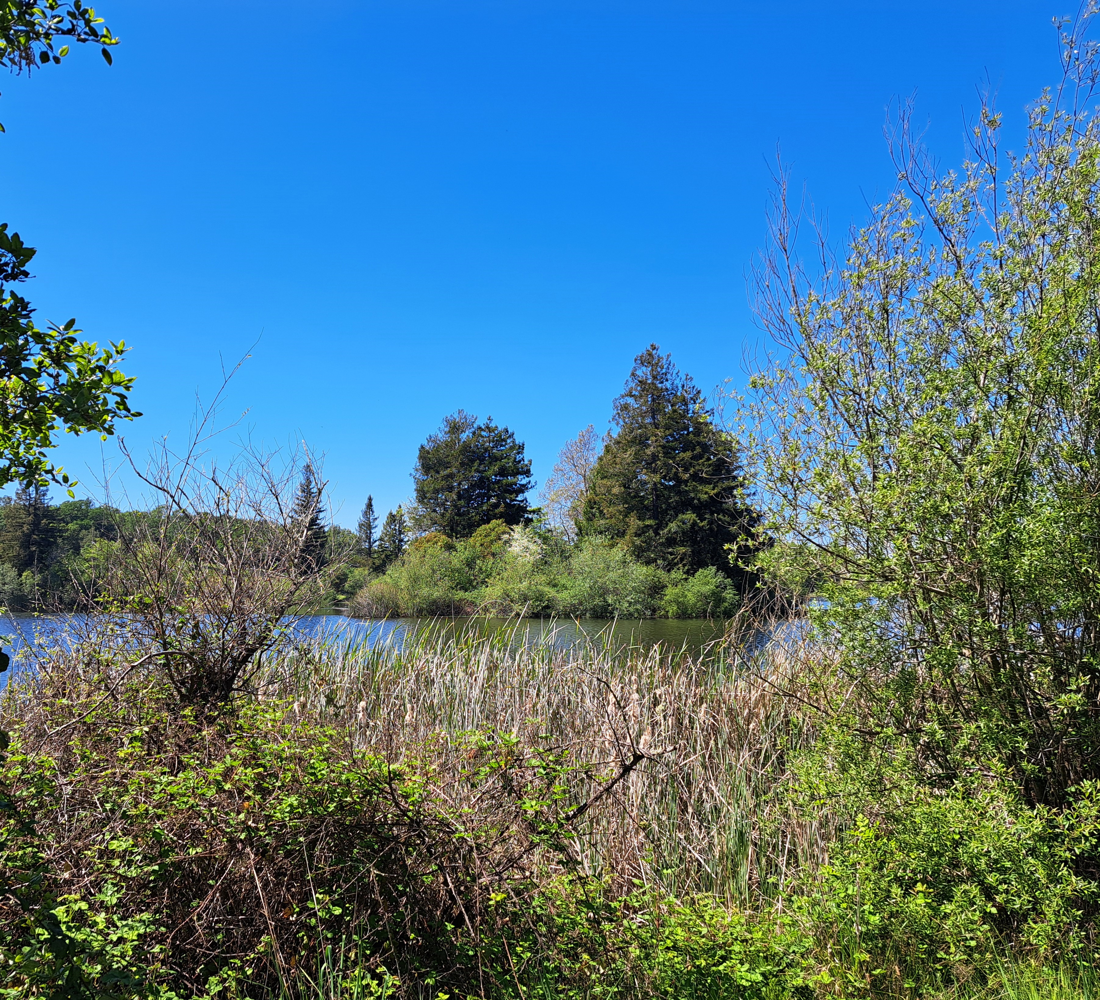
So yes, there’s actually an island in this photo, which you can see more clearly and easily from the other side of the lake, in the photo below :-). (Above, look for the taller pines that seem to grow from closer to or in the lake – yep, that’s the island.) The joy of my various series are that they help me see things in new ways – this is Spring Lake right near the apartment I lived in when I was in Santa Rosa, and despite many bike rides and afternoons reading on benches along its shores, I’m not sure I ever noticed the little island before!
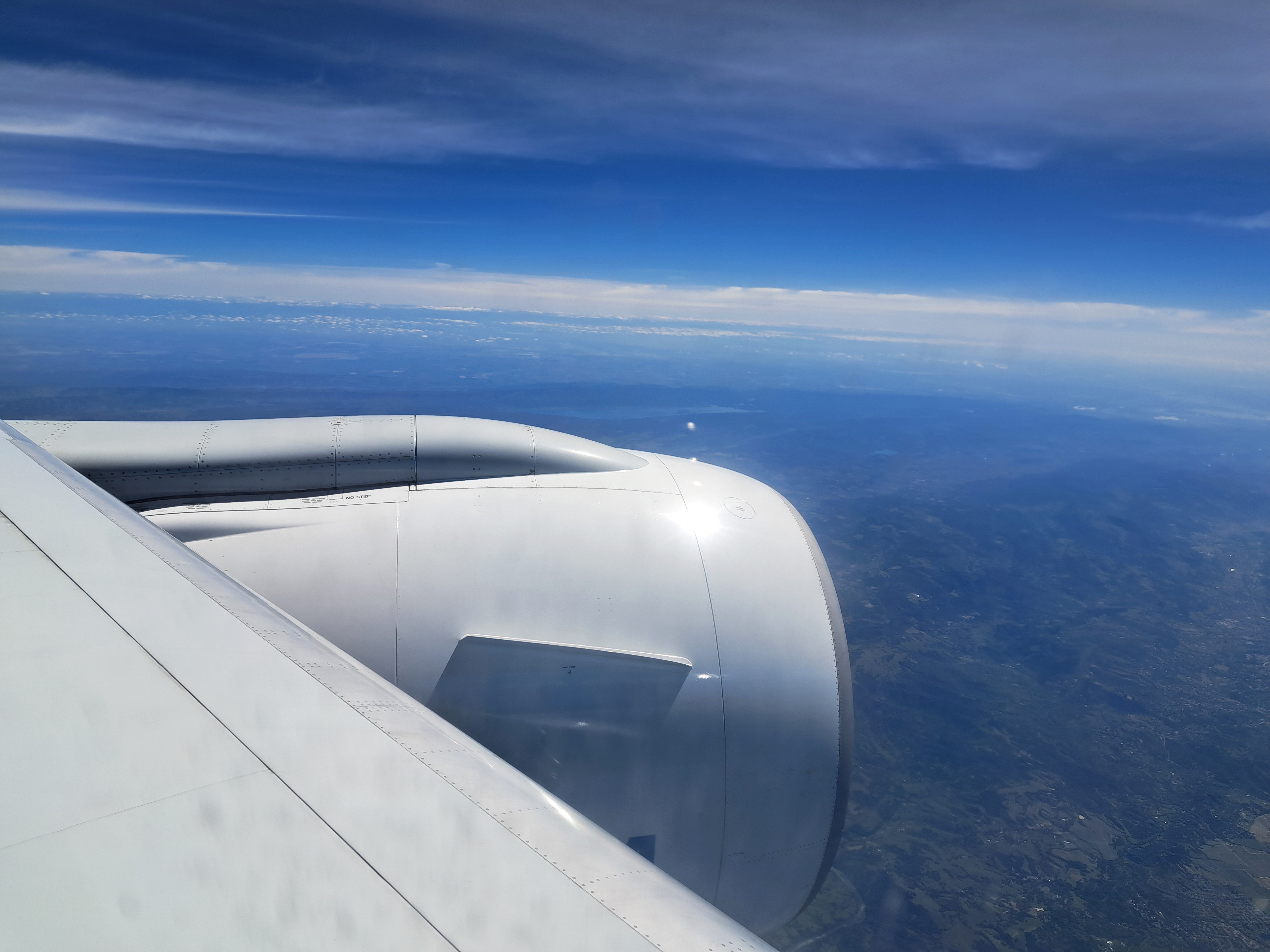
Bottom right corner here in Mt Tamalpais and Marin County; right middle you can see the Golden Gate Bridge and SF. I’m reasonably confident that in addition to the clouds, you can also see a few lines of snow-capped Sierra Nevada mountain ranges in the middle below the couds. I’m even more confident that there are snow-capped Sierras in the distance of the photo below, which also shows Clear Lake to the north and west of my old Sonoma County home, once the skies below our plane had cleared enough for me to take photos as we approached SF nearly two weeks ago.


 I wandered through a lovely string of parks our first morning in Ghent, as Steve slept off some of his jet lag. He’d commented that the countryside looked mighty wet from the airplane as he approached Amsterdam; I explained that it had rained every day between about October and January, not always a lot but really (or nearly) every single day. By his arrival, the rain had reduced in frequency and volume, but as you’ll below, mud and standing water were everywhere. On the bright side, when I first approached this pond, I thought those were a real flock of naturalized parrots but in fact they’re colorful wooden parrots perched there to appeal to the children who’d be playing here on a clearer day no doubt.