


Annadel, Needing Rain :-)


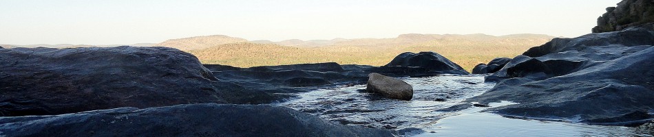
 This post shows you some of the trails and views of my neighborhood state park, Annadel. All the shots were taken on two hikes, a week apart – the same two hikes from which came that comparison of the rocks & gully before and after the first rains, about a week ago. The date of the hike in question is in each photo’s title (the 8th and 14th of November). Immediately below you can see a panorama of Lake Ilsanjo, which sits in a bowl fairly high near the center of the park, and then three shots of which one was taken before and the others taken after the first rain. Sorry that I didn’t take shots that allow a better comparison of water level in thelake, but you can see more green, for sure :-). That said, we had the one inch+ nearly three weeks ago, and not a drop since. Think rainy thoughts for us, please…


Beauty & The Burn.6
 See if you can identify what in this photo directly experienced one of our recent global-warming-induced wildfires 🙂


Beauty & The Burn: Fireline Recovery Comparisons


Yes, those two photos were taken only six days apart: on the left, after six days in

which more than an inch of rain fell on the rocks in that gully. Yes, it’s the exact same gully and the rocks are the exact same rocks. It was right on the fire line three years ago when the Nuns fire burned up from the south, and threatened to meet the Tubbs fire which was burning down from the north. I’ve been chronicling this gully, and the specific rock below, since this portion of Annadel reopened a few weeks after the fire’s forward progress was halted here. You can see these rocks and their various dry and wet season states in many previous posts, including this post with sequential study of the rock shown just below https://somuchworldsolittletime.com/2018/02/07/marred-scarred-marvelous-mountains-of-sonoma-county/
County Views Special: Mt St Helena

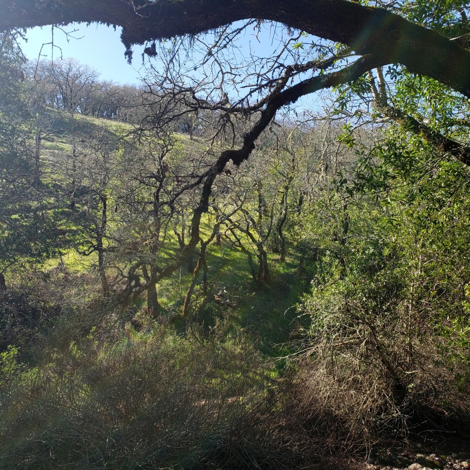
Consider this something like a special edition of Beauty & The Burn, and County Views combined. People who’ve heard of our region’s wine country are most likely to know the name Napa, and possibly the name Sonoma. Before 2017, folks mostly thought of this region for its wines, if they thought of it at all. Since then, well, you know we’ve had more and bigger fires than anyone had seen in recorded history thanks to, you guessed it, climate change and our greedy society’s stubborn inability to reimagine life without the burning of fossil fuels. Locally, when we meet someone new and they say they’re from xx or yy location, it’s reasonably common to ask – when relevant given where they live – “did you and your family do ok in the Glass / Nunns / Tubbs / Walbridge fire?”
The most recent of those four was the Glass Fire, which started on the Napa County side of the (twice-burned) ridge you see above, then burned its destructive way over onto the Sonoma County side. The fire crews worked hard to keep it from burning all of Mt St Helena. You can see this dramatic mountain in every picture in this post. It’s the core of Robert Louis Stevenson State Park, has five different peaks, and straddles both Napa and Sonoma Counties as well as Lake County, at the point where all three counties meet. Its highest peak is also the highest point in Sonoma County at 4,342 feet above sea level; another of its peaks is the highest point in Napa County. Once I get far enough away from our local ridge (in which the highest point is Mt Hood at 2730 feet above sea level) to see past it, Mt St Helena’s profile is quite visible. In case you didn’t guess, it’s volcanic in origin although it’s not an actual volcano, just uplifted rocks from a 2.4-million-year-old volcanic field.


