Indeed, right inside the city of Amsterdam but in the lovely park I’ve been showing you since I moved to my new place last year :-). Above, looking west one evening last week and below, looking east from the same foot / bike bridge over the canal. For orientation, in the photo below, the apartment from which I’ve taken all the various photos of this lovely lovely lake would be on the far side of the lake and to the left a bit (northeast).
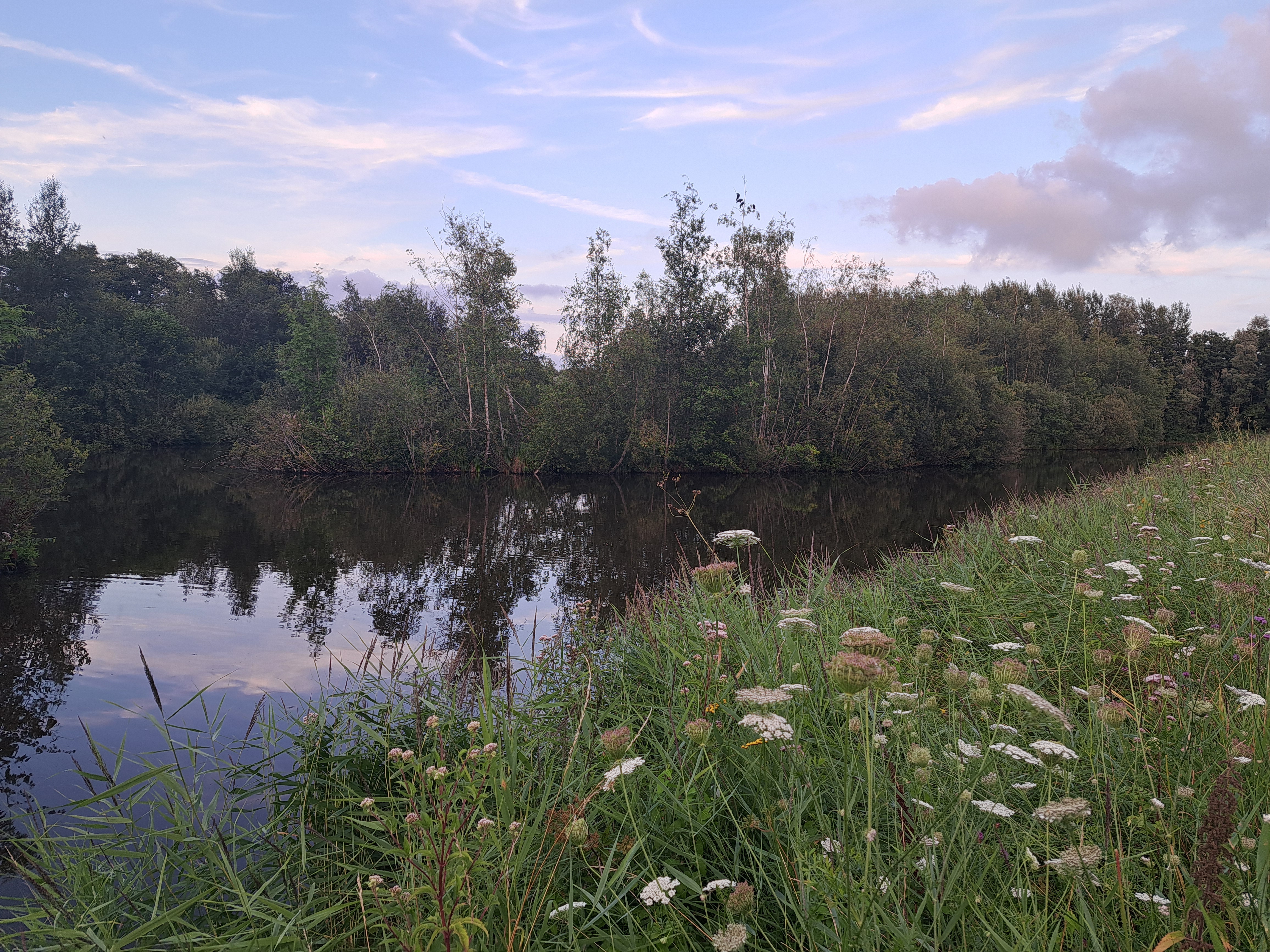
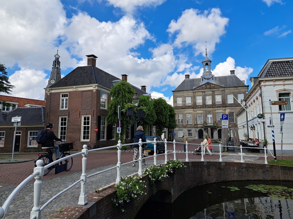
Before its residents voted to incorporate the lovely town of Weesp into the City of Amsterdam, I’m not sure I could have chosen to categorize the canals you’ll see in each of the photos in this post as “urban,” especially when you consider the lovely little images of coot parents building their nest in two of the photos below. But … a part of the city of Amsterdam Weesp now is, so here you see some of it’s “urban” canals and other delights.
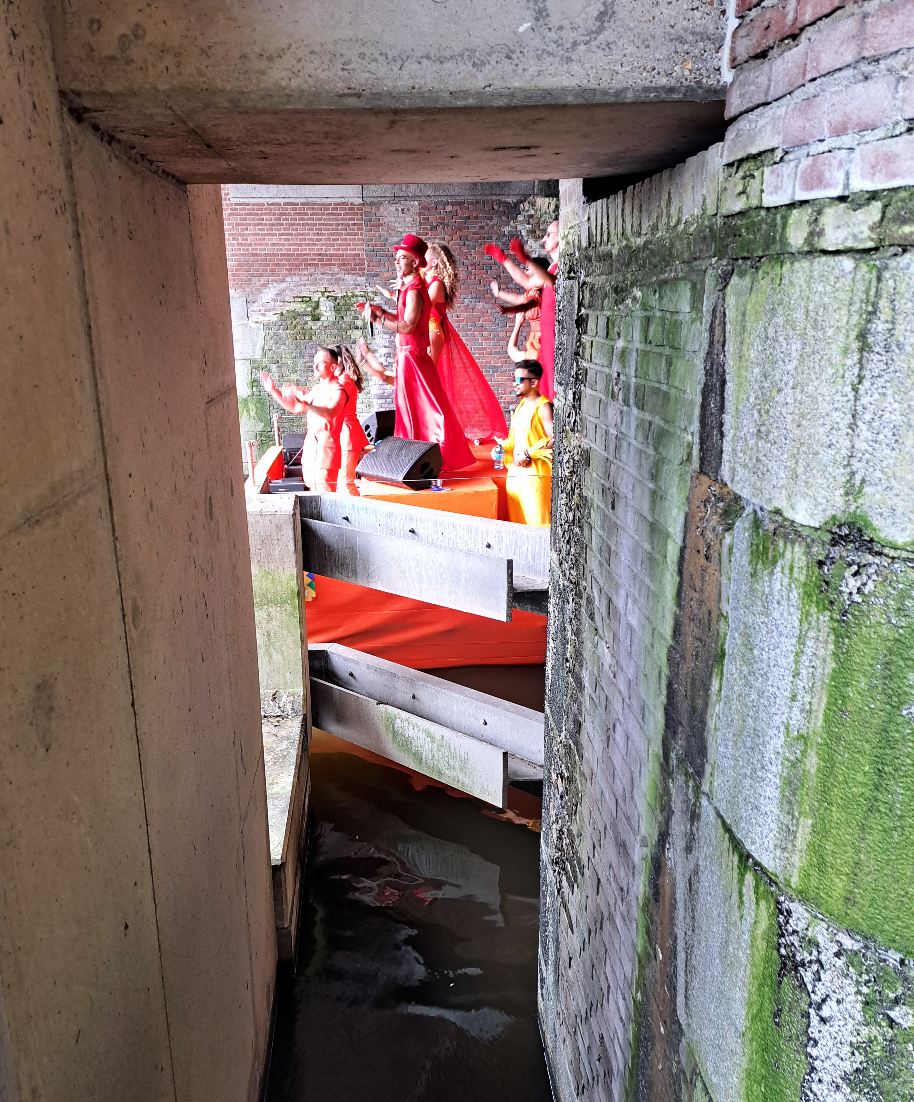
Amsterdam Pride centers around 3 weekends in late July and early August, this year with a “Pride Walk” the first weekend, this post’s featured “Pride March” the second, and the “Pride Boat Parade” the third weekend. I finally joined or observed all three this year, including the boat parade this weekend just past. So nice to live where one is legal and less fearful of physical, social or legal harm and threats.
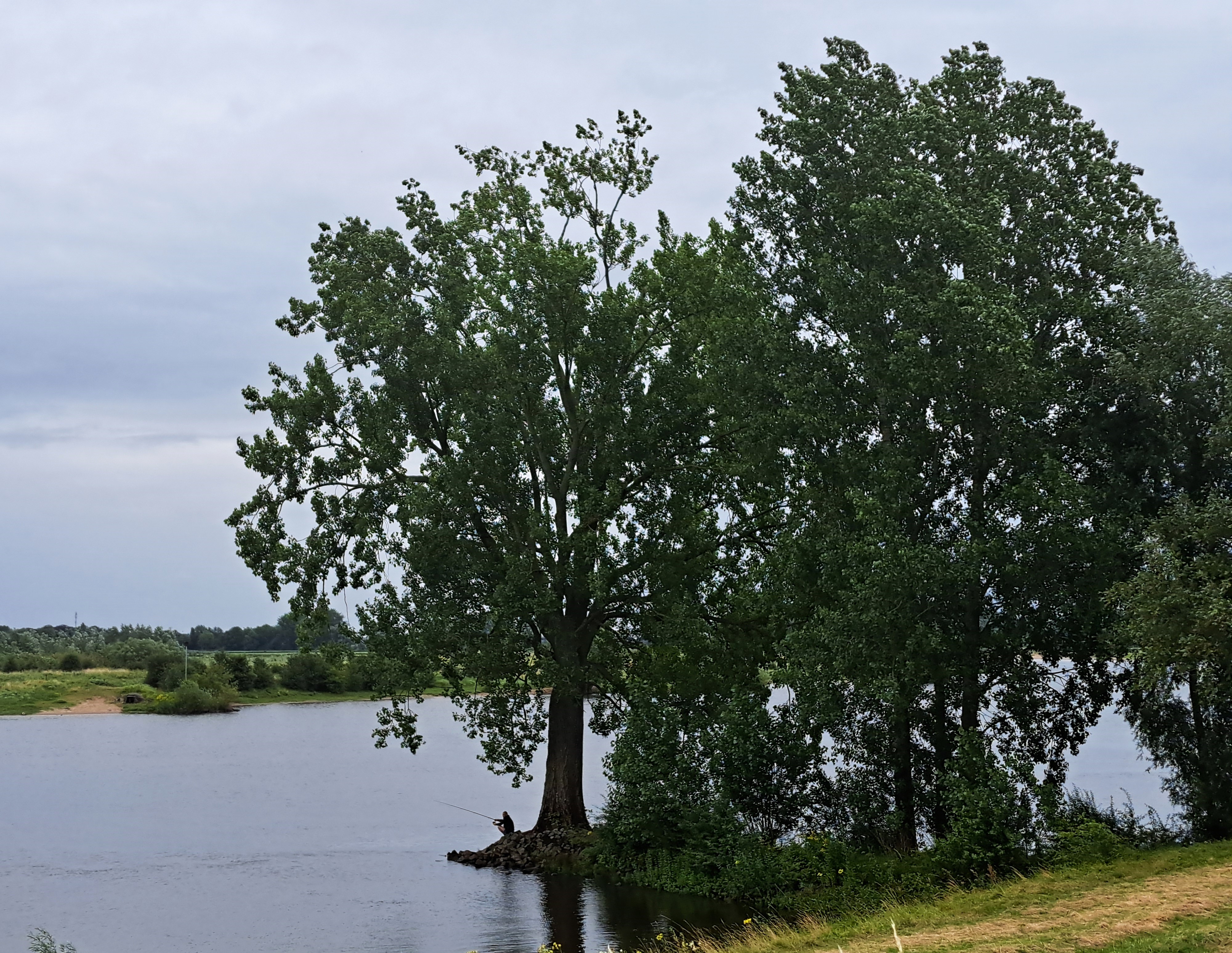
Technically this probably isn’t urban, but it’s such a busy waterway near Europe’s largest port that it feels urban. This is the view looking downstream (towards Rotterdam and the North Sea), from the bridge I biked over as noted in the prior post.
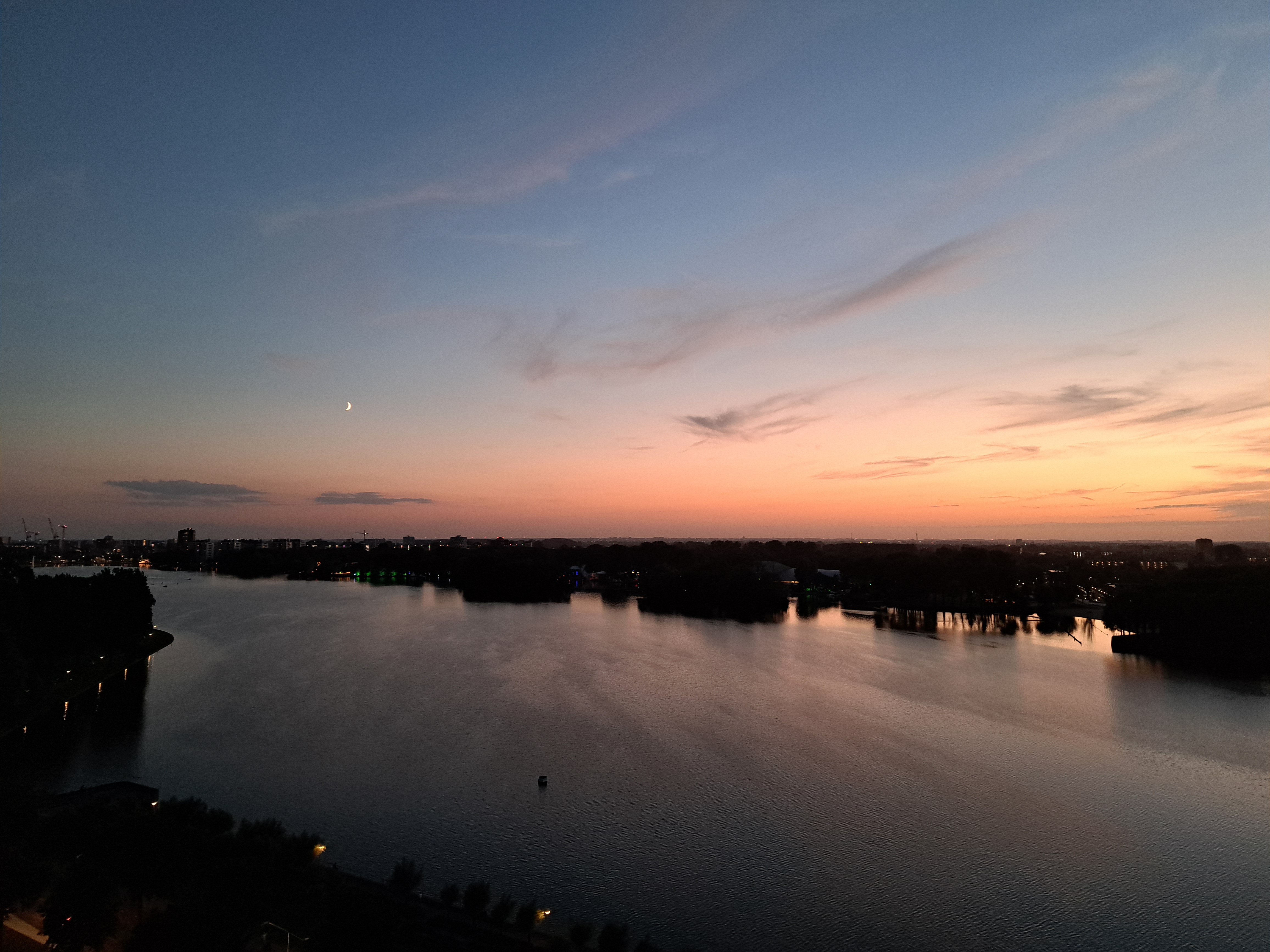
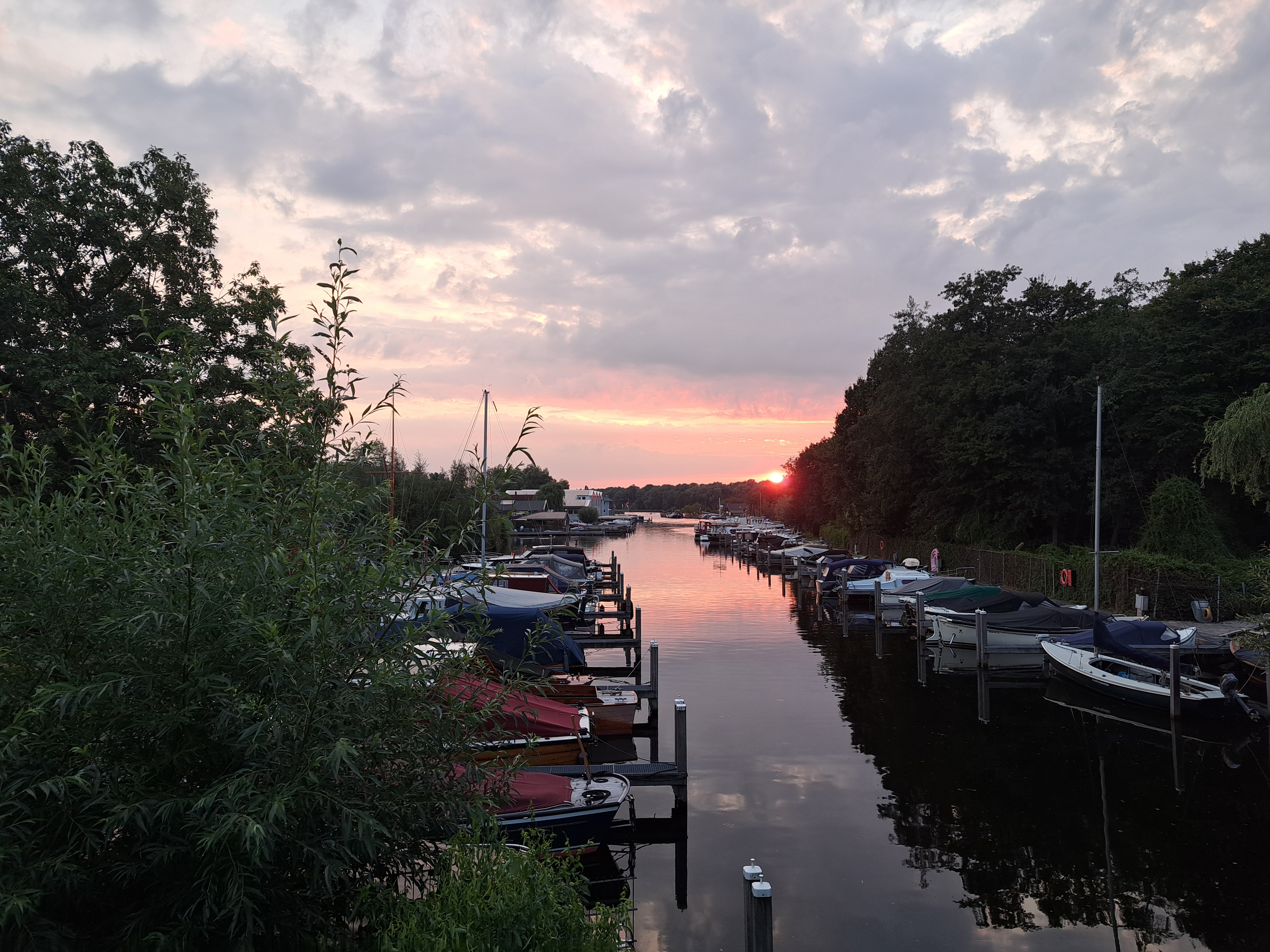
The days around the solstice brought spectactular sunsets from my apartment. This was nearly 11pm on the 22nd of June :-). I must cherish this, when we’re six months on and I’m winter-depressed again…


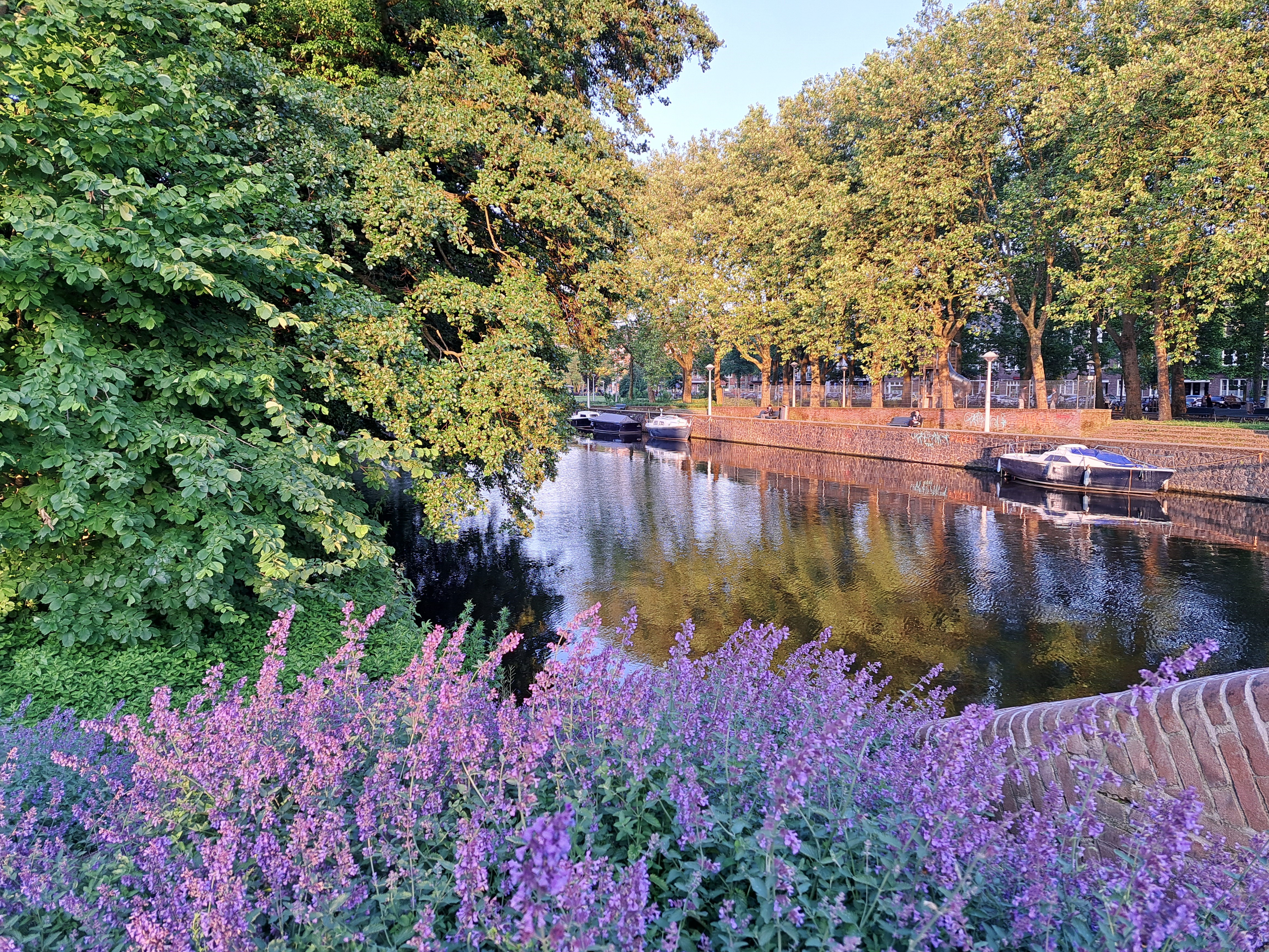
 Before its residents voted to incorporate the lovely town of Weesp into the City of Amsterdam, I’m not sure I could have chosen to categorize the canals you’ll see in each of the photos in this post as “urban,” especially when you consider the lovely little images of coot parents building their nest in two of the photos below. But … a part of the city of Amsterdam Weesp now is, so here you see some of it’s “urban” canals and other delights.