

Skylights.11

Coasting.95
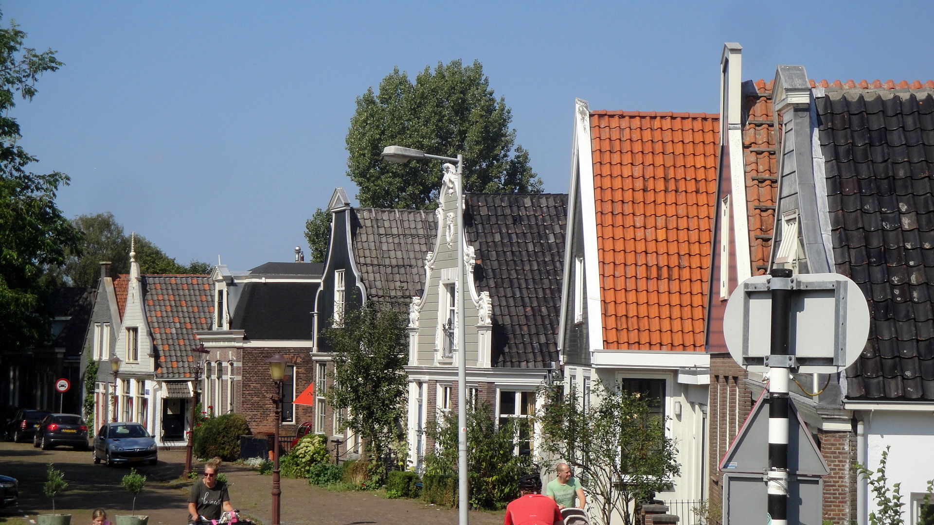
City Lights.49


Urban Canals.143
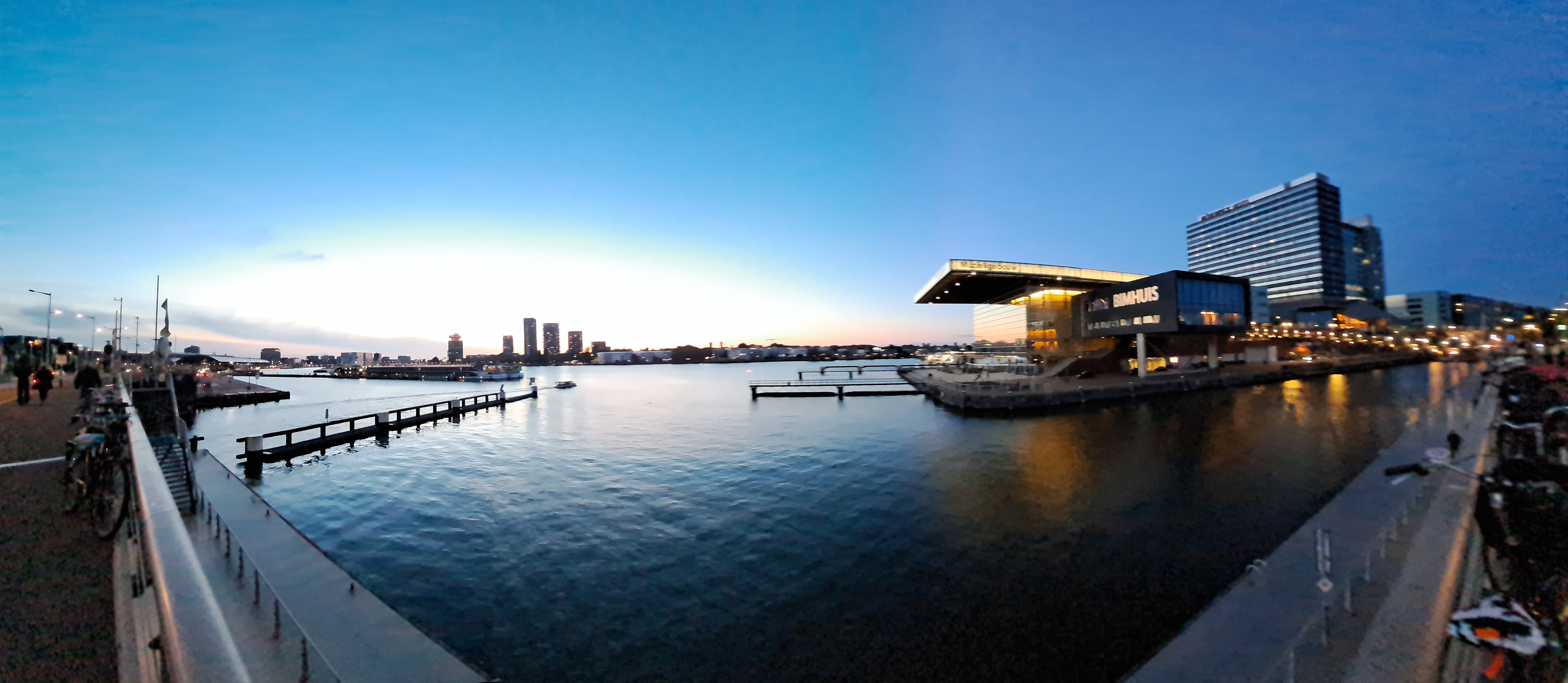
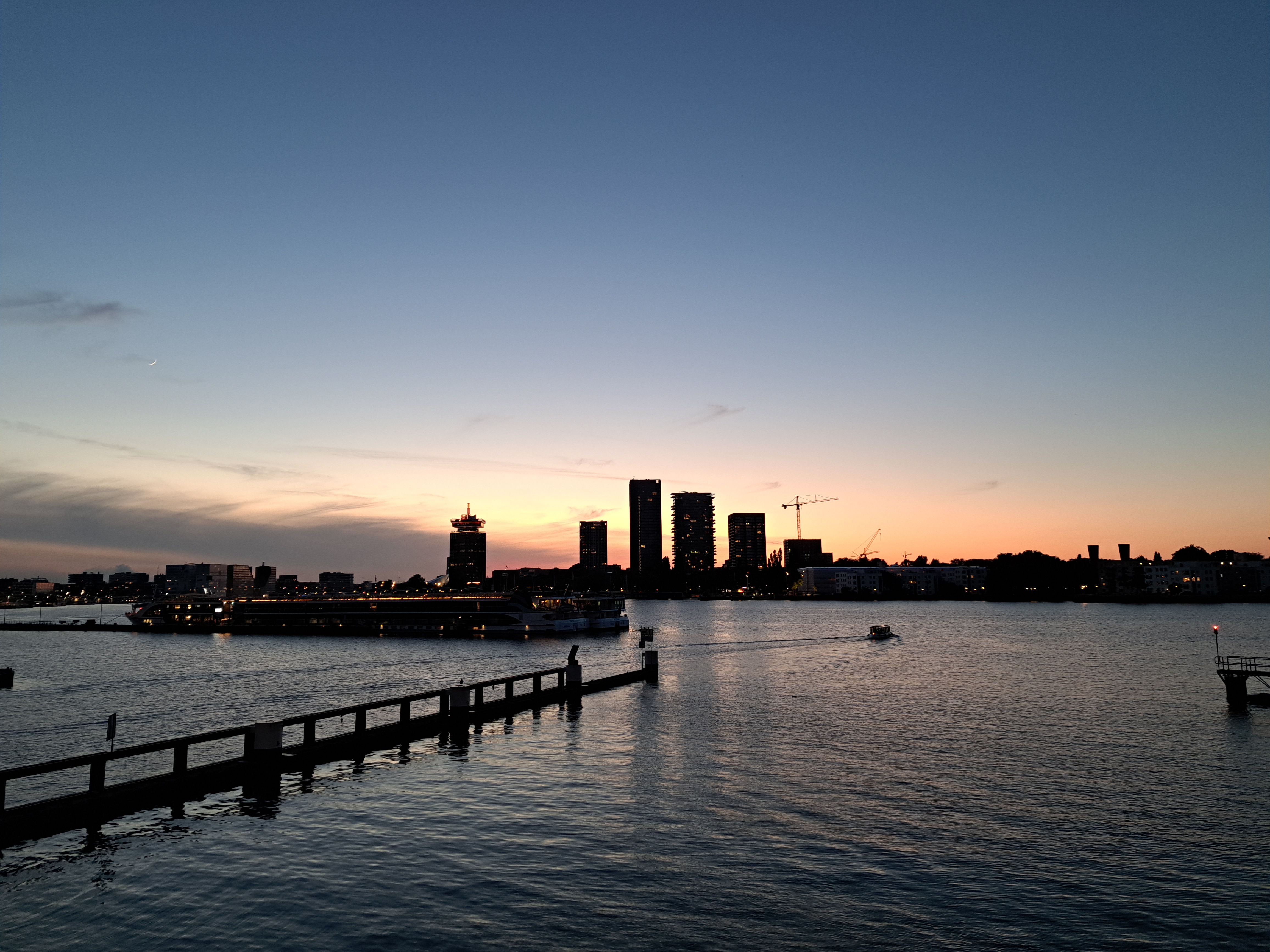
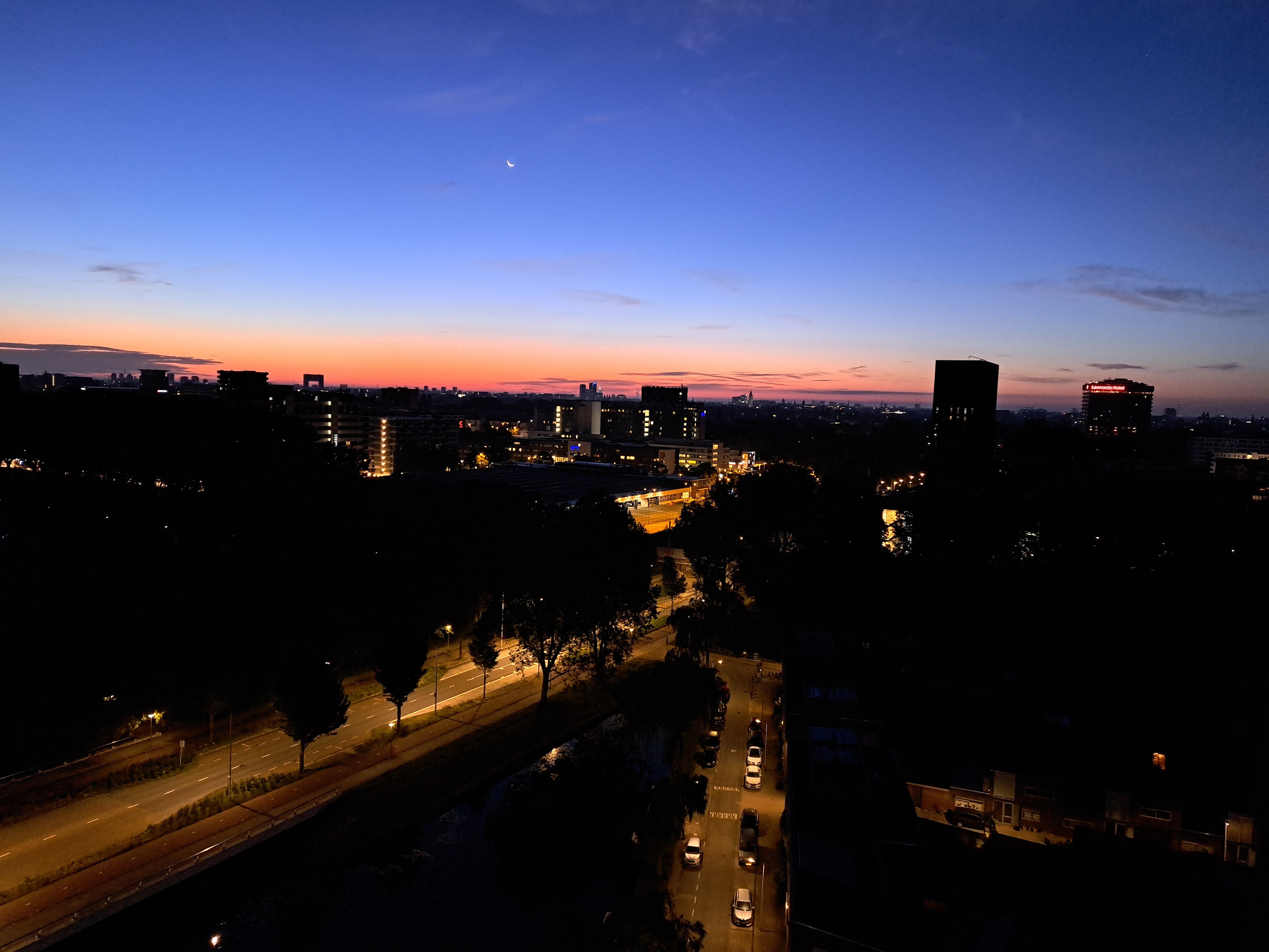
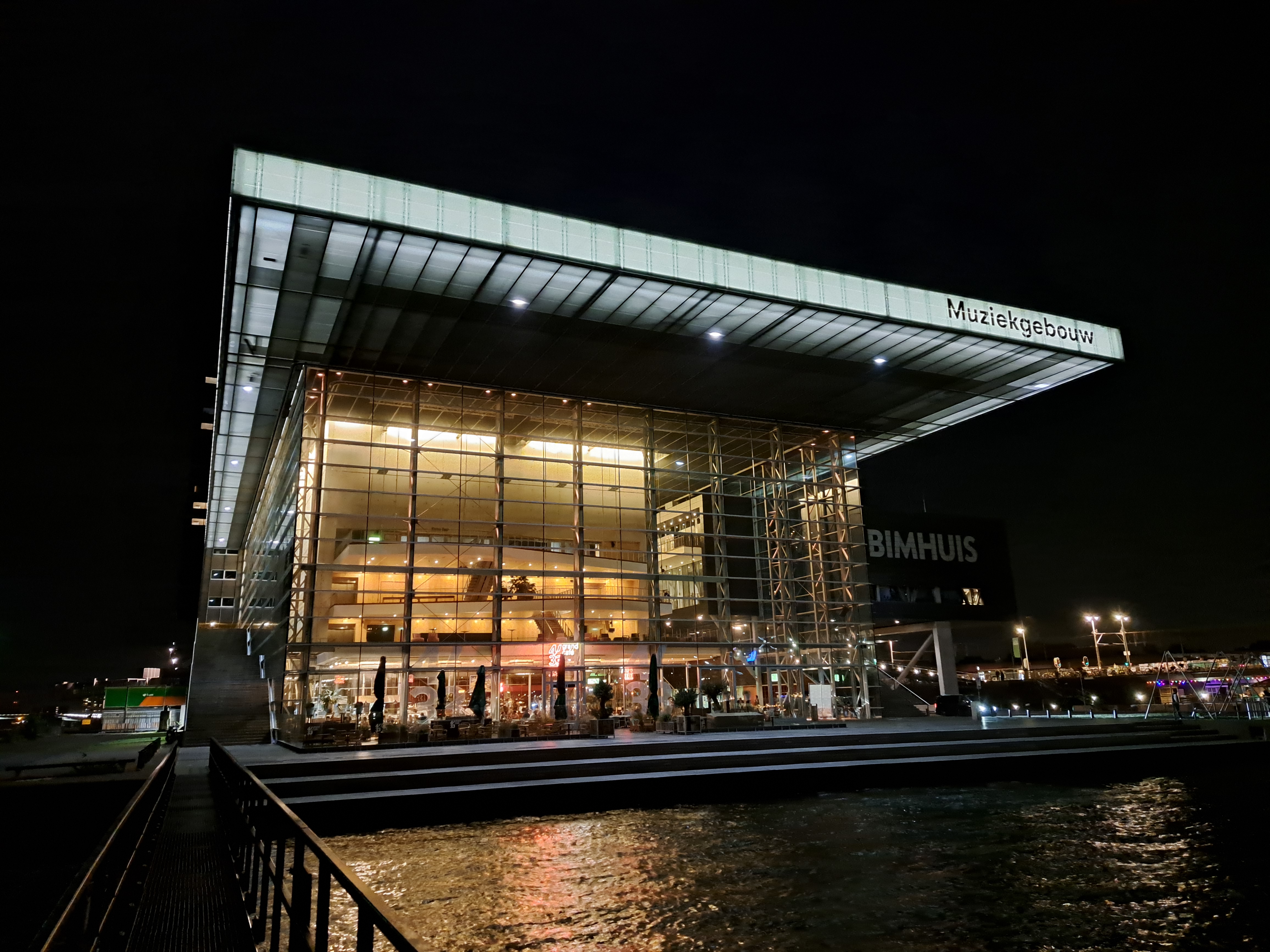
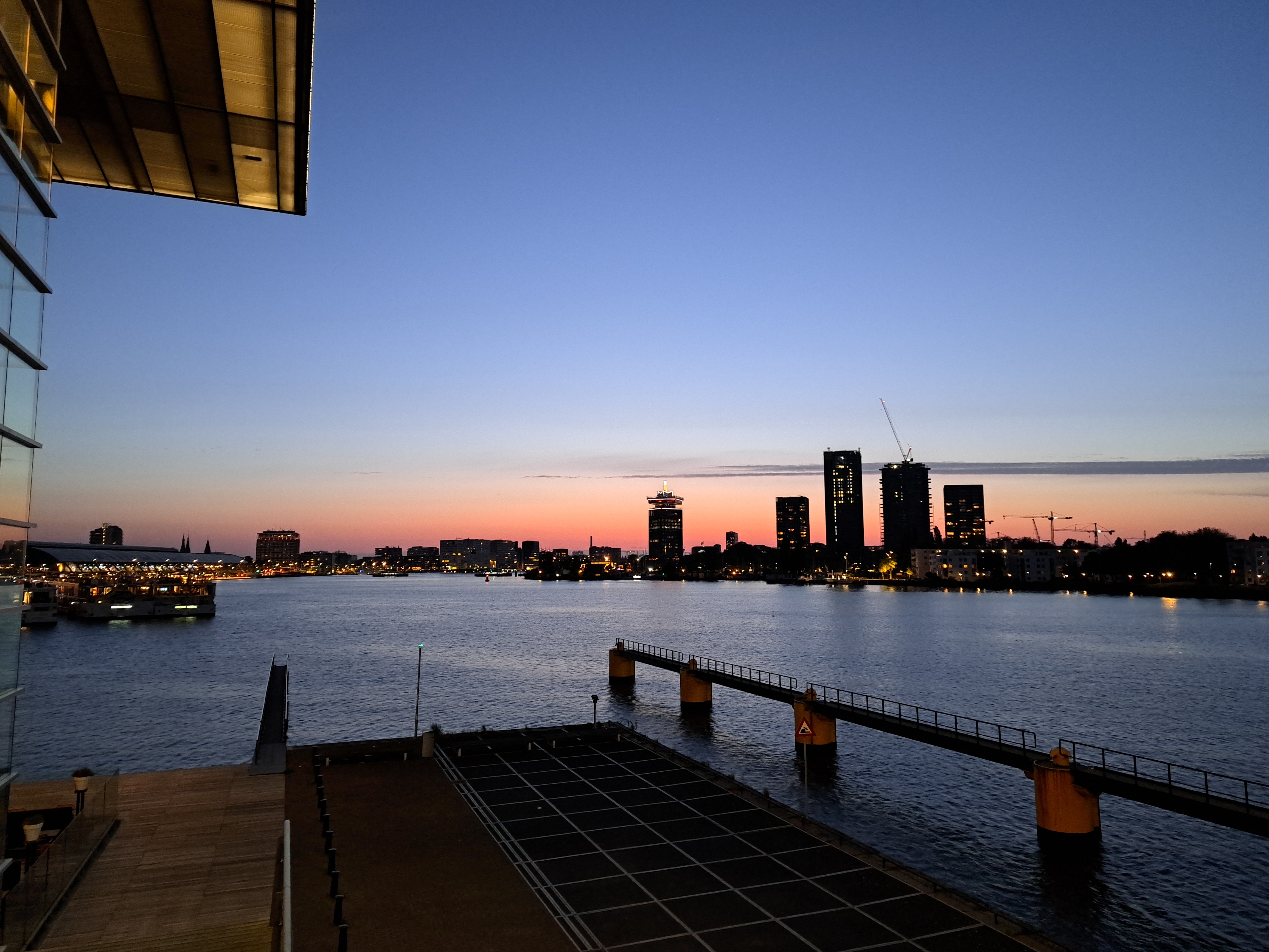
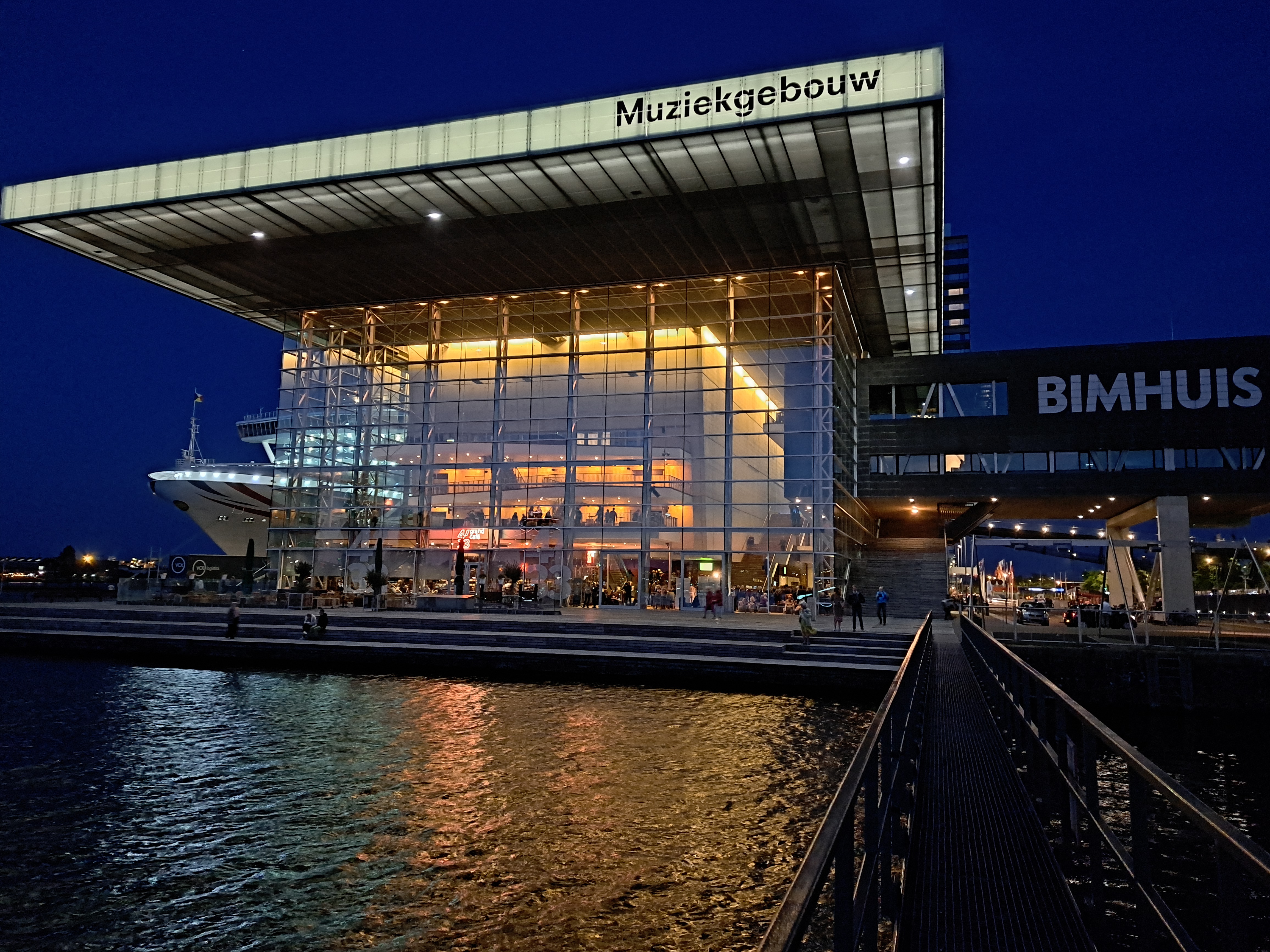
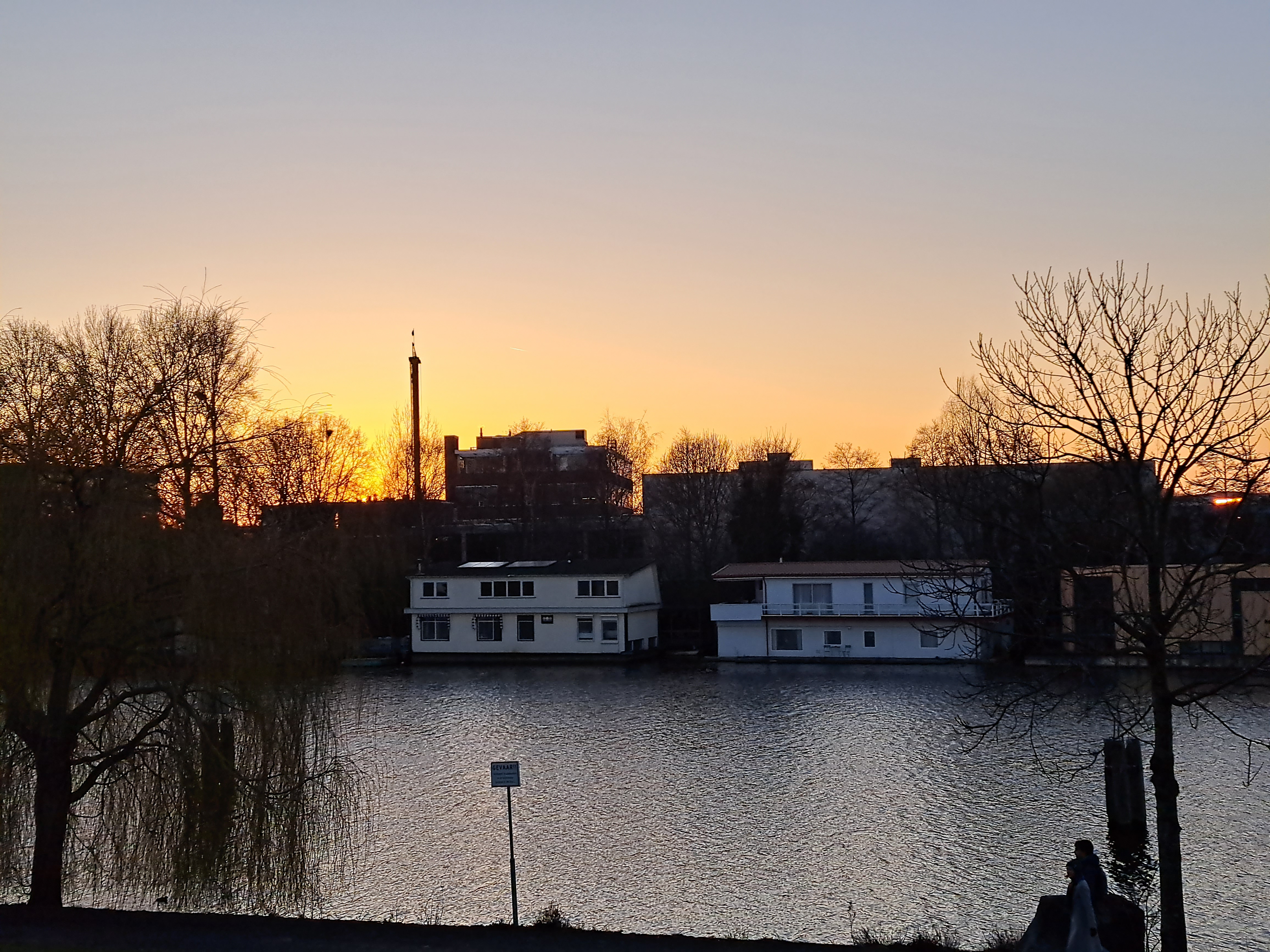 Above, a sunset photo still in my folder from March, and below the last from a lovely sunset evening concert at the Muziekgebouw up by the harbor in May.


Urban Canals.137

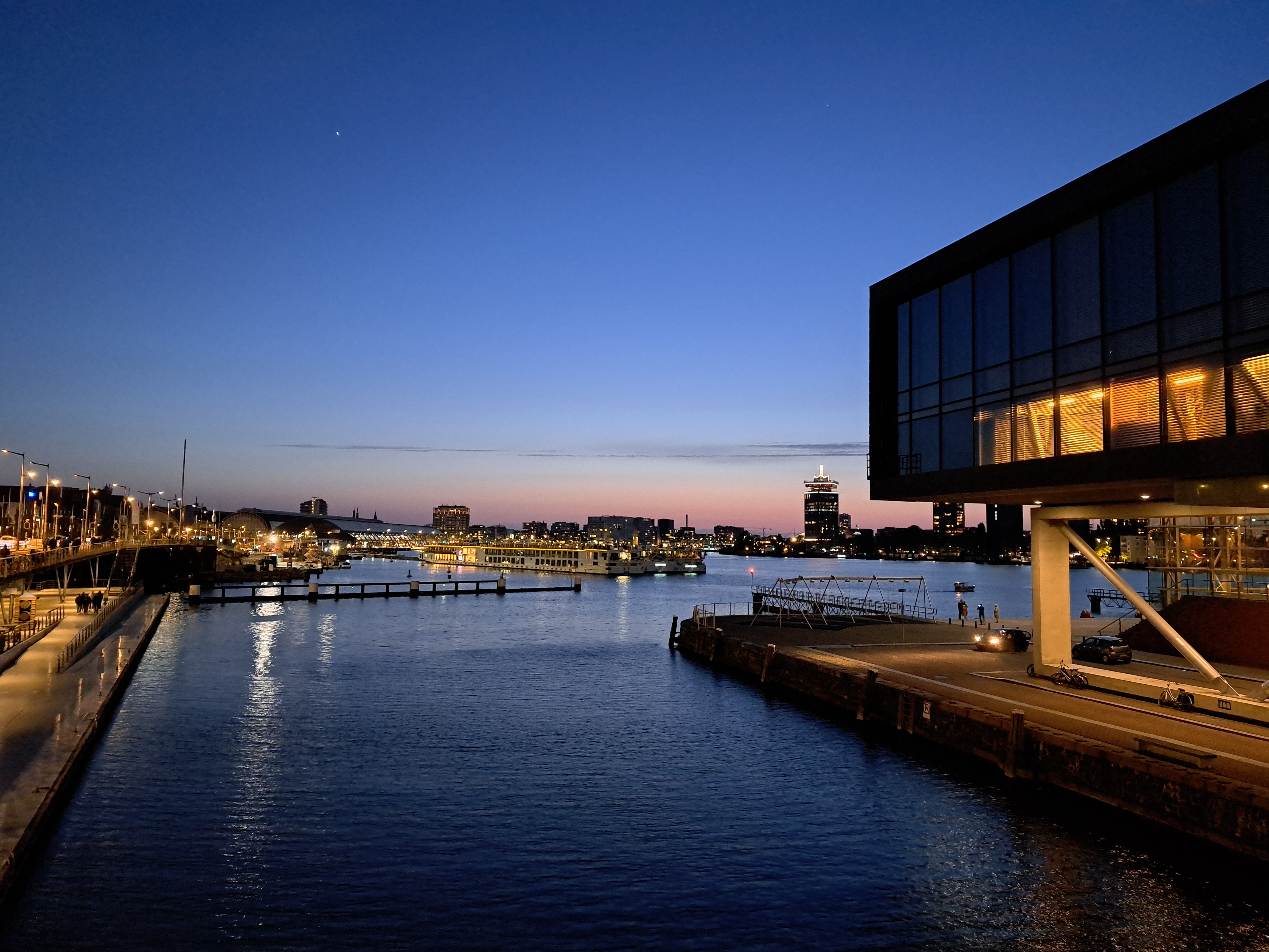
Ij, Eye, Amsterdam
(I need to apologize that this isn’t laid out as I’d wish – the great minds at wordpress have forced us all into a new “improved” editor which makes it impossible, as far as I can tell, to set fixed widths for photos other than an automatic +/- size with very limited options. Stupid, but unavoidable for the moment until either they get smarter or I find a new host. Ideas welcome.)
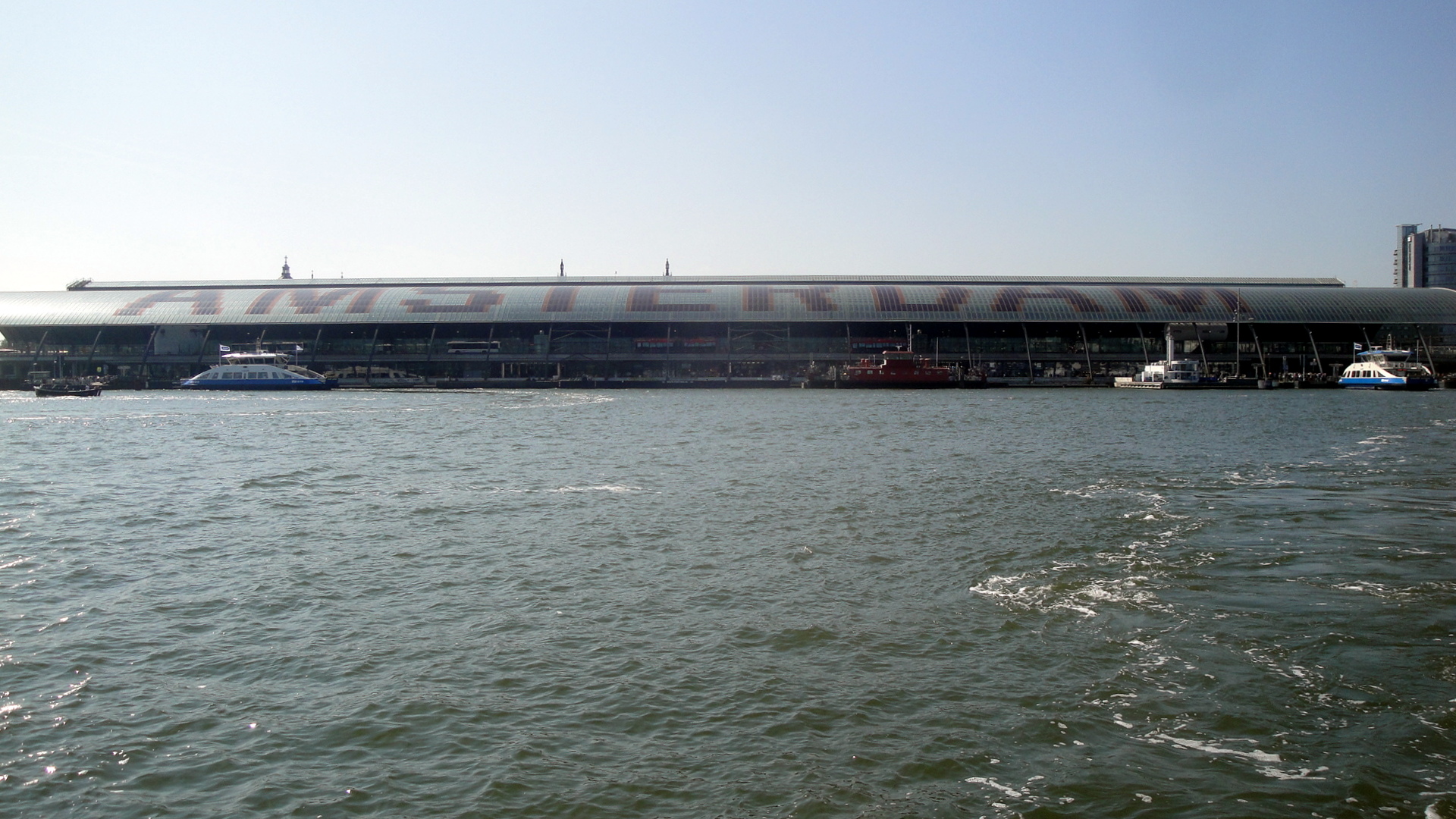
Clue for you non-Dutch-speakers out there: Ij & Eye are pronounced the same way. 🙂 Also: Ij is the name of a body of water that sits just north of the central train station in Amsterdam. It connects to Ijmeer (Ij bay?) to the east, and the town of Ijmuiden (mouths of the Ij?) to the west, and basically makes Noord-Holland (you guess, North-Holland) a peninsula. What I don’t know is what the natural state of these various bodies of water were before the industrious Dutch traders and engineers started managing the bodies of water within the territory we now know as the Kingdom of Netherlands, back whenever past generations of Dutch people decided they could makes canals and diversions, fill in land, and make it possible for one of the most densely-populated nations on earth to exist and be wealthy with about 1/3 of its territory actually sitting below sea level. (Netherlands tourism’s website tells me the lowest point is 22ft below sea level; highest a mere 1000 feet above.) My point: the Dutch have even engineered the Rhine River. I’m sure much of this was naturally-existing in the river-delta-region that links the Rhine, the Meuse and Scheldt rivers. (I mean, even the un-engineered Niger River becomes a highly complex delta without a clear main “Niger River” channel south of Port Harcourt – just check out some of past entries from the Niger Delta and you’ll see a bit of that.) But what I’m certain of, having now worked with a Dutch headquarters and many Dutch colleagues and bosses for the past decade or so, is that Dutch engineers very tidily and meticuloulsy did what they could to enhance these delta channels, acknowledging that water will flow, but doing their best to channel that flow for minimum disruption to towns, cities, trading canals, etc. The water carried by the Rhine divides not long after entering Netherlands territory, most of its water then flowing west to reach the ocean north of Rotterdam in a few different channels which — so Wikipedia tells me — can be called “distributaries.” The same source tells me that 1/9 of the water volume contained in the Rhine upon its entry into Netherlands territory ends up flowing via the IJssel branch of this distributary network into the above-mentioned IJsselmeer.
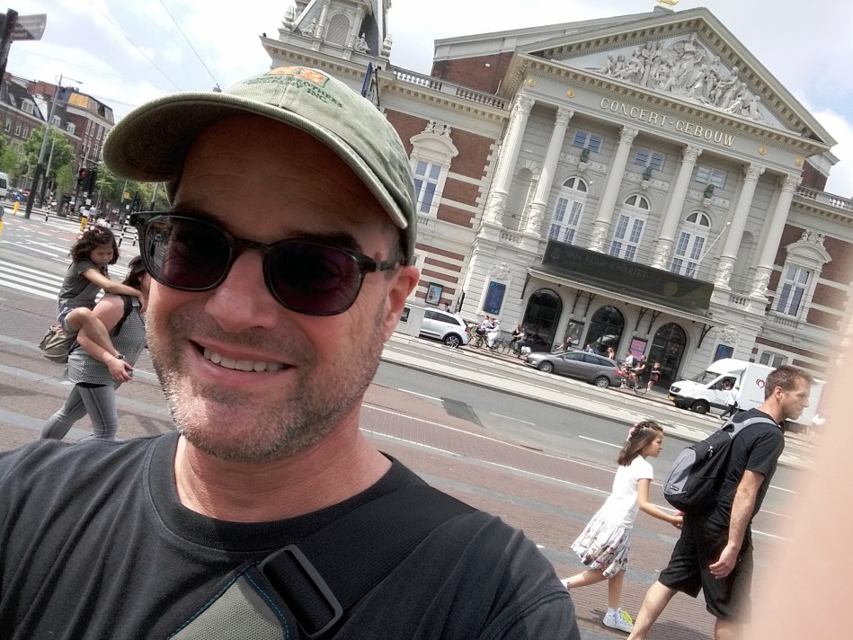
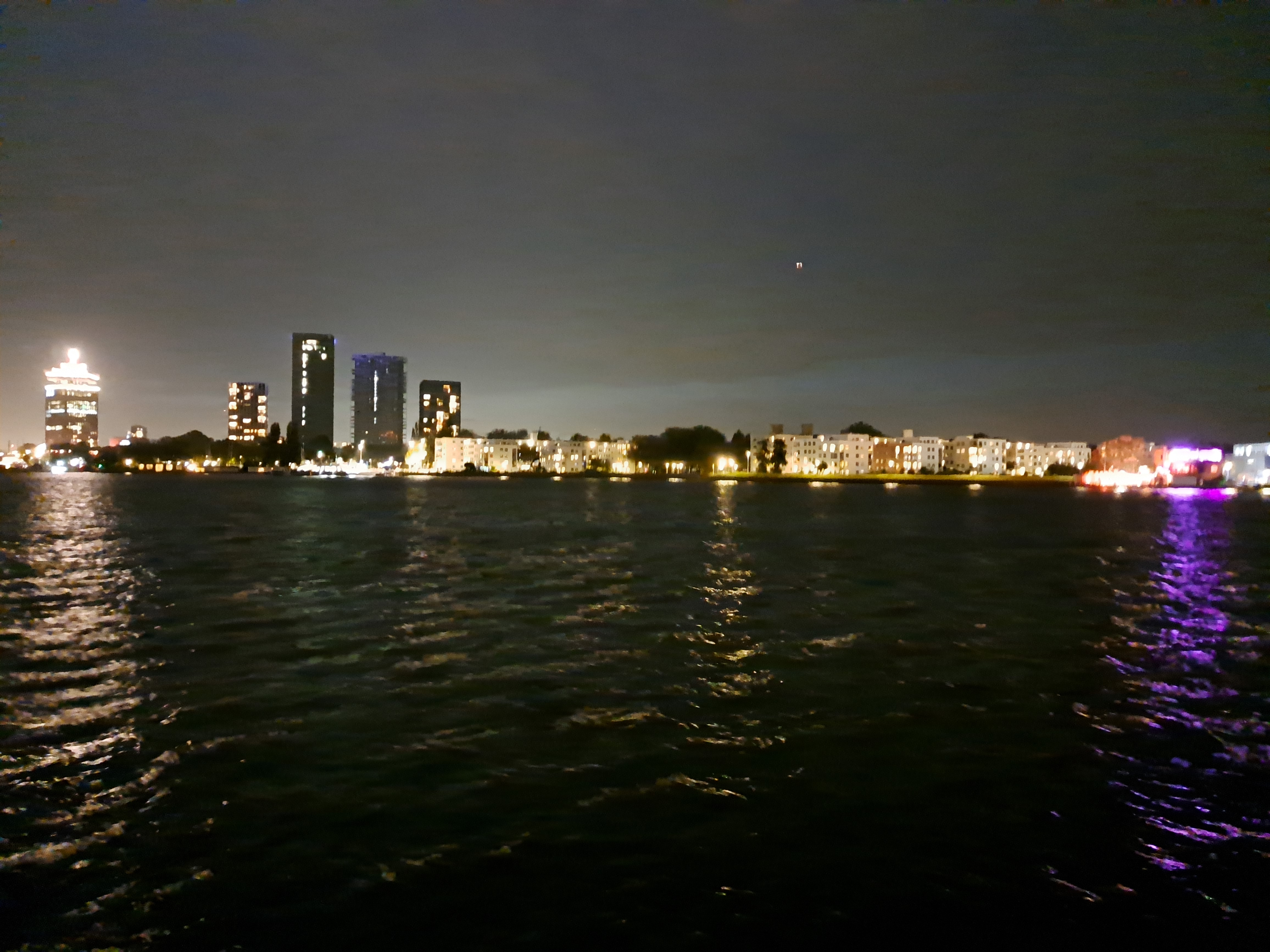
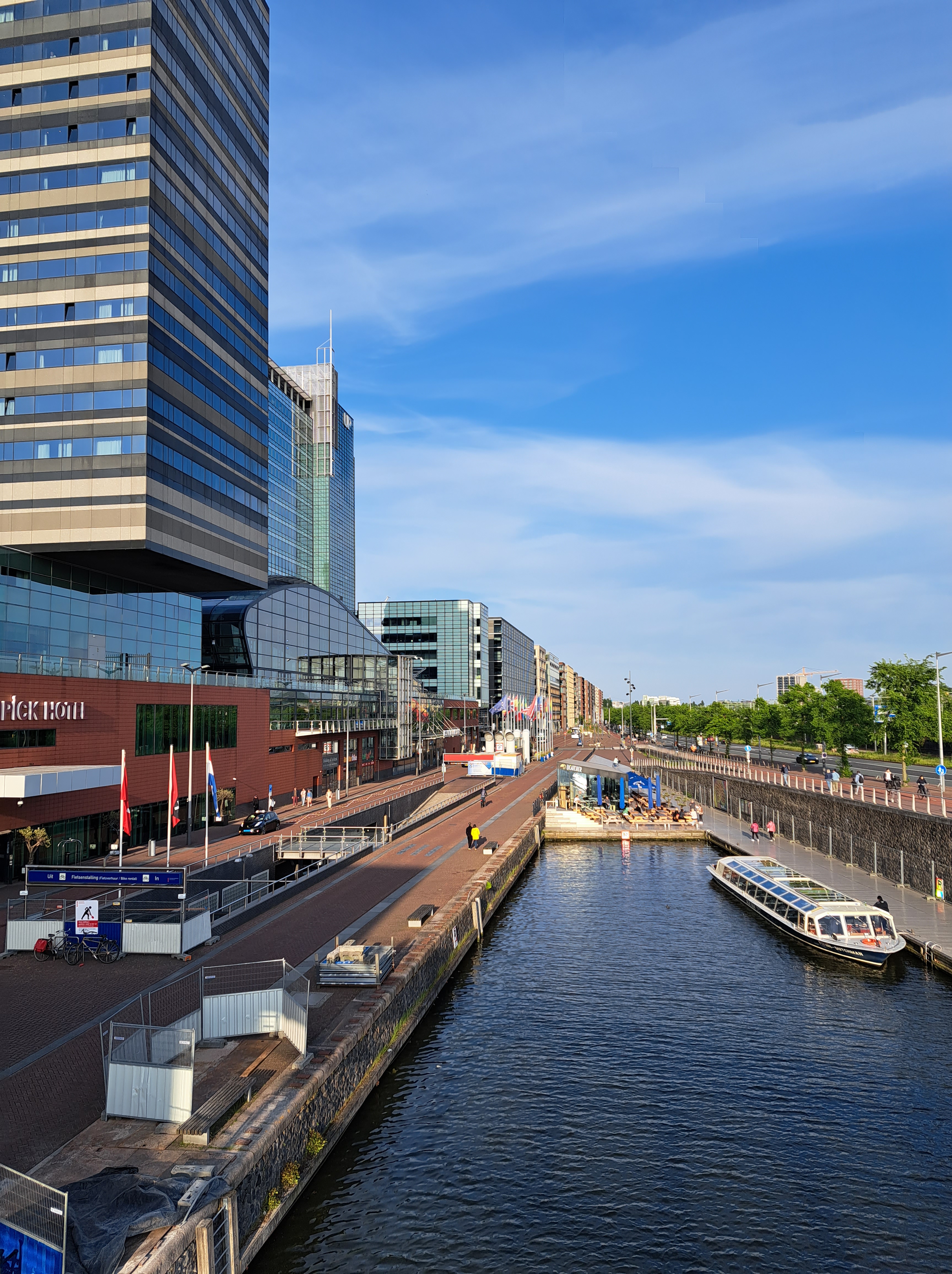
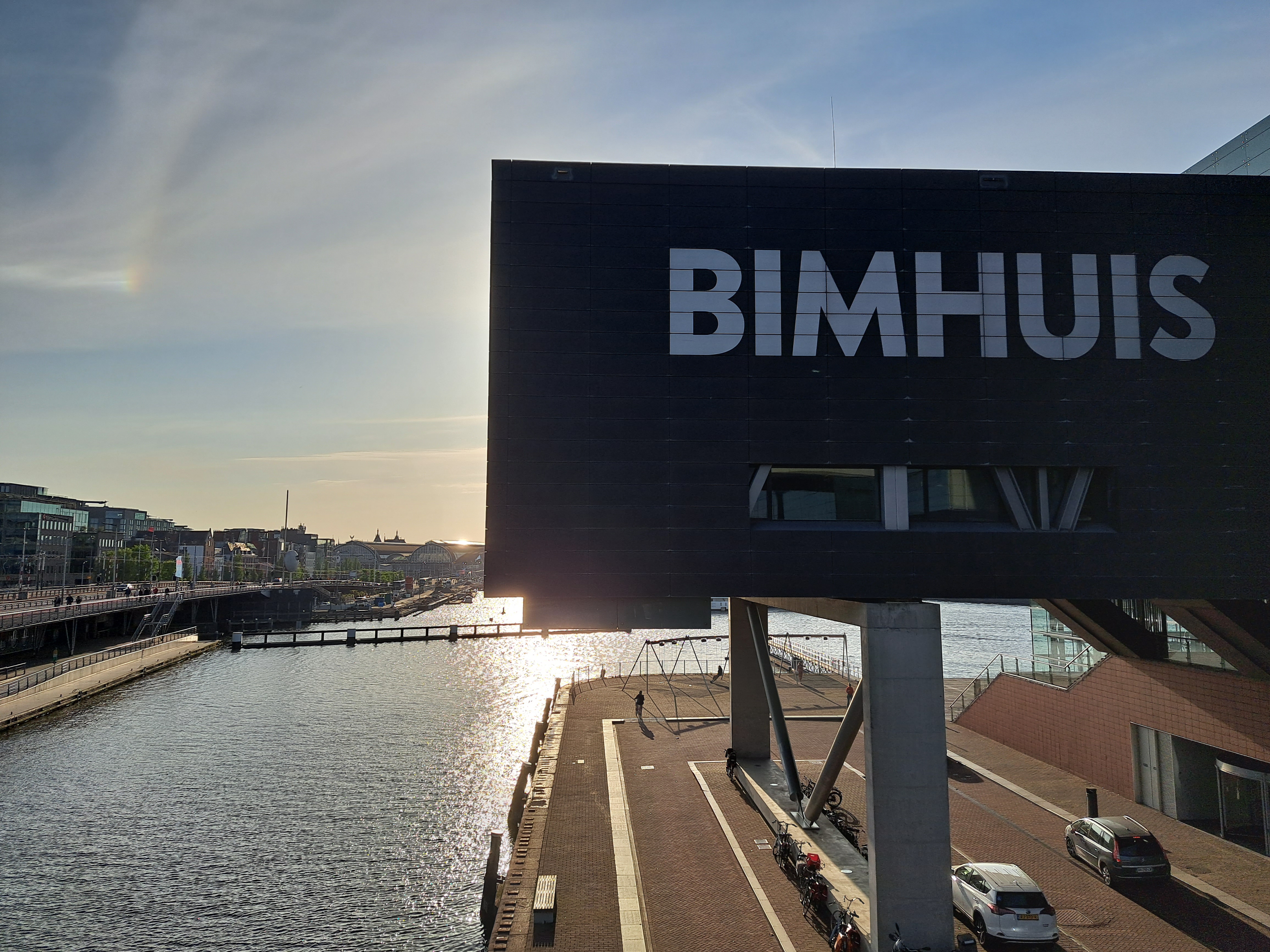
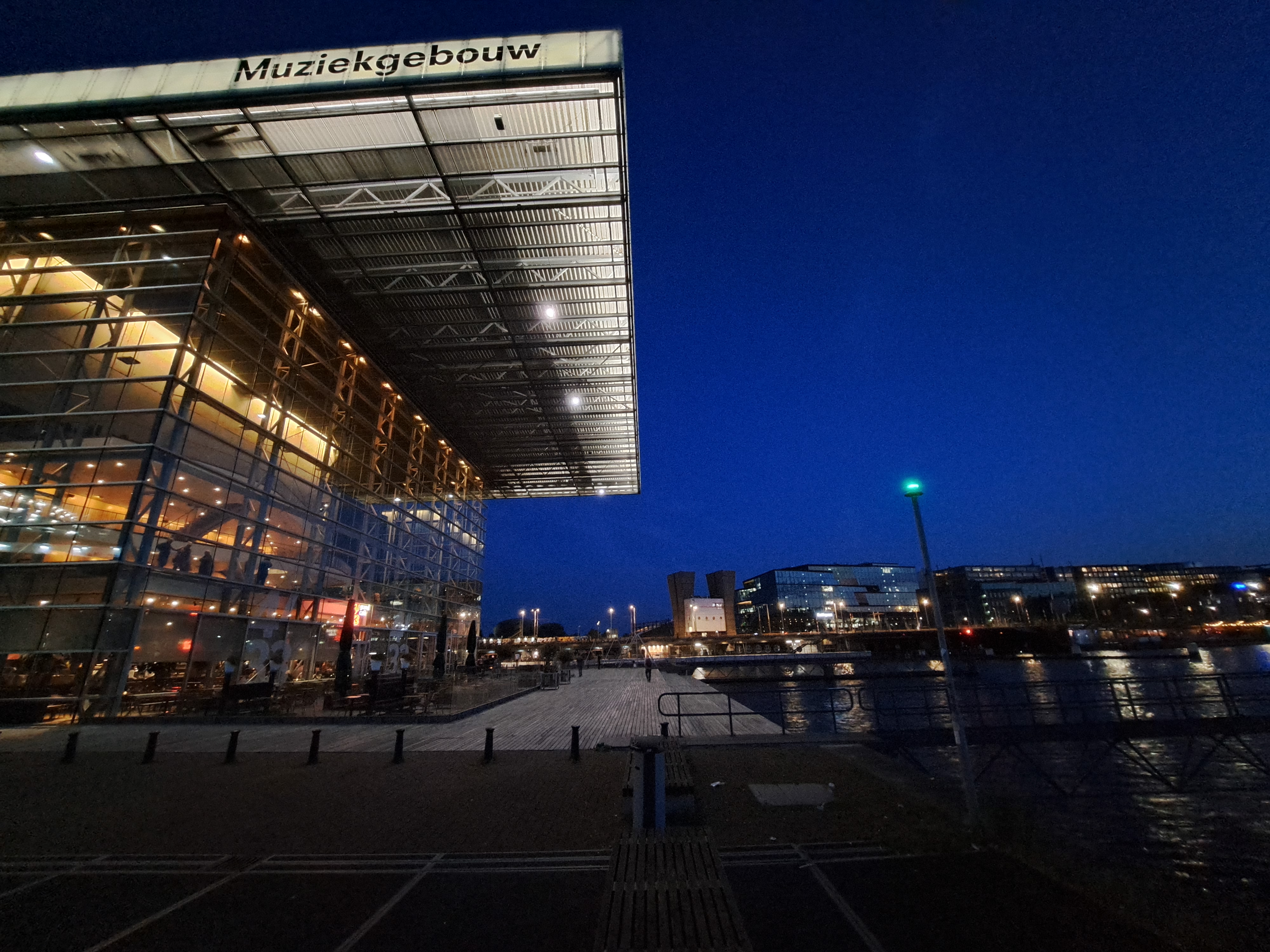
 My nerdly point is this: the water in the photo above is called the Ij. It sits between the Amsterdam you may know and love (to the left) and the Amsterdam you may not know exist, North Amsterdam (to the right). North Amsterdam is accessible via completely free ferries which run regularly just off the north side of Amsterdam Centraal station. It’s got a big lovely park. Amsterdam is a very cool city b/c they’ve done such an amazing job of packing it all in and allowing below-sea-level areas to absorb water, recharge aquifers, and hopefully protect the commercial and residential parts of the city from being flooded — all of which means you can see great blue herons and other fascinating birds bumping up against high-rises and train tracks. All very cool. Anyhoo: I did a day trip going out by ferry, back by bus, to this North-Amsterdam part of the city, which in more than nine years of being there before and after each assignment I hadn’t yet visited. The park in particular is well worth a trip. These are mostly from my September trip; some from my June trip, post-CAR. (Such as me in front of my favorite European concert hall.) Enjoy 🙂