Albuquerque from the air, en route to that lovely long family weekend in Texas at the end of March & early April. We’ve shown you similar views before.
As I’ve mentioned, the blog in general and – more specifically – these numbered “series” that I’ve done the past few years tend to get me out the door, with an eye and mind open to something interesting or lovely (or both) in the physical world around me. Having launched this “Islands” series from my trip to Madeira last December, and being now in this numbers thing (a few of you may have noticed that I’ve gone sequential and numerically rhyming in the entries, to the extent manageable) …well, I needed to get more Islands to photograph! And it turns out I’ve already, unbeknownst to me, shown you any number of photos a few little islands in the ponds that adorn my beloved next-door park, good ol’ Vondelpark. That’s an island, behind the duck: who knew?!
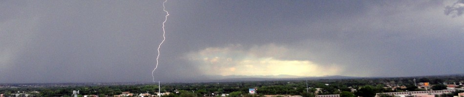
It’s fun to create rules for oneself which give one the opportunity experience the world afresh, in a brief moment of pre-thunderstorm sun.
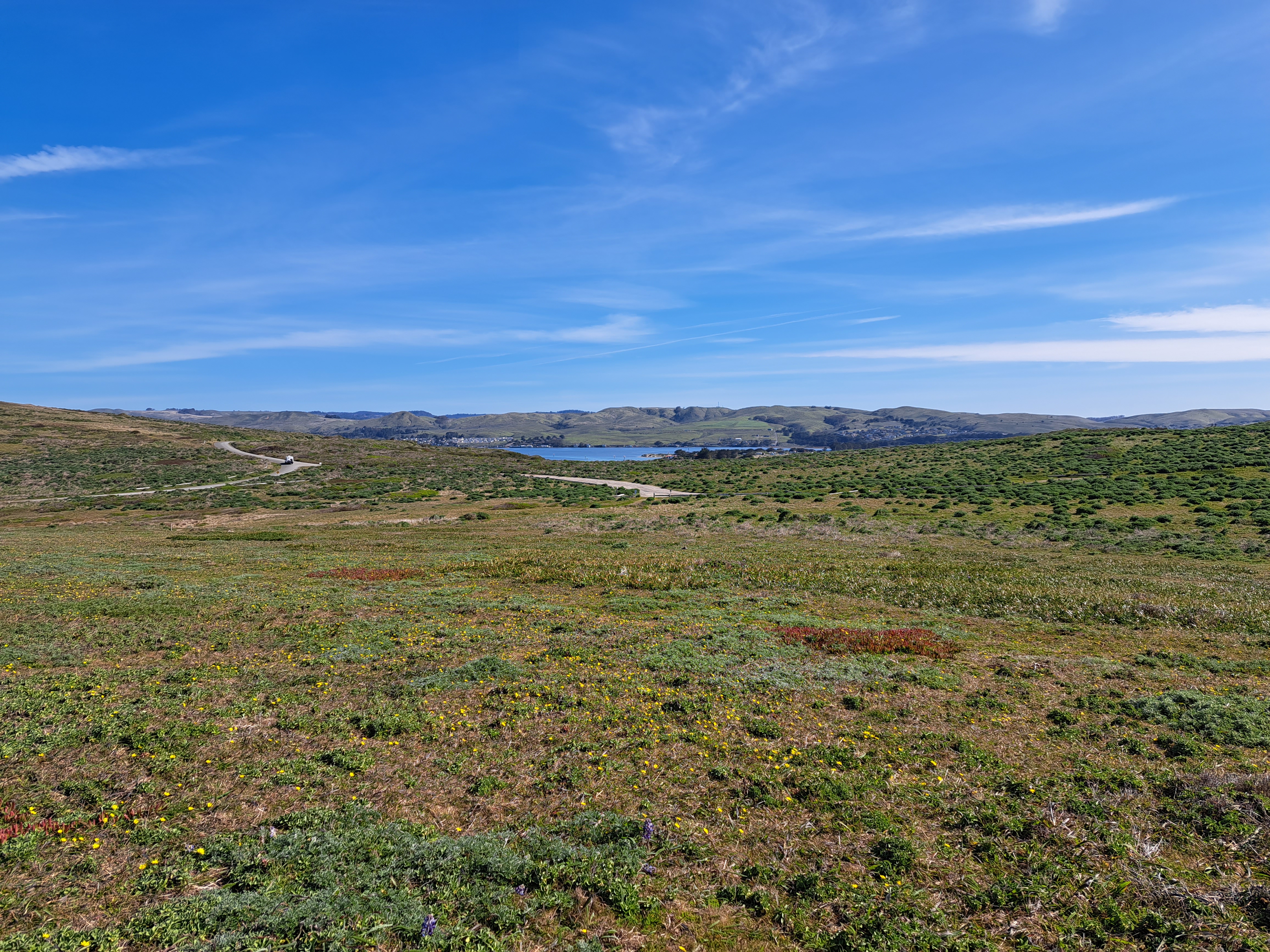
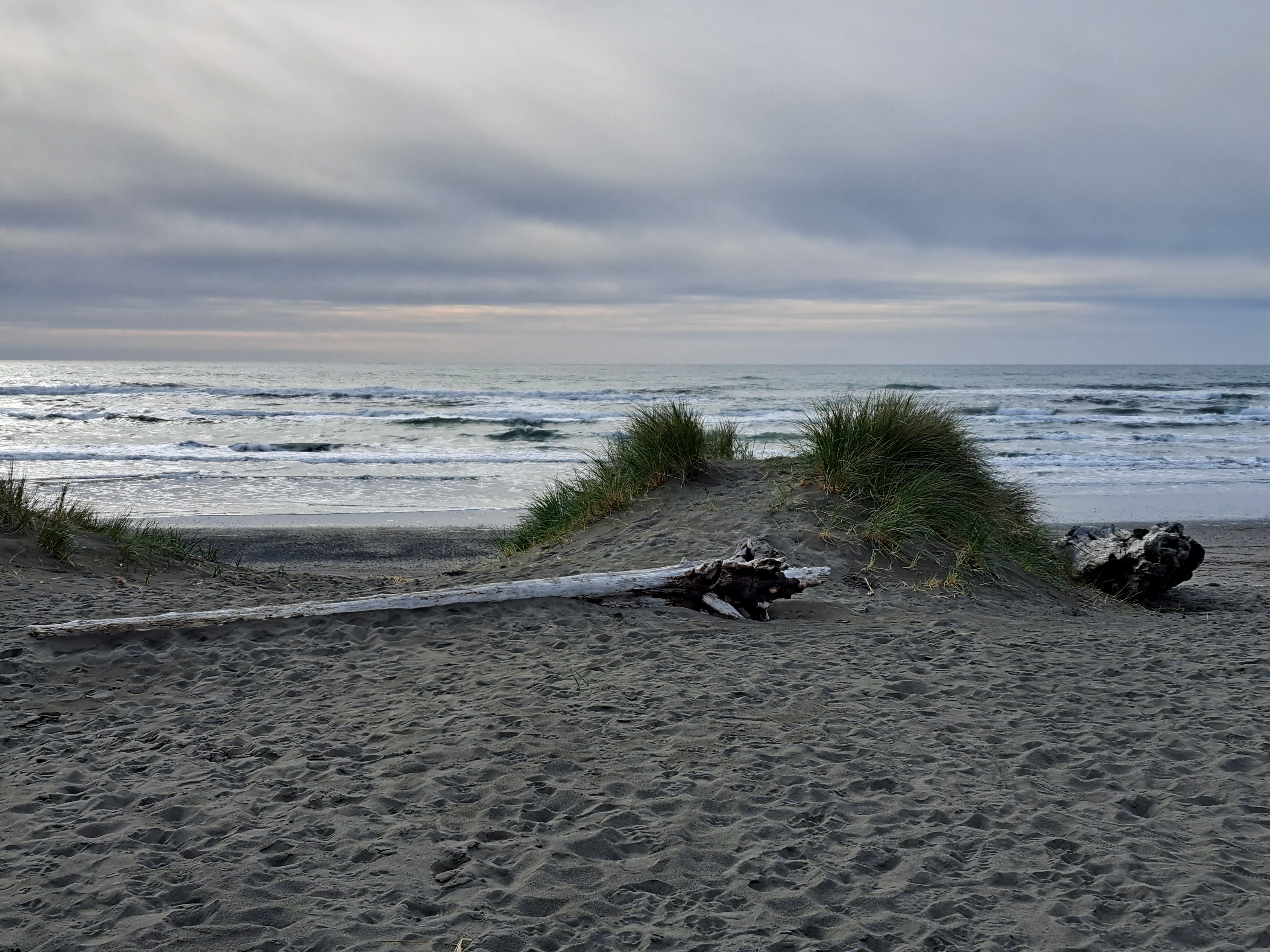
On the drive up to Humboldt, we took the coast road which meant we got to stop at one of my favorite county parks with its lovely seaside redwood forest :-).
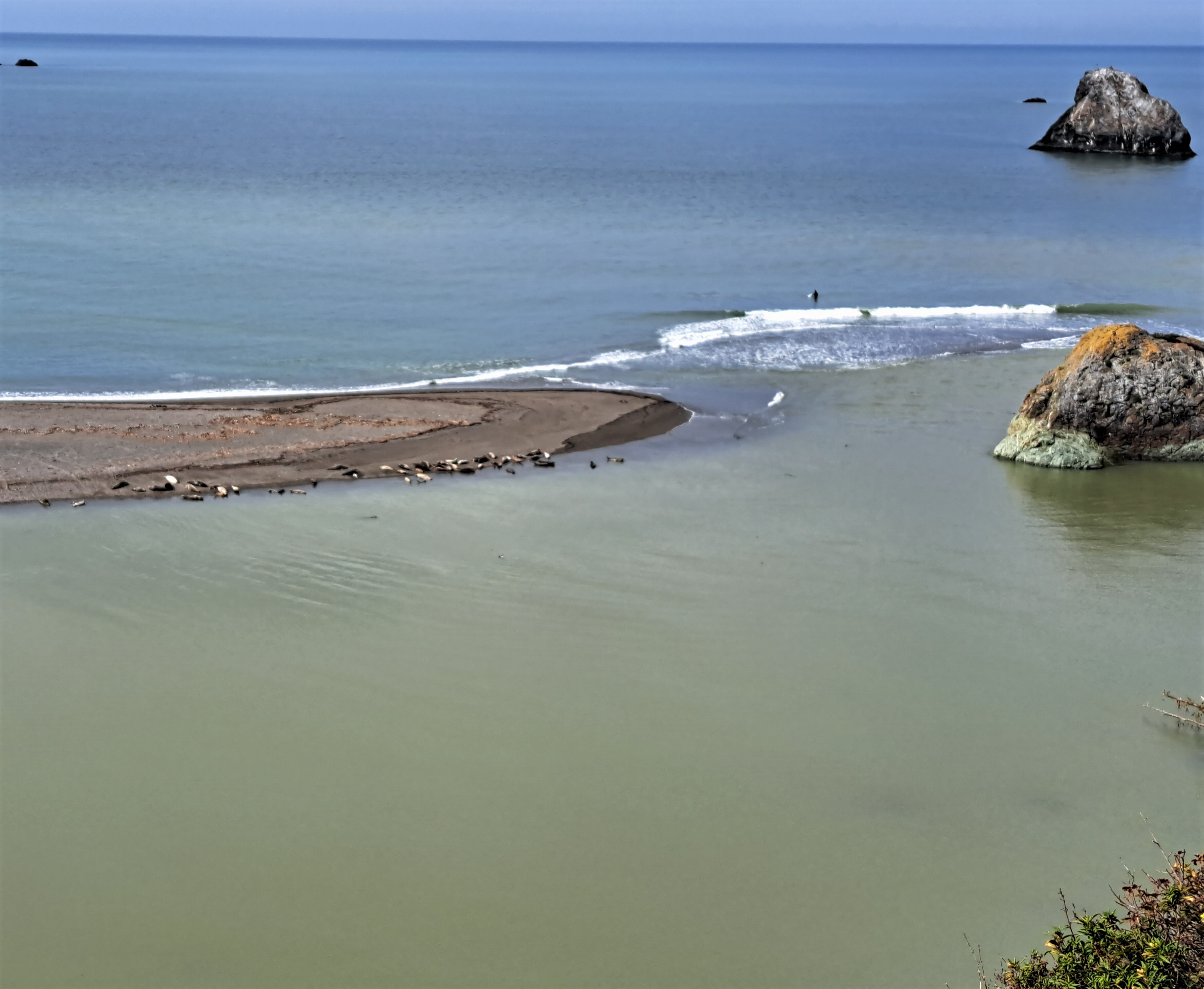
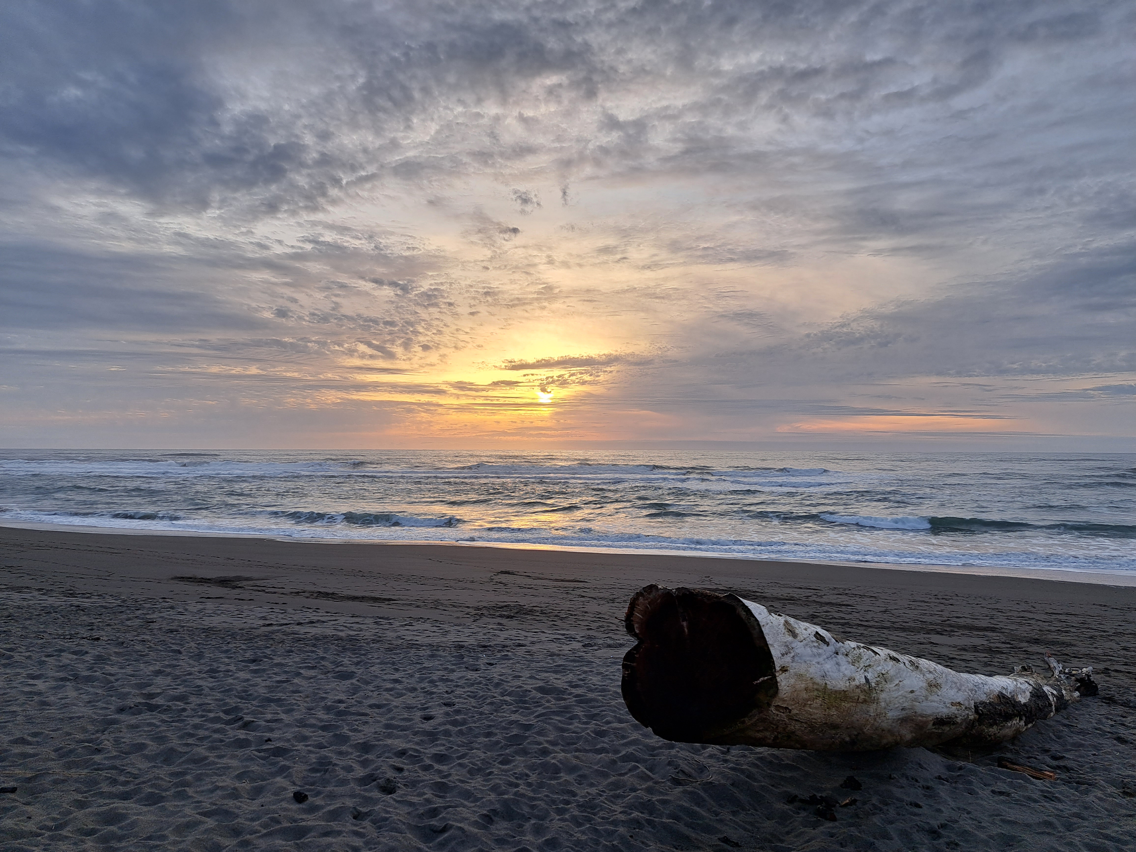
Herewith, sadly, the last photos from our few nights up in Humboldt County with my big(gest) brother last month, thus the end with a sunset. (Thanks for coming down, Chuck!) I don’t have a ton more “coasting-appropriate” photos left, so either I’ll need to get back to a visible coastline again soon, or this series will also go into hibernation like a few others for which photos are getting thin in the folders. Original reason I started these series: to get myself out the door looking for things to post! 🙂