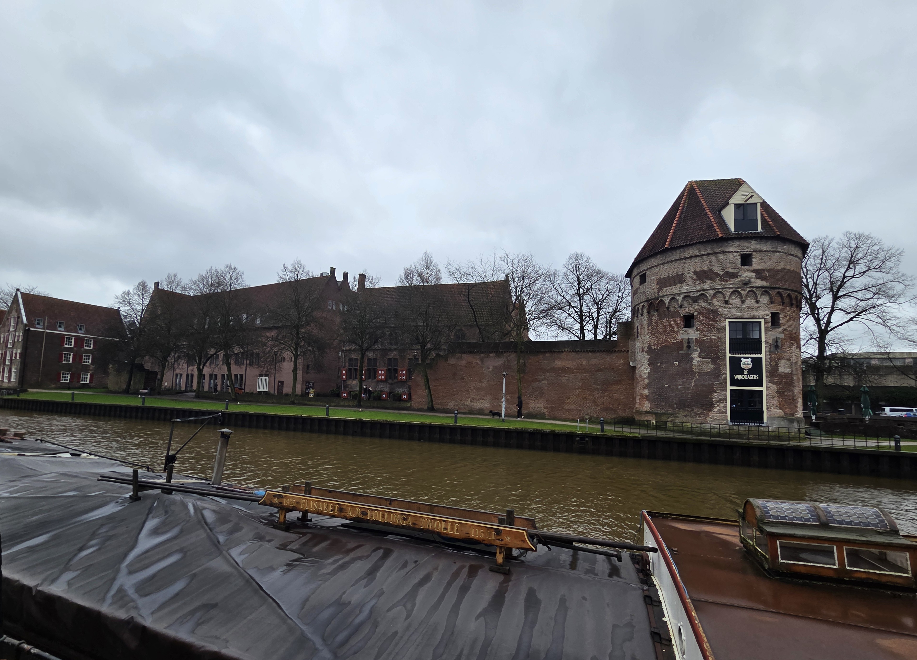
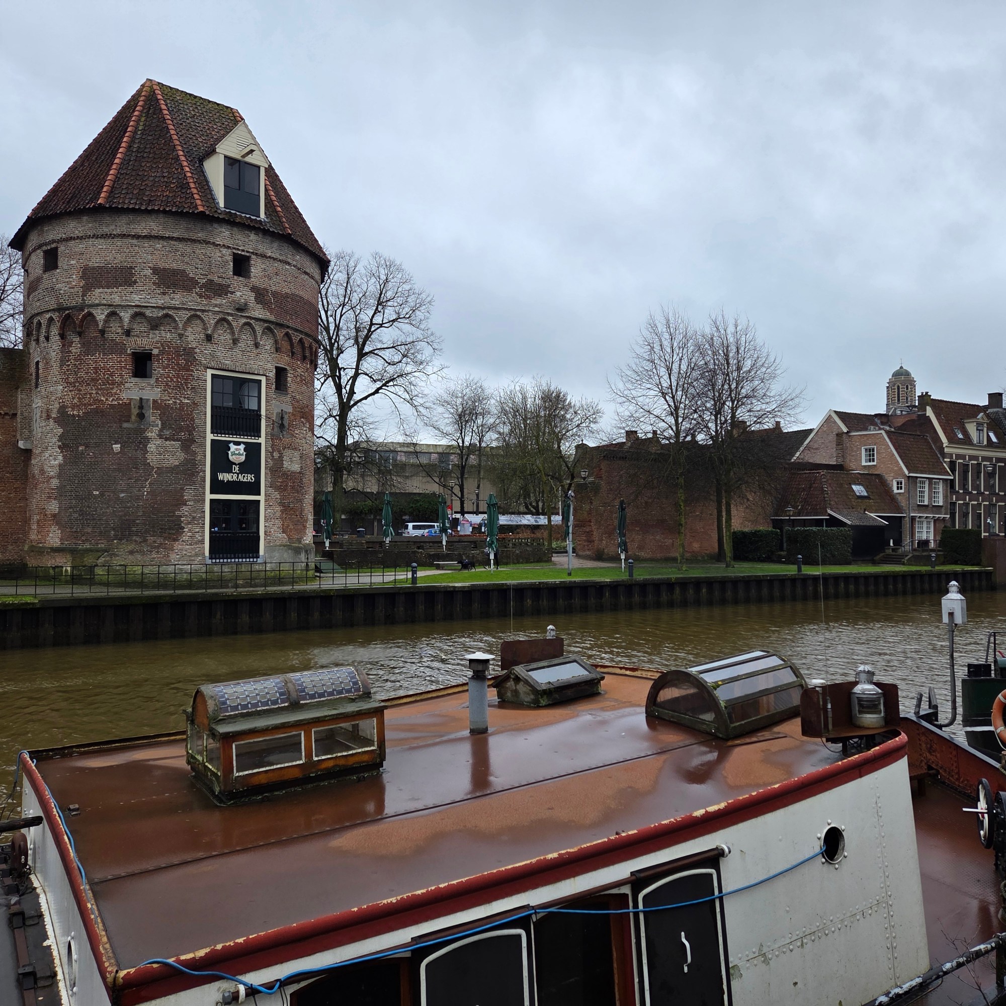
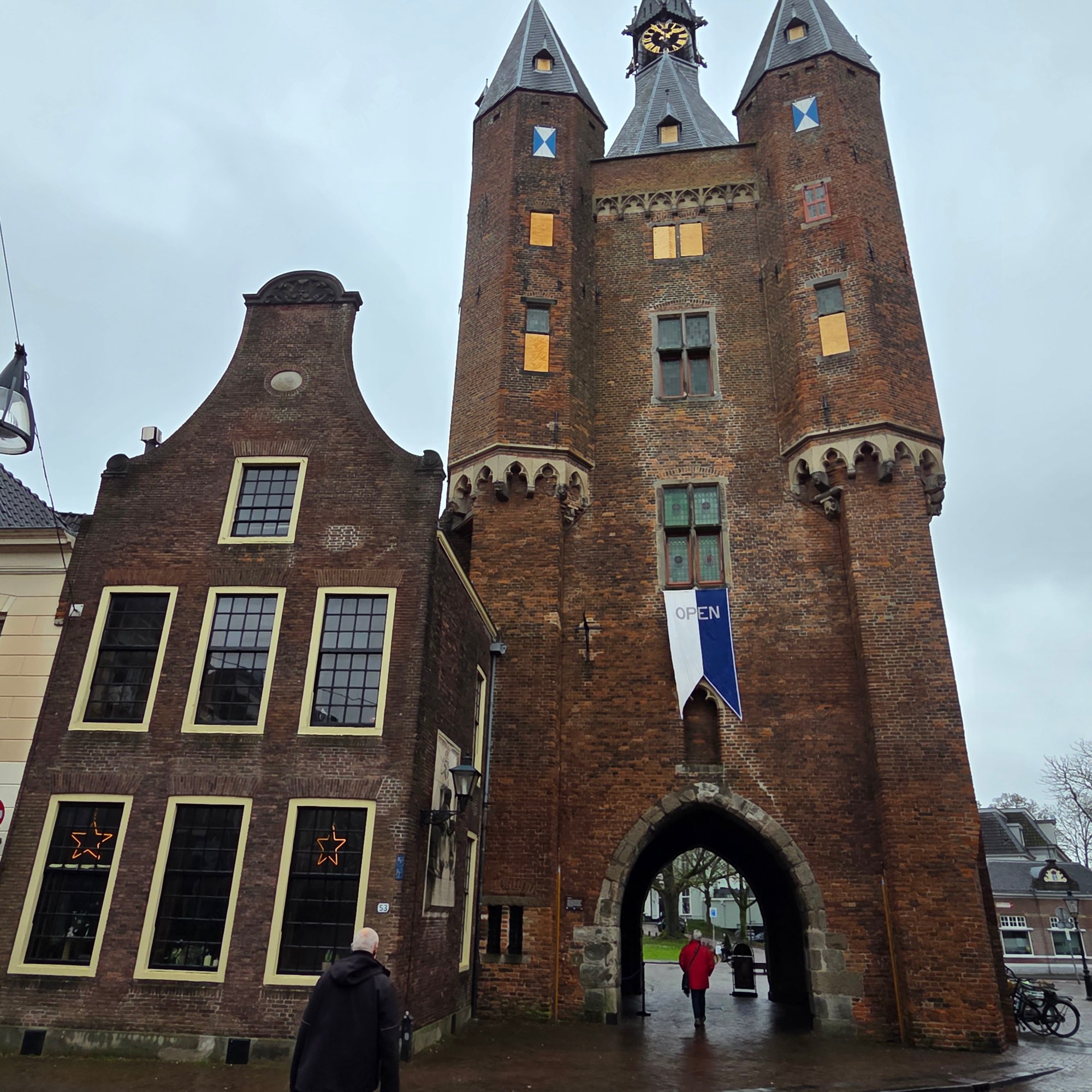
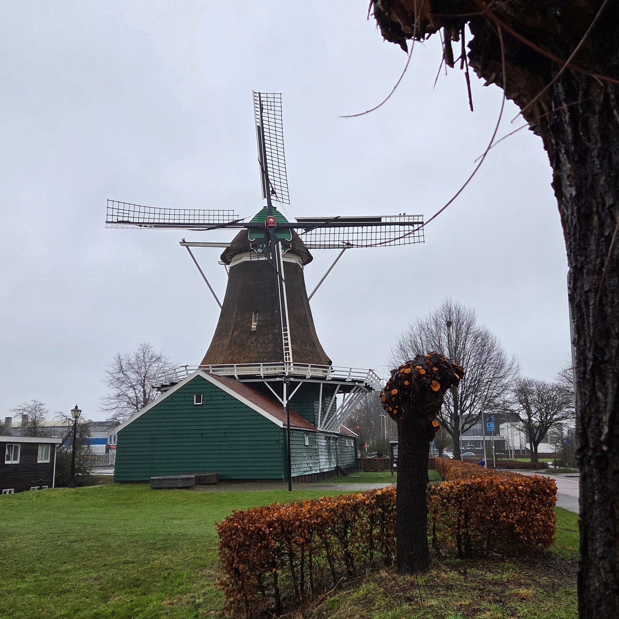
Zwolle is the capital of Overijssel Province here in NL, and I spent a (rather rainy) day & night there a few weeks ago in order to experience quite a magical concert by the combined Amsterdam Sinfonietta & Nederlands Kammerkoor which featured Faure’s Requiem, a Shostakovich Chamber Symphony, Part’s wonderful De Pacem Domine amongst other gems. Herewith a few “signs”-relevant Zwolle views, the first I’ve shown since a few posts in the summer of 2022 (!), the only other time I got out of the train in Zwolle. Spoiler alert: I’ve now been inside the unique modern addition featured in that link: something else to watch for in upcoming posts :-).
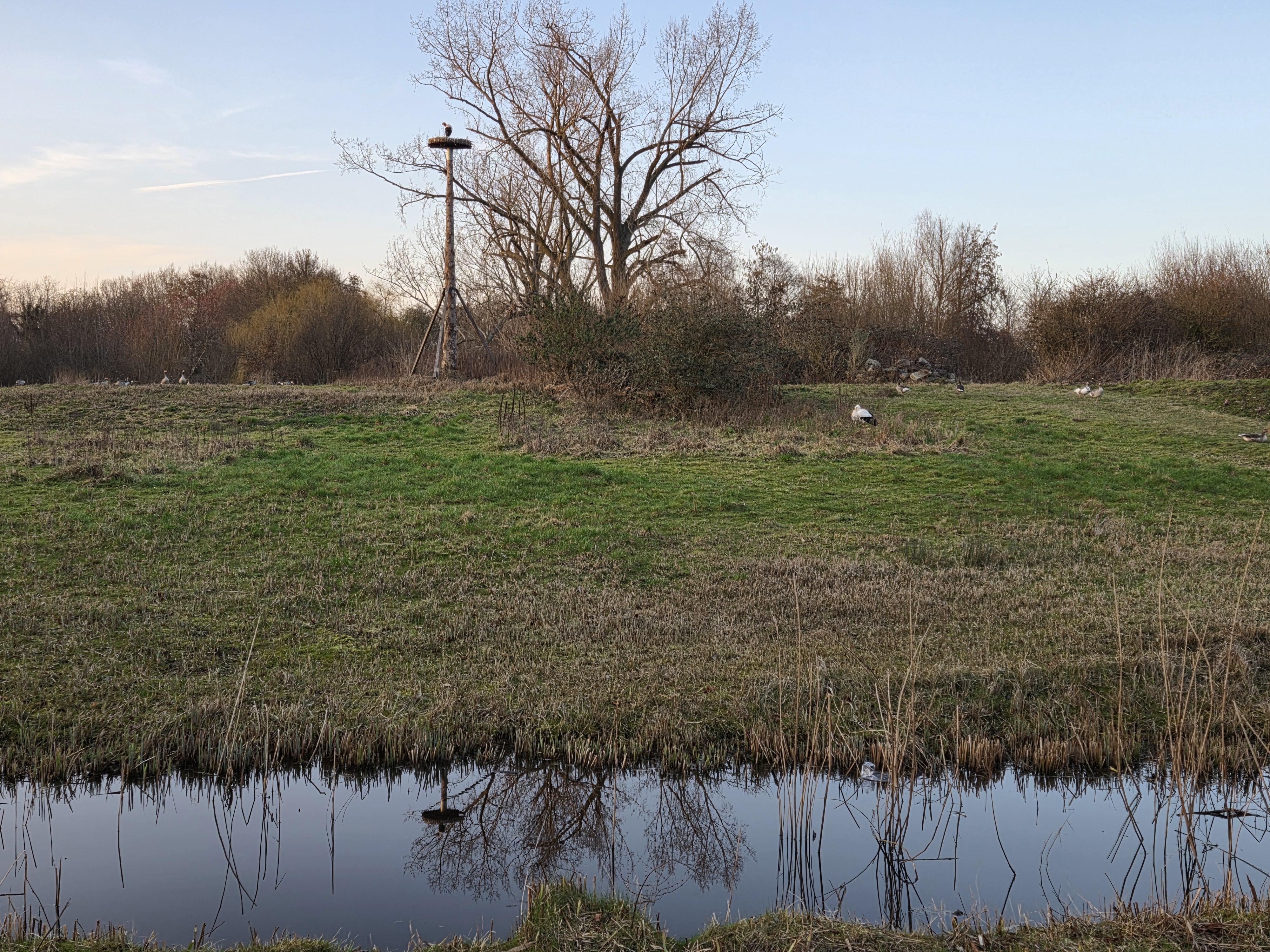
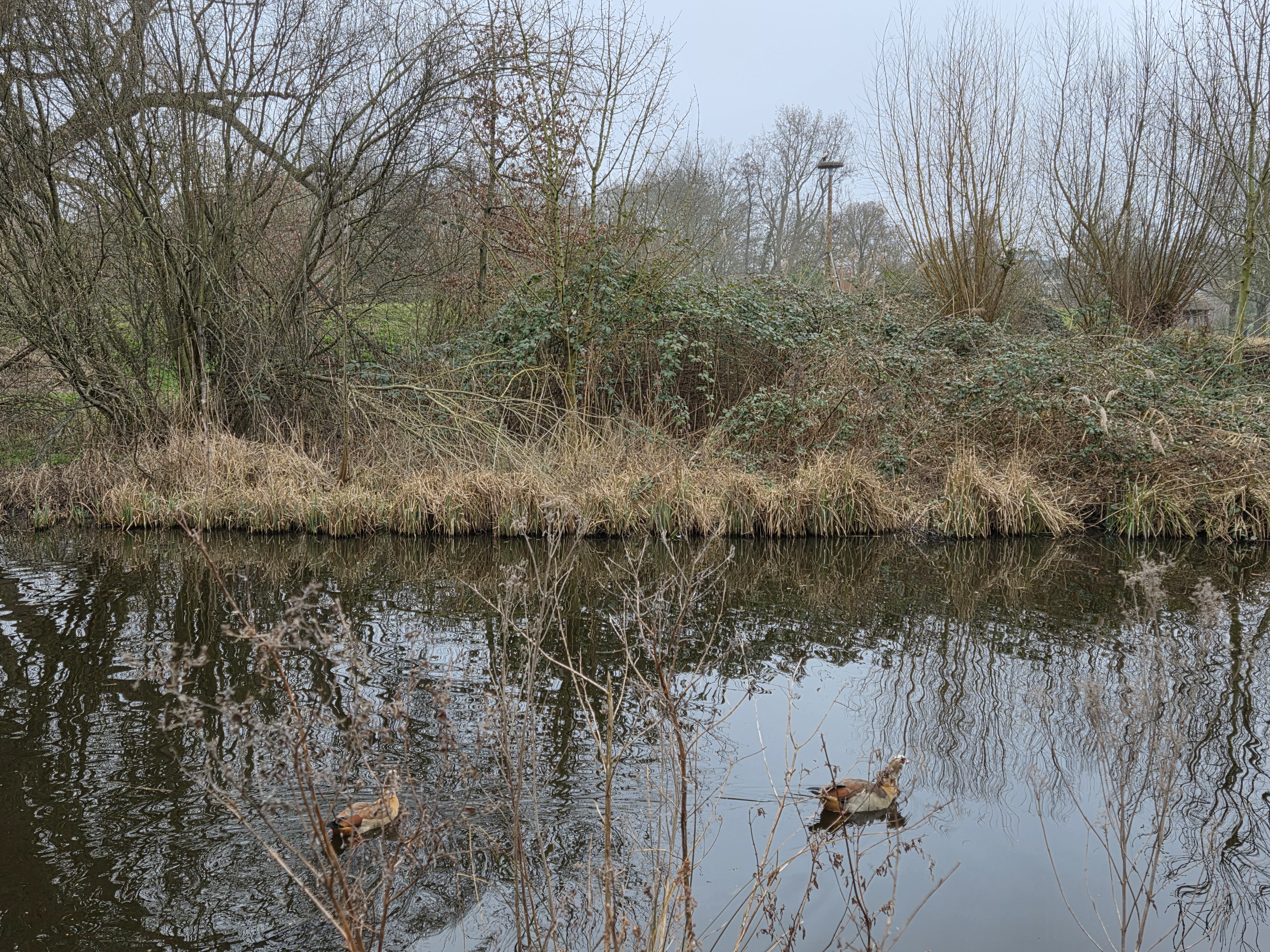
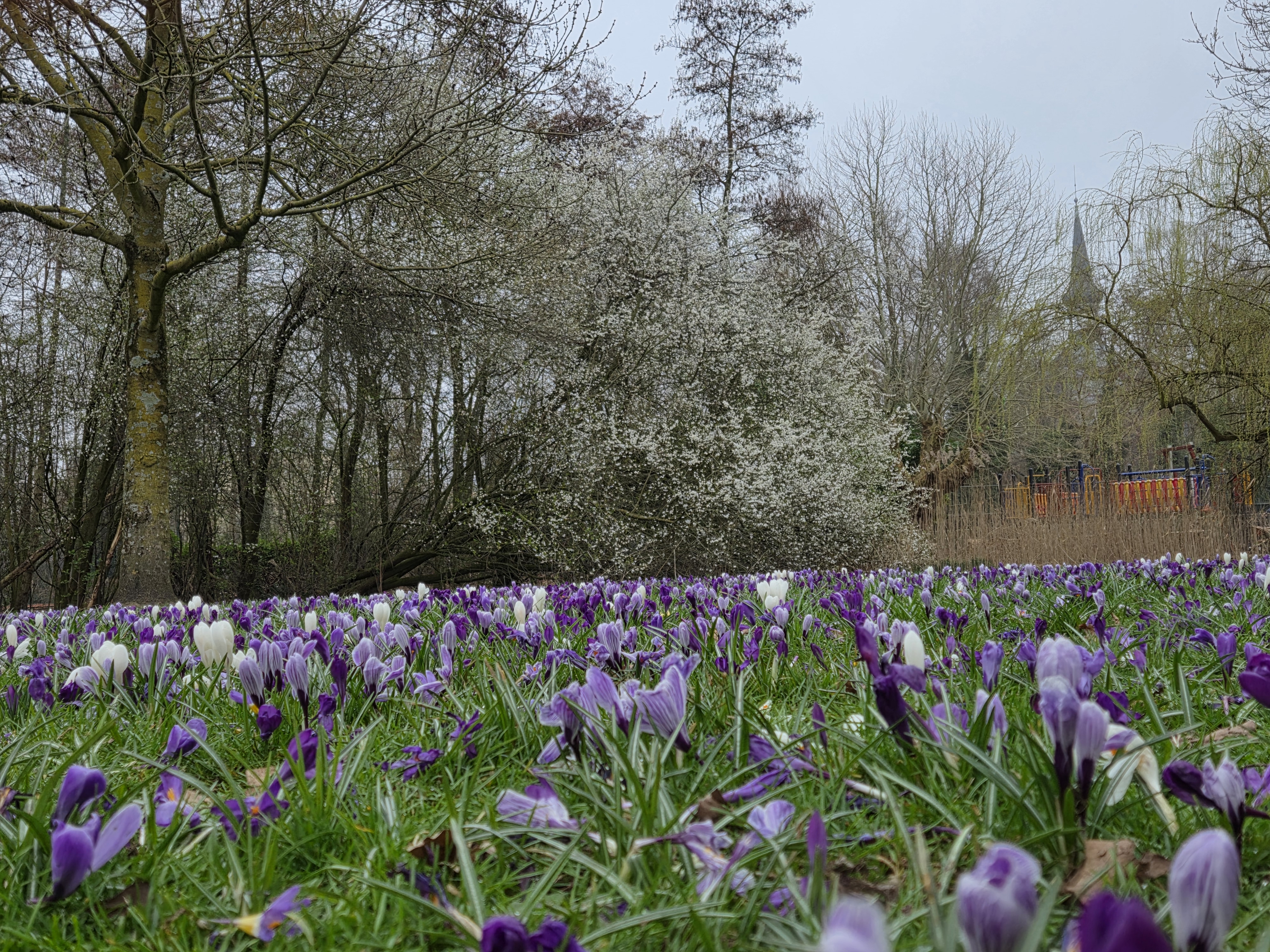
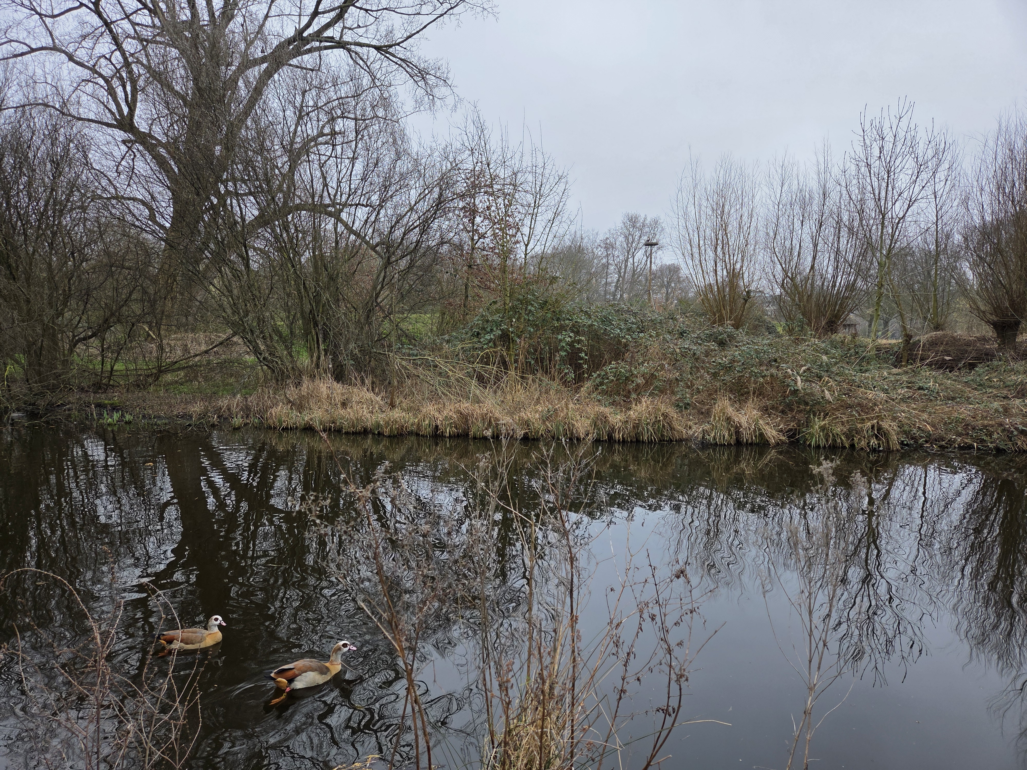
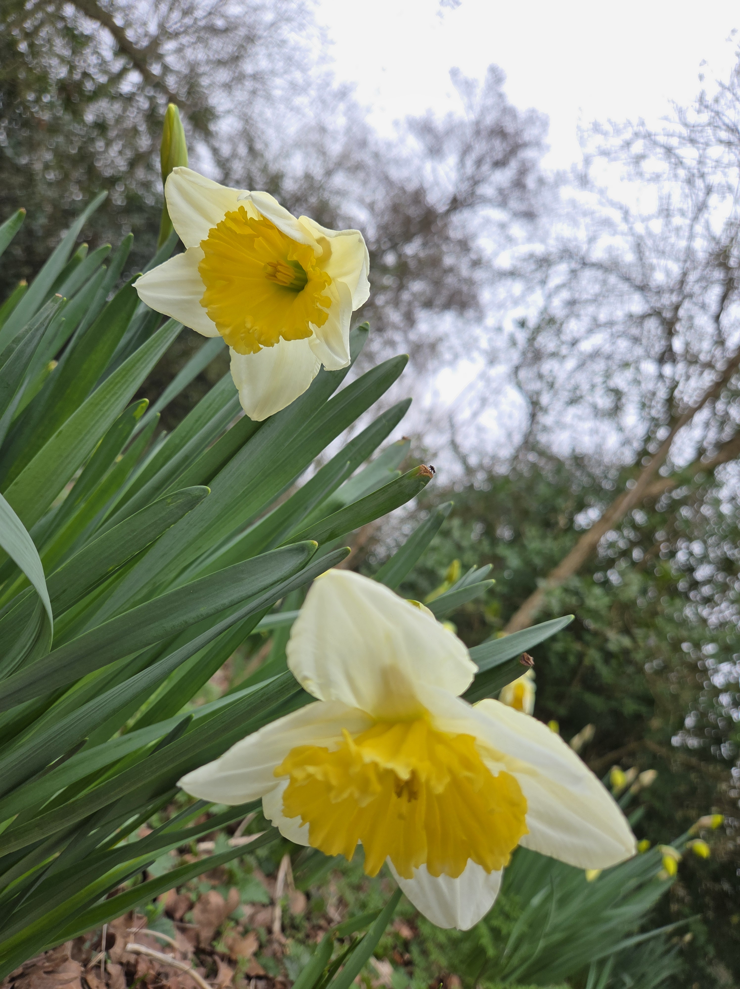
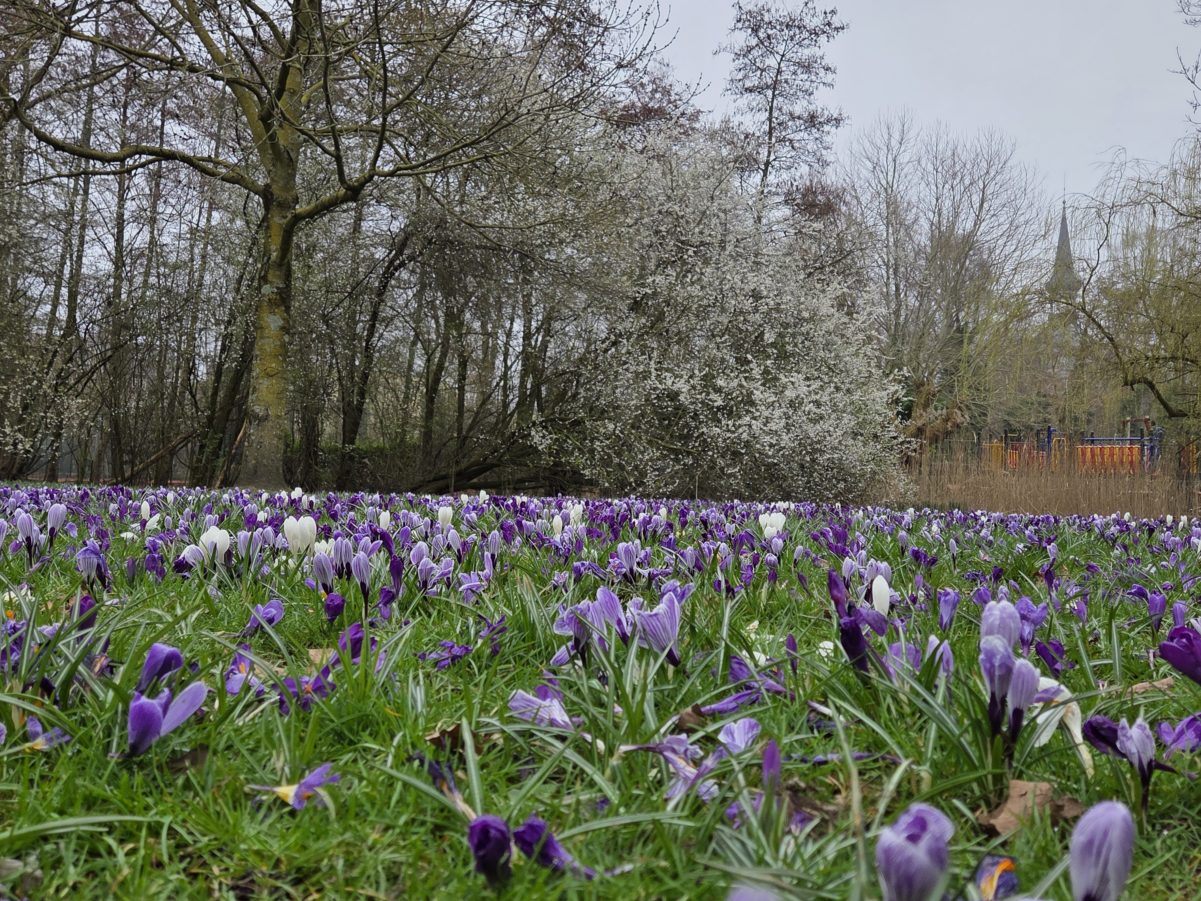
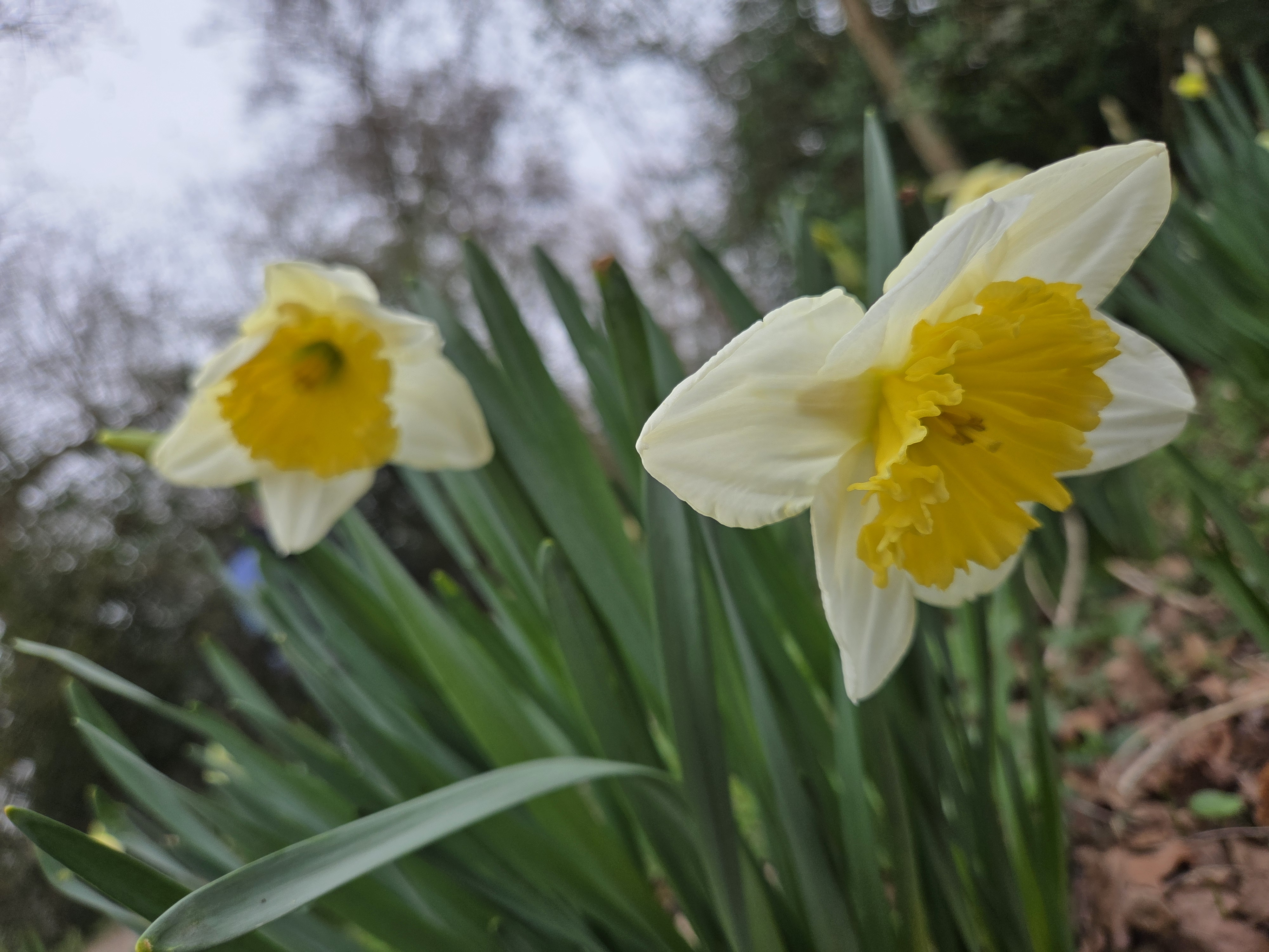
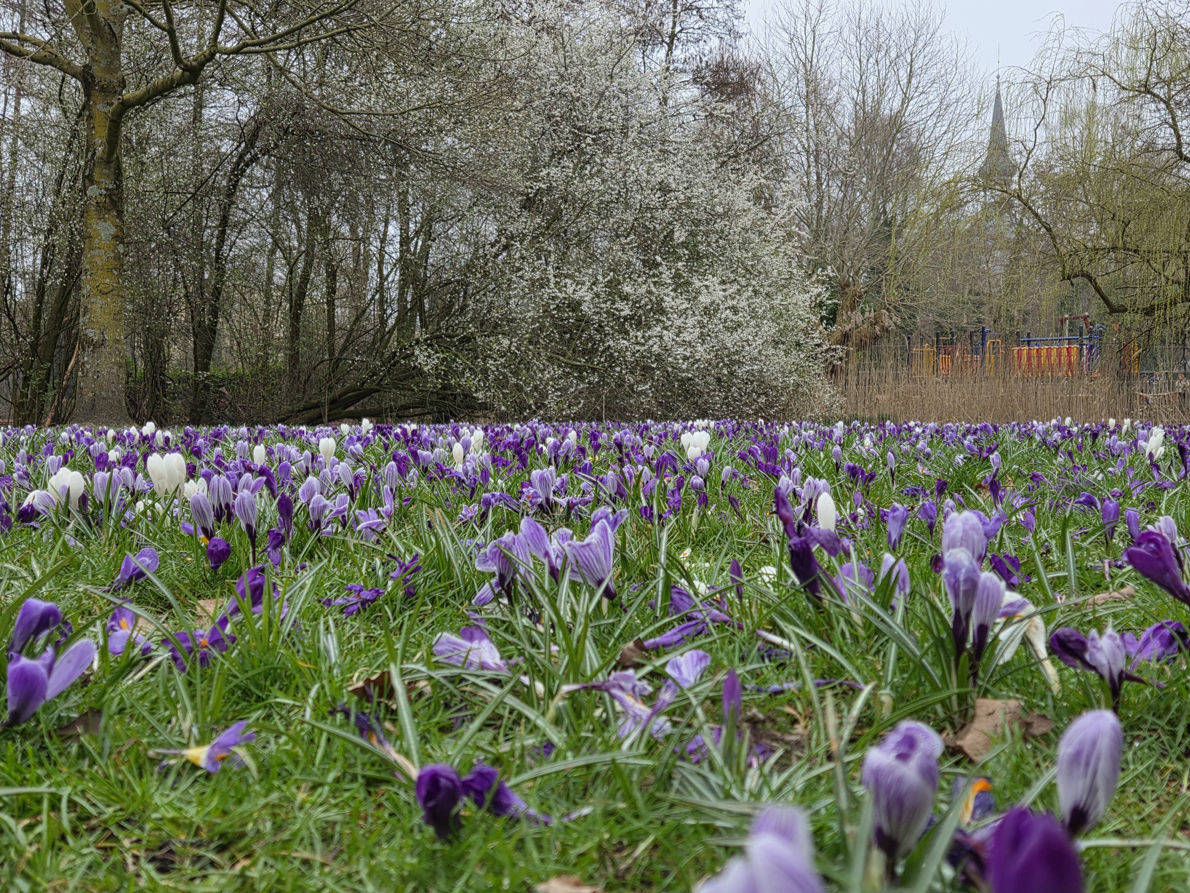
First inhabited stork-nesting platform I’d seen this season, biking home through Vondelpark a few weeks ago – above. Below, same platform seen from the other side, last weekend. And further down, since it’s spring flower season here, more from last weekend’s walk in Vondelpark for your viewing pleasure :-).
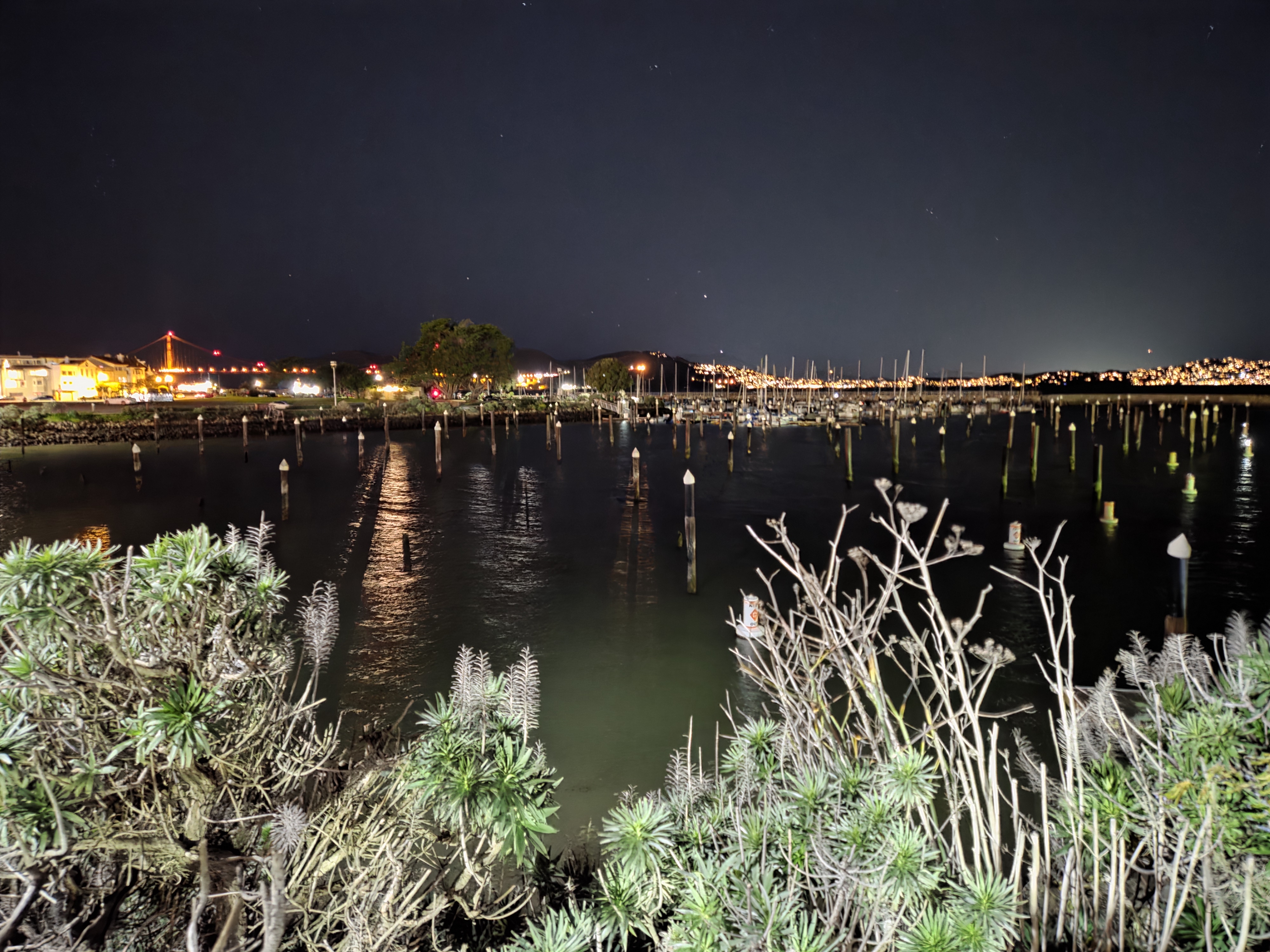
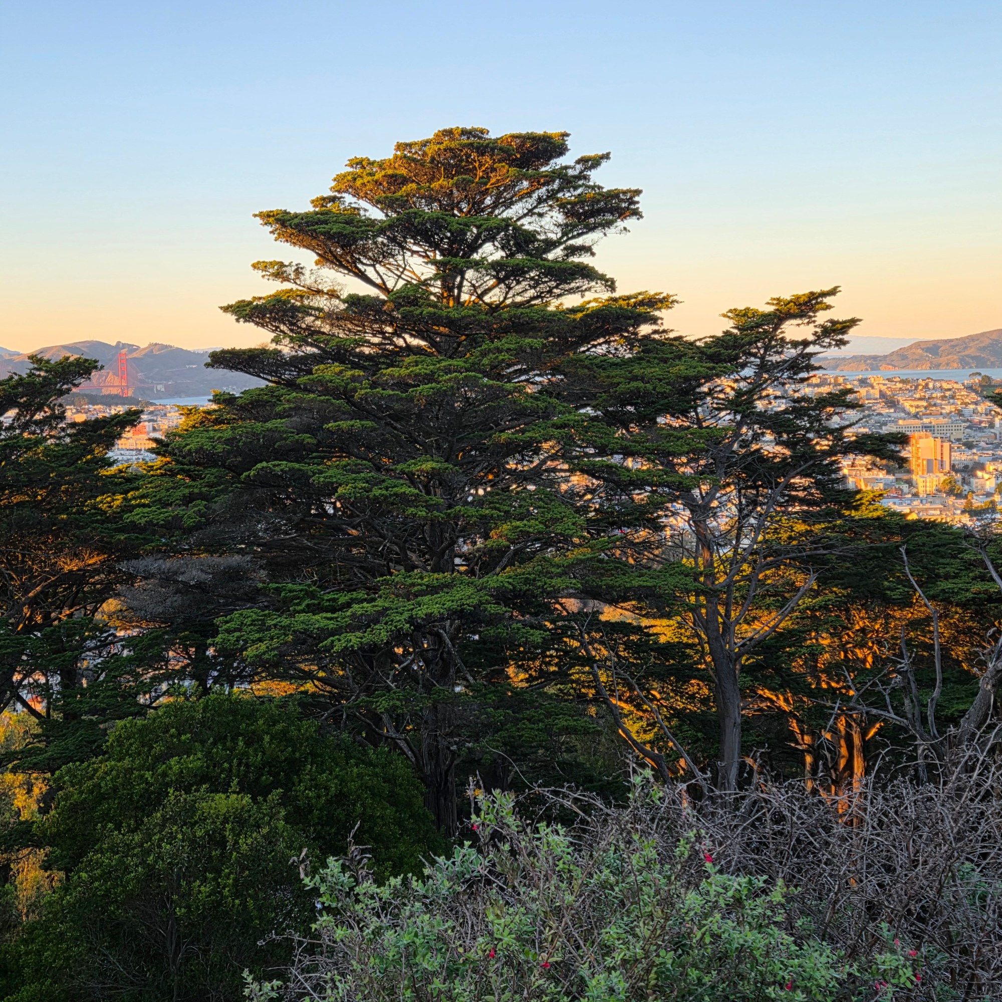
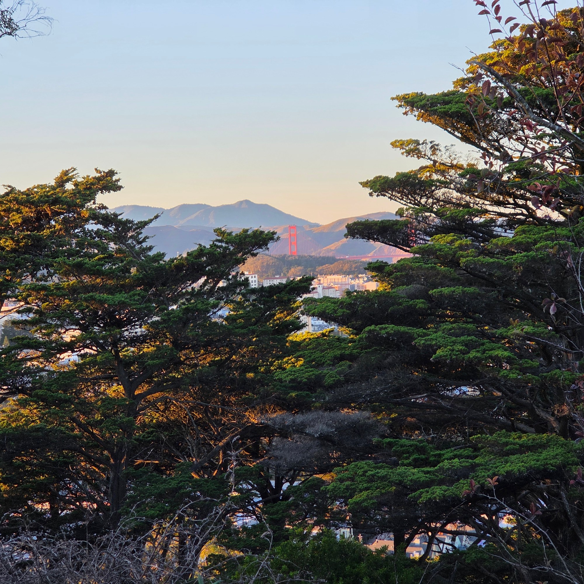
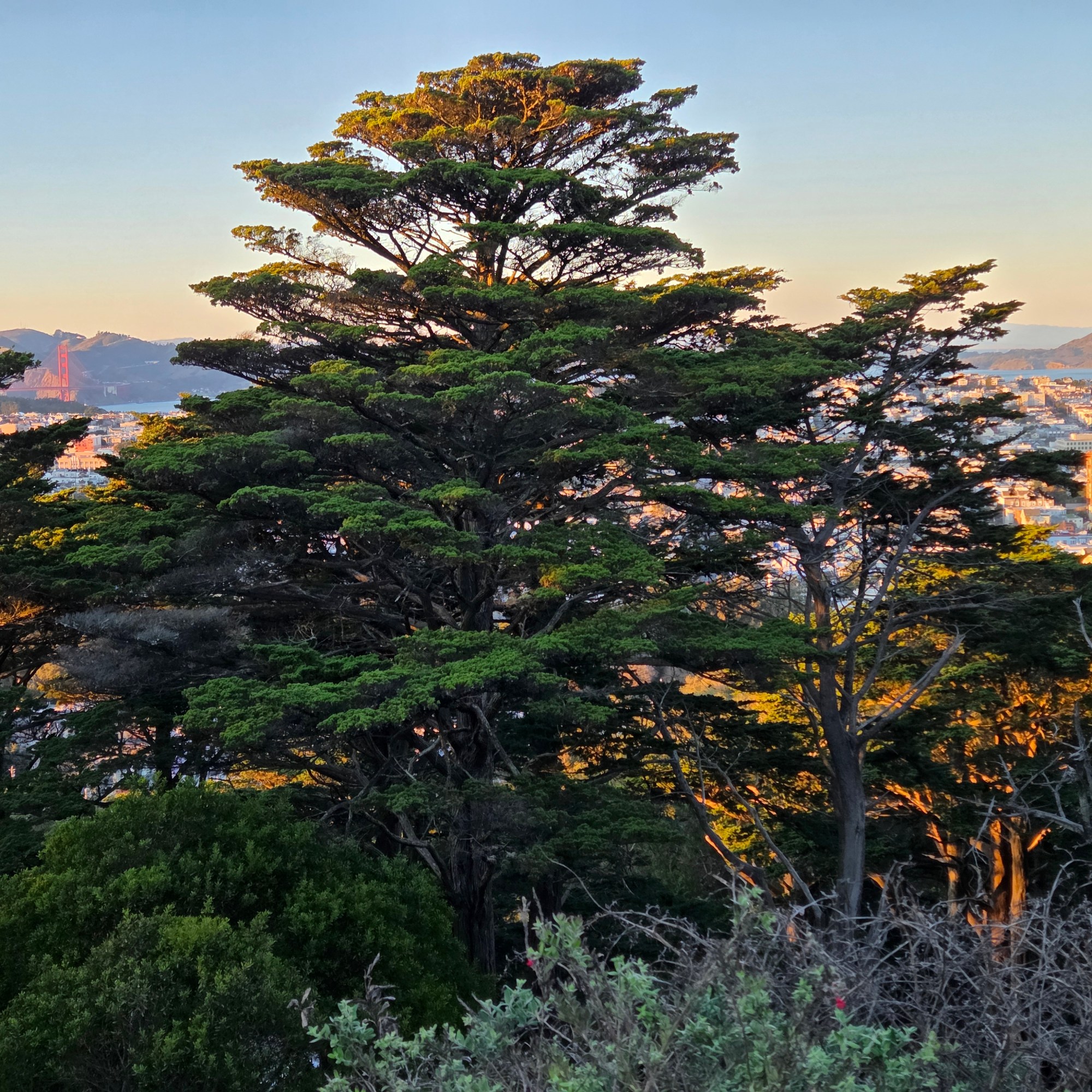
I spent only two nights in SF itself, this last visit, and mostly spent the one full day between down the peninsula watching elephant seals and enjoying time w/my friend Steve. So I collected only these very few shots that show you SF’s, and perhaps the US’s, most famous bridge.
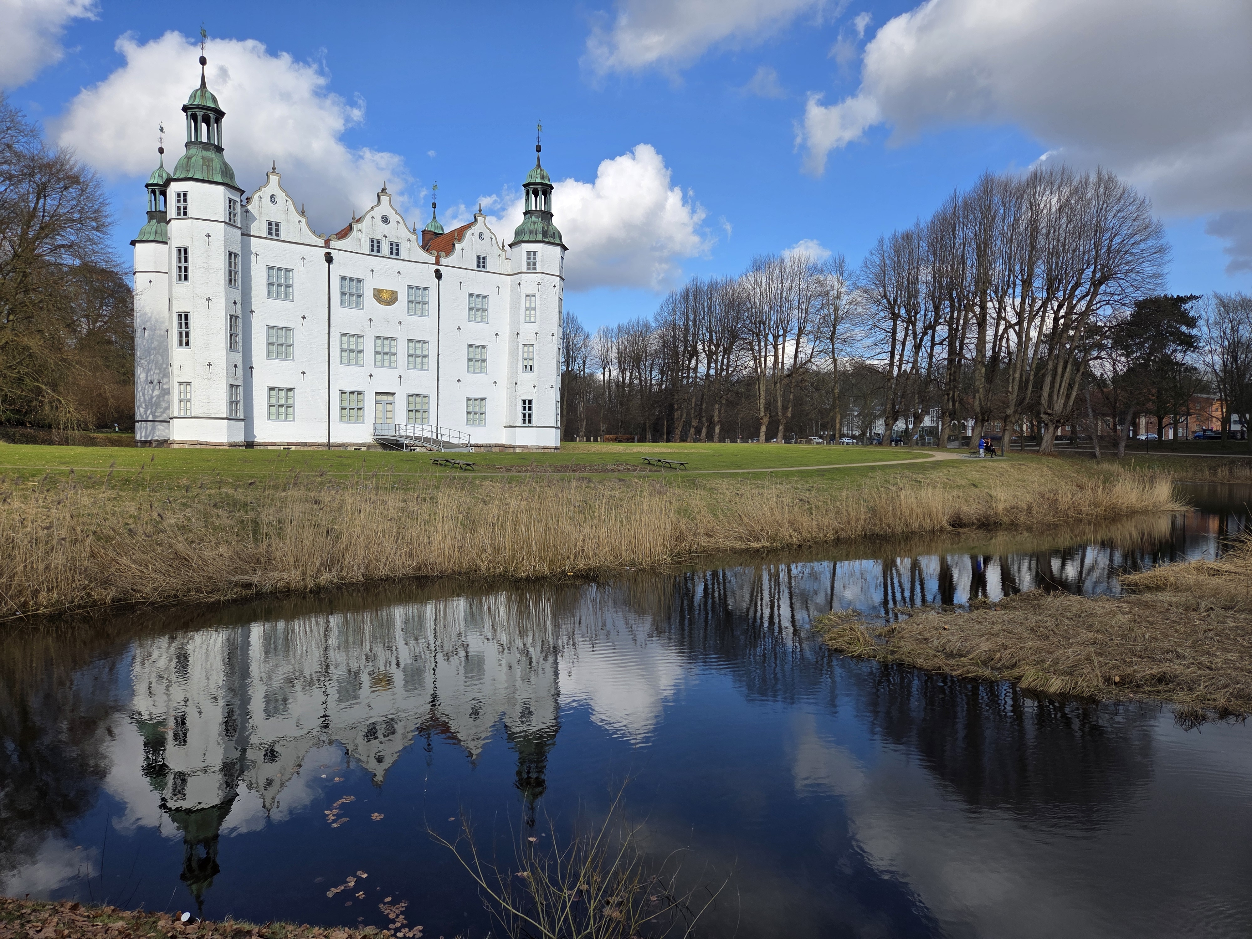
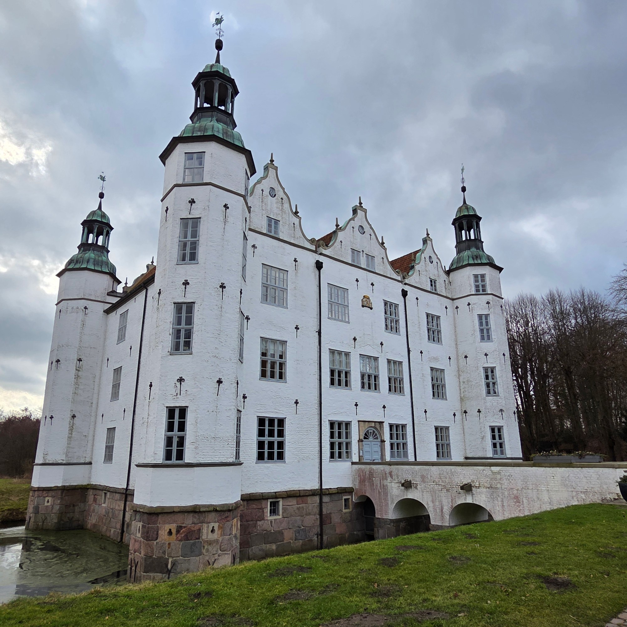
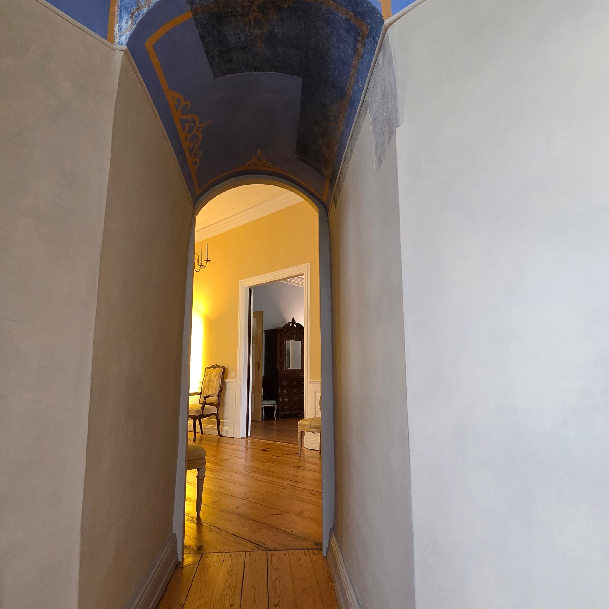
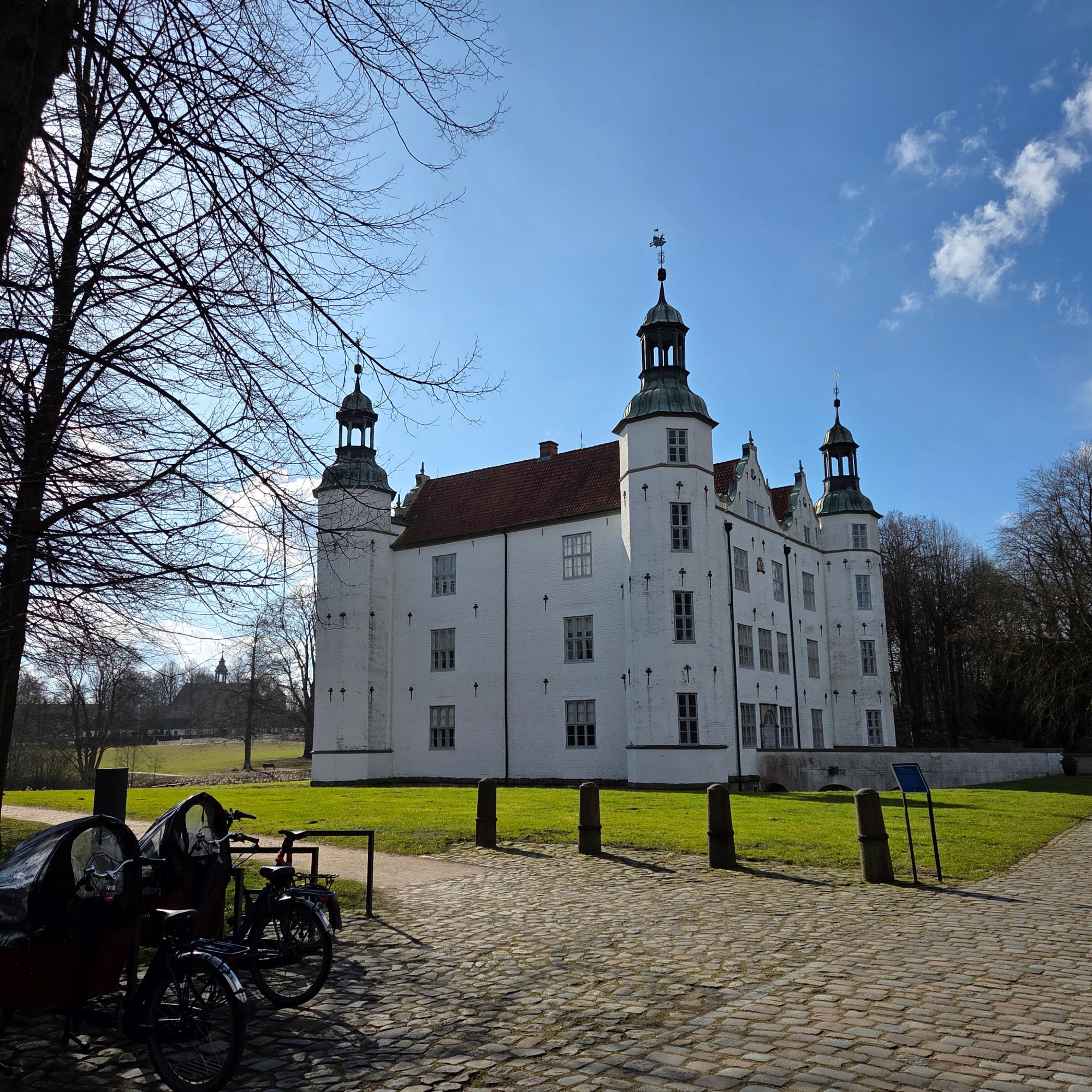
The castle at Ahrensburg, outside Hamburg, was completed in 1585 during the hundreds of years in which most of what’s now the German State of Schleswig-Holstein was Danish. At least one Danish king visited this place in the 1700s at some point. It was the very first rather-legitimate nobility-related castle I saw with my own eyes, back when I spent a year living nearby before college. Oddly enough, I never went inside, never even entered the gardens and grounds to explore, ’til last weekend when I was back for a longer visit than I’ve managed in recent years. If you’re in large-screen or full-view mode, you’ll see three round photos in a row below; the one in the middle was taken from the ground-floor turret room front left in the photo above, looking inwards, and if you enlarge, you’ll see areas where recent renovations uncovered some centuries-old paining, which they’ve tried to match a bit to show what the old colors would have been when fresh.
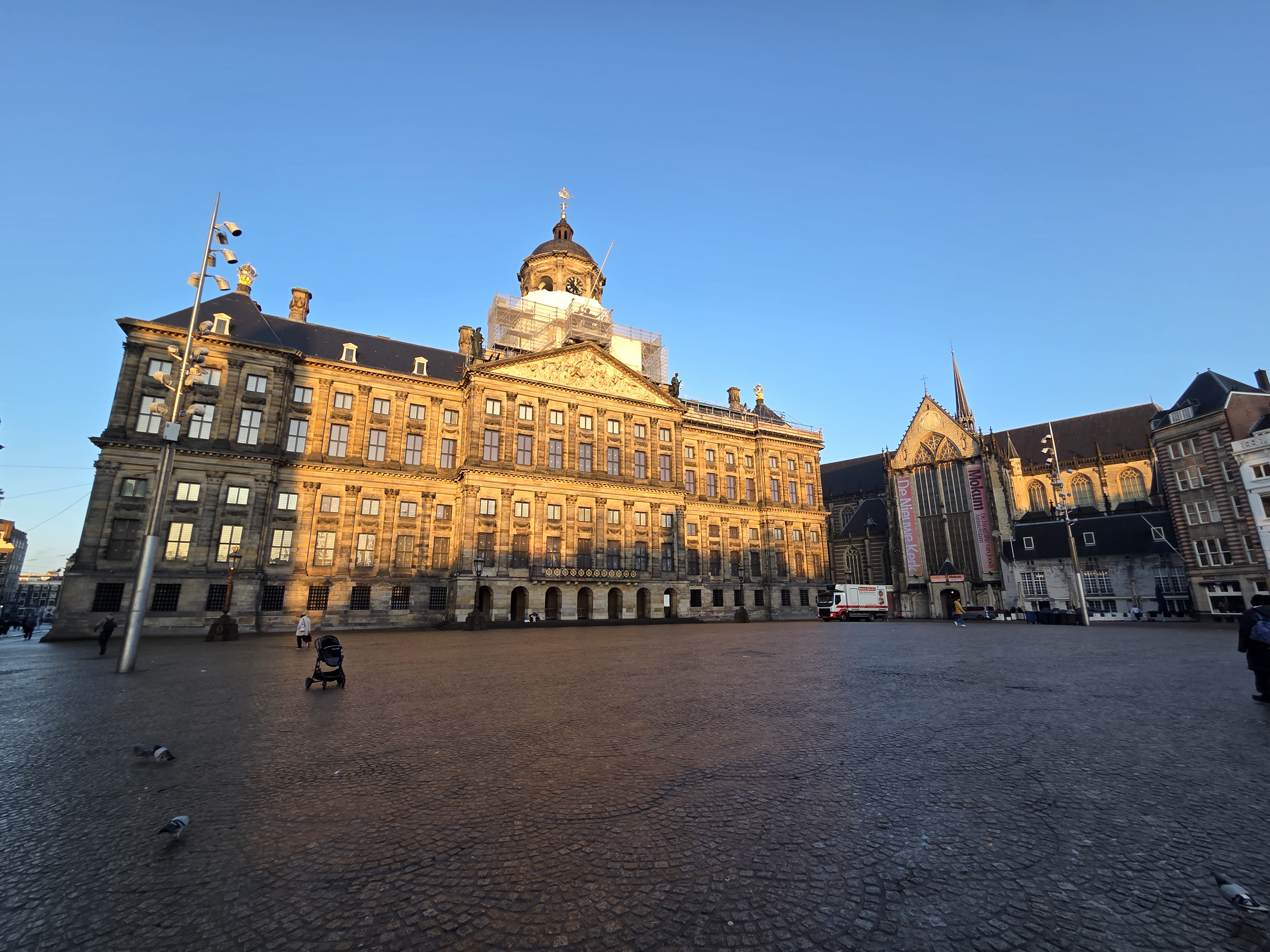
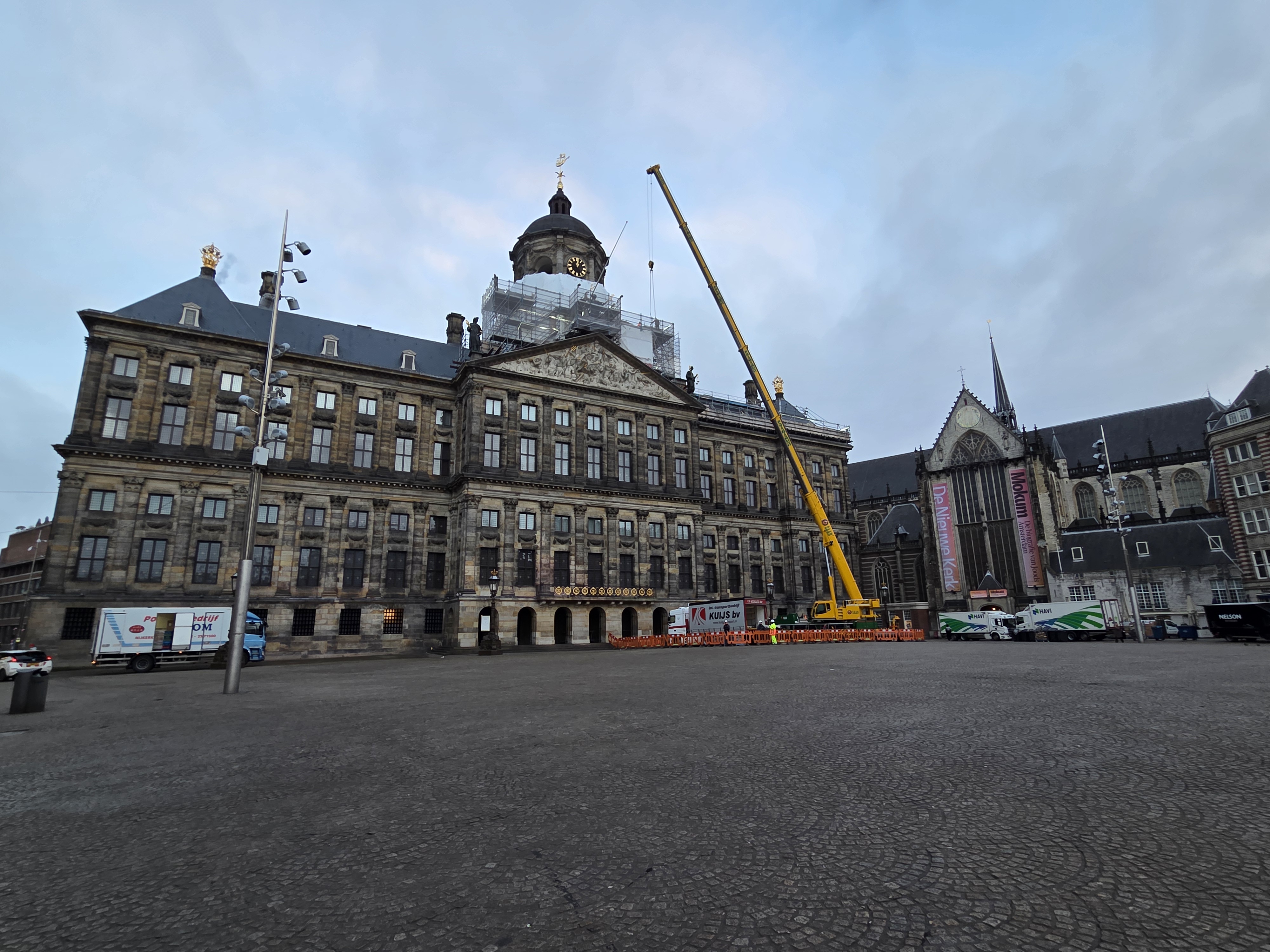
They’ve been steadily renovating and sprucing up Amsterdam’s Royal Palace – never a residence, only where the the royal head of state holds state meetings when in A’dam – for quite a while now. The gold ornaments on the roof are looking nice and shiny and, spoiler alert, I’ve managed a few more legit royal-adjacent digs visits recently, so we’ll very soon be showing you this view again- next time with sunshine :-).
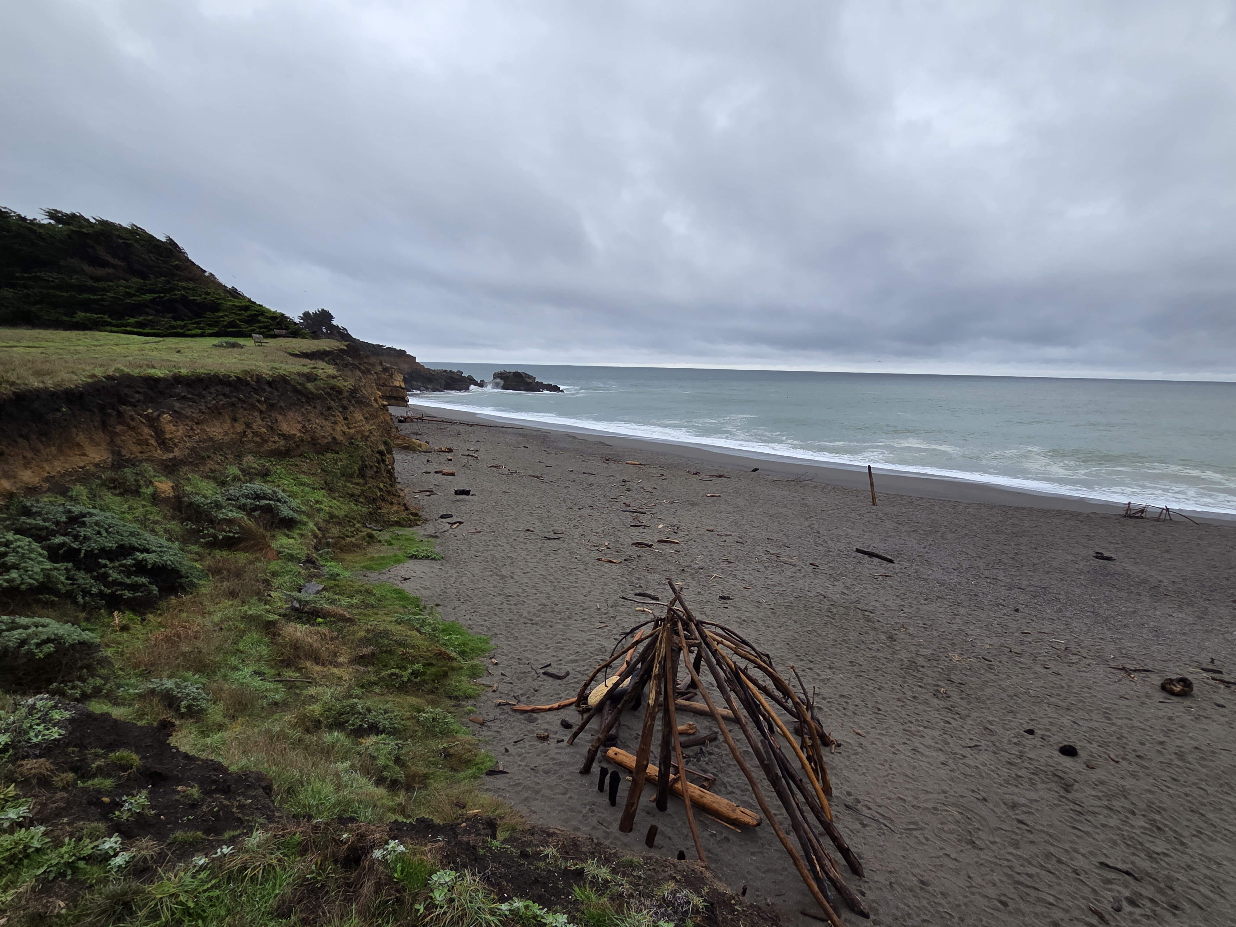
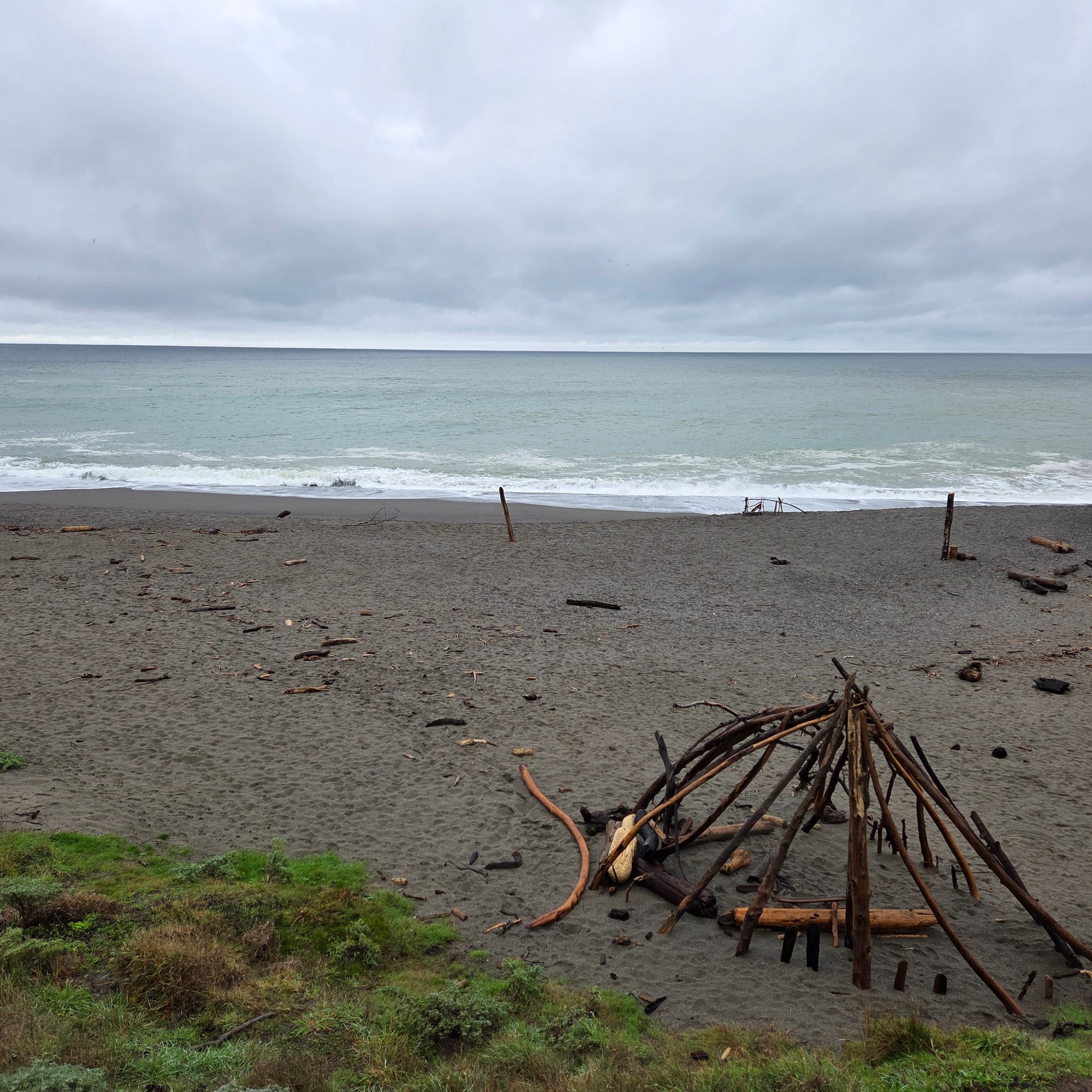
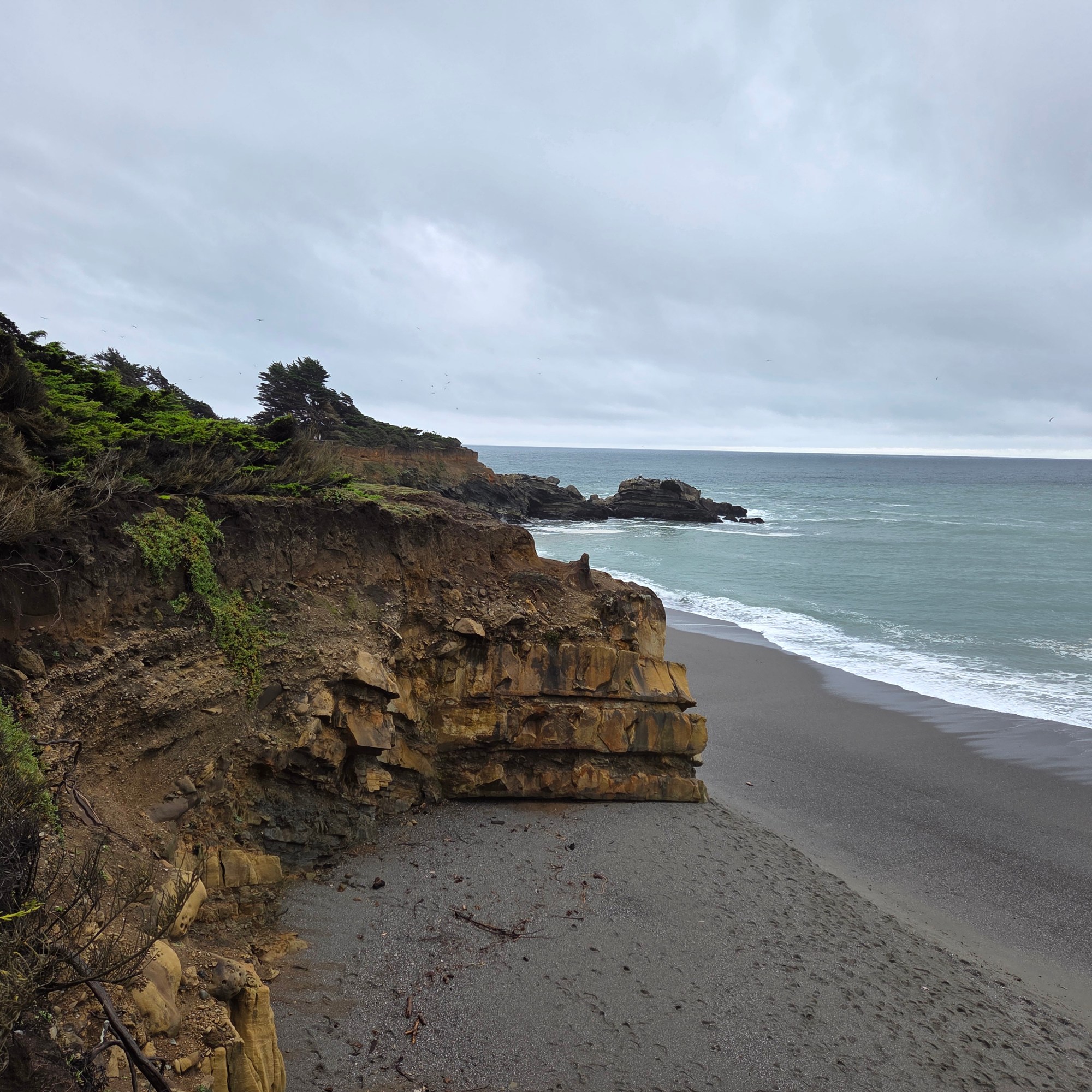
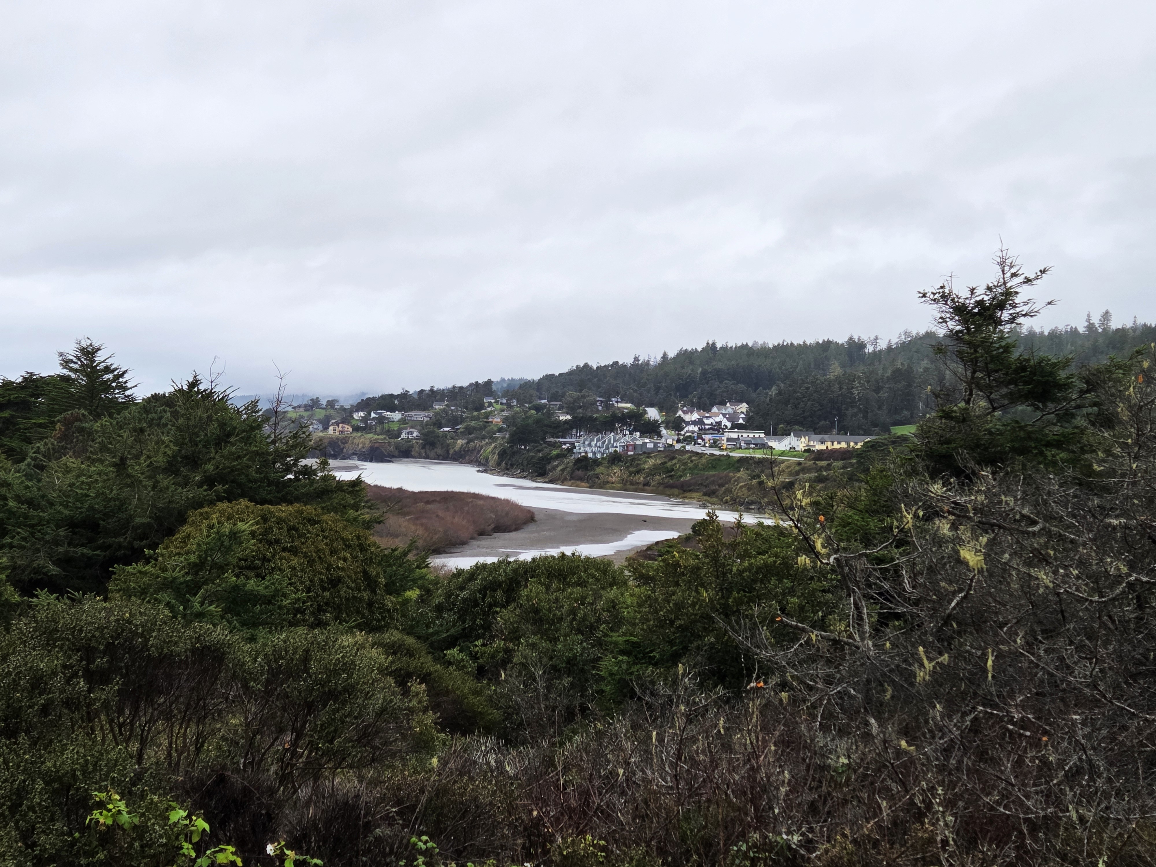
The Mendocino-county village of Gualala, as seen from the south side of the Gualala River, from Sonoma County. Lovely coastal drive to start my new year, followed by a lovely movie with dear friends. Already more than two months ago, yikes!
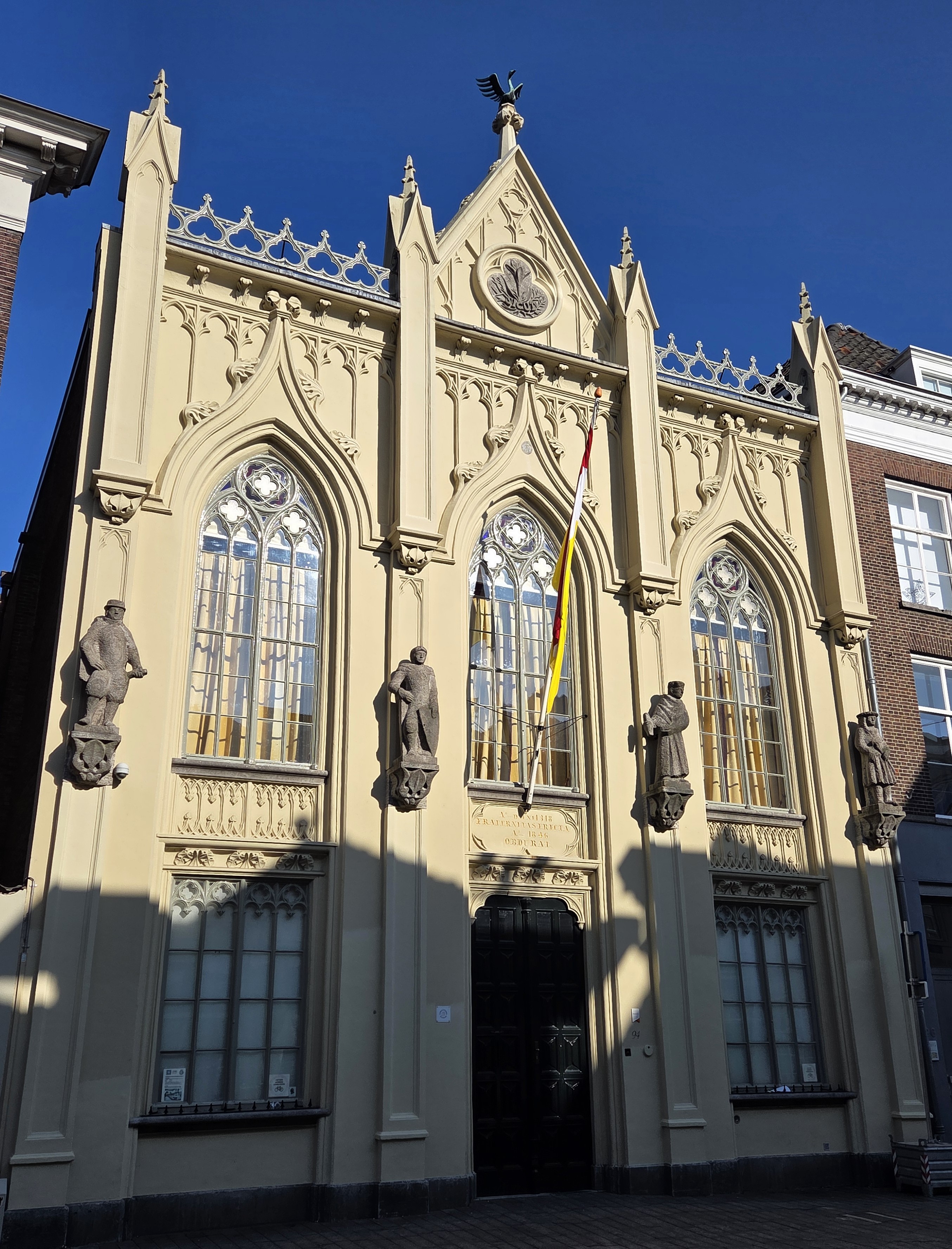
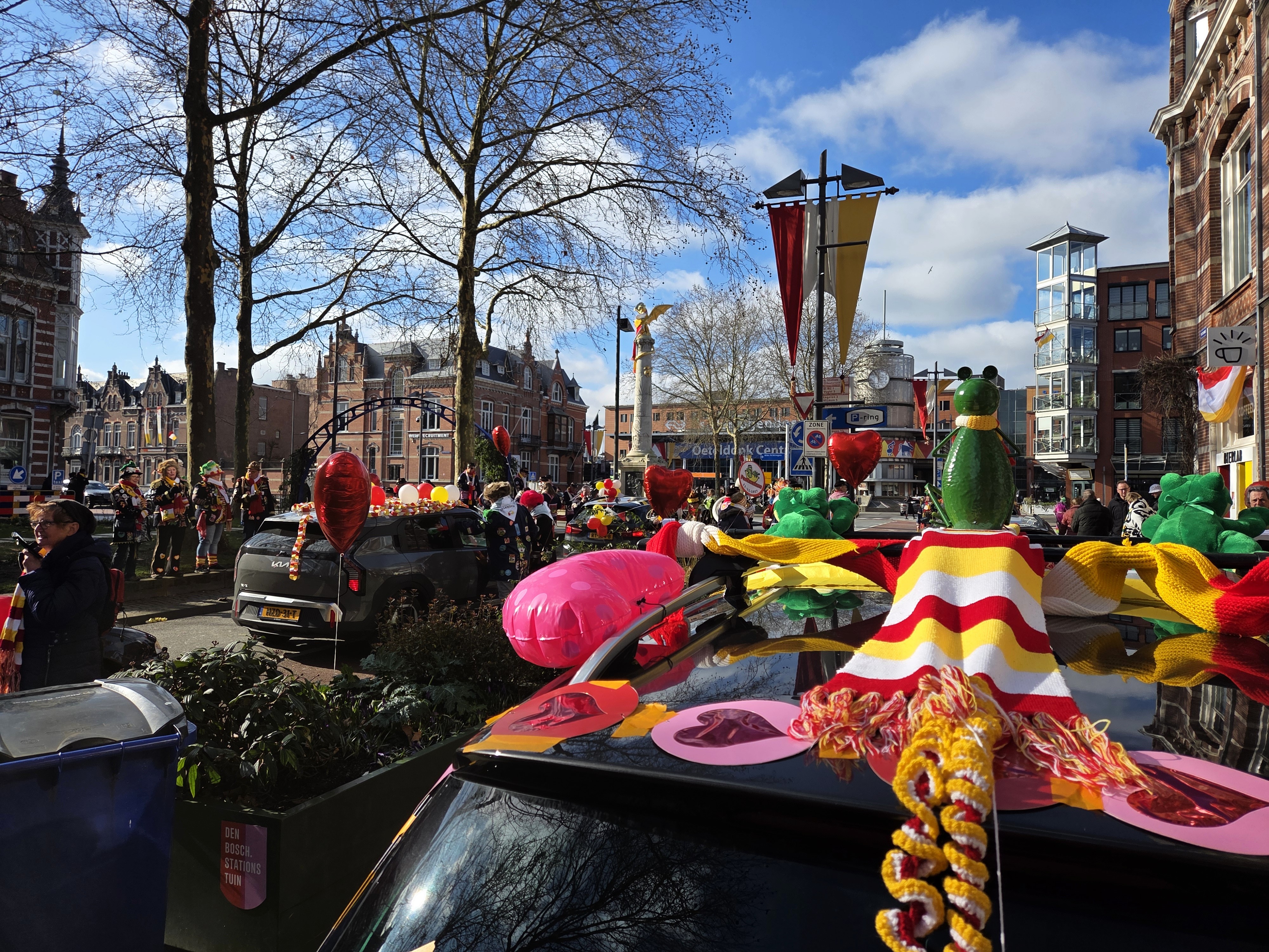
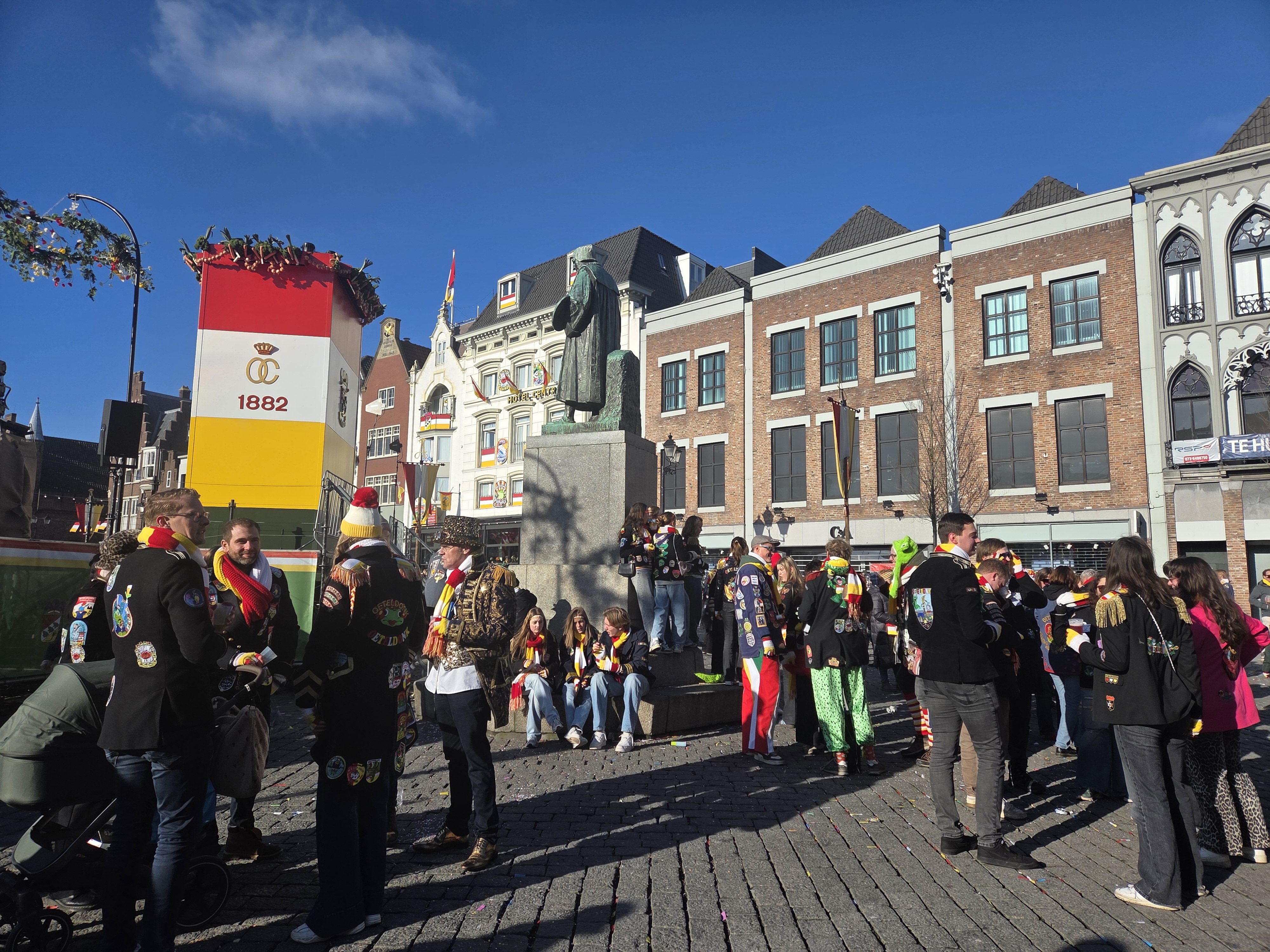
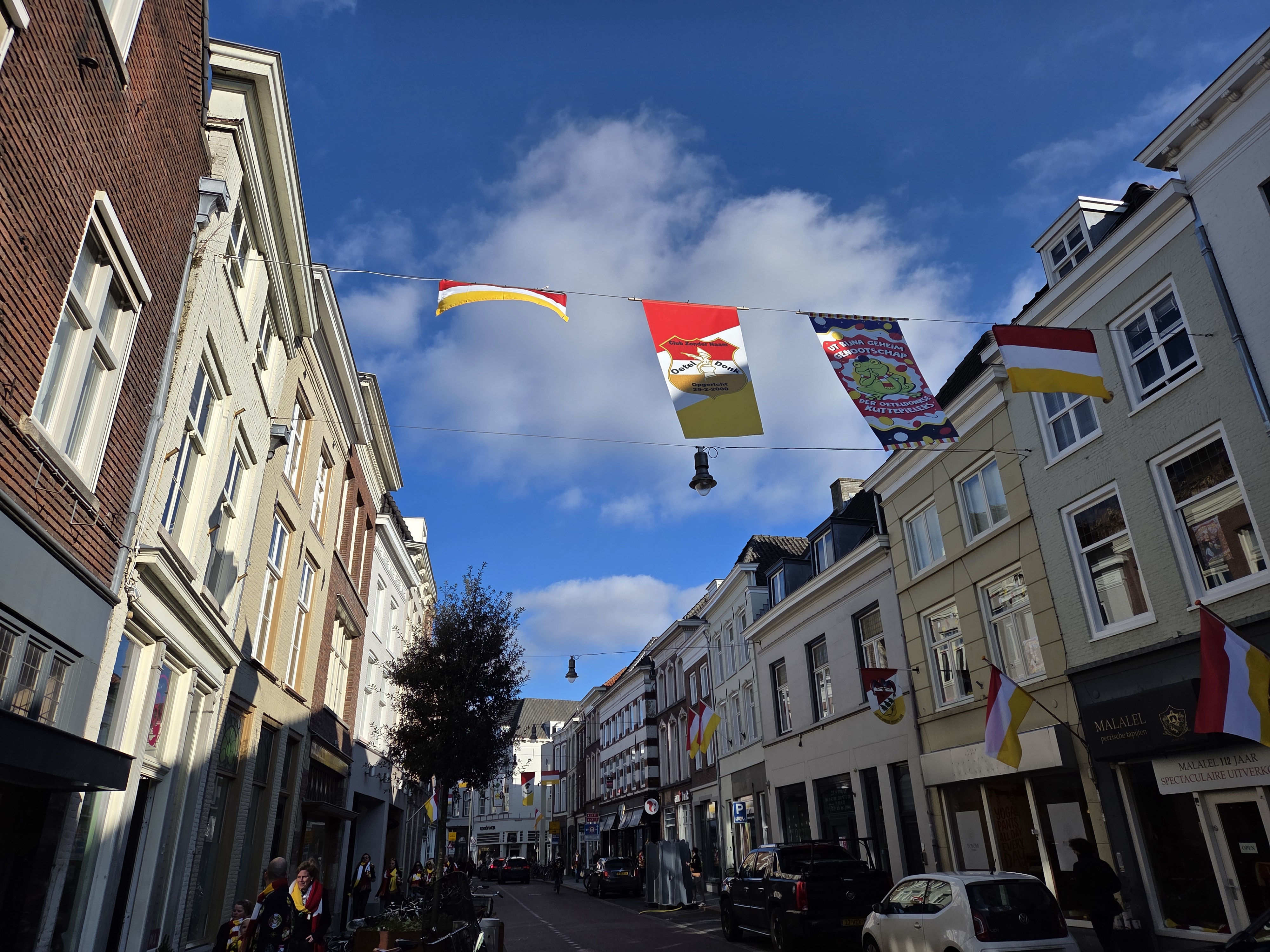
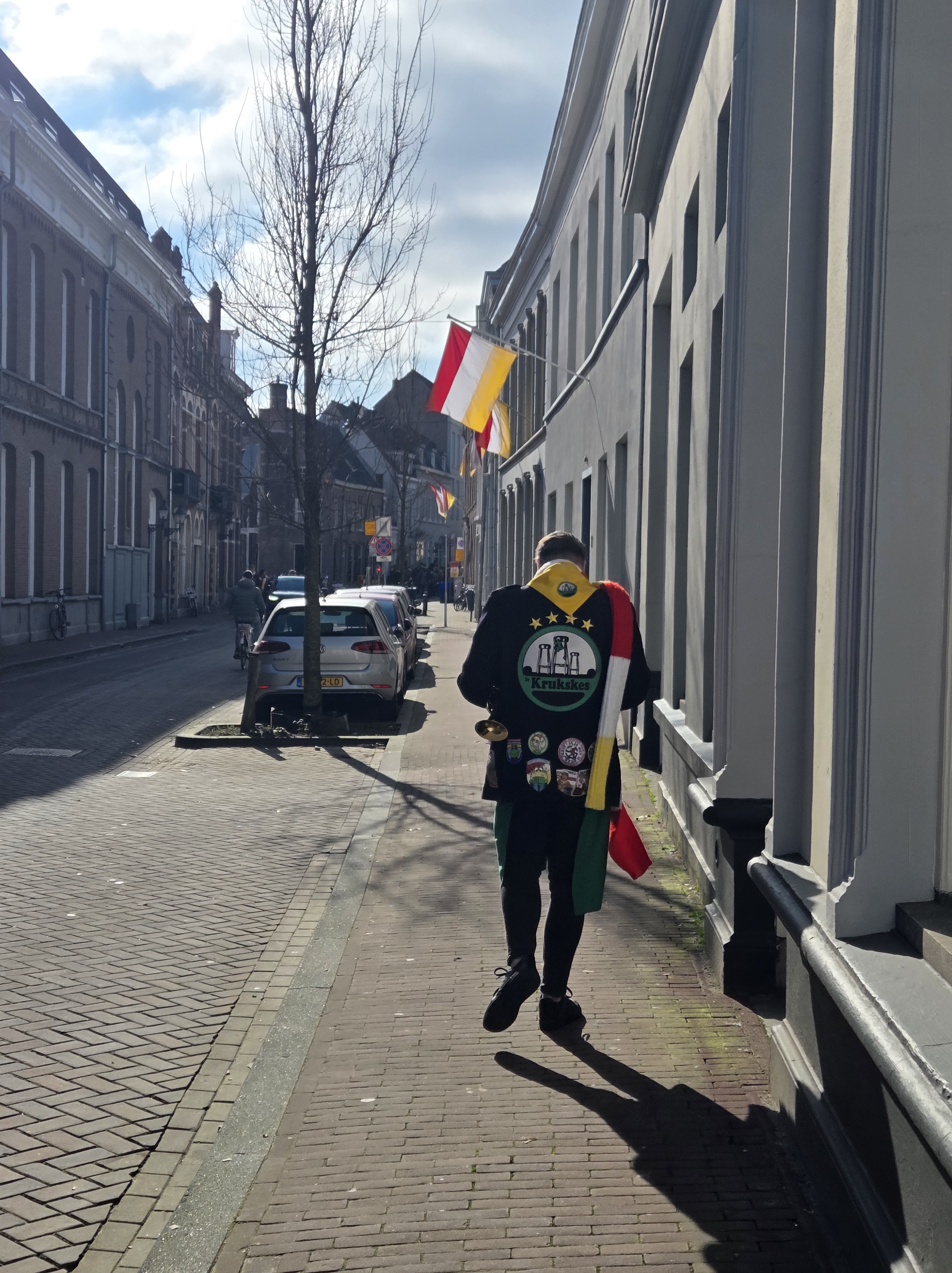
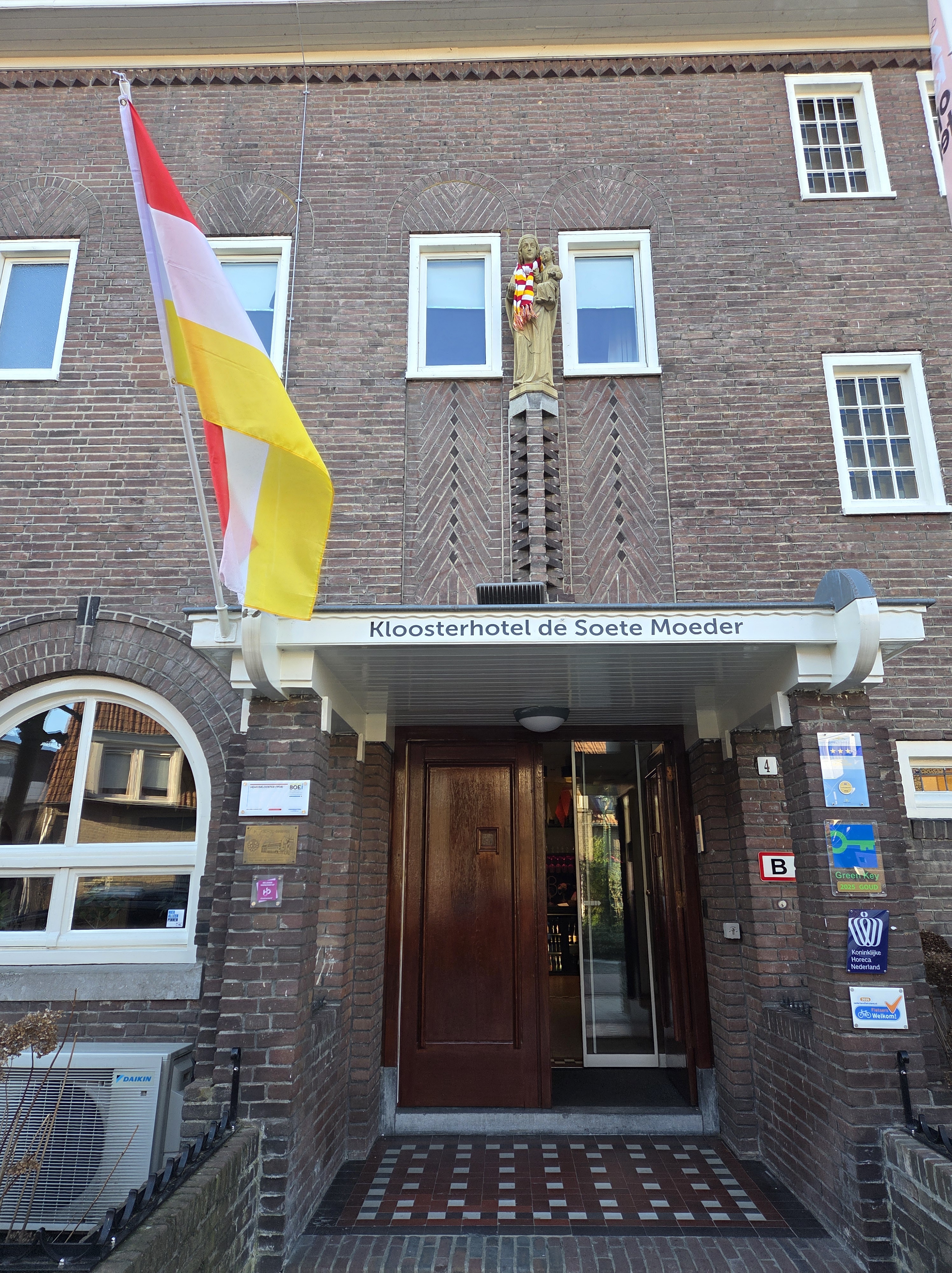
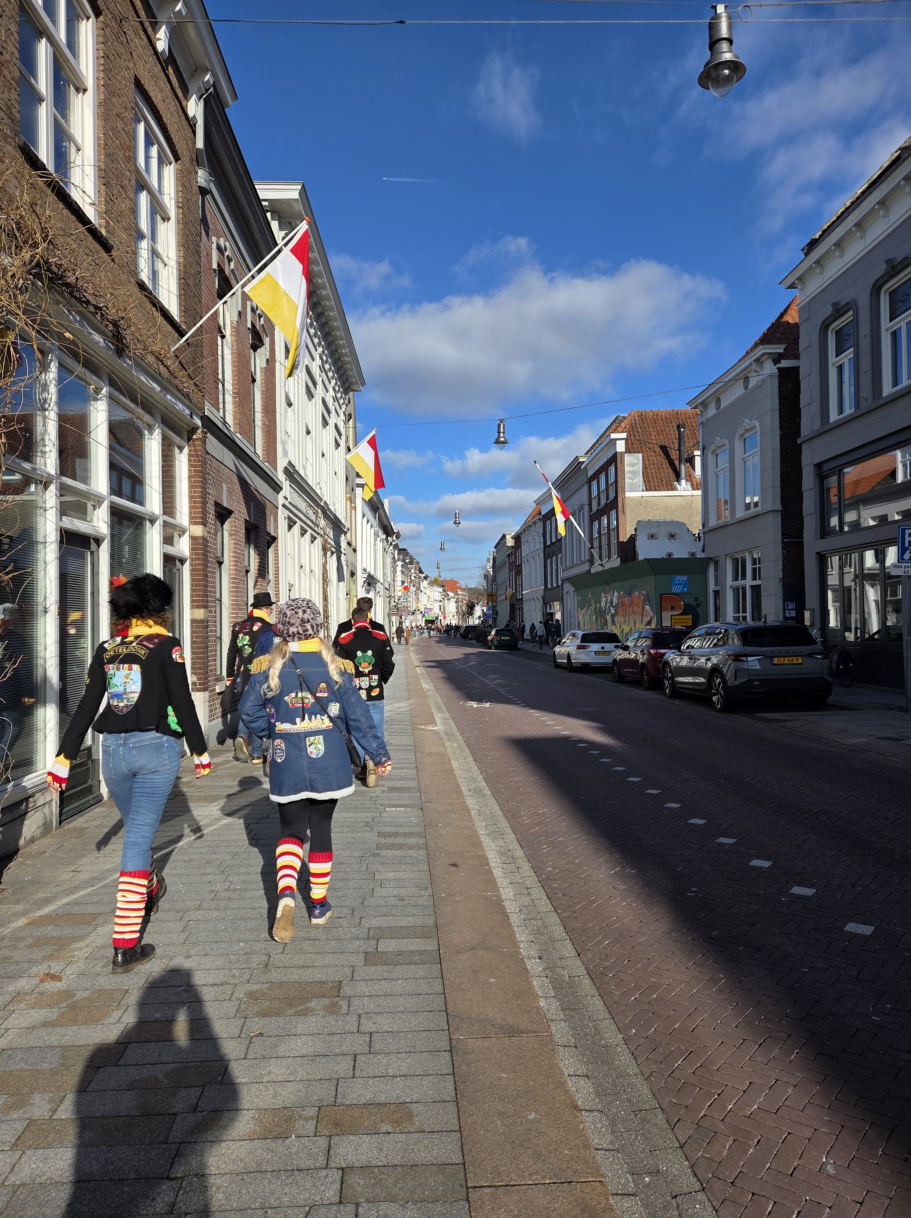
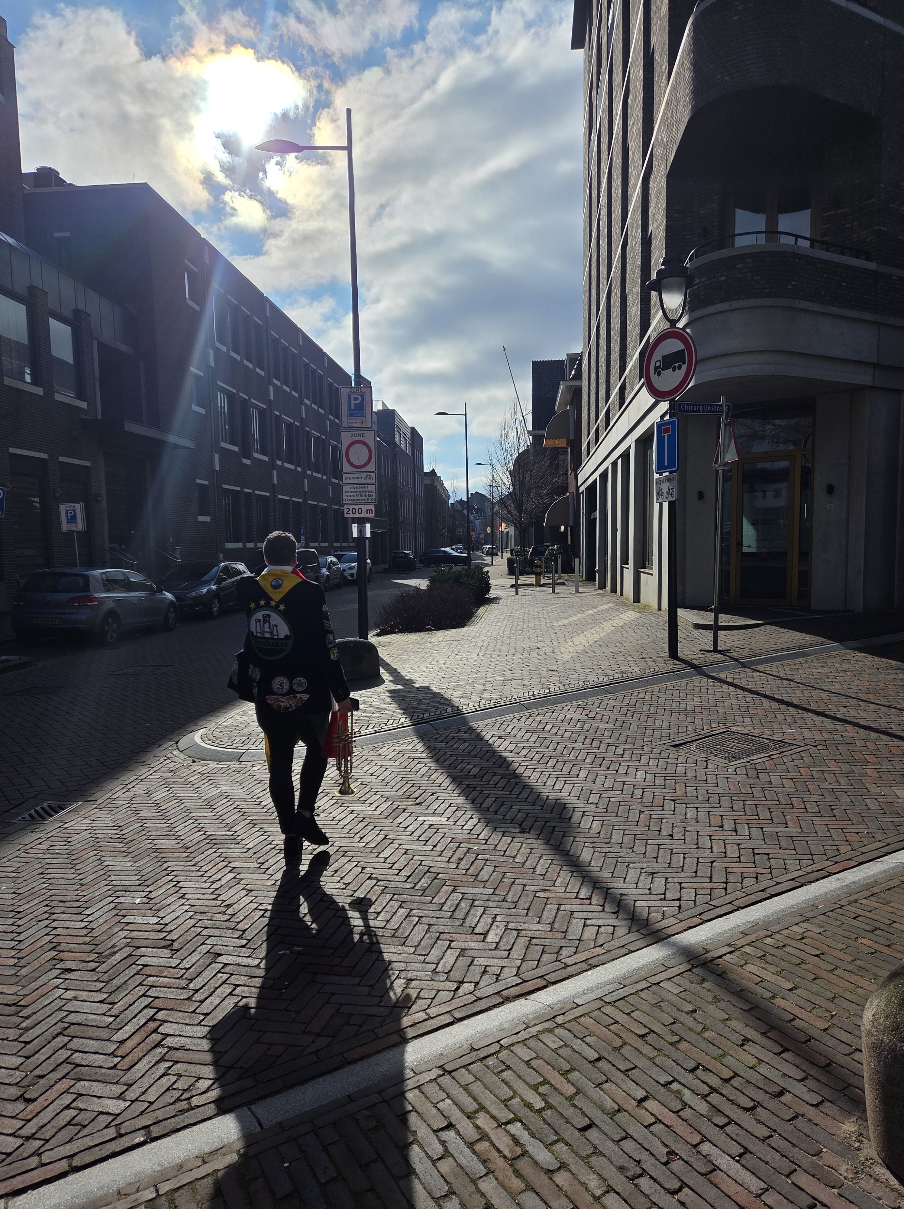
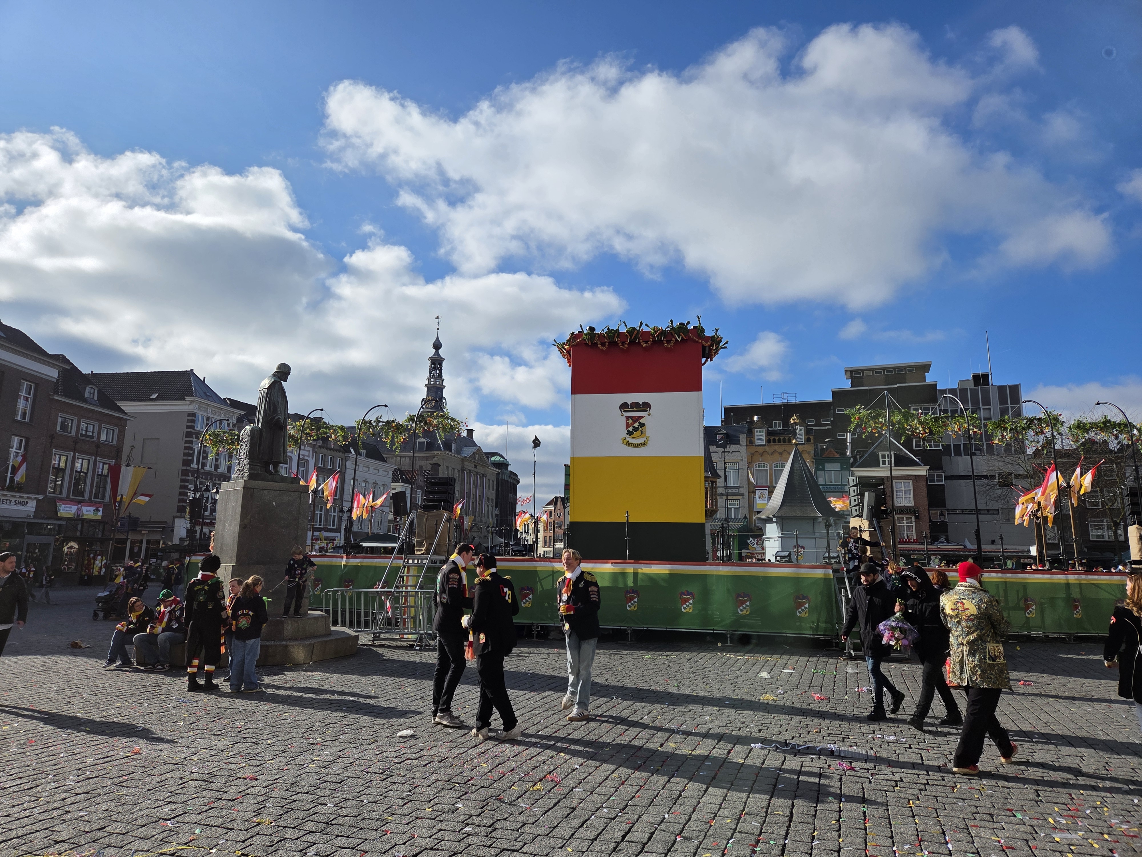
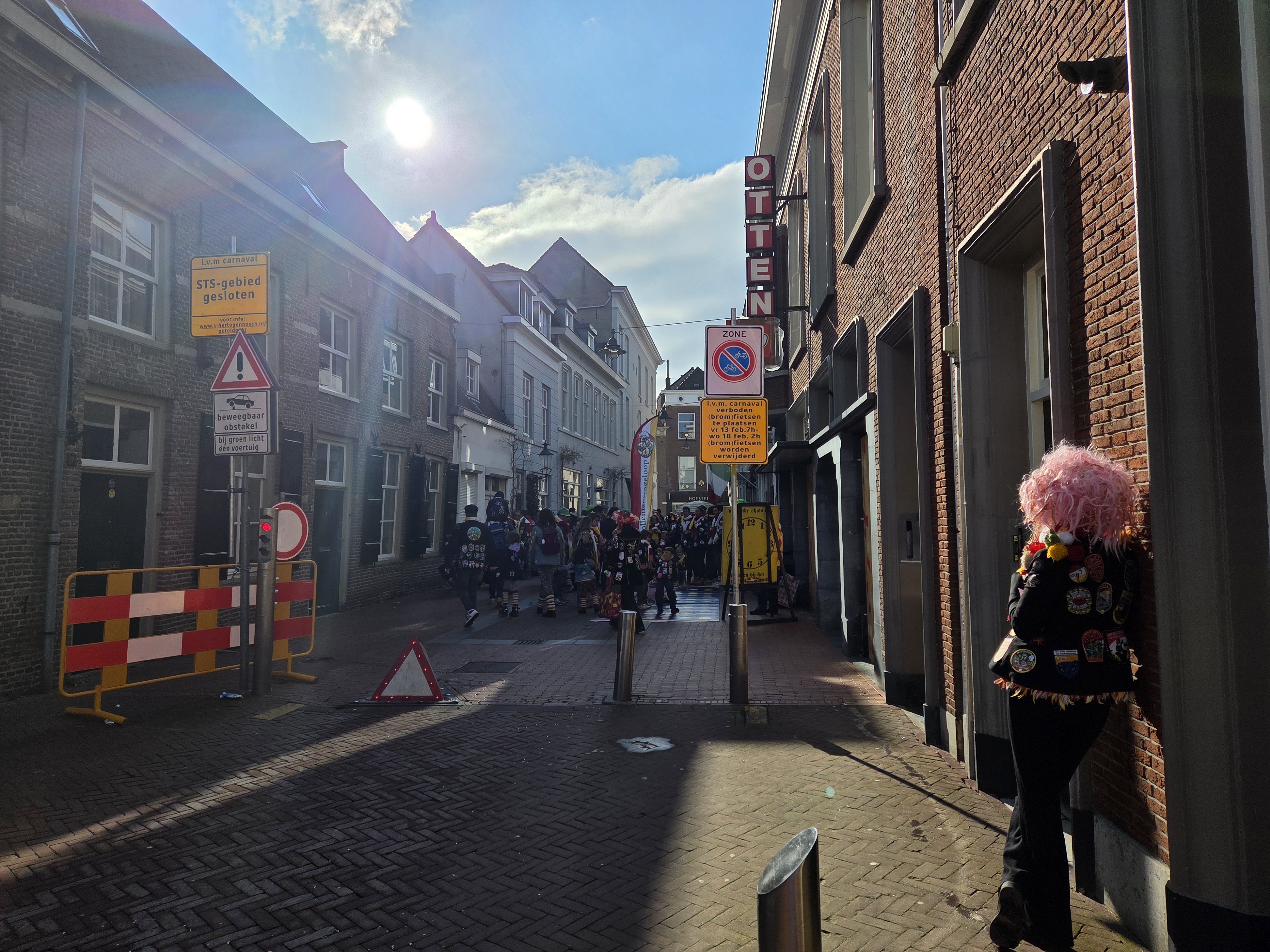
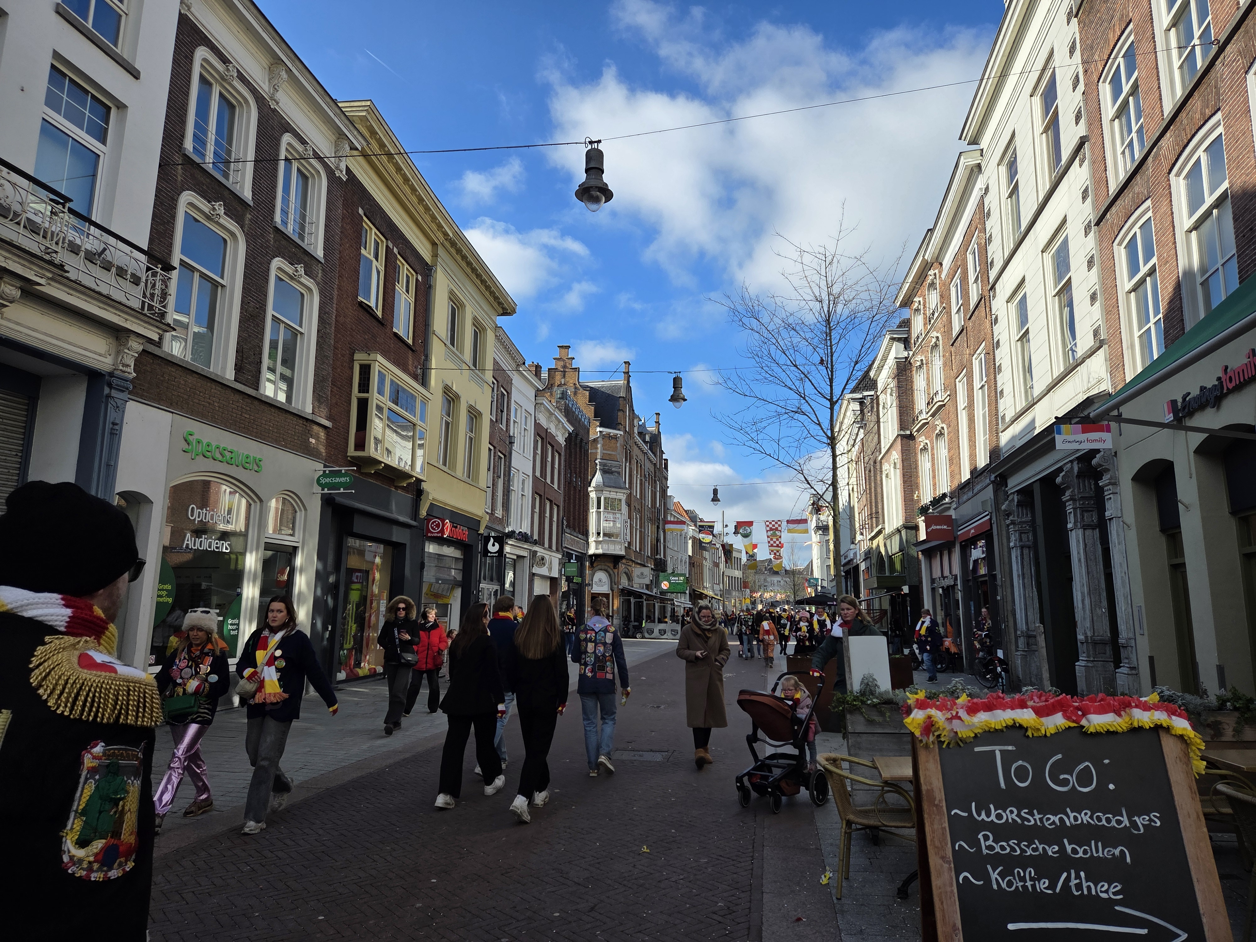
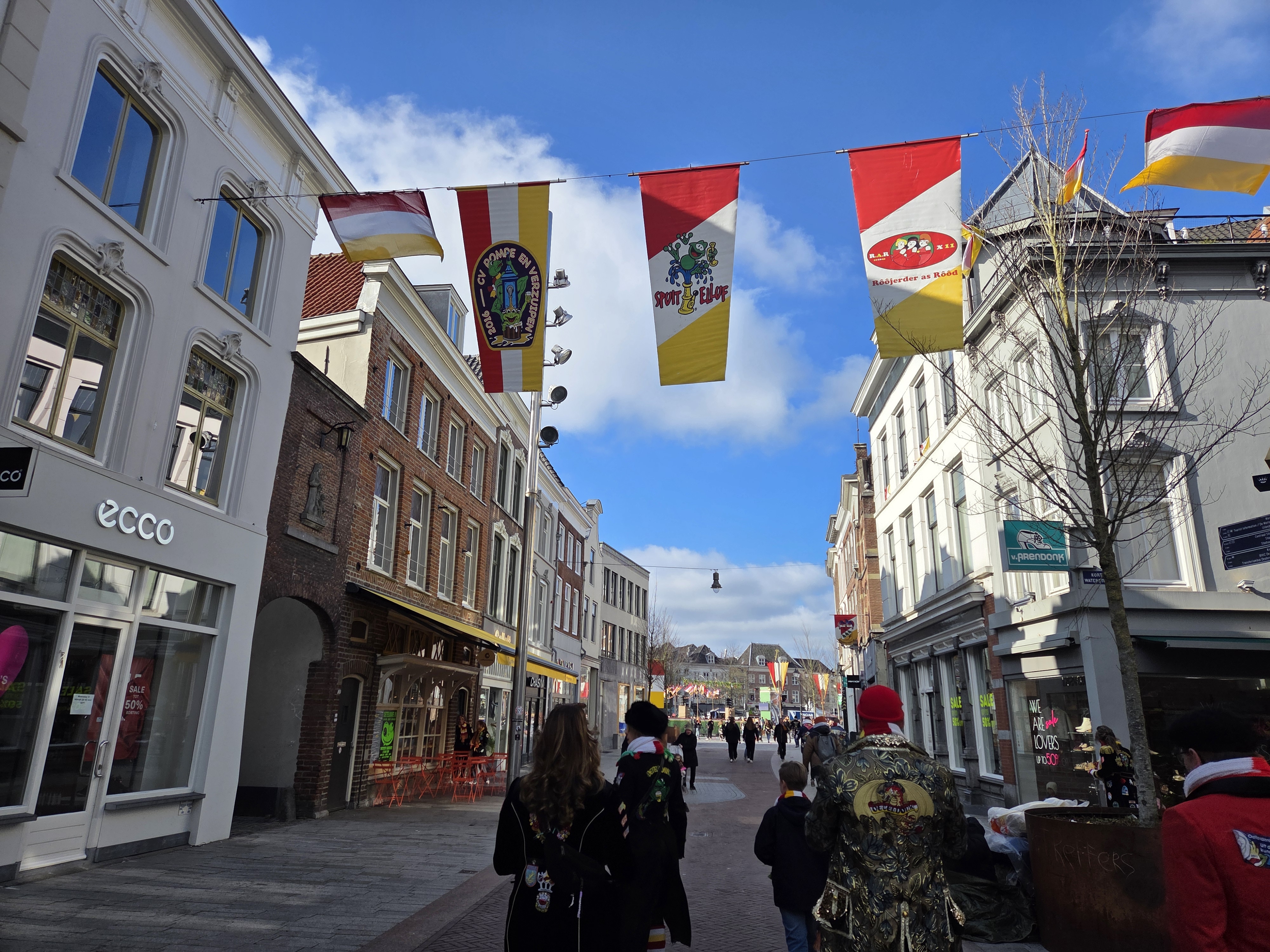
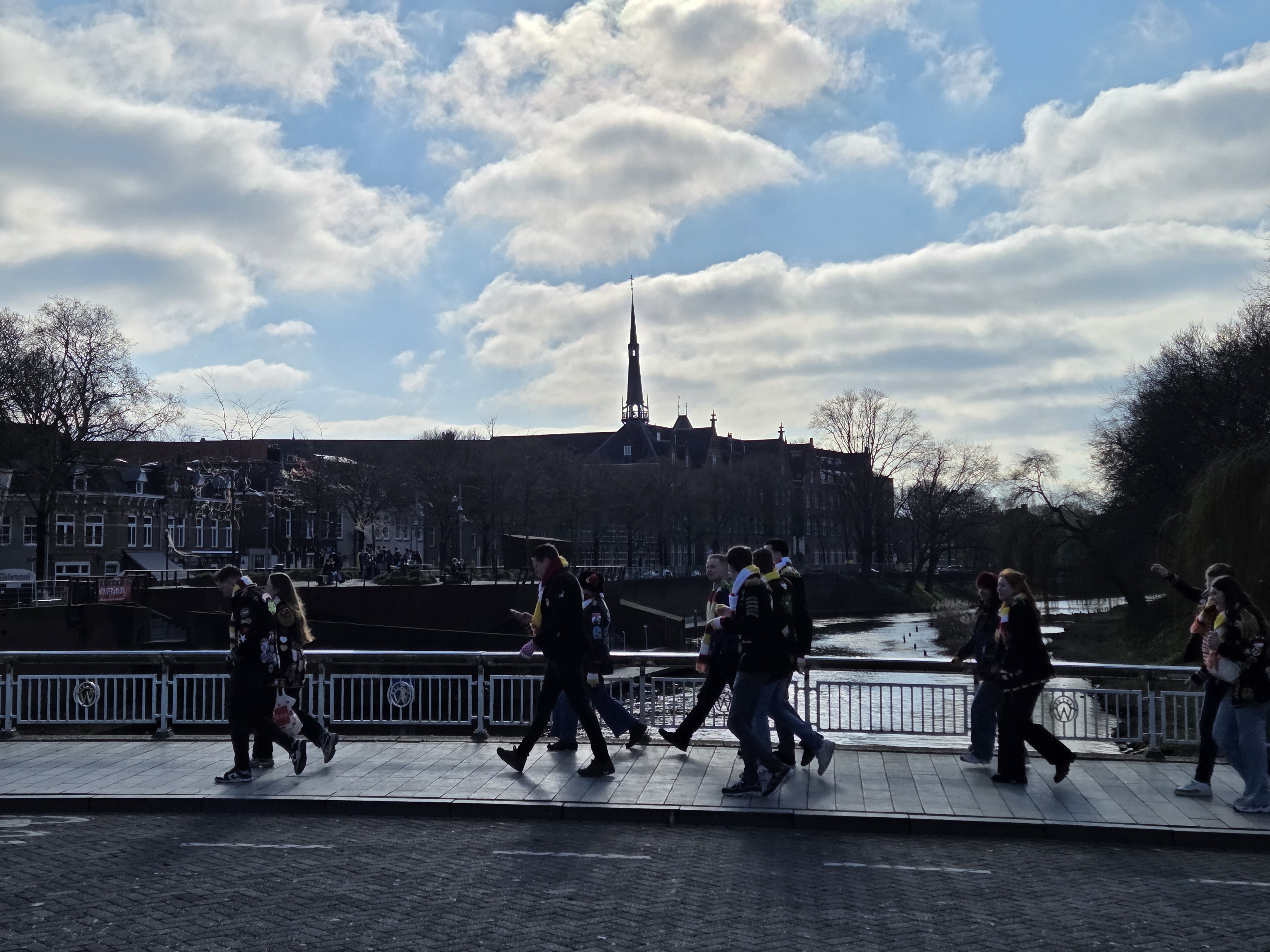
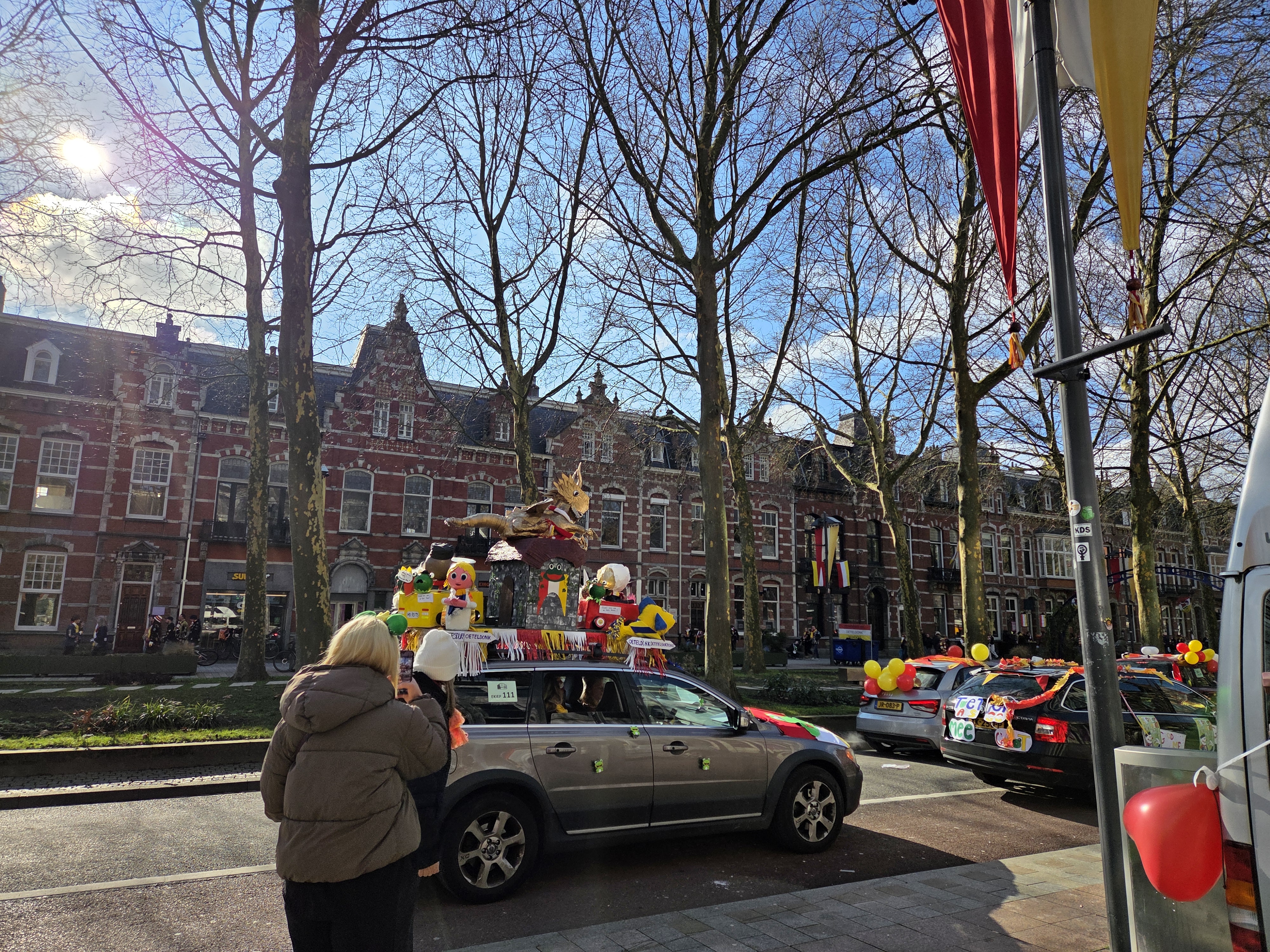
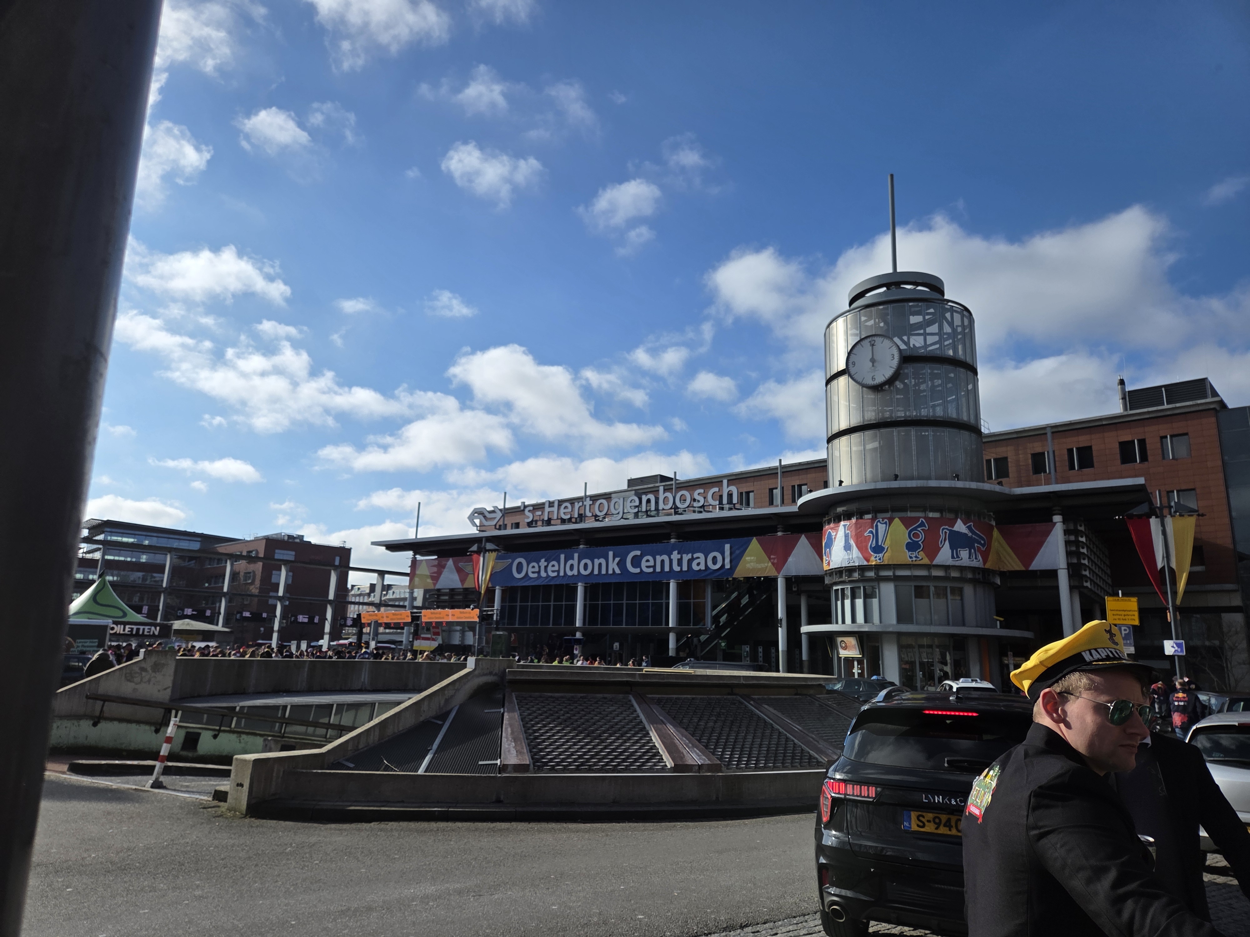
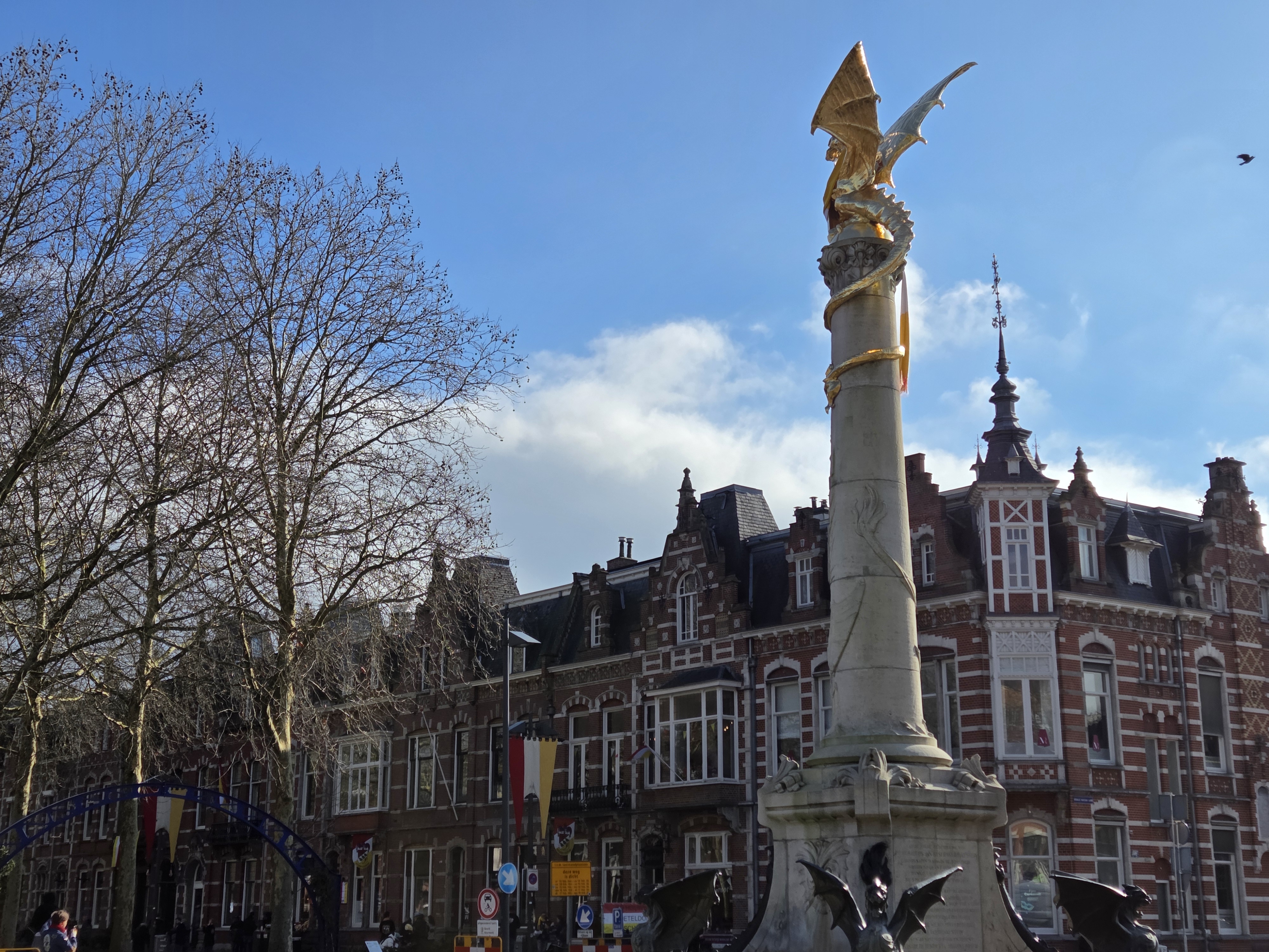
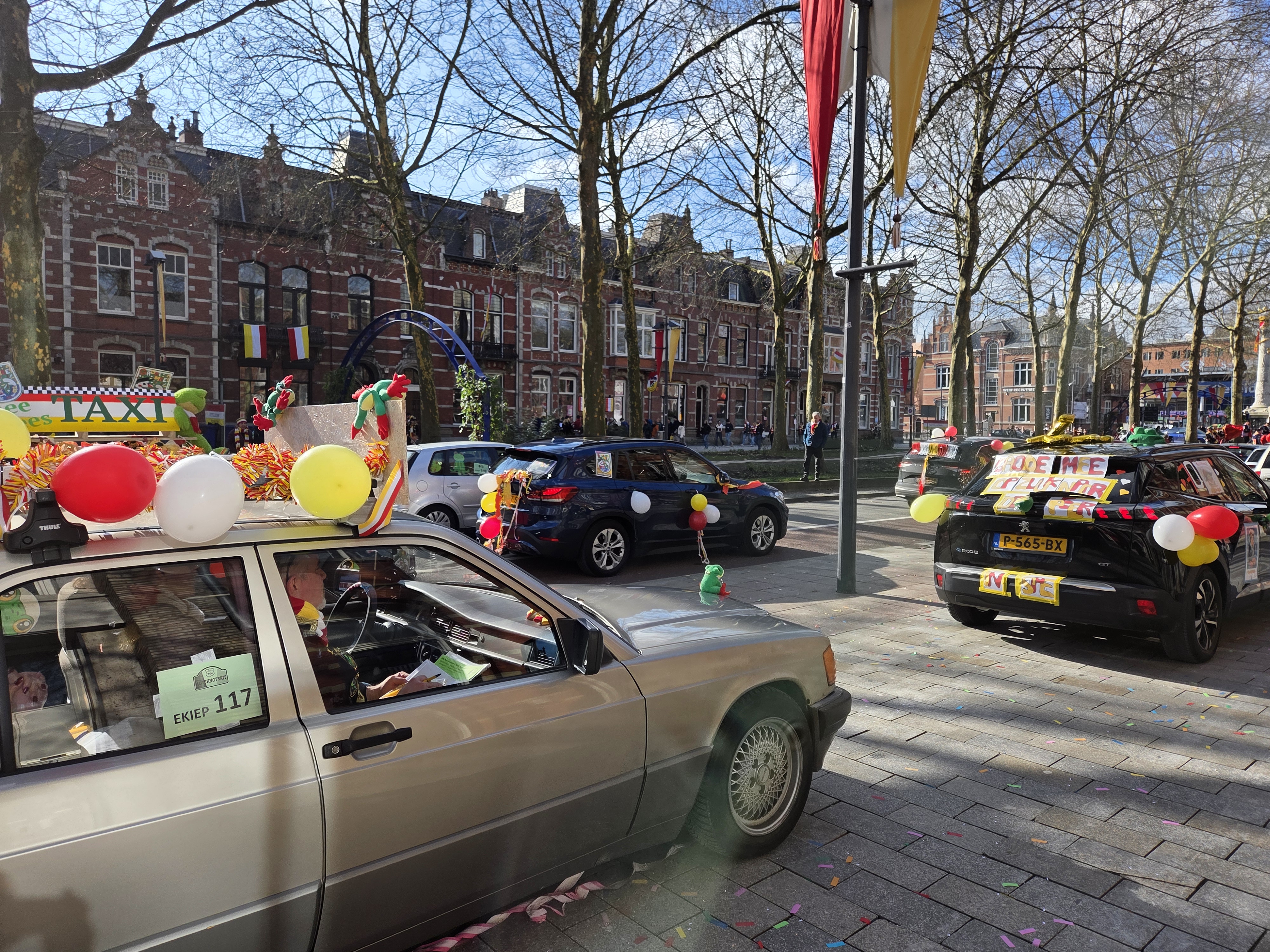
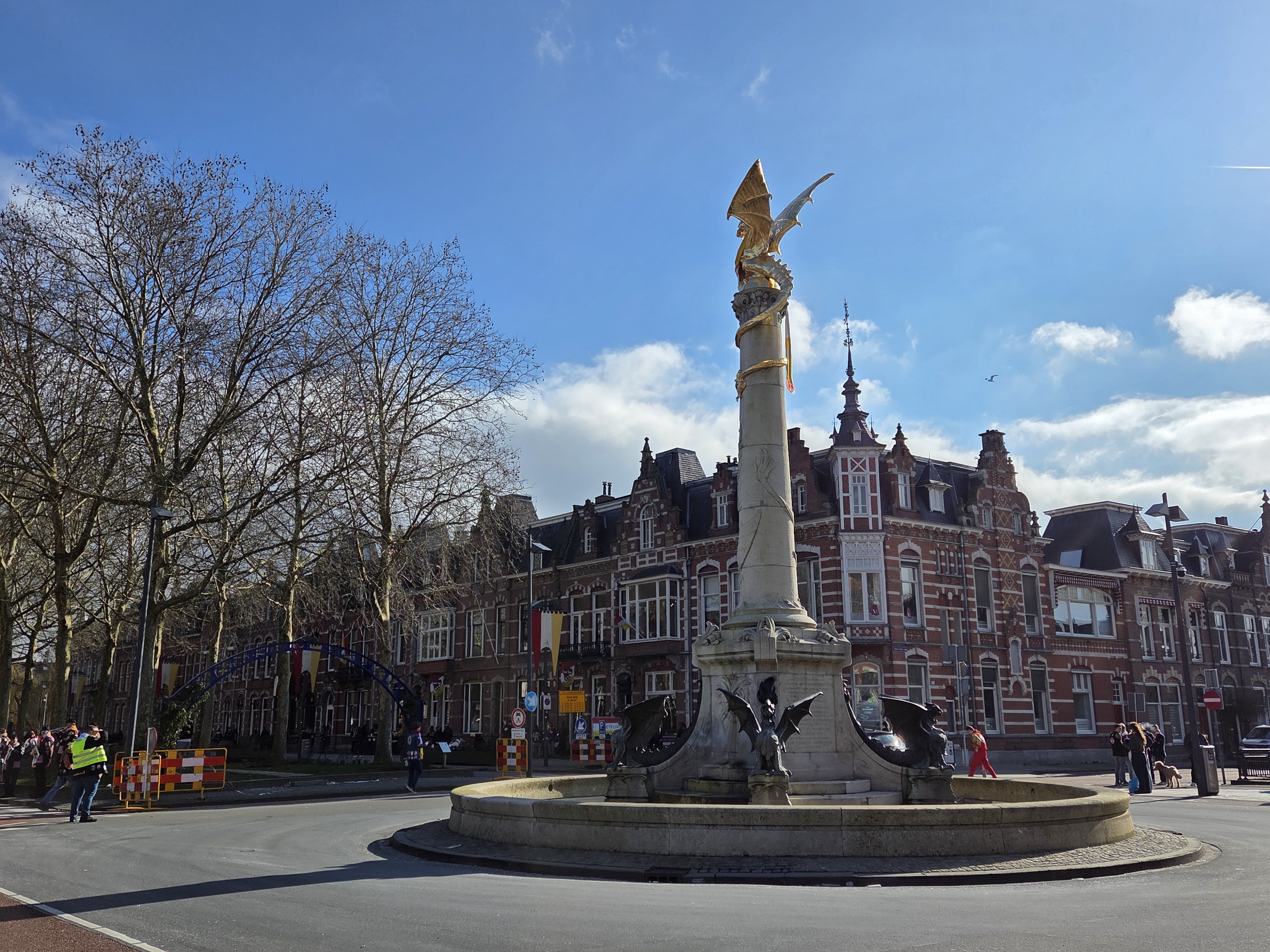
Recently I promised more photos from den Bosch, et voila. I (and work) treated me to a week of intensive Dutch at a school just south of the city, which ended on the weekend of Carnaval. Den Bosch is one of the two main provincial capitals in which I’ve always heard they take the whole Carnaval thing seriously. Above is the Saturday car parade with Den Bosch Centraal train station in the background: frogs, the red – white – yellow, jackets (usually black) with many patches, and general festivity are the theme. Below, more from Saturday and Sunday.