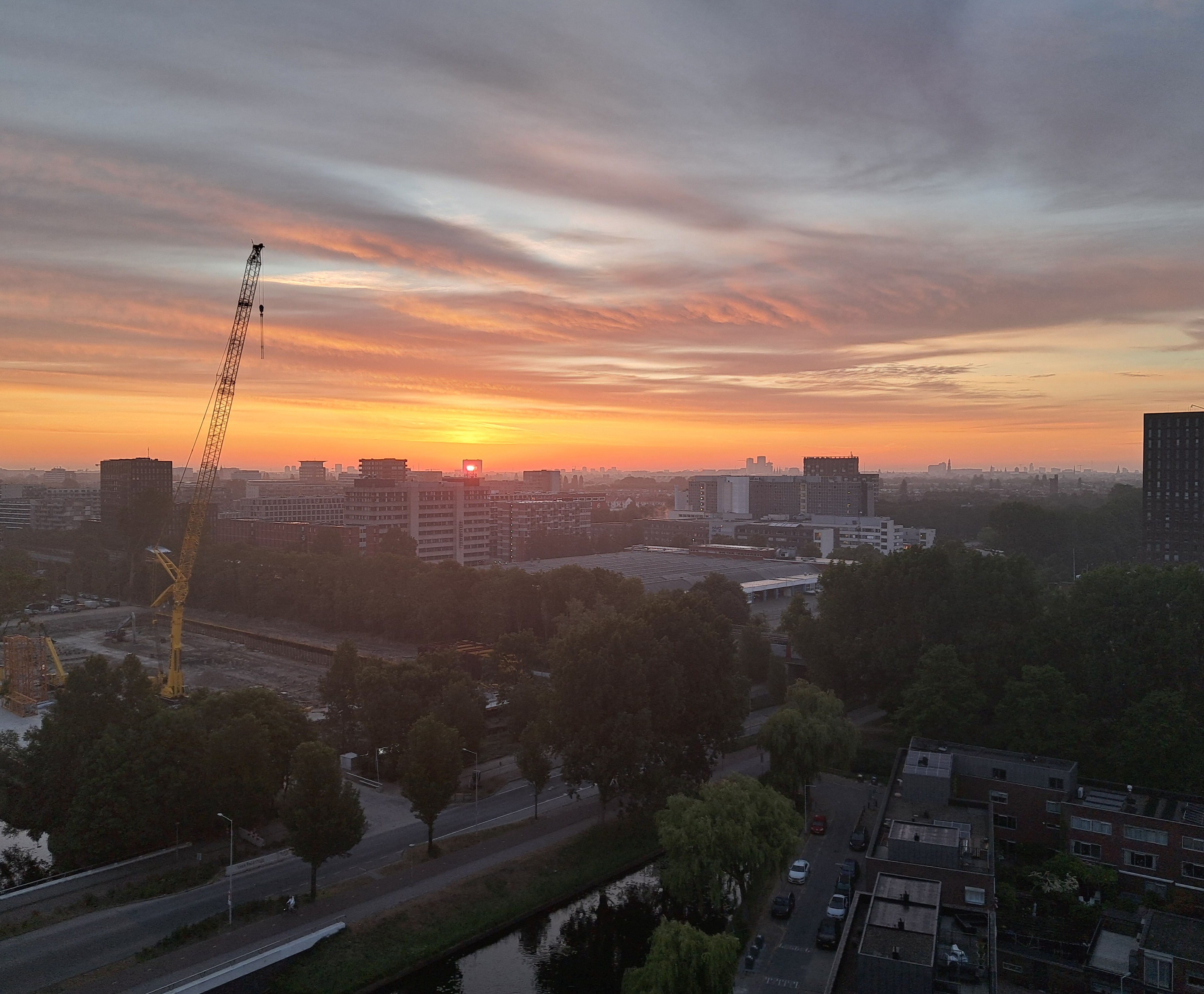
That was 5:21am on May 21st, as the sun was still moving further north; it passed back through this building on its way back south, about July 21. I was out of town then so I missed it. As I miss the sun almost entirely these days, since we’ve reached the period of the year where it doesn’t shine through on this north side of my apartment, but only for a short bit of the afternoon from my western and one southern window. Ah well. Below, you can see both how the building site across the street from me was progressing three weeks later, and how much farther the sun had moved north, by the 12th of June. I should remember to take a photo so you can see how far they’ve come on that construction – it’s moving fast.
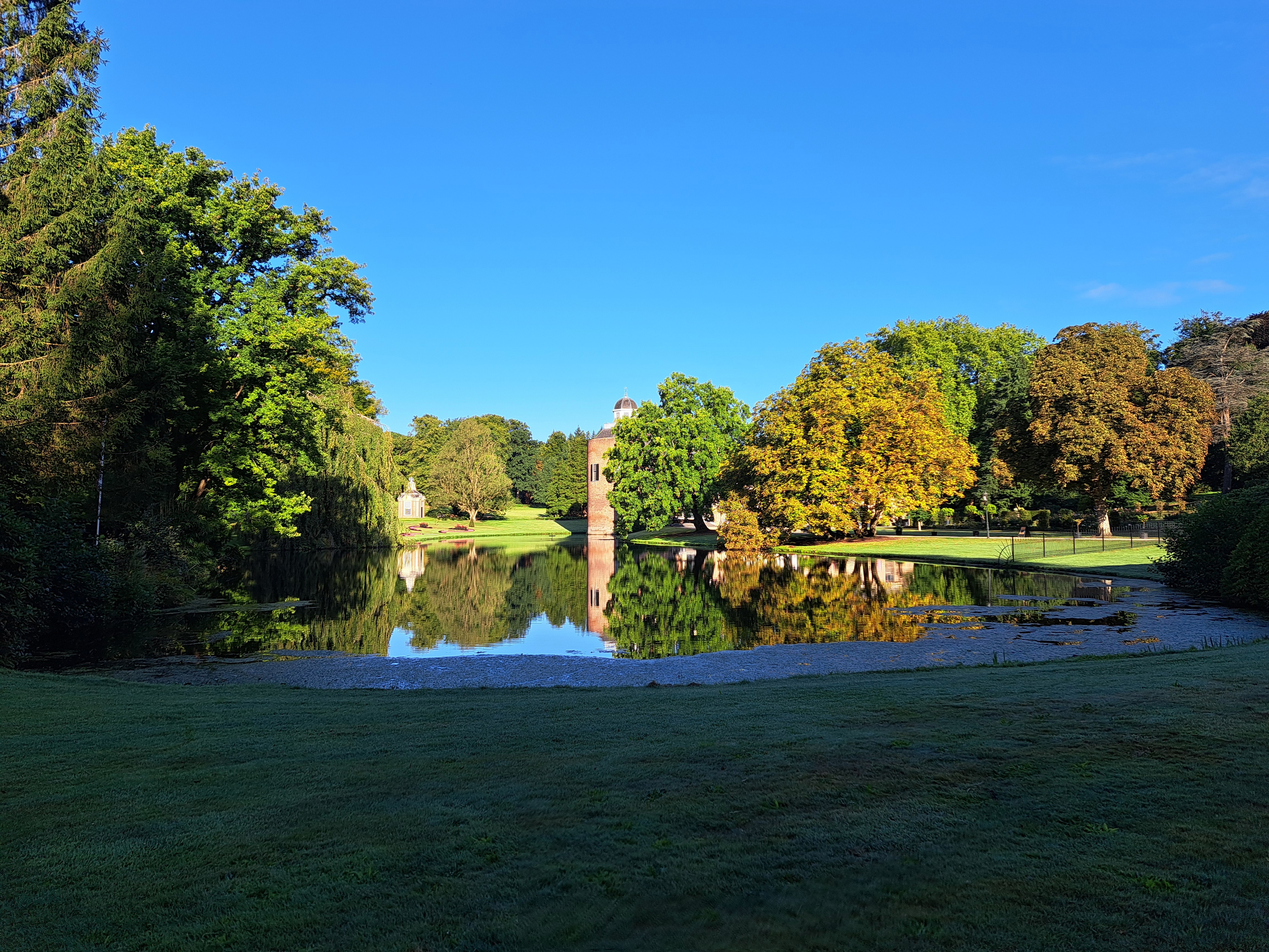
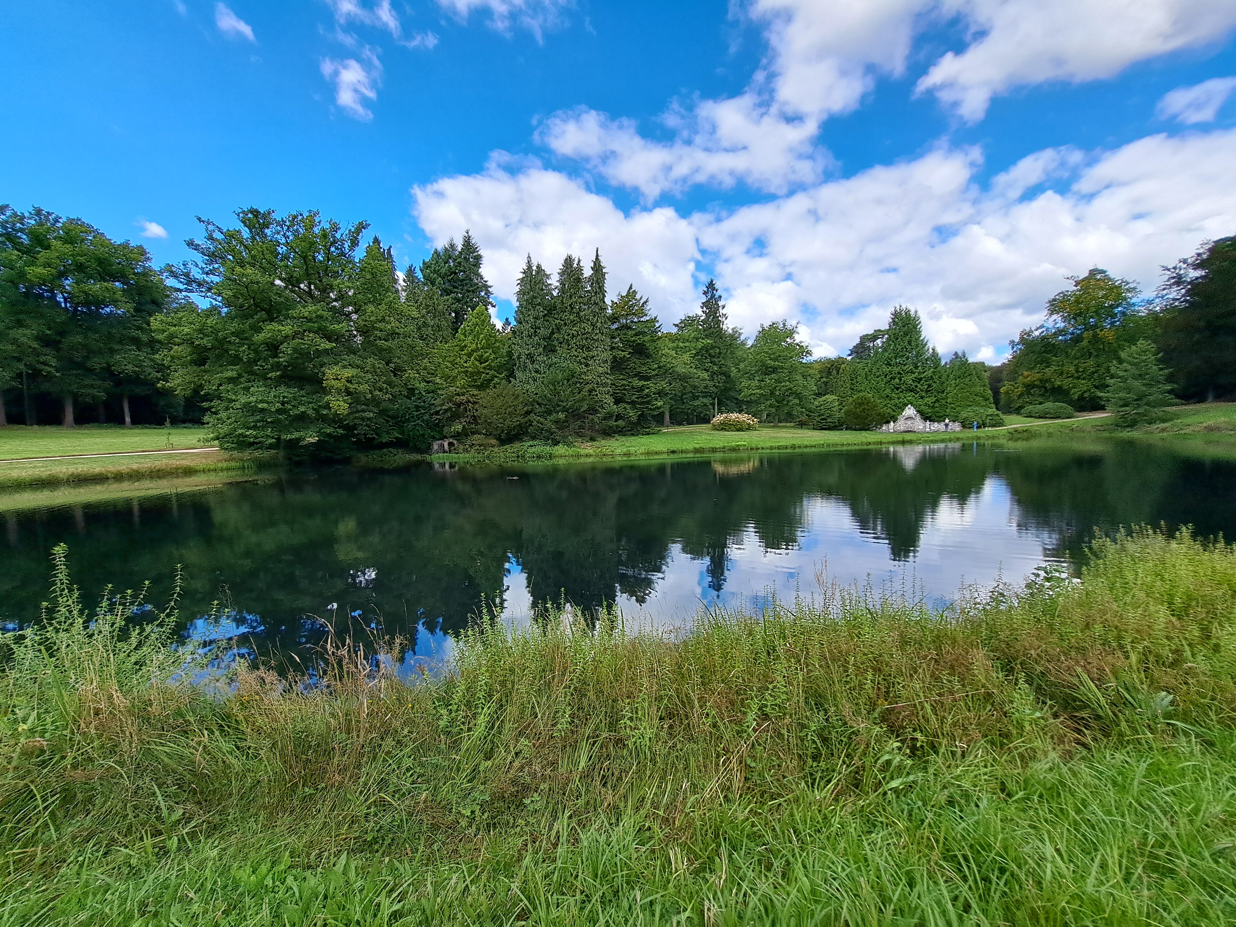
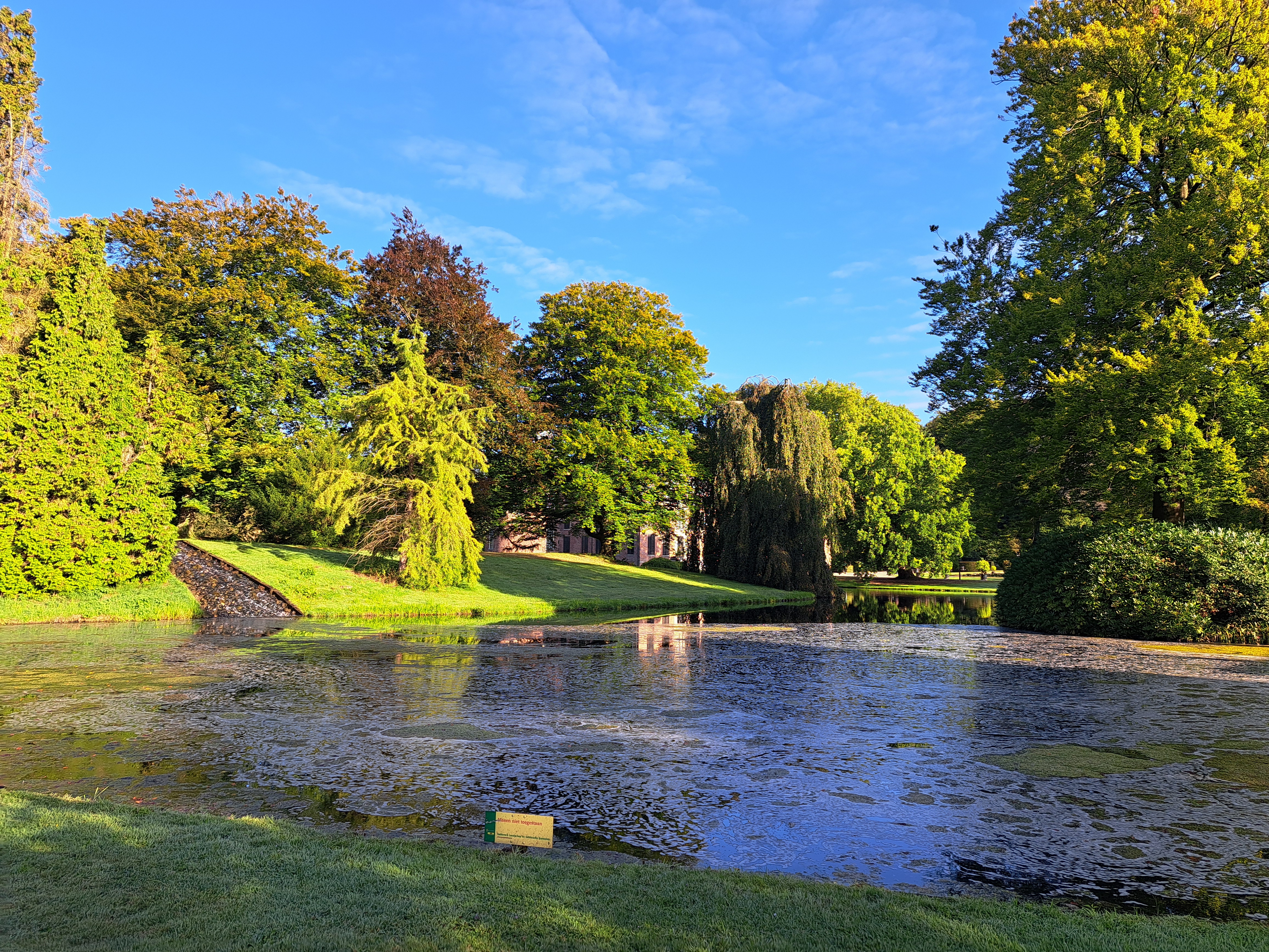
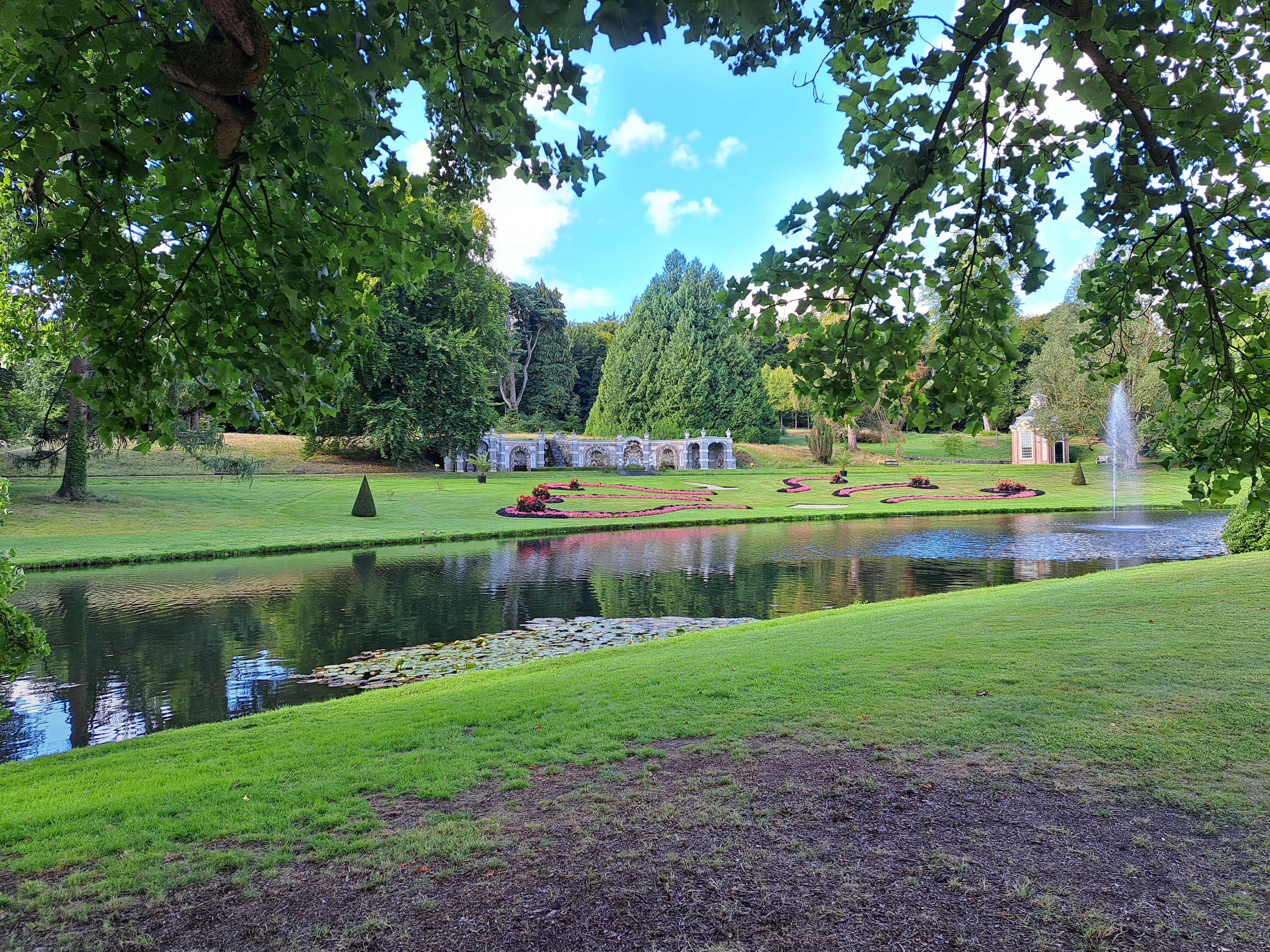
These are your first glimpses of the Castle and Park at Rosendael, a town just uphill from Velp where you may recall I spent two lovely nights at the end of my August bike tour of Central NL.