San Pablo Bay (north end of SF Bay), Richmond-San Rafael Bridge; Sacramento – San Joaquin River Delta stretching east from San Pablo to the Central Valley & Sacramento, with snow-capped Sierras in the distance; Mt Tam, Mill Valley, Sausalito & Marin County bottom right as we flew over on 16 April during that long, photo-productive approach to SF :-).
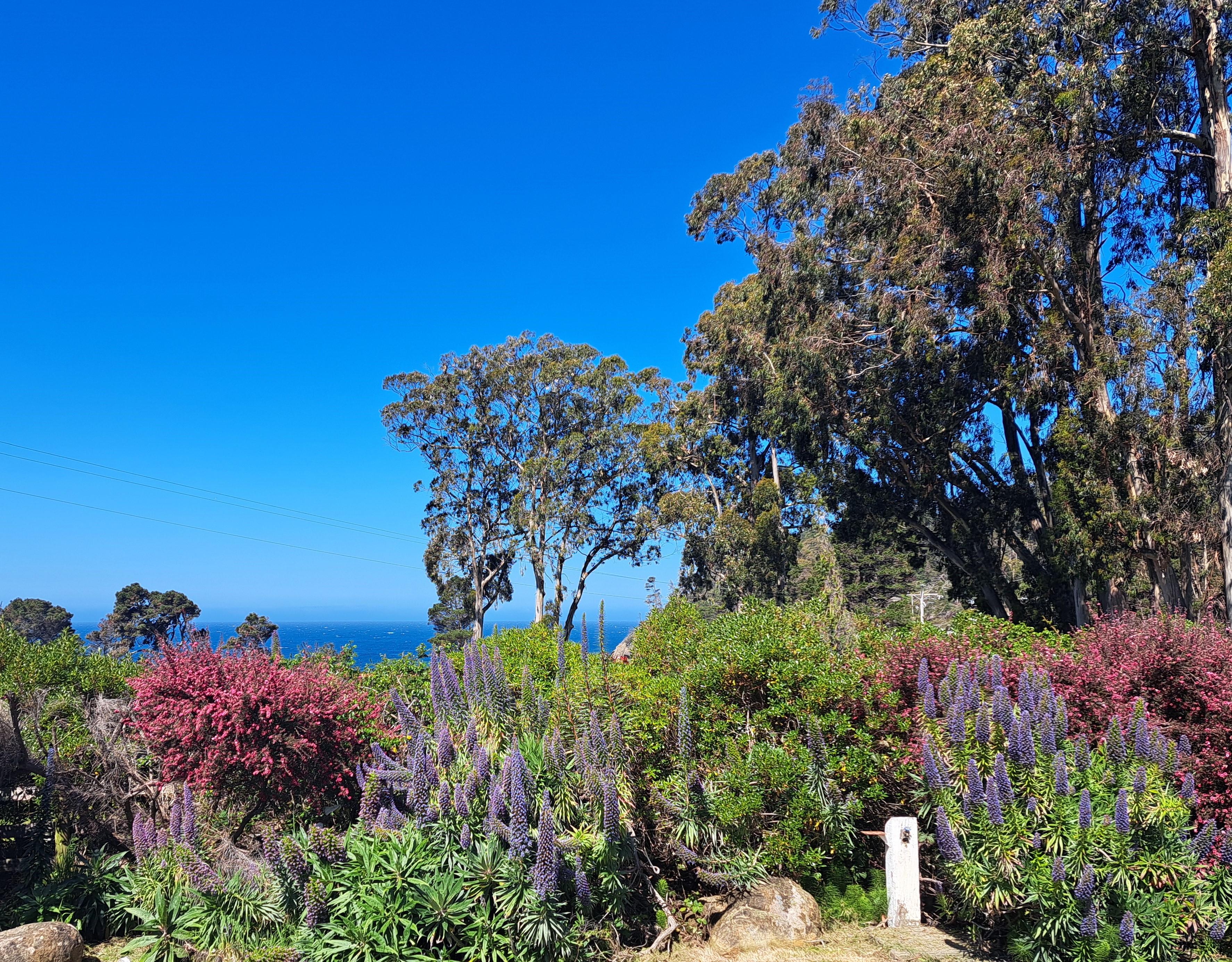
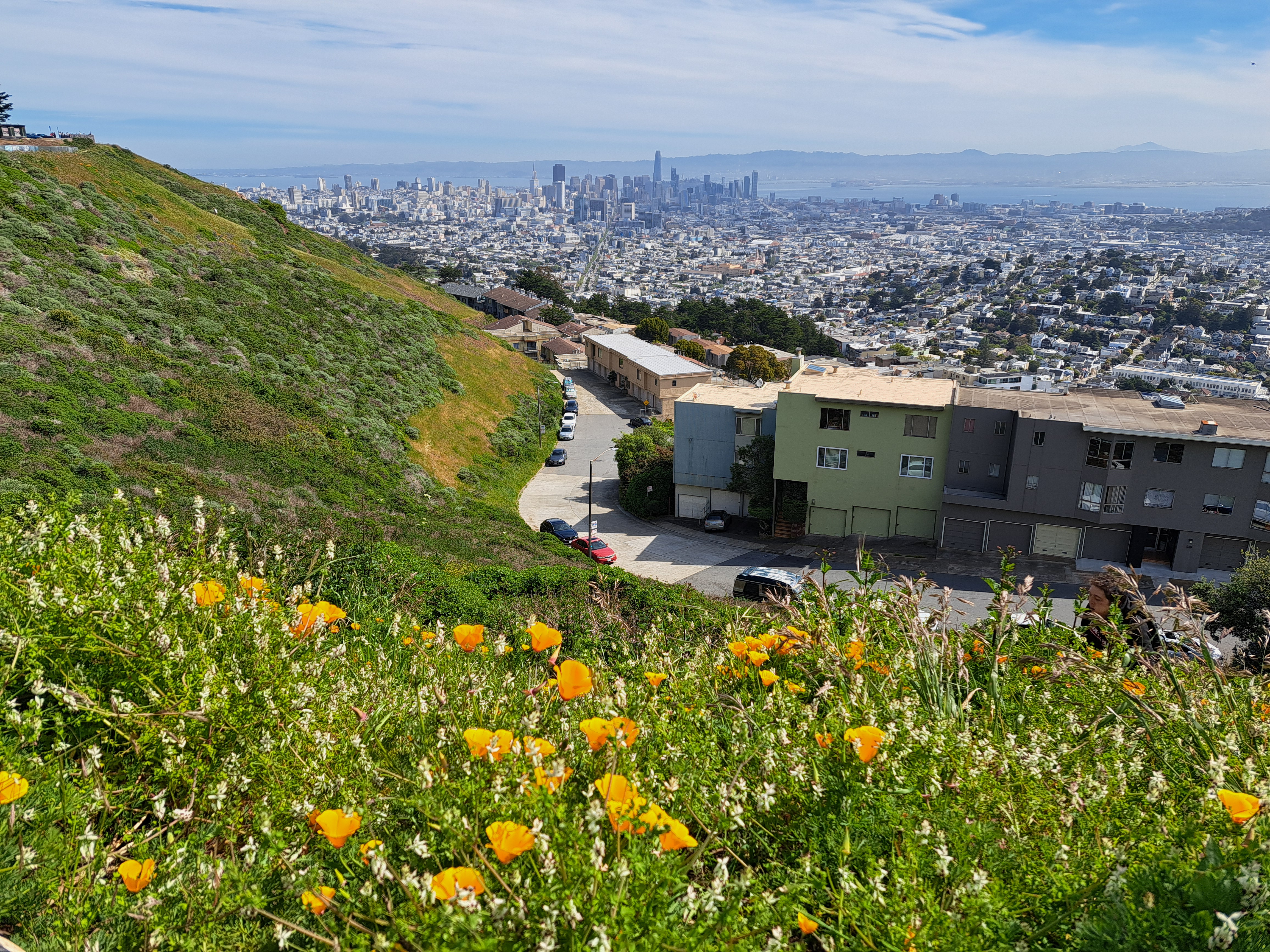
I took these two photos on my first full day back in SF (and the US) last month, near the top of Twin Peaks which contains three of the highest points in SF city itself, the higher of the twins clocking in at 282 meters (925 feet), making it nearly as high as the highest point in the Netherlands, to which I returned last week. The Vaalserberg’s peak is actually in Belgium (google “highest point in NL and see what you get – it’s a bit funny tbh), but before the hill crosses the border it becomes NL’s highest point at 322 meters. By comparison, at the top right above and top left below, you see the diamond-shaped top of Mt Diablo, second-highest point in the bay area (the counties which immediately border that bay you see down there). Diablo’s highest point is 1,173 meters. Later on I’ll share some lovely photos I took with Diablo as seen from the northwest in Sonoma County – very different profile, and we caught both Mt Tam and Mt Diablo in the frame :-). Anyhoo: lovely to be back in Amsterdam, but I do miss the mountains and the immediate proximity of open ocean.
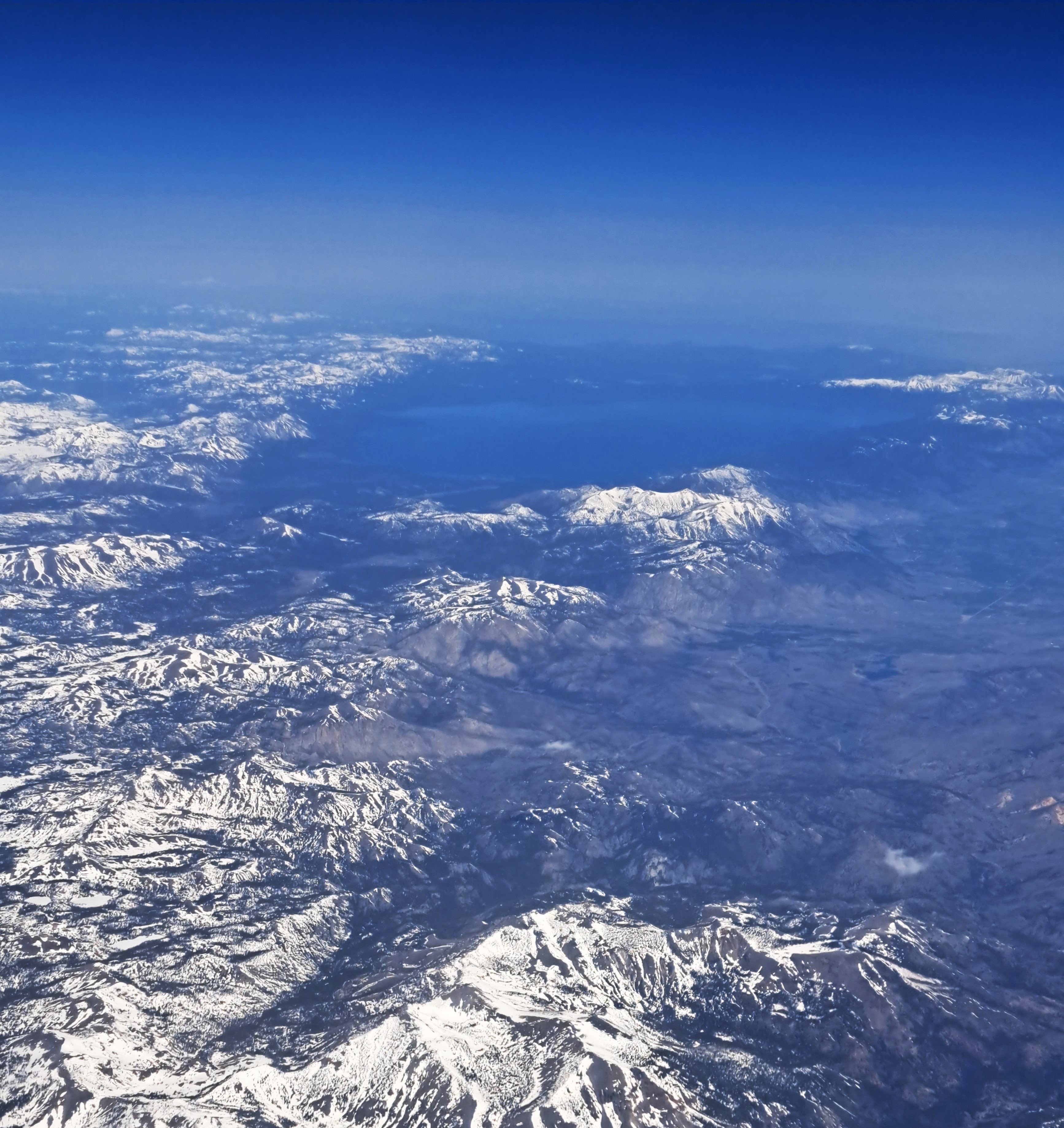
Lake Tahoe, surrounded by snow-capped Sierra Nevada peaks as our plane crossed that first major mountain range on our flight from SF to Pittsburgh on May 3rd. More Lake Living coming soon, as I’ve recently had the chance to spend with Steve and other friends on Lake Geneva, which first inspired this series.
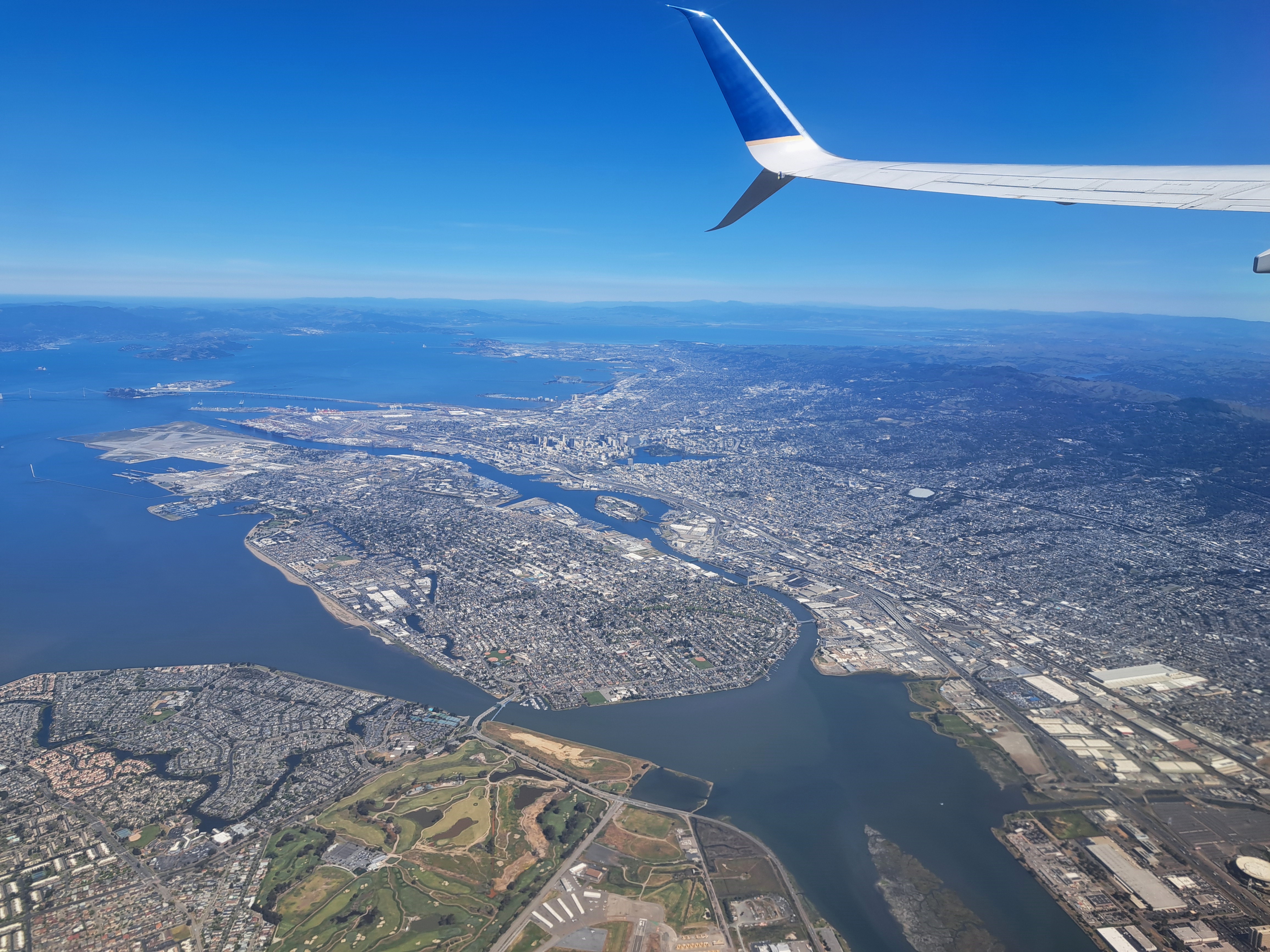
The most obvious island here is Alameda, with the city of Oaklnd mostly above and to the right of it in this photo. You also see Yerba Buena & Treasure islands, over which the SF Bay Bridge passes in traversing the bay from SF to Oakland; and above them at the top left you’ll find Angel Island, if you look closely.