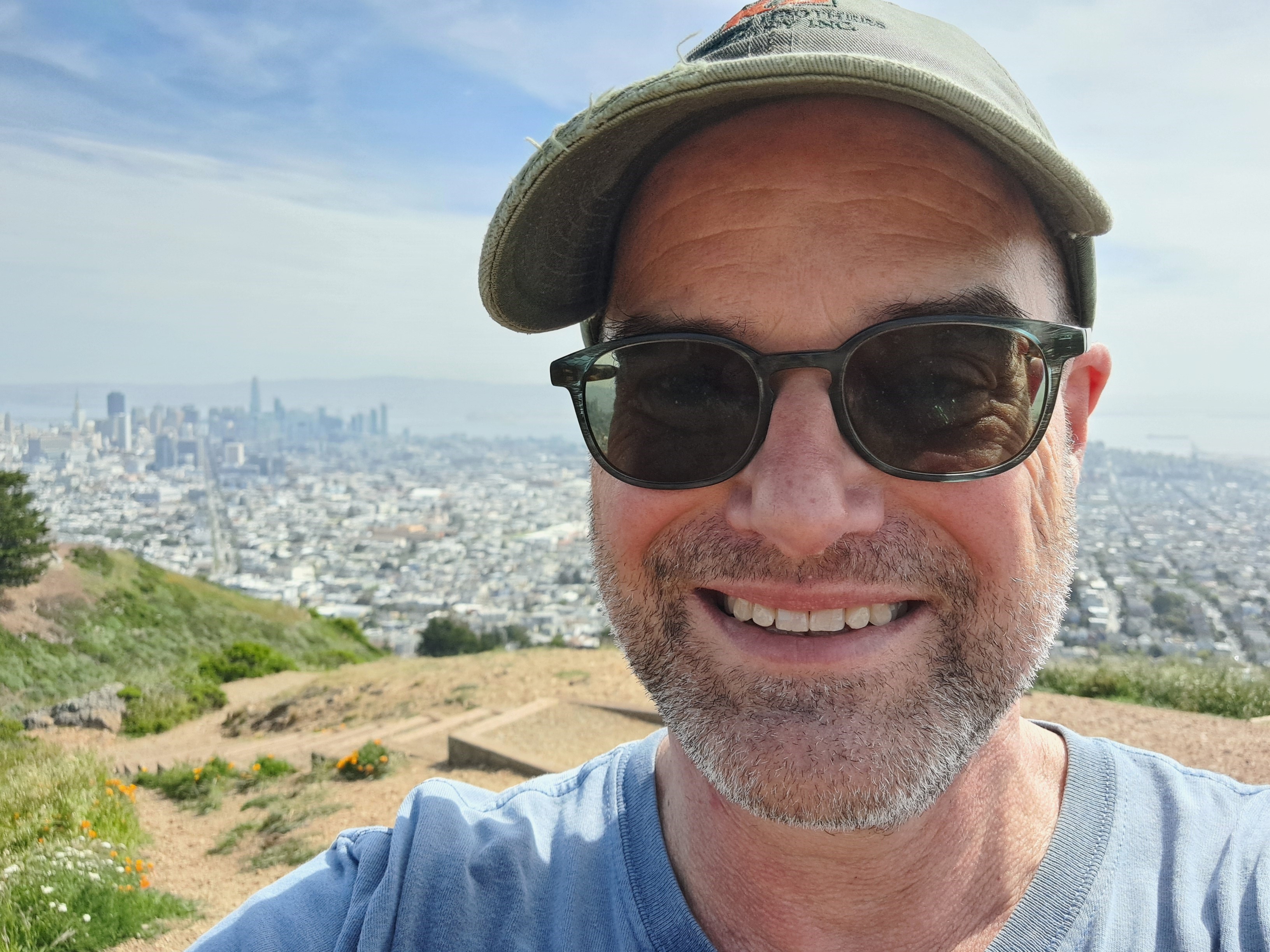
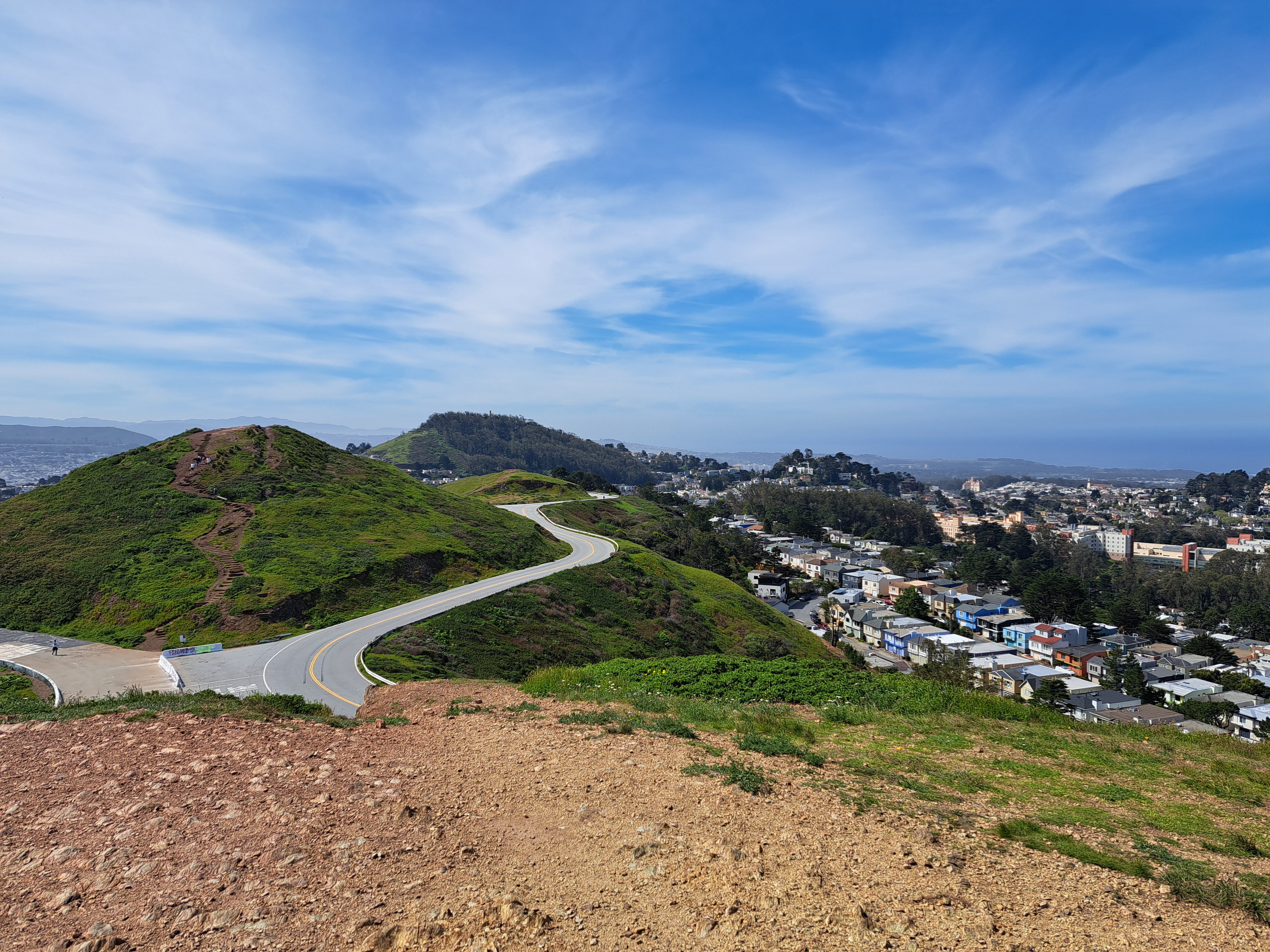
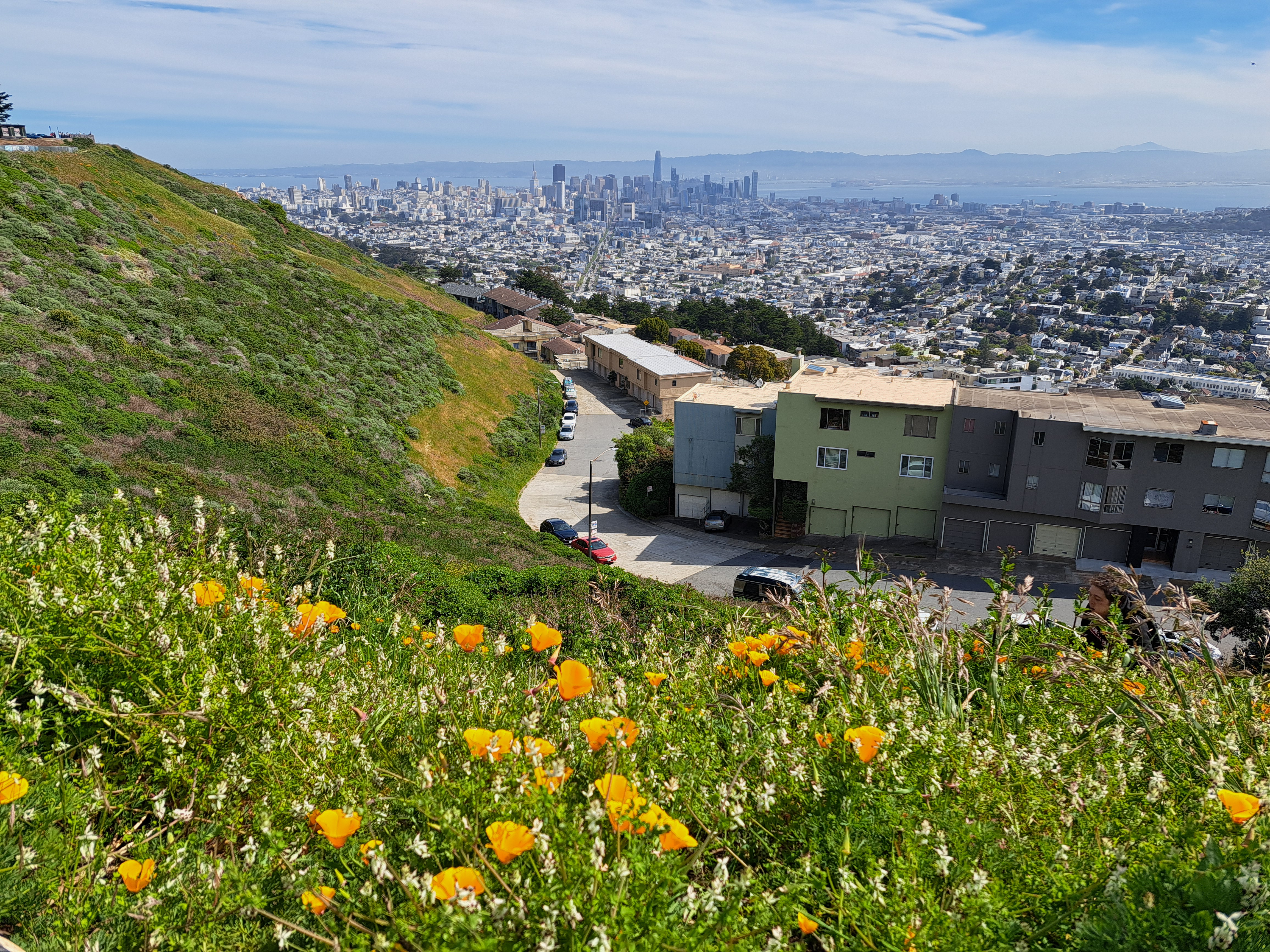
I took these two photos on my first full day back in SF (and the US) last month, near the top of Twin Peaks which contains three of the highest points in SF city itself, the higher of the twins clocking in at 282 meters (925 feet), making it nearly as high as the highest point in the Netherlands, to which I returned last week. The Vaalserberg’s peak is actually in Belgium (google “highest point in NL and see what you get – it’s a bit funny tbh), but before the hill crosses the border it becomes NL’s highest point at 322 meters. By comparison, at the top right above and top left below, you see the diamond-shaped top of Mt Diablo, second-highest point in the bay area (the counties which immediately border that bay you see down there). Diablo’s highest point is 1,173 meters. Later on I’ll share some lovely photos I took with Diablo as seen from the northwest in Sonoma County – very different profile, and we caught both Mt Tam and Mt Diablo in the frame :-). Anyhoo: lovely to be back in Amsterdam, but I do miss the mountains and the immediate proximity of open ocean.
San Bruno Mountain on the left, marking the southern border of SF City & County; the ridges in the middle right are Mt Tamalpais in Marin County just north; and of course the city of SF on the far right middle. From my flight out of SF to Pittsburgh a bit more than a week ago.
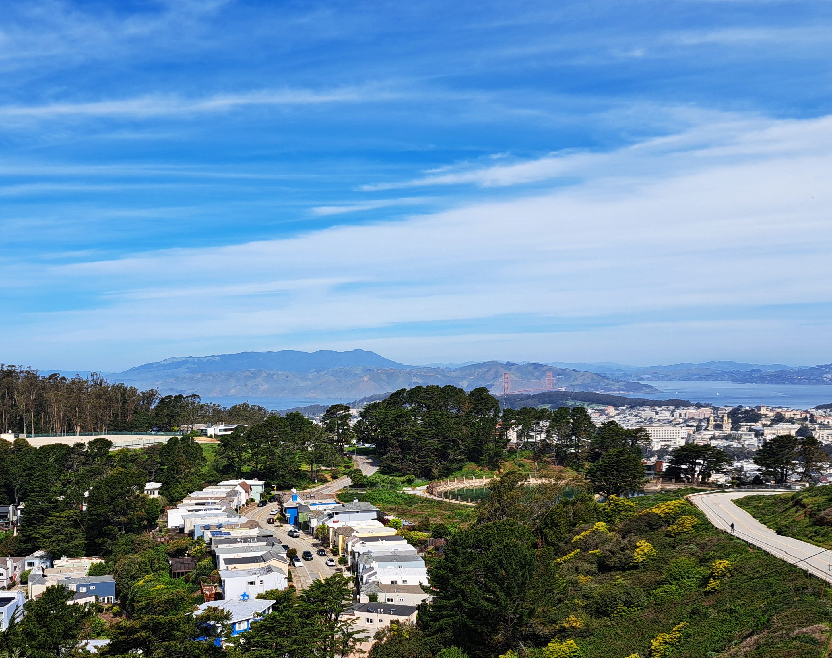
City & County of SF in the foreground; Marin County on the far side of the GG Bridge, and bits of at least Alameda & Contra Costa counties on the eastern side of the bay (top right).
Bottom right corner here in Mt Tamalpais and Marin County; right middle you can see the Golden Gate Bridge and SF. I’m reasonably confident that in addition to the clouds, you can also see a few lines of snow-capped Sierra Nevada mountain ranges in the middle below the couds. I’m even more confident that there are snow-capped Sierras in the distance of the photo below, which also shows Clear Lake to the north and west of my old Sonoma County home, once the skies below our plane had cleared enough for me to take photos as we approached SF nearly two weeks ago.
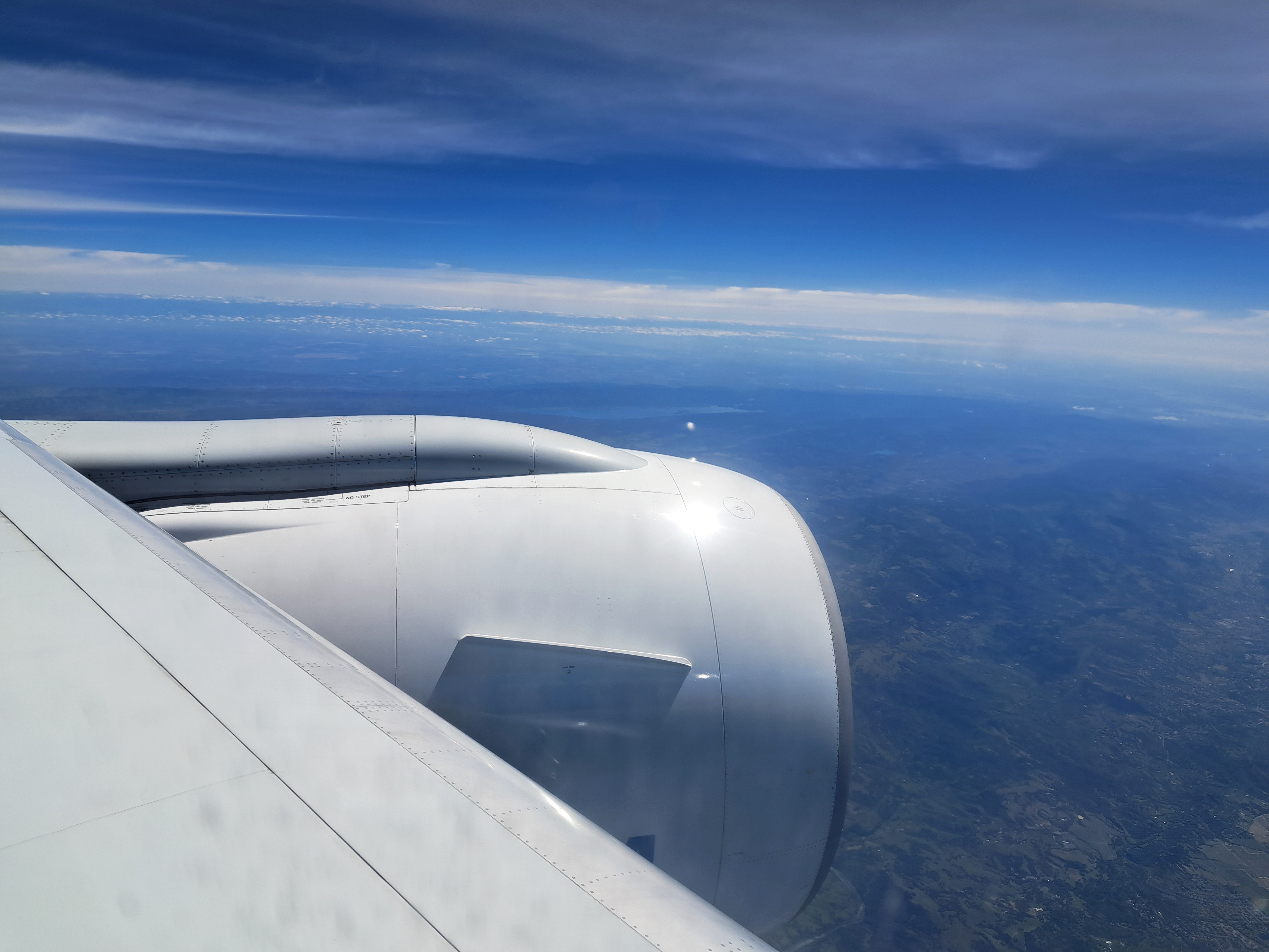
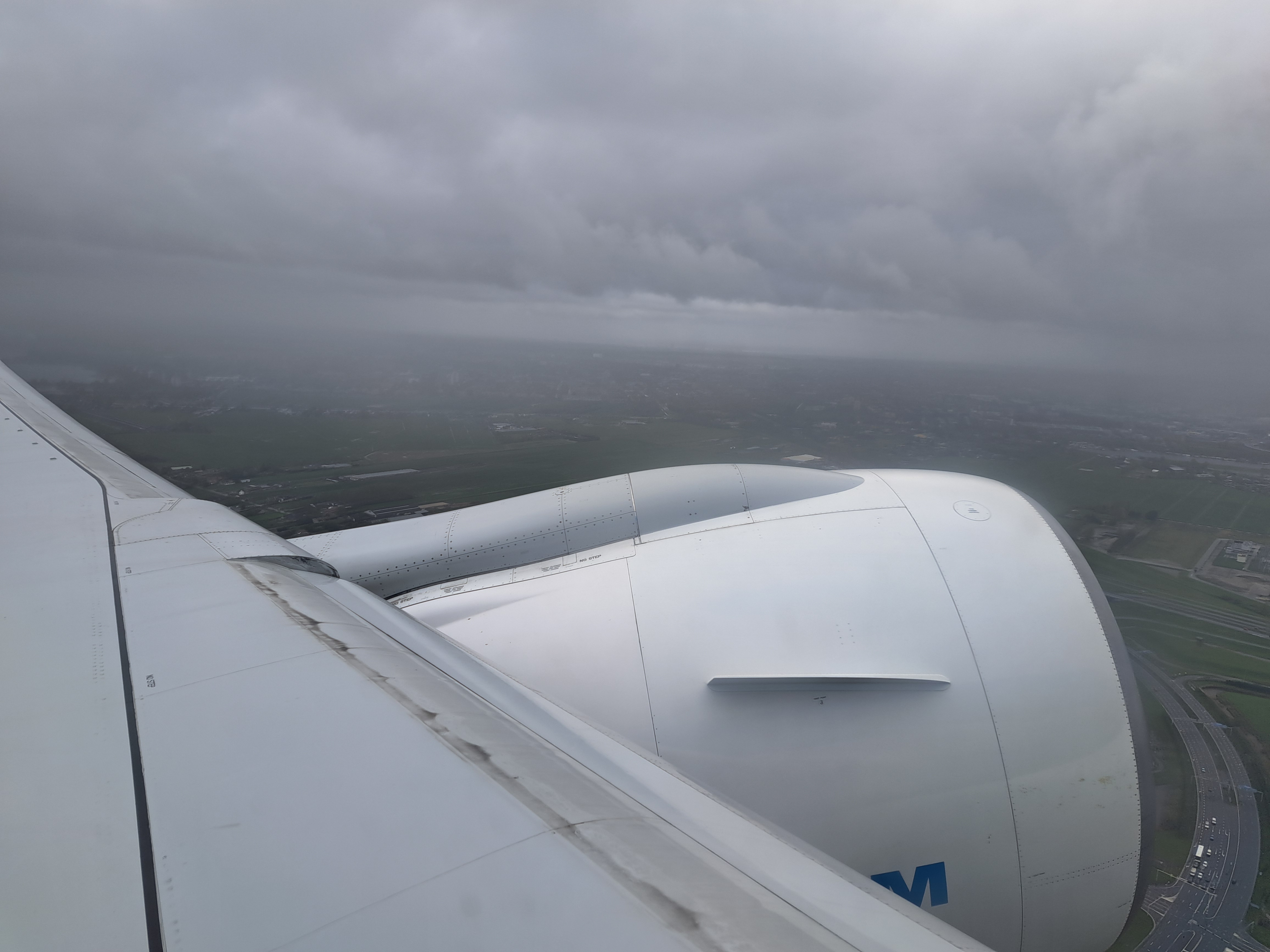
No, it’s not pretty – but it’s the last view I had of my Amsterdam home before the plane entered the heavy cloud layer. Below: the last photo I took before we landed about 10-1/2 hours later at SFO. Bit of a contrast, eh?