San Pablo Bay (north end of SF Bay), Richmond-San Rafael Bridge; Sacramento – San Joaquin River Delta stretching east from San Pablo to the Central Valley & Sacramento, with snow-capped Sierras in the distance; Mt Tam, Mill Valley, Sausalito & Marin County bottom right as we flew over on 16 April during that long, photo-productive approach to SF :-).
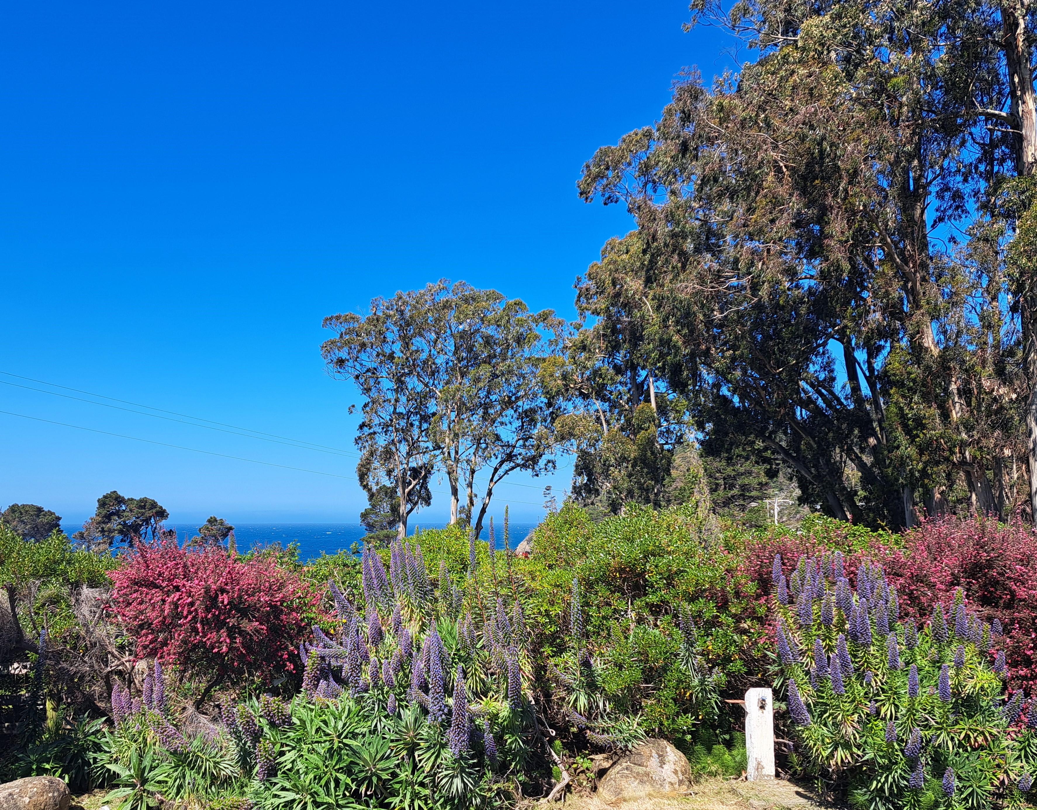
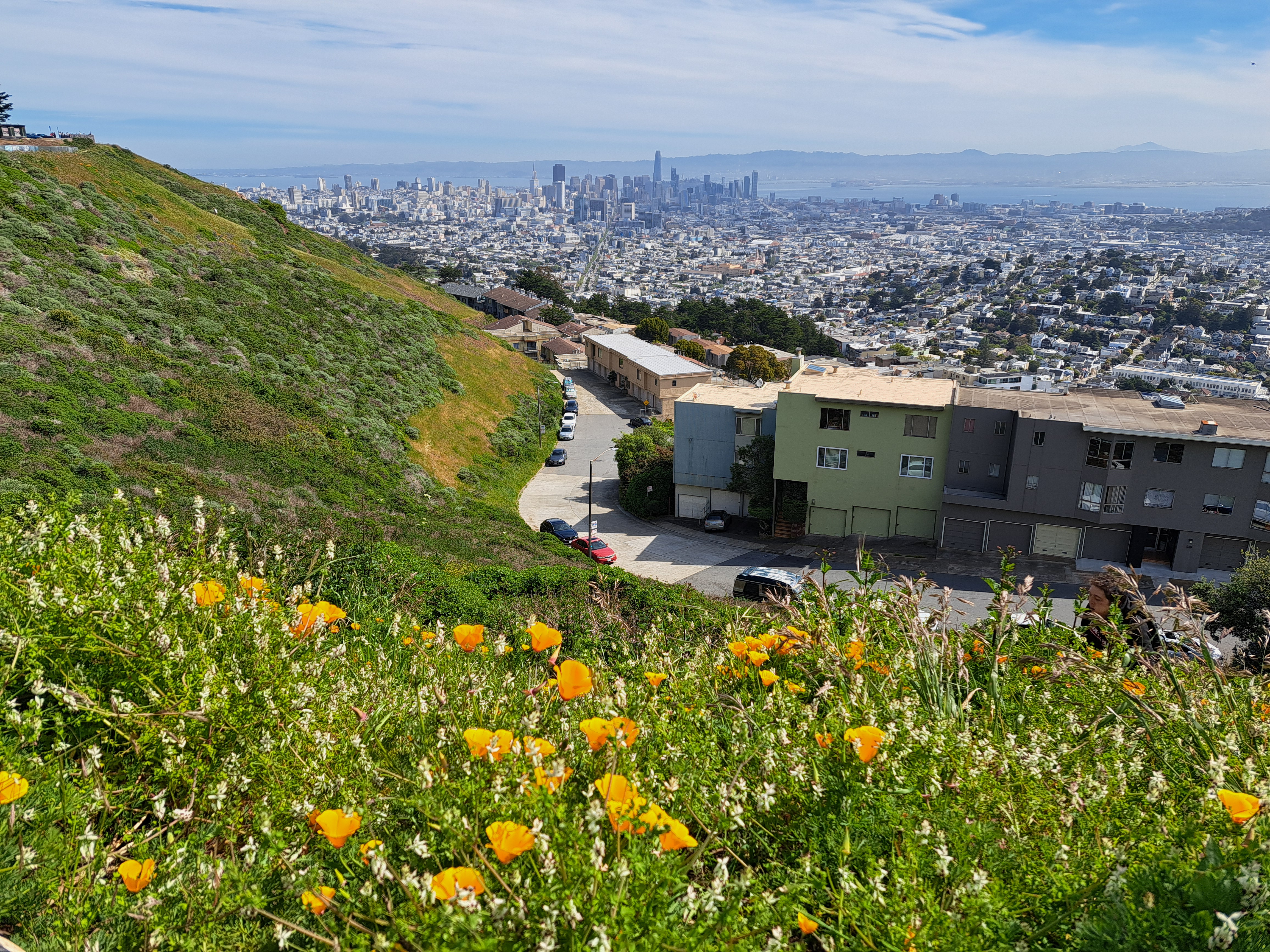
I took these two photos on my first full day back in SF (and the US) last month, near the top of Twin Peaks which contains three of the highest points in SF city itself, the higher of the twins clocking in at 282 meters (925 feet), making it nearly as high as the highest point in the Netherlands, to which I returned last week. The Vaalserberg’s peak is actually in Belgium (google “highest point in NL and see what you get – it’s a bit funny tbh), but before the hill crosses the border it becomes NL’s highest point at 322 meters. By comparison, at the top right above and top left below, you see the diamond-shaped top of Mt Diablo, second-highest point in the bay area (the counties which immediately border that bay you see down there). Diablo’s highest point is 1,173 meters. Later on I’ll share some lovely photos I took with Diablo as seen from the northwest in Sonoma County – very different profile, and we caught both Mt Tam and Mt Diablo in the frame :-). Anyhoo: lovely to be back in Amsterdam, but I do miss the mountains and the immediate proximity of open ocean.
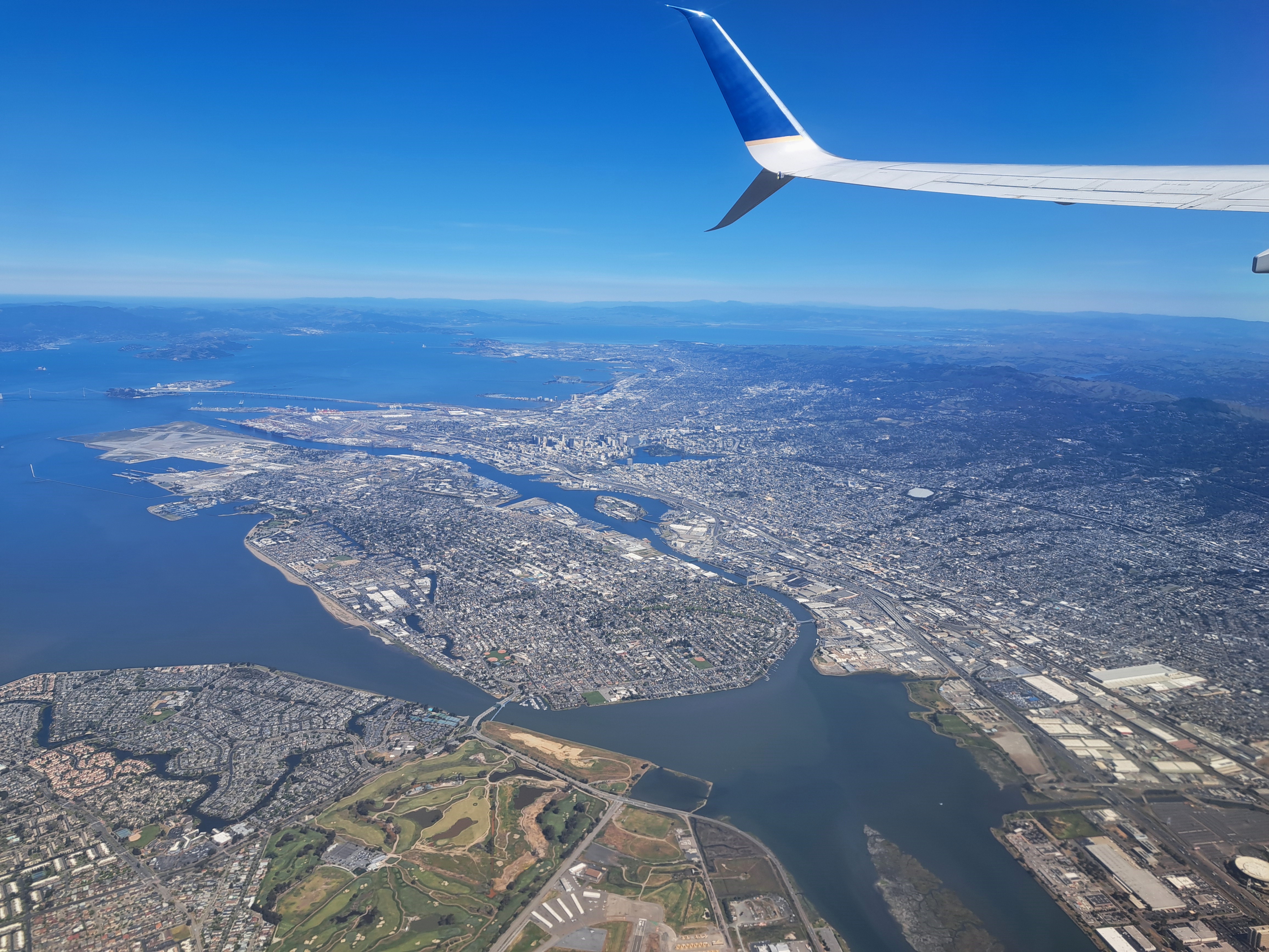
The most obvious island here is Alameda, with the city of Oaklnd mostly above and to the right of it in this photo. You also see Yerba Buena & Treasure islands, over which the SF Bay Bridge passes in traversing the bay from SF to Oakland; and above them at the top left you’ll find Angel Island, if you look closely.
San Bruno Mountain on the left, marking the southern border of SF City & County; the ridges in the middle right are Mt Tamalpais in Marin County just north; and of course the city of SF on the far right middle. From my flight out of SF to Pittsburgh a bit more than a week ago.
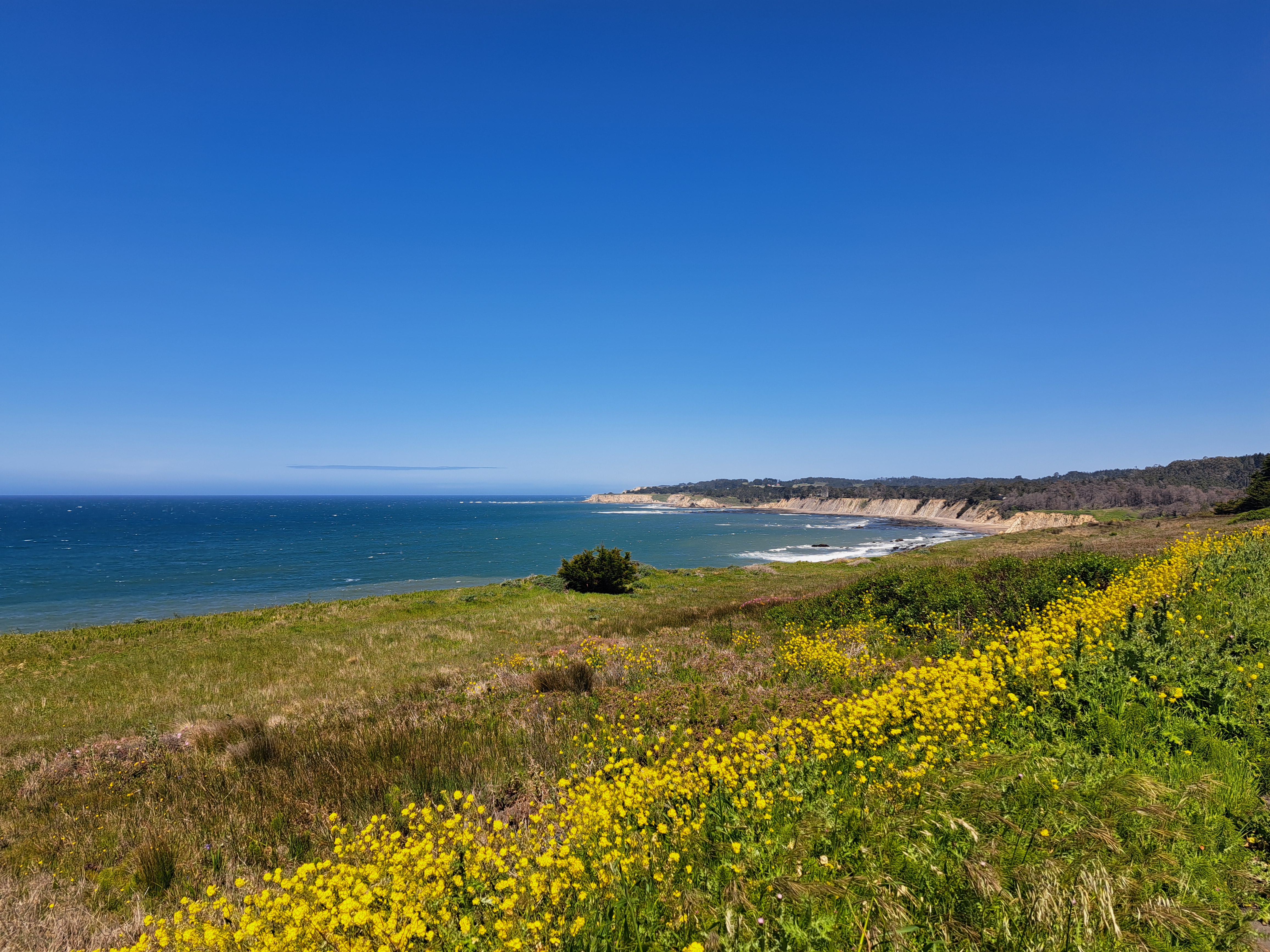
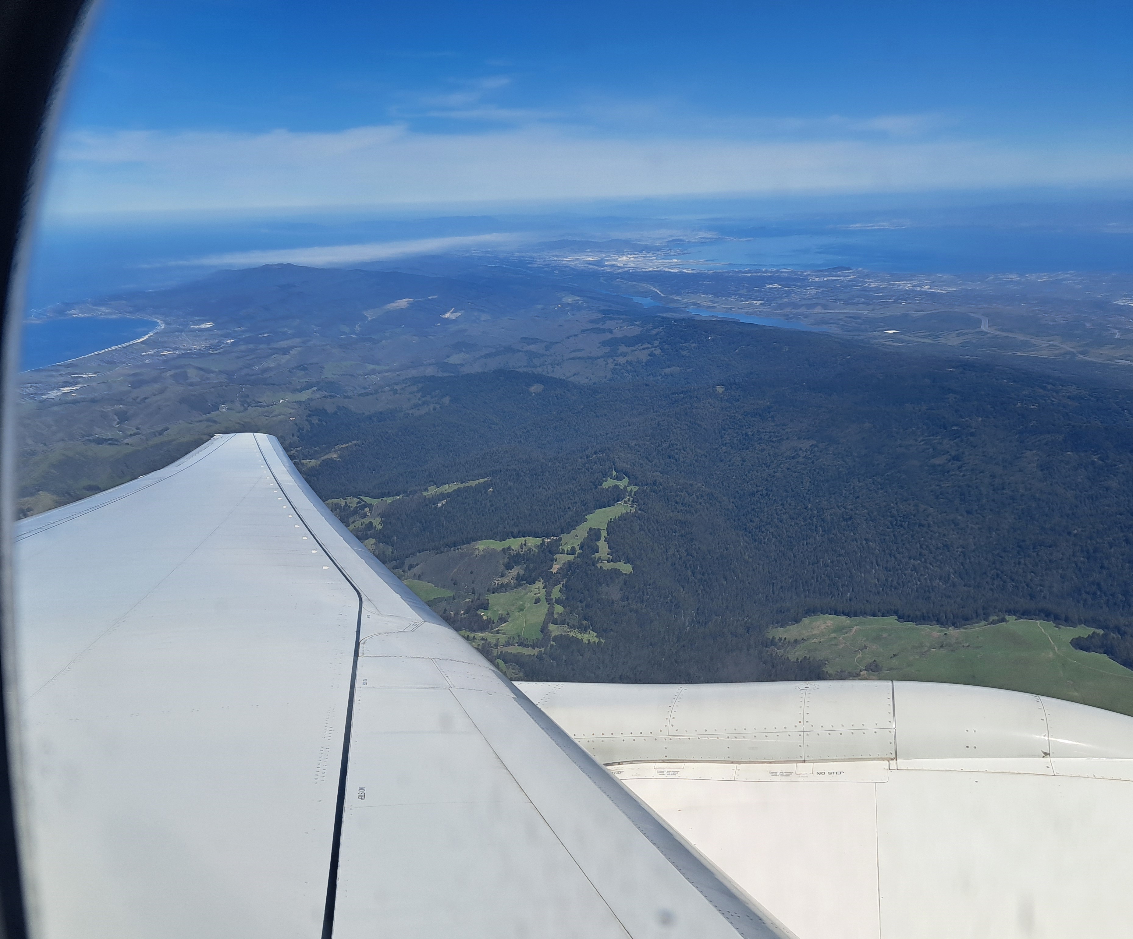
What you’re seeing here is a lot of Silicon Valley, and nearly all of the San Francisco Bay, the city of SF itself slightly visible in the hazy top left, Mt Diablo to the east, at the top right of the photo. This image – looking northeast as the plane banked – and the one below were taken in sequence. With apologies for the combination of window frame and airplane wing, I include as well the image below you since you can see the full width of the peninsula with SF at the top, Half Moon Bay (open Pacific) on the western side, and the bay to the east. The “silicon valley” of legend is pretty much the eastern side of the peninsula, along the bay down to the big city of San Jose which is south of the frame of either of these photos.