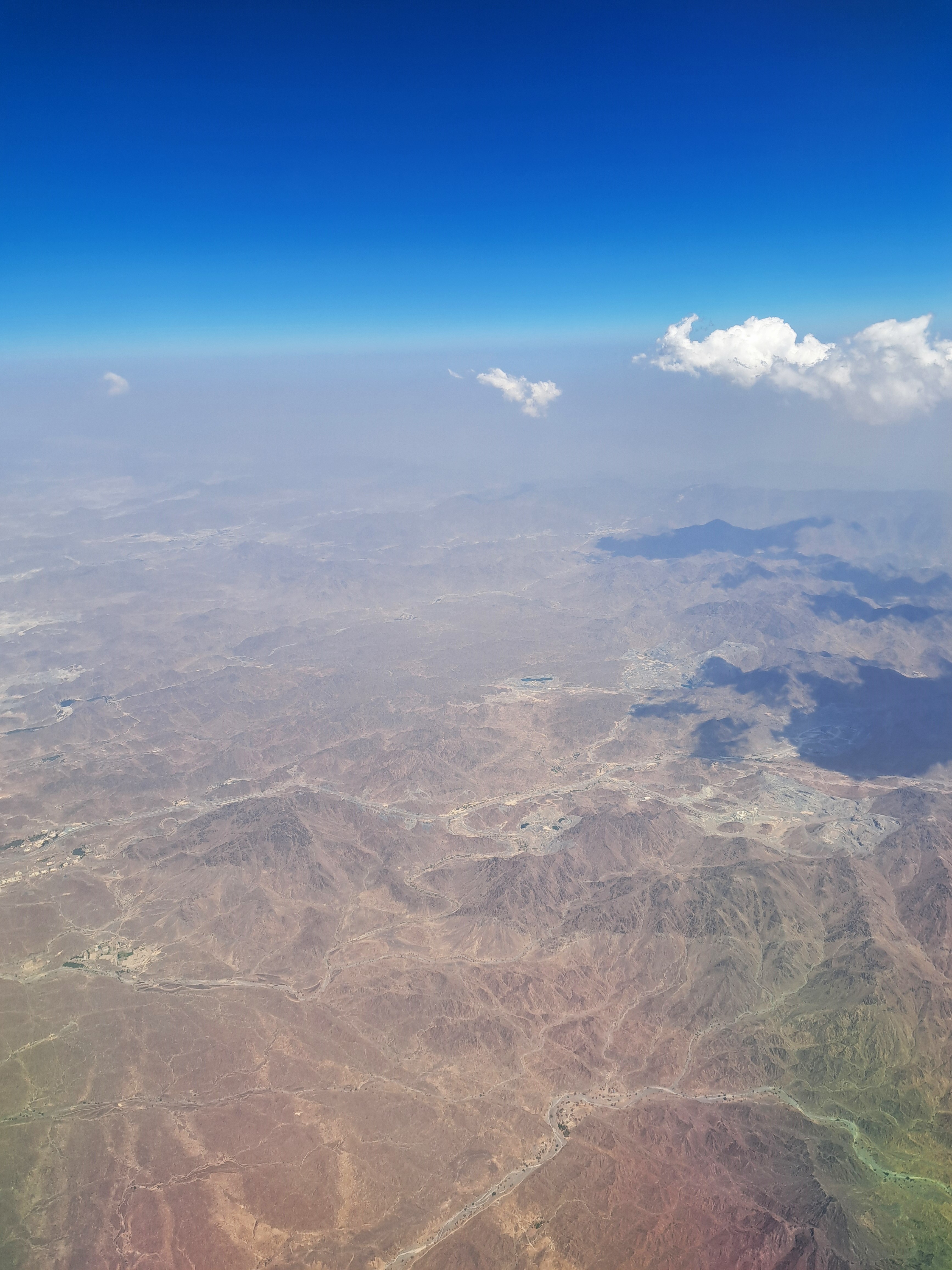
Departing Bangladesh a few weeks ago, I promised myself I’d keep an eagle eye out the window for anything I could legitimately call a mountain. Thus I offer you the Hajar Mountains in the northeastern UAE, most likely in the emirate of Fujairah, but possibly also in Ras al Khaimah or perhaps even Oman though I’m reasonably sure we were west of Oman by this point…
Coming back to NL from Chicago in May, we took off into a bit of a rain storm with low clouds, so I grabbed some views of the sprawling city before it vanished beneath the clouds as we climbed. Below, taken very shortly after the one above, you can get a bit more sense of the Lake Michigan shoreline off to the east as the plane banks to head northeast and we’re looking pretty much due east.
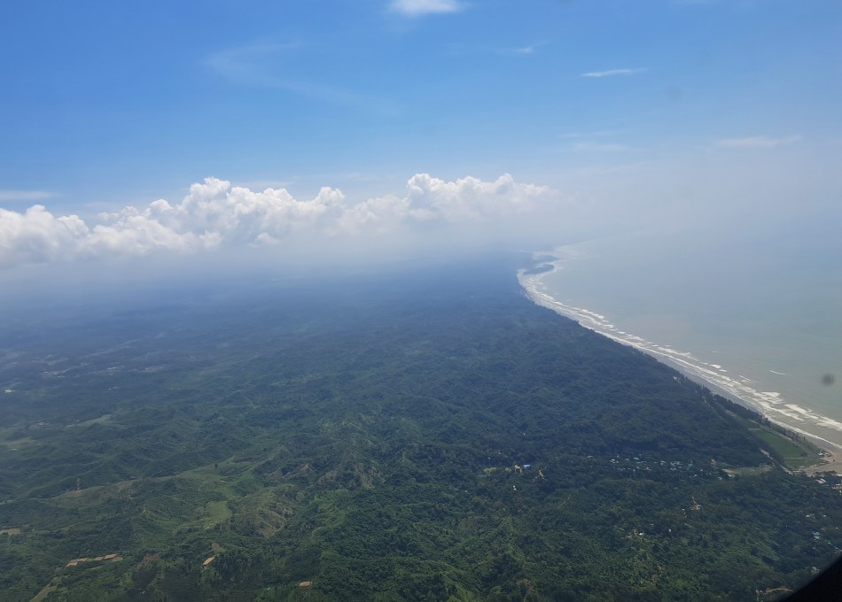
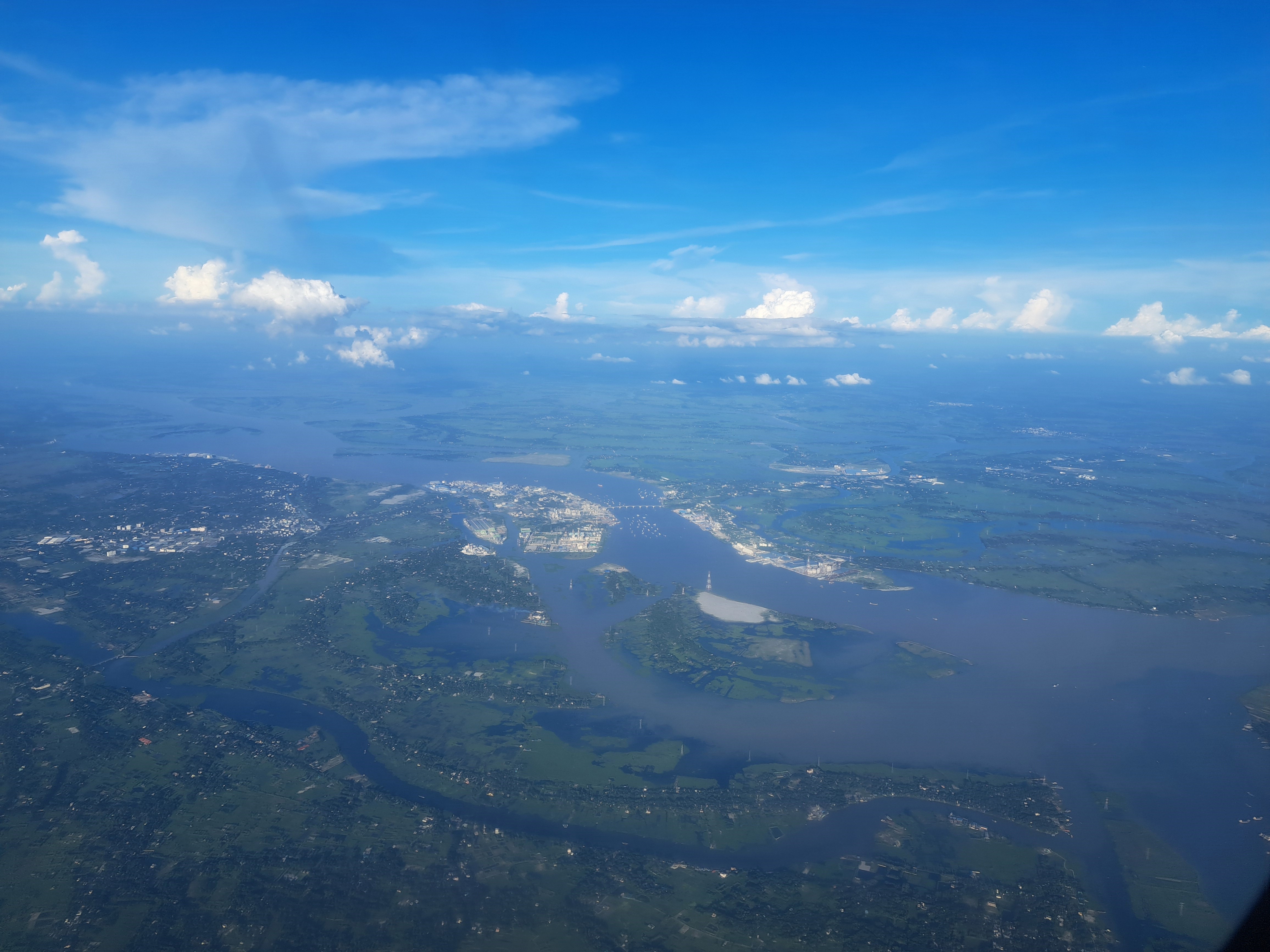
Two more airborne shots from my Cox to Dhaka flight last month. North of Chattogram (Chittagong) and looking east northeast, above; and still in Cox, looking south, below.
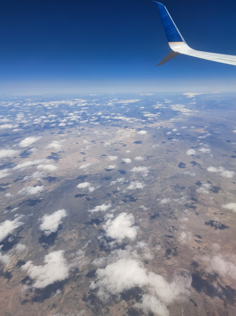
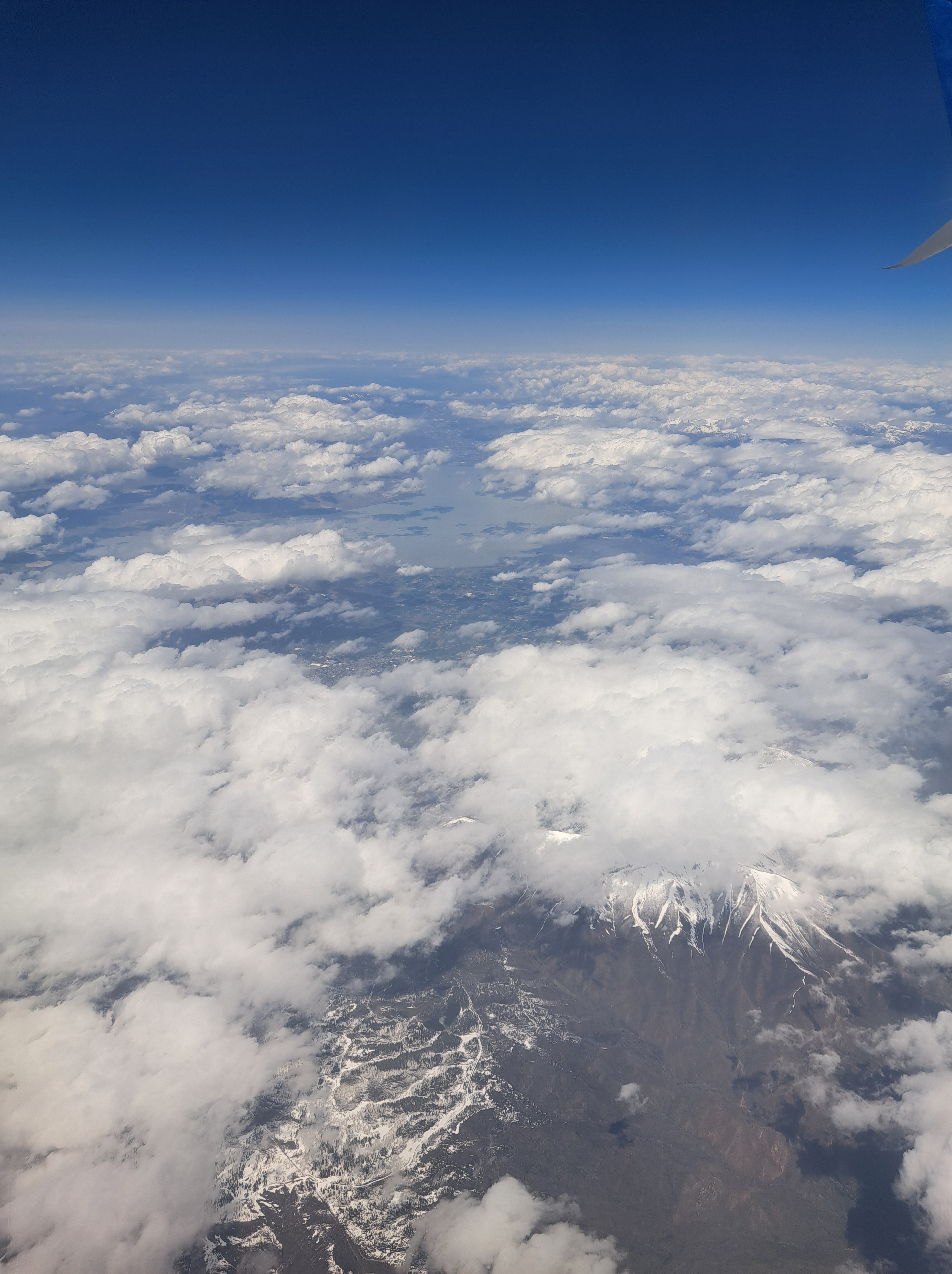
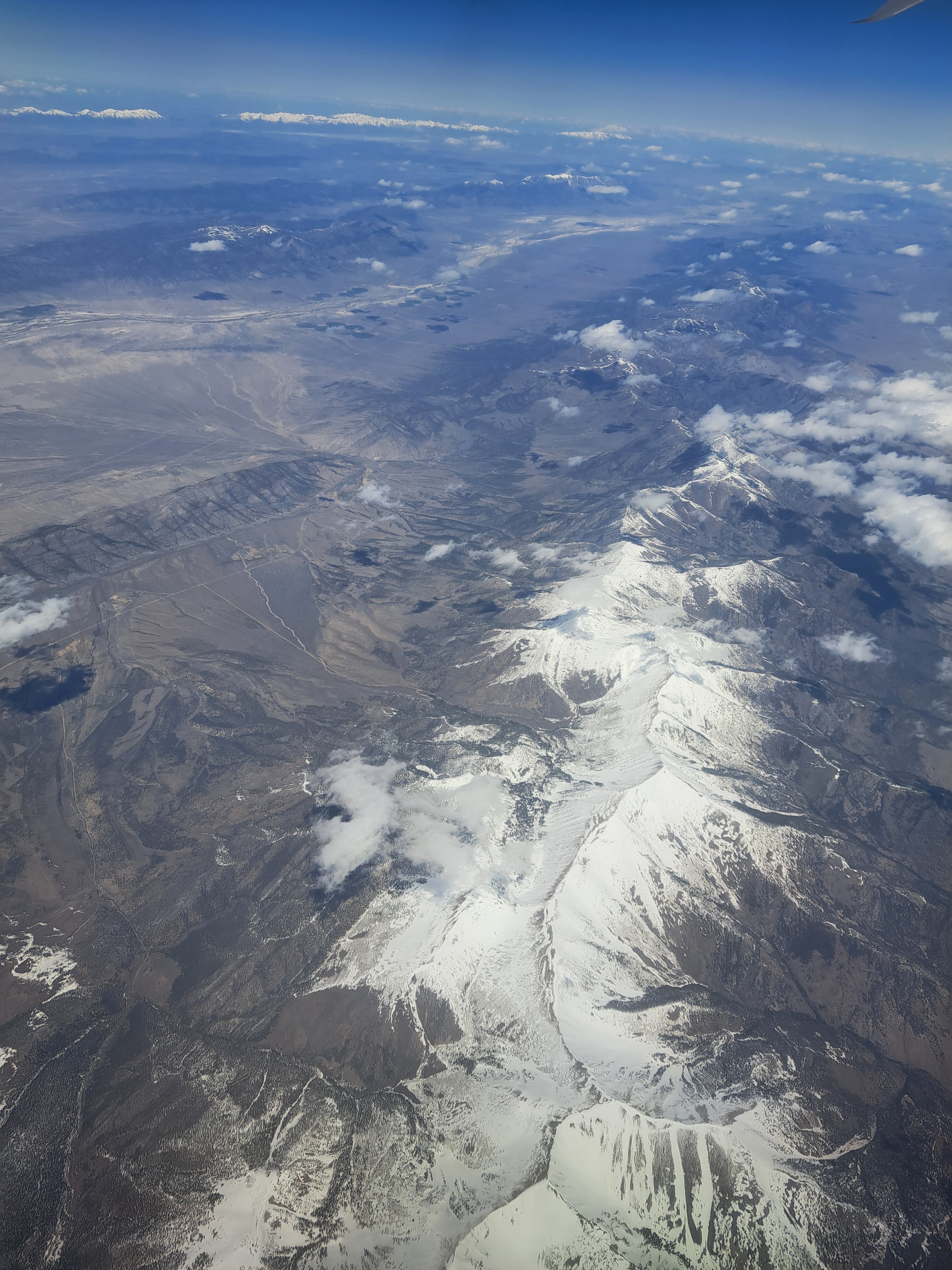
Reasonably confident that’s Utah above, along with most of the images below, but I think by the final couple we may have reached Colorado. I remember straining to catch a glimpse of the Great Salt Lake which was well to the north of our trajectory, and it might be in some of these, but it’s long enough ago that I’m sorry to stay I’ve forgotten :-). No more shots remaining from that 3rd May flight, fear not.
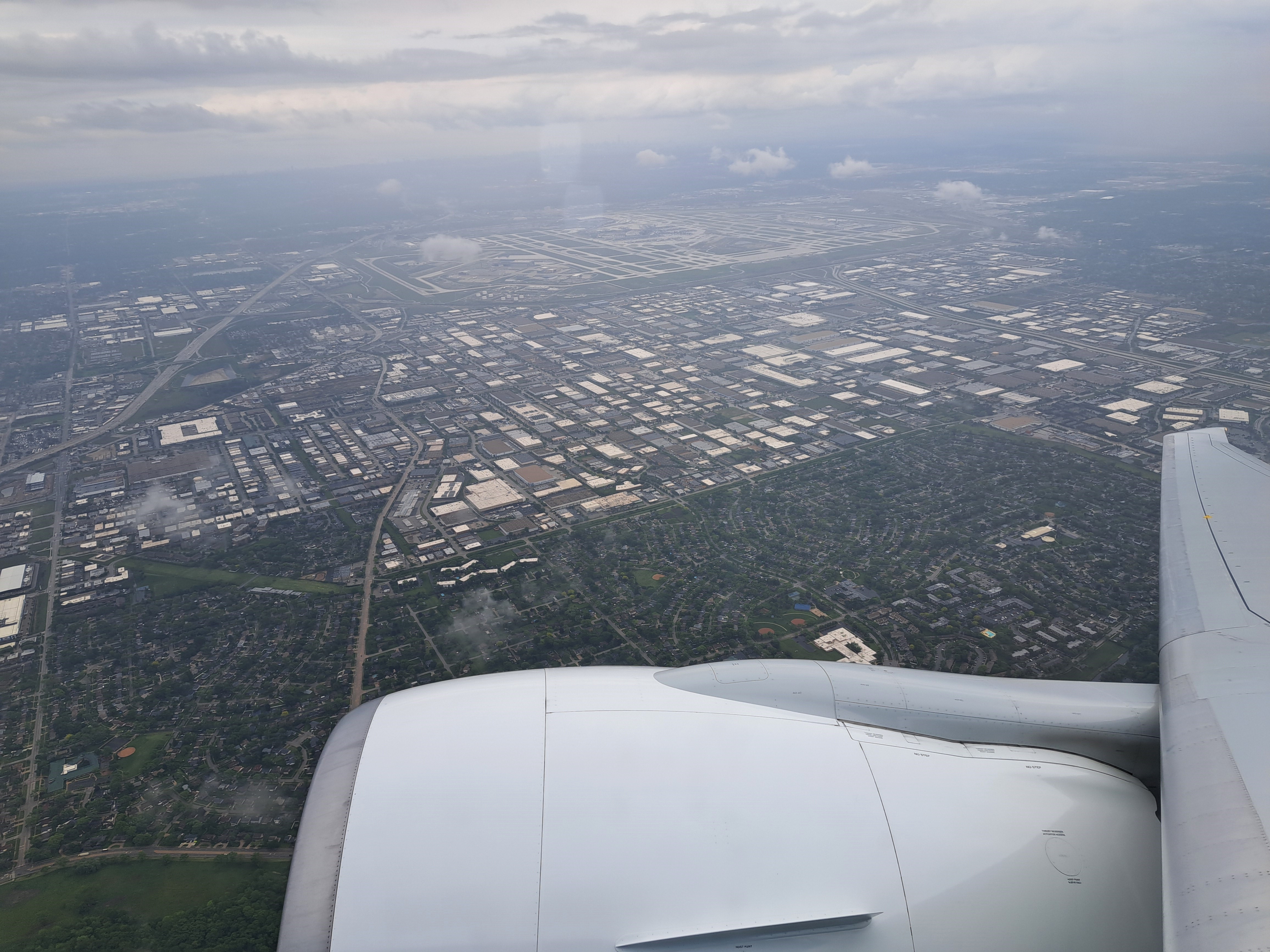
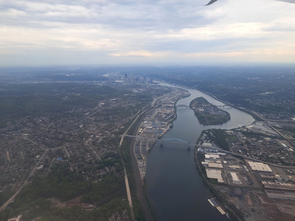
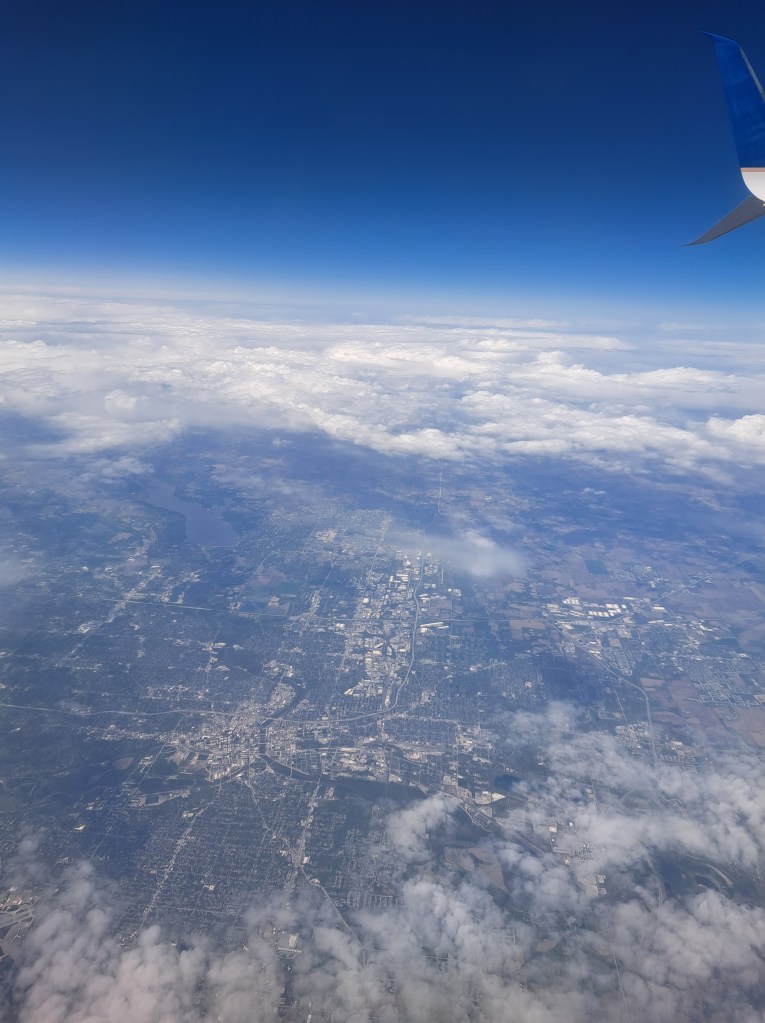
A few more shots from the early-May SF to Pittsburgh run, with the city itself above showing more visibly where the two rivers merge to create the Ohio River (which is the third of the “three rivers”), and below where it’s mostly the Ohio, plus some midwestern and great plains aerial views.
Last shot I took before landing back in NL from the US, back on 14 May; and first shot as we took off on 8 September. The intervening months may have been the longest stretch without any flights that I’ve had since I moved here. As these pages attest, I got out and about quite a lot in that period but always by train. Carbon-footprint reduction plans in action. 🙂
l arrived home late Friday in Amsterdam, and am posting here the first aerial shots I recall ever managing to take that actually show the Coxs Bazar beach from the air. The skies were wonderfully clear, my seat in the plane perfect aside from one fleck on the window (which you’ll only see in one or two of the gallery below, because I’ve mostly managed to crop the photos to eliminate it), so these are photos as the plane flew southward from this northernmost shot to the final views, at the bottom, as we banked east then north for the return to Dhaka on Tuesday last week. There’ll be more seashells and others to come before we run out of our stock, but these will help you imagine those tiny shells in their larger context :-). Oh, and the selfie is the first time I ever succumbed to the most-common trope for people landing in or departing from Cox: everyone takes a selfie. Most folks visiting Cox are tourists, mostly Bangladeshi honeymooners and families. So I’m smiling, because the weather was nice, the visit lovely, and I was finally doing that most stereotypical of Cox airport things, the selfie.
I’ve a feeling that’s a ski area peaking out from behind the clouds over Colorado during the May flight, and below are a few last ones from either eastern Utah or Western Colorado, same flight.
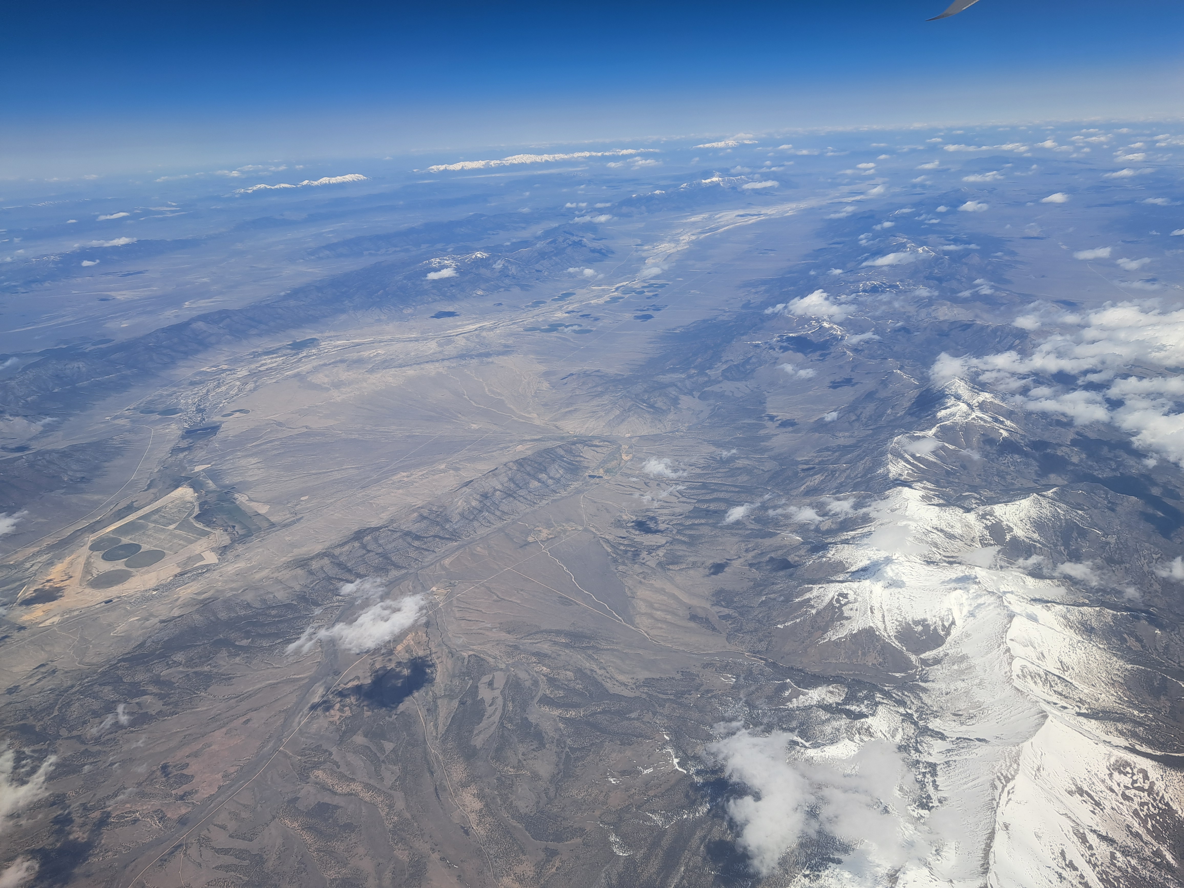
If there’s snow on them in the desert in May, then they’re mountains. 🙂 Probably Utah, but maybe Nevada, still from that SF->Pittsburgh flight in May. Hoping for clear skies en route home to see interesting mountain views (such as this) along the way during my daytime return flights, or we’ll have to let this series go dormant ’til whenever I next get close enough to photograph something I can call a mountain…
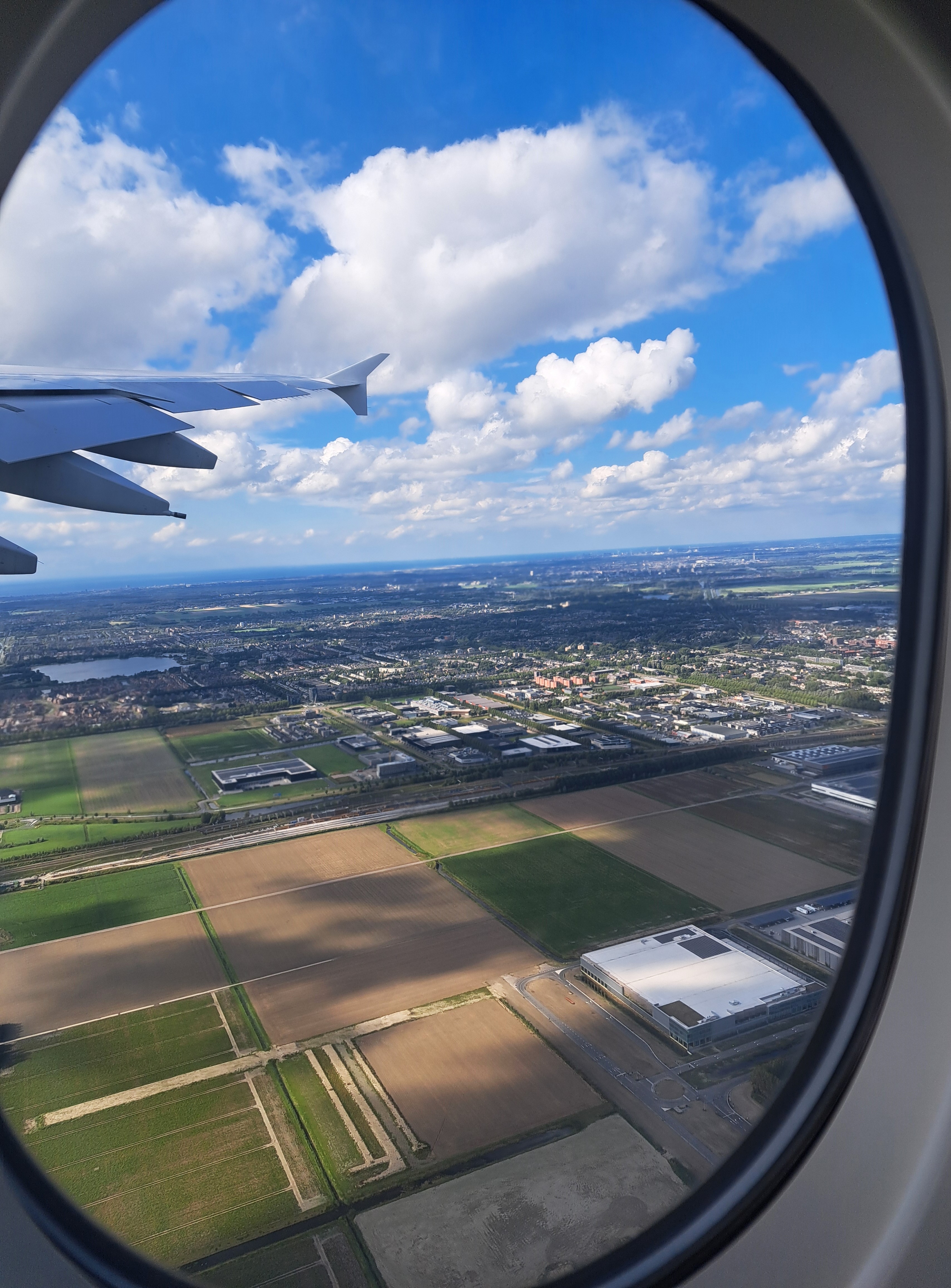
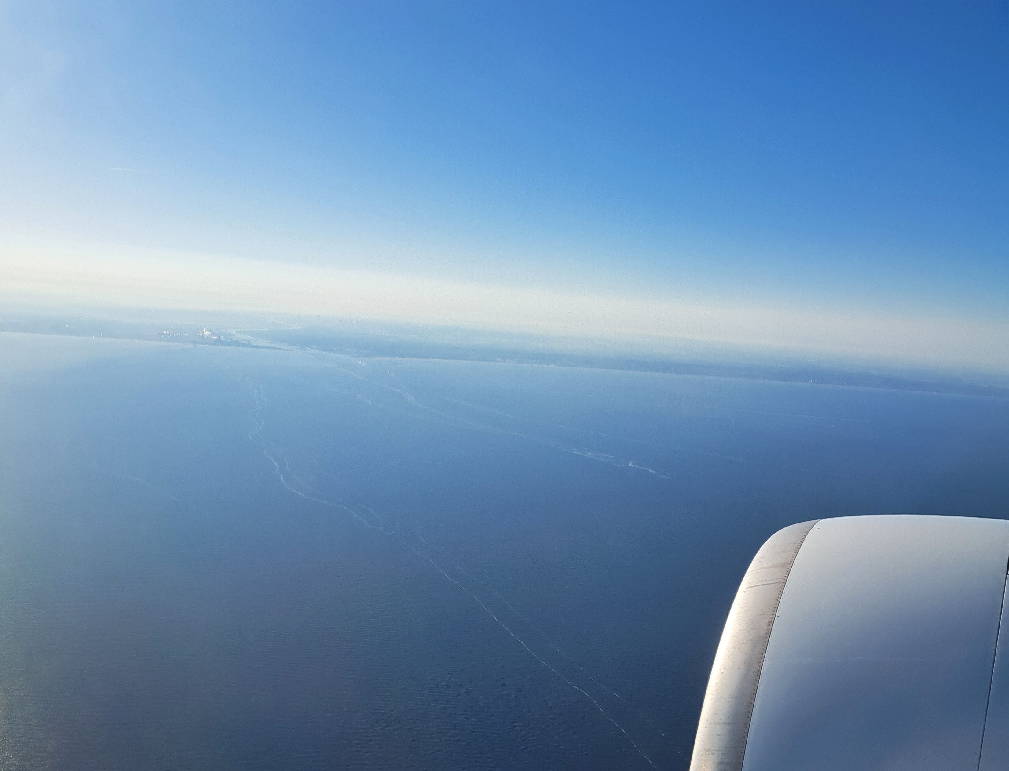
The Dutch coastline at Ijmuiden, early morning May 14th, as our plane flew north – northwest across the North Sea after crossing the islands of Ireland and Great Britain on its flight path from Chicago to Amsterdam. The most common landing path I’ve experienced is up this way, sharp right turn over the land, then lining up for the runways in a more or less due-south pattern which I can watch from the windows of my apartment :-). Below, three photos taken each a bit later on the same trajectory.
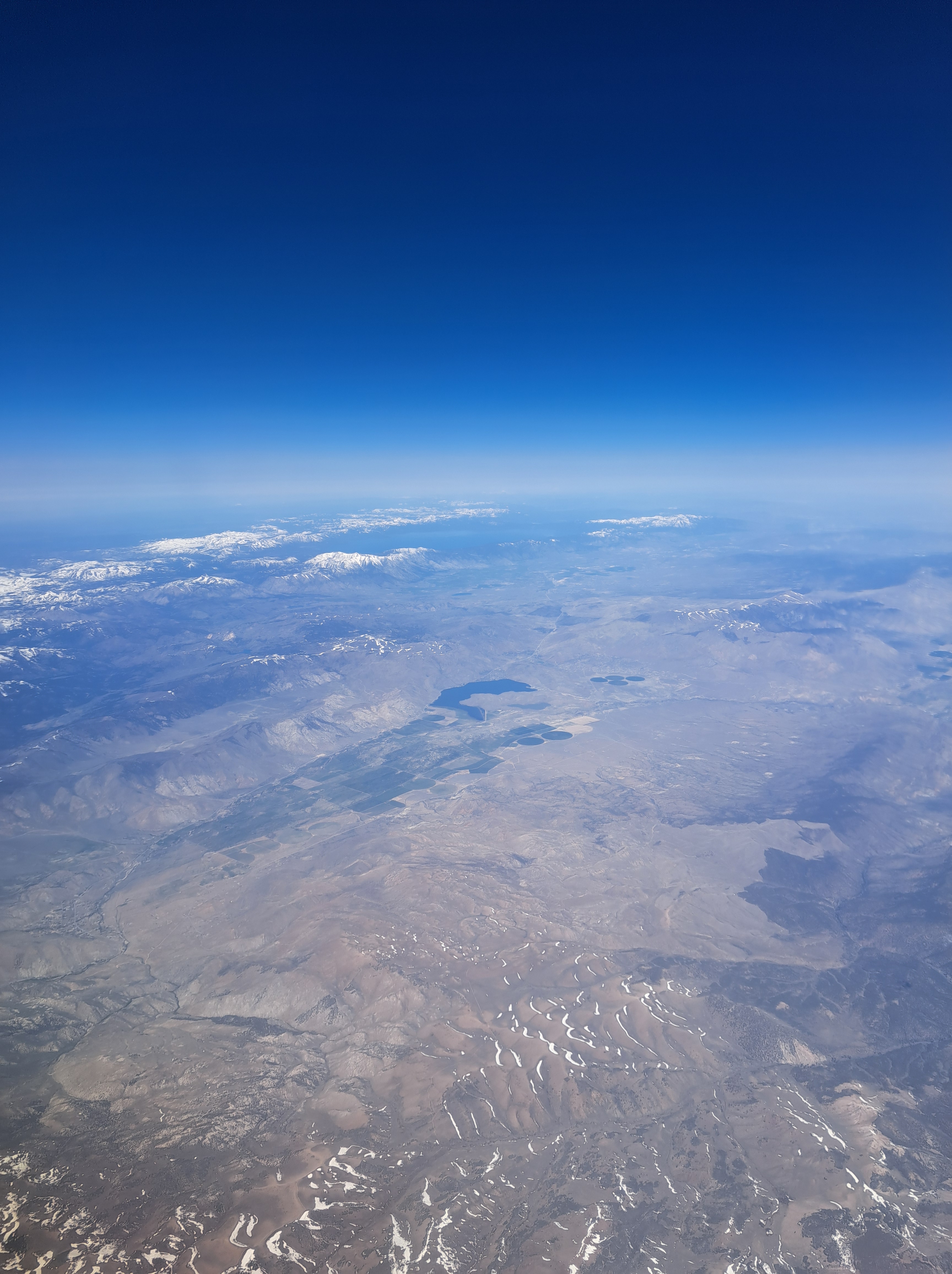
If your browser loads this as I hope, you’ll see one large photo above that shows Lake Tahoe at the top (north) and the snowy Sierra Nevadas below it; one large photo at the bottom which looks back west and north across the arid western Nevada landscape, to Lake Tahoe and the Sierras. And in between, ten photos I took during the six minutes that elapsed as our plane flew across the Sierra Nevadas, leaving behind California and beginning its flight across Nevada.
These two were taken an hour apart as our plane flew east from SF to Pittsburgh, with Pittsburgh itself only coming into view more than three hours after the shot below. Since I now we flew just south of Provo not too much before the above shot, I’m guessing some river-junction town in eastern Utah for the one above, since I don’t think we flew this close to Grand Junction or had come far enough east yet. The one below…no clue, an hour east along the same flight somewhere in Colorado along the North Platte, most likely. No in-flight tracker on this plane, and my phone’s GPS wasn’t working very well or I’d have taken screen shots of where I was when I took each photo…


 Reasonably confident that’s Utah above, along with most of the images below, but I think by the final couple we may have reached Colorado. I remember straining to catch a glimpse of the Great Salt Lake which was well to the north of our trajectory, and it might be in some of these, but it’s long enough ago that I’m sorry to stay I’ve forgotten :-). No more shots remaining from that 3rd May flight, fear not.


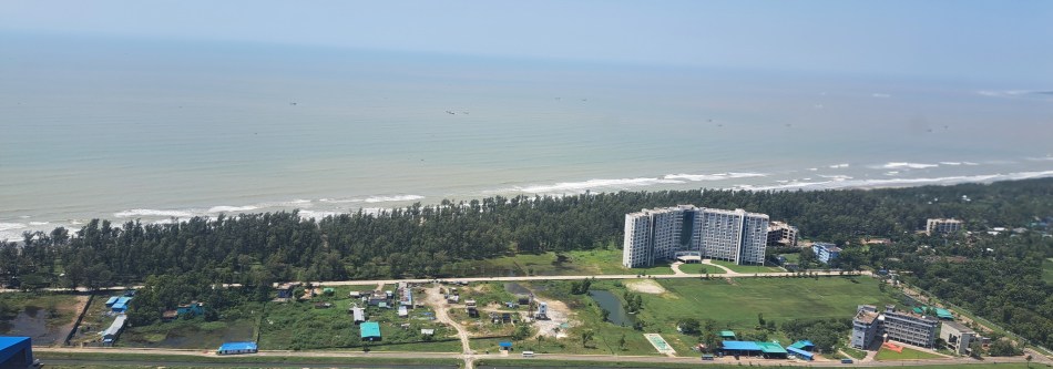 l arrived home late Friday in Amsterdam, and am posting here the first aerial shots I recall ever managing to take that actually show the Coxs Bazar beach from the air. The skies were wonderfully clear, my seat in the plane perfect aside from one fleck on the window (which you’ll only see in one or two of the gallery below, because I’ve mostly managed to crop the photos to eliminate it), so these are photos as the plane flew southward from this northernmost shot to the final views, at the bottom, as we banked east then north for the return to Dhaka on Tuesday last week. There’ll be more seashells and others to come before we run out of our stock, but these will help you imagine those tiny shells in their larger context :-). Oh, and the selfie is the first time I ever succumbed to the most-common trope for people landing in or departing from Cox: everyone takes a selfie. Most folks visiting Cox are tourists, mostly Bangladeshi honeymooners and families. So I’m smiling, because the weather was nice, the visit lovely, and I was finally doing that most stereotypical of Cox airport things, the selfie.


 If your browser loads this as I hope, you’ll see one large photo above that shows Lake Tahoe at the top (north) and the snowy Sierra Nevadas below it; one large photo at the bottom which looks back west and north across the arid western Nevada landscape, to Lake Tahoe and the Sierras. And in between, ten photos I took during the six minutes that elapsed as our plane flew across the Sierra Nevadas, leaving behind California and beginning its flight across Nevada.