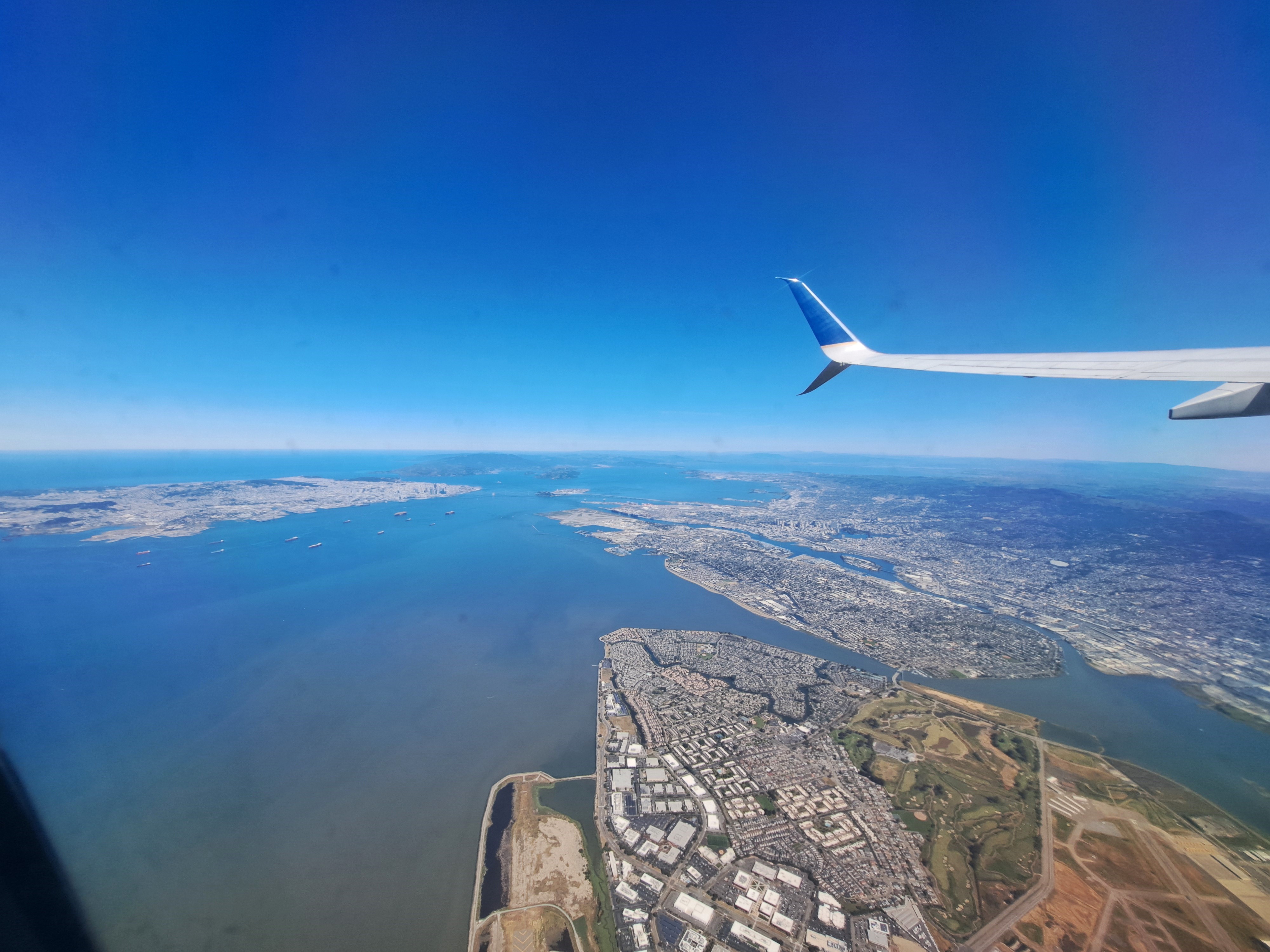
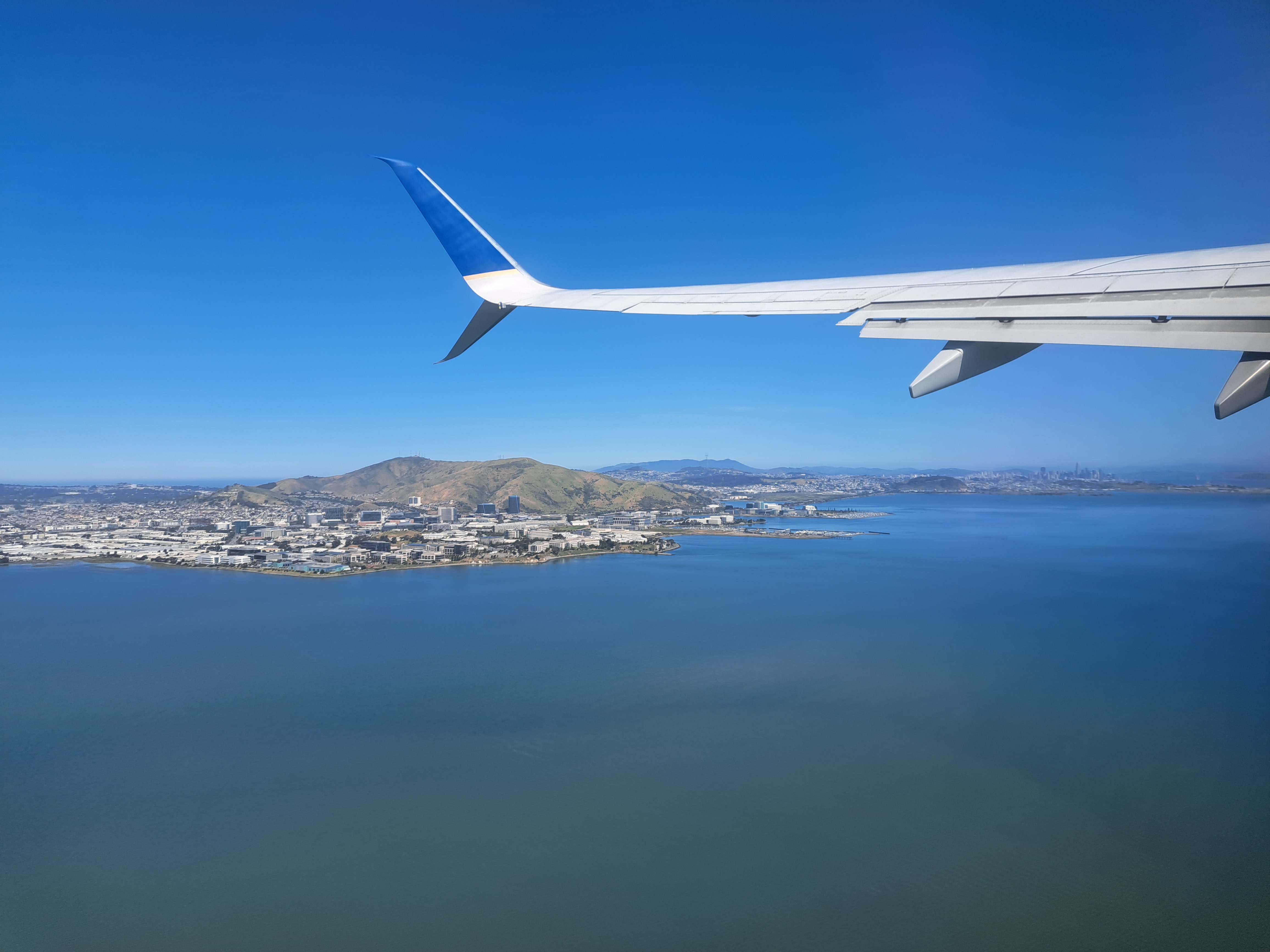
The last shots I’ve not yet posted from our May departure from SFO en route to Pittsburgh. Still plenty left, of snowy Sierra and Rocky mountains and so on. But this is another farewell to the bay-area shots from my most recent trip. For those unfamiliar — open a map of SF and the bay, and then it’ll make sense. SF city itself is that white area in the upper left, while Alameda island is in the middle right, below the wing. The rounded bay you to the top middle is San Pablo bay, which we’ve shown you before – it’s part of the SF Bay but separately named b/c as you see it’s a bit distinct, having various peninsulas and such to define it a bit more clearly.
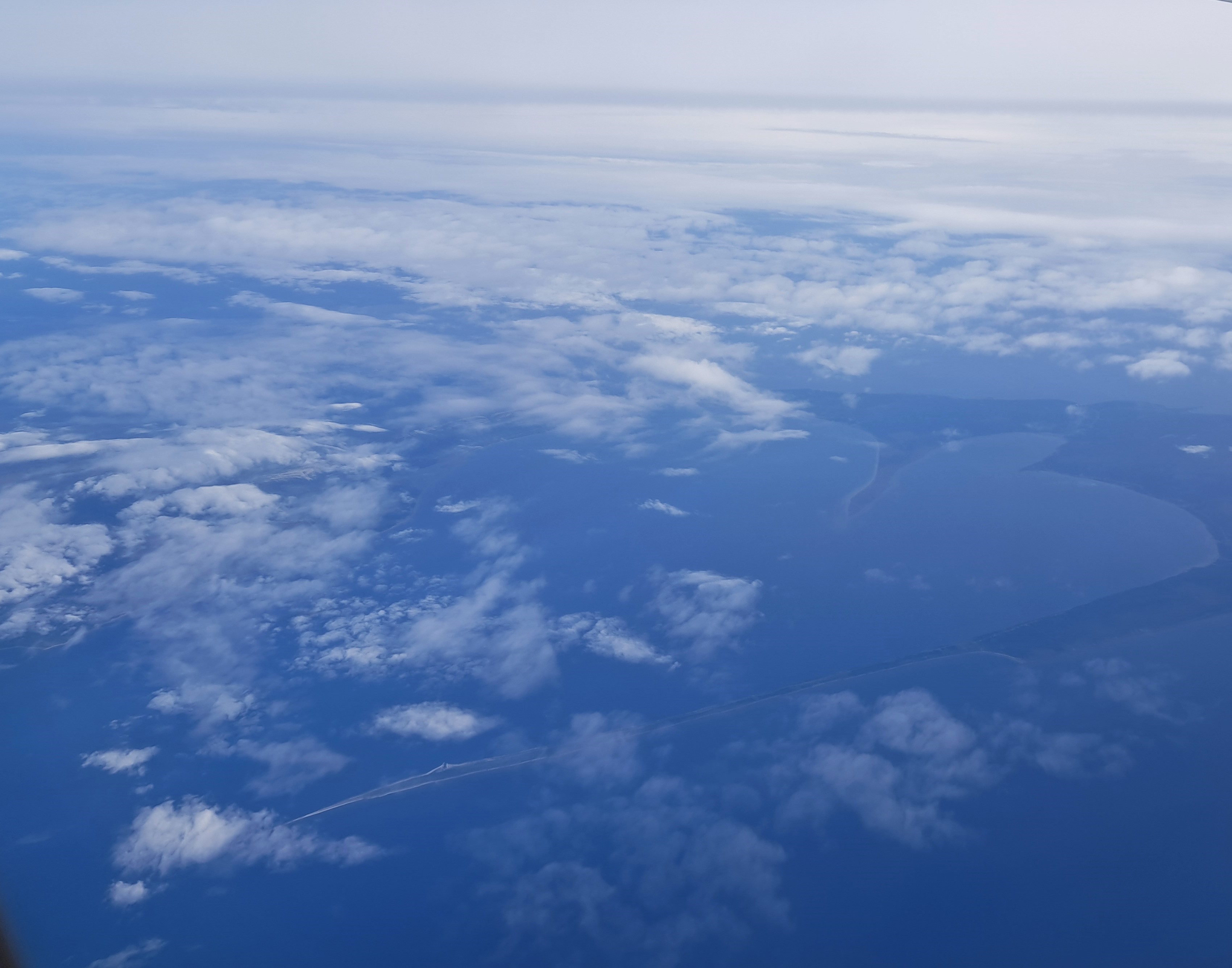
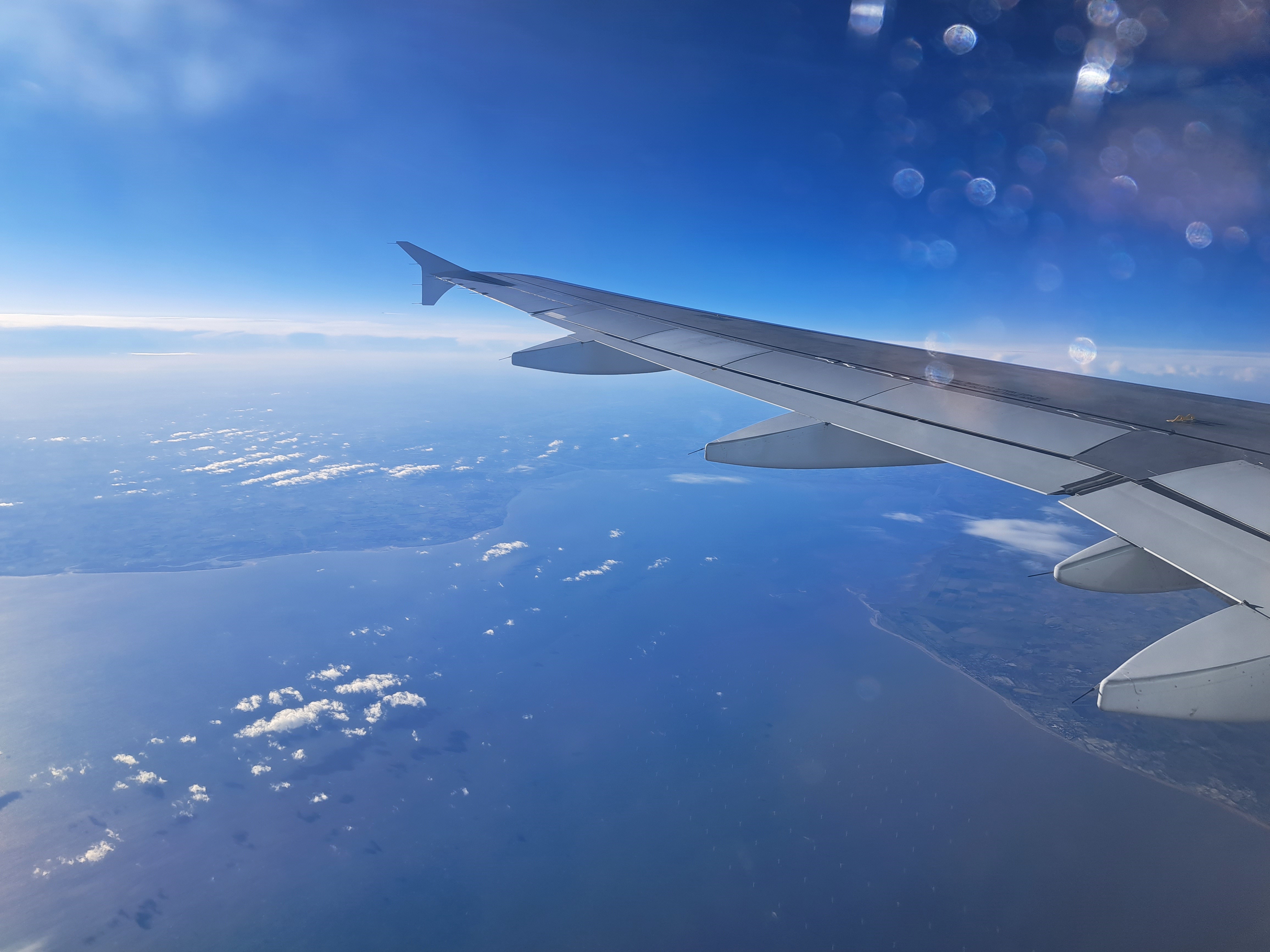
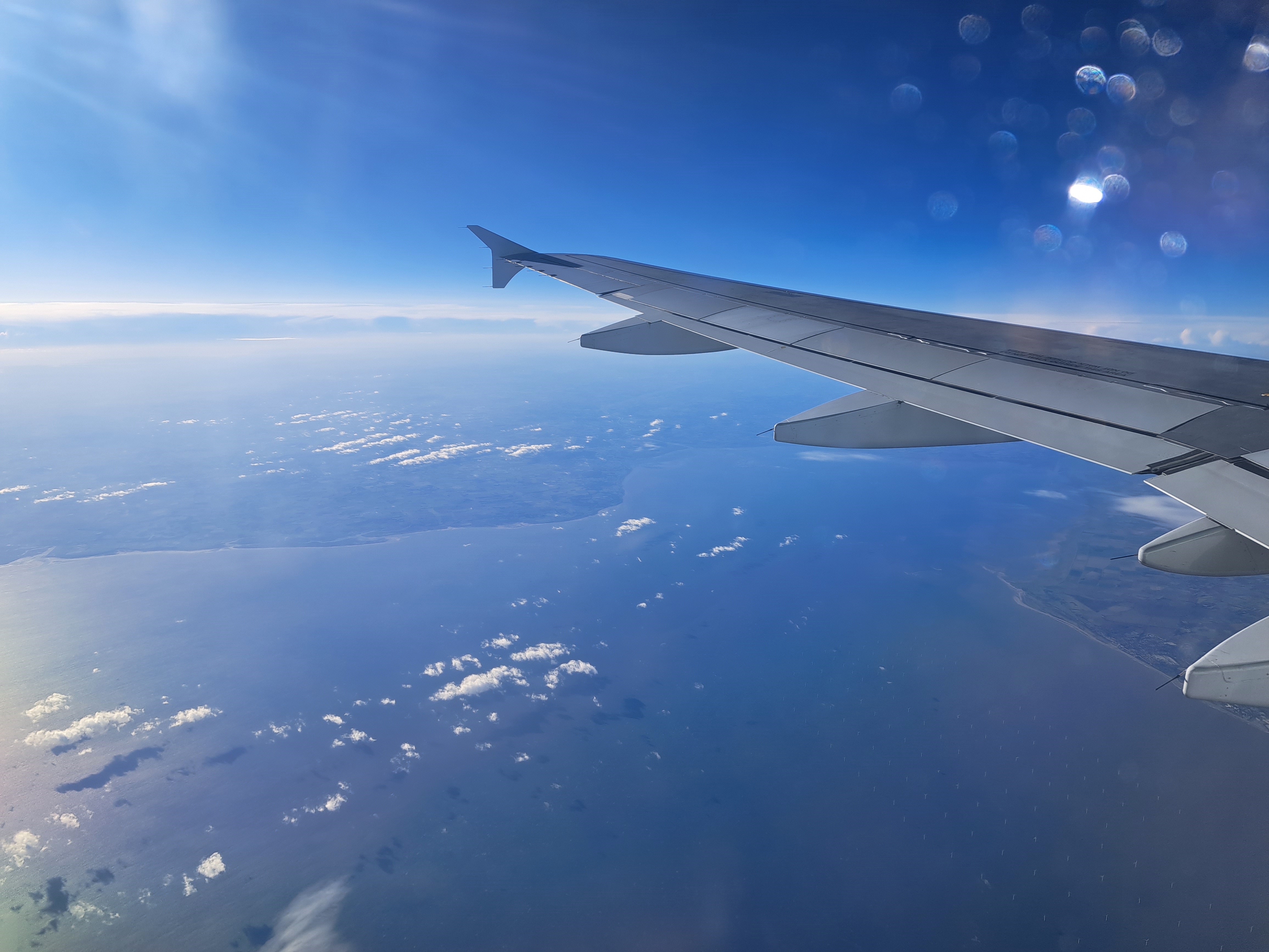
Above, the piece of the southeastern coast of England, and below 15 minutes later with the Dutch coast dimly visible behind many offshore wind turbines. All from mid-May’s return to A’dam after the US weeks.
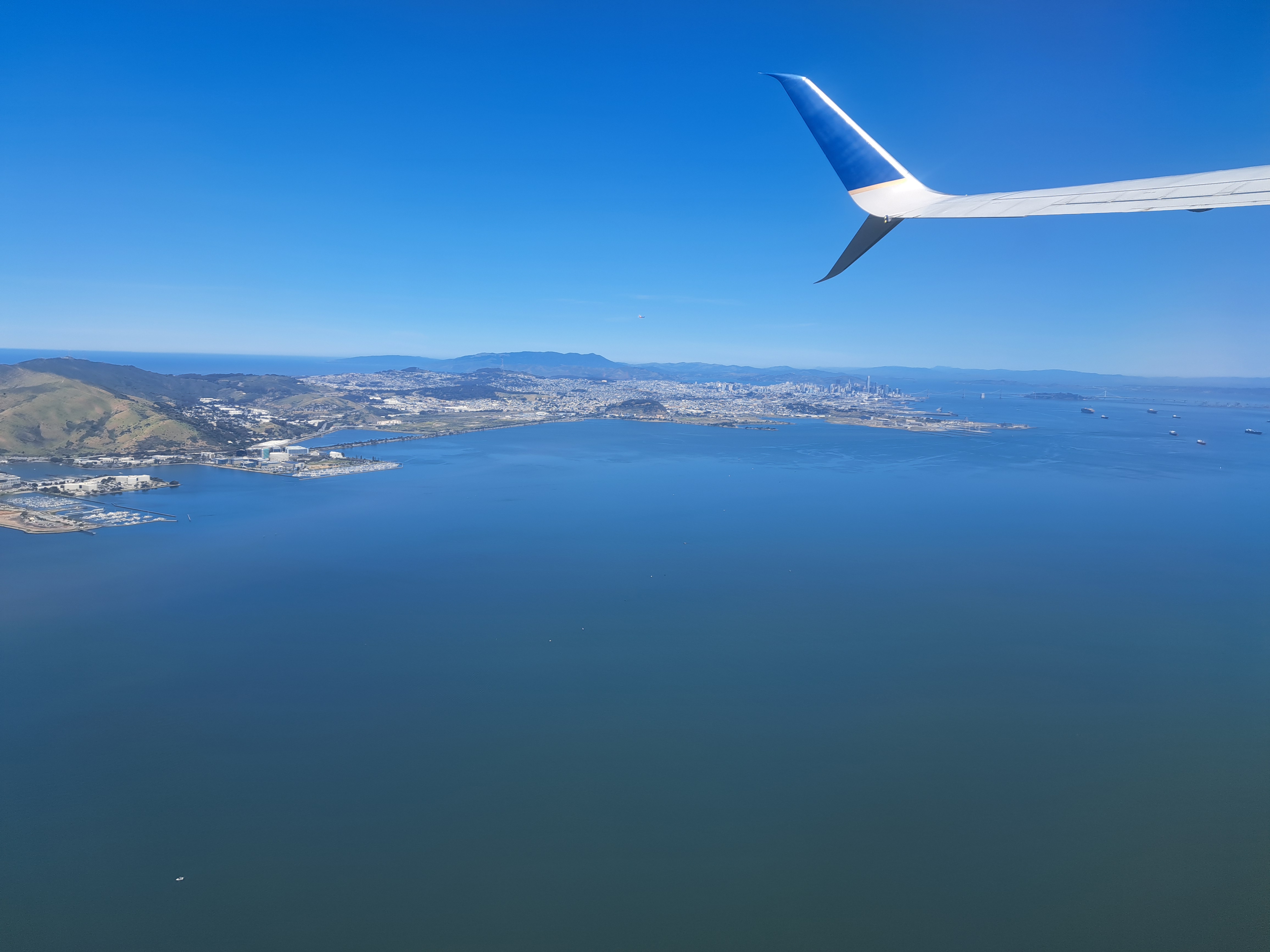
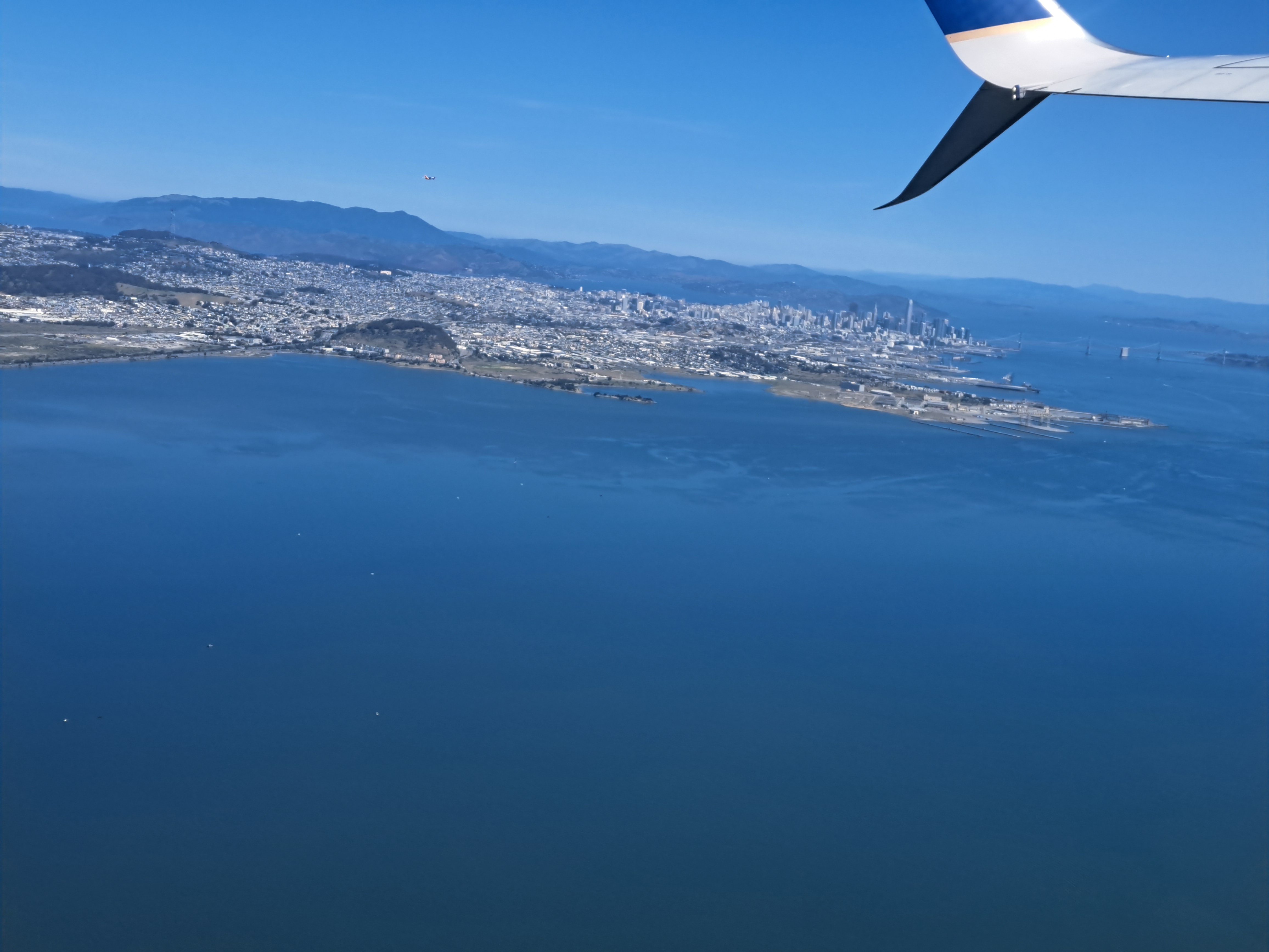
Pacific Coast top left, SF bay above and below, city of SF skyline quite visible below, to the right of Mt Tam(alpais) which is on the other side of the Golden Gate Bridge. Both from my flight out on May 3rd.
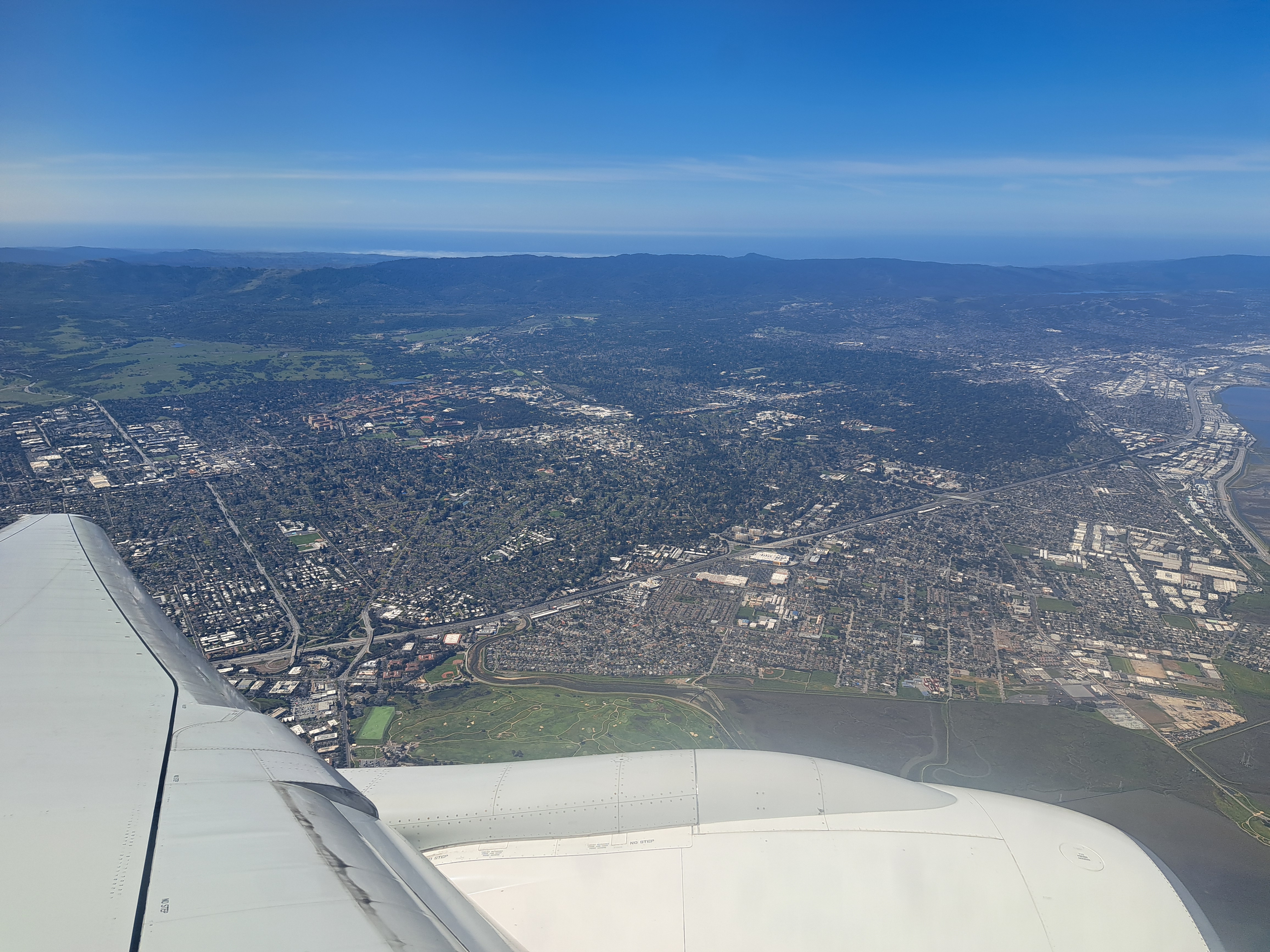
If look closely at the above photo, you’ll see a bay coming in from the Pacific at the top right, carving inland to the top-center. That’s Monterey Bay. I’m posting all the remaining photos from our mid-April approach to SFO, following the flight from Amsterdam which, as we’ve shown you in prior posts, cut over the norther half of Greenland before plunging south along the Pacific Coast. This photo was taken in the midst of our complex circling in order to line up for (north-facing) approach to SFO. If you’re interested in better understanding the geography, just open a map and see how the “peninsula” sits between the (more enclosed) SF bay and the open, further south Monterey Bay. Here we’re beginning a clockwise circle from our southbound course, so I’m looking south and we’re still turning west and north. The shots below follow the rest of that trajectory in order, although the first shot was taken a minute or so before the one above. Enjoy 🙂
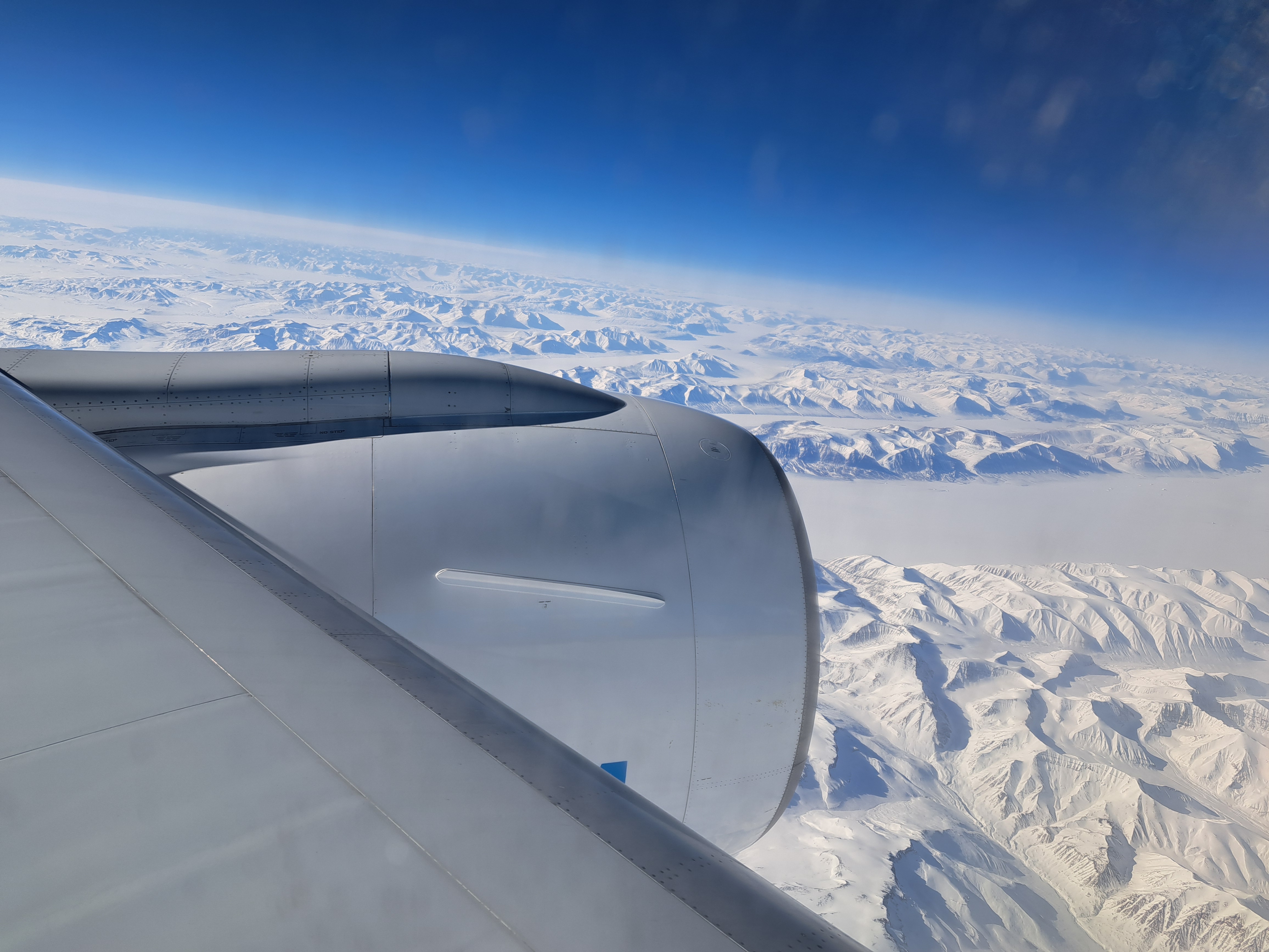
Above, Mt Rainier from on high. Another contribution from Sam: thanks! Below, more snowy mountains, this time in northern Greenland as I flew by in April en route to SF. Theme = snowy mountains, to mentally cool those sweating through hot days :-).
San Pablo Bay (north end of SF Bay), Richmond-San Rafael Bridge; Sacramento – San Joaquin River Delta stretching east from San Pablo to the Central Valley & Sacramento, with snow-capped Sierras in the distance; Mt Tam, Mill Valley, Sausalito & Marin County bottom right as we flew over on 16 April during that long, photo-productive approach to SF :-).
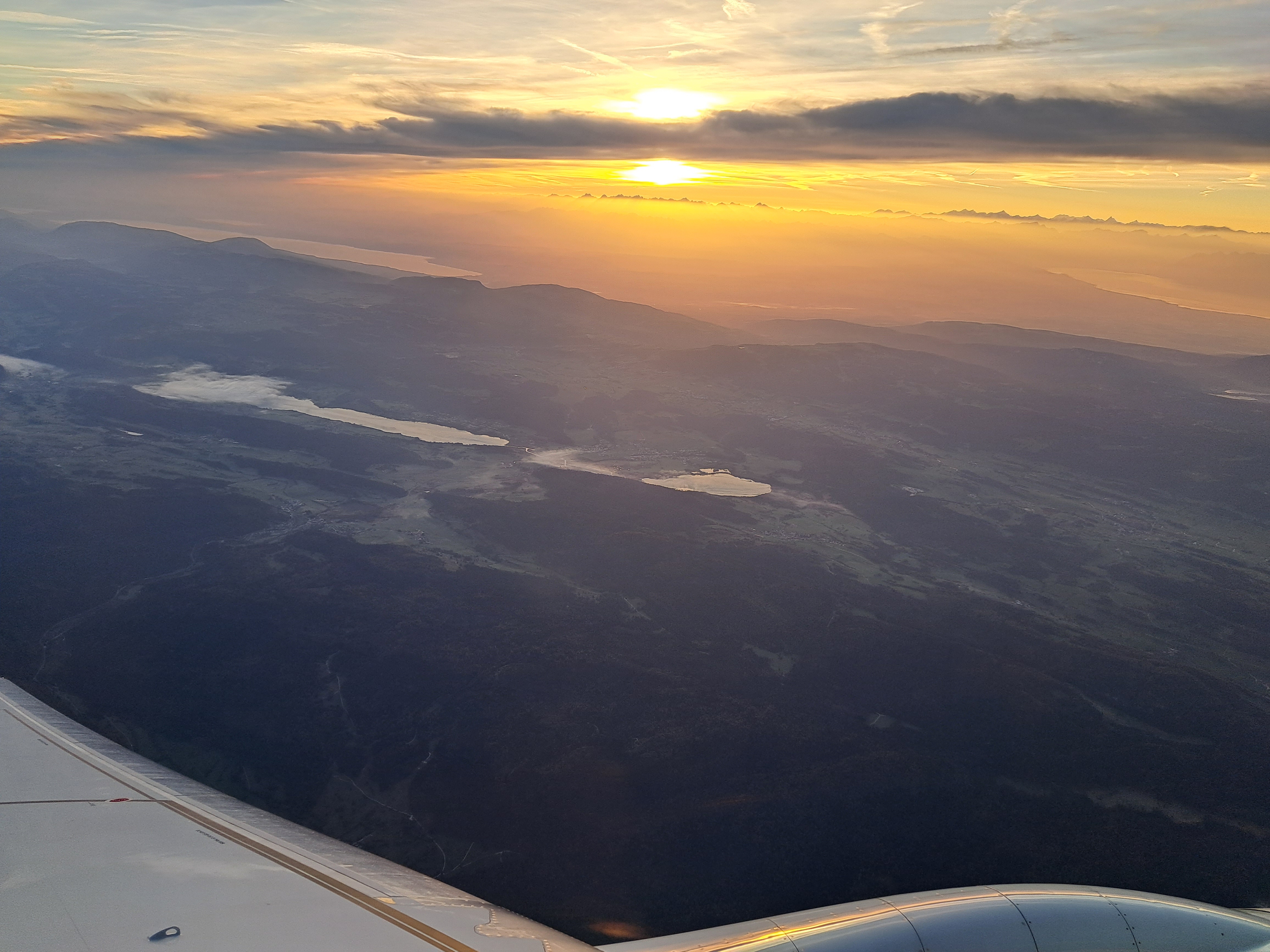
Although I did find the clouds and the dawn sky lovely, I took and am sharing this photo because of the coast of Donegal County, which you can see most clearly just above the turbine / engine. This was a bit just north of the farthest northwest that Nikos and I got in our road trip last November.
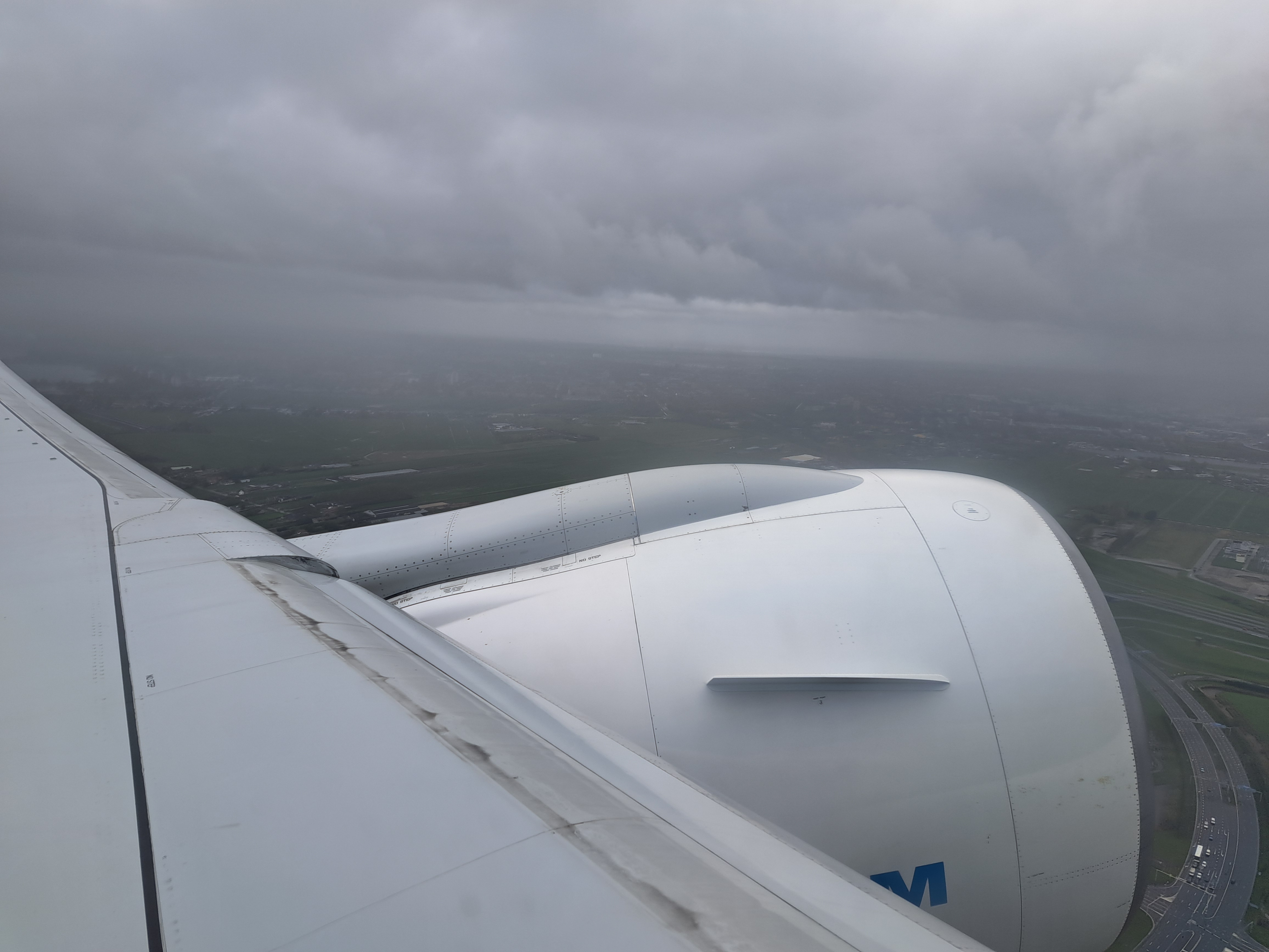
No, it’s not pretty – but it’s the last view I had of my Amsterdam home before the plane entered the heavy cloud layer. Below: the last photo I took before we landed about 10-1/2 hours later at SFO. Bit of a contrast, eh?
We’ll call these both Massachusetts, since I no longer recall what we might have been flying over when I took these last-remaining photos from the flight between A’dam and Boston late on the 18th of August.
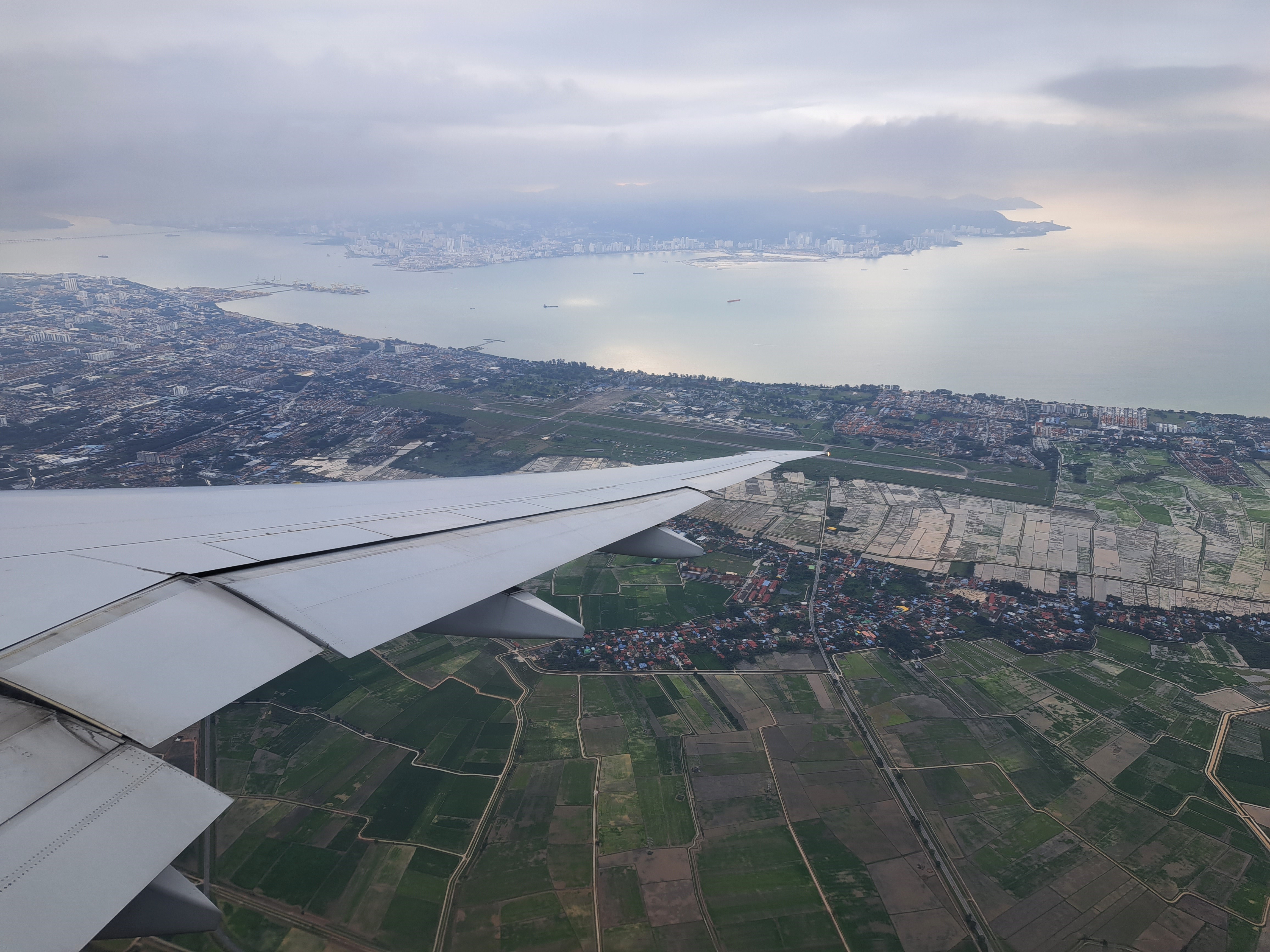
Penang Island from the mainland: above, as seen on 29th of November as we neared our landing; below, as seen during my flight from Kuala Lumpur to Yangon on the 6th of December.
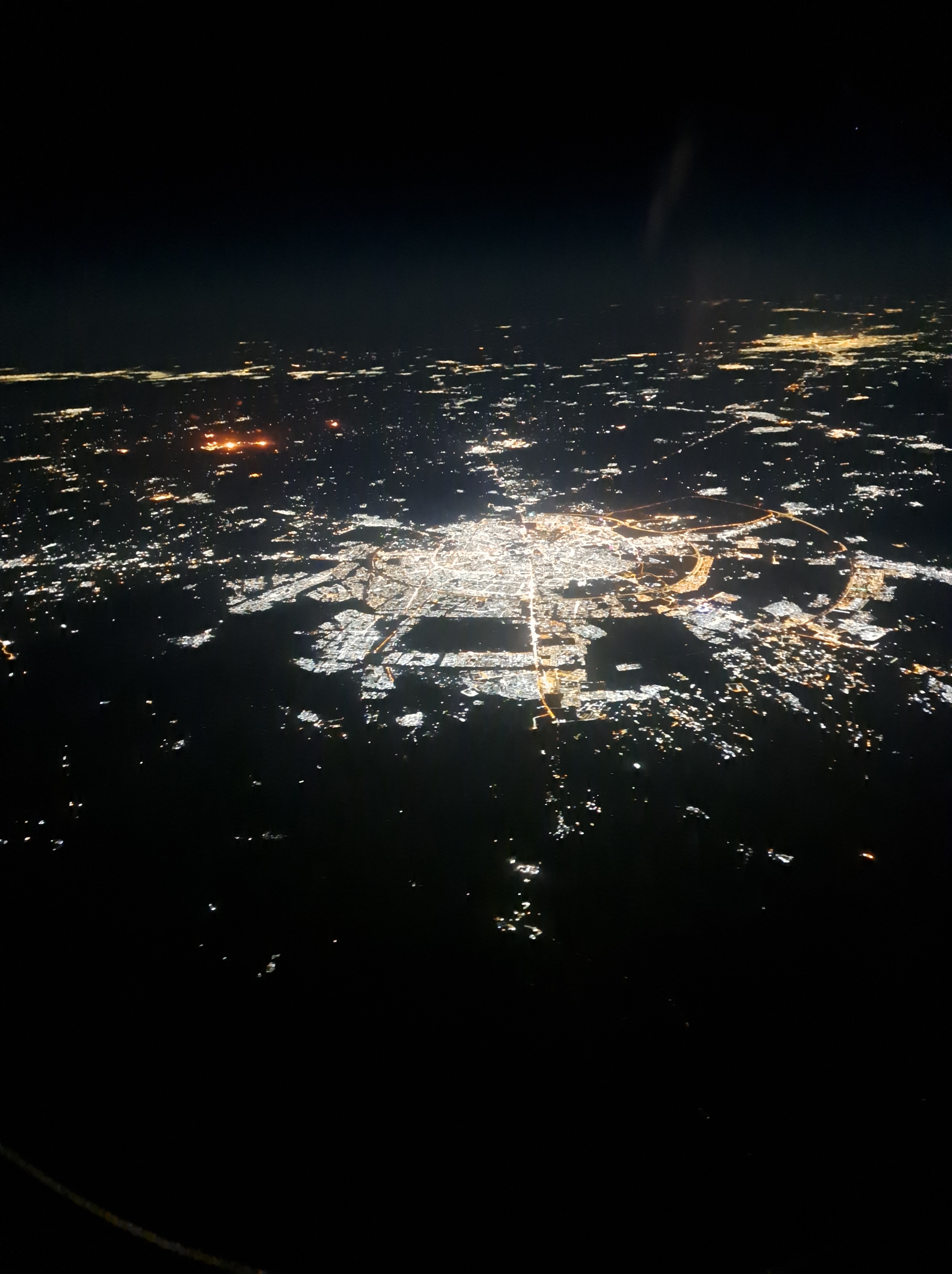
So last week I flew off for some visits to our project locations again, changing planes in Doha. This meant we flew over some parts of Iraq I’ve come to know a bit, and I’m reasonably confident that the city you see here by night is Erbil, though the in-flight map didn’t identify enough cities to confirm this hypothesis.
I do so love when I can look out the plane window and see something that exactly corresponds to the map. This is the little bay just north of Norfolk. It’s on a fairly straight line between Amsterdam and Dublin, so we flew right over it en route to Dublin last week. Might’ve done on the way back as well, but, well, clouds…
We’ve swung a bit southeast to fly in more on the south side of Lac Leman, so you’re seeing Lac Leman at the top right, and more of Lac Neuchatel at the top lef, with some little lakes in mountains in front of them.

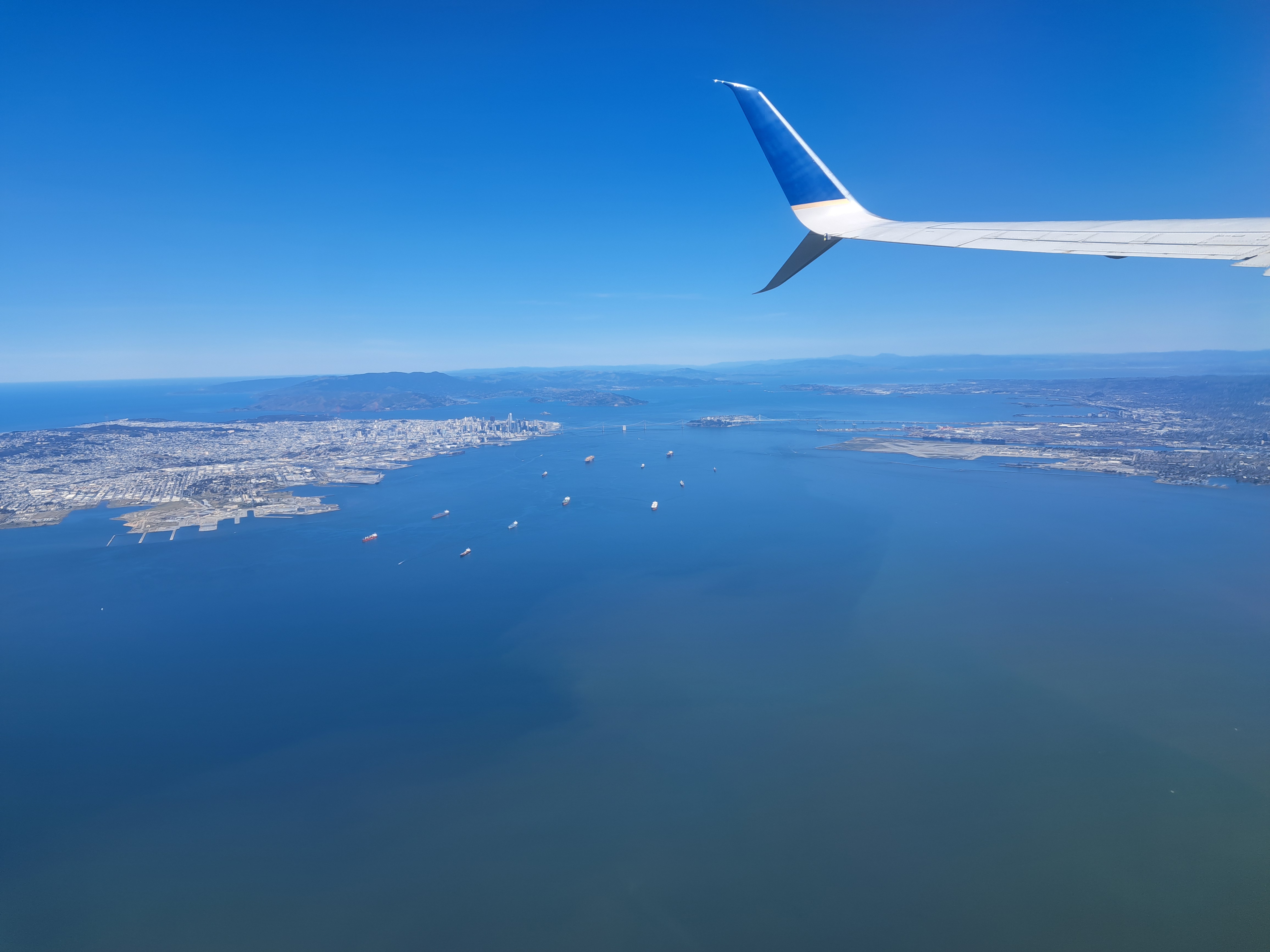


 If look closely at the above photo, you’ll see a bay coming in from the Pacific at the top right, carving inland to the top-center. That’s Monterey Bay. I’m posting all the remaining photos from our mid-April approach to SFO, following the flight from Amsterdam which, as we’ve shown you in prior posts, cut over the norther half of Greenland before plunging south along the Pacific Coast. This photo was taken in the midst of our complex circling in order to line up for (north-facing) approach to SFO. If you’re interested in better understanding the geography, just open a map and see how the “peninsula” sits between the (more enclosed) SF bay and the open, further south Monterey Bay. Here we’re beginning a clockwise circle from our southbound course, so I’m looking south and we’re still turning west and north. The shots below follow the rest of that trajectory in order, although the first shot was taken a minute or so before the one above. Enjoy 🙂