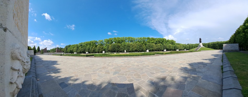
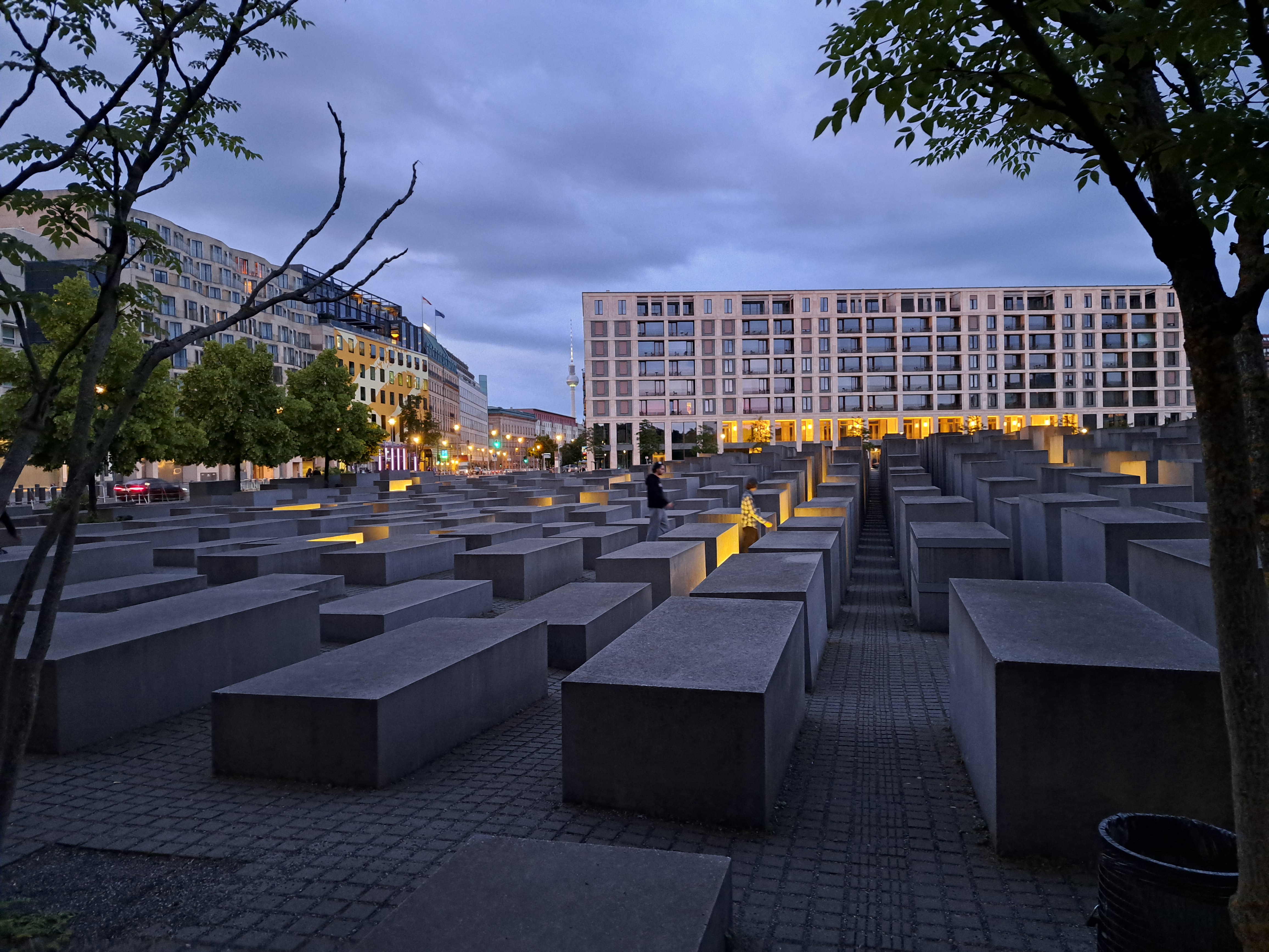
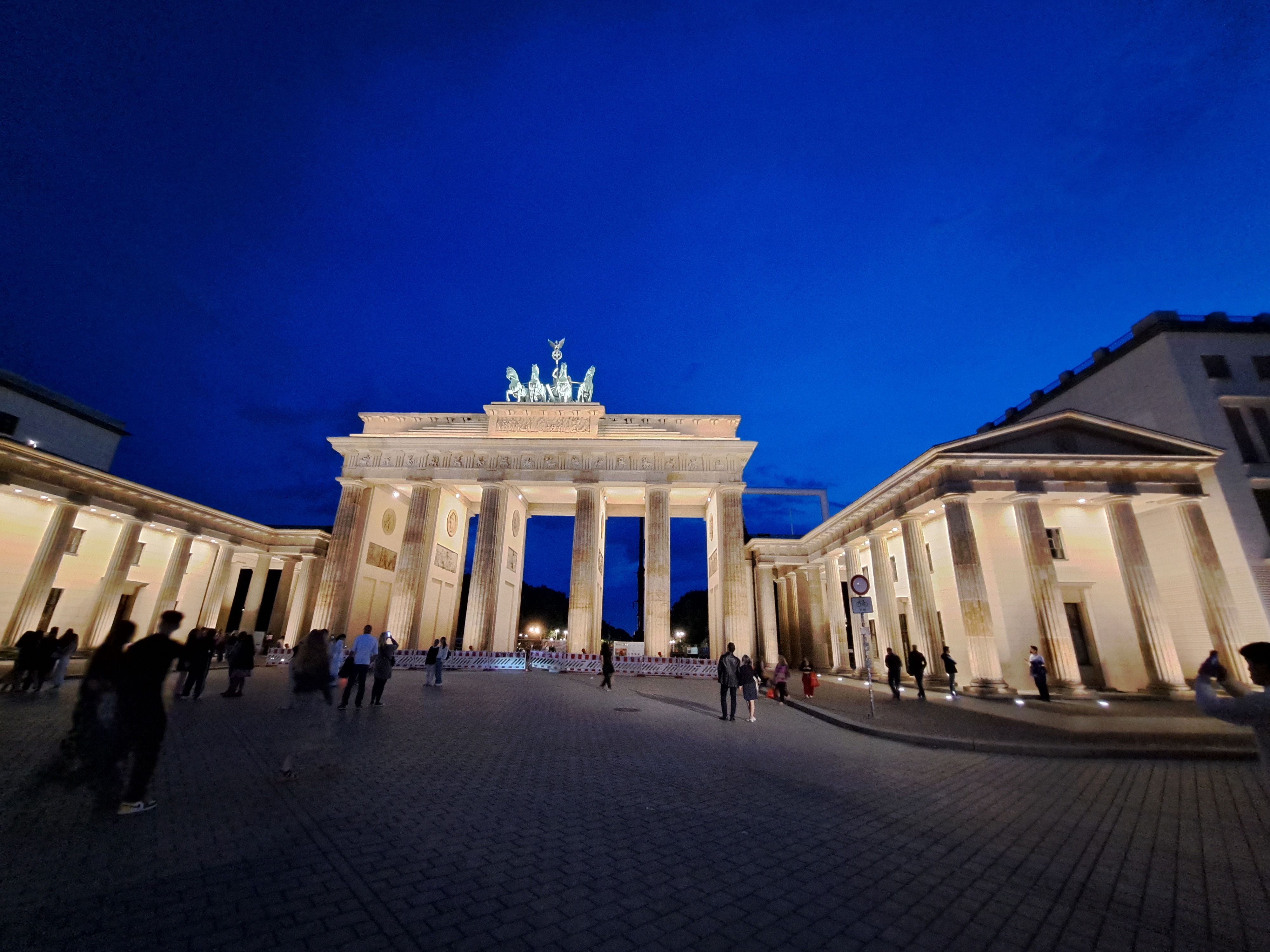
In my second recent post from Berlin last month, I referred to the weight of history I felt while exploring it in detail with my dear brother (and perhaps most consistent reader, “like”-er and commentator), who happens to be a truly distinguished and rather renowned figure in German Studies including much about this very city and that very wall and its history. So I’ve decided to collect many of the photos I took on that trip that express some of the weight of history, pain, division and loss. You’ll see the wall, you’ll see more from the holocaust memorial, you’ll see the DDR-era monument & cemetery for some of the 80,000 or so Soviet soldiers who never returned home to their families after the battle for Berlin in 1945. Since Steve and I first crossed that wall together some time in late 1980 or early 1981, this all felt rather personal and deep for me, especially given all the lived experiences I’ve since had that demonstrate how disastrous wars and violence are for humans, full stop. So, yeah, heavy heart about human (self)-destructiveness, and respect for a city with so much history that keeps on keeping on somehow. Small request, dear Berlin City Government: improve your bike infrastructure and take lanes away from cars. It’s working really well in a lot of other cities – and it’s good for the planet, too! 🙂
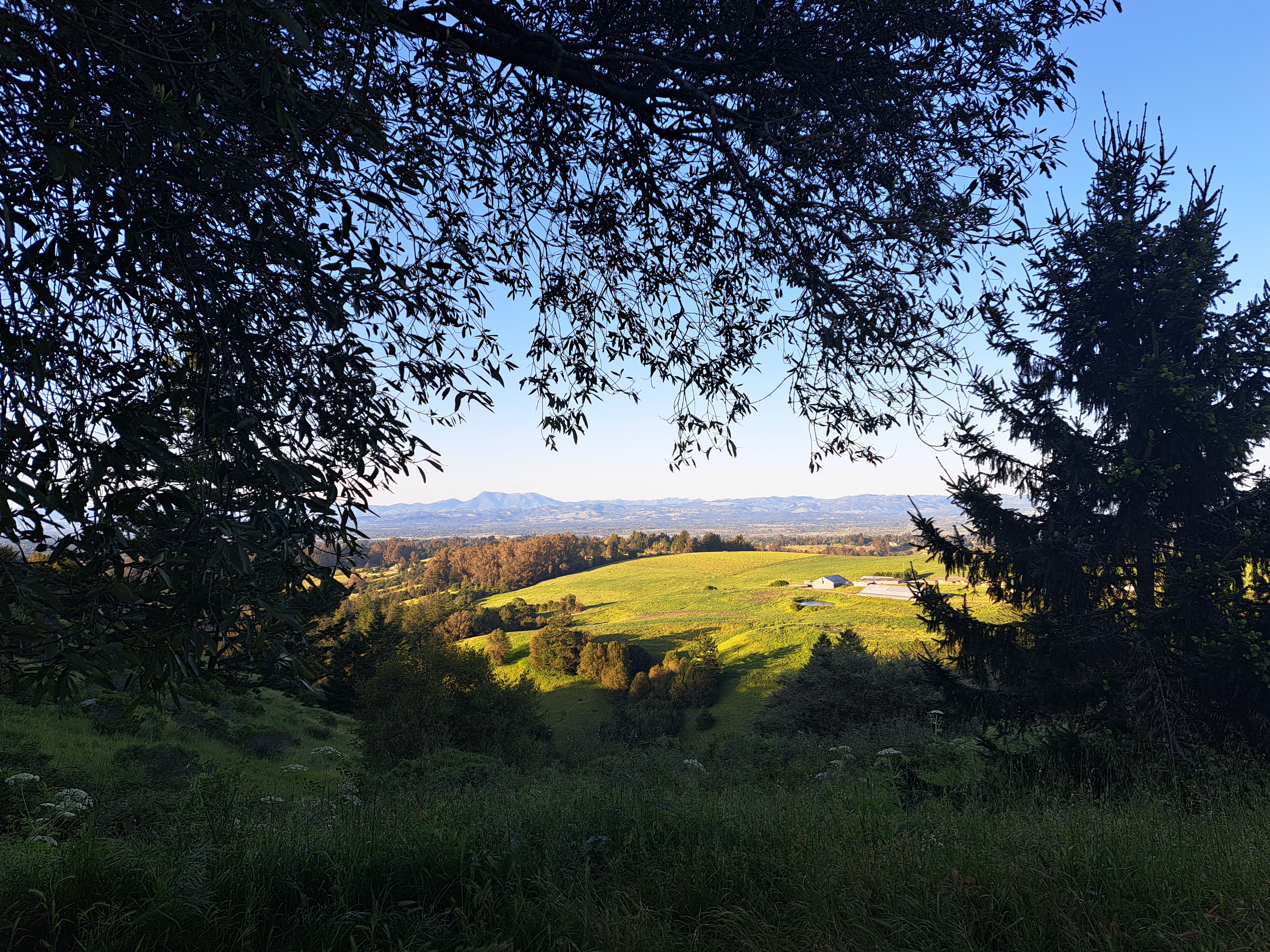
Sonoma County – turns out I didn’t manage to identify all the photos with Mt St Helena somewhere in them when I tried to put them all in one big post early last month. So herewith a few more images from the place that’s still the home of my heart 🙂
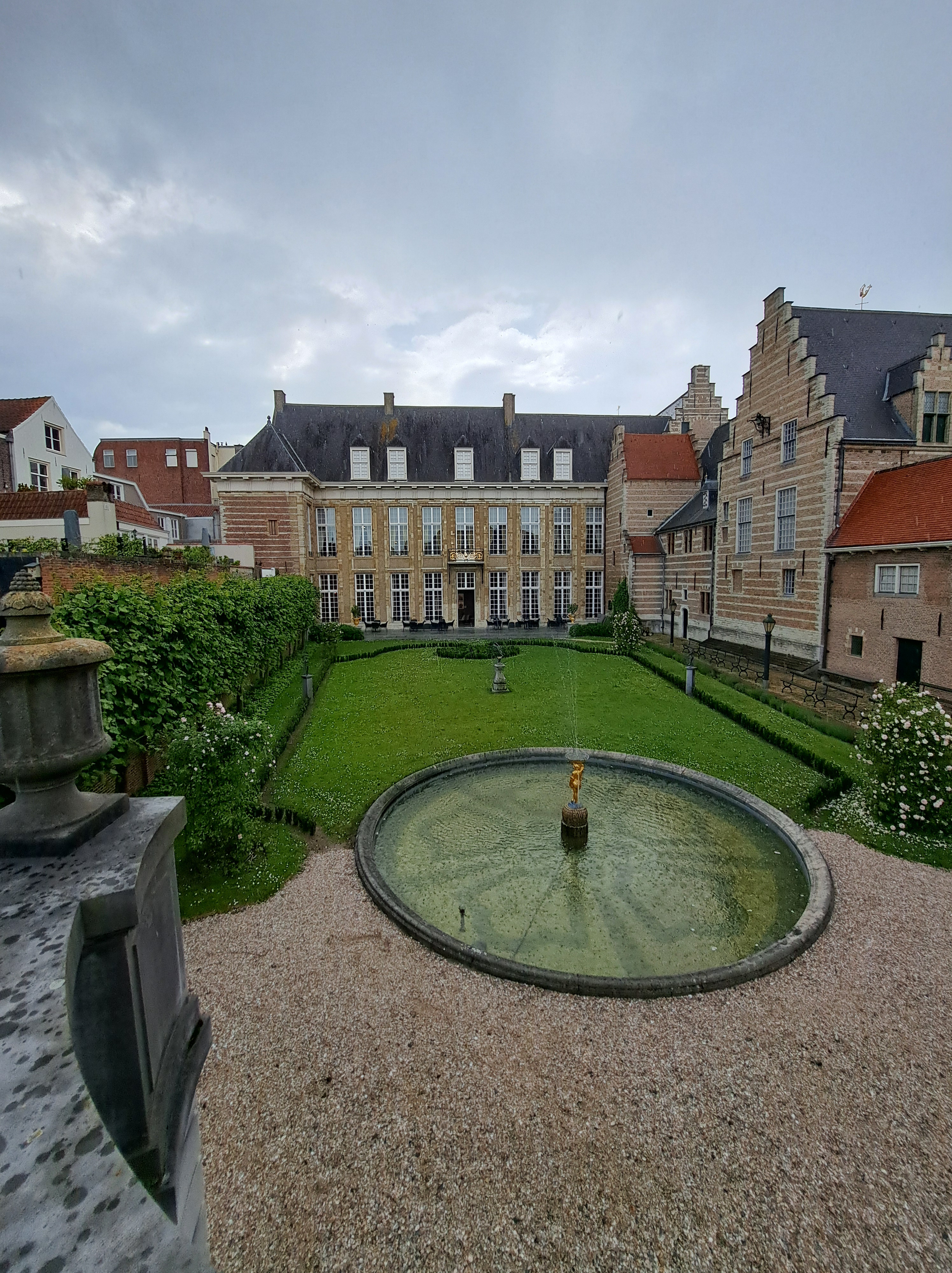
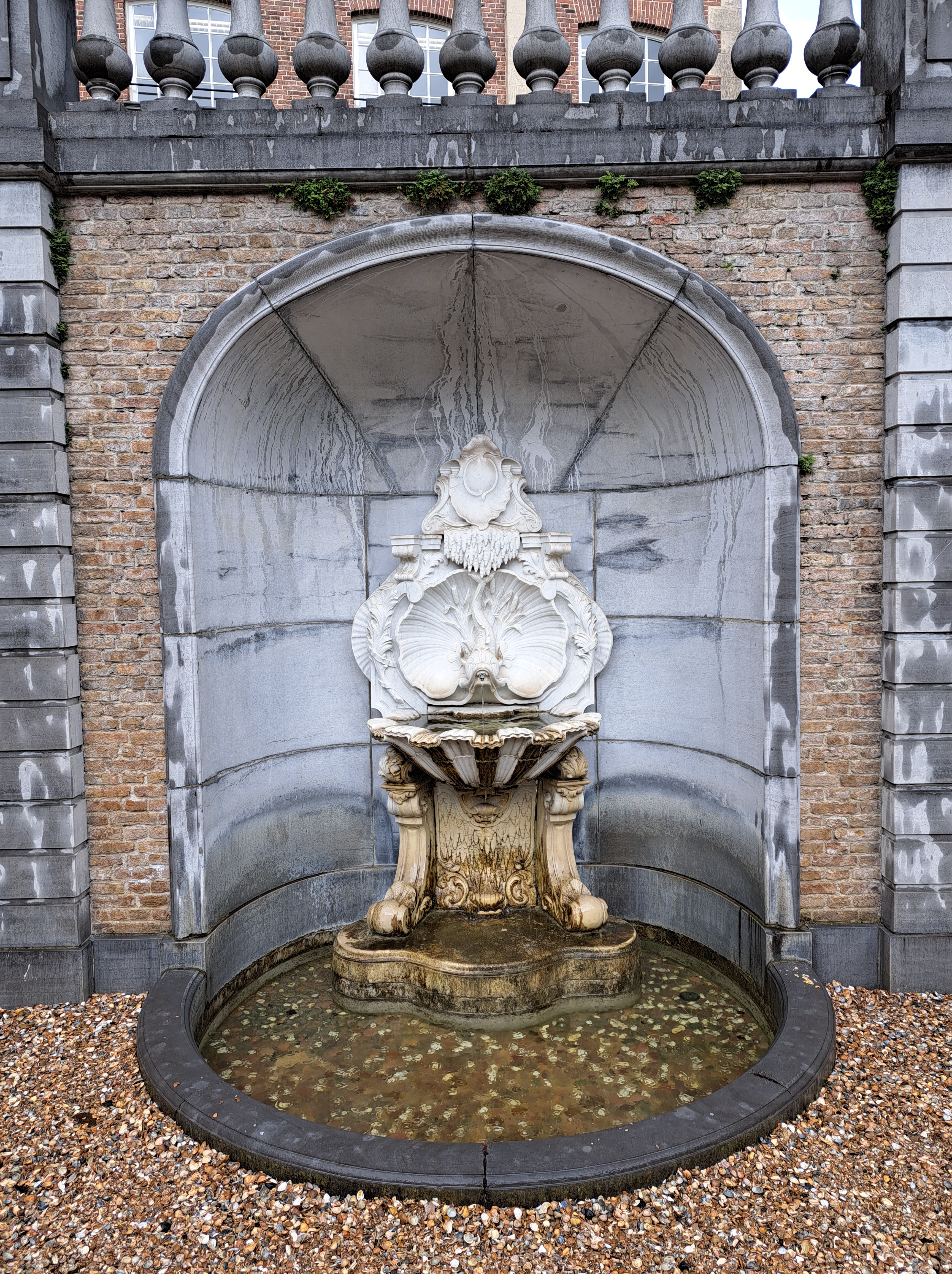
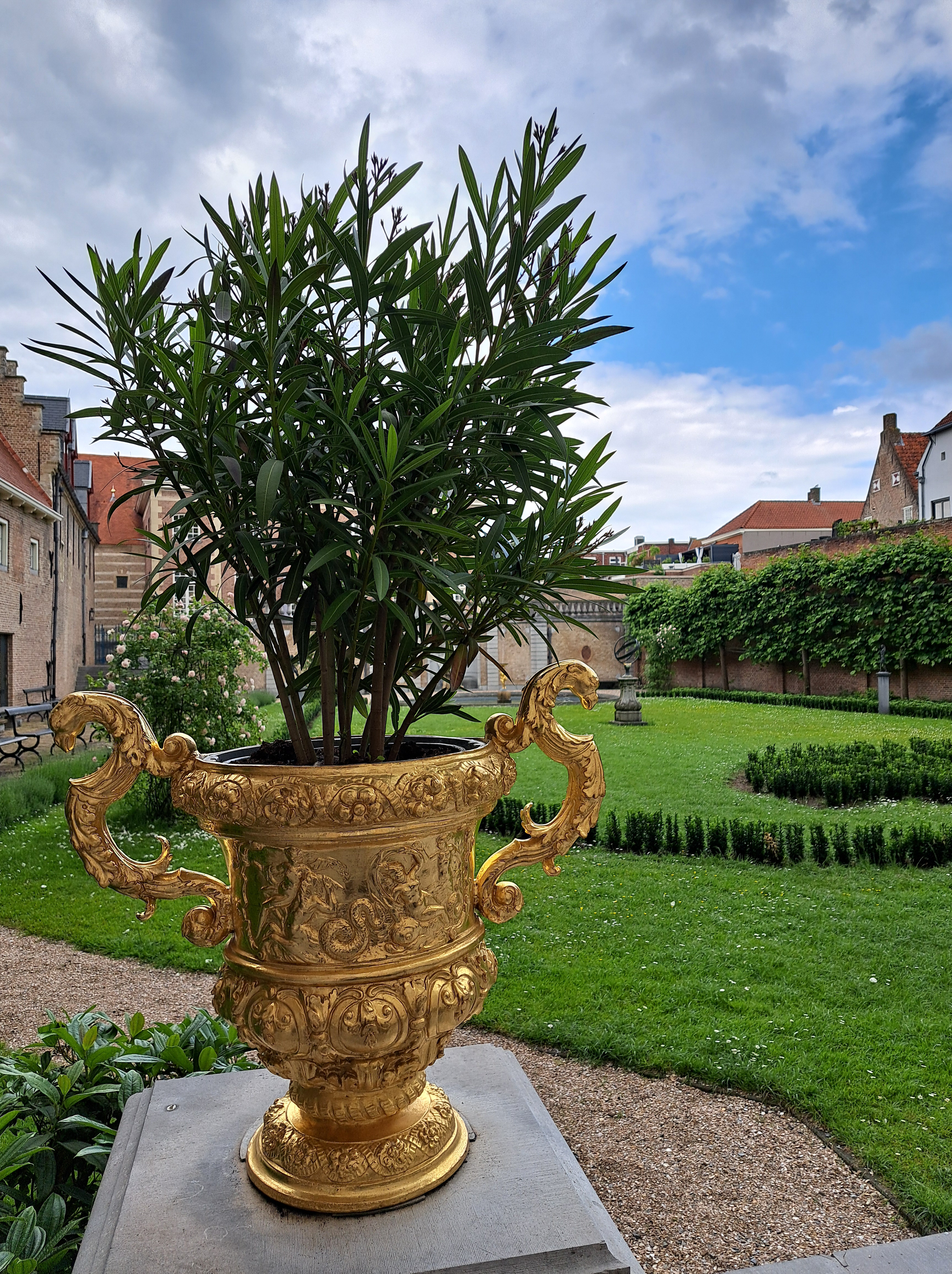
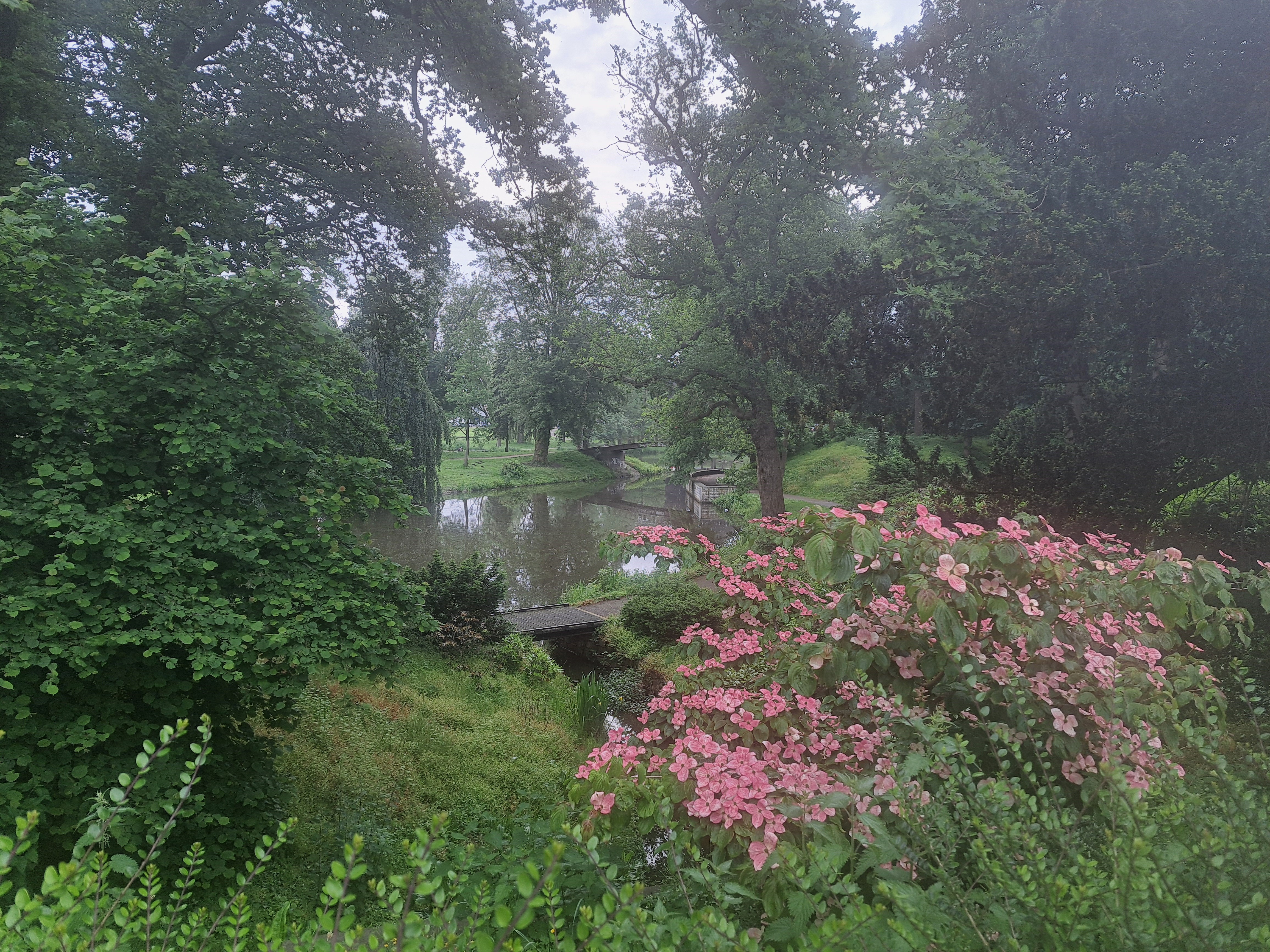
Goodness me, it would appear that I’ve not yet shown you any views of the lovely “Markiezenhof” or “Marquis’s Home,” the museum / formerly – sometime – royal – related historical museum and structure which spurred my bike and train adventure down to Bergen Op Zoom, Vlissingen, Middelburg, and so on. Between this and my visit at long last to the Muidersloot, I’ve concluded that most palace – castle type items in NL (at least those that are now open to the general public as museums) must have a superlative in their self-description. This one says it’s the oldest (maybe also best maintained?) city palace in … all of Europe was the claim, if I recall well. During the Napoleonic wars, this area was a very important prize for the French, so the museum has lots of maps and stories from that time, when it would appear at least Napoleon’s brother and maybe the man himself visited this very building.
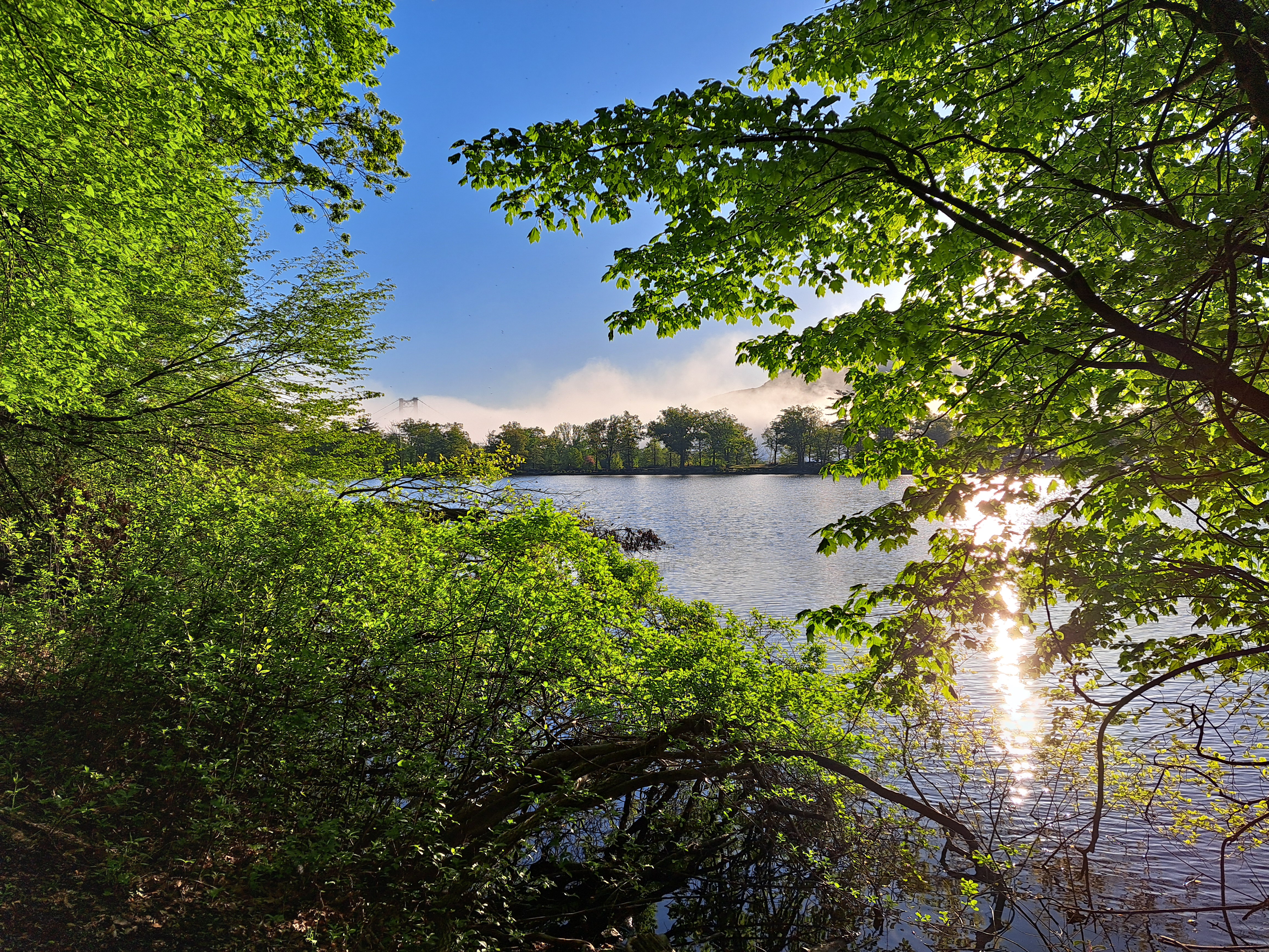
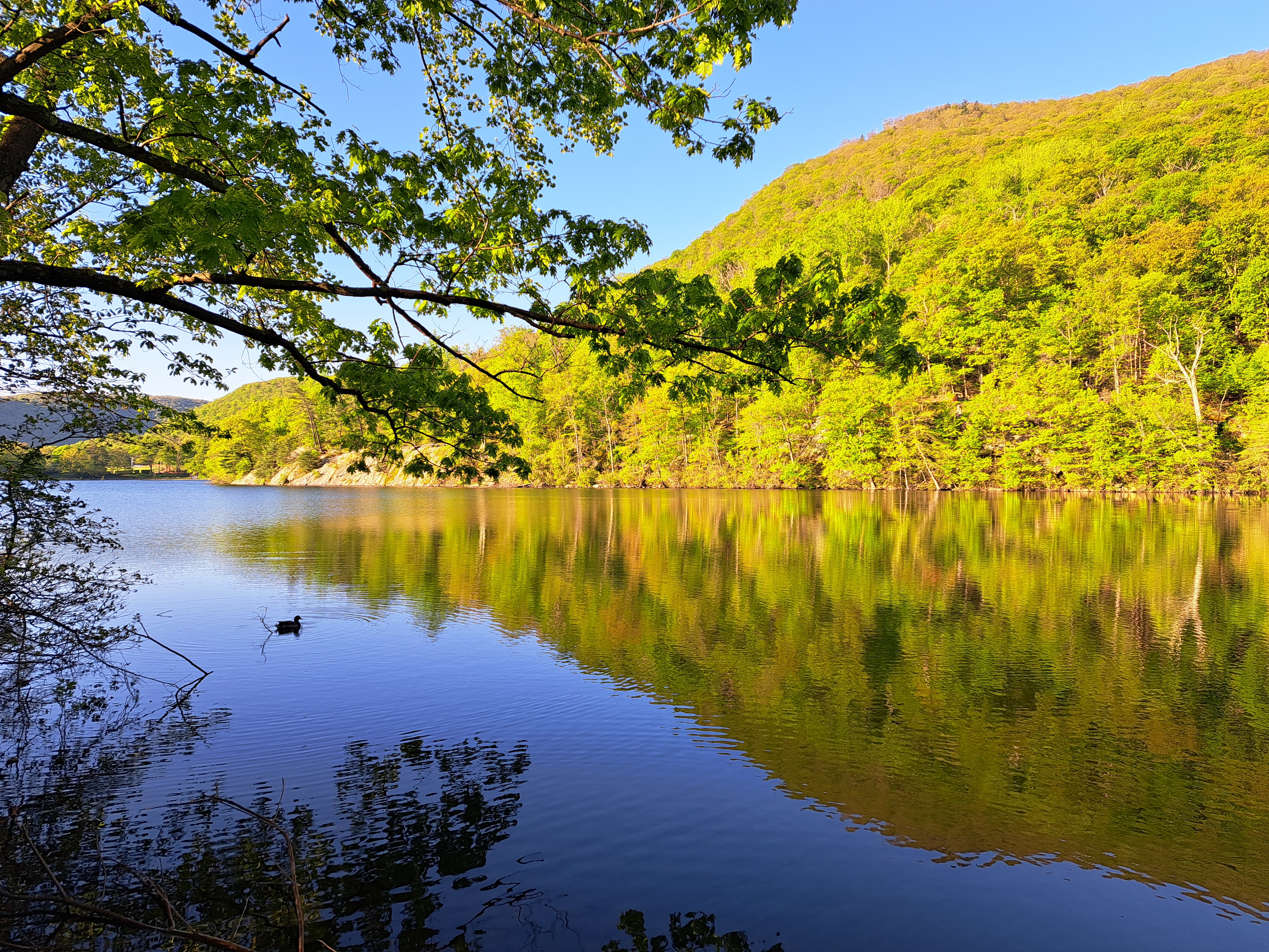
Mostly Hessian Lake, at Bear Mtn State Park, with one image in the middle below showing a turtle-abundant lake at Storm King, with a bit of Andy Goldsworthy’s Storm King Wall rising up out of the water on this side of the lake 🙂
Our farewell, this and the next post, to Bear Mountain, the state park and bridge over the Hudson named after it, and other things we saw during our short stay there a few months ago for our small-family gathering to celebrate memories of Mom :-).
Definitely Mt St Helena top right corner – Mt Tam top left edge, and for anyone who doesn’t know the Bay Area, that’s the Bay Bridge connecting SF (left) to Oakland – Berkeley and the east bay then on to rest of the US. (That’s I-80, connecting from the GWB in NYC to the Bay Bridge right across the whole continent. Though, given how things are going in the US, one must consider that perhaps SF and the bay area might by next year prefer to not be so well connected to the rest of the US, which might make sense considering what so much of the rest of the US seems to think of our part of the country. Hmmm….any younger voters reading this who think there’s “no difference” between the two main choices you’ll have in November: please do not let the perfect be the enemy – and very possibly destroyer — of the good.)
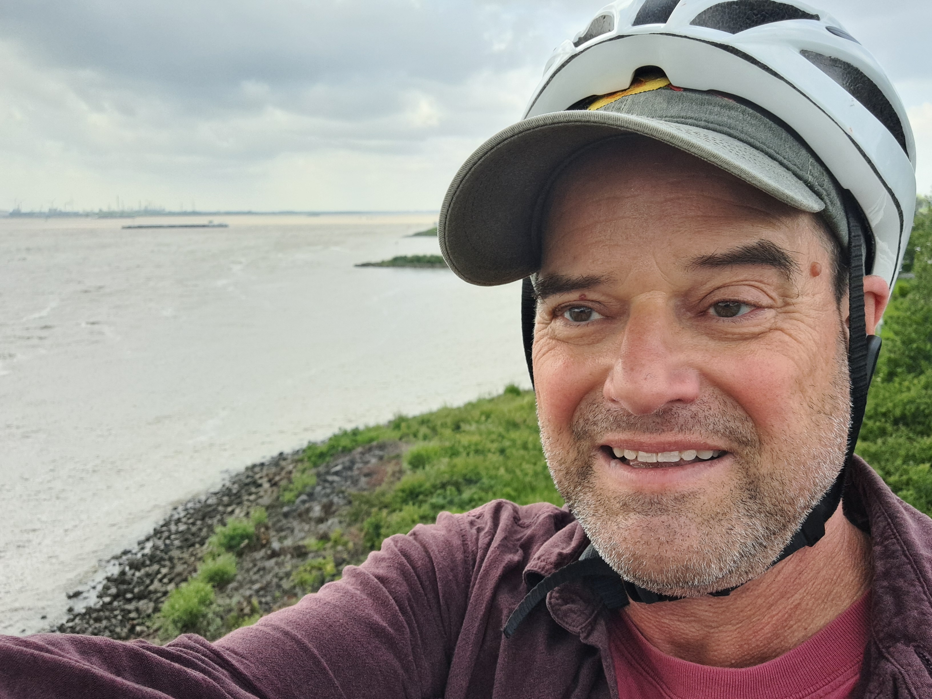
Technically this probably isn’t urban, but it’s such a busy waterway near Europe’s largest port that it feels urban. This is the view looking downstream (towards Rotterdam and the North Sea), from the bridge I biked over as noted in the prior post.
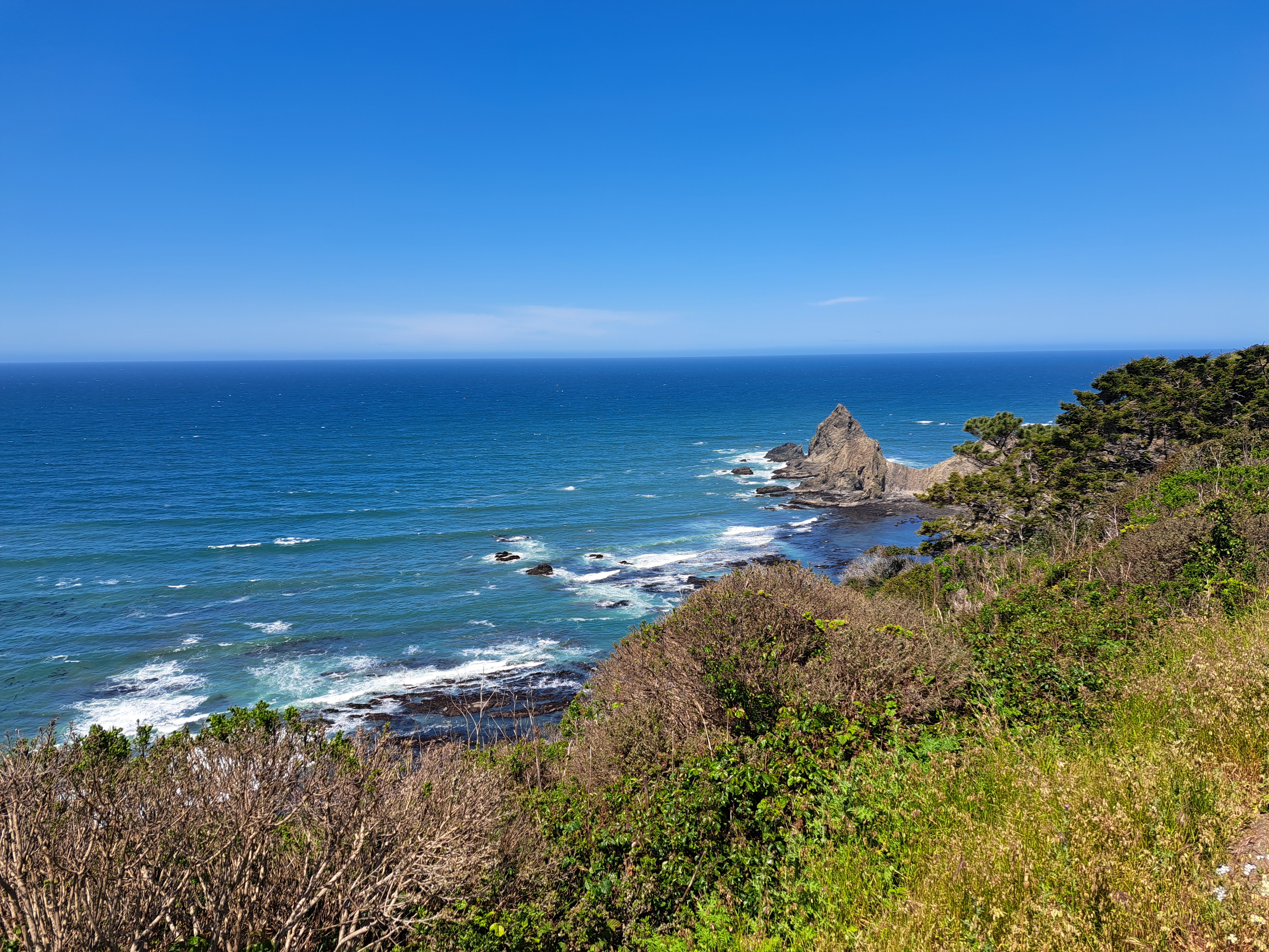
The story behind these two photos above & below is that on the day I’d booked a pre-paid hotel for myself in the lovely Noord-Brabant town of Bergen Op Zoom, I awoke to find that the trains which normally run regularly between A’dam Centraal & Vlissingen (both of which we’ve shown you in the posts linked there) were stopping at Dordrecht. This was due to overhead power lines being out on the bridge over the last big-water crossing in southern NL before the border w/BE a bit further south. All the options being offered included many connections as we did a loop east and then back west, so I said “f-it, I’m sure I can bike from Dordrecht to the next train station south of the water, pop my bike back on a train there, and then continue to Bergen Op Zoom as planned. I mean, after all, it’s not like the bridge is out, and this being NL, there’ll be at least an adequate bike lane and route all the way in.” As demonstrated in the photos below, it was possible, and by the next day I was able to take the train straight through from Vlissingen home to A’dam. ‘Twas fun and felt rather adventurous, if I do say so myself…Later on I realized that Zevenbergen, to which I biked, was actually farther away than the station at Hoge Zwaluwe (I wonder if at least Sam will bother and have time to map-search these places, hmmm…), but had I known and biked there instead, I’d have missed these lovely canals and farmlands above and below, and just been industrial all the way except some of Dordrecht city which was often quite pleasant.
Since this is the main highway connecting all the largest Dutch cities and ports including Rotterdam to the largest Belgian cities and ports including Antwerp and Brussels…well, as you see it’s a pretty long and busy bridge. Still fun, though loud. There was a gas station on the other side where I biked on up and rewarded myself with an iced coffee from the counter of a franchise whose name is common.


 In my second recent post from Berlin last month, I referred to the weight of history I felt while exploring it in detail with my dear brother (and perhaps most consistent reader, “like”-er and commentator), who happens to be a truly distinguished and rather renowned figure in German Studies including much about this very city and that very wall and its history. So I’ve decided to collect many of the photos I took on that trip that express some of the weight of history, pain, division and loss. You’ll see the wall, you’ll see more from the holocaust memorial, you’ll see the DDR-era monument & cemetery for some of the 80,000 or so Soviet soldiers who never returned home to their families after the battle for Berlin in 1945. Since Steve and I first crossed that wall together some time in late 1980 or early 1981, this all felt rather personal and deep for me, especially given all the lived experiences I’ve since had that demonstrate how disastrous wars and violence are for humans, full stop. So, yeah, heavy heart about human (self)-destructiveness, and respect for a city with so much history that keeps on keeping on somehow. Small request, dear Berlin City Government: improve your bike infrastructure and take lanes away from cars. It’s working really well in a lot of other cities – and it’s good for the planet, too! 🙂