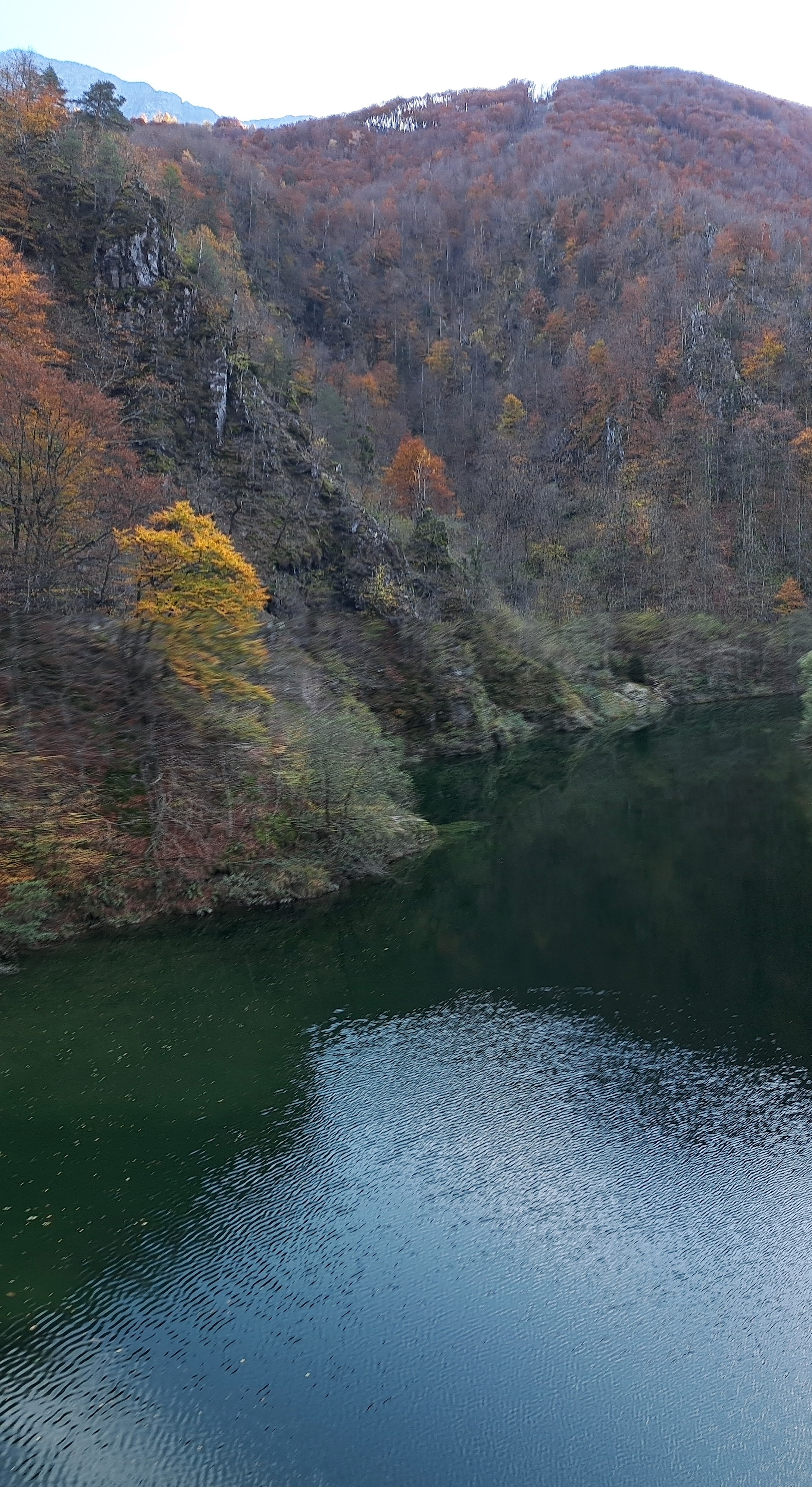
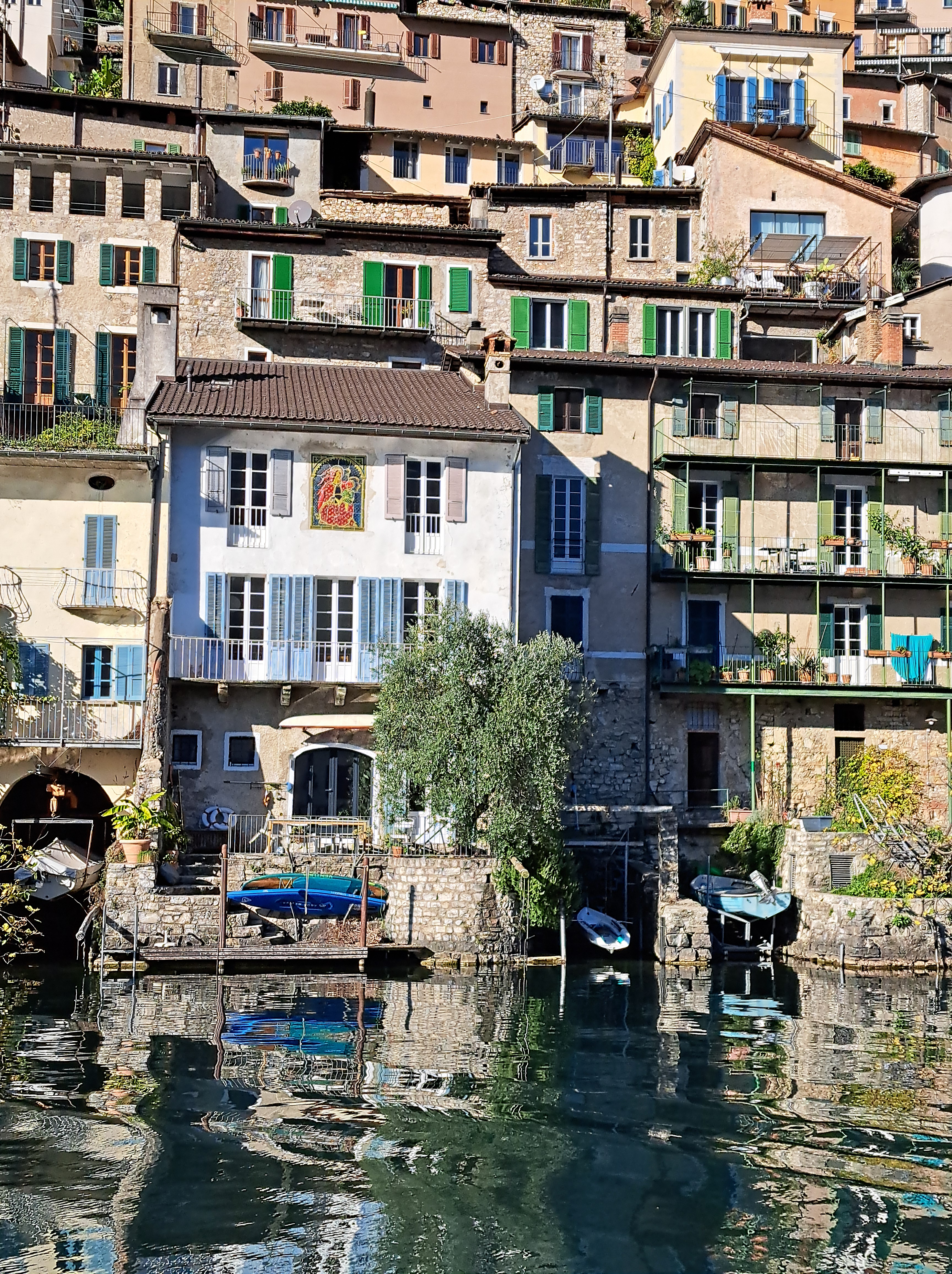
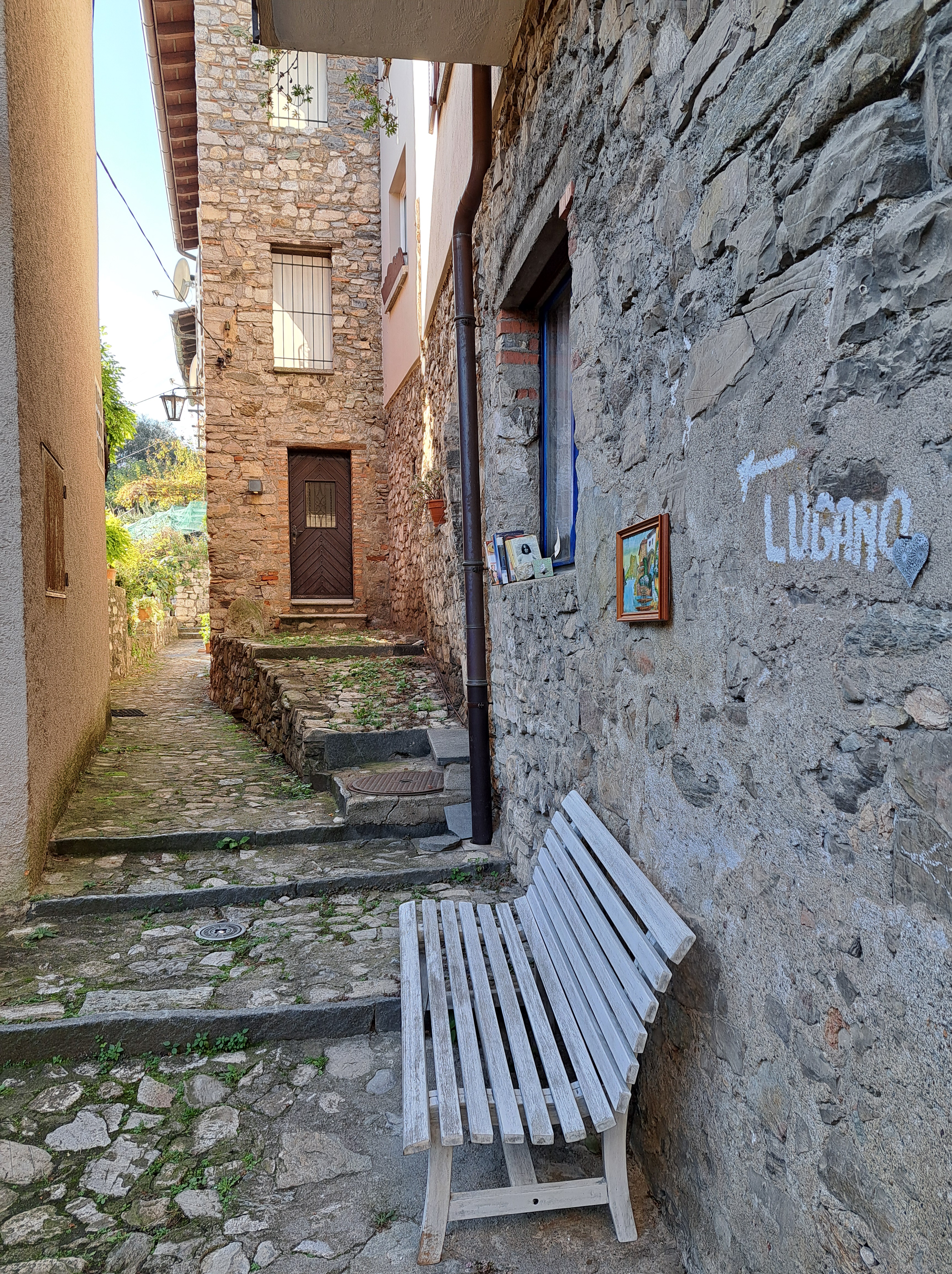
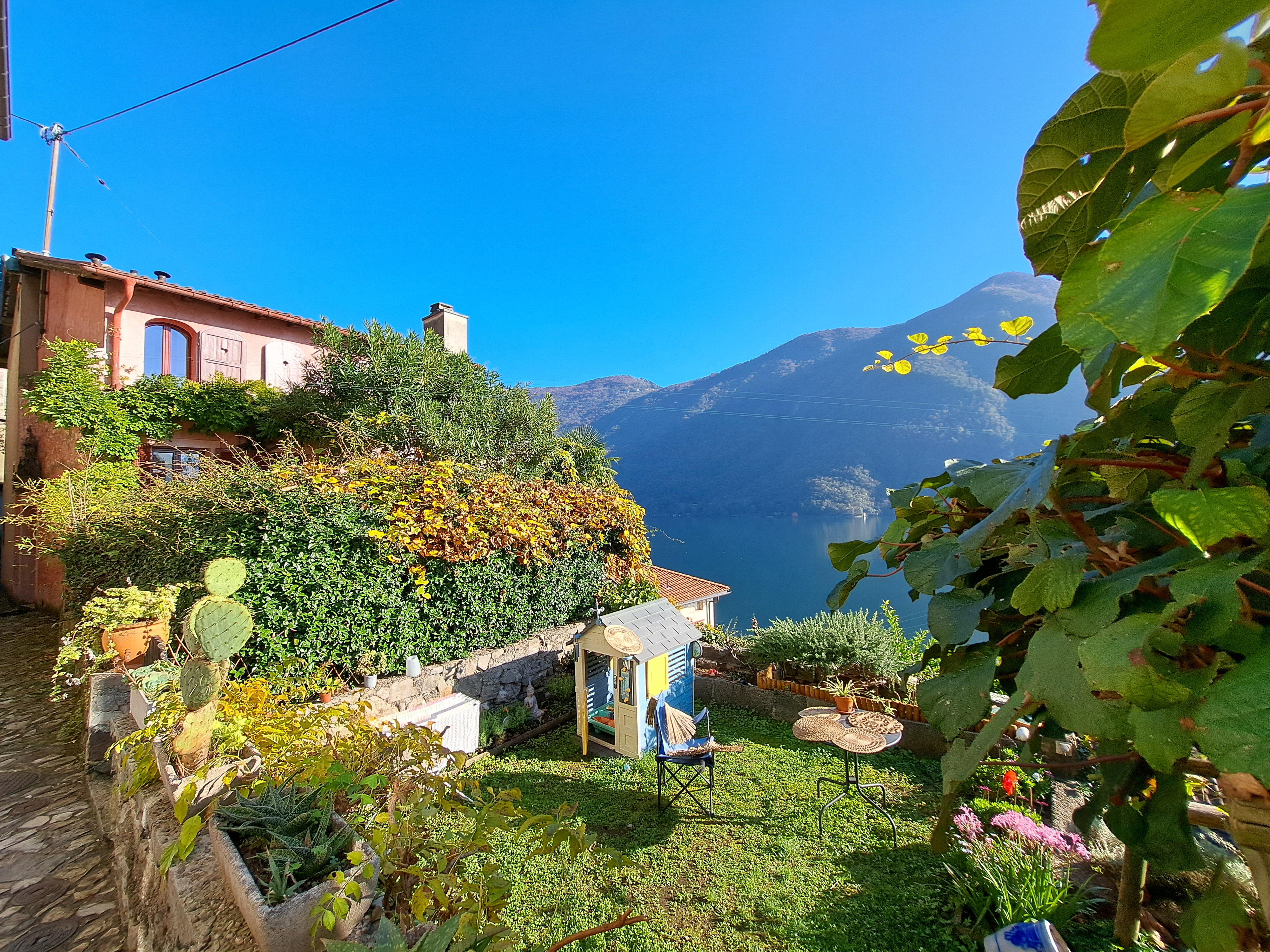
These are all from my first evening ‘living’ if only briefly in the village of Bissone on the southeastern shore of Lake Lugano. Curious about the Italian exclave, and noting that it was a short walk past the nearest grocery store where I’d be buying my dinner fixins and breakfast supplies, I walked on up the narrow road without decent sidewalk and caught these views, some of Campione d’Italia and others looking more south. In the gallery below is another image similar to the one above, which I’m sharing b/c it lets you better see the causeway that made overland travel possible between Melide and Bissone, early in the last century. John (and possibly others equally curious), you’ll be interested in the Wikipedia article on Campione and how it came to exist, and this arch, and the the boundary marker I showed in my last post from Campione.
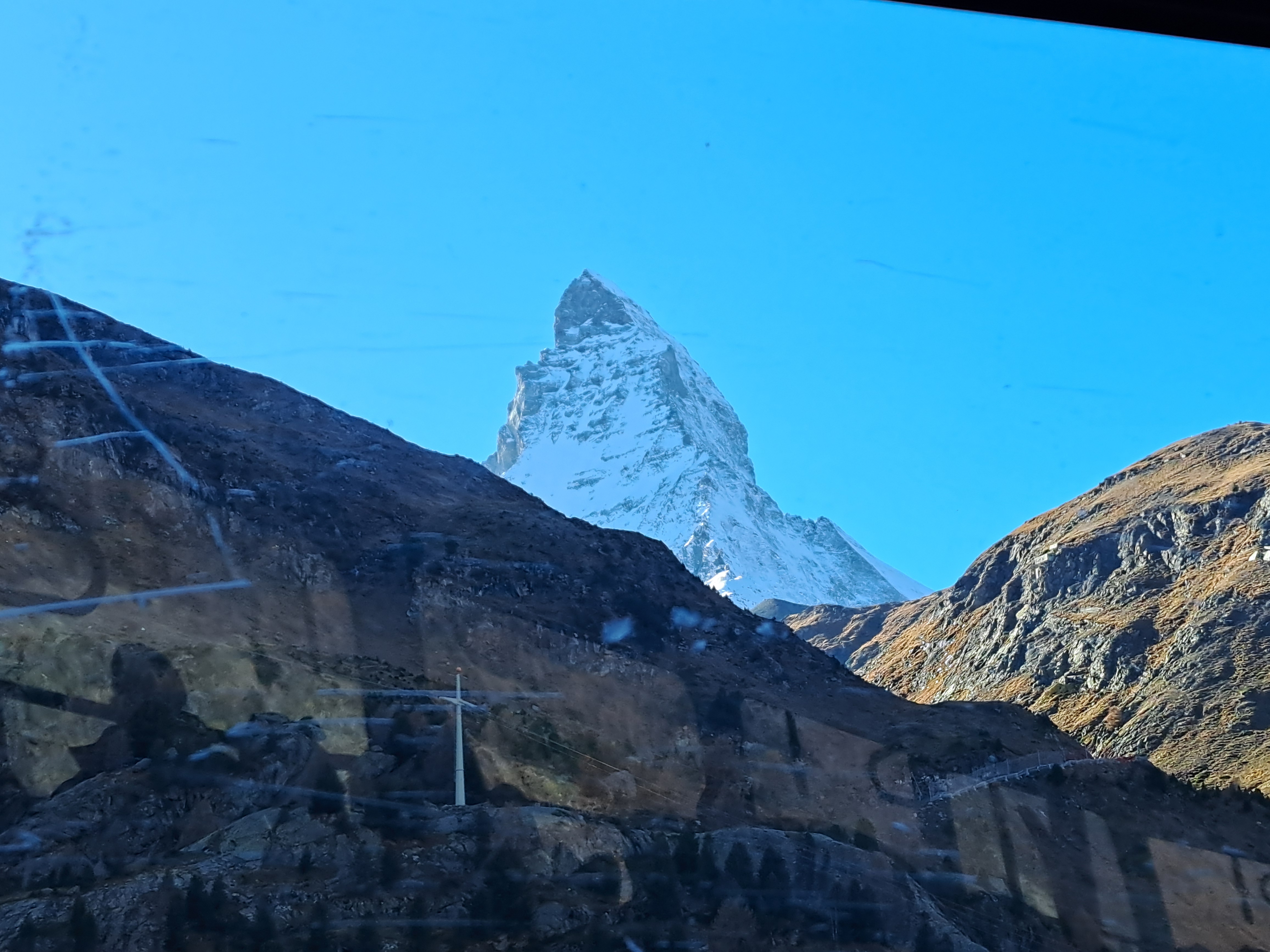
All these shots come from the viewing platform at the top of the building into which the gondolas arrive, and from which skiers ski down year ’round, because indeed up here there’s year-round skiing, though when I was there only as far as the middle station. In the right-hand shot with me just above, I’m pointing at a mountain I sort of thought might be Mont Blanc because of how big it is both in height and mass. I couldn’t get anyone to solidly confirm or deny my idea. And yes, that pyramidal mountain on my other side is the Matterhorn seen from the southeast and not too far below its peak. On the left, notice the sign showing which mountains are which. As I recollect, the similar sign on the other side was weather-worn enough that one could not definitively confirm or deny my hypothesis.
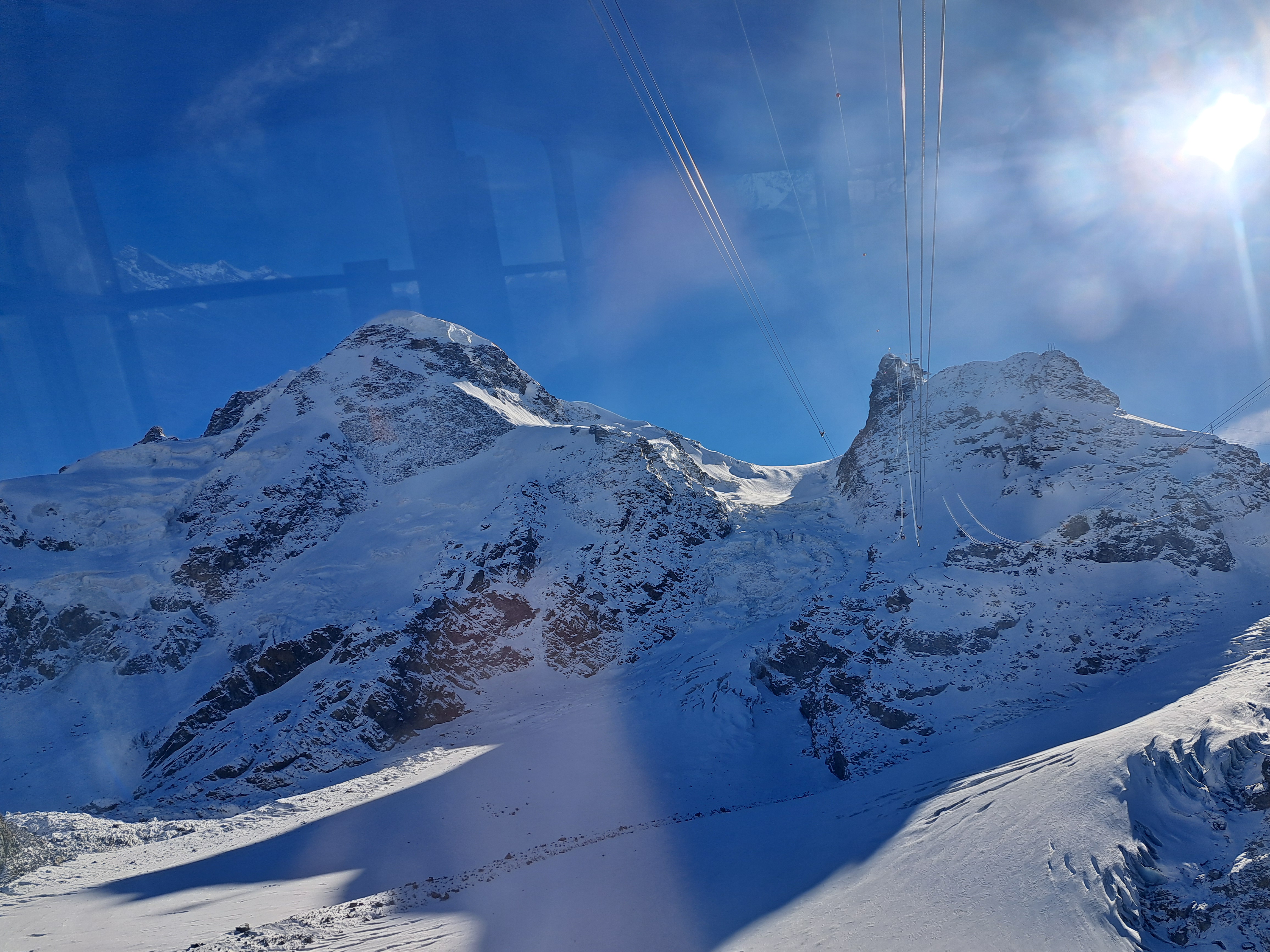
Honor between blogger and reader: I might have given you the impression that you wouldn’t see more mid-air photos from the gondola ride between Zermatt & the top. I just re-read that post and I did, fortunately, tell you I was posting the last photos taken during the ride from Zermatt up. Which was true: I don’t have any more planned from the ride up! So if you go to that last post, you will see a similar photo to the one just above – but with noticeable differences linked to the fact that, just above, I’m nicely positioned at the very front of a gondola that’s just begun its descent from the top to the middle station. You’ll see probably one more post, from the middle heading down.
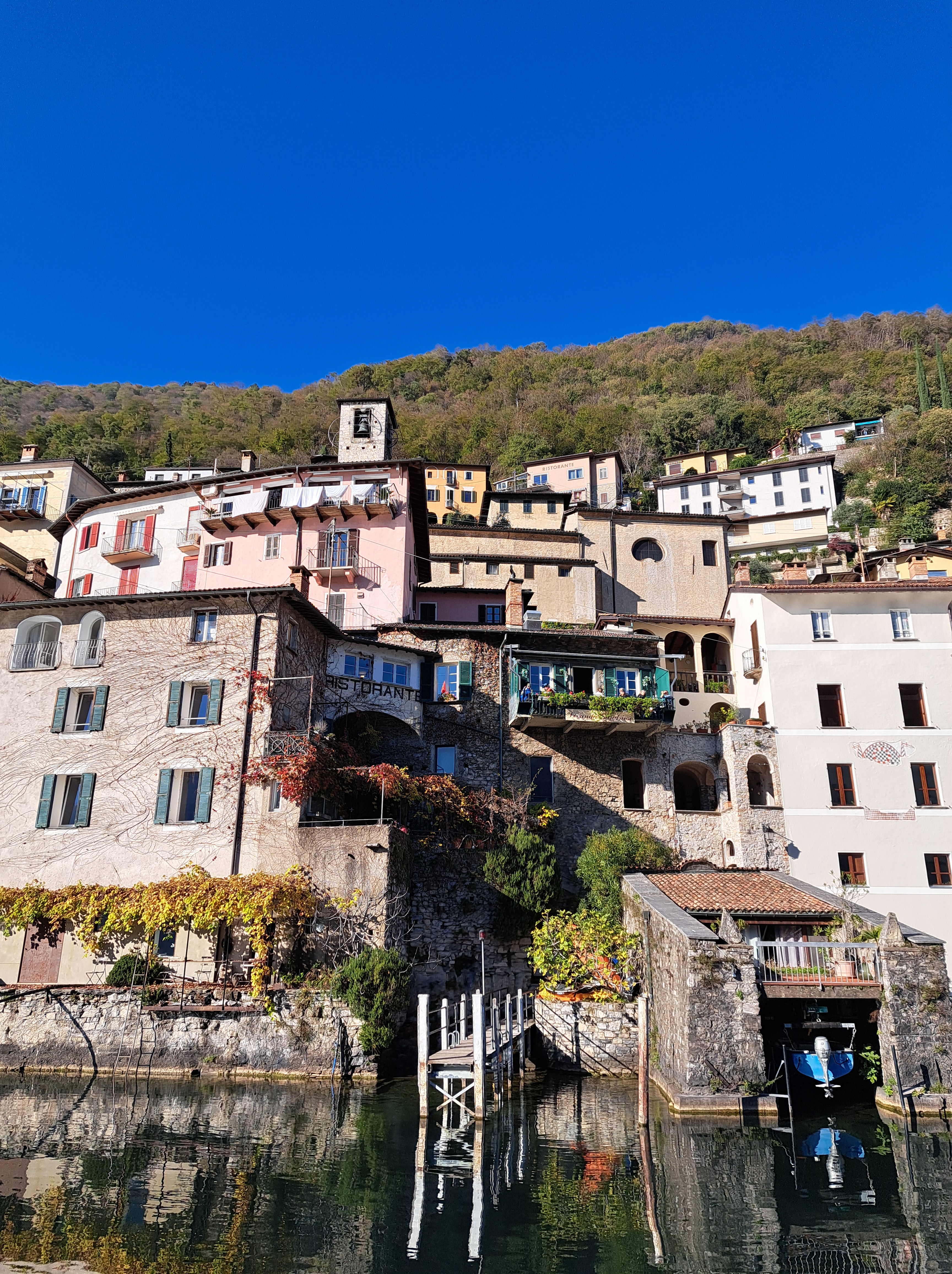
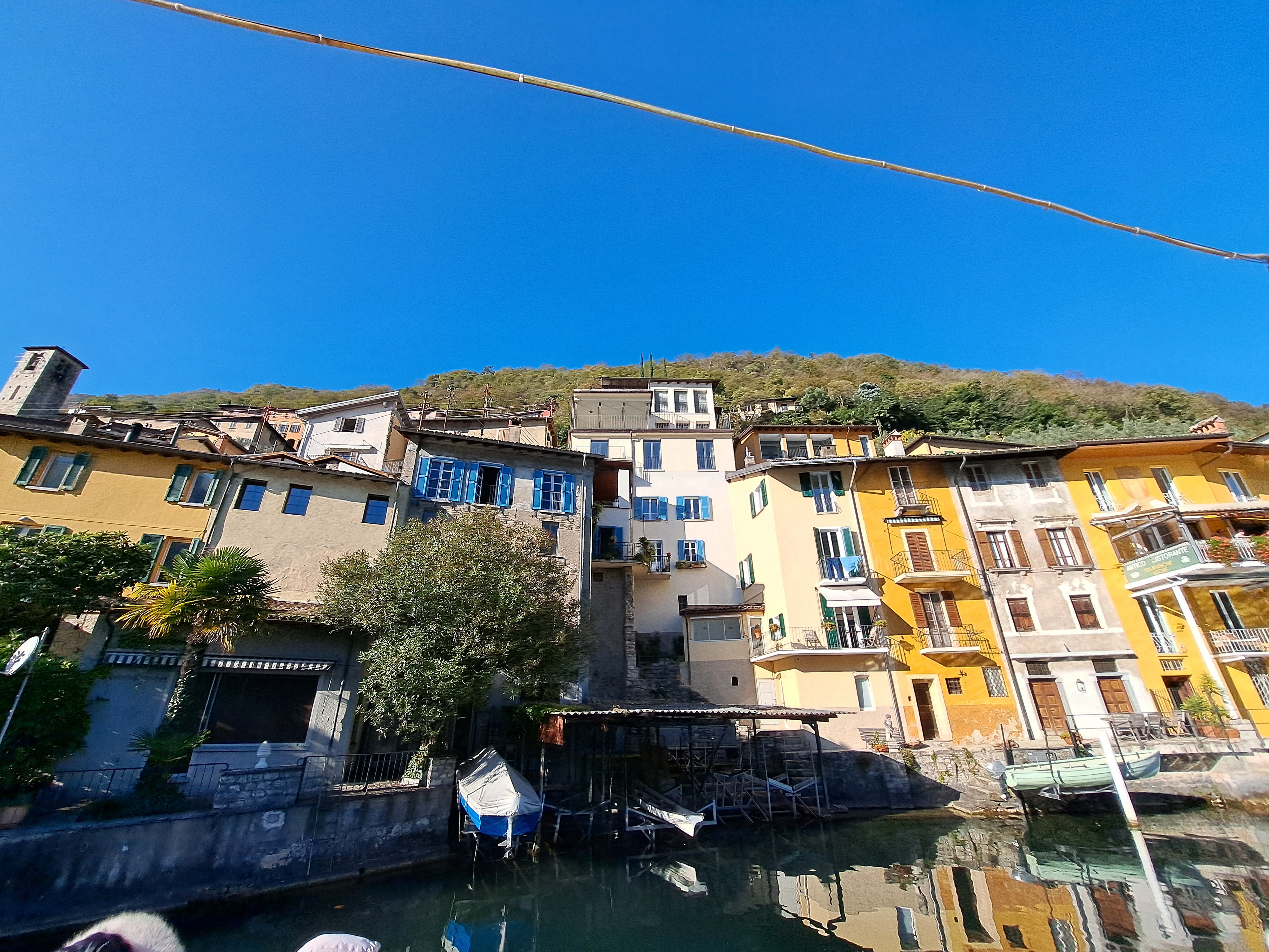
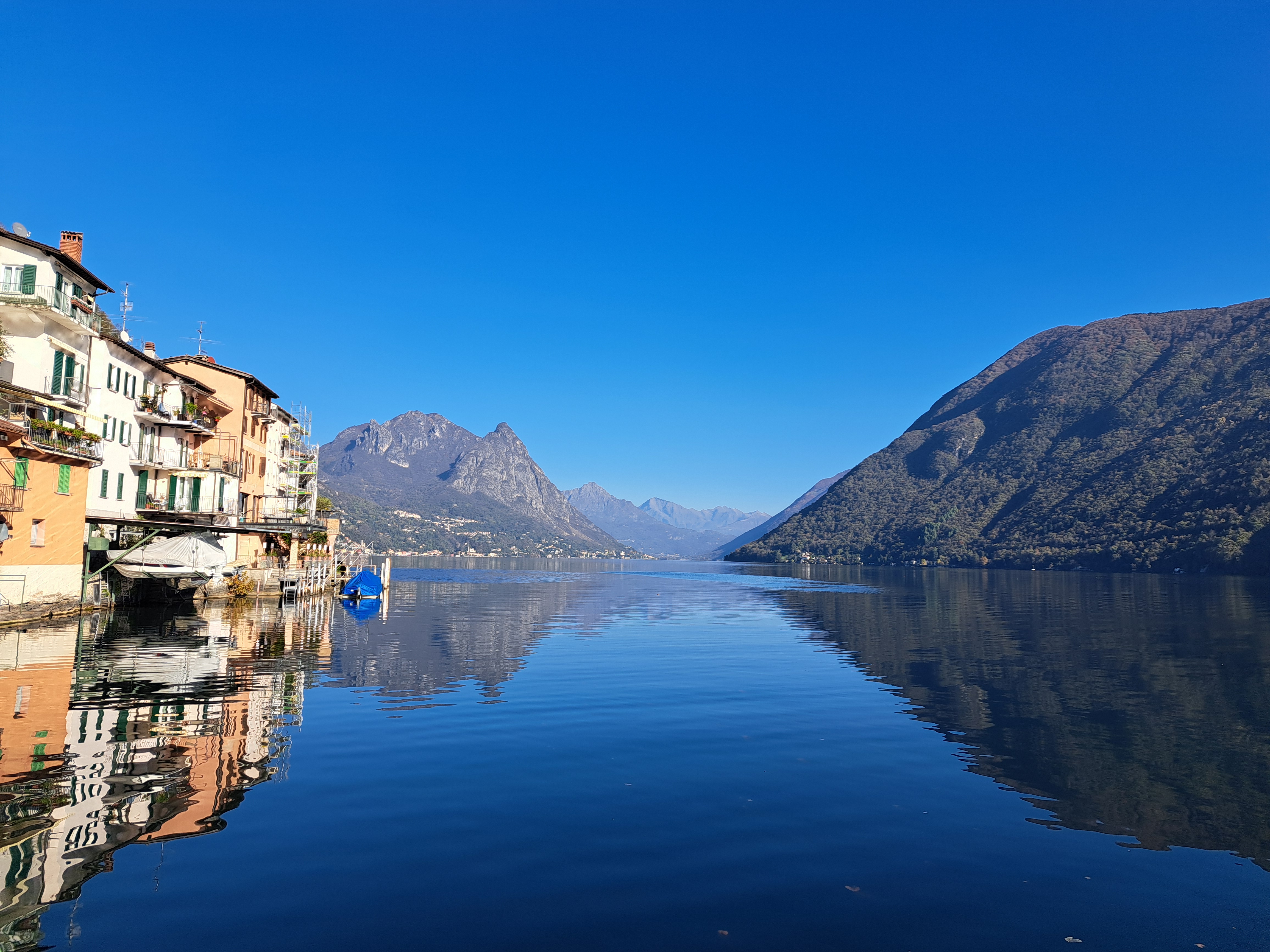
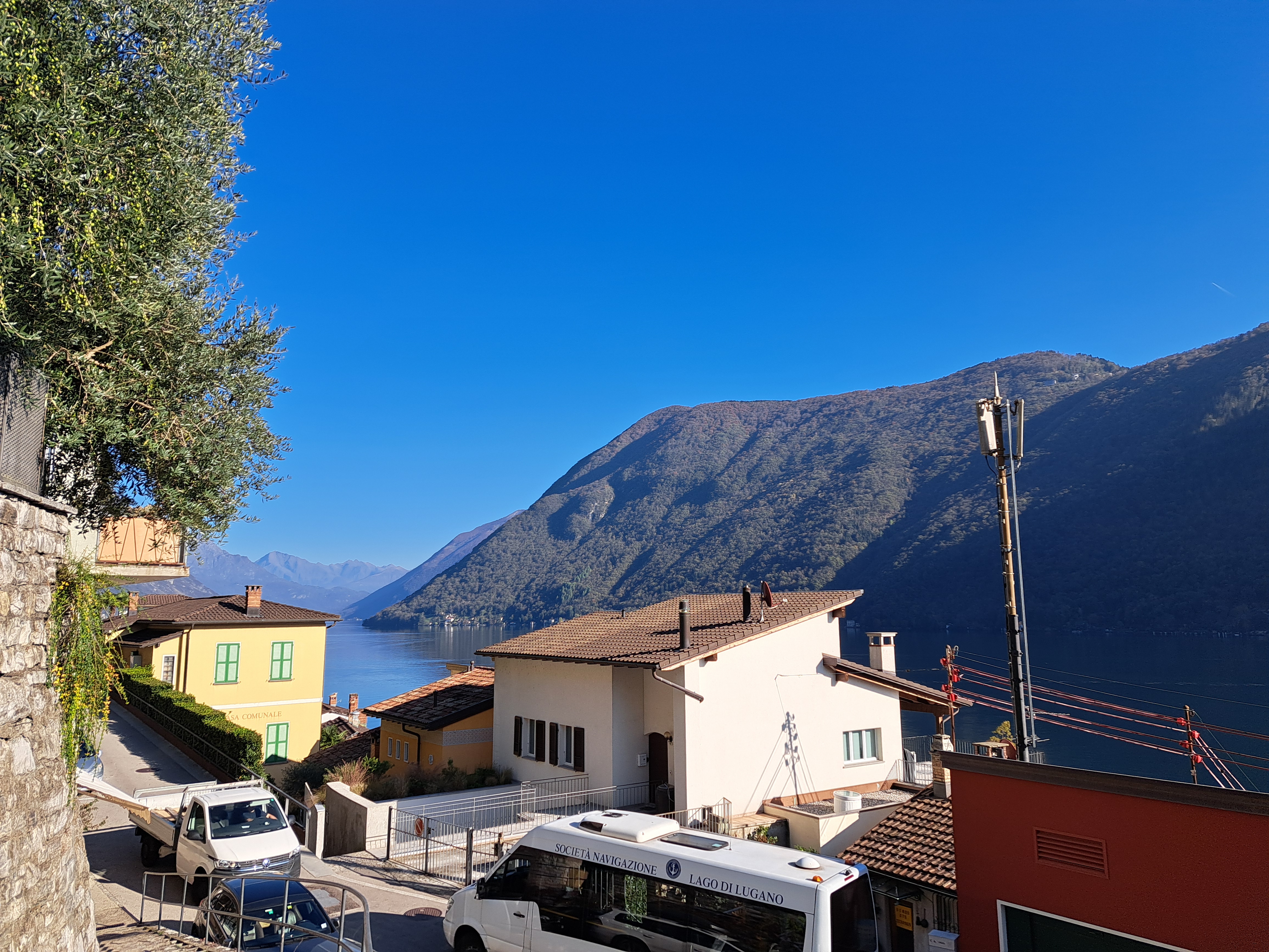
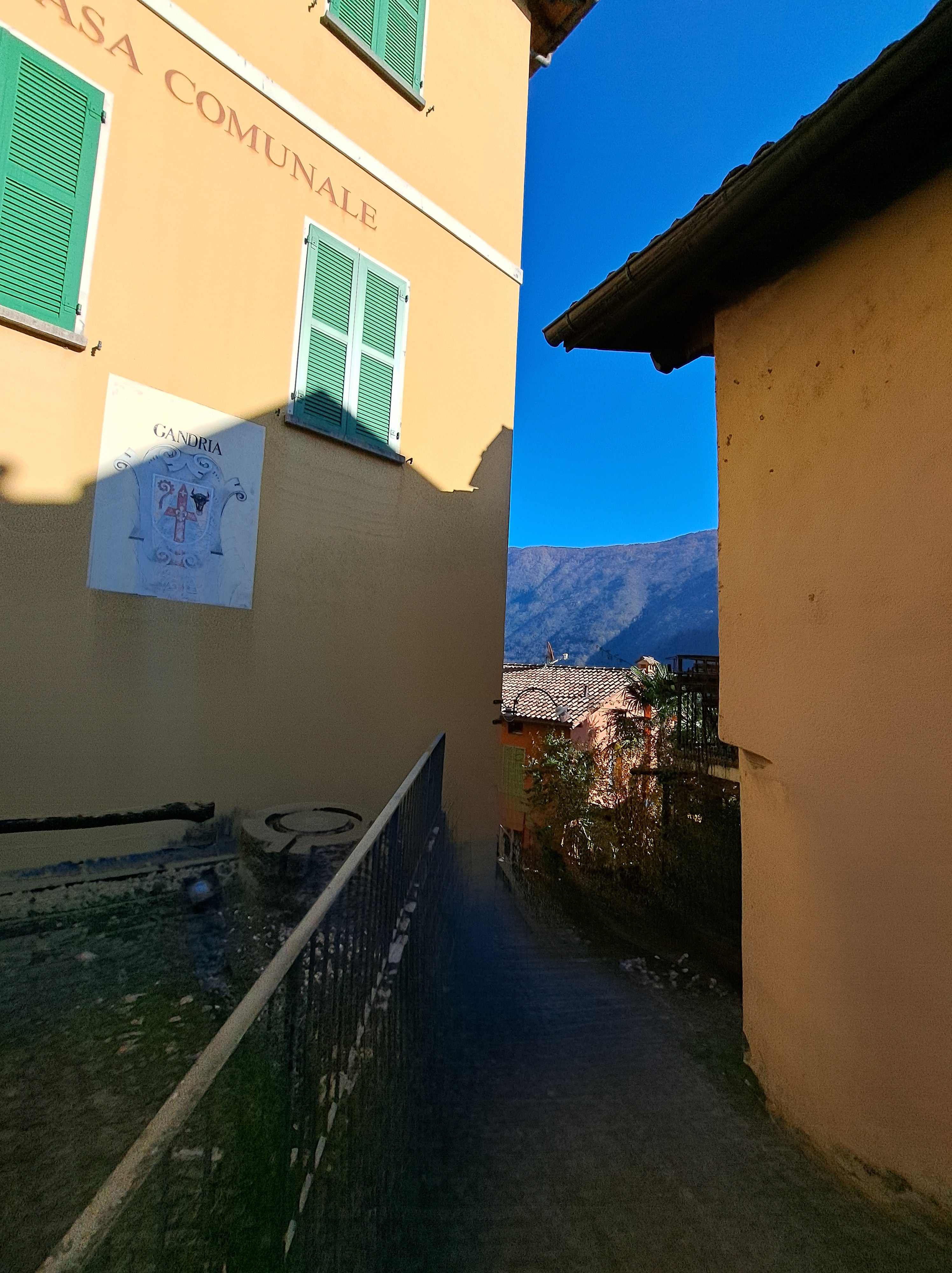
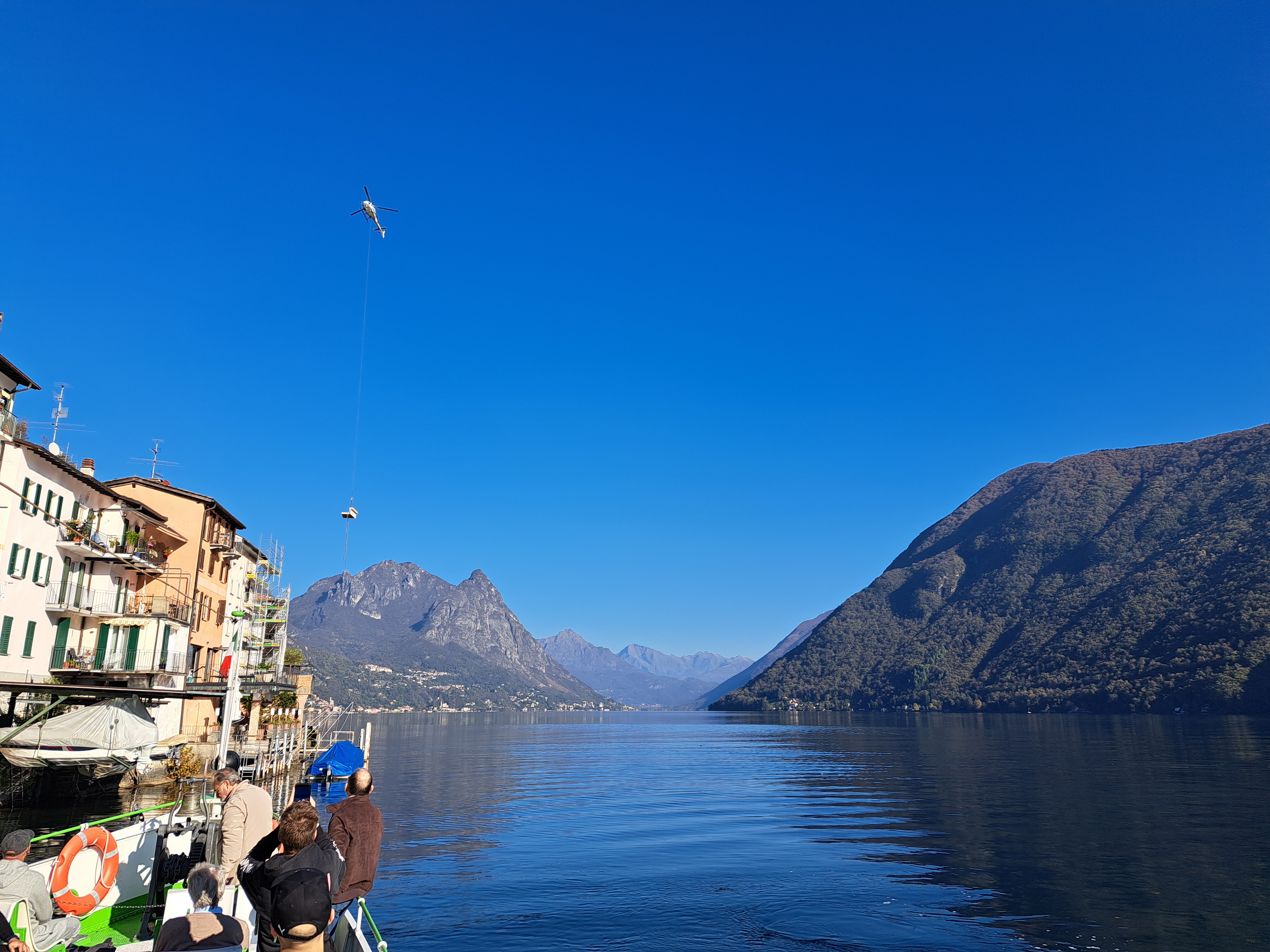
Gosh, I told you about my delighteful walk from the lovely town of Gandria back to Lugano in a prior post…but I haven’t shown you the town itself yet! Do note the way furniture is delivered, by carefully viewing the very last photo in the gallery below, just next to the photo of Gandria’s town hall aka Casa Communale.
During the walk on which I took all of these neighborhood-bridge photos just before Christmas, we had three separate episodes of sleet and one of rain, with sun and cloud mixing on both sides of each sleet or rain event… Winter in A’dam.
The Louvre did begin life as a royal palace. Amazing how many palaces Paris has, for a country that’s been more often a republic than a monarchy since 1790…
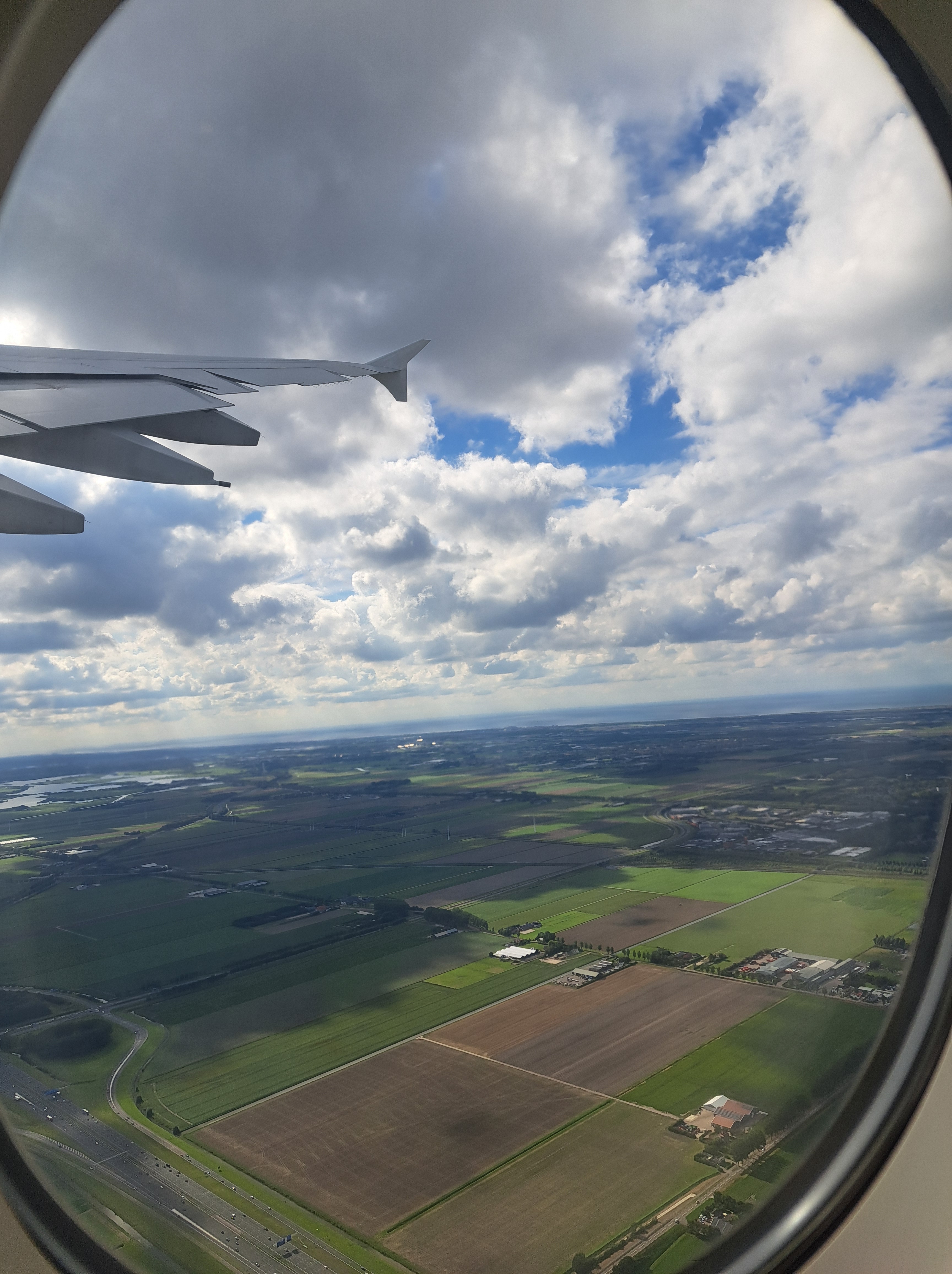
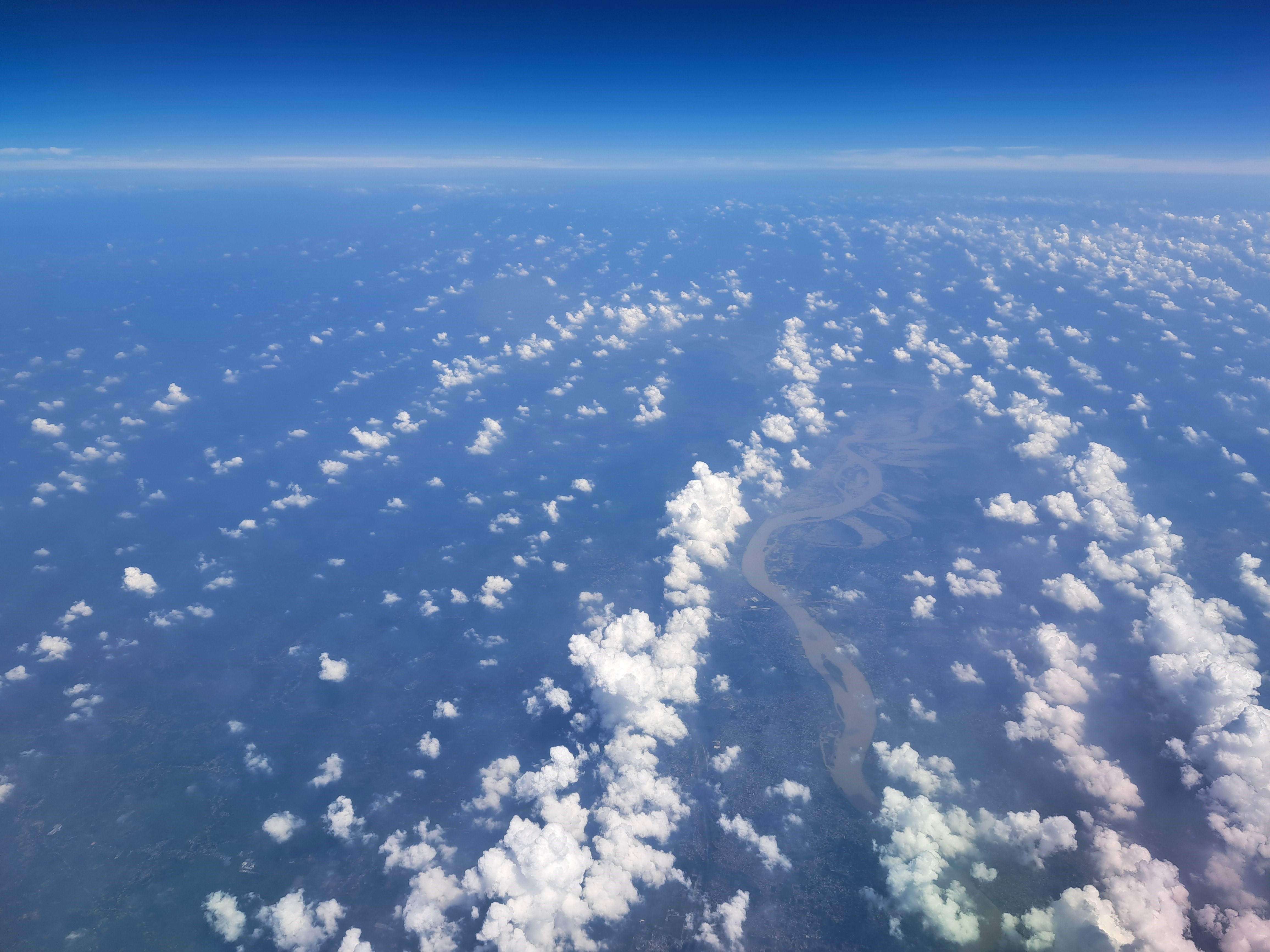
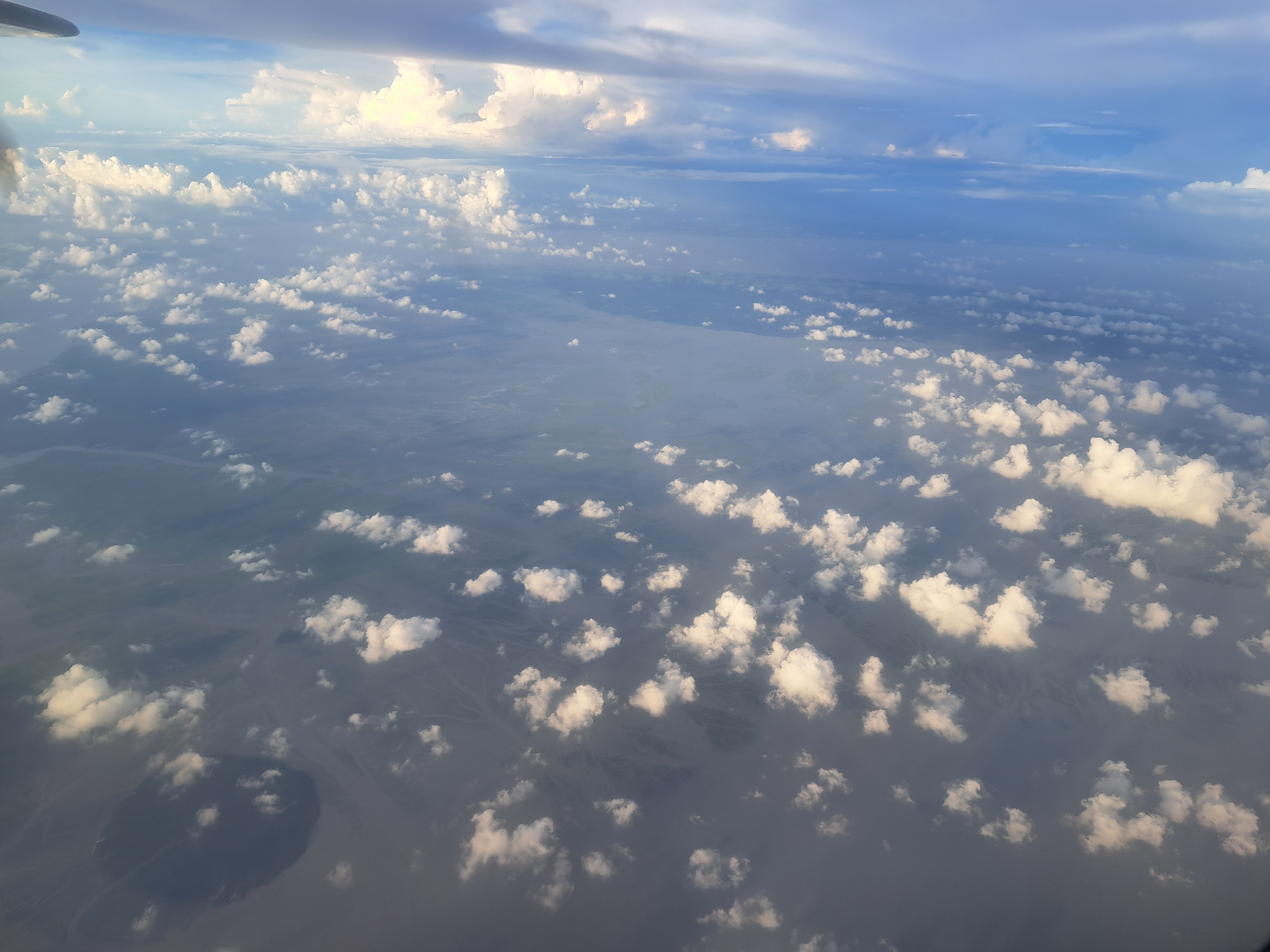
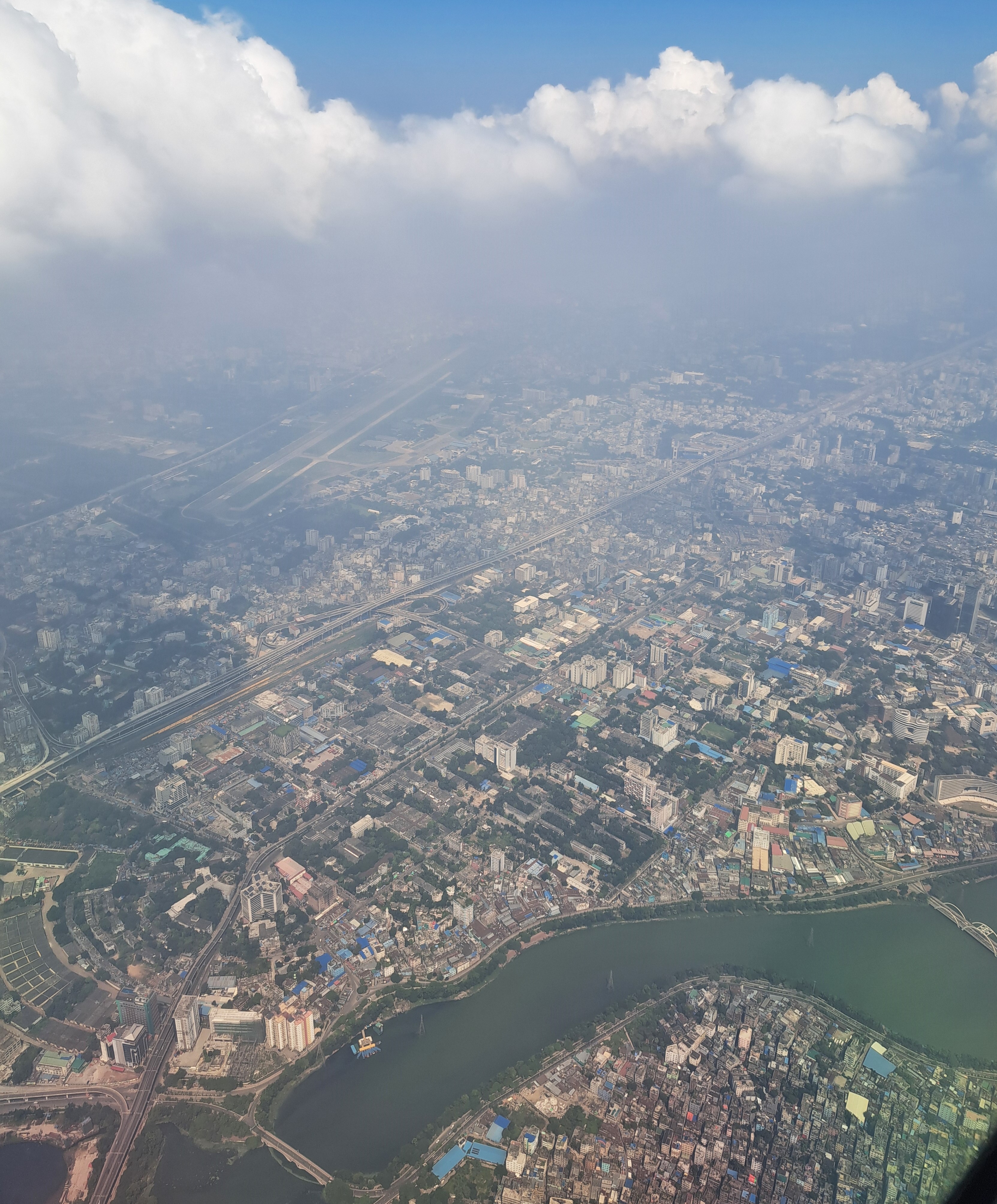
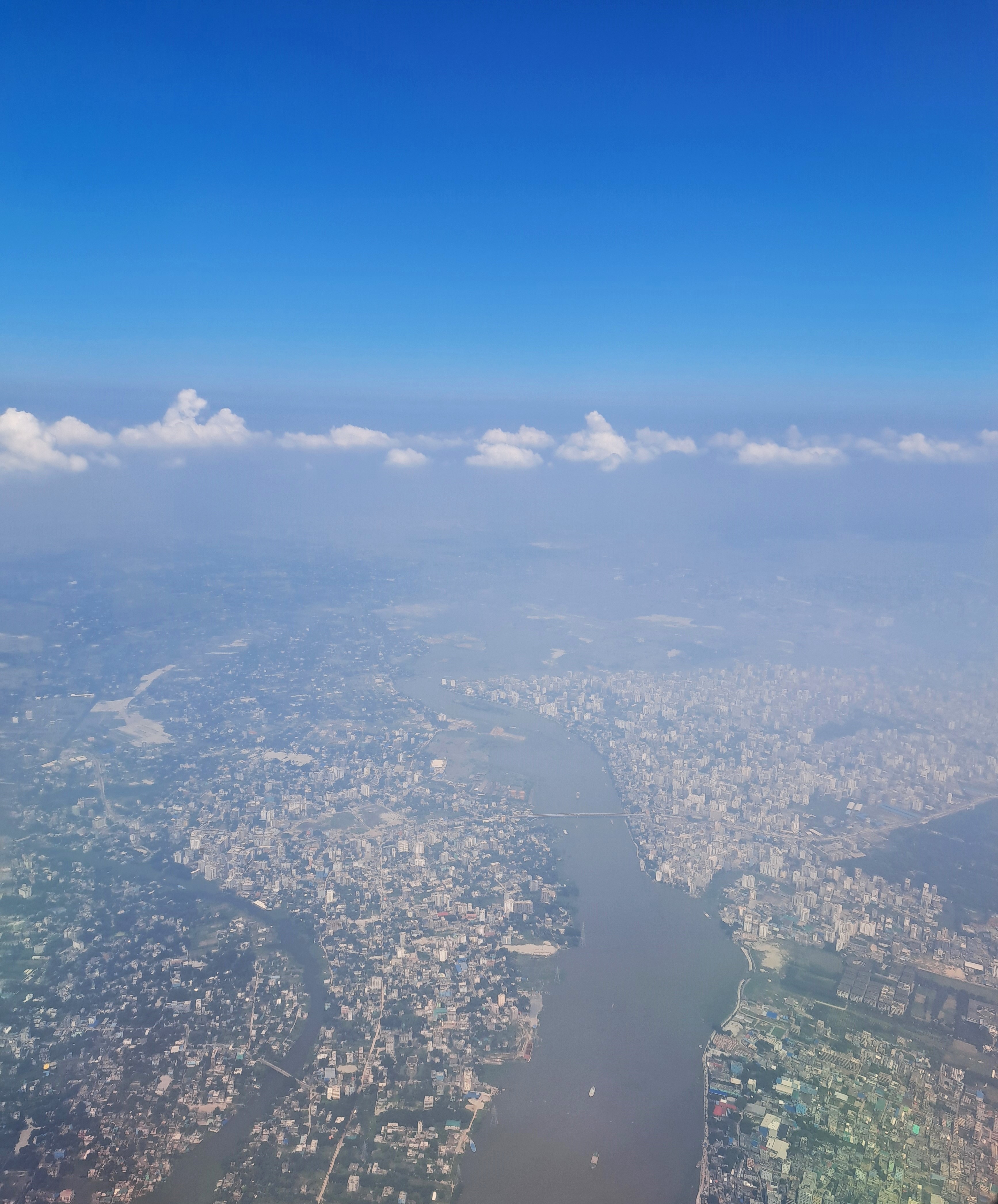
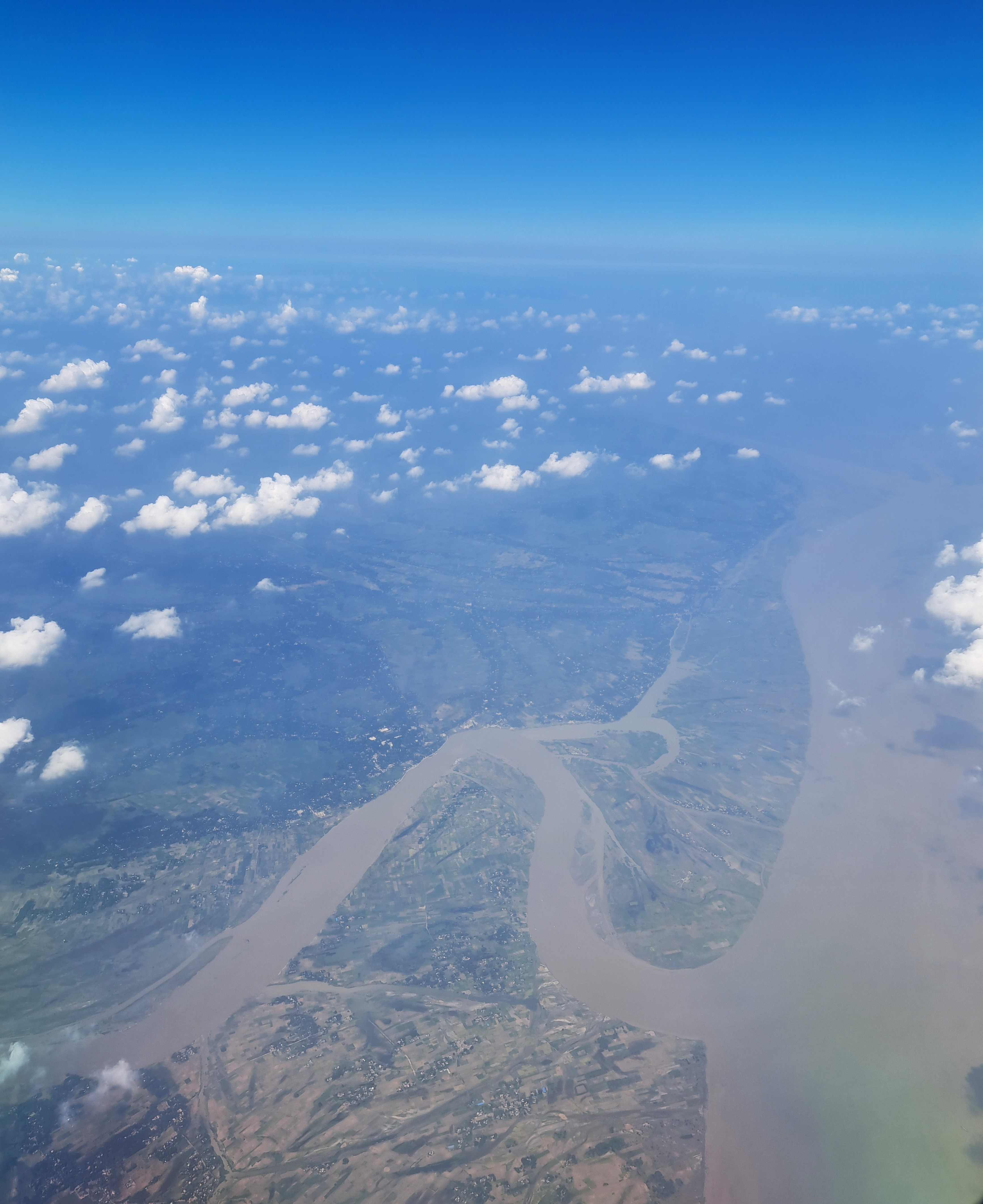
Above left, the fields of North Holland as our plane took off for my last trip by plane in September. Above right, the cities fields and rivers of Bangladesh south of Dhaka en route to Cox later the following day. Below, Dhaka from the air and other shots of rivers and countryside we flew over after taking off from Dhaka about 11 days later…
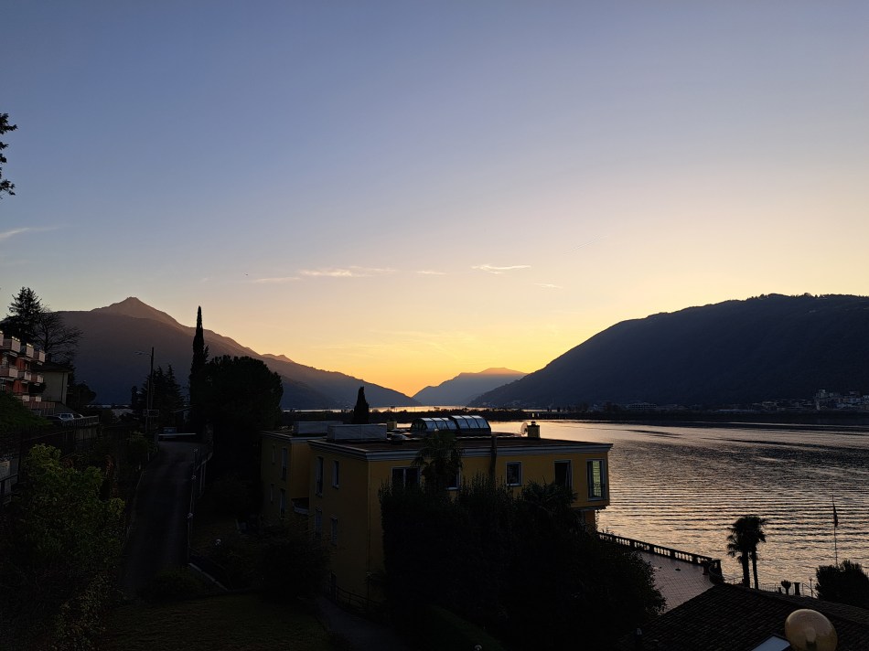 These are all from my first evening ‘living’ if only briefly in the village of Bissone on the southeastern shore of Lake Lugano. Curious about the Italian exclave, and noting that it was a short walk past the nearest grocery store where I’d be buying my dinner fixins and breakfast supplies, I walked on up the narrow road without decent sidewalk and caught these views, some of Campione d’Italia and others looking more south. In the gallery below is another image similar to the one above, which I’m sharing b/c it lets you better see the causeway that made overland travel possible between Melide and Bissone, early in the last century. John (and possibly others equally curious), you’ll be interested in the Wikipedia article on Campione and how it came to exist, and this arch, and the the boundary marker I showed in my last post from Campione.