Behold one of the largest moving structures in the world: the maeslantkering. I figured this would make a suitable entry for the 100th time I’ve posted this city / urban canal series. (Turns out when I first started, just after moving here in July ’21, I was calling it City Canals, to counterbalance a series I hoped to start that I still call Country Canals….and then at some point without noticing I just morphed it into Urban Canals. Sorry…) Anyhoo: this is, I think, technically within the municipality of Rotterdam but as you see it’s heavily industrial, not residential or commercial. For more on those parts of Rotterdam, check out for example this post.) We’re within a kilometer or so of the Hook of Holland, where the largest channel of the Rhine Delta meets the North Sea, and this large white structure is a movable storm-surge barrier intended to protect the city and inner port of Rotterdam. The outer port, where the hugest container ships dock, is behind the windmills you see in the panoramic photo just above, on south side of the river, in the Europoort Rotterdam and the Maasvlakte Rotterdam. I’ve bothered to learn all this partly because I’m just a geek and it fascinates me what the Dutch do with water and rivers, and partly because I read Neal Stephenson’s latest speculative-fiction novel during my multi-week visit to Myanmar, so when I landed back in NL and the guy I’m currently stepping out with suggested we drive the beach somewhere, I said “let’s go see the Maeslantkering!” (He has a car, I don’t, and really the best way to get there from A’dam is in fact by car, although there are public transit and bike methods, this being NL, after all…) And just to give you more sense of the general surroundings (good example of Dutch urban planning, what with artificial mountain-bike courses e.g. the small part below where I saw classes of kids being taught, canals, bike paths, etc. all snugged up against one of the largest ports and busiest shipping channels in the world), a bunch of other photos from the Hook of Holland and the immediate surroundings of the maeslanterking, below. (Yes, wiki has a nice piece about this structure for you fellow geeks out there. And yes, I finally donated today, recognizing that I’d be lost without wiki by this point.)
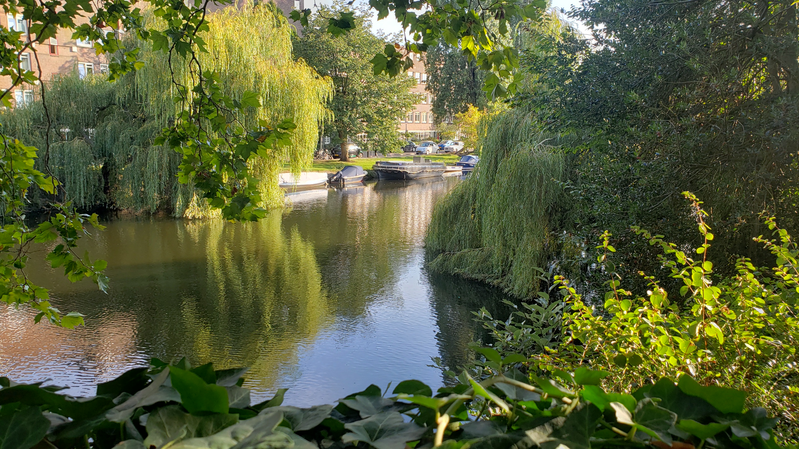
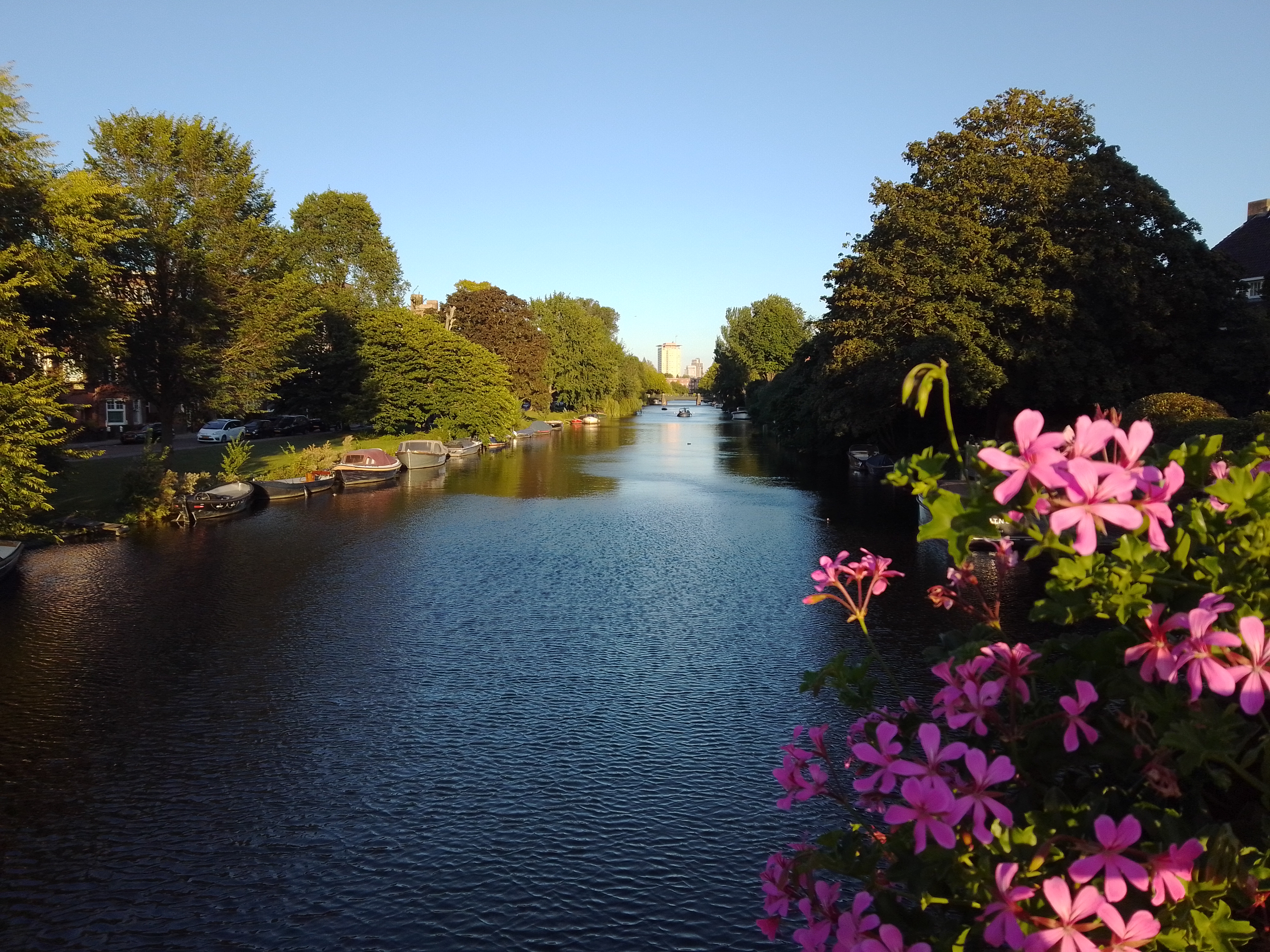
Last Monday evening after I biked home from work was one of those glorious “last day of summer” type evenings where the sunlight angled in and lit up everything beautifully, so that I simply had to get out for a walk. These are canals & gardens in one :-). Happy almost-equinox, all.
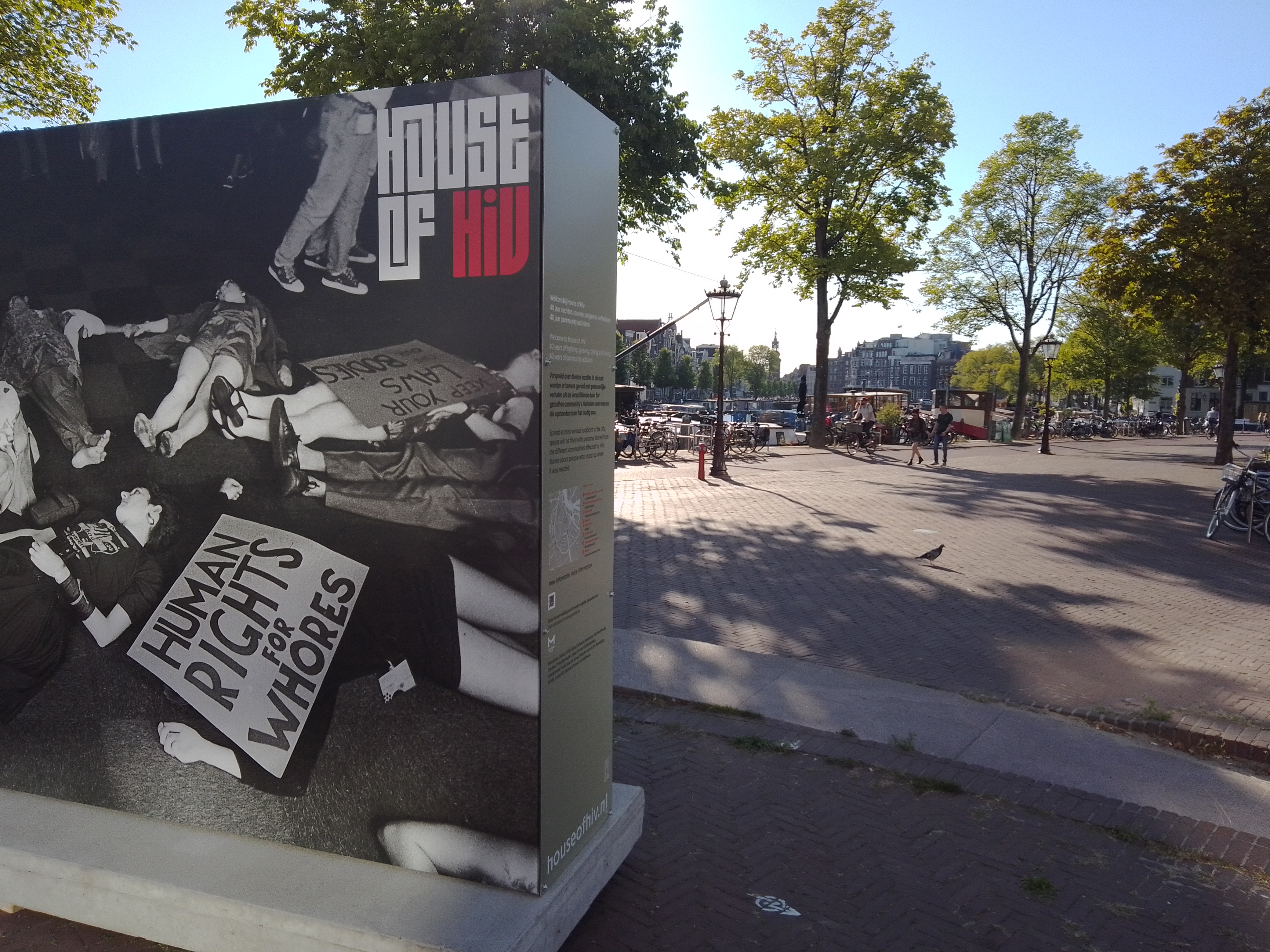
I need to post this — from an exhibit at city hall A’dam timed for LGBTQI+ Pride Month — before we get too much further away from said month, which here is in August 🙂
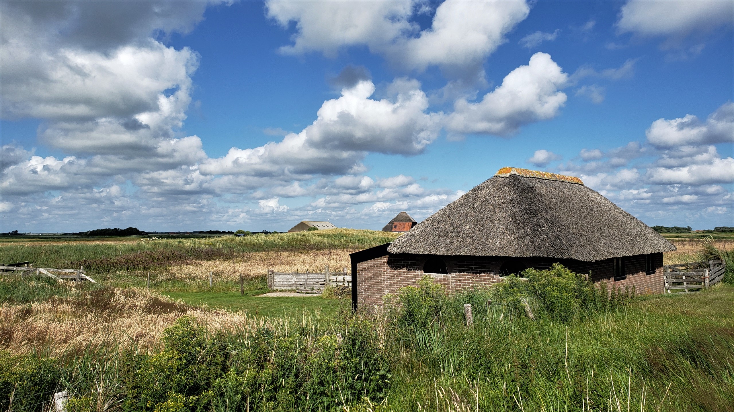
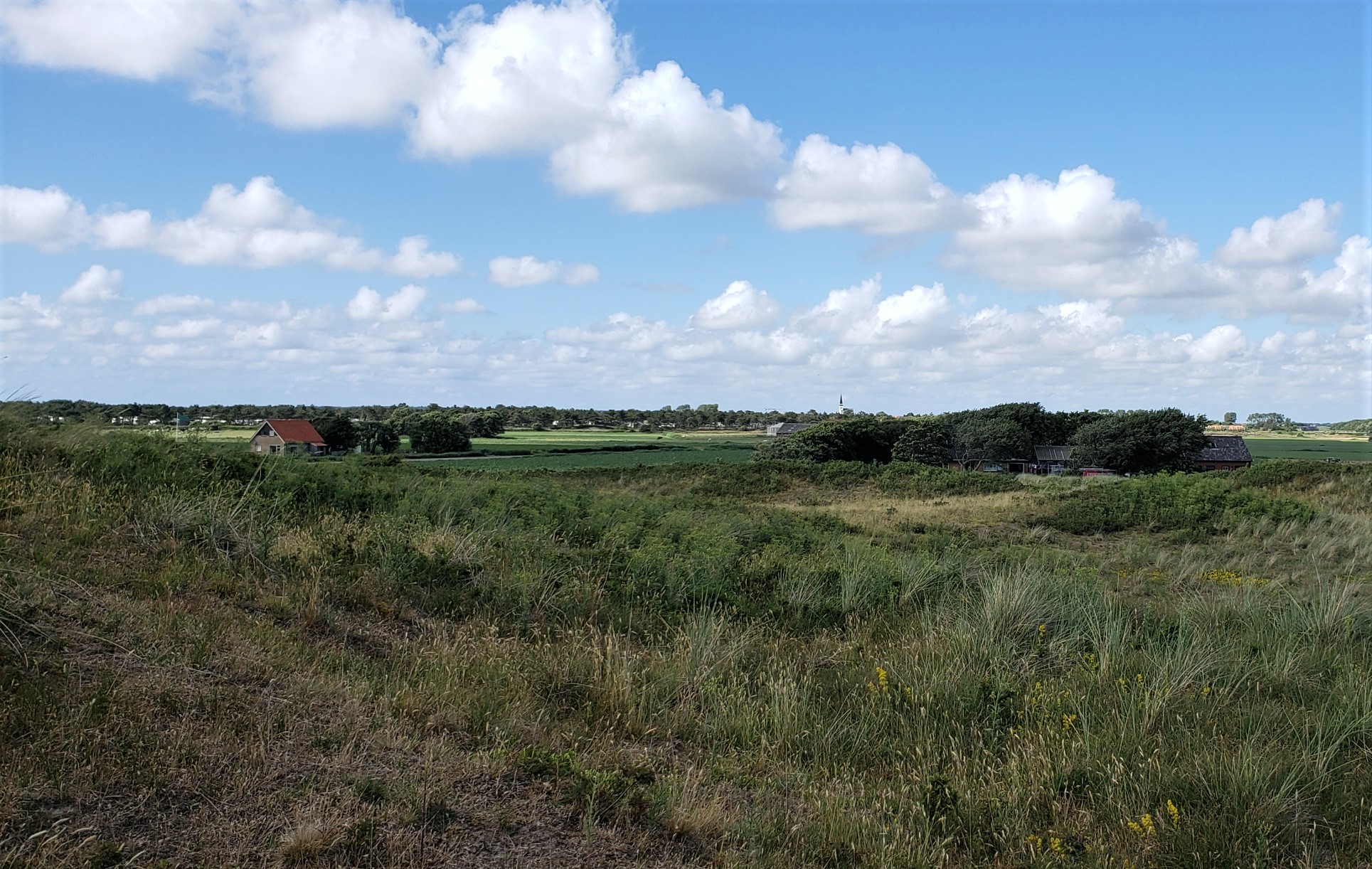
Farm buildings on the southern edge of the village of Den Hoorn, on Texel — with main village itself in the distance on the photo below. Hopefully this weekend, I’ll manage to figure out which Texel (pronounced “tessel,” it seems) photos I still haven’t posted, and get those ready for sharing in the day(s) ahead. I might have mentioned that I had a hard crash on my computer – mostly self-inflicted b/c there were some dialogues coming up which made me fear a virus had infected the computer, so I reinstalled everything, and thought I’d backed up up all the photos I’d already sorted and named…but turns out the backup was messed up and files didn’t open, so I’ve been recovering from my phone. At least one generally has several layers of backup in this digital world, eh? 🙂 Anyone coming to NL at a time when the weather is lovely should seriously consider a quiet day or two up on Texel. It’s really gorgeous 🙂
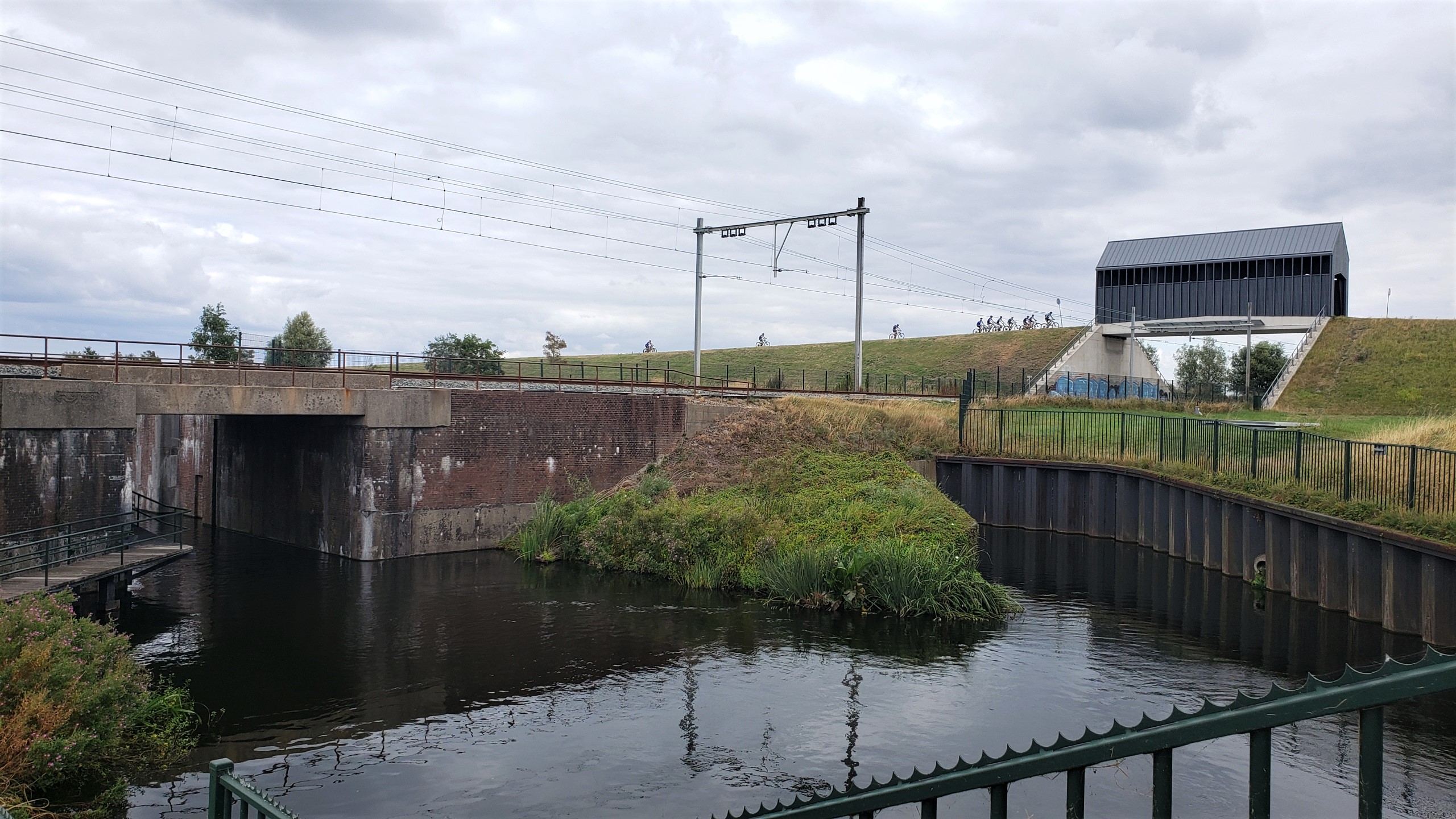
It’s my blog so I get to define what’s a “village” and what’s not. This is one of those uniquely Dutch views: railroad overpass covered-bridge which is mostly used by bikers, specifically small and large classes of kids taking mountain-biking classes on the natural and enhanced (since almost everything that touches upon elevation above or below sea level, flow of water and so on in NL are very much human-enhanced) hills and dunes and canals surrounding … the Maeslantkering, one of the world’s largest movable structures whose northern half sits perhaps 300 meters behind me as I took this photo on my first full day back from Myanmar. Photos of the Maeslantkering and other Hook-of-Holland area sites to come.
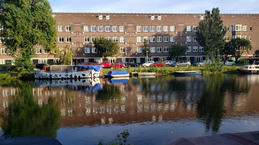
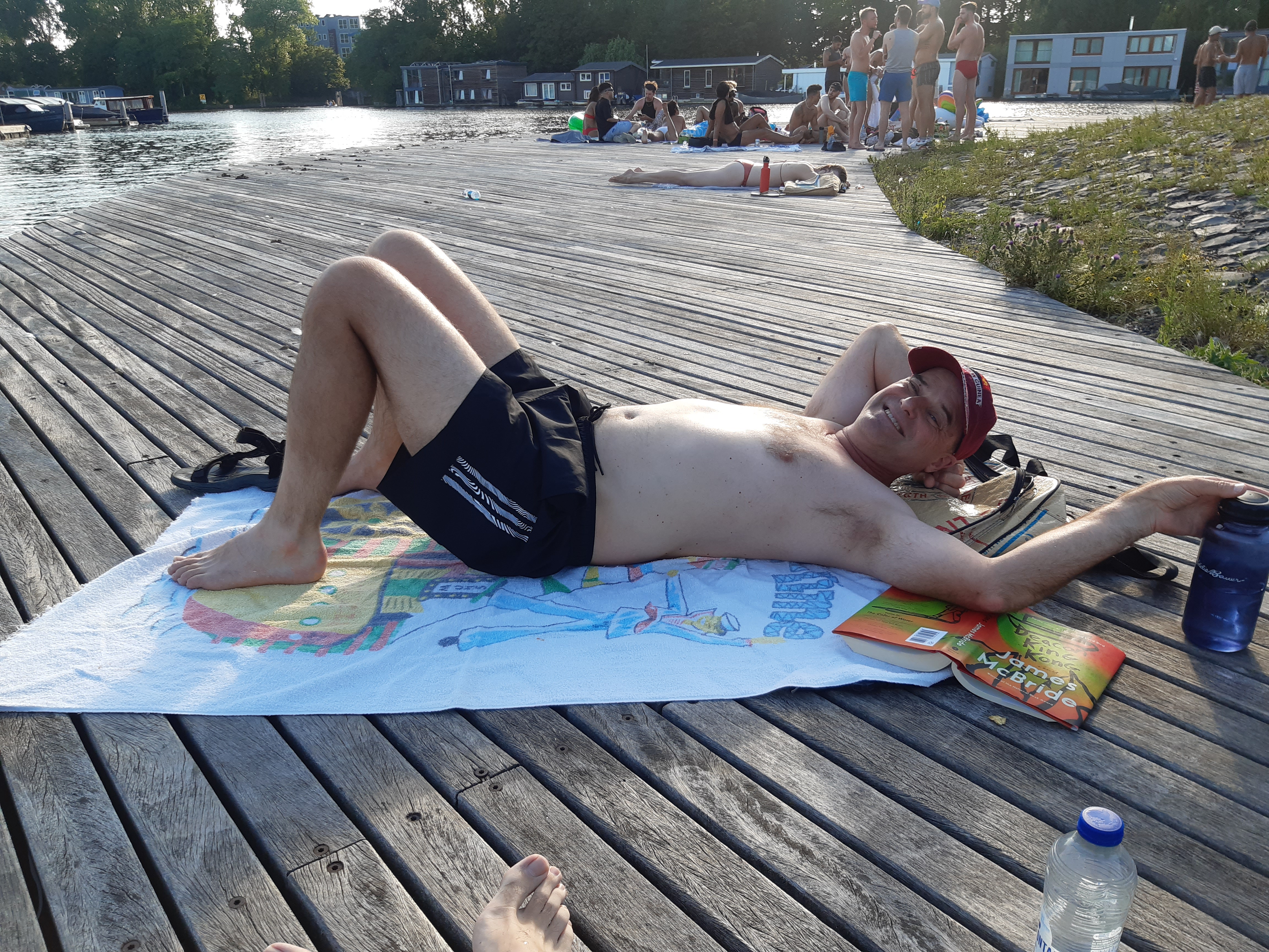
With warm weather, we’ve discovered that the canals of Amsterdam are wonderfully swimmable :-). At least one brother o’ mine will recognize both of these beach towels – ah, memories we bring with us from other times and places 🙂