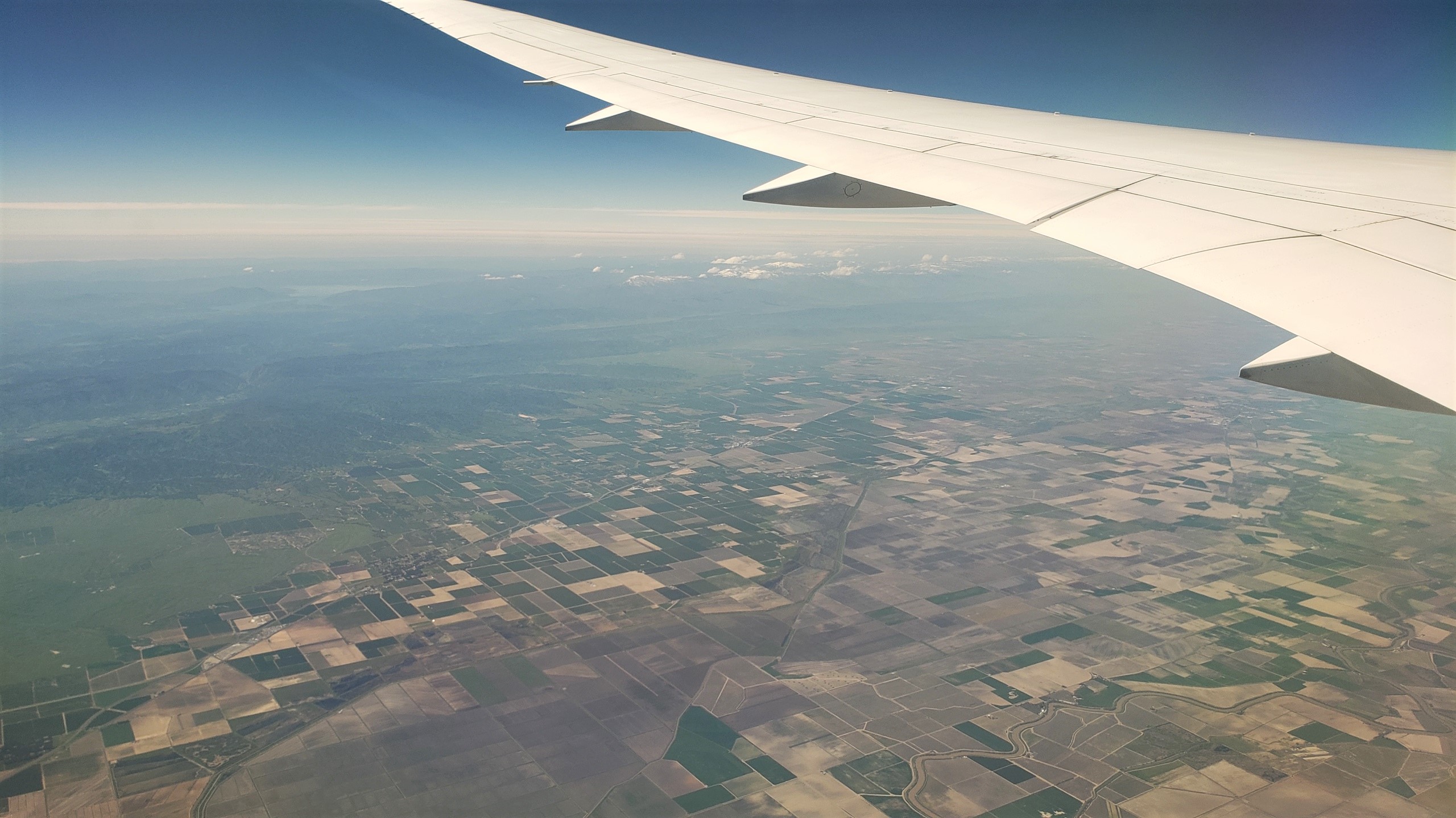
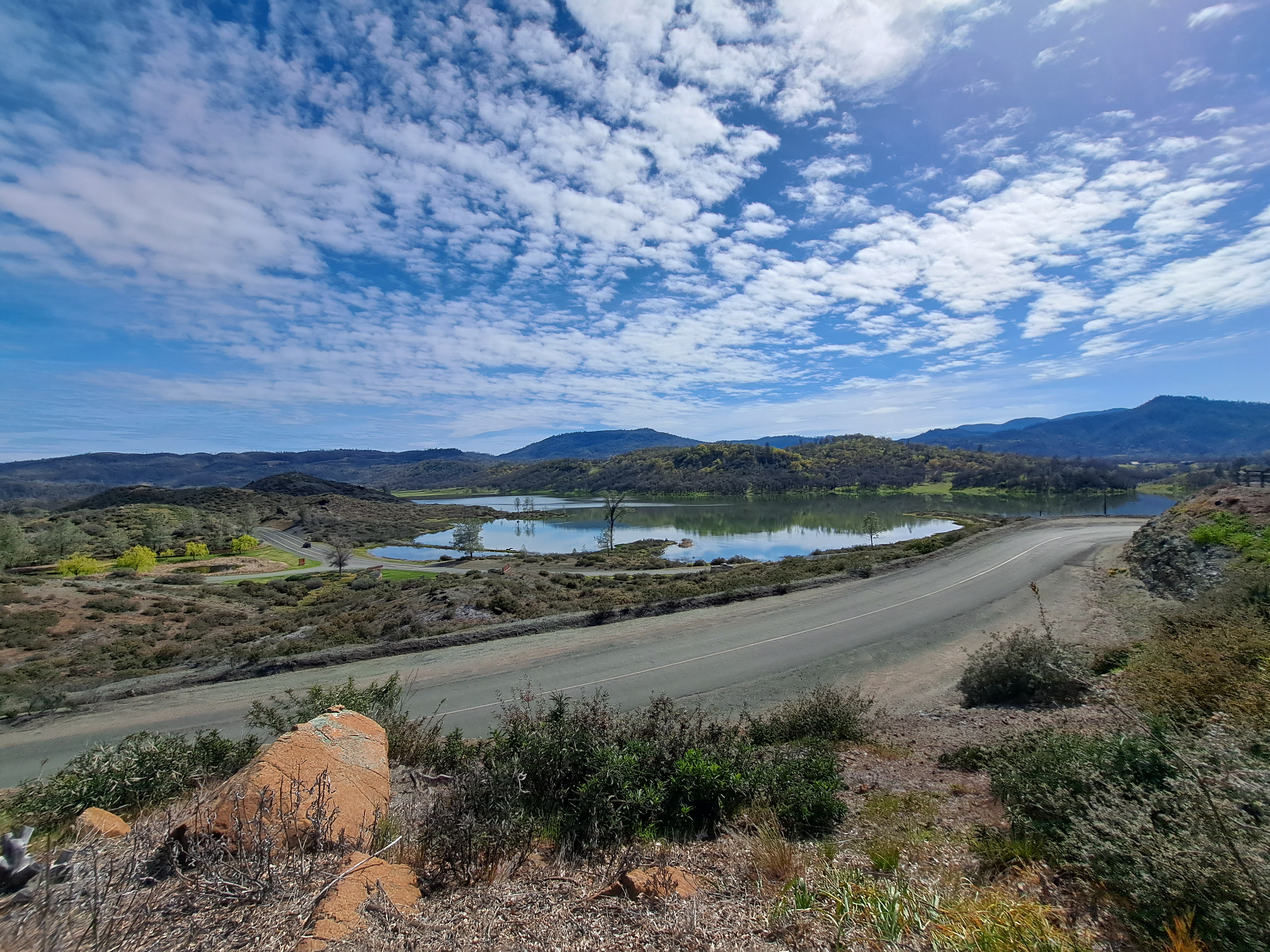
Looking west from California’s central valley towards Snow Mountain Wilderness & the various reservoirs and natural lakes on the eastern slopes and foothills of that range of mountains, not long after my last take-off from SF in early April.
Sticking with our theme of (snow-capped) mountains, you’ll note that some of those white things in the distance are the snow-capped Sierra Nevada mountains, which run along the western edge of California & at the California Nevada border. Given the time of the photo, this was over the central valley north and east of SF, not too terribly long after our take-off in April. 🙂
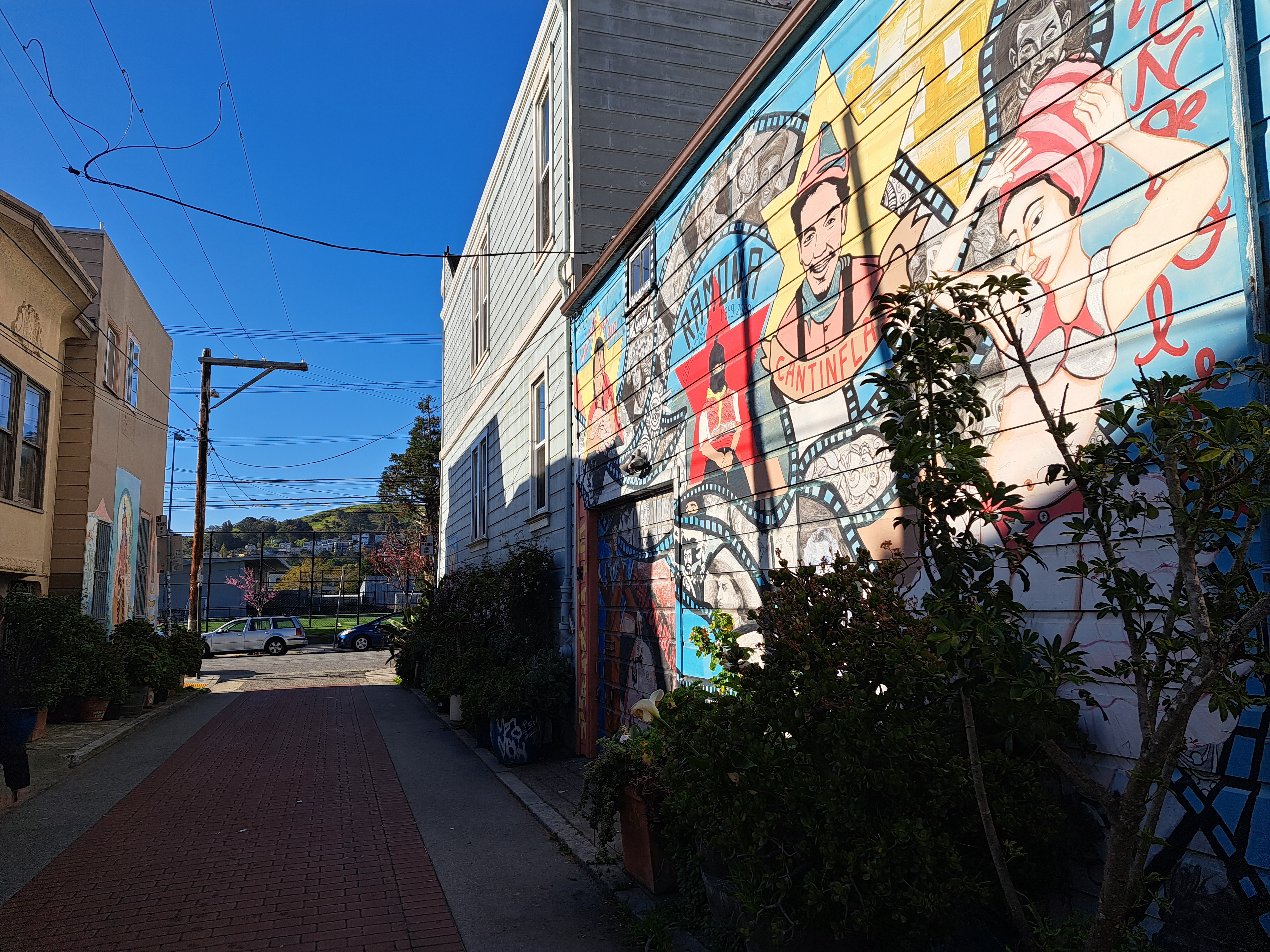
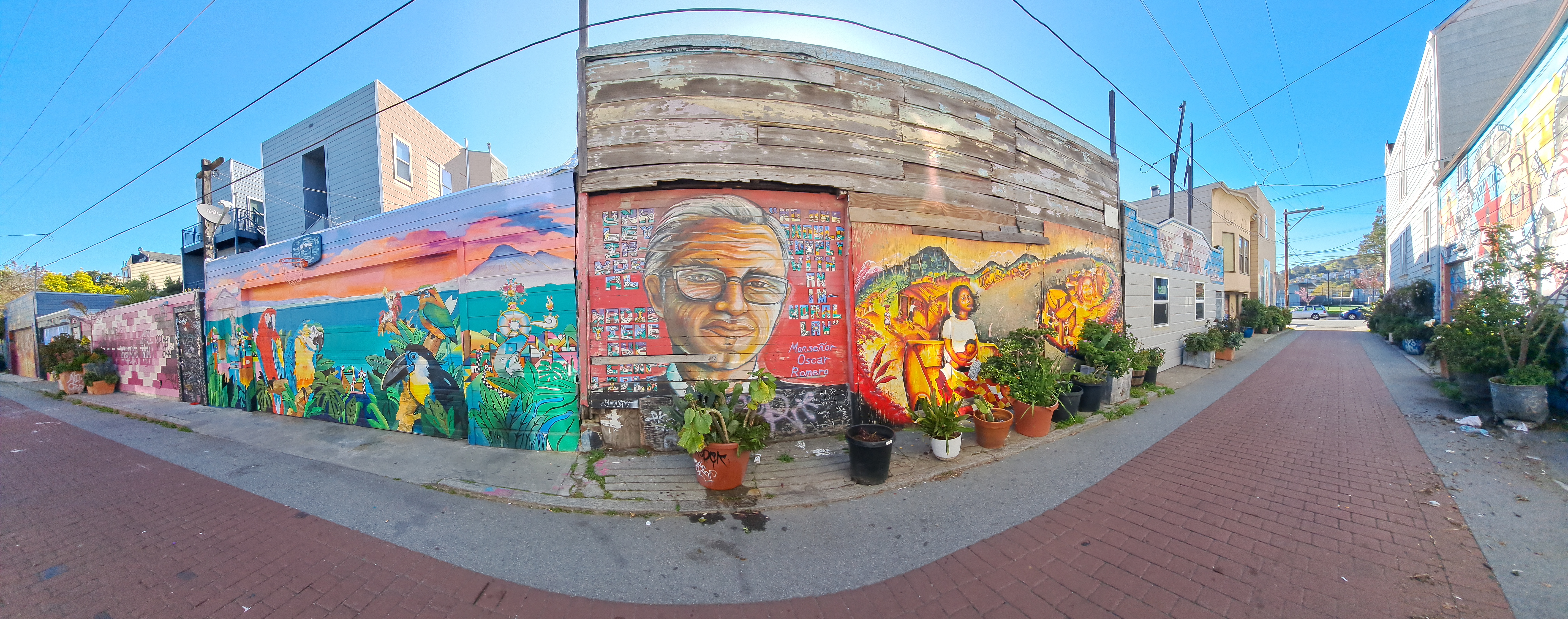
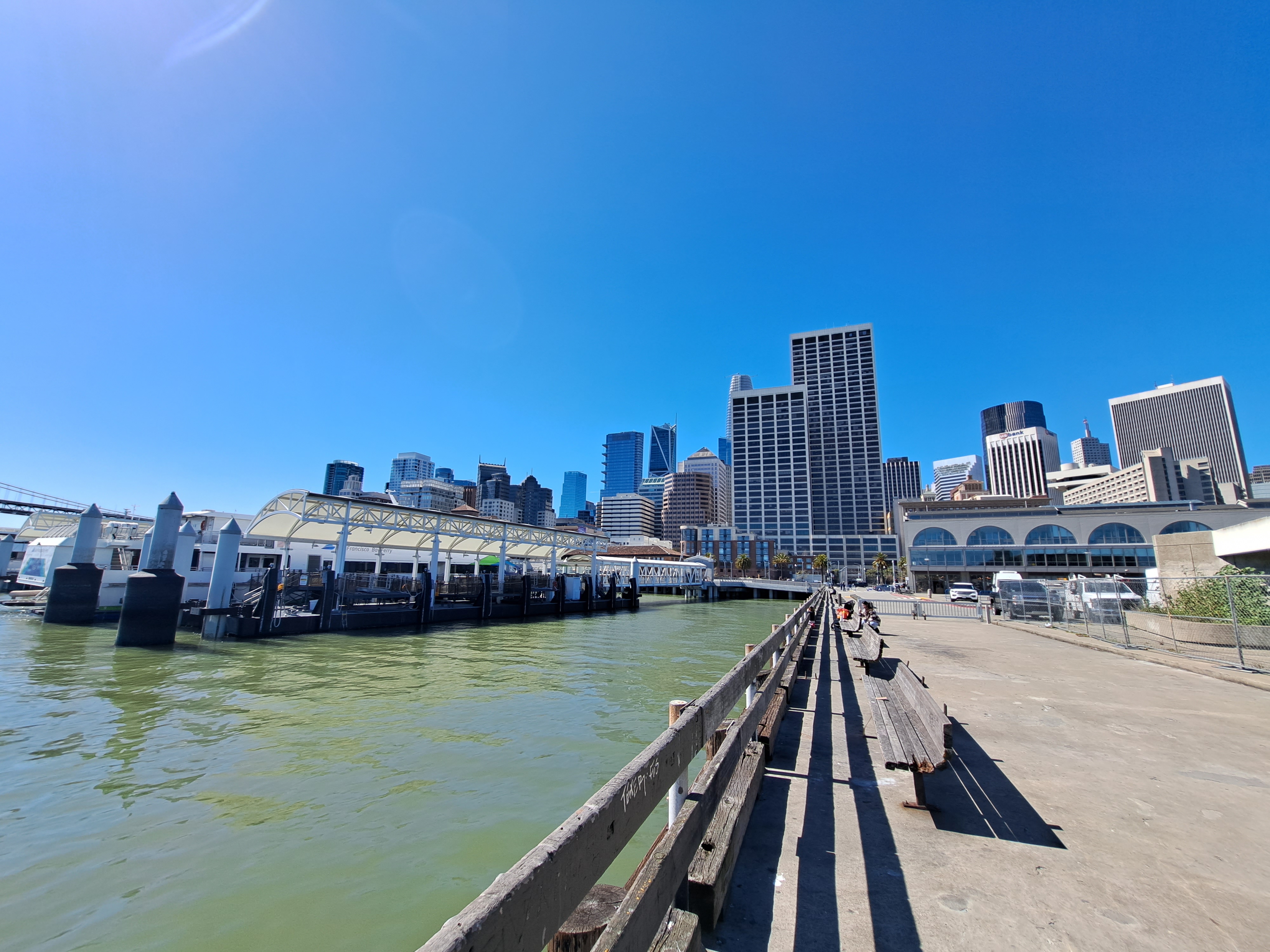
Yes, the wharves by SF’s ferry building can count as “coast” on my own blog if I decide they do. And yes, this means I’ve an urgent need to get to some “real” coastline again asap, or we may run dry on images for this series even sooner than the previously-noted country canals. Second to last post from that March – April US swing, already two months ago, goodness me but time flies when you’re chasing postable images. 🙂
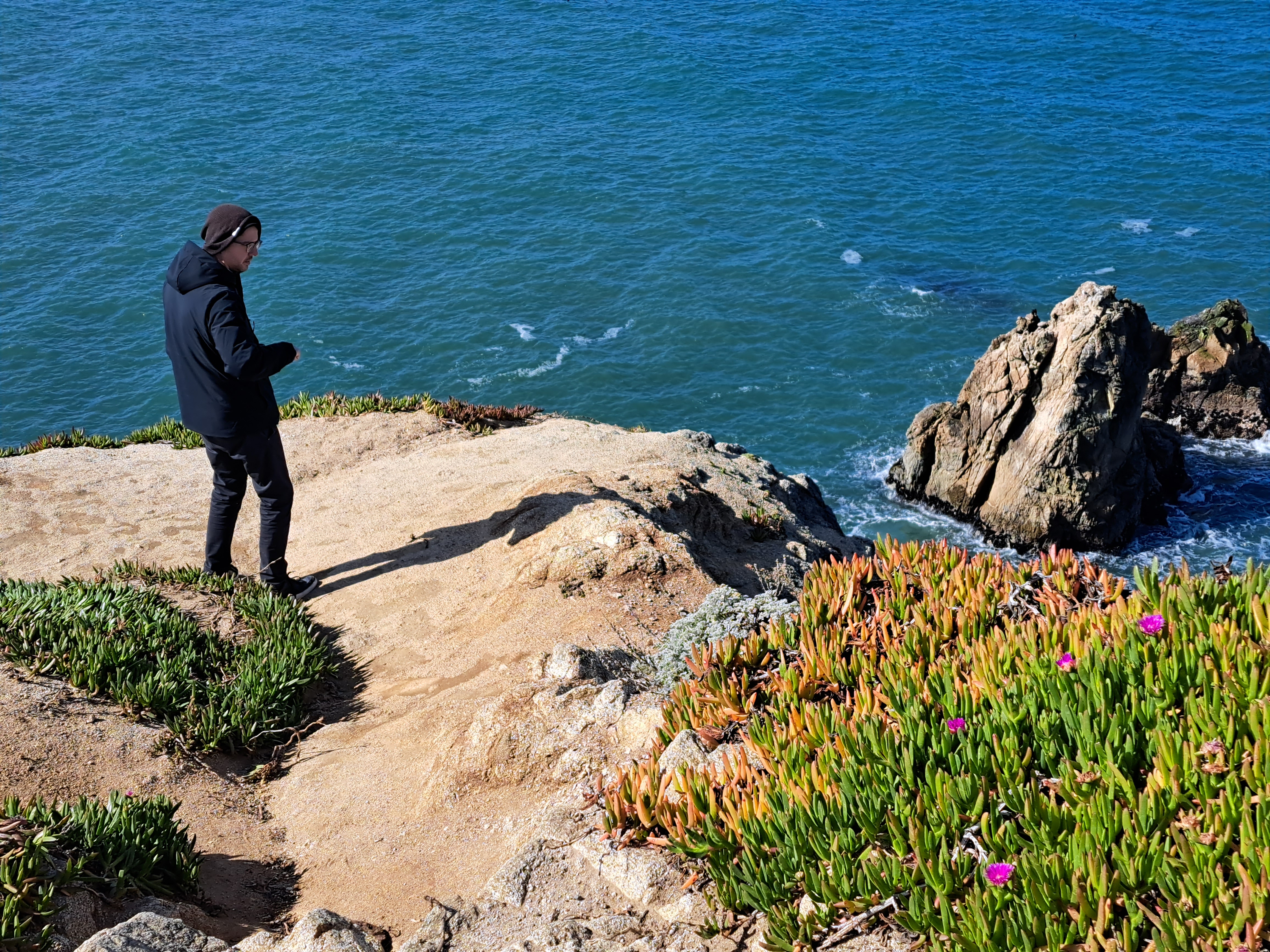
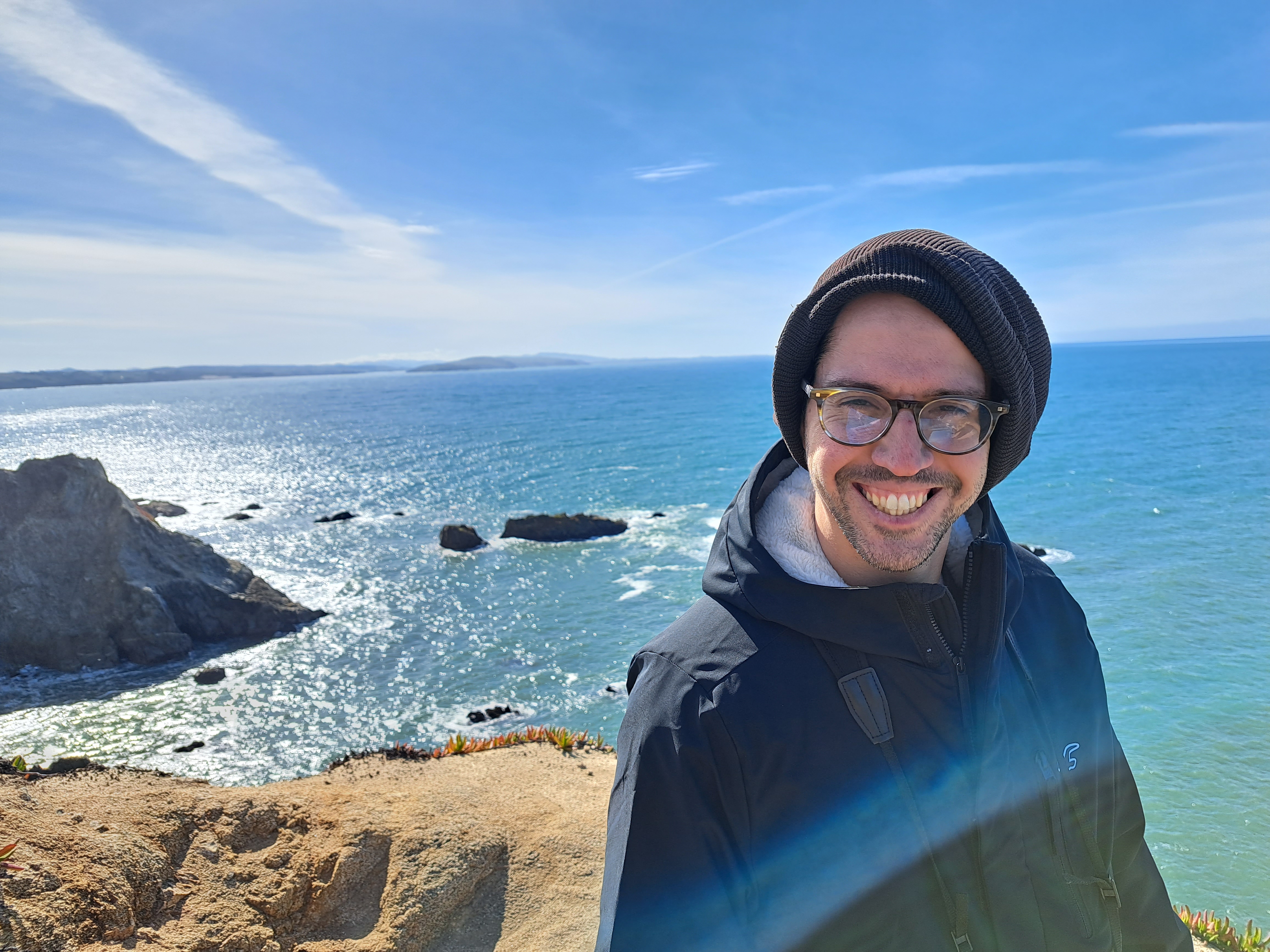
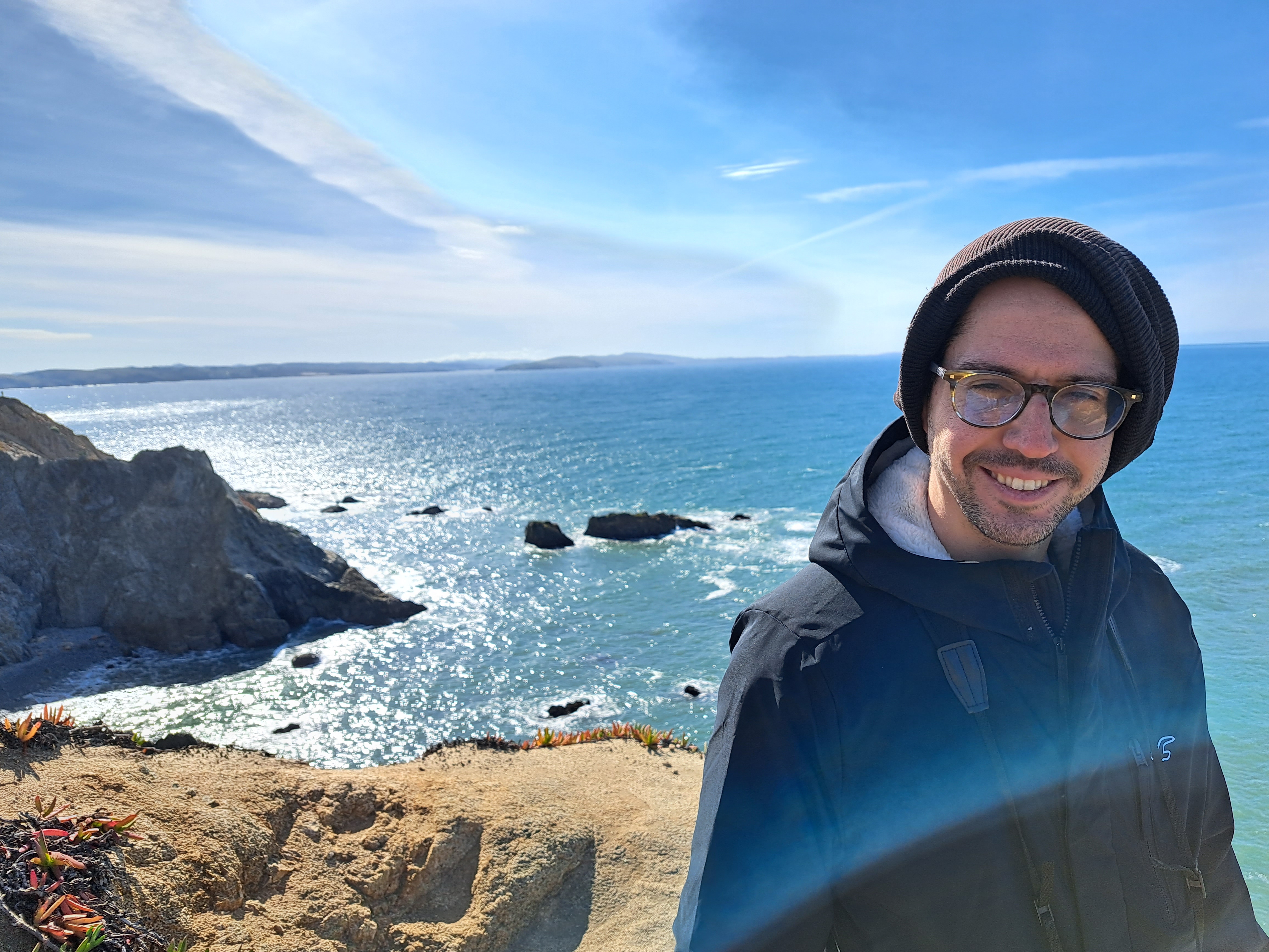
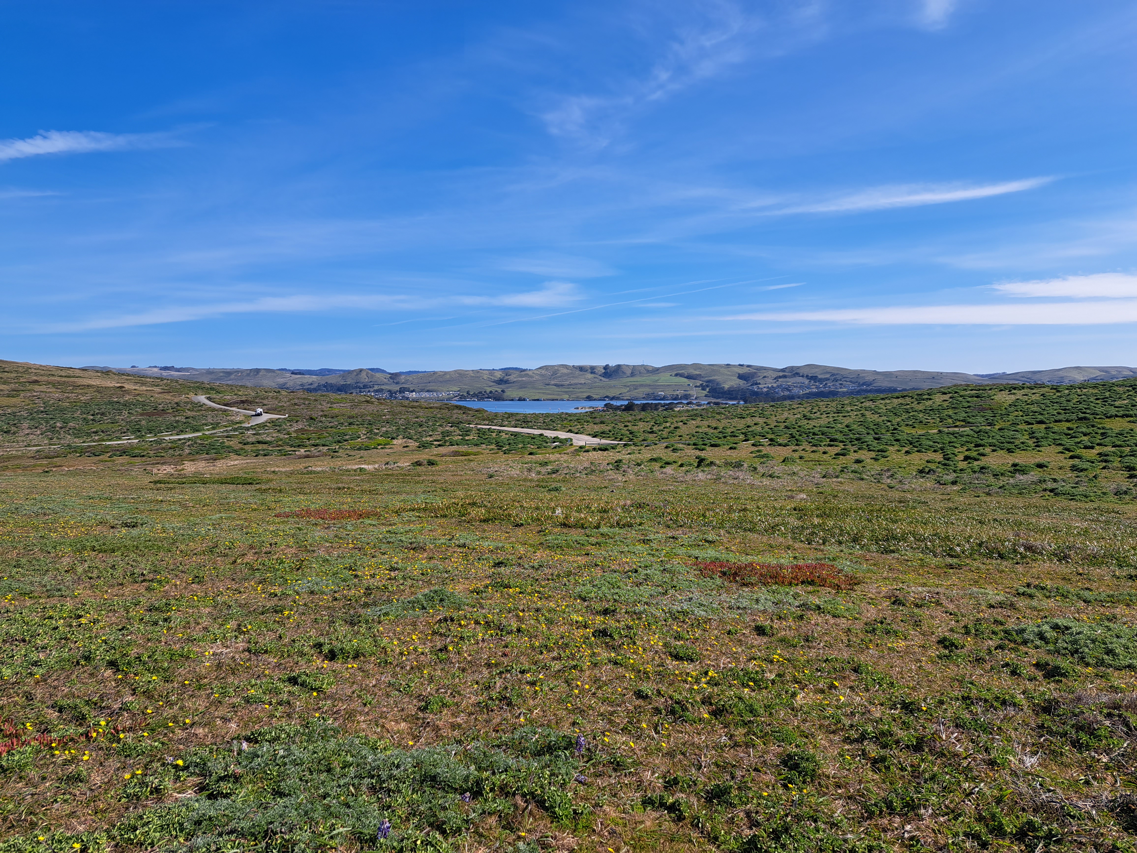
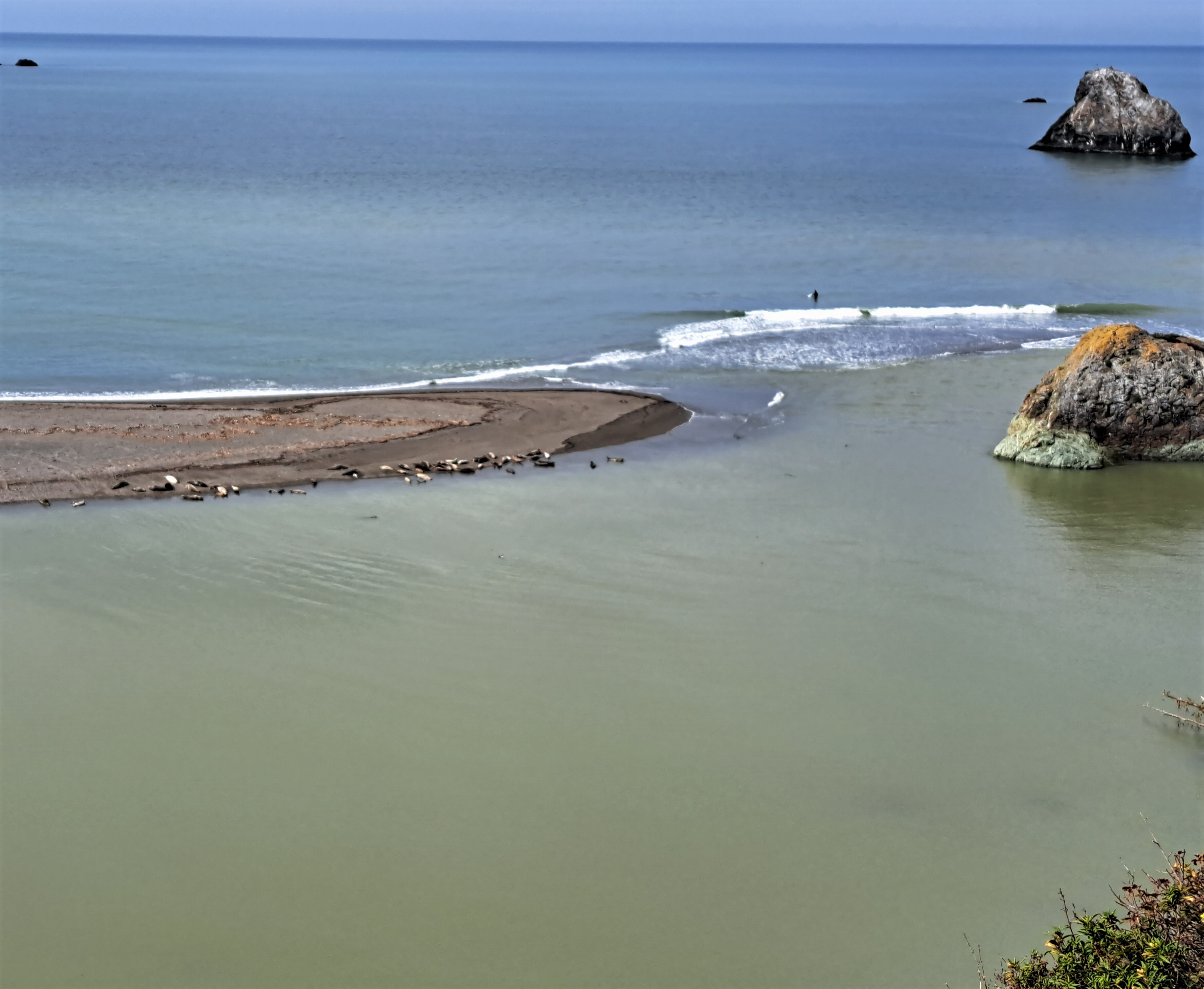
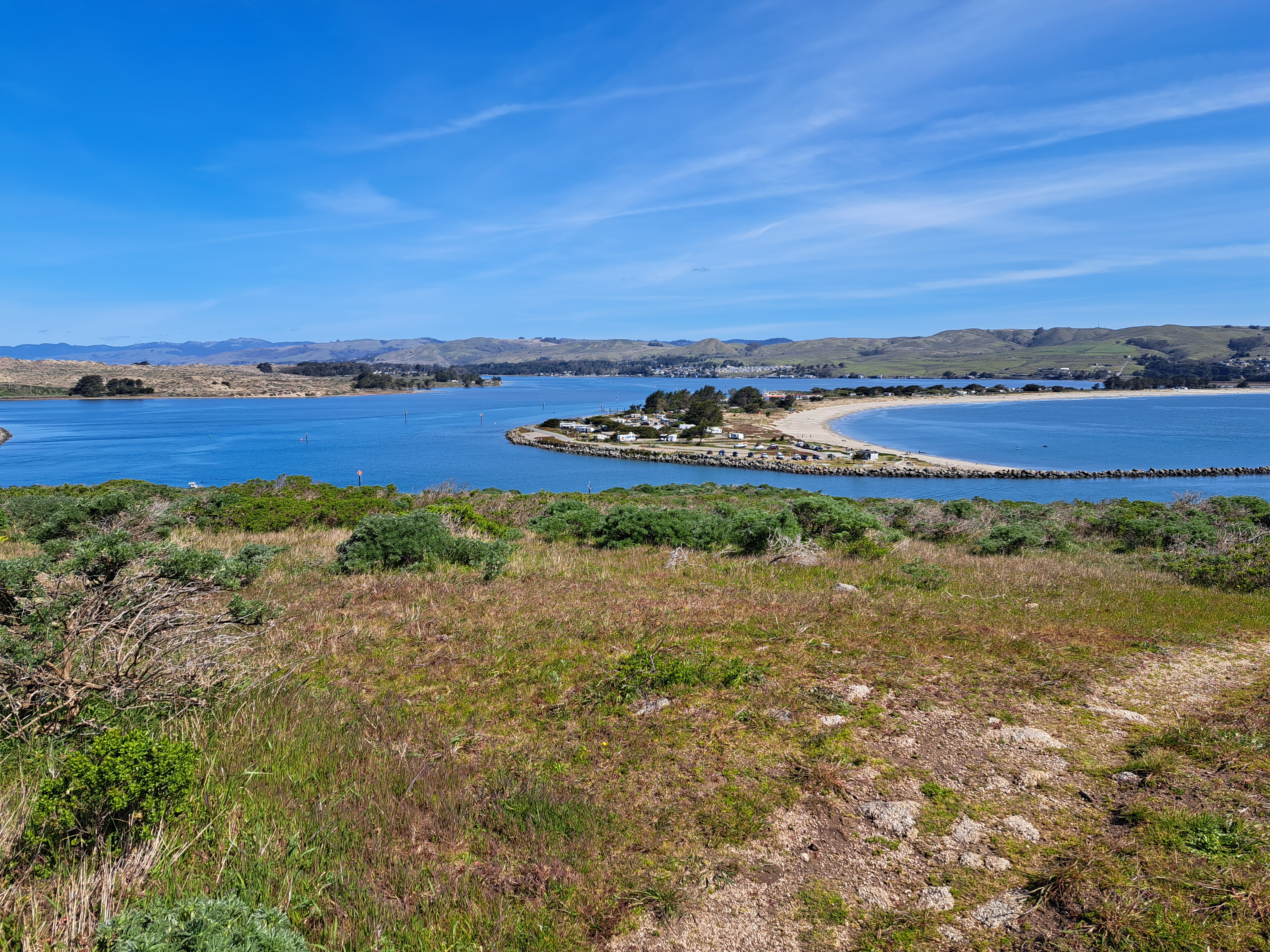
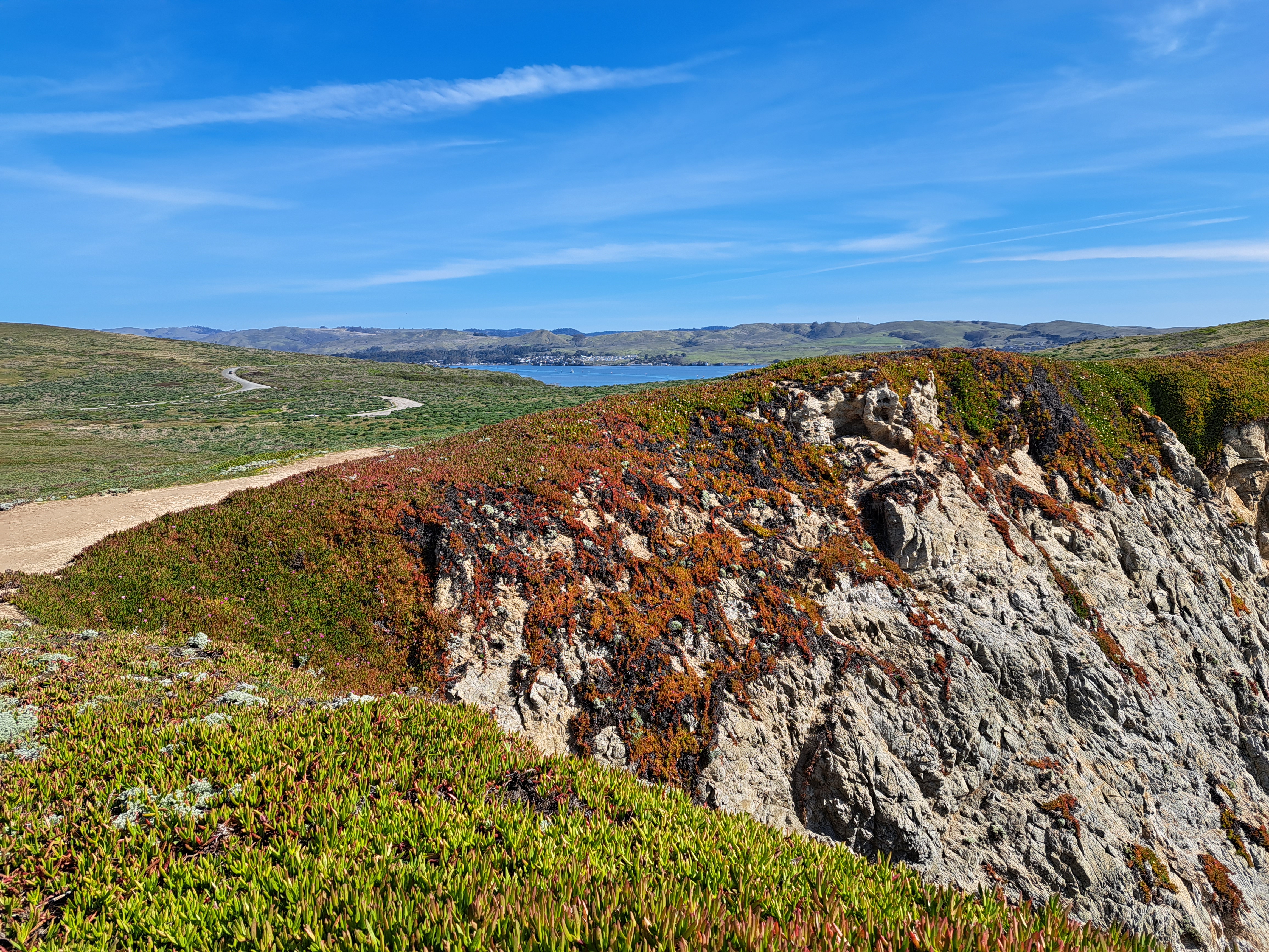
Last Pacific coastal shots for a while…though I might have something left from Hong Kong that I could drag out if I had to, but not a very high-quality shot, for sure :-). Bodega head, looking south toward Point Reyes peninsula in the shots below.
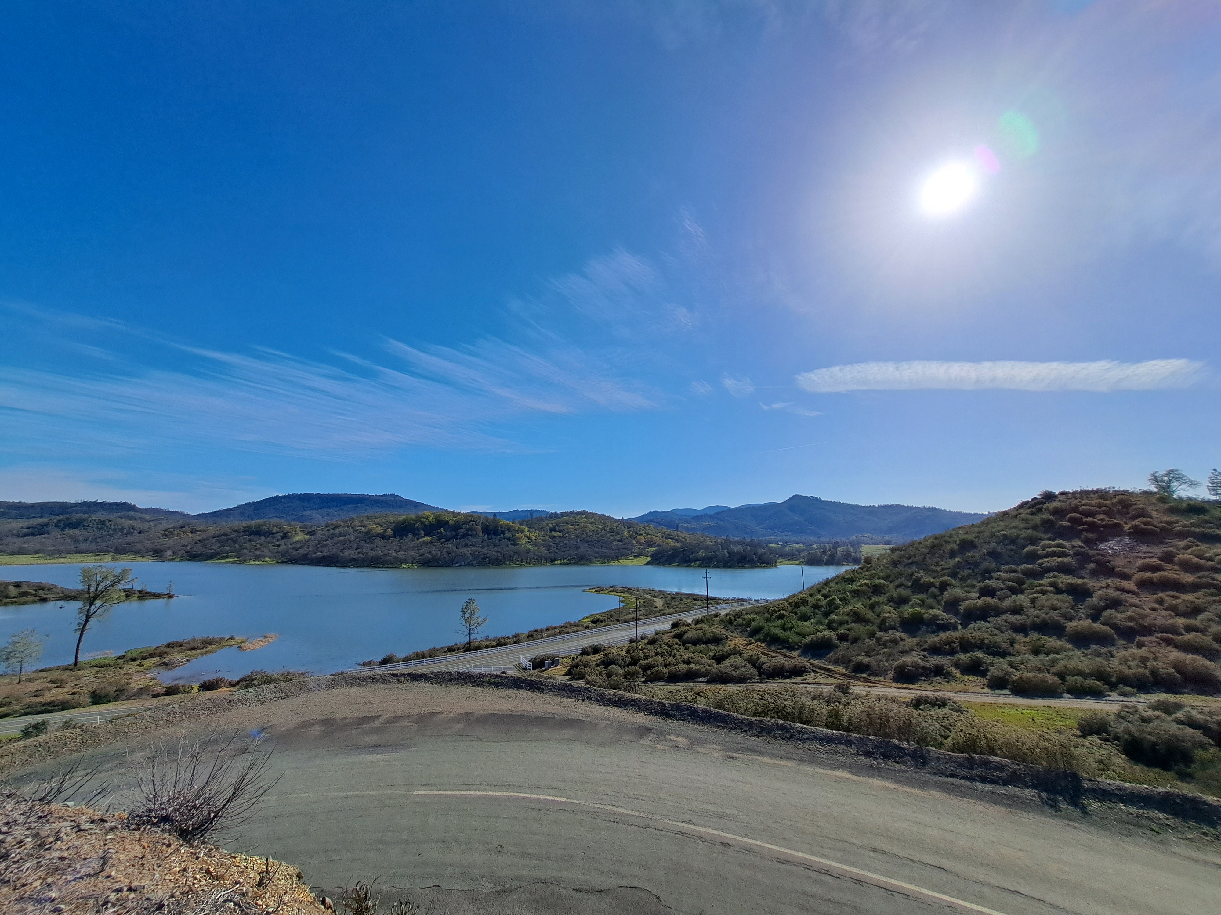
On the drive up to Humboldt, we took the coast road which meant we got to stop at one of my favorite county parks with its lovely seaside redwood forest :-).
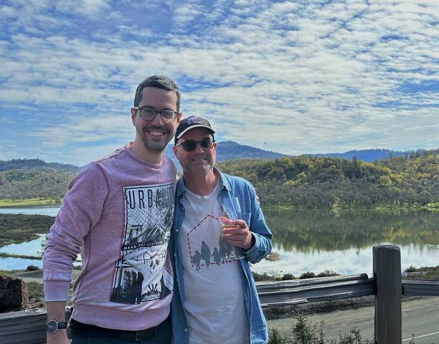
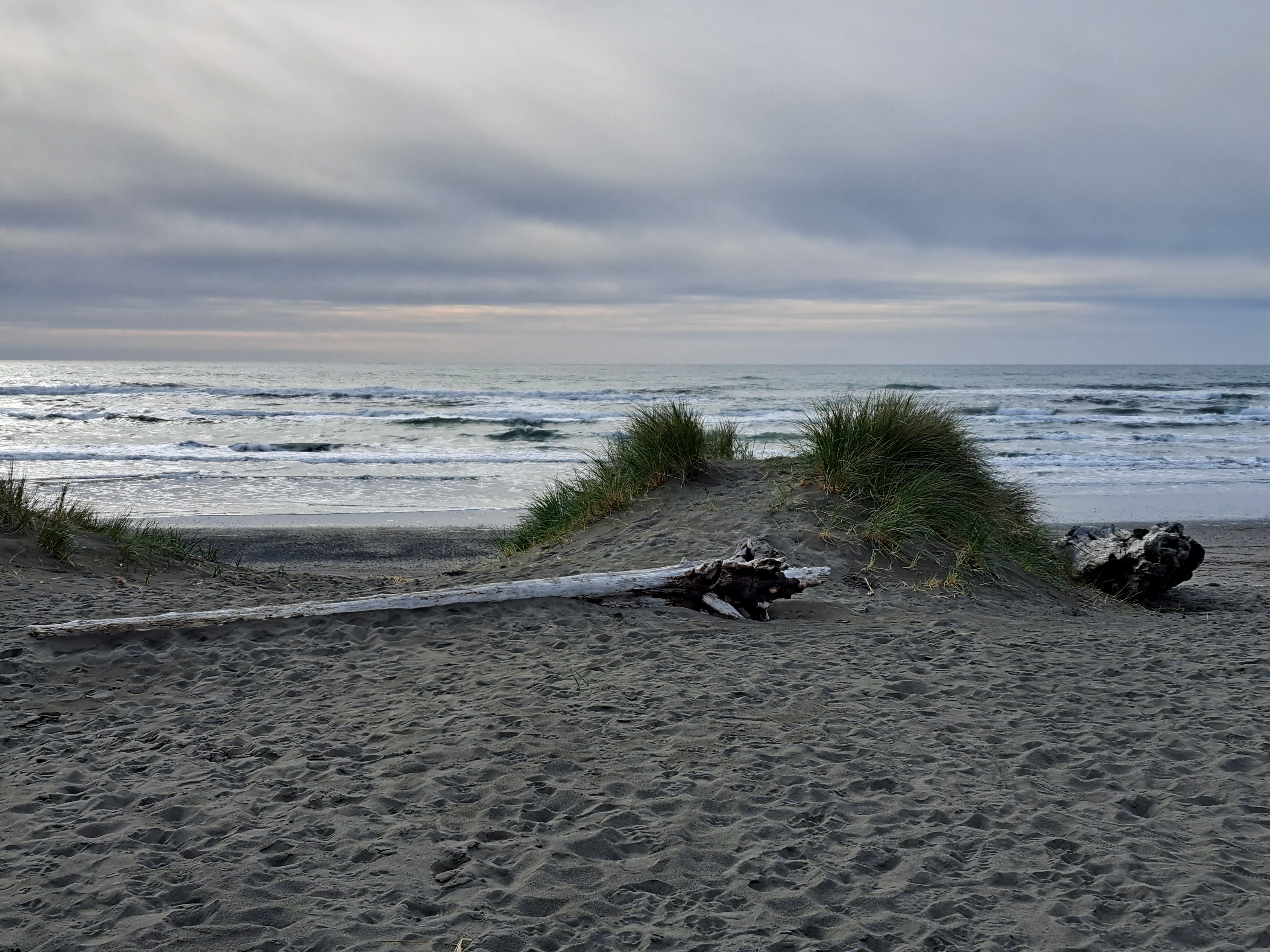
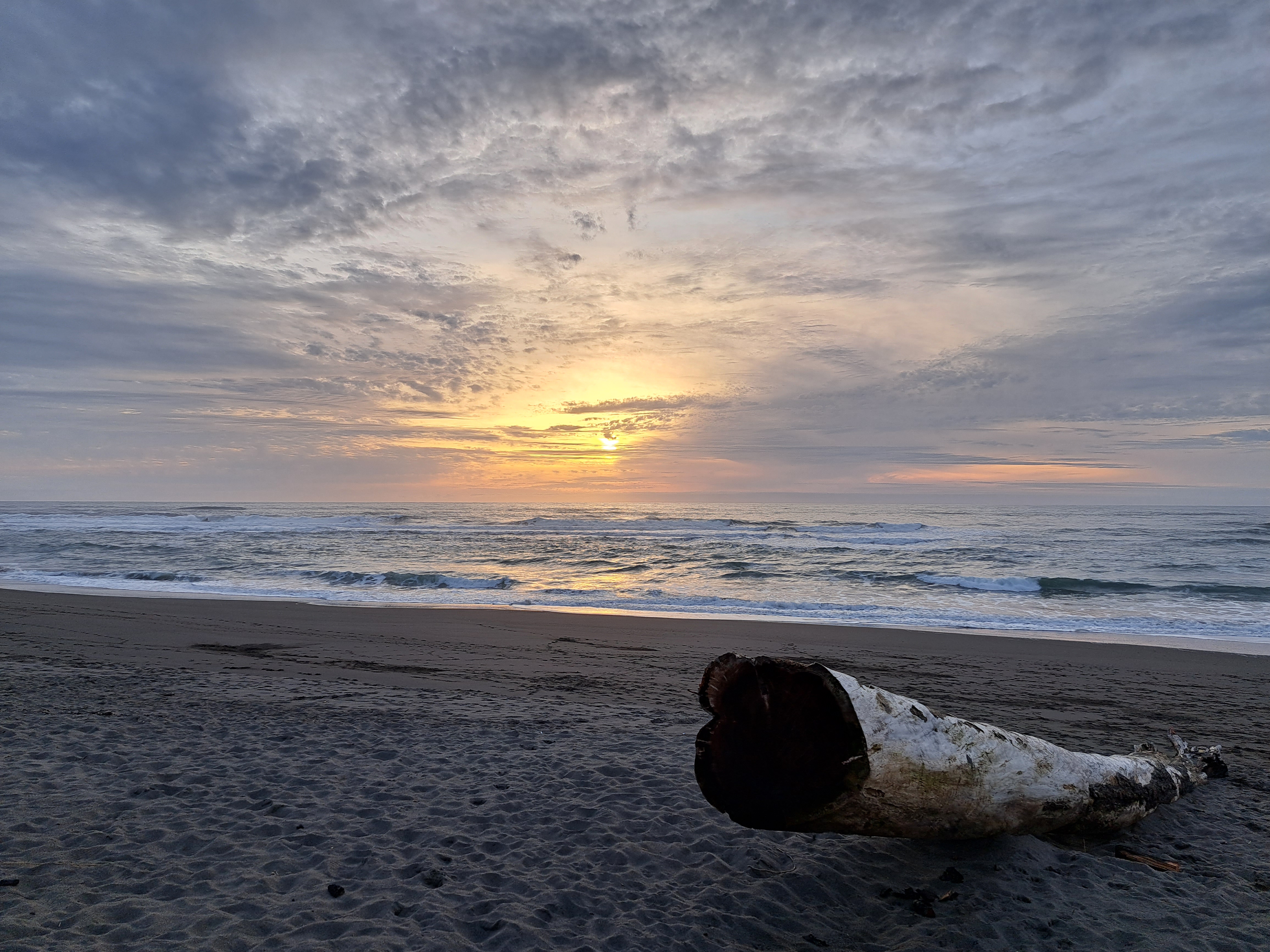
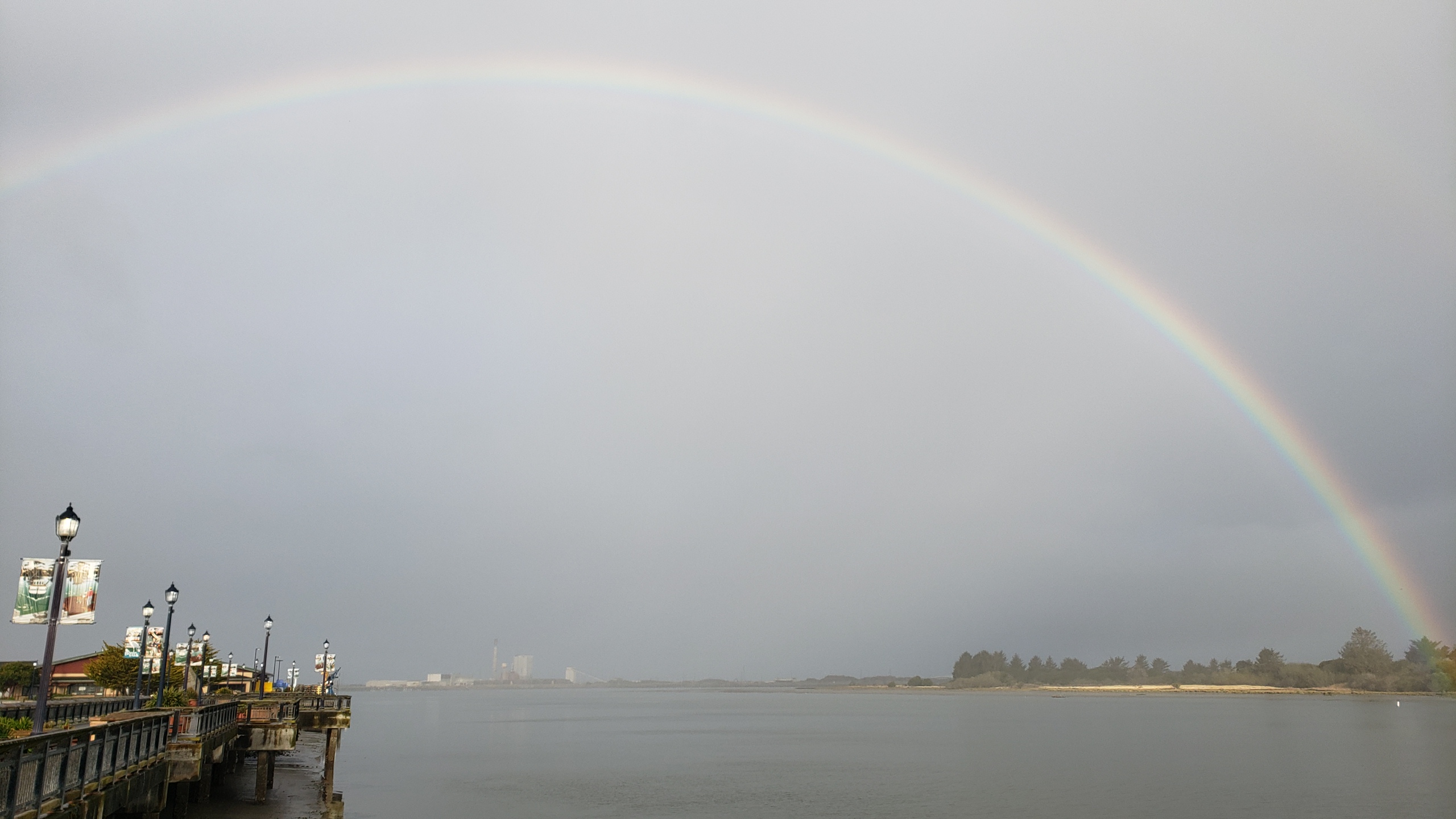
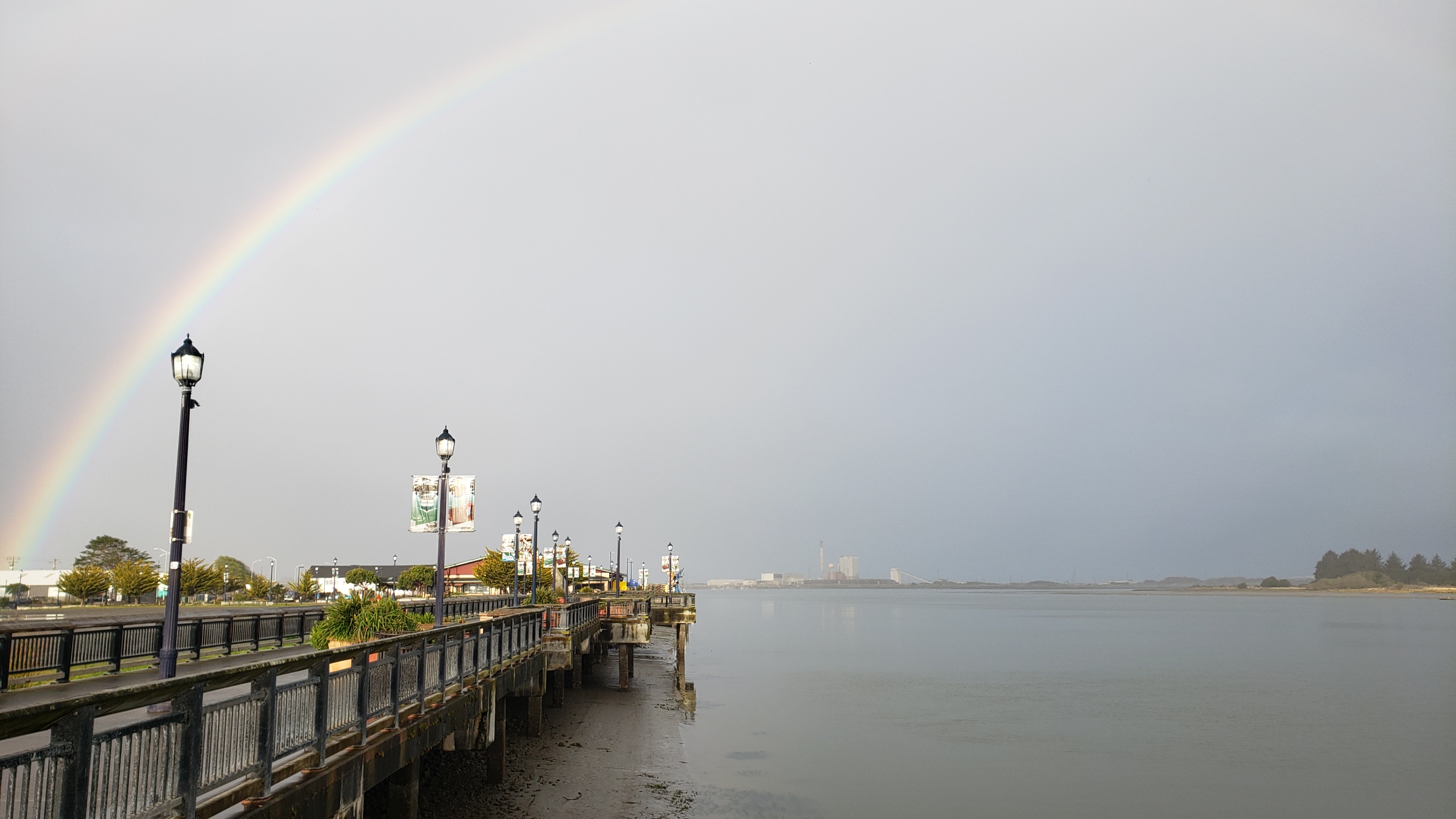
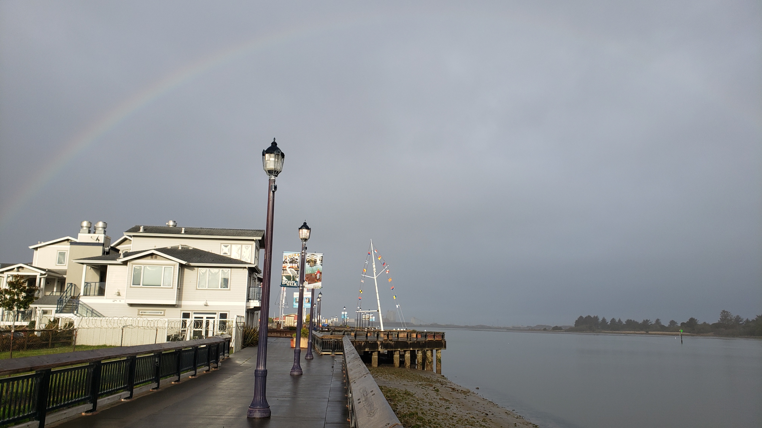
Herewith, sadly, the last photos from our few nights up in Humboldt County with my big(gest) brother last month, thus the end with a sunset. (Thanks for coming down, Chuck!) I don’t have a ton more “coasting-appropriate” photos left, so either I’ll need to get back to a visible coastline again soon, or this series will also go into hibernation like a few others for which photos are getting thin in the folders. Original reason I started these series: to get myself out the door looking for things to post! 🙂
The cluster of houses in the middle distance, on the far side of Bodega Bay, is the village of the same name. This photo was taken from the high cliffs on the ocean-facing side of Bodega Head, some of which you saw in the last “Coasting” entry a bit further down.