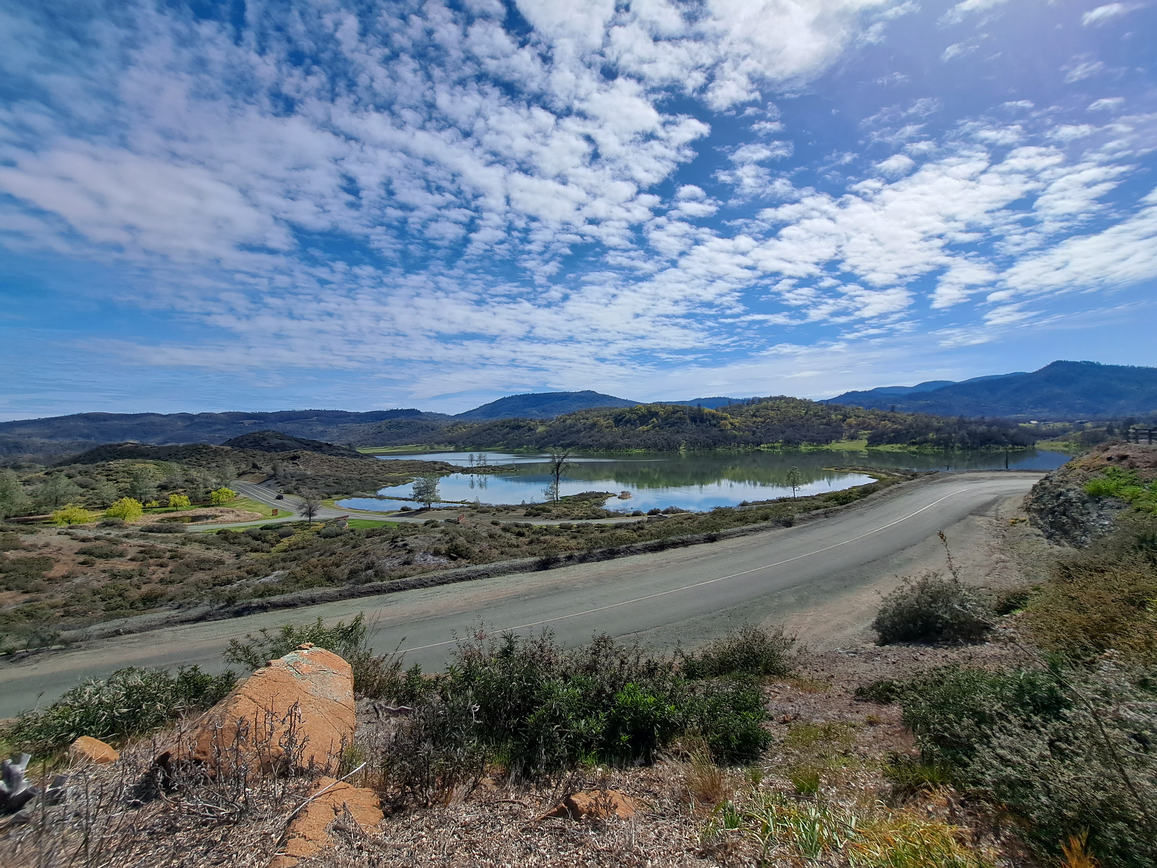
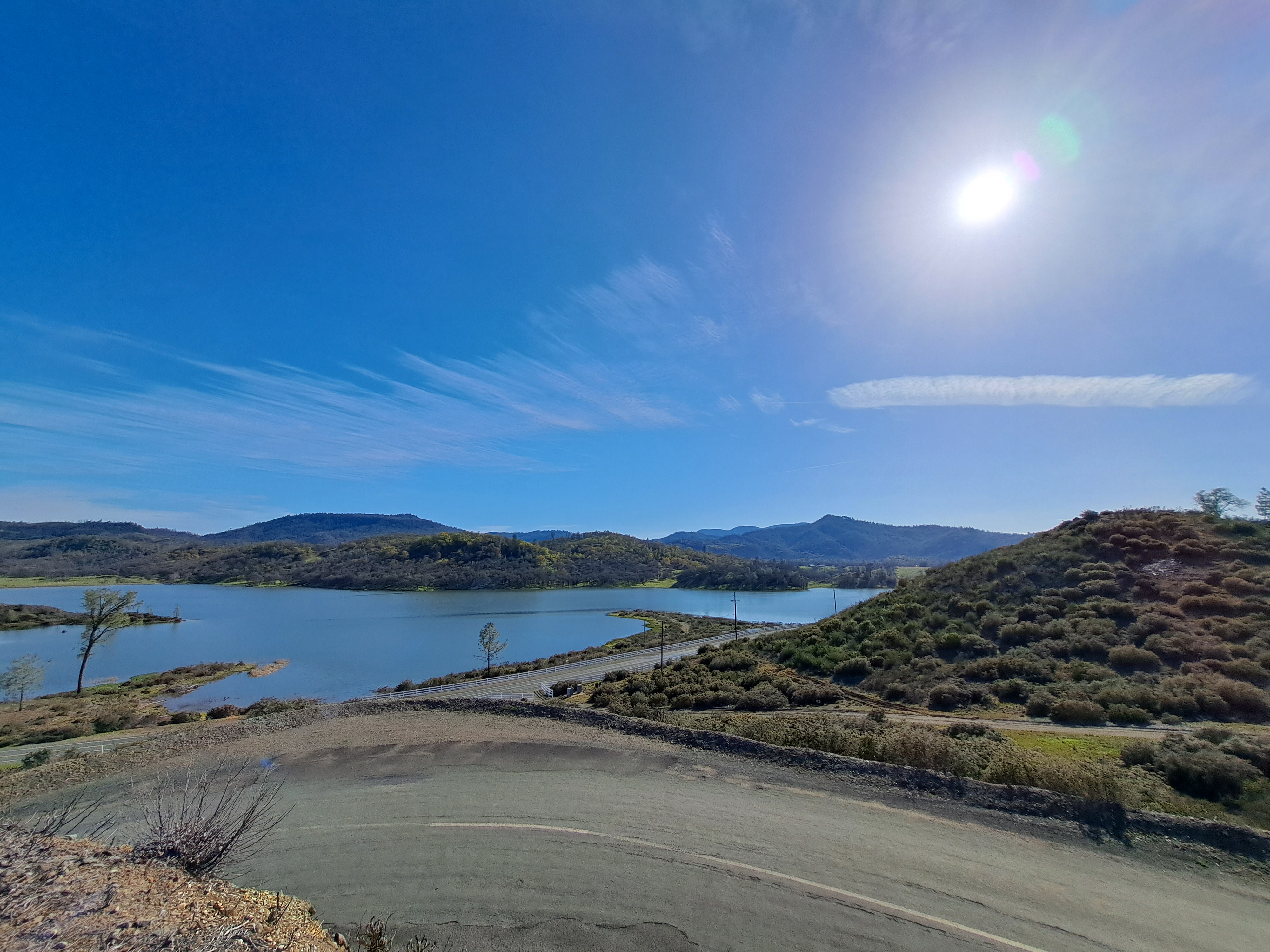
Last photos from the airplane when I left SF after my last US visit in early April, all three in order in which they were taken as our plane flew north along the central valley not long after take-off from SFO. I’m reasonably confident that’s Lake Beryessa in the first photo, and then more of the Snow Mountain Wilderness area.
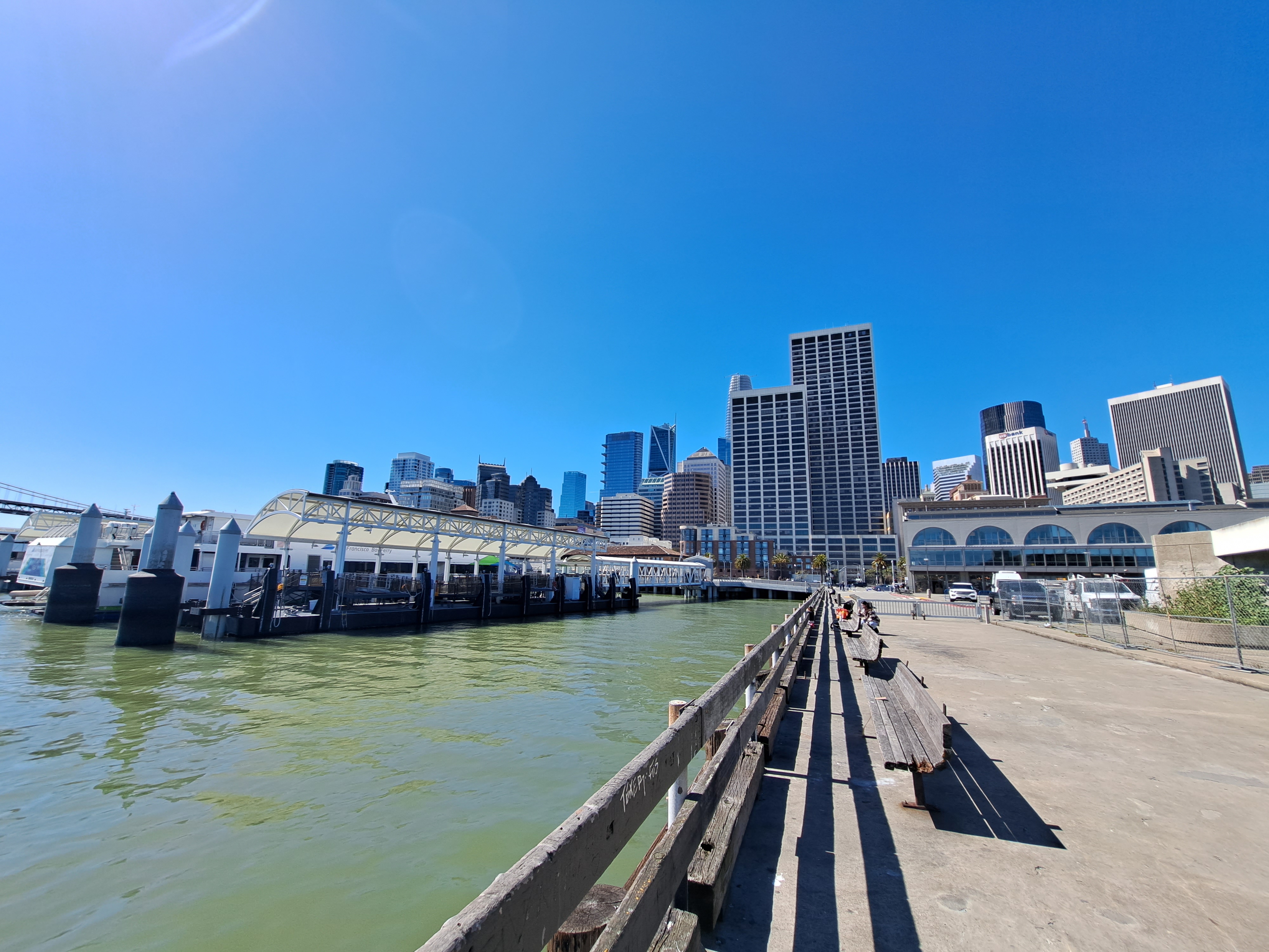
Yes, the wharves by SF’s ferry building can count as “coast” on my own blog if I decide they do. And yes, this means I’ve an urgent need to get to some “real” coastline again asap, or we may run dry on images for this series even sooner than the previously-noted country canals. Second to last post from that March – April US swing, already two months ago, goodness me but time flies when you’re chasing postable images. 🙂
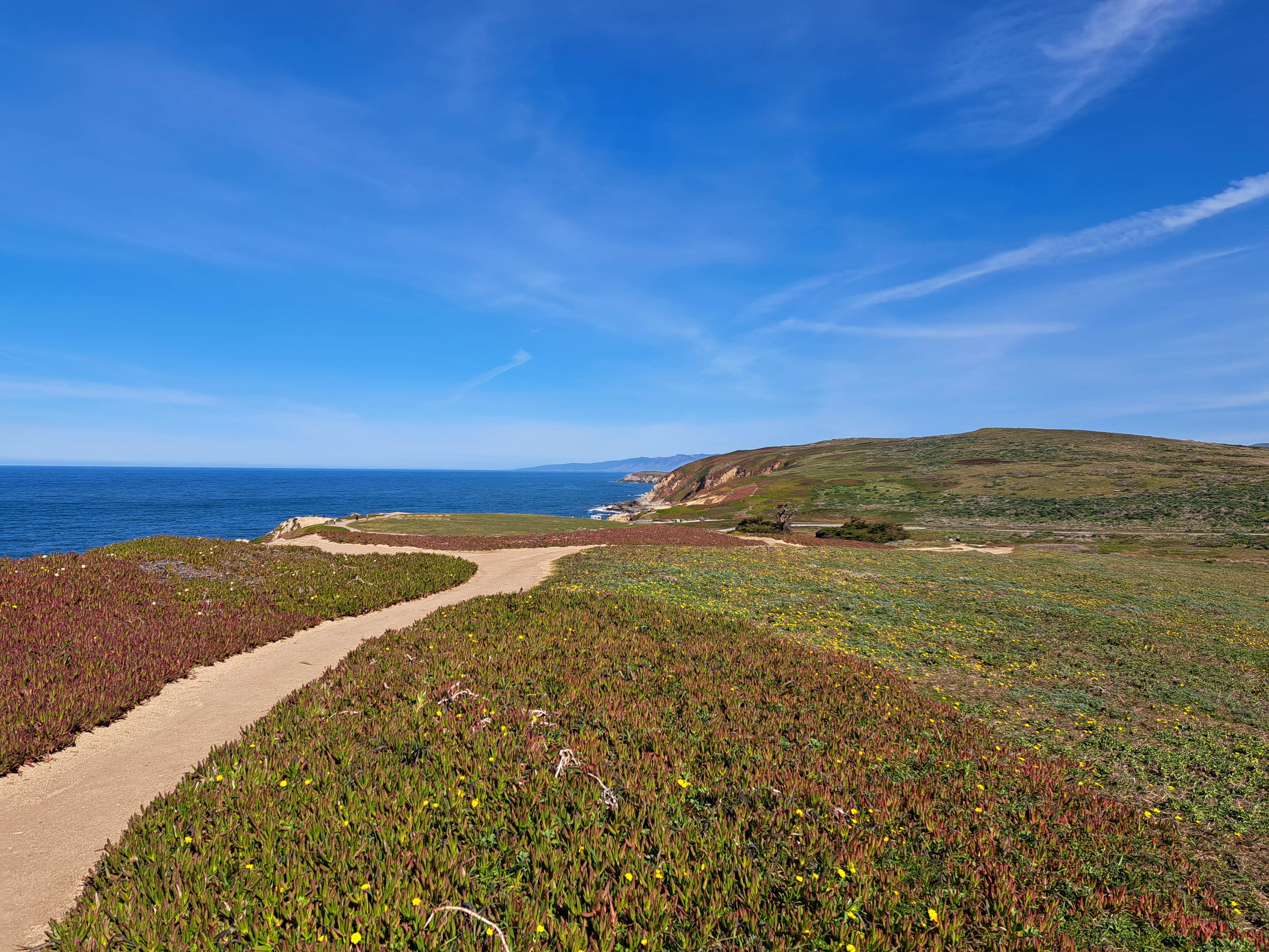
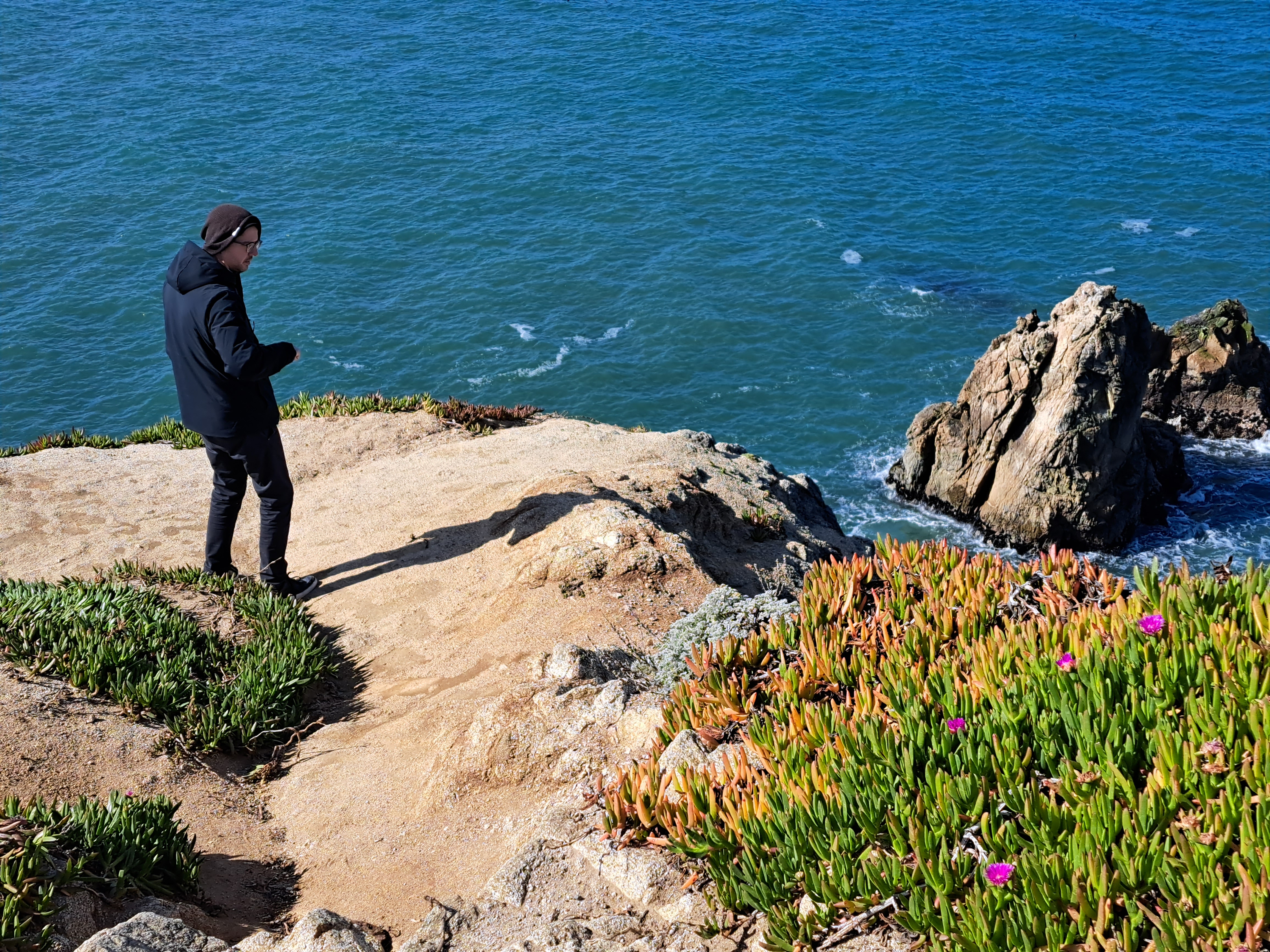
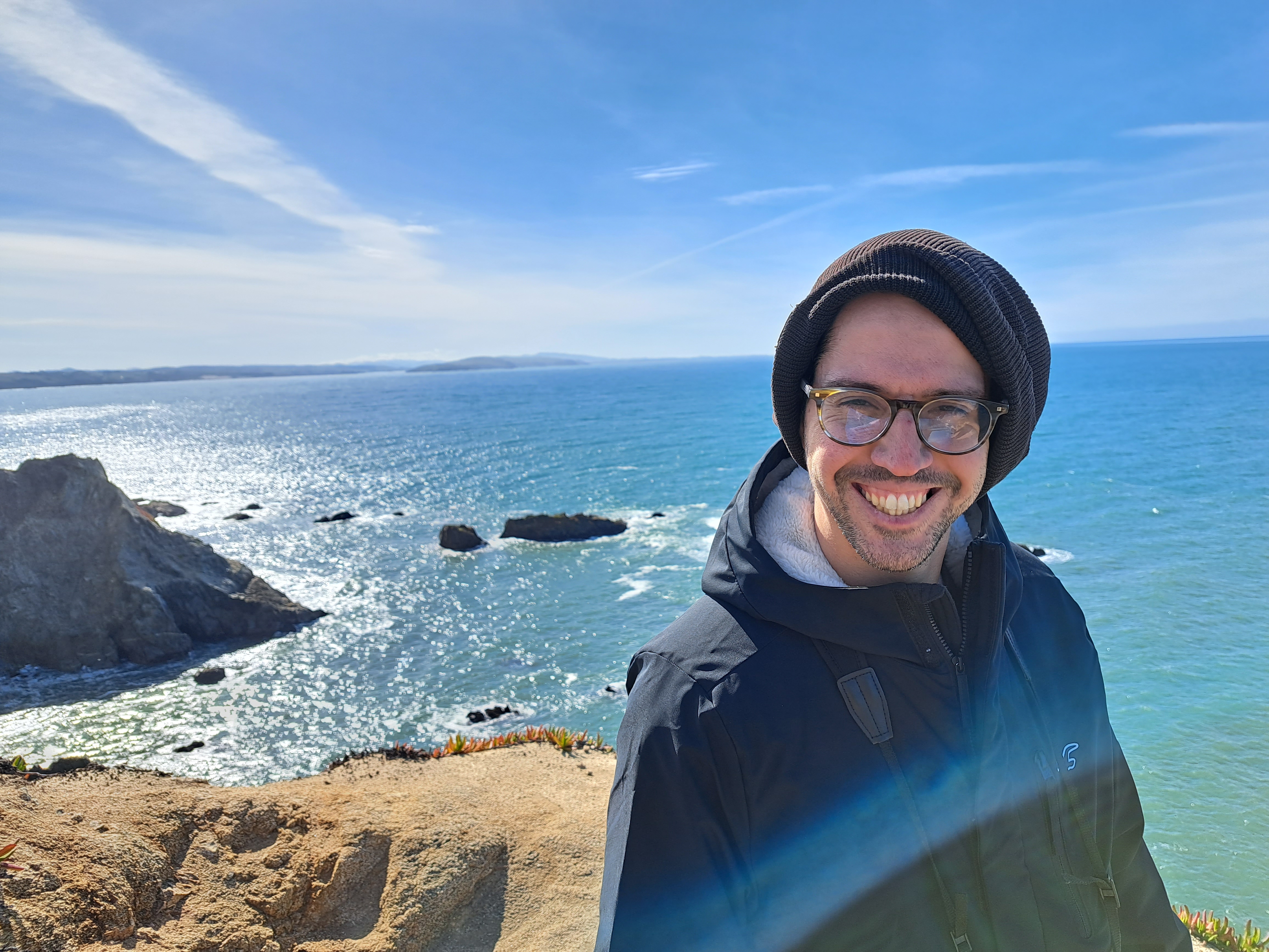
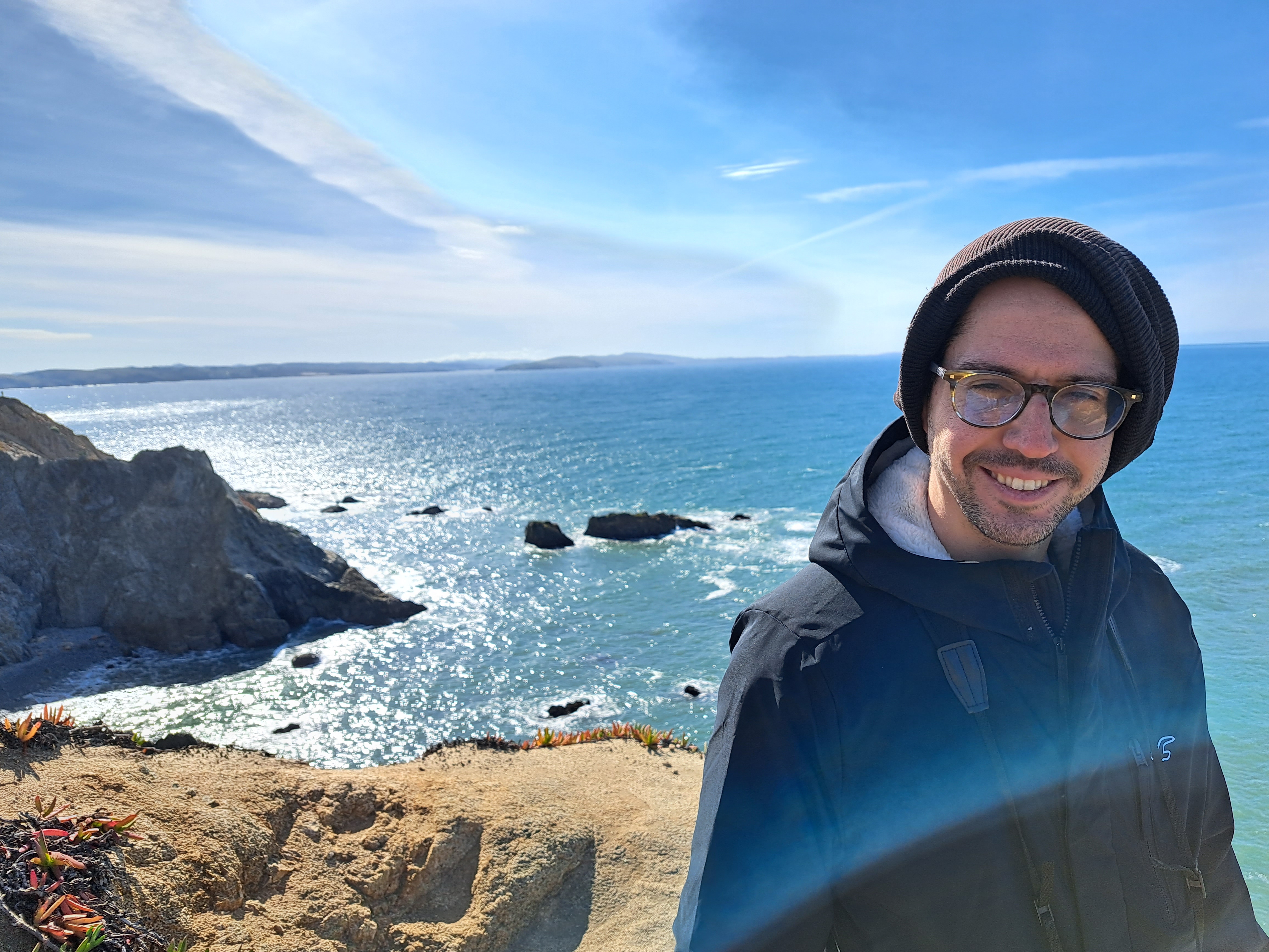
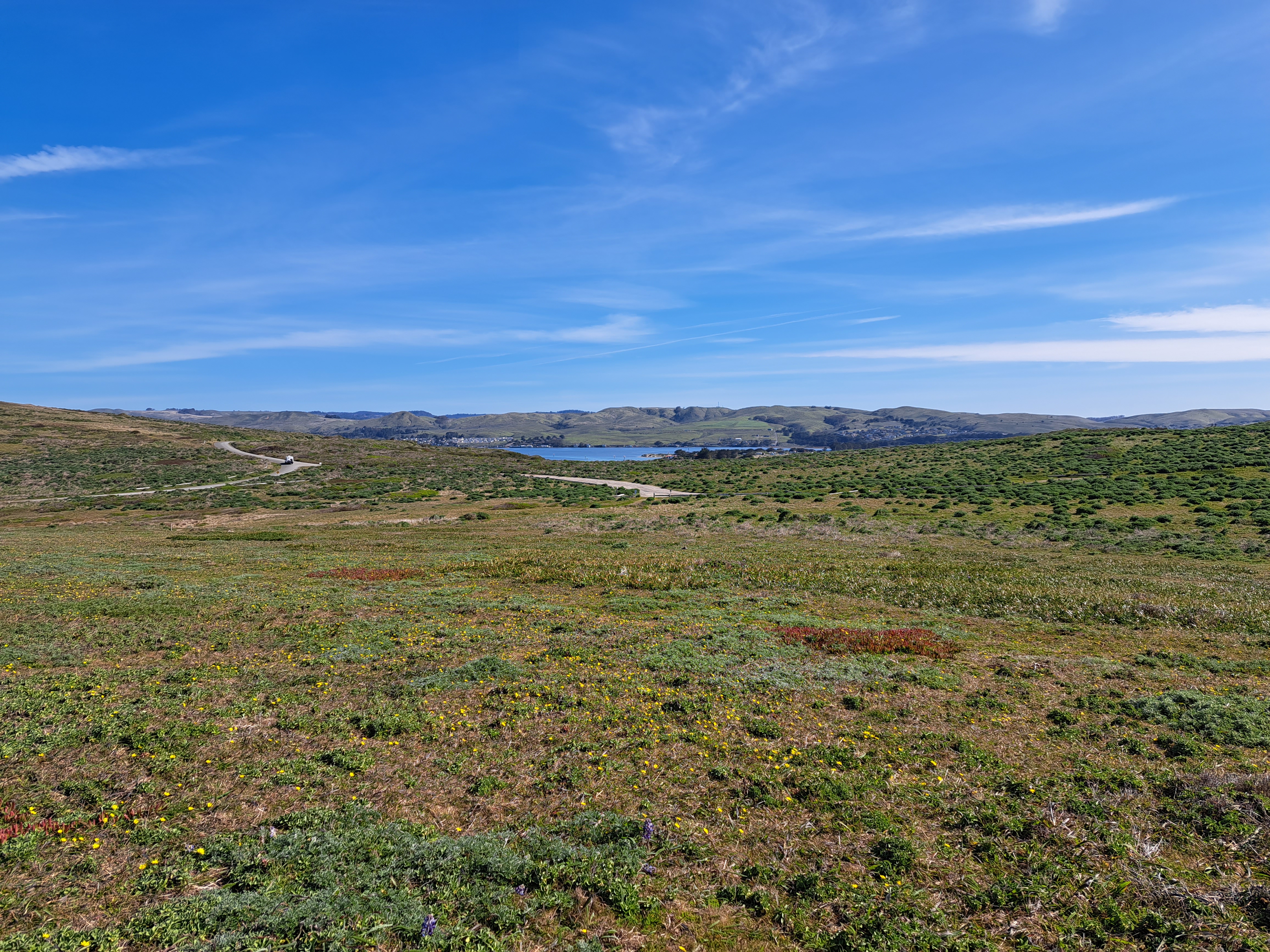
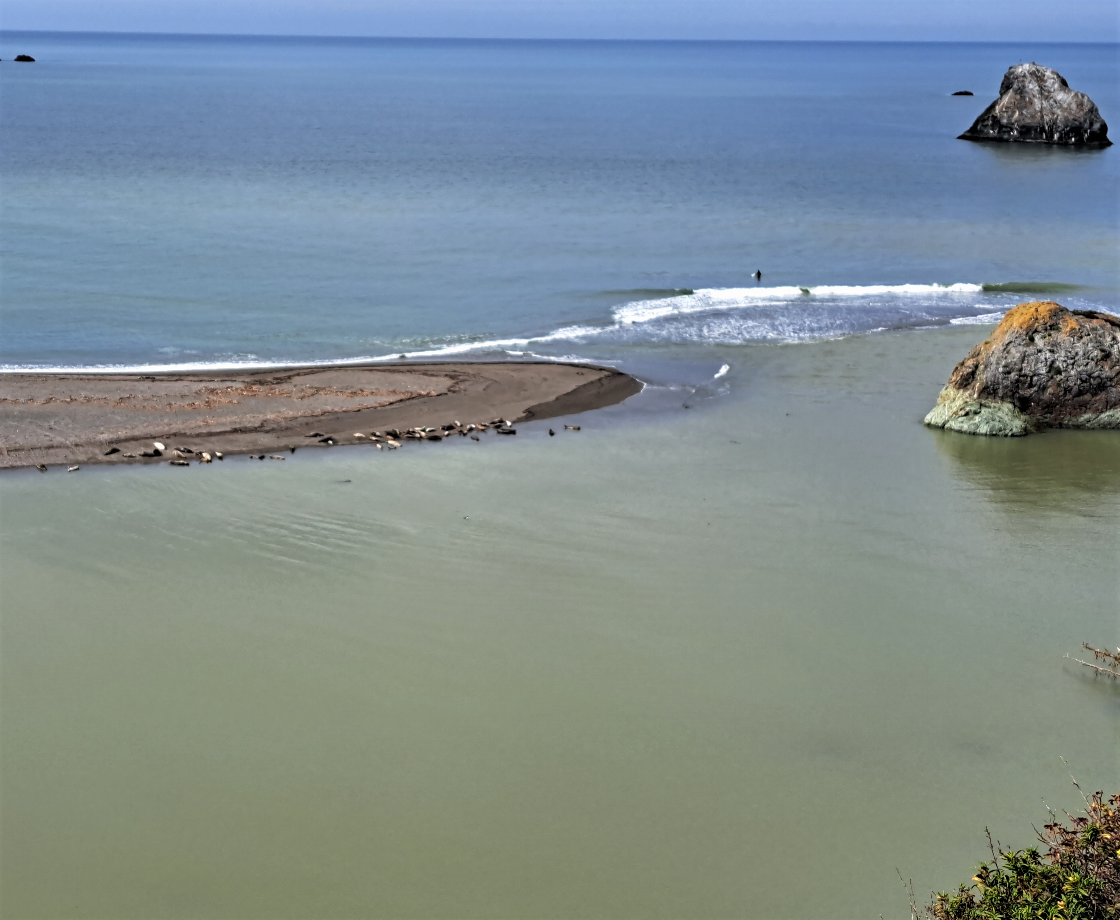
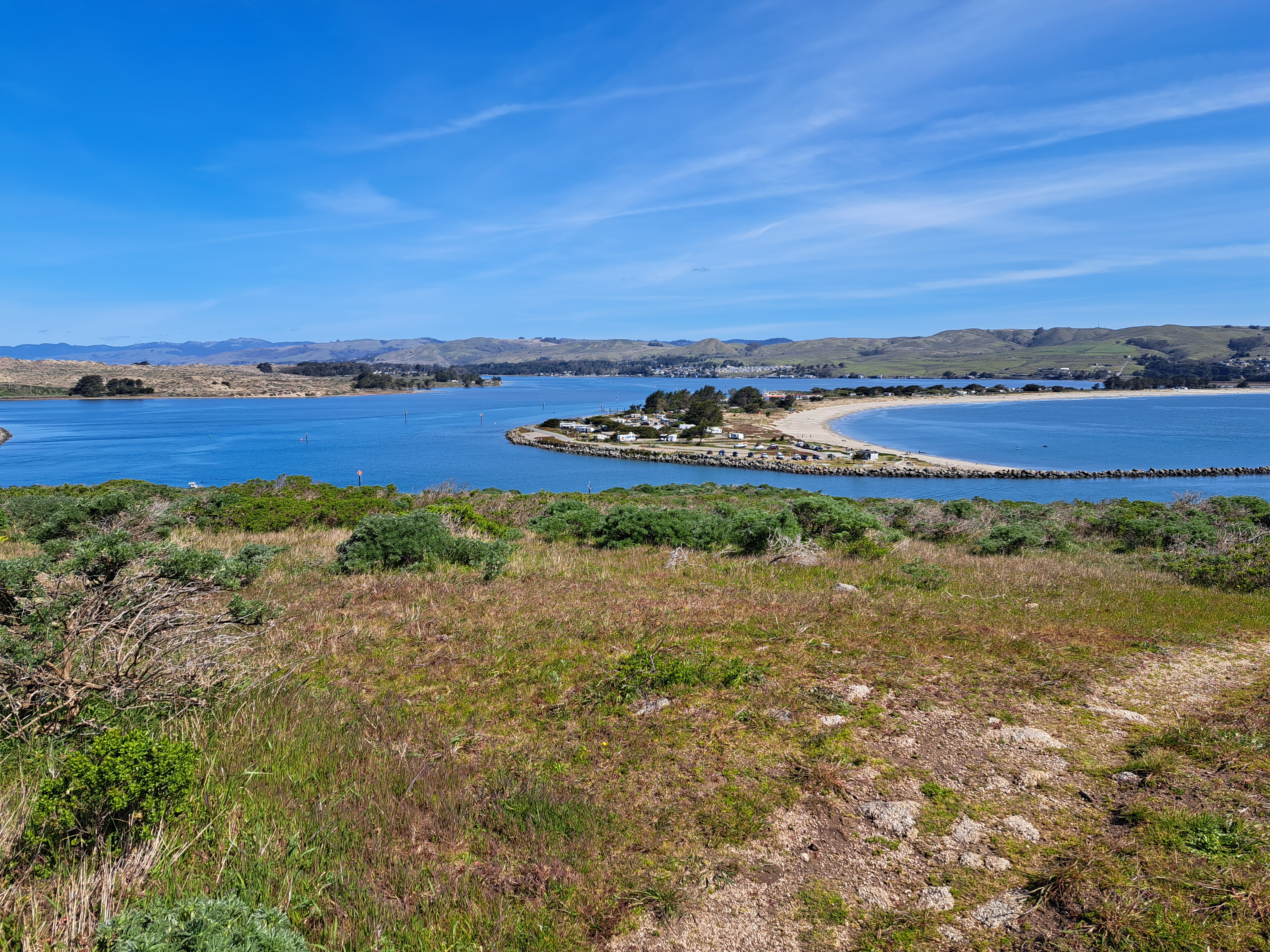
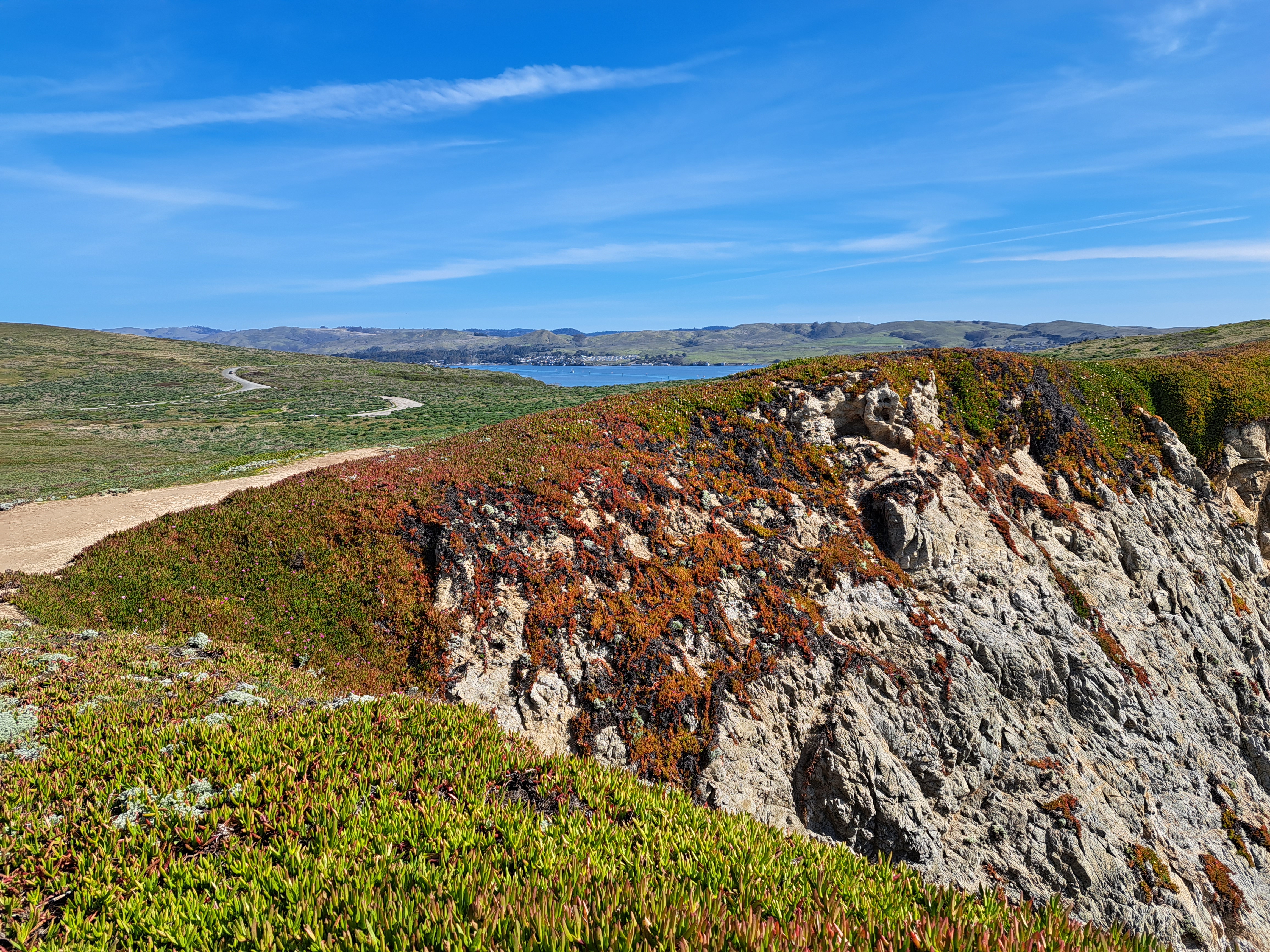
Last Pacific coastal shots for a while…though I might have something left from Hong Kong that I could drag out if I had to, but not a very high-quality shot, for sure :-). Bodega head, looking south toward Point Reyes peninsula in the shots below.
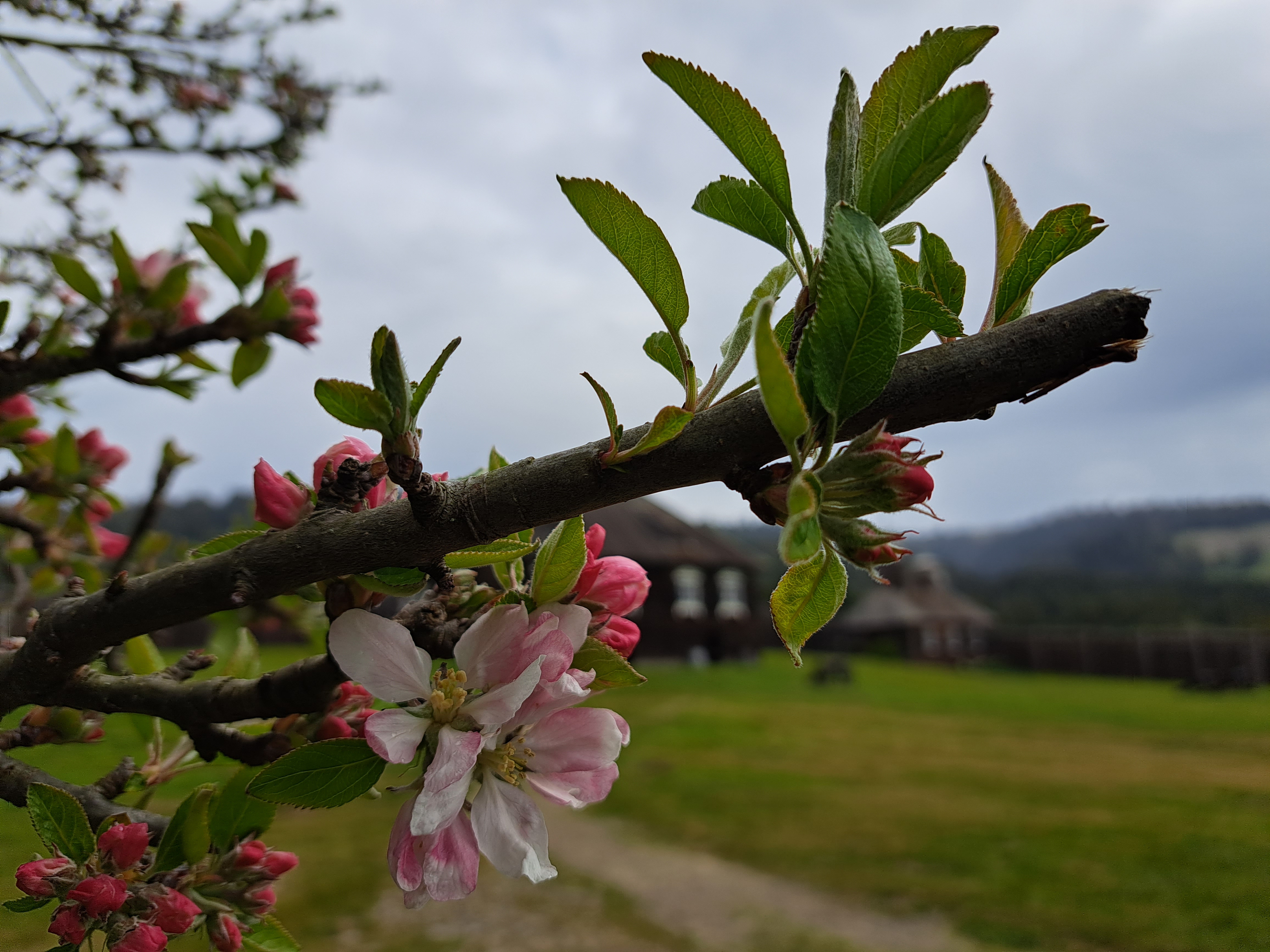
On the drive up to Humboldt, we took the coast road which meant we got to stop at one of my favorite county parks with its lovely seaside redwood forest :-).
The cluster of houses in the middle distance, on the far side of Bodega Bay, is the village of the same name. This photo was taken from the high cliffs on the ocean-facing side of Bodega Head, some of which you saw in the last “Coasting” entry a bit further down.
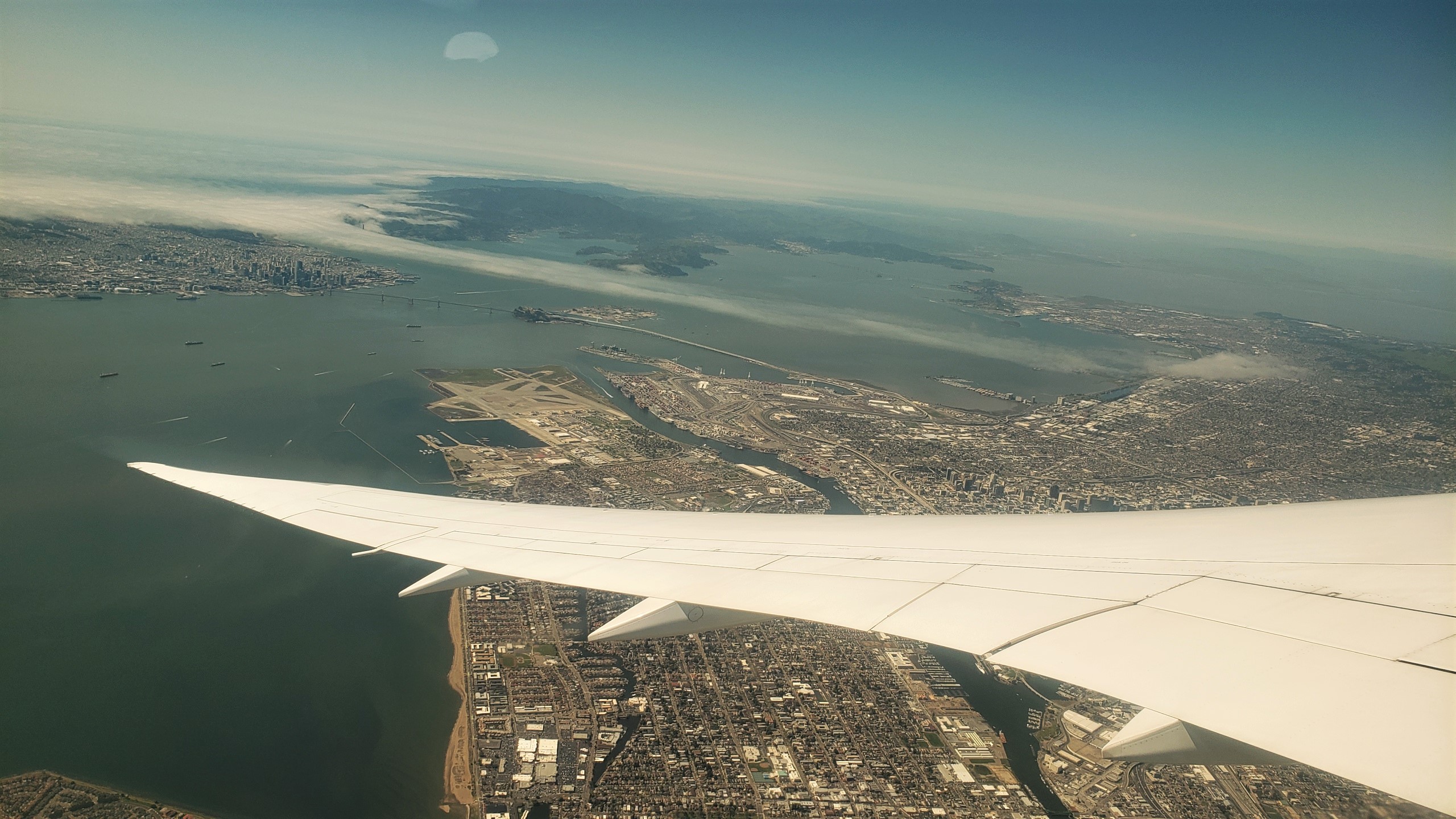
These views of SF and the greater region are from the take-off ascent when we flew back to Amsterdam two weeks ago. The photos at top and bottom were selected as highlights for two reasons. First, because they both show the atmospheric effect of heat in the central valley (more than 100km east – right – of what you see here) pulling cool, moist air — aka fog — in from the vast, cold and wet Pacific directly through the Golden Gate (not the bridge, but the small gap in the coastal mountains which the bridge spans) and then inland, following the river that drains the valley then flows into the bay, in the process flowing over both the city of San Francisco, and some of the surrounding cities to the north and east. Second, because they both also show you the lovely north bay and – if I had that degree of resolution – they likely look right over Sonoma Mountain and the other coastal-range mountains to show Santa Rosa, in its little bowl about 65km north of the Golden Gate. FYI, the bridge you do see is the Bay Bridge, its two spans connecting SF with Oakland and the east bay, forming the western terminus of Interstate 80, just as the George Washington Bridge forms its eastern terminus at the Hudson between NYC & NJ. The Golden Gate Bridge, by that particular Monday afternoon, was already well-wrapped in the fog you see :-).


 These views of SF and the greater region are from the take-off ascent when we flew back to Amsterdam two weeks ago. The photos at top and bottom were selected as highlights for two reasons. First, because they both show the atmospheric effect of heat in the central valley (more than 100km east – right – of what you see here) pulling cool, moist air — aka fog — in from the vast, cold and wet Pacific directly through the Golden Gate (not the bridge, but the small gap in the coastal mountains which the bridge spans) and then inland, following the river that drains the valley then flows into the bay, in the process flowing over both the city of San Francisco, and some of the surrounding cities to the north and east. Second, because they both also show you the lovely north bay and – if I had that degree of resolution – they likely look right over Sonoma Mountain and the other coastal-range mountains to show Santa Rosa, in its little bowl about 65km north of the Golden Gate. FYI, the bridge you do see is the Bay Bridge, its two spans connecting SF with Oakland and the east bay, forming the western terminus of Interstate 80, just as the George Washington Bridge forms its eastern terminus at the Hudson between NYC & NJ. The Golden Gate Bridge, by that particular Monday afternoon, was already well-wrapped in the fog you see :-).