Road Trips Along Route 80
smw, slt is now back at work in Bangladesh. But I’ve not yet brought out my camera, or figured out what rules of courtesy (or law) apply to taking photos on the crowded streets of Dhaka, which will be my home and place of work for what should be an extended period of time now. It’s been actually quite lovely to reconnect with colleagues I worked with when I was last in Dhaka or in Cox’x Bazar. This past week I actually squeezed in a short visit to Cox’s, from which I so enjoyed posting those daily “longest-beach” updates in January. Didn’t make it to the beach on that 24-hour visit, but hopefully again in future visits. In the meantime, I’ve used some free time this weekend to sort through photos that have sat in folders on my computer during the eventful, and sad, nine months between my last departure from BD and my return here two weeks ago.


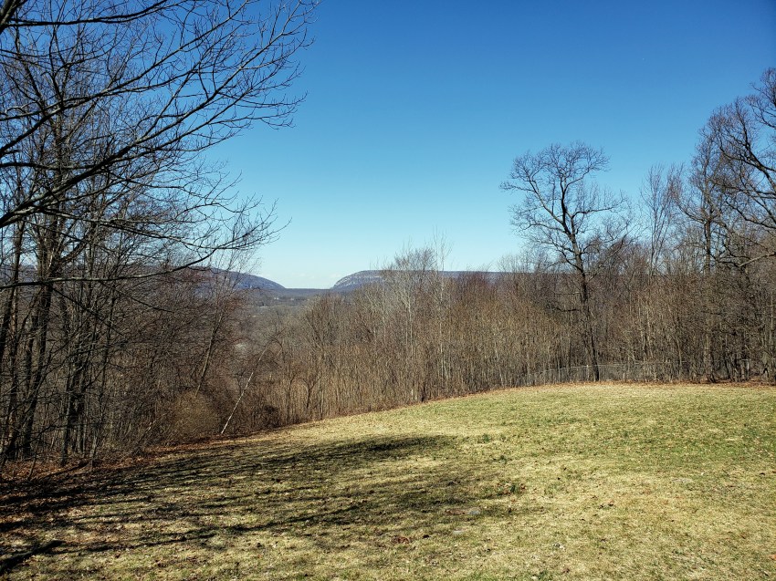
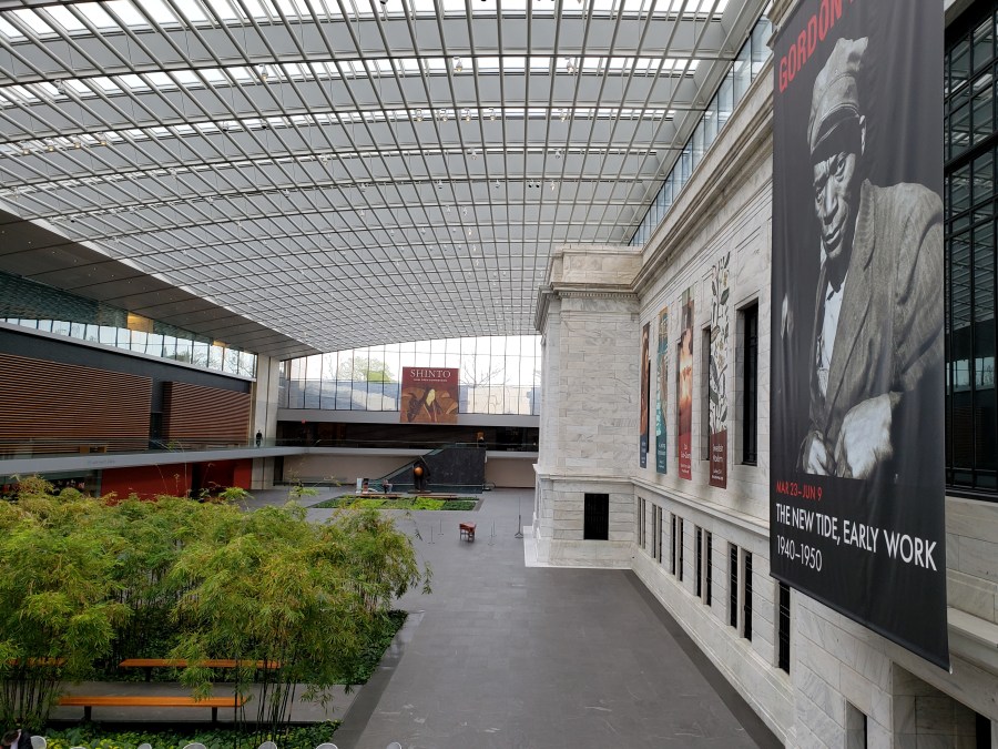
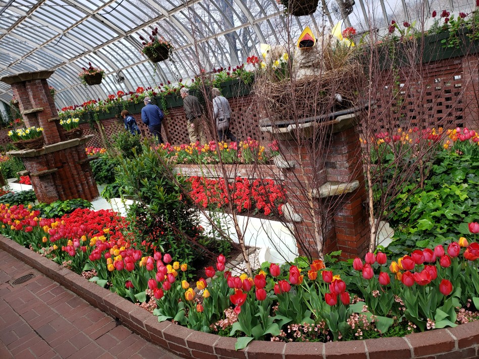
In this post, I’m sharing photos of locations reached by car along Interstate-80 from what used to be my mother’s home in NJ — places she, I, and my brothers visited more than once over the years. Above, the Delaware Water Gap seen from a rest stop while I was driving out for a few early-April days visiting my brother in Pittsburgh, and actually giving a talk about our work here in BD at Carnegie Mellon University. (Ah, well-maintained, wide highways with publicly-maintained rest stops featuring picnic tables and usually some form of flushable or water-free toilet, and often even drinkable water coming from publicly maintained drinking fountains! The luxuries Americans don’t even realize they have…) In the gallery and other photos above & below, images from the lovely Phipps Conservatory in Pittsburgh, and from the Cleveland Museum of Art, taken during a visit with cousins and my middle brother, Steve, in early May. (Ah, local cultural institutions open to the public for enjoyment and education…the pleasures and privileges of living in an essentially stable, wealthy society with tax laws that encourage the ultra-rich to set up such institutions to benefit future generations…)
Enjoy 🙂


Meditation & Nature – Coastal New England
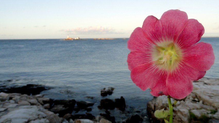
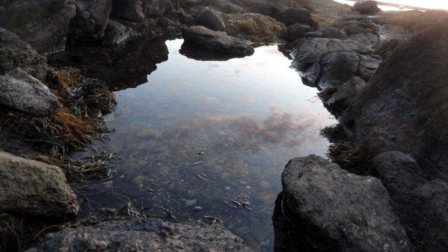
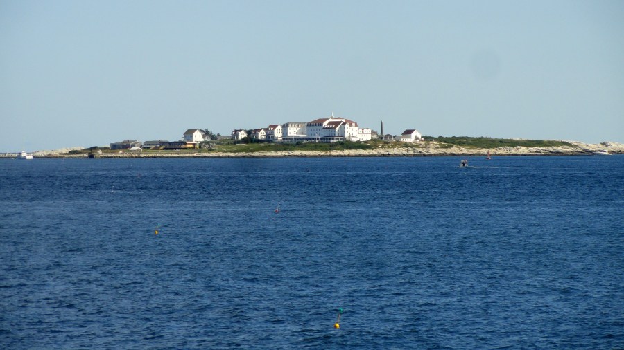

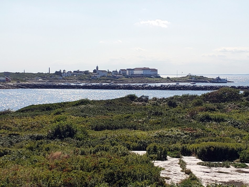
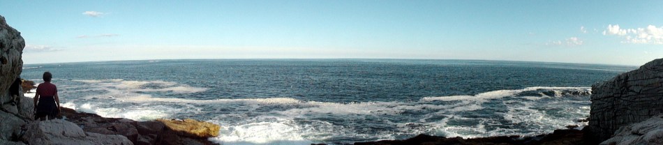
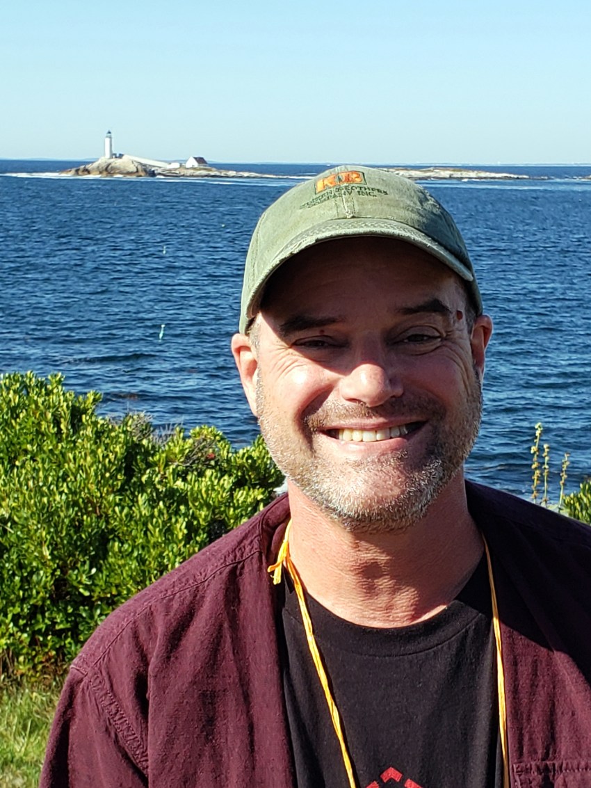
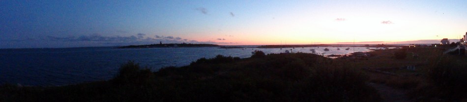
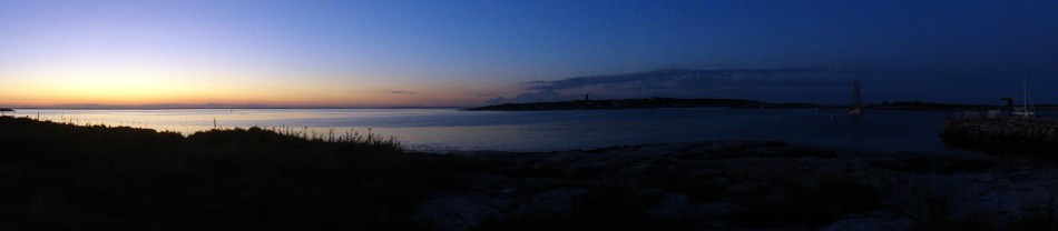
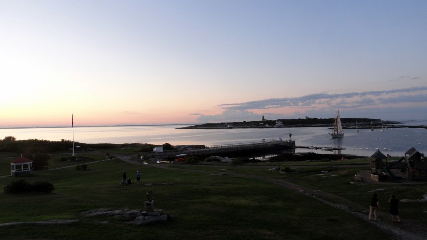
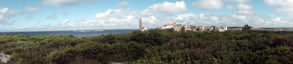
This year I finally made it back to Star Island, a speck of rock amidst other specks of rock off the coast of New Hampshire in the northeastern corner of the US. Past entries with photos from weeks of meditation on this island have explained its place amongst earliest permanent European settlements in North America, and its importance at one point in setting the commodity price of cod internationally. This time, I think I’ll let the photos speak for themselves. I got out by kayak and rowboat a few more times than in past years, and our meditation week was later in the season than past years. These two facts meant that 1) was able to explore the Star Island rocks more than usual, because the seagulls were not in nesting season, and therefore were NOT dive-bombing all mammals that came close anywhere near the rocks; and 2) I explored Smuttynose Island more, finding that spiders can ingeniously spin webs anywhere even on apparently barren rock. (See a photo in the gallery just below, for an example.) The minute I started stumbling over spiderwebs in all corners of the rocks, I realized it made perfect logical sense: where birds poop there will be bugs. Where bugs congregate, there will be spiders to feed on them. Where there are spiders, there will be webs upon which to tangle one’s legs in unpleasant messes. Yuck.
But such is life, and such was my week of reflection and gathering myself again after the important family milestones which immediately preceded my week on Star – as documented a bit in the last post. I hope before too much longer to post from other outings and trips in recent months, both here in California and in Europe. Then, at some point, I’ll start posting again from a field assignment for which I am leaving shortly. Thanks, as always, by expressing your support by reading (and often commenting on) this long-lasting little blog project o’ mine 😊. Peace.




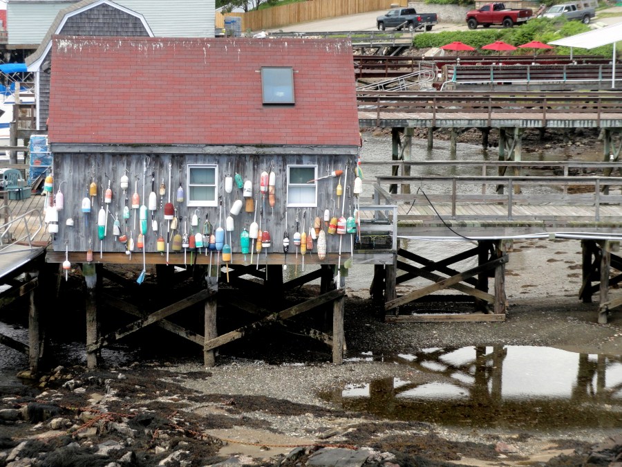
An explanation: the bridge passes over Badger Island (home of the houses with the floats hanging from them) then on to Kittery, a town in Maine. Which is famous for blueberries, and has a lovely Mexican restaurant which serves, as you see, colorful blueberry margaritas where I passed time until my boat – yes, that very same boat seen waiting to pass under the bridge – left for the island. I just loved the colors! And the taste was fine, too…)






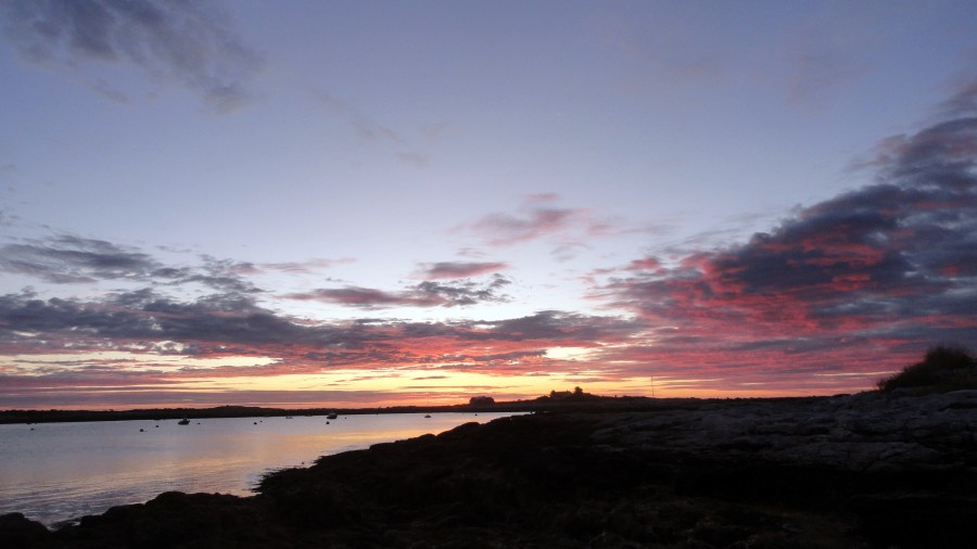
Mountains, Museums & Memories
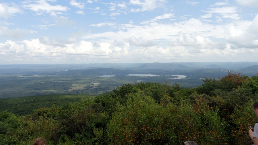
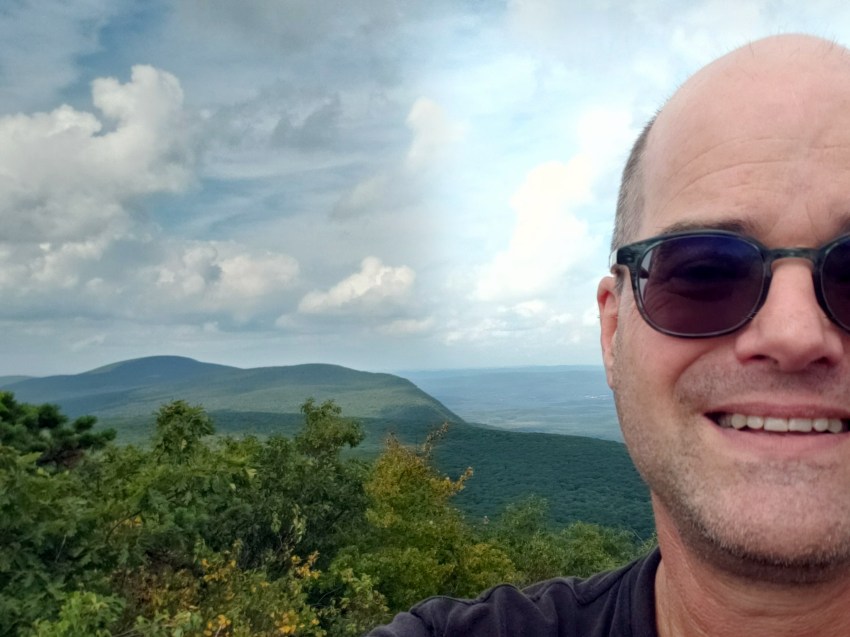
In the northwesternmost corner of Connecticut lies Bear Mountain, the tallest peak in that state. (Note that I don’t say “highest point,” because in fact there’s a higher point in CT but it’s on a mountain whose actual summit is in Massachusetts.) Over the summit of this mountain runs, of course, a section of the Appalachian Trail – which, for those of you perhaps unfamiliar with it, is a magnificent mountainous trail that runs along the spine of the rocky mountains in the coastal eastern states of the US, all the way from Georgia to Maine.
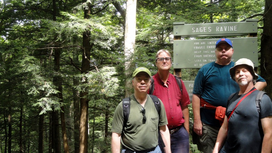
In the 1970s my mother and one of her dearest friends, also a single mother, took us all out on segments of the AT together several weekends a year. On this segment of the AT, called the Sages Ravine segment because of the river at the bottom which forms a natural border of sorts between the CT and MA portions of the trail (and at times, it seems, the actual border between the two states), our two families had a memorable spring hike influenced by late snowmelt and high water. We all survived that hike and went on to many more in the decades to follow. This August we returned in honor of our two mothers, now both sadly gone. Having hiked this before during spring flood season, we found it with our now-more-aged bodies much more enjoyable to hike it when the ravine was NOT flooded and when there was NOT snow on the north side of the mountain. And we did enjoy sharing memories of ourselves and our mothers, then and since.
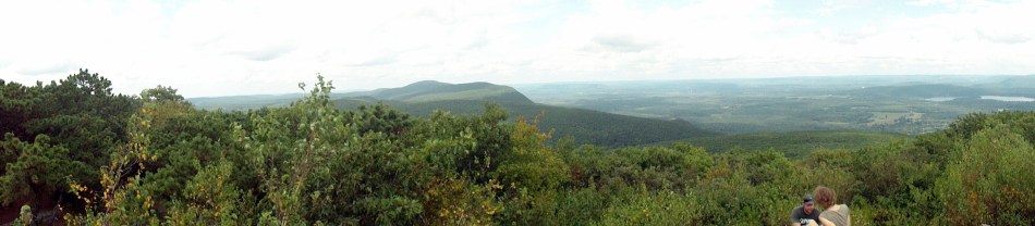



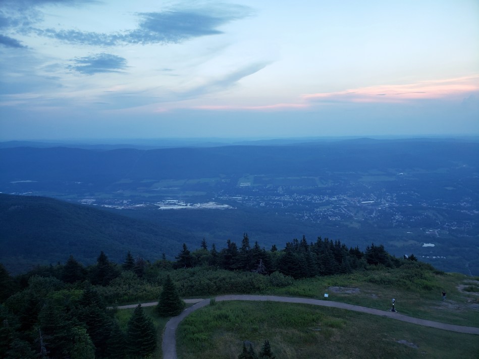



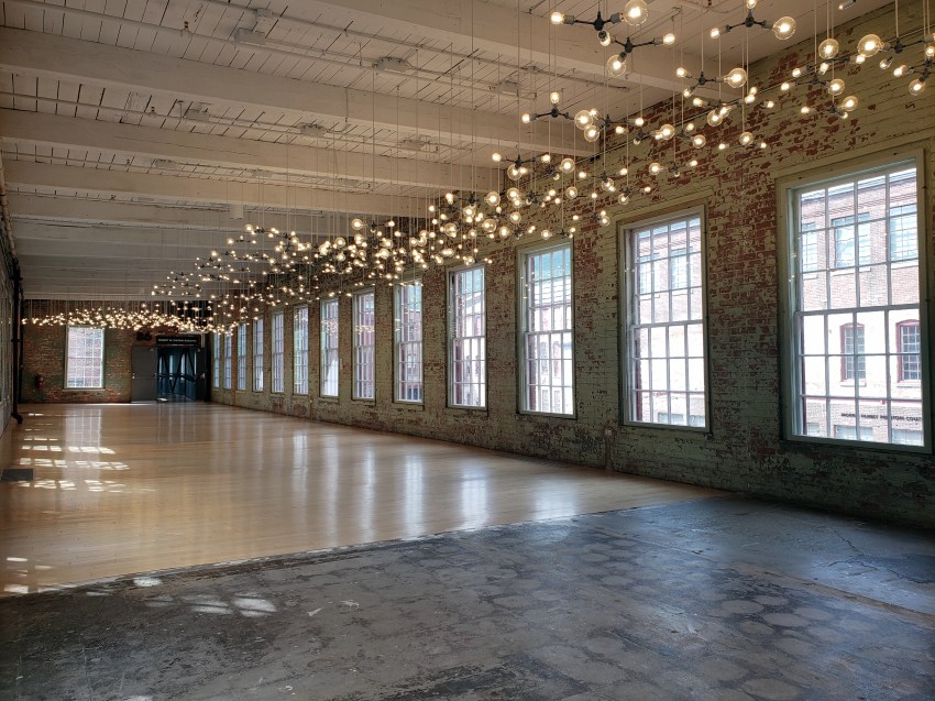
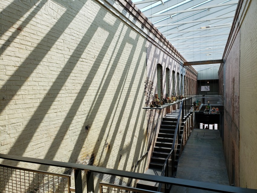
My brother Steve and I then went on to North Adams and Williamstown, Massachusetts. There, we fondly remembered and walked, at least metaphorically, in our mother’s footsteps by visiting the absolutely fantastic Massachusetts Museum of Contemporary Art – which tells us it’s the largest museum of contemporary art in the US. (Many of the most amazing parts weren’t possible to photograph either by rule or because of what they are, like virtual-reality or experiential installations that just can’t be photographed…so what I show is the barest sample.) We also visited Mt Greylock, the highest summit in Massachusetts, at late sunset.
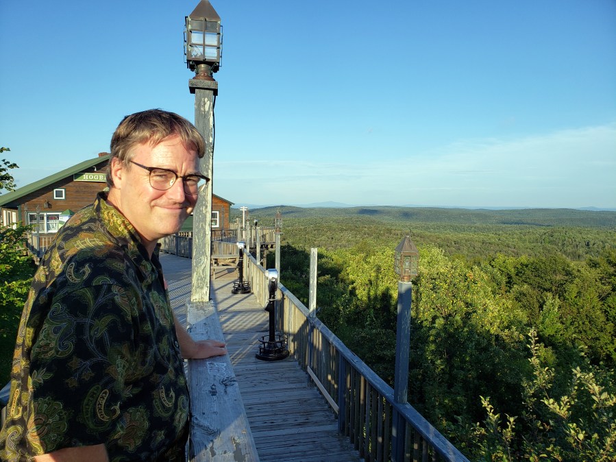
Despite my adopted California snobbery (higher mountains and all, out here, don’t you know…), I was really happy to be reminded how beautiful these green, rocky east coast mountains can be…and how difficult a rocky scrabble up a steep slope can be, even when the summit of that slope may not be all that high in feet above sea level 😊. Though the loss of parents is sad, I found it nourishing to share this time with family and friends who share these memories, as I find it nourishing to go on doing things I know my Mom would enjoy, and to send my thoughts to her when I do so. Hope you enjoy these photos; if you knew my Mom, hope it helps you remember all the great things you shared with her; and if not, that it helps motivate you to share other great things right now with those you care about the most 😊.





Fire & Rain
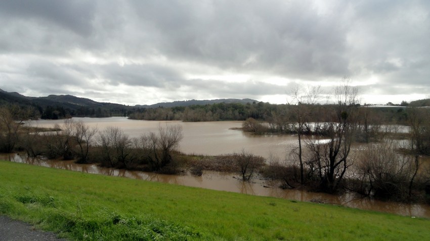
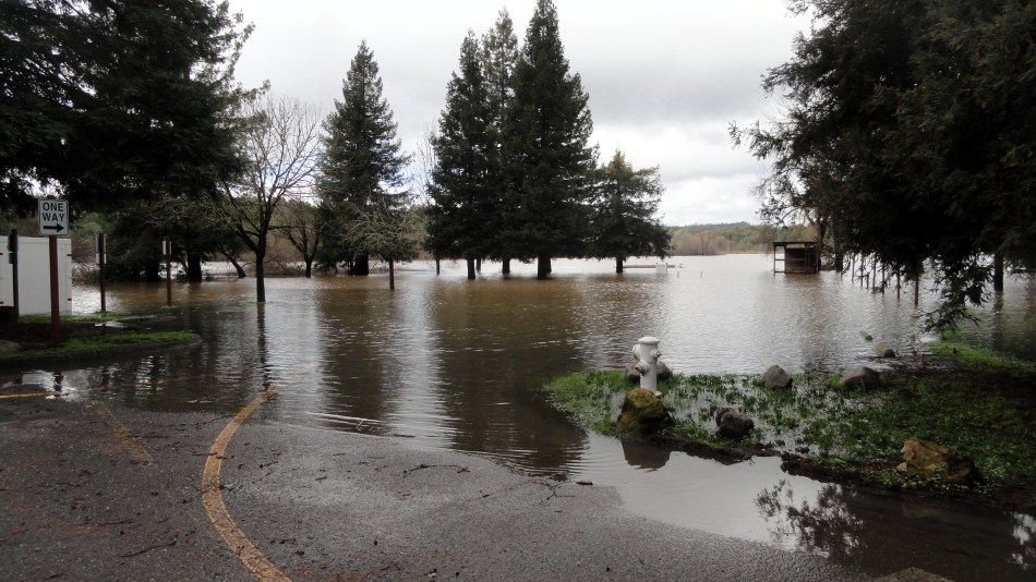
If you know anything about California today, it’s that we’ve had a lot of incredibly devastating wildfires recently. You’re perhaps less aware that we’ve also had floods and the kinds of landslide that result when the forests which stabilize slopes during heavy rain have been destroyed by fire. I could wax lyrical about the need for an evidence-based public policy, but we all know how far that’s going to get us in the current faith-based voter climate of battleground states like the state of my birth, so let’s just do a slide show instead, ok? 😊 When I flew home from Bangladesh suddenly in February, in order to be with Mom and (I thought) help nurse her back to strength through that clinical trial, I was trying to give myself enough time here at home in CA to steady my own nerves through my usual recourse to bike trails and tennis courts, while still spending most of my time in NJ with Mom. Thus, between February and April, I was back and forth a few times.
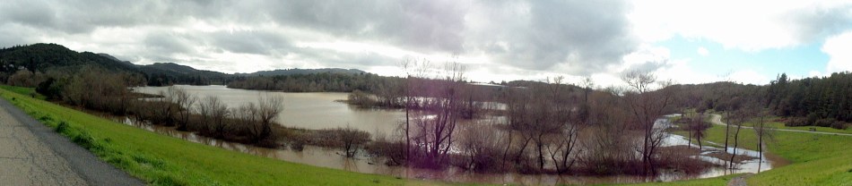
Two years ago I first learned of the big Santa Rosa-area fires when a friend from my local UU congregation called – as I sat in a doctor’s office with Mom – to ask if they could house displaced people in my apartment, since she knew I was away. During my times at home over the intervening two years I’ve tried when possible to keep photos of the natural and human environments I encounter. I’ve watched rains come, trees recover or give up the ghost, rocks recover their envelopes of moss, and I’ve been grateful that the heavy rains haven’t (so far) caused any bad landslides that I know of in my own area.This time, while I was out east, it was more about floods that I learned: one town in my county was reachable only by boat for a couple of days, since the flooded Russian River had risen above all the roads leading to it. And any time there was a long-enough break in the rain for me to hop on the bike and head out, I grabbed camera and/or phone and headed out. Here are the results, below…and after that, some post-fire regrowth and rebuild images as well, which I’ll likely caption and explain when we get to them. Sorry this is a long post…but it’s been a while. Hope you find it interesting.


 And moving on the aspect of more obvious post-fire recovery, I’ve been really amazed at how rapidly the scars on the natural landscape have become less visible. A friend said I should find a specific location to watch, so I found my little “fire-line rock” to follow. I posted a gallery last year, showing photos taken over the first twelve months, as the visible burn line on its moss vanished; I also watched the trail uphill from where this rock grows, as the meadows lost their cover of charcoal and trees either regrew or gave up and died. After this text, you will see first a video taken after one of the rainy days earlier, about 2km or 1.5 miles downhill from the fire line rock. After that I’ve copied the same gallery from last October, with the addition of some new photos taken two weeks ago, so 21 months or so after the rock sat on the burning fire line. I can’t even tell which rock it is, any more – did the winters incredibly heavy rains move the rocks or have they just all gone back to their natural dry-season similarity? Not sure…and didn’t get up there when it was wetter, precisely because it was so wet and muddy :-). After that are some other post-fire shots both close up and farther away. Right now, in dry season especially, I have to look closely to see the charring on tree trunks that have already begun to regrow…


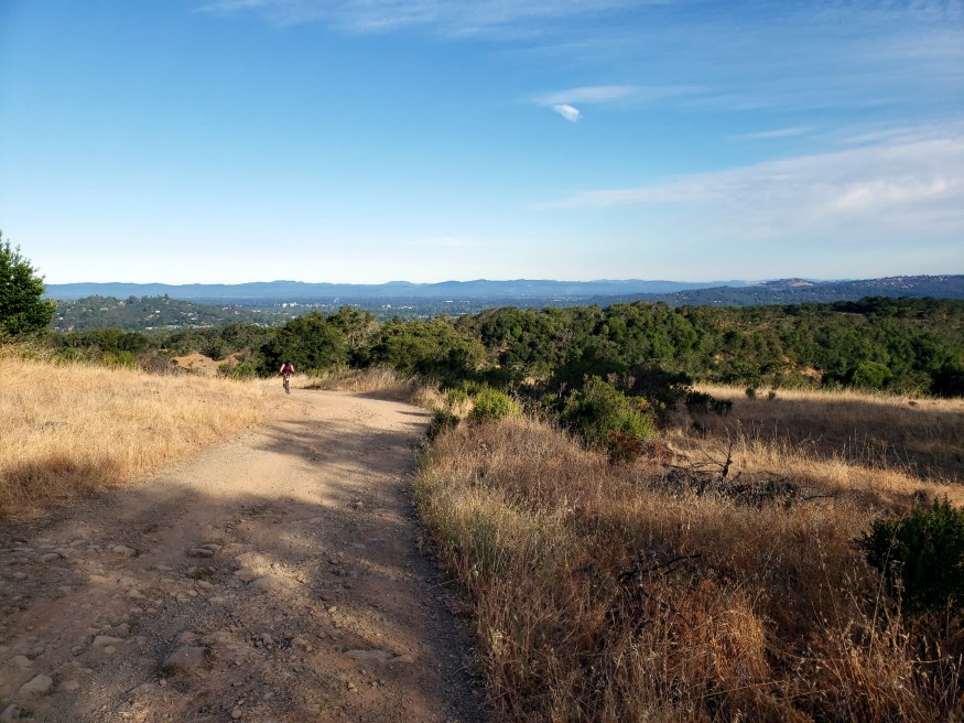
In the photo just above we are looking west on the Canyon Trail, which was the fireline when the Nuns fire was stopped before it had a chance to merge with the Tubbs fire, in November 2017. The meadow to the left of the trail burned; to the right, it didn’t. If curious, you can look at photos taken on a hike shortly after this part of the park was reopened, and compare things then and now, in this post from that time: https://somuchworldsolittletime.com/2017/11/13/walking-the-fire-line-in-annadel/


NYC & NJ In Winter & Spring
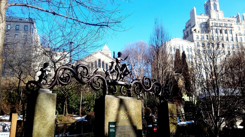
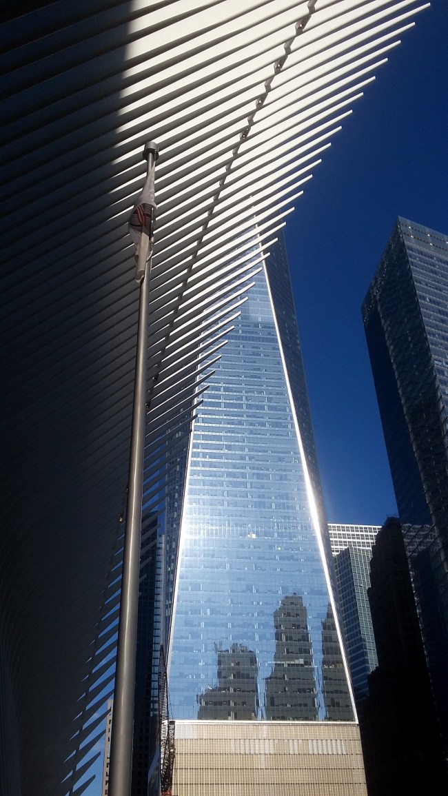
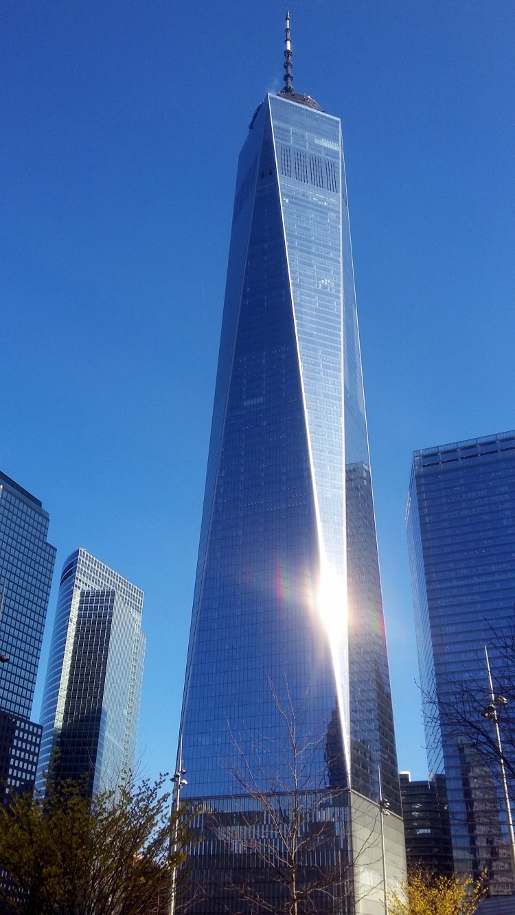
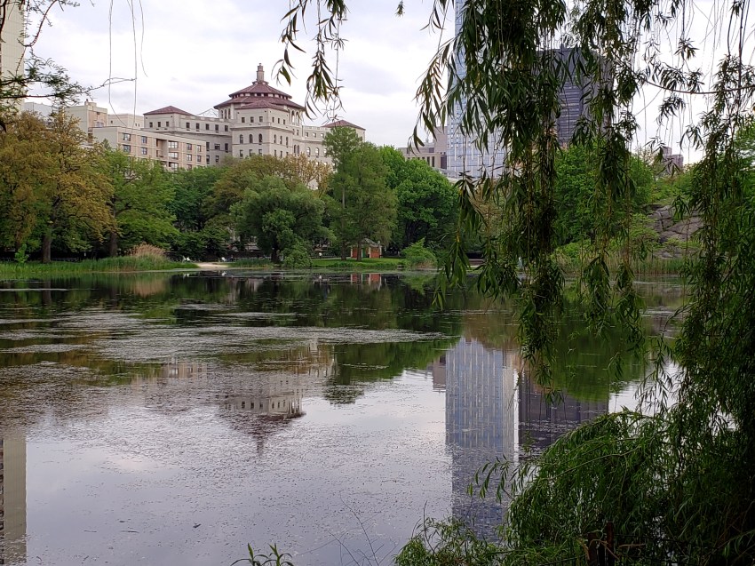
Every photo in this post was taken between March and May, in NYC or the area in northern New Jersey which my mother called home for the last forty-five years. Having returned early from my work in Bangladesh in order to be with Mom, I’ve now seen this part of the US through a cold, snowy late winter and into a wet, green spring. Between trips around various parts of the city for medical appointments with Mom or meetings with friends and colleagues, I’ve been around much of Manhattan and northern NJ when the trees were bare and snow was on the ground, through the first blooming of snow-bells and forsythia, to this past week of alternating thunderstorms and clear skies with brilliantly green trees and now the irises starting to pop out. Before leaving this area for more or less the last time after clearing out Mom’s house, it seemed fitting to do a final ode to the sights and seasons of a region that I myself have also called either first or second home since Mom brought us here during the Ford administration…






NY Harbor to SF Bay in a Day


So last week I flew home to the bay area after a month with family in the NY/NJ region. I always love flying into SF from NYC: the route very frequently goes more or less directly over my home town of Santa Rosa, then cuts down along the beautiful coastline in Sonoma & Marin counties, more or less directly over the Golden Gate Bridge and then in some manner or other executes a circle in order to line up for landing at SFO. These photos were all taken in the space of one day when I’d returned from my assignment to Central African Republic last year. I landed late at night at JFK, woke up near the NYC office for my debrief meetings and a bit of a presentation to the office team, then hopped directly on trains to the plane for the flight. Since it was a clear day on both coasts, I got morning photos from a walk along the shore at Battery Park & views of the Statue of Liberty; then took photos of Santa Rosa from above, Point Reyes, San Jose & silicon valley at dusk, and the coast south of SF as the plane began its circle toward San Jose then back up to land. Air travel remains a gift which I enjoy on days when the view out the window is so spectacular, even if the in-airport experience long since stopped having any pleasant elements whatsoever :-). Enjoy!
Selections from the Air


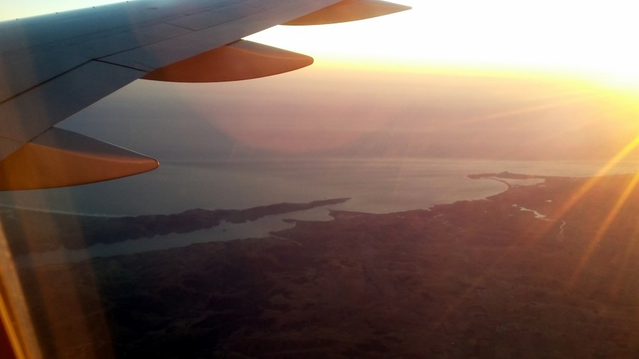
You probably know I fly a fair bit, and I’m one of those people who stare out the window of the airplane if there’s daylight. I don’t suppose I’m truly claustrophobic in the classic sense, and I do just fine even in a middle seat if I need to (then I do escape into headphones and the in-set tv screen or i-pad), but I certainly enjoy flying much more when I can look out the window and enjoy the magic of seeing the earth from a different angle. Here’s a selection of photos from three flights I took over the past year – each photo has a name that explains what it is, more or less. Hope you find the aerial views as intriguing or enlightening as I do. And happy thanksgiving weekend, if you’re in the US. 🙂


Autumn Leaves, Snowy Trees & Old Friends
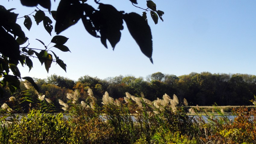 I’m in Bangladesh, doing the kind of work I love – planning to stay for quite a few more months if possible. Even as work occupies and inspires me here, many things draw my thoughts home as well. Next week is Thanksgiving, the most family-oriented of our US holidays — and I’m rather sad to be away yet again on this holiday, even if my vegetarian-ness means the traditional main course doesn’t float my boat. 🙂 My mother expects to start a new treatment the following week. And back home in California, many more lives have been lost and communities harmed by another record-breaking wildfire.
Plus, I already missed Halloween and the joy of watching kids go sugar-crazy… So I’ve sorted through photos I took during the autumn and winter seasons last year, when I was able to spend much good holiday and other time with my family and my friends on both coasts back home. These photos were all taken in NYC and NJ last year in October – December…aside from a few from CT in May 2017, a paean to a loved mentor and friend now gone. Andrew & Tom, I hope you don’t mind…or anyone else. (Tell me and I’ll take photos out if you wish.) Fond memories for me, and I hope you. Much love to you all, this holiday week. Peace, health, human dignity.




Natural, Cultural & Historic Sites of NJ
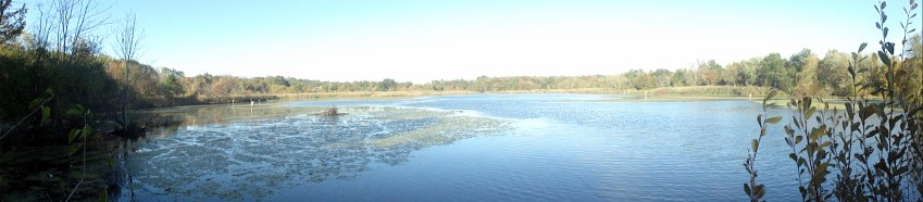
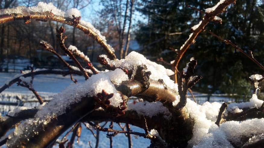
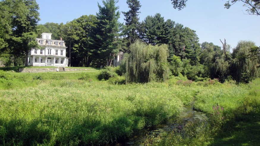
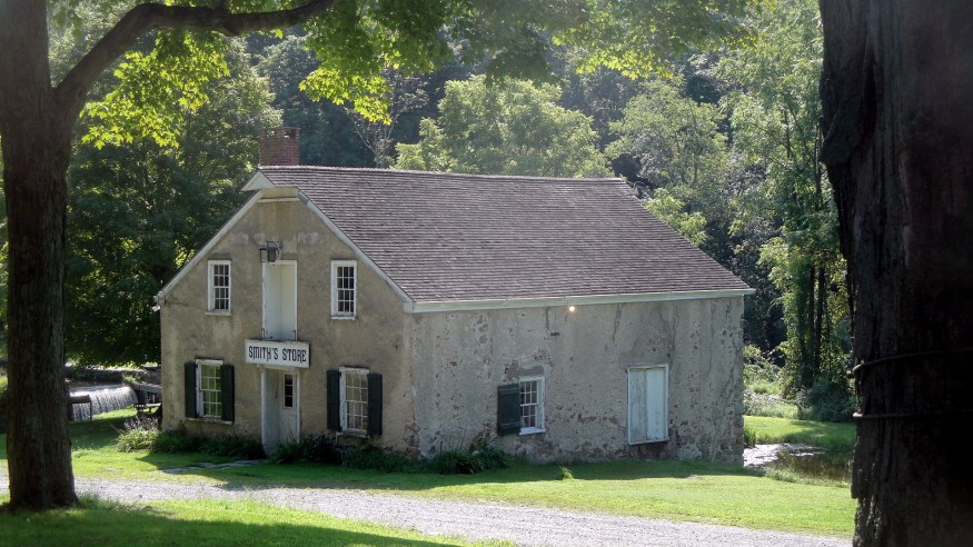
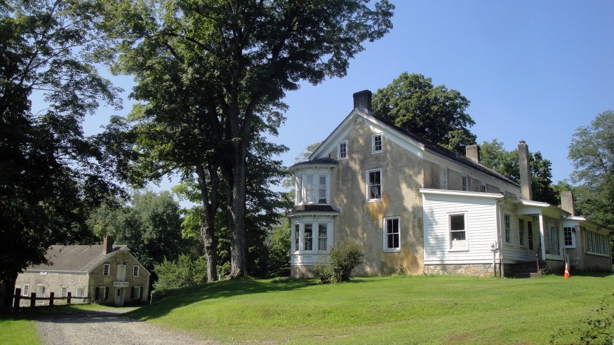
 Honestly? These photos are for my own enjoyment as much as anything else. I’m now back at work in a location halfway around the world (Bangladesh) from where my Mom, brothers, most friends & family are. But these photos remind me of lovely summer jaunts with Mom and anyone else who’s around to join us. Mom’s facing some health concerns, which of course means that my own heart is tugged between the work I love so much here, and the people I love so much there. I will choose to take comfort in these photos and the fact that I’d far prefer to be tugged between things I love, than between things or people I don’t love, and/or who don’t love me :-). The photos’ names should all say what they are: visits to three lovely locations in northern NJ based on Mom’s expression of interest in exploring: a Stickley home and museum, a historic village along a canal with (at the time) revolutionary technology, and an arboretum.






Sonoma County in Video
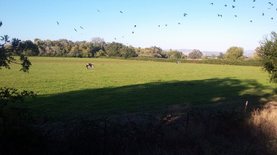
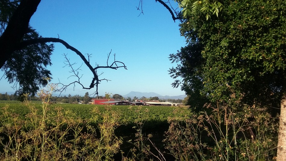 Since I don’t usually have much bandwidth when I’m on field assignments, I never adopted video. Recently, when spending more time at home, I’ve been taking more short videos to show friends a different angle of how I occupy my time when I’m at home here in Santa Rosa. For example: the photo above, taken from the Santa Rosa Creek Bike Trail, was taken about the same place the video below, which shows an egret fishing in the creek. And you can see me biking up and down the trails a bit, courtesy of another biker who agreed to do the video. There’s also a video of an evening street fair with its band, last December…and rain dripping down the bark of a tree as I walked my neighborhood one rainy day last year after my surgery. Hope you enjoy :-).
Vistas, Bridges & Buildings by the Bay
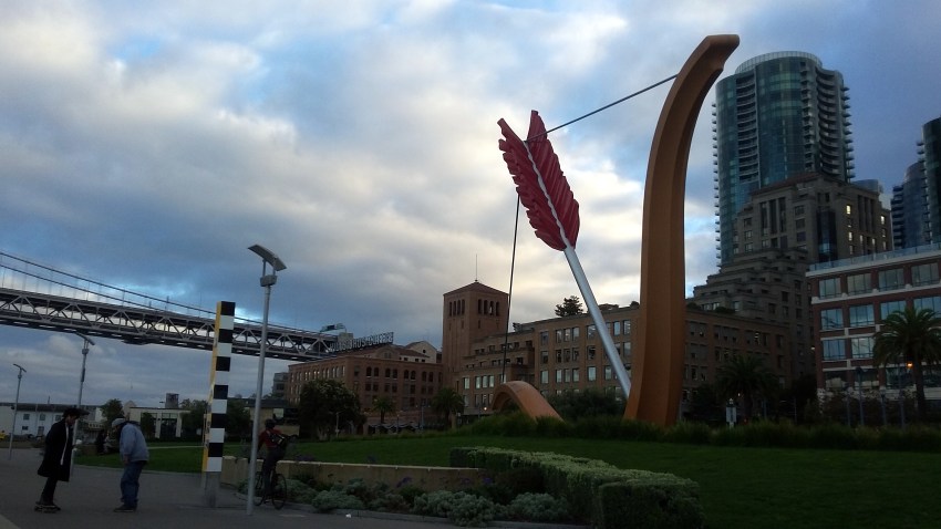
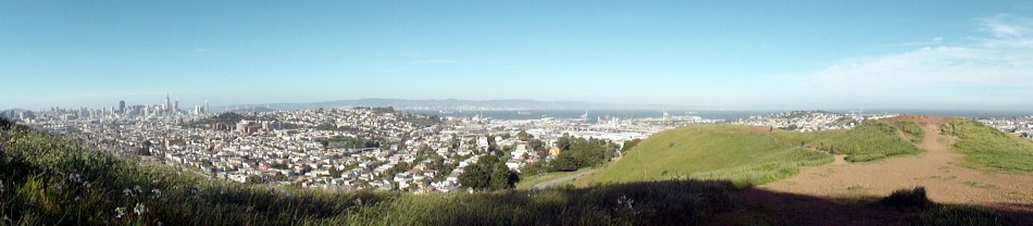
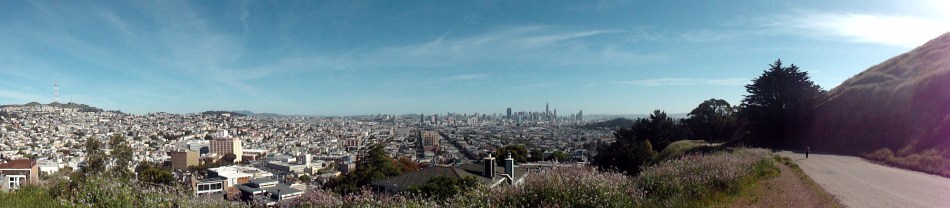
 Each of us resonates particularly to some kinds of beauty more than others. I’m naturally drawn more to wilderness and natural areas than to cities, as you can probably tell by all the natural-world photos that occupy these pages. But I do find the combination of hills and abundant water, with densely-packed urban centers featuring tall buildings and dramatic bridges, interesting architectural features and urban parks quite compelling. San Francisco has all of the above in abundance. Now that each of my assignments begins and ends with flights from and to SFO — now that each trip back to my own home involves crossing the Golden Gate Bridge and seeing many of the views you see here — I find myself collecting photos two or four at a time, whenever I visit the city for a concert or lunch with a friend or just a trip to or from the airport. This post is full of my miscellaneous photos taken in such trips over the past year or so. As I prepare to head out for another assignment far away, some photos of my home region to enjoy while I’m away. 🙂 If you’re curious what’s shown in any of the photos, by and large they will have names that are descriptive.
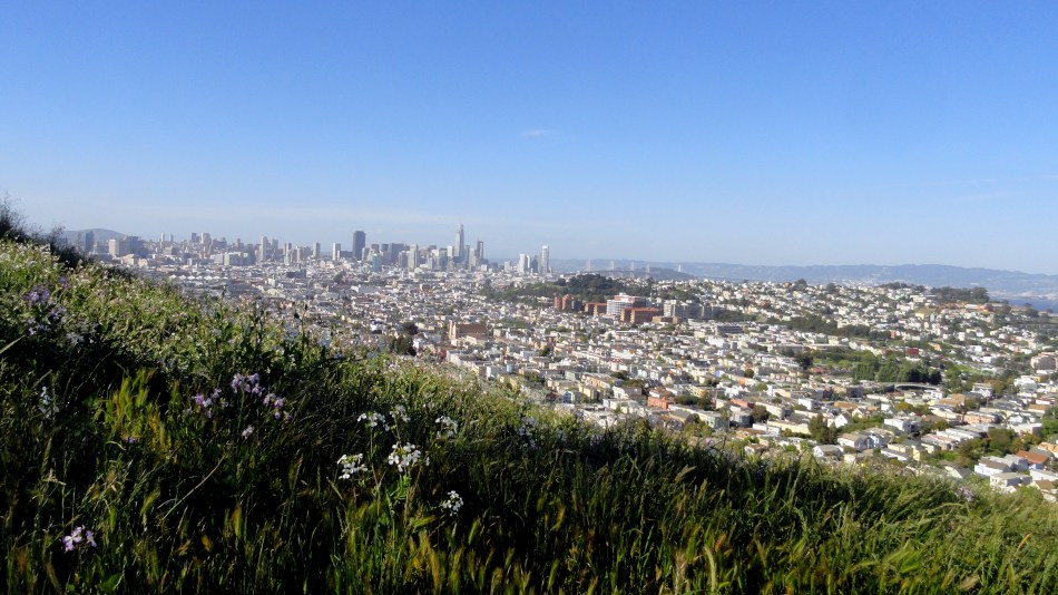
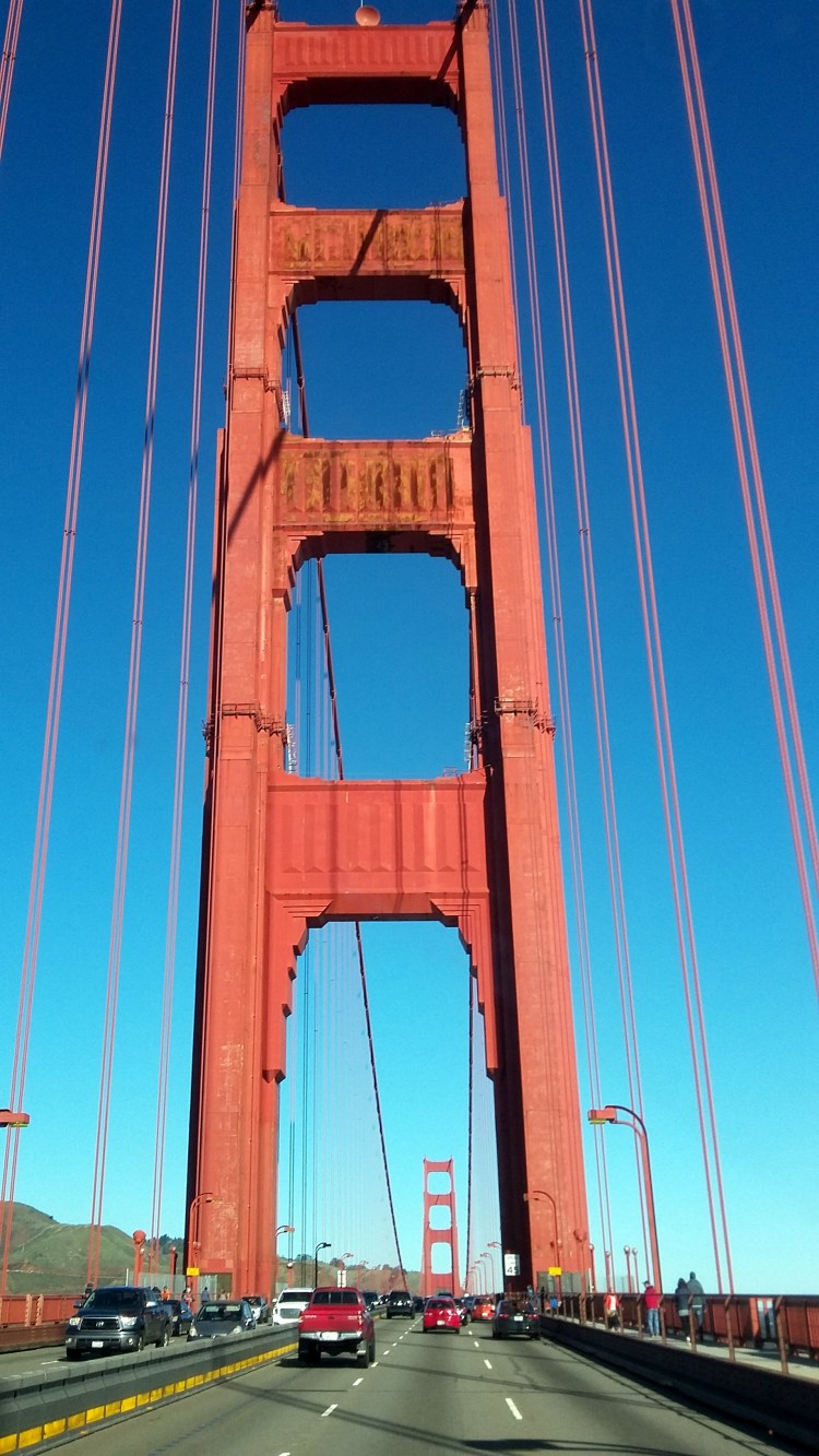



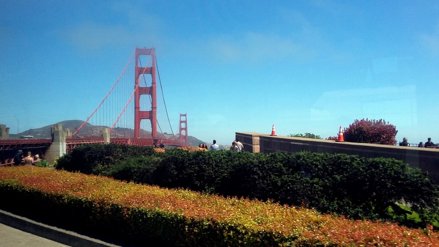
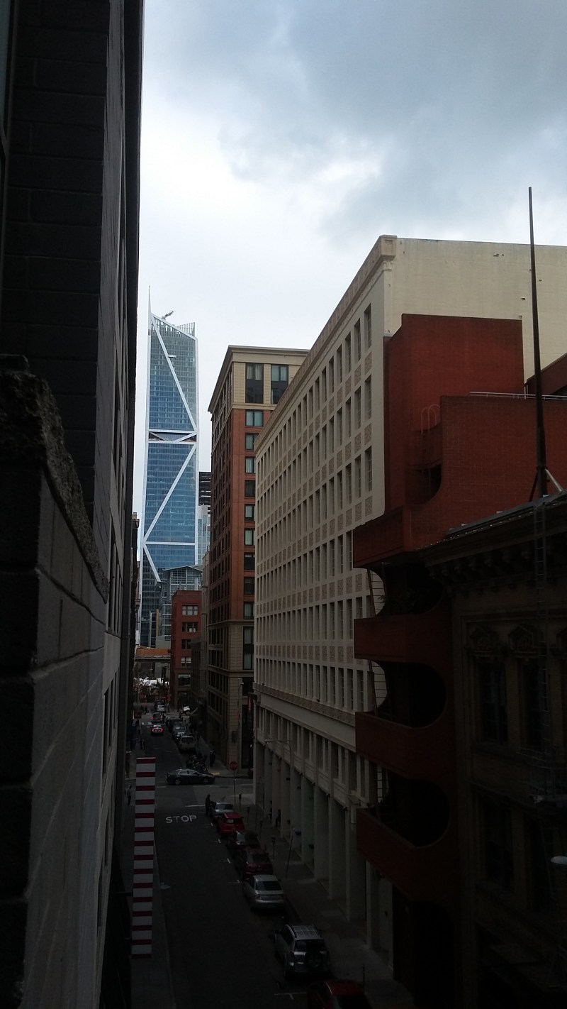


Last Year’s Fire Line
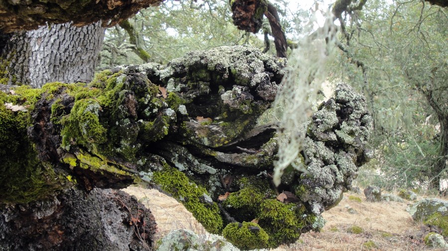
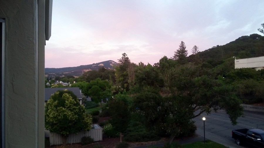
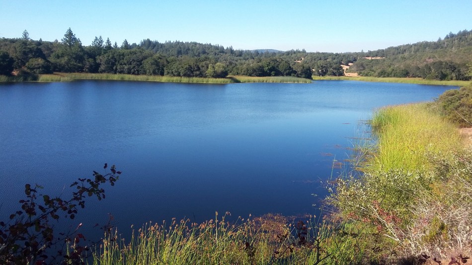
 For many reasons I’ve been thinking about balance lately. Health and illness, birth and death, creation and destruction. My personal friends know I’ve had a fairly serious illness myself this past month, coupled with some fairly significant health issues affecting close family as well. And here we are nearly upon the one-year anniversary of the first outbreak of deadly wildfire which destroyed so many homes in my own community of Santa Rosa just a year ago. Recovering my own physical health at first involved avoiding much physical exercise, and now involves steadily allowing my stamina to build back. One way I’ve done that is to go hiking again in our local state park, where a second wildfire, coming from the south of Santa Rosa instead of the north of Santa Rosa, also destroyed many homes and lives at nearly the same time. Our rainy season here usually begins some time in October: last year, the first rains came later in the month. This year, we had an inch of rain last week and this allowed the moss to green up again on a stone I’ve been watching and photographing since the first time my normal trail in the park was reopened three weeks after last year’s Nunns fire was declared controlled. That stone is shown in the gallery below, with the most recent photo first and working backward. Date of the photo is indicated in format yymmdd, if you’re curious.
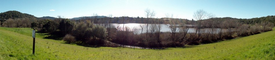
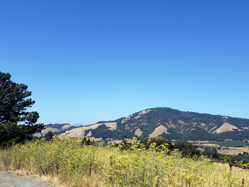
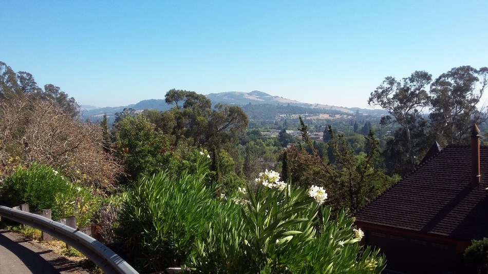
With a good friend I also drove up and over the hills to the north — hills from which this panorama shot just below, which looks south,was taken — there’s a major road across the mountains there along which many homes and businesses were destroyed in this week last year. There is some rebuilding happening and many lots cleared and seemingly prepped for rebuilding — just as a small tree in the second gallery, which last year was burned, is putting out a second season of new leaves now. You might need to enlarge some of the gallery photos to even see the burned parts lower down: the scars all across our landscape are already fading compared to what they were a year ago, though the vacant lots remain quite visible and the scars in the community and landscapre are certainly real. I feel fortunate to live in a community which came together in mutual support when faced with such challenge and destruction. I hope our human family more broadly will find constructive and healing ways to bridge our sometimes seemingly unbridgeable divides, on a larger scale and for a longer time. Balance, moderation, and an honest acquaintance with global realities seem quite necessary for longer-term health and survival of our planet and species, from what I’ve seen and experienced around this beautiful complicated world we all call home. Peace – health – balance.




Upstate in Autumn
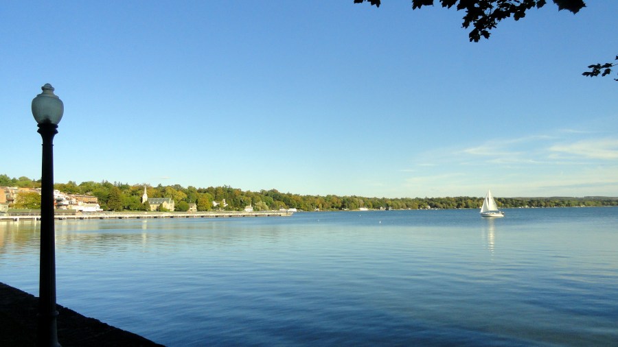

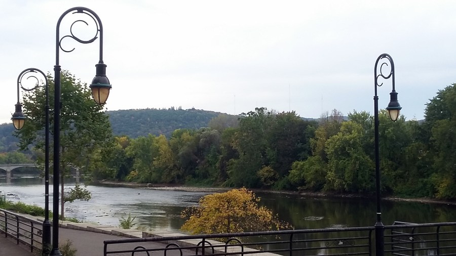
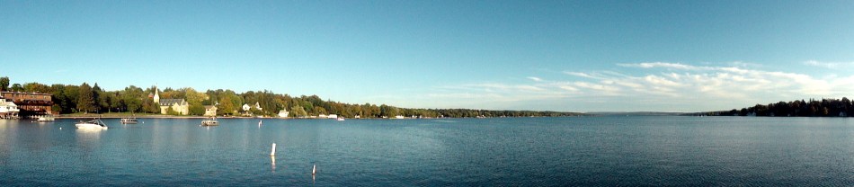
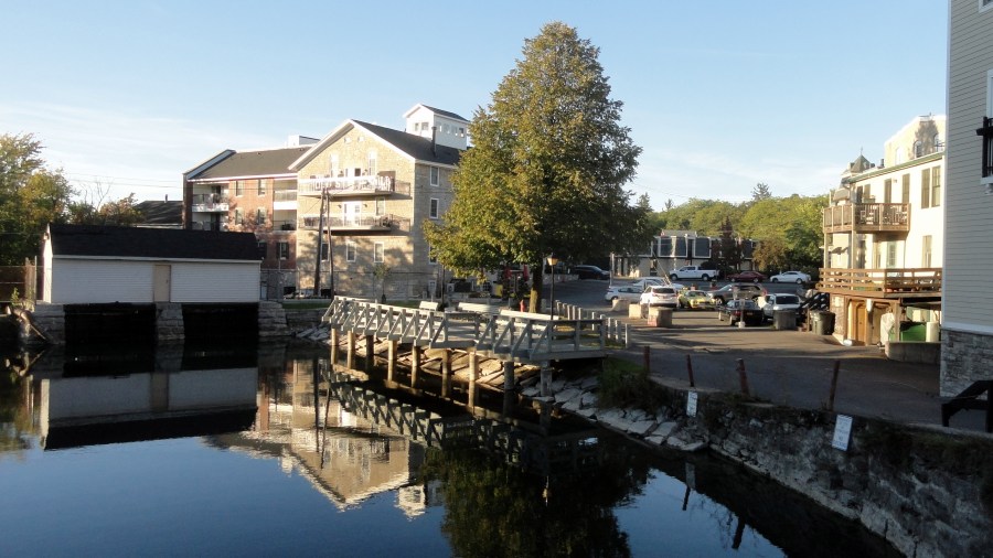
First, full disclosure that these photos were all taken in the autumn last year, not this year. 🙂 Since I didn’t post them right away last year — too busy with family and personal health stuff, plus chronicling the fires around my home out west — I decided I’d post them as the autumn months returned, this year. In this post are many photos taken in and around Syracuse and Skaneateles, in the northern region of New York State known as the “Finger Lakes.” You’ll also see a few photos taken as I walked around Binghamton, in central-southern New York State at the confluence of the Susquehanna River with its lesser-known tributary, the Chenango. I imagine Binghamton was an important manufacturing town and transit hub in earlier eras, although I admit I do not know its history in any detail. I went to Syracuse for an excellent seminar at Syracuse University’s Maxwell School; and I passed through Binghamton with extra time awaiting a connection, during the bus journey from Syracuse back to visit my mom in Northern New Jersey. It’s certainly true that Syracuse is a lovely city whose past – a key city on the all-important (in the 1800s) Erie Canal – was more economically robust than its present. Those seeking explanations to my homeland’s current highly-divided political climate might well find some explanations in such towns as these, and the changes in economic models represented by a former Erie-Canal hub town as compared to, say, Silicon Valley where there are many ideas but very little actual manufacturing. For what it’s worth.
You’ll notice I was particularly taken with vistas of lovely Lake Skaneateles and the village of the same name, situated at the northern end of this long beautiful “finger lake.” Enjoy!
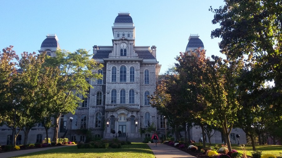





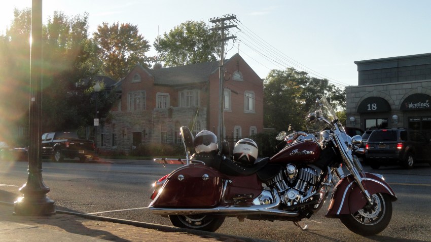
From Sea to Sierra (SFO->EWR)

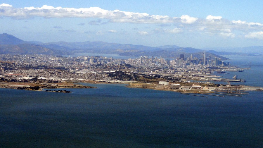
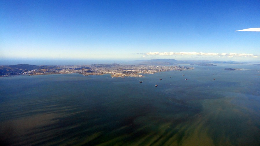
If you haven’t been to the San Francisco Bay Area yourself, and if you wonder why I’m always so happy to get home to it; or why visitors to SF and the bay area so often rave about it — a good place to start is to take in the photo just above. I’m still working my way through photos I took last year, before I headed over to Bangui, where I’ve been now for more than two months. I shot all of the photos in this post during a take-off from SFO en route to EWR last year, in May — but what I’m posting are just photos from the bay area and up til the time we reached the still snow-covered Sierra Nevadas. Since it was nearly a year ago, and this year hasn’t seen as much snow — just remember: it’s last year! Enjoy!



Consolation of the Arts: In Oakland for an Exhibition


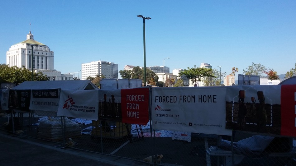
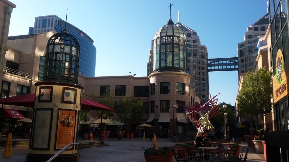 In November, I had the great pleasure of participating as a tour guide in the Forced From Home exhibit, which in 2017 toured five different cities in the west. This provided me with a chance not only to explore a few corners of Oakland more thoroughly than past visits, but also to meet a bunch of other MSF colleagues whom I’d probably never meet otherwise, unless we happened to be in the same mission at the same time. (Which was not the case for any of the interesting and fun fellow tour-guides I met during this stop on the tour.) The exhibit itself happened just across the street from Lake Merritt, right behind the beautiful Oakland Civic Auditorium aka Henry Kaiser Auditorium. The building itself has been closed for structural reasons for more than a decade – but the outside is still beautiful.



But the most important thing the tour gave me was a chance to share a more realistic taste of what life is like for many of the patients and communities we work with, than I can do just speaking in front of a classroom or to friends when I get home from an assignment. I’m always looking for ways to capture what’s similar and what’s different, between the wealth of most US communities and what’s normal for so many people where I work. People who grew up where and when I grew up take so very much for granted that they often seem to actually believe it’s a hardship to not be able to get the next release of an i-phone the day it comes out. (I know poverty is present in the US – but even the poorest states and towns will still usually have paved roads in the town center, a public electricity grid that’s very stable by global standards, a municipal water supply, local and national governments with sufficient income to maintain a fairly reasonable level of civil order, and so on.) In any case, I spent about 10 days sharing stories and examples of what displaced people all around the world might face – and it was an honor and a pleasure. It’s interesting to sort and look back at these photos and remember the questions my tour visitors asked, now that I’m back at work in a country with something like 25% of its citizens displaced from their homes due to violence.


I’ll let the photos, of the civic center and the tour, of downtown Oakland and Lake Merritt in all their glory, speak for themselves. (Do read the titles on the small photos from the auditorium, above – you’ll find how I titled this post.) And I’ll share three public links, the first about this year’s plans for the Forced From Home tour (it’s well worth a visit if it stops near you), the second an article about the exhibit which quotes me, and the third a recent public statement relating to the work I’m doing at the moment, to keep things in context. As you know I can’t really talk about the current work on this personal blog…but public statements are public statements.
http://www.forcedfromhome.com/about/
https://www.sfchronicle.com/news/article/Immersive-exhibition-on-the-plight-of-refugees-12327880.php