Latest
County Views.144


Small Wonders.244

City Views.234
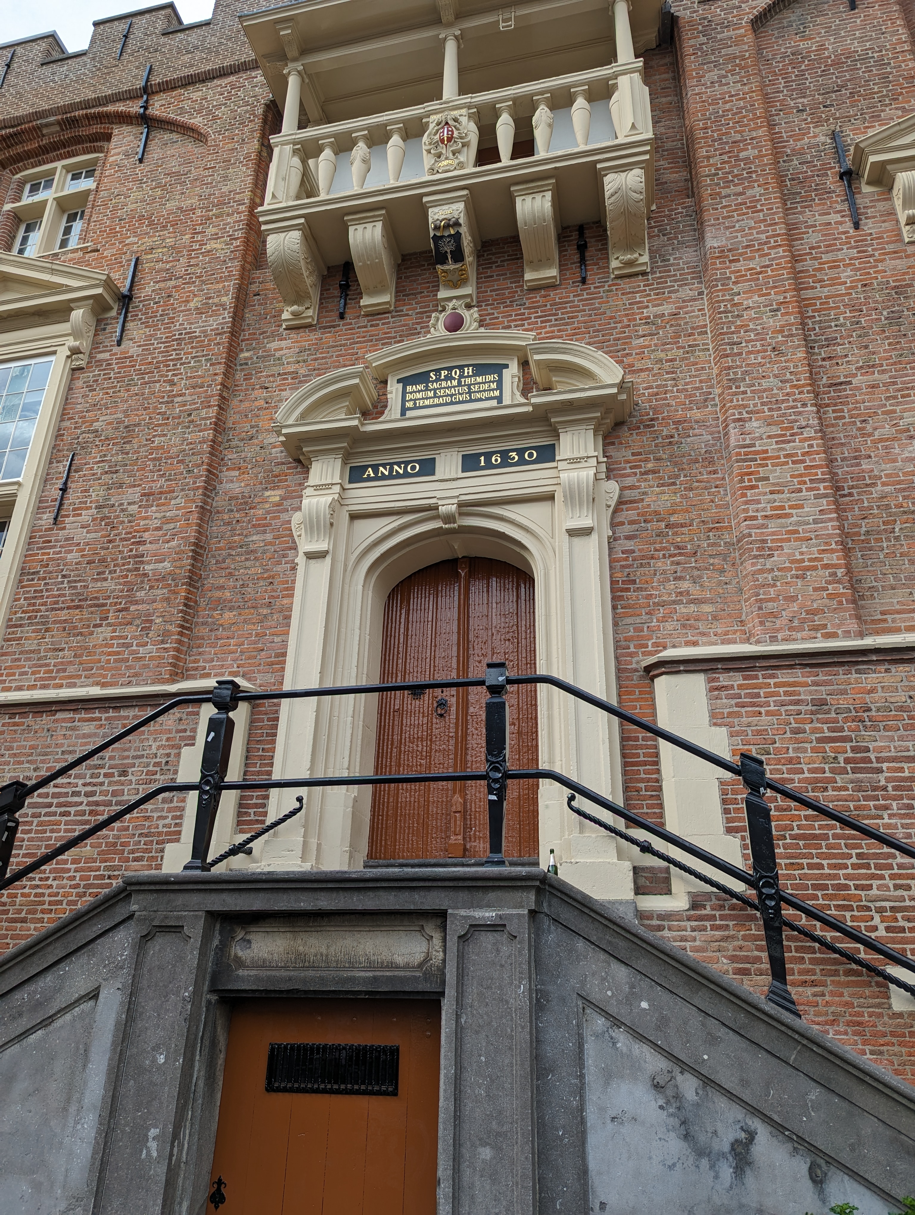
My recent post from the royal palace in A’dam caused cousin & occasional guest contributor Sam to point out that he’d seen plenty of SPQ “x” signs all over during his visit last year. Herewith two examples he sent, one from Haarlem (left), the other from Amsterdam. Thanks for the sharp eyes, Sam 🙂
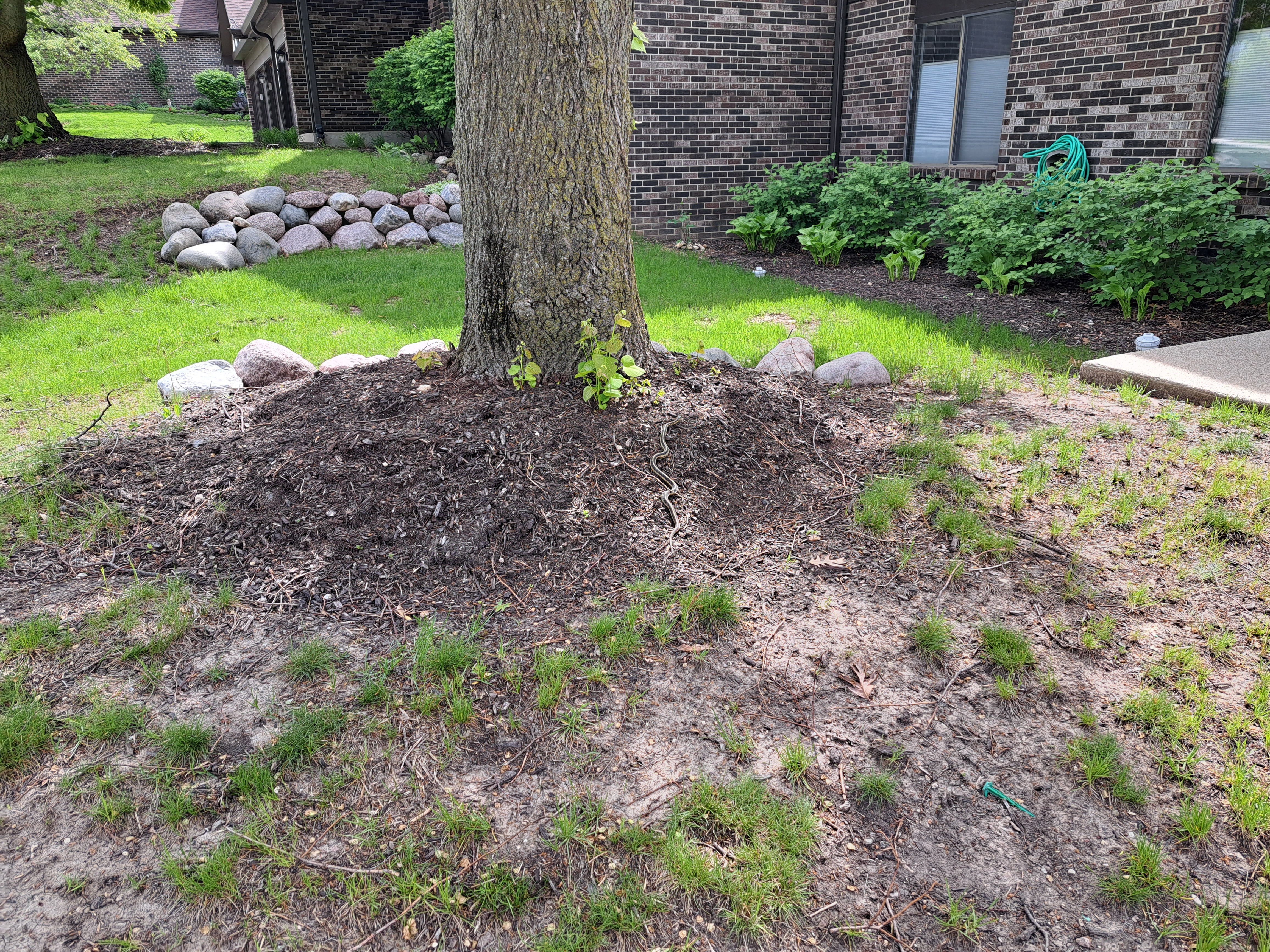
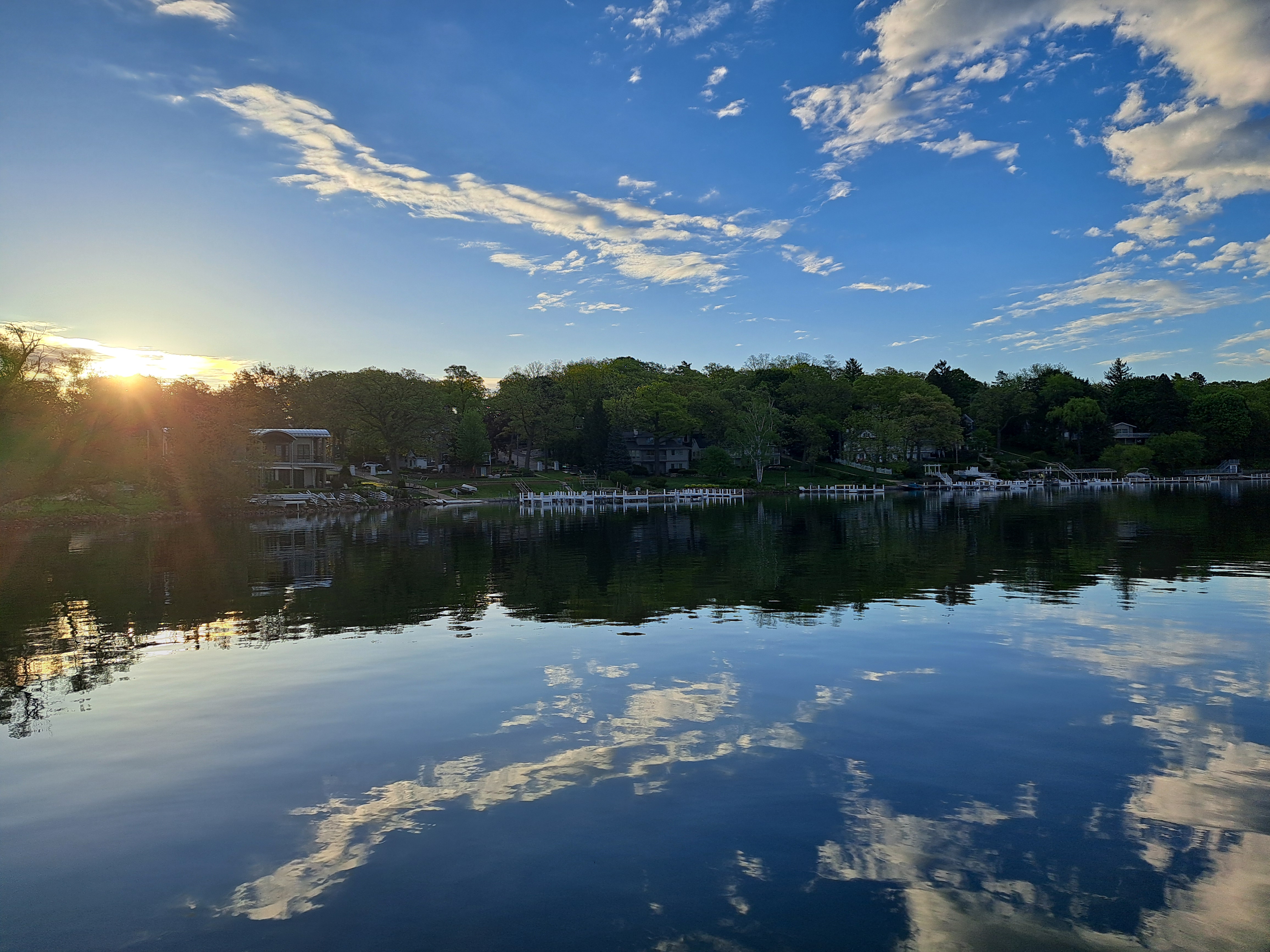
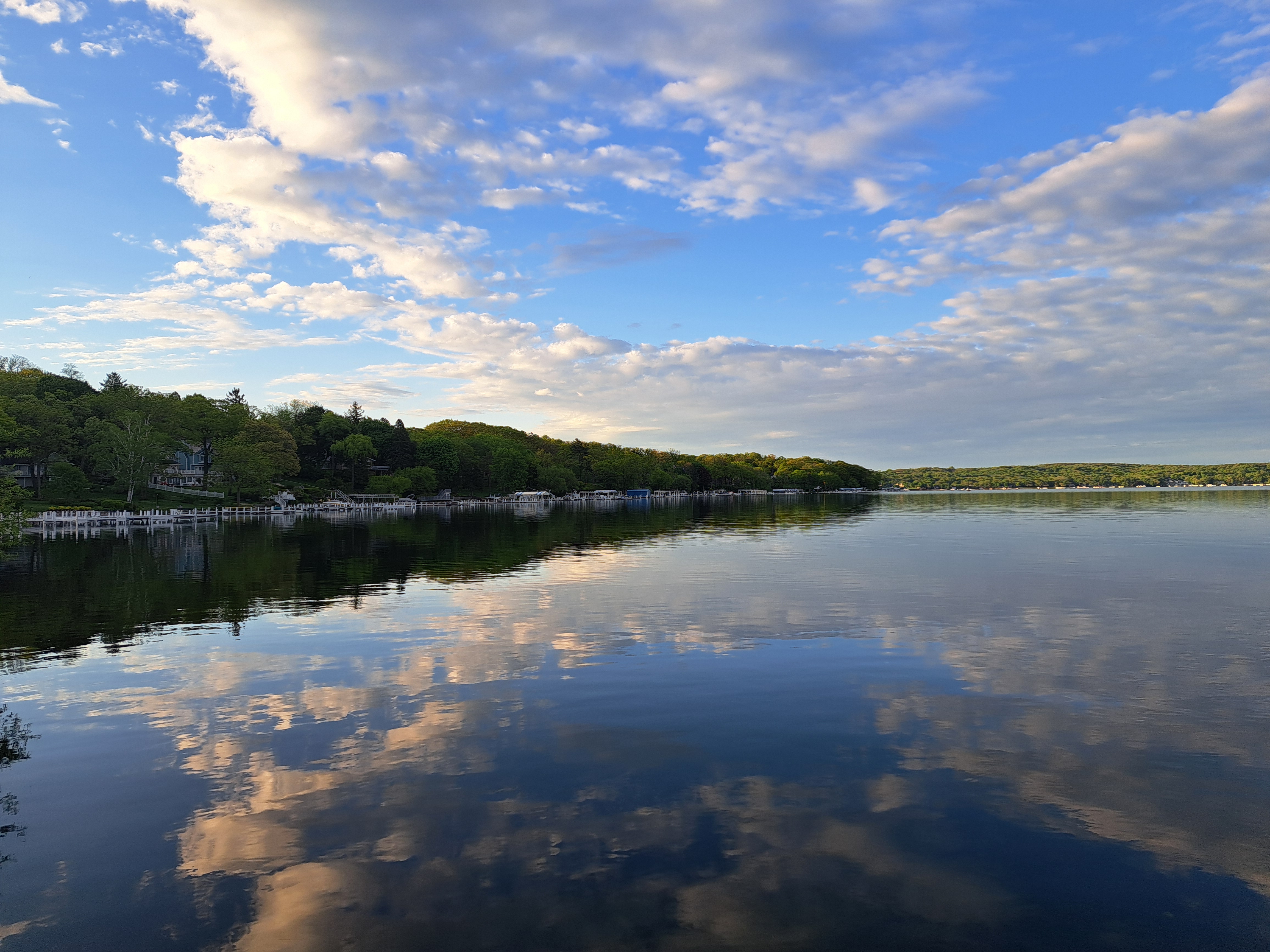
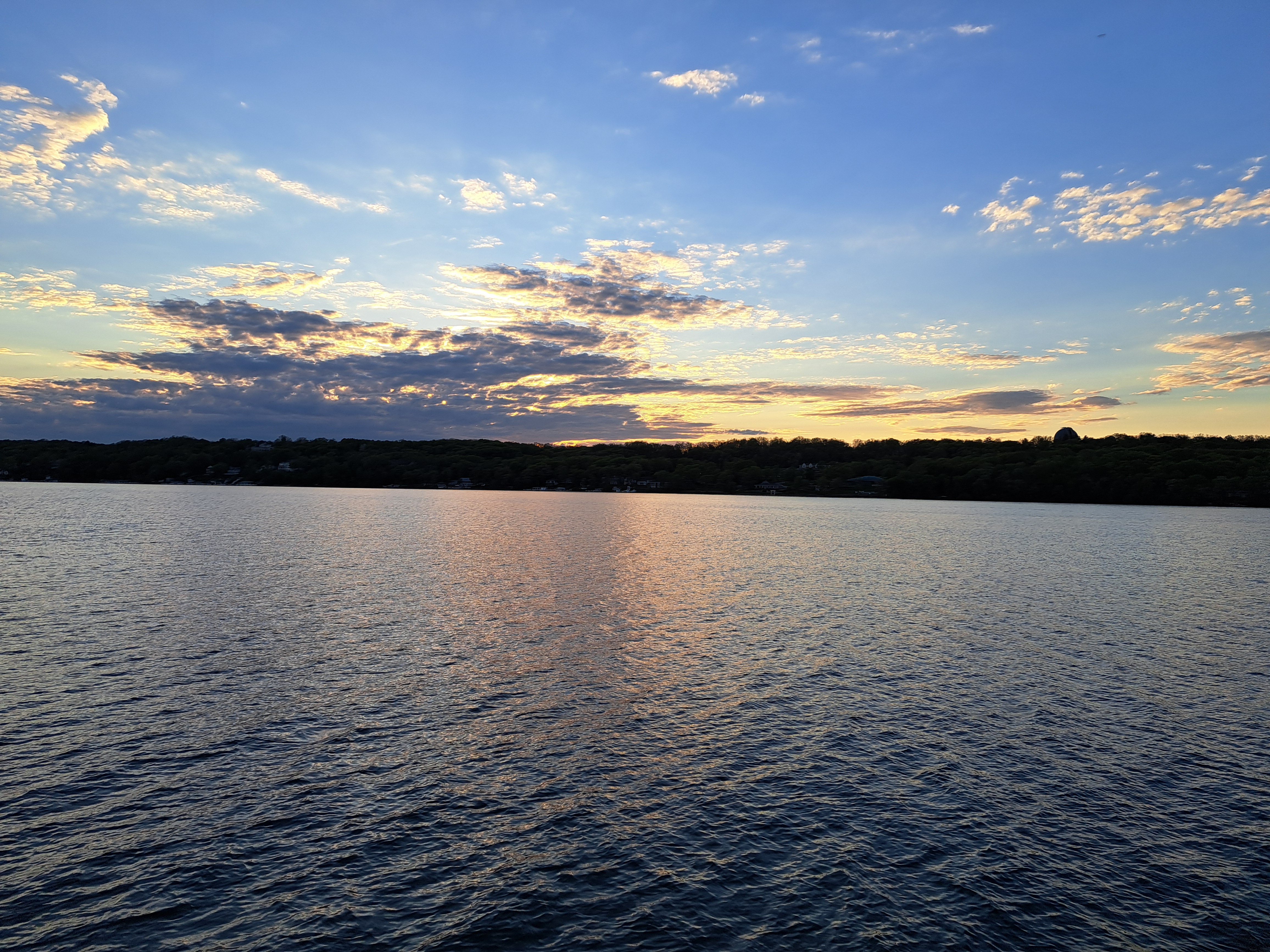
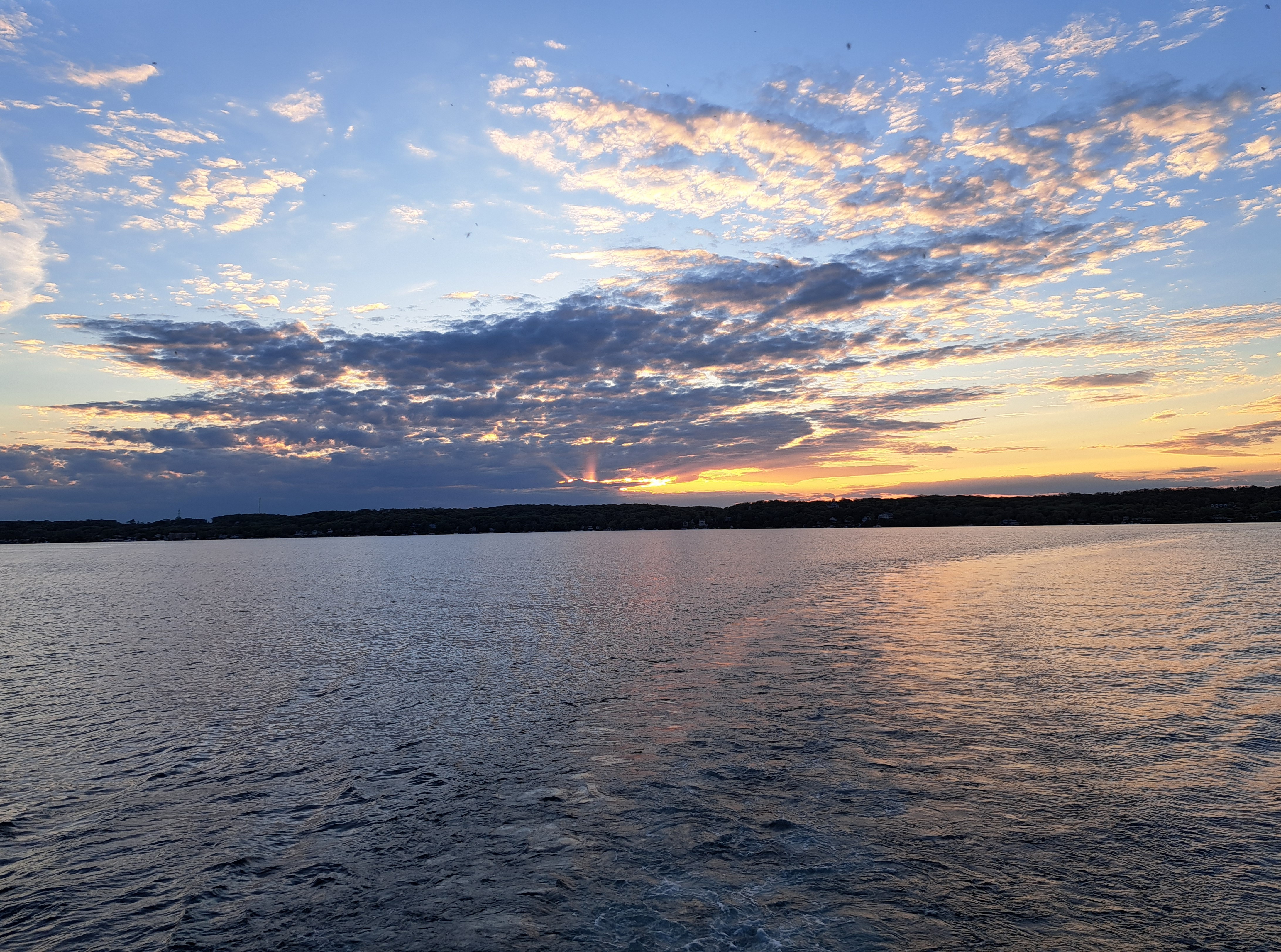
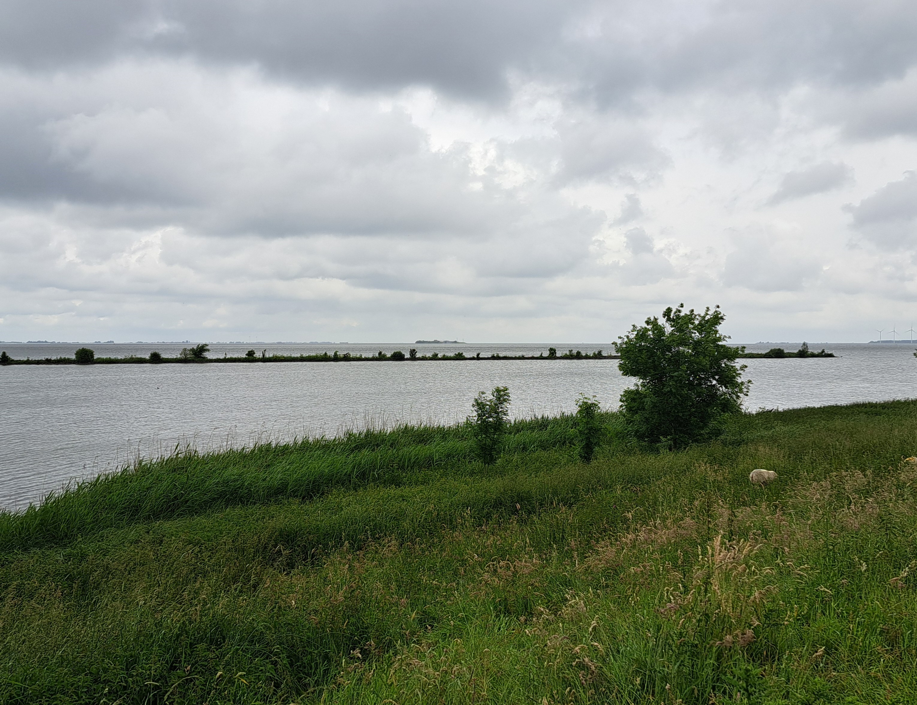
Lake Living.34

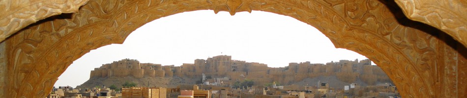
Ah, Royalty.34

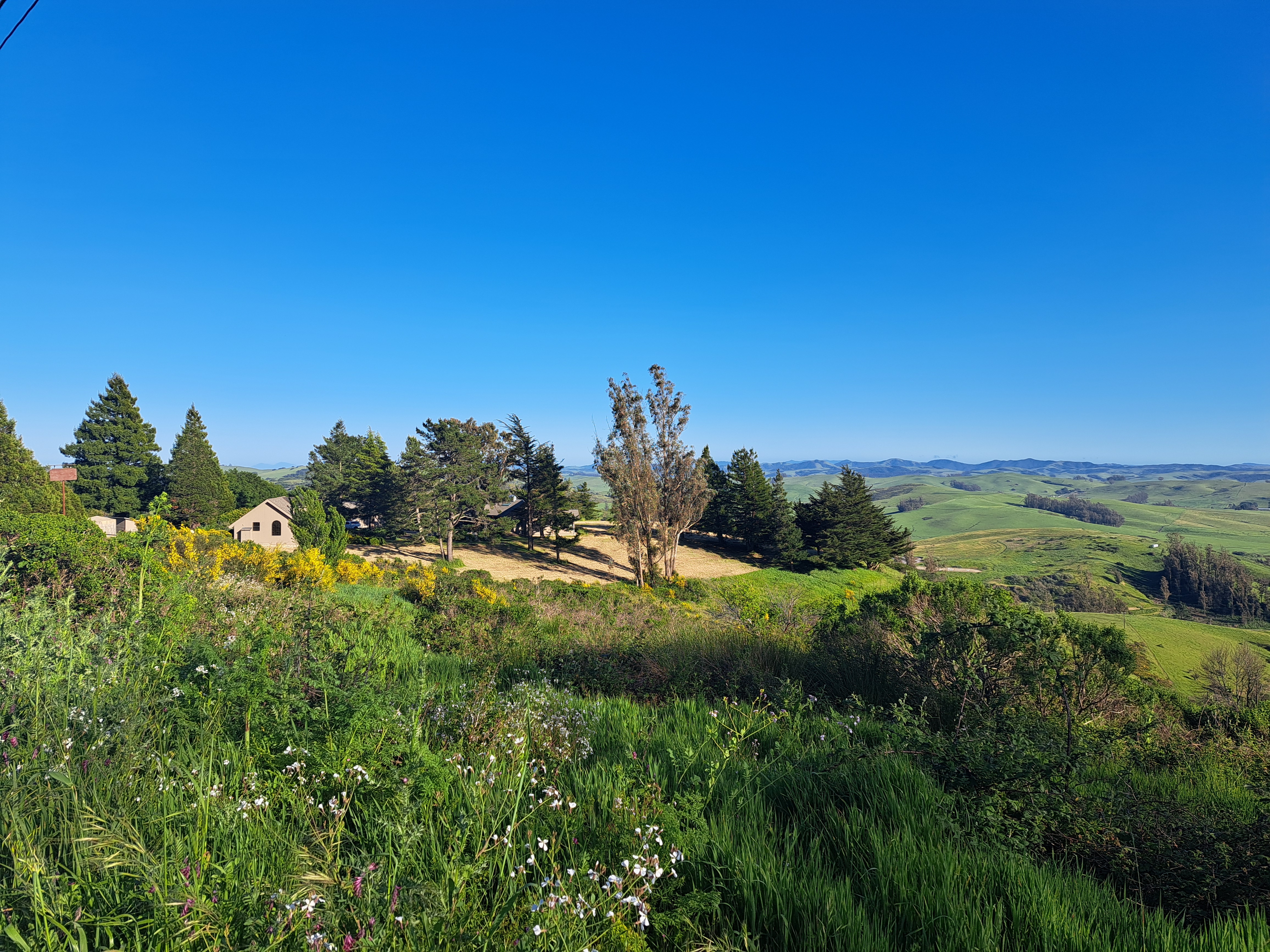
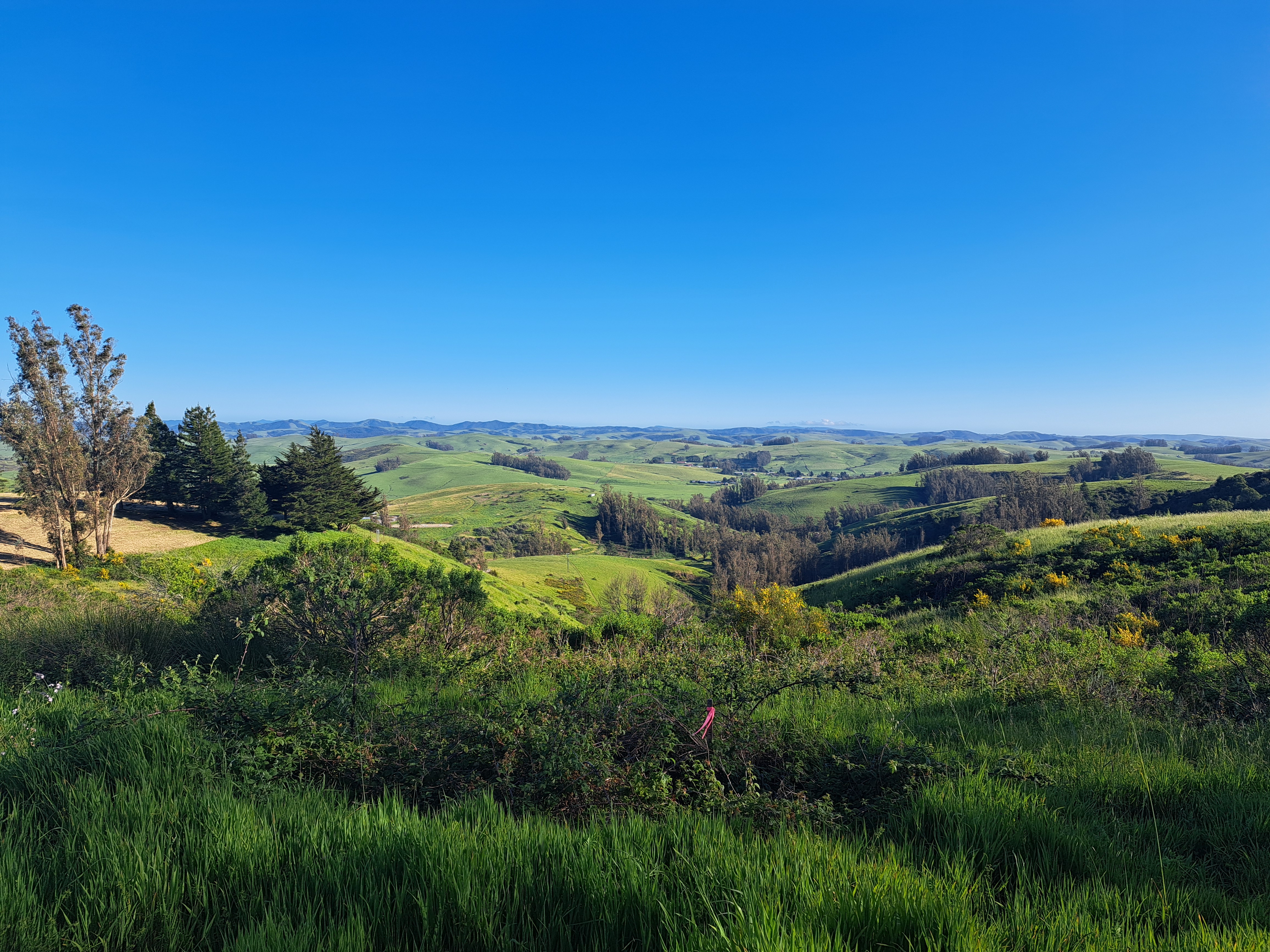
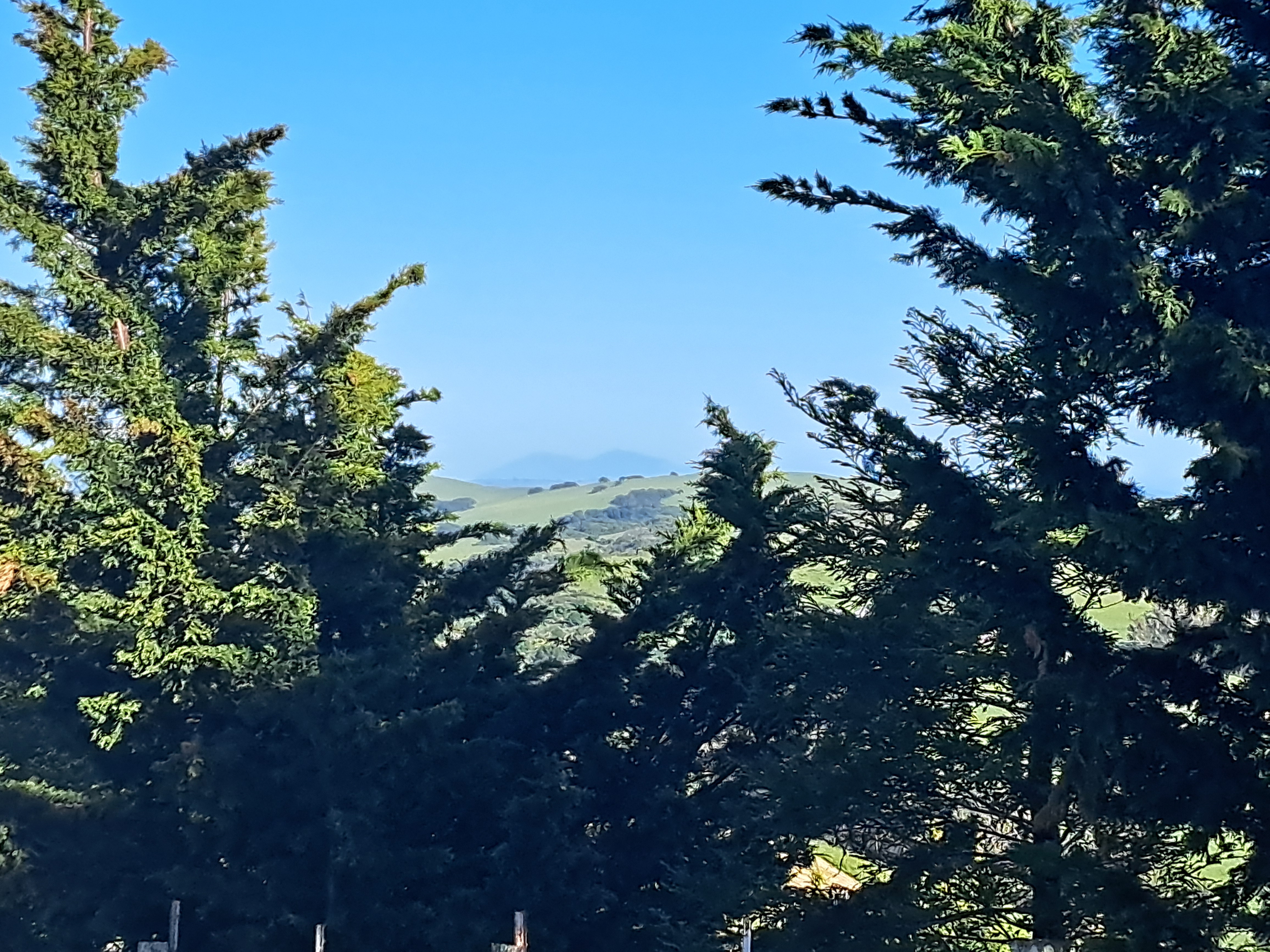
Mountains.44

From the Air.54


Islands.64


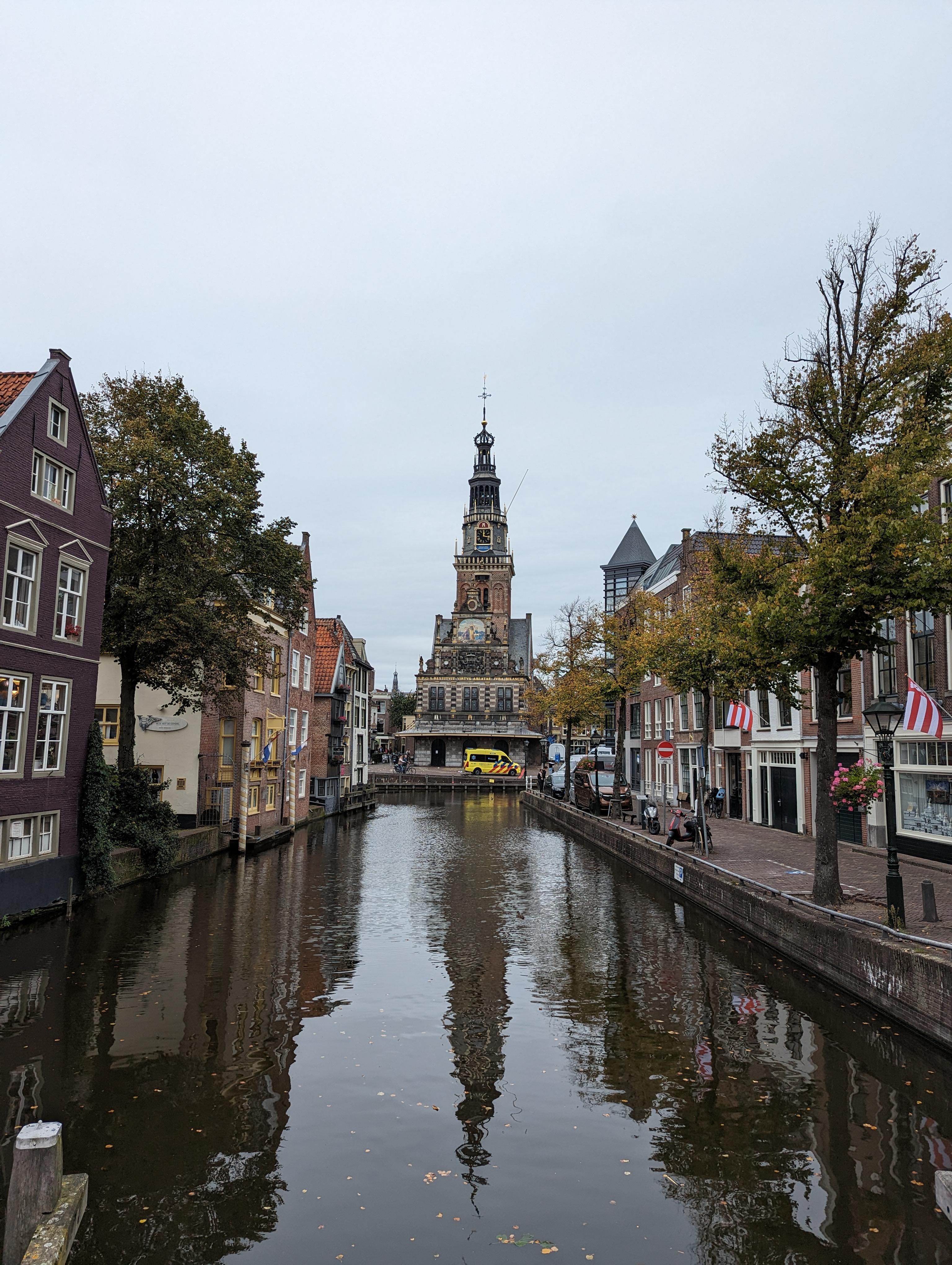
Urban Canals.174

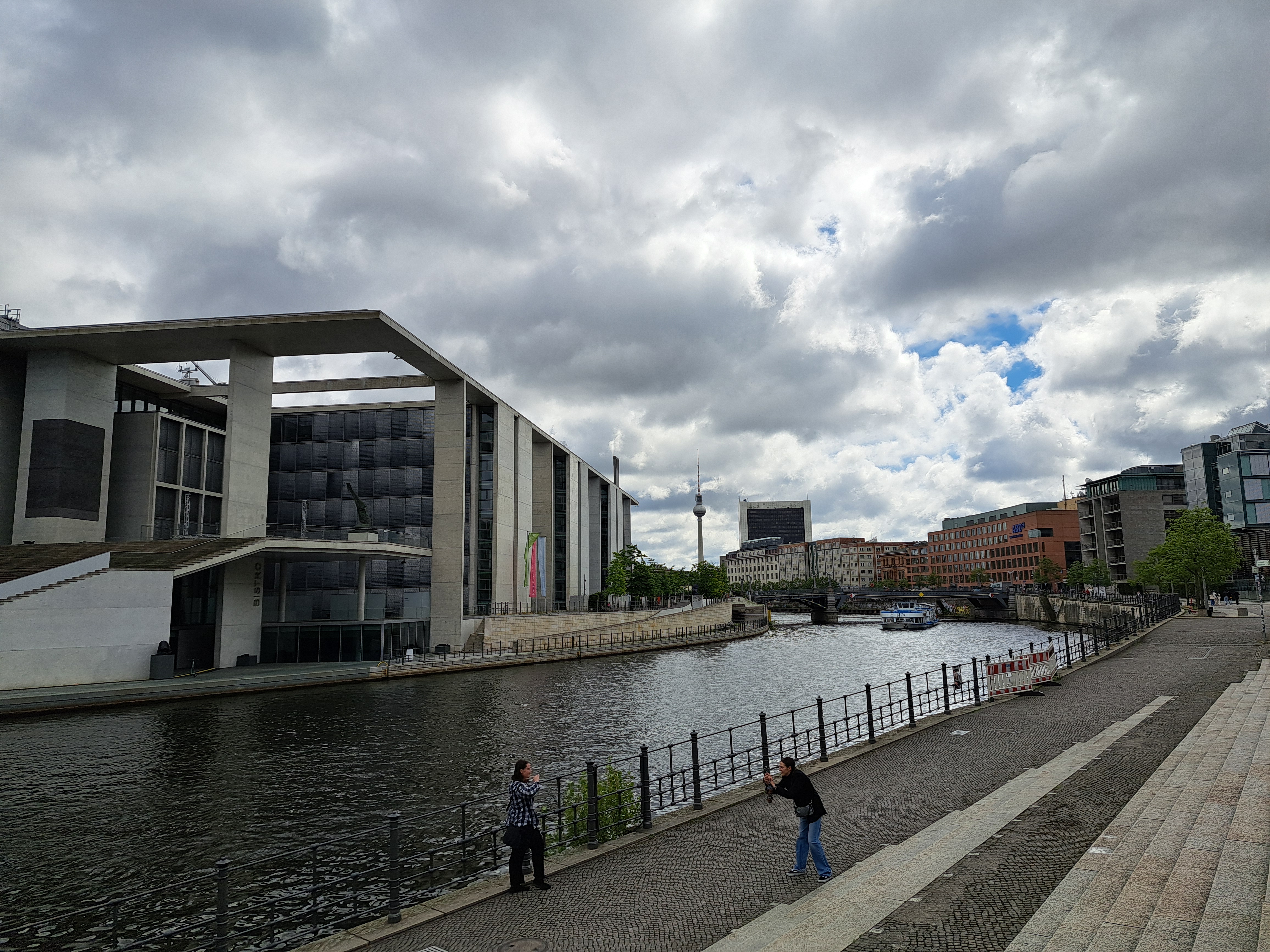
Urban Canals.173
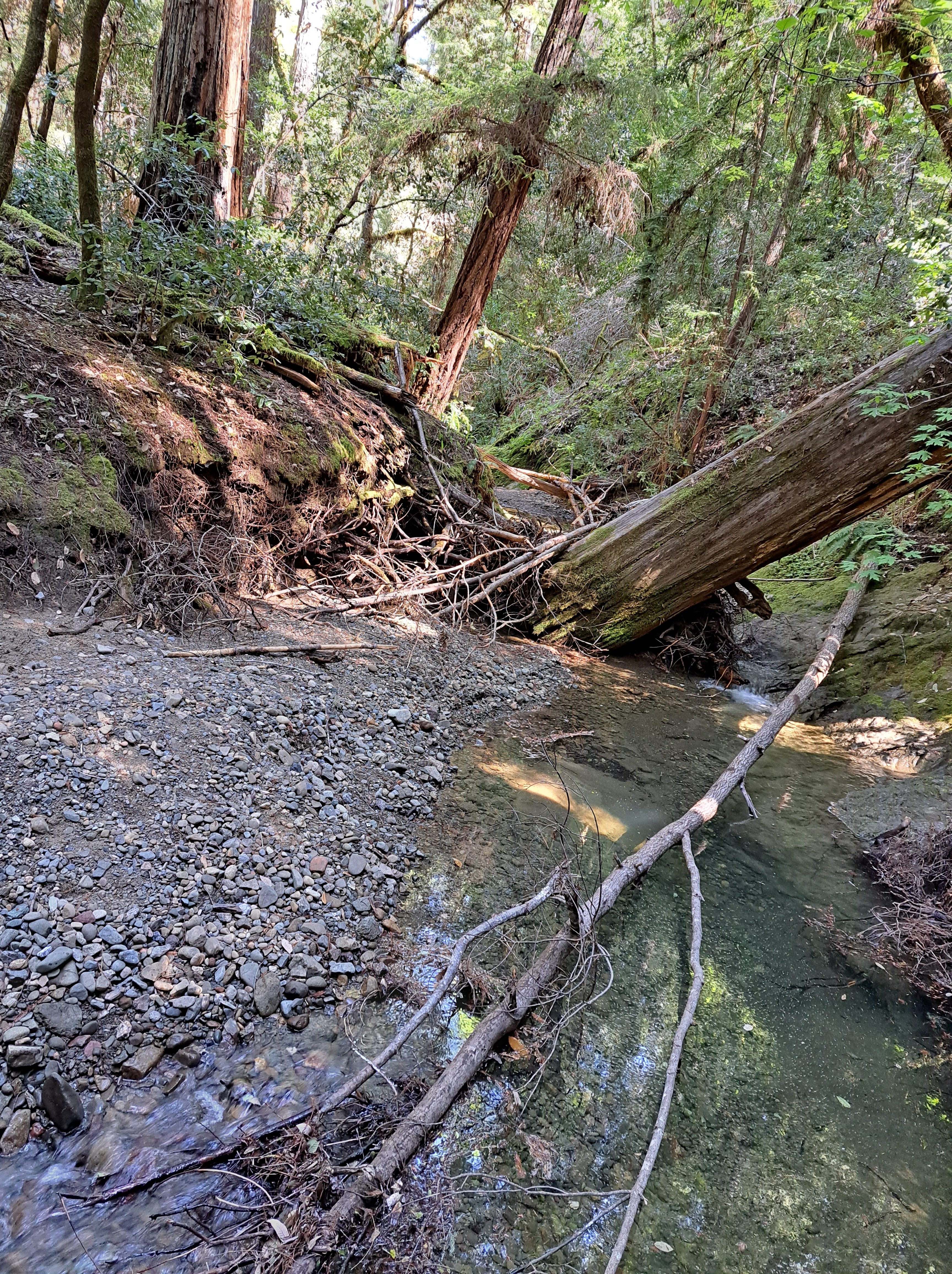
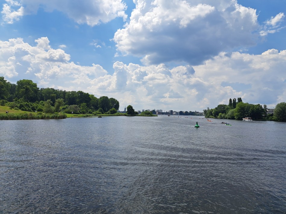
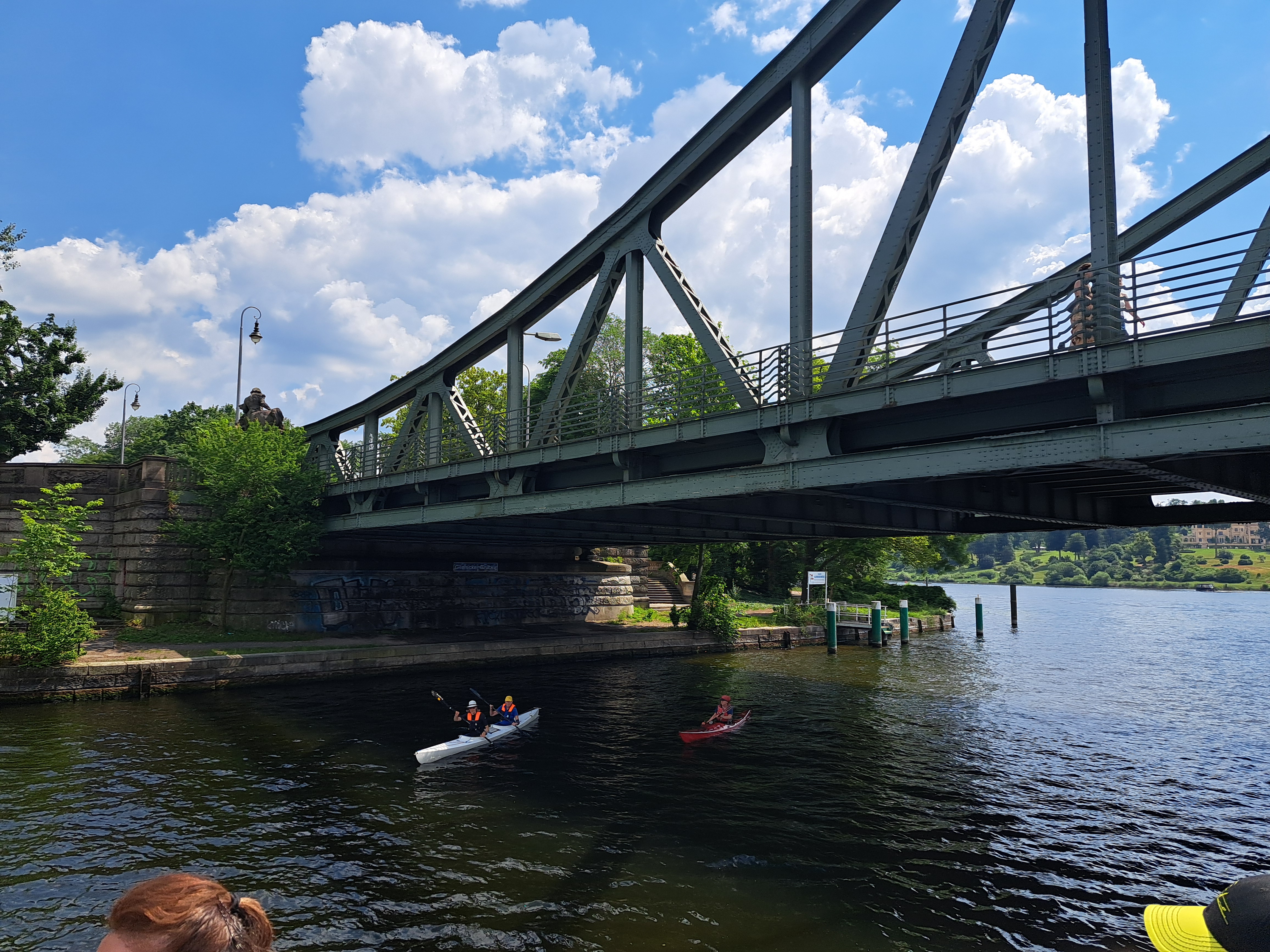 It’s been back in the news lately with the complicated prisoner swap several nations arranged with Russia: the bridge formerly known as Bridge of Spies. We showed it to you in an earlier post, little knowing it would soon be back in the news. Above & in the gallery below, all remaining shots of it from that lovely visit with Steve end May / early June. Also, all the remaining shots of the lake – river – canal system that we explored on our round trip from Wannsee with views to Potsdam (bottom photo in this post), under this bridge, around past Pfaueninsel and thus back to Wannsee itself on the Havel River and accompanying lakes. Back when the wall was deadly and this a heavily-fortified border, the boat trips of course were not being done, and we’d not have had this opportunity to drink our Berliner Weisse beers in loving tribute to our mother, for whom Berliner Weisse was the only beer she ever even considered drinking.


County Views.143


Signs of the City.93
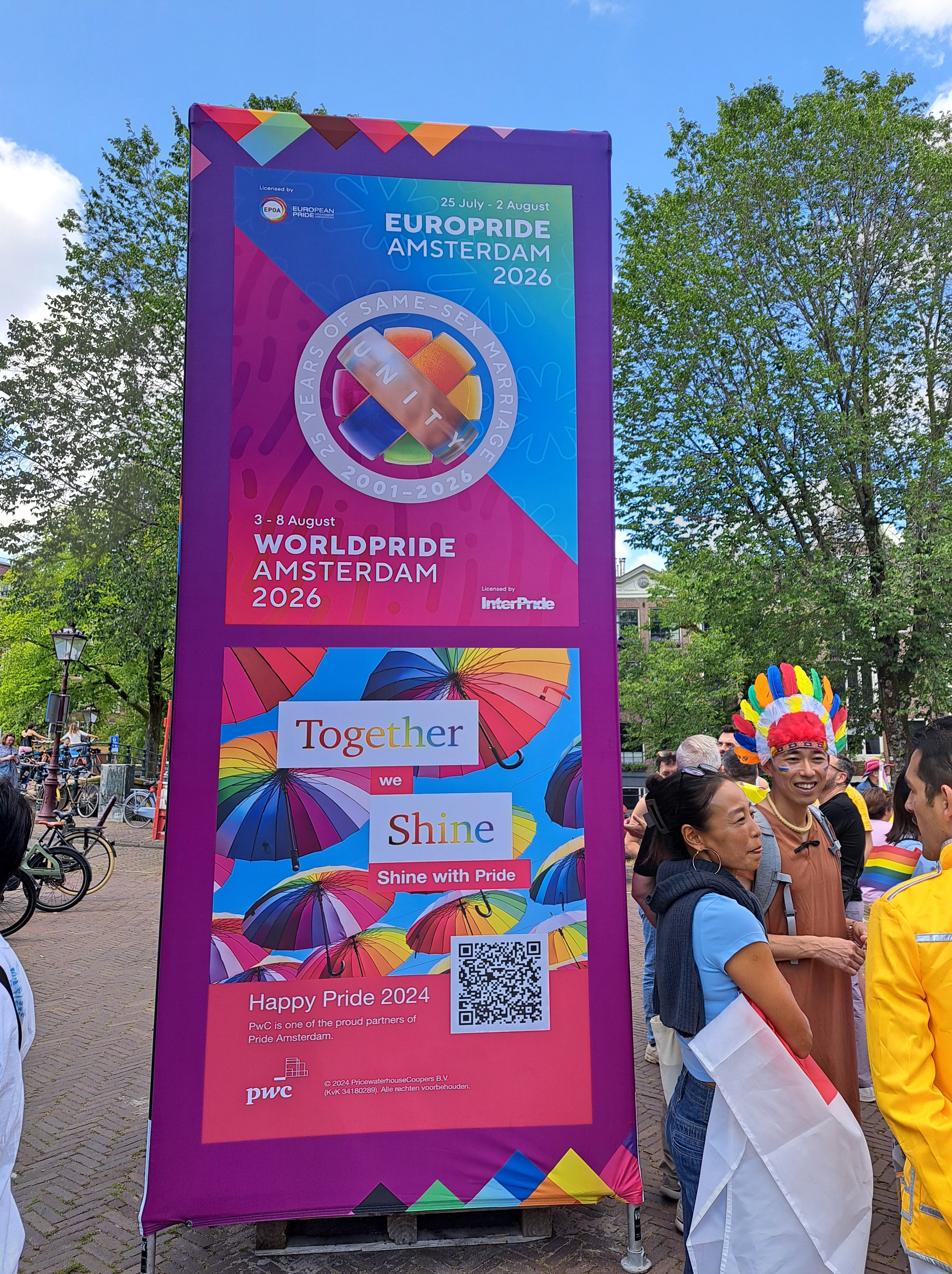


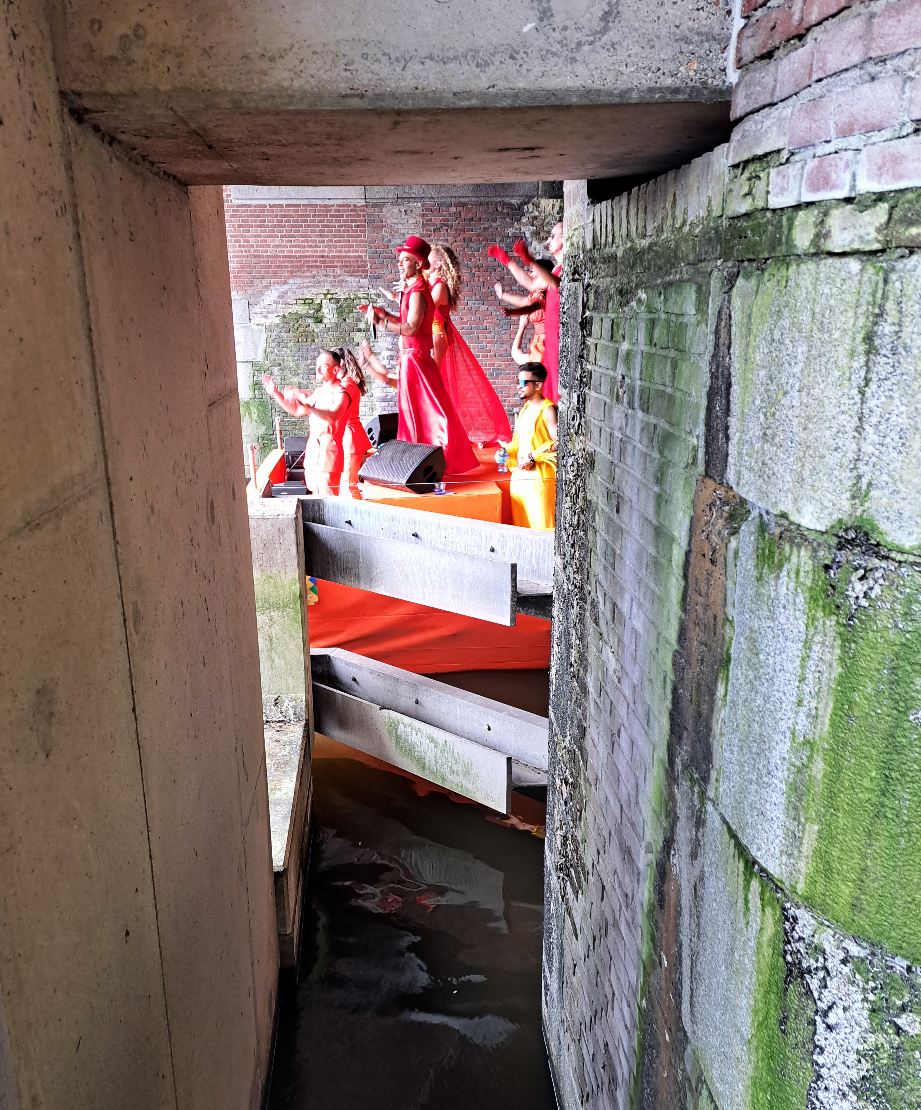
Amsterdam Pride centers around 3 weekends in late July and early August, this year with a “Pride Walk” the first weekend, this post’s featured “Pride March” the second, and the “Pride Boat Parade” the third weekend. I finally joined or observed all three this year, including the boat parade this weekend just past. So nice to live where one is legal and less fearful of physical, social or legal harm and threats.


