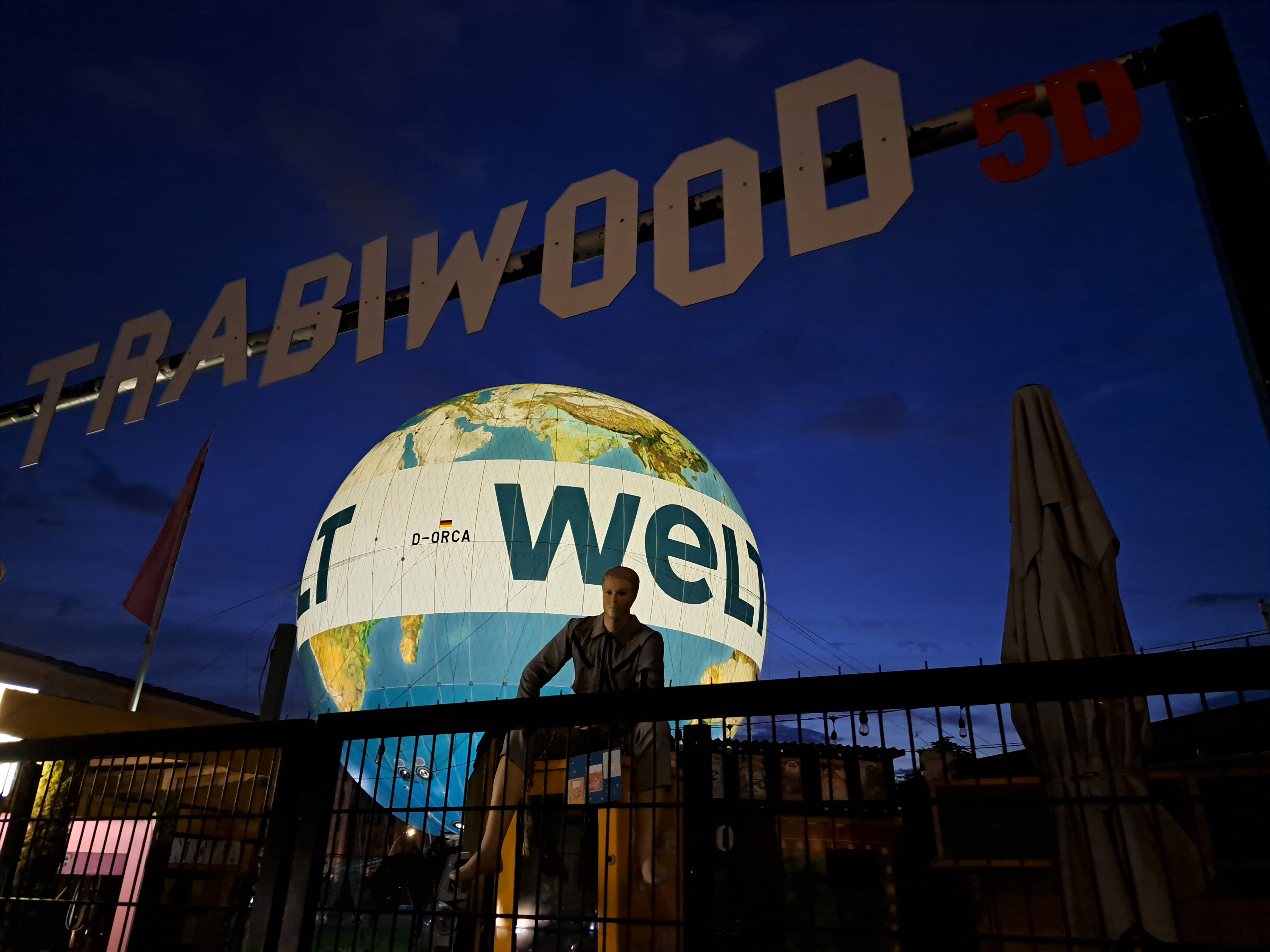


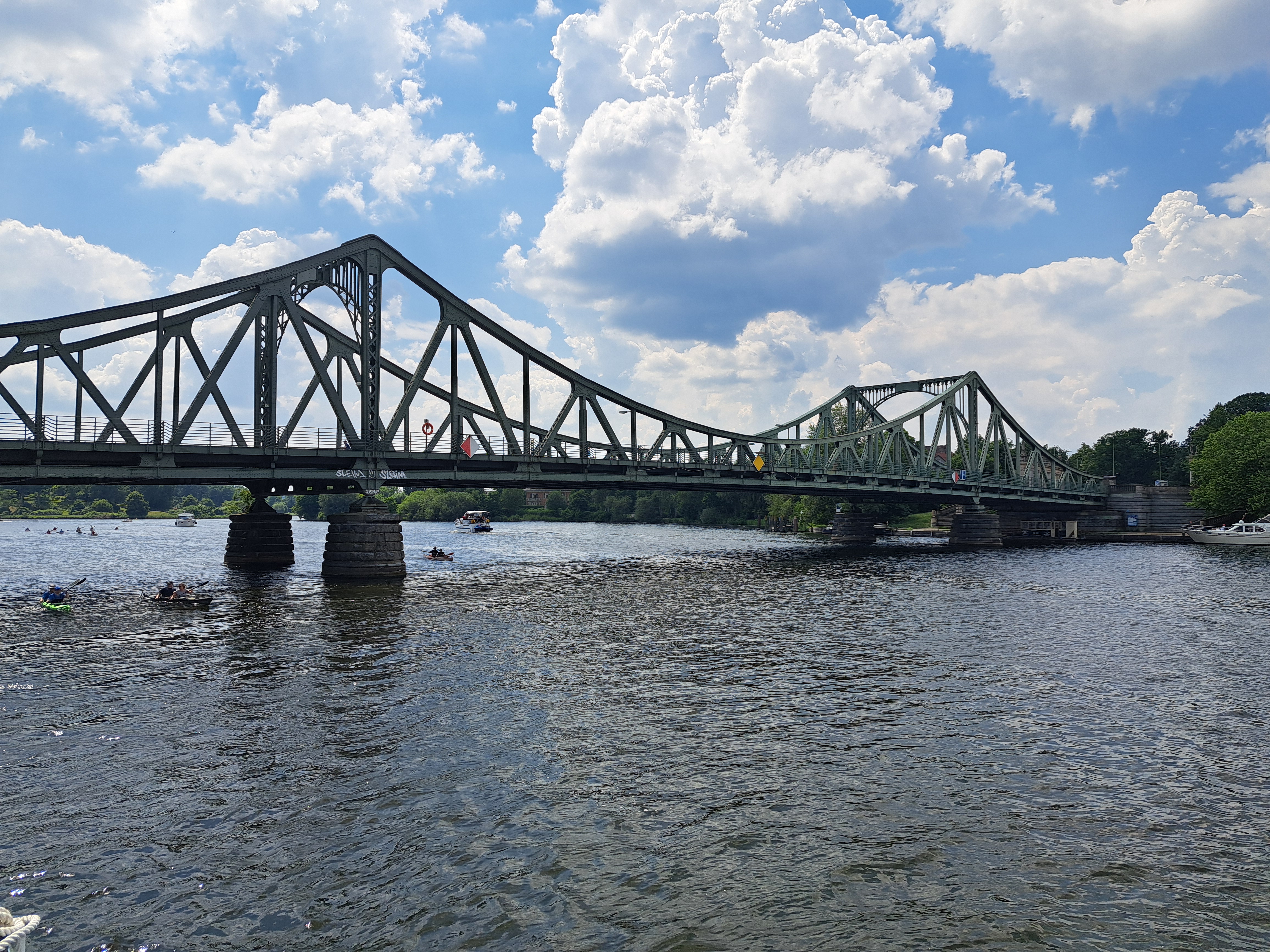

Above left: the bridge depicted in the movie “Bridge of Spies” along with another view from Steve’s and my cruise on June 1. Below, from Pfaueninsel looking over to the shores of Brandenburg. Back in the day, the W/E German border ran down the middle of that water.
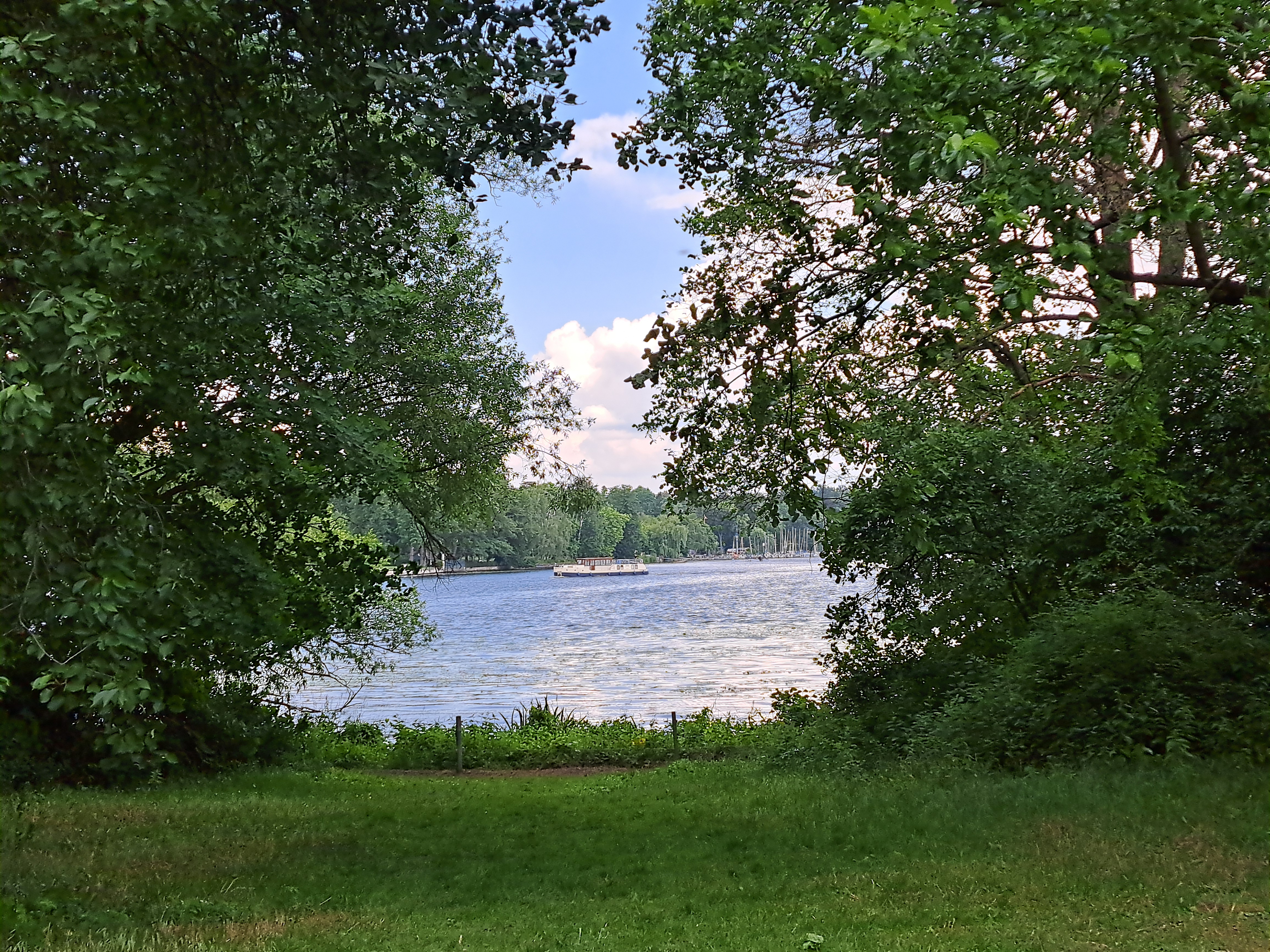
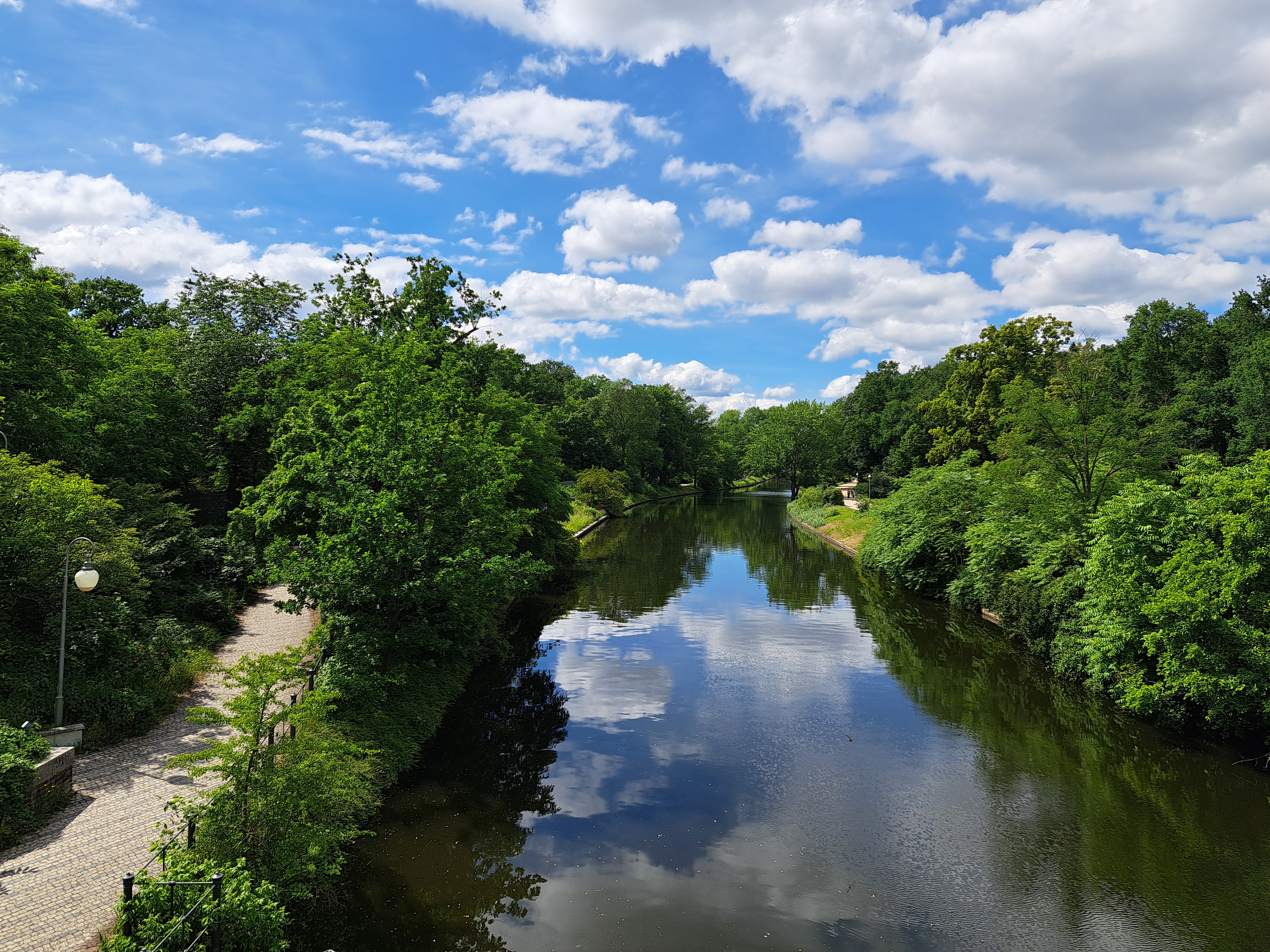
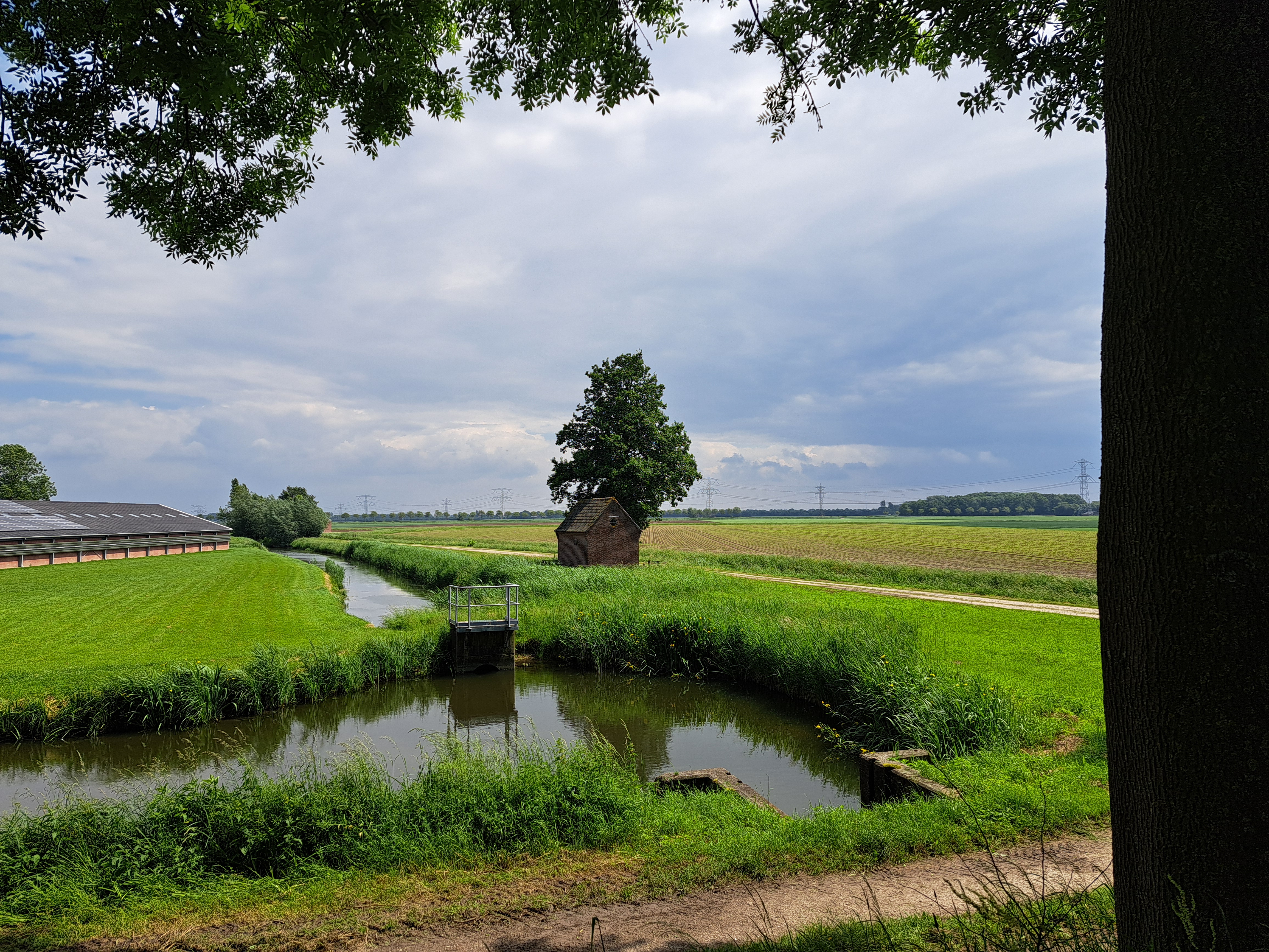
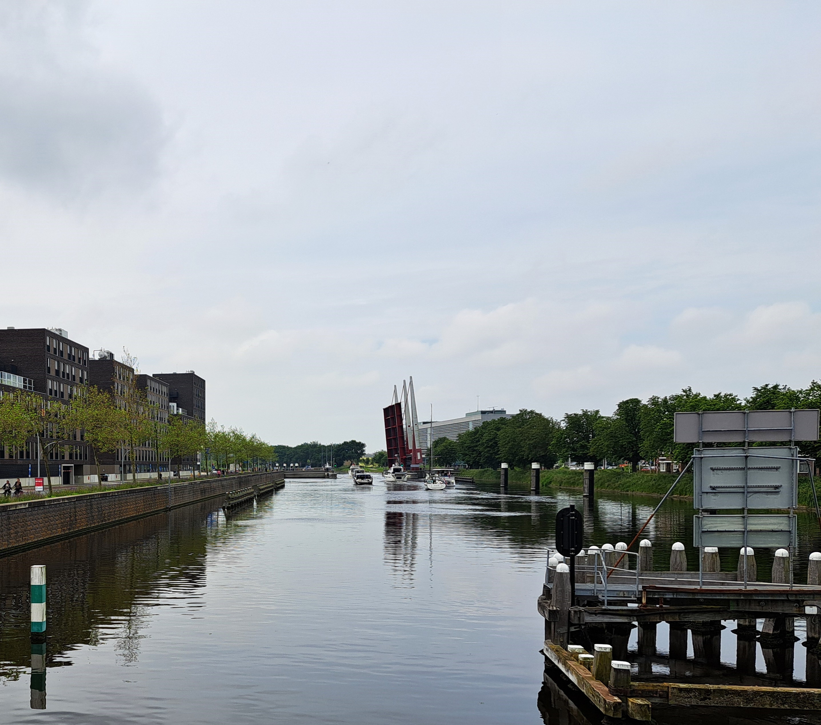
 Peacock Island (Pfaueninsel) in the Wannsee – Havel lake and canal network in the SW corner of Berlin along the border with Brandenburg. When West Berlin was surrounded by a walled and guarded GDR, this was a lovely natural escape from the city vibe, which I myself first visited with my mother in May 1980. Steve – now a renowned and published scholar in German studies – and I spent a delightful late-May weekend in Berlin recently, during which in addition to fabulous educational narration from him, we did a lovely cruise during which we also stopped off and re-explored this island, a former royal back-to-nature pleasure garden from the 18th Century, complete with peacocks to add to the vibe, and royal dairy built to look like a monastery.


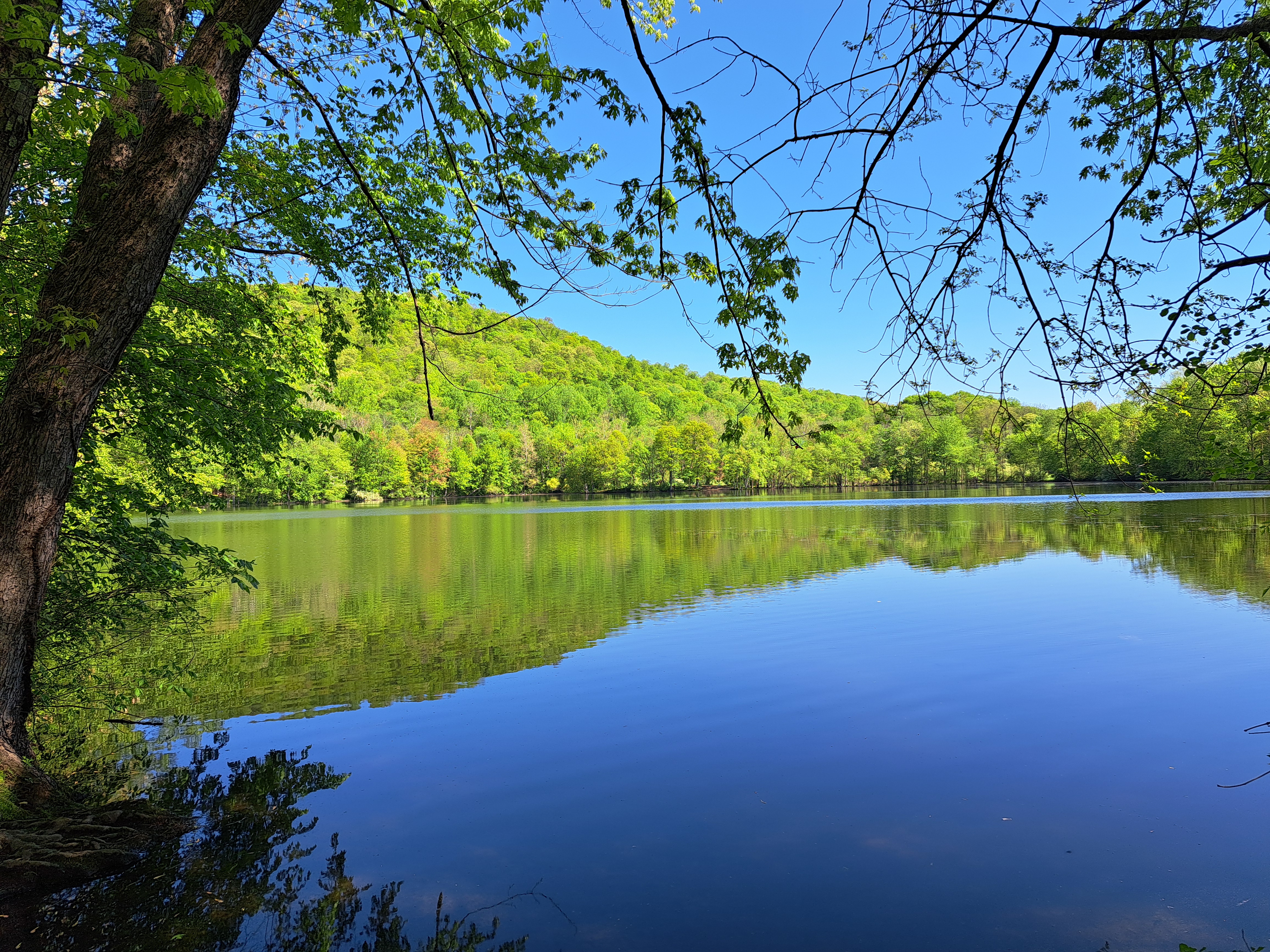
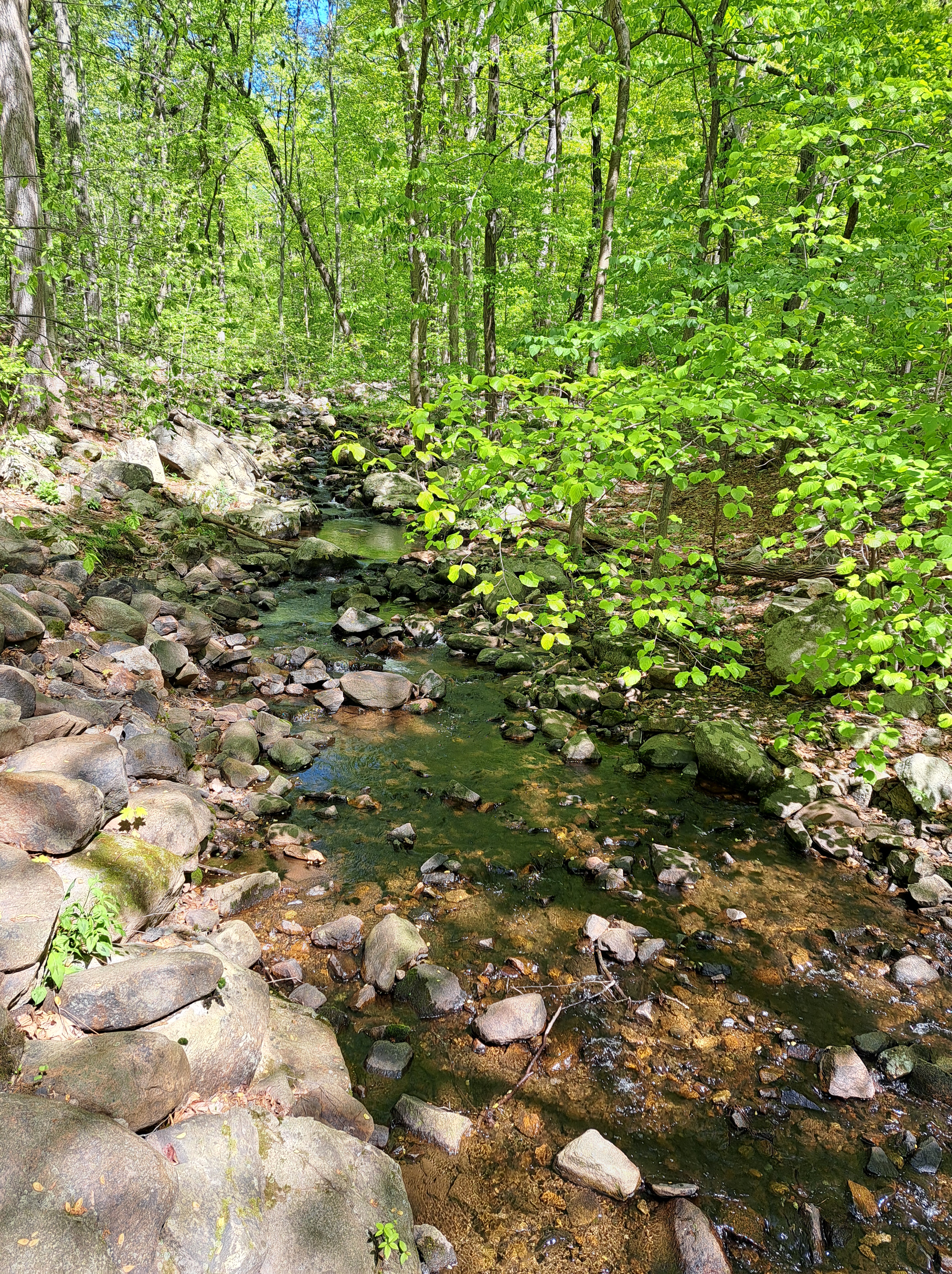
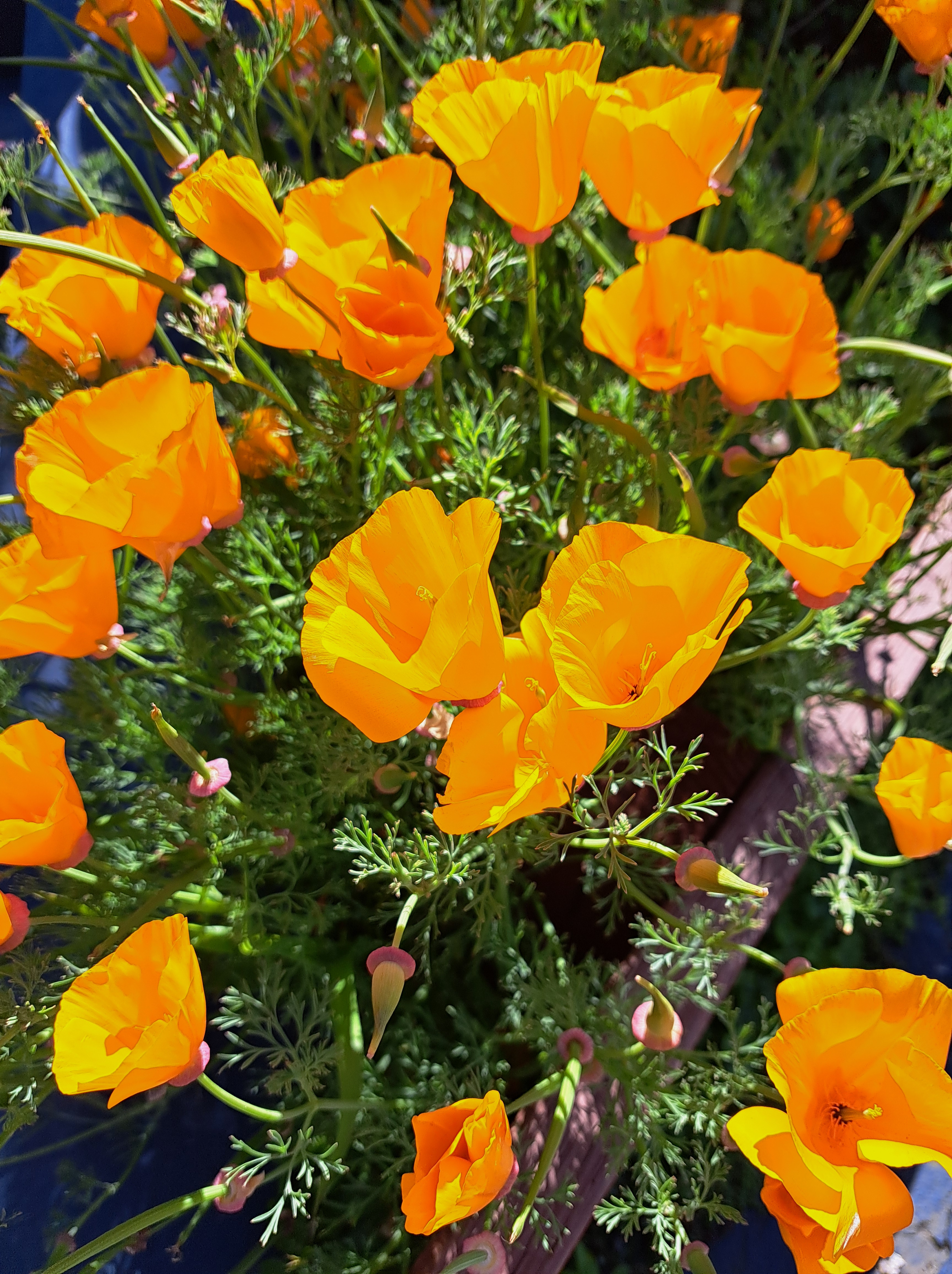
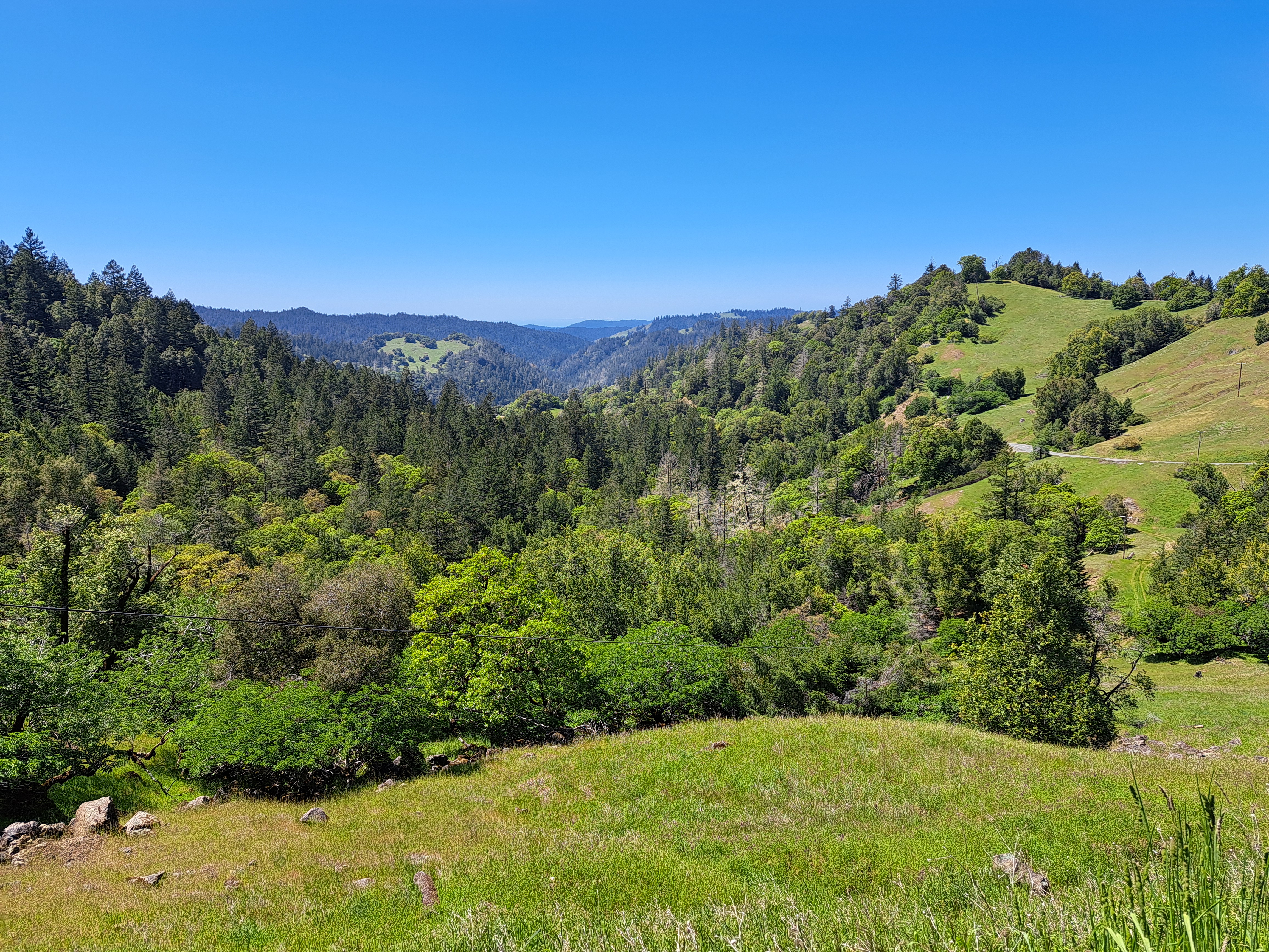 Mountain views and a few California poppies, all from a lovely day’s walk in central Mendocino County on the last day of April. If you’re on the full view website here, you can look for “Mendocino County” as a “tag” further down, and select it to view past Mendocino posts which explain a bit of what you’re seeing. Orr Hot Springs is tucked deep in a canyon in the photo above and some of the photos below.


 If look closely at the above photo, you’ll see a bay coming in from the Pacific at the top right, carving inland to the top-center. That’s Monterey Bay. I’m posting all the remaining photos from our mid-April approach to SFO, following the flight from Amsterdam which, as we’ve shown you in prior posts, cut over the norther half of Greenland before plunging south along the Pacific Coast. This photo was taken in the midst of our complex circling in order to line up for (north-facing) approach to SFO. If you’re interested in better understanding the geography, just open a map and see how the “peninsula” sits between the (more enclosed) SF bay and the open, further south Monterey Bay. Here we’re beginning a clockwise circle from our southbound course, so I’m looking south and we’re still turning west and north. The shots below follow the rest of that trajectory in order, although the first shot was taken a minute or so before the one above. Enjoy 🙂