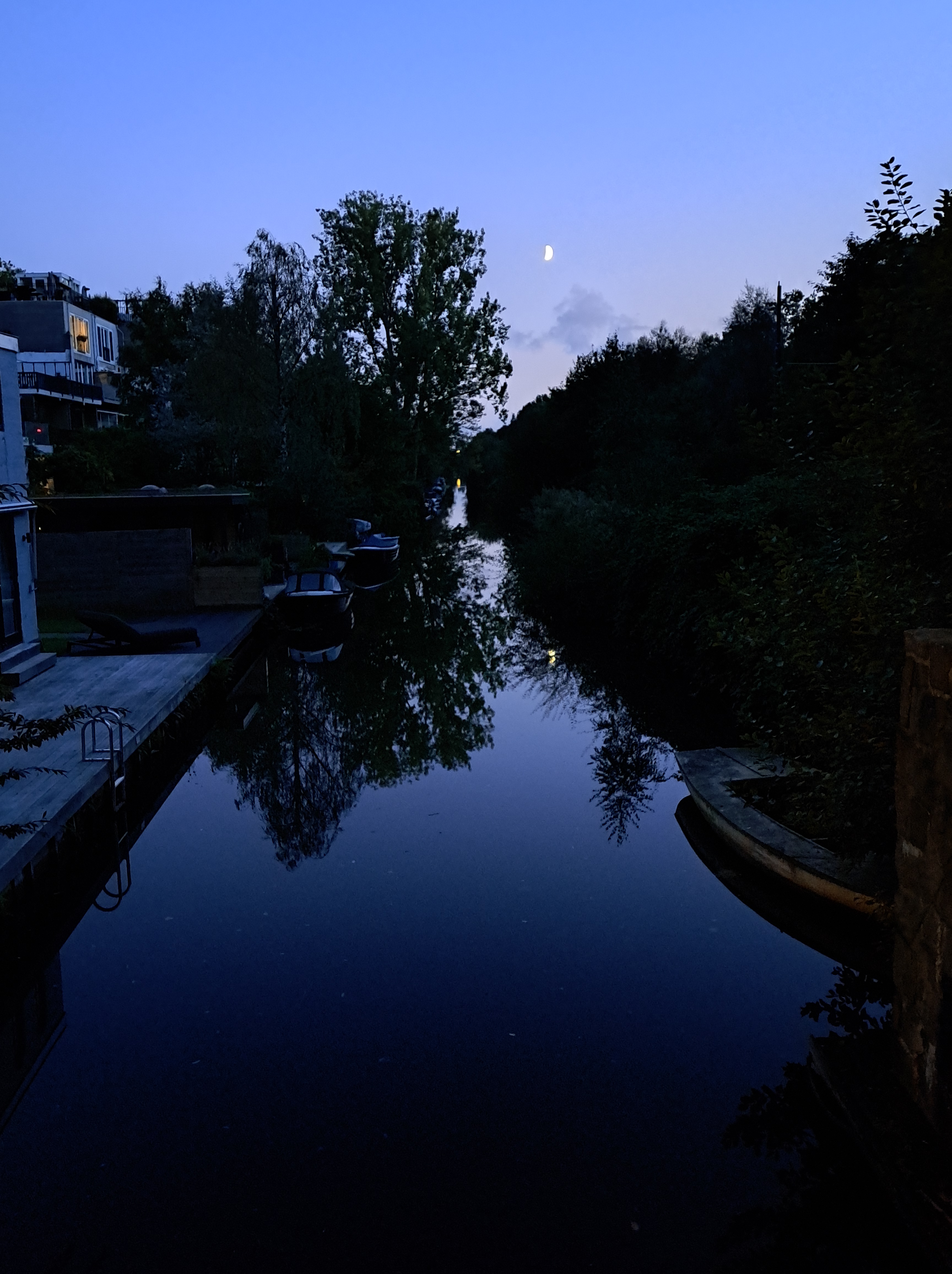
Urban Garden.117

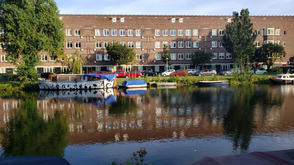
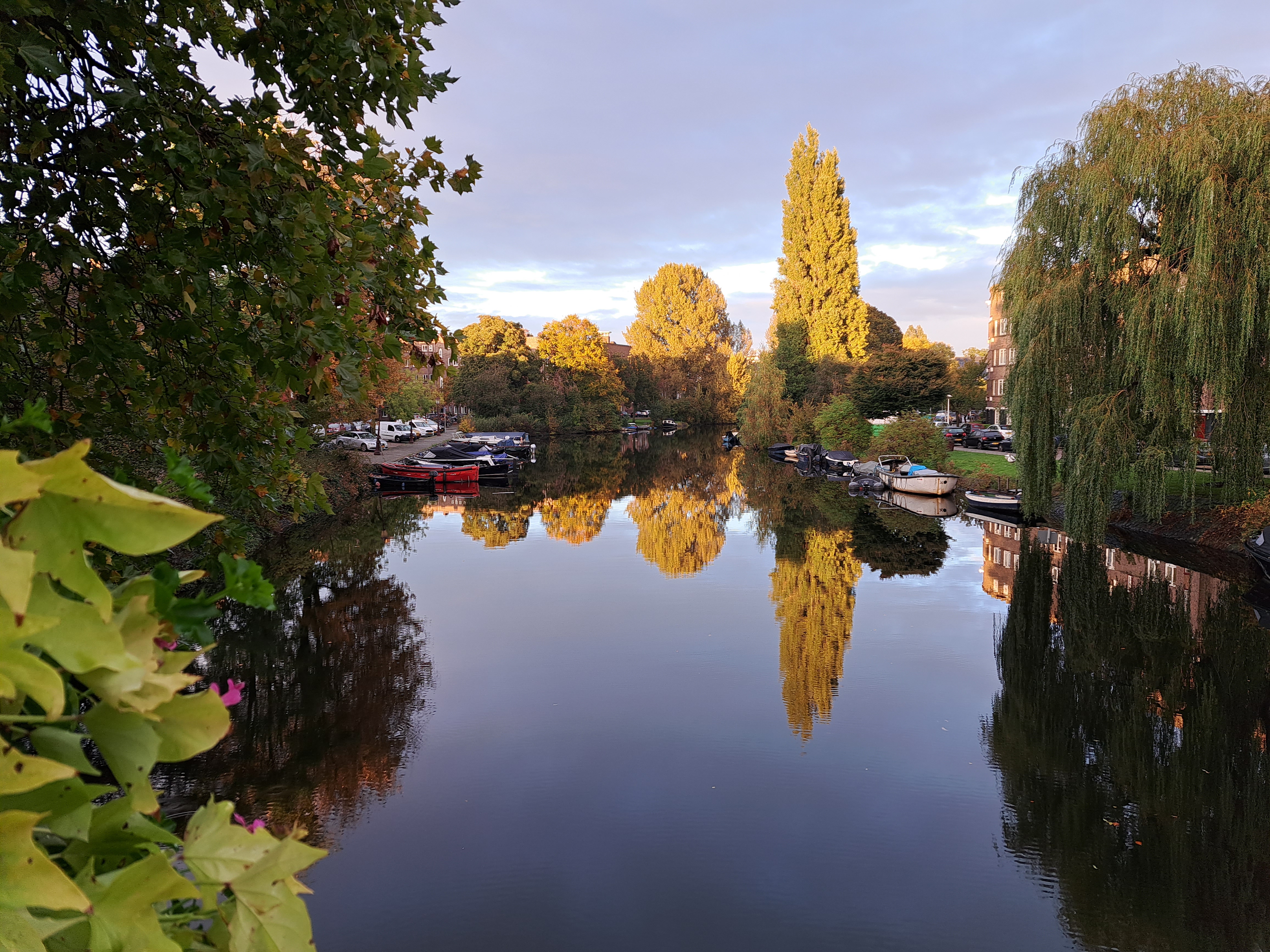
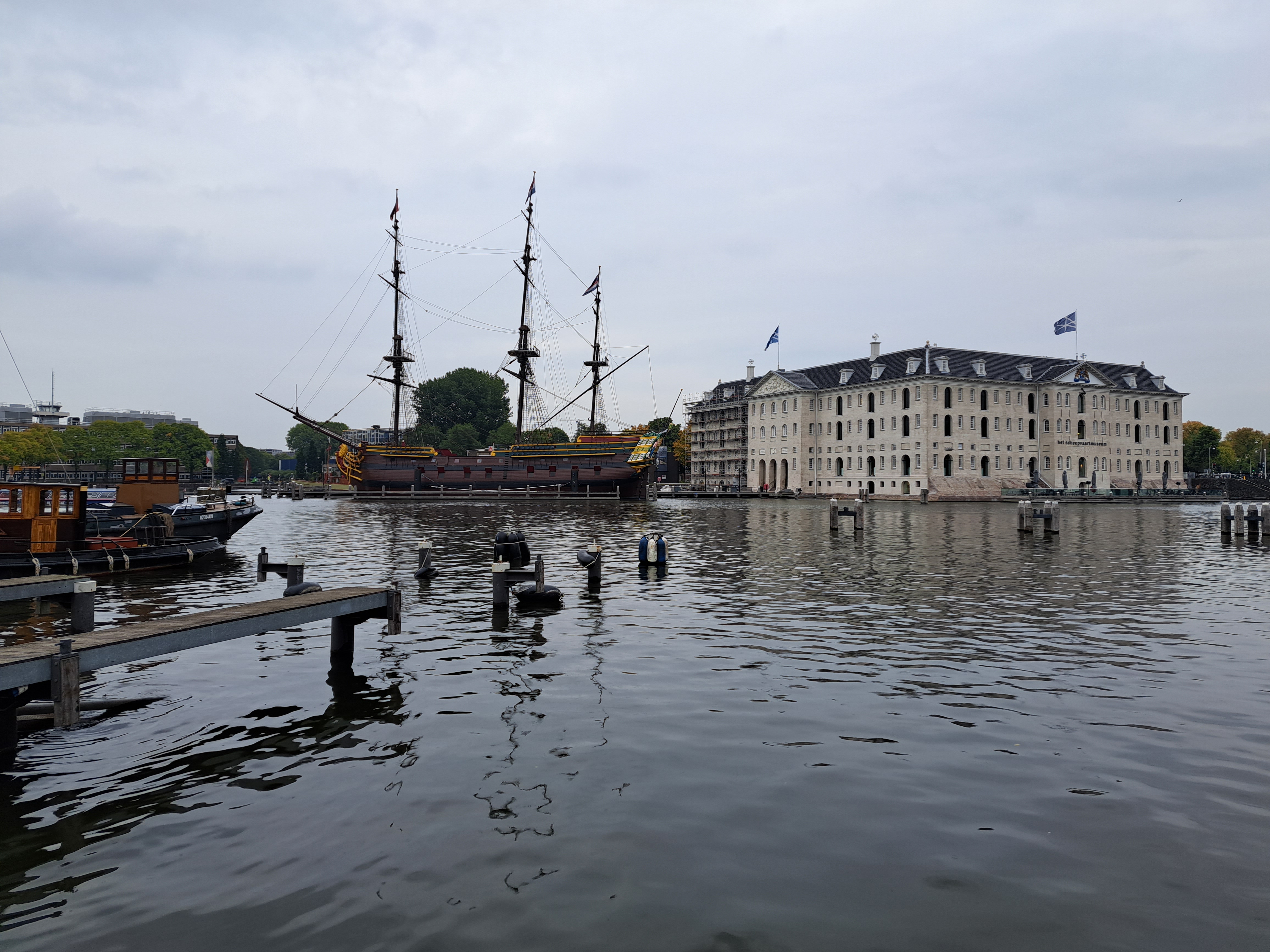
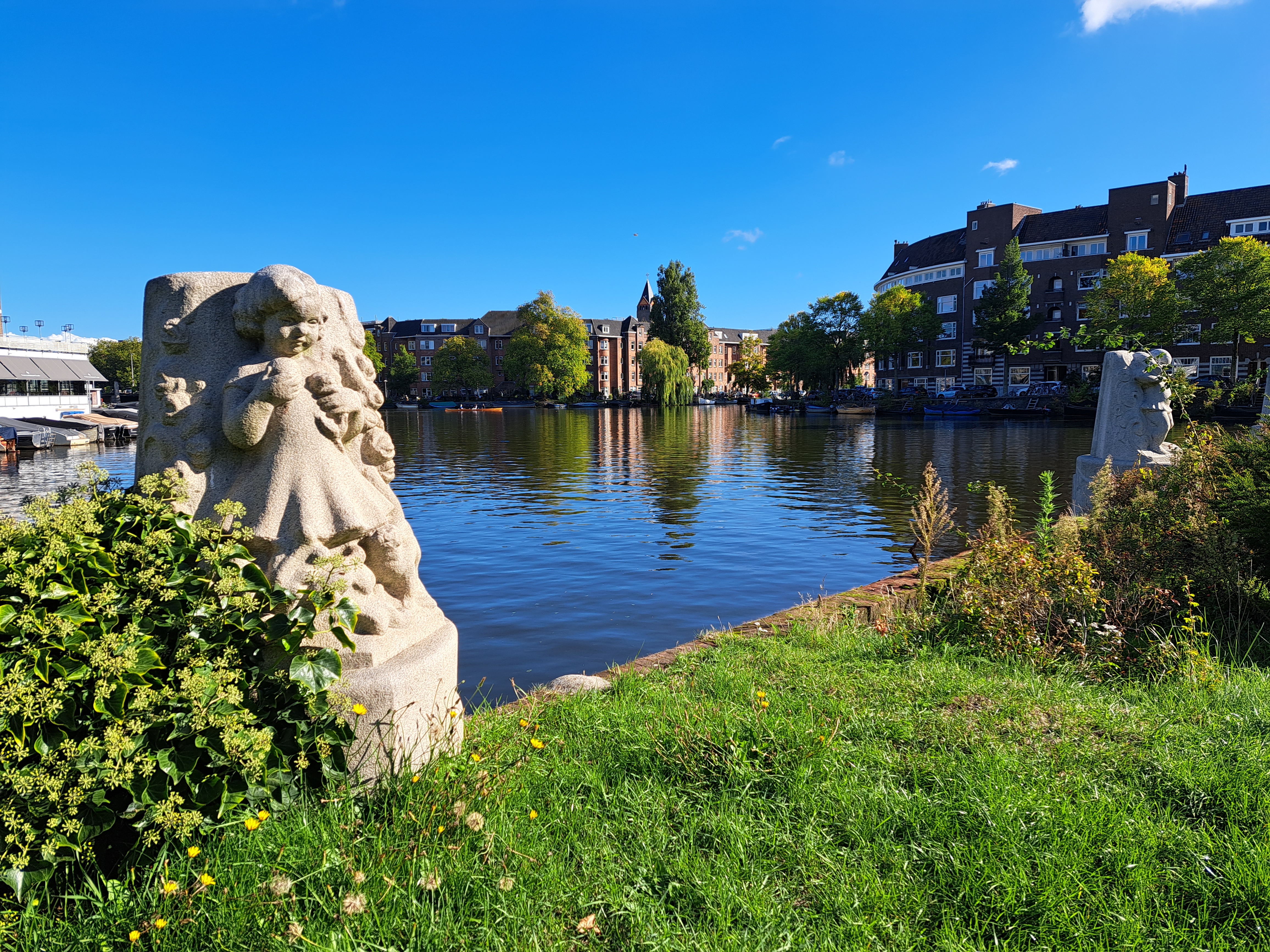
Urban Canals.107

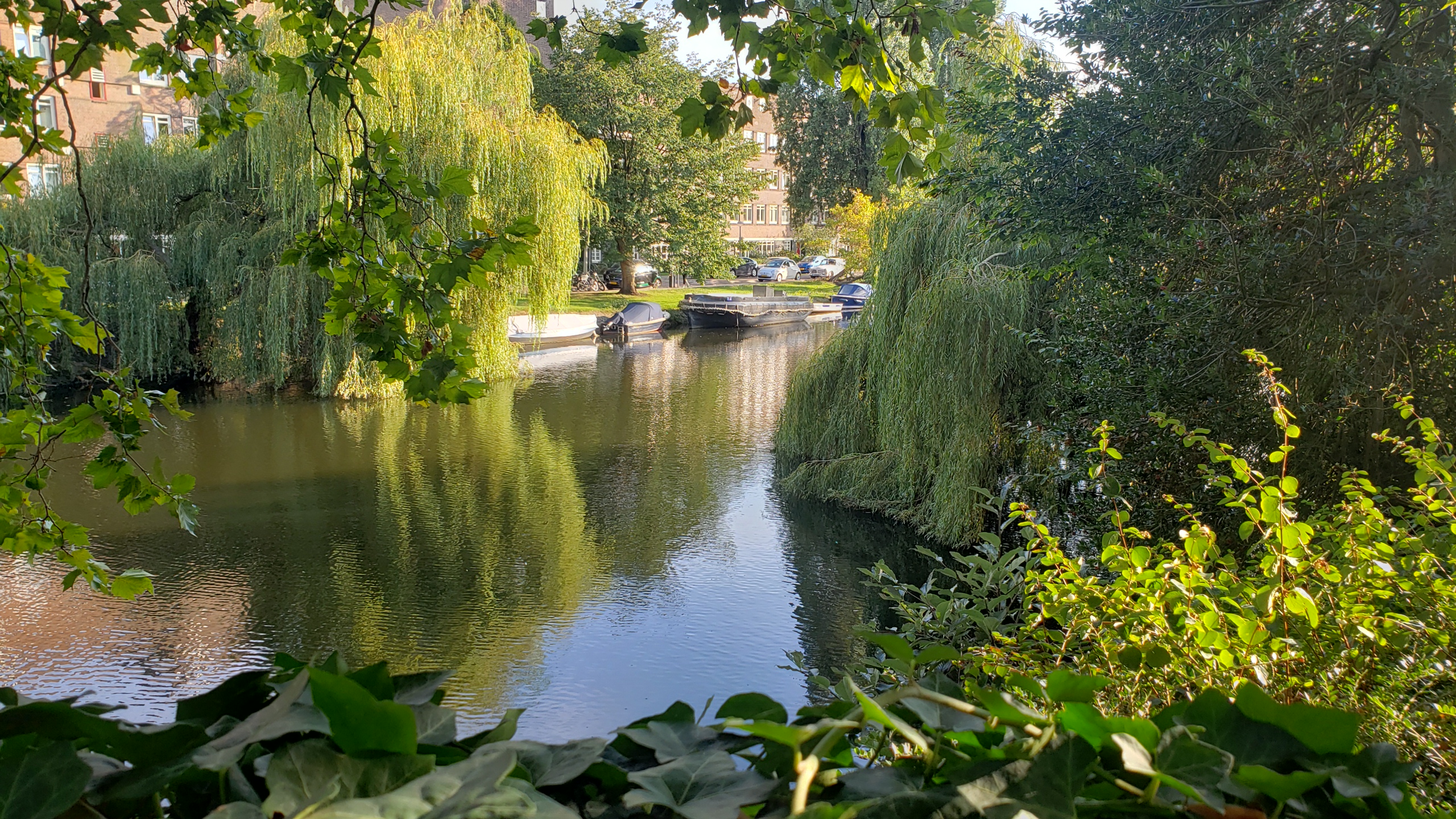
Urban Garden.116
Urban Garden.115
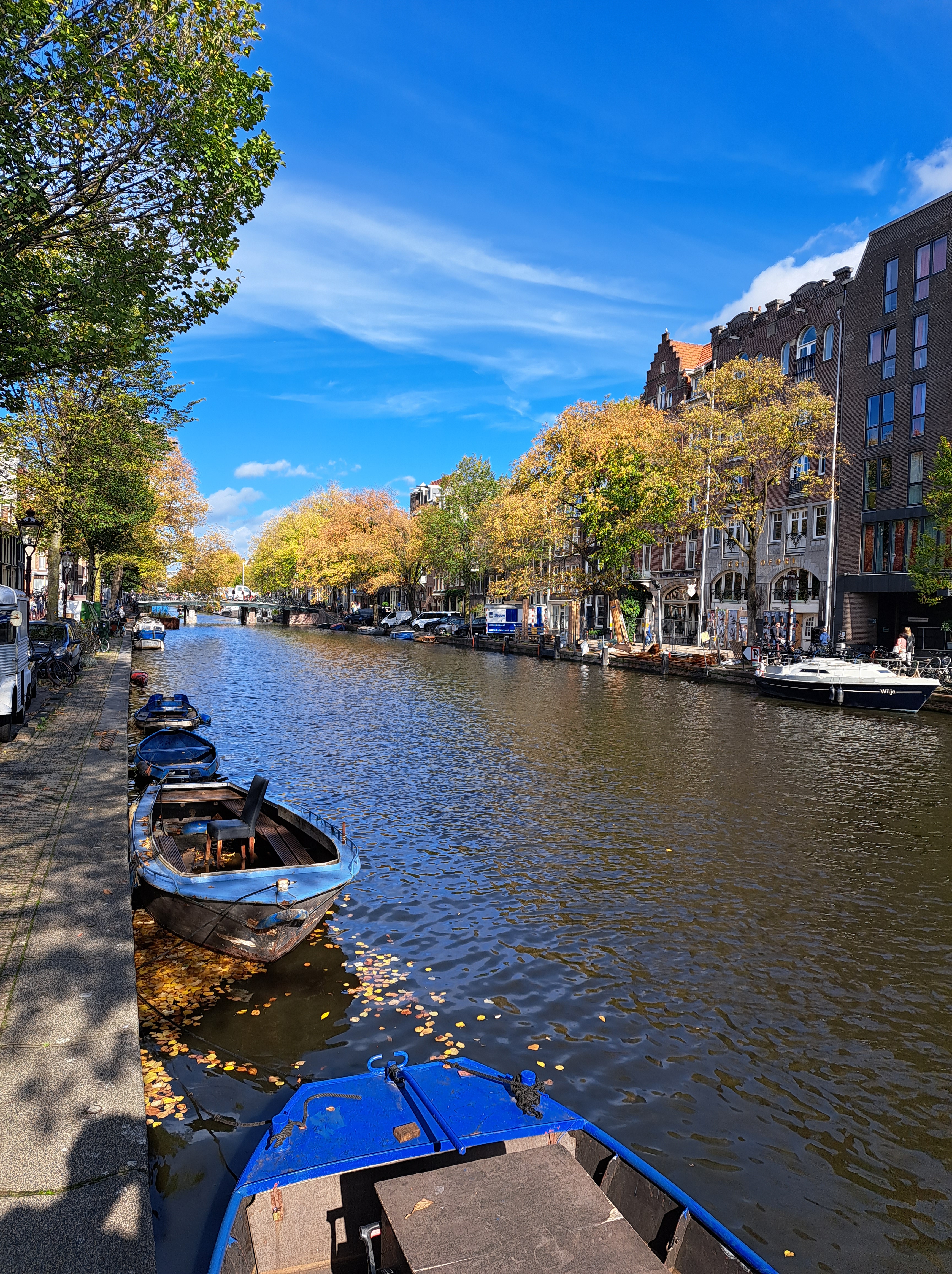
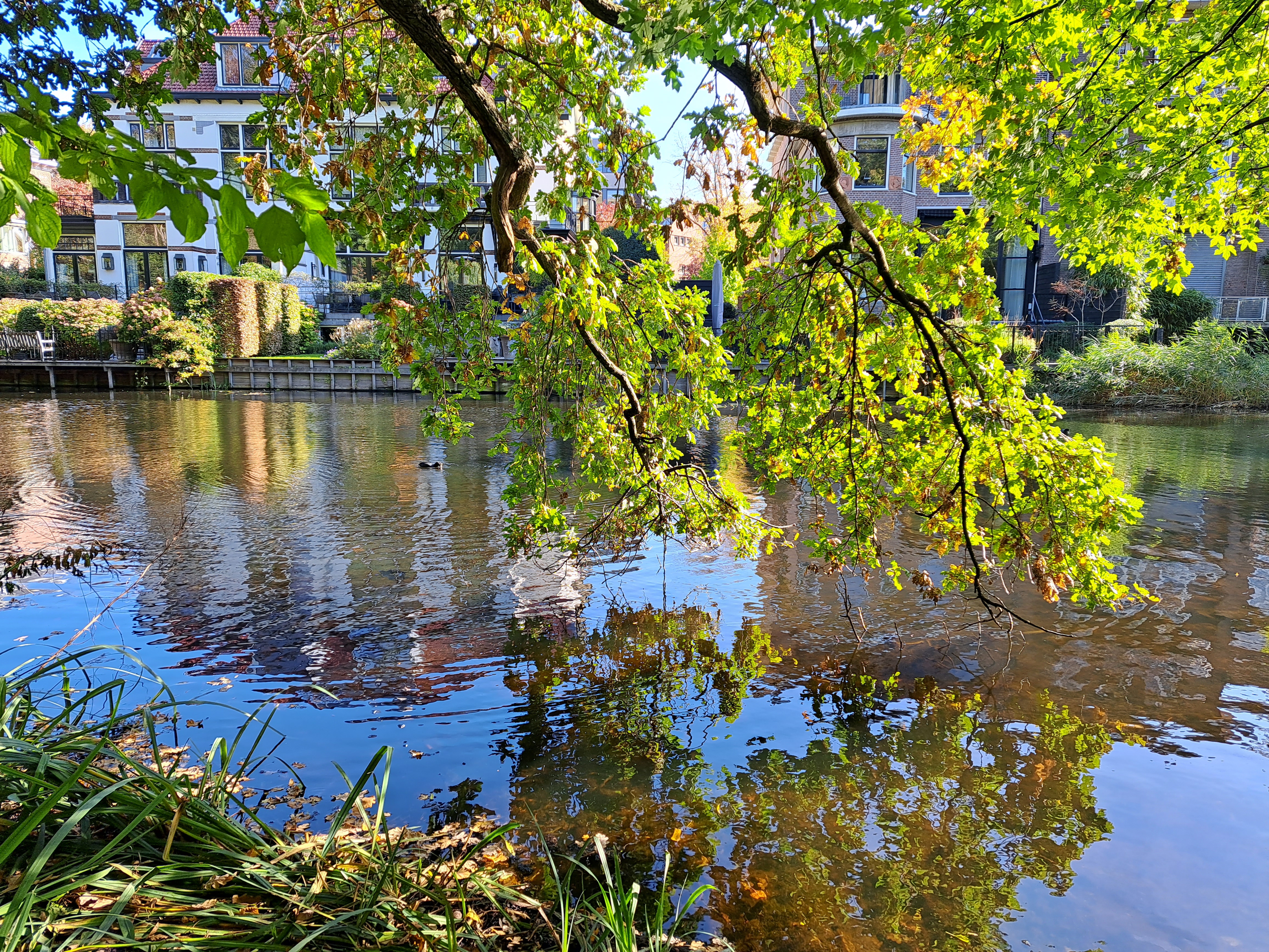
Urban Canals.105
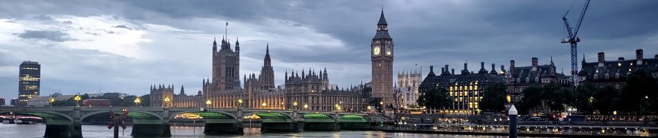
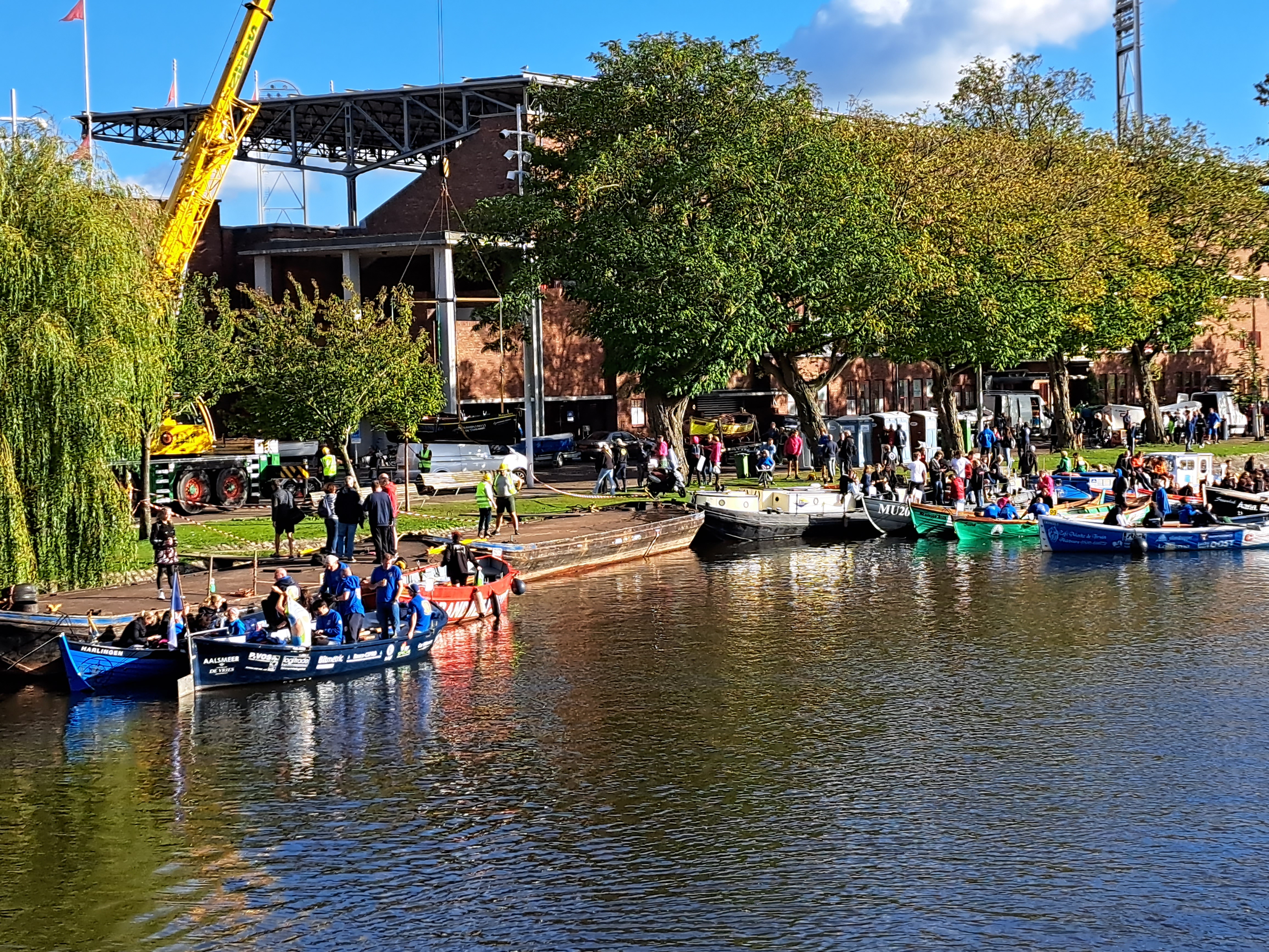
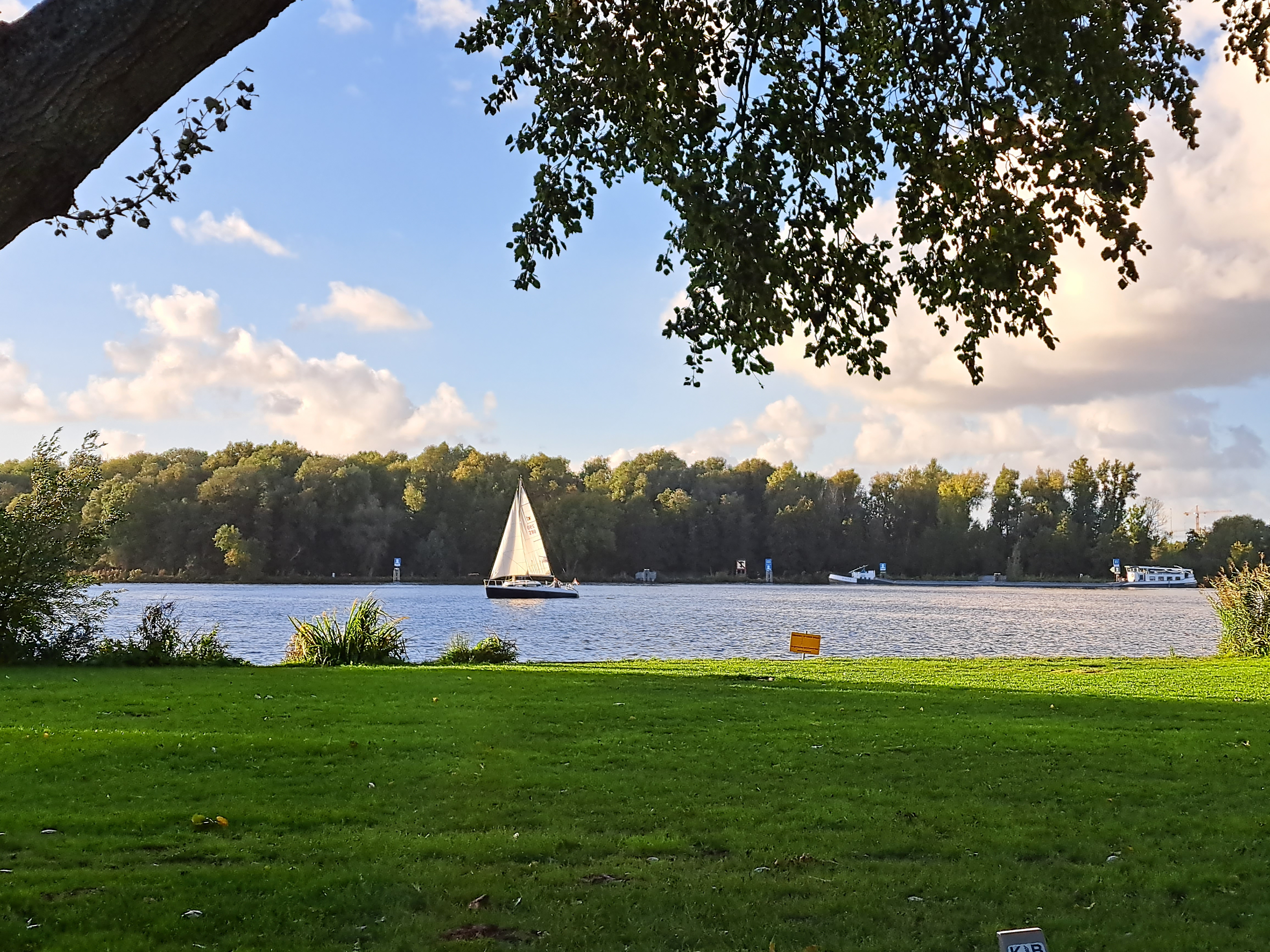
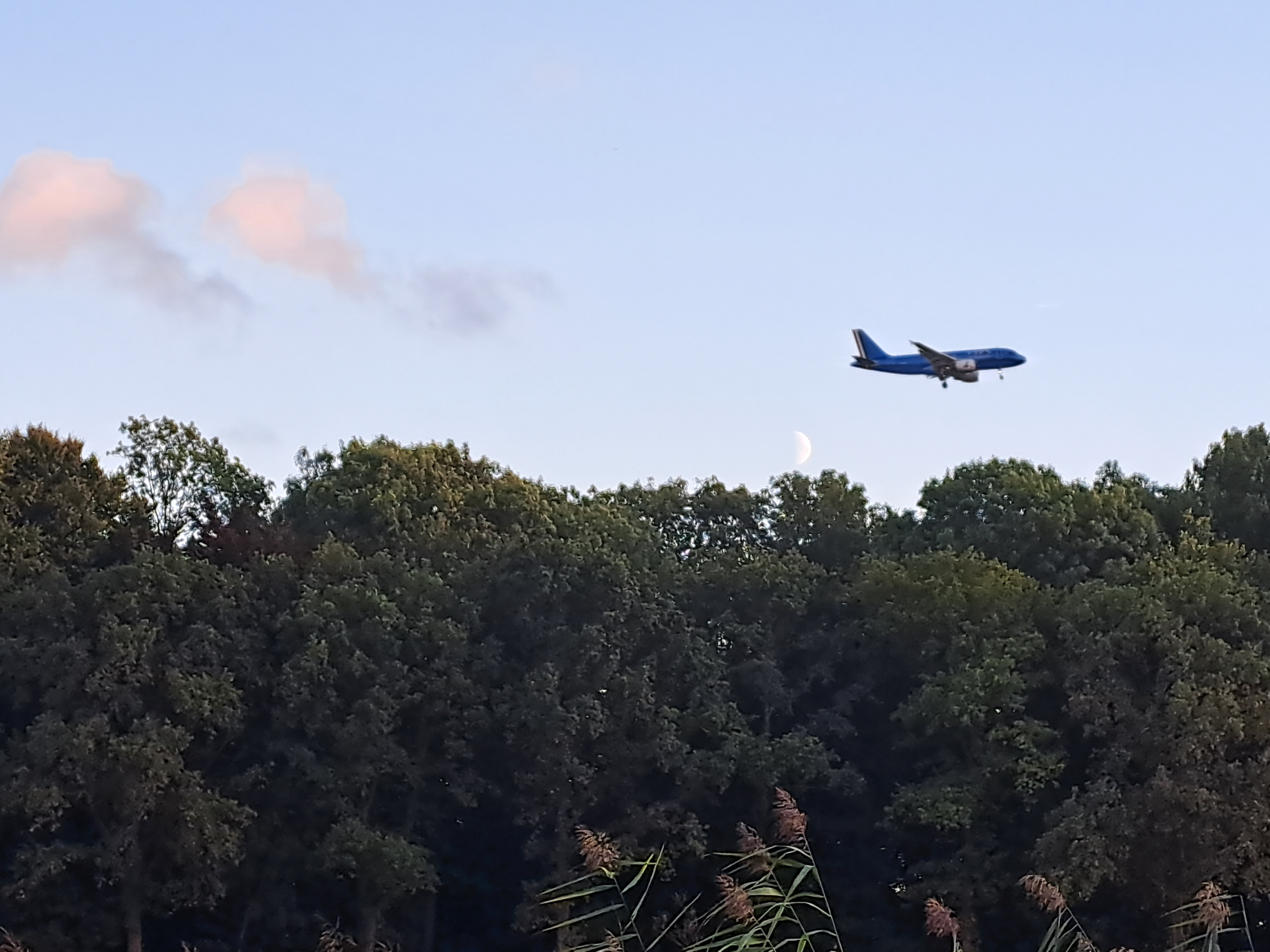
City Views.145
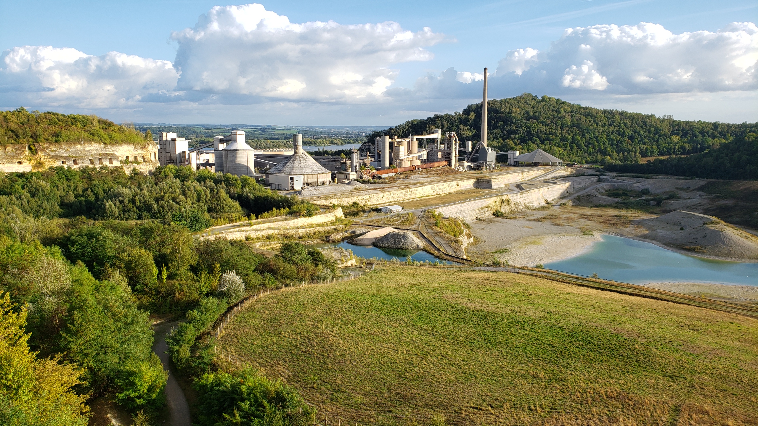
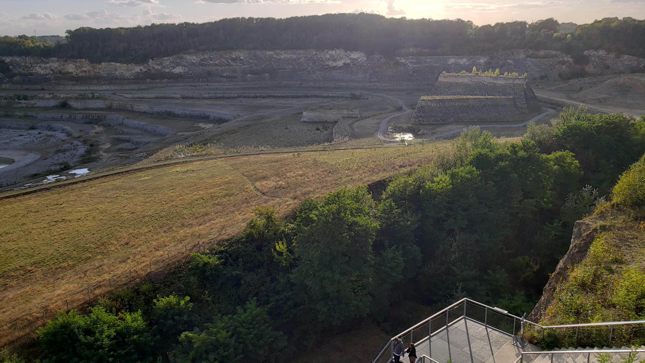
 Nearly all the remaining photos from my 24 hours in Maastricht a couple weeks ago. I’ve shown some of the city from above and afar in an earlier post, where I also shared a bit of history. These are all from walks with my friend Steve around the city, plus some photos of the paintings people have made over the past century or so on the walls of the extensive underground tunnel network beneath Maastricht and extending as well to the Belgian side of the border. (Yes, the tunnel system has been used over the centuries both for commercial smuggling and for resistance or escape during WWII.) These were formerly underground limestone mines or quarries, but are now a tourist attraction. In that earlier post I showed you a lot of Ft Sint Pieter, which sits above some portions of the tunnel system. During one French invasion, they tried to destroy the fort by setting an explosion under it, but they got the wrong location and only collapsed the cave on themselves, according to our tour guide.


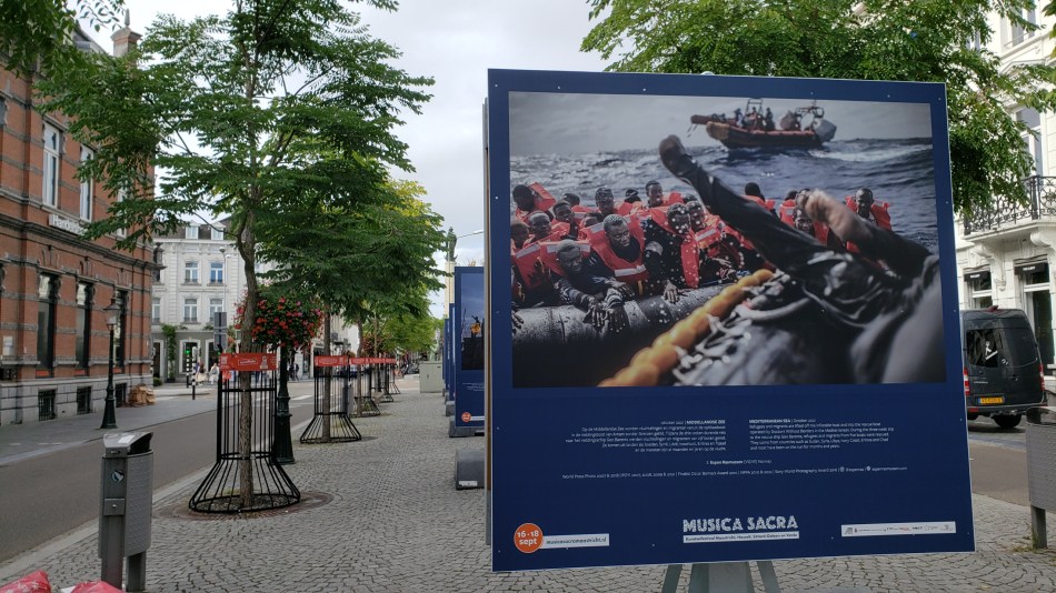
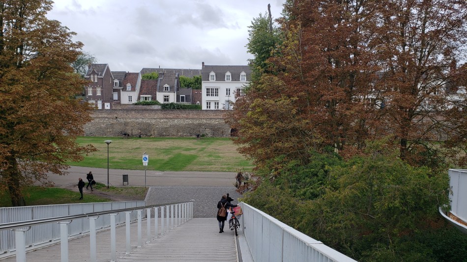
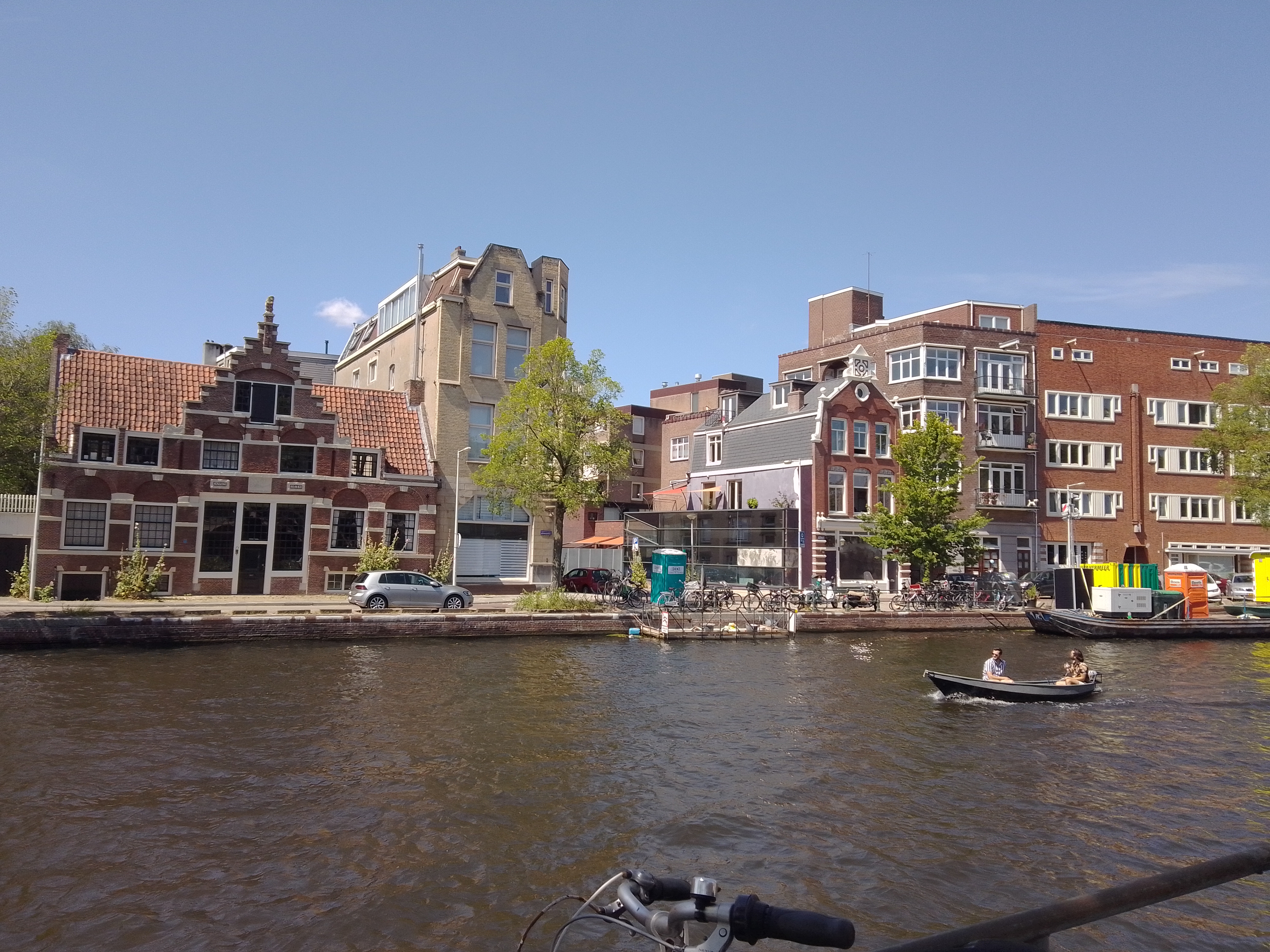
Also tucked into the gallery above is an image from inside that lovely hotel which we also showed you in another earlier Maastricht post, showing the stairs up to the restaurant from the lobby, all of which are within the soaring hall of the old cloister’s church. Remarkable place to have breakfast or a drink (the bar is at the back on the ground floor as you look at it) – thanks for the treat, Steve :-). Below: photo exhibit on my walk back to the train station about people on the move in the world, and I decided to photograph the one that shows one of MSF’s search and rescue boats at work. Below that, those city walks I keep mentioning :-), as seen from the foot and bike bridge over the Maas.
Urban Garden.113

Urban Canals.100


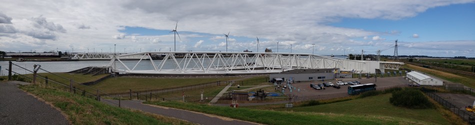
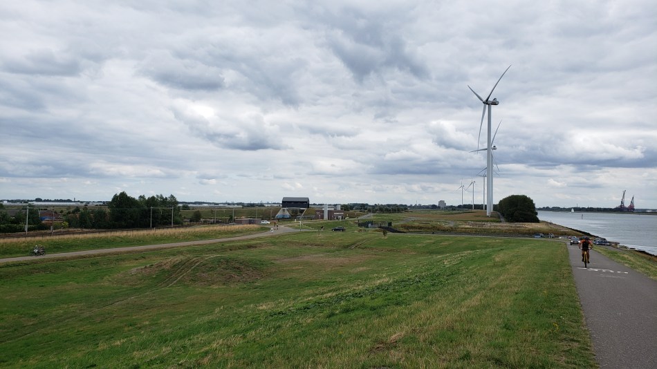
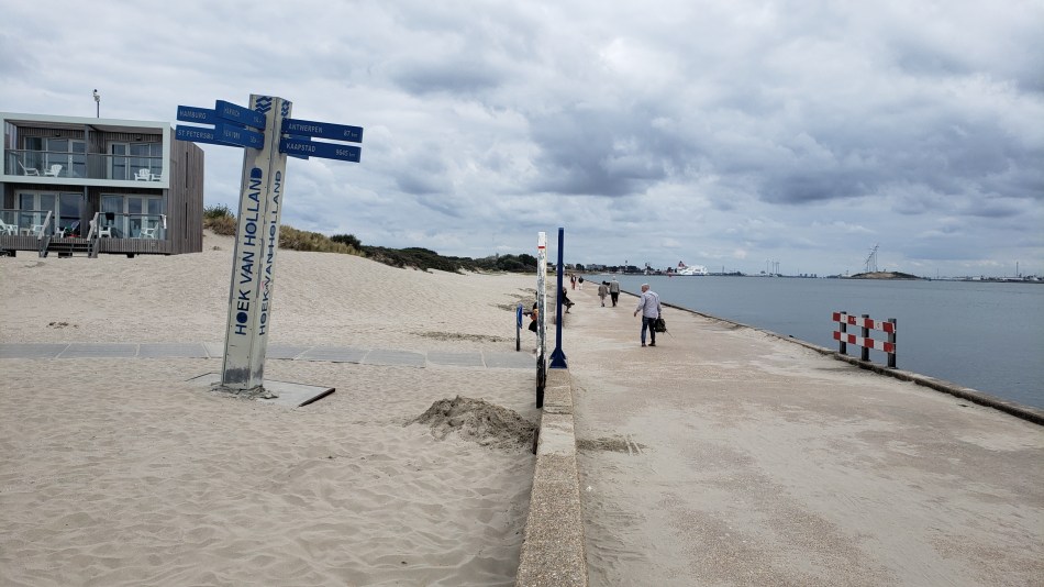
Behold one of the largest moving structures in the world: the maeslantkering. I figured this would make a suitable entry for the 100th time I’ve posted this city / urban canal series. (Turns out when I first started, just after moving here in July ’21, I was calling it City Canals, to counterbalance a series I hoped to start that I still call Country Canals….and then at some point without noticing I just morphed it into Urban Canals. Sorry…) Anyhoo: this is, I think, technically within the municipality of Rotterdam but as you see it’s heavily industrial, not residential or commercial. For more on those parts of Rotterdam, check out for example this post.) We’re within a kilometer or so of the Hook of Holland, where the largest channel of the Rhine Delta meets the North Sea, and this large white structure is a movable storm-surge barrier intended to protect the city and inner port of Rotterdam. The outer port, where the hugest container ships dock, is behind the windmills you see in the panoramic photo just above, on south side of the river, in the Europoort Rotterdam and the Maasvlakte Rotterdam. I’ve bothered to learn all this partly because I’m just a geek and it fascinates me what the Dutch do with water and rivers, and partly because I read Neal Stephenson’s latest speculative-fiction novel during my multi-week visit to Myanmar, so when I landed back in NL and the guy I’m currently stepping out with suggested we drive the beach somewhere, I said “let’s go see the Maeslantkering!” (He has a car, I don’t, and really the best way to get there from A’dam is in fact by car, although there are public transit and bike methods, this being NL, after all…) And just to give you more sense of the general surroundings (good example of Dutch urban planning, what with artificial mountain-bike courses e.g. the small part below where I saw classes of kids being taught, canals, bike paths, etc. all snugged up against one of the largest ports and busiest shipping channels in the world), a bunch of other photos from the Hook of Holland and the immediate surroundings of the maeslanterking, below. (Yes, wiki has a nice piece about this structure for you fellow geeks out there. And yes, I finally donated today, recognizing that I’d be lost without wiki by this point.)


Urban Garden.110