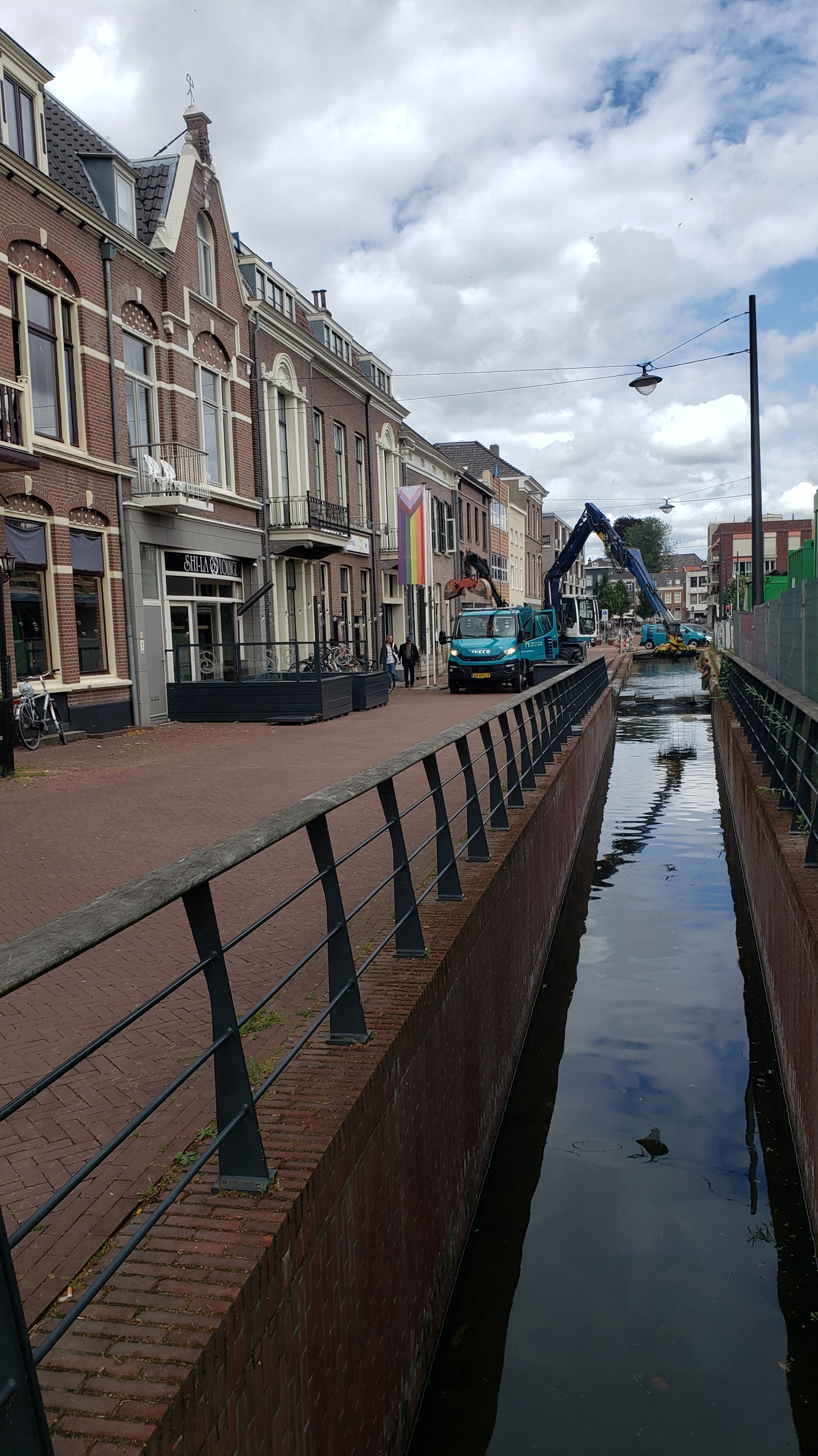
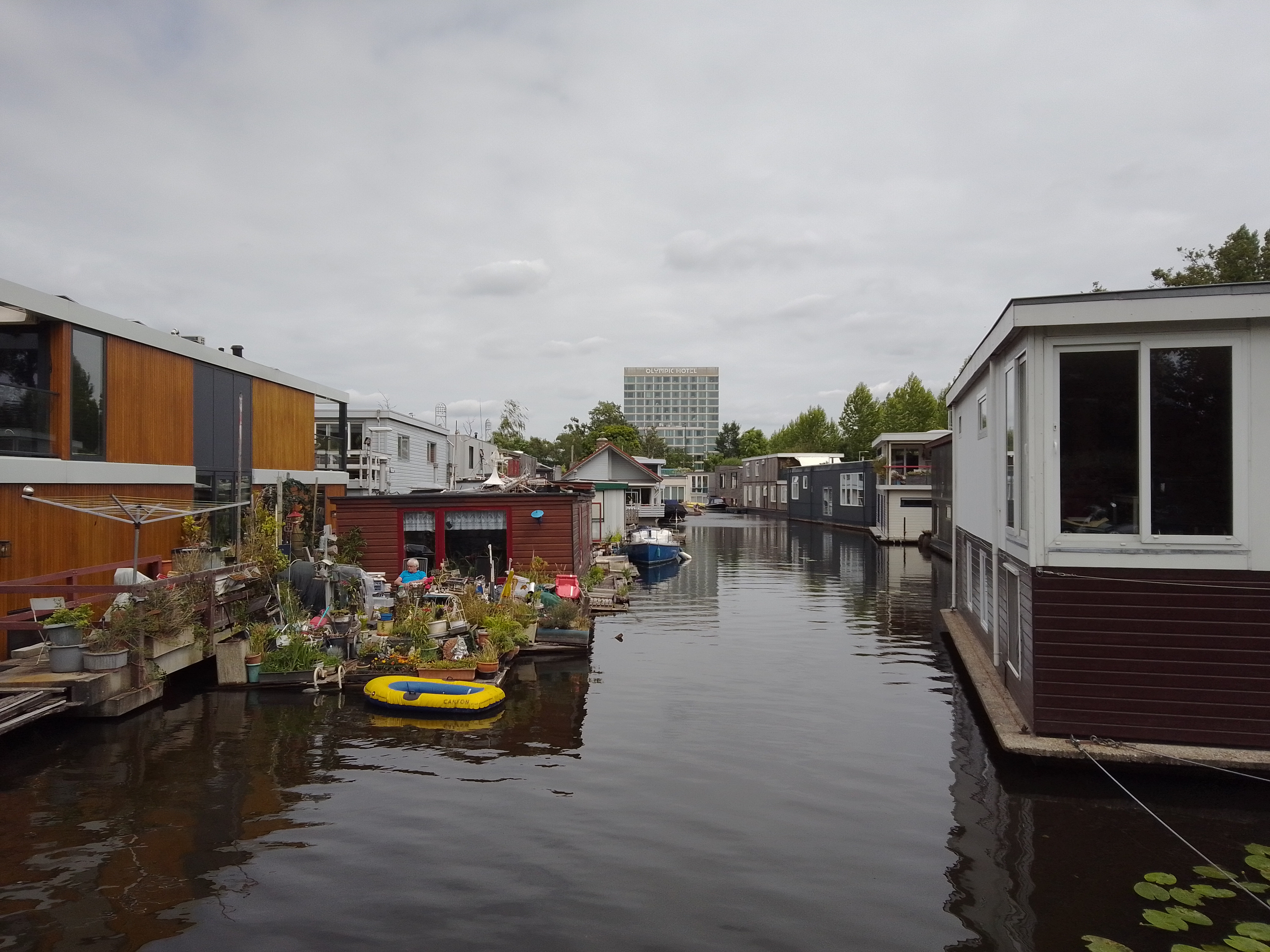
Urban Canals.100


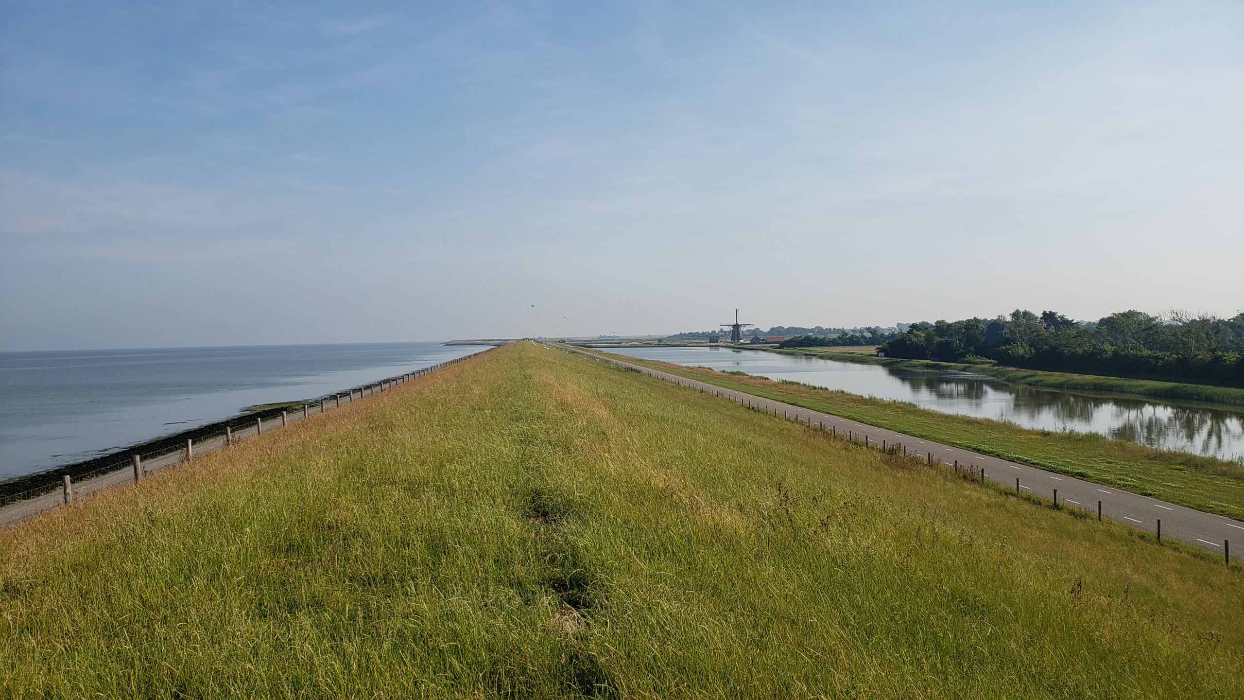
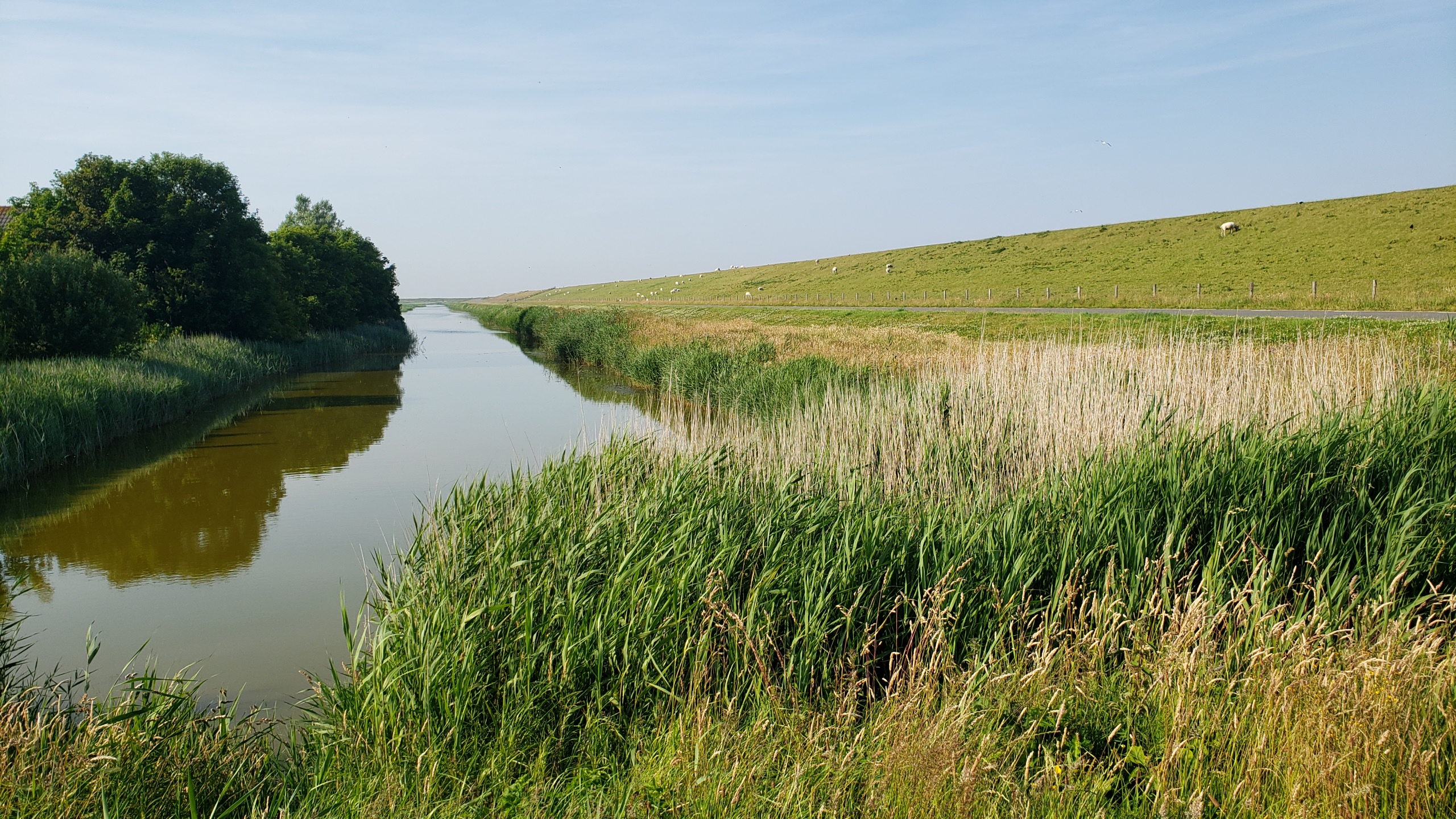
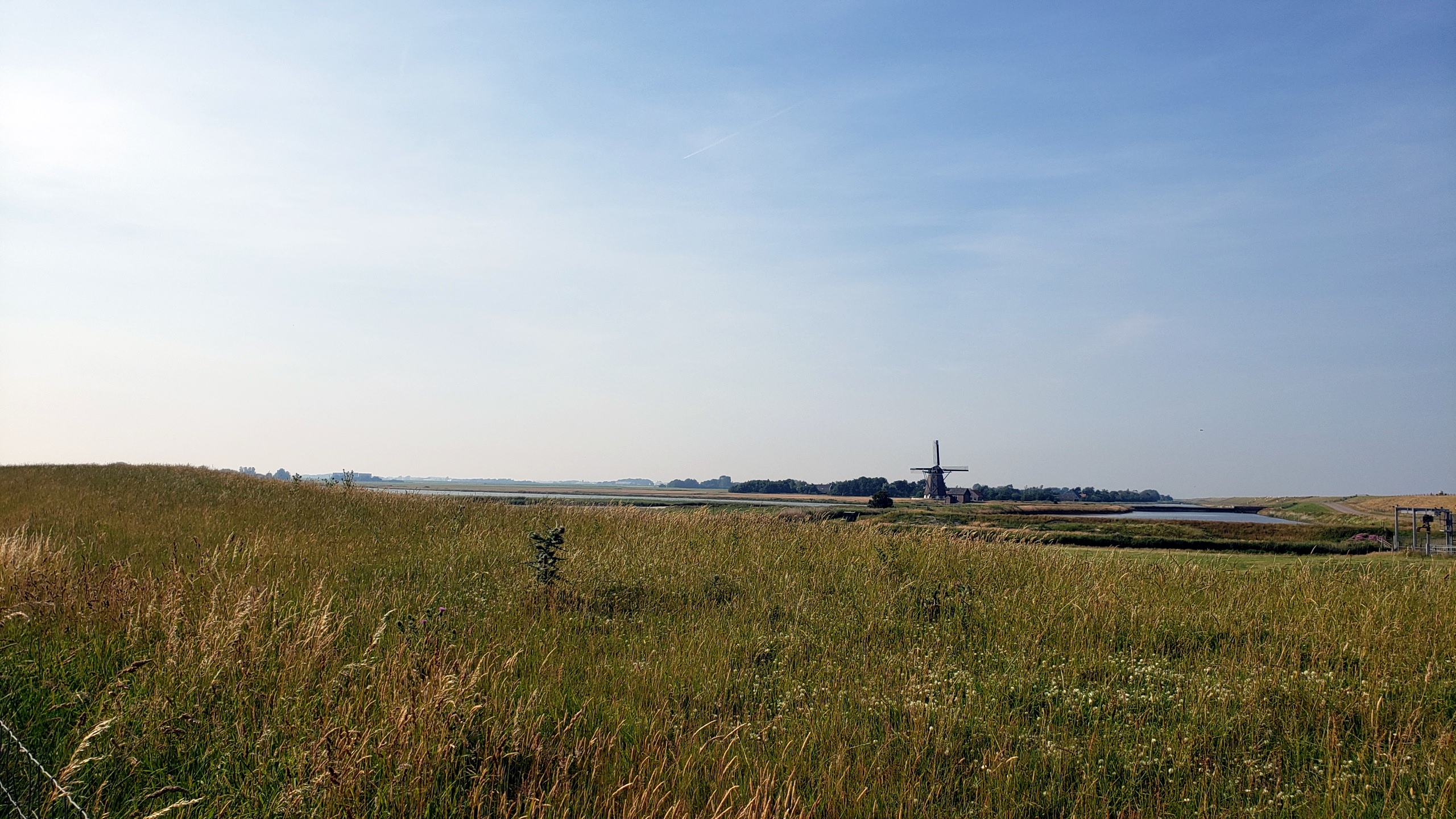
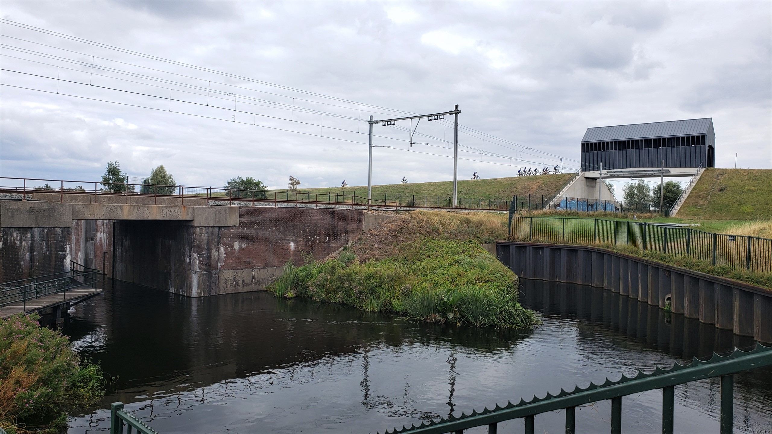
Behold one of the largest moving structures in the world: the maeslantkering. I figured this would make a suitable entry for the 100th time I’ve posted this city / urban canal series. (Turns out when I first started, just after moving here in July ’21, I was calling it City Canals, to counterbalance a series I hoped to start that I still call Country Canals….and then at some point without noticing I just morphed it into Urban Canals. Sorry…) Anyhoo: this is, I think, technically within the municipality of Rotterdam but as you see it’s heavily industrial, not residential or commercial. For more on those parts of Rotterdam, check out for example this post.) We’re within a kilometer or so of the Hook of Holland, where the largest channel of the Rhine Delta meets the North Sea, and this large white structure is a movable storm-surge barrier intended to protect the city and inner port of Rotterdam. The outer port, where the hugest container ships dock, is behind the windmills you see in the panoramic photo just above, on south side of the river, in the Europoort Rotterdam and the Maasvlakte Rotterdam. I’ve bothered to learn all this partly because I’m just a geek and it fascinates me what the Dutch do with water and rivers, and partly because I read Neal Stephenson’s latest speculative-fiction novel during my multi-week visit to Myanmar, so when I landed back in NL and the guy I’m currently stepping out with suggested we drive the beach somewhere, I said “let’s go see the Maeslantkering!” (He has a car, I don’t, and really the best way to get there from A’dam is in fact by car, although there are public transit and bike methods, this being NL, after all…) And just to give you more sense of the general surroundings (good example of Dutch urban planning, what with artificial mountain-bike courses e.g. the small part below where I saw classes of kids being taught, canals, bike paths, etc. all snugged up against one of the largest ports and busiest shipping channels in the world), a bunch of other photos from the Hook of Holland and the immediate surroundings of the maeslanterking, below. (Yes, wiki has a nice piece about this structure for you fellow geeks out there. And yes, I finally donated today, recognizing that I’d be lost without wiki by this point.)


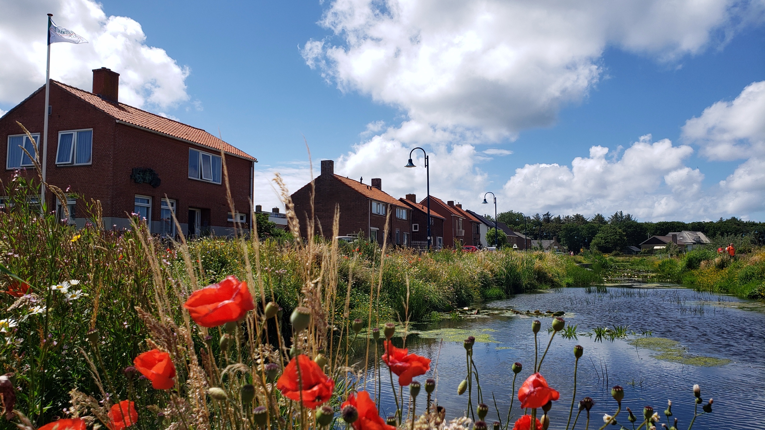
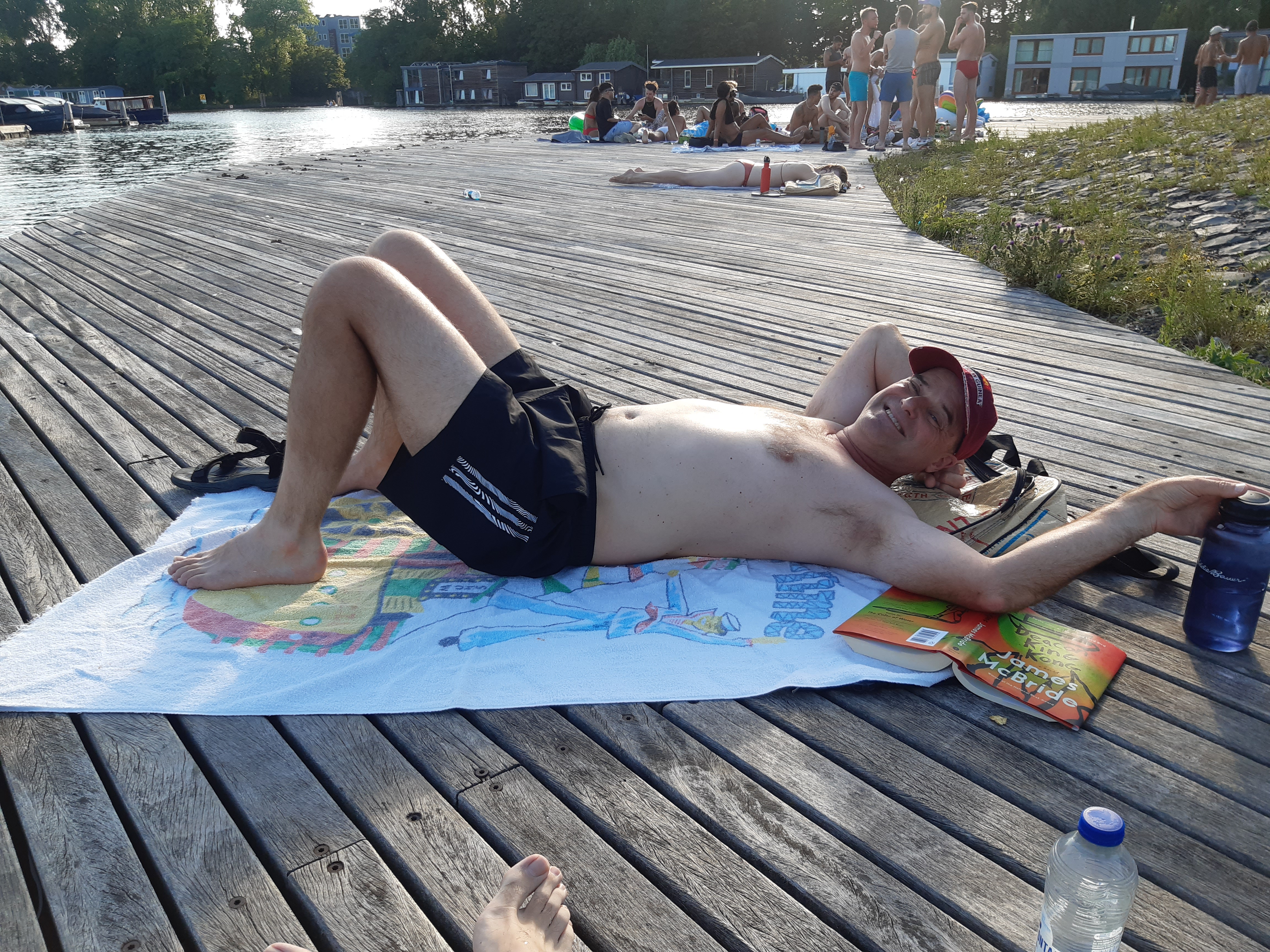
Urban Garden.110
Village Views.26
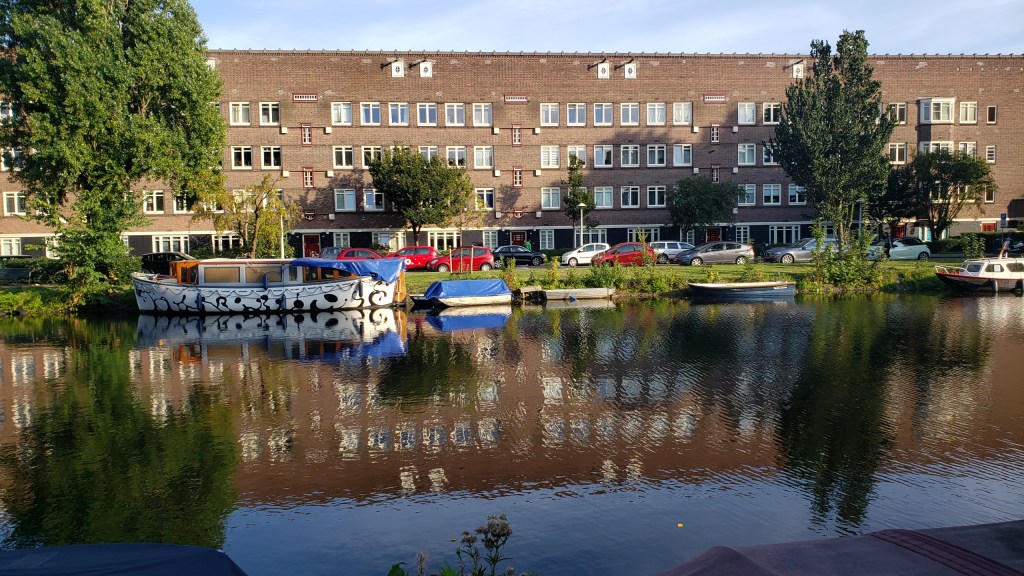
Urban Canals.96

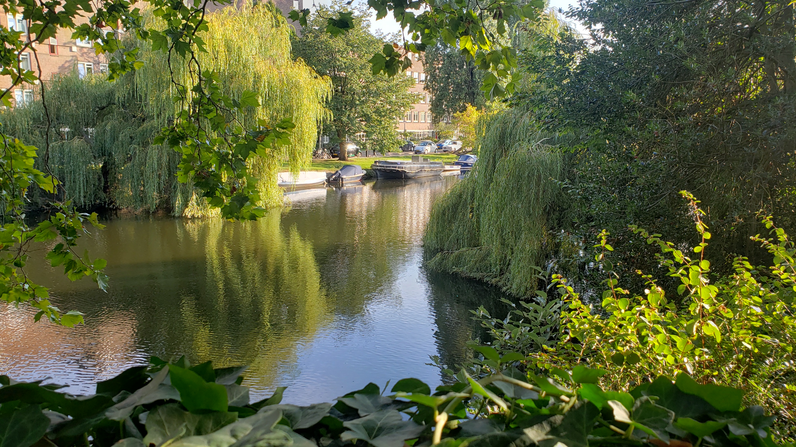
Urban Canals.94

Compare the river traffic in yesterday’s post and today’s. This is the Nederrijn (“lower Rhine”) at Arnhem, just some 15km north of Nijmegen. My working hypothesis is the Dutch generally channel passenger boats and river cruises into this branch of the Rhine, versus commercial freight traffic onto the much larger Waal.
Fun-sad fact: in late 1944, the allies held (most of?) Belgium and areas of NL to the south of the Waal, at least this far east. Meaning allies held Nijmegen; Germans still held Arnhem, with no-one’s-land between. The rounded building with windows on the left is a fine museum commemorating and documenting a (individually) valiant but (tactically) disastrous effort in September 1944 to liberate Arnhem and free the road for an earlier advance on Berlin. One outcome of this failed operation was the premature exposure of many Dutch resistance fighters. Another was the (German-)forced mass evacuation of Arnhem – in winter – and the destruction of the bridge here, which is now named in commemoration of the British commander who tried valiantly but without success to hold the bridge for the allies.
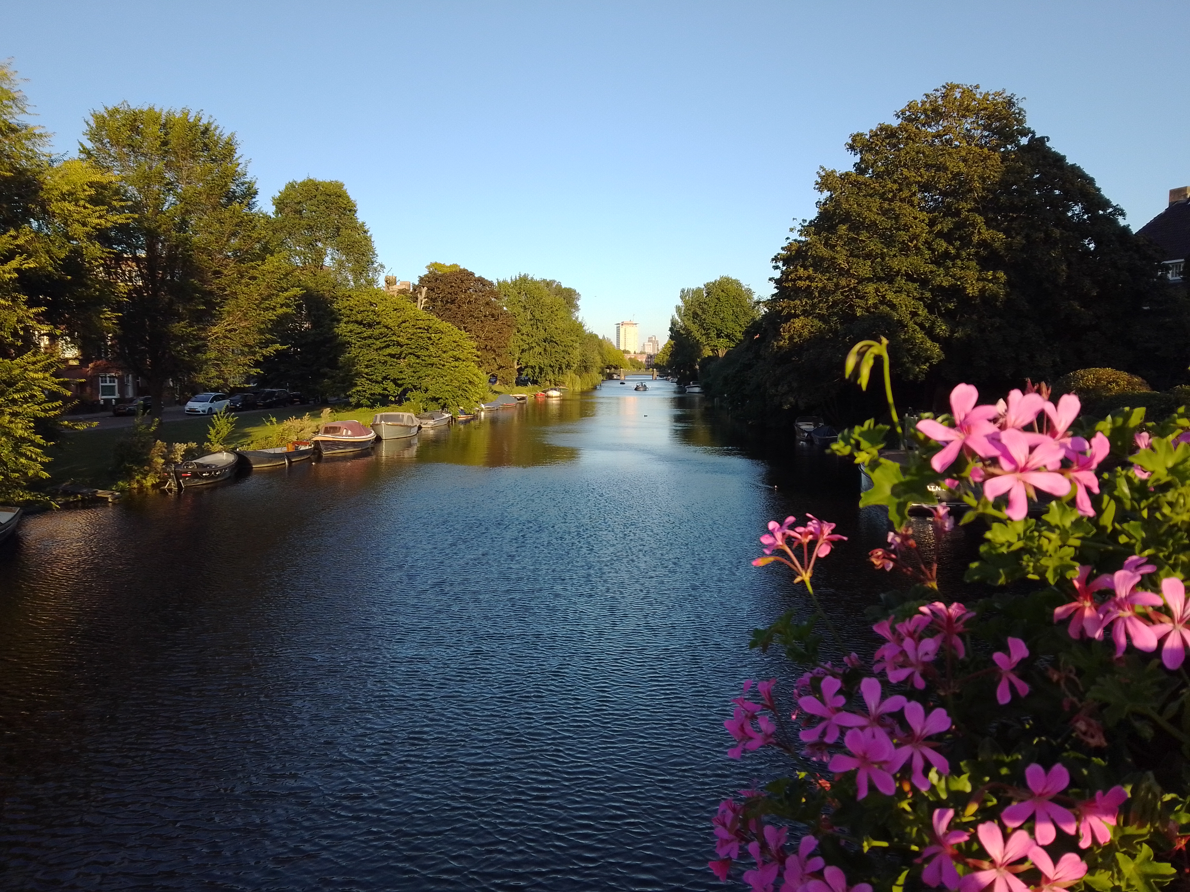
Urban Canals.93
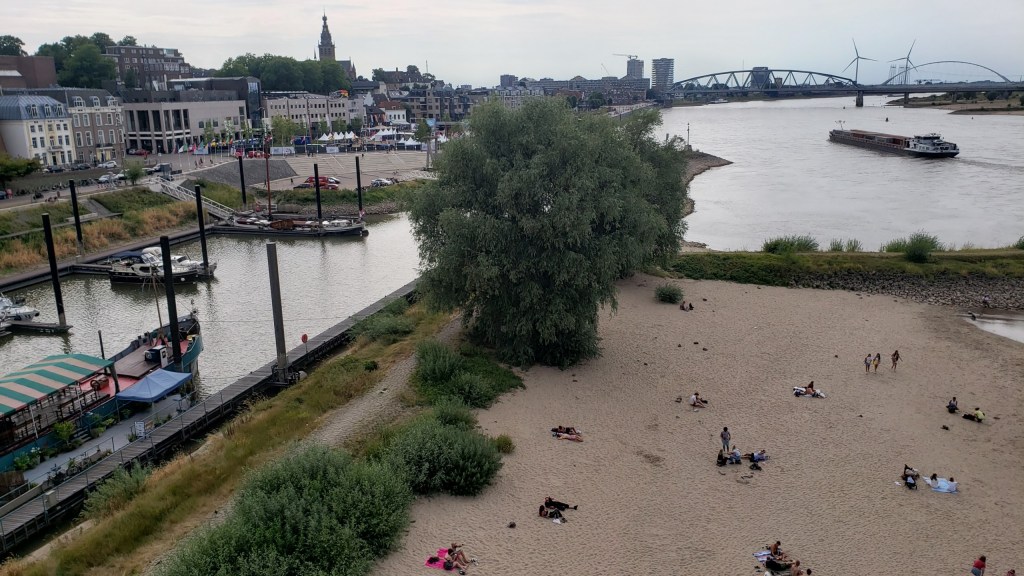
Fun fact: what you see right here was the northernmost edge of the Roman empire for some few hundred years, after they gave up trying to take even more territory away from the Germanic tribes still resisting on the other side of the Rhine.

Urban Canals.91

Country Canals.21