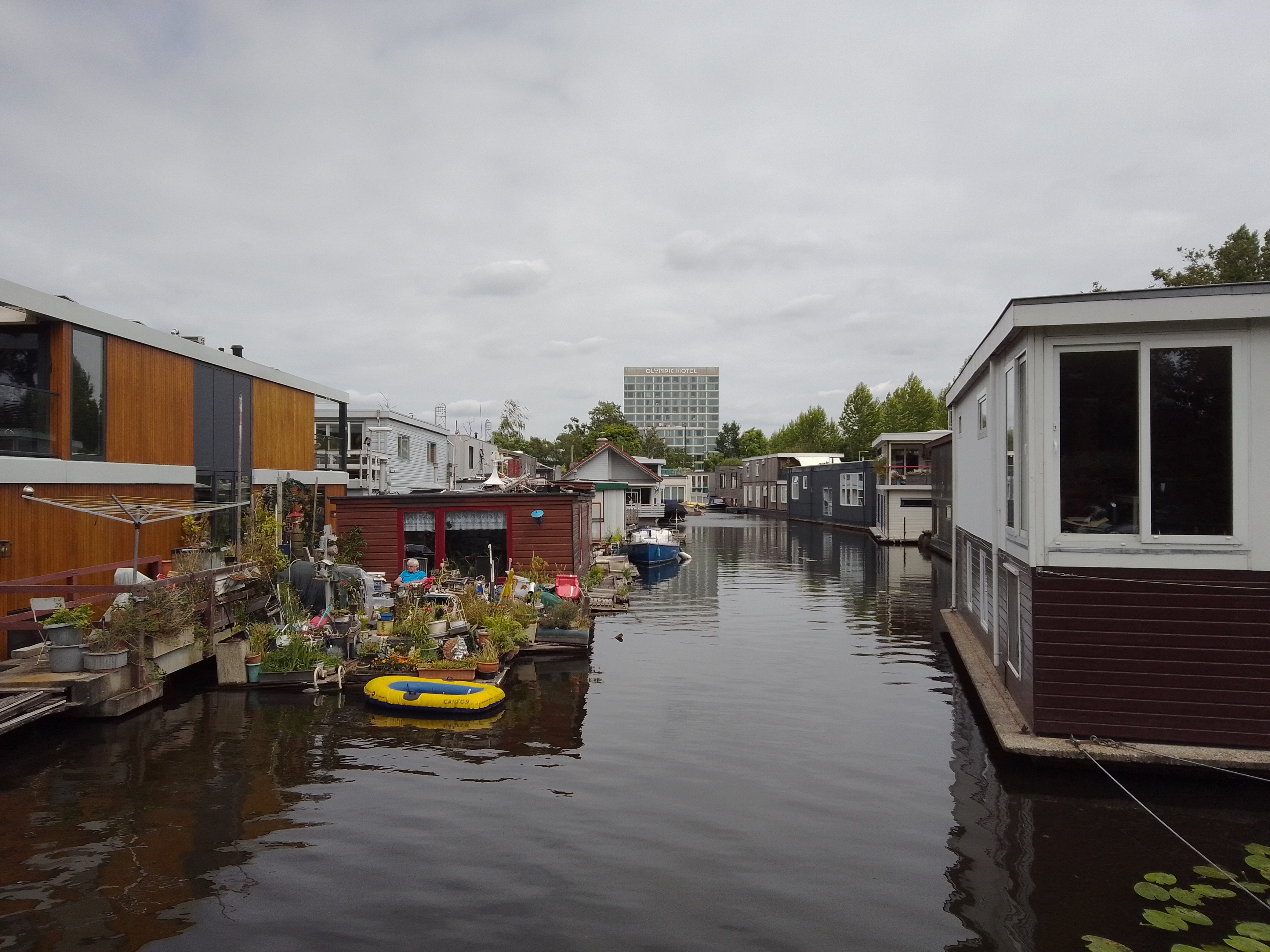
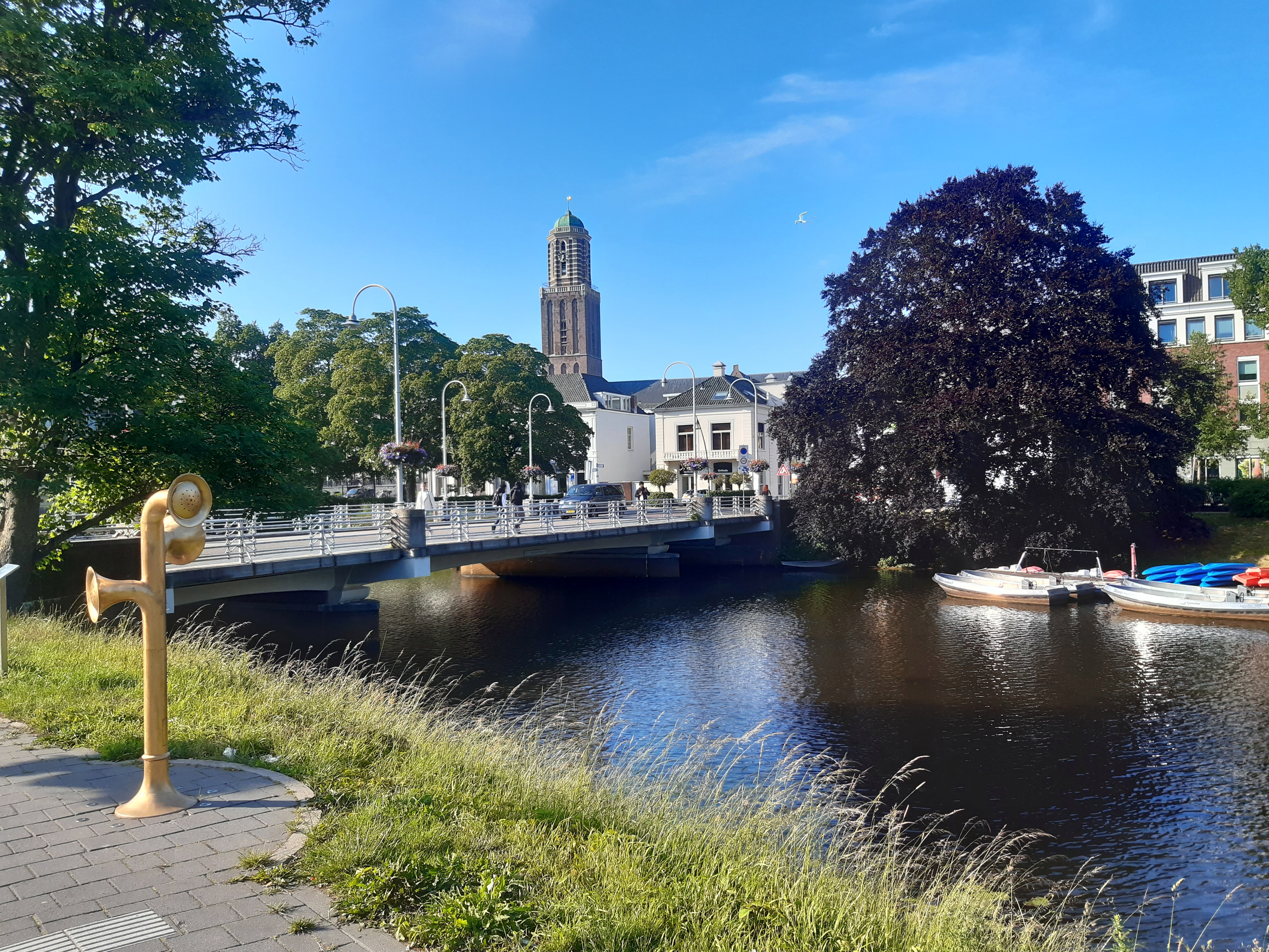
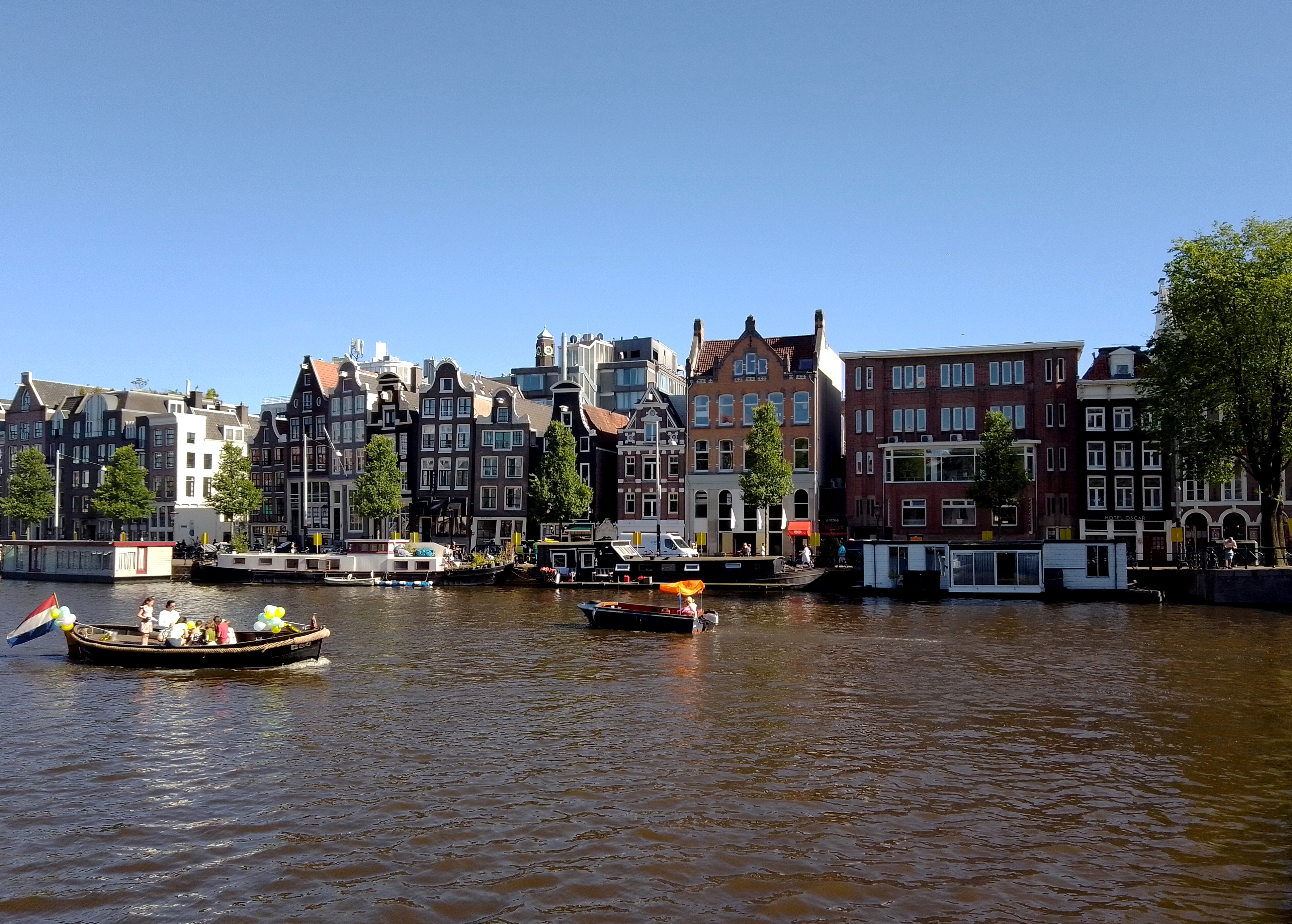
Compare the river traffic in yesterday’s post and today’s. This is the Nederrijn (“lower Rhine”) at Arnhem, just some 15km north of Nijmegen. My working hypothesis is the Dutch generally channel passenger boats and river cruises into this branch of the Rhine, versus commercial freight traffic onto the much larger Waal.
Fun-sad fact: in late 1944, the allies held (most of?) Belgium and areas of NL to the south of the Waal, at least this far east. Meaning allies held Nijmegen; Germans still held Arnhem, with no-one’s-land between. The rounded building with windows on the left is a fine museum commemorating and documenting a (individually) valiant but (tactically) disastrous effort in September 1944 to liberate Arnhem and free the road for an earlier advance on Berlin. One outcome of this failed operation was the premature exposure of many Dutch resistance fighters. Another was the (German-)forced mass evacuation of Arnhem – in winter – and the destruction of the bridge here, which is now named in commemoration of the British commander who tried valiantly but without success to hold the bridge for the allies.
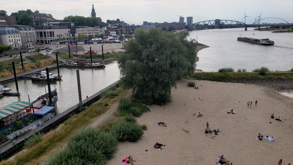
The Waal at Nijmegen, which carries more than half the water which enters NL when the Rhine comes in from Germany. I’ve heard the Rhine in DE is now at dangerously low levels for commerce, and I’m sure the Rhine’s various branches are also lower than normal in NL The Dutch being the engineers of water that they are, though, I somehow assume they’re opening and closing flow controls to sustain volume in the various branches at viable levels for as long as possible.
Fun fact: what you see right here was the northernmost edge of the Roman empire for some few hundred years, after they gave up trying to take even more territory away from the Germanic tribes still resisting on the other side of the Rhine.
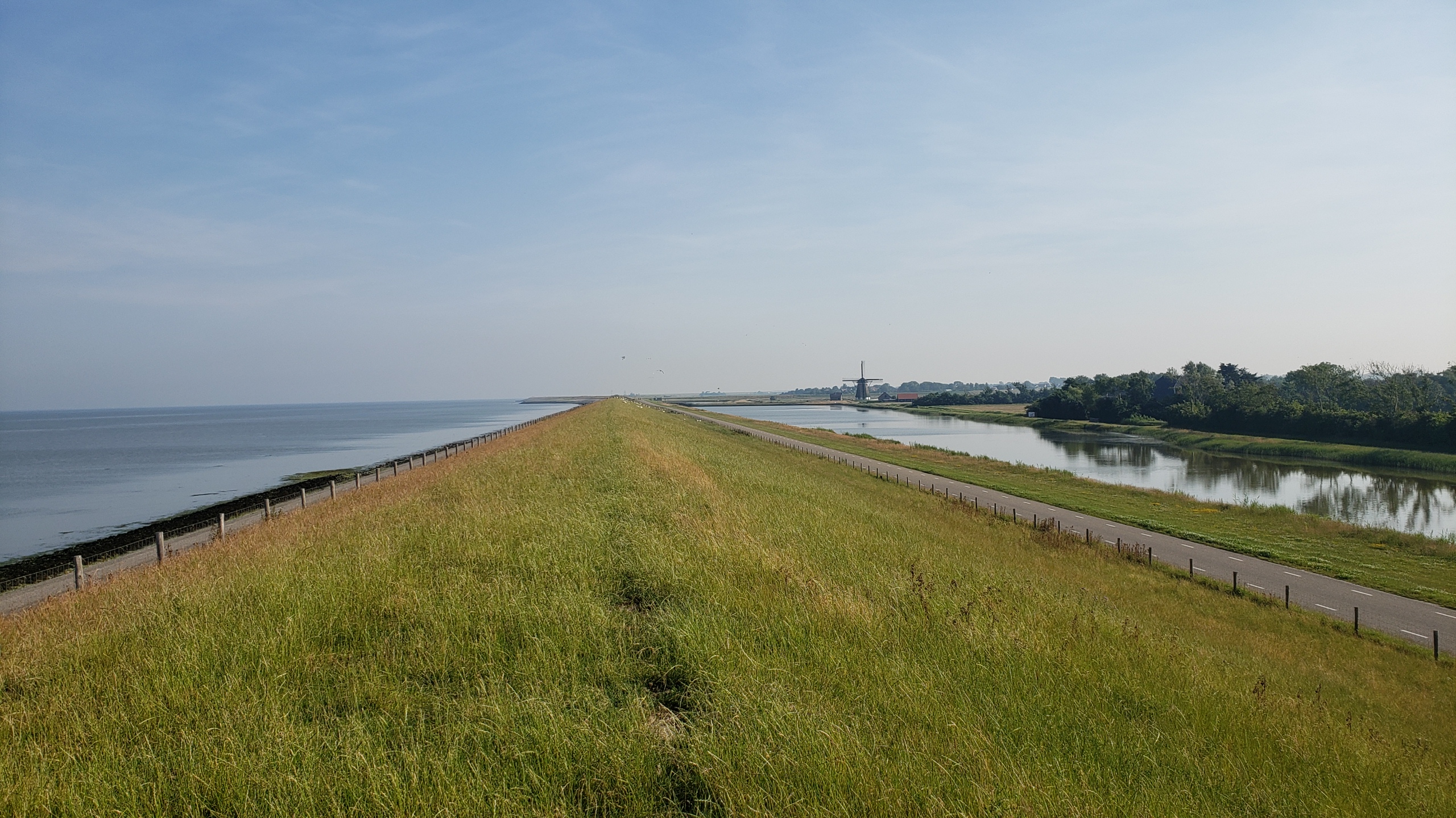
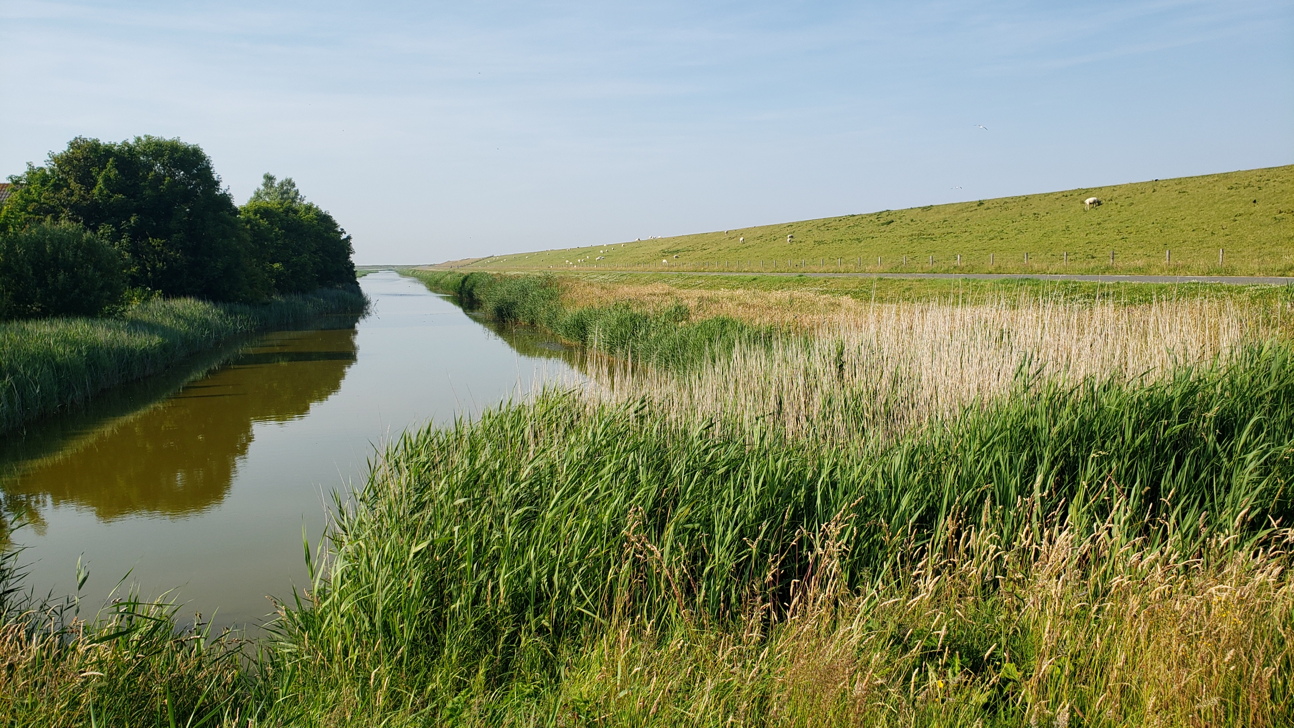
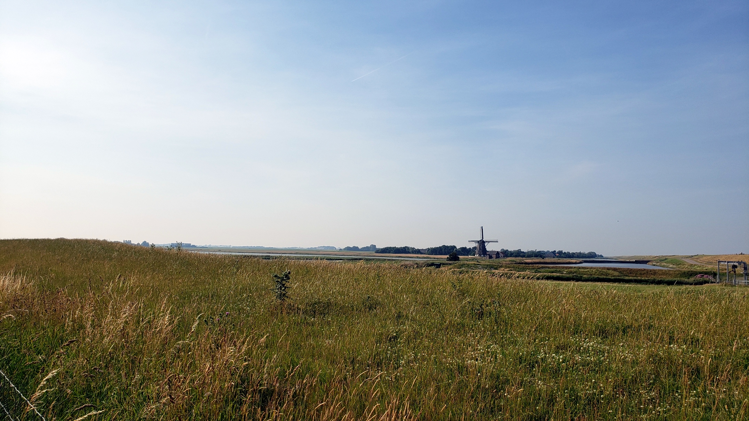
This is the dike about which my brother Steve asked me in a recent post. To the right is an inland (country) canal, to the left what I believe can already be called the Wattenmeer or Wadden Sea here, although most folks think of it as being much further east. Texel is the westernmost of the many Frisian islands which collectively – I believe? – form the outer boundary of the Wattenmeer. Correct me in a comment if I’m wrong, someone, please. This dike runs most of the length of the eastern edge of Texel, where natural dunes aren’t as prevalent as they are on the western (much windier!) side. The road – also named Lancasterdijk – runs up nearly to de Cocksdorp, which you’ll see again from this vantage point in our next post :-).
More photos from lovely Zwolle, two which we introduced you in an earlier post. The Upright yellow contraption in the photo on the left was some form of audio-art installation whose details and sounds I’ve forgotten; the unusual roof in the photo on the right belongs the main museum in town, a photo of which in its entirety you will see in an upcoming post quite soon, I promise.
Both taken along the Amstel by where the Dutch National Ballet & Opera company are housed in the same building as City Hall. The one below taken from a balcony during intermission of an evening (yes – summer in the north) ballet performance.