Mountains.38
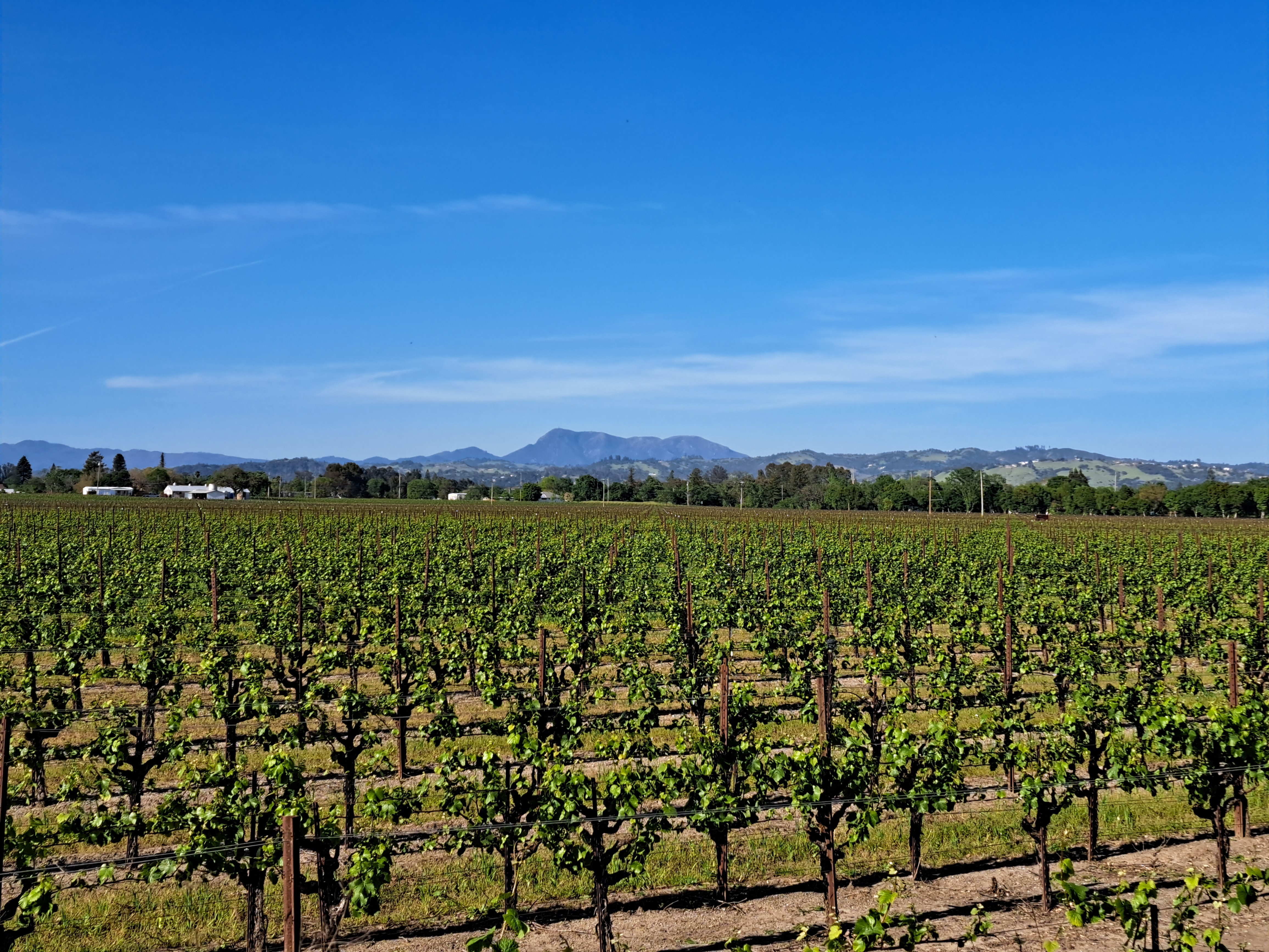
 In this case, really one mountain – Mt St Helena. This mountain of volcanic origin has several peaks, the highest of which reaches 4,342 ft (1,323 m) in Sonoma County – other peaks are in Napa and Lake Counties. It’s also the highest peak in the bay area, which includes all the counties bordering SF Bay. You’ve seen it often before when I was still based in Santa Rosa, but I devoted more time to contemplating it on this last trip and am sharing my favorite photos of it in various moods and lights here. It’s easily recognizable and always fun to contemplate at all times of day, from many perspectives.


County Views.84
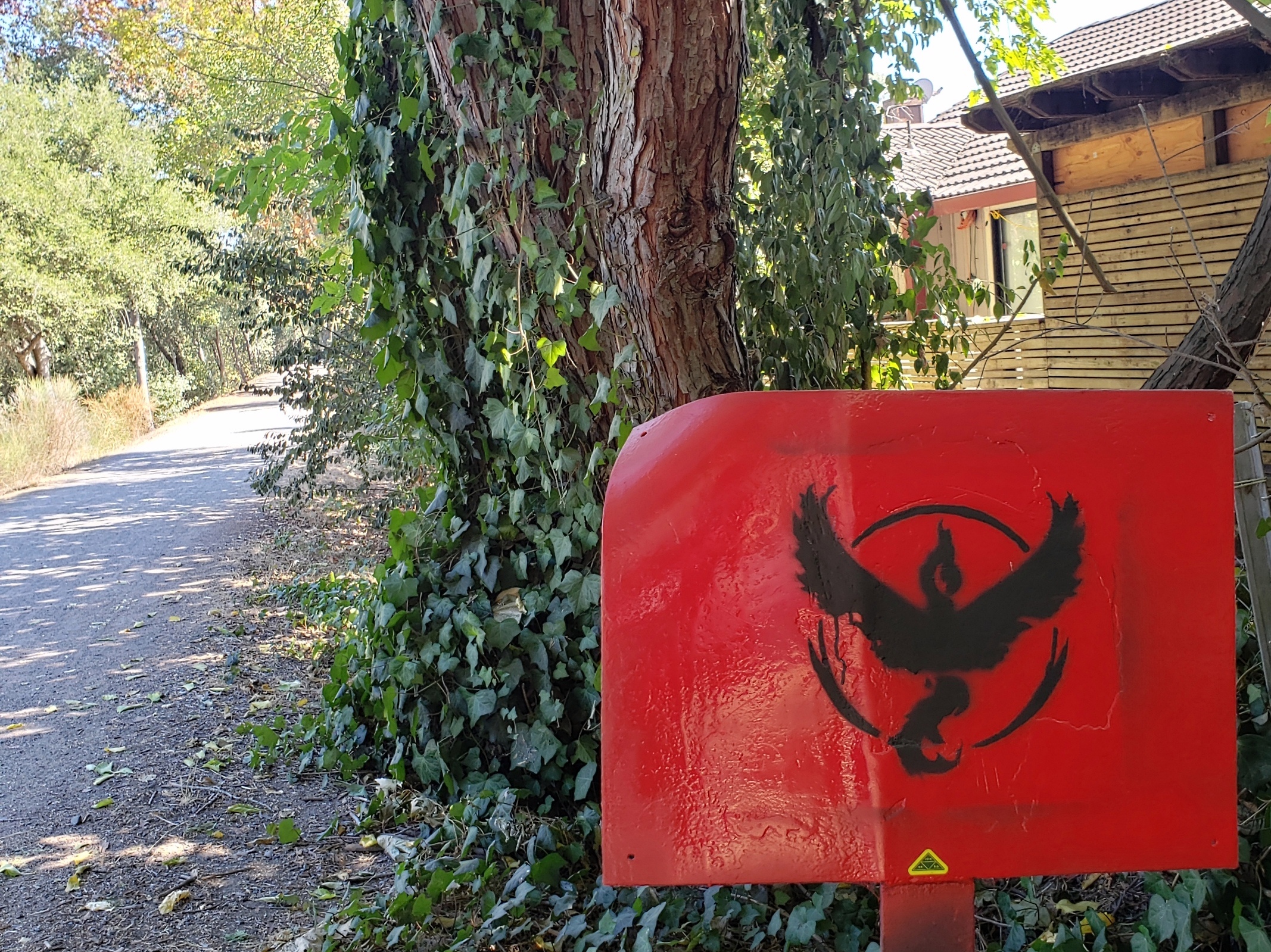
Apparently it’s a Pokemon Go team logo. Who knew? Not I, until Sam enlightened me. 🙂 Team spirit, alive in the world?


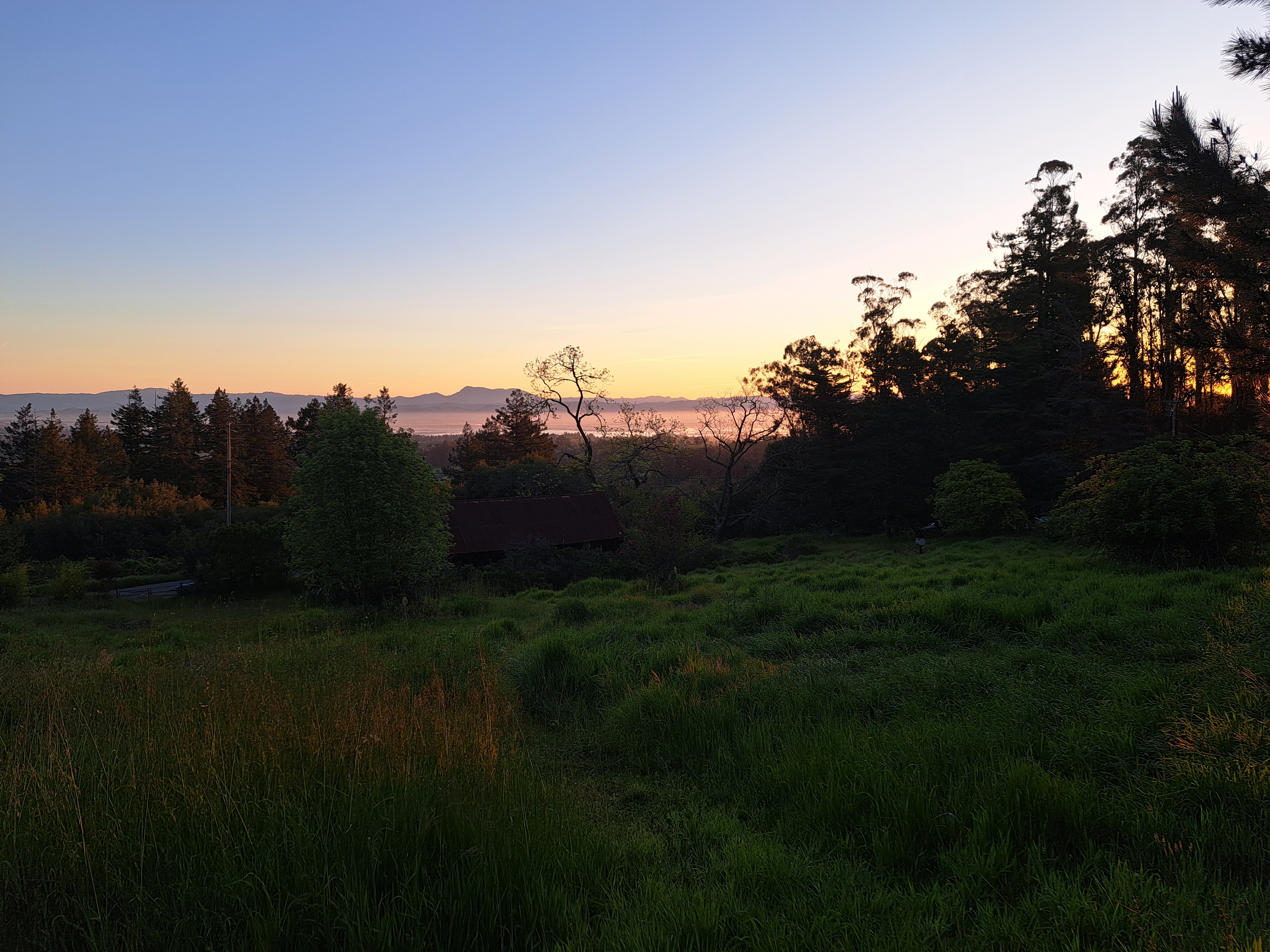
County Views Special: Mt St Helena
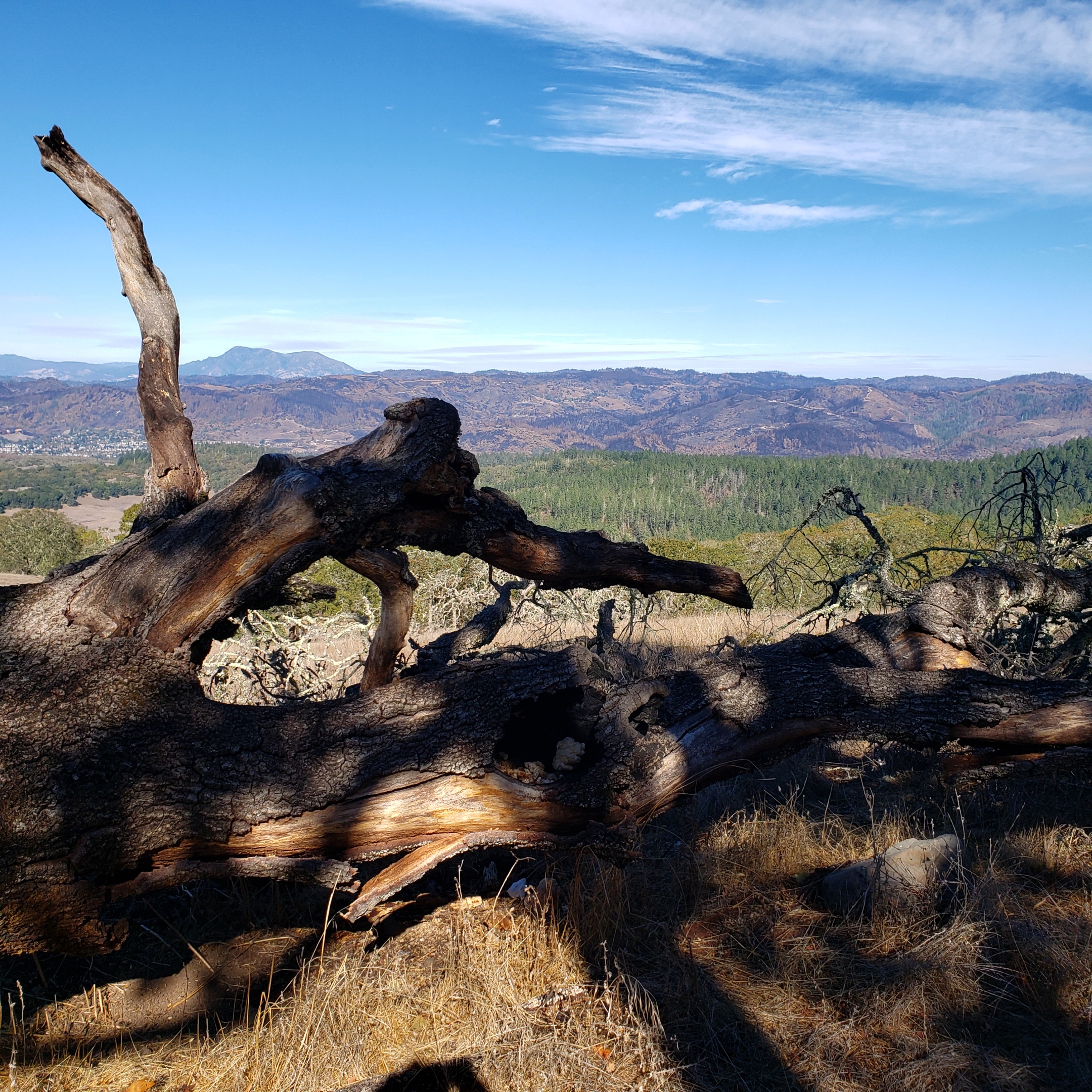
Consider this something like a special edition of Beauty & The Burn, and County Views combined. People who’ve heard of our region’s wine country are most likely to know the name Napa, and possibly the name Sonoma. Before 2017, folks mostly thought of this region for its wines, if they thought of it at all. Since then, well, you know we’ve had more and bigger fires than anyone had seen in recorded history thanks to, you guessed it, climate change and our greedy society’s stubborn inability to reimagine life without the burning of fossil fuels. Locally, when we meet someone new and they say they’re from xx or yy location, it’s reasonably common to ask – when relevant given where they live – “did you and your family do ok in the Glass / Nunns / Tubbs / Walbridge fire?”
The most recent of those four was the Glass Fire, which started on the Napa County side of the (twice-burned) ridge you see above, then burned its destructive way over onto the Sonoma County side. The fire crews worked hard to keep it from burning all of Mt St Helena. You can see this dramatic mountain in every picture in this post. It’s the core of Robert Louis Stevenson State Park, has five different peaks, and straddles both Napa and Sonoma Counties as well as Lake County, at the point where all three counties meet. Its highest peak is also the highest point in Sonoma County at 4,342 feet above sea level; another of its peaks is the highest point in Napa County. Once I get far enough away from our local ridge (in which the highest point is Mt Hood at 2730 feet above sea level) to see past it, Mt St Helena’s profile is quite visible. In case you didn’t guess, it’s volcanic in origin although it’s not an actual volcano, just uplifted rocks from a 2.4-million-year-old volcanic field.