
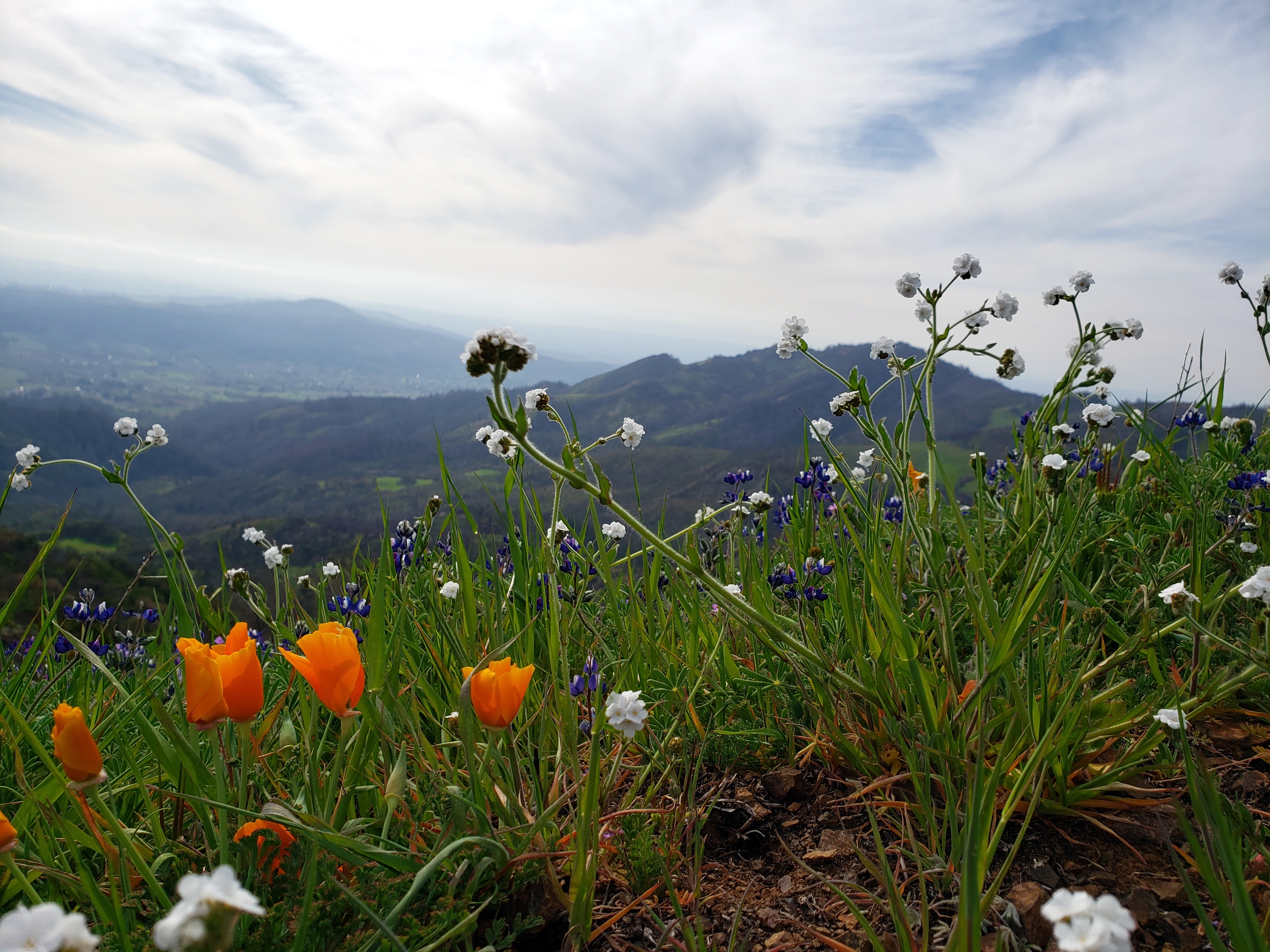
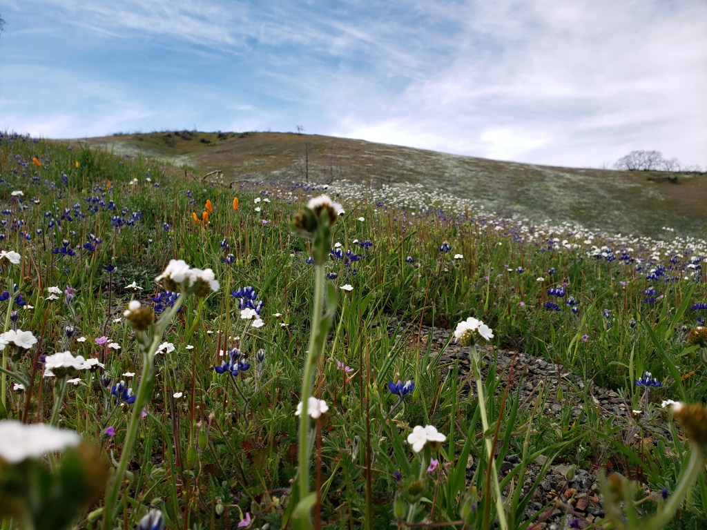
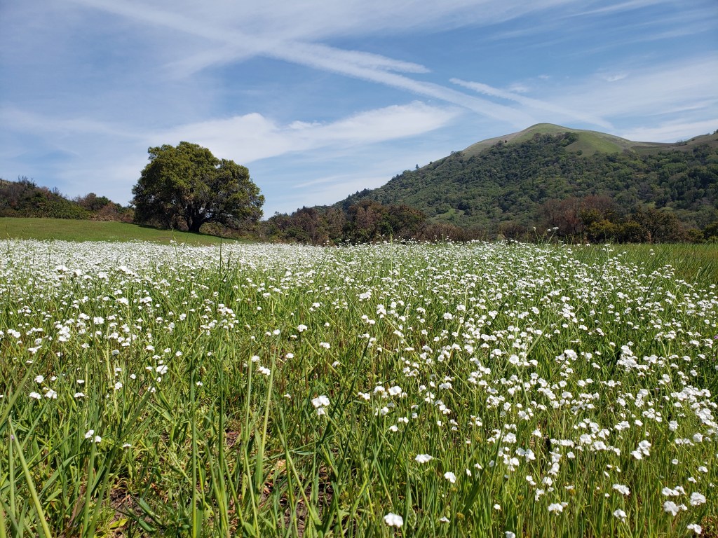
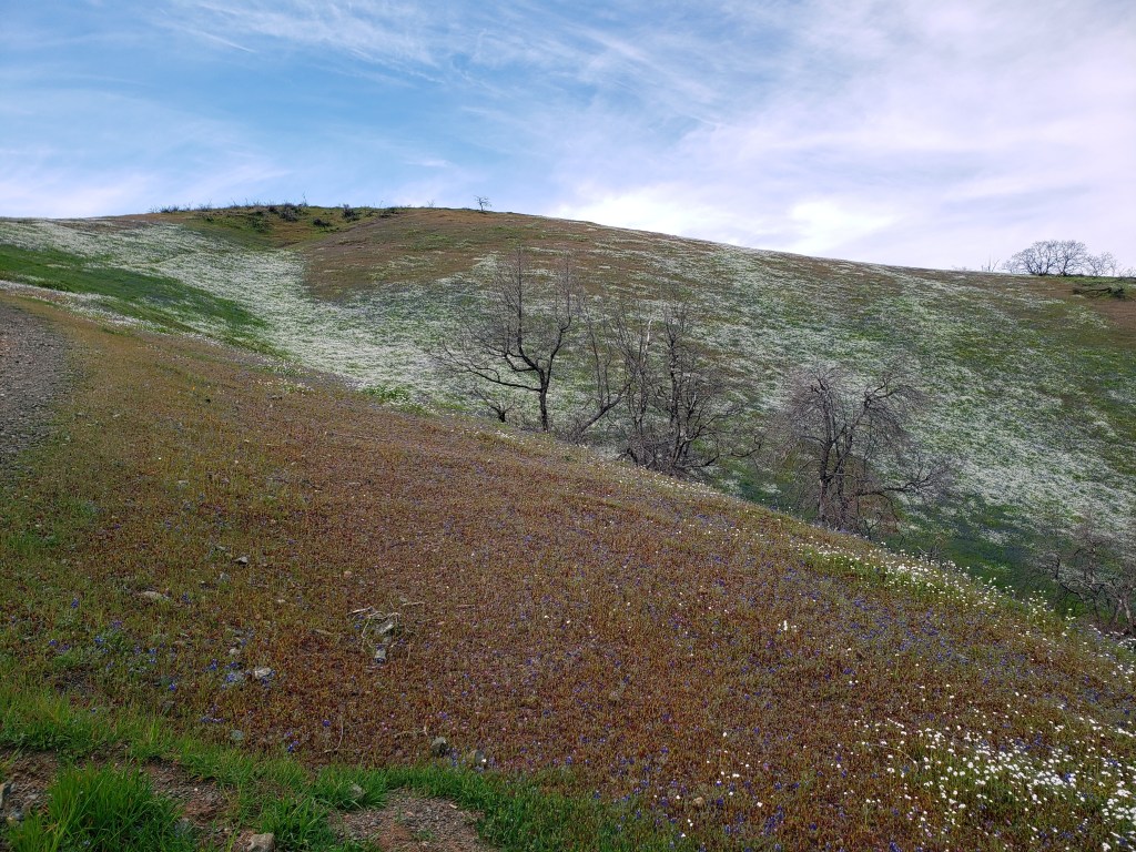
County Views.103 – Wet & Dry #1
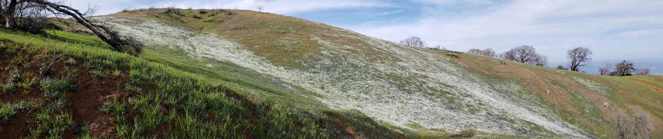


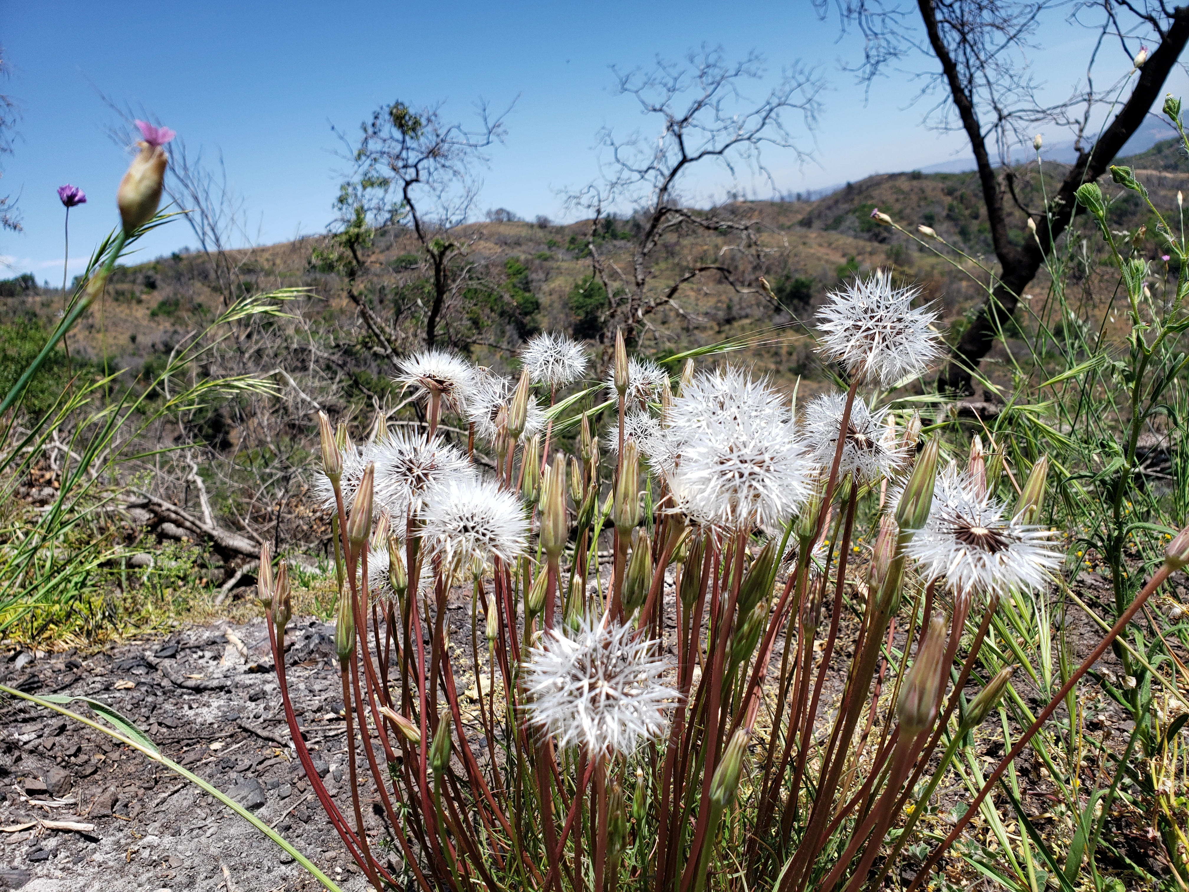
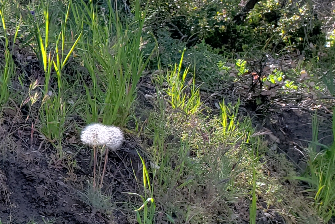
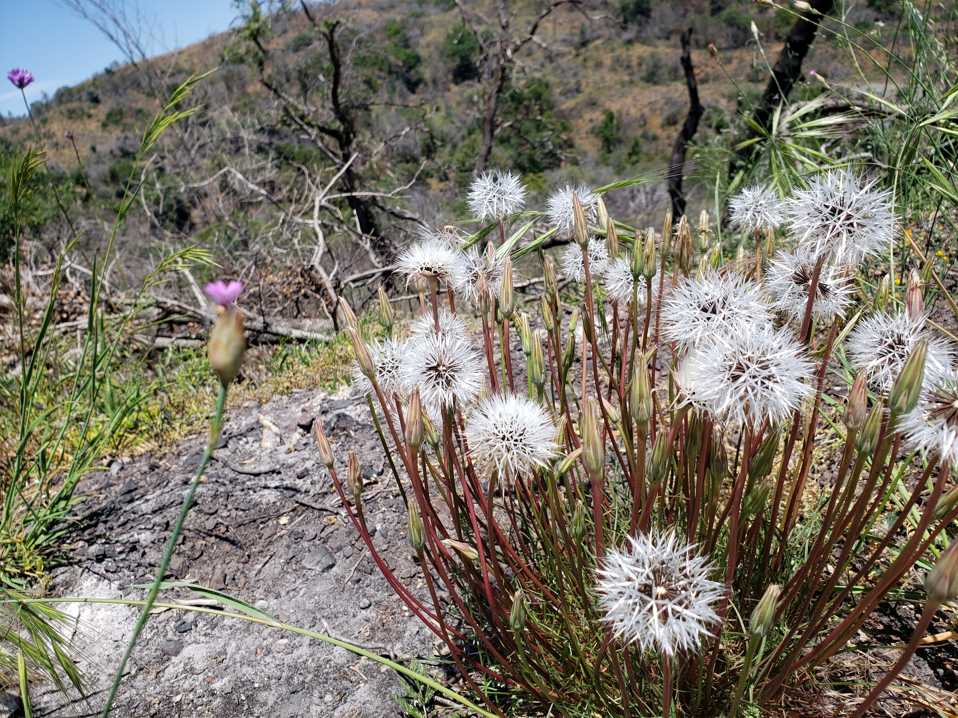
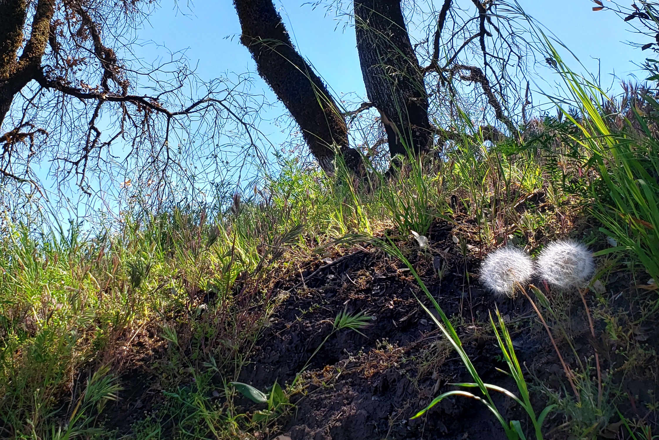
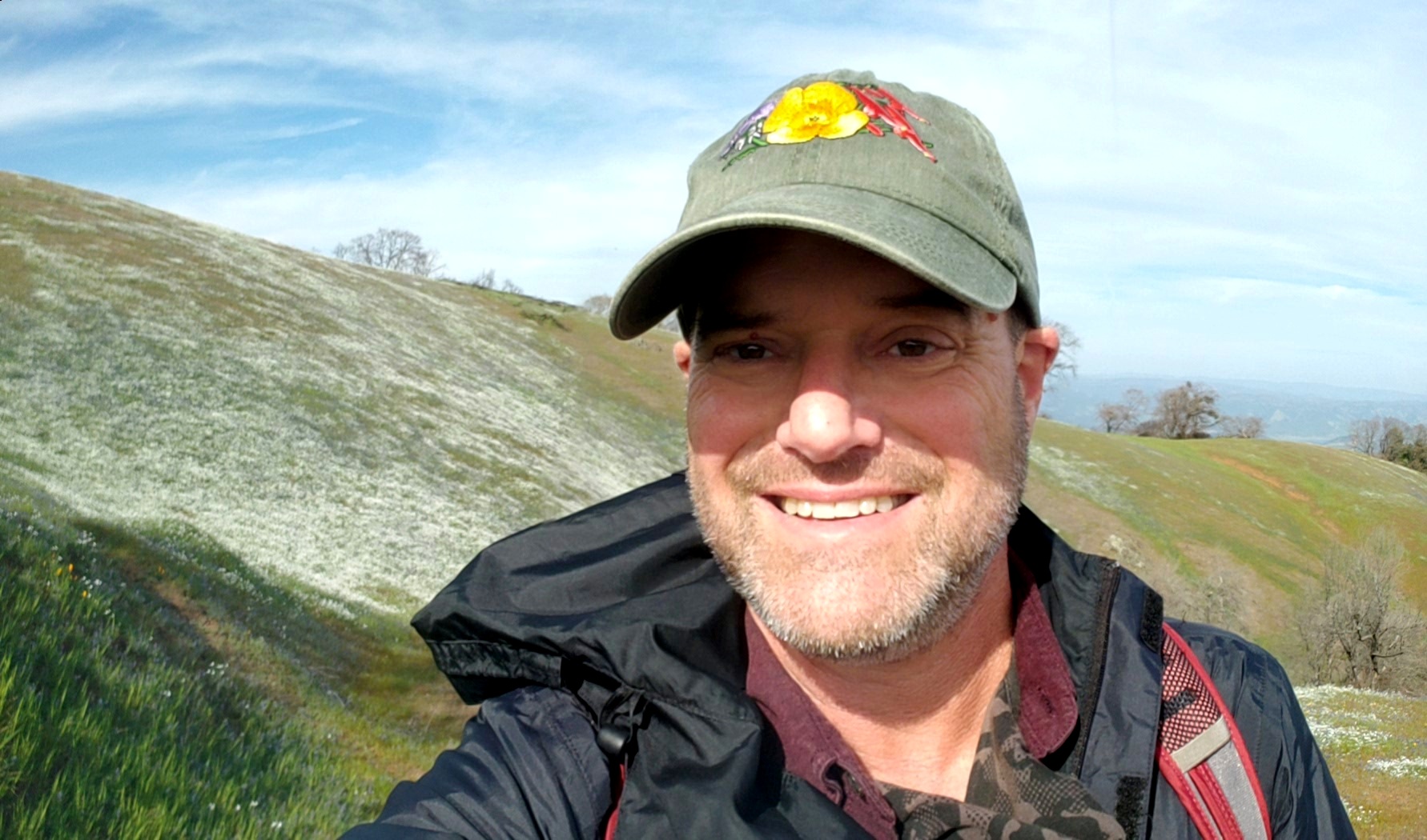
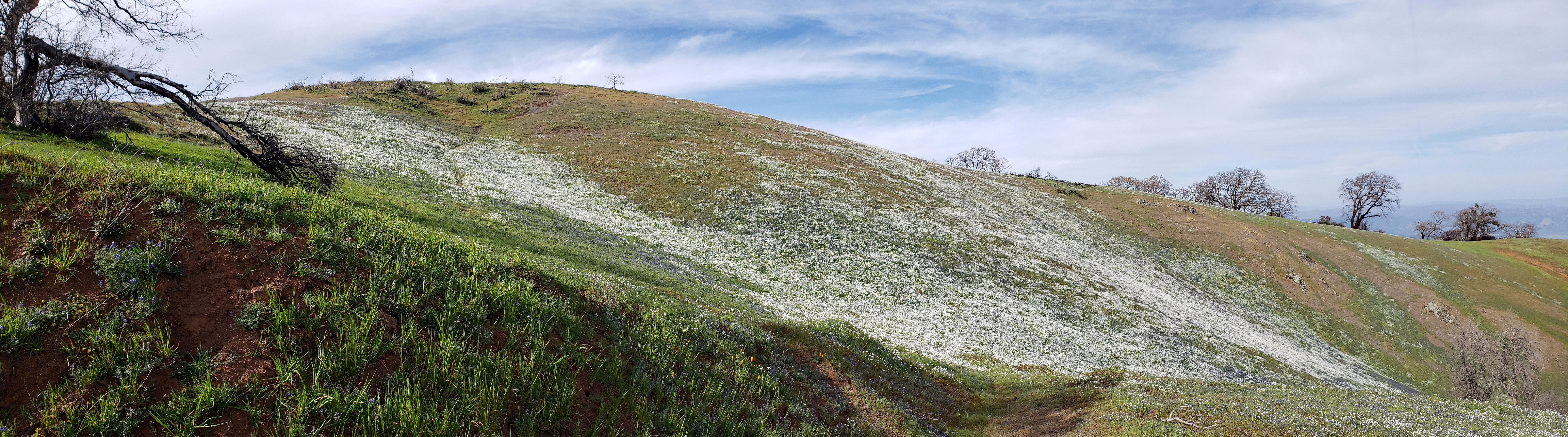
For a while, I’ve wanted to show some side-by-side photos of the wet and dry seasons here in Sonoma County. Folks who haven’t been to California, or who grew up in temperate zones where rain can fall any month in the year find it hard to imagine how huge is the difference between our usual April, and our usual October. This year, it’s unusually start because we had frighteningly little rain this past rainy season. So little rain that our hills are already going brown, weeks or months before they would in a usual year. The image just above was taken less than six weeks after the top left shot – and in case you can’t tell, this is the same hill from pretty much the same angle. The other two photos above are also from roughly the same place, taken less than six weeks apart. The dry ones were shot on May 14; the wetter ones the first weekend in April. And it’s in an area that’s burned twice since 2017. And, um, rain is extremely unlikely between now and at least October. Draw your own conclusions, and wish us luck getting through to the next rainy season without too much new fire stress…. ![]()
Beauty & The Burn.24

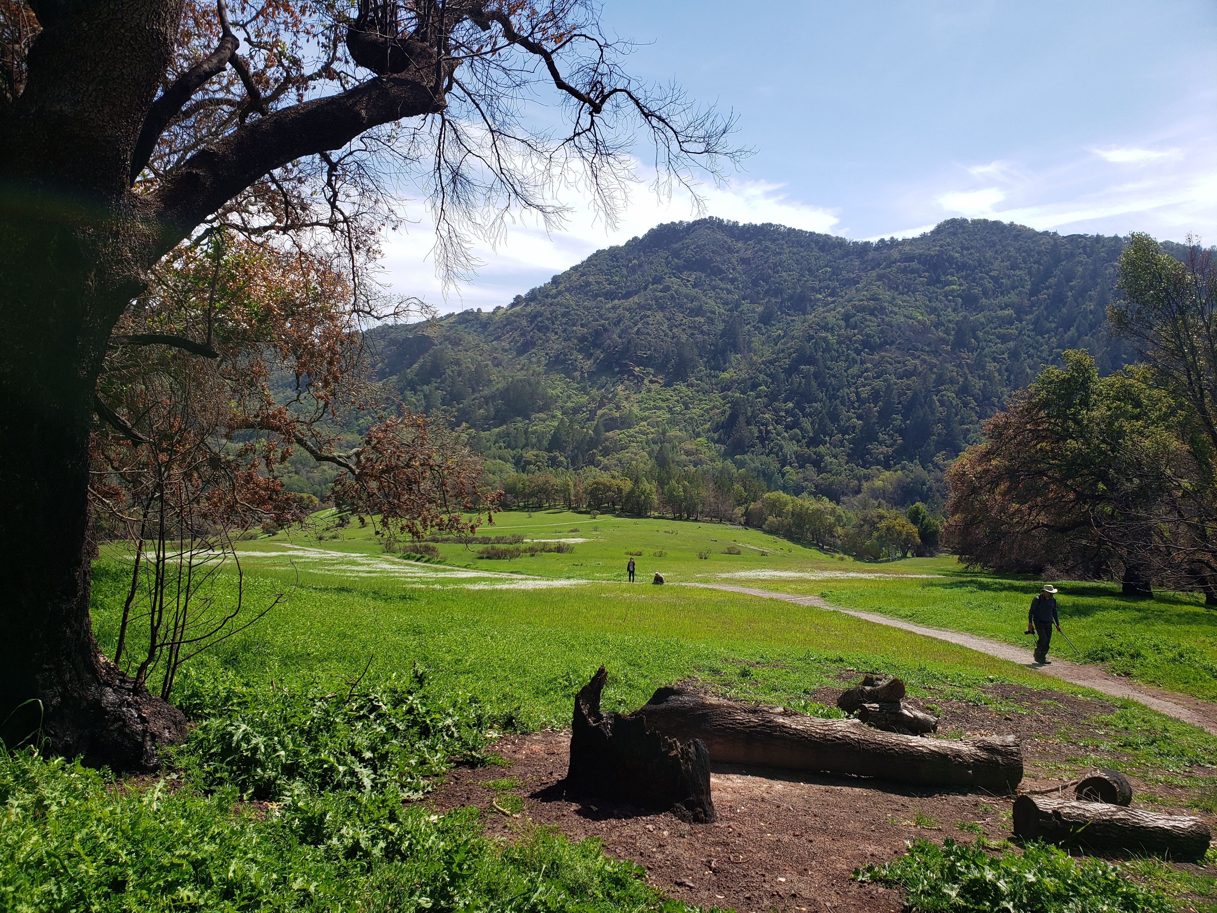
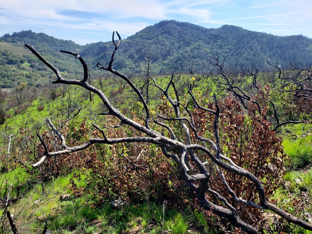
If you’re curious, scan some past entries from last autumn (October-December or so) to see photos I took looking up at the Maycamas Ridge, when it had been freshly burned (again) by the Glass Fire last year. This fresh spring layer of grass is the seasonal green of late wet season. Most of what you see here was charred by the Glass Fire last year.
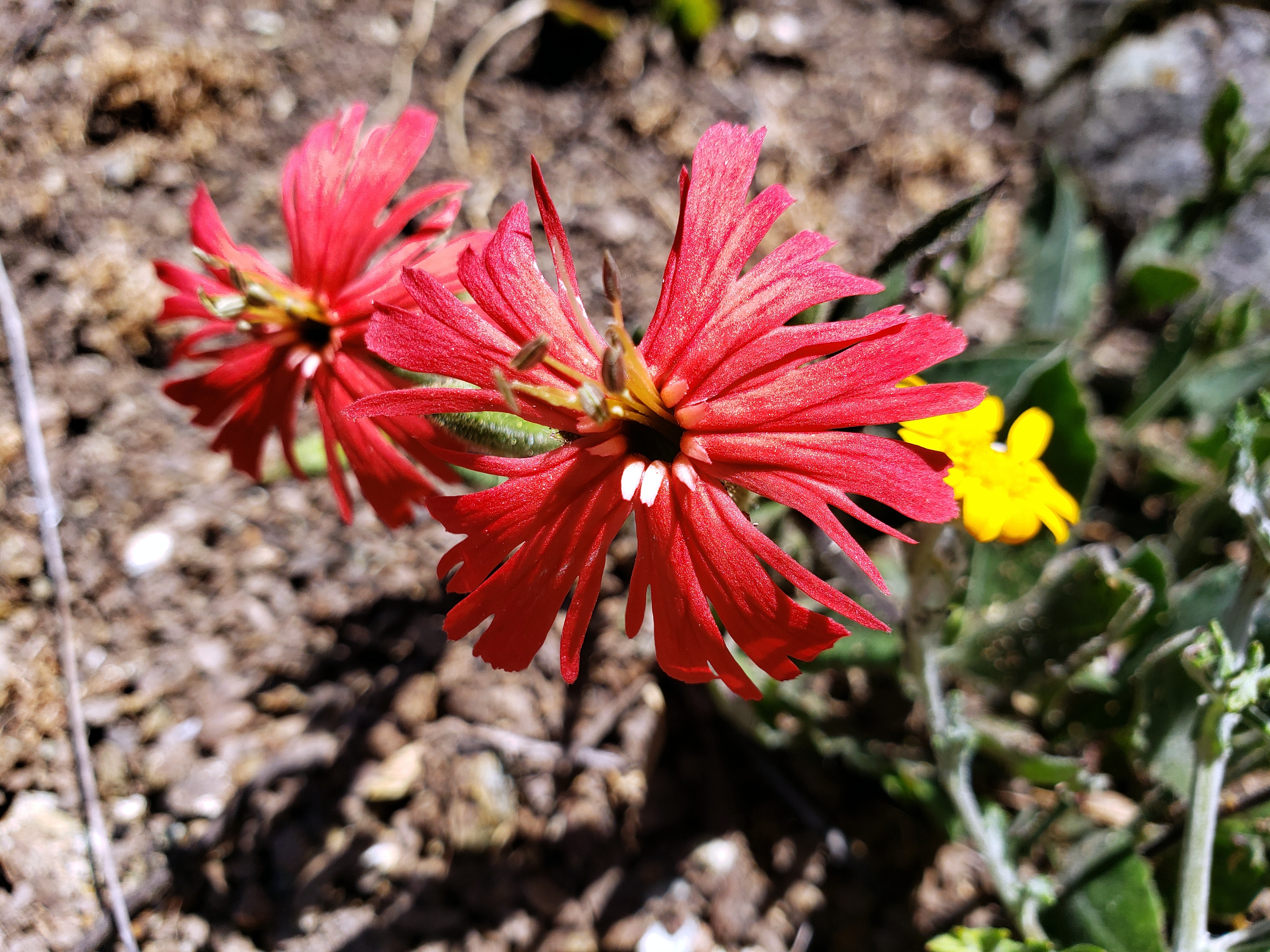
Errant Masks.23

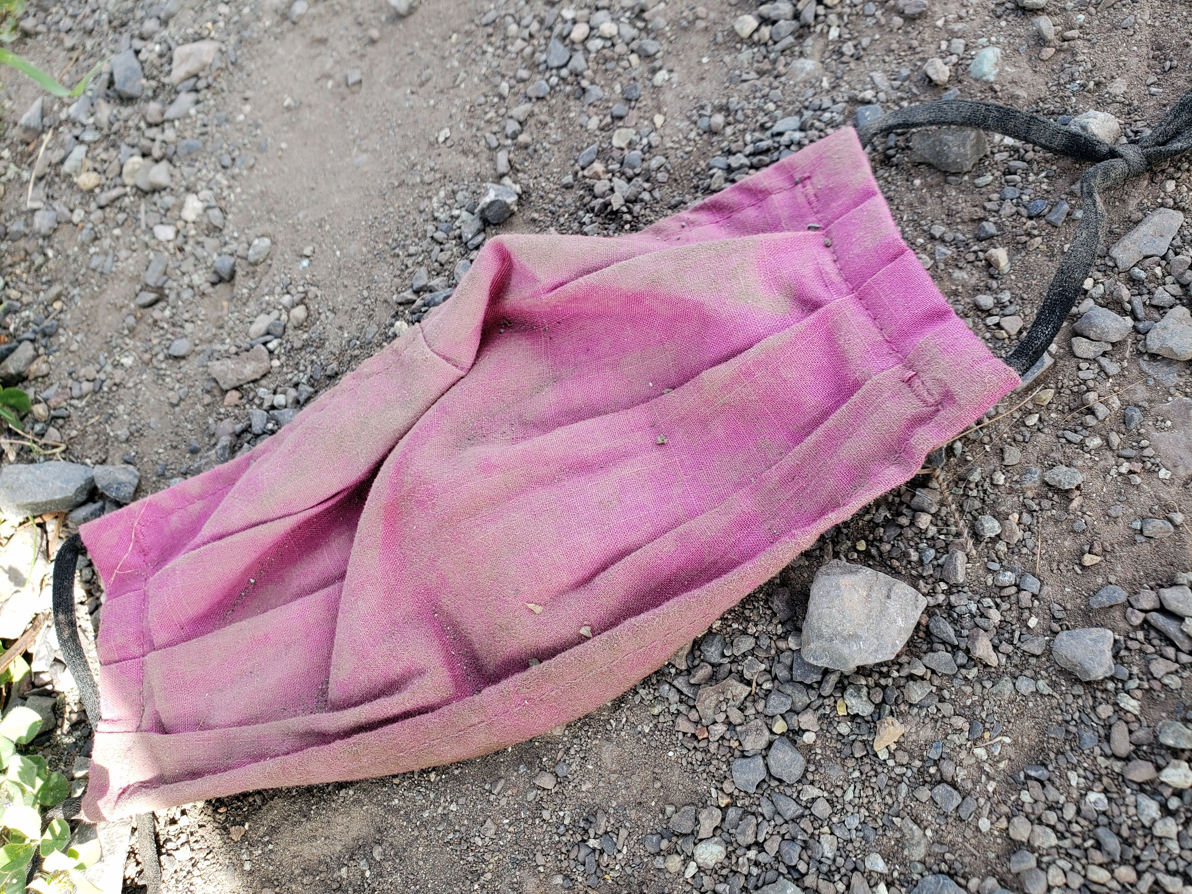
Yep, they’re still out there. I’m just not quite so interested in photographing them, but every now and then one just feels the urge…


Beauty & The Burn.22


Pardon the clunkiness of this gallery. This site’s host has forced a new editor on me, and I really don’t much like it. If anyone has recommendations of other, very simple and non-flashy basic blog-site hosts, I’d welcome suggestions.


Autumn Color in Another Burned Park
A bunch of photos taken in Sugarloaf Ridge State Park not long after a few of its trails reopened after the Glass Fire. I showed you the first of my photos from this hike in post just before Thanksgiving (https://somuchworldsolittletime.com/2020/11/23/beauty-and-the-burn-2/), but now I’m putting the rest up because we’re having more rain this weekend, so I can feel a bit more hopeful that the earth’s healing processes will get to work. And maybe, here on the 5th anniversary of the Paris Climate Accords when many other major nations of the world are facing up to the urgent need to cut carbon emissions, there is hope that federal policy in 2021 will return to an acknowledgment of scientific reality rather than pandering to those who choose to live in denial at the expense of all fellow living beings on the planet…


Beauty and the Burn.2


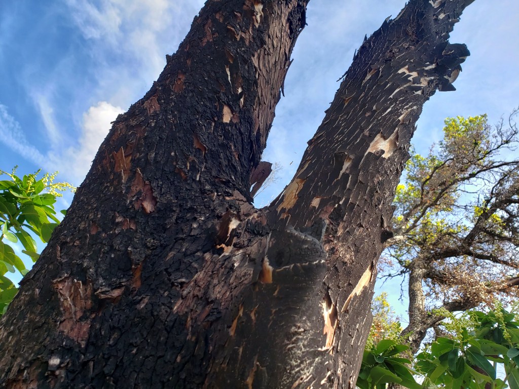
I’ve been showing you the view of the Mayacamas ridge as seen from ground level in our valley. Saturday we went for a hike on a few of the trails that have now reopened in Sugarloaf Ridge State Park. Driving up to the entrance, along a lovely narrow canyon road that I’d not visited since before the Tubbs fire first burned this area three years ago, it was hard not cry realizing how much damage the area has sustained. Our walk went for some time right along the fire line where they’d clearly managed to hold it. You can see see that fact in the photo of the tree with a burned trunk, surrounded by green: it must have been a small hotspot just on the southern edge of the fire line, with the rest of the fire barely maintained to the north at that particular spot. You can see more such fireline photos in another post from another park and yet a third recent fire in this post from three years ago: https://somuchworldsolittletime.com/2017/11/13/walking-the-fire-line-in-annadel/
I’ll post more of these in coming weeks, now that fire danger is again low for the moment thanks to just barely enough rain, and colder temperatures. As you’ll note, I’ve decided to just give them their own name as a series…a sub-genre of county views, I guess, albeit a sad sign-of-the-times sub-genre. Stay safe and healthy in this week which for the US is normally a celebratory holiday week. Love to my friends and family here and around the world.
County Views: Beauty & The Burn
 So we’re getting a bit more rain yesterday & today: Santa Rosa itself may reach the magic inch of rainfall before today is out. Thus, I’ve decided it may be safe for me to post these remaining photos I took in the days and weeks after the Glass Fire exploded into Santa Rosa over the Mayacamas Mountains. (Safe, in the sense that it’s less likely yet another fire will explode over the mountains. Though one really never knows, these days…) Somewhere in each of these photos you can see the burned ridges and eastern slopes of the range that separates us from Napa county, the view I see from my home, from my bike rides and hikes around most of this central part of the county. Most of it’s what I called twiced-burned, in a post not long ago.
I’ve recently been on many a hike, alone or with friends, where I know how to detect the marks from the Nuns and Tubbs fires three years ago. Things can grow back, so long as there’s time and enough rain to regrow. This landscape and ecosystem evolved with fire, but it did that evolving before our human pollution started tipping the balance and changing the atmosphere so very much. I wonder how much of this beauty our current childrens’ great-grandchildren will be able to see still. I wonder how many of our fellow citizens actually even care to ask themselves these questions and consider changing their habits and patterns to help preserve more for our future generations.


Hikes in SoCo – Wet & Dry, Pre- and Post-Fire

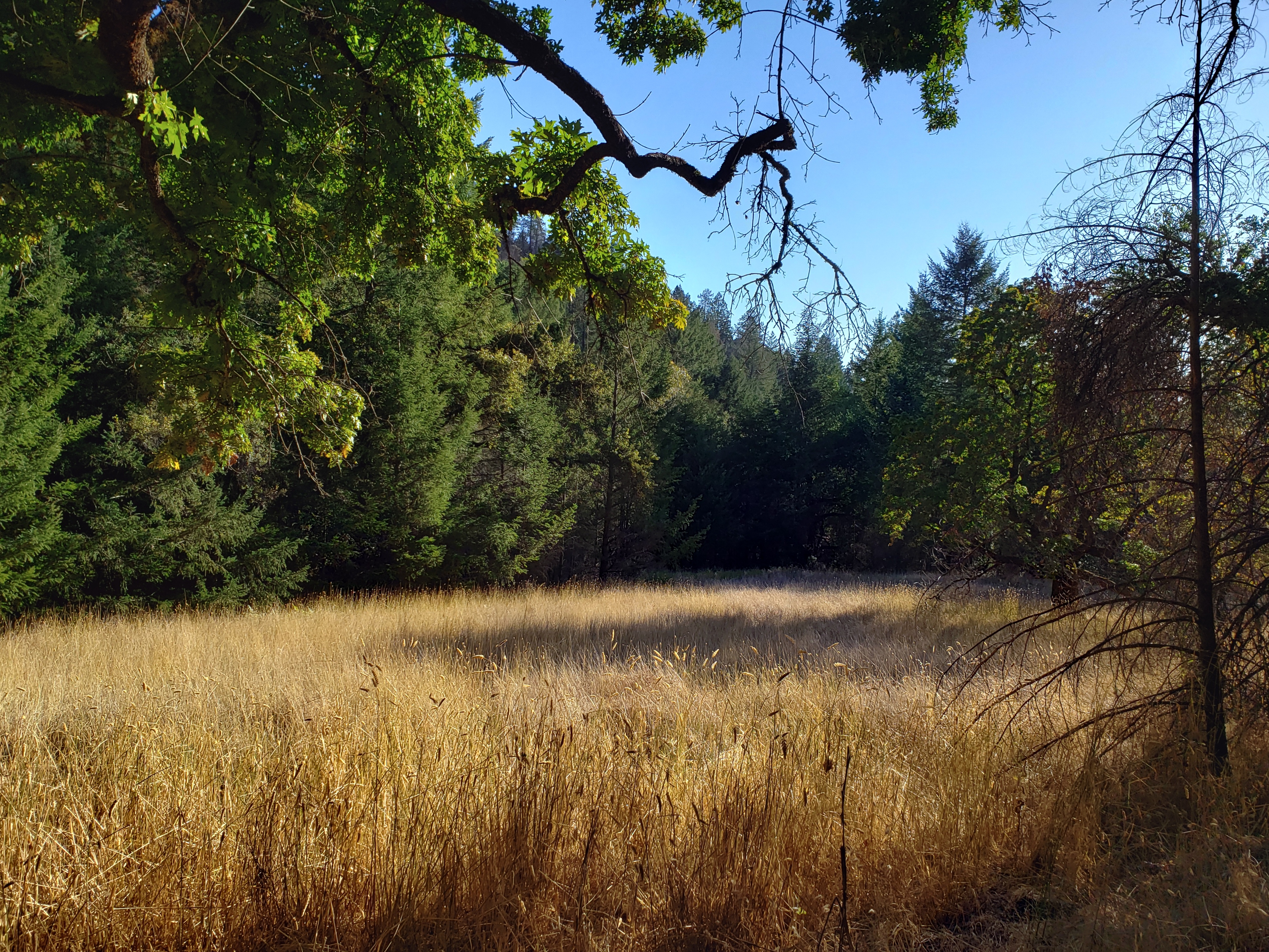
Followers and friends will know that I spent nine months at home this year, at first mostly near my mother’s (now former) home in New Jersey with some trips to my own home-base in Sonoma County, and then from June mostly in SoCo. The day I left my home to begin the travels which brought me to the desk in Dhaka from which I’m writing this now, I left earlier than planned because the friend whom I’d planned to be my ride to the airport was in an area that had fallen under mandatory evacuation, due to yet another devastating forest fire. That fire ultimately burned parts of Shiloh Ranch Regional Park, which had already been badly burned in the major fires just two years ago. I hiked up there less than two weeks before I flew out, and took the photo just below – where you see the charred part of a trail marker, left over from two years earlier.
You also see how very dry things are by the late dry season, making whatever vegetation there is ready fuel for any fires that do start. The photos I’m showing you here were taken on several hikes with friends (Howard, Nancy, Steve) and bike rides on my own, in many parks, trails and roads spanning a lot of Sonoma County between the end of the wet season / start of dry (the first photo in this post, on a bike ride in mid-April when rain might still fall a bit) to the one below, late October, late in the dry when we haven’t seen rain in more than six months.
I’m thinking of home on what’s still the end of Thanksgiving day, there in California – even if here it’s already Friday morning, that silly consumerist “black Friday” thing that American merchants get all excited about. Enjoy time with your friends and family, my beloved readers. They’re what’s truly priceless.