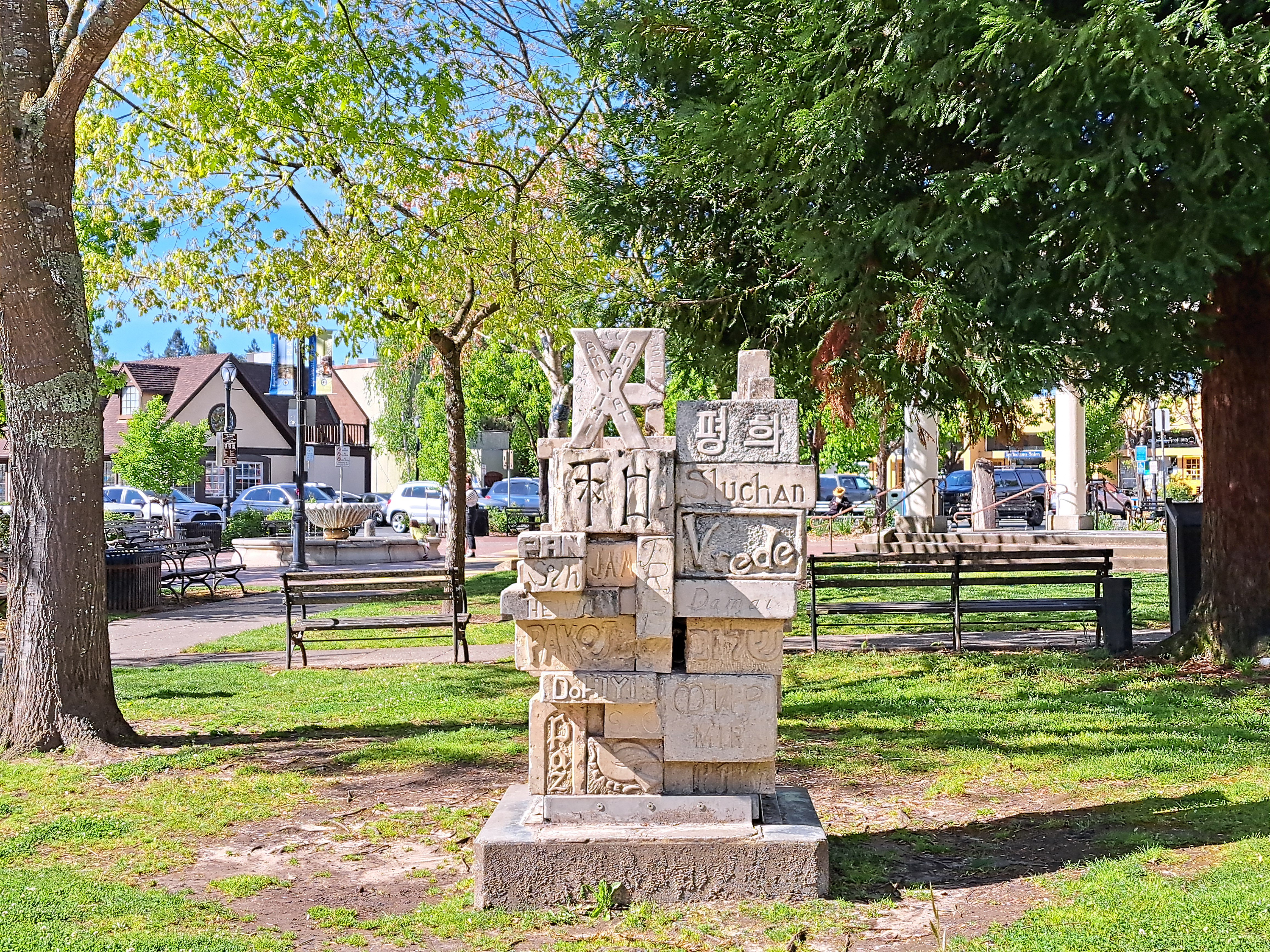
July 15, 2024 | Categories: California, SF Bay Area, Sonoma & Napa, United States | Tags: Sebastopol | Leave a comment
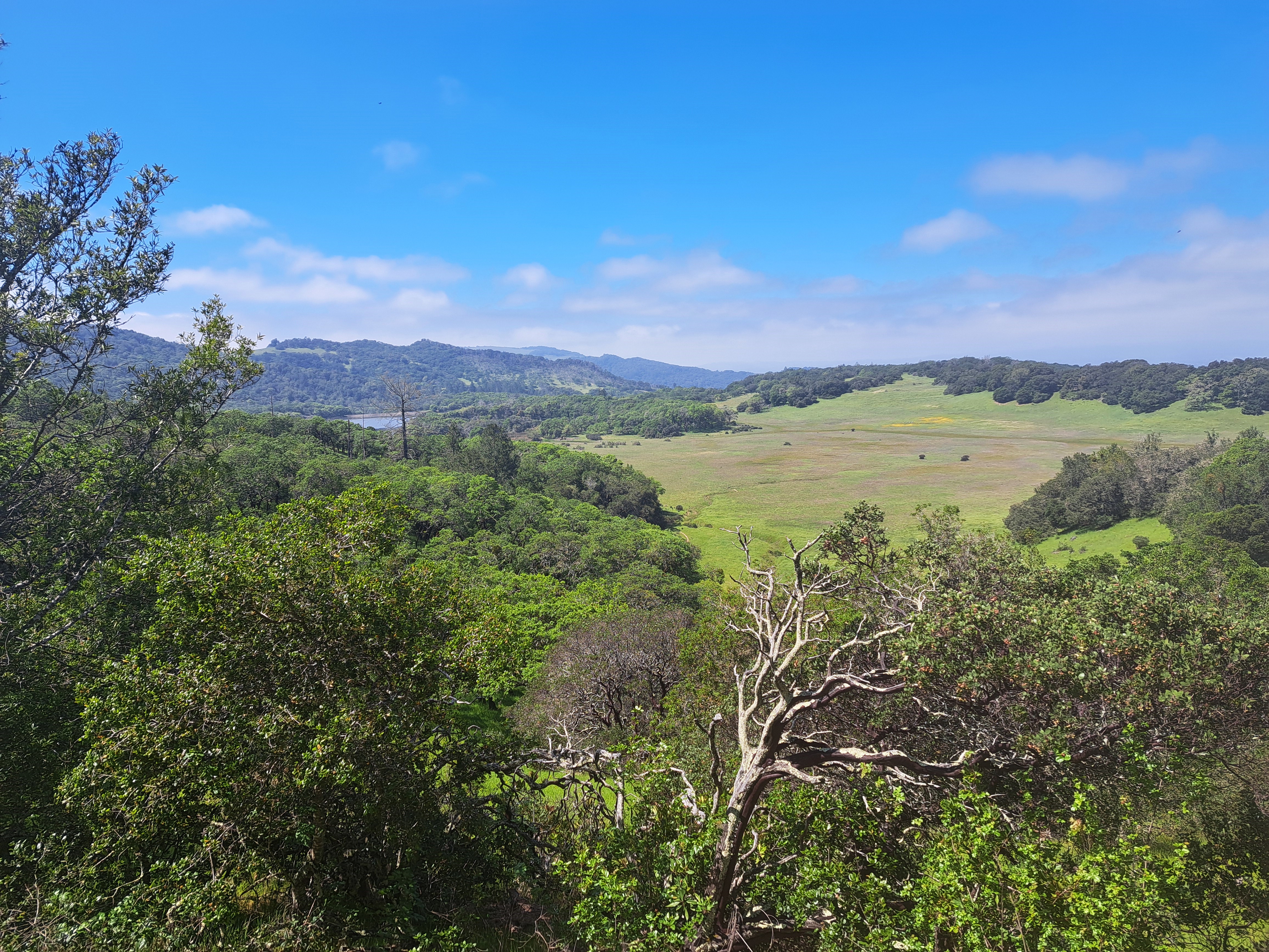
July 14, 2024 | Categories: California, SF Bay Area, Sonoma & Napa, United States | Tags: Annadell State Park | Leave a comment
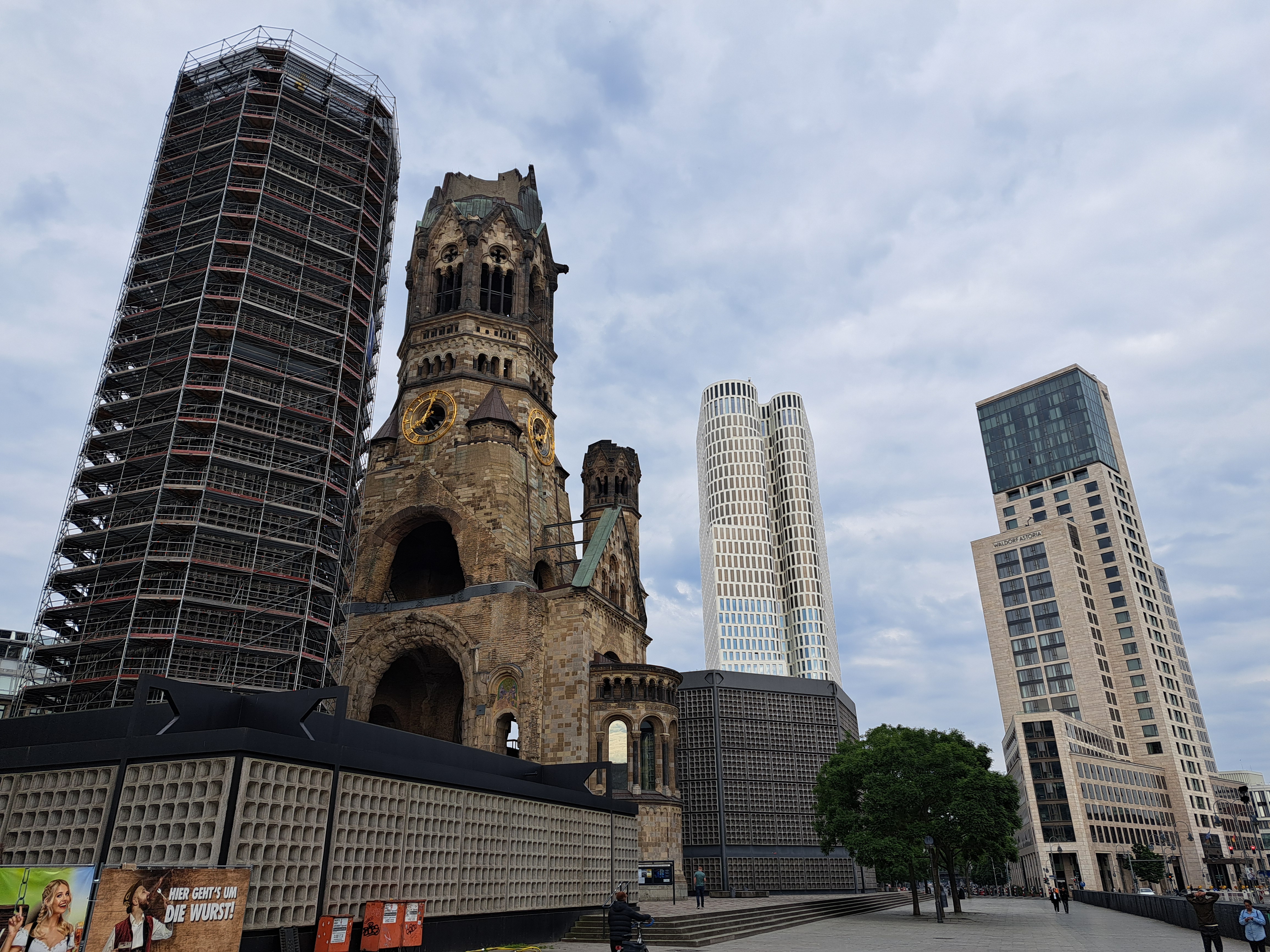
July 13, 2024 | Categories: Berlin, Germany | Leave a comment
July 12, 2024 | Categories: Berlin, Germany | Leave a comment
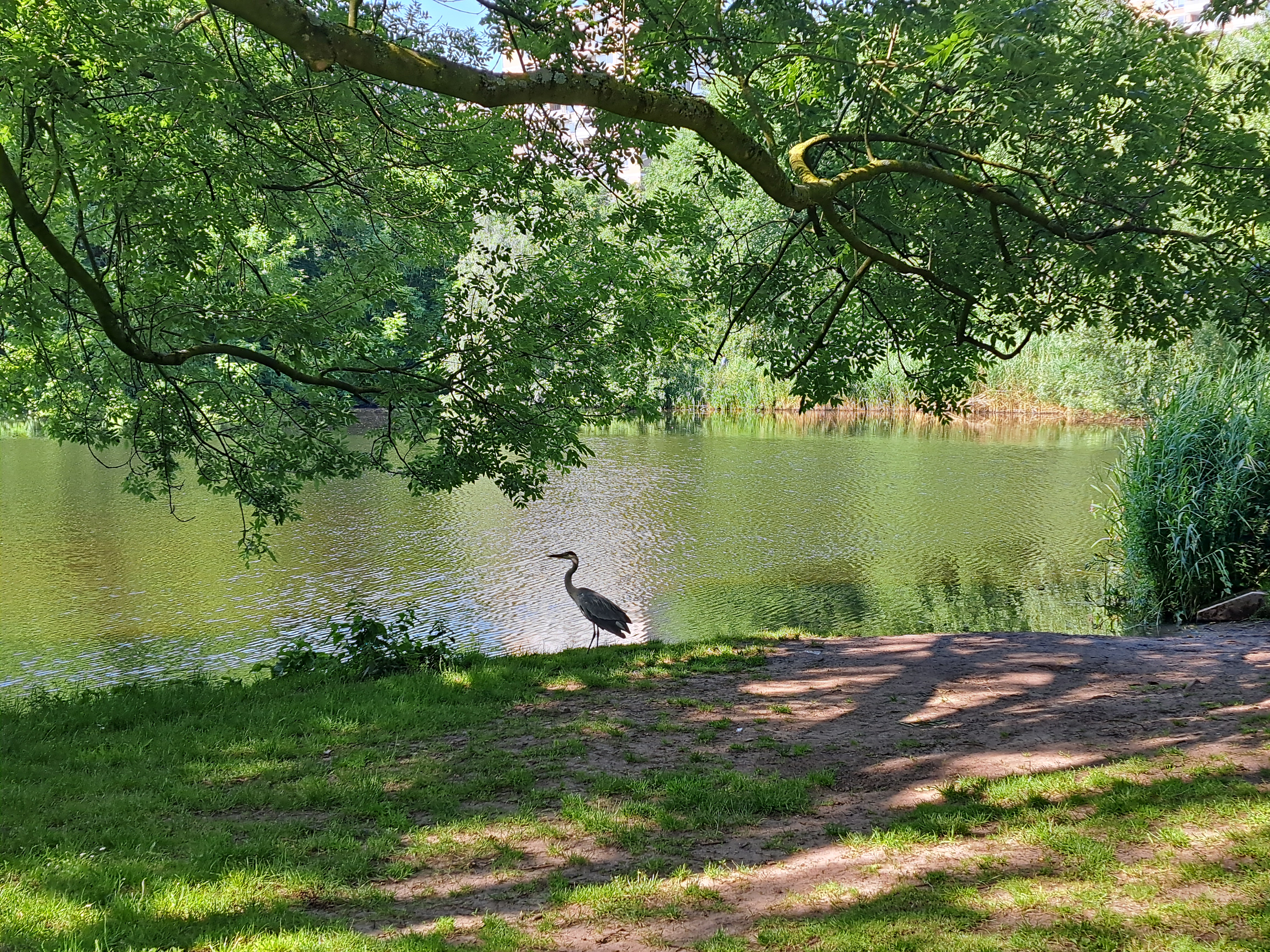
July 11, 2024 | Categories: Netherlands, North Holland & Amsterdam | Tags: amsterdam, Rembrandt Park | Leave a comment
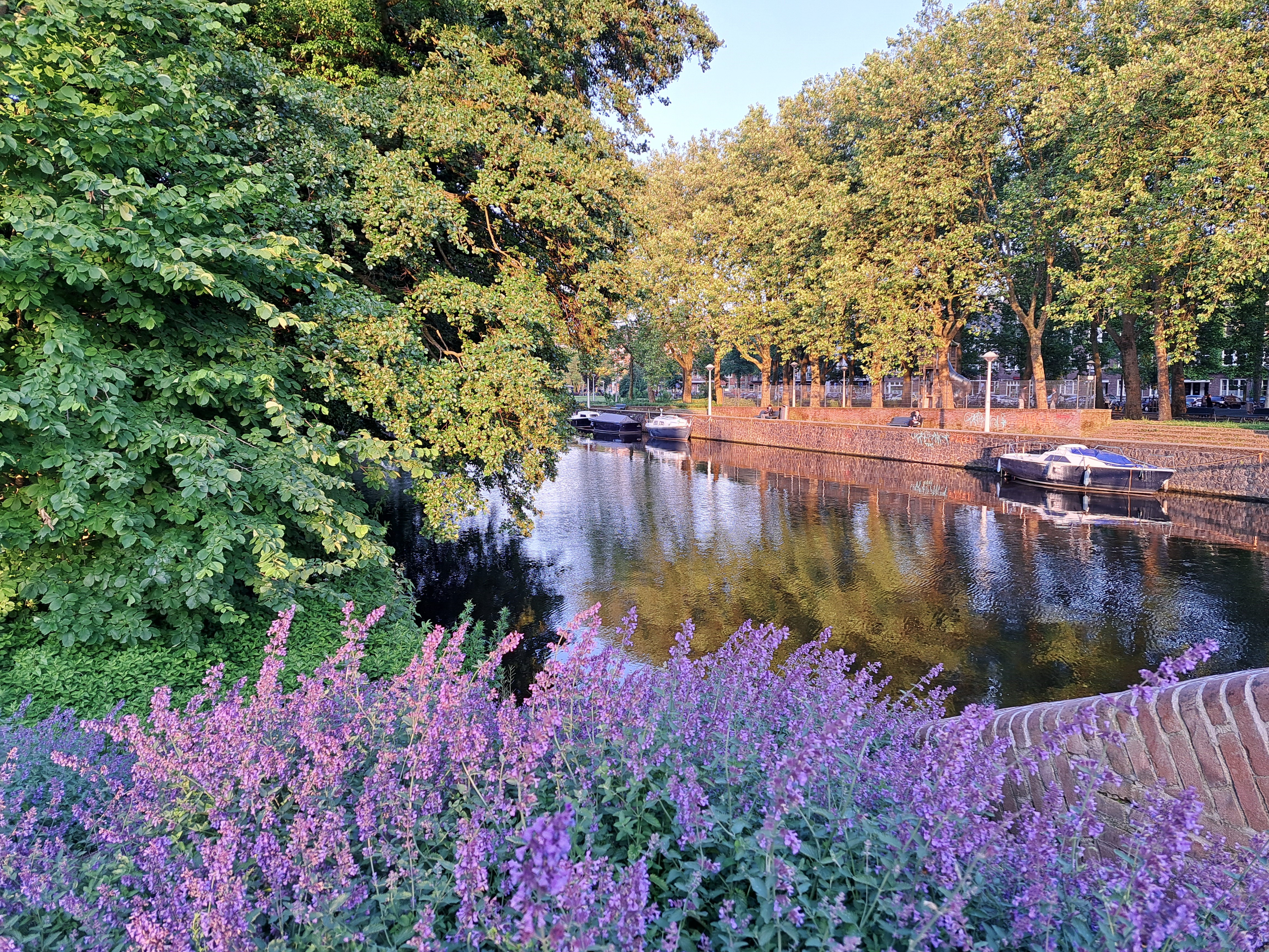
July 10, 2024 | Categories: Netherlands, North Holland & Amsterdam | Tags: amsterdam, amsterdam canals, Dutch Rivers & Canals, Rembrandt Park | Leave a comment
July 9, 2024 | Categories: Netherlands, Noord Brabant | Tags: Dutch Rivers & Canals | Leave a comment
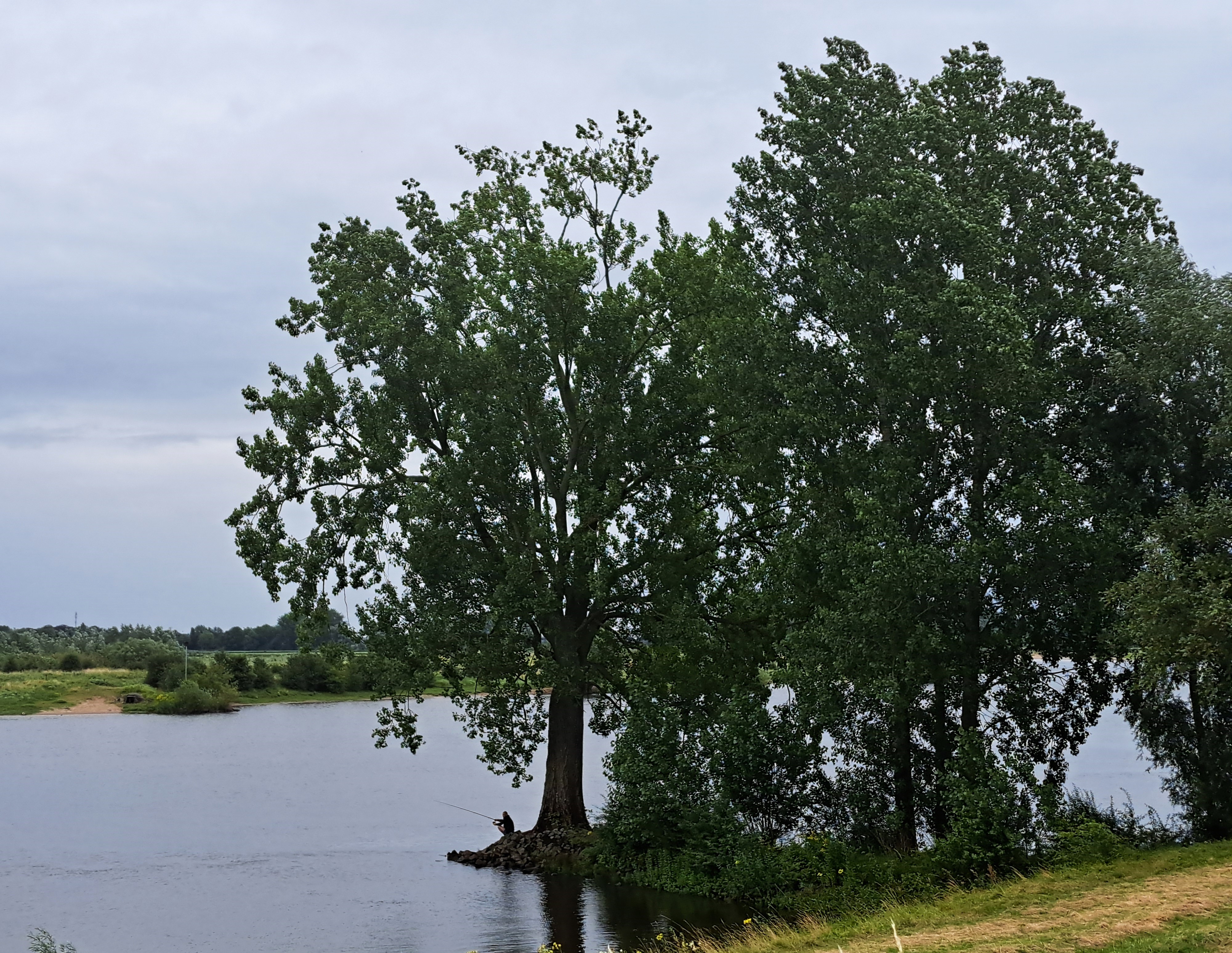
July 8, 2024 | Categories: Netherlands, Noord Brabant | Tags: Heusden | Leave a comment
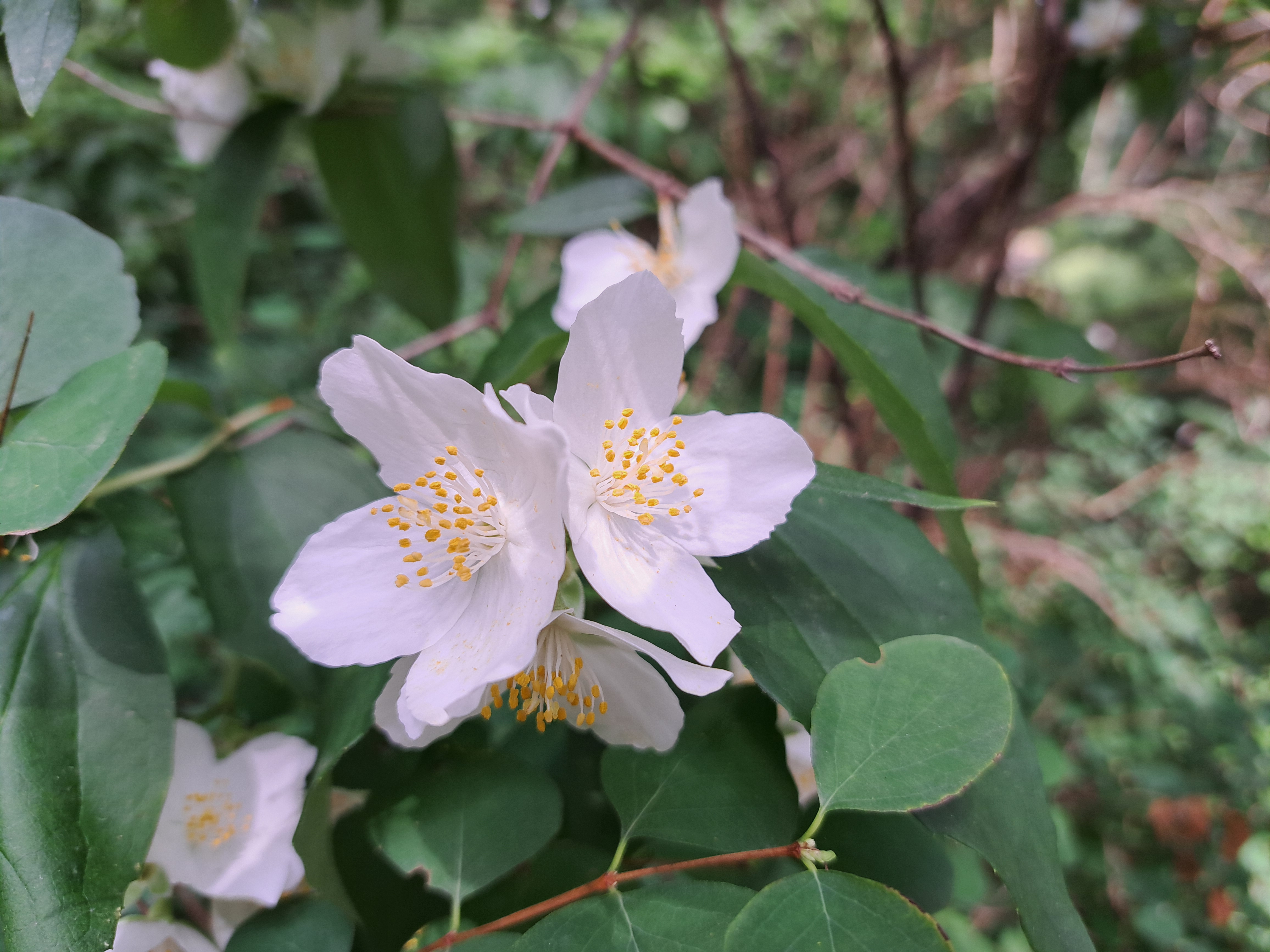
July 7, 2024 | Categories: California, United States | Tags: Mendocino County | Leave a comment
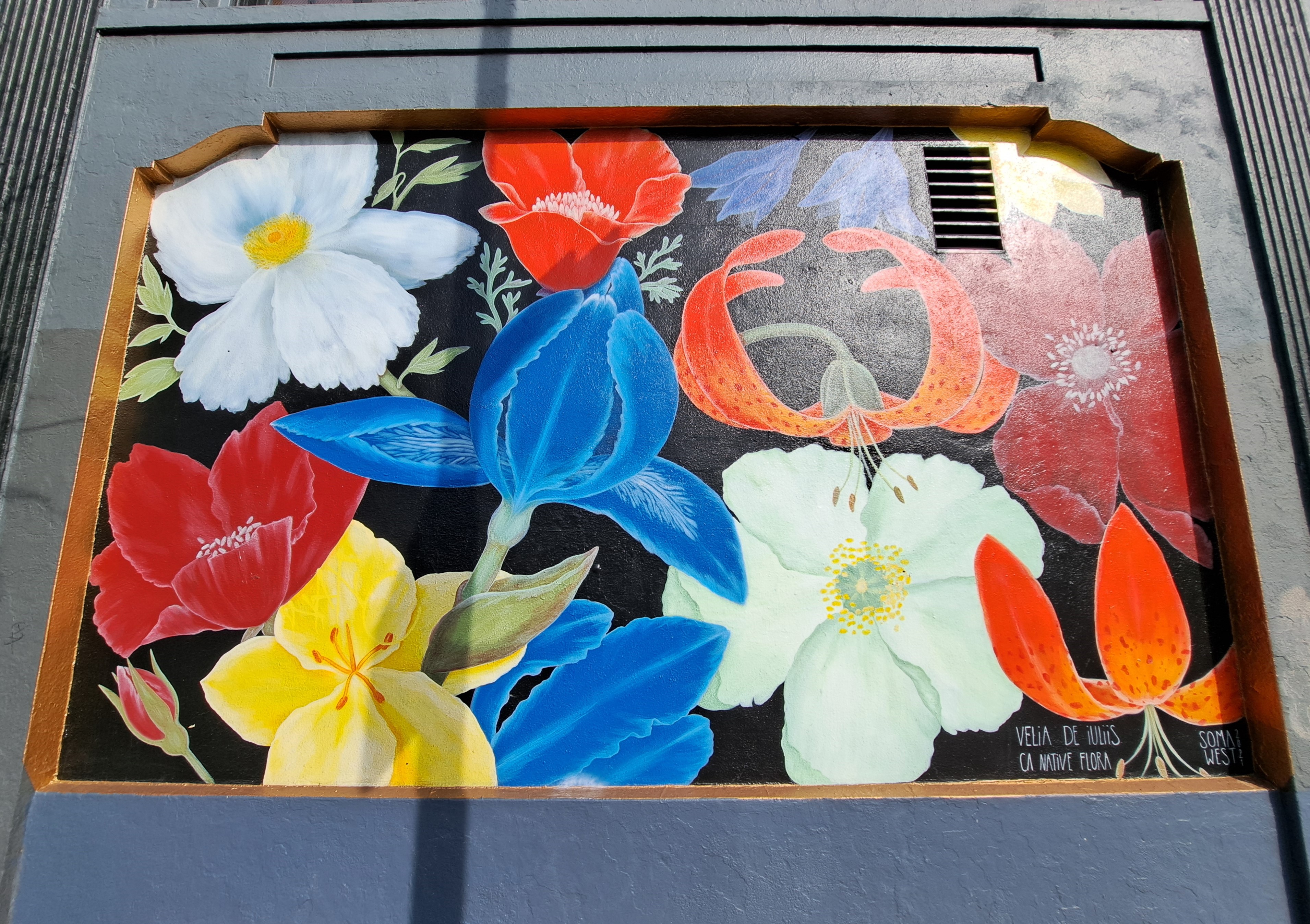
July 7, 2024 | Categories: California, San Francisco, United States | Tags: graffiti art, public art | Leave a comment
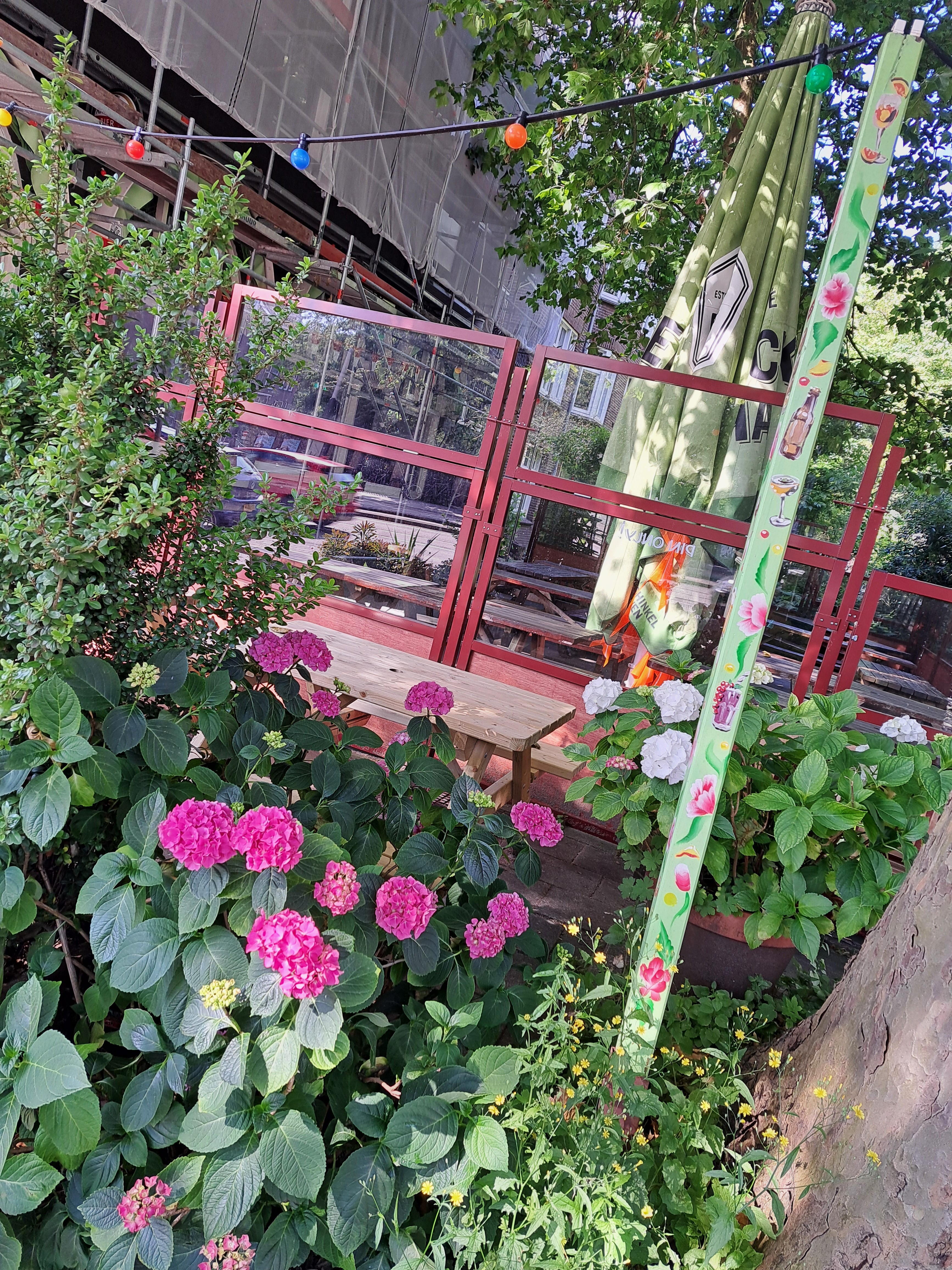
July 6, 2024 | Categories: Netherlands, North Holland & Amsterdam | Tags: amsterdam | Leave a comment
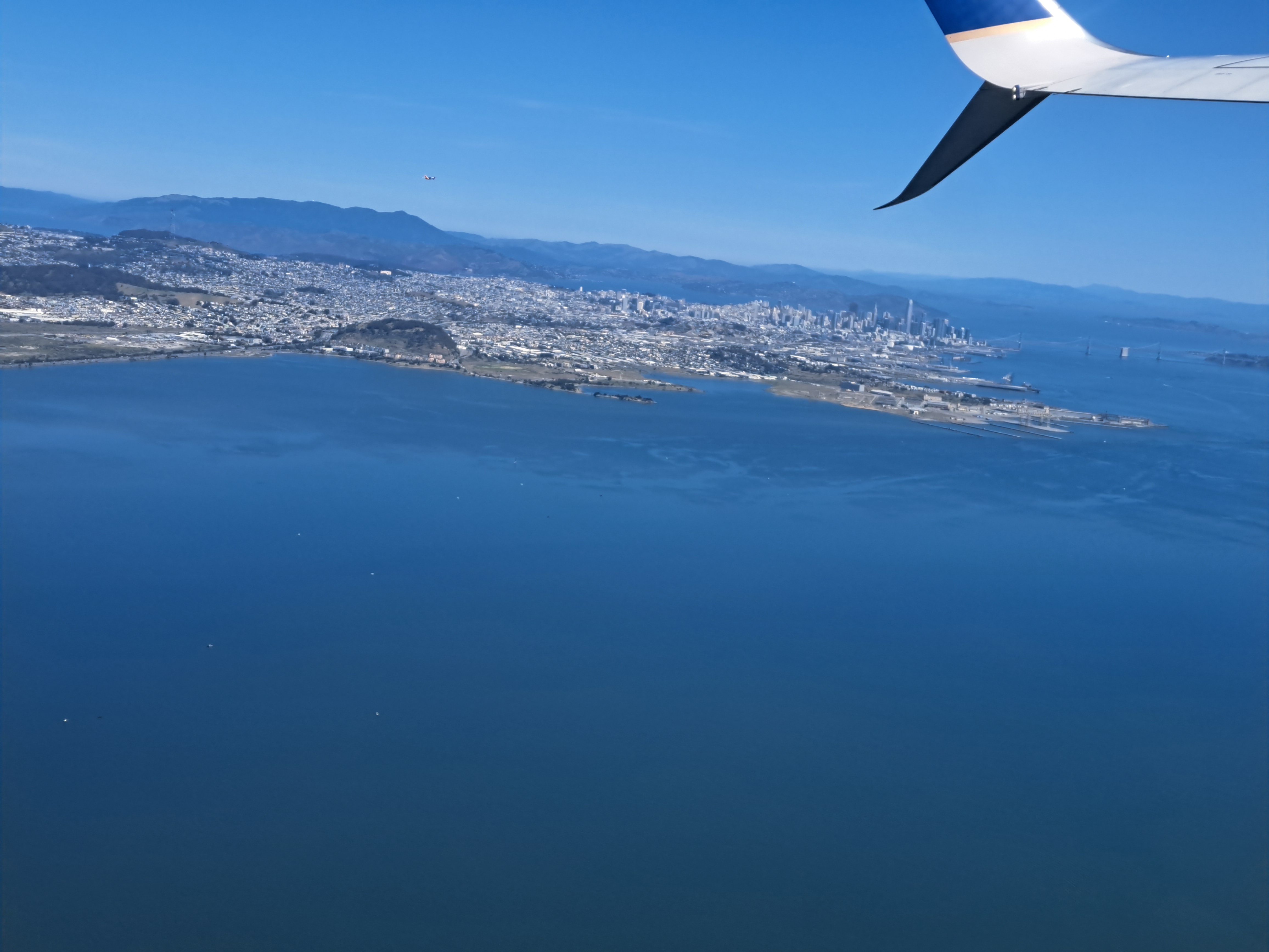
July 6, 2024 | Categories: California, San Francisco, SF Bay Area, United States | Tags: aerial photography, mt tamalpais, san francisco bay, san francisco skyline | Leave a comment
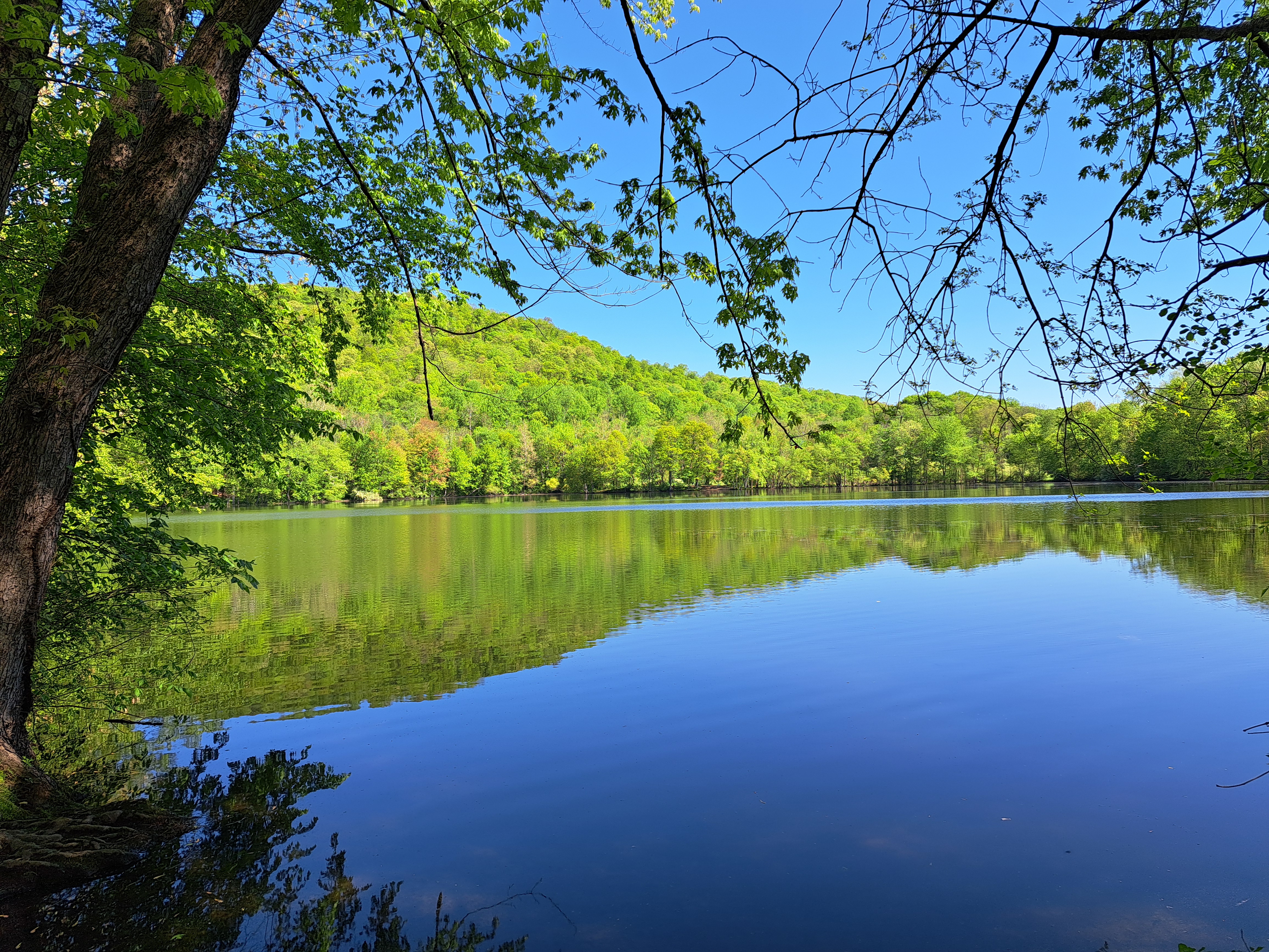
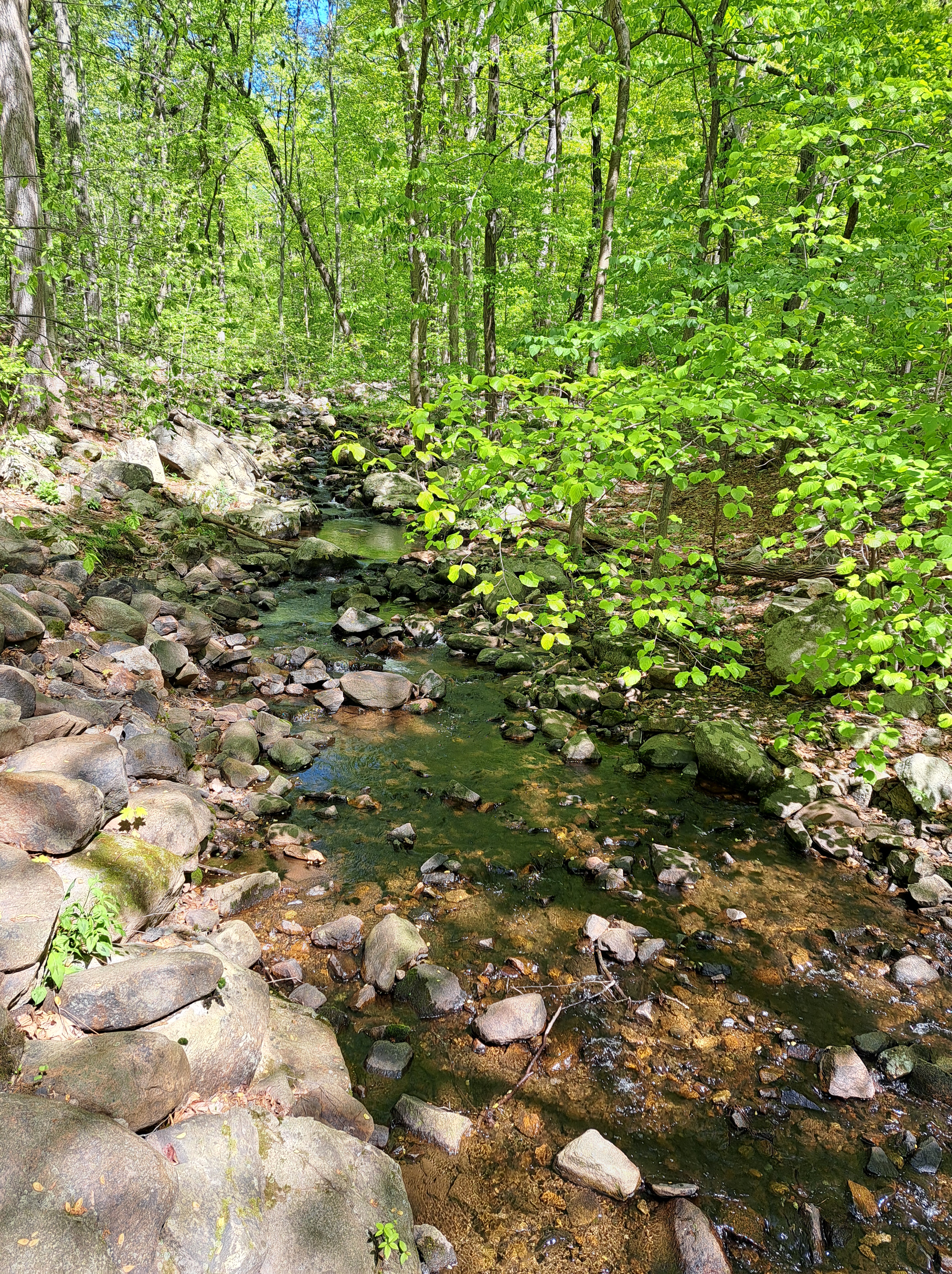
July 5, 2024 | Categories: New Jersey, United States | Leave a comment
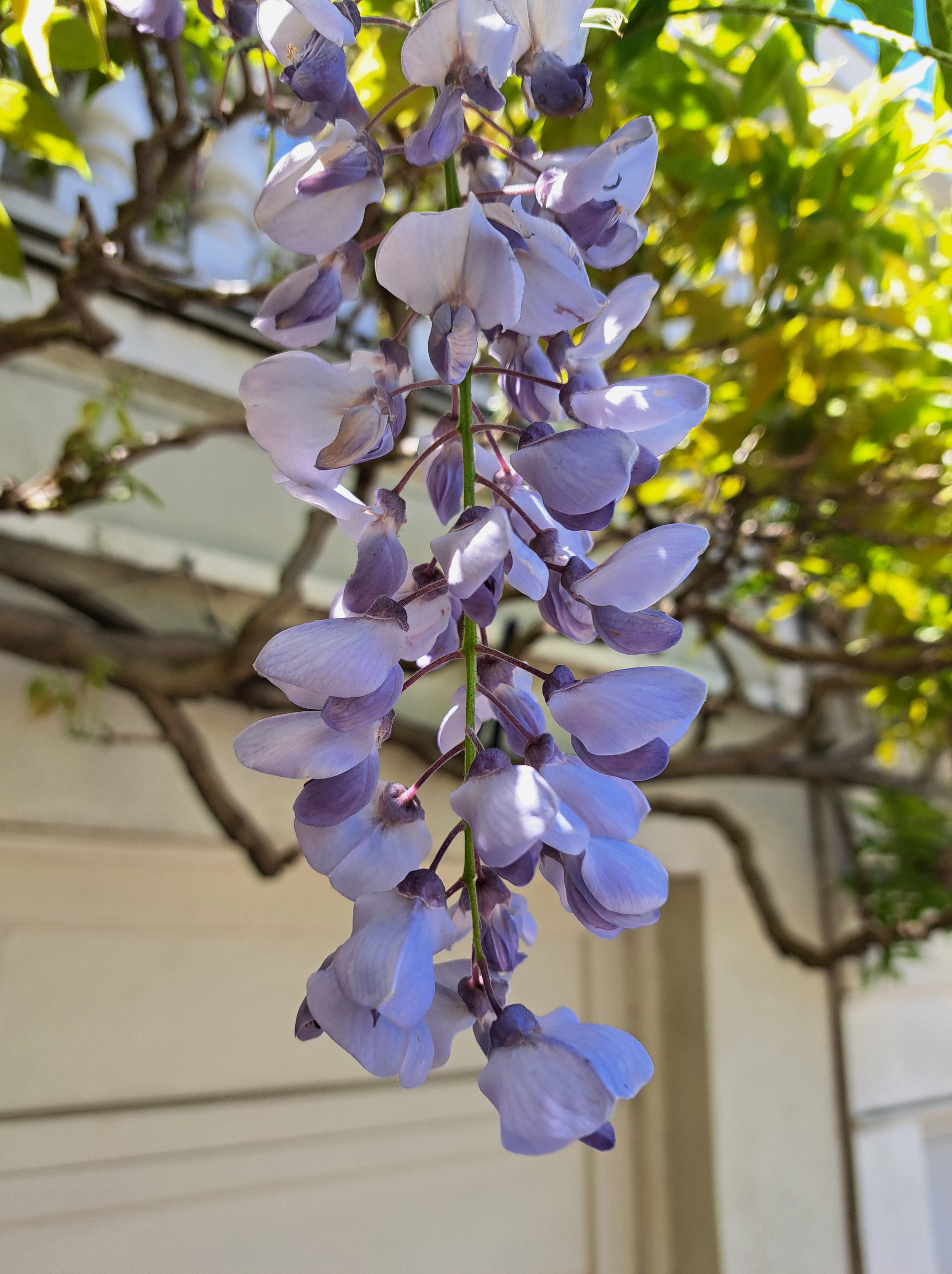
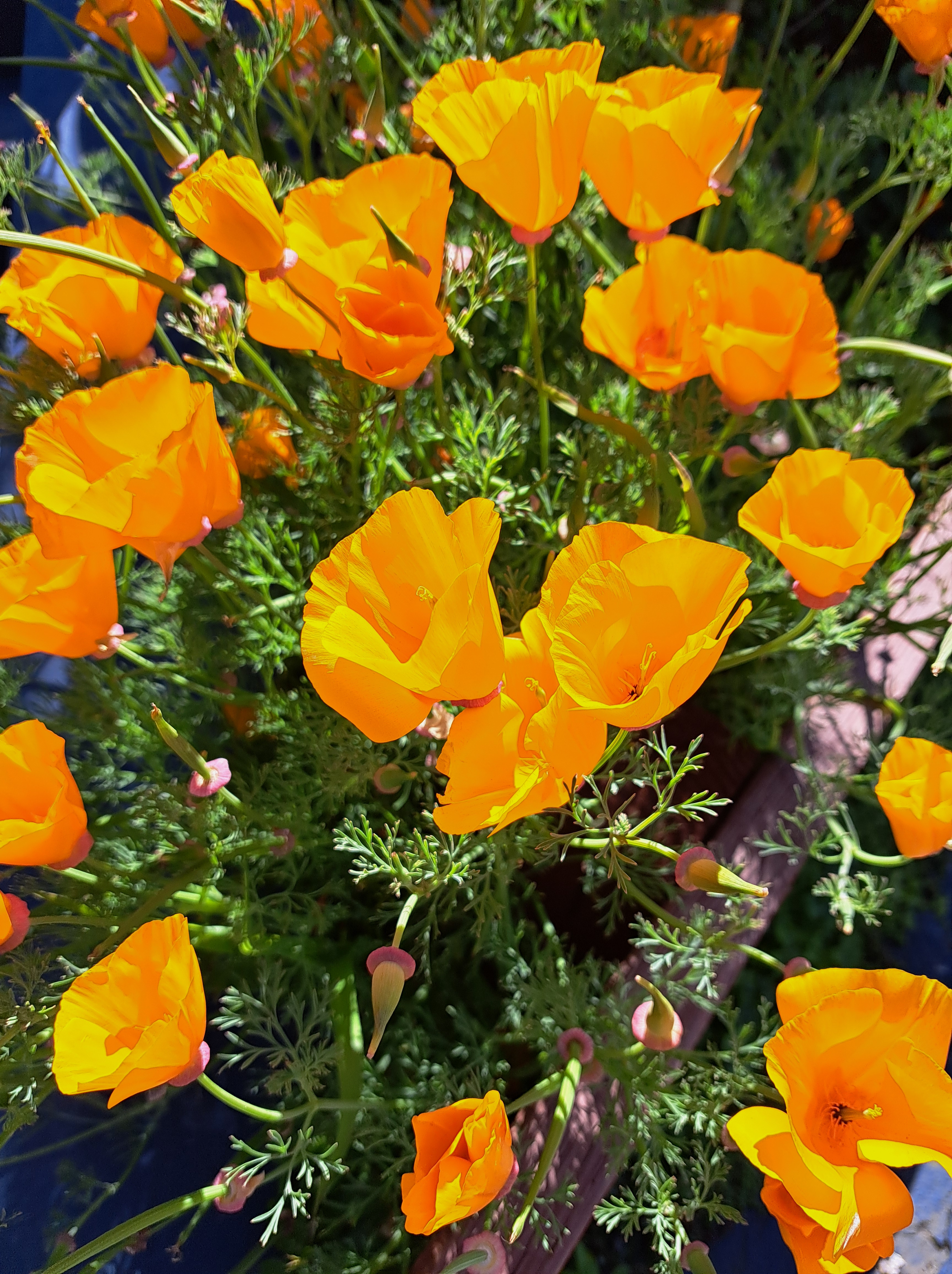
July 4, 2024 | Categories: California, San Francisco, United States | Tags: California poppies, poppies, wisteria | Leave a comment
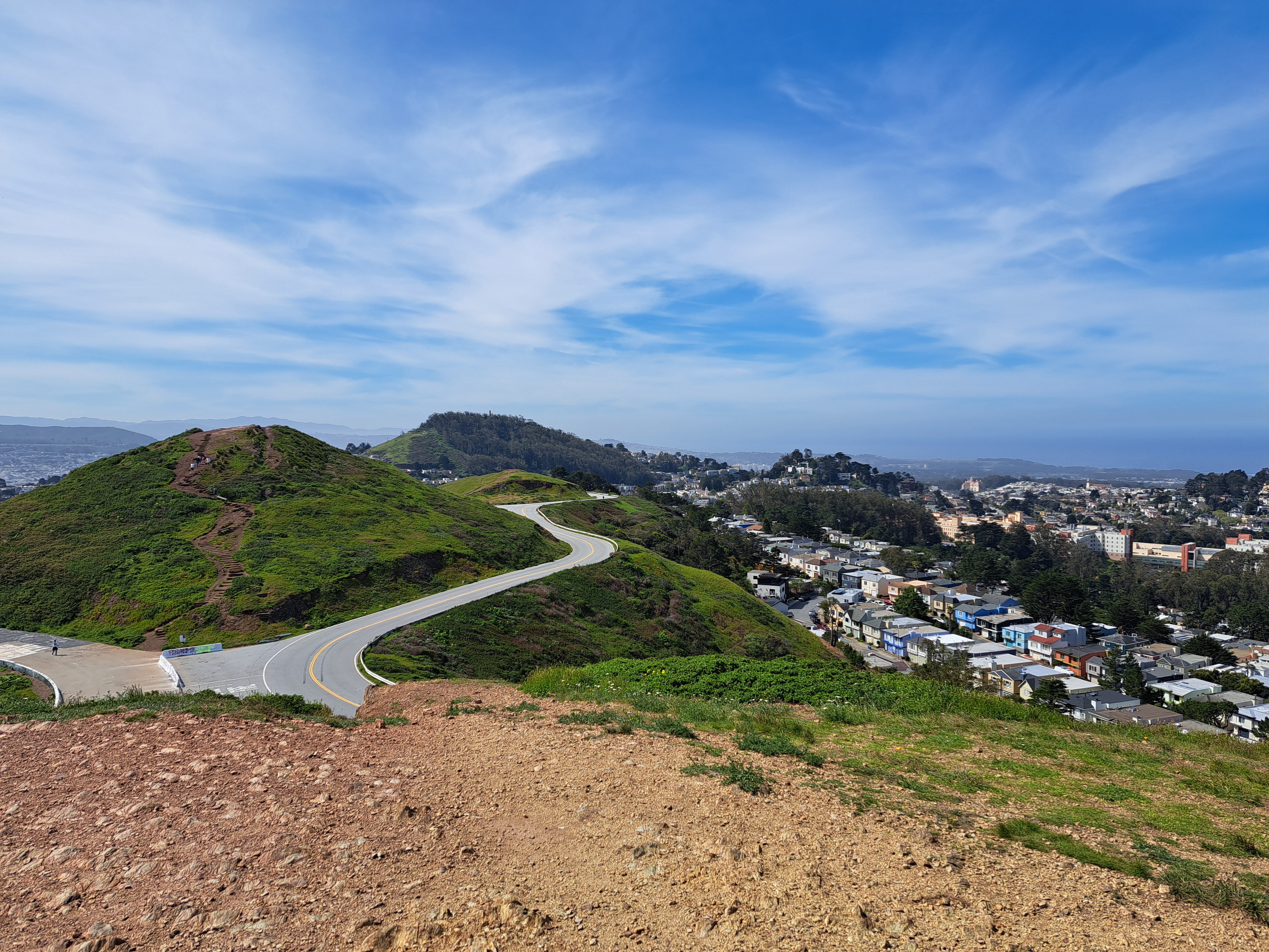
July 3, 2024 | Categories: California, San Francisco, SF Bay Area, United States | Tags: golden gate bridge, san francisco skyline, twin peaks | Leave a comment