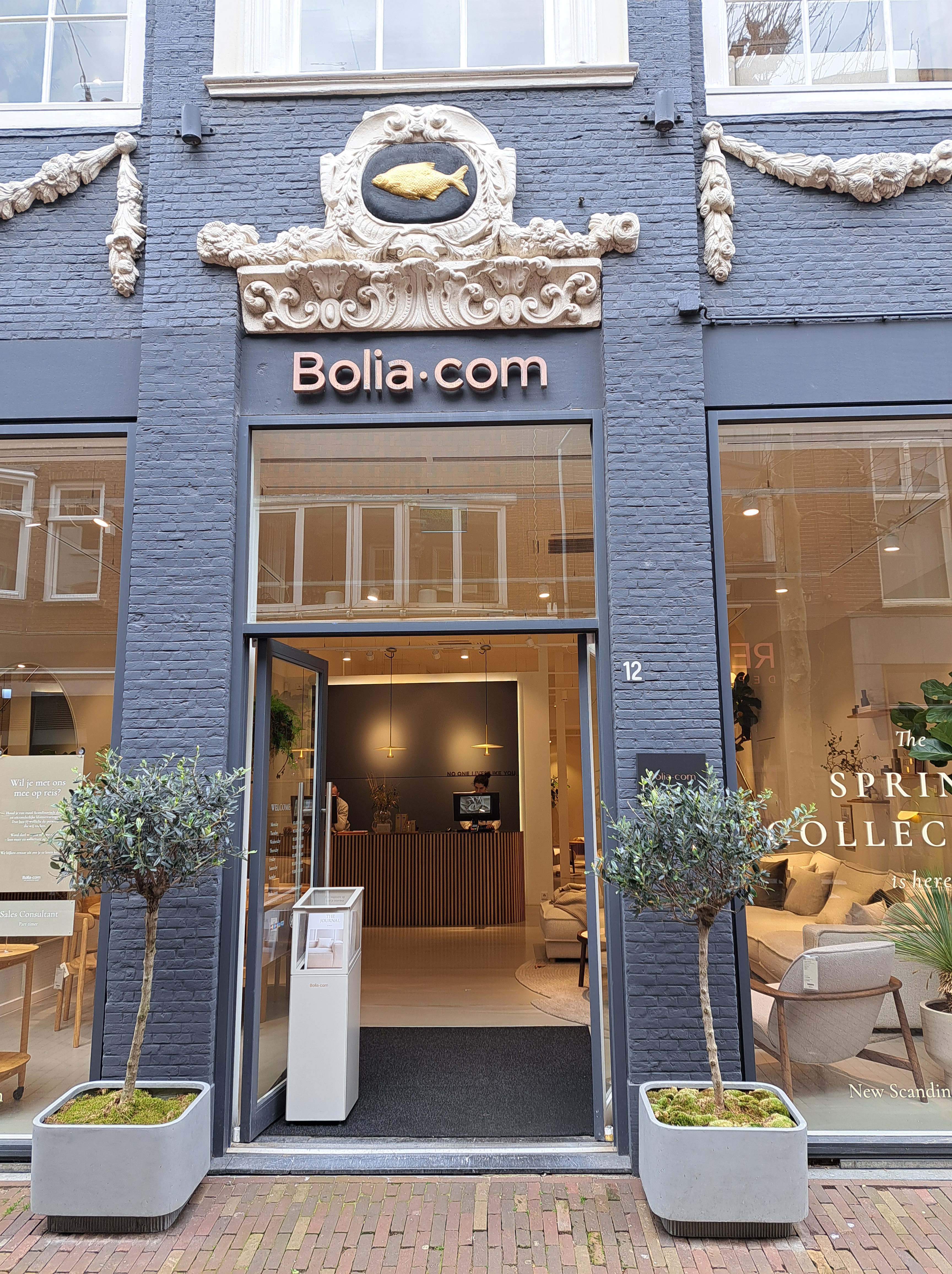
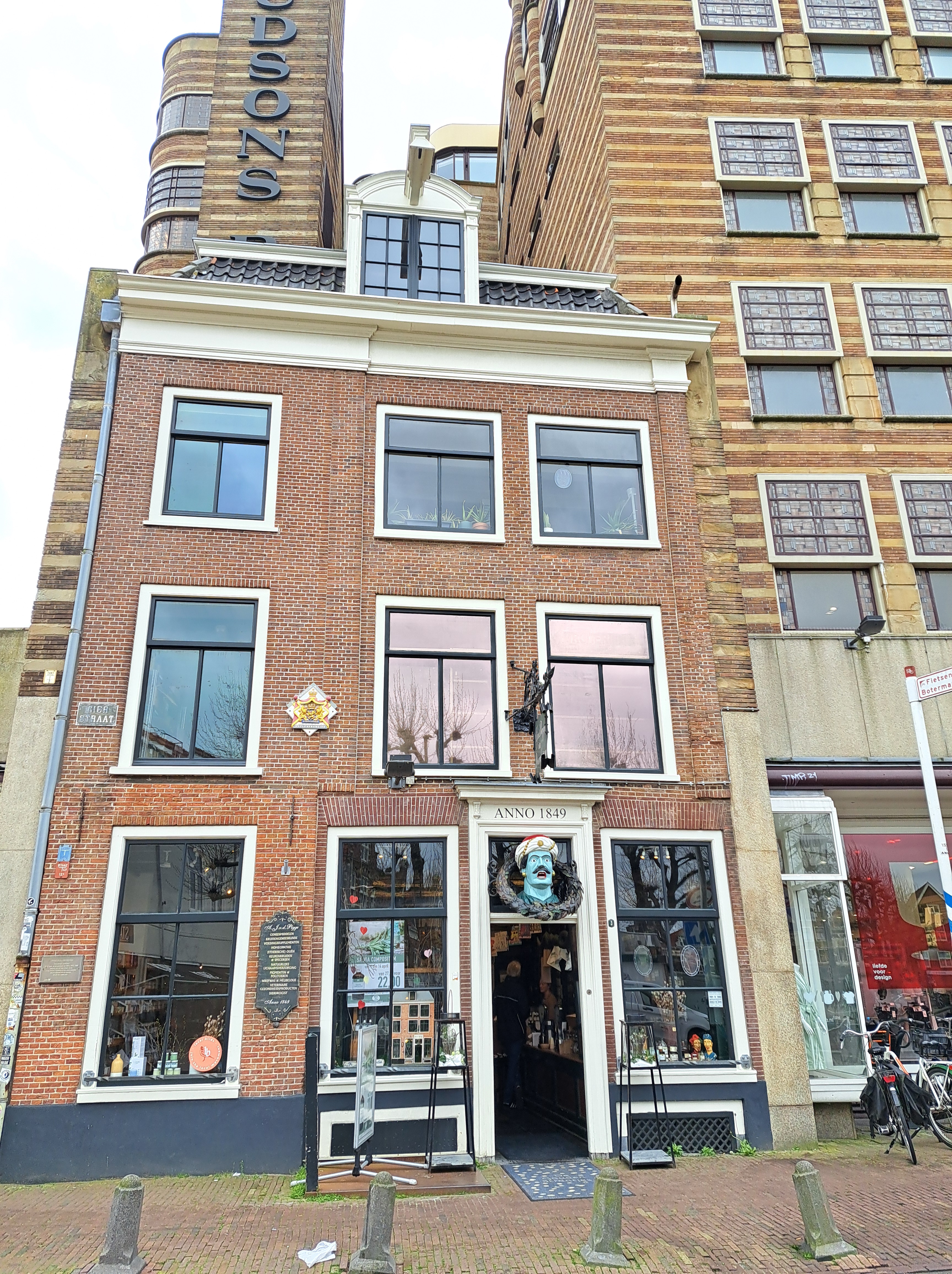
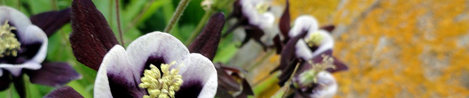
This entry is perhaps my most robust plug thus far for any of my friends, relatives or other readers who might be considering a visit to the Netherlands and / or me to remember a very important and oft-overlooked fact: though small as nation-states go, the Netherlands is much, much more than just Amsterdam. At the risk of incurring his wrath should he recognize himself, I’ll cite the example of one dear young relative whose original plan for his first-ever NL (and Paul) visit had been to use a connecting flight situation to spend a few days here, plus a few days in Stockholm. As plans evolved, said same fabulous relative decided to stick with NL only, had what I believe to have been a lovely visit exploring many cities and towns in this lovely, bike-friendly and well-organized nation…and has now planned another NL-only return visit with significant ambitions again to explore further afield than the (indeed lovely) “capital” city of Amsterdam. (Capital because that’s what everyone says it is – not, as previously noted in these pages, because it’s the seat of either the State or the government.) The connection to this current post: these are all from the lovely village of Heusden, on the Maas (Meuse) river in Noord Brabant an hour’s bike ride from Den Bosch (‘s Hertogenbosch, formally). As noted last month, I had the pleasure of spending a work-week living here at a friend’s house due to some tourist-visitor-related house swapping arrangements. I first visited Heusden on Christmas day in 2021, and shared my first Heusden posts in January 2022. You’ve seen it off and on since then, but today and in a couple future posts, we’ll be sharing more of its lovely charm. And any future visitors please note: NL is chock-full of such lovely, explorable towns and villages surrounded by moats and boasting picturesque streets, windmills and shop signs…and magnificently bike-friendly infrastructure. Just sayin. (Insider tip: you can use this blog best to plan potential visits by being sure you’re in the “full view” mode, and then looking for the small-print “categories” and “tags” that do very definitely appear at the bottom of every single post here, and then simply tap / clicking – for example on this post – “Heusden” to pull up all past posts that I’ve tagged as from Heusden. :-))
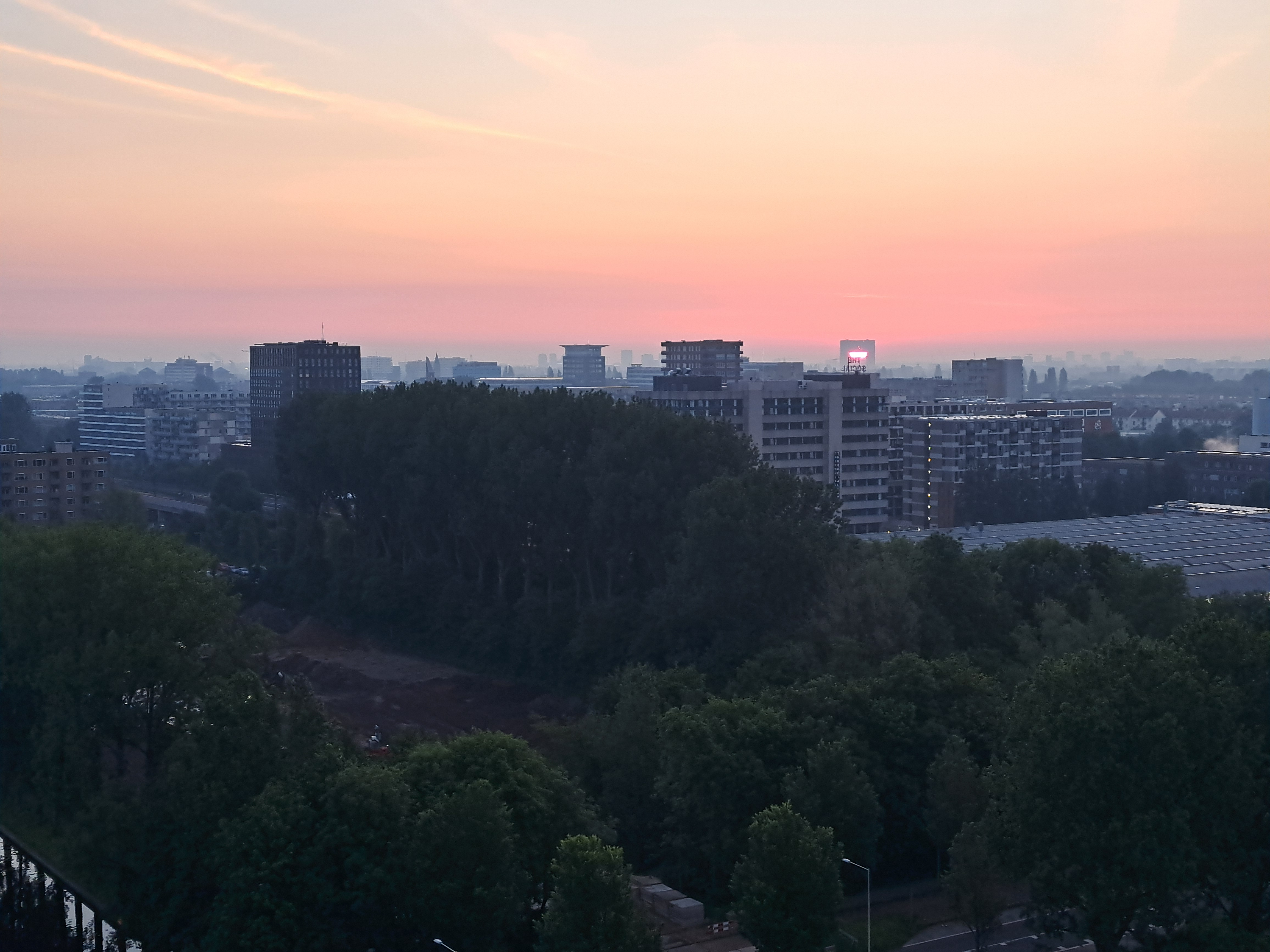
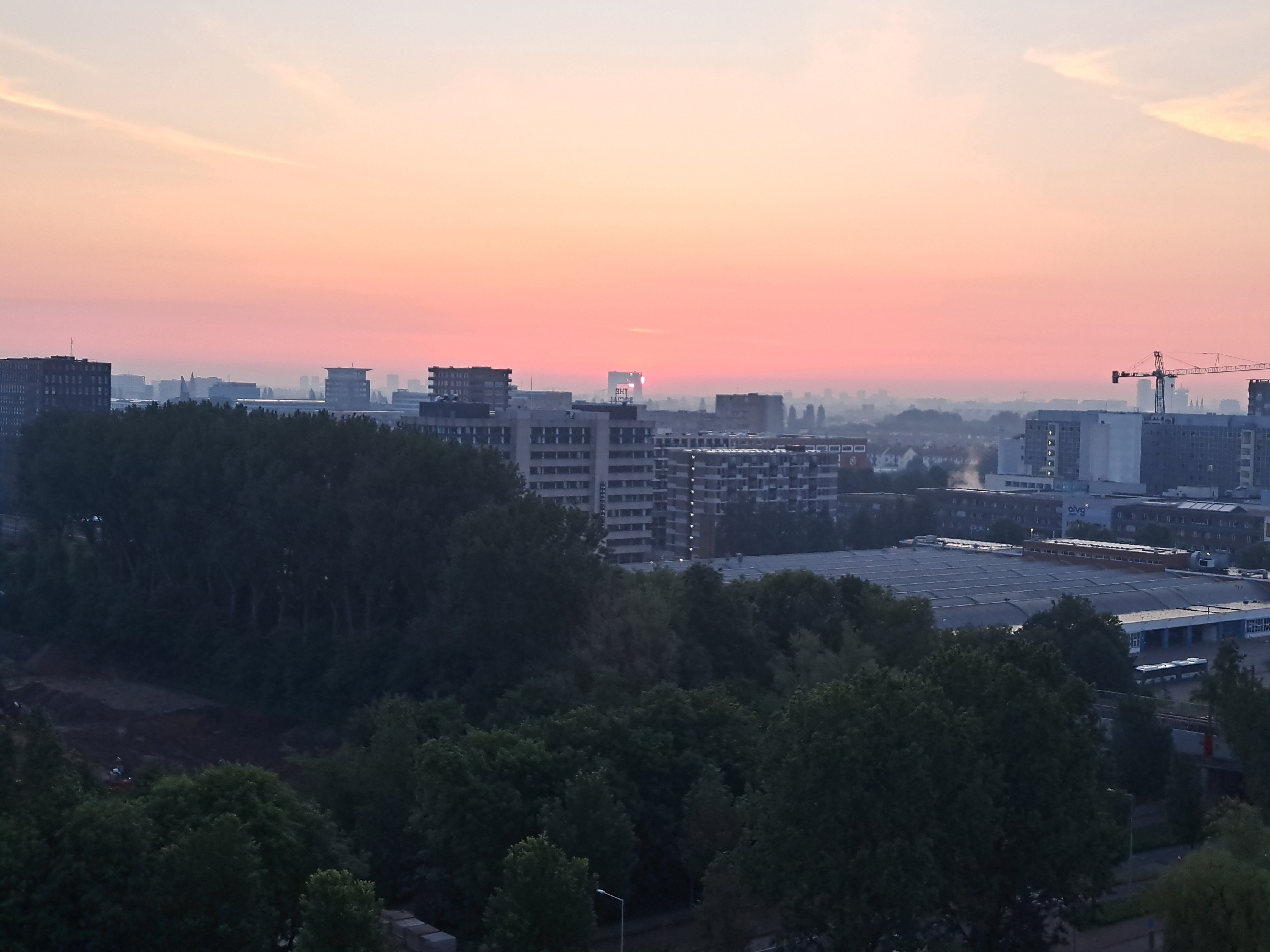
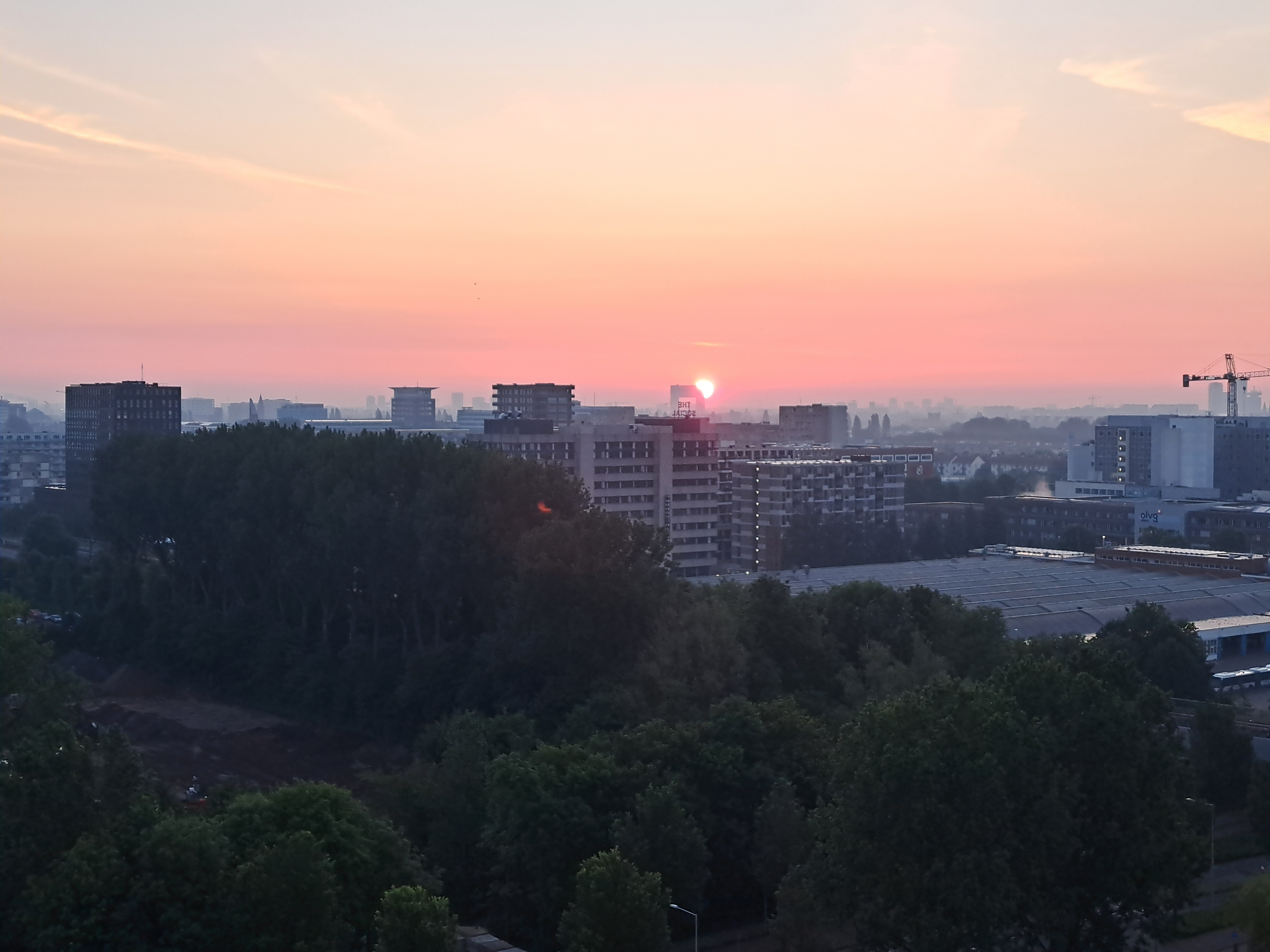
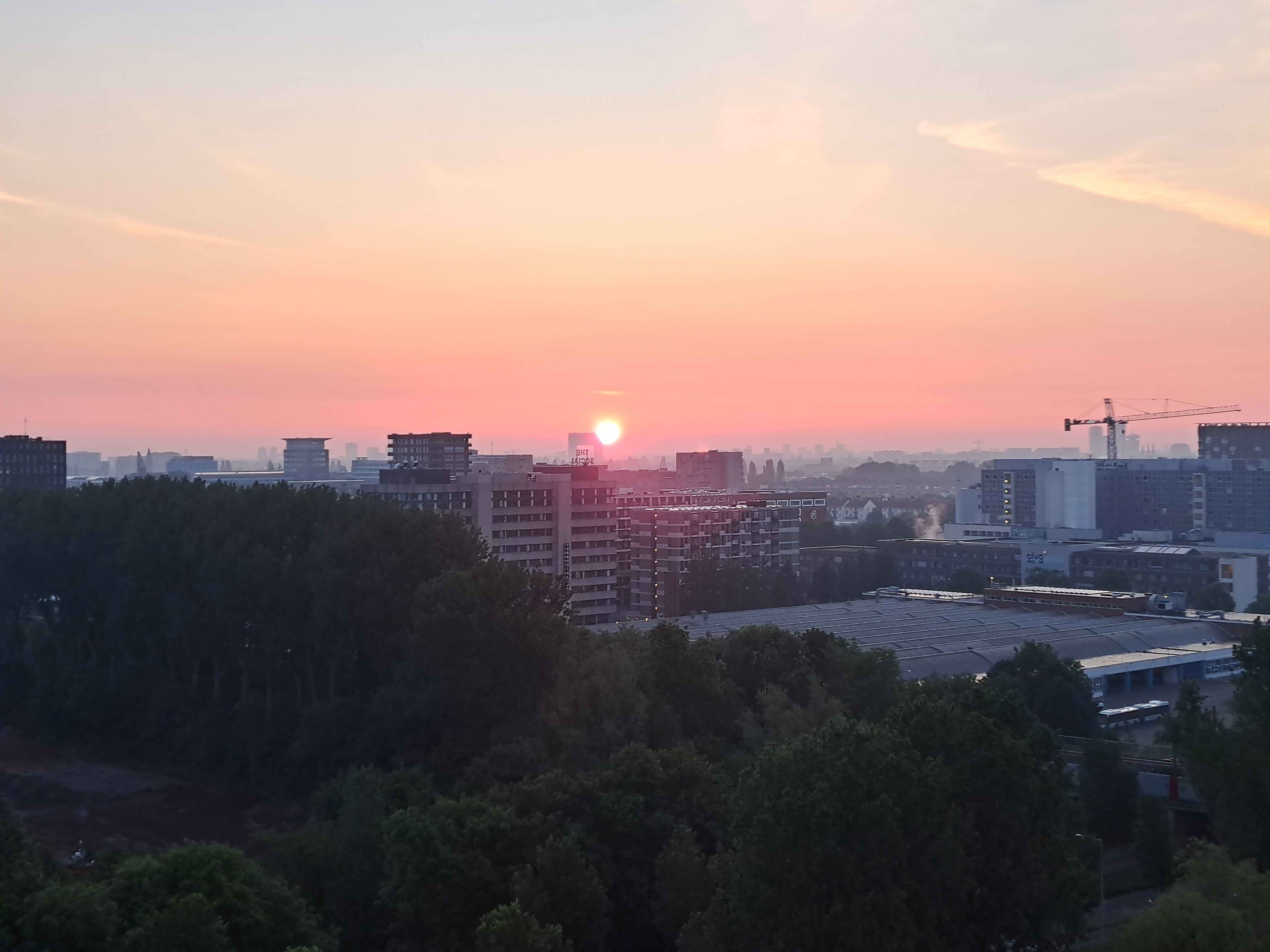
The Druids had Stonehenge; I’ve got this nifty building to gauge the passage of the seasons as our ball of dirt orbits the sun on its tilted axis… 🙂 Took these in sequence on May 21; the sun has since move further north (and west, it feels like to me, but I’m no expert) as it rose each morning (to left, in these images) and now moved back south (and east, it seems to me, but again: no expert). I do know that, come the winter solstice, I won’t see the sun rising at all from my mostly north-facing apartment.
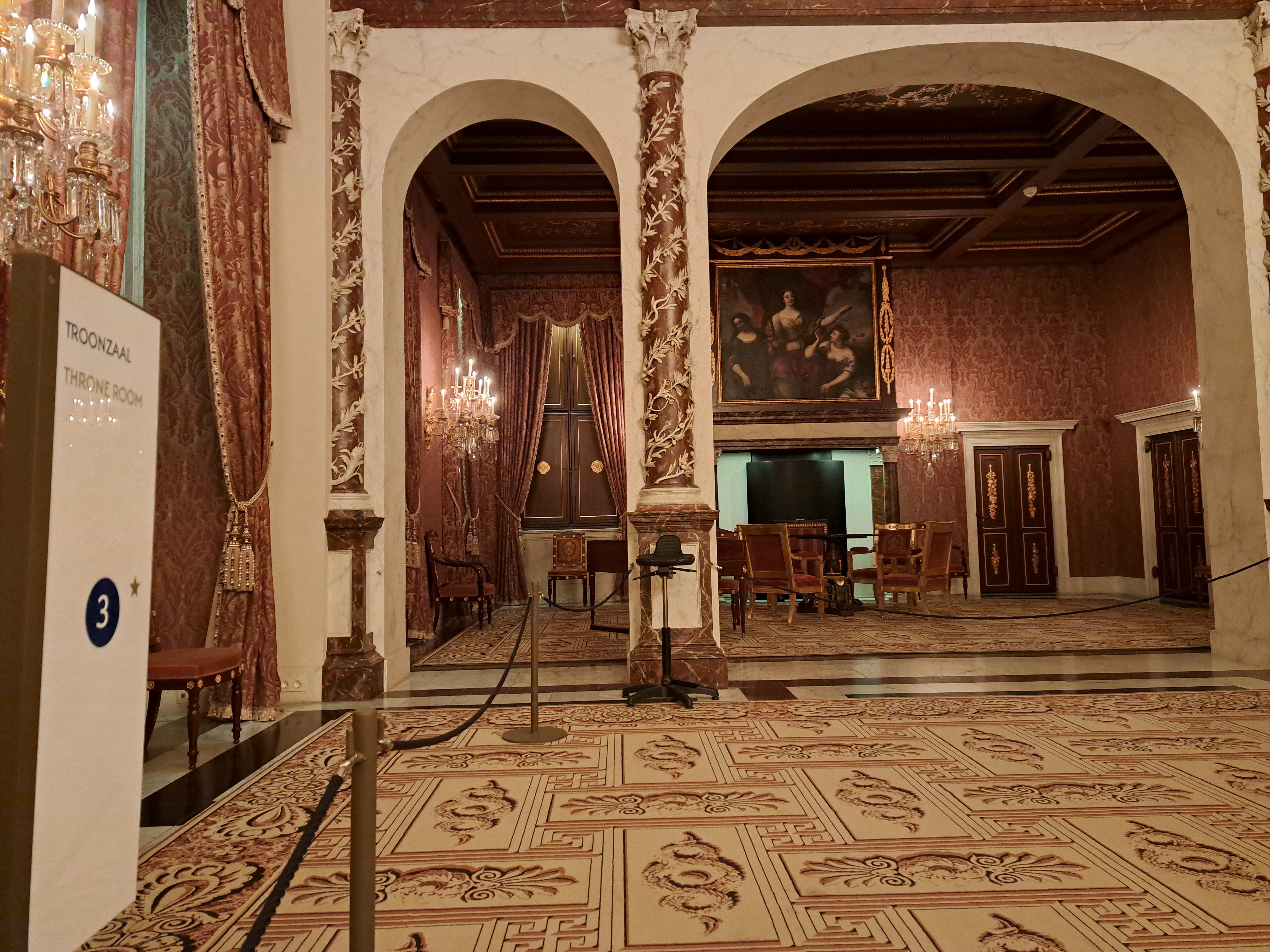
All from the Royal Palace in A’dam, which we showed you once before when we’d just returned from the US and had no backlog of remotely legit “royal-ish” stuff to share with you. I’ve now stocked up on royal stuff from Berlin as well as a few different corners of NL so I can just share all these overly-impressive and imposing doorways, sitting rooms, waiting rooms, etc. etc. all in one big post. Fascinating are all the coats of arms in the gallery below, with SPQA at the top. (As in, Senate & People of the City of Amsterdam in direct imitation of classical Rome’s SPQR.) I’d never noticed that before, but have since seen the same thing on a bridge or two around town. One thing I will say about constitutional monarchies such as this one: they allow the State (by which int’l law means Nation State, not New Jersey or Alaska) itself to retain a certain dignity that rises above the politics of the moment. IMHO the US has lately tended to test the value of a single person being both head of state and head of government, often with disconcerting results when it comes to the dignity of the State itself…
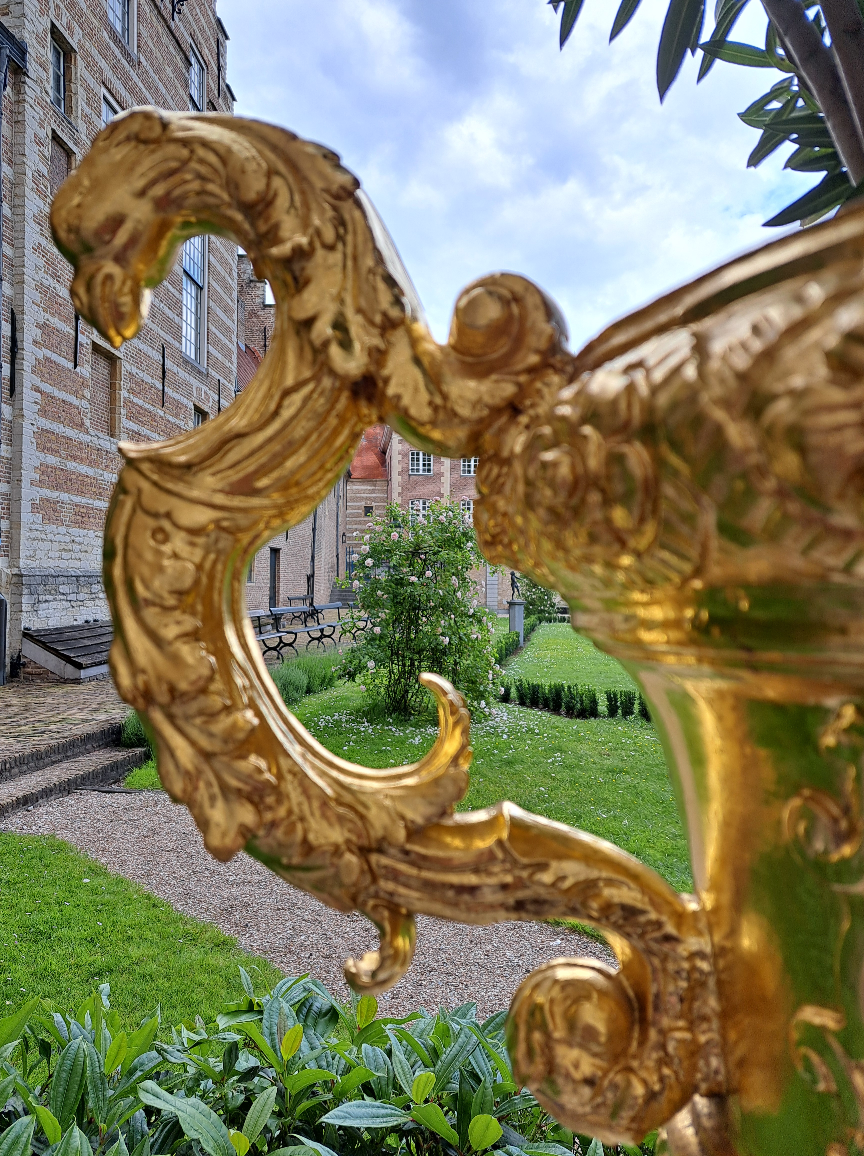
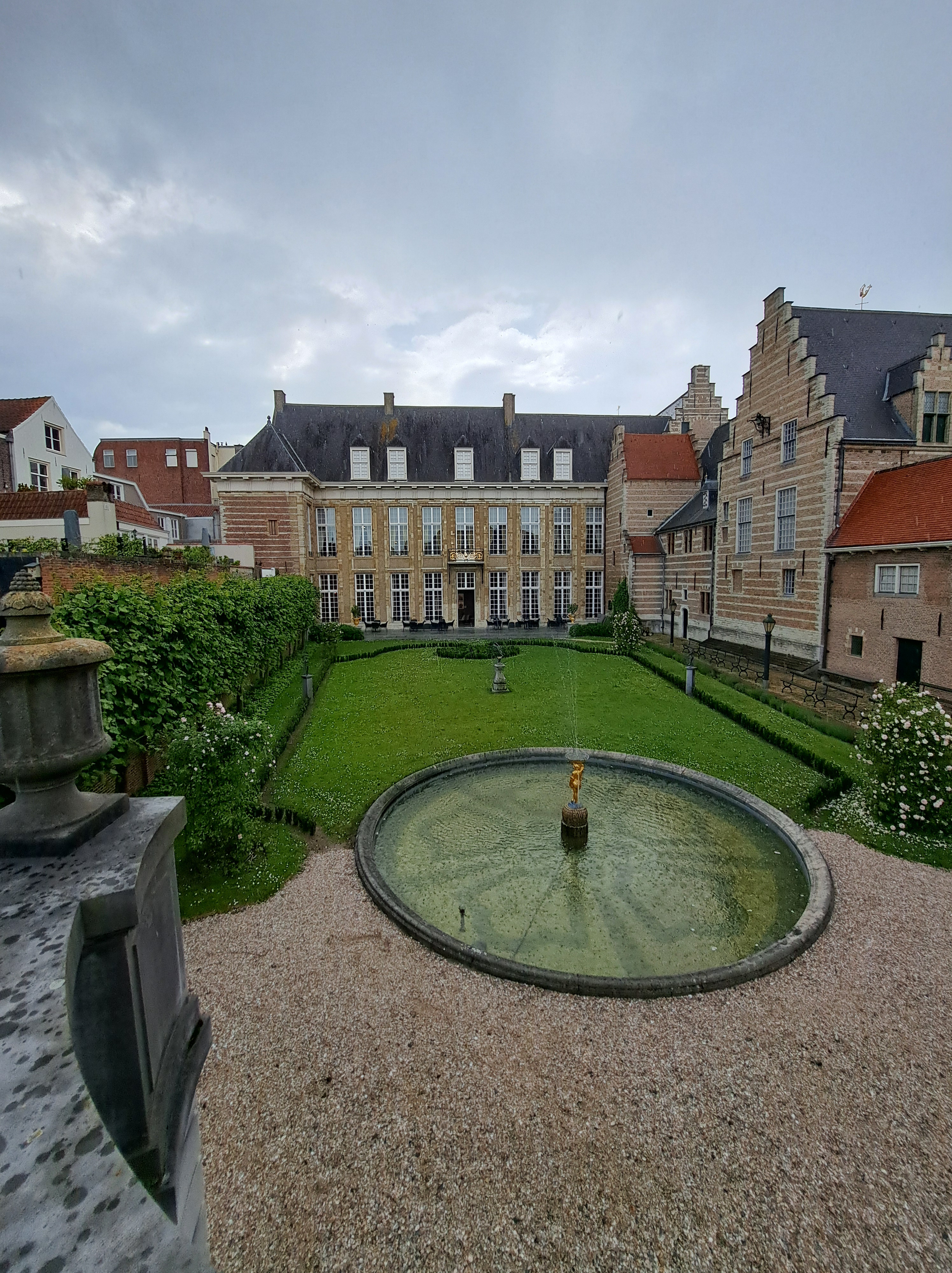
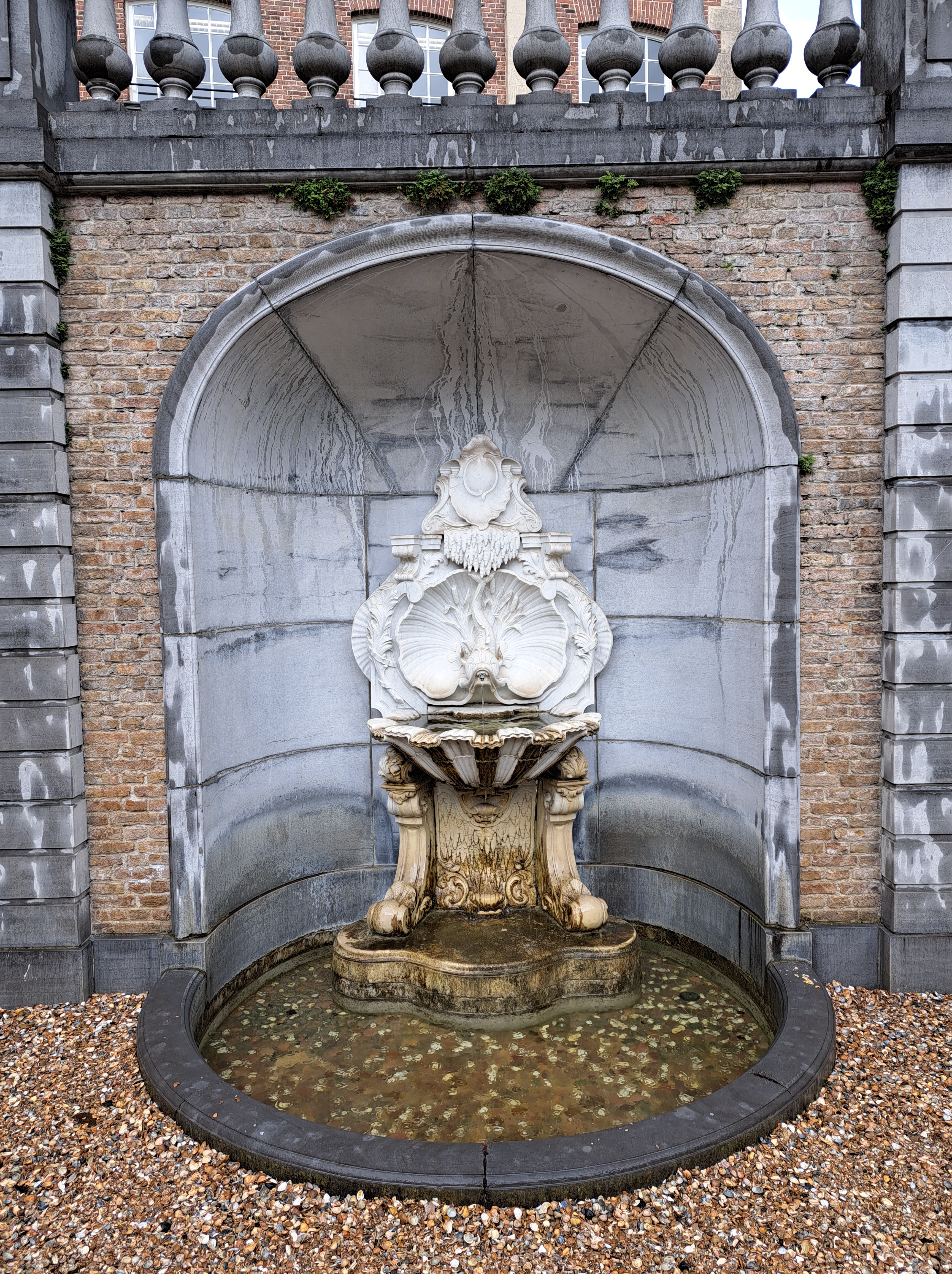
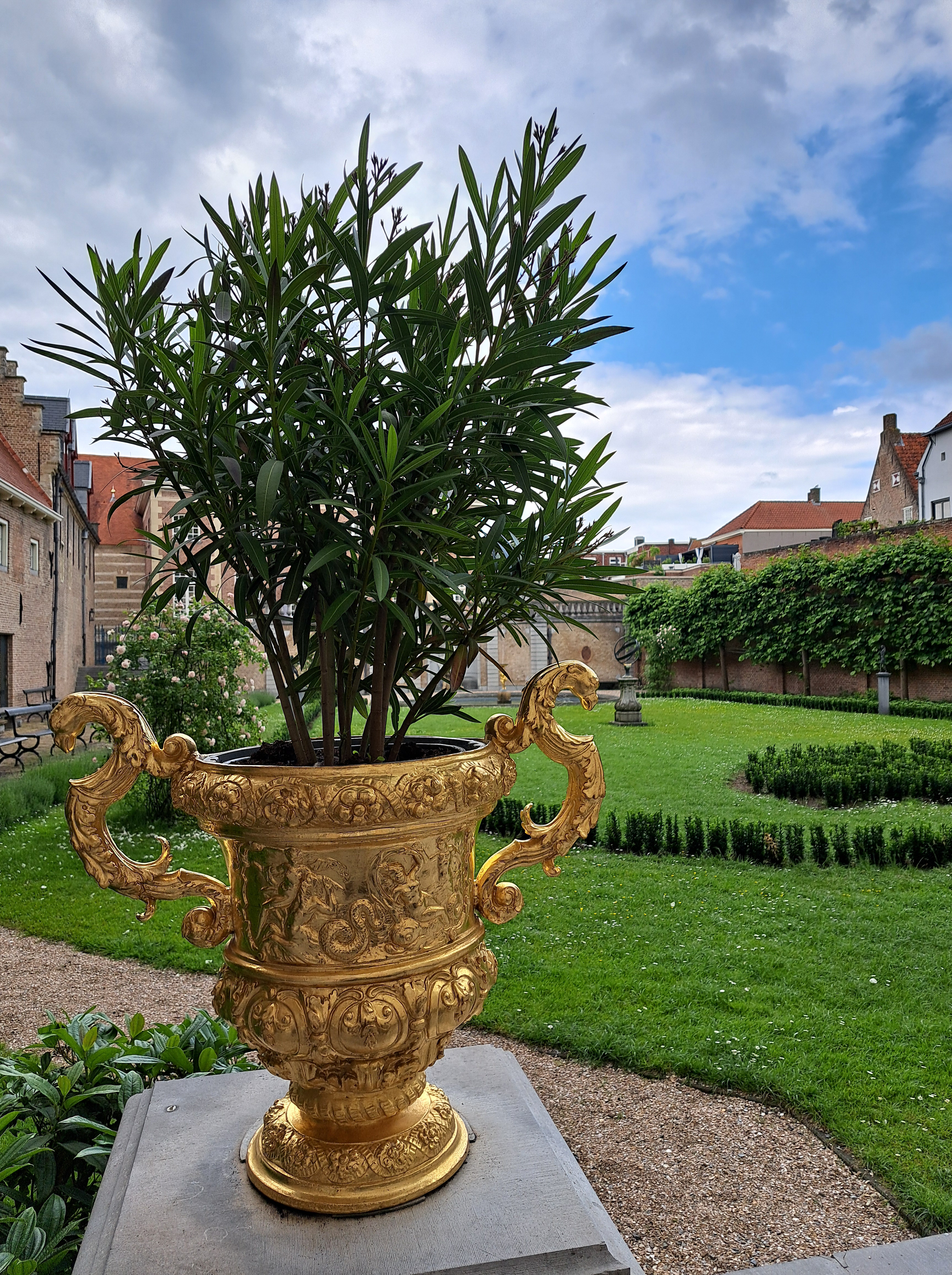
Goodness me, it would appear that I’ve not yet shown you any views of the lovely “Markiezenhof” or “Marquis’s Home,” the museum / formerly – sometime – royal – related historical museum and structure which spurred my bike and train adventure down to Bergen Op Zoom, Vlissingen, Middelburg, and so on. Between this and my visit at long last to the Muidersloot, I’ve concluded that most palace – castle type items in NL (at least those that are now open to the general public as museums) must have a superlative in their self-description. This one says it’s the oldest (maybe also best maintained?) city palace in … all of Europe was the claim, if I recall well. During the Napoleonic wars, this area was a very important prize for the French, so the museum has lots of maps and stories from that time, when it would appear at least Napoleon’s brother and maybe the man himself visited this very building.
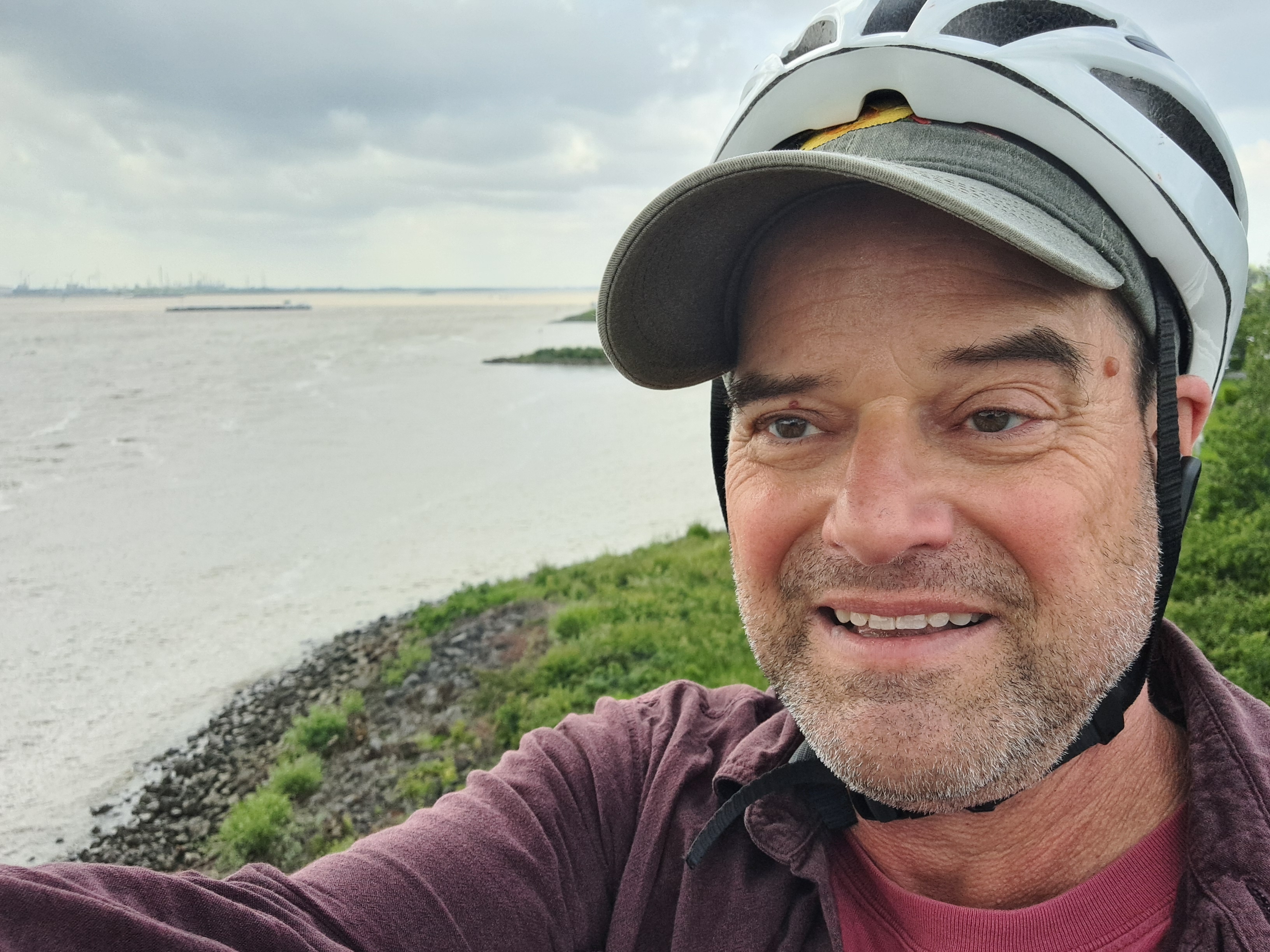
Technically this probably isn’t urban, but it’s such a busy waterway near Europe’s largest port that it feels urban. This is the view looking downstream (towards Rotterdam and the North Sea), from the bridge I biked over as noted in the prior post.
The story behind these two photos above & below is that on the day I’d booked a pre-paid hotel for myself in the lovely Noord-Brabant town of Bergen Op Zoom, I awoke to find that the trains which normally run regularly between A’dam Centraal & Vlissingen (both of which we’ve shown you in the posts linked there) were stopping at Dordrecht. This was due to overhead power lines being out on the bridge over the last big-water crossing in southern NL before the border w/BE a bit further south. All the options being offered included many connections as we did a loop east and then back west, so I said “f-it, I’m sure I can bike from Dordrecht to the next train station south of the water, pop my bike back on a train there, and then continue to Bergen Op Zoom as planned. I mean, after all, it’s not like the bridge is out, and this being NL, there’ll be at least an adequate bike lane and route all the way in.” As demonstrated in the photos below, it was possible, and by the next day I was able to take the train straight through from Vlissingen home to A’dam. ‘Twas fun and felt rather adventurous, if I do say so myself…Later on I realized that Zevenbergen, to which I biked, was actually farther away than the station at Hoge Zwaluwe (I wonder if at least Sam will bother and have time to map-search these places, hmmm…), but had I known and biked there instead, I’d have missed these lovely canals and farmlands above and below, and just been industrial all the way except some of Dordrecht city which was often quite pleasant.
Since this is the main highway connecting all the largest Dutch cities and ports including Rotterdam to the largest Belgian cities and ports including Antwerp and Brussels…well, as you see it’s a pretty long and busy bridge. Still fun, though loud. There was a gas station on the other side where I biked on up and rewarded myself with an iced coffee from the counter of a franchise whose name is common.
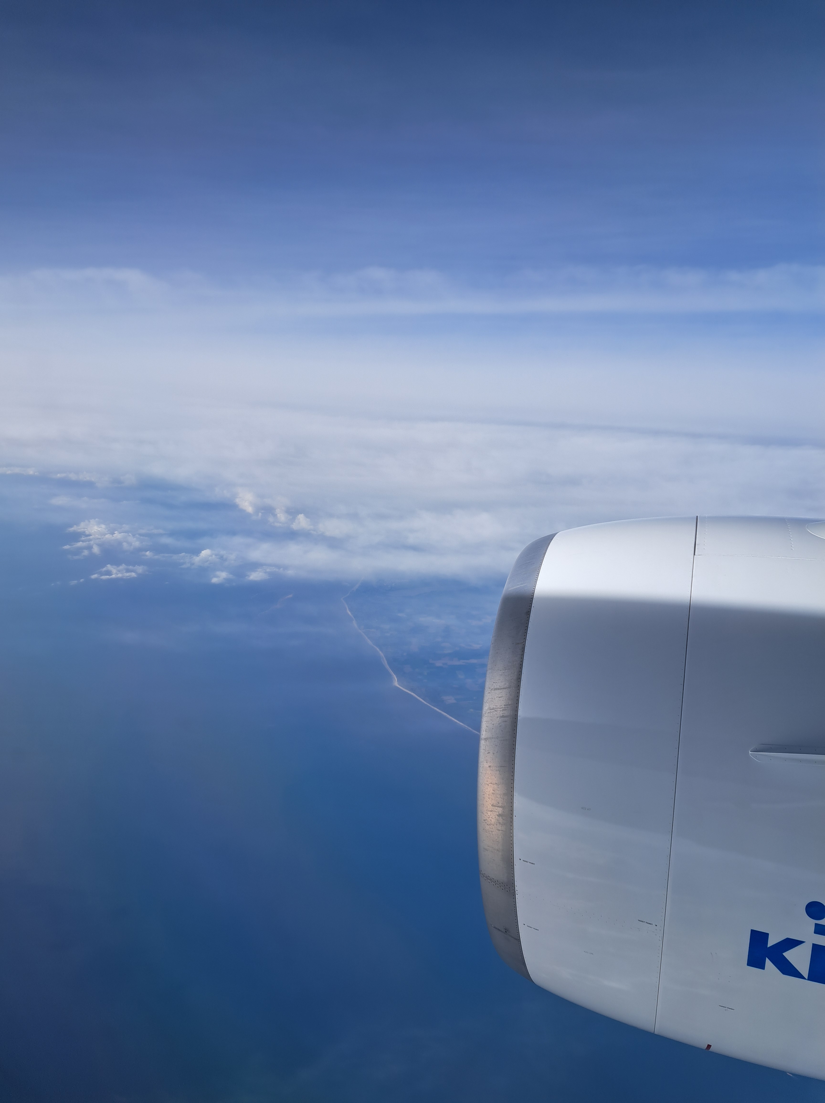
Above, the piece of the southeastern coast of England, and below 15 minutes later with the Dutch coast dimly visible behind many offshore wind turbines. All from mid-May’s return to A’dam after the US weeks.
The days around the solstice brought spectactular sunsets from my apartment. This was nearly 11pm on the 22nd of June :-). I must cherish this, when we’re six months on and I’m winter-depressed again…
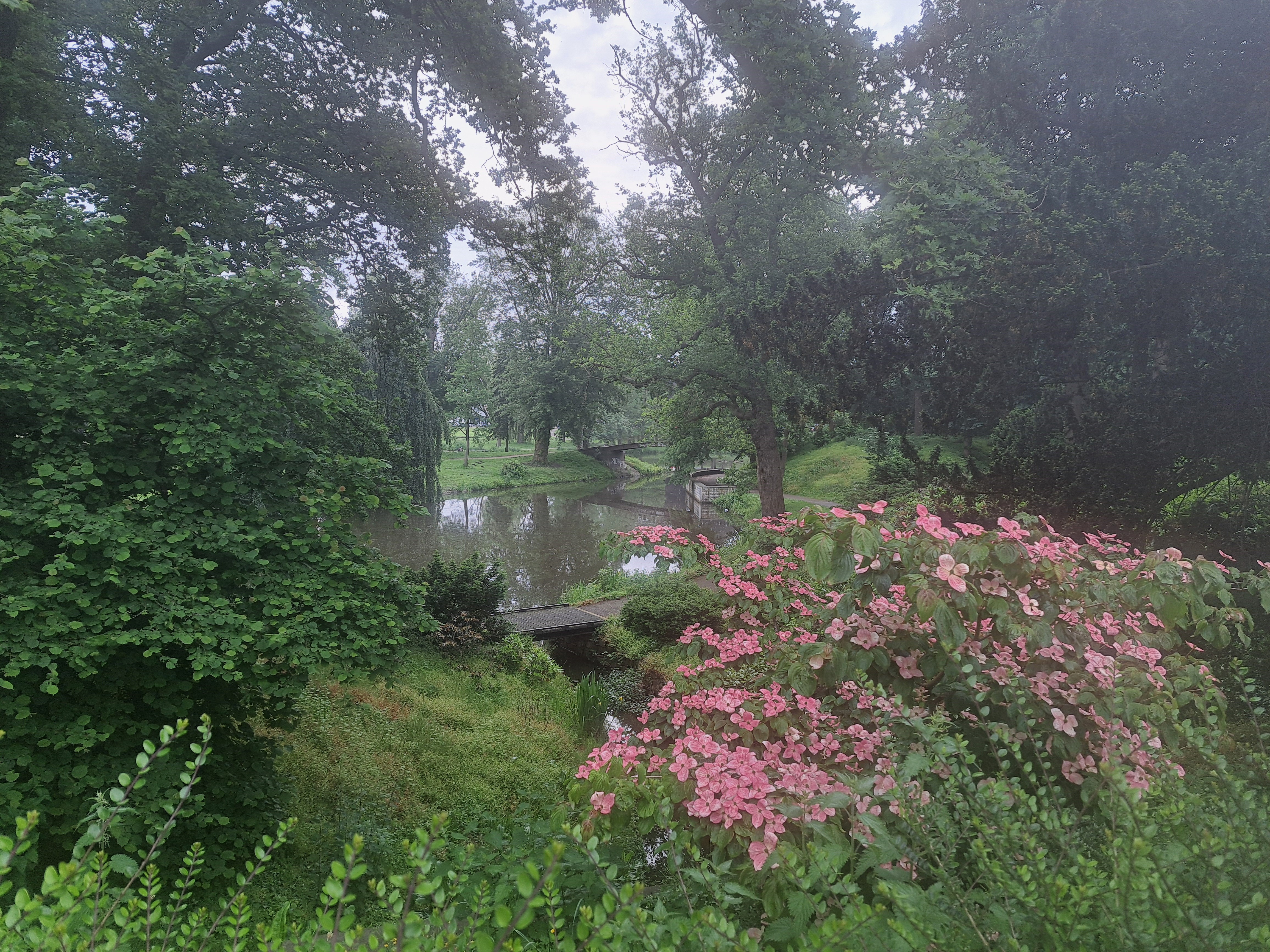
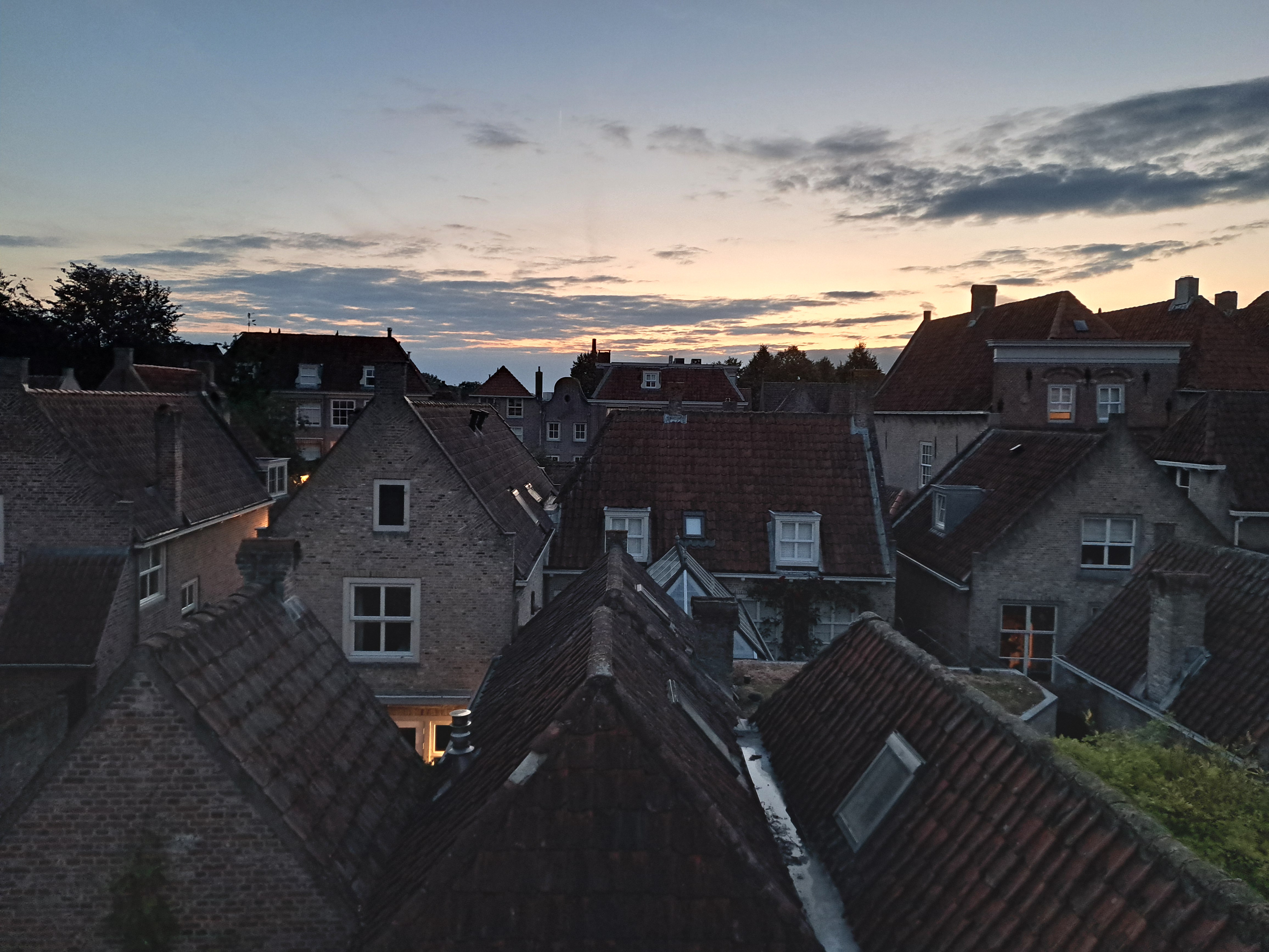
There are two islands in this photo of the canal / moat that surrounds the lovely Noord Brabant town of Heusden, where I spent a week at the start of July. More to come from those evening after-workday-from-home walks.
 This entry is perhaps my most robust plug thus far for any of my friends, relatives or other readers who might be considering a visit to the Netherlands and / or me to remember a very important and oft-overlooked fact: though small as nation-states go, the Netherlands is much, much more than just Amsterdam. At the risk of incurring his wrath should he recognize himself, I’ll cite the example of one dear young relative whose original plan for his first-ever NL (and Paul) visit had been to use a connecting flight situation to spend a few days here, plus a few days in Stockholm. As plans evolved, said same fabulous relative decided to stick with NL only, had what I believe to have been a lovely visit exploring many cities and towns in this lovely, bike-friendly and well-organized nation…and has now planned another NL-only return visit with significant ambitions again to explore further afield than the (indeed lovely) “capital” city of Amsterdam. (Capital because that’s what everyone says it is – not, as previously noted in these pages, because it’s the seat of either the State or the government.) The connection to this current post: these are all from the lovely village of Heusden, on the Maas (Meuse) river in Noord Brabant an hour’s bike ride from Den Bosch (‘s Hertogenbosch, formally). As noted last month, I had the pleasure of spending a work-week living here at a friend’s house due to some tourist-visitor-related house swapping arrangements. I first visited Heusden on Christmas day in 2021, and shared my first Heusden posts in January 2022. You’ve seen it off and on since then, but today and in a couple future posts, we’ll be sharing more of its lovely charm. And any future visitors please note: NL is chock-full of such lovely, explorable towns and villages surrounded by moats and boasting picturesque streets, windmills and shop signs…and magnificently bike-friendly infrastructure. Just sayin. (Insider tip: you can use this blog best to plan potential visits by being sure you’re in the “full view” mode, and then looking for the small-print “categories” and “tags” that do very definitely appear at the bottom of every single post here, and then simply tap / clicking – for example on this post – “Heusden” to pull up all past posts that I’ve tagged as from Heusden. :-))