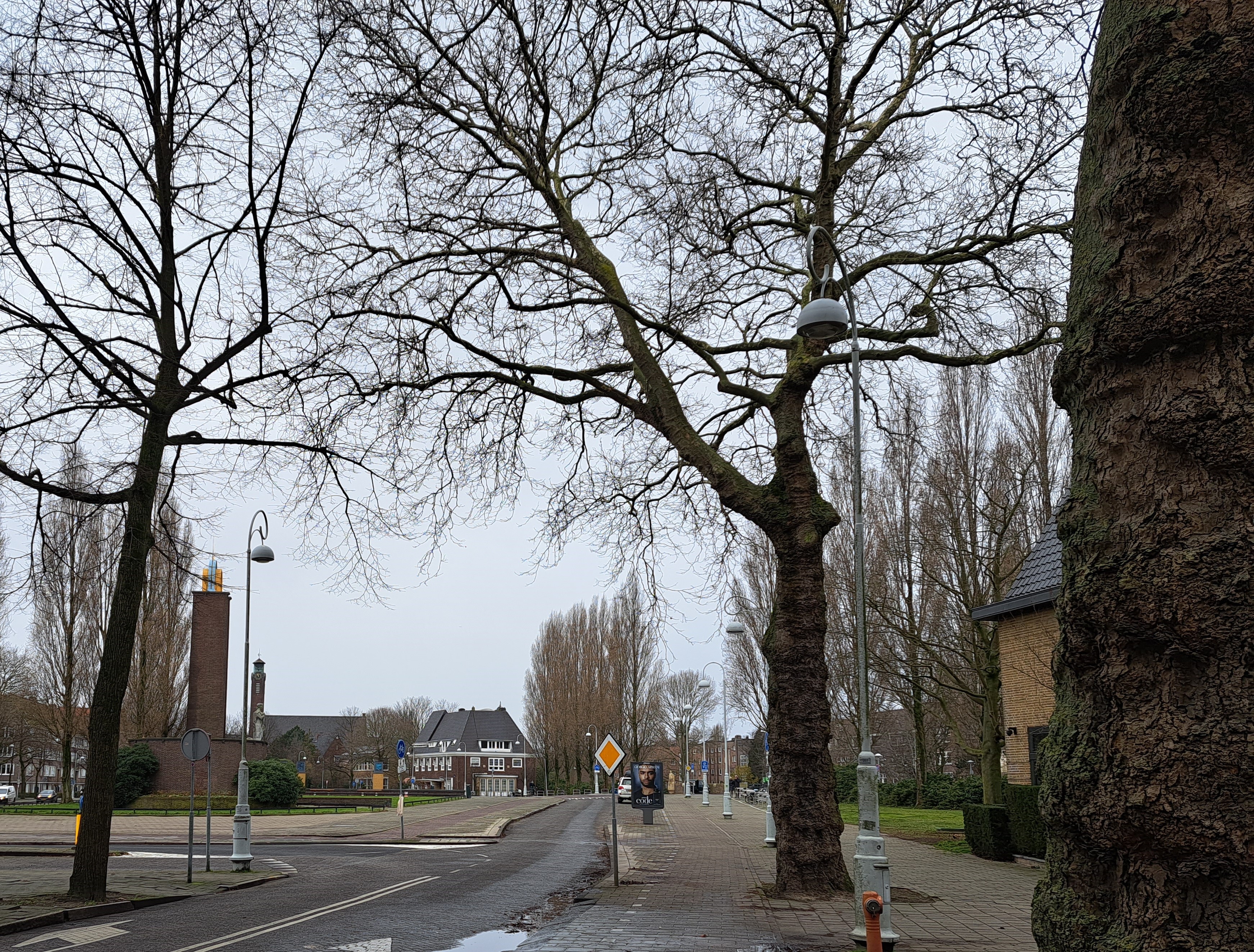
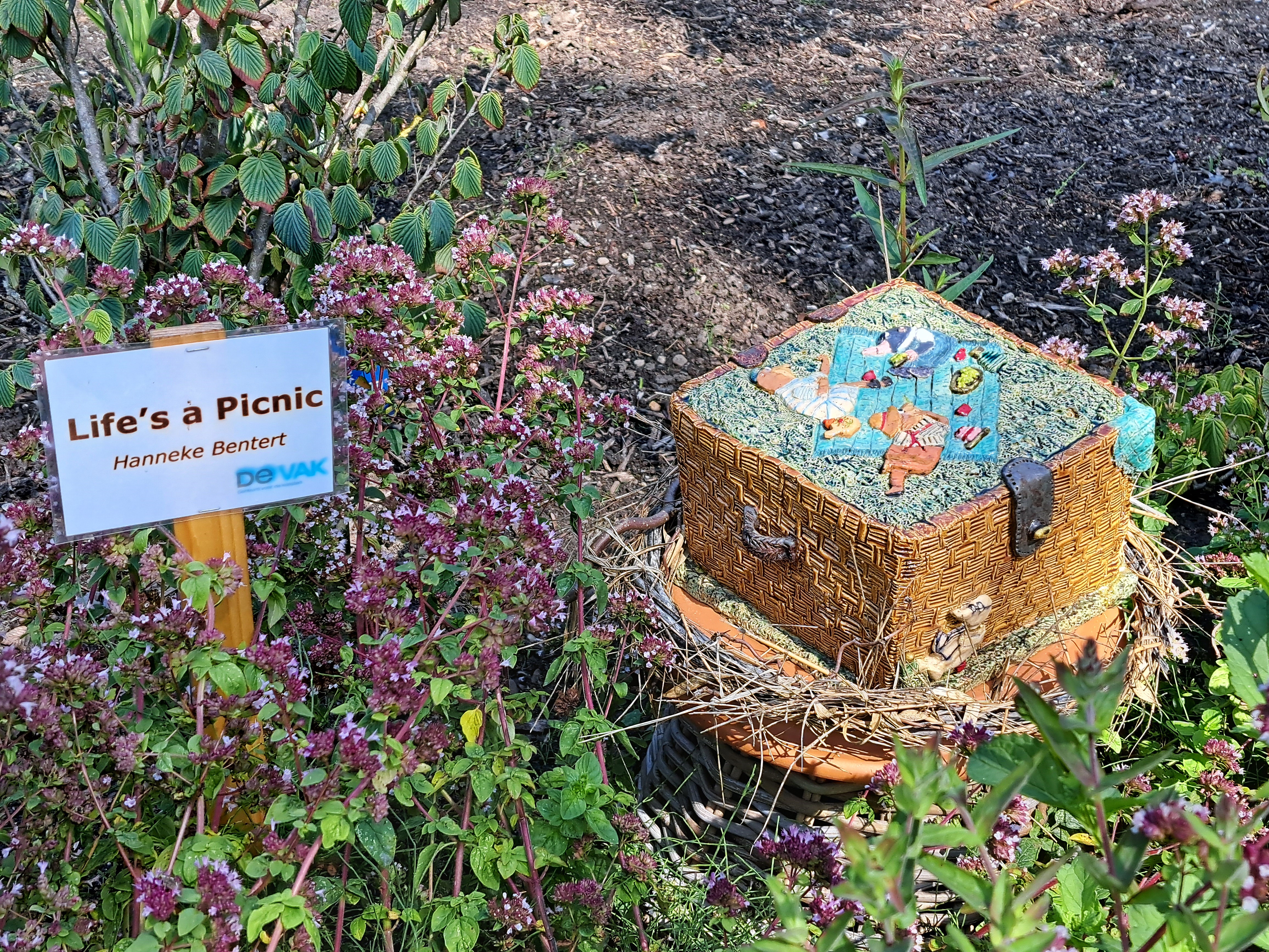
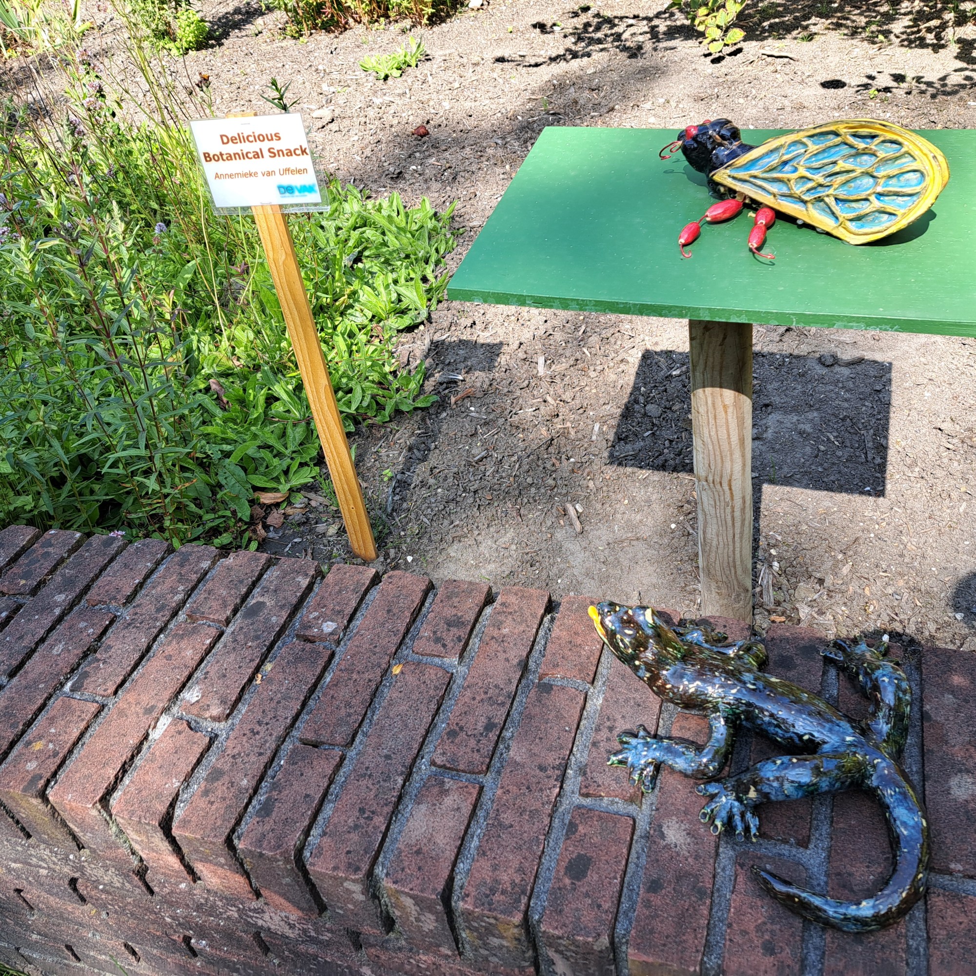
Delft Technical University’s Botanic Garden had a nature-themed sculpture exhibit placed in strategic locations along the paths and beds, when I visited Delft during the first week of my lovely stay-in-NL vacation last month.
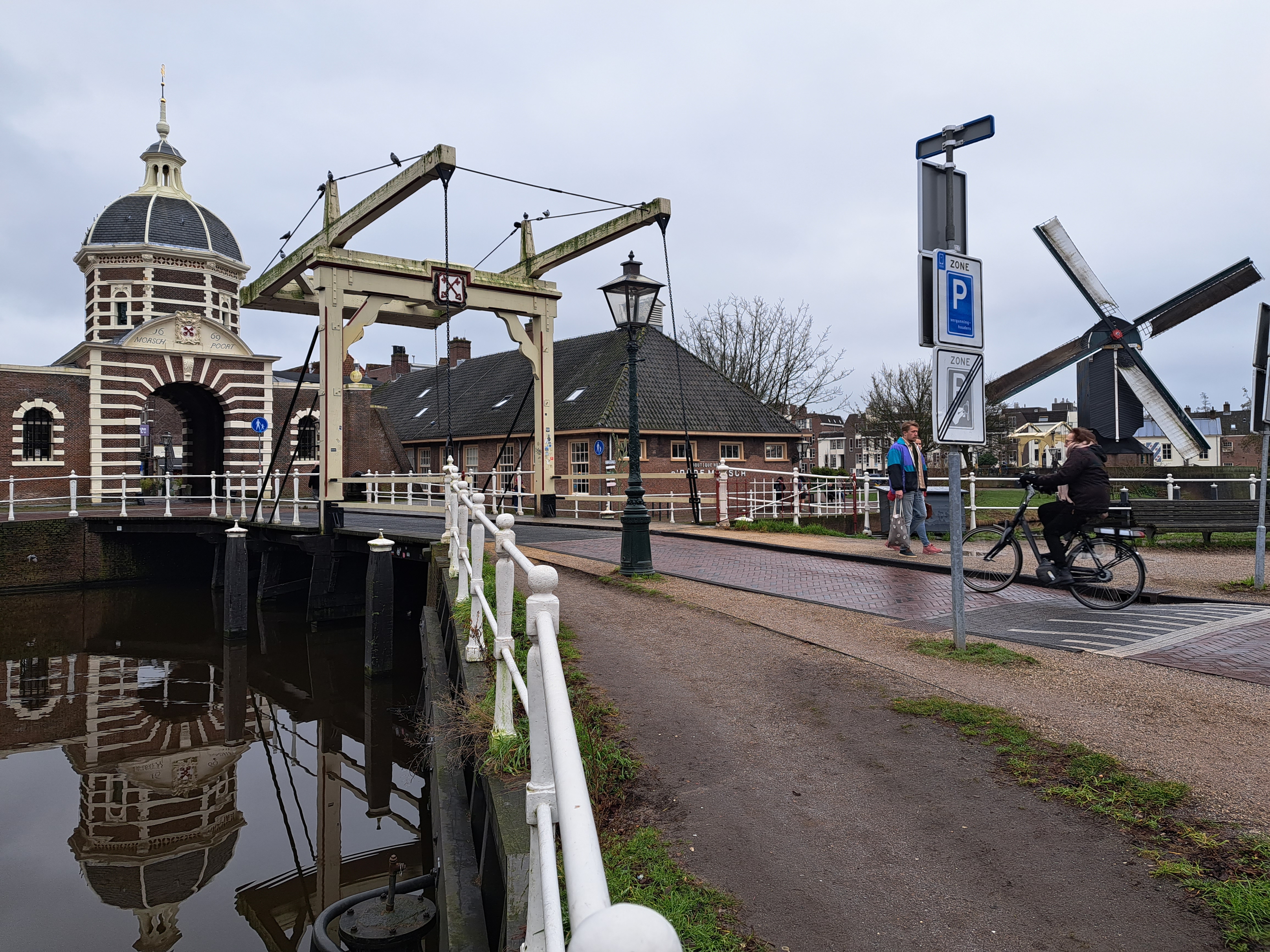
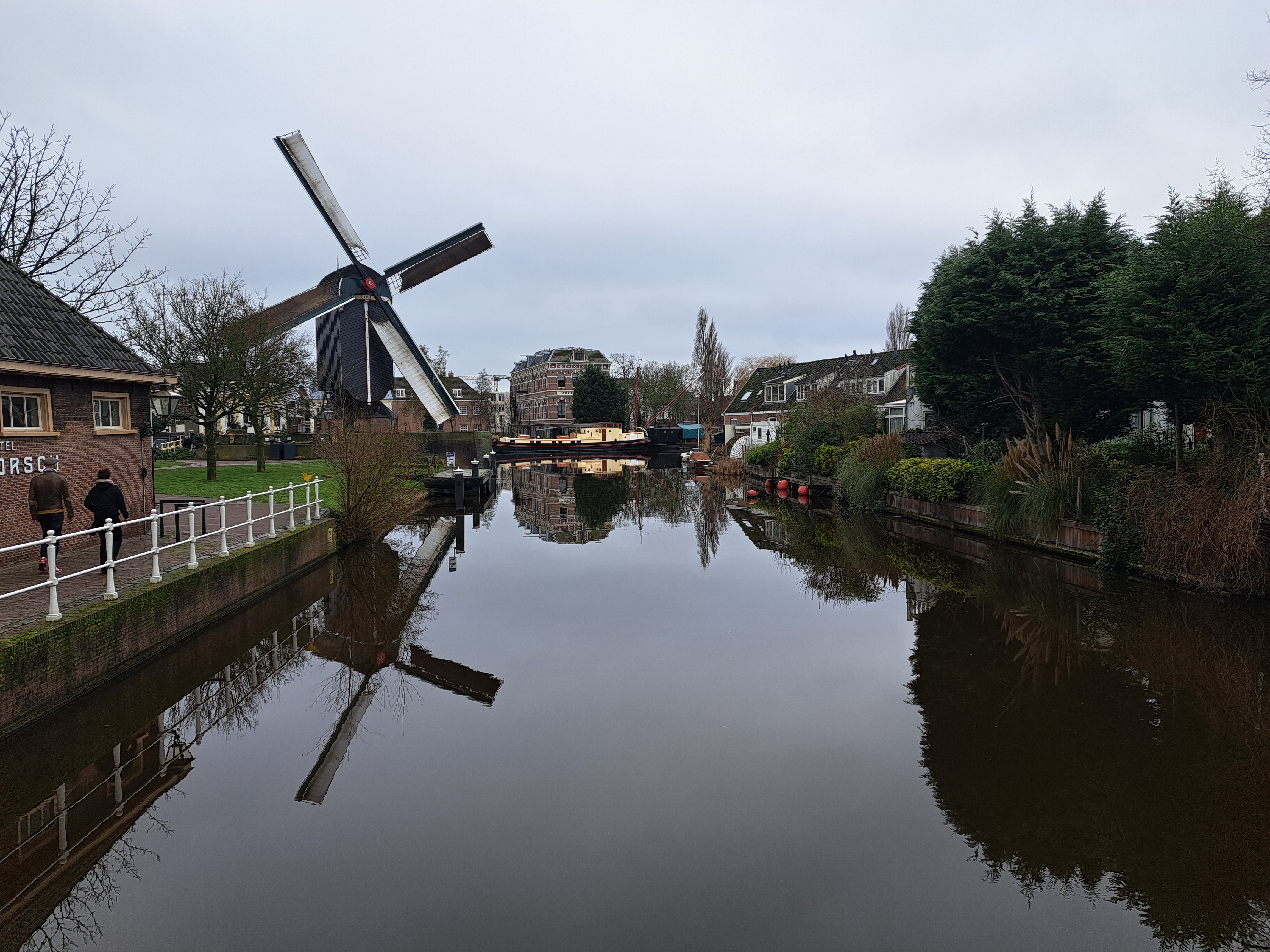
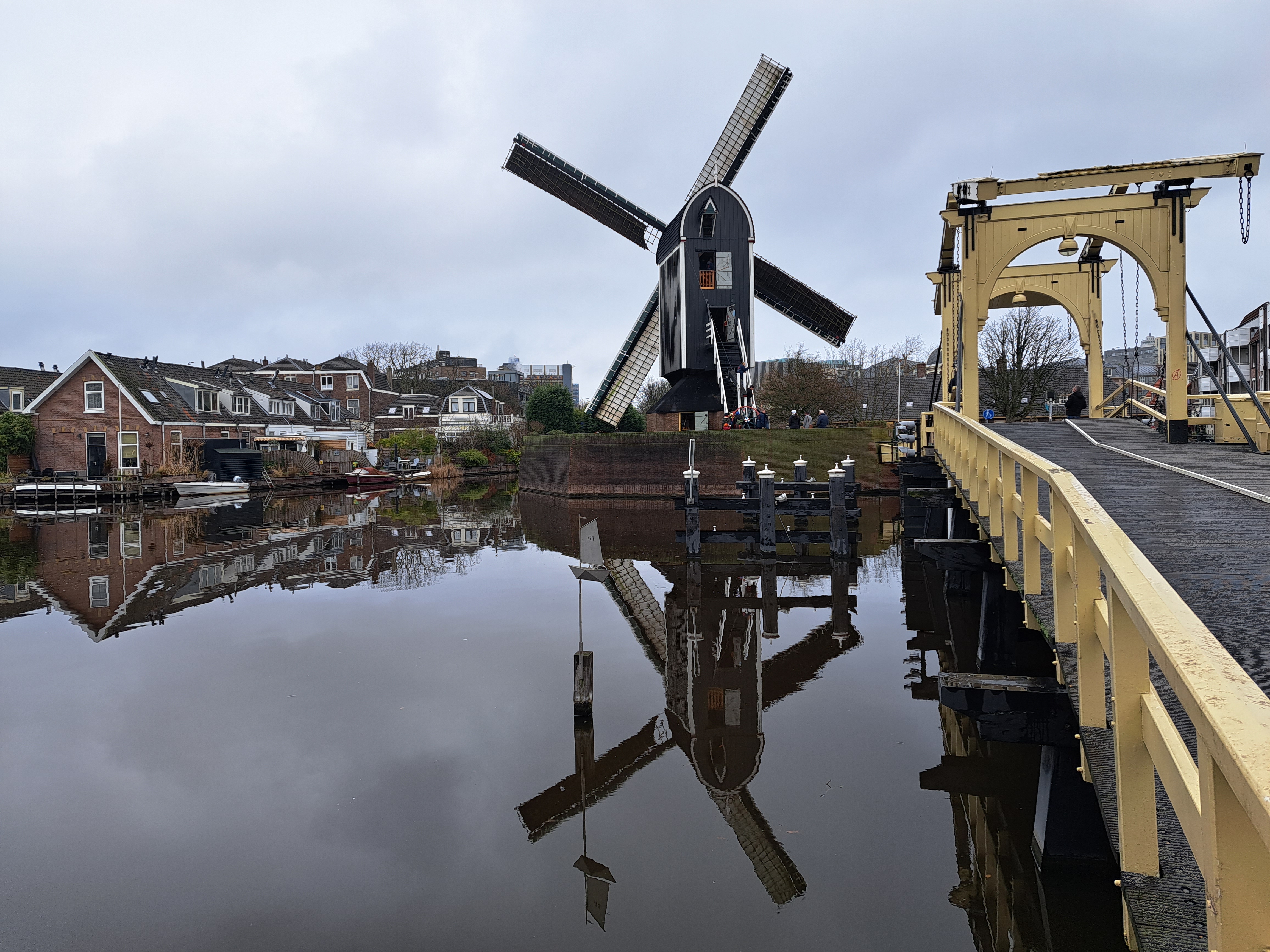
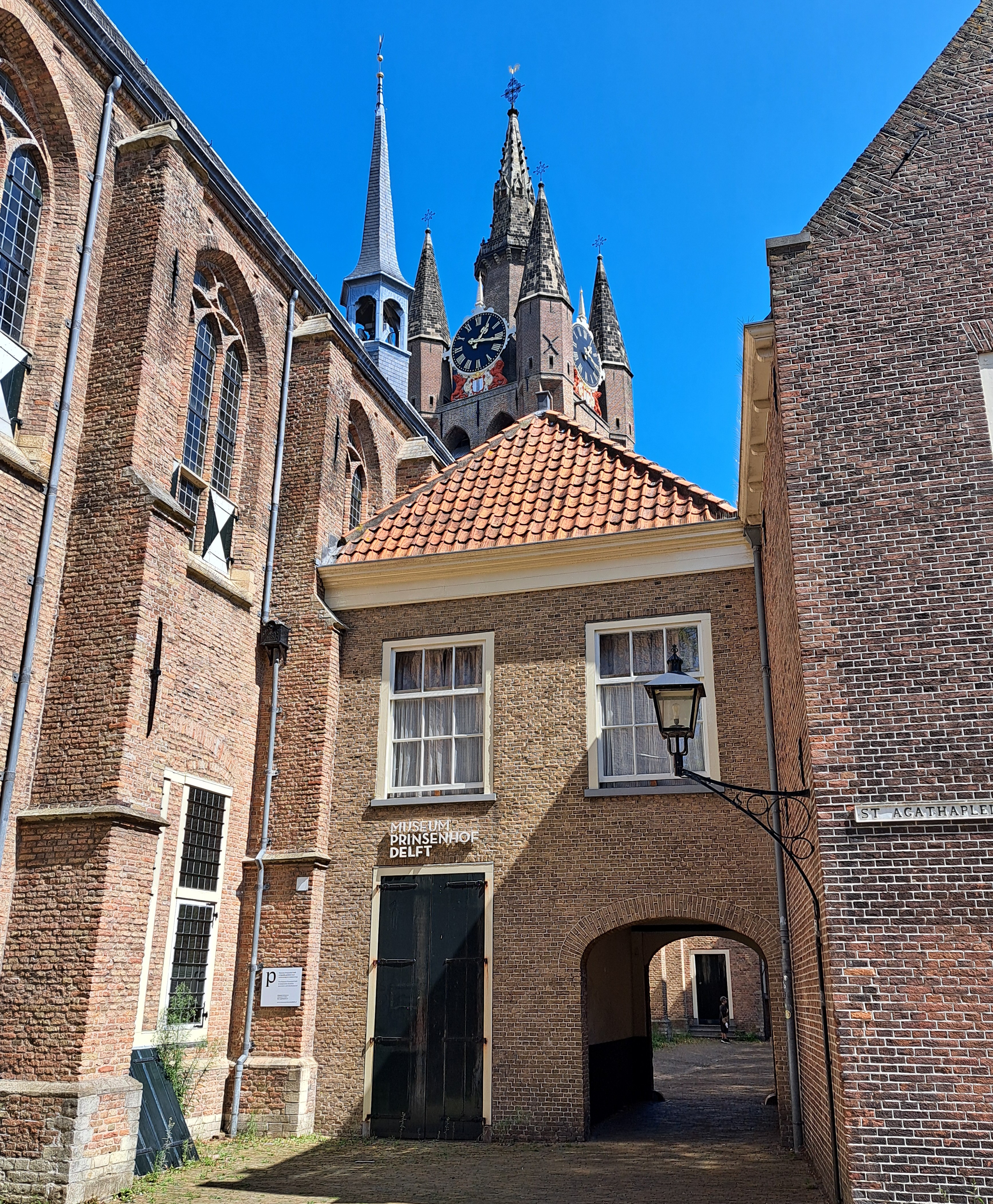
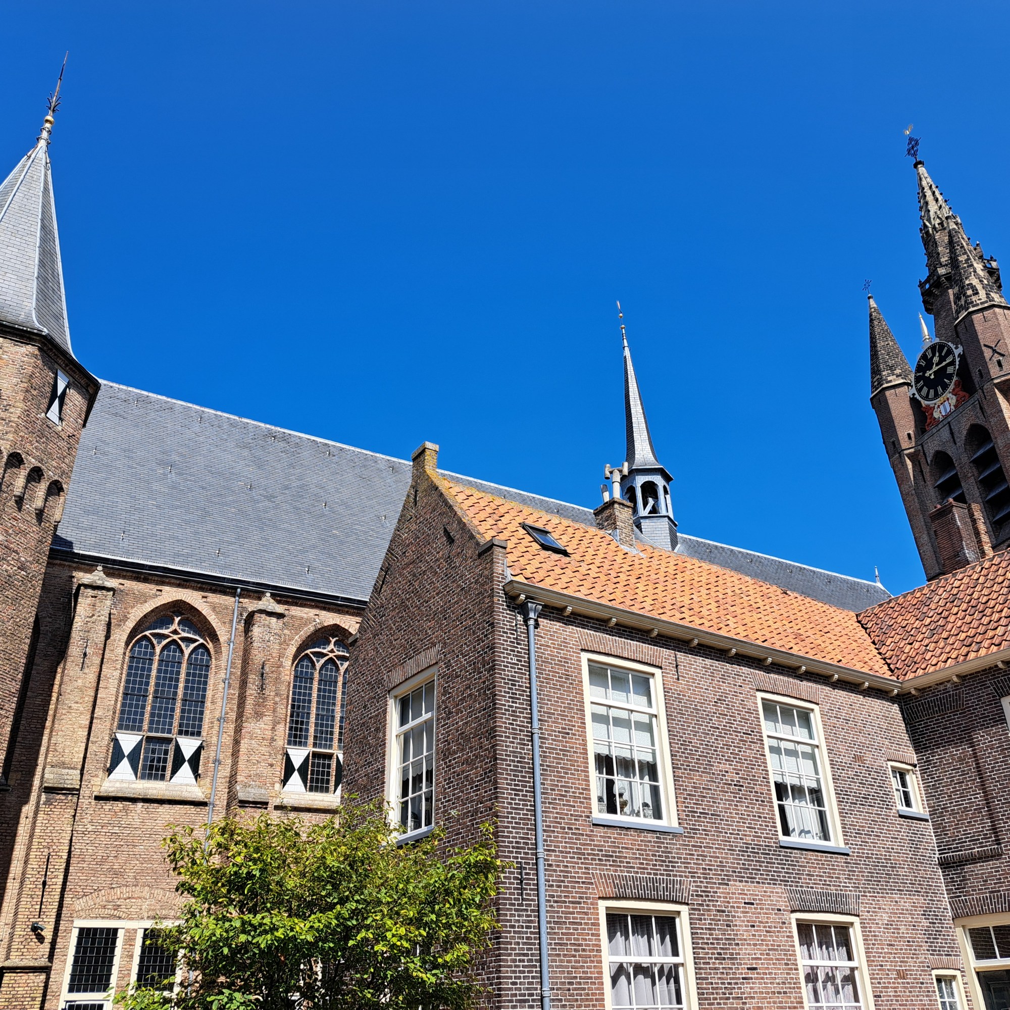
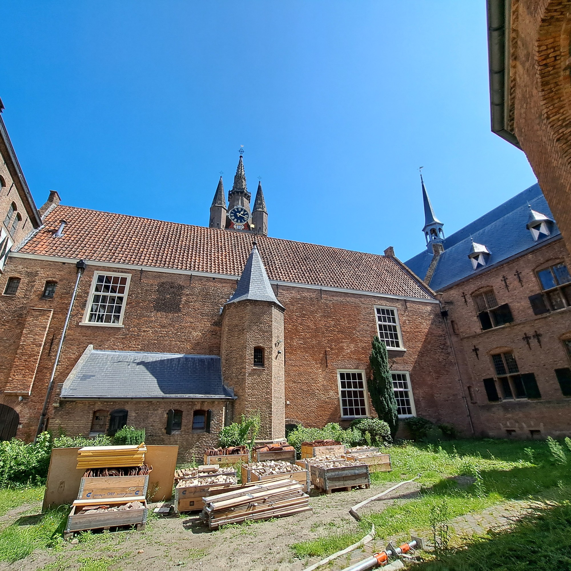
I made it back down to Delft for a day trip last weekend. The Prinsenhof Museum is closed for long-term renovations, so I’ve got only external shots of this compound. Starting with the 80-years war, it housed the Orange-Nassau house, which later became NL’s royalty. Funny, since I’ve been living in a constitutional monarchy, how much harder it is to find legitimately royal-type shots than, say, France, which hasn’t been a monarchy since the 1800s. Or Thailand, where it’s fairly visible as we’ll demonstrate in some future posts.
Technically this probably isn’t urban, but it’s such a busy waterway near Europe’s largest port that it feels urban. This is the view looking downstream (towards Rotterdam and the North Sea), from the bridge I biked over as noted in the prior post.
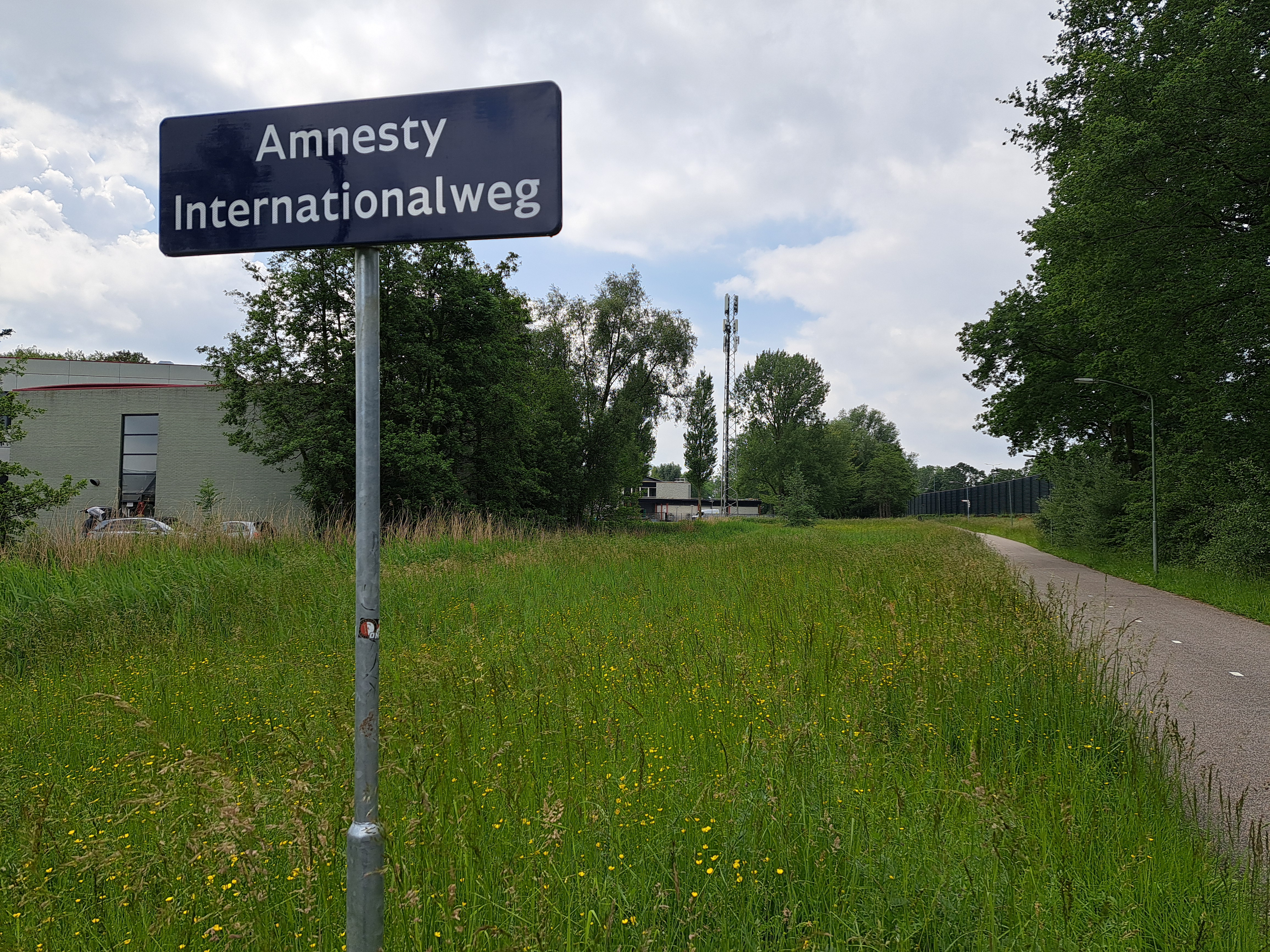
The story behind these two photos above & below is that on the day I’d booked a pre-paid hotel for myself in the lovely Noord-Brabant town of Bergen Op Zoom, I awoke to find that the trains which normally run regularly between A’dam Centraal & Vlissingen (both of which we’ve shown you in the posts linked there) were stopping at Dordrecht. This was due to overhead power lines being out on the bridge over the last big-water crossing in southern NL before the border w/BE a bit further south. All the options being offered included many connections as we did a loop east and then back west, so I said “f-it, I’m sure I can bike from Dordrecht to the next train station south of the water, pop my bike back on a train there, and then continue to Bergen Op Zoom as planned. I mean, after all, it’s not like the bridge is out, and this being NL, there’ll be at least an adequate bike lane and route all the way in.” As demonstrated in the photos below, it was possible, and by the next day I was able to take the train straight through from Vlissingen home to A’dam. ‘Twas fun and felt rather adventurous, if I do say so myself…Later on I realized that Zevenbergen, to which I biked, was actually farther away than the station at Hoge Zwaluwe (I wonder if at least Sam will bother and have time to map-search these places, hmmm…), but had I known and biked there instead, I’d have missed these lovely canals and farmlands above and below, and just been industrial all the way except some of Dordrecht city which was often quite pleasant.
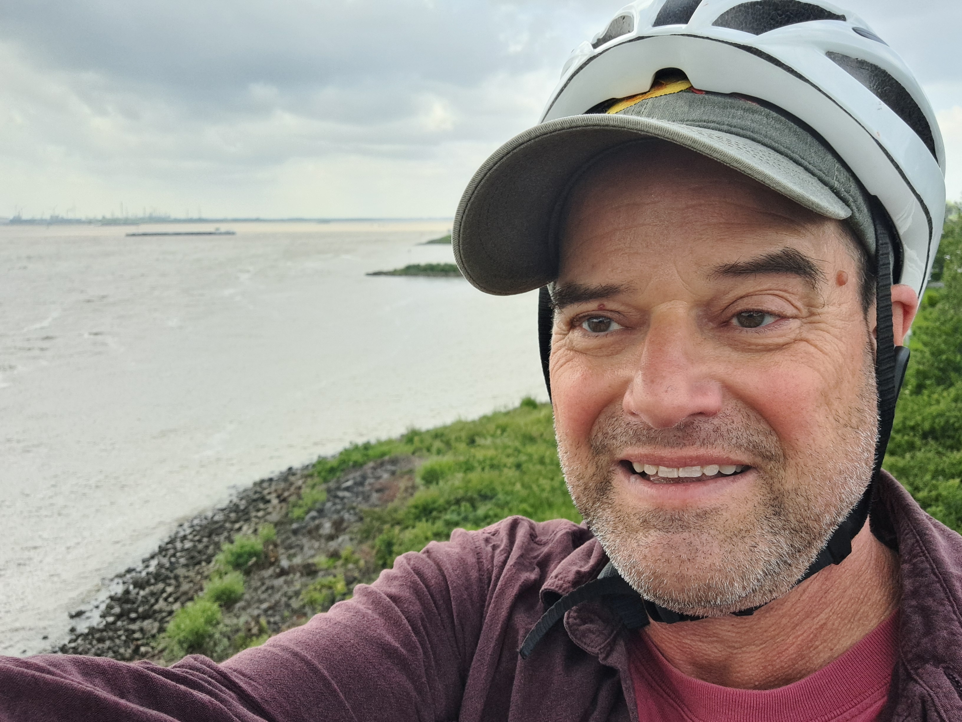
Since this is the main highway connecting all the largest Dutch cities and ports including Rotterdam to the largest Belgian cities and ports including Antwerp and Brussels…well, as you see it’s a pretty long and busy bridge. Still fun, though loud. There was a gas station on the other side where I biked on up and rewarded myself with an iced coffee from the counter of a franchise whose name is common.
2023 saw my first — and second! — visit to Geneva, with the second visit giving me the chance to watch the sun rise over mountains and lakes in France and Switzerland (above), with distant views including Mt Blanc back in France on the “far side” of Switzerland, as it were, from the side on which our plane had entered. The return flight from that first visit was an evening flight that let me watch the sun set over France and then watch cities over France, Belgium and NL light up (below) before we came in for our landing at Schiphol here in A’dam. One gallery for each flight, below.
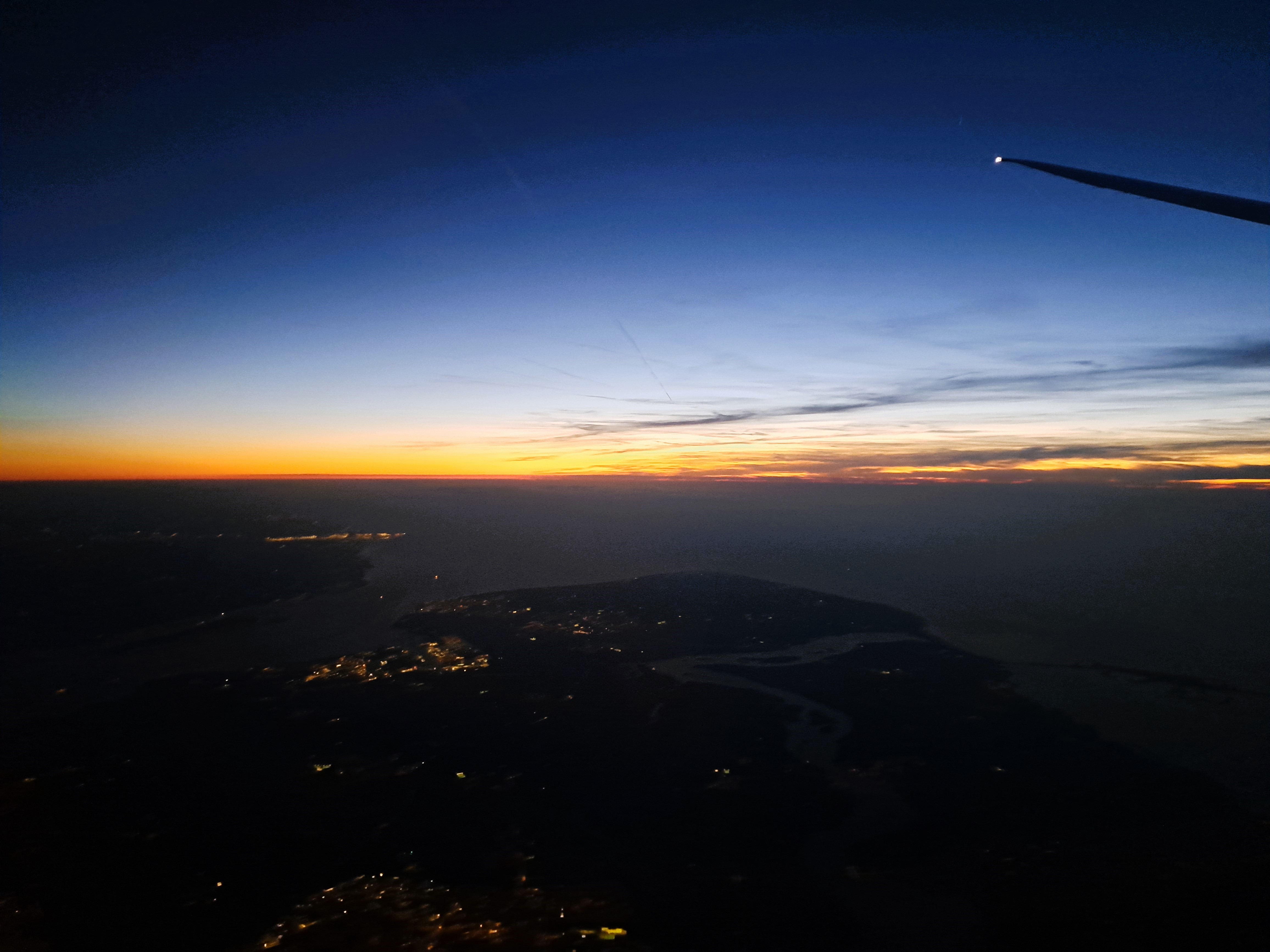
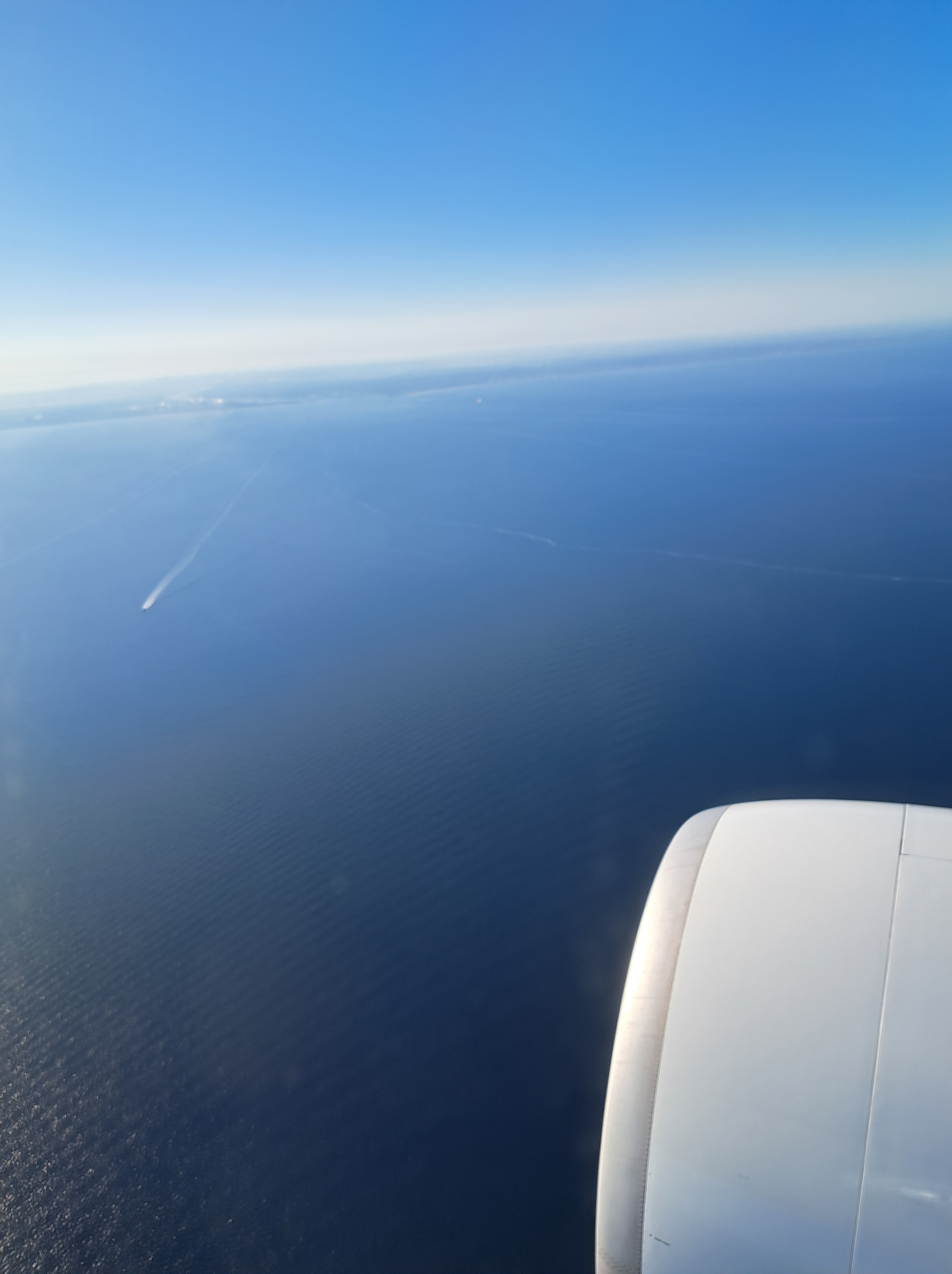
So after a very careful study of the map against this photo, I have concluded that I can at last legitimately add at least the category “Zeeland” to my blog, even though I’ve not yet been on the ground in Zeeland. (It’s now the only province in the Netherlands that I haven’t at least passed through in a train or car, and most I’ve now done some real activities such as overnights, culture, tennis, performances, museums, etc.) I’m confident that the land on the left is the beginning of Zeeland, as you head south, while the area on the far right under the wing-tip of the airplane is the end of Zuid Holland, just south of the port of Rotterdam which I showed you in a previous post from this flight back to A’dam from Geneva. If you also choose to study the map as I just did, you’ll no doubt agree that the image below, taken less than two minutes before the one above, shows the fingers of land just south, also in Zeeland – which, if you do study the map, you’ll notice is really a lot of peninsulas and islands between the various channels of water that represent the main end of what would be the delta of the Rhine, if the Dutch hadn’t been engineering it for centuries.
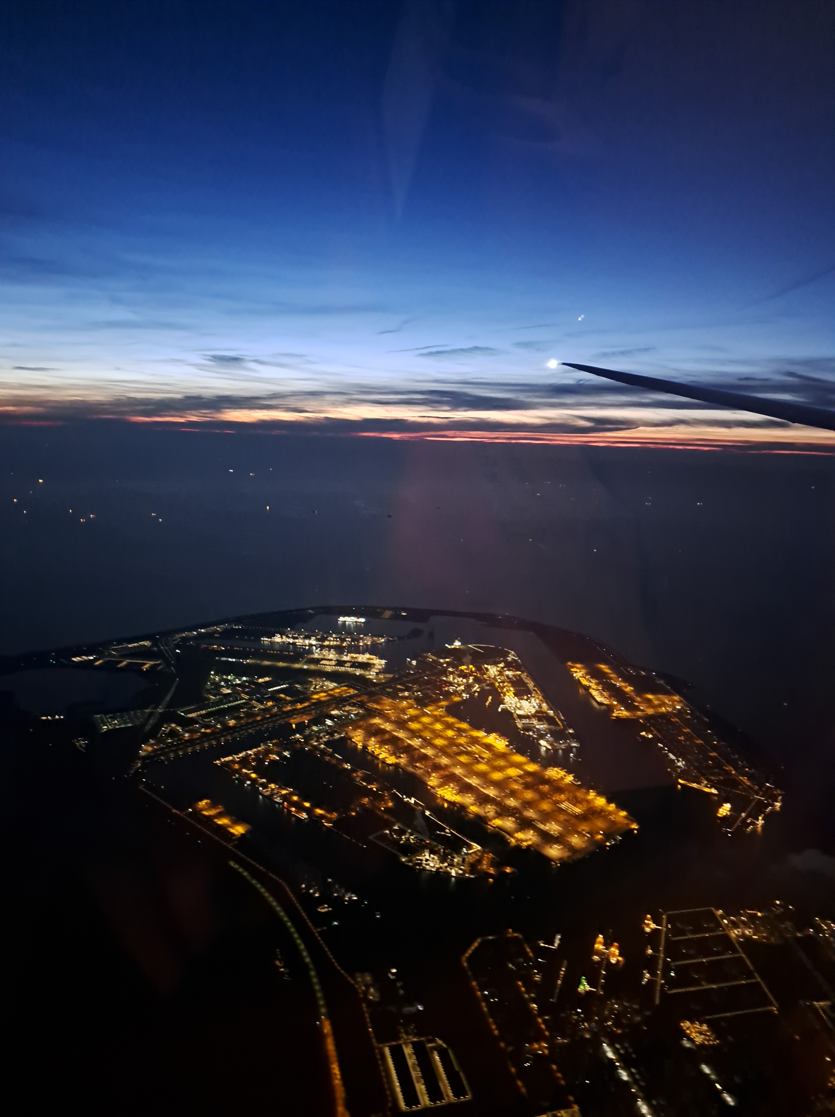
That’s part of the port of Rotterdam (which we showed you from afar in at least one prior post almost exactly a year ago), as seen from above late Thursday on my return flight from Geneva. (Whence that last photo of two rivers merging with very dramatically differently colored water, and a mountain emerging from the clouds in the distance. Yes, I finally got closer to some very legitimate mountains for a few days this past week, so the upcoming mountains posts will be less questionable than one or two of the other recent ones. And indeed, the need to get some mountains photos into my folders got me out early for a walk along Geneva’s lovely lake both mornings I awoke there, so look for those pics also in upcoming posts.)
On the beach by the small South-Holland village of Wassenaar, on the night from 27 to 28 February, 1944, several French resistance fighters landed to support the Dutch resistance effort. Slightly more than 79 years later, Nikos and I visited the beach (on our way back from the short outing I showed you earlier), within days of the anniversary and commemoration, and were moved by the wreaths honoring these lost lives, so many decades later.


 2023 saw my first — and second! — visit to Geneva, with the second visit giving me the chance to watch the sun rise over mountains and lakes in France and Switzerland (above), with distant views including Mt Blanc back in France on the “far side” of Switzerland, as it were, from the side on which our plane had entered. The return flight from that first visit was an evening flight that let me watch the sun set over France and then watch cities over France, Belgium and NL light up (below) before we came in for our landing at Schiphol here in A’dam. One gallery for each flight, below.