


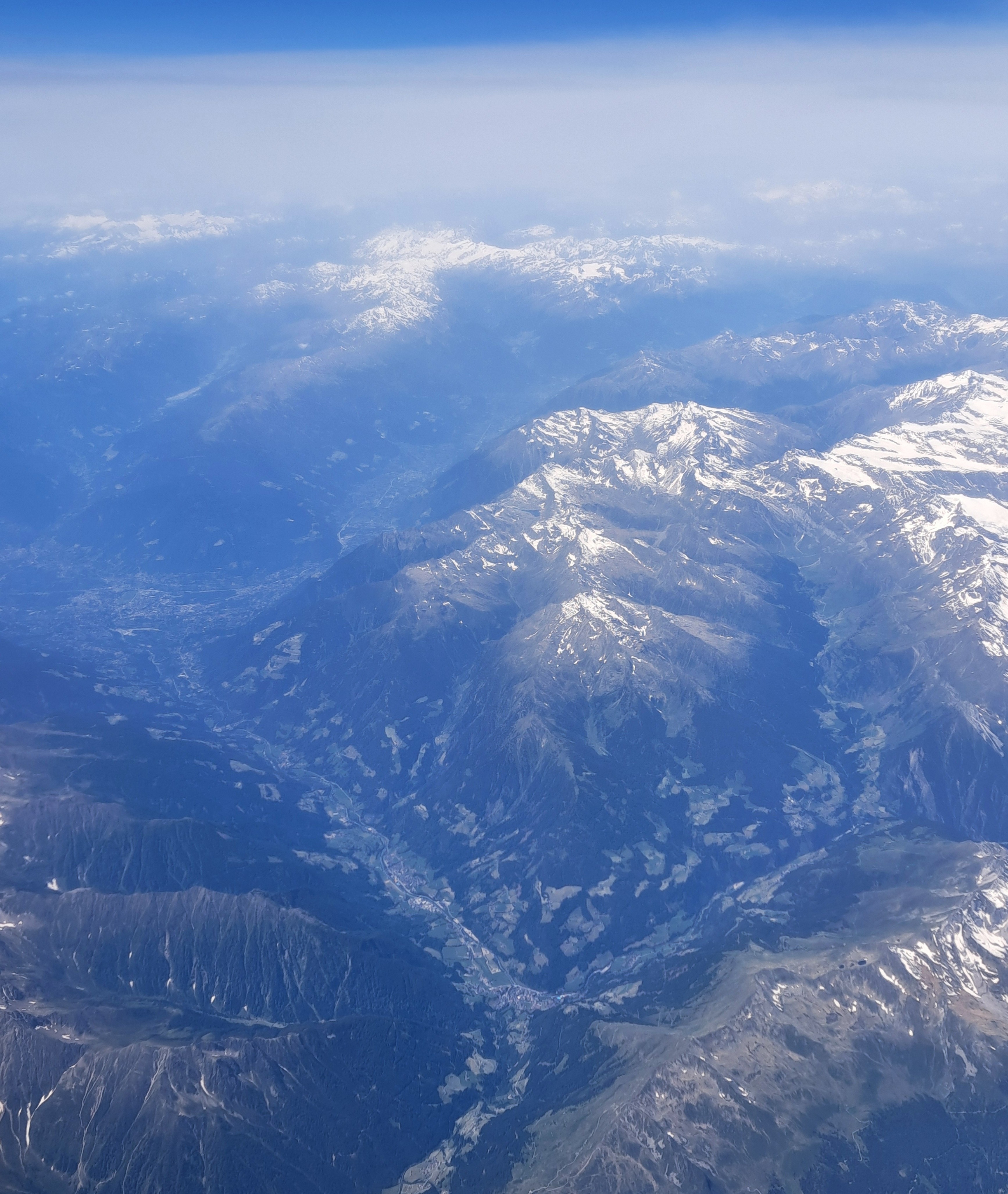
 Alps in Switzerland or Austria on my way home from Rome, back in June.
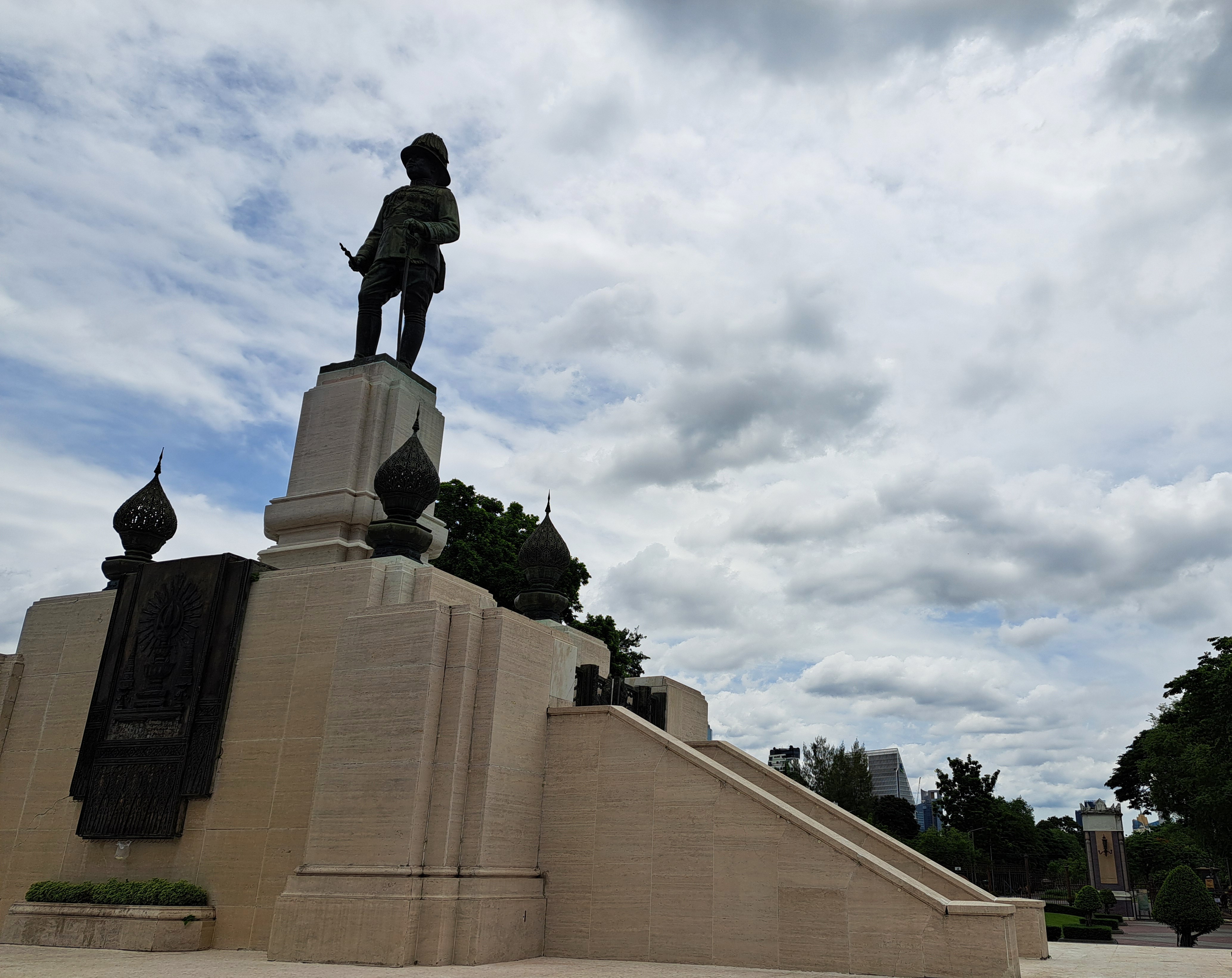

Thailand’s King Rama IV is recognized for many things including the accurate prediction of a total solar eclipse in August 1868, indicative, one reads, of his ability to move Thailand towards modernity and resist Western colonial expansionism through diplomacy. Amongst many legacies, he’s remembered in this statue at Bangkok’s Lumphini Park, and, yes, The King & I. 🙂