
Latest


Annadel, Needing Rain :-)


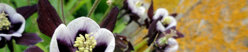
 This post shows you some of the trails and views of my neighborhood state park, Annadel. All the shots were taken on two hikes, a week apart – the same two hikes from which came that comparison of the rocks & gully before and after the first rains, about a week ago. The date of the hike in question is in each photo’s title (the 8th and 14th of November). Immediately below you can see a panorama of Lake Ilsanjo, which sits in a bowl fairly high near the center of the park, and then three shots of which one was taken before and the others taken after the first rain. Sorry that I didn’t take shots that allow a better comparison of water level in thelake, but you can see more green, for sure :-). That said, we had the one inch+ nearly three weeks ago, and not a drop since. Think rainy thoughts for us, please…


Beauty & The Burn.6
 See if you can identify what in this photo directly experienced one of our recent global-warming-induced wildfires 🙂


Beauty & The Burn: Fireline Recovery Comparisons


Yes, those two photos were taken only six days apart: on the left, after six days in

which more than an inch of rain fell on the rocks in that gully. Yes, it’s the exact same gully and the rocks are the exact same rocks. It was right on the fire line three years ago when the Nuns fire burned up from the south, and threatened to meet the Tubbs fire which was burning down from the north. I’ve been chronicling this gully, and the specific rock below, since this portion of Annadel reopened a few weeks after the fire’s forward progress was halted here. You can see these rocks and their various dry and wet season states in many previous posts, including this post with sequential study of the rock shown just below https://somuchworldsolittletime.com/2018/02/07/marred-scarred-marvelous-mountains-of-sonoma-county/
