Latest

Ah, Royalty.29

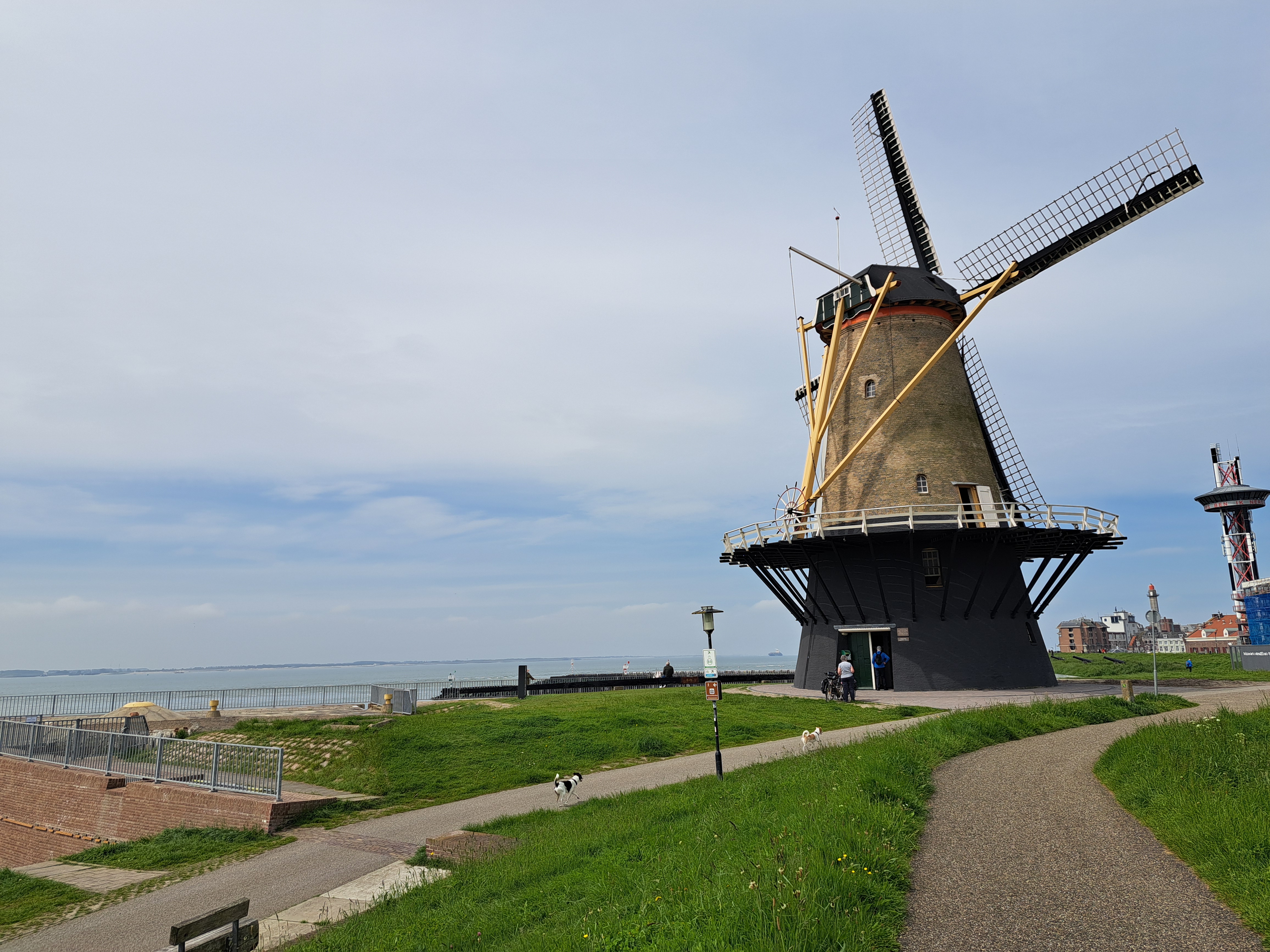
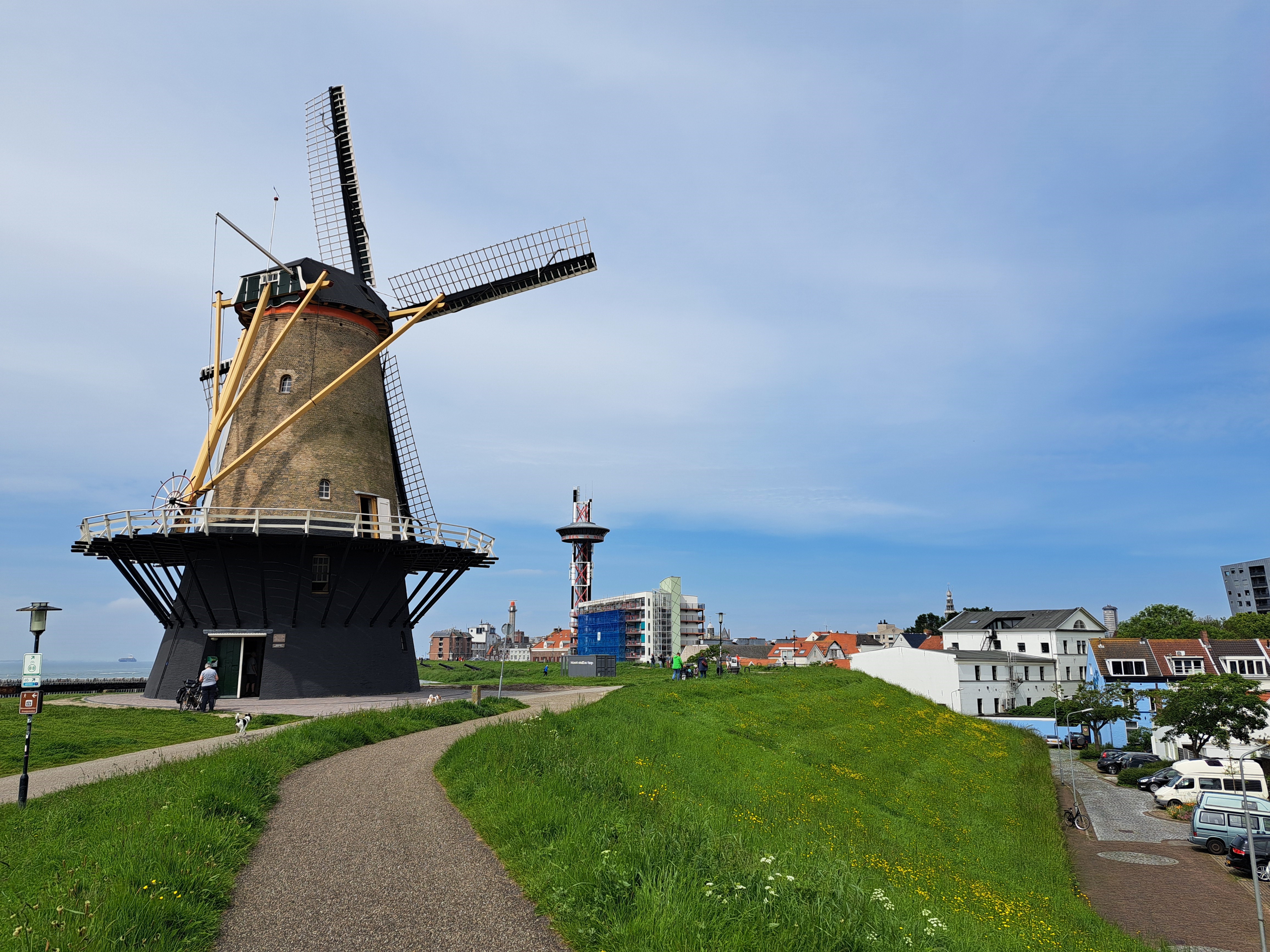
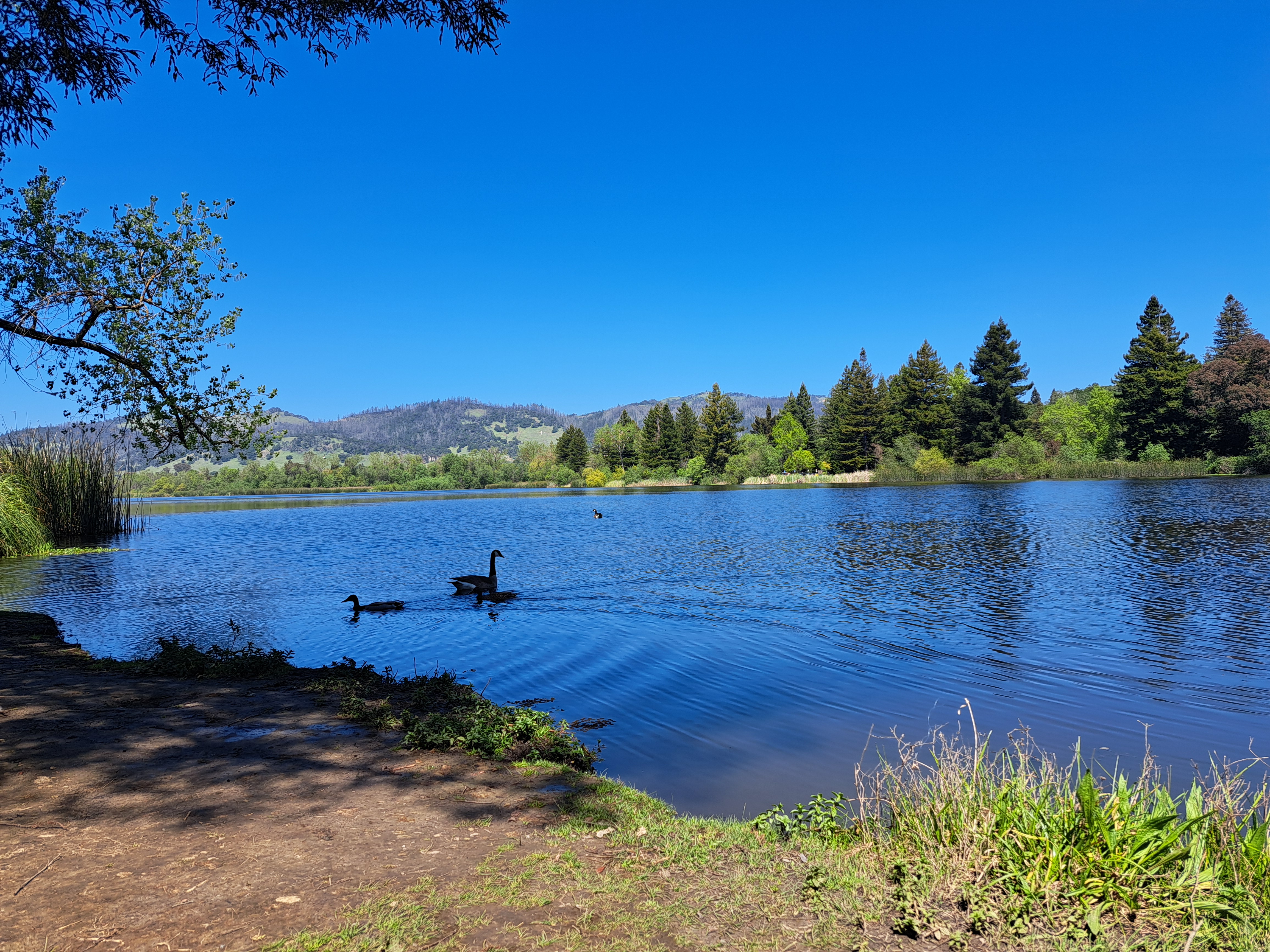
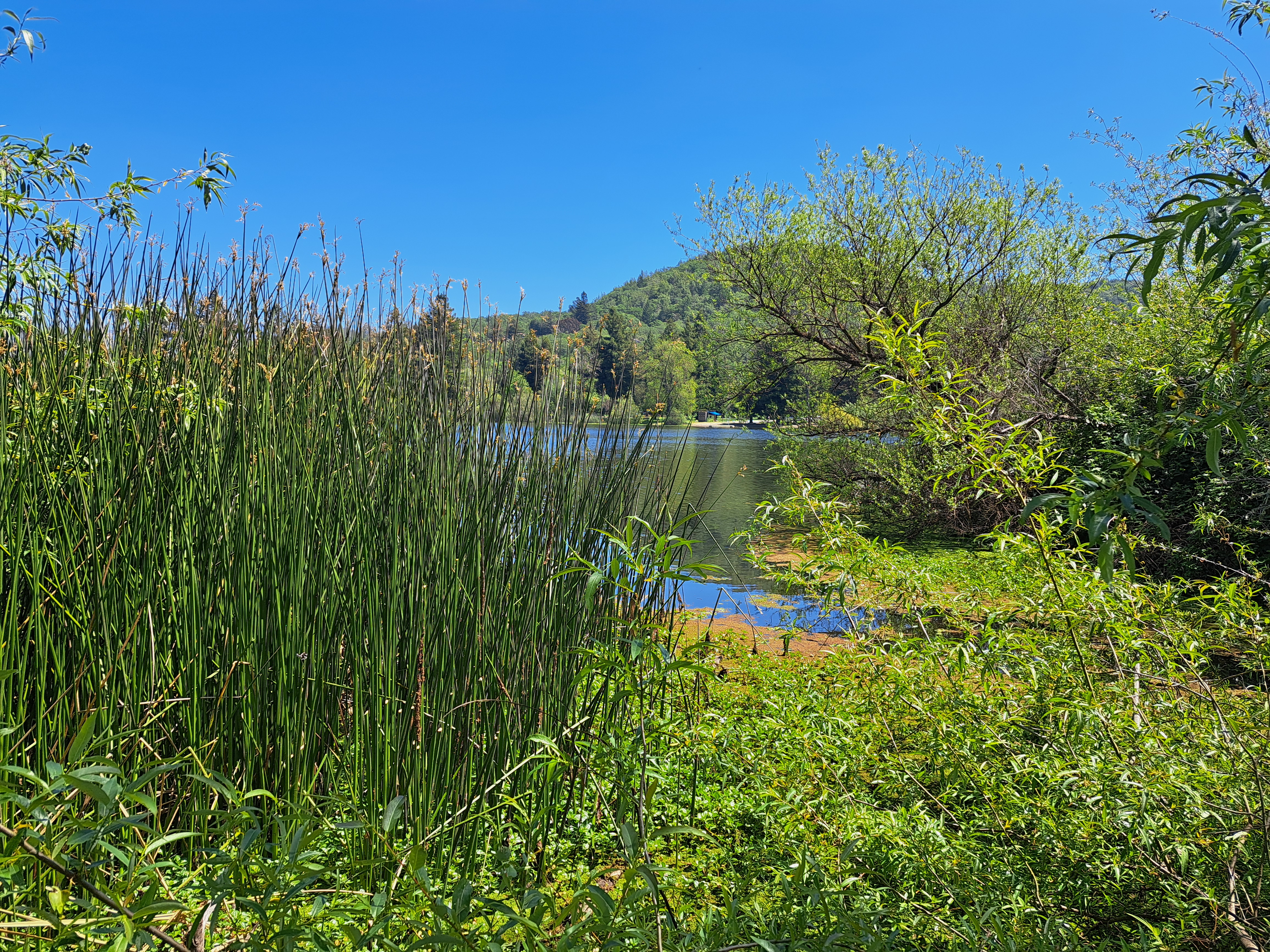
When we first showed you Muiderslot, this castle to the east of Amsterdam, we didn’t bother introducing it. If you’re open to a bit of geeky text on Dutch water-management, read on. Otherwise, just enjoy the photos taken when I biked out and back (a lovely full day only possible this time of year when the days are long enough) both to the see it and to re-stock for this series with images taken in places that can legitimately lay some claim to being at least royalty-related. 🙂

The two photos above right and left show you the narrow channel by which the Vecht River enters what is now the Markenmeer, which is now an almost-entirely freshwater lake. But if you click or tap to open and enlarge the map in the middle, from a display in the castle, you’ll see that until 90 years ago, both the Markenmeer and Ijsselmeer to its north used to be the Zuider Zee which was an open bay off the North Sea, with open flow of water both fresh and salty in and out. First, the Dutch built the Afsluitdijk (which I’d assume is the biggest of the many dikes the Dutch have built over the years – but haven’t yet confirmed) at the far north end, mostly for flood protection though it now also provides a direct road connection between North Holland and Frisia or Friesland. Then, in the 1970s, they did yet another dike that separated that larger former-bay-now-lake into two lakes, Ijsselmeer and Markenmeer and also connected parts of North Holland more easily with the newly-drained polders that are now in the province of Flevoland, without having to go through or around Amsterdam over land.

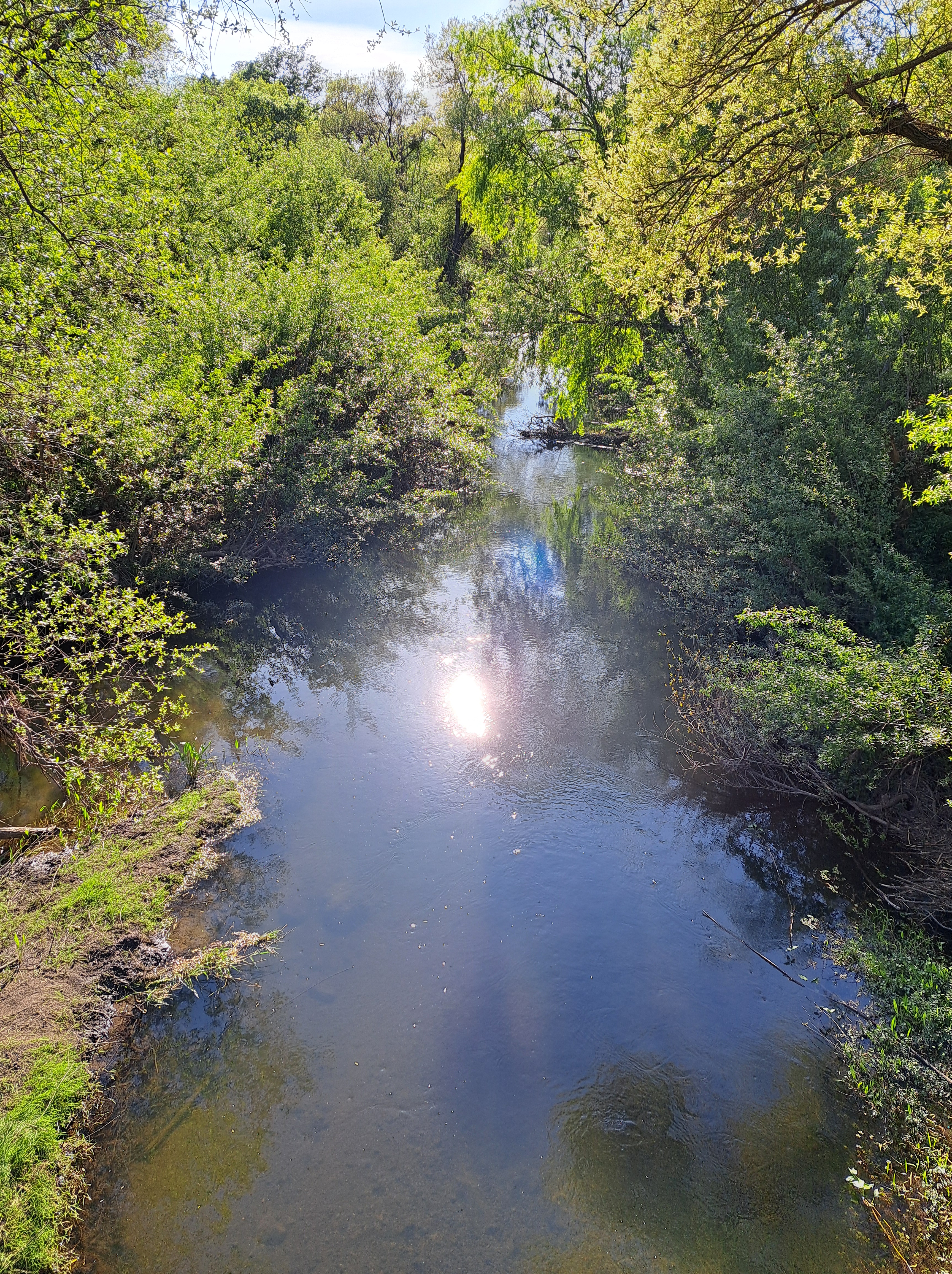
Both are now almost entirely fresh water reservoirs and flood-control areas that are huge enough to be significant ecosystems and watery playgrounds in their own right. When I first moved here nearly three years ago, I rapidly concluded, as to Amsterdam’s street grid and public engineering, that “it’s all about the water.” The longer I live here, the longer I realize just how right I was, and that it’s ain’t just the capital city but the whole country that’s all about the water. Links above will tell you more, but if you just search for Ijsselmeer on google maps, you’ll see confirmation in their one-sentence summary.

City Views.229

Taken four minutes apart early last Wednesday, my first week back at work after the long break. Rainy and cold weather lately, but some consolations like this 🙂

County Views.139

These are all taken on the Ukiah-Comptche Road in Mendocino County – a road that’s not very long but runs from nearly sea level (well downhill of the shot just above), to a reasonably high crest in the coast range (a bit further above the images below), before dropping down to Ukiah in its narrow valley. At that bottom, Lake Mendocino on the outskirts of Ukiah.

Small Wonders.239

Mountains.39

Since our last two posts have featured guest contributions from my cousin Sam, I thought perhaps we’d use this turn in the series-go-round to feature photos from our recent family outing in celebration of things Mom introduced us all to. These all come from probably her favorite place on earth, Storm King Art Center, which is named after nearby Storm King Mountain. Sam’s one of three Oberlin graduates you’ll find the gallery below, the other (thanks for joining, Chris) being an additional contributing photographer for some shots. Thanks, Mom, for helping more of us get to know this fabulous place.

(Partial Guest) From the Air.49

Above, Mt Rainier from on high. Another contribution from Sam: thanks! Below, more snowy mountains, this time in northern Greenland as I flew by in April en route to SF. Theme = snowy mountains, to mentally cool those sweating through hot days :-).

(Guest) Islands.59

Ben Ure Island, Washington – courtesy of Sam, for which thanks!

City Lights.59

22:27 (10:27pm) on May 20th. For seasonal comparison, below, 16:41 (4:21pm) on January 7.

Village Views.79

Sebastopol’s annual Apple Blossom Parade, during my visit in late April. Ah, the joys of small town parades 🙂

Signs of the City.88

Coasting.98

My dear cousin Sam, who’ll soon start featuring as an occasional guest photographer with us, asked what’s happened to my “Lake Living” series after viewing a recent post. As in, has it stopped being about lakes and started being about living on water. So herewith a few principles I’ve been working on for these “coasting” and “lake” categories. Because you might look at these photos and say “it’s not a coast, it’s a river.” Or you might look at the previous post that Sam questioned and say “that’s not a lake, it’s a bay!” But in our recent explorations here at smw, slt we’ve learned much more about water management & what what water connects to what other water, than we knew when first we got close enough to Zeeland to see the maeslantkering, which we featured in an earlier post.
I’m proposing that a lake is a body of water that’s primarily fresh because it’s protected or cut off from the tidal flows that would come with extensive connection to an ocean. And that a “coast” is where a body of land that’s connected directly to a mainland-continent type landmass meets a body of water that’s close enough to the open ocean as to make nearly no difference. To whit,the city of Vlissingen, which is what you’re seeing here and which just happens to be the last stop for any train heading into the province of Zeeland from the rest of NL, is the only place south of the maeslantkering itself where the North Sea has free access to the interior of Zeeland. In other words, though Bergen Op Zoom – subject of that Lake Living post Sam queried may look on a map as though it connects by estuarial channels fairly directly to the North Sea, it in fact deliberately no longer does, due to all the massive water works NL did after the floods of the 1950s to build dams, dikes and the maeslantkering in order to protect as much of the interior as they could. If curious, please see a clear map in this link of all the many places where the North Sea’s access has been cut off by dikes and dams, which are now generally being upgraded to rise higher due to global warming and NL’s natural hope to remain an inhabited country despite American consumer’s addiction to gas-guzzling cars…and other carbon over-use issues. I’ll do one more explanation later on, when we get to the large body of water to the north and east of Amsterdam…which, until my visit two weeks ago to the castle so beautifully introduced in a recent post, I thought incorrectly was also salty & connected to the North Sea. But otherwise, assume these are my current working definitions of coast & lake…and ponder how global warming and Dutch ingenuity + determination give rise to interesting questions :-).