
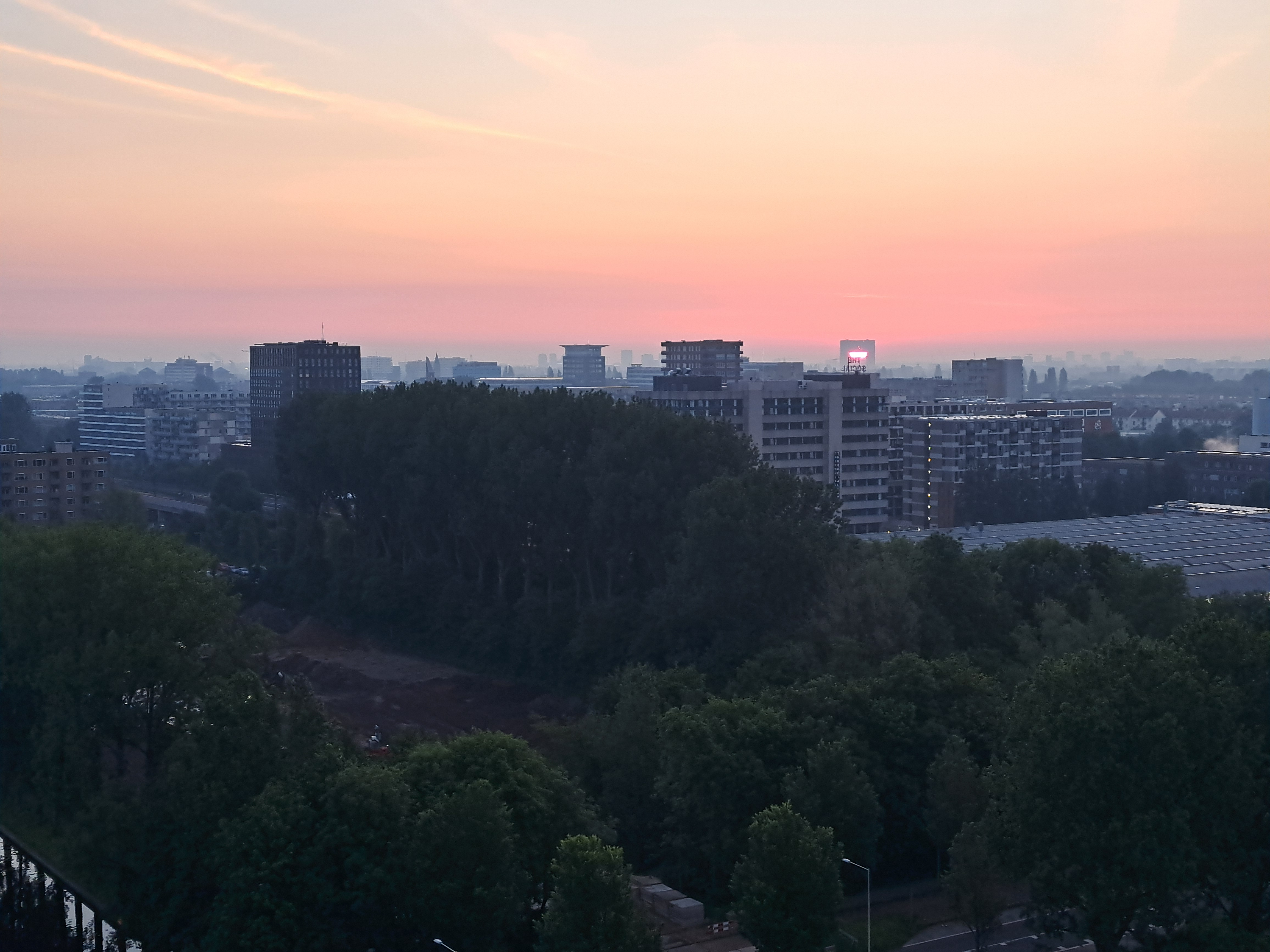
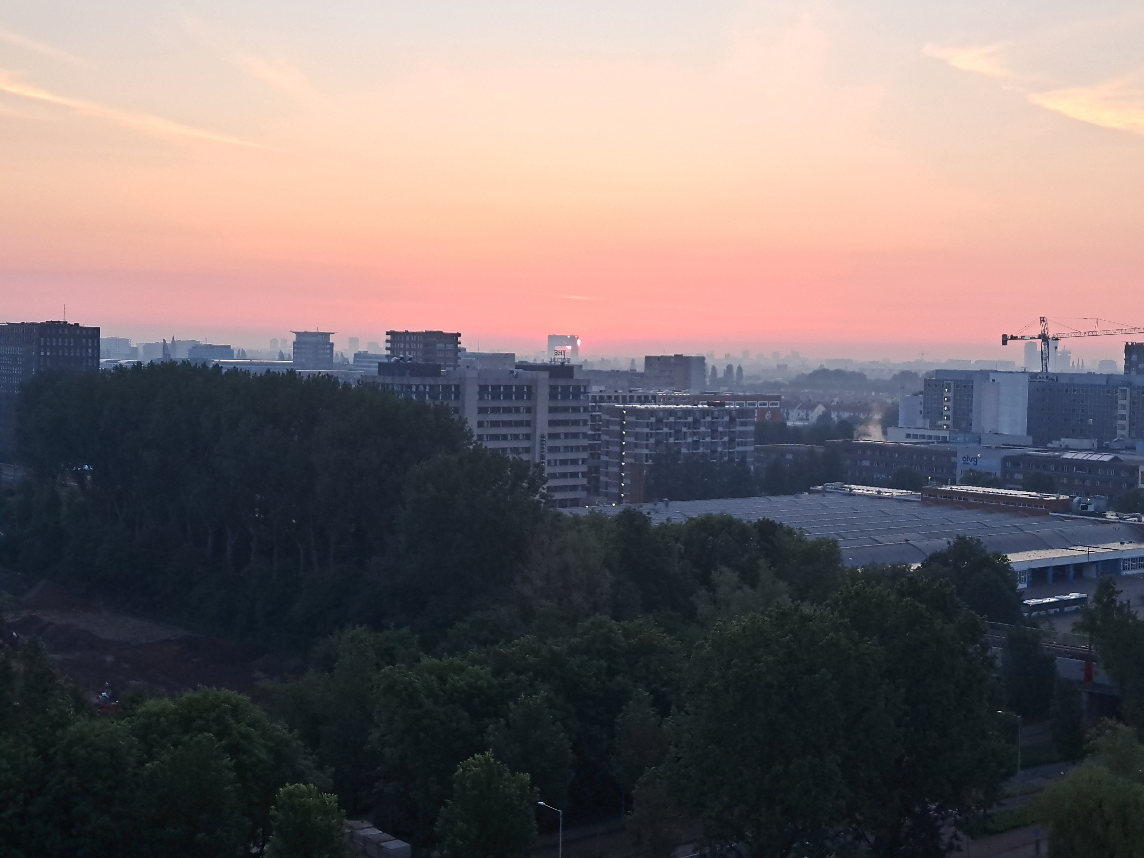
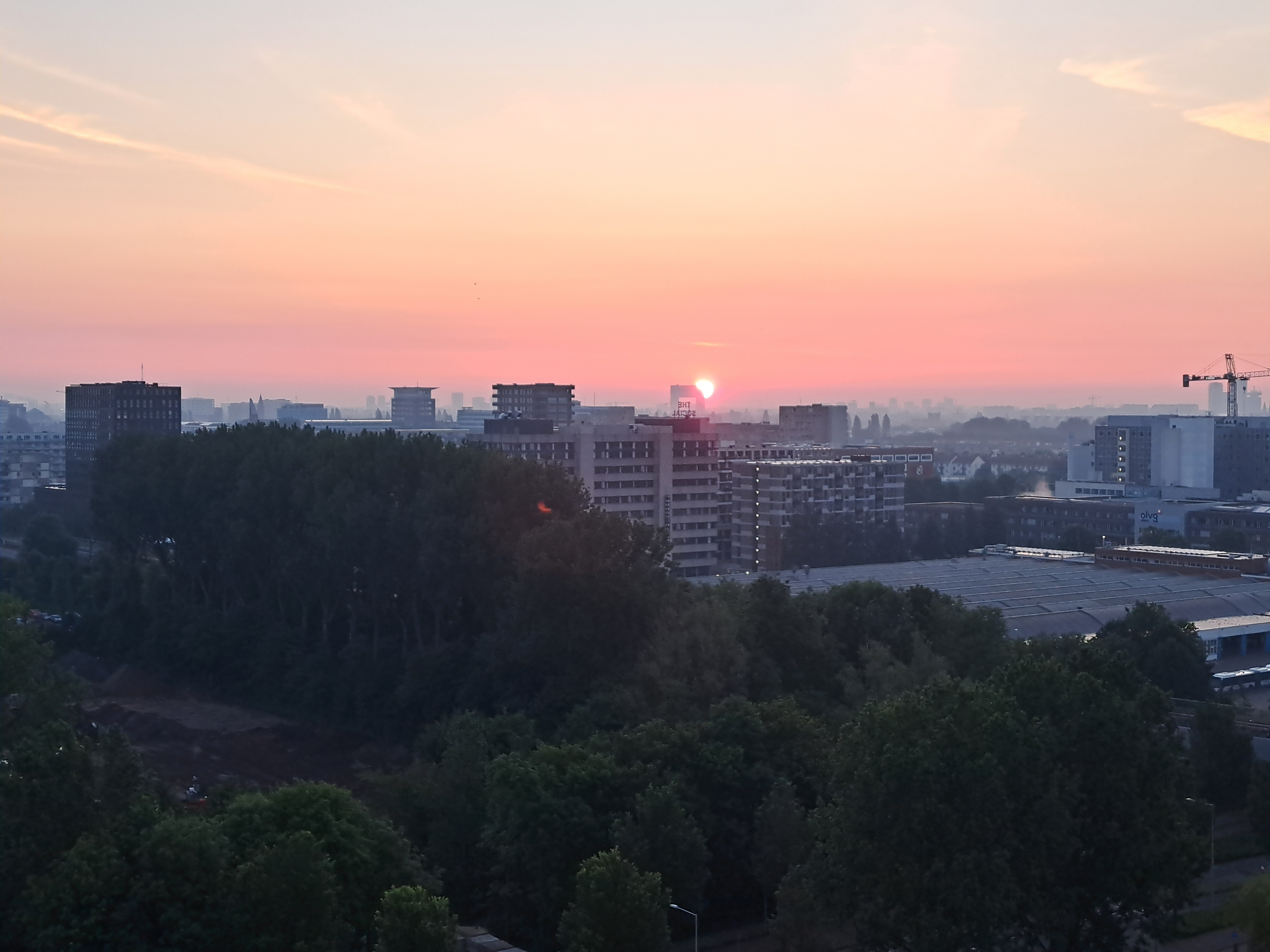
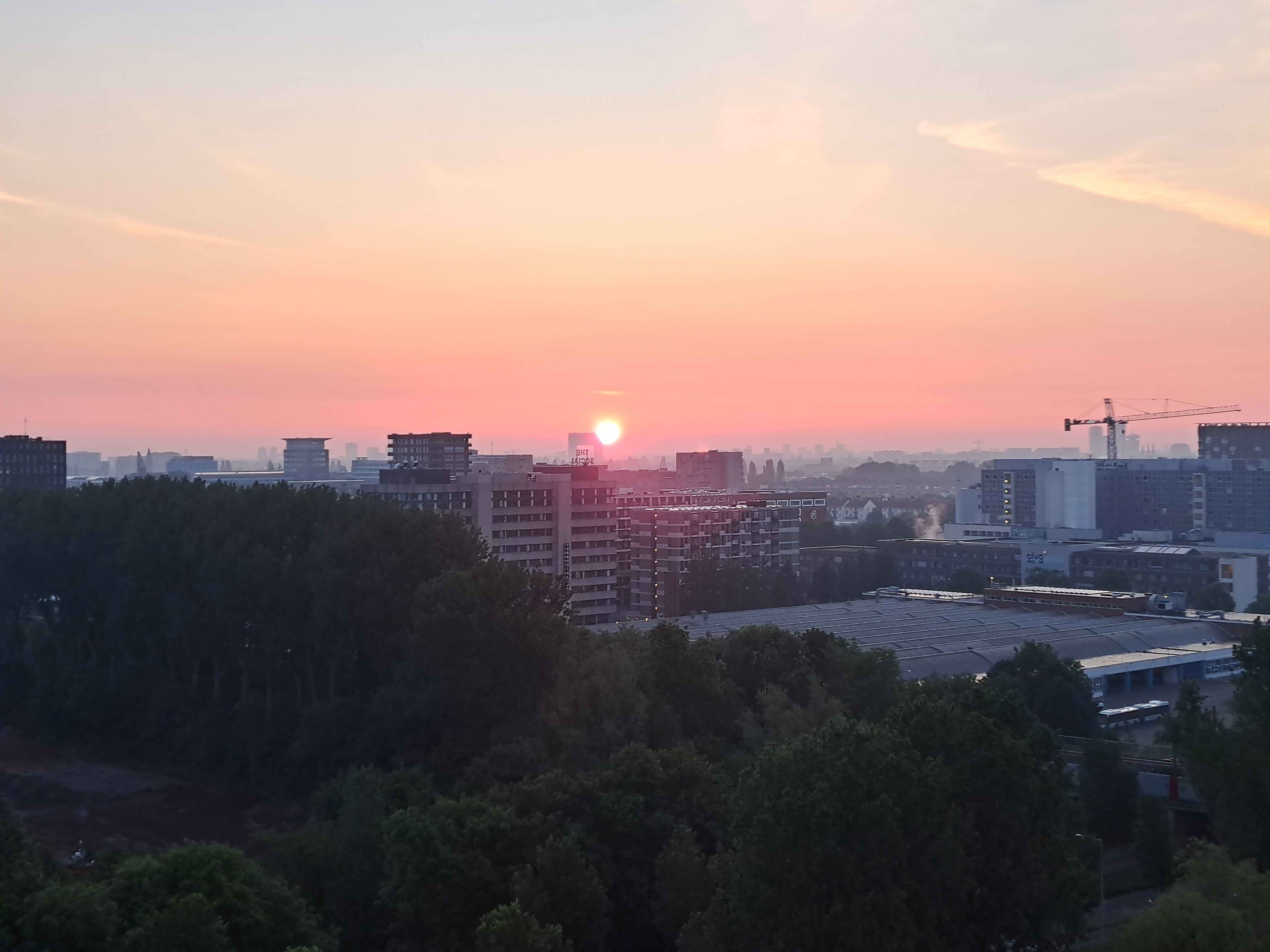
City Views.233

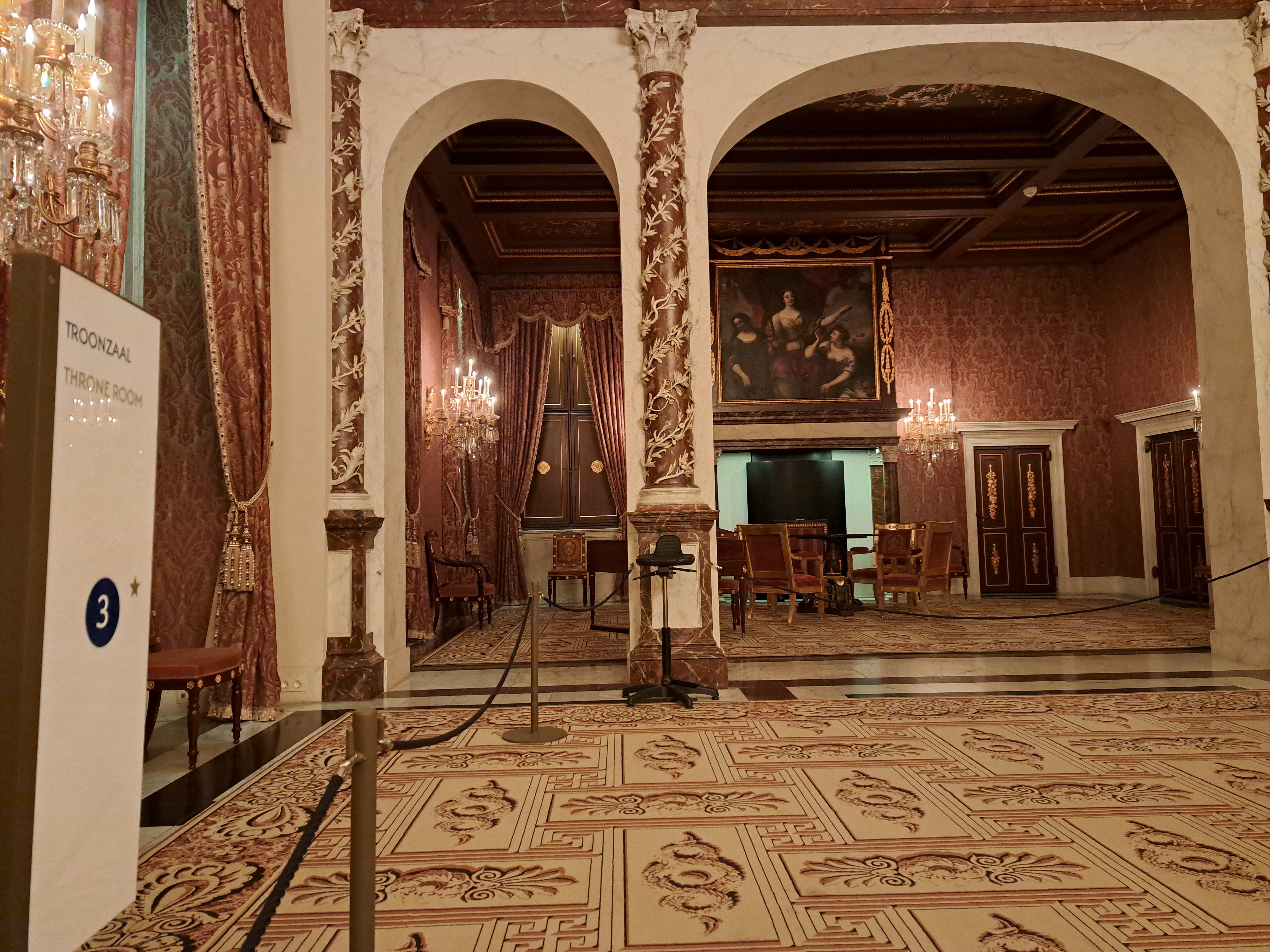
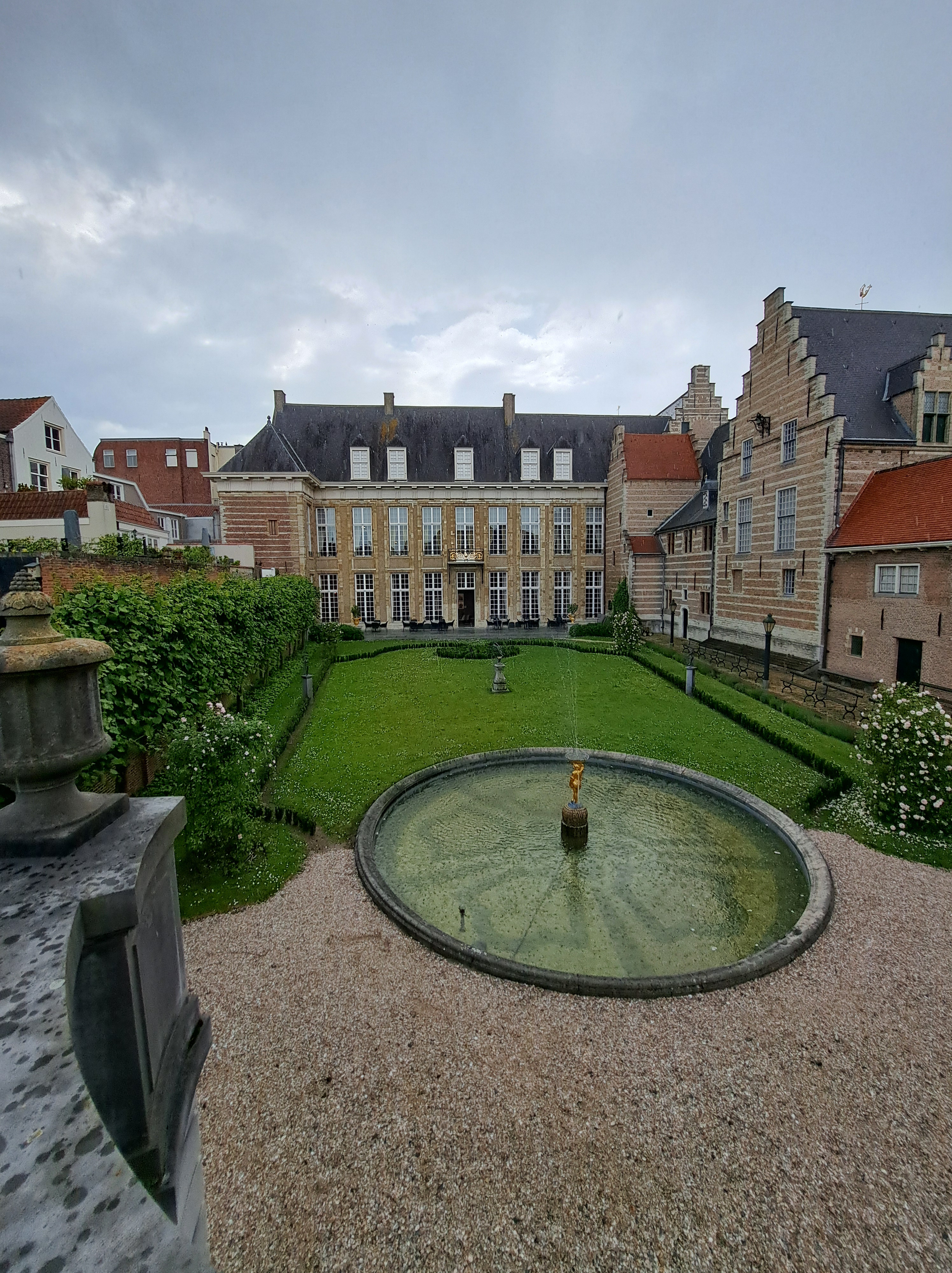
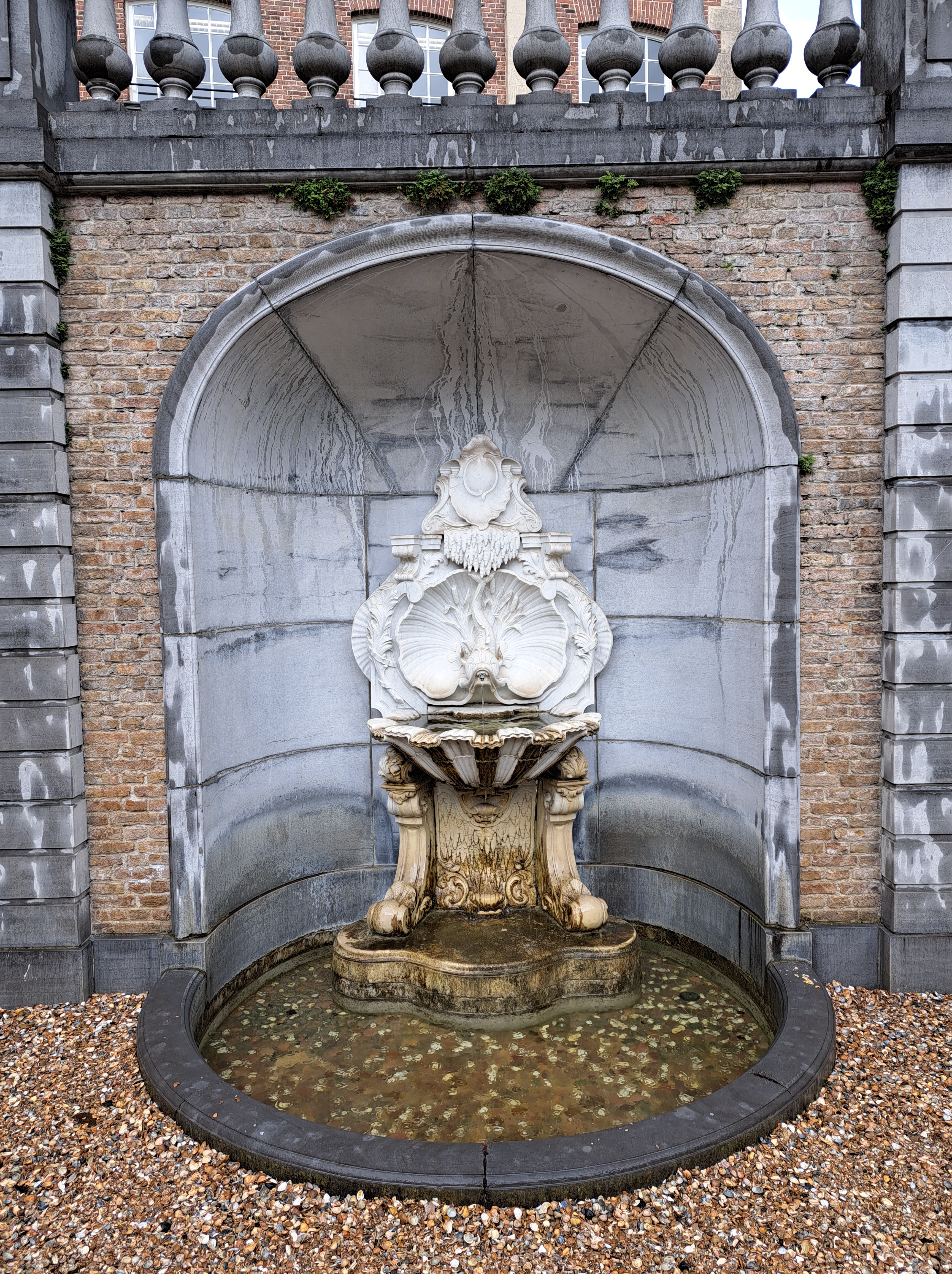
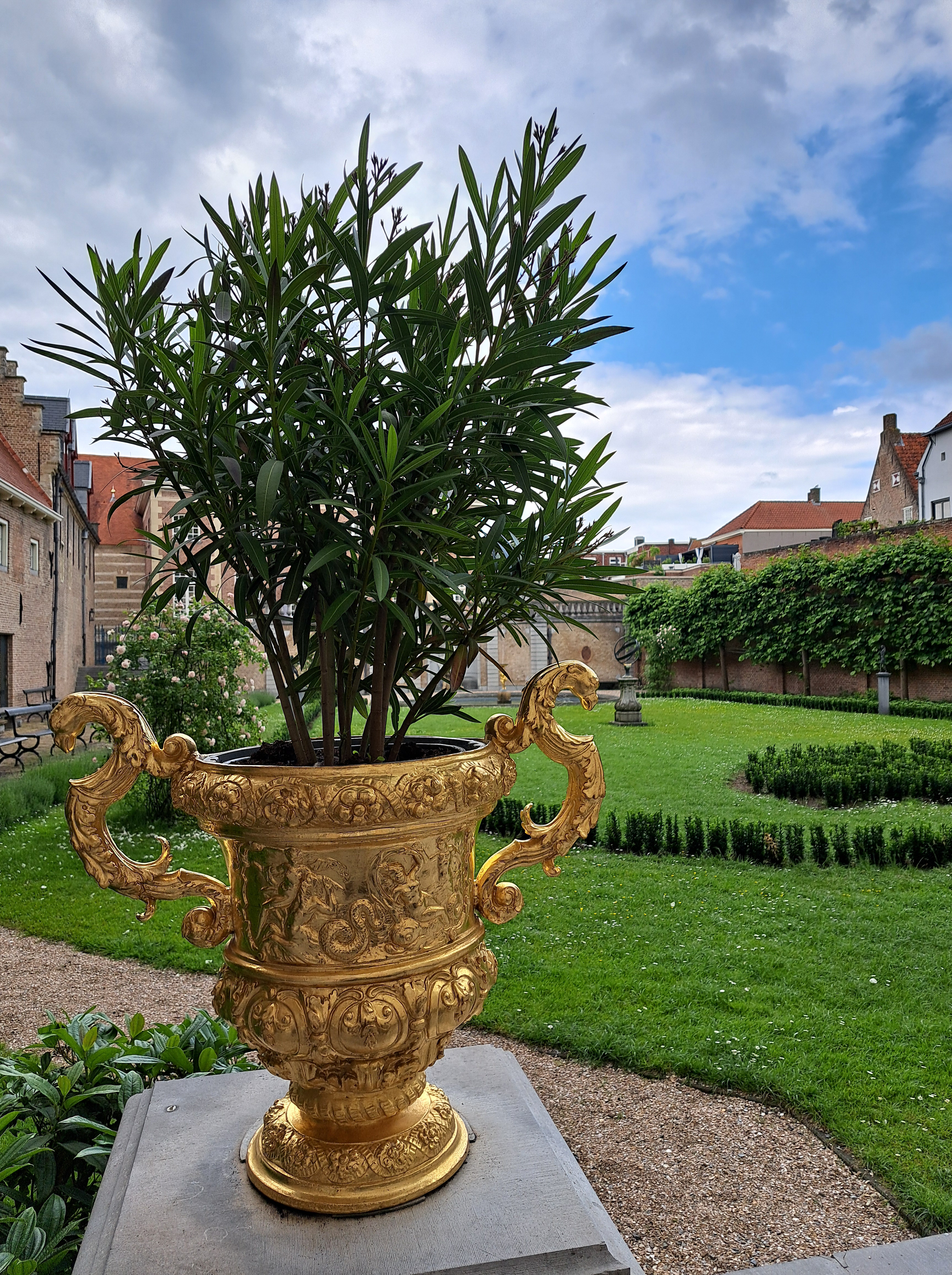
Ah, Royalty.33

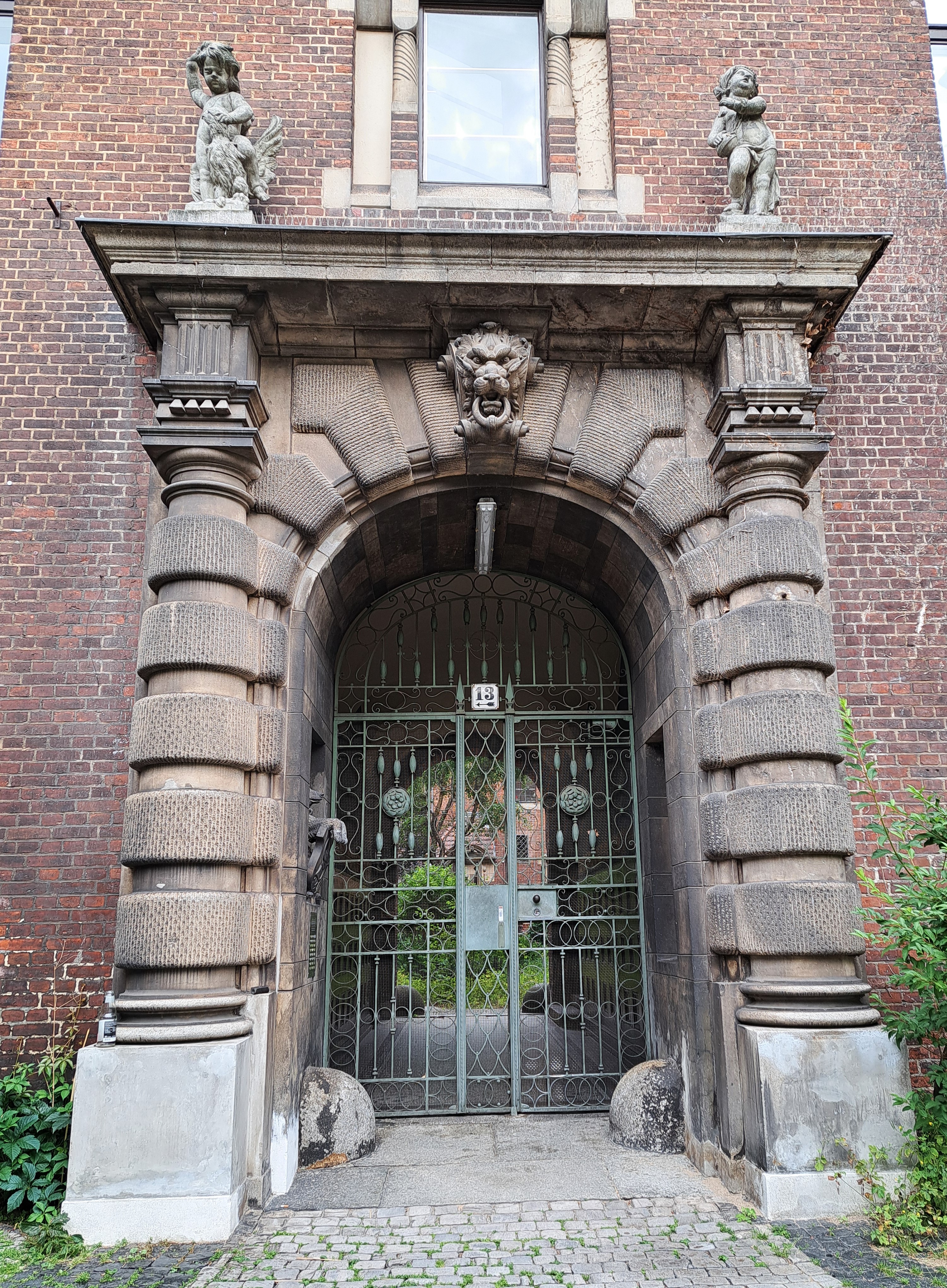
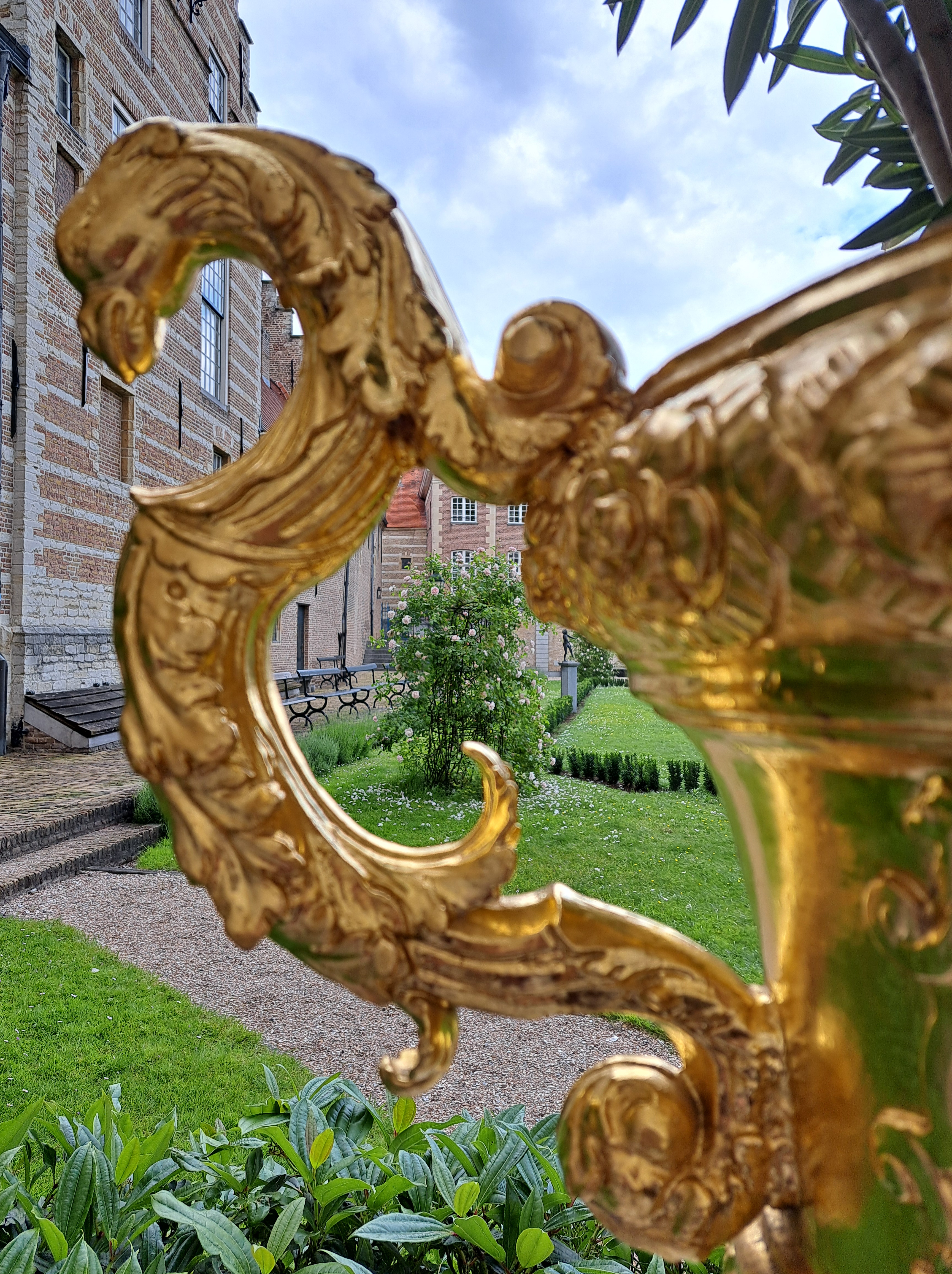
All from the Royal Palace in A’dam, which we showed you once before when we’d just returned from the US and had no backlog of remotely legit “royal-ish” stuff to share with you. I’ve now stocked up on royal stuff from Berlin as well as a few different corners of NL so I can just share all these overly-impressive and imposing doorways, sitting rooms, waiting rooms, etc. etc. all in one big post. Fascinating are all the coats of arms in the gallery below, with SPQA at the top. (As in, Senate & People of the City of Amsterdam in direct imitation of classical Rome’s SPQR.) I’d never noticed that before, but have since seen the same thing on a bridge or two around town. One thing I will say about constitutional monarchies such as this one: they allow the State (by which int’l law means Nation State, not New Jersey or Alaska) itself to retain a certain dignity that rises above the politics of the moment. IMHO the US has lately tended to test the value of a single person being both head of state and head of government, often with disconcerting results when it comes to the dignity of the State itself… 


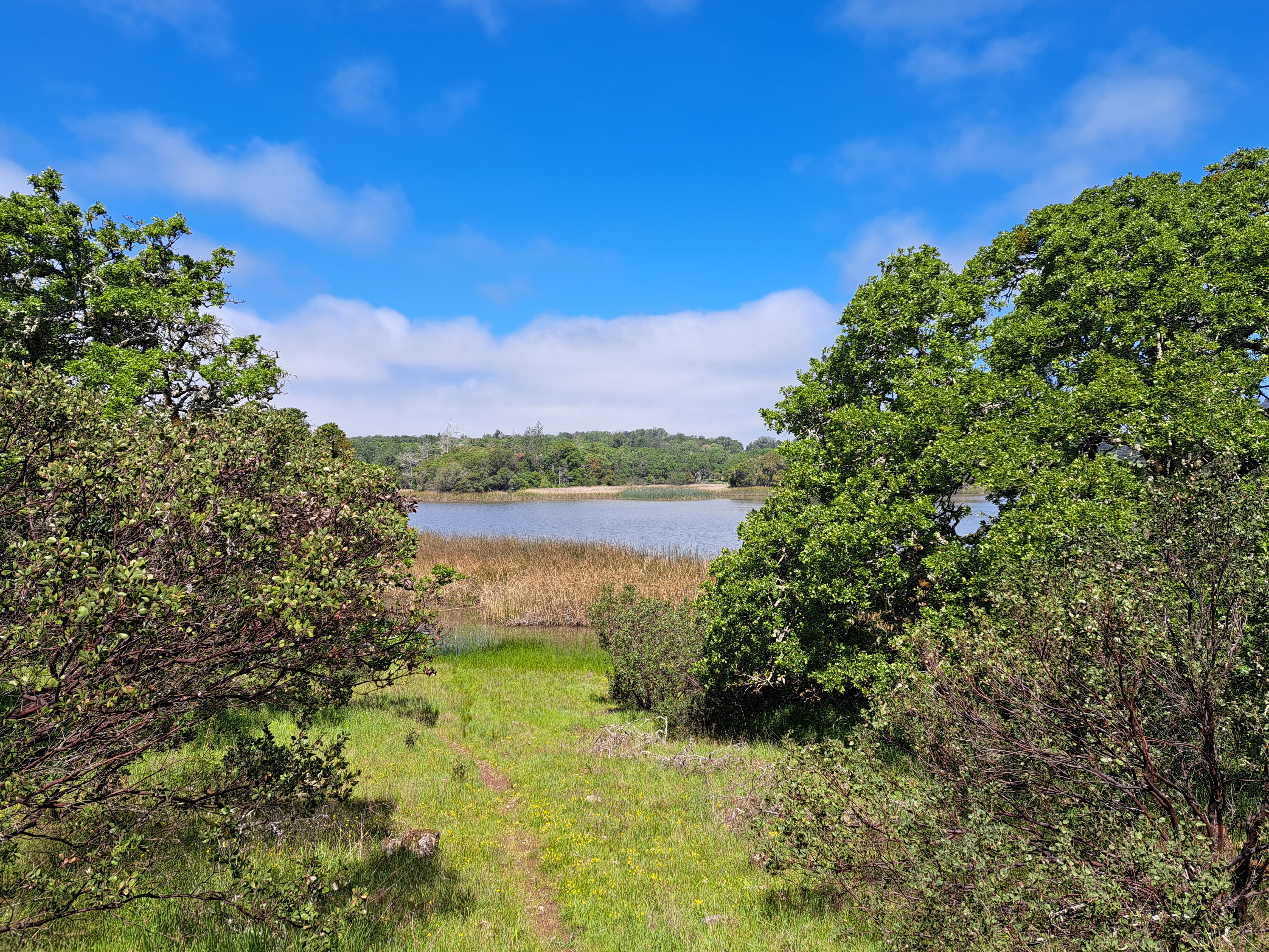
Lake Living.33
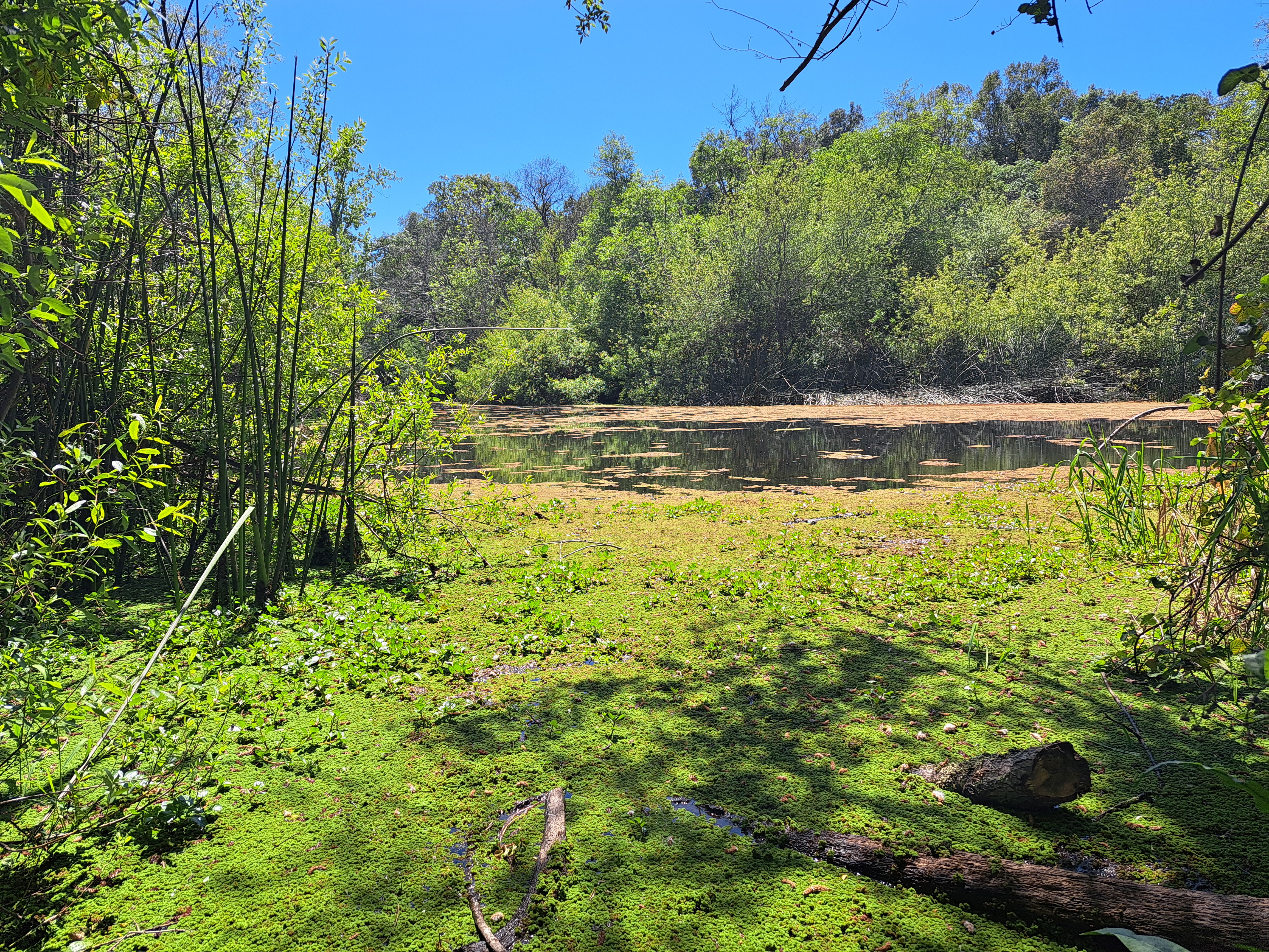
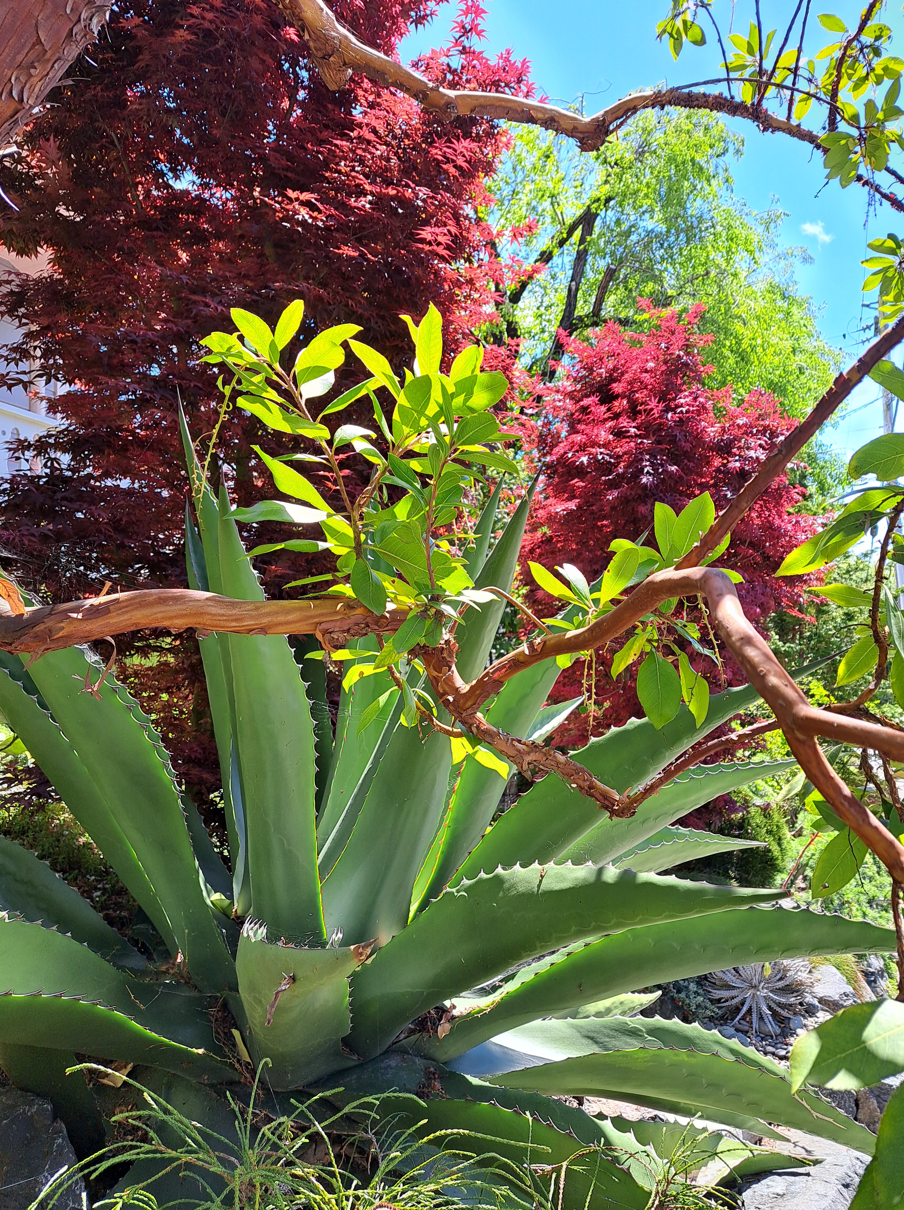
Above, Spring Lake; at bottom & in the middle below, Lake Ilsanjo as seen from close up and then near the top of one of my favorite trails. All from April, first day back in these parks whose hiking and biking trails I do so love, on that lovely visit in April and early May.


City Views.232
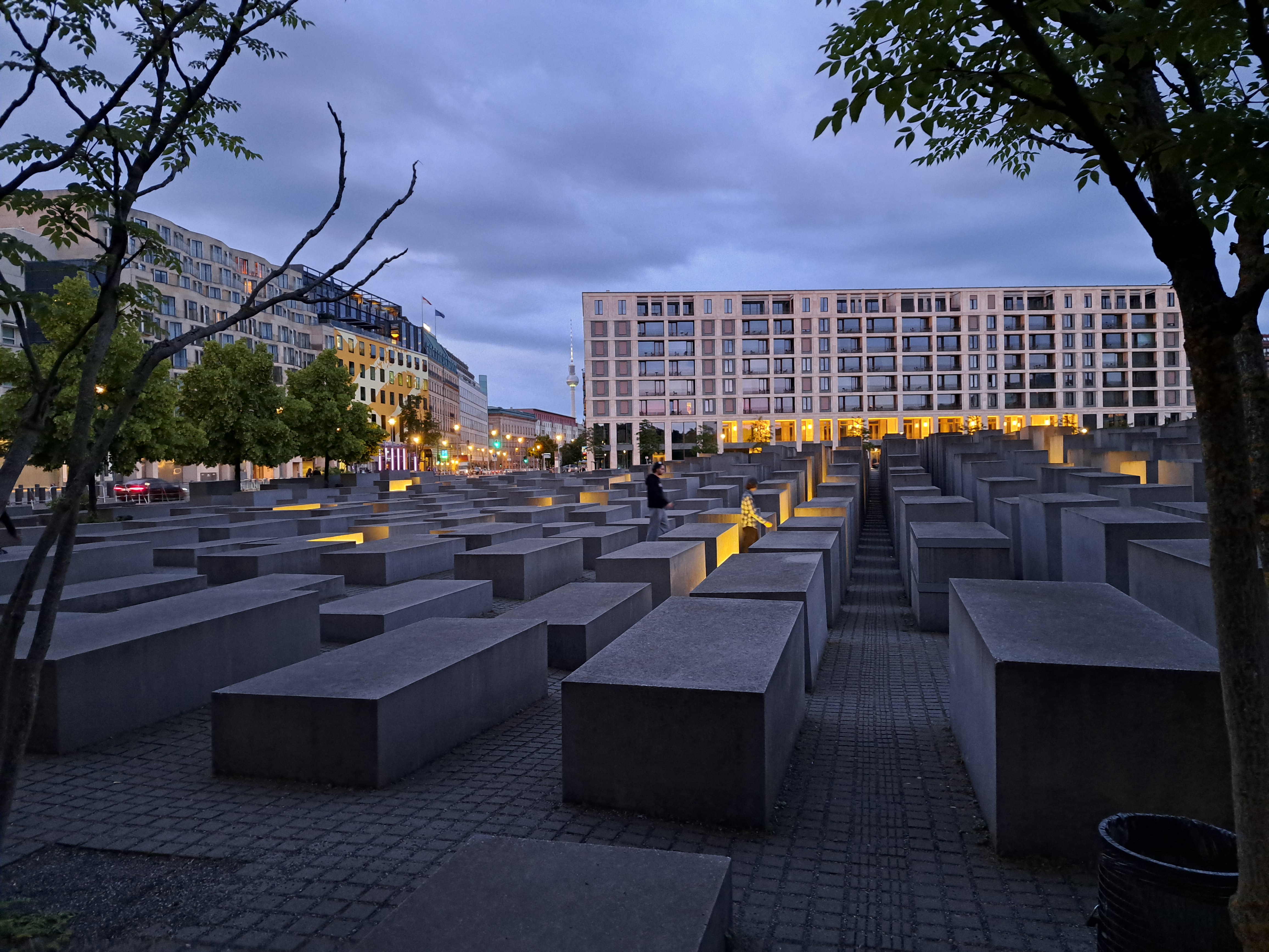
 In my second recent post from Berlin last month, I referred to the weight of history I felt while exploring it in detail with my dear brother (and perhaps most consistent reader, “like”-er and commentator), who happens to be a truly distinguished and rather renowned figure in German Studies including much about this very city and that very wall and its history. So I’ve decided to collect many of the photos I took on that trip that express some of the weight of history, pain, division and loss. You’ll see the wall, you’ll see more from the holocaust memorial, you’ll see the DDR-era monument & cemetery for some of the 80,000 or so Soviet soldiers who never returned home to their families after the battle for Berlin in 1945. Since Steve and I first crossed that wall together some time in late 1980 or early 1981, this all felt rather personal and deep for me, especially given all the lived experiences I’ve since had that demonstrate how disastrous wars and violence are for humans, full stop. So, yeah, heavy heart about human (self)-destructiveness, and respect for a city with so much history that keeps on keeping on somehow. Small request, dear Berlin City Government: improve your bike infrastructure and take lanes away from cars. It’s working really well in a lot of other cities – and it’s good for the planet, too! 🙂
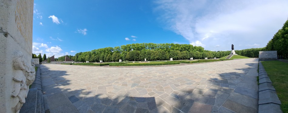


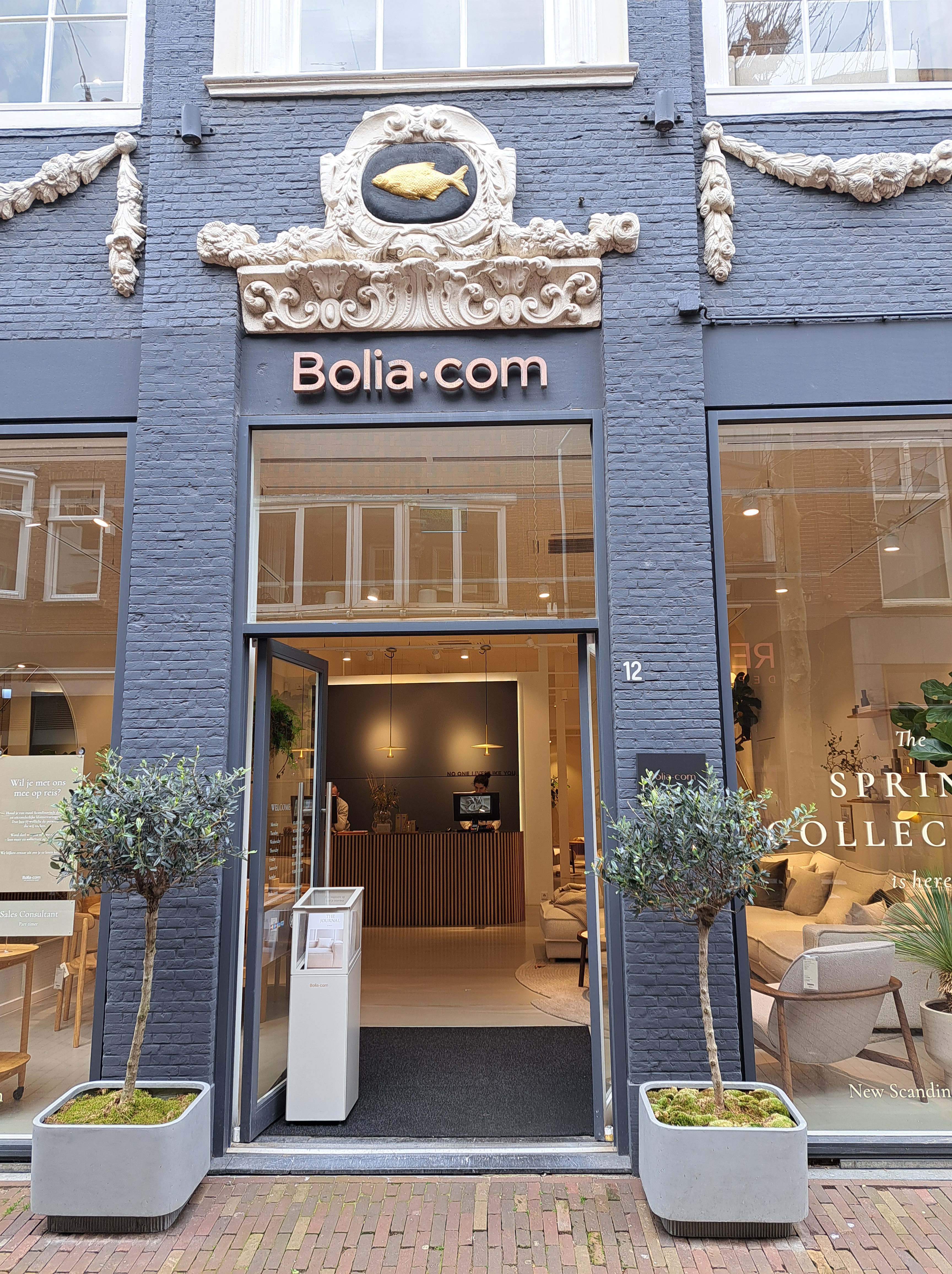
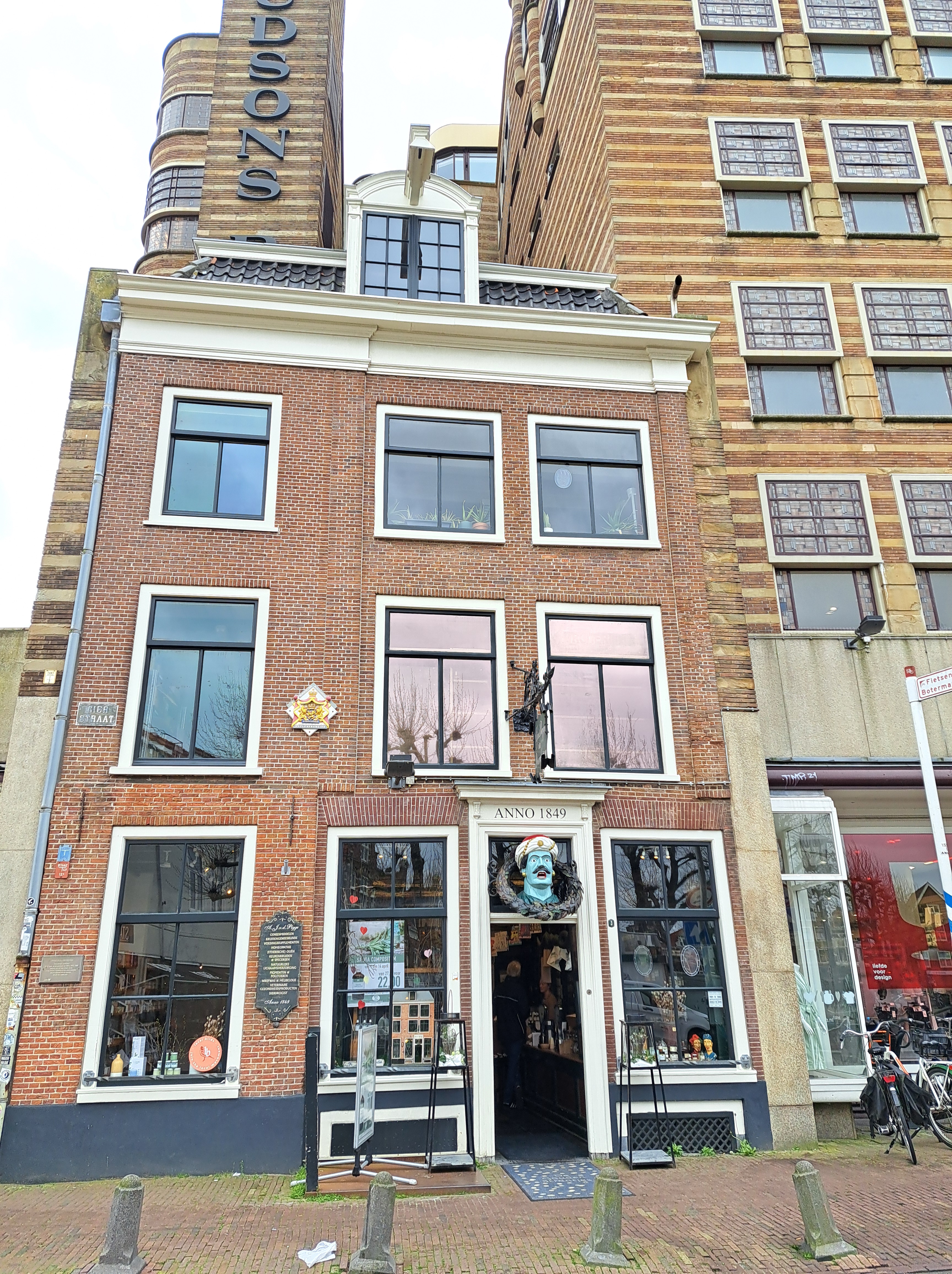
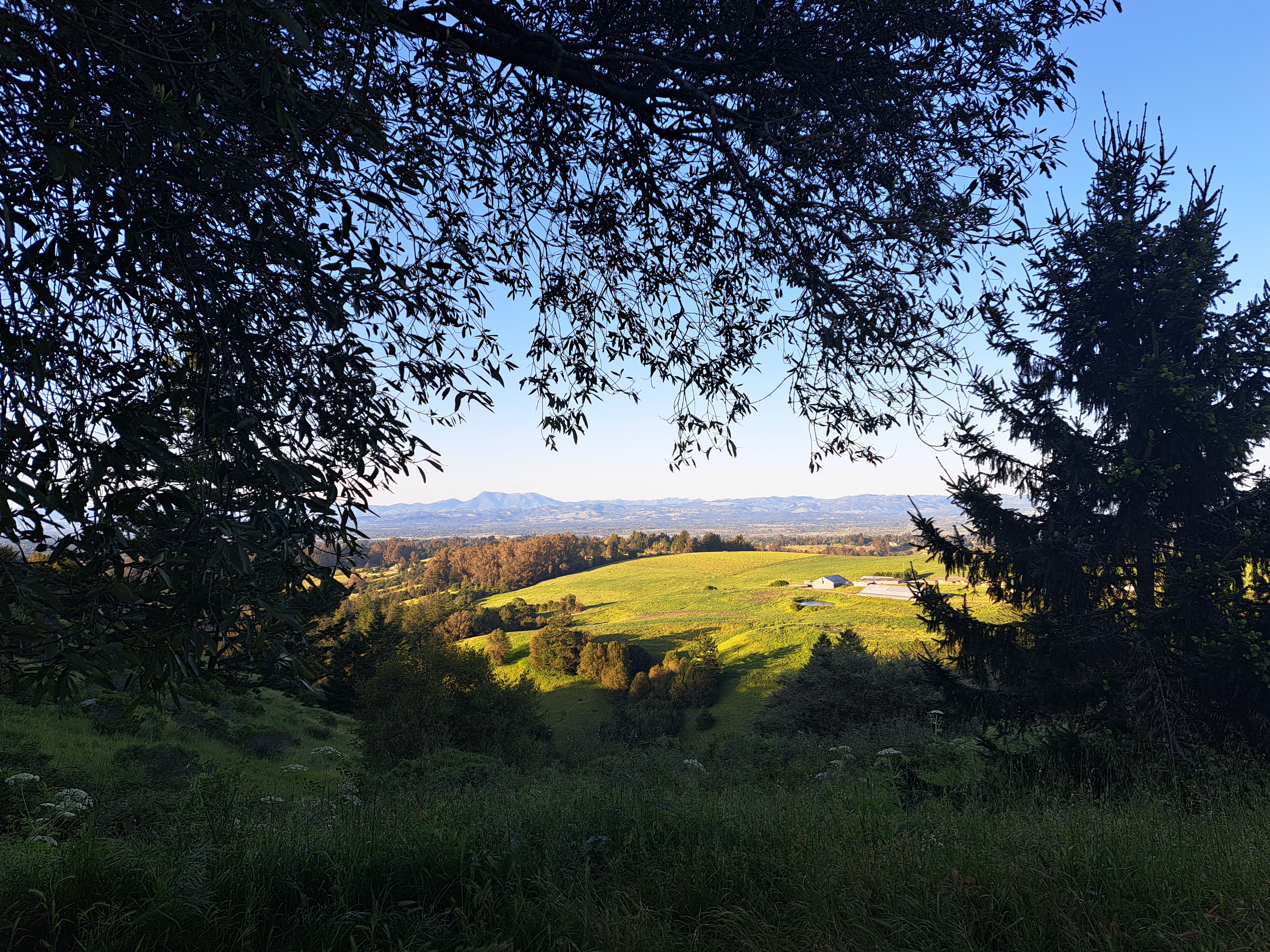
County Views.142


Ah, Royalty.32
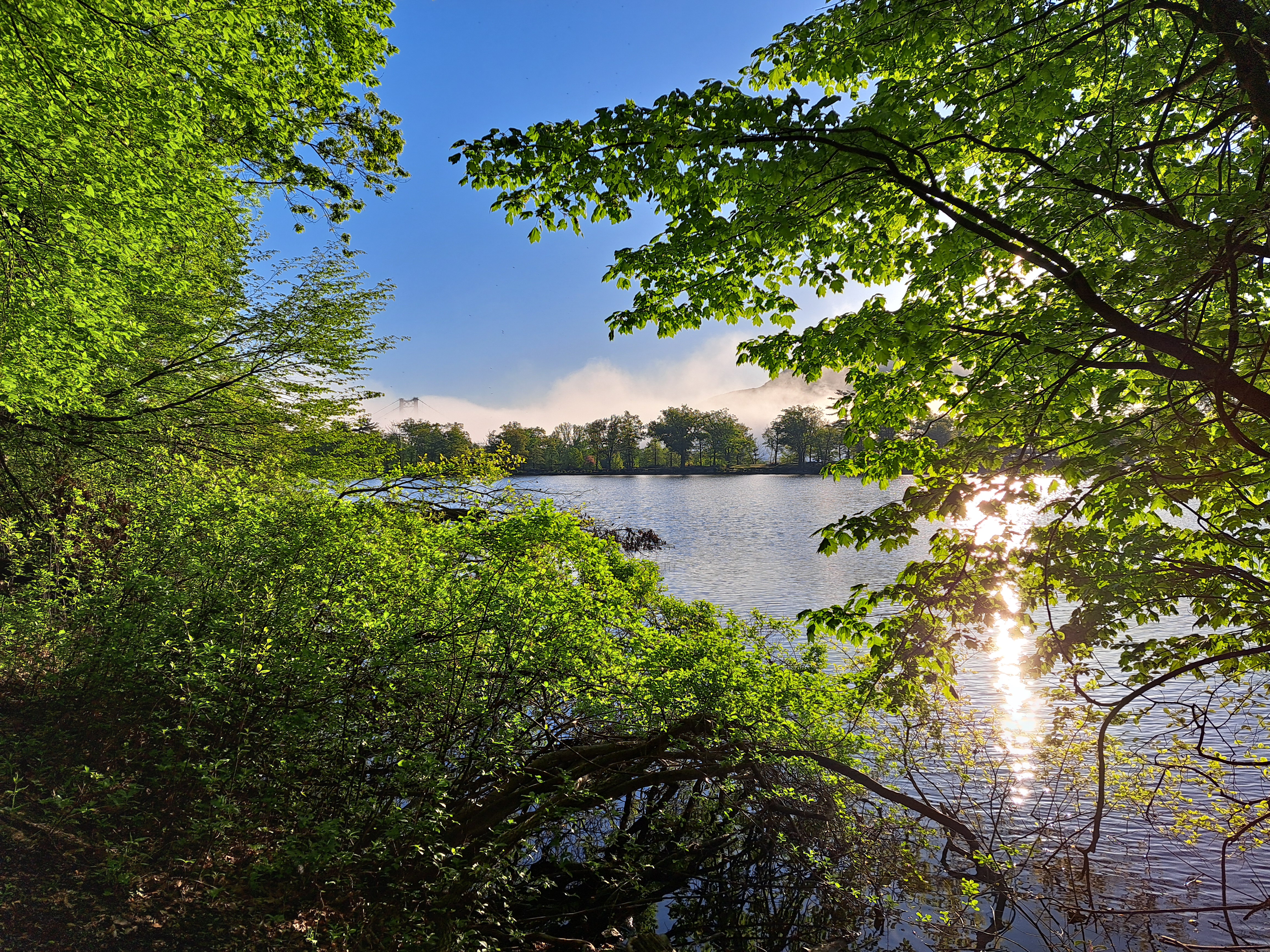
Lake Living.32
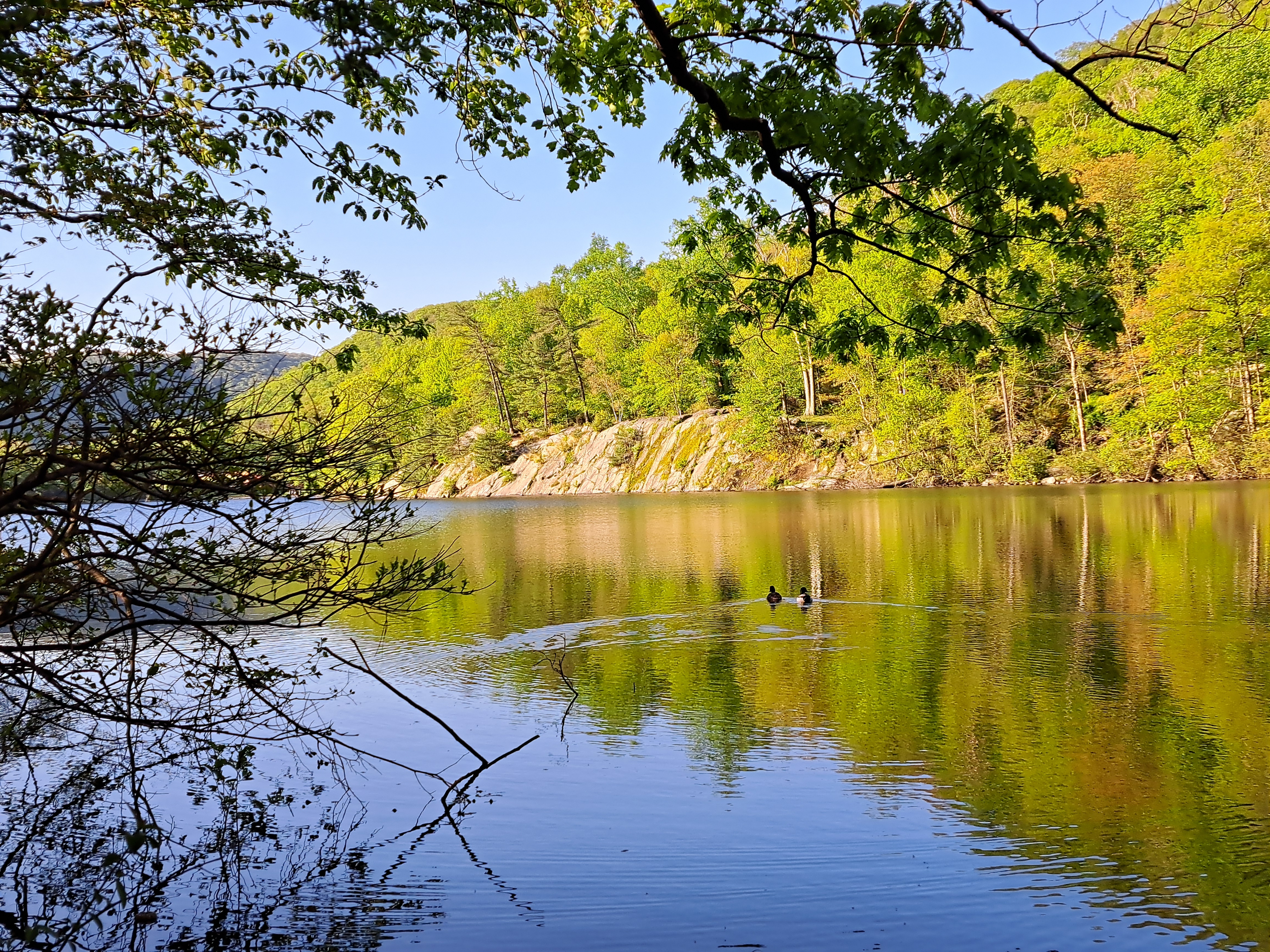
Mostly Hessian Lake, at Bear Mtn State Park, with one image in the middle below showing a turtle-abundant lake at Storm King, with a bit of Andy Goldsworthy’s Storm King Wall rising up out of the water on this side of the lake 🙂


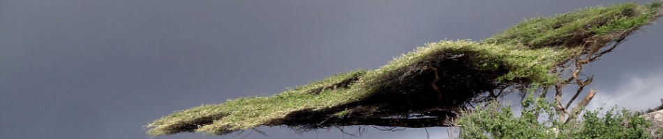
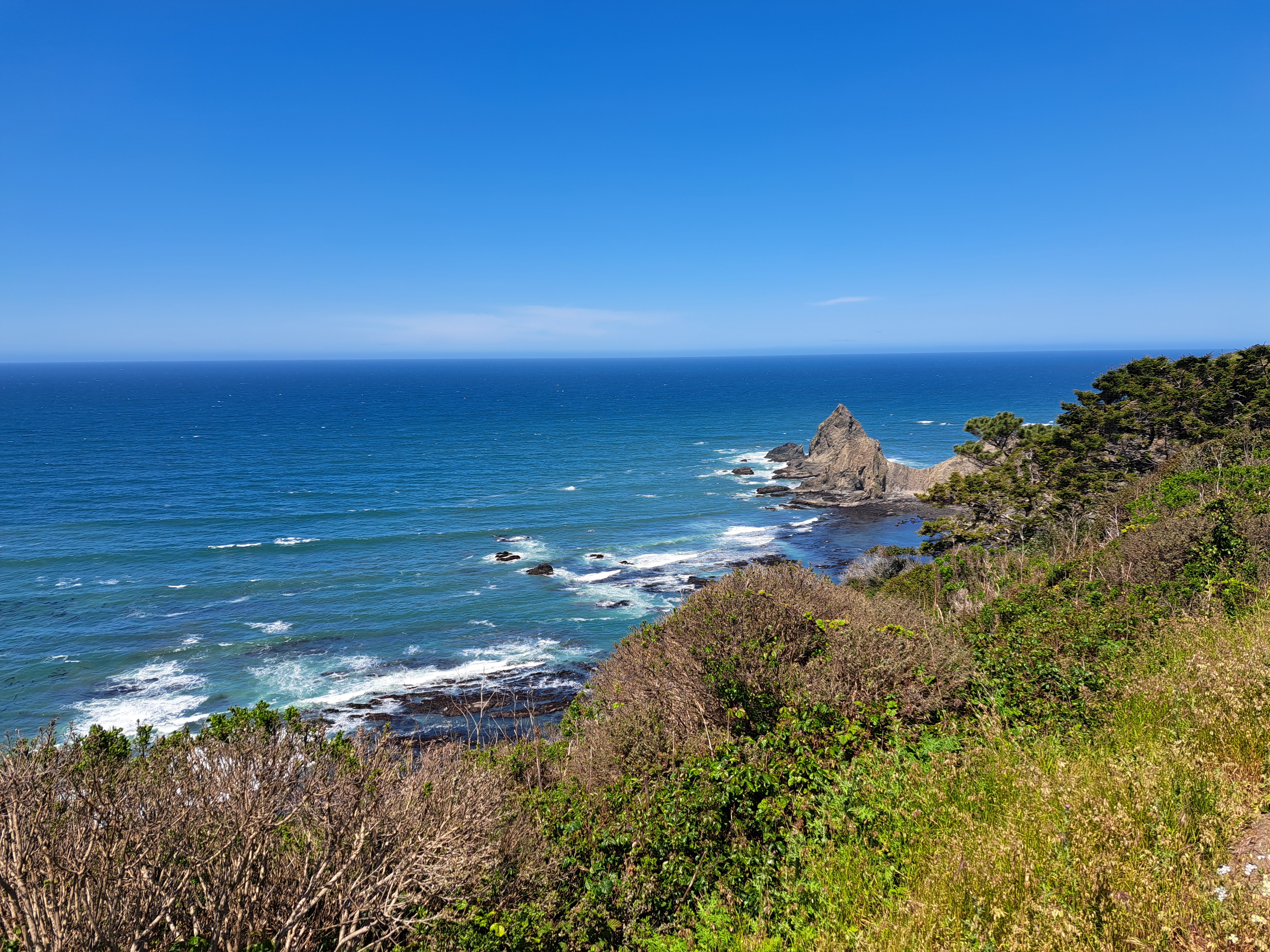
Mountains.42
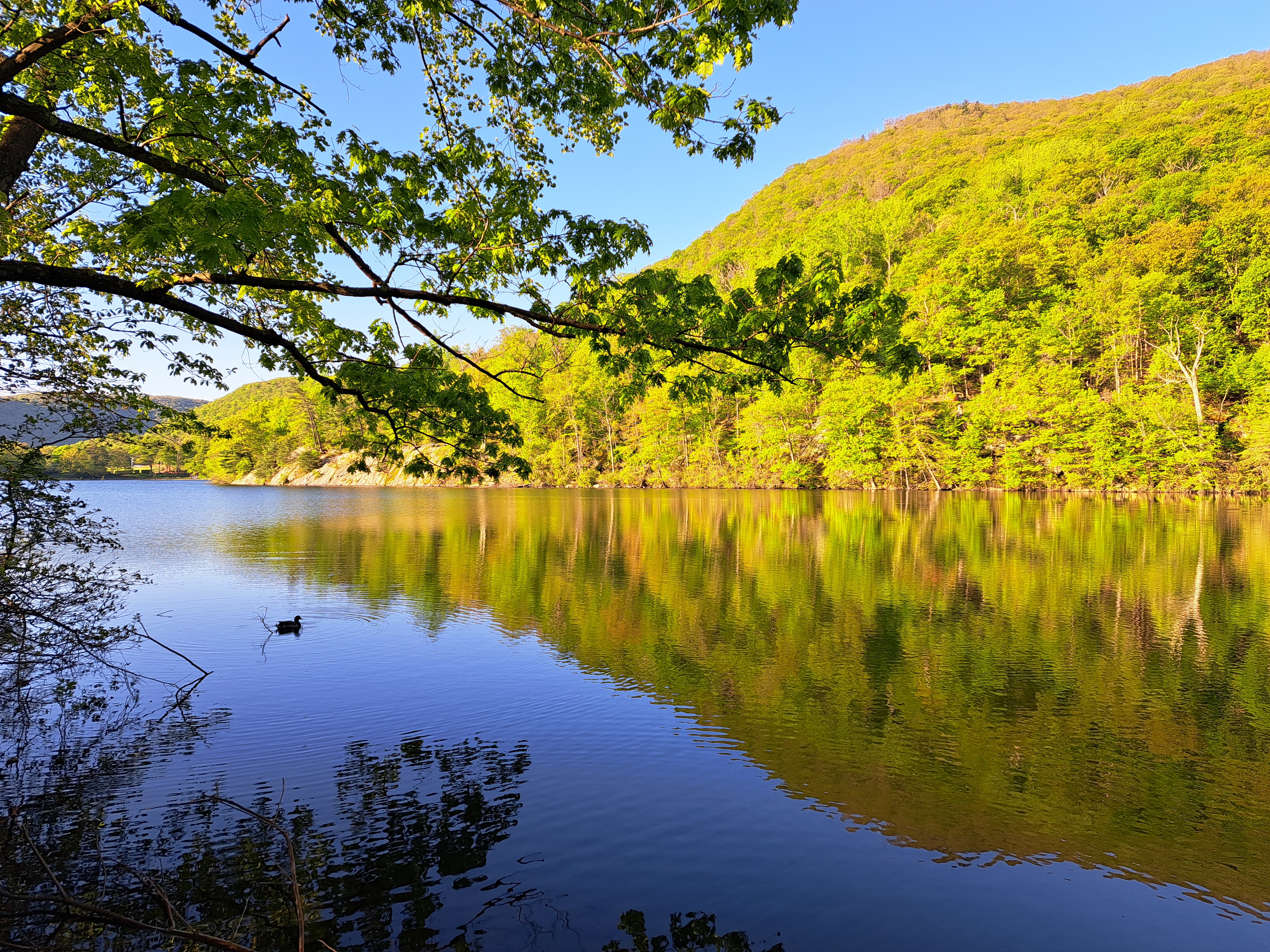
Our farewell, this and the next post, to Bear Mountain, the state park and bridge over the Hudson named after it, and other things we saw during our short stay there a few months ago for our small-family gathering to celebrate memories of Mom :-).


