
Latest
Urban Garden.104

Urban Canals.94

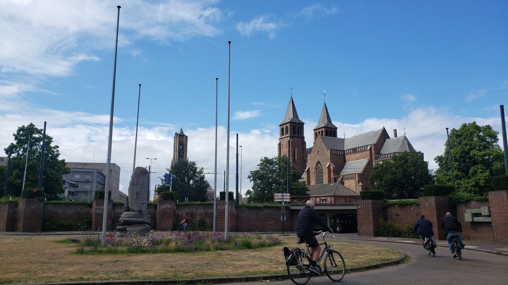
Compare the river traffic in yesterday’s post and today’s. This is the Nederrijn (“lower Rhine”) at Arnhem, just some 15km north of Nijmegen. My working hypothesis is the Dutch generally channel passenger boats and river cruises into this branch of the Rhine, versus commercial freight traffic onto the much larger Waal.
Fun-sad fact: in late 1944, the allies held (most of?) Belgium and areas of NL to the south of the Waal, at least this far east. Meaning allies held Nijmegen; Germans still held Arnhem, with no-one’s-land between. The rounded building with windows on the left is a fine museum commemorating and documenting a (individually) valiant but (tactically) disastrous effort in September 1944 to liberate Arnhem and free the road for an earlier advance on Berlin. One outcome of this failed operation was the premature exposure of many Dutch resistance fighters. Another was the (German-)forced mass evacuation of Arnhem – in winter – and the destruction of the bridge here, which is now named in commemoration of the British commander who tried valiantly but without success to hold the bridge for the allies.
Urban Canals.93
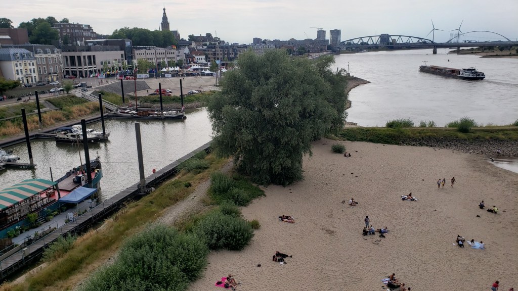
Fun fact: what you see right here was the northernmost edge of the Roman empire for some few hundred years, after they gave up trying to take even more territory away from the Germanic tribes still resisting on the other side of the Rhine.
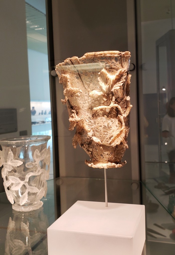
Small Wonders.133


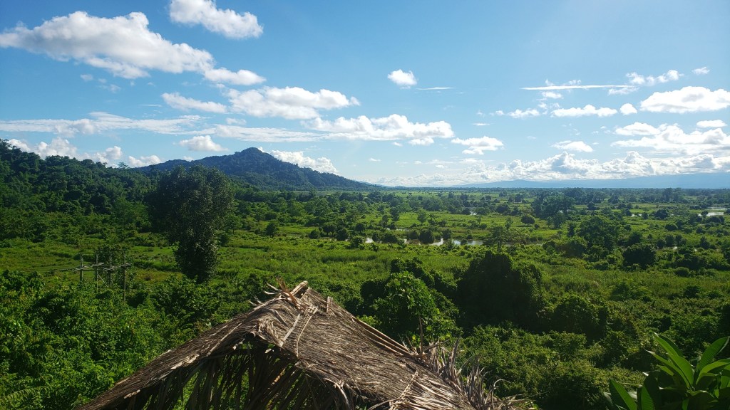
Village Views.22
Urban Entrances.32
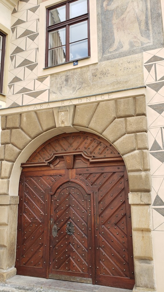
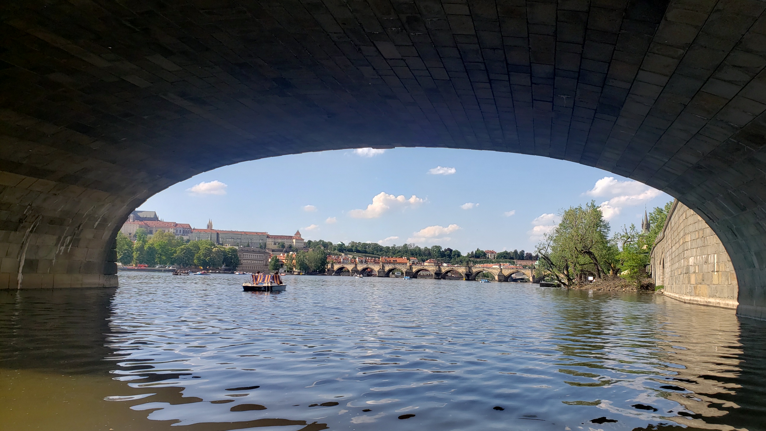
Last of my Prague doors & gateways. The larger image below doesn’t really fit the terms I’ve been using for the “entrances” posts (really just a door or a gate), but I need to wrap up the Prague photos, so you’re getting a gallery including a rogue element. In fact you’ve seen the actual door (cut off, to the right) in an earlier “entrances” post, but I loved the arches over the street as well. More entrances to come from other locations, I assure you.


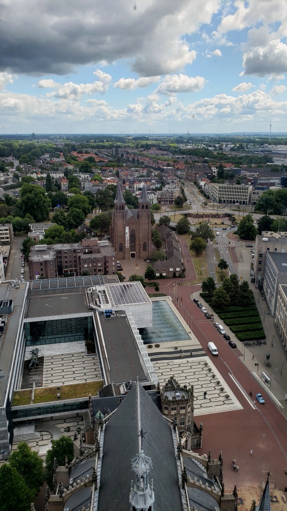
City Views.132