Latest

Coastal New England 2: At Cape Cod’s Tip


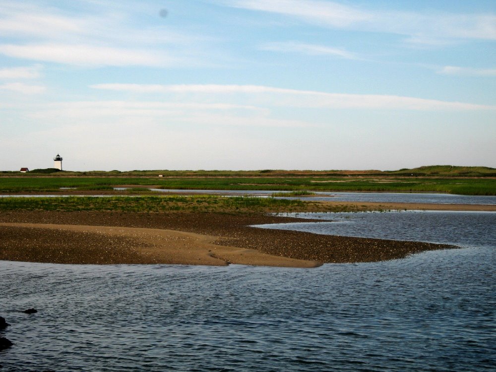
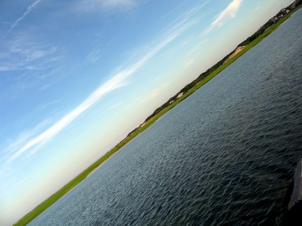
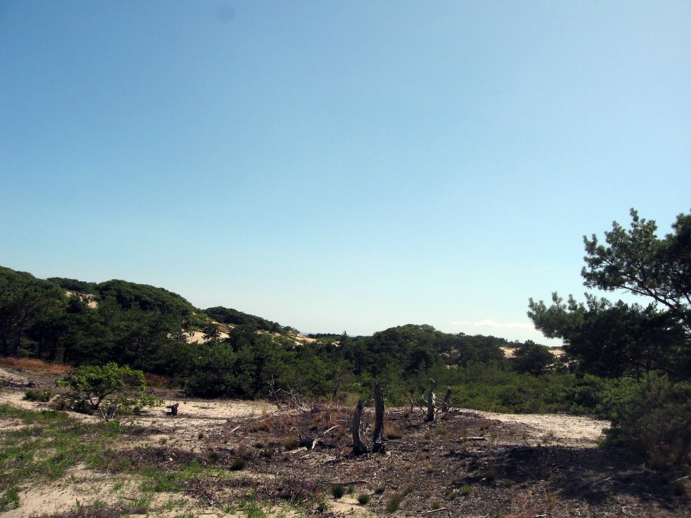
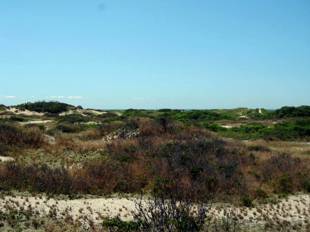
I like to say that Provincetown, a combination old-colonial fishing village, national seashore town and artsy high-concept tourist resort catering to a very wide range of tourists from whale-watching families to lesbian bikers to gay circuit boys and most things in between, is my single favorite spot on the US East Coast. The sand dunes and tidal mudflats of the national seashore are crisscrossed by bicycle and foot paths for endless exploration, and there are reliably inspiring views of clouds, water, grass, sand and sky mirroring and reflecting each other in all weather conditions, from highest flood tide to lowest ebb tide. All this, great restaurants, excellent art galleries and an endless broad array of interesting and curious people strolling down Commerce Street from dawn til well after dusk — all with the town and environs packed into a manageably small space — you can imagine why I love it so much. Why did I let eleven years lapse between my last visit and the two fleeting days I permitted myself here on my way to Star Island?

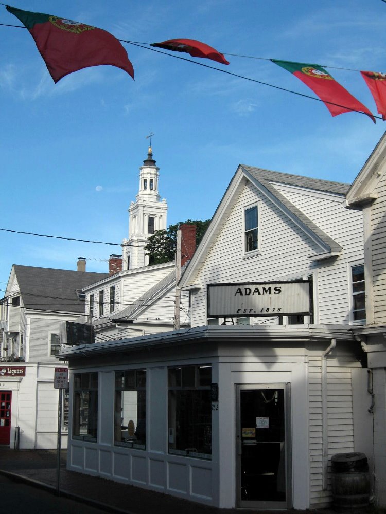
…Portuguese sailors and fishermen were an important early component of Provincetown’s European settlement. I think this is why Portuguese flags shared pride of place on the streets with the stars and stripes, the week after July 4 when I was there.


I Love NYC In the Spring

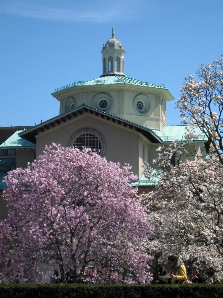
This is it, folks…smw, slt is leaving NYC after a year on these shores. Tomorrow I’ll start moving again, exploring a few parts of the US before I leave in late July to take up my next post with MSF. There’ll be more information later about where I’m going, and probably another blog entry from my travels in the US before I leave for briefing in Amsterdam, but I want to take a moment to honor the city which I knew so well from the 70s through the 90s, but haven’t spent more than a week in since 1997. Having spent the 12 years since then largely in mediterranean climates (LA and SF) or in the tropics, I’d truly forgotten the robust bursting expressions of life and color that characterize the temperate spring. So herewith an ode to NYC in spring, now that summer has come and I’m leaving NYC. Enjoy. Stay tuned for more regular updates and photos since I’ll be traveling again.
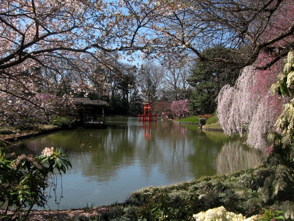
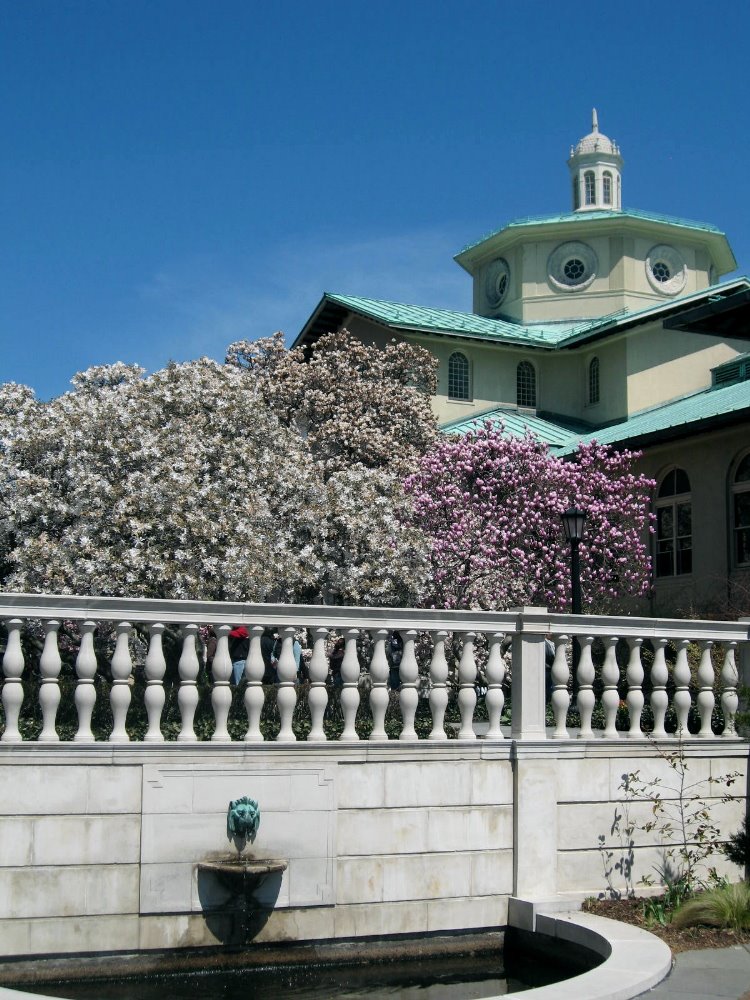
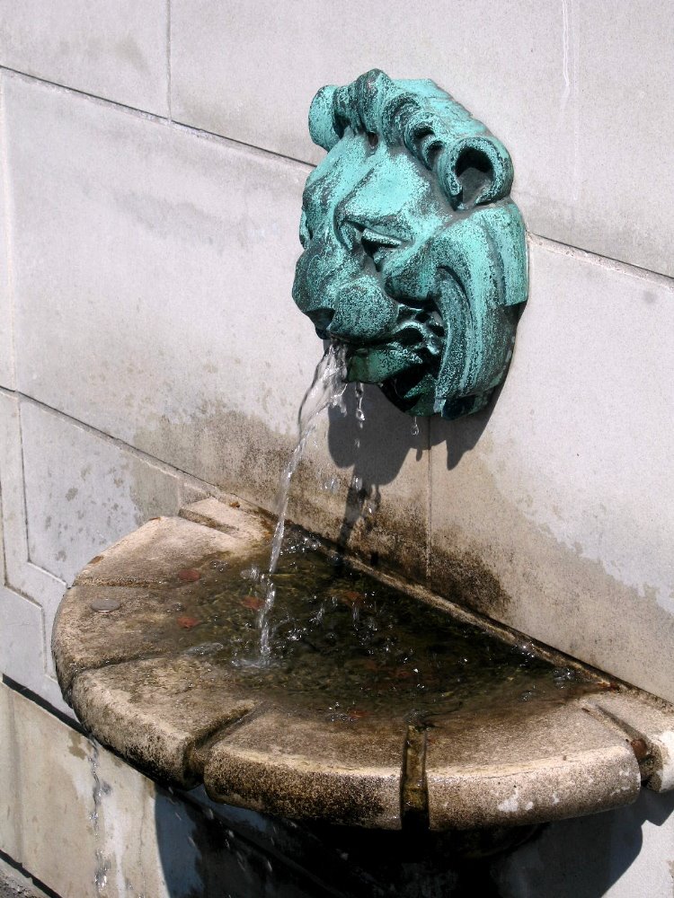
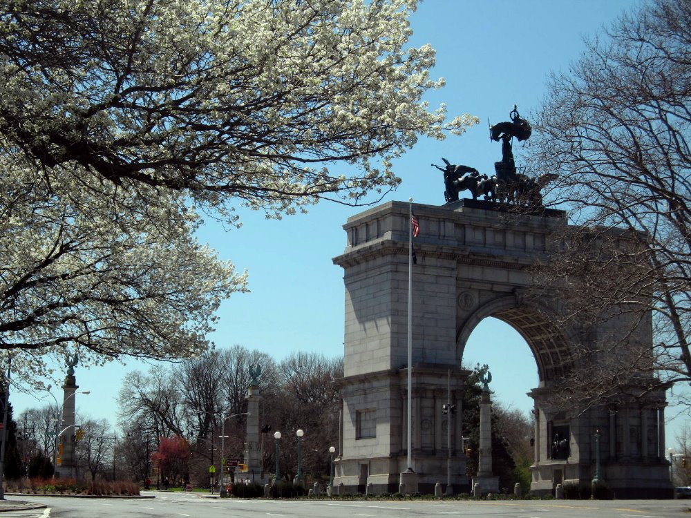
…Yes, Brooklyn is part of New York City and dear to my heart as my home for a decade. Above and below – Brooklyn Botanic Garden during cherry blossom season, and Grand Army Plaza in the heart of Brooklyn by Prospect Park & the Brooklyn Public Library.


Some of my readers haven’t been to NYC and I’ve mostly aimed my NYC blog posts at folks outside the US who might consider visiting some time. I’ve always told European friends, in particular, that American cities are nothing special compared to European cities, and I stand by that; it’s our vast natural landscapes of endless variety and (underfunded) national parks that make the US a top-notch tourist destination, in my view. That said, the US has several cities that are chock full of great architecture, museums, parks, restaurants and people – even if none can hold a candle to ‘old-world’ cities like Athens, Istanbul, Varanasi or Beijing when it comes to history. The Brooklyn Botanic Gardens were one of my favorite weekend haunts when I lived in NYC. You see why, I’m sure.


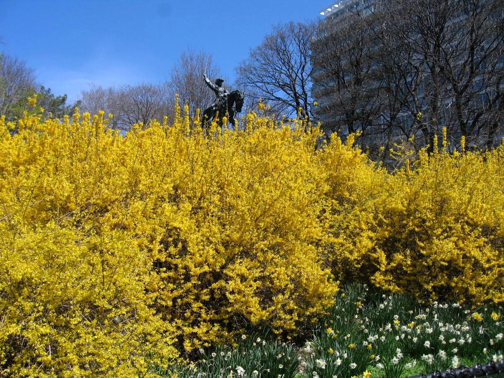
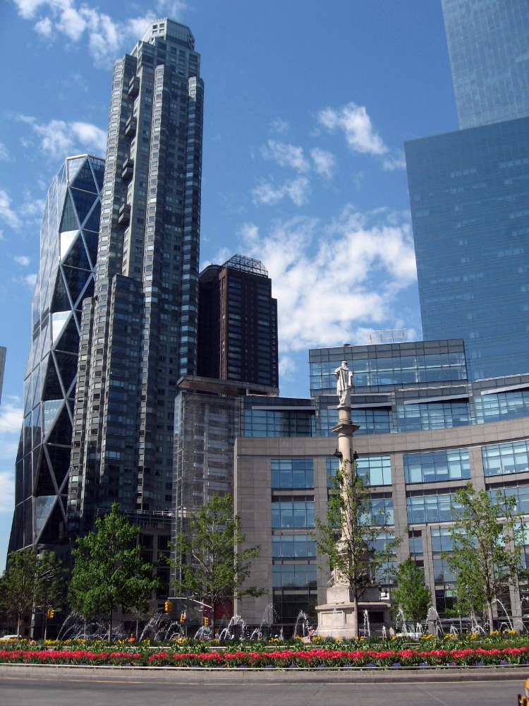
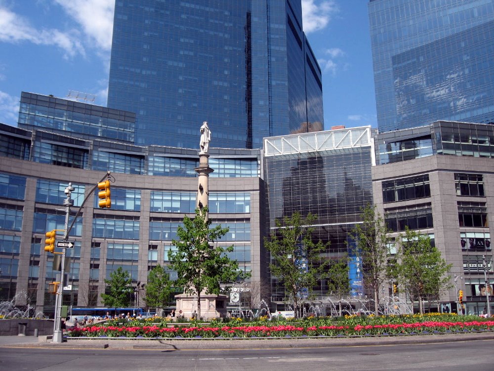
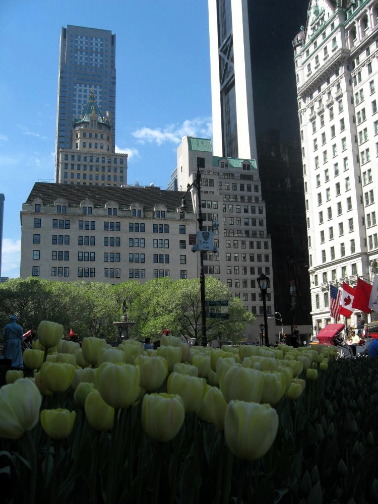
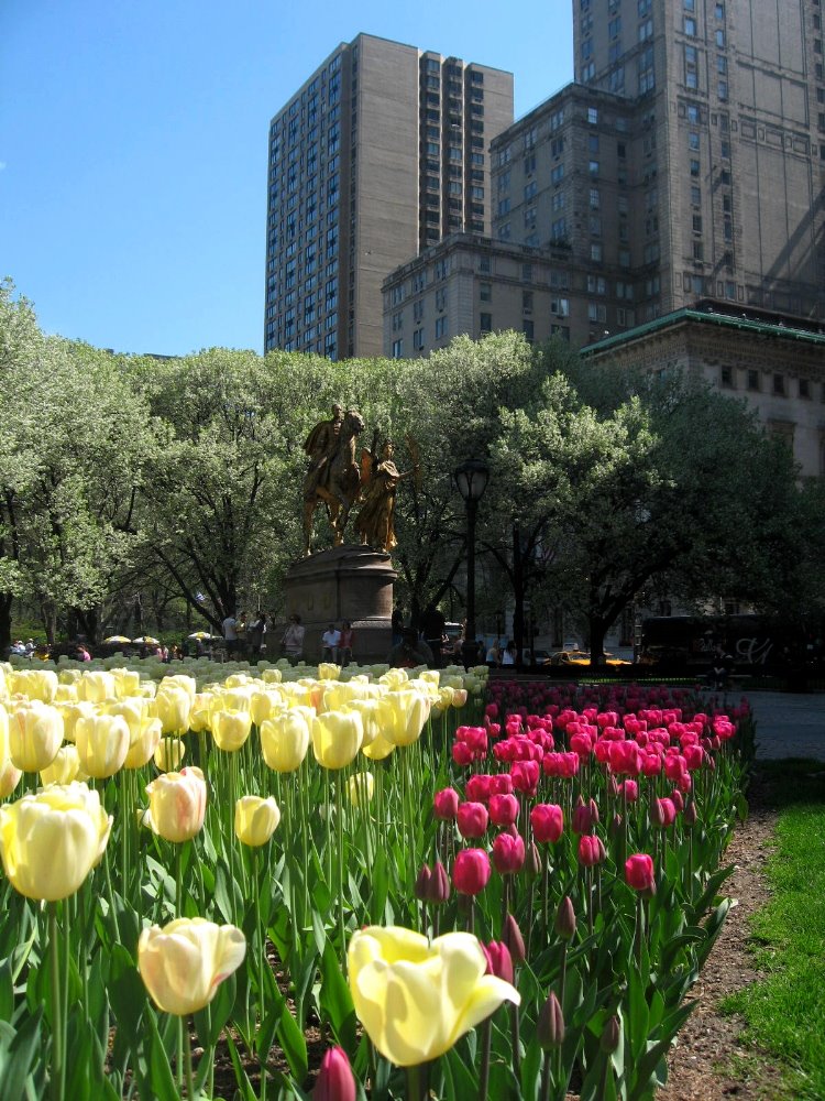
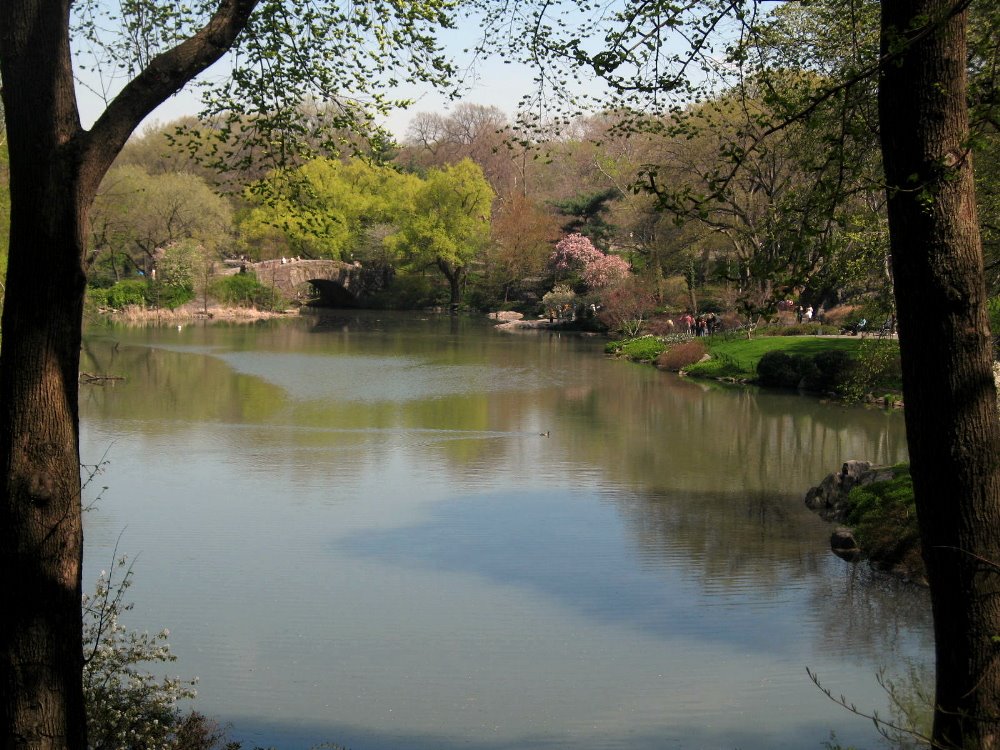
Since April I’ve taken a weekly conversation class at the Alliance Francaise – French Institute in NYC – another of those great NYC resources that everyone should check out, with really excellent classes and good membership benefits and programs. Every Saturday morning I’ve taken the A train to Columbus Circle, beautifully renovated and now a lovely magnet for strollers and walkers at the southwestern corner of Central Park, and walked through the park to my class over on Madison Avenue, past (Manhattan’s) Grand Army plaza at the southeast corner of Central Park, home to NYC’s famous Plaza Hotel and, on the day I took the photos below, many beautiful April tulips. (American history lesson for the curious: the Grand Army was the Grand Army of the Republic, aka the Union or northern army which deafeated the Confederate Army in the American Civil War, which for those of you who don’t know was an indescribably deadly and prolonged war from which the country took many decades to recover, and in some ways still has not. NYC’s population and economic might were important assets for the Union side, the city supported the war effort, and thus NYC has two famous Grand Army Plazas in the boroughs of Manhattan and Brooklyn, which until 1896 was a separate city. The history of the names is more complicated, but go to Wikipedia if you want more.)


Hyde Park in the Hudson Valley

The Hudson Valley is a great visual joy north of New York City, and one of its historical highlights is Hyde Park, home of Franklin Delano and Eleanor Roosevelt. Hop on Metro North from Grand Central or 125/Harlem for a gorgeous ride that takes you into the Bronx and along the riverbanks with views of Manhattan and New Jersey as the train tracks hug the shoreline nearly all the way up to Poughkeepsie, nearly two hours north of the city. Any train ride on the Hudson River line is a pleasure; on a spring day with sparkling blue skies and fresh green leaves bursting on all the trees up this hills and mountains that slowly rise as you move north, it’s a treat. I can’t recommend it enough.
Once you reach Poughkeepsie, there are usually shuttles that can take you the few miles farther north to the Franklin Delano & Eleanor Roosevelt national historic sites. I was tempted to wax political – after all, FDR was one of the masters of 20th Century American politics – but will limit myself to reminding everyone that the country had 50 years without a banking collapse, for the very first time in its history, after new regulations were put in place and enforced under FDR and subsequent administrations. (They’d been happening every 10 to 20 years from the 1780s until then.) It wasn’t until 1989 that we had another banking collapse, after eight years of Republican presidents who philosophically disapproved of government regulating business.

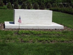
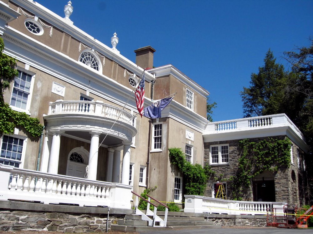
So in Hyde Park you have something for everyone: political history and the presidential library of FDR; the Eleanor Roosevelt historical site, which highlights her leadership in the drafting of the universal declaration of human rights (if you’ve never read this document, please do – it’s very visionary and though often ignored and disrespected, it represents admirably high aspirations), education, civil rights & integration, rights of women and children, and so on. There’s colonial history, colonial architecture, the chairs and tschotschkes the Roosevelt family collected, and simply lovely views over the Hudson Valley. A very enjoyable day trip from the city on a clear day – keep it in mind next time you have a free day in NYC!
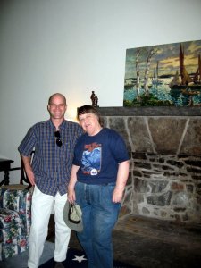
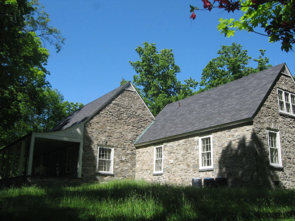
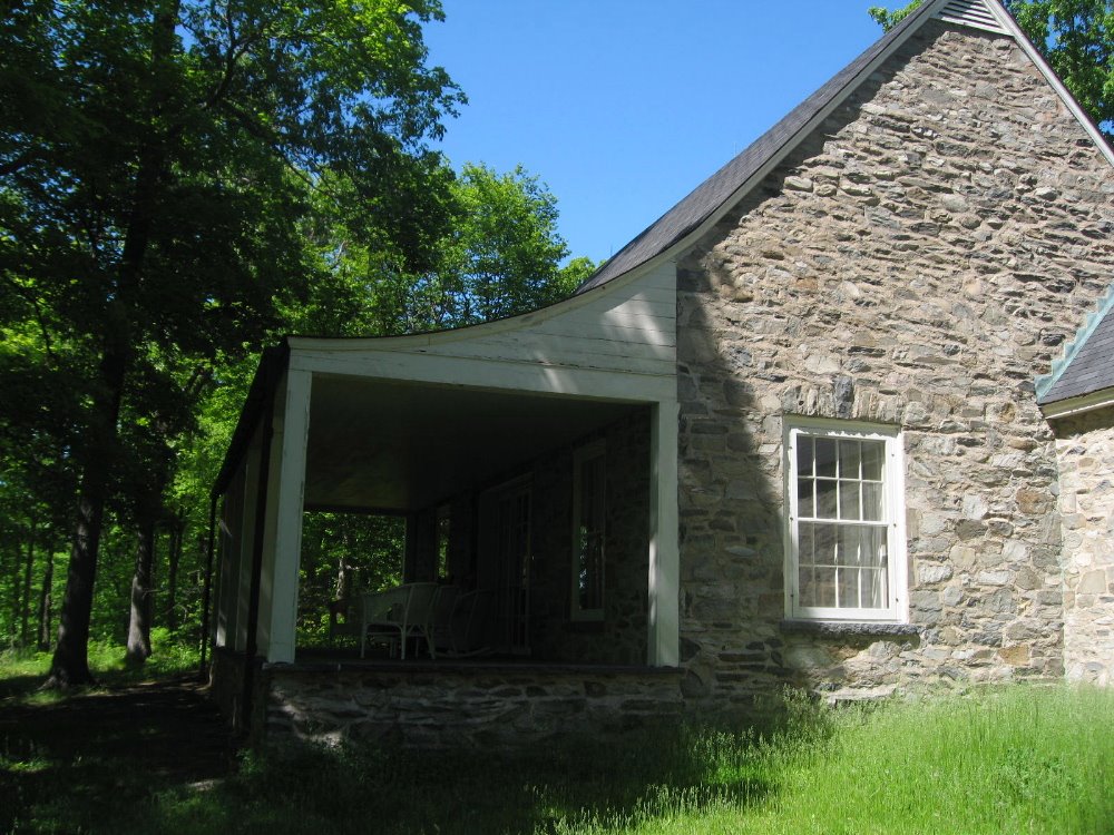
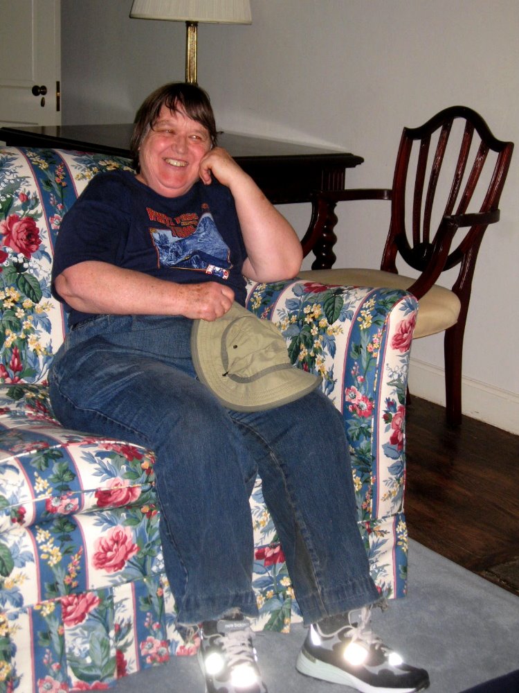
Above and below are photos of Top Cottage, FDR’s truly private retreat up a high hill inland from the main Roosevelt family house. Roosevelt was an amateur architect, and designed some local post offices as well as this house, a visit to which is a real treat that gives a sense of how Roosevelt gave himself quiet space as he directed the rejuvenation of the American economy and the war effort. Since they’ve either made replica furniture that very closely matches what was once there, or brought back actual pieces that were there at the time Franklin & Eleanor hosted, for example, the King & Queen of the UK, it was a real treat for Mom & me to pose for a photo in the same spot as some pretty famous folks.
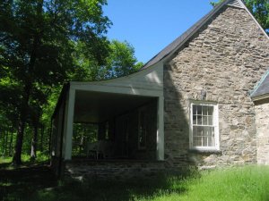
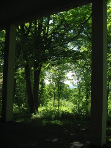
…the view from the porch of Top Cottage. You can sit there and hear…nothing but the sigh of wind in these trees. For a man directing the war effort in Europe & the Pacific, such a retreat must have been priceless.



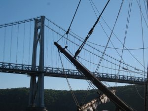
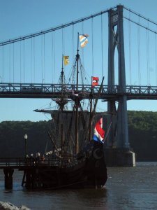
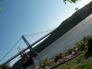
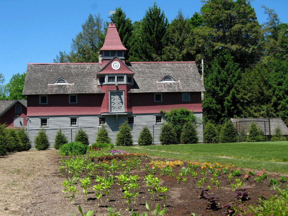
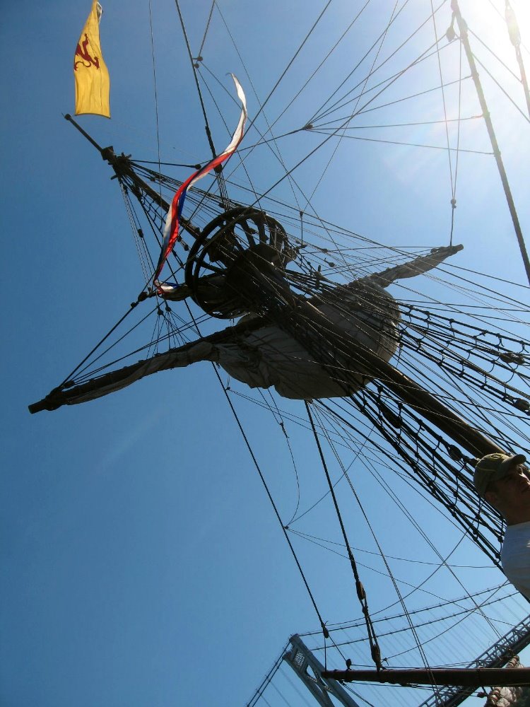
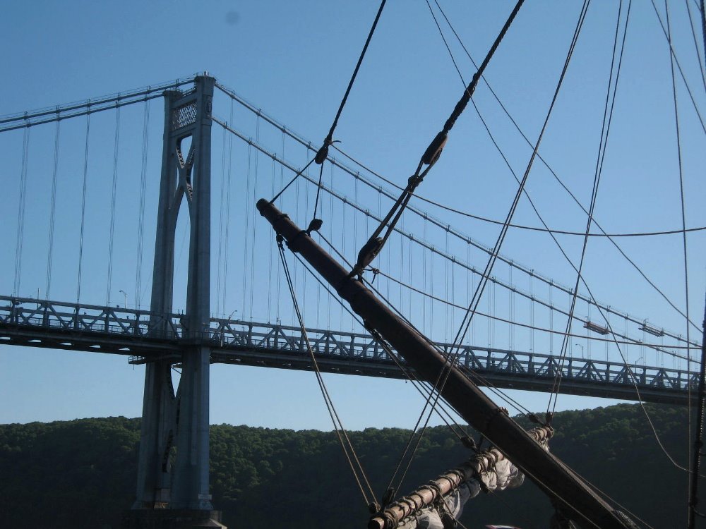
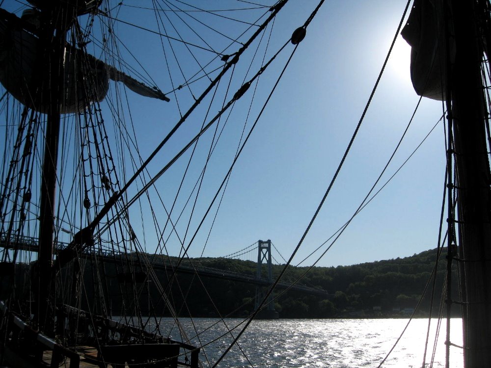
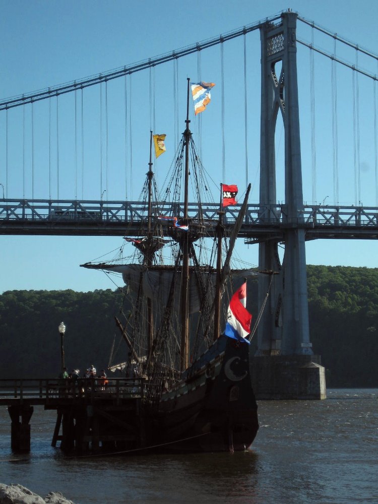
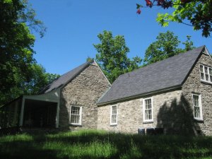
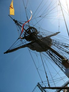
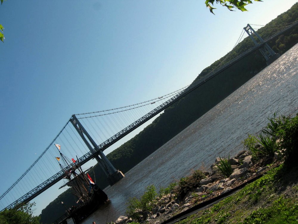
Above, the Roosevelt barn & garage in classic Dutch colonial style. Below: 2009 is the 500th anniversary of Henry Hudson’s voyage up the Hudson, which made him the first European to explore and map the region. This ship is a close replica of Henry Hudson’s ship Half Moon, which is doing a tour of historic towns in the Hudson region from Albany south, in honor of the 500th anniversary of European arrival on these shores. As you can see, I fell in love with how the rigging of the ship looked against the rigging of the (Franklin Delano Roosevelt) Mid-Hudson bridge, which connects Poughkeepsie (east side) to Highland (west side).


Tongariro Crossing – The Summit of Mt Doom :-)

So that’s it, folks. Two months in Australia and New Zealand (plus the bonus couple nights on Tahiti) over and done with, back to the life I was leading last year in NYC and environs. Here are all the pics I’m gonna give you from New Zealand. (There were more, but you’re glad I’ve pared it down even this far, aren’t you?) I was gonna wax political, about carbon footprints and how even comparatively well-off Aussies and Kiwis hang their clothes to dry and don’t even own a dryer; about how it seems the whole world gets what too many Americans still don’t, that Obama is our best hope and we as a people really need to rise above the narrow commercialism and blind xenophobia (masquerading as patriotism) that’s come to dominate our culture and society, and rediscover some social and cultural values like caring for our world, community, and honesty and quality of life that don’t have to do with someone’s quarterly bottom line. But that’s boring. Or I was gonna explain what I’ve given up in order to save the money to do this kind of trip, rather than working a regular corporate job and doing the daily commute. But that’s even more boring. These pics are interesting, so I’ll leave you to them. May this year and many to come be full of more hope than we’ve had recently. I will, just by way of grandstanding, leave you with two quotes, below…they say it all better than I could. Peace, out.
“…FlexPetz…rents out well-trained dogs to busy professionals in several California cities. [One] customer…feels like an uncle to the dog he borrows for $39.95 a day… Meanwhile, dog and cat owners who travel frequently now have another option for their pets… Posh digs for pets are available in airports… Amenities for dropped-off animals include piped-in music, individual suites, gourmet treats and Web cams so distant owners can check in on their pampered pets.” (High Country News)“Smallpox ravaged us quick, tuberculosis killed us slow, liquor made us stupid, religion meddled with our souls, but the bureaucracy did the worst and finally bored us to death… Along with rules, there came another affliction. Acquisition, the priests called it. Greed. There was no word in our language to describe this urge to own things we didn’t need. Where before we always had a reason for each object we kept, now the sole reason was wanting it. People traded away their land for pianos they couldn’t play and bought clothing too fancy for their own everyday use. They bought spoons made of silver when there wasn’t food…Where before we gave our things away and were admired for our generosity, now we grew stingy and admired ourselves for what we grabbed and held.” (Louise Erdrich, Four Souls)

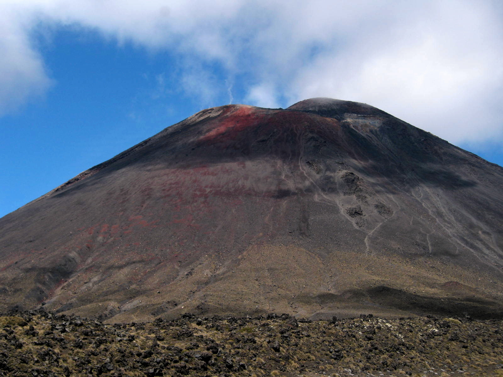
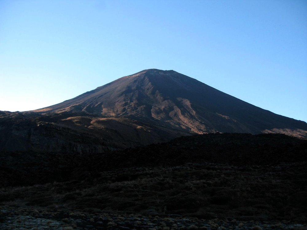
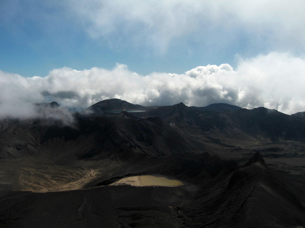
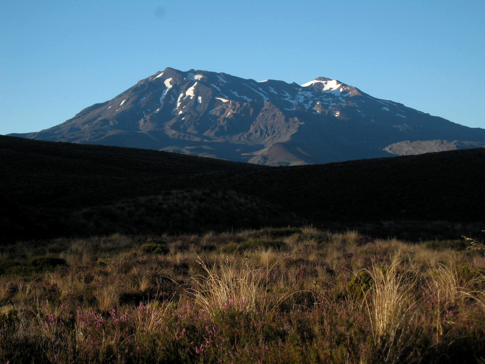
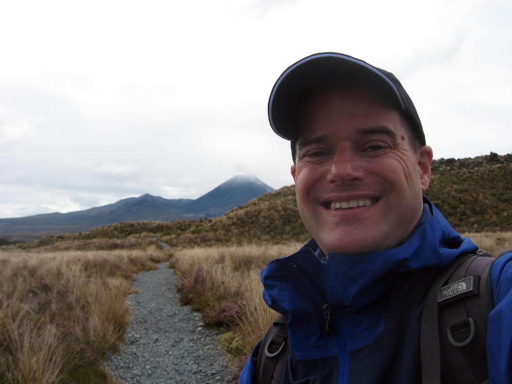
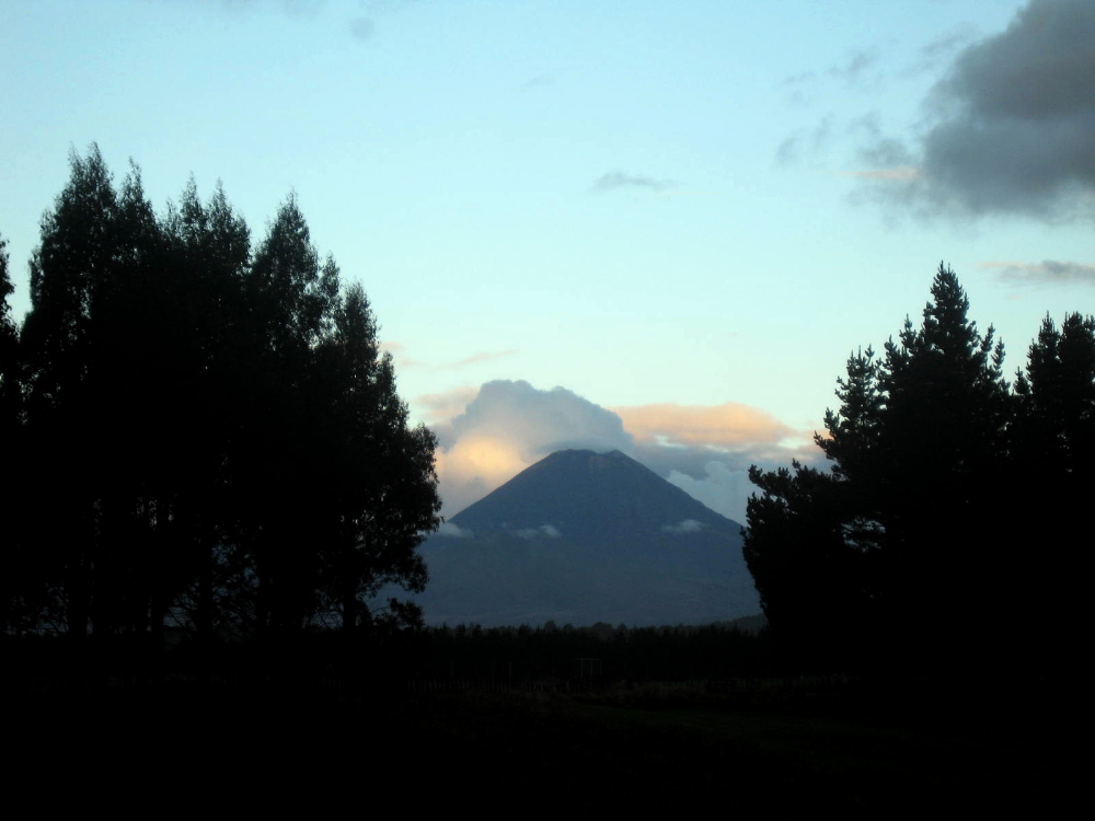
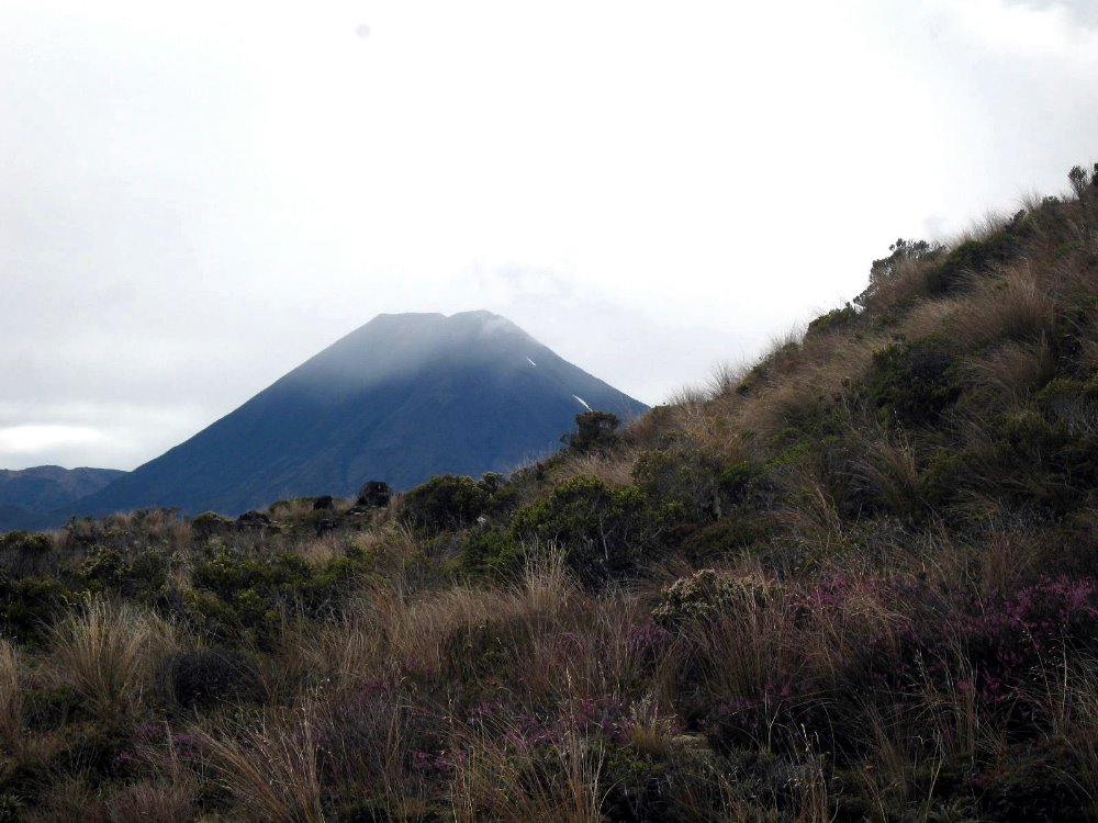
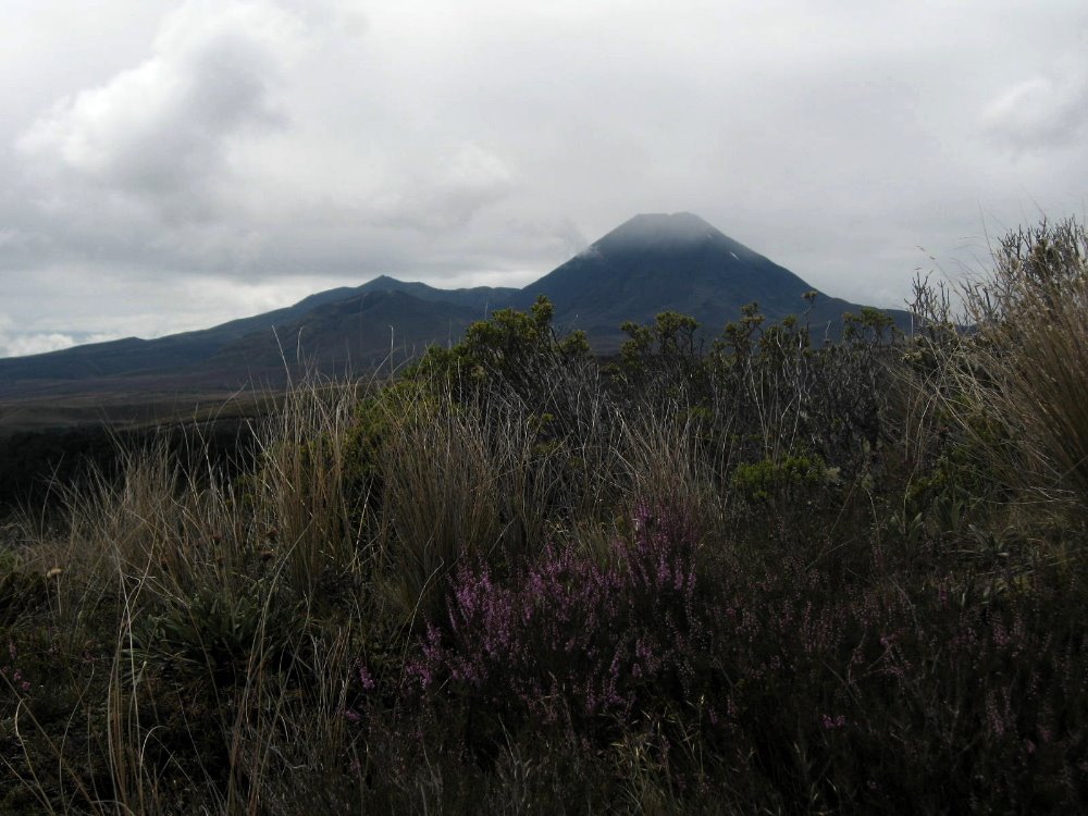
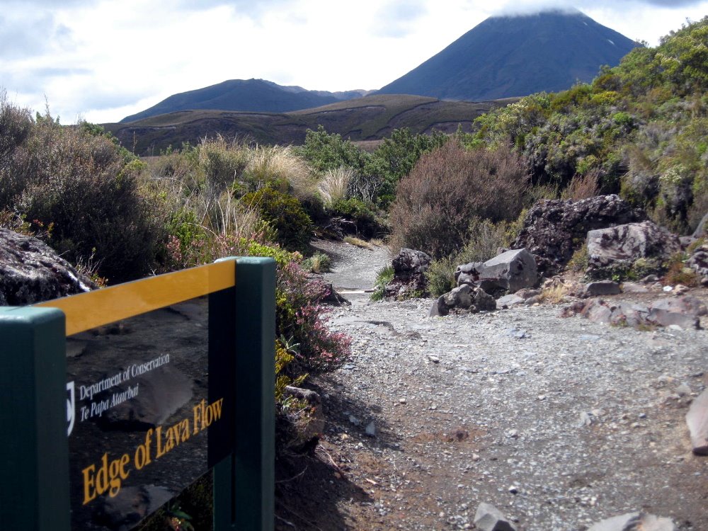
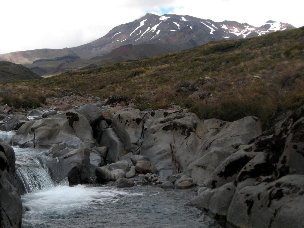
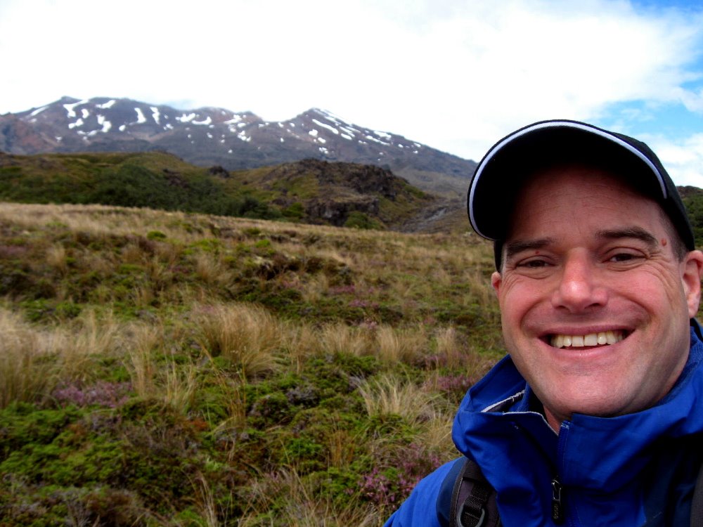
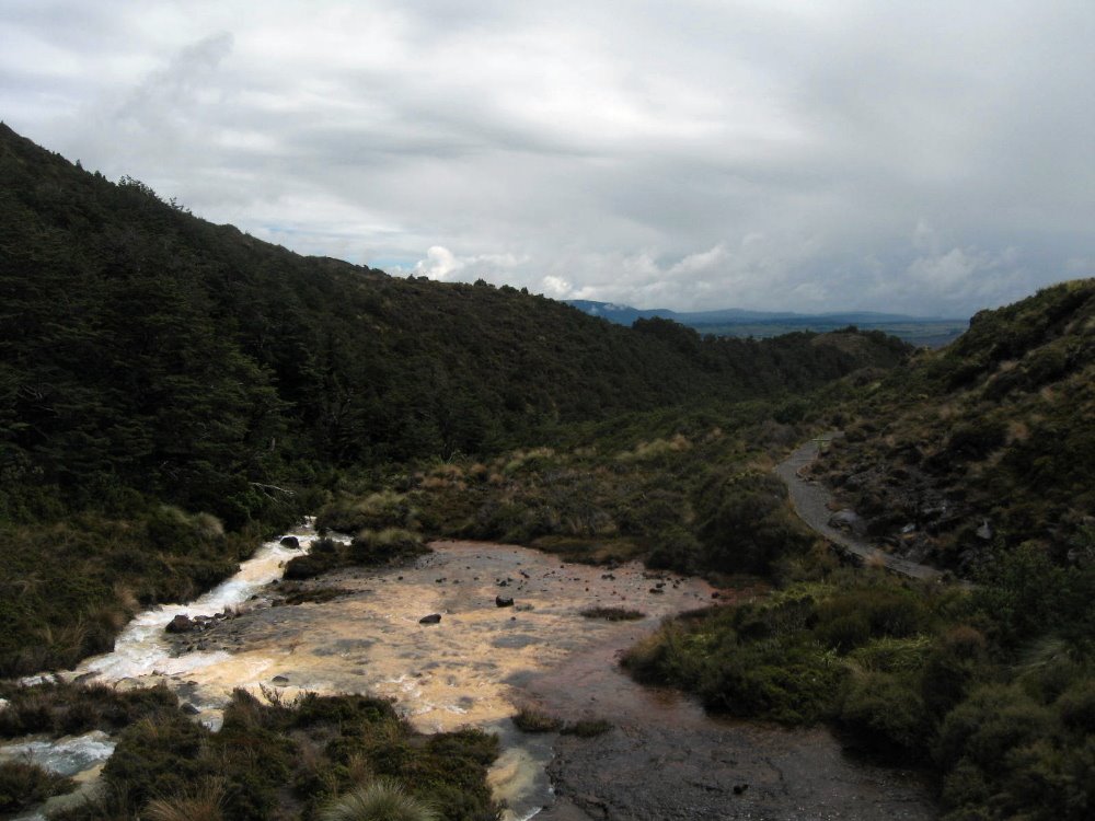
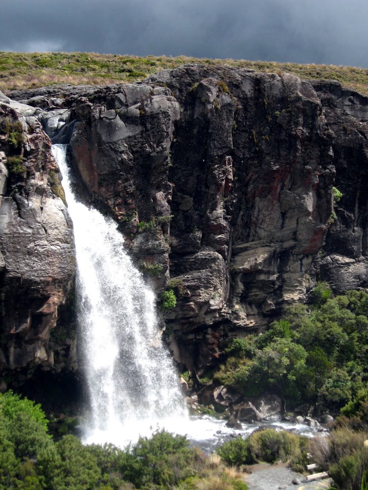
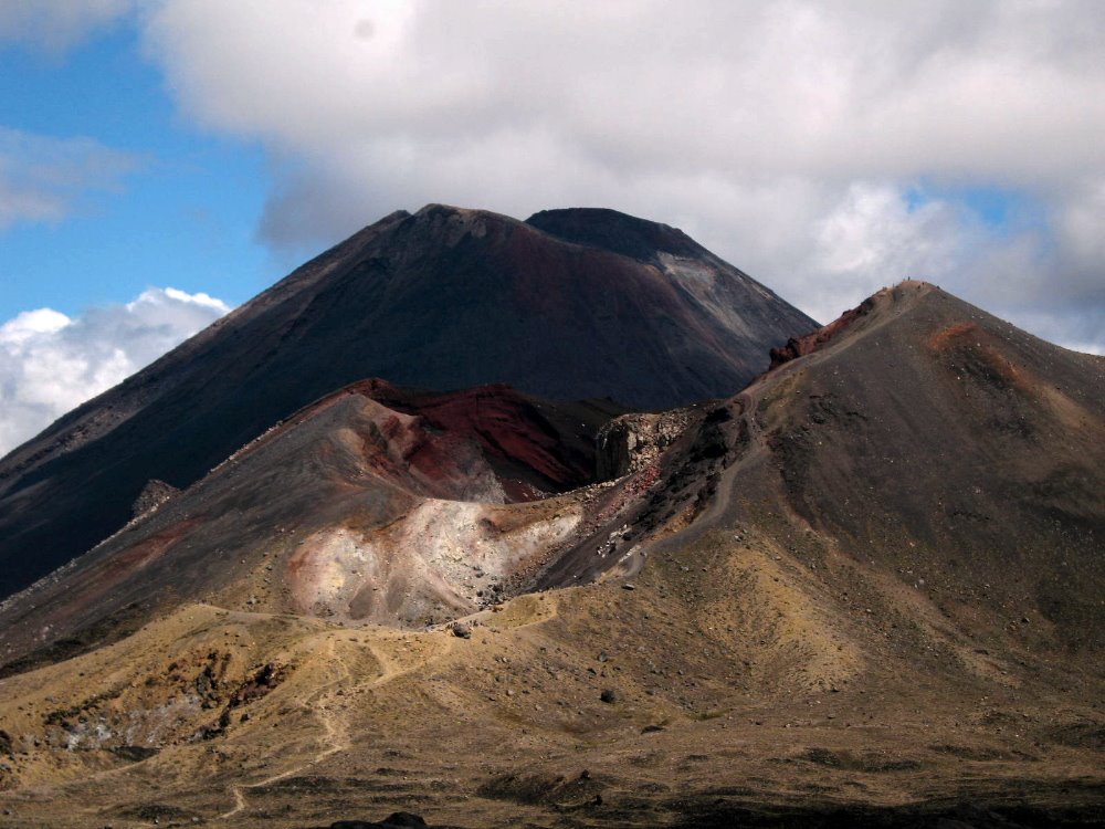
Of the three active volcanoes in Tongariro National Park, Ngauruhoe is the second highest but by far the most classically-proportioned. It’s a pretty imposing sight, isn’t it? Imagine seeing it as I did: Climbing up a ridgeline from a bright-yellow stream (made yellow by all the minerals in the water, like at Yellowstone), suddenly at the top of the ridgeline I can look across a sparse scrubland of alpine plants to the towering even cone of Ngauruhoe, whose summit and cone are shrouded in cloud. Hearing the rotors of a helicopter clack-clacking away to my right, seemingly on the snowy slopes of tallest Mt Ruapehu, I look over and see that the helicopter is trailing some kind of long flat payload from a cable hanging below it. Has someone been evacuated after a fall while climbing to the 2800-meter summit of Ruapehu? Or is it something more mundane, like logs being dropped somewhere for trail maintenance? Then I look again ahead of me at the summit of Mt. Doom, no Orodruin, no Ngauruhoe (yes: a digitally-altered image of Ngauruhoe was indeed the image of Mt Doom/Orodruin the Lord of the Rings movies – small wonder, huh, seeing it in real life here!), and…wait a minute, the cloud has cleared a bit, but isn’t that a small trail of steam rising directly up out of the cone? Is that helicopter, perhaps, part of some general evacuation? Is all hell about to break loose with flowing lava and an explosion on the summit of one or all of these volcanoes? 🙂


In point of fact the ‘volcanic activity danger index’ was zero that day. But yes, it’s quite possible I really did see some steam rising from the cone. When I climbed it, the following day, I noticed there’s a vent on one side which regularly emits plumes of steam.

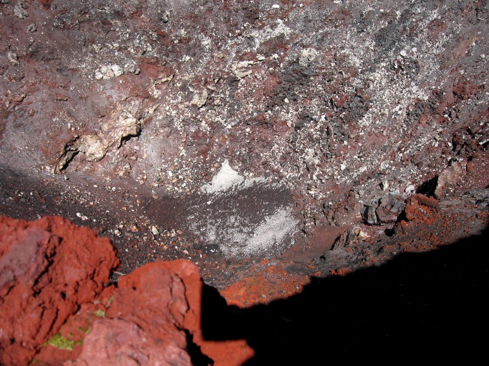
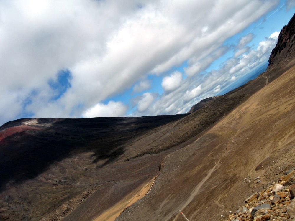
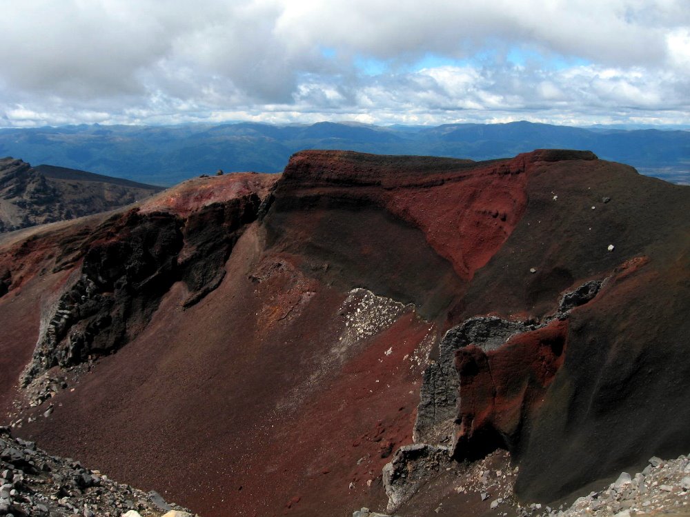
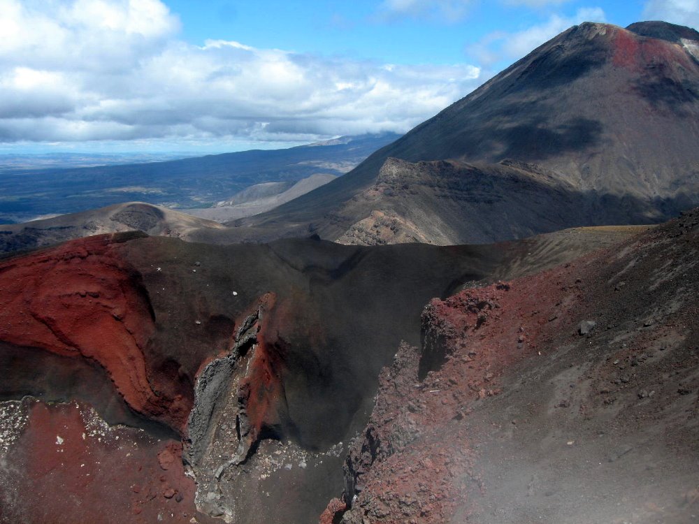
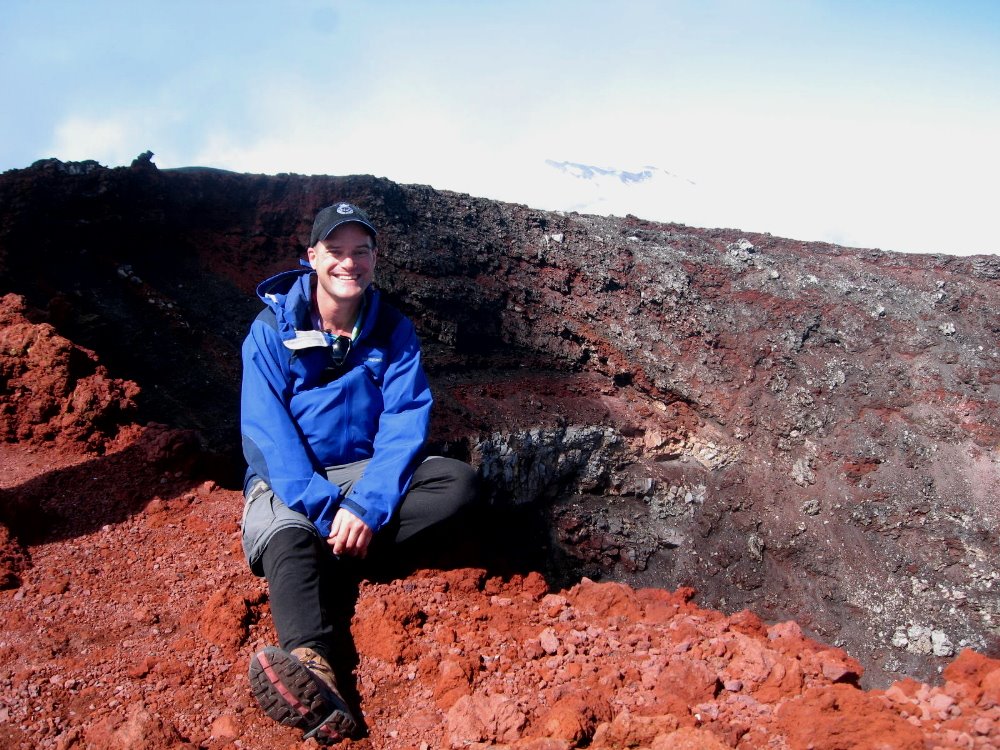
That there is looking down into the actual crater, from the summit. The text I wrote above is really about what I did on the rainy day before I did the official “Tongariro Crossing,” which is an almost 20km day hike almost all above tree line that goes from the west side of Mt Ngauruhoe up and over to the north side of Mt Tongariro; to clarify: Ruapehu, at about 2800m, is the southernmost, most active, and most snow-covered of the mountains; Ngauruhoe, at about 2200m, is in the middle and the most obviously volcanic, seen from a distance; and Tongariro, after which the whole park is named, is at about 1800m the shortest of the three but very large with several active craters over and around which we walked, and is the northernmost of the three.
Indubitably the best decision I made in one month here was, upon arriving in National Park by train (lower down for that story) and learning that weather was forecast rainy the next day, to extend my stay by a day and do the hike on the following day, forecast mostly clear and sunny. Having done the alpine sections of the Kepler Track (next section down…) in snow and fog, I just wanted some clear views from these highest sections of North Island.
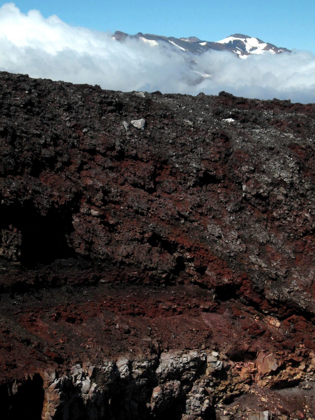
That’s snowy Ruapehu, highest peak on North Island, behind the crater of Ngauruhoe; and two shots down, look to the left of the crater, and you’ll see a plume of steam coming off. Atmospheric, no?


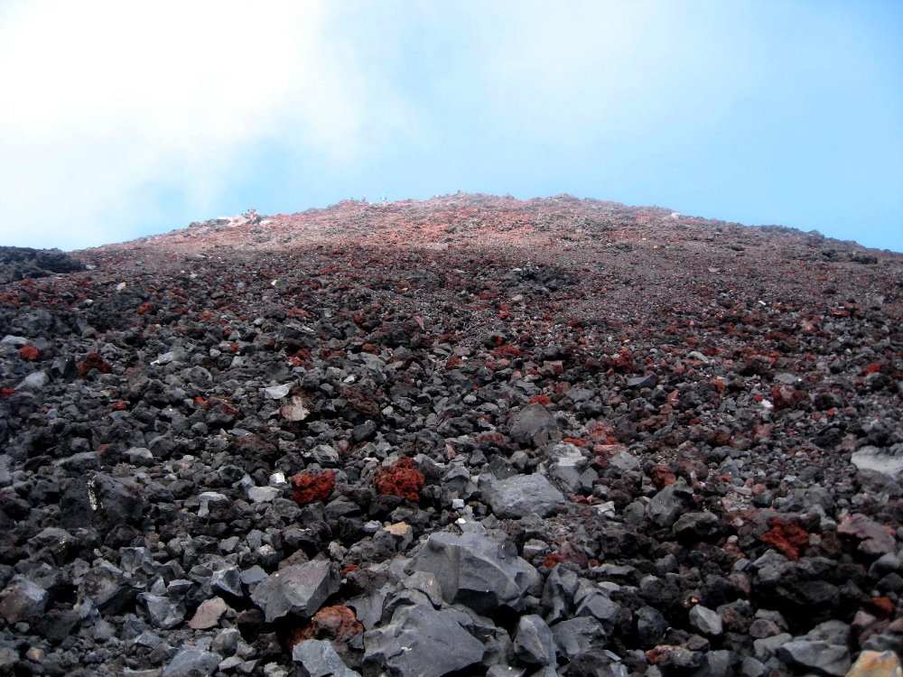
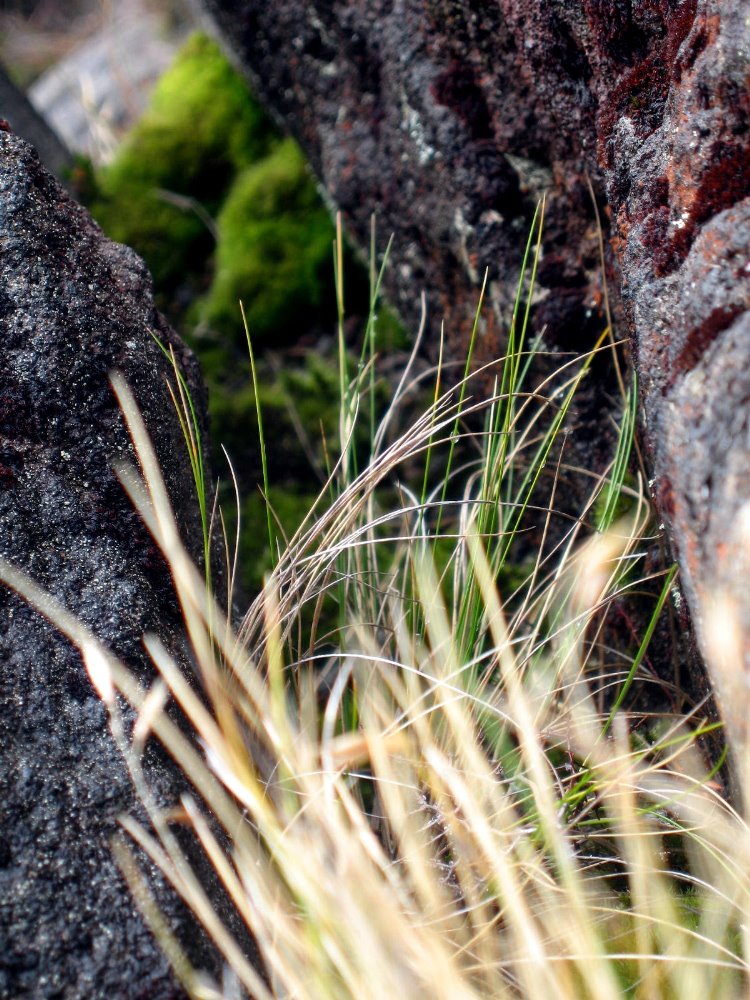
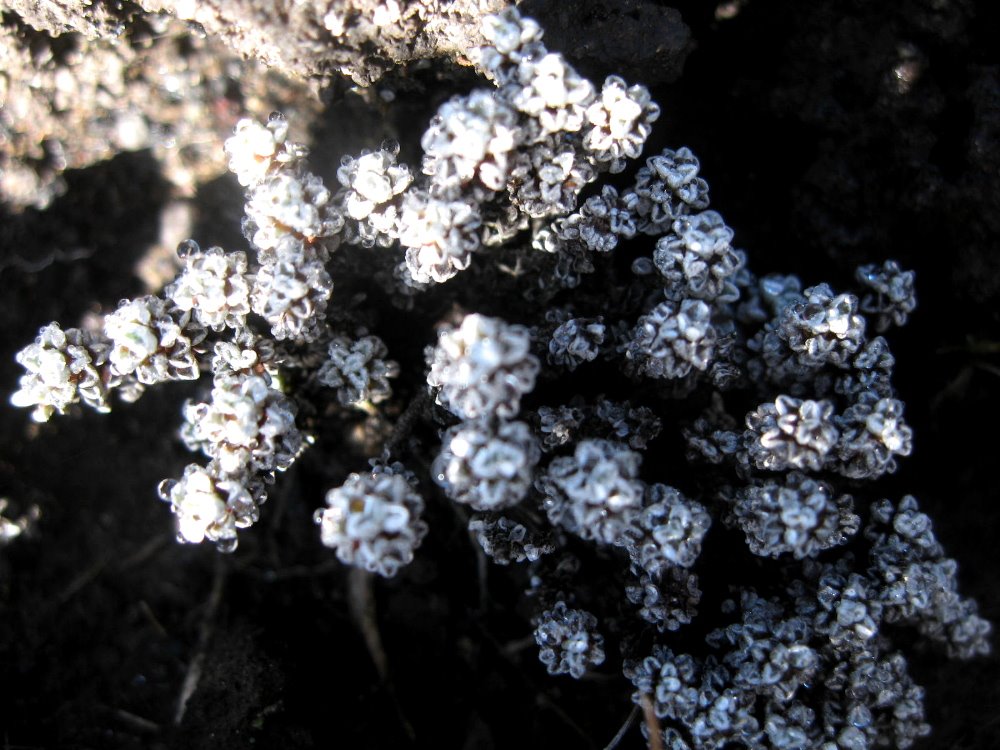
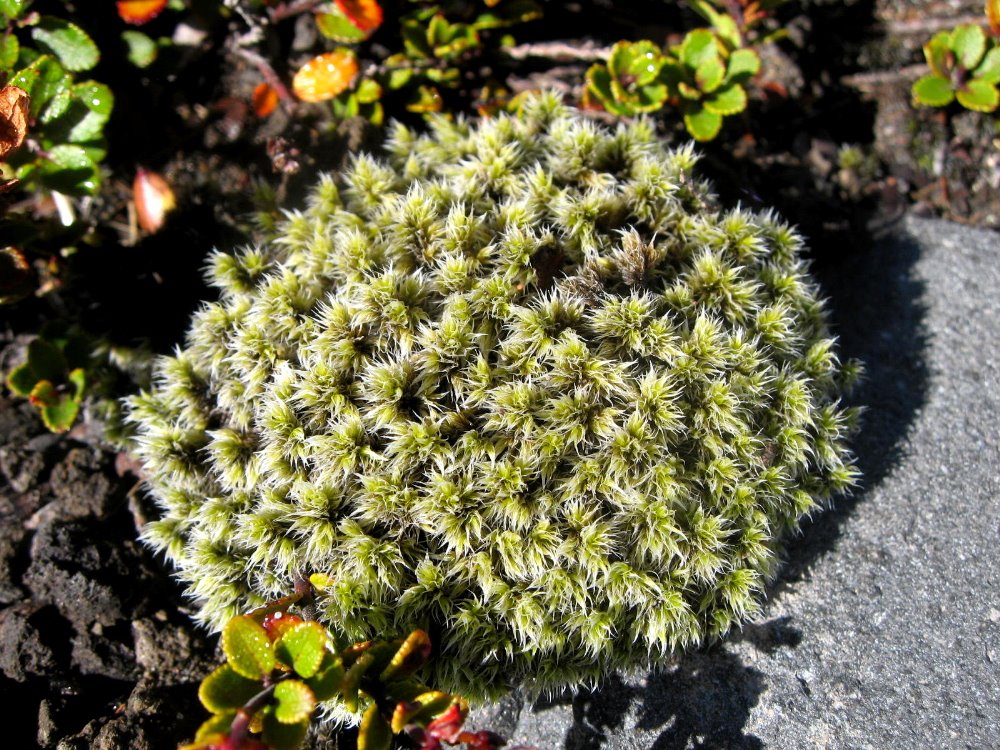
The main Crossing track doesn’t include ascending to the summit of Ngauruhoe — up which, in fact, there is no marked trail. All those little rocks with blue sky at the top of the photo, above? You wonder why they’re there? They’re the summit of Ngauruhoe. That’s the trail. It’s 1000m up, and then 1000m back down to the main trail – which itself includes some serious ups and downs for the recreational walker – and a lot of it is this slippery slidy stuff. The rest is sharp volcanic boulders — thank goodness I had my gloves to shred, or I’d have needed skin grafts afterwards. But, given the chance to ascent Mt Doom, could I really have said no? 🙂 Most of these plant shots are from the summit ascent on Ngauruhoe. The greenest one is from near Silica Rapids, lower on the slopes of Ruapehu and thus a bit greener.


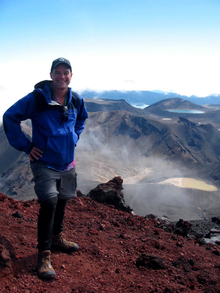
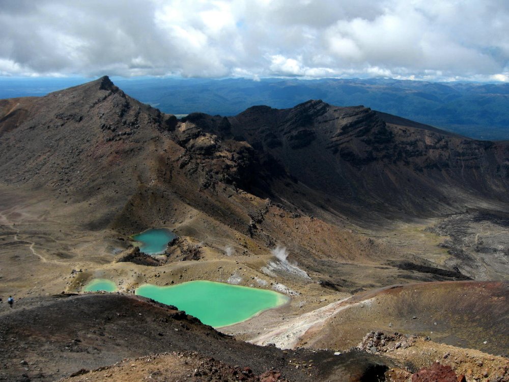
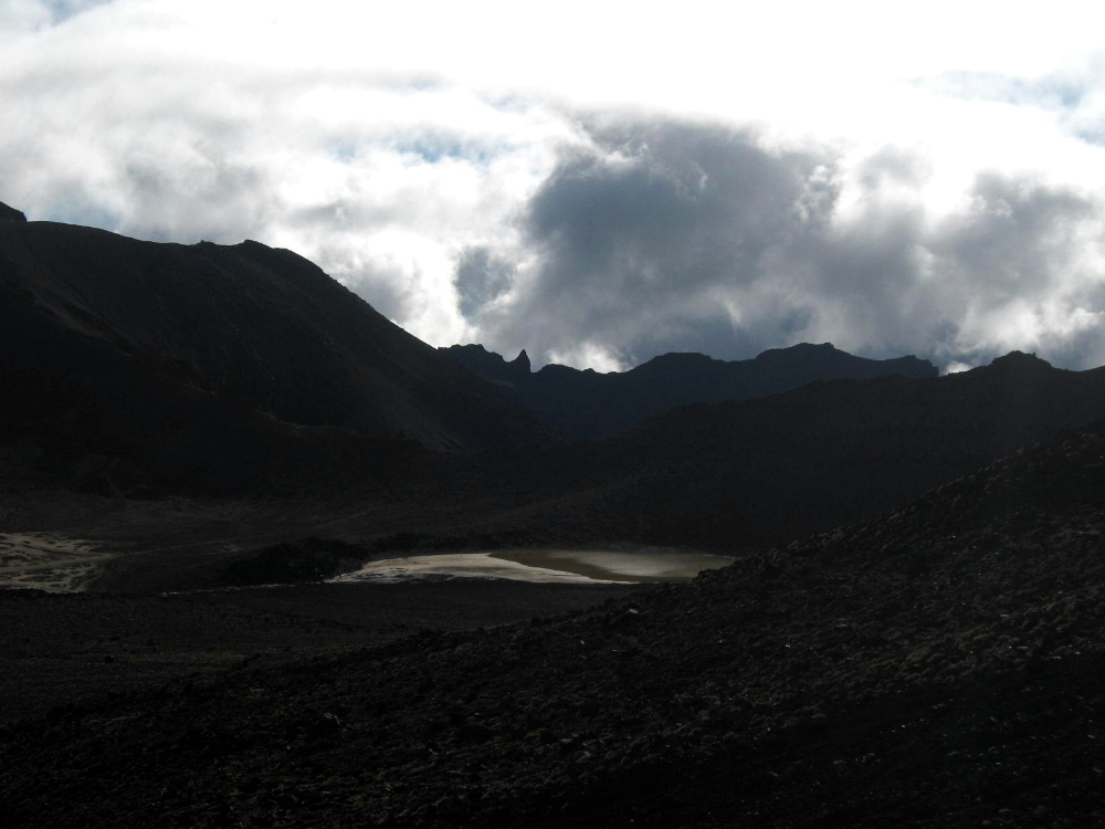
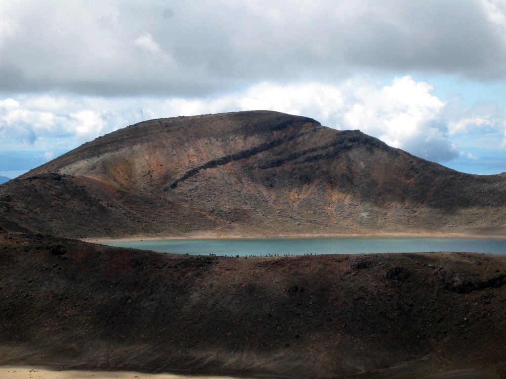
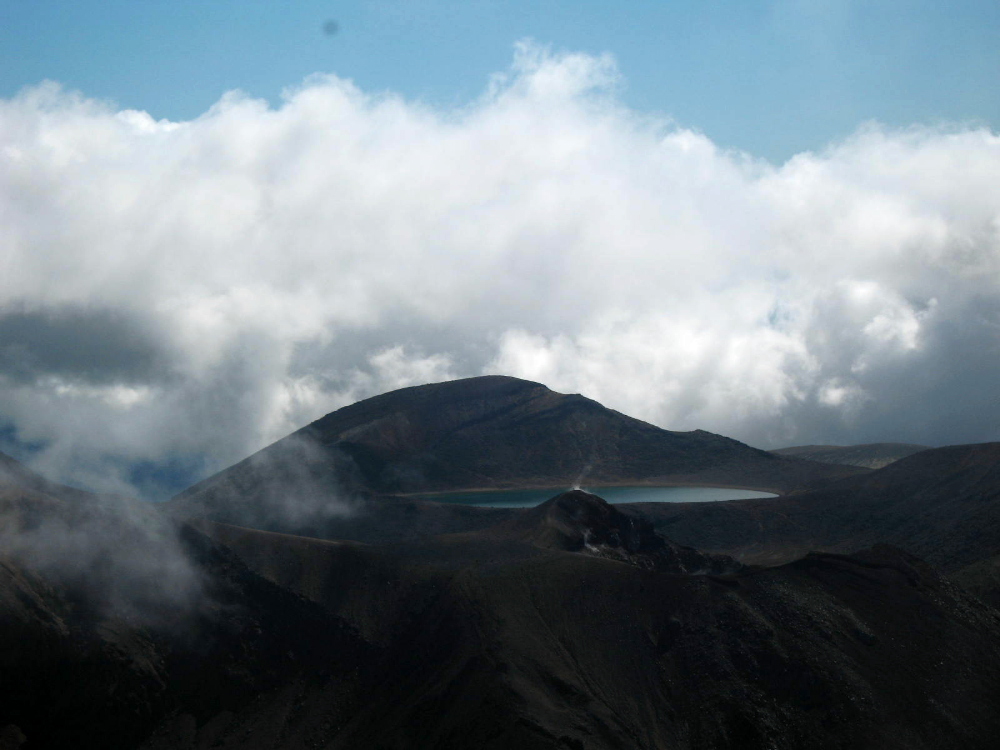
Emerald Lakes. Guess how they got their name? They smell as you might guess.


Look closely and you’ll see a lot of little figures along the trail silhouetted against the lake there: a large group of school kids on start-of-school-year camp, who spent days hiking, mountain biking, rock climbing and rafting around the area. Kids in NZ have a great life, it seems…

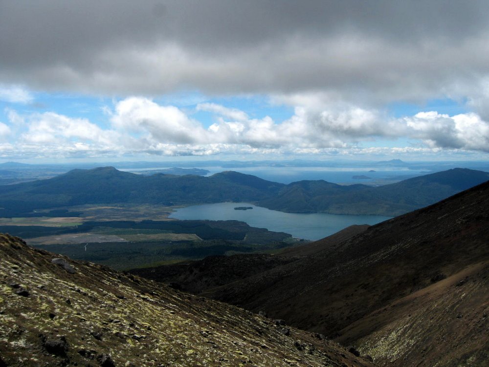
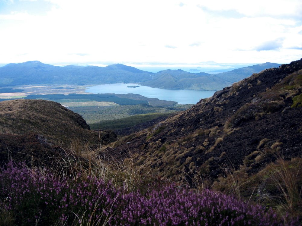
That’s Lake Taupo in the distance, the largest in New Zealand, apparently. No Lake Superior, that; but then NZ is two moderate-sized islands with spectacular variety and scenery, when you get right down to it.


…have you noticed how captivated I was by Ngaurhoe’s cone? It’s my own xx Views of Mt Ngauruhoe ode to Hokusai. But seriously — I found Ngauruhoe as captivating as I find Half Dome — though not the tallest of the three, it ruled my imagination when I was in its range.


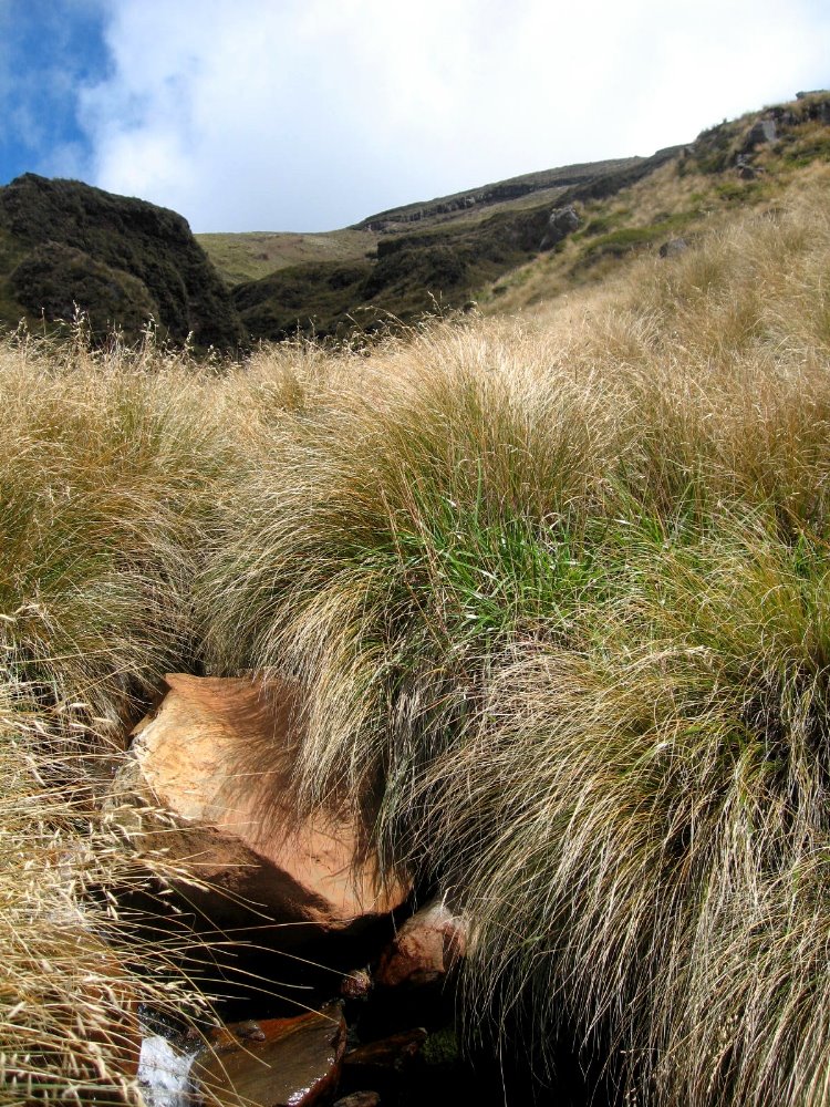
And that would be silica rapids, full of colorful minerals washed out of the stones solidified from the magma belched by Ruapehu, on whose slopes this was shot.


Kepler Track & Fiordland National Park


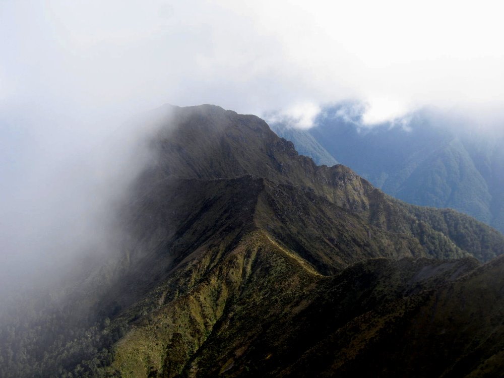
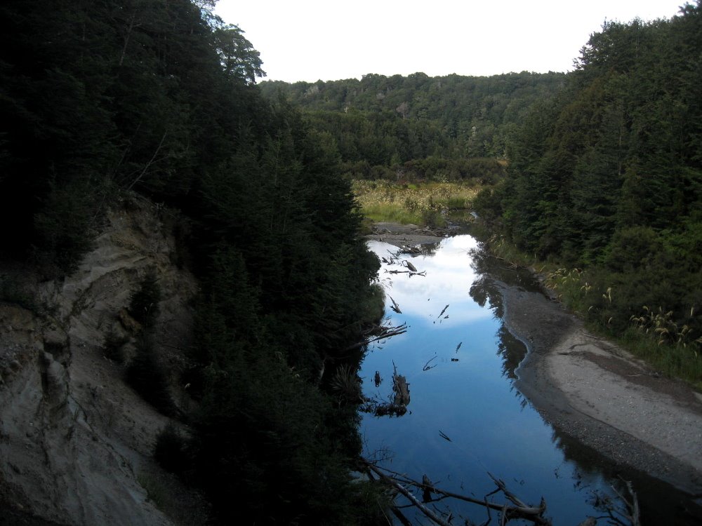
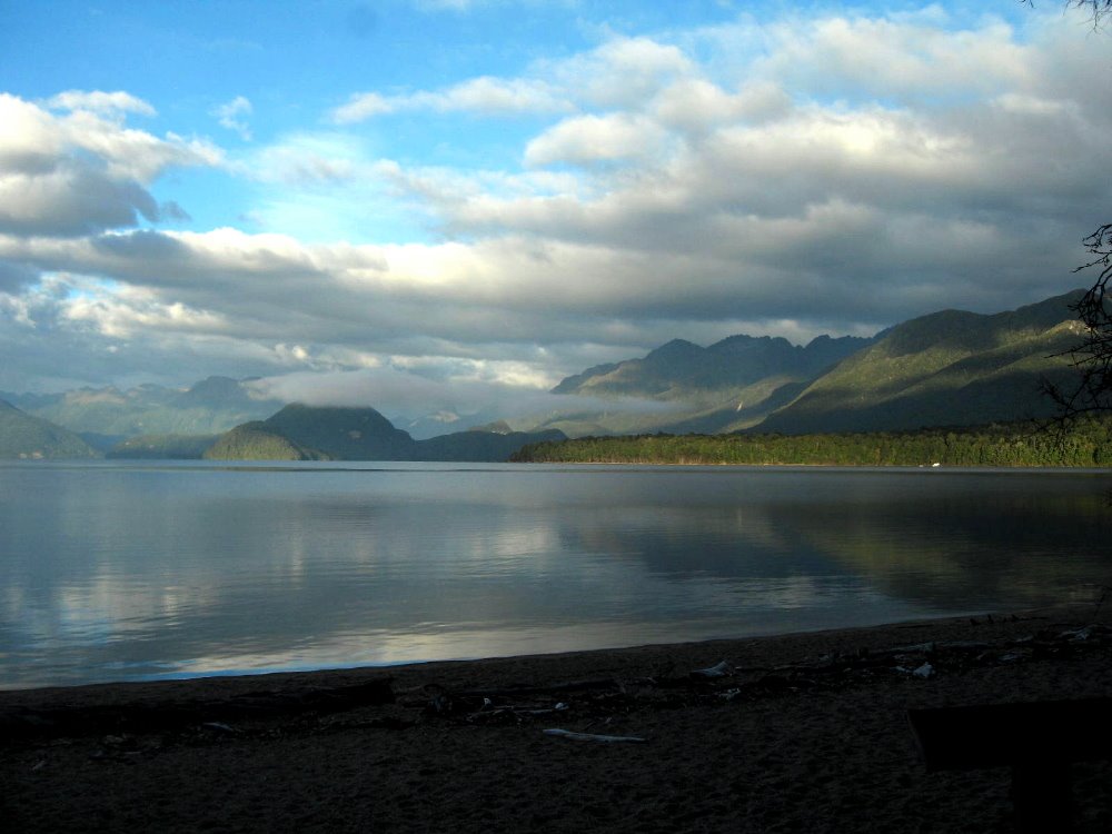
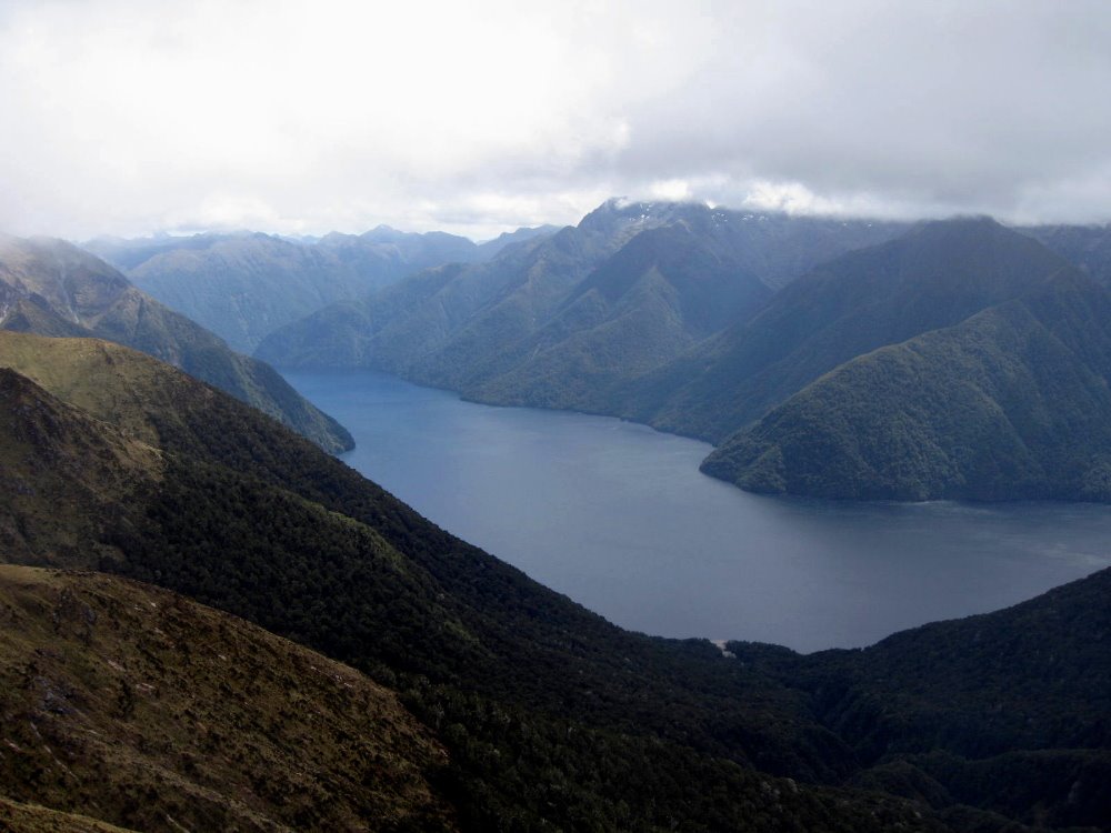
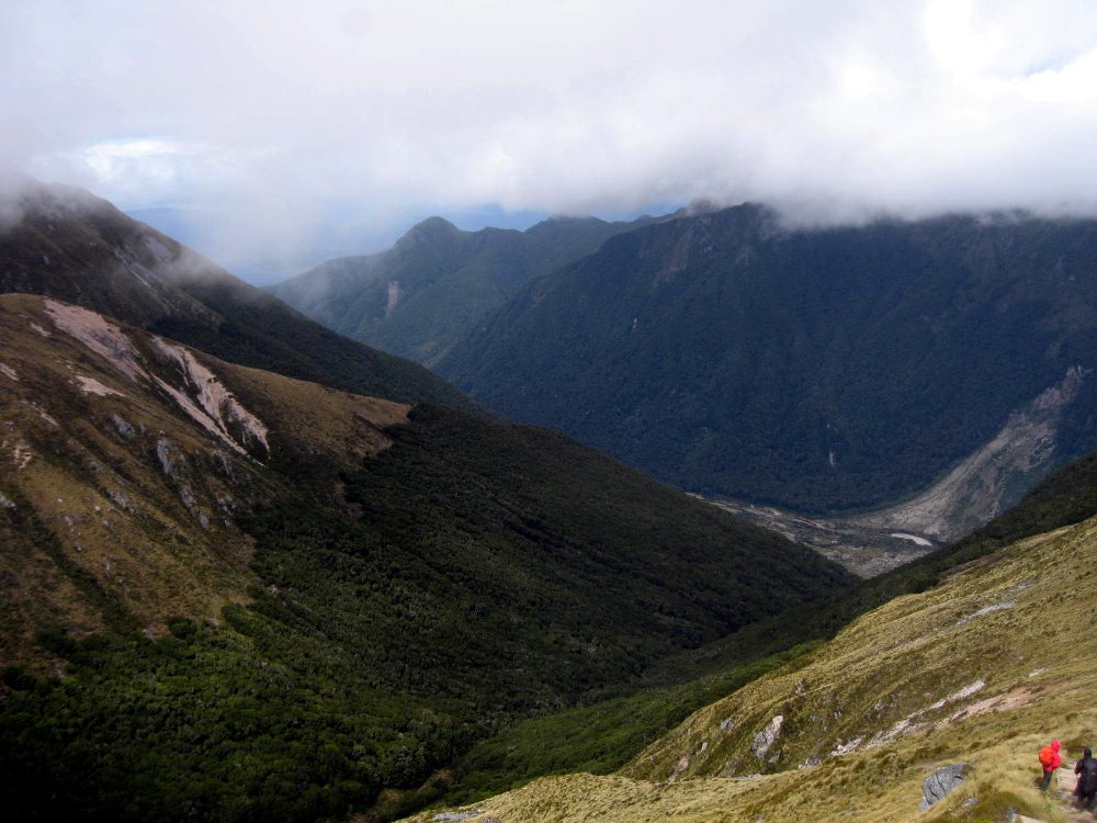
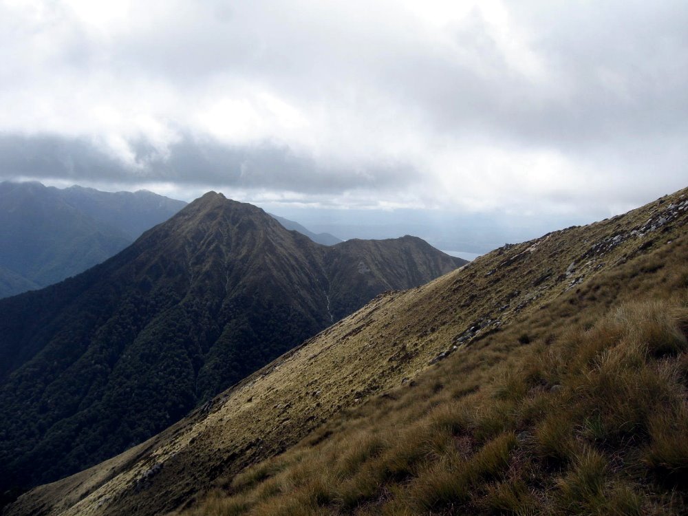
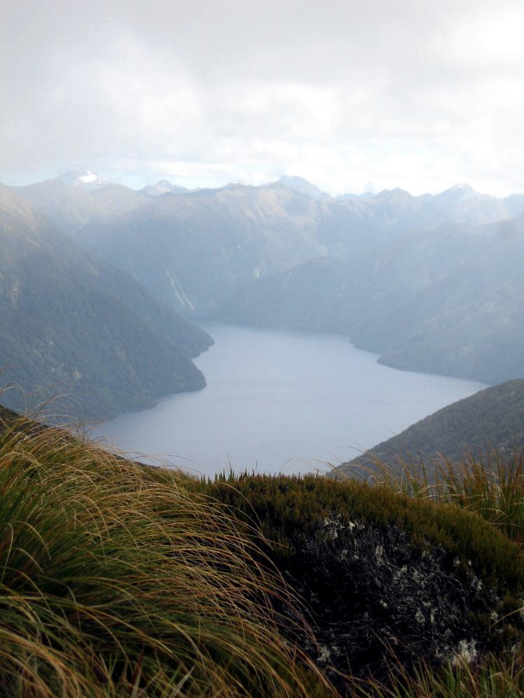
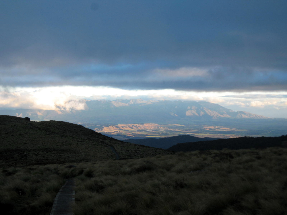
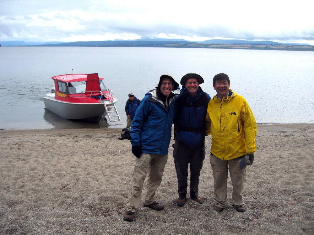
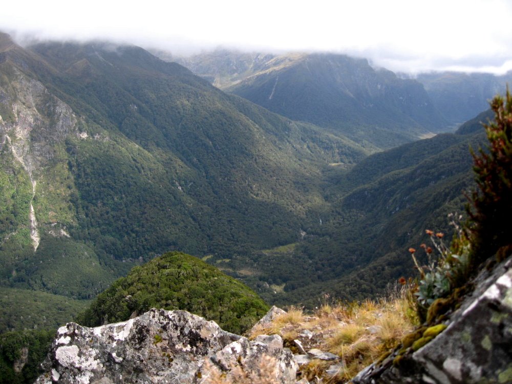
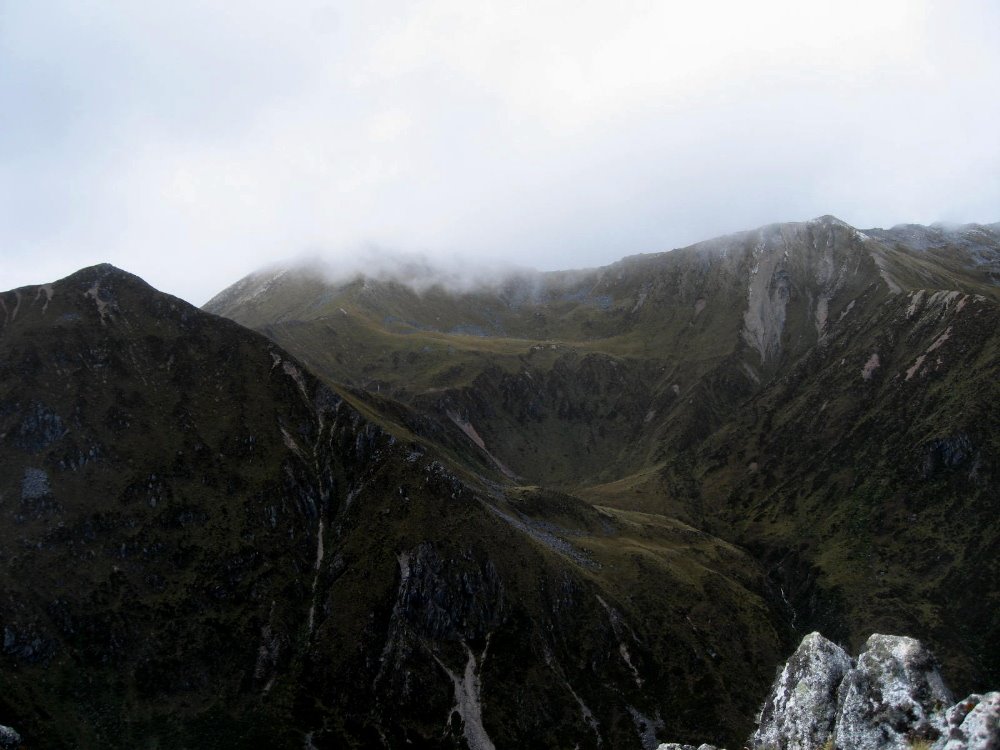
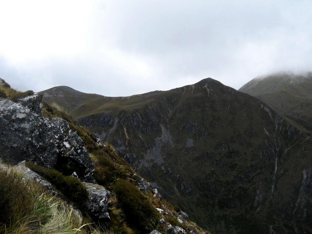
As Tongariro Crossing – and the summit of Ngauruhoe – was the literal and figurative peak of my personal experience in New Zealand, the Kepler Track was the climax of my first two weeks, which were spent with my dearest bestest friends Howard & Gene. This is a four-day, three night trek from hut to hut; in high season the huts have gas burners so you don’t have to carry your stove, just your cooking eqiupment; they have bunks so you just bring your sleeping bag and no tent; and they have – oh luxury – flush toilets! Day two, as we hiked it, is almost all above the tree line, while day one is hiking from the western shore of Lake Te Anau (a long and many-armed mountain lake of classical proportions) up a steady and well-made trail to the higher reaches of Mt Luxmore. Day three is along a verdant river valley, into which one looks at the very end of the alpine section before a steep and many-zigzagged descent; and day four is peaceful and pleasant stroll along the river which connects Lakes Manapouri and Te Anau. Even in clear weather, the alpine section would be otherworldly — much of it is along steep ridgelines with sharp drops on both sides, and if some of this looks like Middle Earth, it’s because various scenes from the LOTR films were shot in this area. For good reason, obviously. It was an extraordinary hike, and the fact that much of our alpine crossing was made in snow and ice, in high summer, made it even more extraordinary.


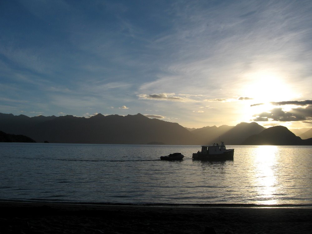
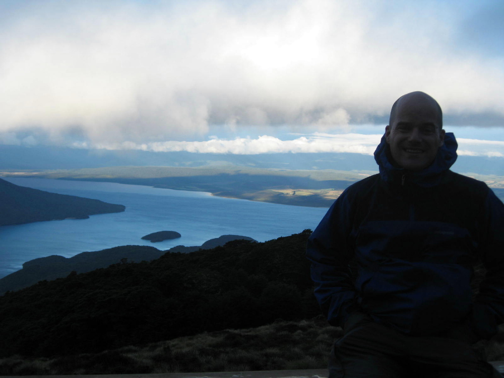
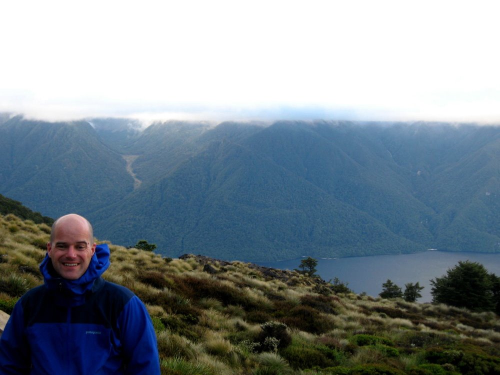
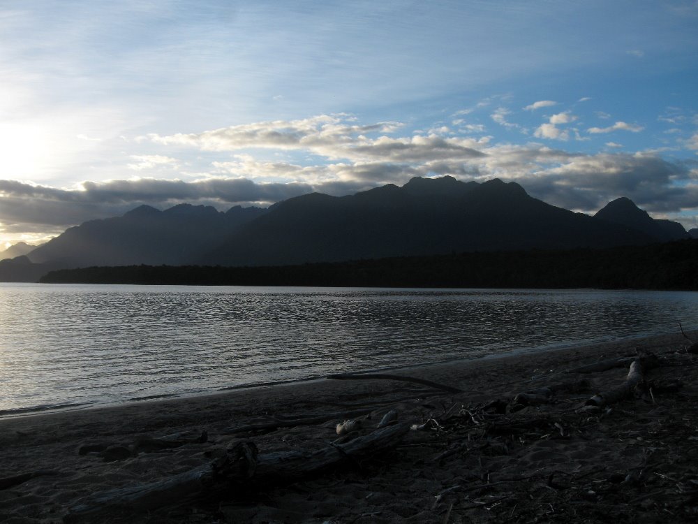
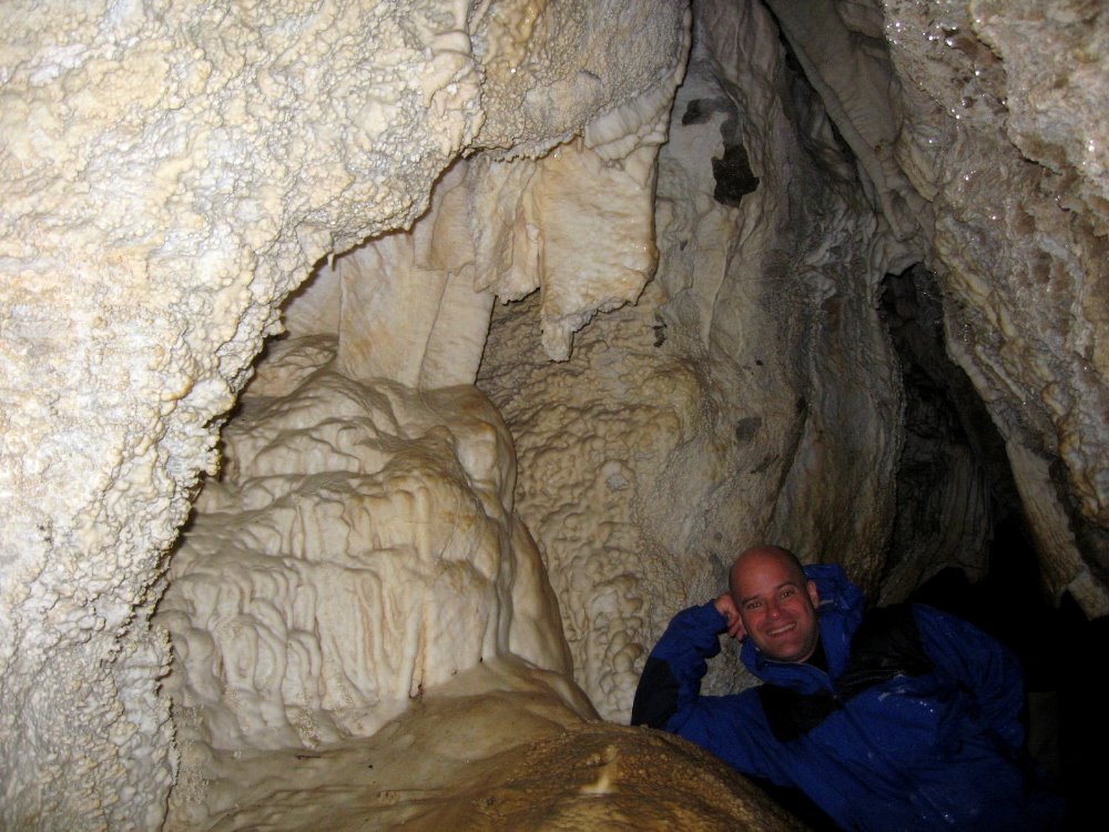
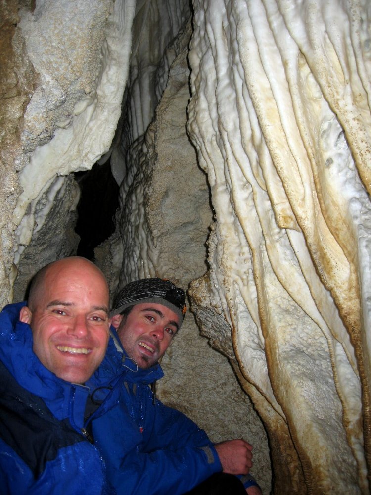
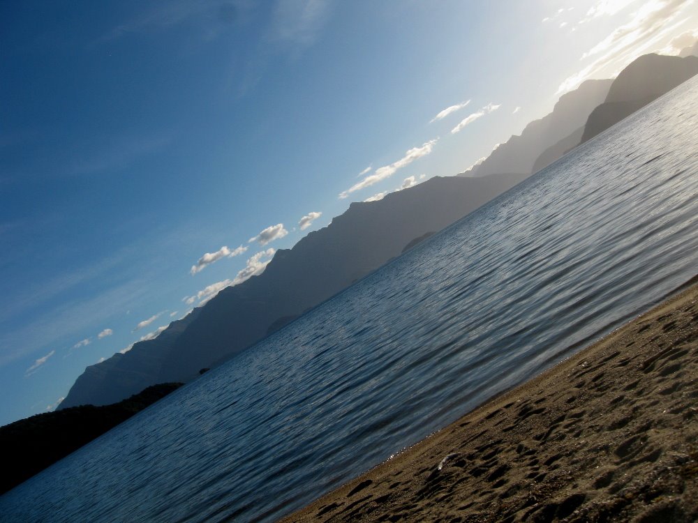
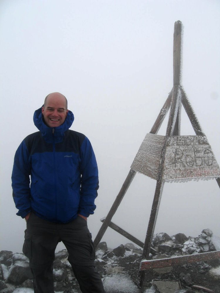
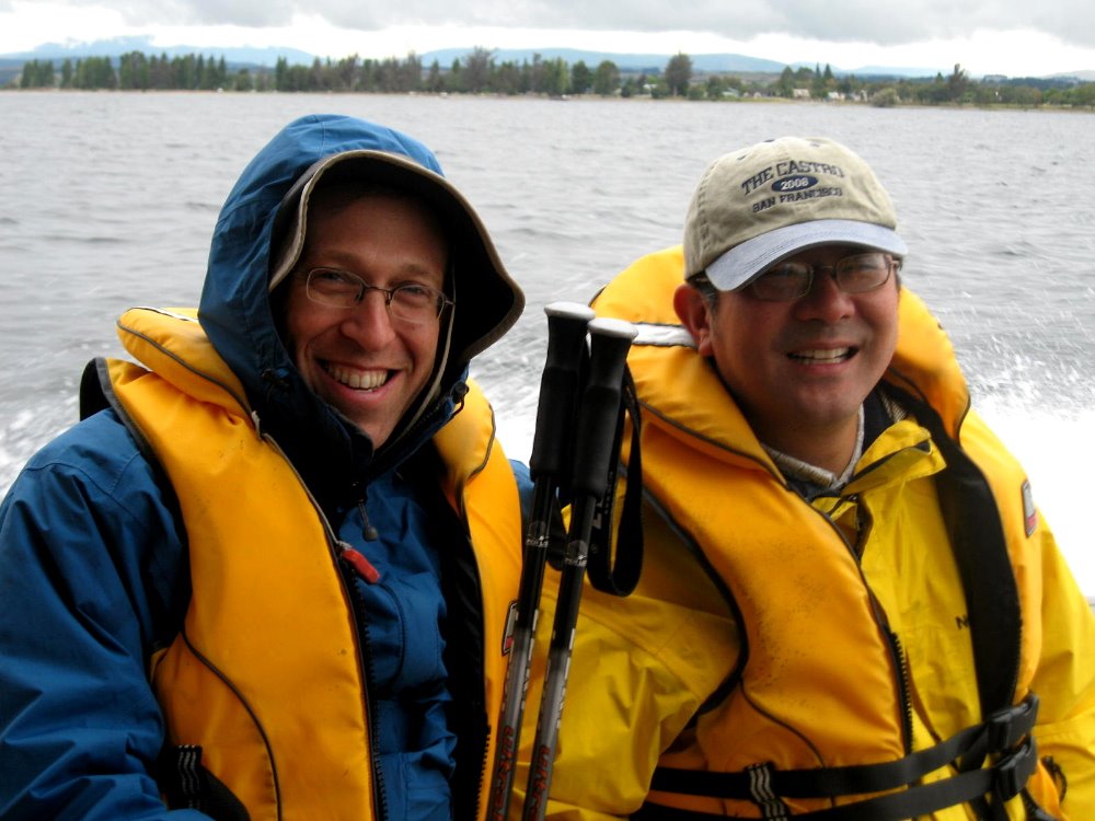
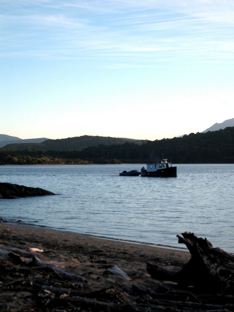
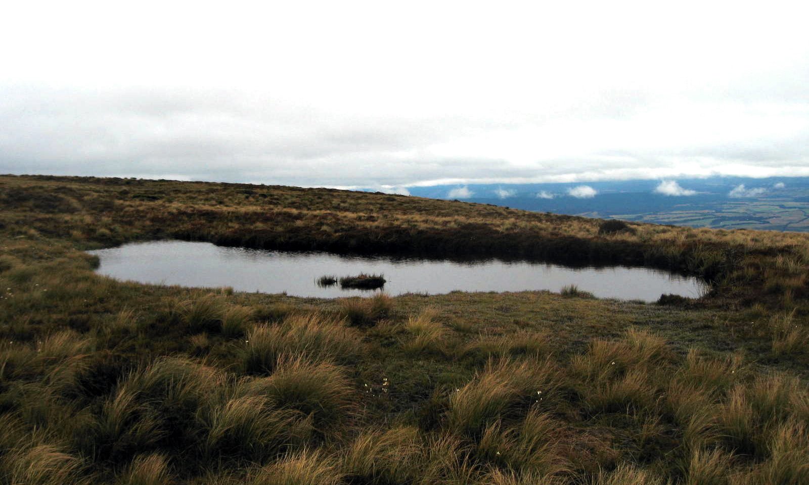
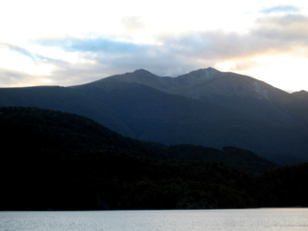
A ridge or two down from the summit of Mt Luxmore — which is only at about 1500m or so, not really that high, but it’s well above the tree line at this southern latitude — is a large system of caves which we explored along with two nice guys we met in the hut, Jamie (aka Luther, with me above, a mighty fine bass player also I might add) and Bob. The Luxmore Hut is situated on a ridge above the tree line, surrounded by small alpine ponds and stunning views over the lake and the Murchison Range to the north. I’m nearly certain this shot below captures the ridge on which Luxmore Hut sits, if you look at the tallest notch (that being summit of Mt Luxmore, where I’m photographed in snowy fog a few shots down) and just come down a bit. I took it from a boat on the lake the night after I finshed the track.


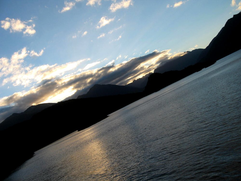
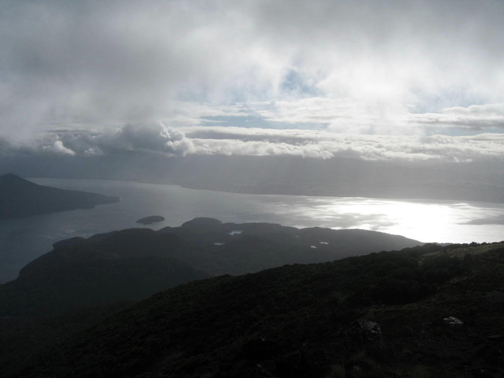
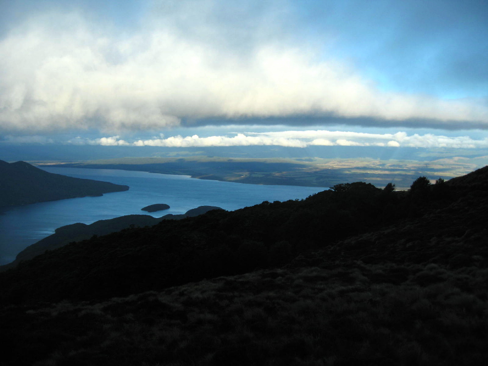
Above and below, clearly the same view (south arm meets main body of Lake Te Anau, looking across from Mt Luxmore toward the Te Anau town side) and shot almost the same time but with very different fog or cloud cover, when Howard & I took a break from our card game with some of the folks at the hut to check out the apparent break in the clouds and nice sunset views. Throughout the day and a half or so of alpine (above tree line) crossing on this track, we’d have periods where dense clouds and fogs or snows would suddenly part to allow a glorious glimpse of just amazingly beautiful vistas on all sides…and we’d all rush our cameras out, knowing that soon it would be fogged over like the shot of me at the summit of Mt Luxmore, a few down from here.


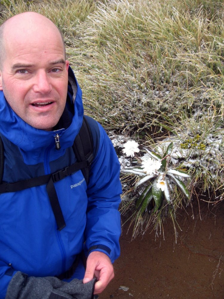
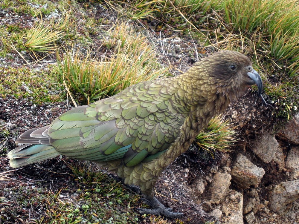
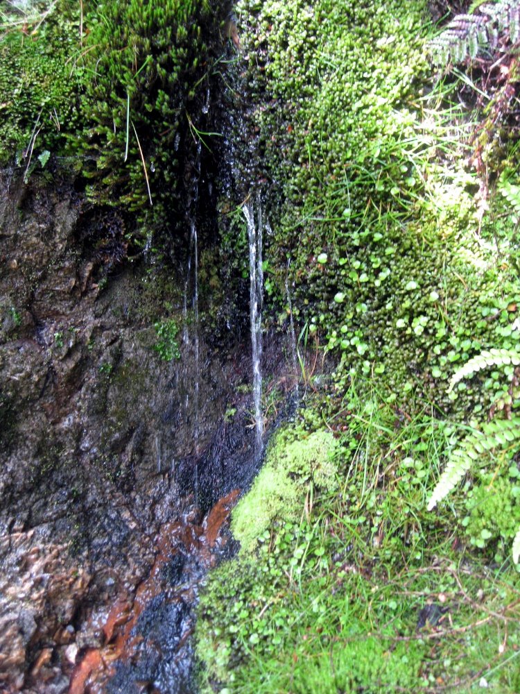
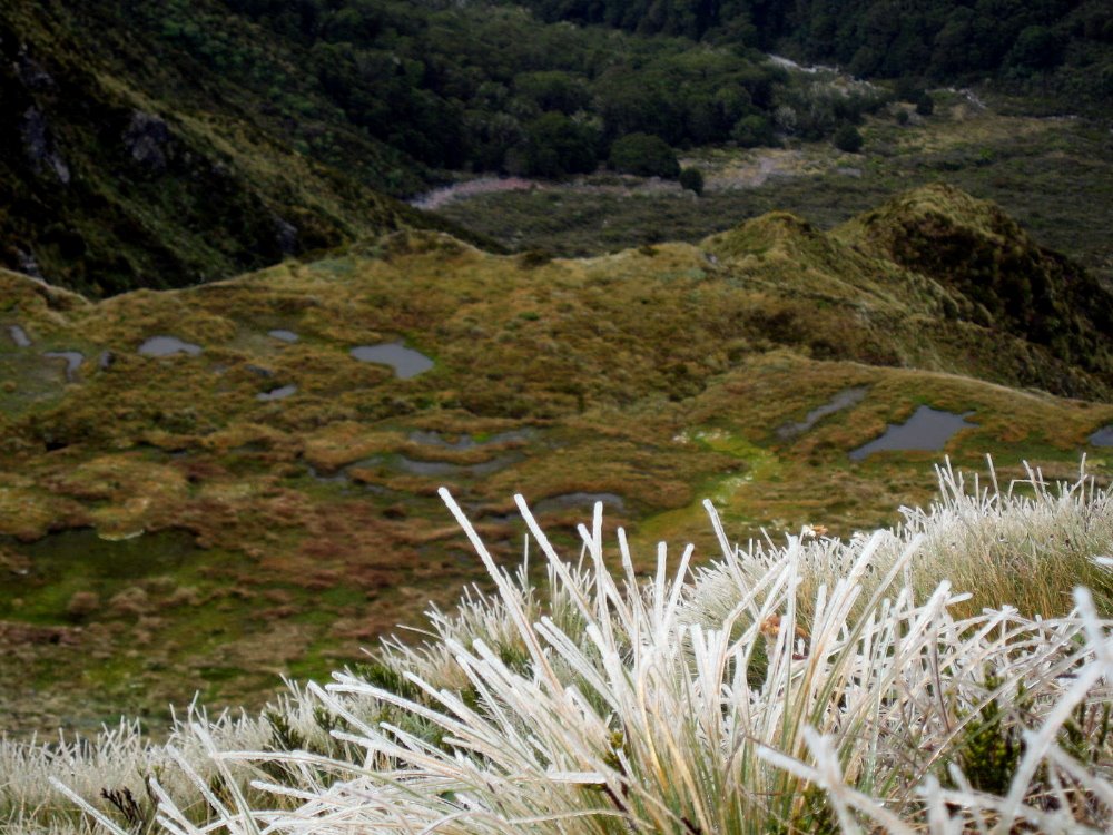
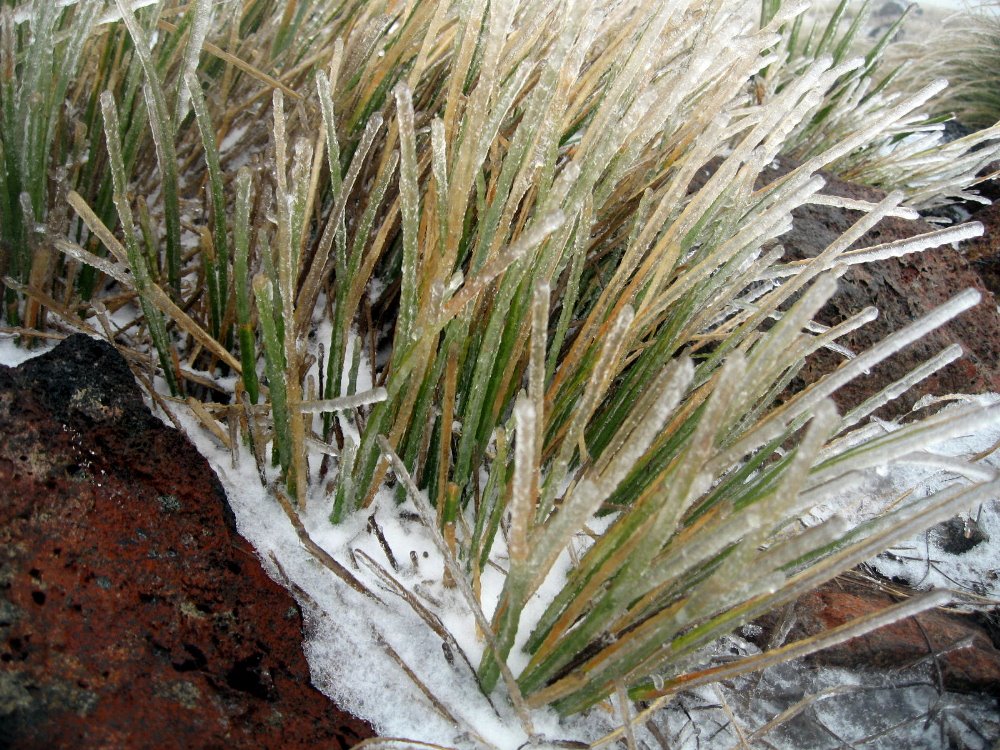
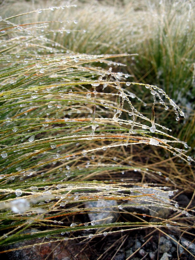
As you’ve seen, this track includes strolls through lovely verdant valleys and clambers along dramatic alpine ridgelines with sharp, breathtaking drops on either side. Since it’s quite far south and in an area of rapidly changing weather, small changes in exposure (the south face is the colder, darker side down here) or elevation can lead to radical changes in vegetation and micro-climate. Below, a small green mossy trickle on a hillside barely a hundred meters below the treeless alpine zone that, when I crossed it, was characterized by icy plants — and yes, these shots were taken within less than an hour of each other but at different elevations. That bird up there is one of the world’s few alpine parrots, the Kea: NOT people-shy and rather mischief-prone if one’s careless enough to leave a backpack lying around; and as you can imagine that beak is sharp. Mercifully I only heard stories and didn’t directly experience a Kea raid on my own pack.


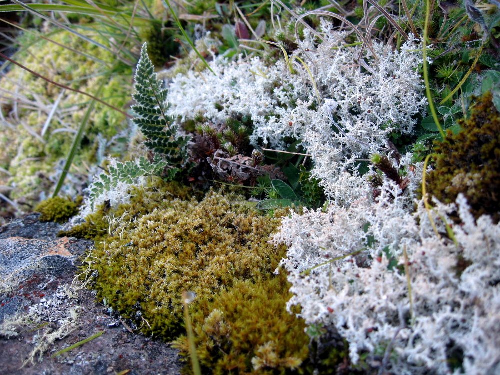
…the number of different mosses found in fiordland staggers the imagination. I heard the number — was it many dozen, or many hundred, I just can’t remember; but I do know they’re all mighty beautiful to look at and enjoy, and I’m sure they’re very enviornmentally beneficial.


Definitely Doubtful Sound

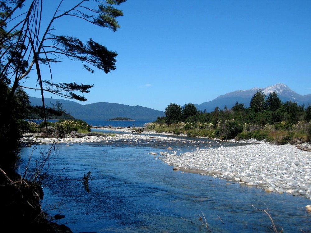
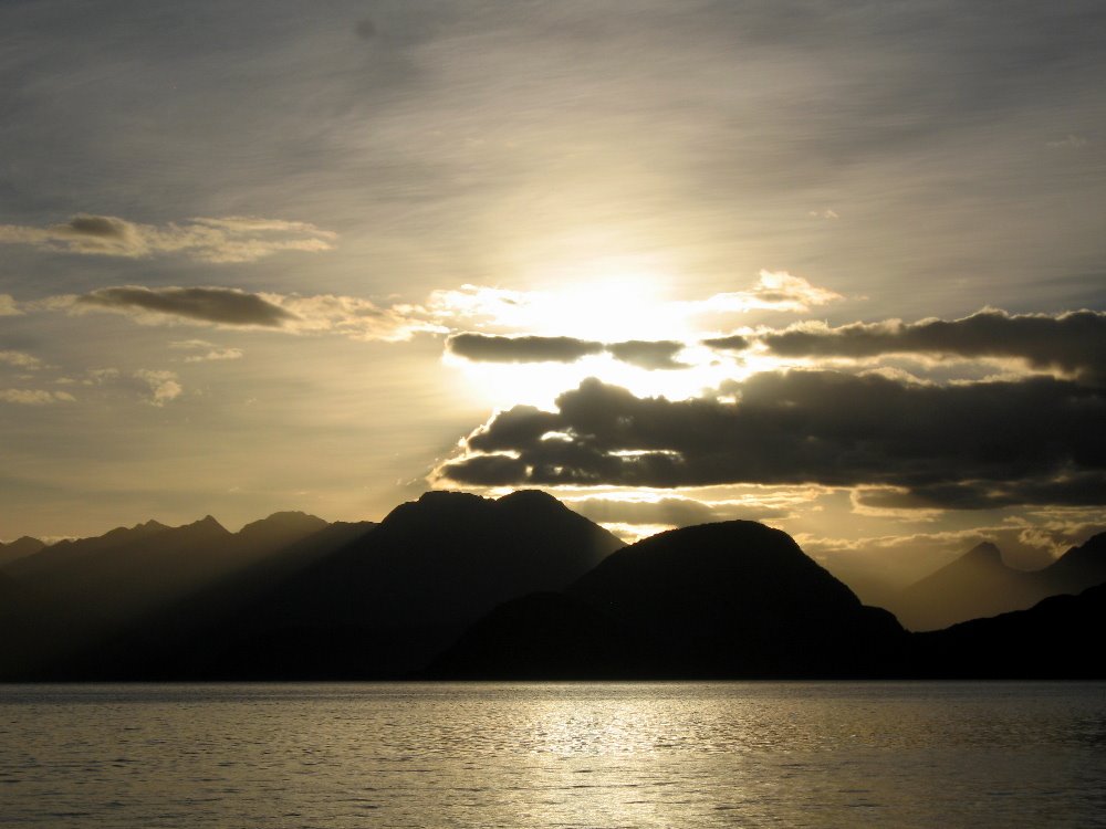
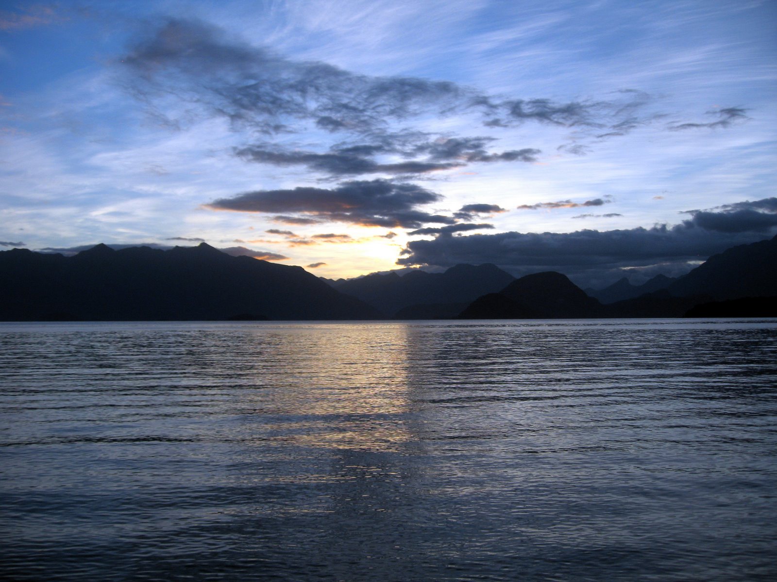
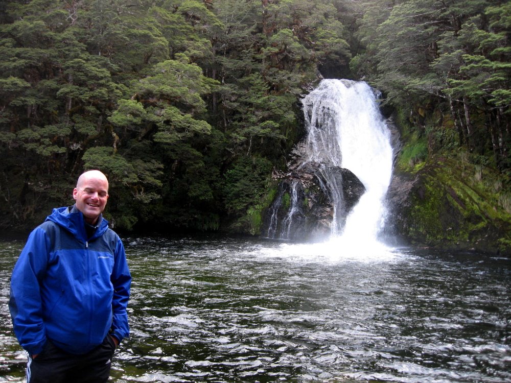
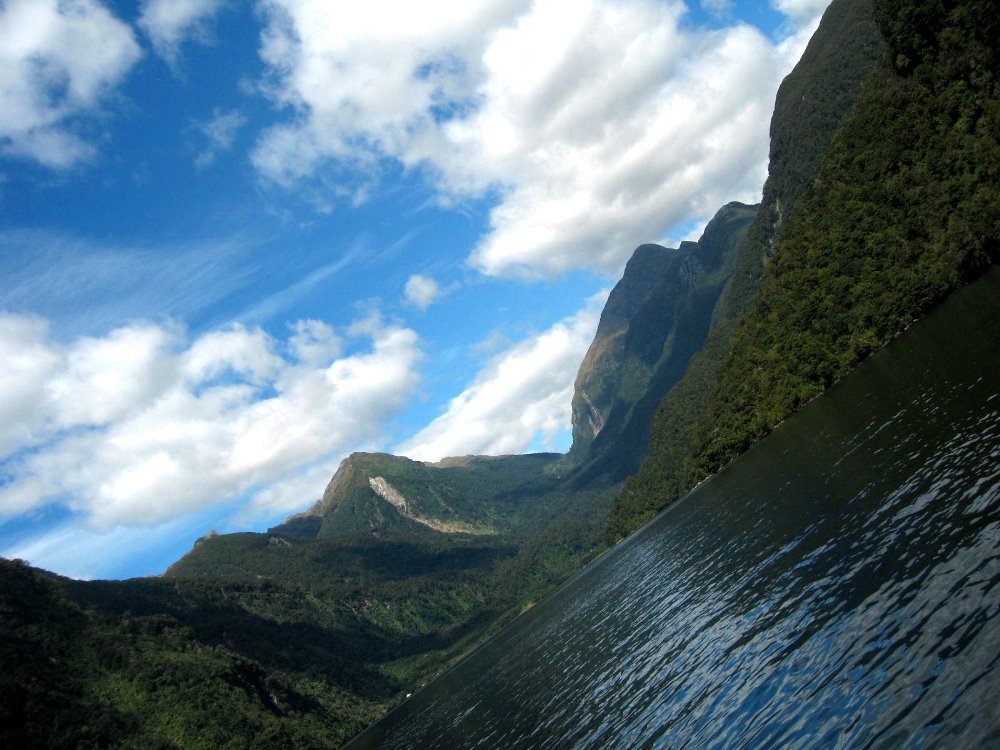
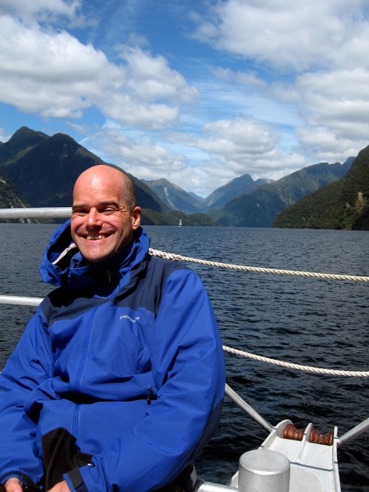
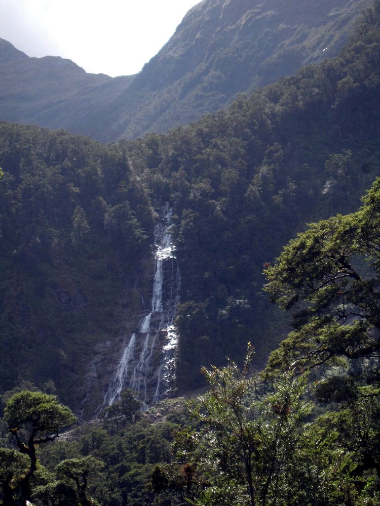
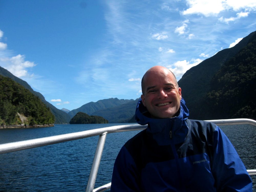
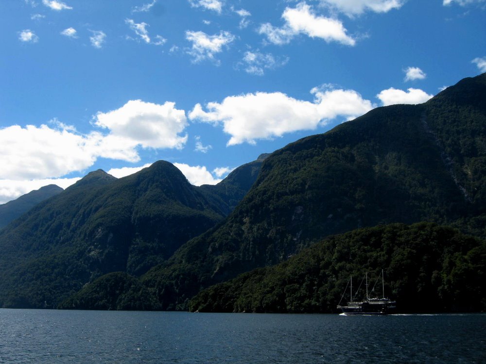
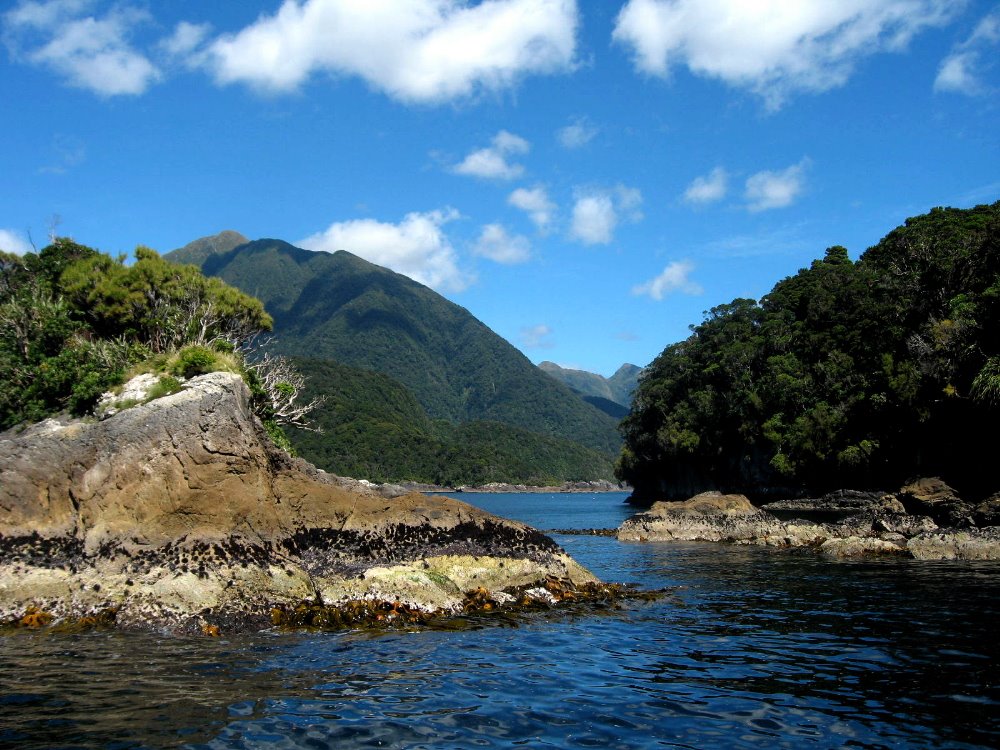
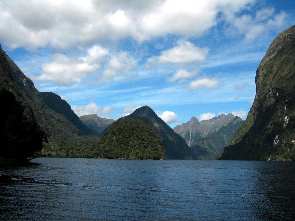
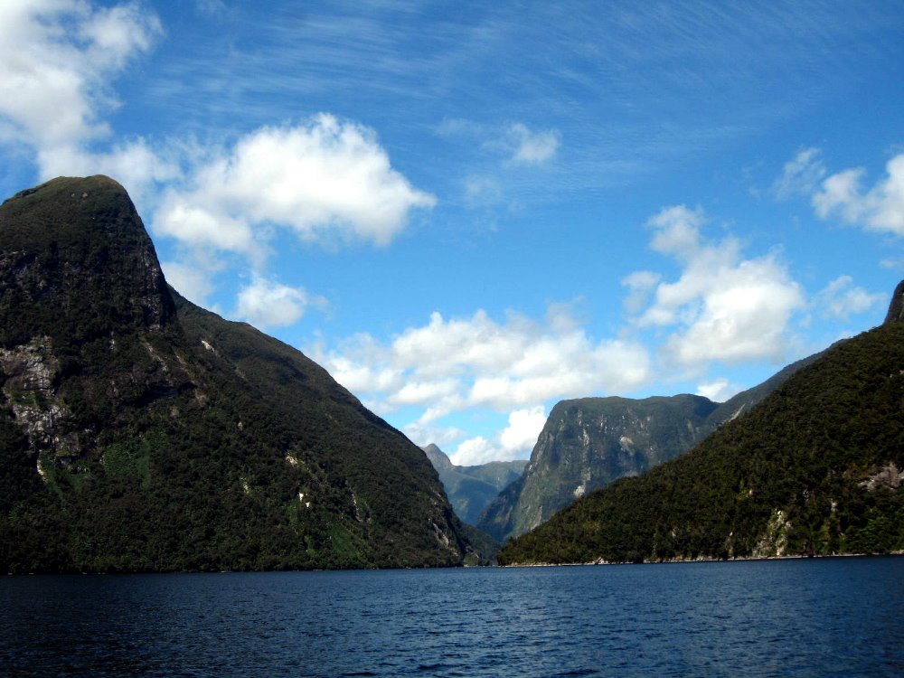
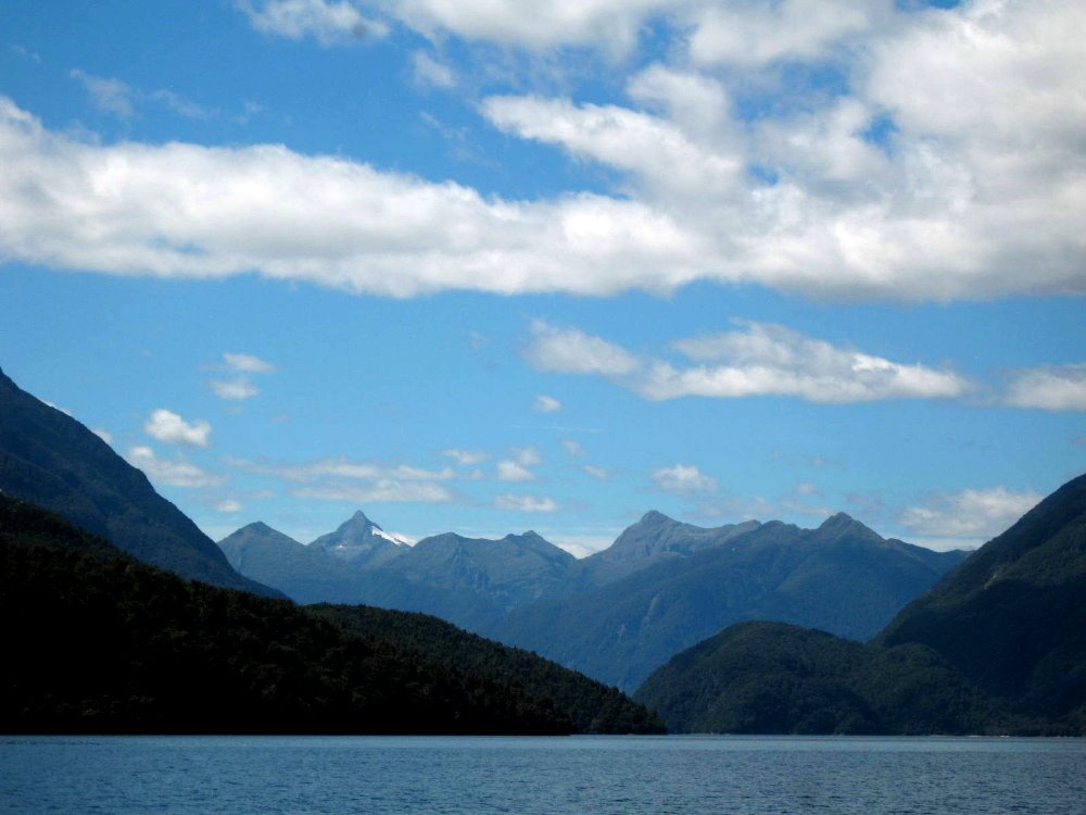
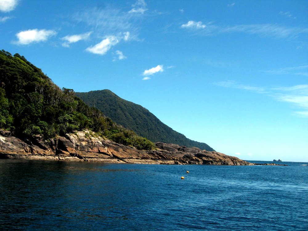
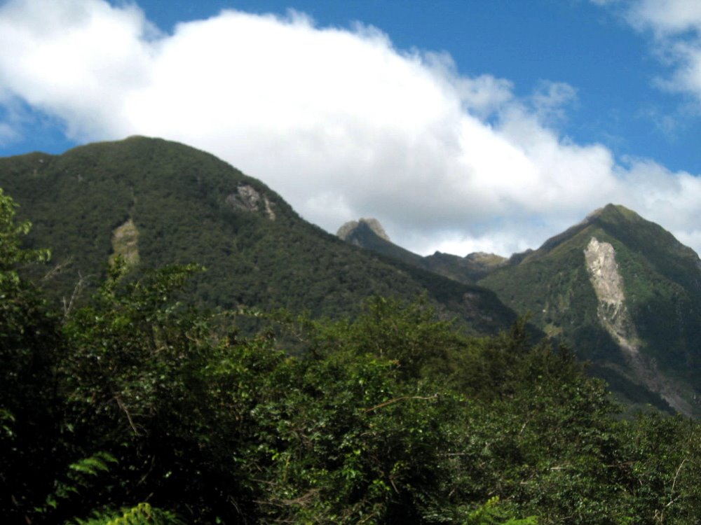
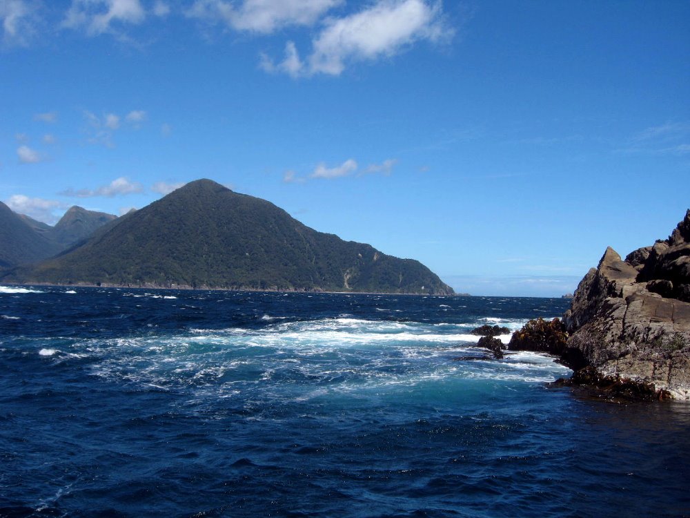
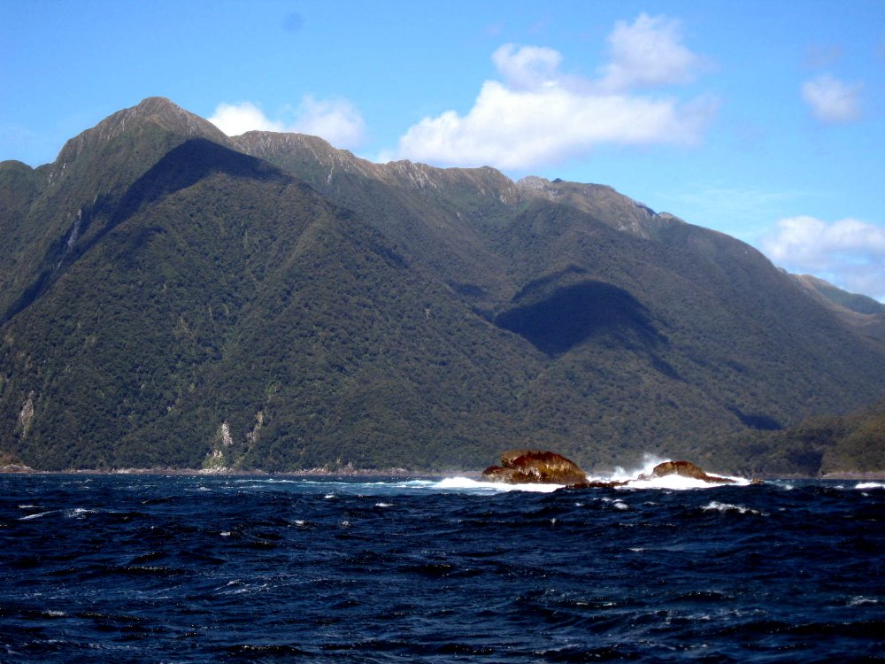
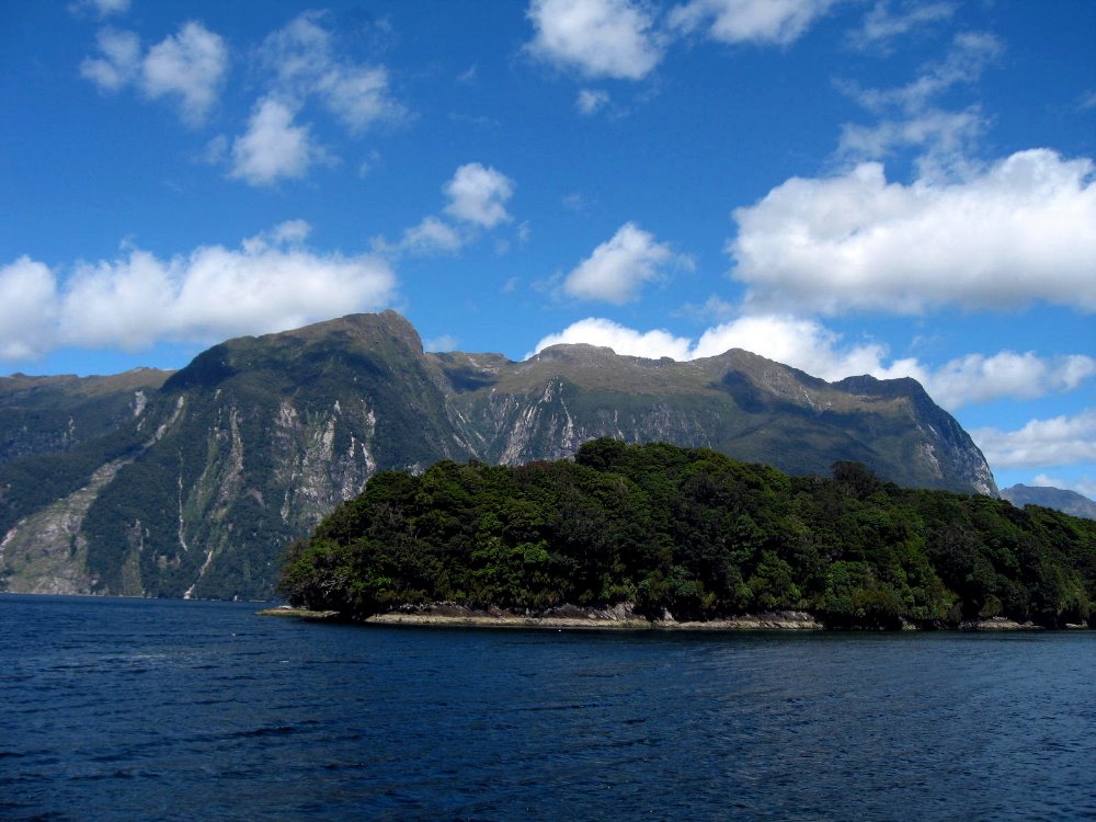
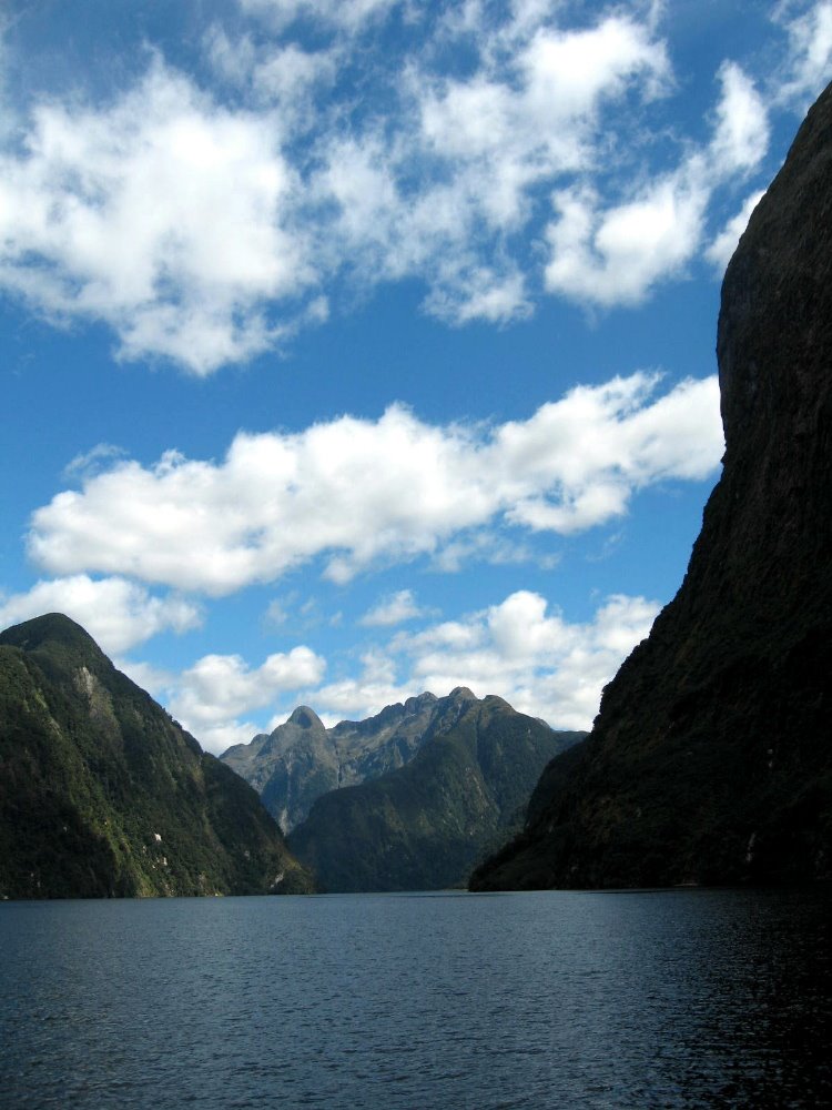
Doubtful Sound is so named because James Cook, when he first encountered it, doubted he could navigate his ship both in and out safely, past the swells and rocks at the ocean entrance to this very long and stunning fiord. (Our guide said that technically a sound is one thing, but this is a fiord, which is another thing, only when they named it the English language hadn’t yet adopted the term fiord.) Above, you see the inland-most end of the Sound, called Deep Cove, from Wilmot Pass; and you see Wilmot Pass from the Sound. East of Wimot pass is the west arm of Lake Manapouri, which you’ve already seen in my shots taken on the easternmost bay of Lake Manapouri, where the last night’s hut of the Kepler Track was located. I thought that was remote — and it was. But Doubtful Sound is across that lake, up and over a 4WD-0nly, unsealed (that means dirt, to Americans) road and back down to this awfully beatiful and very remote corner of the world. There is so much rain in this area (the figures boggled my mind: Te Anau sees something like 2, 3 or 4 meters a year [yes, they measure in meters! not centimeters], while this west side of the mountains can easily see NINE meters in a year!), running off all these incredibly steep mountains and down to the sound; and the sound, though definitely tidal and connected to the Tasman Sea, is protected enough by its narrow entrance from the churning tides of the open ocean, that the entire sound is covered, full time, by a deep layer of actually FRESH water — a meter or more, which – being lighter than salt water – floats above the surface of the sea water below it. The Sound is very deep so there’s tons of salt water there, but the surface is all fresh, it seems, and ocean animals often come in here to clean off since apparently fresh water is cleaner than saltwater, and helps kill things like barnacles. But I’m no marine biologist, I’m just reporting what I heard, and it all stuck me as new and fascinating.


In the fiordland area, with all that rain, one has occasional tree-slides: when the thin ground cover gets so wet it just all slides down those steep slopes, leaving the solid rock face exposed, as above.
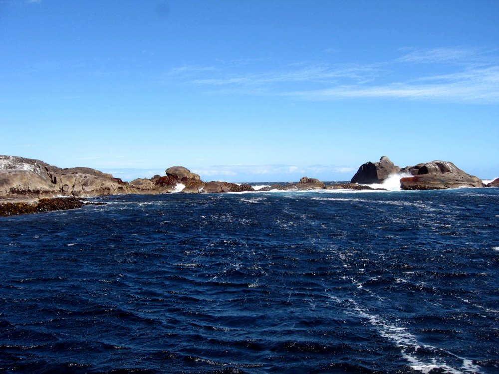
For many kilometers our cruise was very calm – until we got very close to the sea opening from the sound. There, the waves were pretty dramatic and reminded us how protected most of the fiord is.


Kaikoura Coast Track

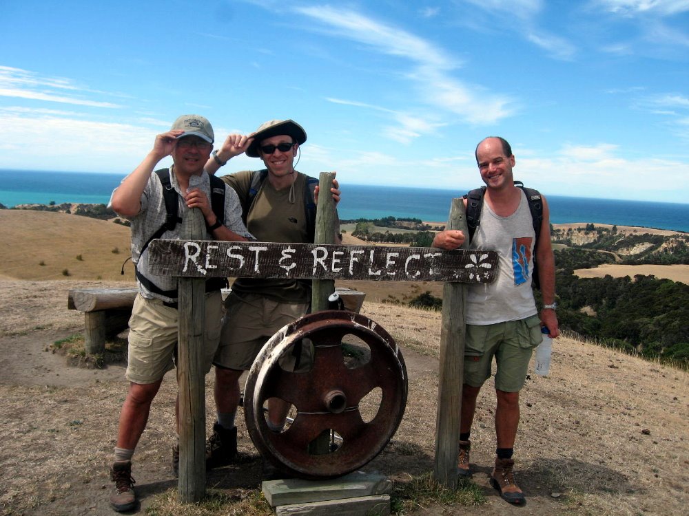
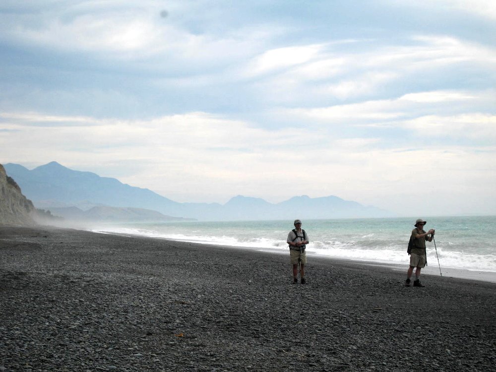
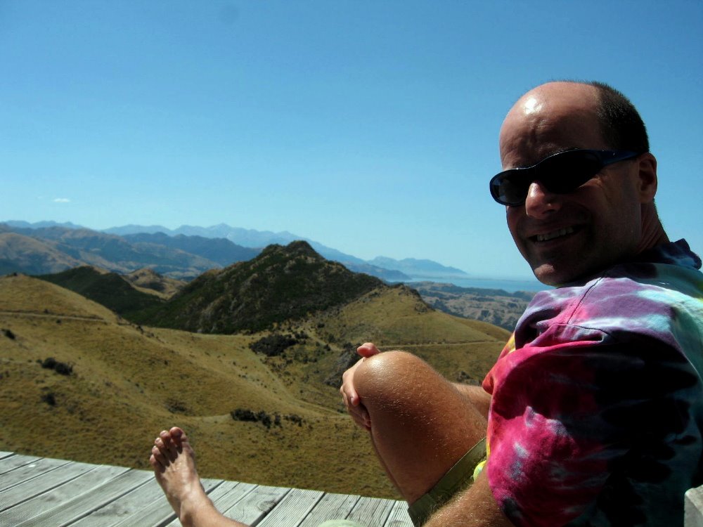
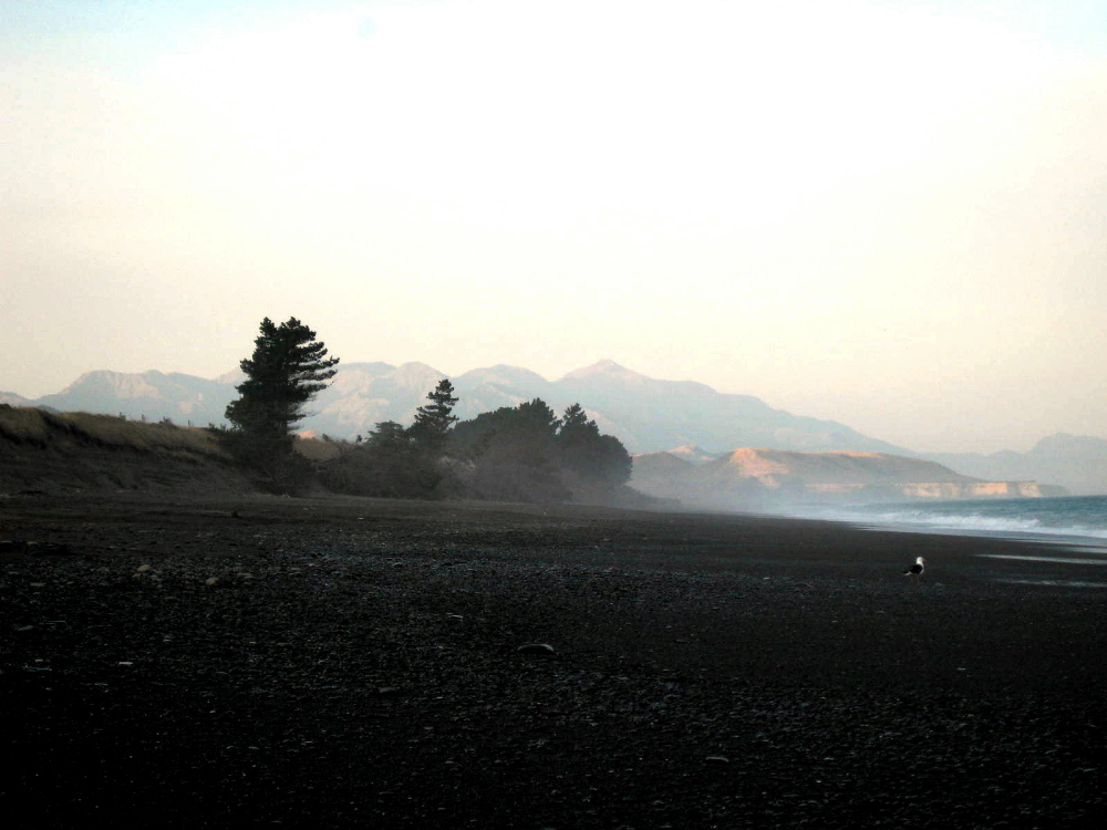
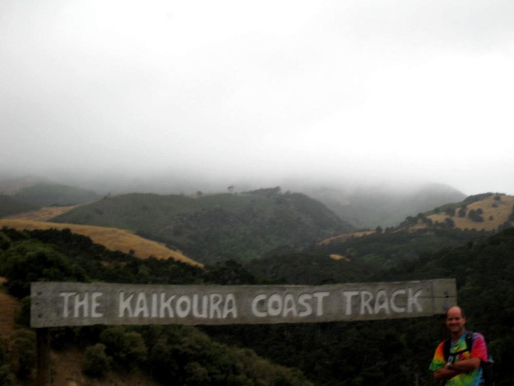
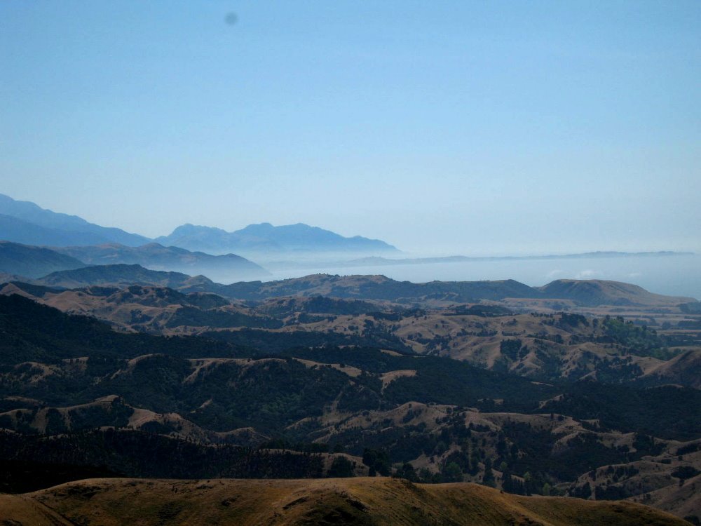
The first big hike Gene, Howard & I did was the Kaikoura Coast Track, a three-day walk through gorgeous coastal forests, hills and beaches just south of the Kaikoura Peninsula and Kaikoura Coastal Range (the highest of the mountains, just above, to the right of which extends a little finger into the ocean, the peninsula). When asked, later on, what our best experiences so far in NZ had been, all of us agreed that our break in the rest-stop house on the first day’s hike (which included a stunning range of settings from deep forest, to steep hills and coastal fields), with some of these amazing and clear views of the moutains, coast, and peninsula, was one of the abslute peaks. We spent three hours drinking tea, reading, and napping with these views before continuing on to our evening’s lodging.
Our final day was foggy and misty. This is Gene, ready after a cuppa for the final stretch on day three.


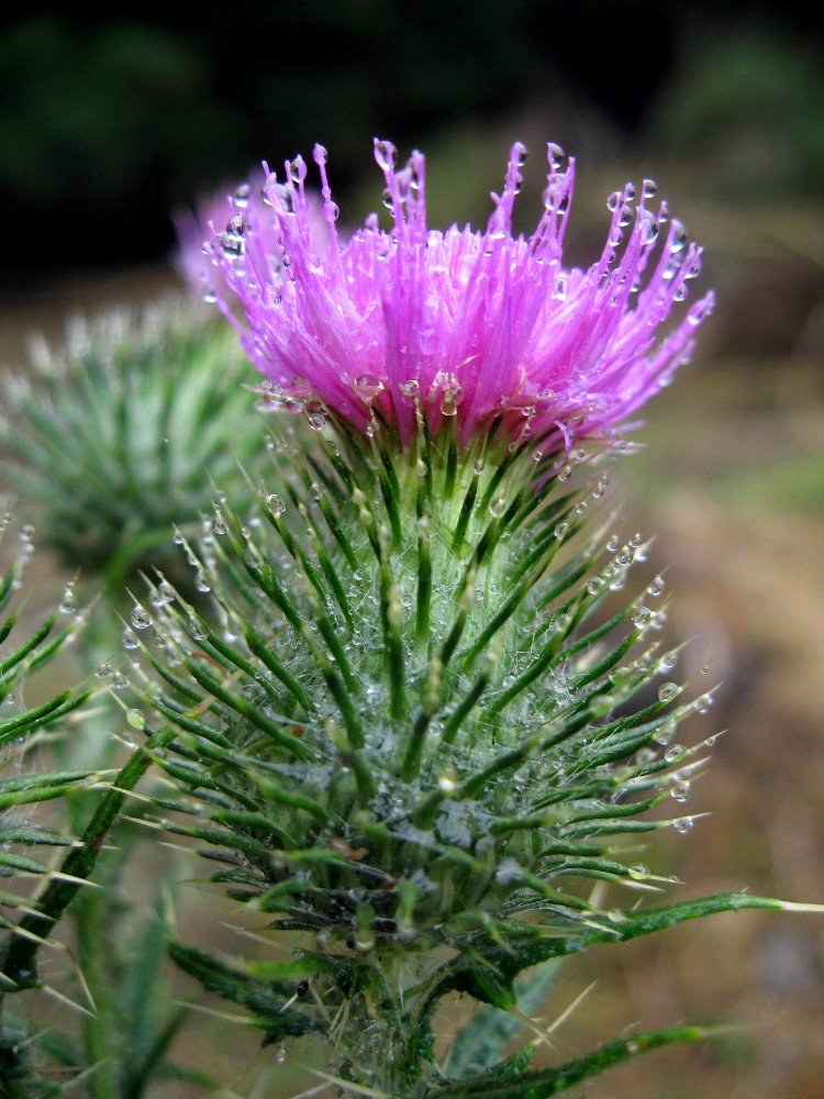
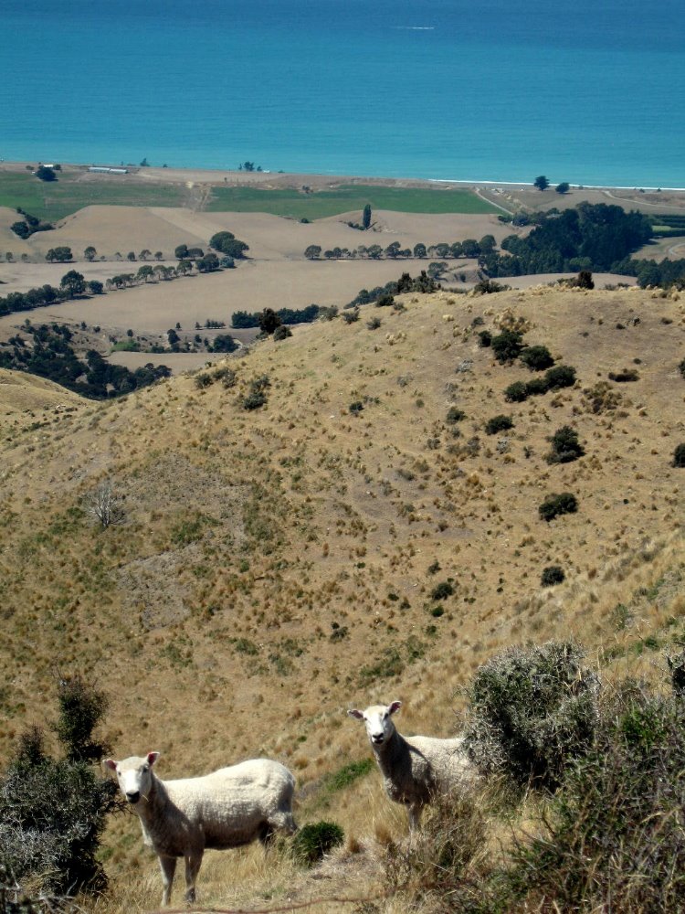
What trip through New Zealand farming country is complete without curious sheep poking their heads out? Although thistles aren’t, I think, native to New Zealand, I couldn’t help appreciating how the dew clung to their many spines and petals on the wettest of our mornings on the track.


Stewart Island – Rakiura

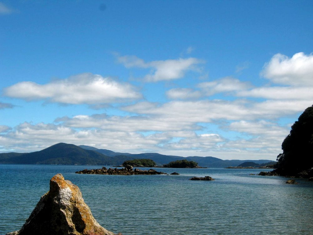
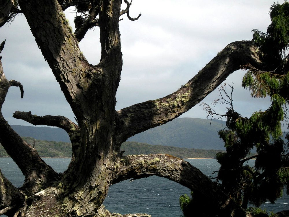
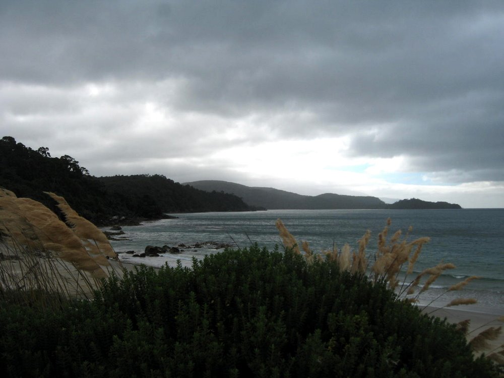
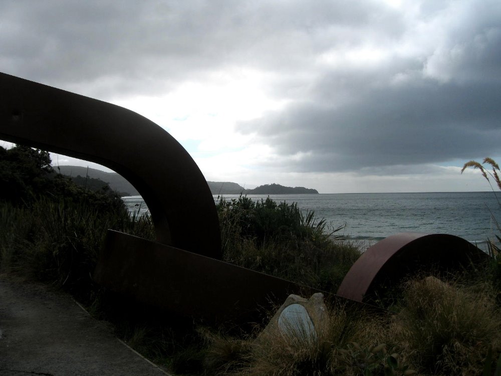
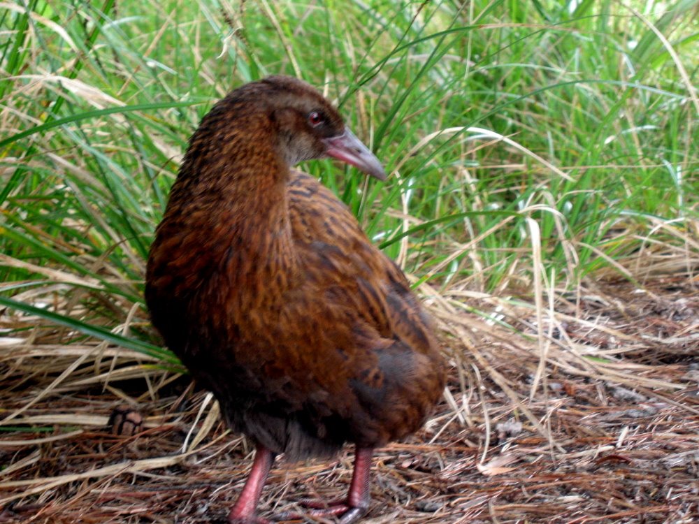
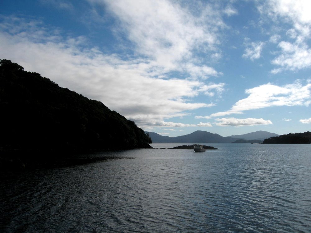
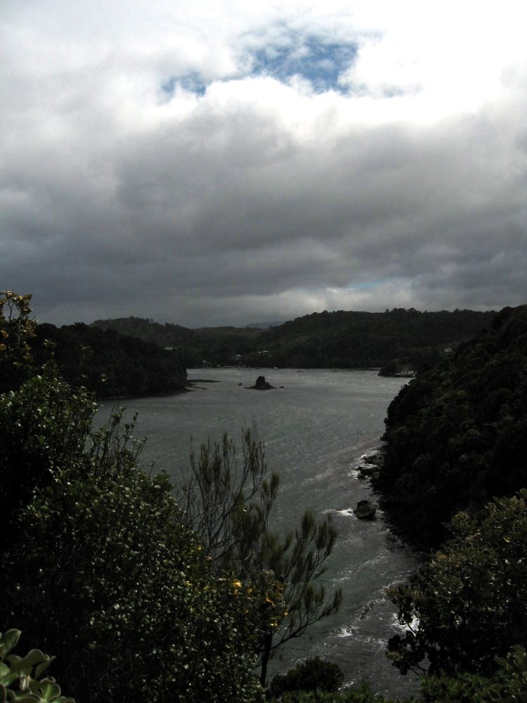
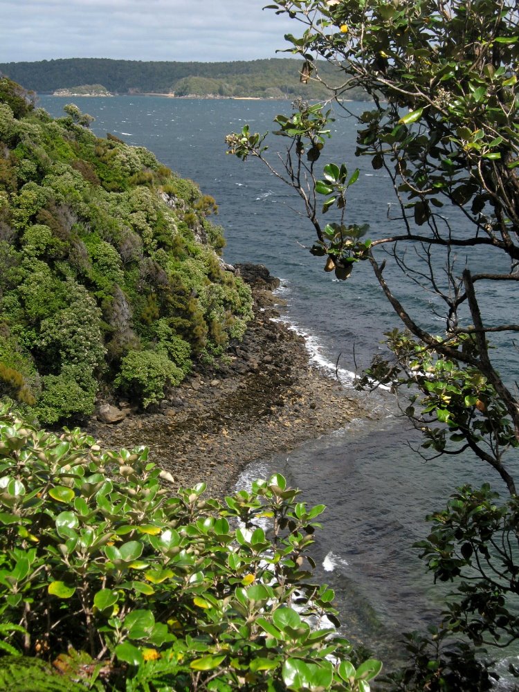
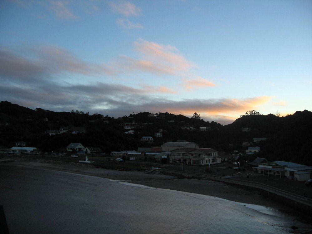
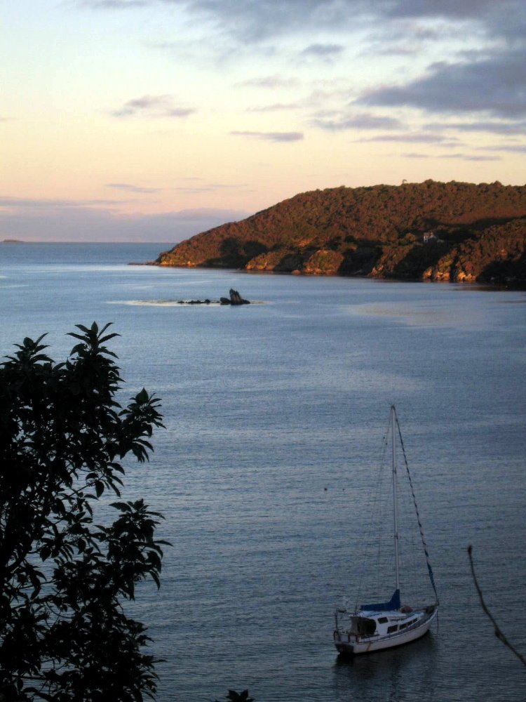
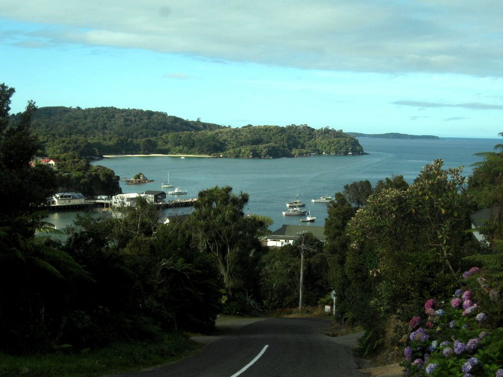
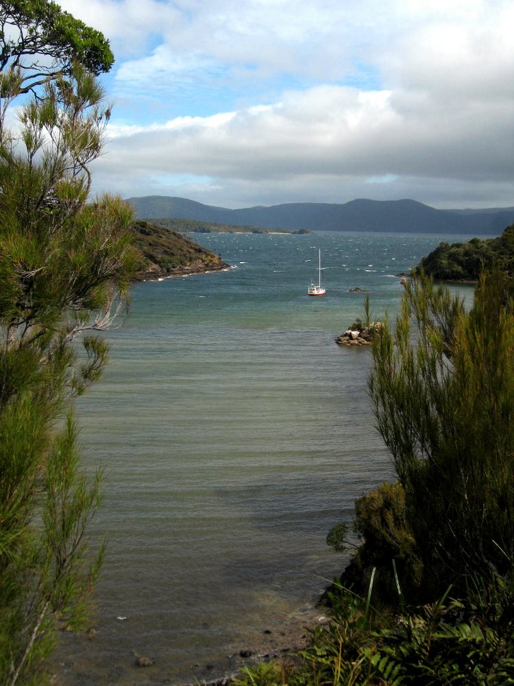
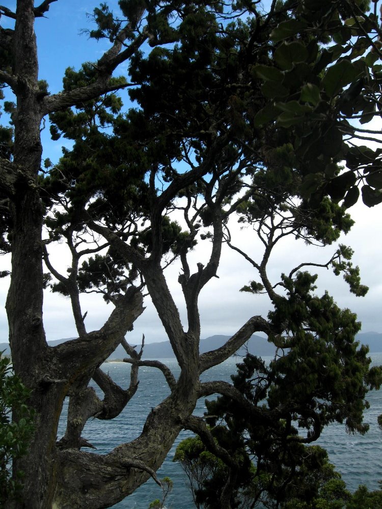
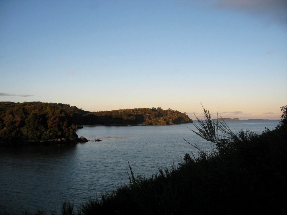
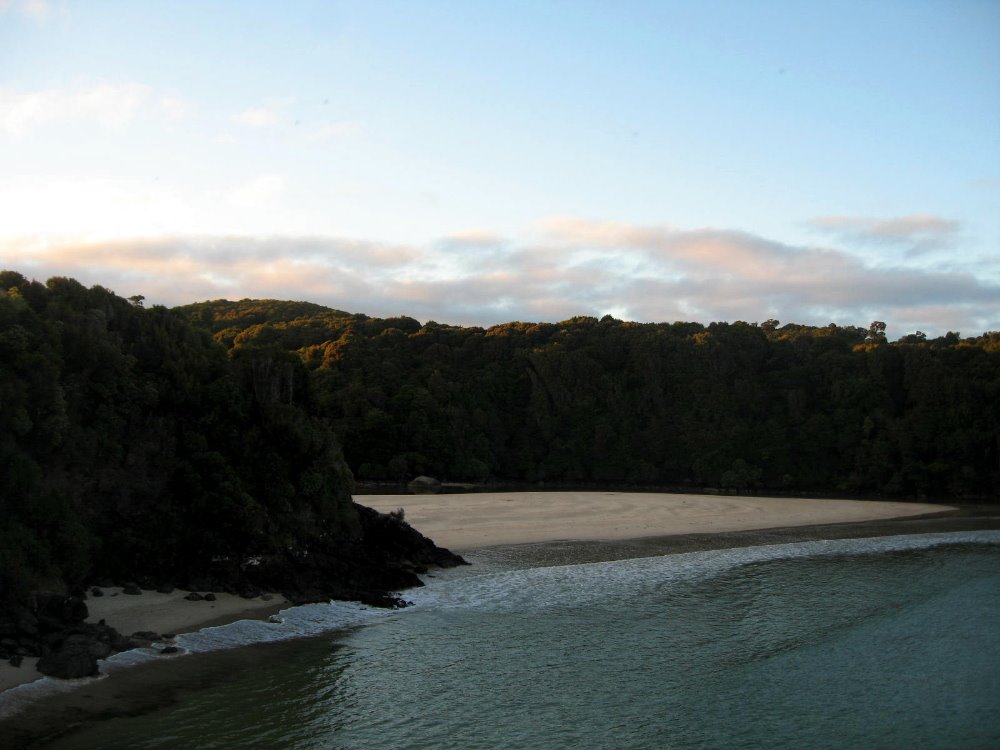
Rakiura, or Stewart Island, is the third-largest of NZ’s islands, and it is (while still of significant heft) a very great deal smaller than either North or South Island. (Get this: the South Islanders like to call South Island ‘The Mainland’ since it’s bigger than North Island. Umm, guys, you’re both islands. No mainland here. Deal.) Anyhoo — Rakiura is now mostly national park, aside from a bit around Oban, the only town with all of 380 inhabitants at last census (there are maybe 15,000 kiwis on the island — the birds, that is) and some chunks that are Maori tribal lands. In Maori legend, there was a mythical man who, from his canoe (South Island) fished North Island out of the water; Rakiura, in this telling, was the anchor he threw over to anchor his big canoe when he realized how big a fish he’d hooked. Hence the chain, below; there’s also a chain on the South Island, near the town of Bluff. Rakiura is known above all for being more free than the rest of NZ of the scourge of mammal predators that have destroyed many of NZ’s native bird species. Therefore one can see, here, abundant native parrots, parakeets, little hens and other such birds which are decimated on the two larger islands. I had a lovely quiet two days at the South Sea Hotel in Oban, and walking the streets and trails of town and Ulva Island.


That bump on the horizon, to the right of center, is the South Island. I think.


Dunedin & Otago Peninsula Wildlife


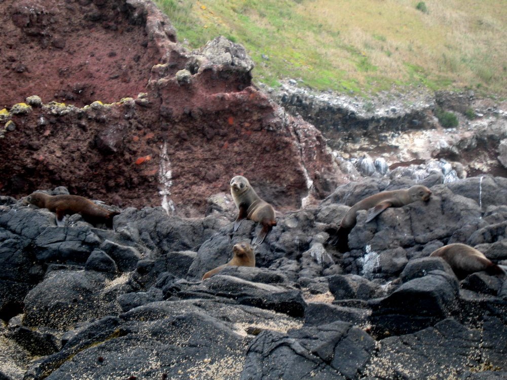
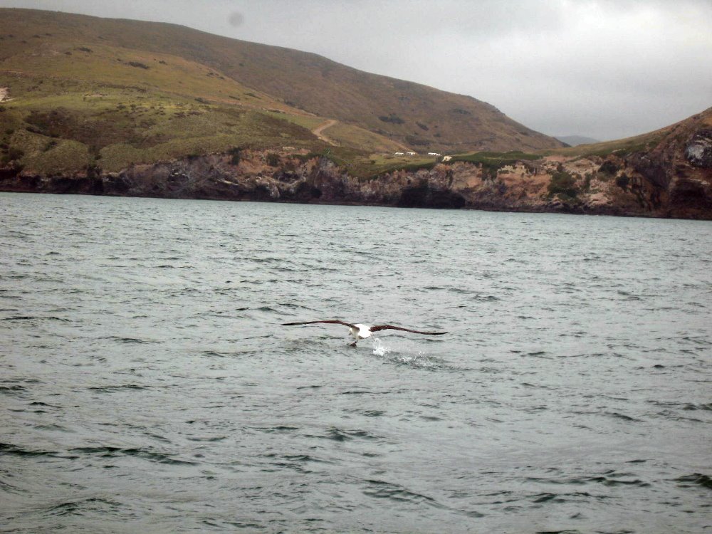
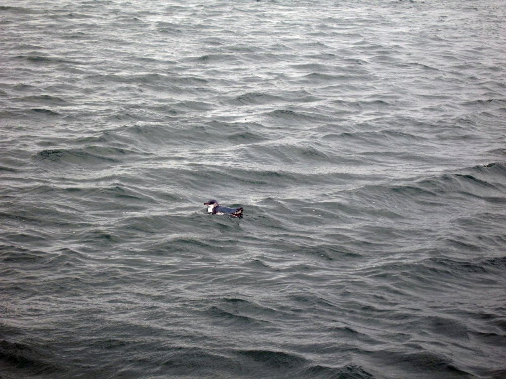
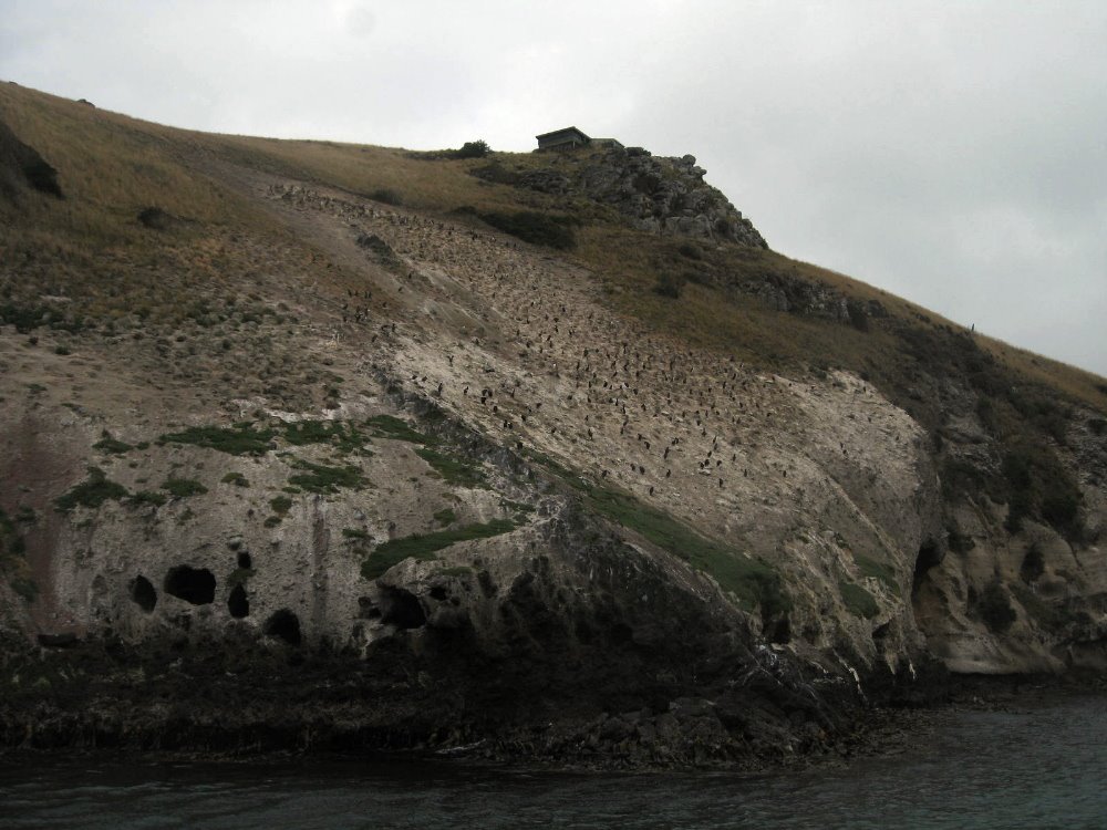
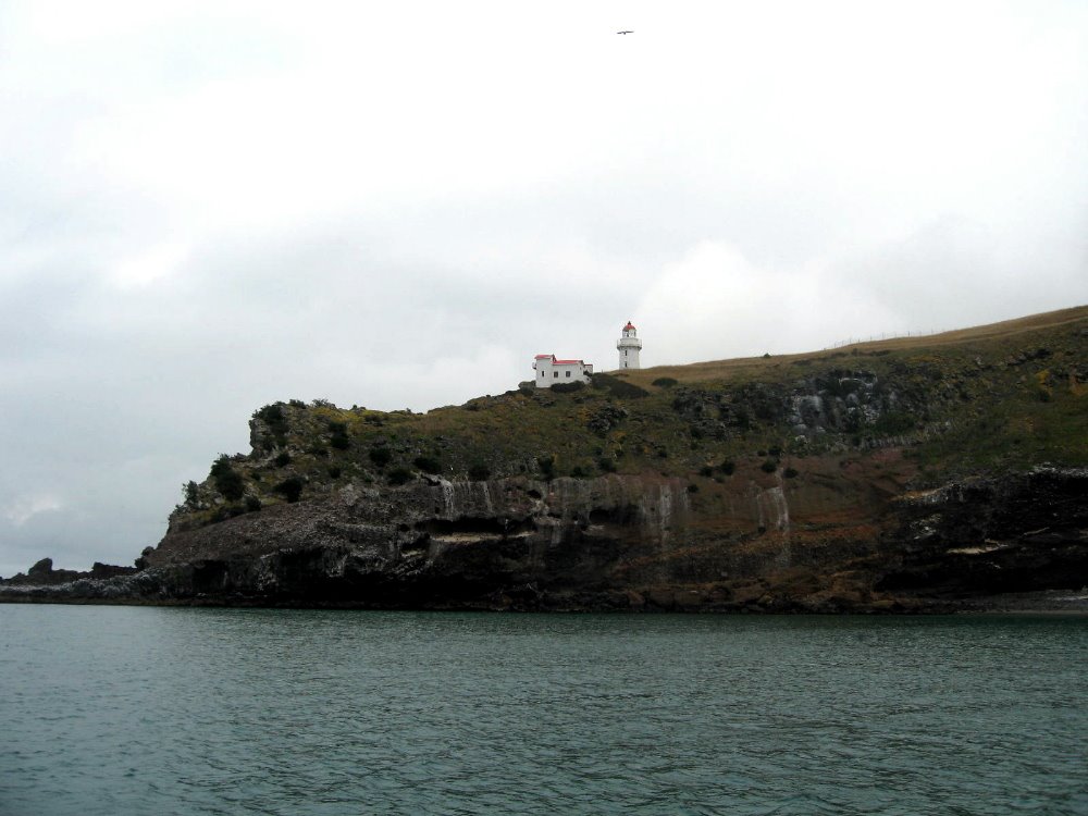
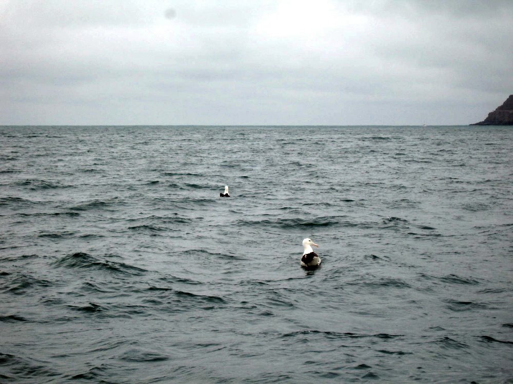
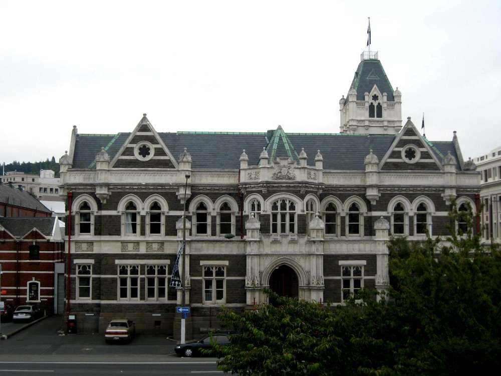
Seals, little blue penguins, and above all the impressive northern royal albatross are indeed what Dunedin and it’s adjacent Otago Peninsula are best known for. That and University of Otago, NZ’s oldest and (by acclamation, it seems) best University. Dun is to Gaelic as Borough is to English, so Dunedin is on some level an ode to Edinborough. The center of the city itself is a pretty little octagon of streets and parkland called, surprisingly enough, The Octagon. This formation at the city’s heart leads to some strange street patterns, but once one gets over that the city’s really quite manageable and very pleasant. Around 1900 it had about as many inhabitants as Auckland…but Auckland’s increased by a factor of 10+, while Dunedin — well, maybe it figured out it had nothing to gain by outgrowing itself. It’ll upset many Kiwis, but in many ways I found Dunedin the most interesting and unique of the cities I visited in New Zealand — I’m sure, and I was told by more than one native, that it’s dull to grow up in, but I can more easily imagine retiring there – sucky weather and all – than Auckland, which I found more gangly and awkward in its growth. Oh well, there you have it. Penguins and seals are as cute out in the wild as they are in museums. And royal northern albatrosses, in flight or on takeoff, have a grandeur these photos can never capture. Sorry.


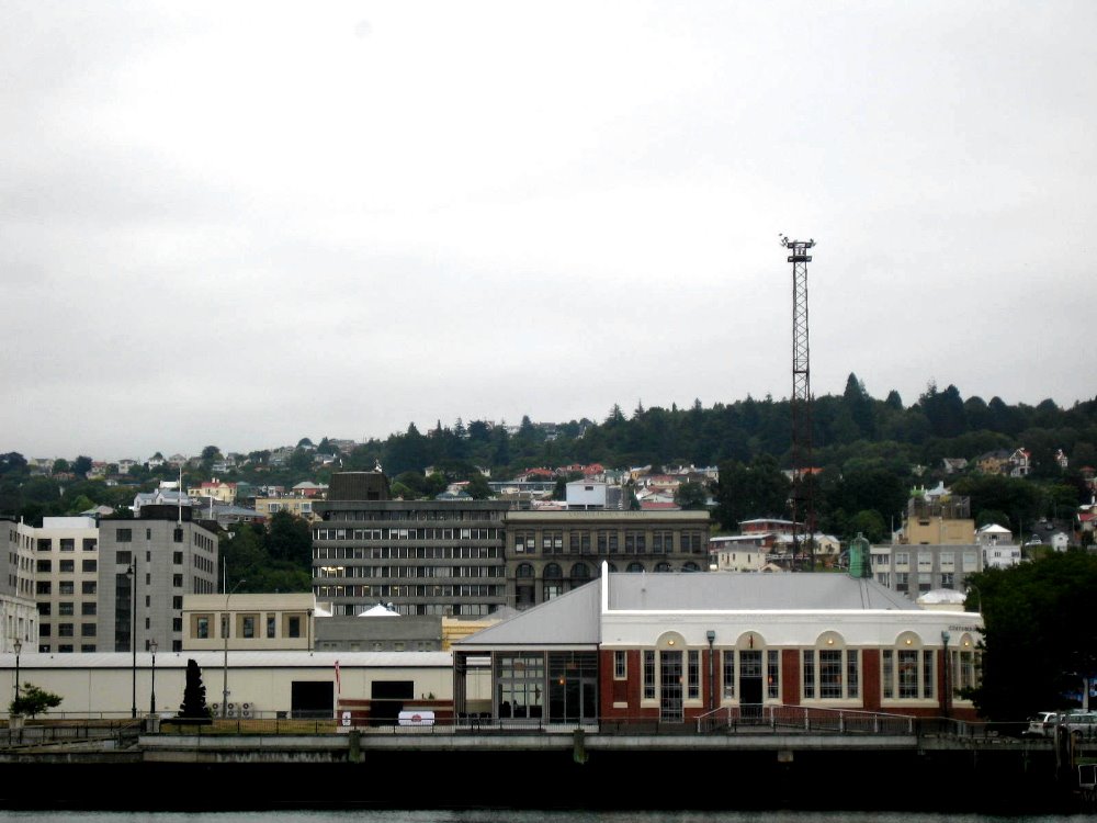
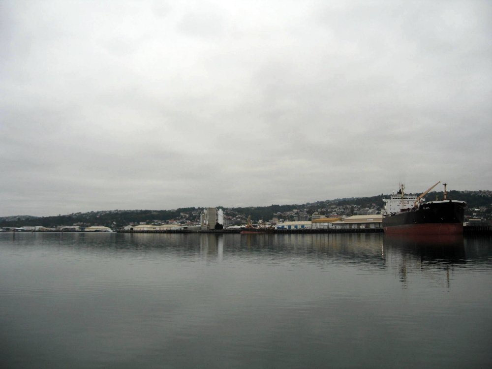
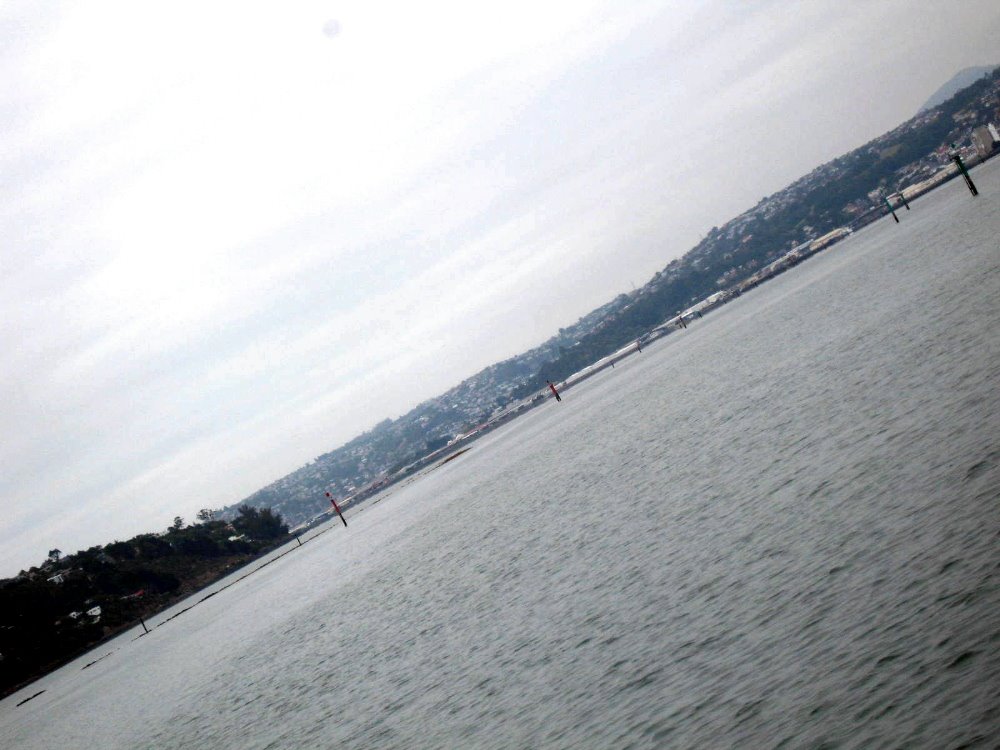
The harbor runs between the peninsula and the mainland on the other side, and the inner harbor is very shallow so admits only fairly small boats; the outer harbor is very active shipping out powdered milk and lumber to China and the rest of Asia. It was foggy when I was out there, in case you hadn’t guessed.


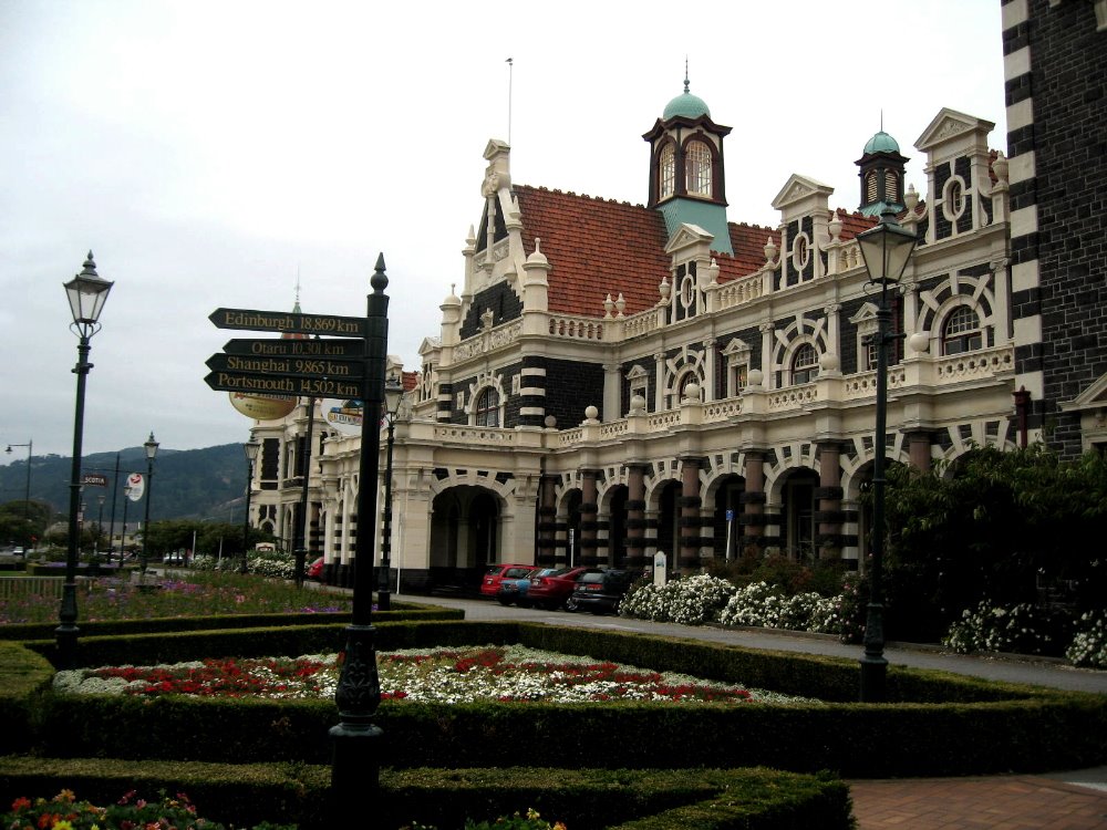
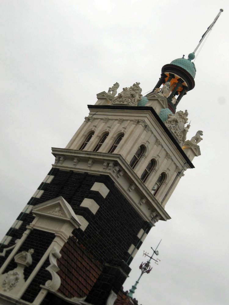
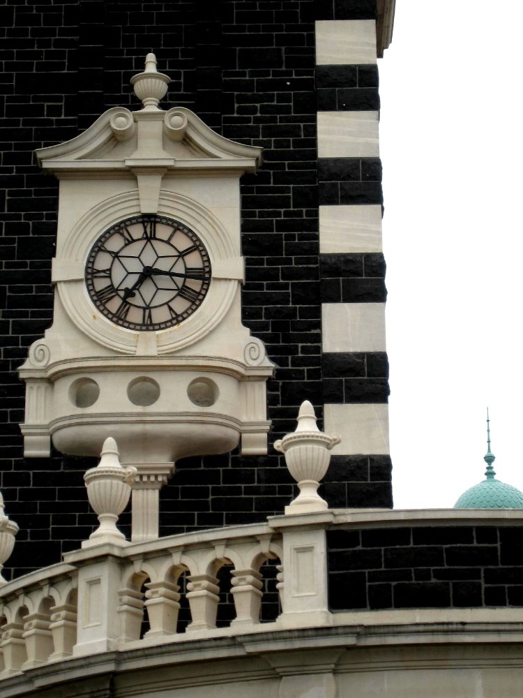
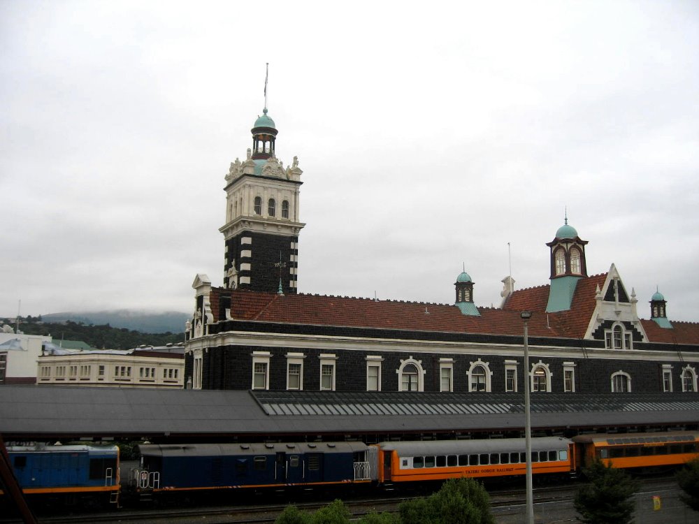
Above and also below: Dunedin’s famous train station. I don’t know where those train cars go: they’re not connected to the national network, which stops at Christchurch a good piece north of Dunedin. I think it’s some kind of regional tourist train. Or maybe they’re just there for show. Nice building, though, huh? Below: one side of The Octagon, with city hall opposite.


Marvelous Marlborough

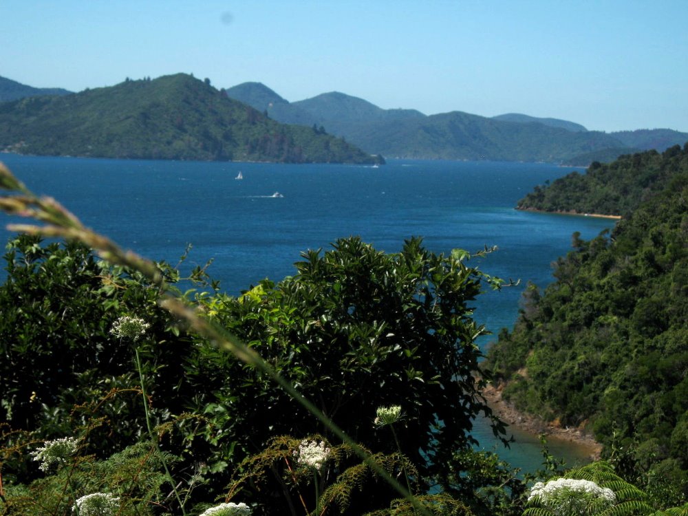
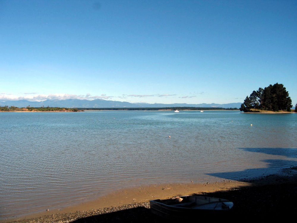
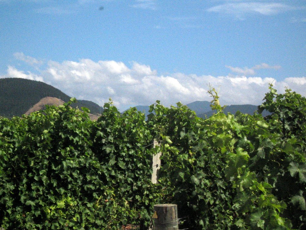
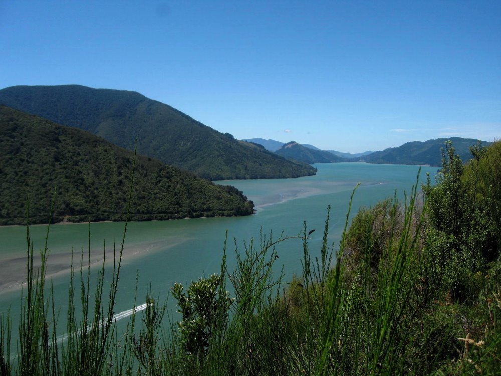
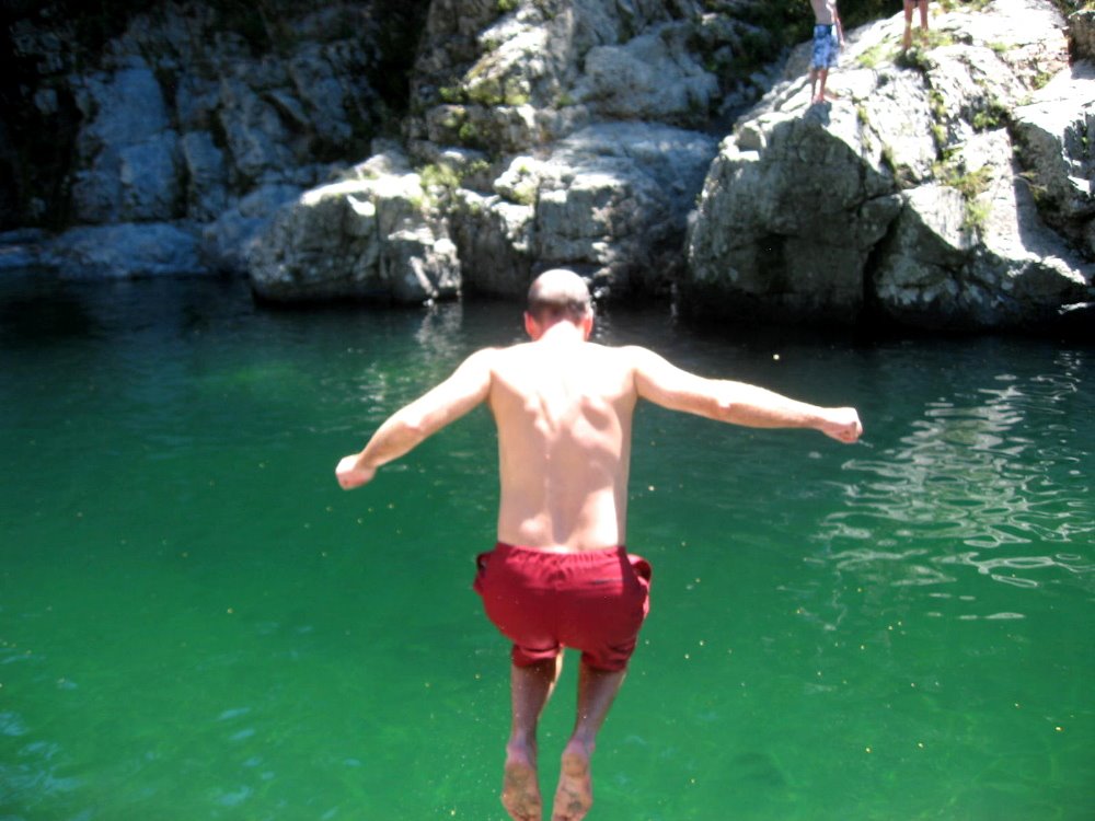
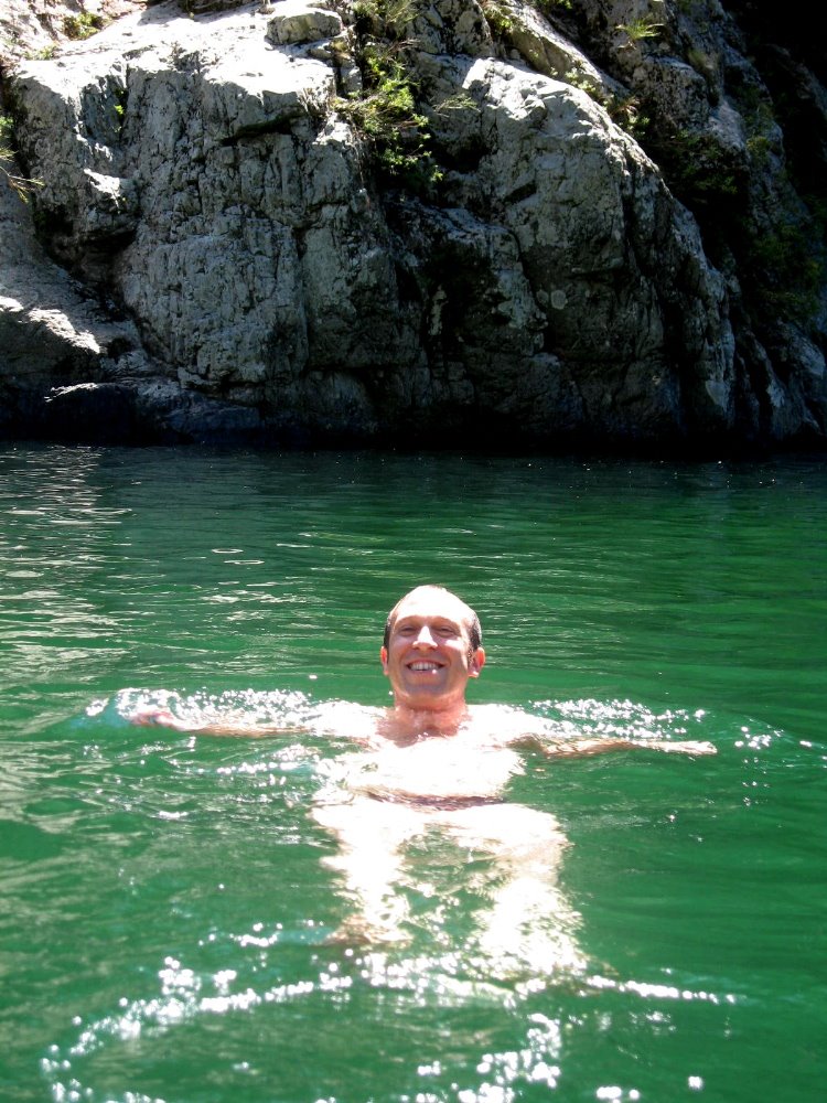
At the north end of South Island is a region called Marlborough. It’s New Zealand’s main (of several, for such a small country) wine-growing region, and home to Picton (a little town where the ferries from North Island arrive), and Nelson — to which Howard, Gene & I flew after regaining our bearings with a day or two in Auckland and a walk on Rangitoto Island (below — I’m messing with your minds if you’re trying to follow my itinerary here; I’m putting up regional segments based entirely on how visually appealing they are and how important they were to my experience in NZ…deal…). Nelson is just south and east of Abel Tasman National Park, for which we sadly did not have time; I’ve included, below, a few shots of what I think are the mountains from that beautiful area, as seen from our overnight hub of Monaco, on the Western edge of Nelson. I have included some of the nicest shots of vineyards around Nelson and Blenheim, a swimming spot along the Pelorus River (which, Wikipedia tells me, is known for its ‘magnificent’ river swimming – but we didn’t know that when we crossed the bridge in our rental car and decided we just HAD to join the folks at that swimming hole), as well as some shots of both the Pelorus and the Queen Charlotte Sound, which are among the Marlborough Sounds — yet another amazingly beautiful region on the northeastern corner of South Island, near Picton where those ferries from Wellington dock.
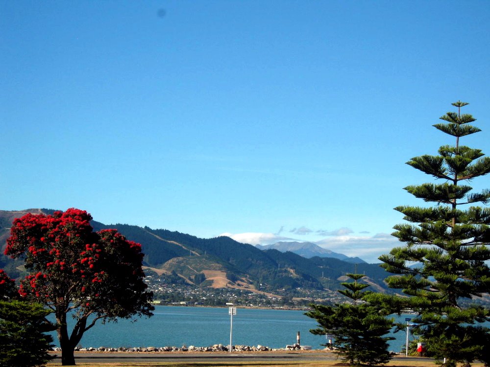
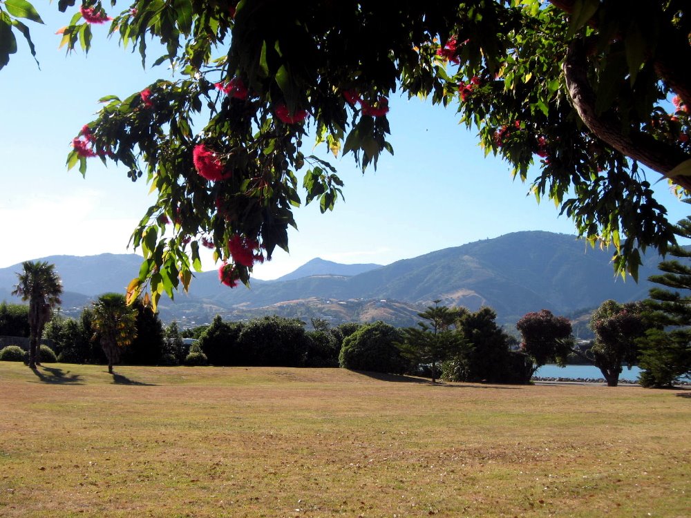
I think those mountains in the distance are in Abel Tasman National Park. Oh well, next trip…


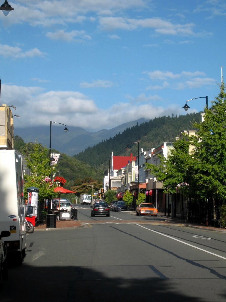
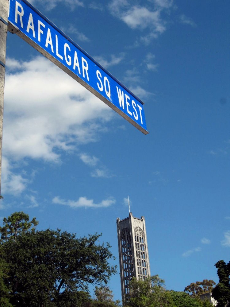
This is the cute little town of Nelson (sidewalk rolls up, even on a holiday Friday, by about 22:00), above and below. Nelson gets more days of sun that most other parts of NZ. Which…well, isn’t necessarily saying all that much. 🙂


Weekend in Wellington

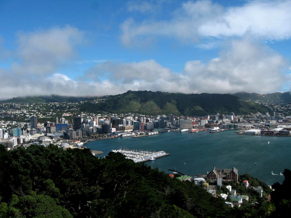
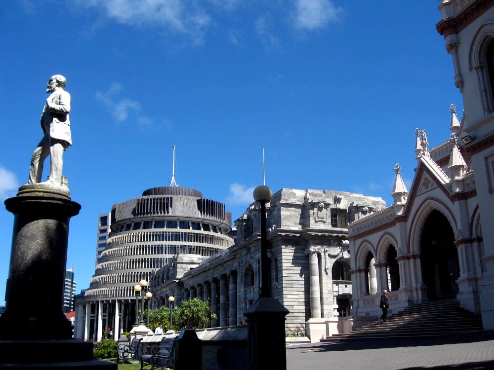
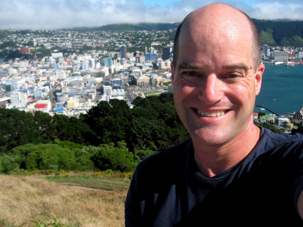
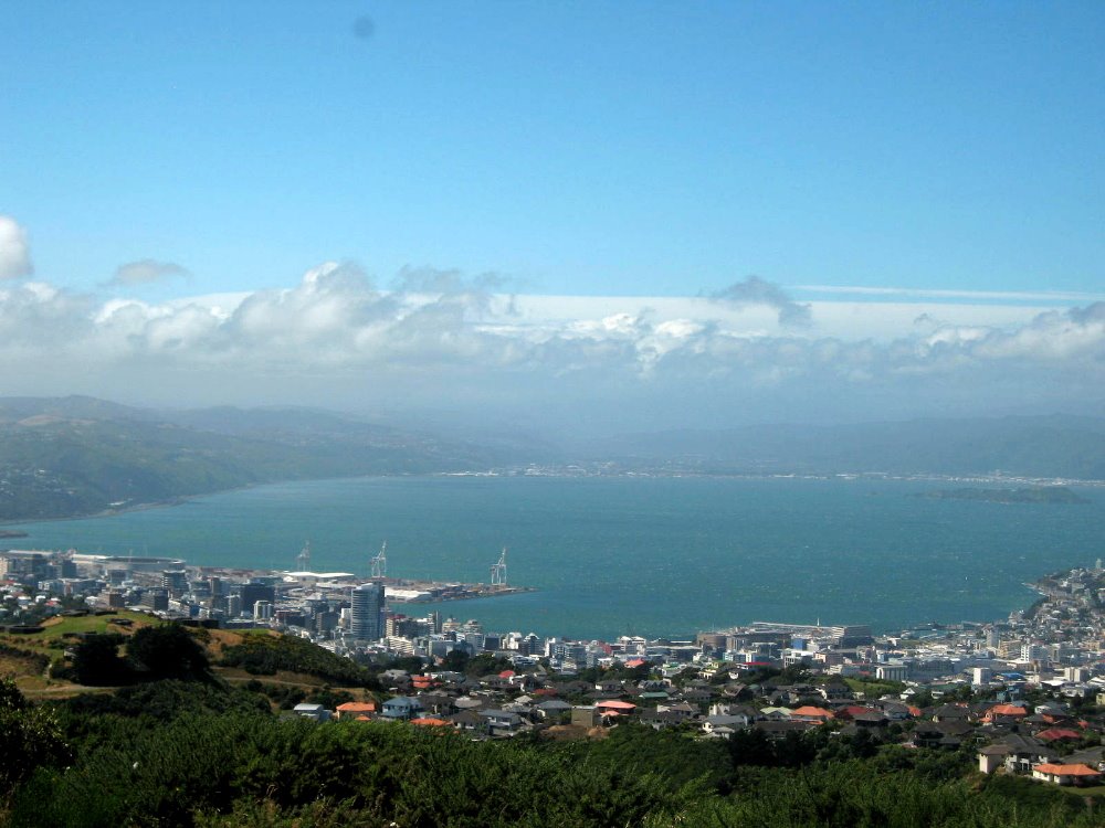
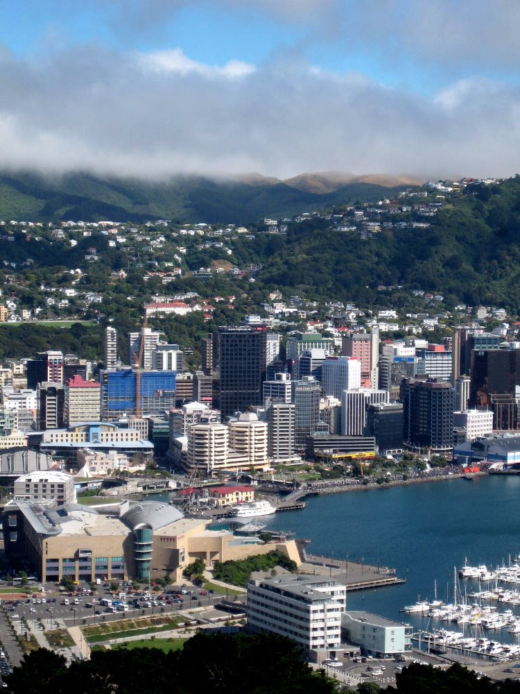
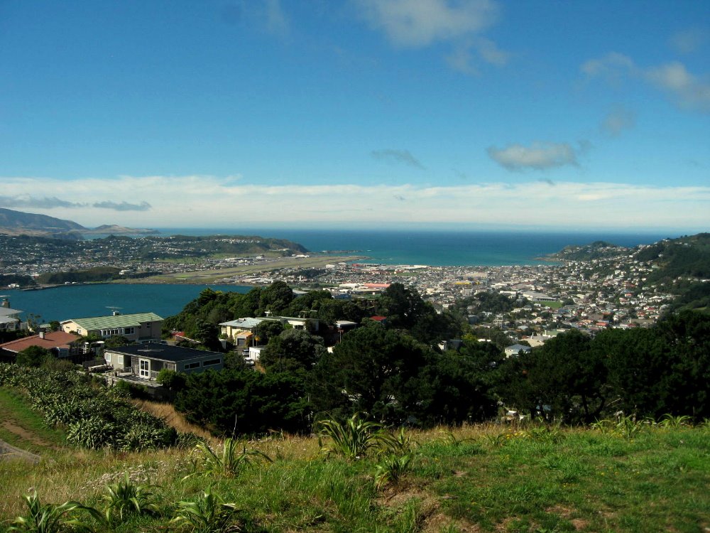
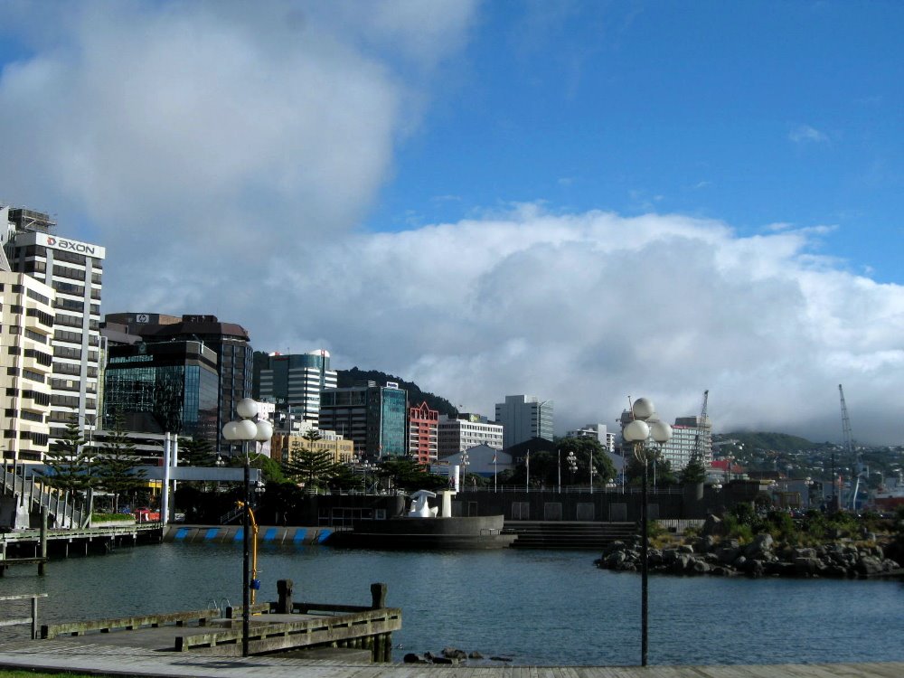
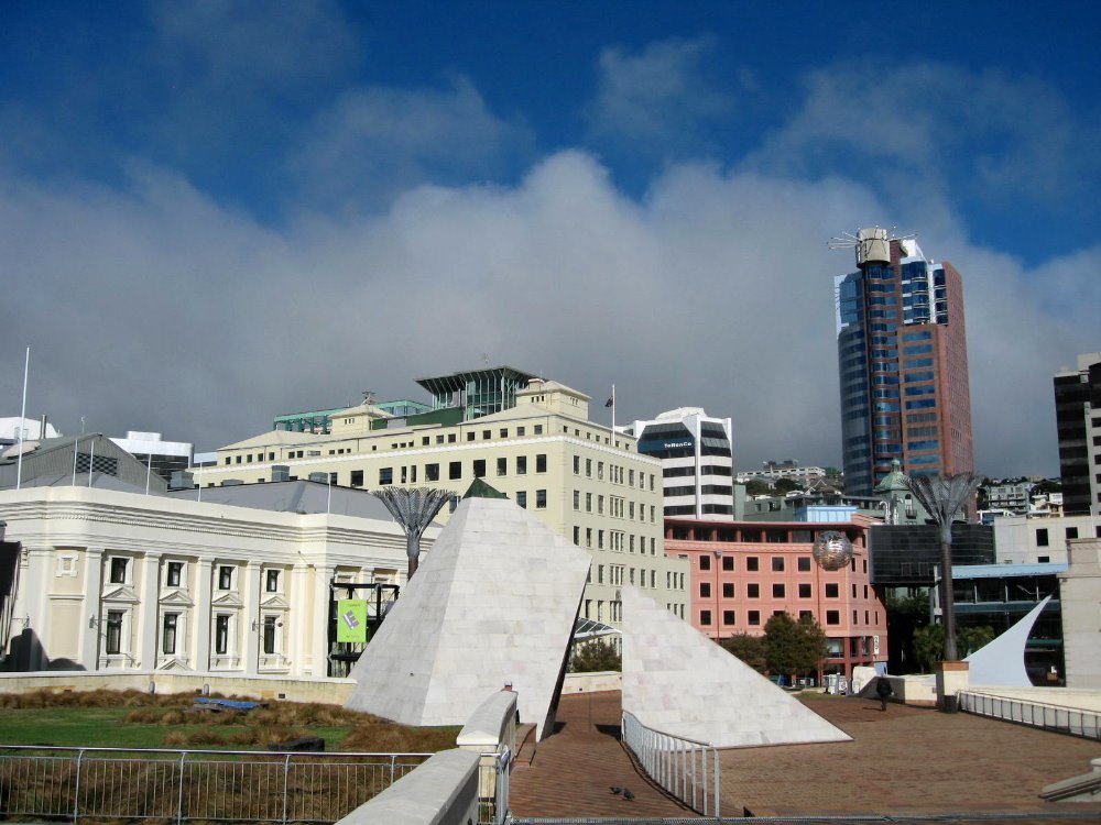
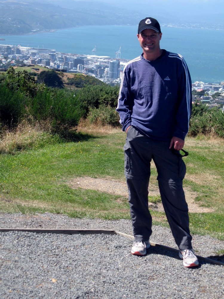
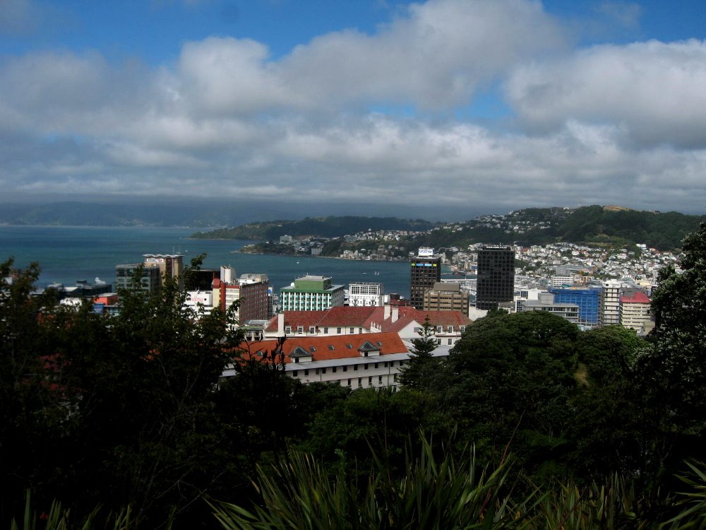
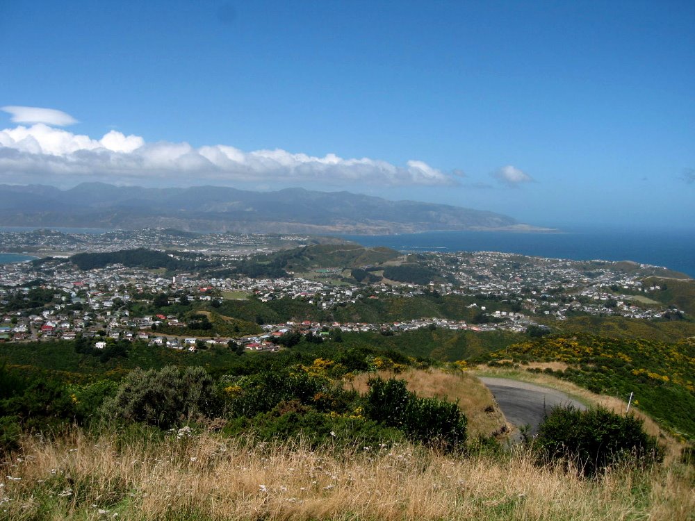
It’s the national capital, at the bottom of North Island with easy access (several ferries a day plus lots of flights) to the South Island. Being on the Cook Straight which separates North from South, it’s mighty windy much of the time. It’s on a very large and nearly circular bay; if you imagine the exit from the circle as being roughly opposite downtown Wellington and about – oh, 15km away? – you’d be sort of right, and then imagine lovely beaches and various suburbs circling out along the bay’s coastline like arms around the main downtown area. (On the backside of some of these arms is open ocean, since after all the whole thing is an island and this is the narrow southern end.) It has a really excellent national museum, newly conceived and built in the late 1990s or early 2000s and called Te Papa (short for something a bit longer; I’m fairly sure Te Papa basically means The Museum). It has the three-building parliamentary complex, very friendly with free daily tours of its lovely restored and earthquake-proofed buildings, seen below: on left, ‘The Beehive’ which houses executive offices; middle, the older parliament building where the SINGLE house of NZ’s parliament meets: no senate here to block progress with filibusters; and, no, that’s not a church on the right: it’s a gorgeous gothic (?yes? any archtiectural history folks among my handful of readers?) parliamentary library. NZ’s answer to the Library of Congress, as it were. Cheers to Denis & Steven for very graciously hosting me during my Wellington stay, and showing me great hiking and coastline along that above-mentioned big bay.


That big building next to the parking lot? That’s Te Papa Tongarewa, Museum of New Zealand, opened at this site in 1998. Auckland, I’m told, is jealous that the museum was built in Wellington, which is…um, the capital? And more, like, in the middle of the country? Auckland’s got a very nice museum of their own, but their parks are either hard to access and surrounded by too many big roads, or sort of afterthoughts. Unlike the parks I visited in Wellington. So there, Auckland. Get over yourself. 🙂 (I mean, is NYC jealous that the Smithsonian is in DC? No, NYC just made its own great museums. That’s what real cities do. Duh.)


Takin’ the Train

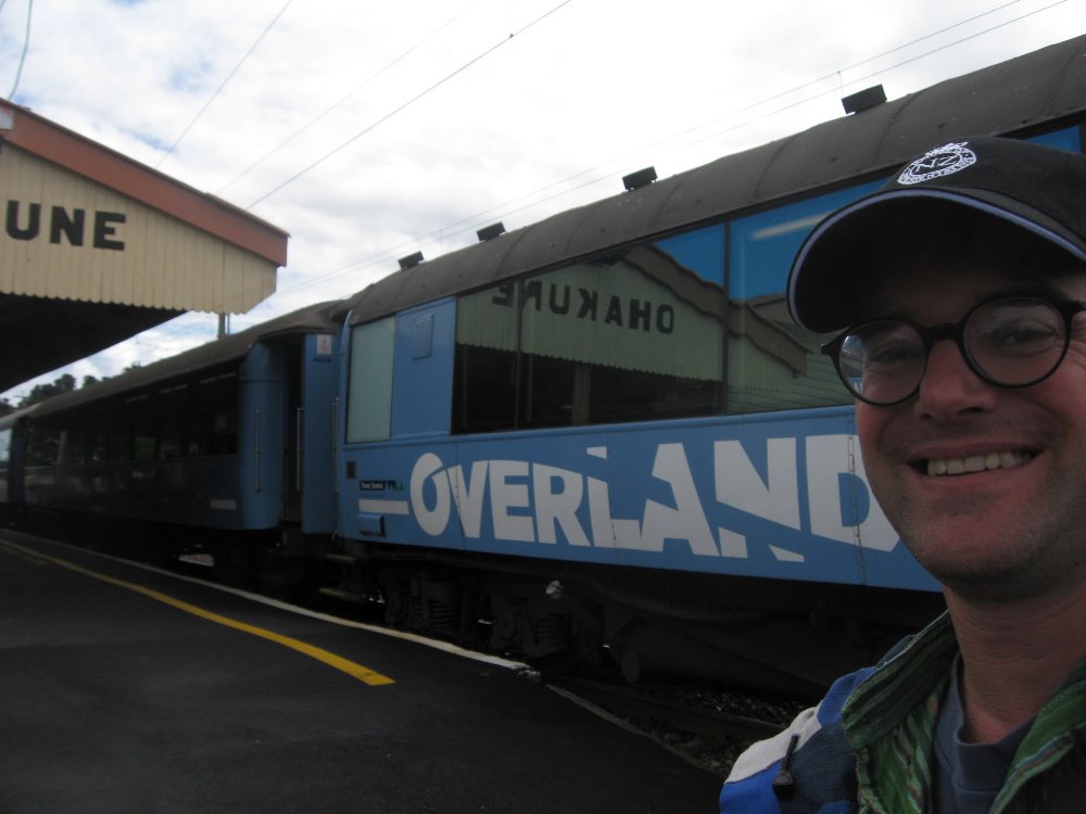
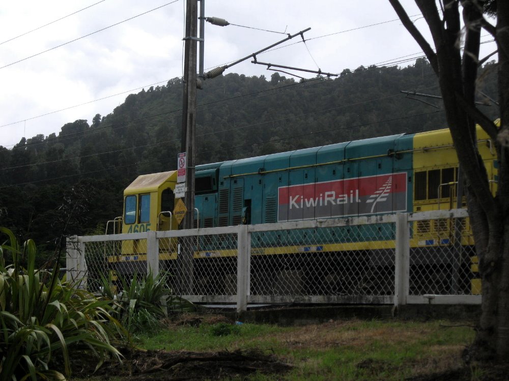
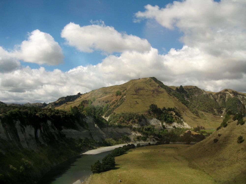
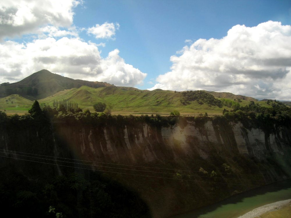
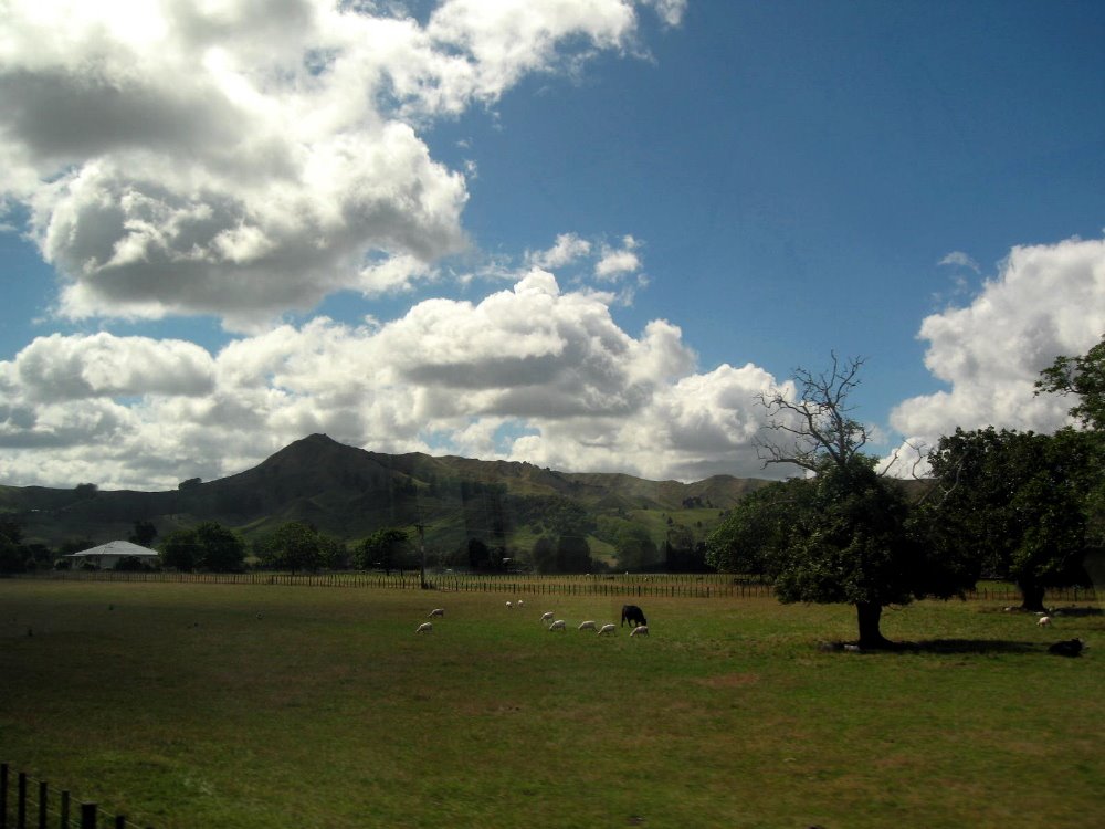
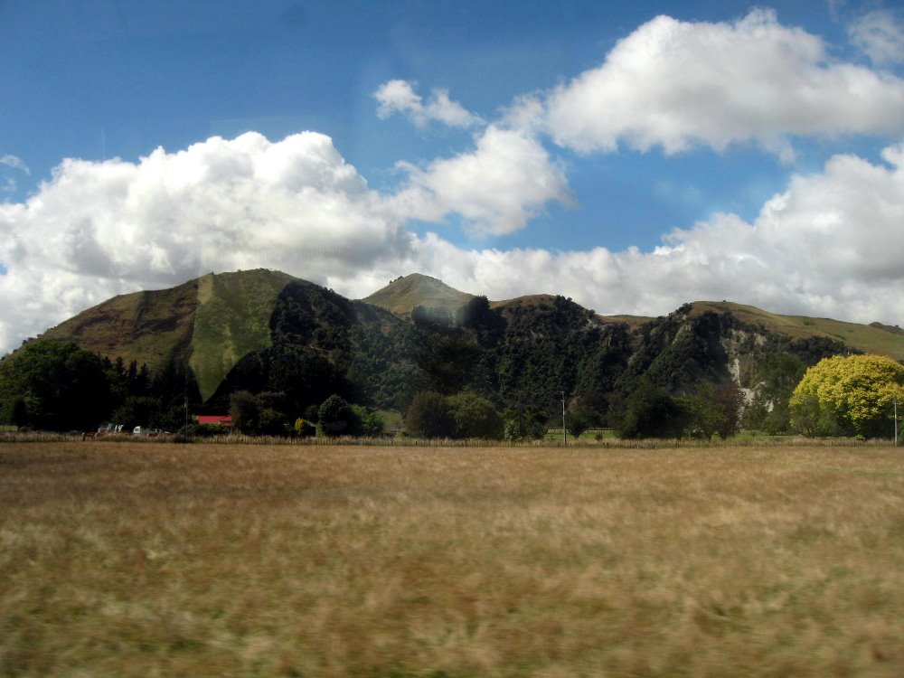
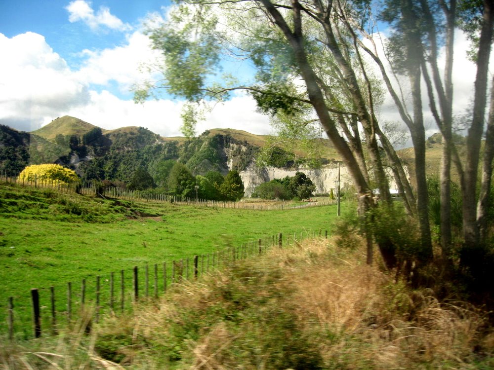
From Wellington I headed north to Tongariro National Park…pics of which you’ve already seen because, well, it’s just more interesting, now isn’t it? 🙂 This was the first time I got to take the train here in NZ and I was charmed: the rail is all narrow-gauge, so the trains are a bit narrower to begin with than in Europe or other places I’ve gone by train. But one must also remember it’s NZ: and this often means many things, among them small, well-done, friendly, generally adorable and wonderful, and without a lot of choice often. There are, by my count, six long-distance passenger trains per day in NZ: one northbound and one southbound between Wellington & Auckland (The Overlander, pictured above in Ohakune Station on the southern edge of Tongariro Nat Park) — this one has four passenger cars, one of which includes the cafe/bar car, as well as an engine and a baggage car. The northbound and southbound crews switch trains at the midpoint, usually at or near National Park (a town that exists for the train, and where I stayed during my lovely Tongariro journey), which allows them to be home for the end of the day. How adorable is that!? Other long-distance trains: between Picton & Christchurch, covering the northern half of east coast of South Island; and between Christchurch & Greymouth, diagonally across some of the mountains on South Island. I assume those, also, go once each day, but I don’t know. I recommend train travel in NZ: it’s friendly and though it covers only a small part of the country, it’s comfy and gives great views. Some of these are below…please pardon the occasional window glare.


In & Around Auckland

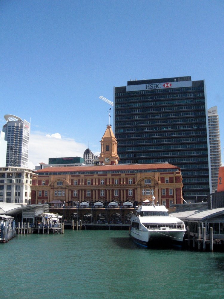
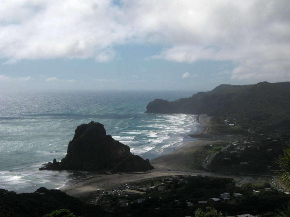
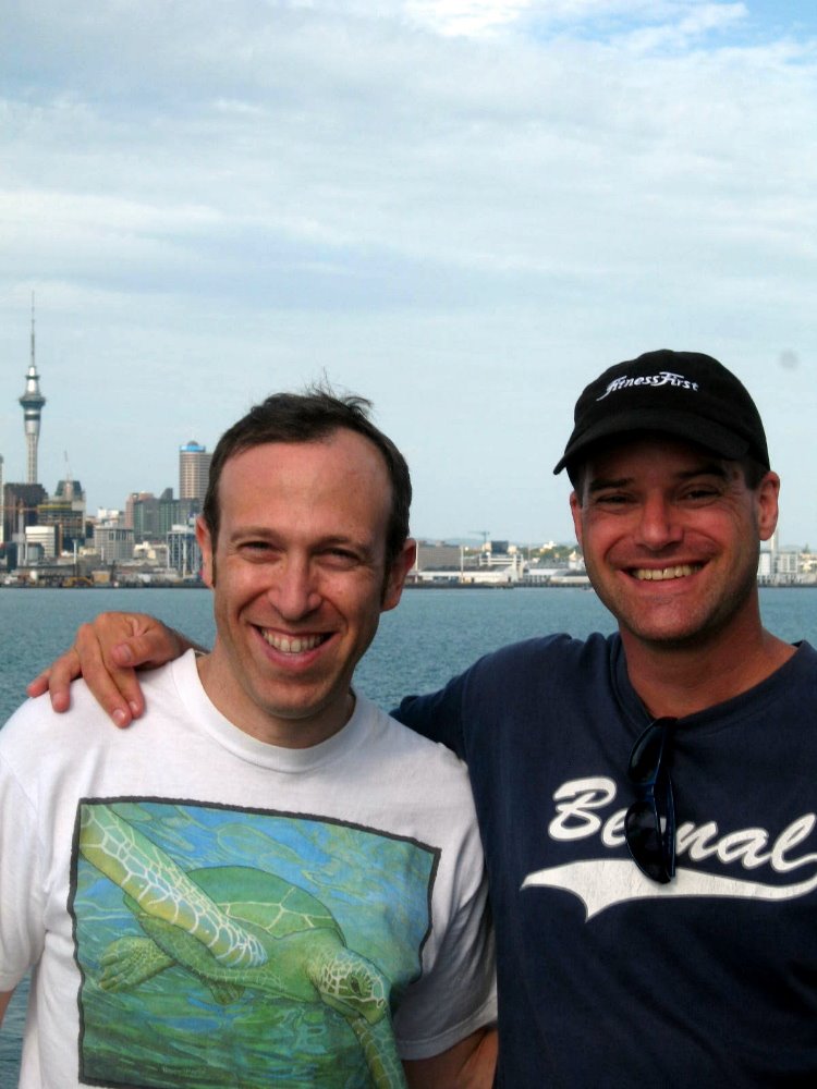
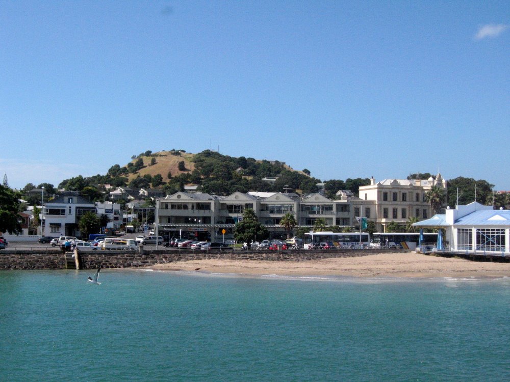
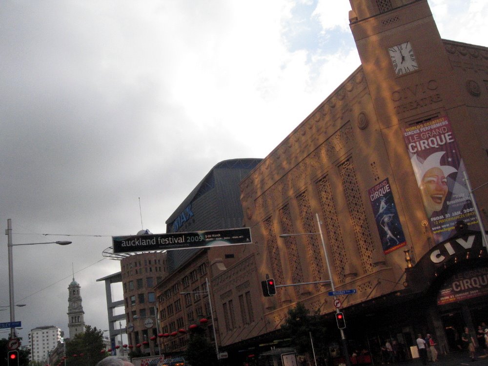
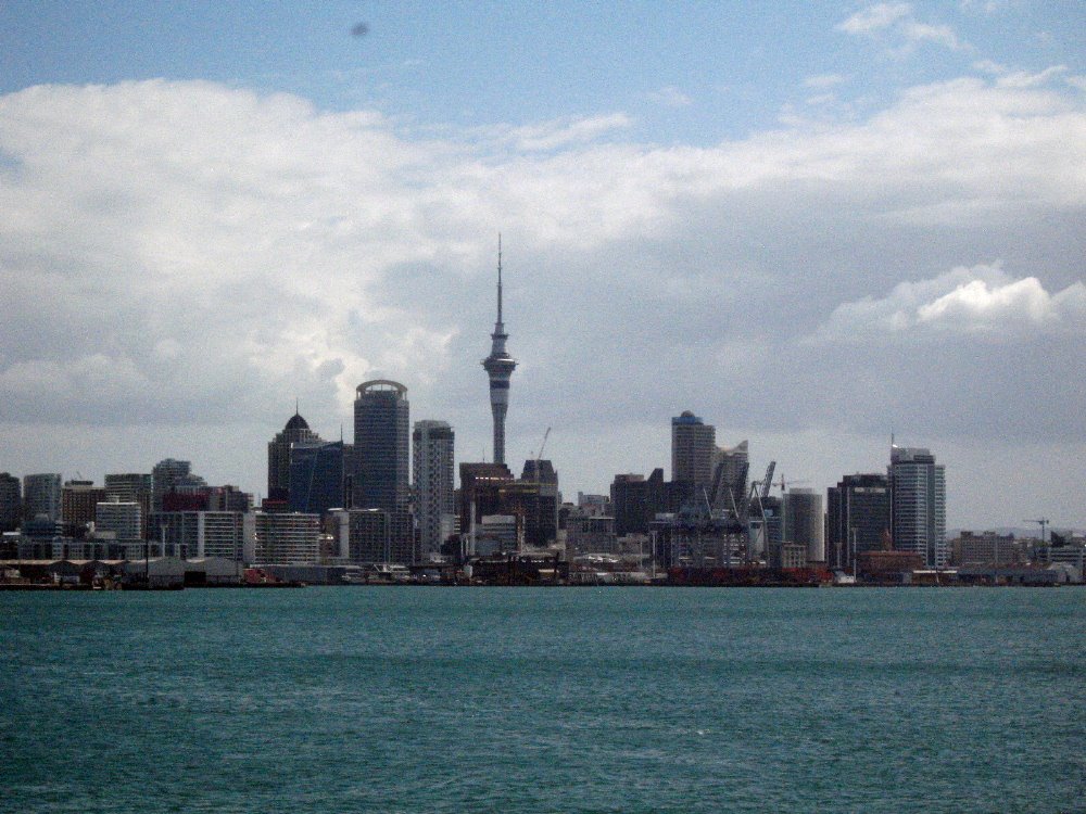
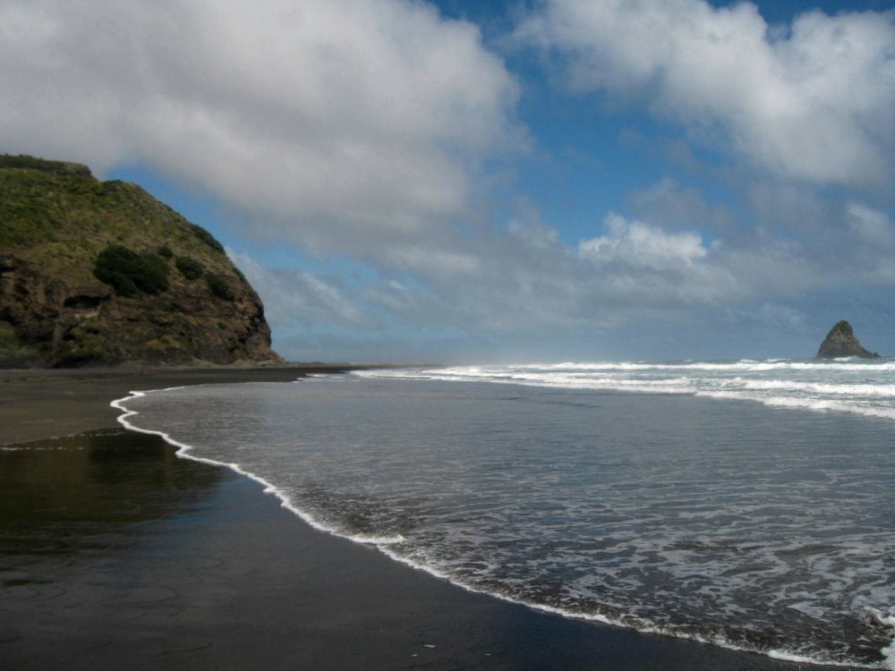
Greater Auckland, whose emblematic ferry building is above and whose favorite beach (Piha and Lion Rock) are below, holds about 1/3 of all the 4.2 million inhabitants of New Zealand. Yup, New Zealand is a bit larger than the United Kingdom and has about 1/15 as many inhabitants. Auckland itself — fairly interesting city but one doesn’t come to NZ for its cities, really. 🙂


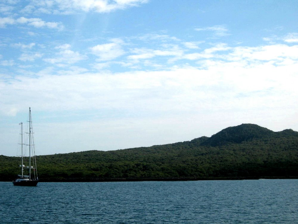
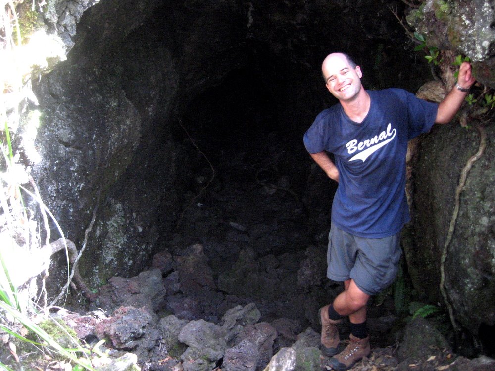
Rangitoto is a recent volcanic island very visible a short way out in Auckland’s harbor. Maori inhabitants first arrived in Aotearoa/New Zealand between about 900 and about 1200 CE, and it’s within Maori memory that Rangitoto came into being, if I’ve understood correctly. It’s all open space reserve now with no shops or water or anything, but a few good walking trails over hot volcanic rock — and very cool lava tubes (below) you can walk through if you crouch low enough and have carried something to light you way.


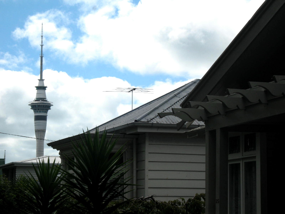
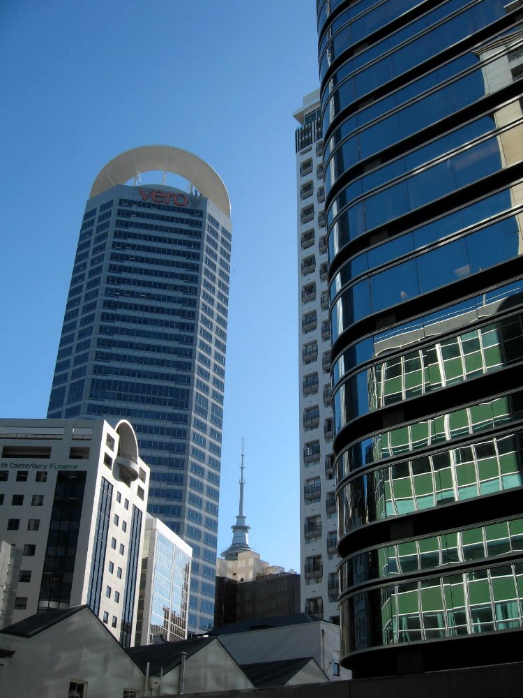
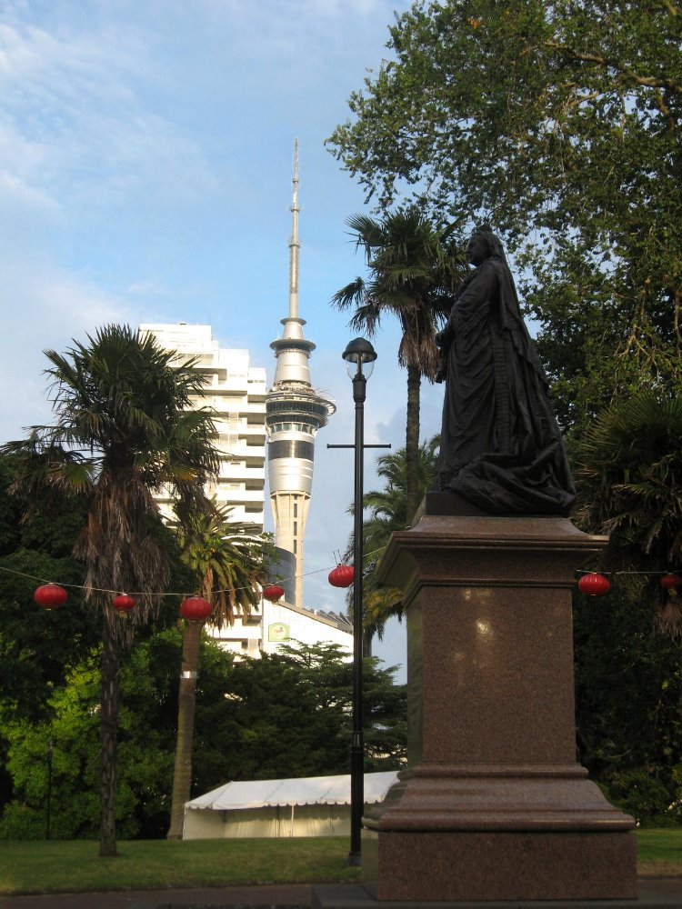
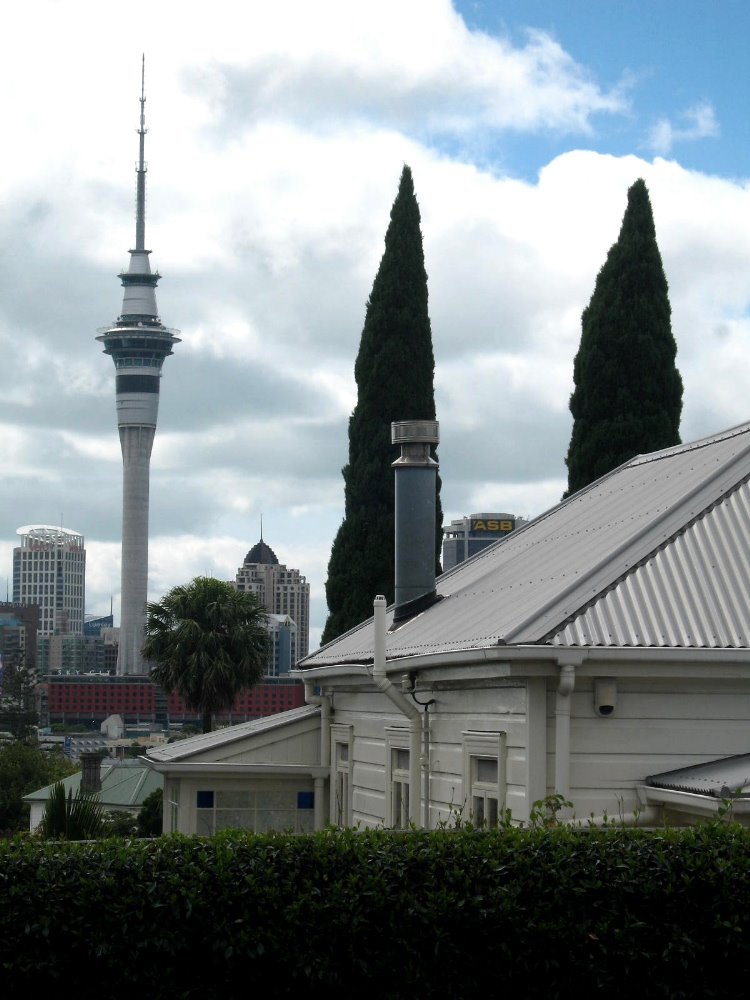
The TV tower is really the most emblematic building in the city, seen above and below and various other shots here, since it’s mighty visible and graceful from many parts of the region. It’s some kind of southern-hemisphere tallest thingy, but there are various category of tallest and I’m not sure which it is.


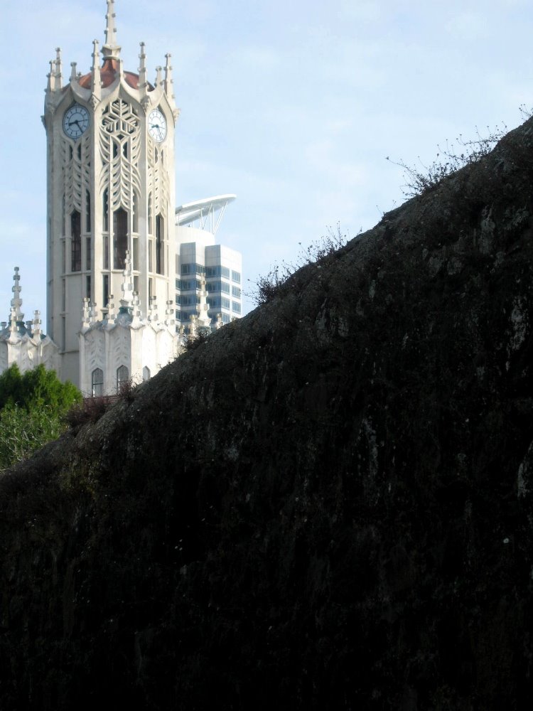
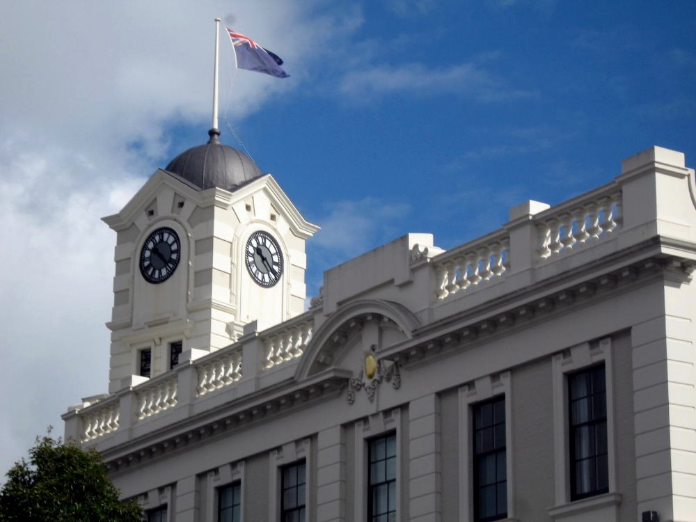
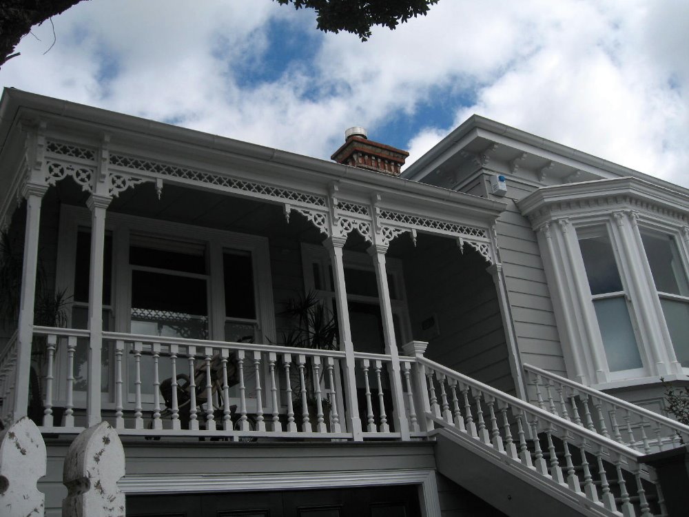
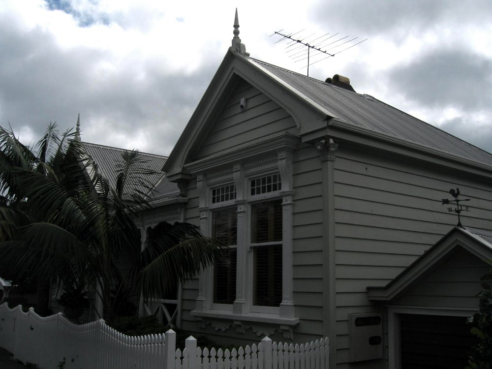
Auckland (and Wellington, though there the weather wasn’t as good for photography that day) has some lovely wooden houses and bungalows in various neighborhoods, dating most likely to the late 1800s and early 1900s. It’s important, with New Zealand, to remember serious European settlement didn’t really begin until mid-1800s.


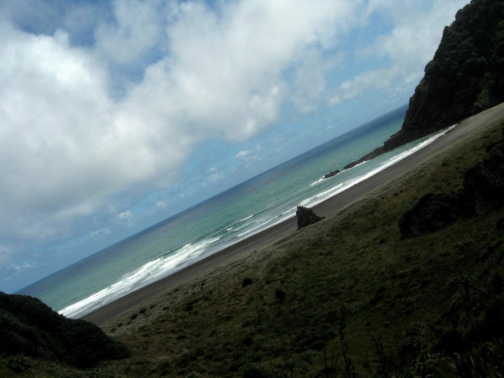
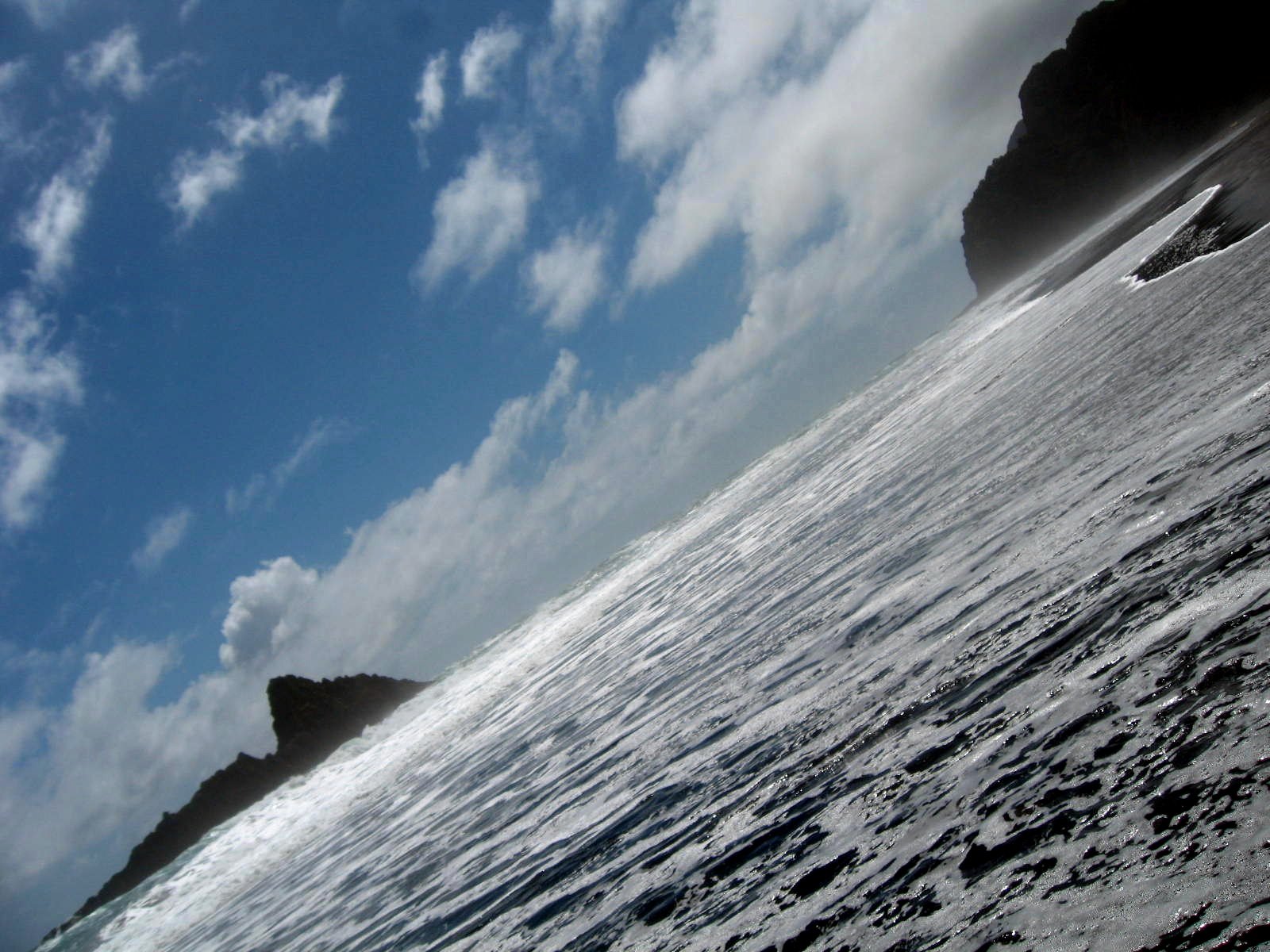
Remember The Piano, that great movie from the early 1990s? Karekare — above and below — is the beach on which the piano was deposited, and from which many of the famou marketing shots from that movie were taken. I’ve taken different angles, of course… NZ movie trivia: it was for The Piano that the very first Kiwi won an Oscar — Jane Campion for the screenplay (she also directed); she was followed a bit later that same evening by the second Kiwi, Anna Paquin as supporting actress.


100 (or 42) Degrees in Denmark: Wonderful SW Western Australia

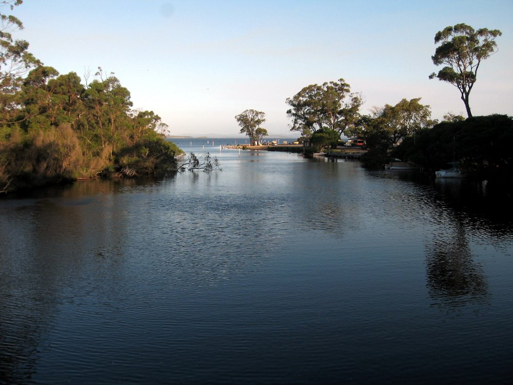
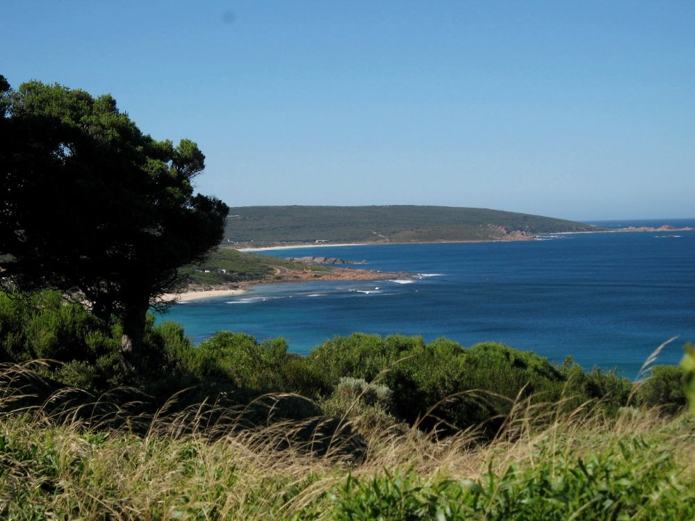
smw, slt is about to finish a glorious month in Australia and fly on to New Zealand. NZ will be wonderfully beautiful and exciting as well, I’m sure…but I’m feeling sad about the end of this fantastic first book of my excellent adventure. I’ve put great effort these past 48 hours or so to getting all my Australia photos sorted and quality-controlled so I can put them up here before I go take a few jillion more in New Zealand. For those who’ve been wondering what I’ve been doing with my time, perhaps these next several entries will provide you with some answers — primarily visual, but also some textual information as well. For this first Australia entry you will see, of my several days exploring SW Western Australia, text will be minimal and the pix will do the talking. THANKS are due, though, before we move on, to the real stars of this entire month: Ondrej, without whom so much would have been less clear or simply impossible and whose support and friendship remain an honor; Trudi, who’s even funnier and more wonderful to spend time with on her own home turf than in wild and wacky Port Harcourt; and of course Beth, John, Edwina and above all Sir Mikey, who gave me a good excuse to take advantage of their hospitality even longer than anyone foresaw! 🙂 Please, everyone, allow me to repay your generous hospitality in the US or somewhere else whenever I can!

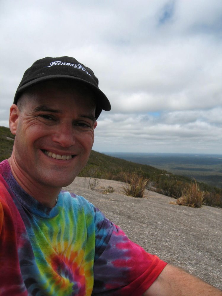
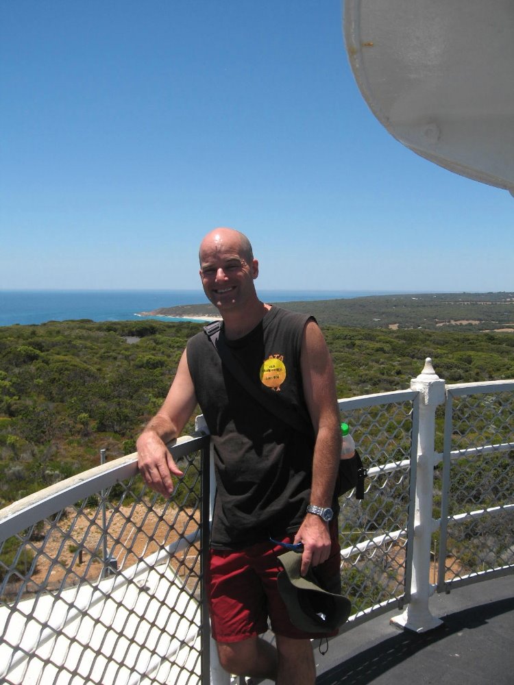
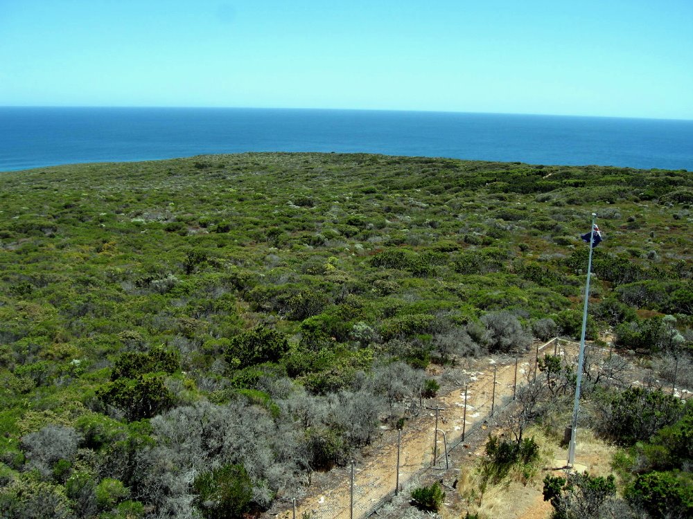
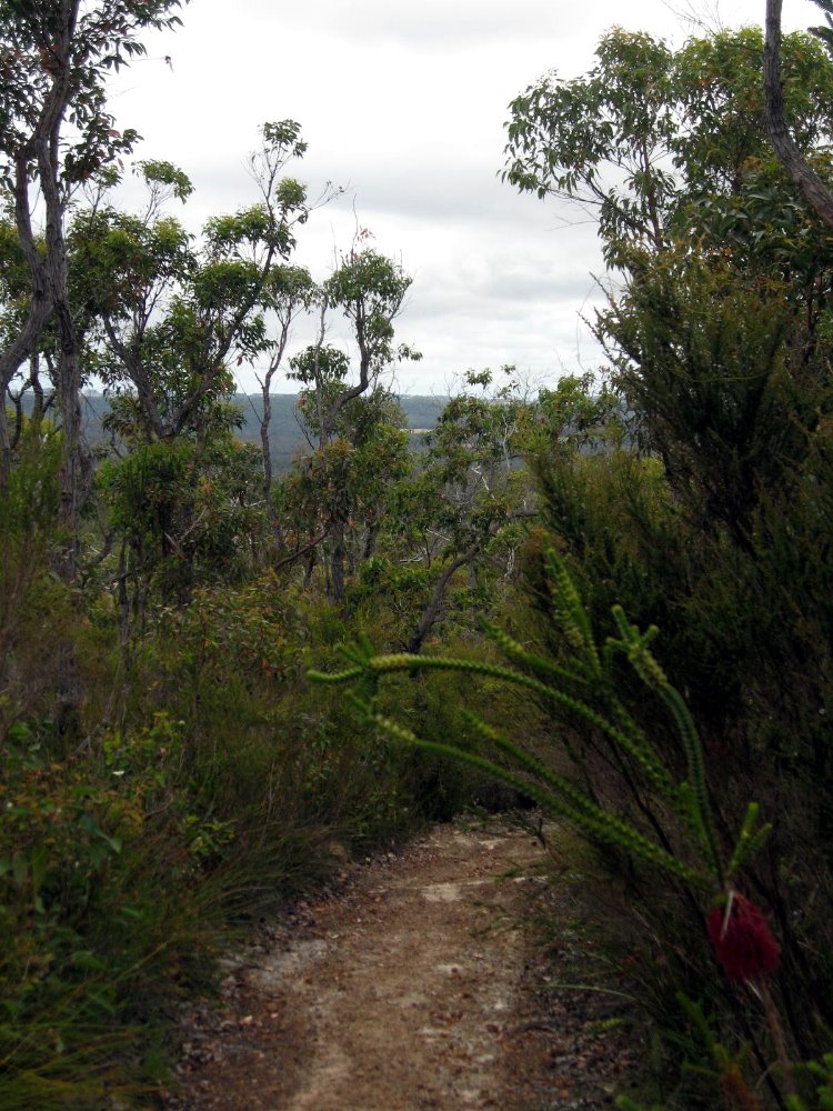
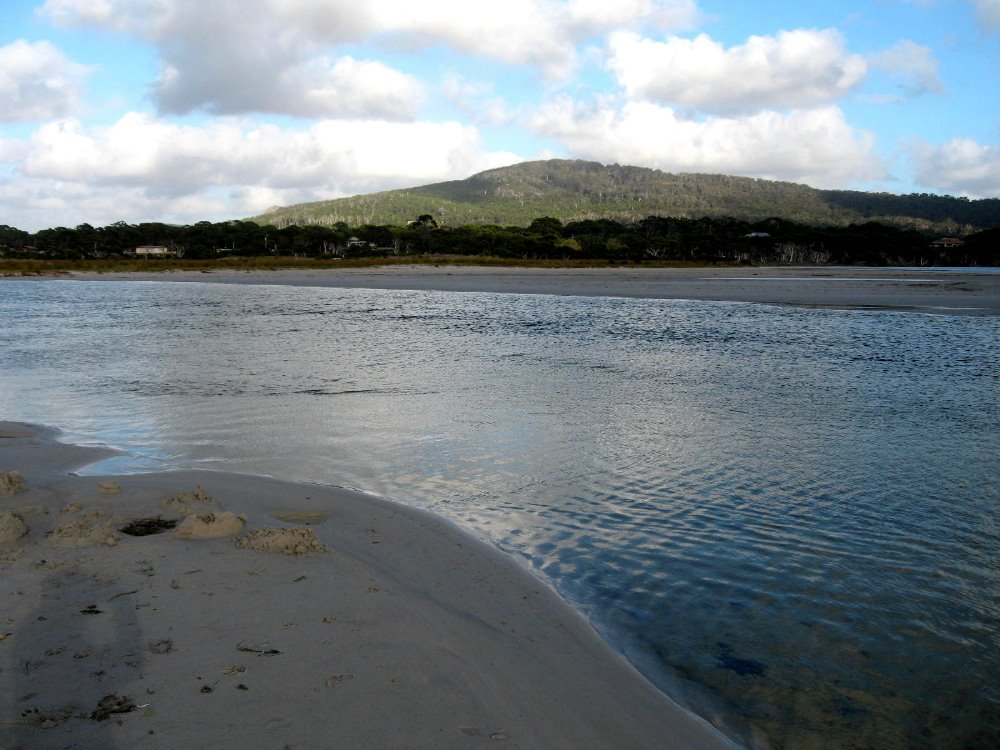
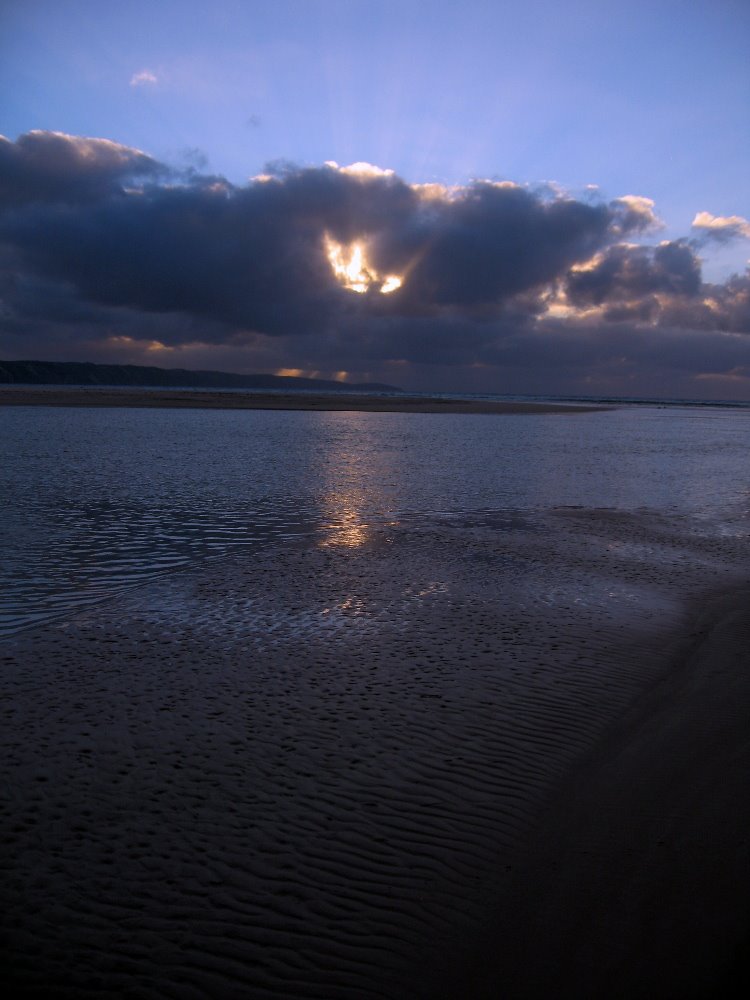
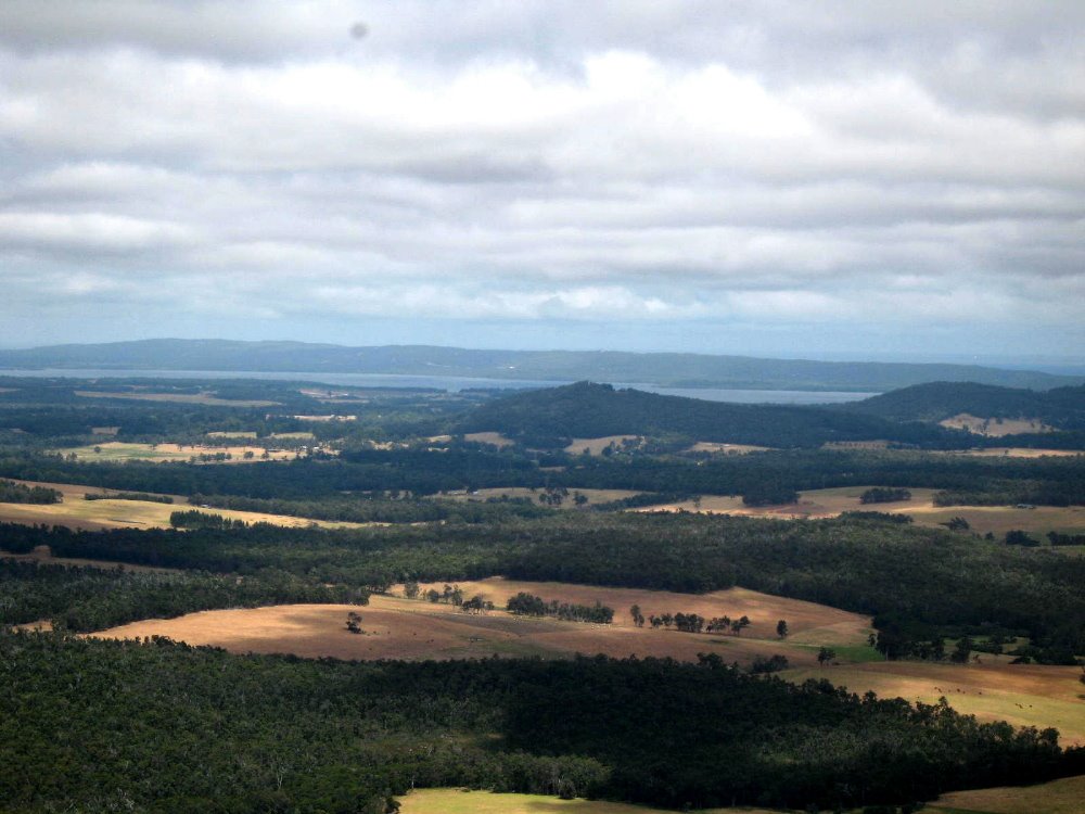
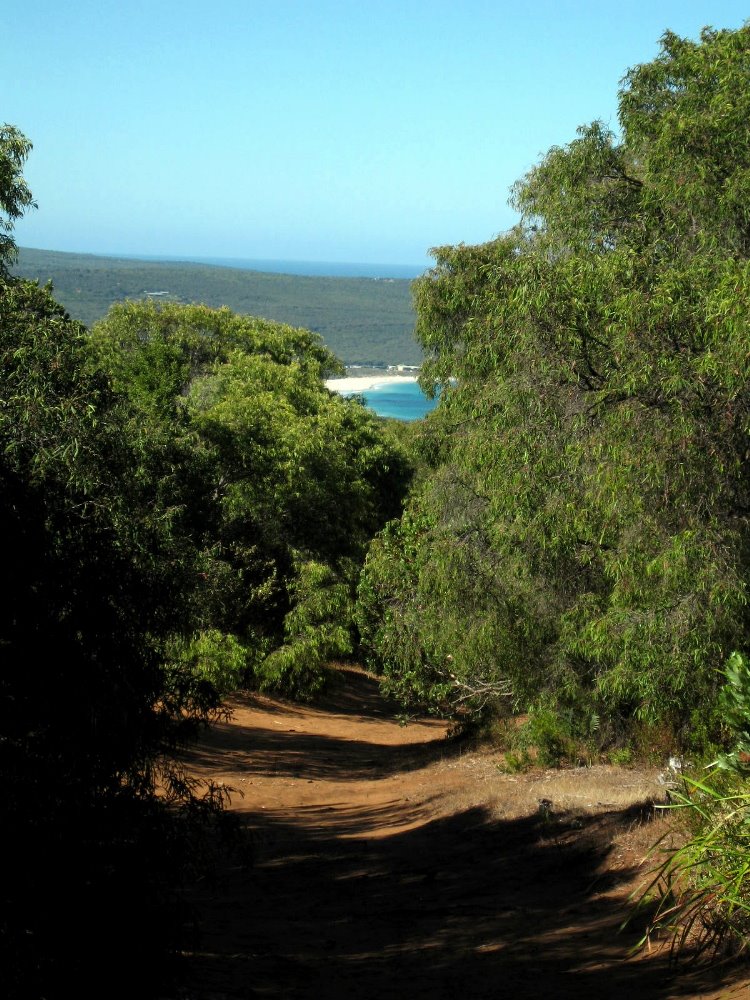
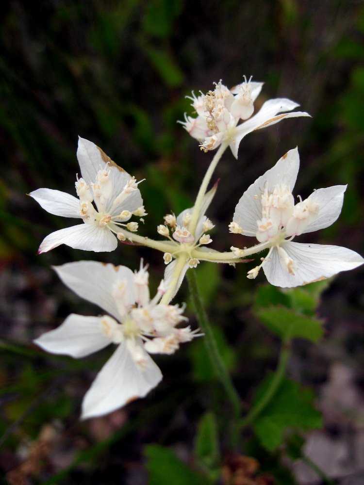
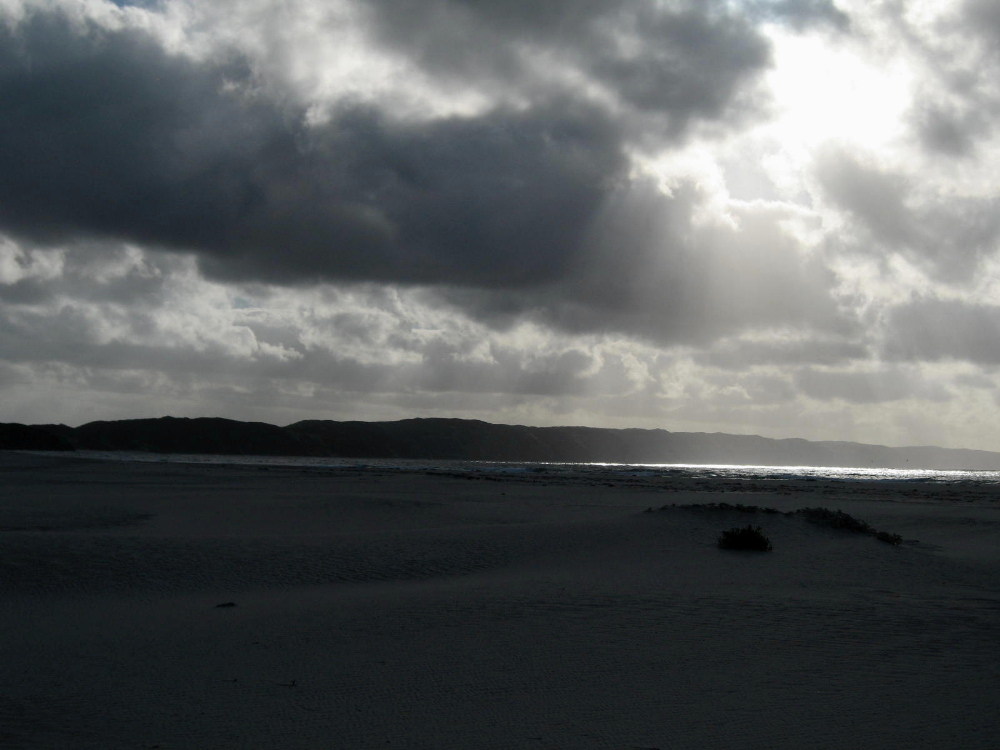
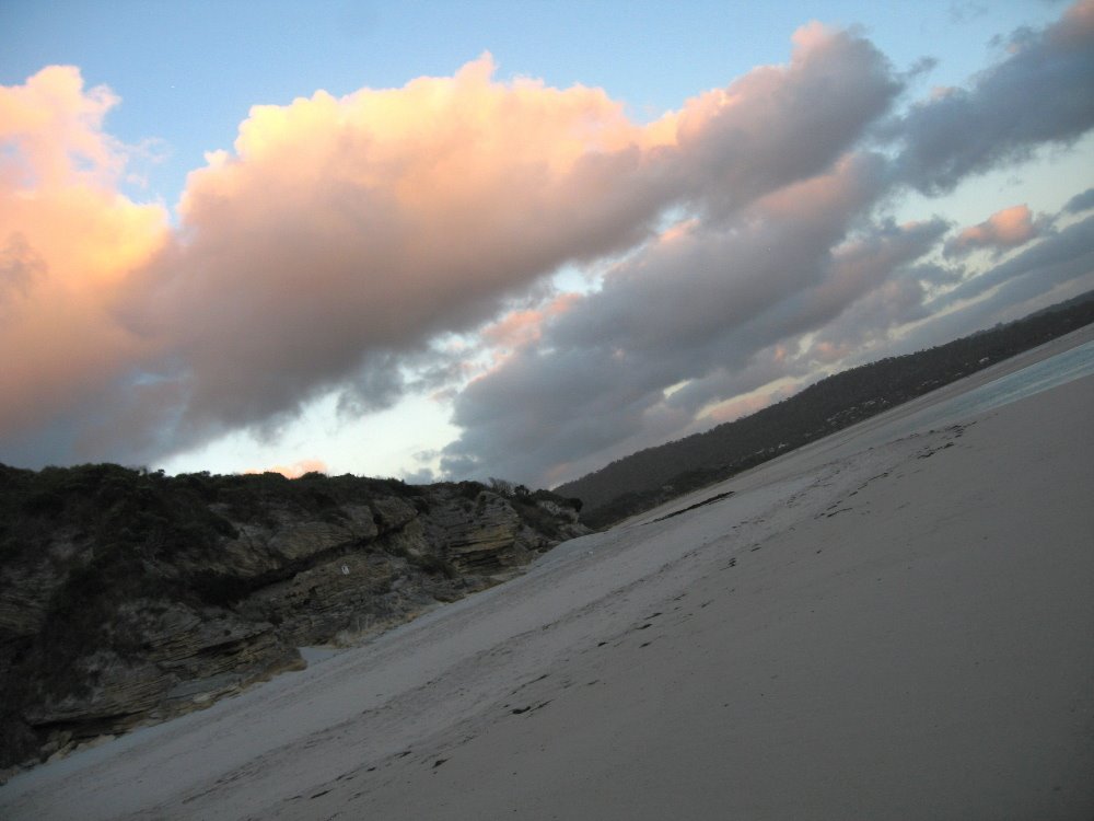
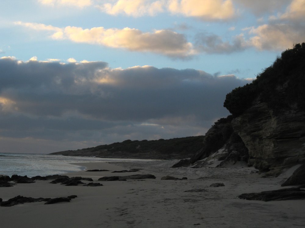
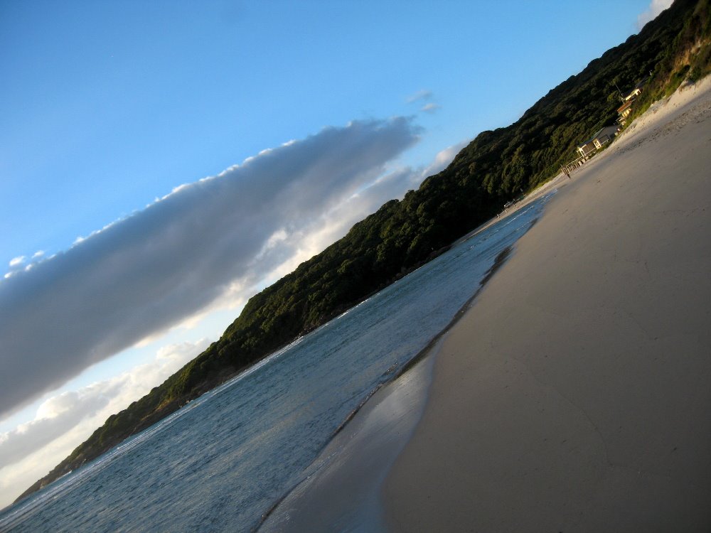
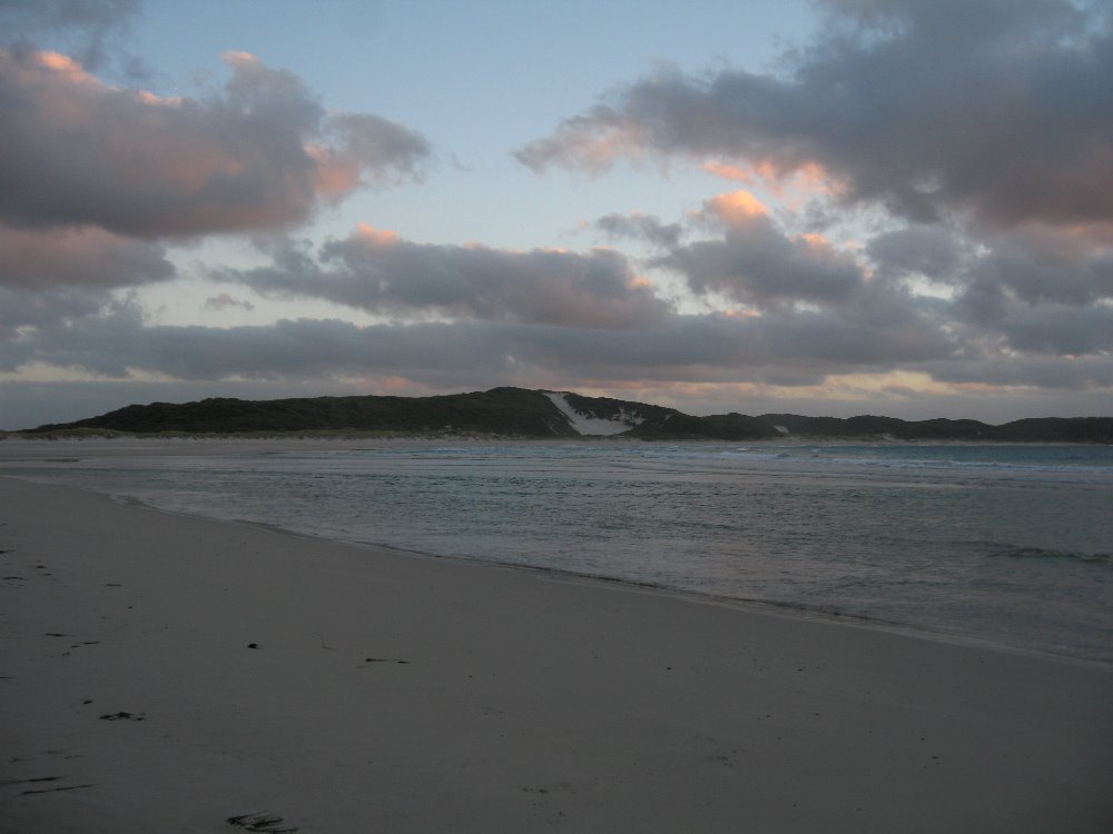
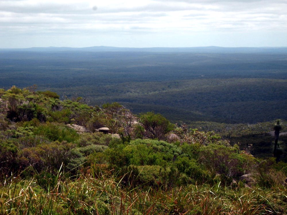
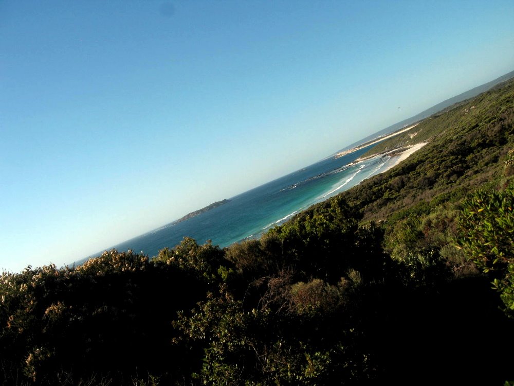
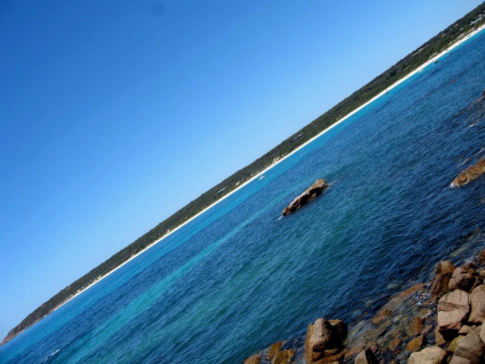
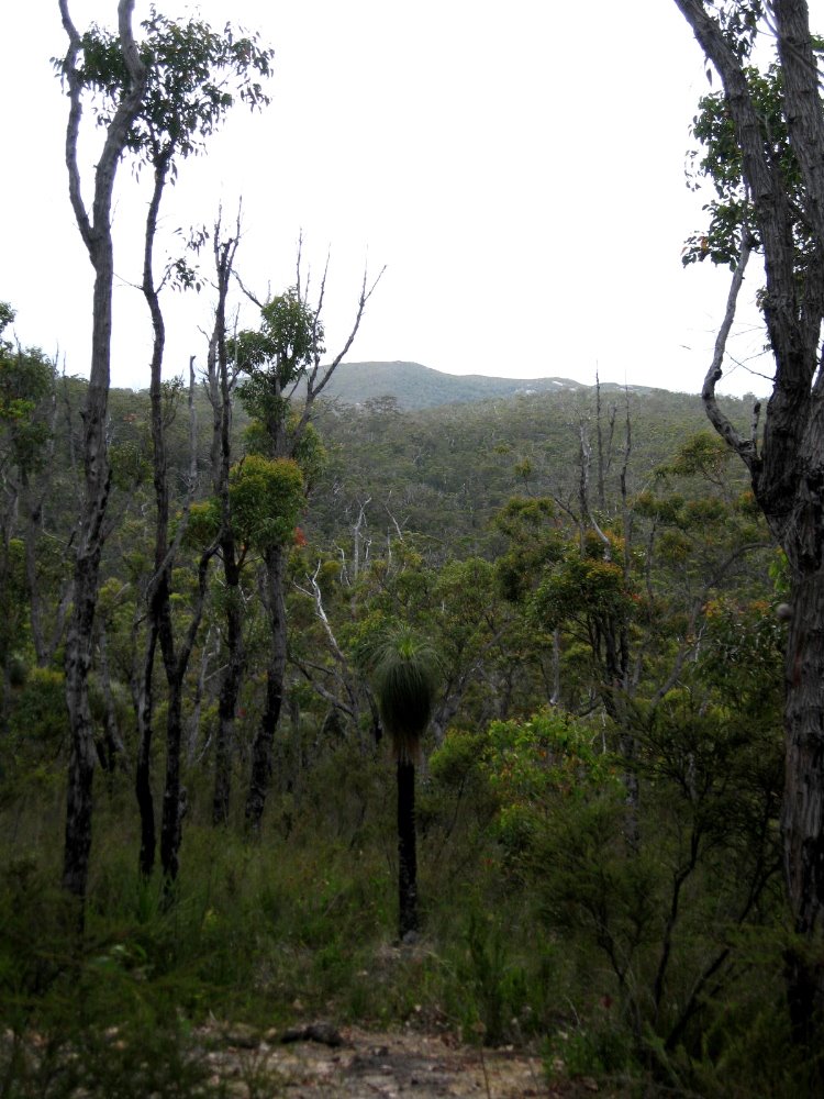
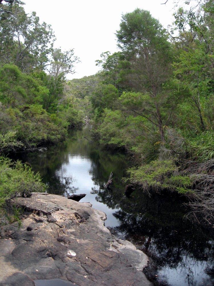
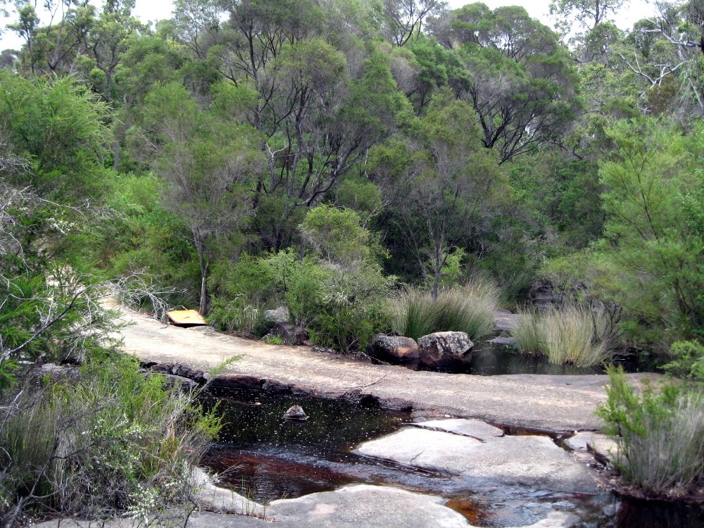
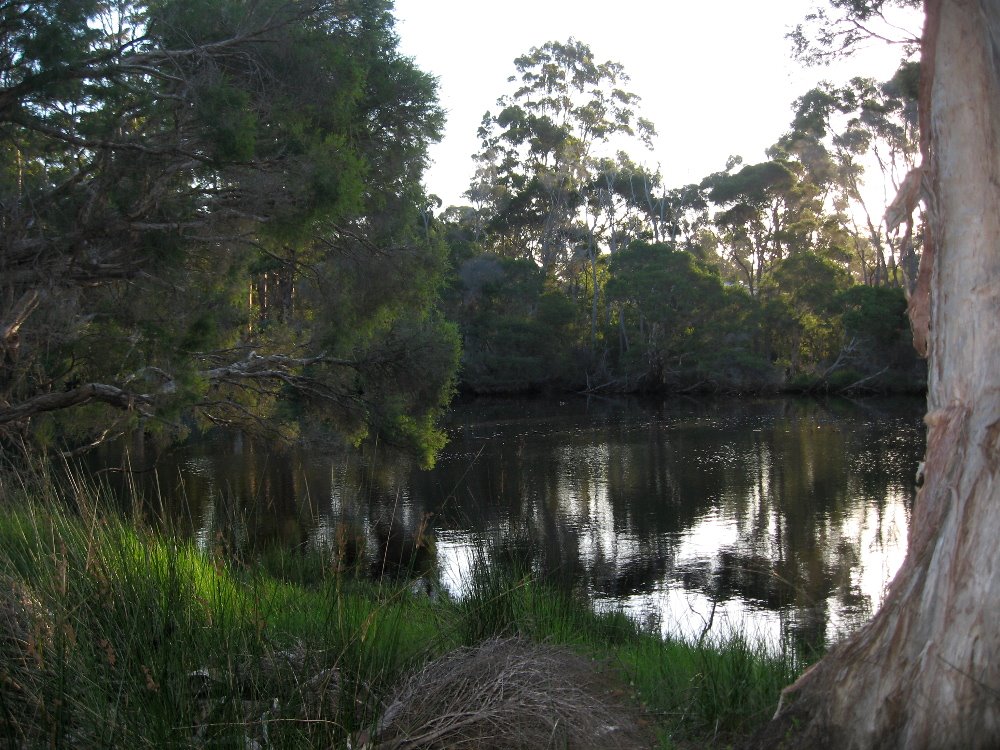
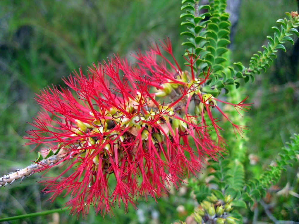
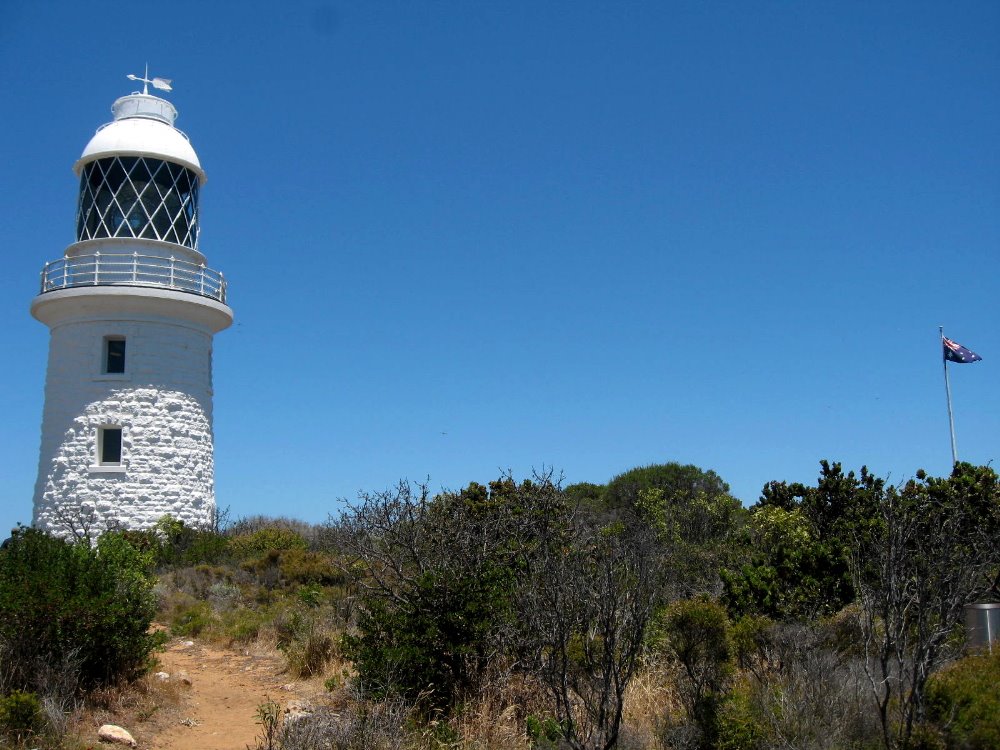
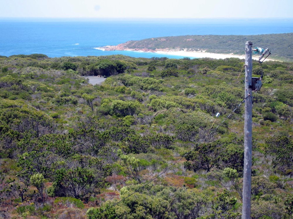
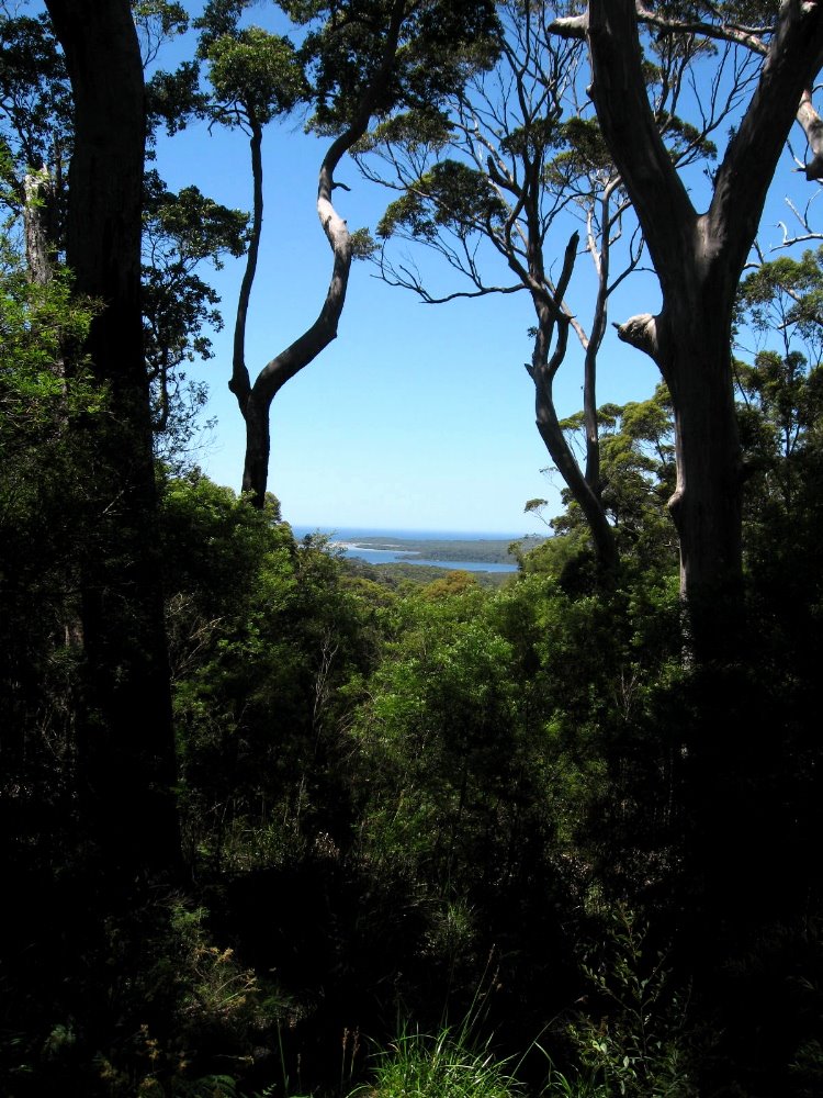
Western Australia is twice the size of Texas, according to the guidebook. I saw only a tiny corner of it, though it’s reputed to be one of the prettiest corners of a varied and wonderful state. Herewith pictures of the Margaret River region, and the area between there and Denmark, and around Denmark and Mt. Lindesay. The day I arrived in Denmark it was, indeed, 42 celsius (over 100 fahrenheit) in the shade.


Pleasant Perth

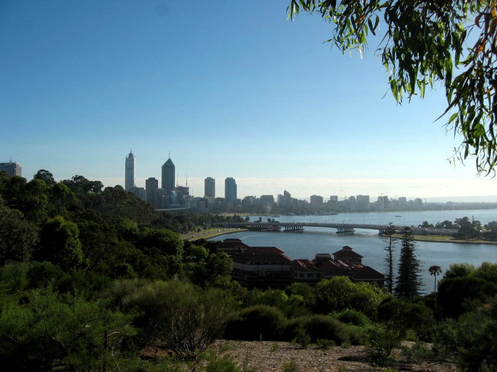
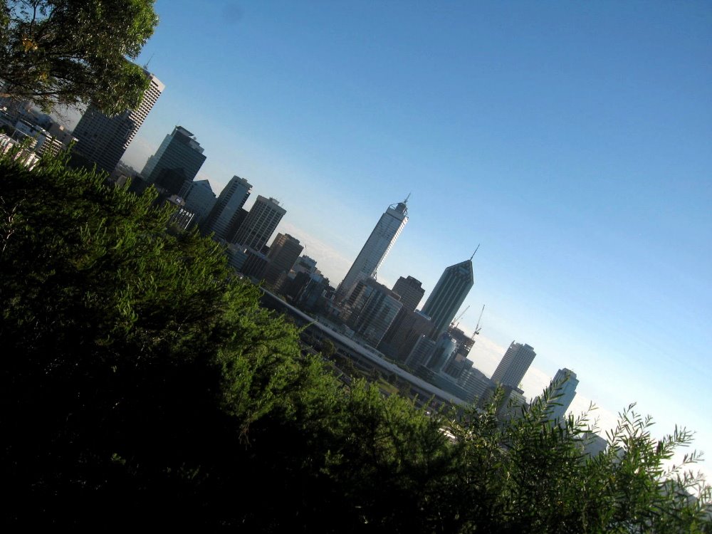
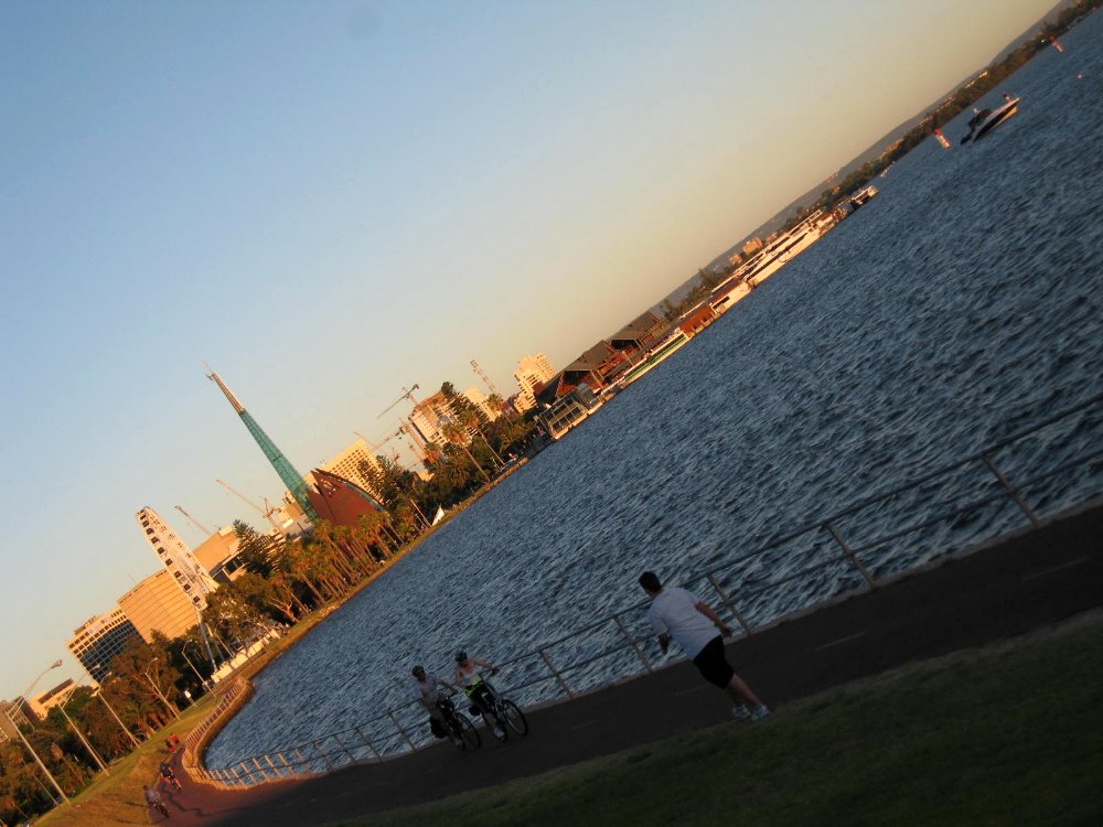
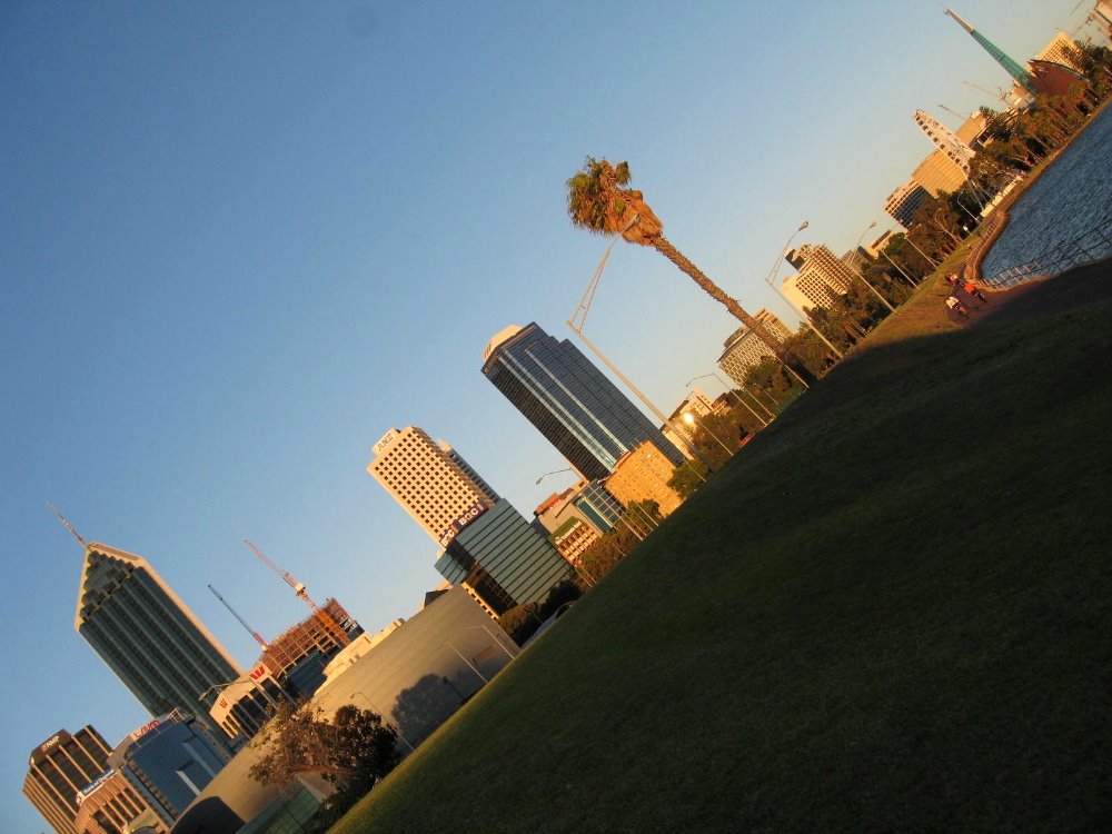
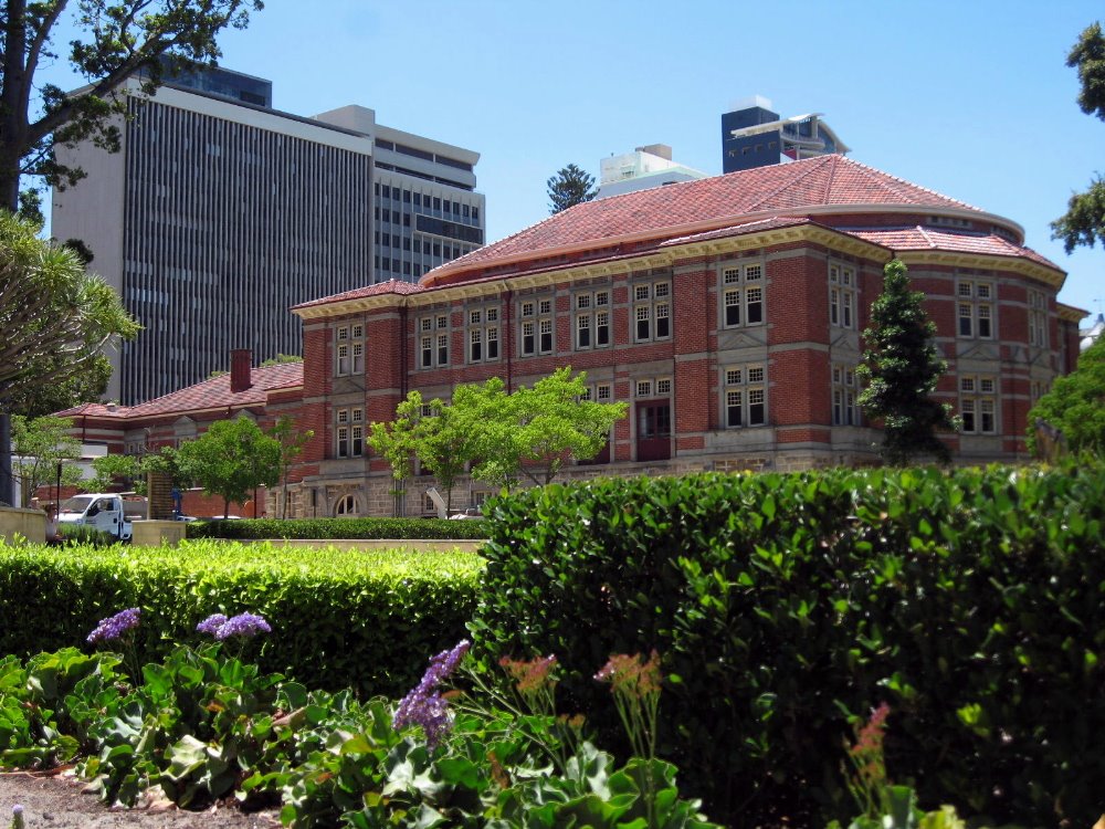
Perth, the capital of Western Australia, sits on the Indian Ocean rather closer to Indonesia than to the large eastern cities of Australia. It’s really quite far from just about anywhere else. And quite lovely, as you see!


…I loved that in the botanic gardens in Perth, plants from the rest of Australia — everything east of Western Australia, which is shown yellow here — are covered in one fairly small area, while all the different areas of Western Australia (admittedly highly varied from tropics to desert to coastal forests and so on) have individual areas.


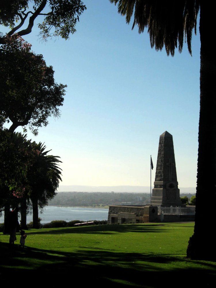
…the war memorial in Kings Park, on a high bluff above the river-bay overlooking downtown Perth. The botanic gardens are also in Kings Park.


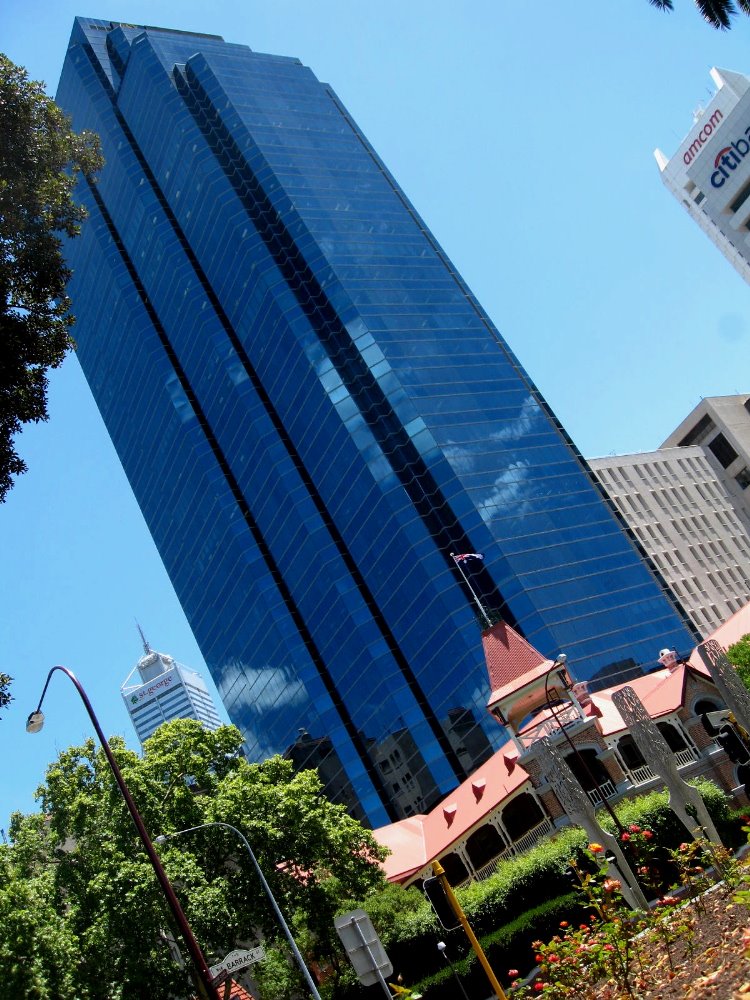
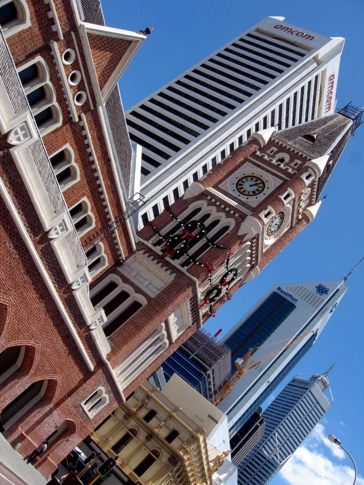
…as you can tell from this and other pictures, I really enjoy the immediate and frequent juxtaposition of fairly traditional brick colonial-style buildings with modern glass and steel skyscrapers. This is a fairly common juxtaposition in Sydney and Melbourne as well, but Perth is a bit more condenses and easy to see it all in than those two cities.