Latest
The Longest Beach
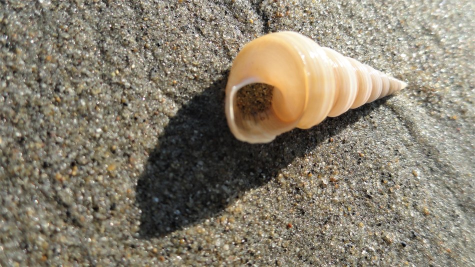
 I’ve been walking the northern part of the beach described locally as “the world’s longest sandy beach.” Since work absorbs much of my time but I love what I see in the morning sands here on this shore of the Bay of Bengal, I’m going to try to post a new photo every day for the coming month or so. I’ve never been the world’s most dedicated blogger, but since I know many of my readers live far in the northern hemisphere, perhaps these little snippets of morning life along the beach will bring you reminders of summer, as your own days slowly grow longer…
Ah, Berlin


It felt like a good idea — now that I can access the blog host site again — to finish off the last photos I planned to post in 2018. This is a sampling of views from a few June days in Berlin, where my brother showed me some of his favorite corners of the town and I got to meet with various colleagues after my time in Central African Republic. Enjoy, and happy new year :-).
Ij, Eye, Amsterdam

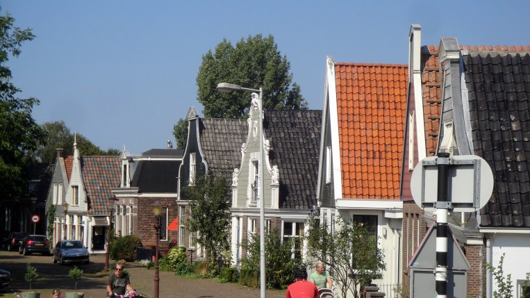
(I need to apologize that this isn’t laid out as I’d wish – the great minds at wordpress have forced us all into a new “improved” editor which makes it impossible, as far as I can tell, to set fixed widths for photos other than an automatic +/- size with very limited options. Stupid, but unavoidable for the moment until either they get smarter or I find a new host. Ideas welcome.)
Clue for you non-Dutch-speakers out there: Ij & Eye are pronounced the same way. 🙂 Also: Ij is the name of a body of water that sits just north of the central train station in Amsterdam. It connects to Ijmeer (Ij bay?) to the east, and the town of Ijmuiden (mouths of the Ij?) to the west, and basically makes Noord-Holland (you guess, North-Holland) a peninsula. What I don’t know is what the natural state of these various bodies of water were before the industrious Dutch traders and engineers started managing the bodies of water within the territory we now know as the Kingdom of Netherlands, back whenever past generations of Dutch people decided they could makes canals and diversions, fill in land, and make it possible for one of the most densely-populated nations on earth to exist and be wealthy with about 1/3 of its territory actually sitting below sea level. (Netherlands tourism’s website tells me the lowest point is 22ft below sea level; highest a mere 1000 feet above.) My point: the Dutch have even engineered the Rhine River. I’m sure much of this was naturally-existing in the river-delta-region that links the Rhine, the Meuse and Scheldt rivers. (I mean, even the un-engineered Niger River becomes a highly complex delta without a clear main “Niger River” channel south of Port Harcourt – just check out some of past entries from the Niger Delta and you’ll see a bit of that.) But what I’m certain of, having now worked with a Dutch headquarters and many Dutch colleagues and bosses for the past decade or so, is that Dutch engineers very tidily and meticuloulsy did what they could to enhance these delta channels, acknowledging that water will flow, but doing their best to channel that flow for minimum disruption to towns, cities, trading canals, etc. The water carried by the Rhine divides not long after entering Netherlands territory, most of its water then flowing west to reach the ocean north of Rotterdam in a few different channels which — so Wikipedia tells me — can be called “distributaries.” The same source tells me that 1/9 of the water volume contained in the Rhine upon its entry into Netherlands territory ends up flowing via the IJssel branch of this distributary network into the above-mentioned IJsselmeer.
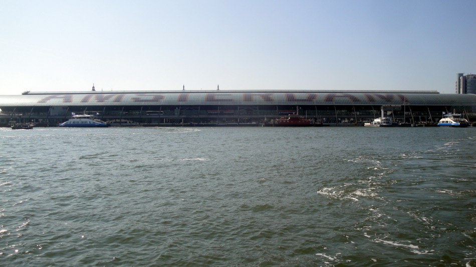
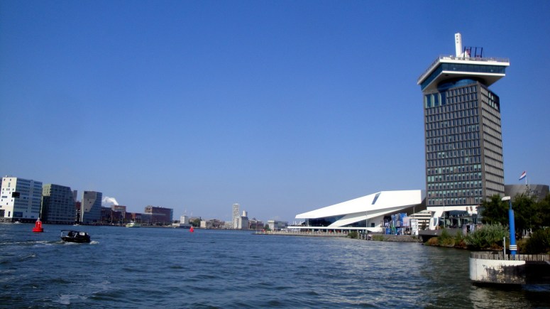 My nerdly point is this: the water in the photo above is called the Ij. It sits between the Amsterdam you may know and love (to the left) and the Amsterdam you may not know exist, North Amsterdam (to the right). North Amsterdam is accessible via completely free ferries which run regularly just off the north side of Amsterdam Centraal station. It’s got a big lovely park. Amsterdam is a very cool city b/c they’ve done such an amazing job of packing it all in and allowing below-sea-level areas to absorb water, recharge aquifers, and hopefully protect the commercial and residential parts of the city from being flooded — all of which means you can see great blue herons and other fascinating birds bumping up against high-rises and train tracks. All very cool. Anyhoo: I did a day trip going out by ferry, back by bus, to this North-Amsterdam part of the city, which in more than nine years of being there before and after each assignment I hadn’t yet visited. The park in particular is well worth a trip. These are mostly from my September trip; some from my June trip, post-CAR. (Such as me in front of my favorite European concert hall.) Enjoy 🙂


Over the River & Through The Fields

 When I first told friends that I’d be working for some months in Cox’s Bazar district of Bangladesh, one of my most world-knowledgeable friends came back with two quick fun facts: a) that Cox’s Bazar has the world’s longest stretch of uninterrupted sandy beach, and b) something more complicated about Portuguese trading from Chittagong port, the word farang, and where Star Trek’s creators got the name for their fictional inter-stellar traders the ferengi. (Clearly, I’ll have to find time to follow up on that particular point since I would not pass the pop-quiz right now…)
Having flown down from Dhaka now more than five weeks ago, and been now numerous times along the road south from the town of Cox’s en route to the southern Upazila (and town) of Ukhiya, I have greatly enjoyed the lovely northern part of this long beach – staring out the window at waves lapping on the shore while listening to my i-pad so as to block out the endless honks of tom-toms, trucks and other cars. I hope at some point to dip further down into Teknaf Upazila and see the full extent of this lovely and extensive beach.
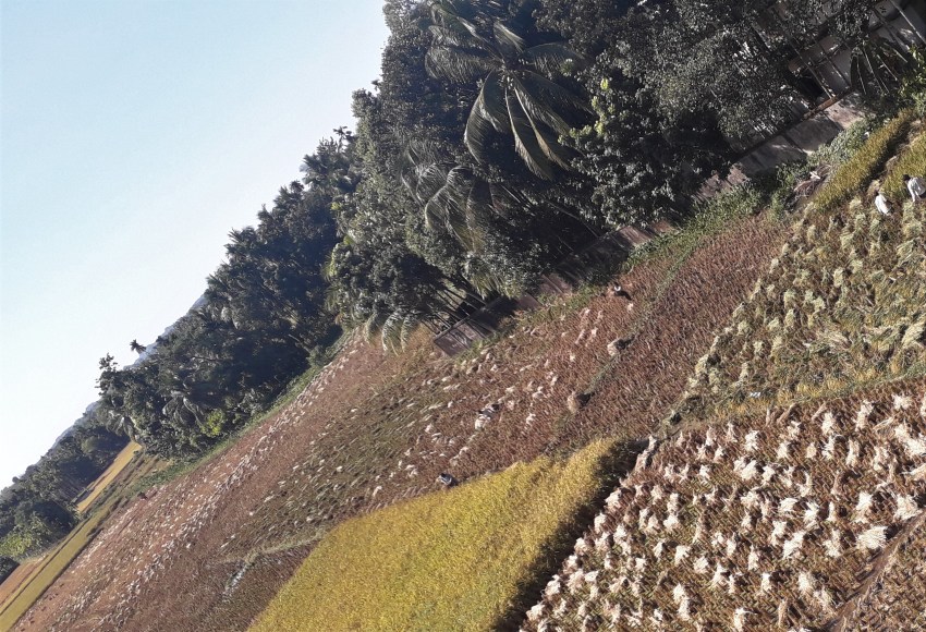
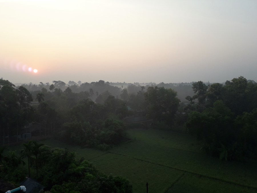
Up here in Cox’s, where I’m spending most of my nights and days just now, I see the beach behind tall hotels of the tourist trade – this being one of the main tourist attractions in BG: see for example the photo of our local river (chock full of moon boats), as seen from the eighth storey of the building which houses our office. Driving south, one passes many moon boats (seen in close-up courtesy of my colleague Hope, and from a moving vehicle while crossing the bridge of this post’s title, in two photos side-by-side just below), then more beach, crosses the bridge, sees more lovely beach, then turns inland past the lovely paddy fields noted in the title and seen both above and below. So…for my friends and family who wonder what I’m seeing day to day – a few shots from recent weeks of the lovelier side of this part of the world. (Plus my favorite street food while shopping, and me at dawn by the paddy fields of Ukhiya town.) Enjoy – and happy December, one and all!


Selections from the Air


You probably know I fly a fair bit, and I’m one of those people who stare out the window of the airplane if there’s daylight. I don’t suppose I’m truly claustrophobic in the classic sense, and I do just fine even in a middle seat if I need to (then I do escape into headphones and the in-set tv screen or i-pad), but I certainly enjoy flying much more when I can look out the window and enjoy the magic of seeing the earth from a different angle. Here’s a selection of photos from three flights I took over the past year – each photo has a name that explains what it is, more or less. Hope you find the aerial views as intriguing or enlightening as I do. And happy thanksgiving weekend, if you’re in the US. 🙂


Autumn Leaves, Snowy Trees & Old Friends
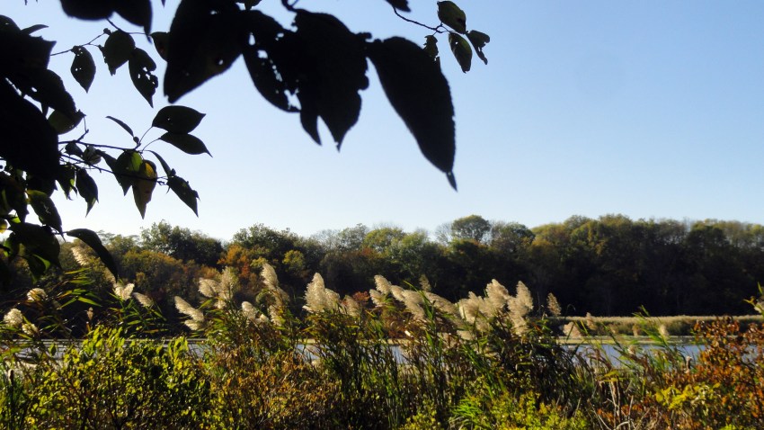 I’m in Bangladesh, doing the kind of work I love – planning to stay for quite a few more months if possible. Even as work occupies and inspires me here, many things draw my thoughts home as well. Next week is Thanksgiving, the most family-oriented of our US holidays — and I’m rather sad to be away yet again on this holiday, even if my vegetarian-ness means the traditional main course doesn’t float my boat. 🙂 My mother expects to start a new treatment the following week. And back home in California, many more lives have been lost and communities harmed by another record-breaking wildfire.
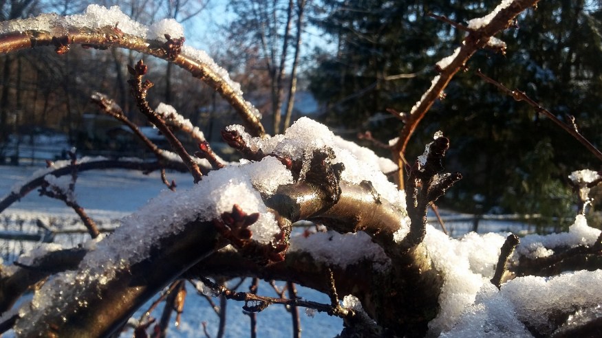
Plus, I already missed Halloween and the joy of watching kids go sugar-crazy… So I’ve sorted through photos I took during the autumn and winter seasons last year, when I was able to spend much good holiday and other time with my family and my friends on both coasts back home. These photos were all taken in NYC and NJ last year in October – December…aside from a few from CT in May 2017, a paean to a loved mentor and friend now gone. Andrew & Tom, I hope you don’t mind…or anyone else. (Tell me and I’ll take photos out if you wish.) Fond memories for me, and I hope you. Much love to you all, this holiday week. Peace, health, human dignity.




Natural, Cultural & Historic Sites of NJ
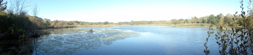
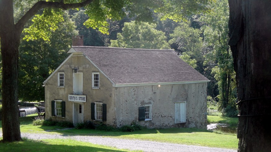
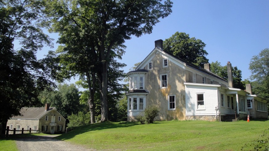
 Honestly? These photos are for my own enjoyment as much as anything else. I’m now back at work in a location halfway around the world (Bangladesh) from where my Mom, brothers, most friends & family are. But these photos remind me of lovely summer jaunts with Mom and anyone else who’s around to join us. Mom’s facing some health concerns, which of course means that my own heart is tugged between the work I love so much here, and the people I love so much there. I will choose to take comfort in these photos and the fact that I’d far prefer to be tugged between things I love, than between things or people I don’t love, and/or who don’t love me :-). The photos’ names should all say what they are: visits to three lovely locations in northern NJ based on Mom’s expression of interest in exploring: a Stickley home and museum, a historic village along a canal with (at the time) revolutionary technology, and an arboretum.







Sonoma County in Video
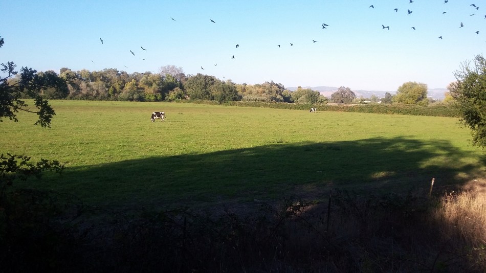
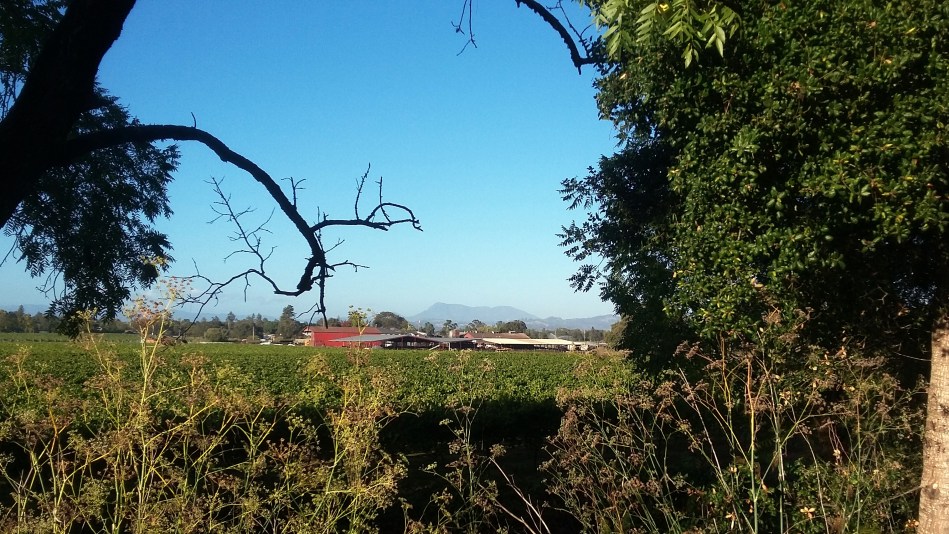 Since I don’t usually have much bandwidth when I’m on field assignments, I never adopted video. Recently, when spending more time at home, I’ve been taking more short videos to show friends a different angle of how I occupy my time when I’m at home here in Santa Rosa. For example: the photo above, taken from the Santa Rosa Creek Bike Trail, was taken about the same place the video below, which shows an egret fishing in the creek. And you can see me biking up and down the trails a bit, courtesy of another biker who agreed to do the video. There’s also a video of an evening street fair with its band, last December…and rain dripping down the bark of a tree as I walked my neighborhood one rainy day last year after my surgery. Hope you enjoy :-).
Vistas, Bridges & Buildings by the Bay
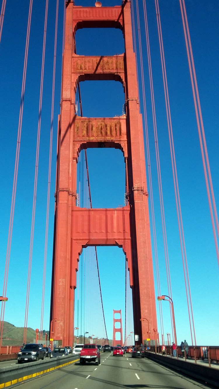
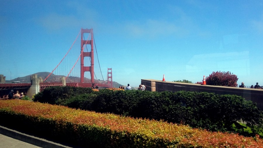
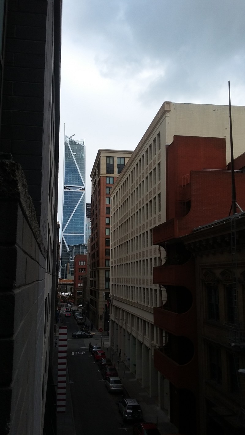
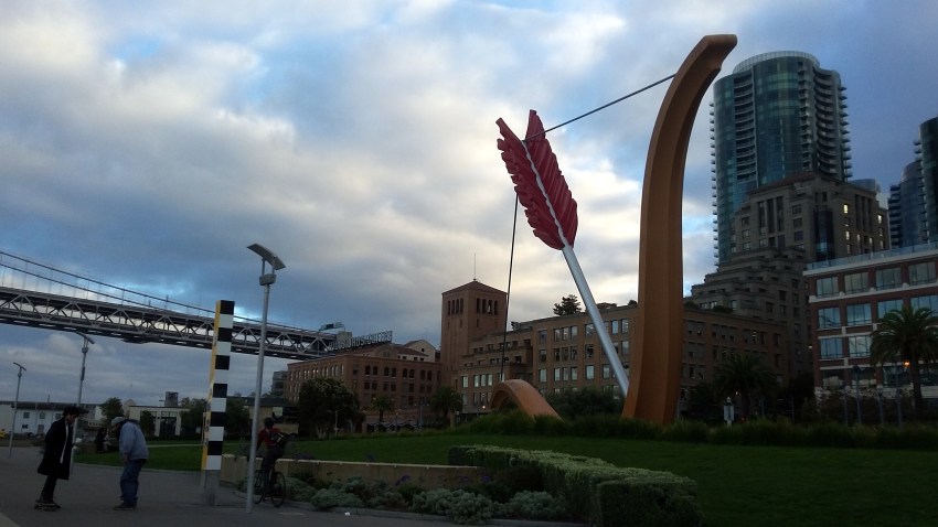
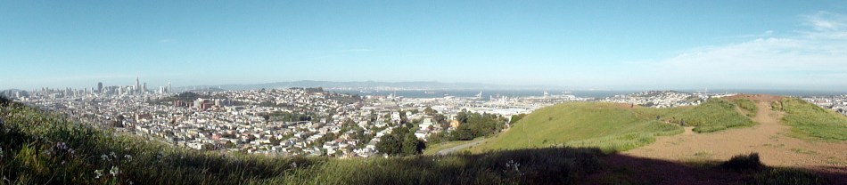
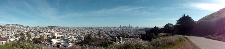
 Each of us resonates particularly to some kinds of beauty more than others. I’m naturally drawn more to wilderness and natural areas than to cities, as you can probably tell by all the natural-world photos that occupy these pages. But I do find the combination of hills and abundant water, with densely-packed urban centers featuring tall buildings and dramatic bridges, interesting architectural features and urban parks quite compelling. San Francisco has all of the above in abundance. Now that each of my assignments begins and ends with flights from and to SFO — now that each trip back to my own home involves crossing the Golden Gate Bridge and seeing many of the views you see here — I find myself collecting photos two or four at a time, whenever I visit the city for a concert or lunch with a friend or just a trip to or from the airport. This post is full of my miscellaneous photos taken in such trips over the past year or so. As I prepare to head out for another assignment far away, some photos of my home region to enjoy while I’m away. 🙂 If you’re curious what’s shown in any of the photos, by and large they will have names that are descriptive.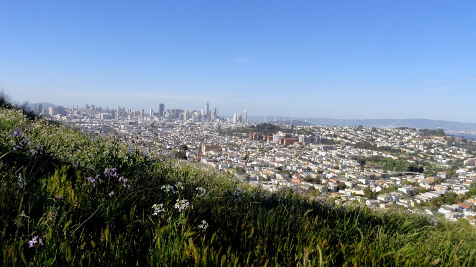





Footloose By Oslo’s Fiord
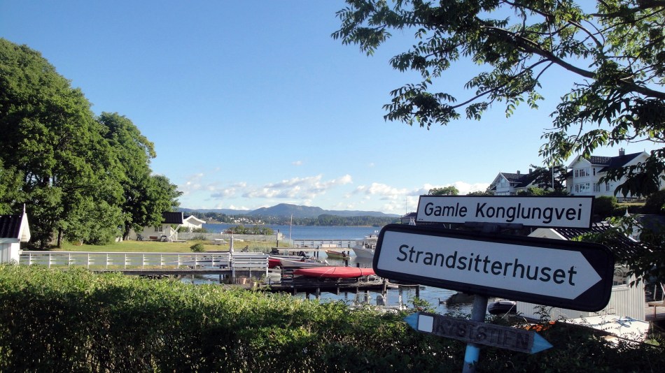
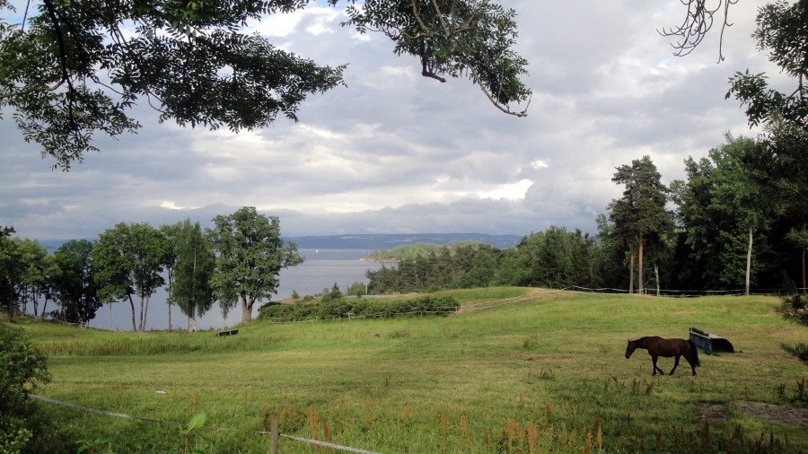
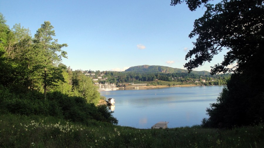 In June I had the great good fortune to spend four nights and most of five days in and around Oslo, at the top of a long and lovely fiord in southeastern Norway. The training which was the purpose of my visit took up all of three days and nights in a small town east of the main road along the twisty-turny fiord, about an hour’s bus ride south of Oslo itself. This I know since I took the bus in twice in order to enjoy Oslo. Photos from Oslo itself went up on this blog first, a few entries ago. This time I’m showing you where I walked each morning and evening, before and after lovely days with colleagues in rather intense and fruitful training. The training site and hotel was just next to a few nature preserves that occupied much of a peninsula jutting out into the fjord, meaning we had many kilometers of walking trails dotted with a few small villages and farms, literally right out our door. Anyone wanting night life would have been deeply disappointed. Myself, urgently needing peace and space to integrate what I was learning and to rest from a few hard months of intense work…well, I took full advantage of the 20 hours of daylight for two long walks each day. I hope the shots give you some sense of how lovely and fun it all was! 🙂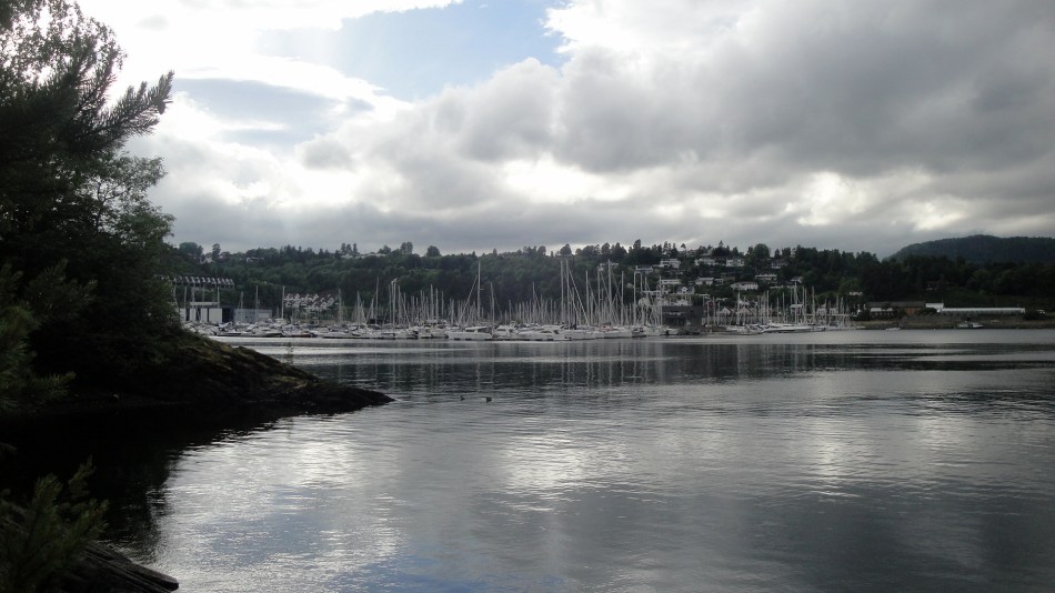




Last Year’s Fire Line
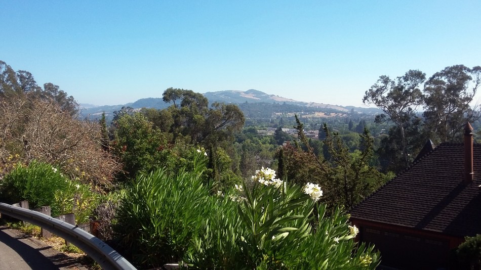
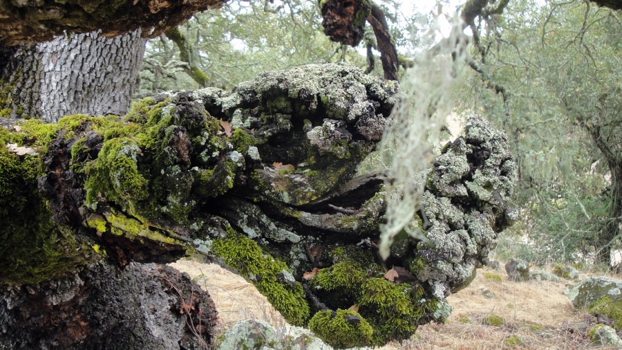
 For many reasons I’ve been thinking about balance lately. Health and illness, birth and death, creation and destruction. My personal friends know I’ve had a fairly serious illness myself this past month, coupled with some fairly significant health issues affecting close family as well. And here we are nearly upon the one-year anniversary of the first outbreak of deadly wildfire which destroyed so many homes in my own community of Santa Rosa just a year ago. Recovering my own physical health at first involved avoiding much physical exercise, and now involves steadily allowing my stamina to build back. One way I’ve done that is to go hiking again in our local state park, where a second wildfire, coming from the south of Santa Rosa instead of the north of Santa Rosa, also destroyed many homes and lives at nearly the same time. Our rainy season here usually begins some time in October: last year, the first rains came later in the month. This year, we had an inch of rain last week and this allowed the moss to green up again on a stone I’ve been watching and photographing since the first time my normal trail in the park was reopened three weeks after last year’s Nunns fire was declared controlled. That stone is shown in the gallery below, with the most recent photo first and working backward. Date of the photo is indicated in format yymmdd, if you’re curious.
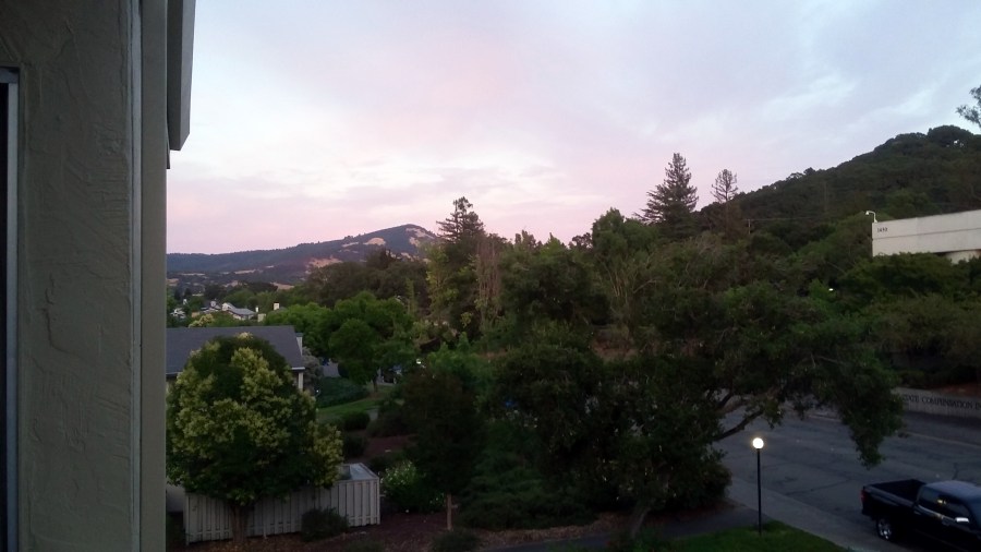
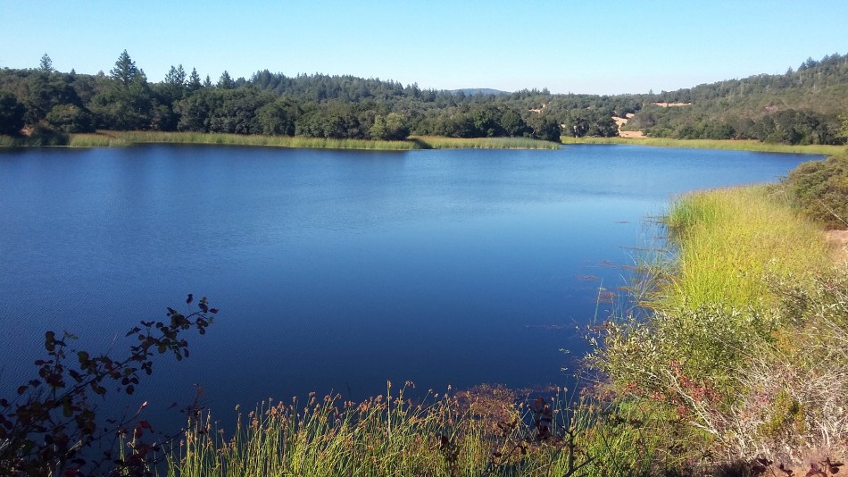
With a good friend I also drove up and over the hills to the north — hills from which this panorama shot just below, which looks south,was taken — there’s a major road across the mountains there along which many homes and businesses were destroyed in this week last year. There is some rebuilding happening and many lots cleared and seemingly prepped for rebuilding — just as a small tree in the second gallery, which last year was burned, is putting out a second season of new leaves now. You might need to enlarge some of the gallery photos to even see the burned parts lower down: the scars all across our landscape are already fading compared to what they were a year ago, though the vacant lots remain quite visible and the scars in the community and landscapre are certainly real. I feel fortunate to live in a community which came together in mutual support when faced with such challenge and destruction. I hope our human family more broadly will find constructive and healing ways to bridge our sometimes seemingly unbridgeable divides, on a larger scale and for a longer time. Balance, moderation, and an honest acquaintance with global realities seem quite necessary for longer-term health and survival of our planet and species, from what I’ve seen and experienced around this beautiful complicated world we all call home. Peace – health – balance.




Upstate in Autumn
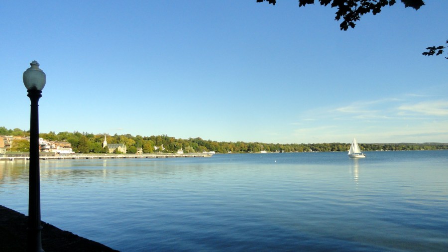

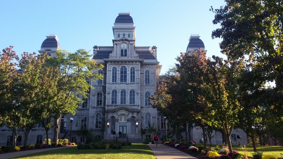
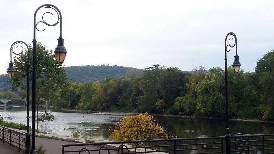
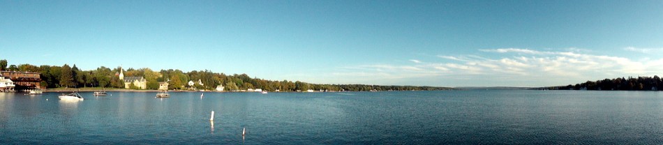
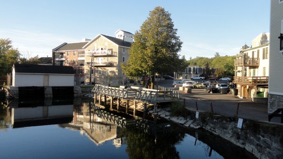
First, full disclosure that these photos were all taken in the autumn last year, not this year. 🙂 Since I didn’t post them right away last year — too busy with family and personal health stuff, plus chronicling the fires around my home out west — I decided I’d post them as the autumn months returned, this year. In this post are many photos taken in and around Syracuse and Skaneateles, in the northern region of New York State known as the “Finger Lakes.” You’ll also see a few photos taken as I walked around Binghamton, in central-southern New York State at the confluence of the Susquehanna River with its lesser-known tributary, the Chenango. I imagine Binghamton was an important manufacturing town and transit hub in earlier eras, although I admit I do not know its history in any detail. I went to Syracuse for an excellent seminar at Syracuse University’s Maxwell School; and I passed through Binghamton with extra time awaiting a connection, during the bus journey from Syracuse back to visit my mom in Northern New Jersey. It’s certainly true that Syracuse is a lovely city whose past – a key city on the all-important (in the 1800s) Erie Canal – was more economically robust than its present. Those seeking explanations to my homeland’s current highly-divided political climate might well find some explanations in such towns as these, and the changes in economic models represented by a former Erie-Canal hub town as compared to, say, Silicon Valley where there are many ideas but very little actual manufacturing. For what it’s worth.
You’ll notice I was particularly taken with vistas of lovely Lake Skaneateles and the village of the same name, situated at the northern end of this long beautiful “finger lake.” Enjoy!





Midnight Light in Oslo
 Each time I return from an assignment to the kind of country where such things as paved roads, existence of & respect for traffic lights, and public water supply that’s free from unwelcome microbes are taken for granted, it’s an interesting shift in my own perceptions and expectations. The question friends most often ask about each new assignment is “what’s the food like there?” I remember asking a similar question, before I started working in resource-poor settings, of a friend who’d gone with Peace Corps to Togo a few decades ago. He answered with a basic truth I’ve come to understand viscerally – that food in the sense of a cuisine that you’d want to talk about, write home about, or visit a country for, is the preserve of nations with a history of sufficient social stratification & wealth concentration to allow at least some people to consider food as pleasure, not simply hard-won necessity for survival. Two hundred years ago (heck, probably one hundred), most residents of Europe and the US very rarely had the chance to take pleasure in food, more than just ensuring enough to survive. Although extreme hunger is globally reduced, still hundreds of millions of humans devote a lot of their days to just finding enough food for their kids and themselves – many concentrated in places where we work. (Here’s a quote from the WHO’s page covering malnutrition: Around 45% of deaths among children under 5 years of age are linked to undernutrition. These mostly occur in low- and middle-income countries. At the same time, in these same countries, rates of childhood overweight and obesity are rising.)
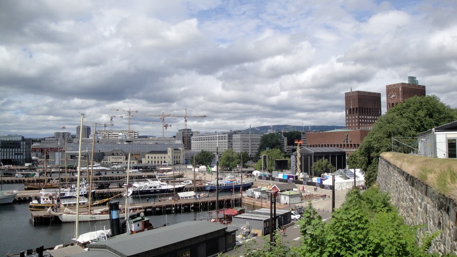
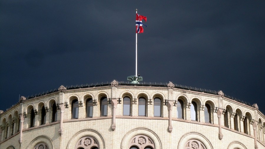
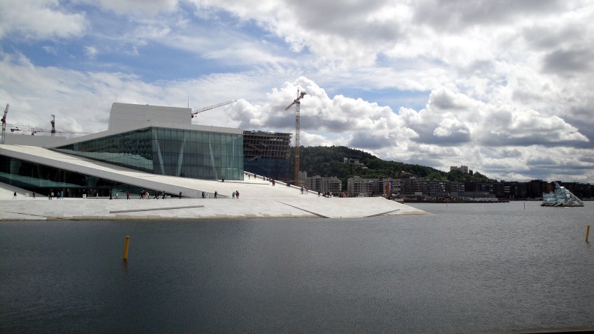
The same applies at national scale to investment in public architecture and parks, bridges that are beautiful as well as functional, streets which are clean and free of potholes or, in the case of many countries I’ve visited, even paved at all.So my senses greatly enjoyed a training visit I was able to make to Norway shortly after the end of my assignment in Central African Republic. Oslo is a gem of a city situated among gentle hills at the top of a long fiord, with abundant public sculpture and lovely architecture such as the parliament building (above) and the opera house as centerpiece of an ambitious waterfront urban-redesign effort (below). Since I enjoy art and architecture, I appreciate when governments and societies are able to invest in making them available to the public, not just hidden away in private residences and collections. The training was only three days – but since daylight was very nearly 24 hours each day, there was lots of evening time to explore along with some travel-day time before and after. Photos of specific buildings and such will usually have a title that says what it is. Enjoy these photos!


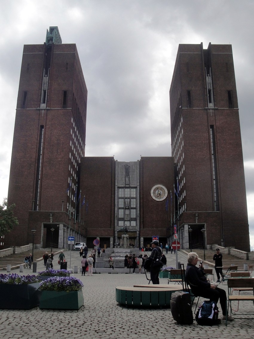


The city not only has abundant public sculpture and art but also some great museums. I think I’m allowed to post the photos above with I took at the National Gallery — Norway’smost famous artist’s most famous painting, though I’ll admit I actually found the other paintings I photographed more emotionally and visually engaging, if less dramatic. And I learned about a new artist, Gerhard Munthe, through the special exhibit of his work. Despite being a fairly populous capital city with a long history as port and harbor, Oslo still has a lovely little river that cascades down through the heart of it, and many public fountains as well. I walked along the river or enjoyed the fountains on the long evenings as much as I could :-).



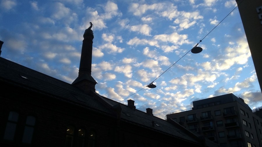
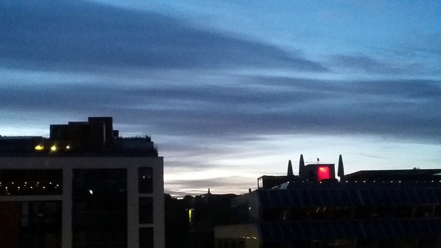
This photo of clouds against a darkening blue sky was taken just after 21:00 (9pm) on June 20th, while the next shot of a dark-ish sky over buildings was taken just past midnight. Fun 🙂