Latest

Honiara’s Lovely Harbor & A Bit o’ History


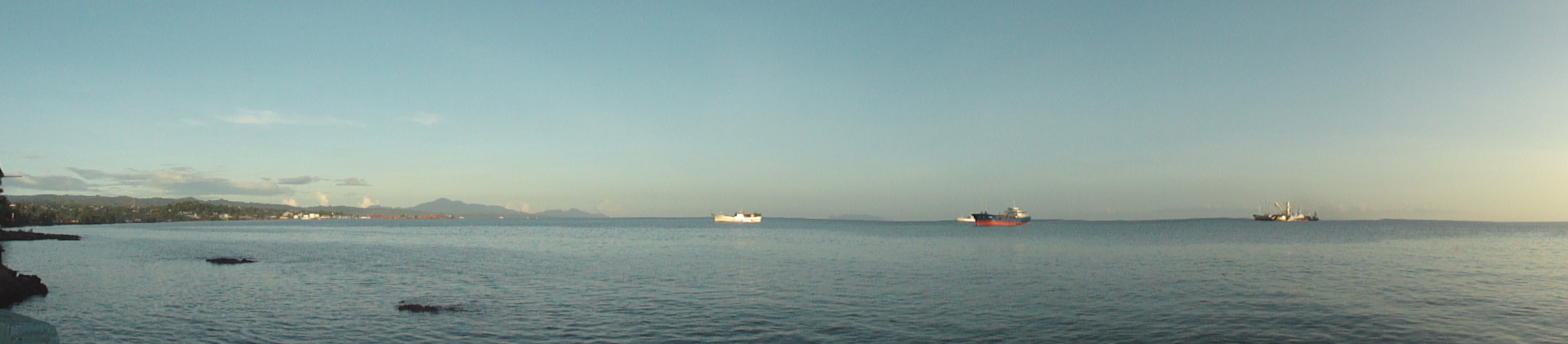
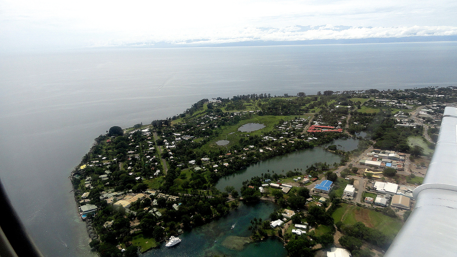
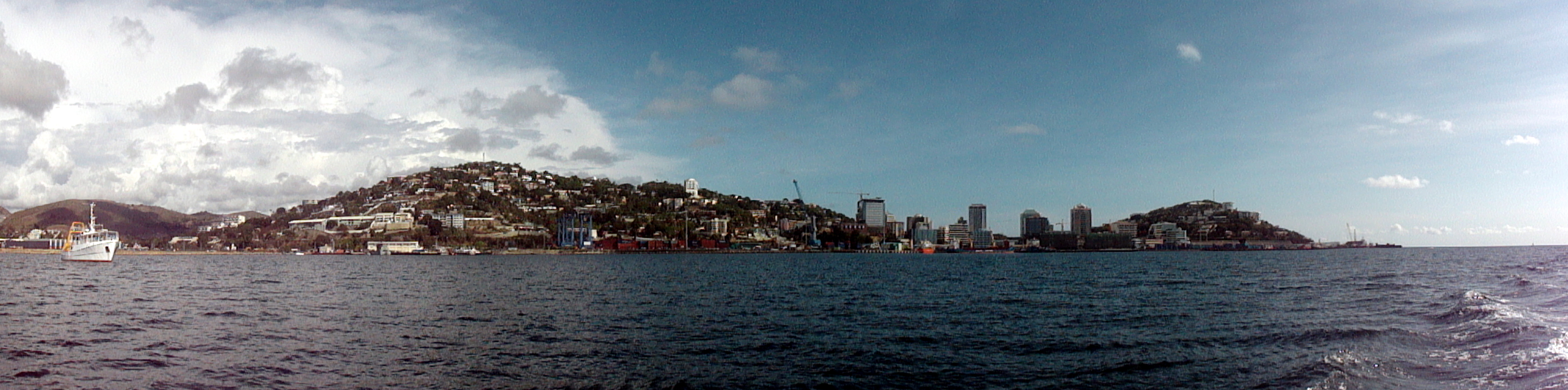
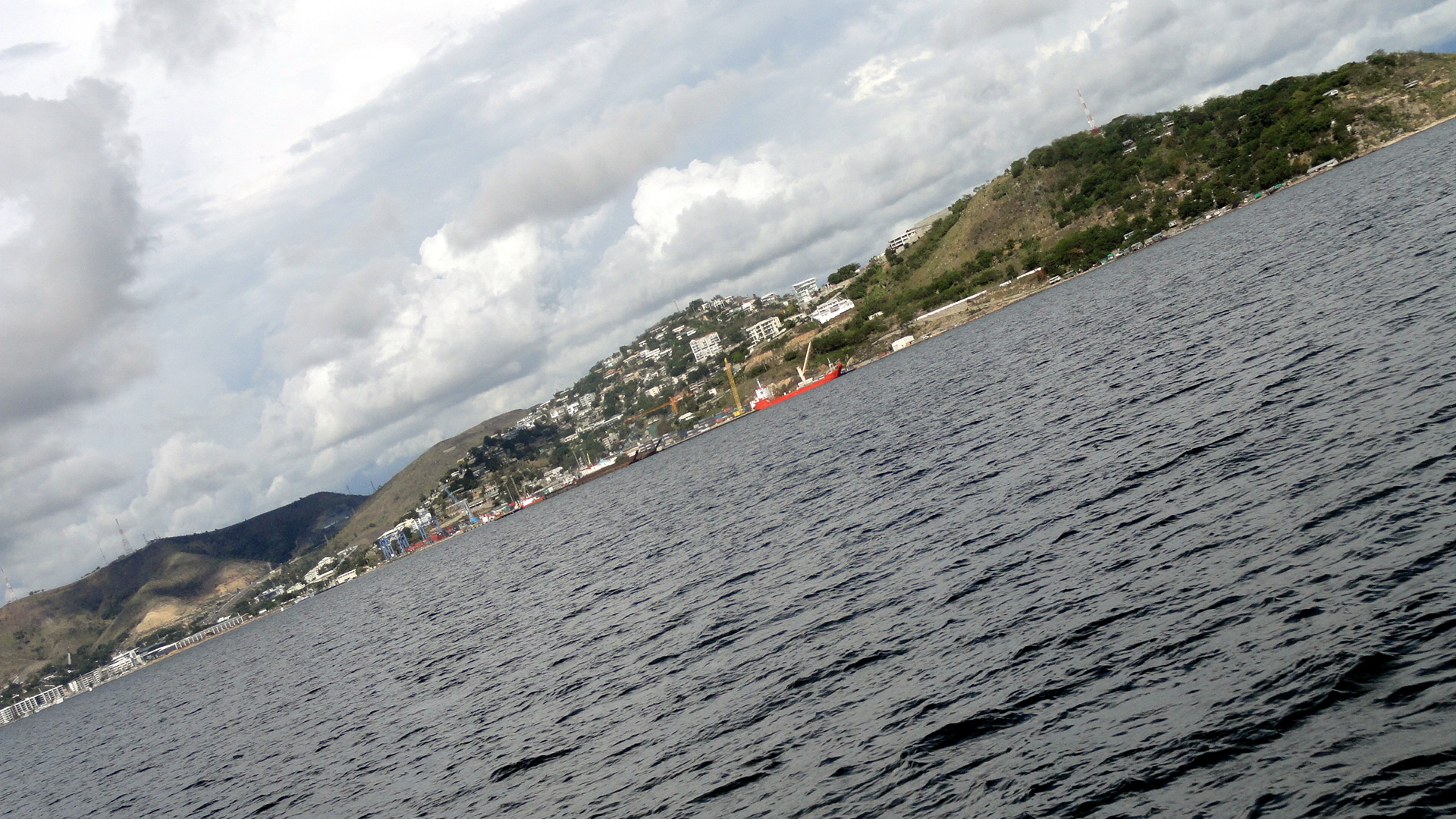
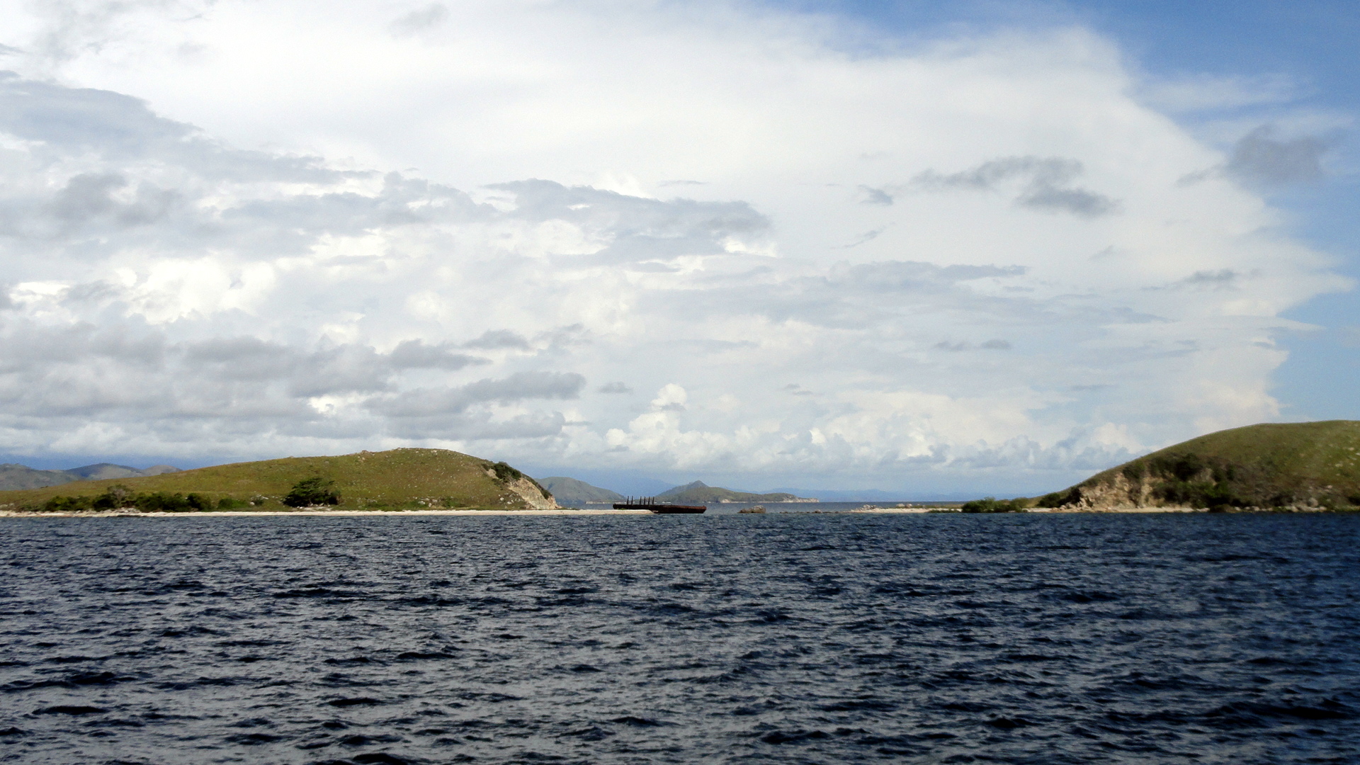
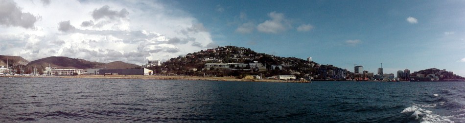
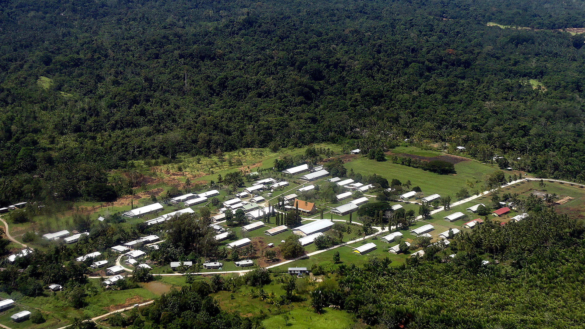
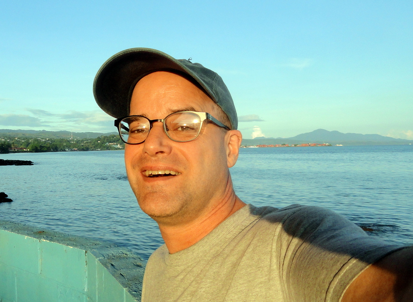
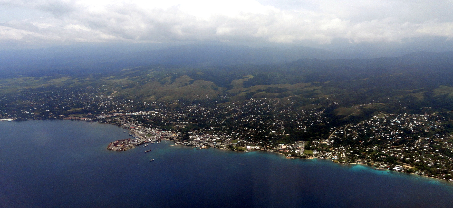
Selfie w Honiara Harbor Sunrise - Pano Honiara from the AirSo four weeks ago today as I post this, I was flying from Port Moresby in PNG to the lovely hillside harbor you see in the photo just above: Honiara, capital of the Solomon Islands. We’re hoping to do some work there similar to the work we’ve been doing for years in PNG, and that of course would be the reason I was flying over. But since this remains as always the blog about my own personal observations of the places I find myself in around this world, we won’t talk about  that. Instead, we’ll talk about all the lovely Pacific-Island sculpture to be seen in the National Museum’s courtyard, and about the importance of the airfield where I landed in the history of WWII. Yes indeed, 71 years before that shot above was taken, it would have been quite impossible for a non-military plane to fly past; and any plane flying past would have faced a scary battery of defenses set up by the US and Australian military when they landed here in August 1942. More about that a bit lower down. For now, isn’t it a lovely harbor? I found it to be quite a warm and friendly place – a bit more mellow and smaller than Port Moresby.

smt, slt reminds you that when we try to do nice things with photos such as make them smaller and larger or shift them left or right, this blog is best viewed in something other than firefox or i-explorer: we find chrome works best on windows-type machines.

Honiara Bay from HotelHoniara Port, Wreck, MountainsNational Museum
Sunrise at Honiara Guadalcanal HQ

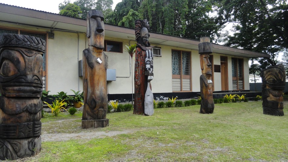
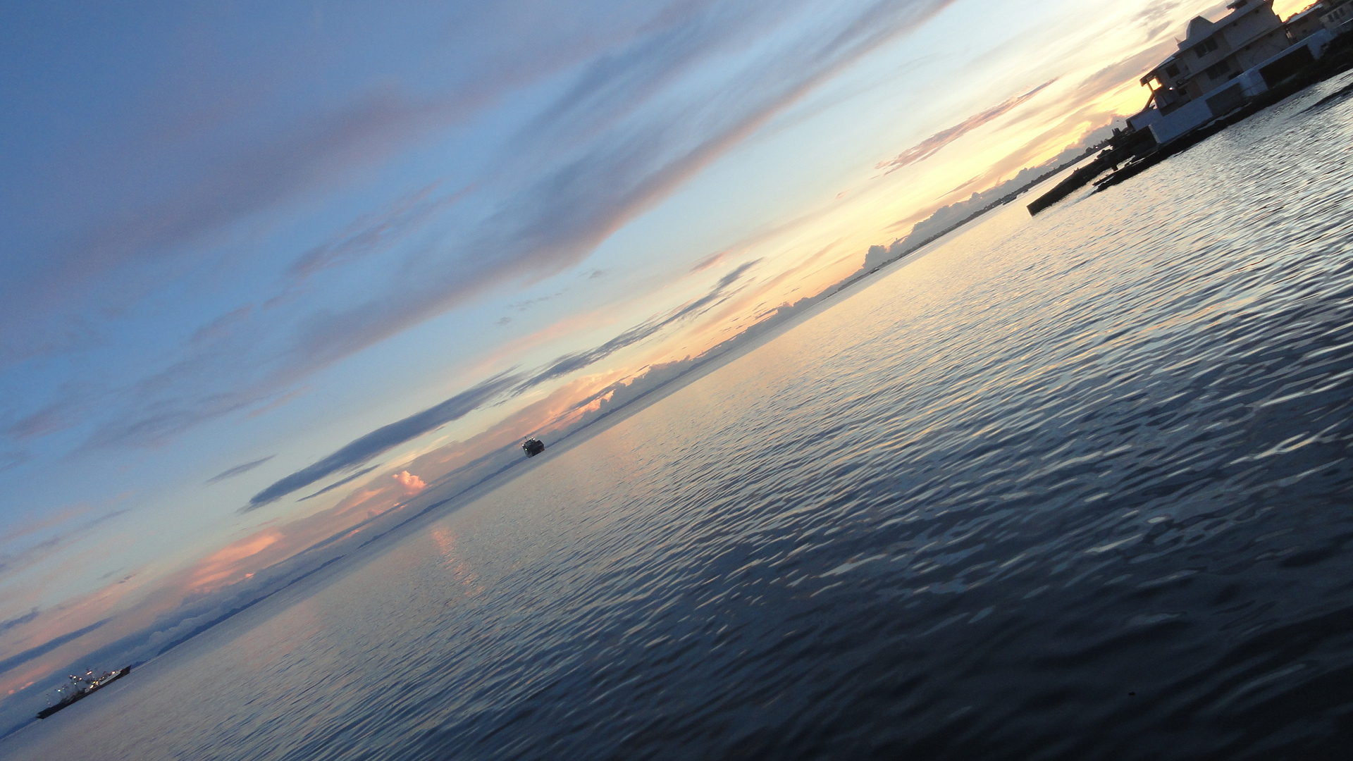
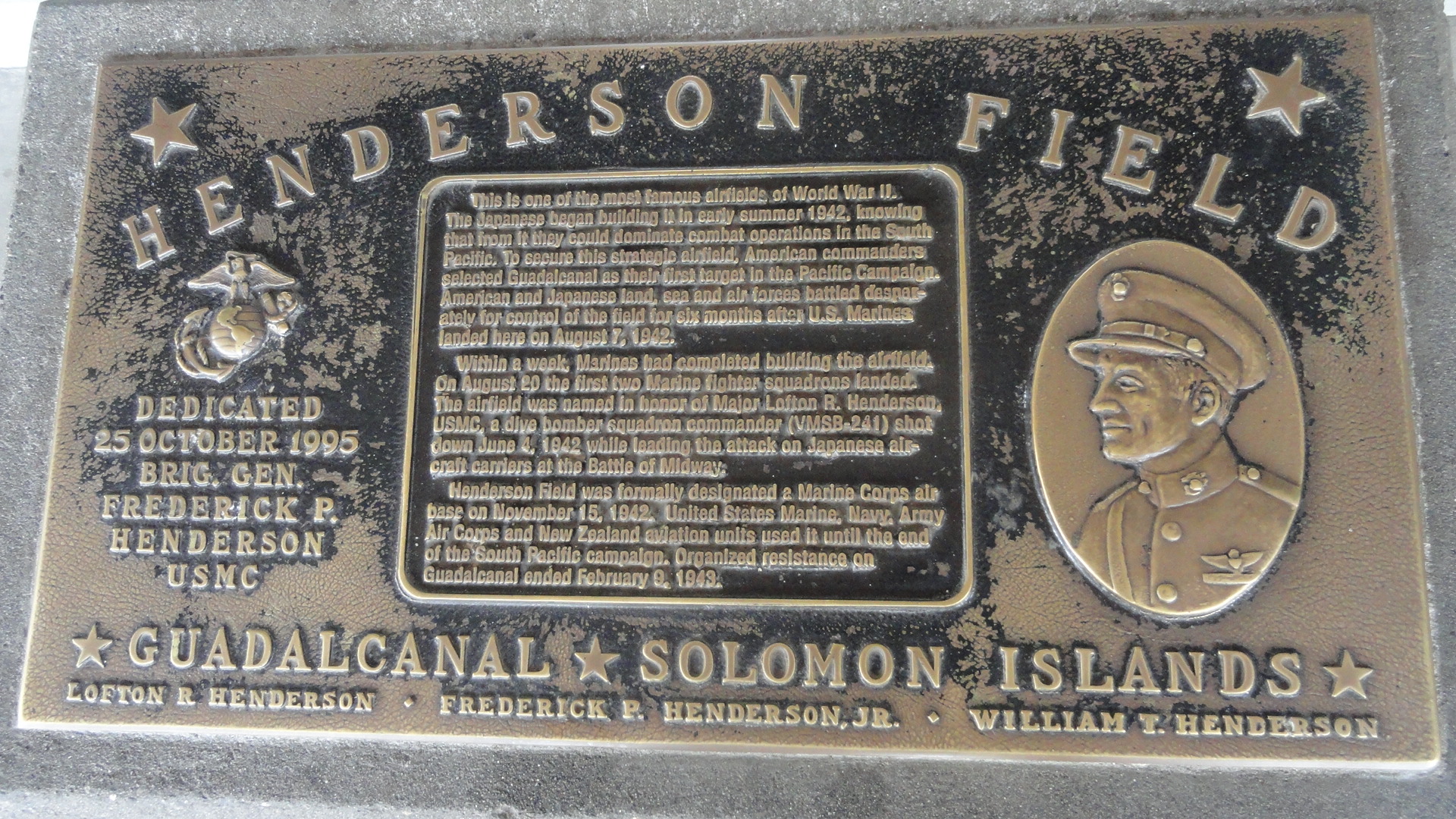
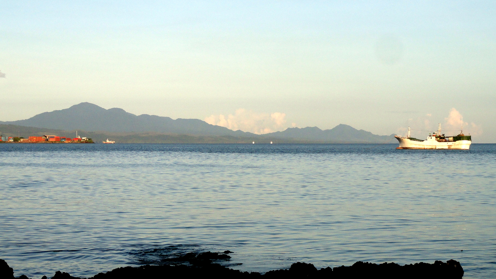
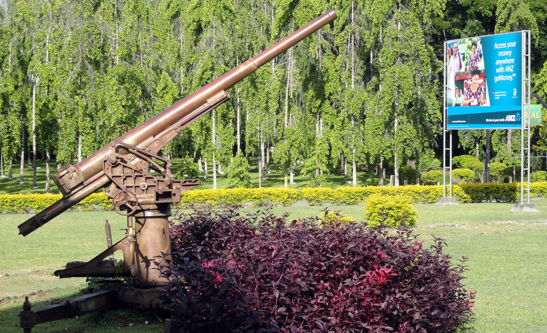
Above, sculptures in the courtyard of the National Museum in downtown Honiara; lots more further on. Also, above and below, shots of the harbor of Honiara at various times of day. This is one of the most wreck-strewn harbors in the world, I guess, with so many ships of both sides sunk during the many battles fought between 7 August 1942 and about 9 February 1943 when the front line decisively moved a bit further north.Airfield from Air Paul at Henderson FieldHenderson Field PlaqueAnd it’s all about that air field: why the Australians and Americans decided this would be the first place they would decisively commit to holding a line and stopping the Japanese advance across the Pacific. Had Japan completed and maintained an airstrip here, their planes would have been able to attack the  shipping between Australia and the US West Coast, something Australia particularly wanted to avoid. I know someone, an old family friend, who in her childhood at the family dinner table placed a pin on the map for Honiara when they learned her marine brother had been sent here. Who knows, maybe he was among those who set up or used the gun in the shot below, which I assume (didn’t verify) was actually used during that war. History can seem cold and stiff if you’re born after it happened, but it’s good to remember that it happened to real living, breathing people who experienced real living strong emotions of fear and joy, and though time dims the immediacy, it’s still wise to honor the gains, losses and lessons learned by our predecessors…History & Modernity at AirportAirport Waiting  Area Sculpture Airport Waiting AreaAirport Waiting Area Sculpture 2
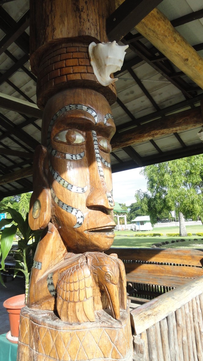
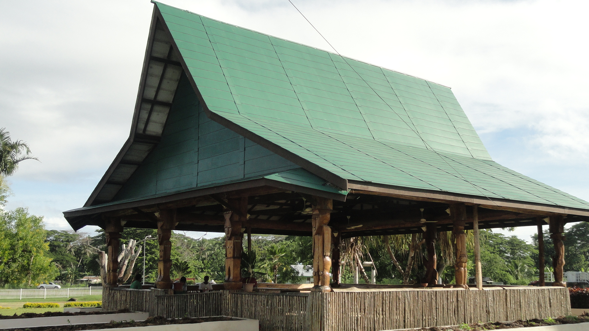
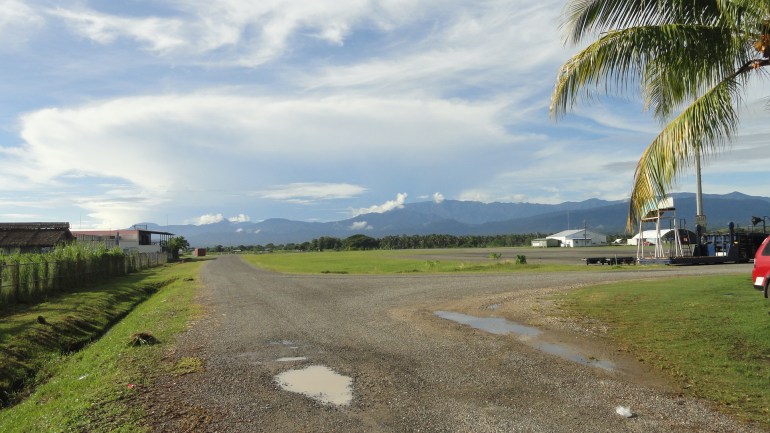
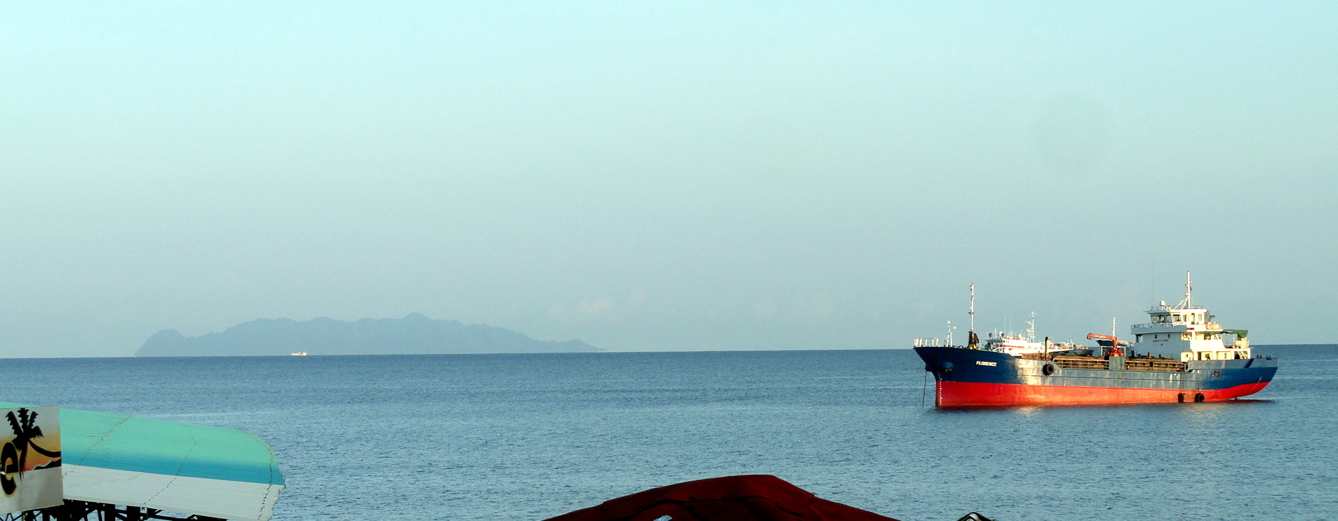
This lovely plein-air structure is one of two waiting rooms sitting in front of the concrete airport terminal. Naturally I spent most of my time here, until immigration opened and we were allowed through into the actual boarding area – though the modern terminal building has a cafe, it couldn’t compete with the views out of doors. Lower down, a view of a small island across the way from Honiara Harbor: that’s Savo Island. History tells us that the very night after the first US-Australian landing on Honiara, a Japanese naval force disabled or sank nearly all of the allied ships remaining nearby; and if they’d realized the aircraft carrier was already powering back to Fiji, they could have stayed and possibly turned the battle back their way. They didn’t, instead hustling  back to their main base at Rabaul (PNG) to be under cover of their air squadrons…and the war played out as it did.Honiara Waterfront & Savo IslandHenderson Airfield Henderson Field - Honiara
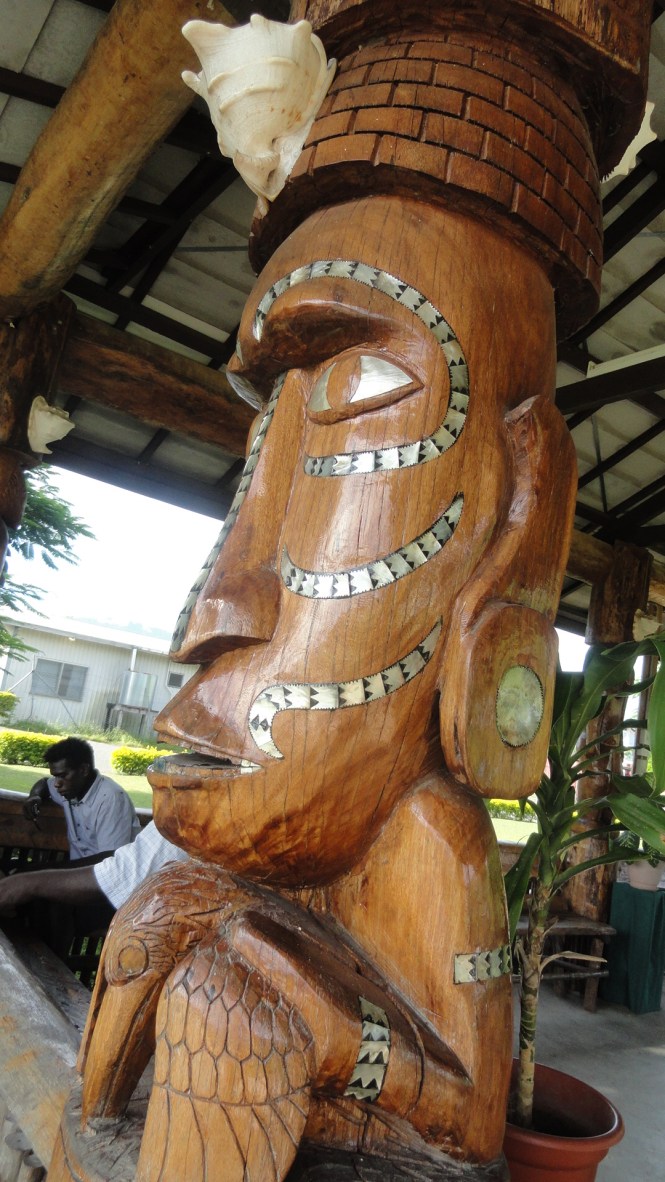
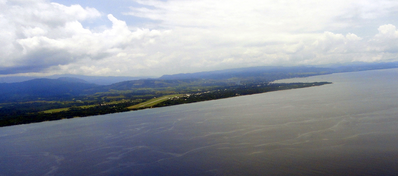
And it was all for that airstrip there, photographed as we approached for landing on the 16th of February, 71 years and 7 days after Wikipedia tells me that campaign was officially considered ended. And now we get to the great local culture stuff: I loved all the wooden sculpture in Honiara, as you’ve seen from the airport waiting shacks. Here’s more, below, from the National Museum.
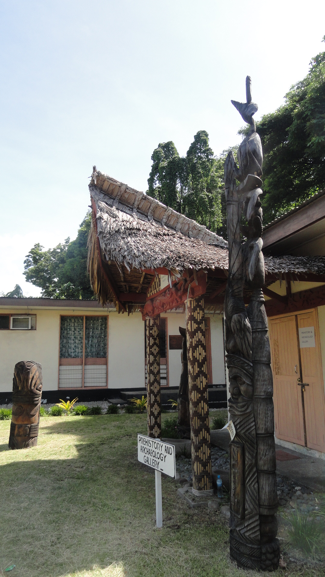
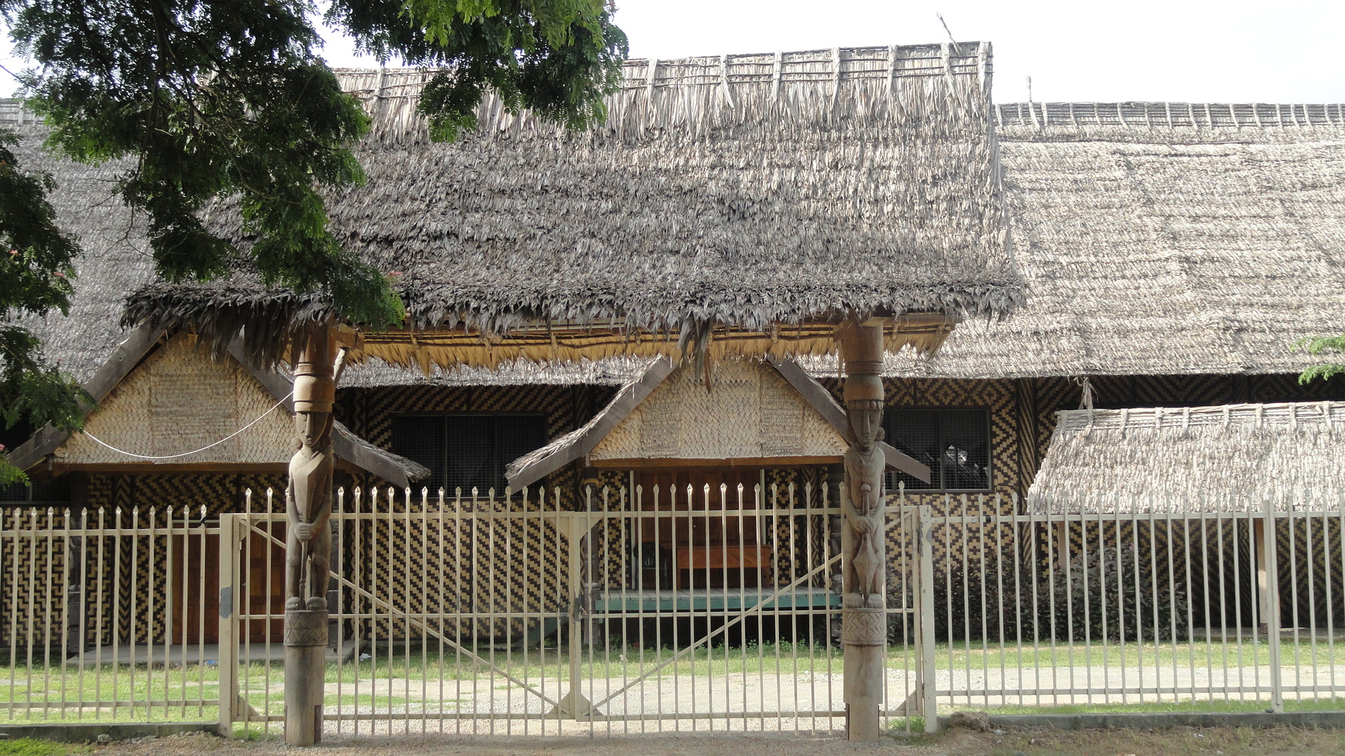
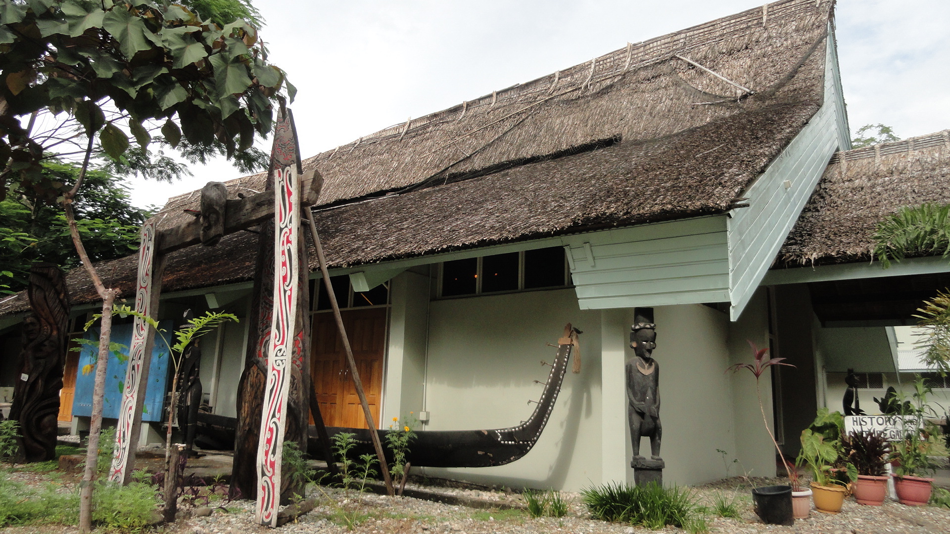
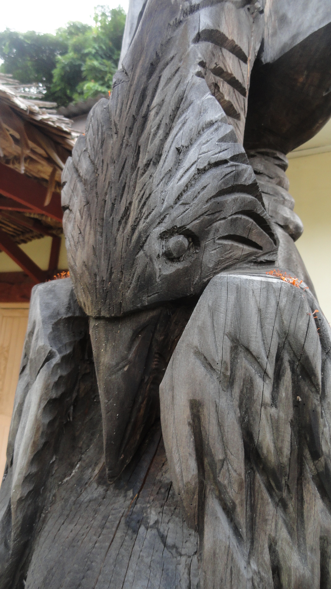
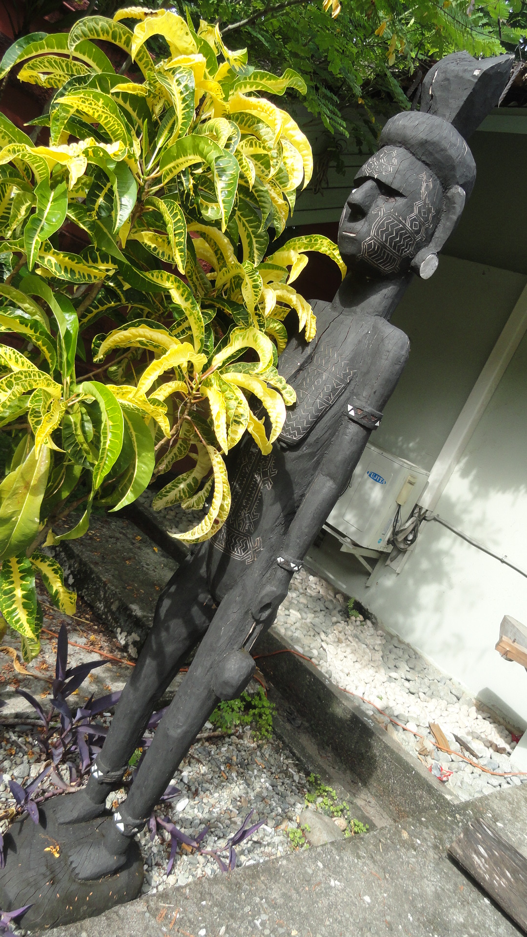
Nat Museum - Prehistory Nat Museum Bldgs Nat Museum Boat & Sculptures Nat Museum Closeup This is art from all over the Pacific islands, not just Solomons. There are three primary regions – Melanesia which includes both PNG and Solomons; Polynesia which is more famous in the US at least and stretches eastward to Hawaii and southward to Tahiti etc.; and Micronesia which is up north and includes, I think, Guam.Nat Museum Hall Nat Museum Painting & Sculptures Nat Museum Sculpture & Map Nat Museum Sculpture Sunrise Pano Honiara Bay

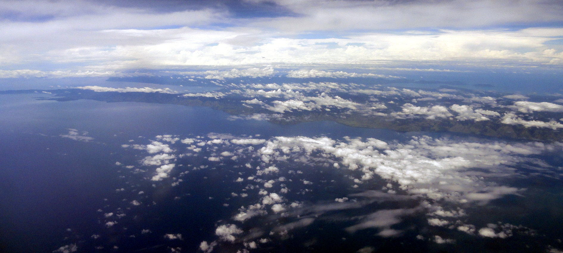
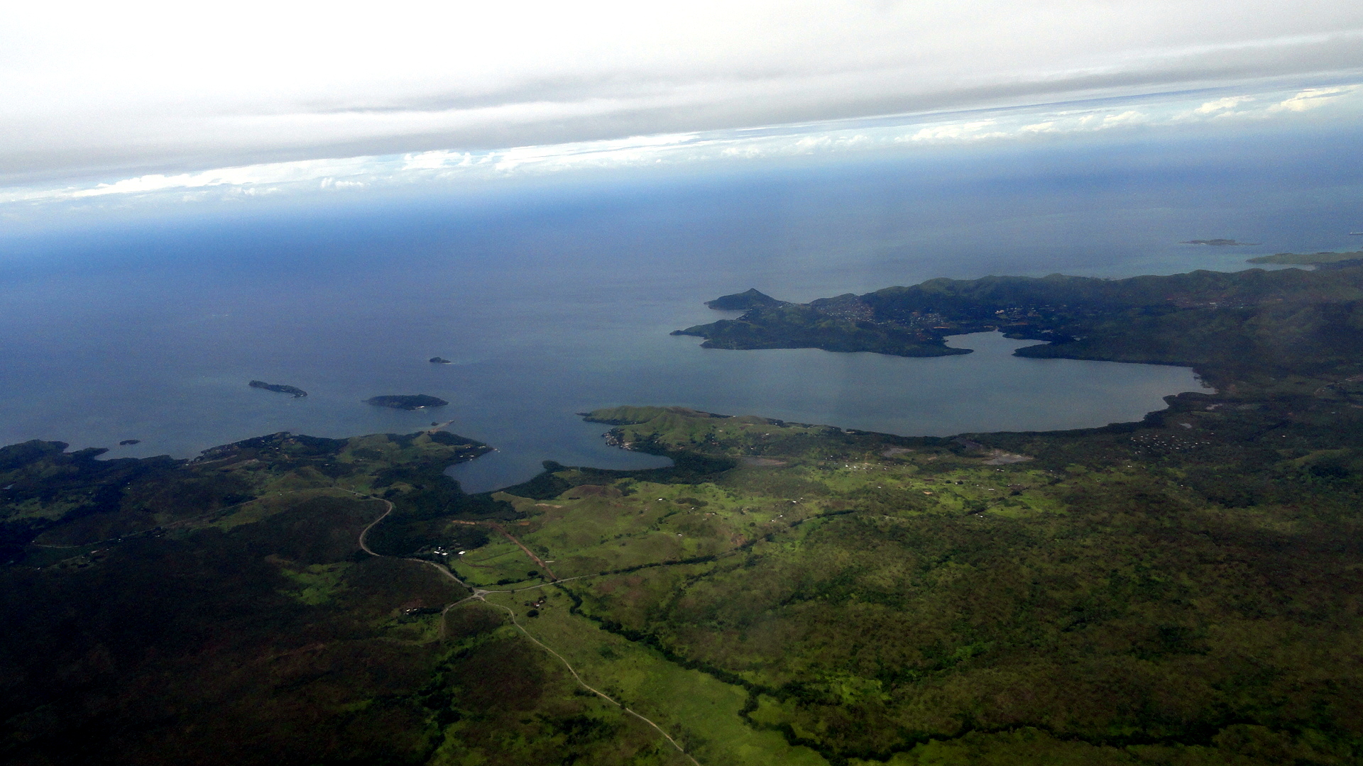
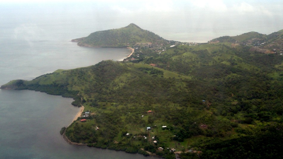
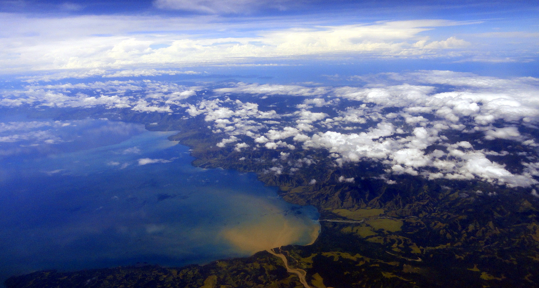
And with that little gallery, I wrap up the shots from Solomon Islands, and shift to more of my PNG pastime, aerial shots! Below, you see the following shots in the order listed: the bay on which I believe Alotau, at the eastern end of the island of New Guinea, is located; with a peninsula of land stretching east on the southern side of the bay. The next shot down, you see that peninsula ending in the sea, effectively pointing east towards Honiara more or less. And we end with a larger-area shot of Bootless Bay and Pyramid Peak on Pyramid Point, and then with one final shot of that personal-favorite landmark (Pyramid Peak, which you’ll find several other times in these entries…) just on the coast east of downtown Port Moresby. Since I’ve now left PNG for the last time (at least on this assignment), this is one of a few fond farewells likely to appear in these pages to a land that gave me meaningful work, a good home and very warm and welcoming friends and colleagues over the two years I was there. Tenk yu tru.Top of Milne BayEasternmost Tip of New Guinea IslandBootless Bay & Pyramid Peak 2014Feb16Pyramid Peak 22 Feb 2014
Roads, Rivers and Markets of Maprik District

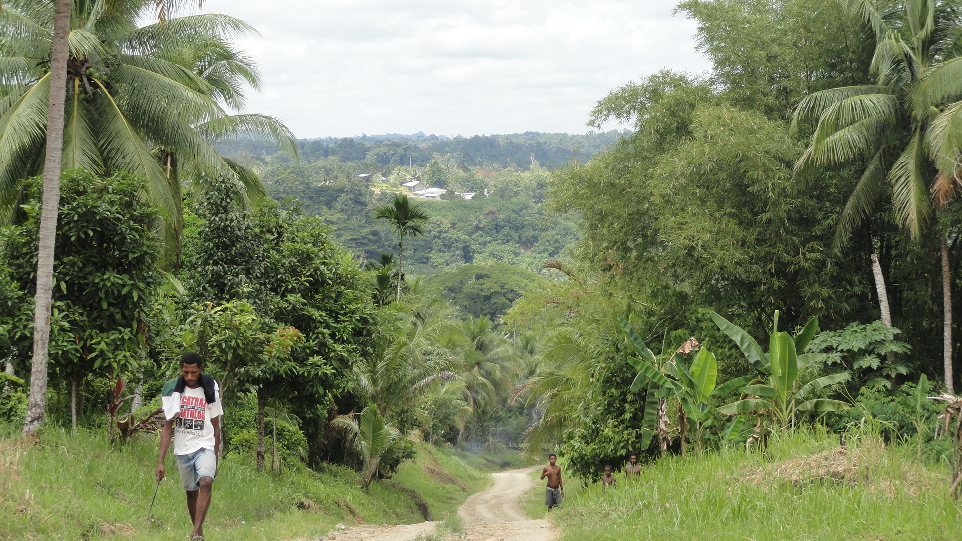
Stream & ForestRoad to Brugam
Brugam from Opposite HillsideSomething I’ve always loved about this life with MSF is how it lets me see so many towns and villages in so many parts of the world – so many ways that humanity organizes itself into social units and carries out daily life. Here in PNG there is such tremendous range cultural and social diversity that I’ve really cherished all the opportunities I’ve had to get out and see villages, meet local people and find out how they access health care, how they live, see the kids playing or running by the road, see the market ladies selling their coconuts or buai (betel nut) or onions, and so on.

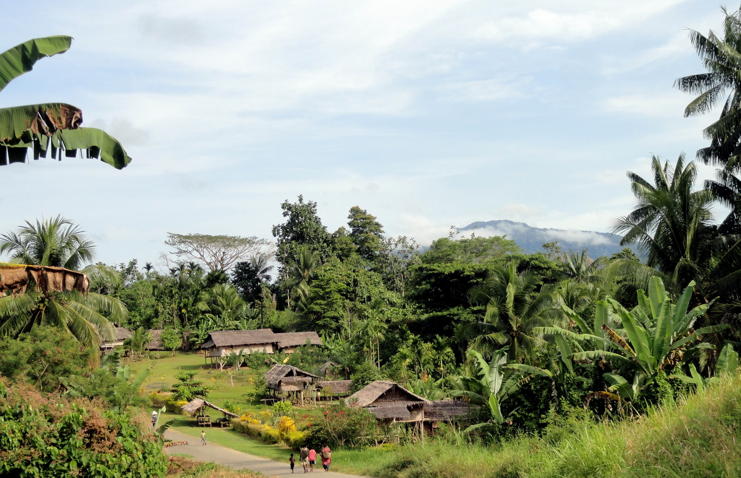
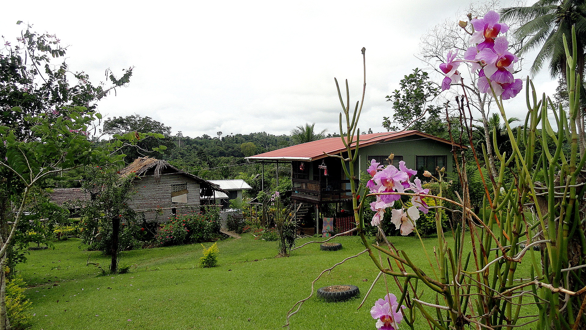
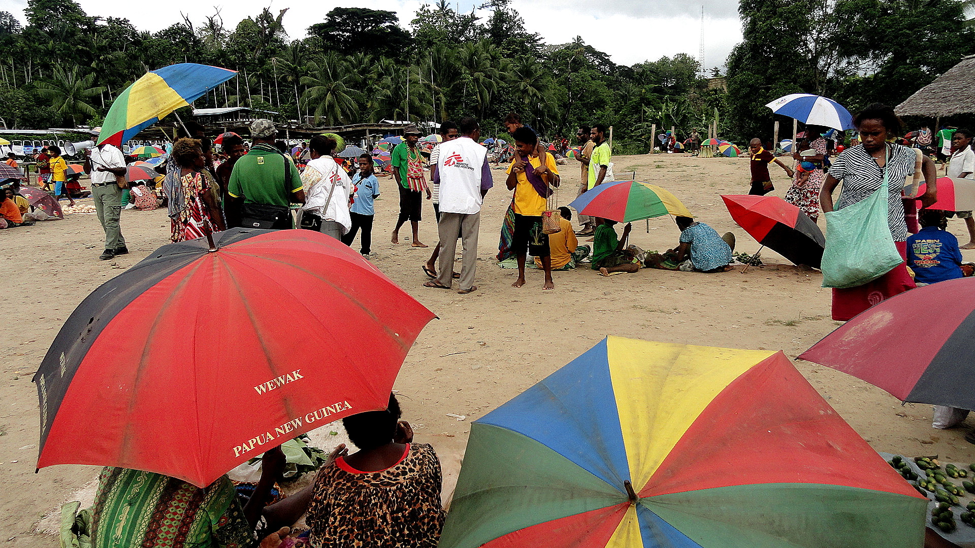
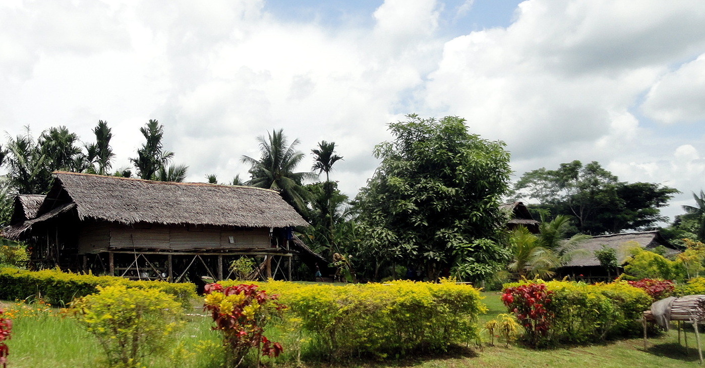
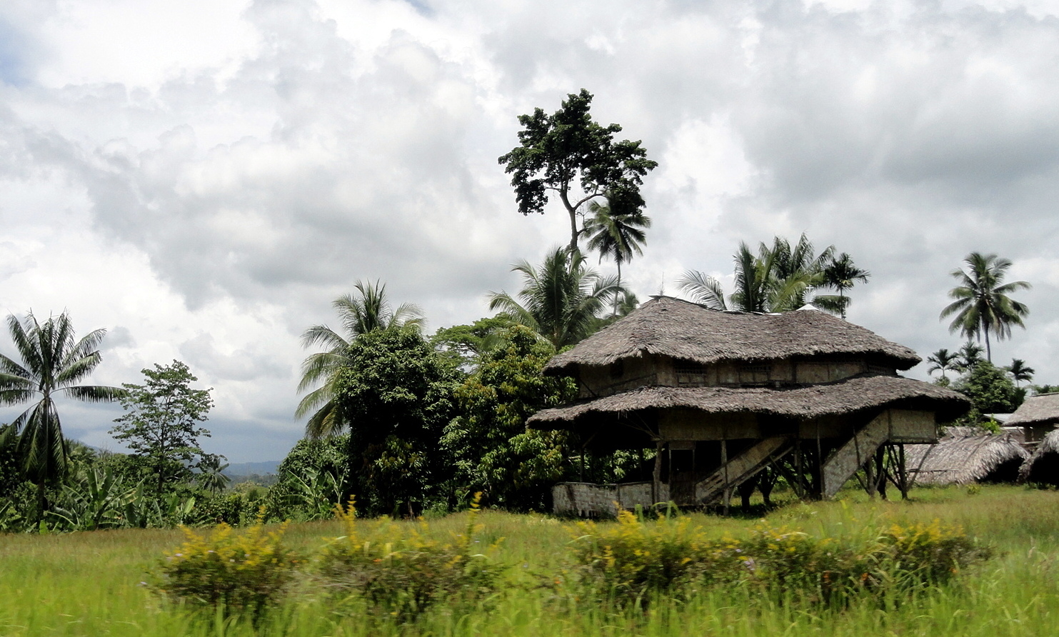
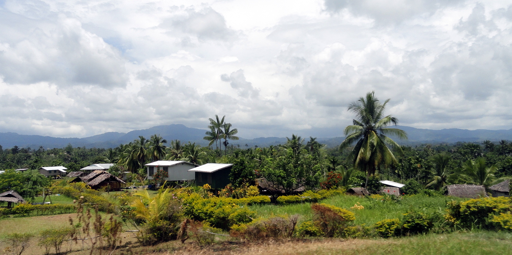
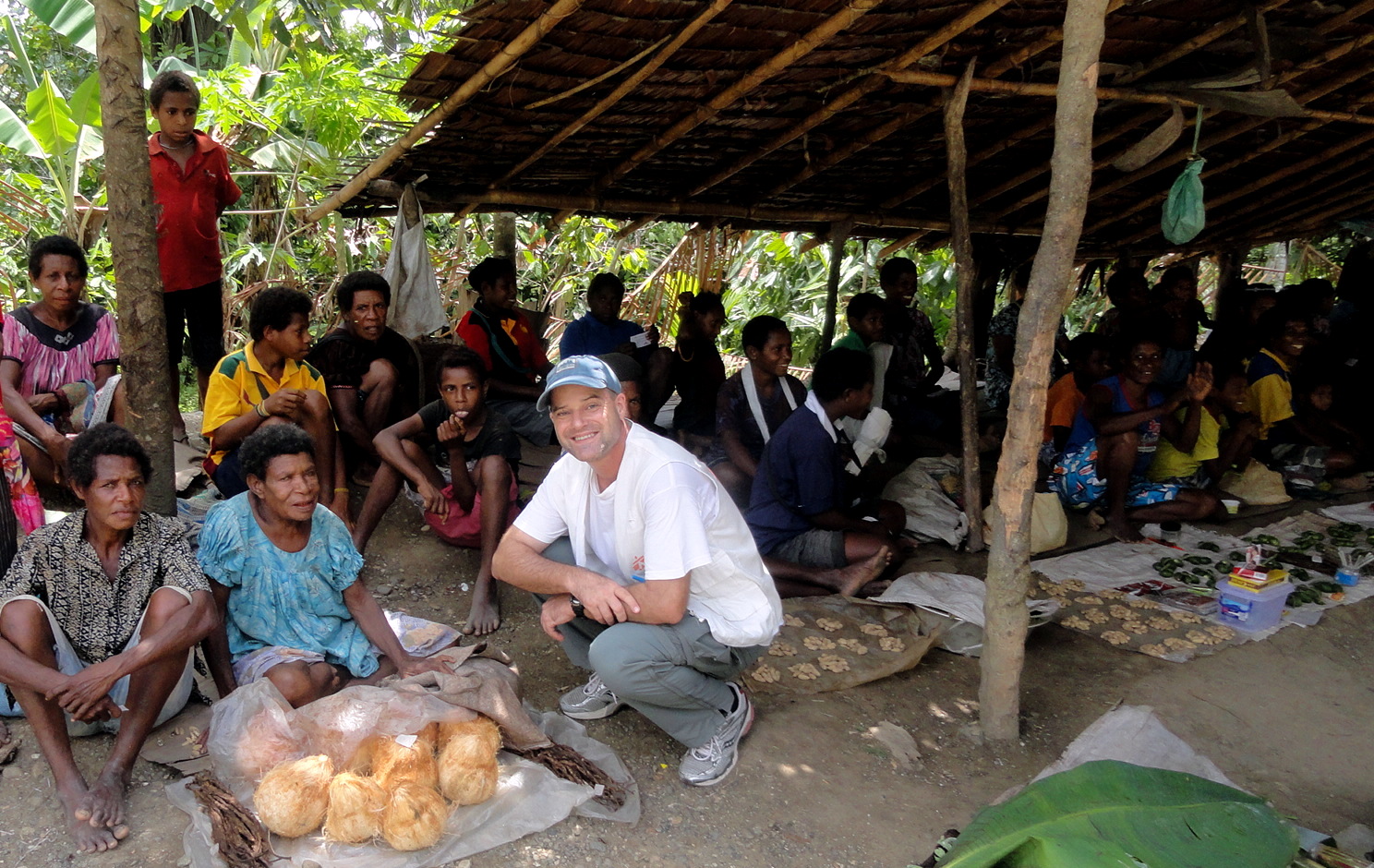
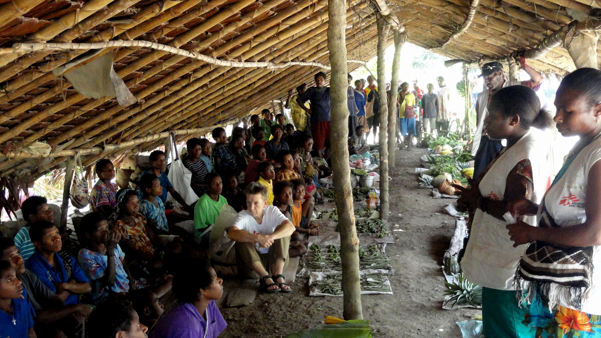
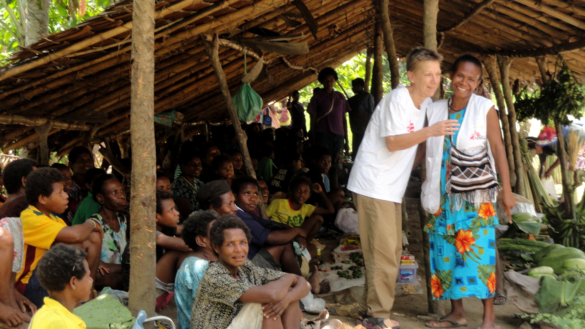
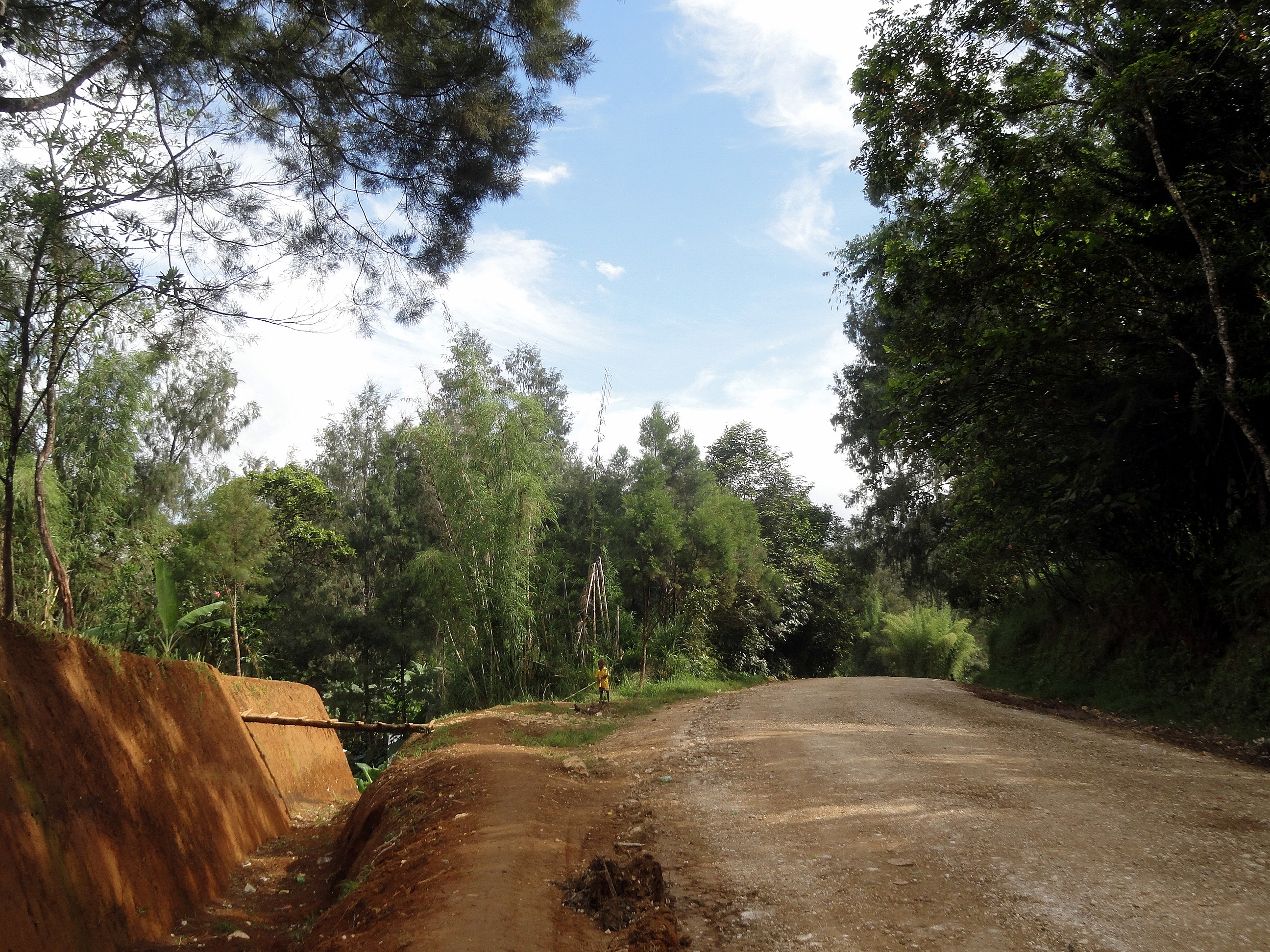
Brugam from Opposite Hillside 2 This is the final entry that I will post from PNG. There are still some shots from a recent trip to Honiara in the Solomon Islands, which I might post next weekend when I expect to be in Canberra; or the next entry might have to wait until I’m back in Europe debriefing and then seeing friends and family there. It’s lovely that this last entry can show another style of roads and villages from those that you’ll see from my past visits to Tari, the peeks at the streets of Port Moresby I’ve offered you in recent years, or even the views of roads and rivers in Bougainville from late 2012. Just a month ago or so I had the chance to get out with our teams in Maprik, a town and district centre in East Sepik province – these shots are from outreach activities (health education) at the main market in Maprik town, plus a trip we did to a lovely little town (which you see, across the valley, in the shot directly above and whose streets and houses you see also in the shot below) called Brugam. I won’t say a lot more – the photos have names which tell what they are, and there’s a small gallery below in which a colleague documented me buying a nice big coconut to enjoy the coconut juice…which we’re told is nature’s perfect electrolyte drink, and certainly is a fine thirst-quencher after a day on the road. Consider this my sign-off from my dear temporary home since March 2012, good ol’ Port Moresby…

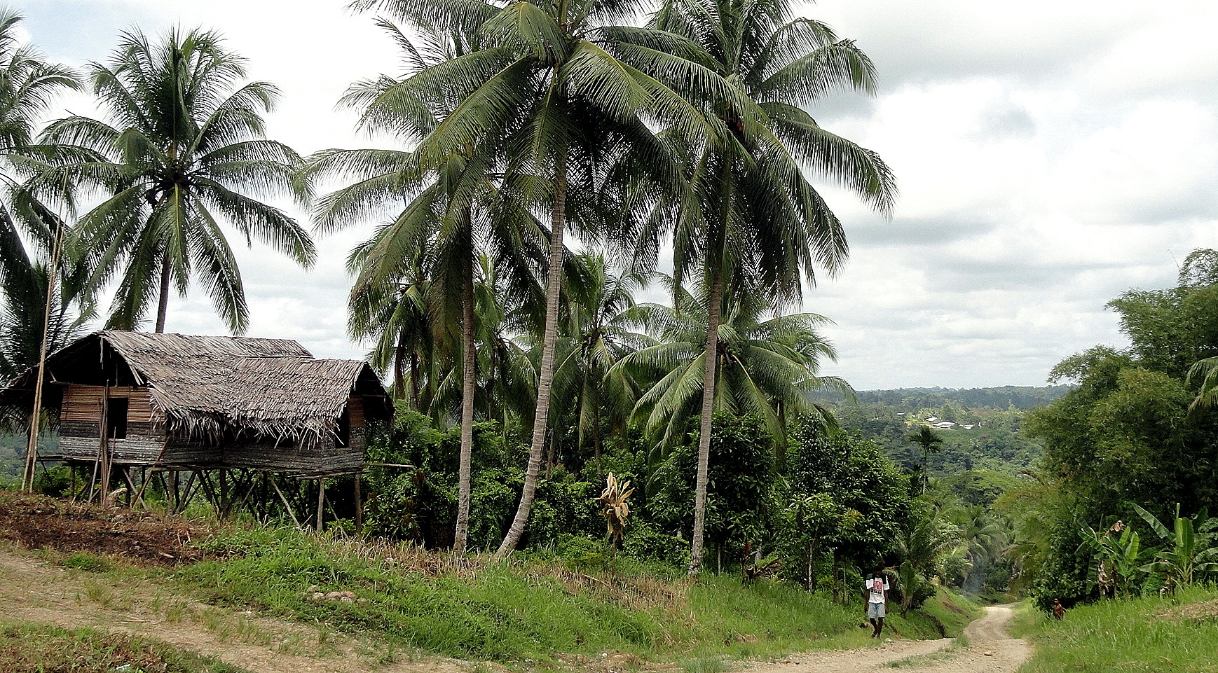
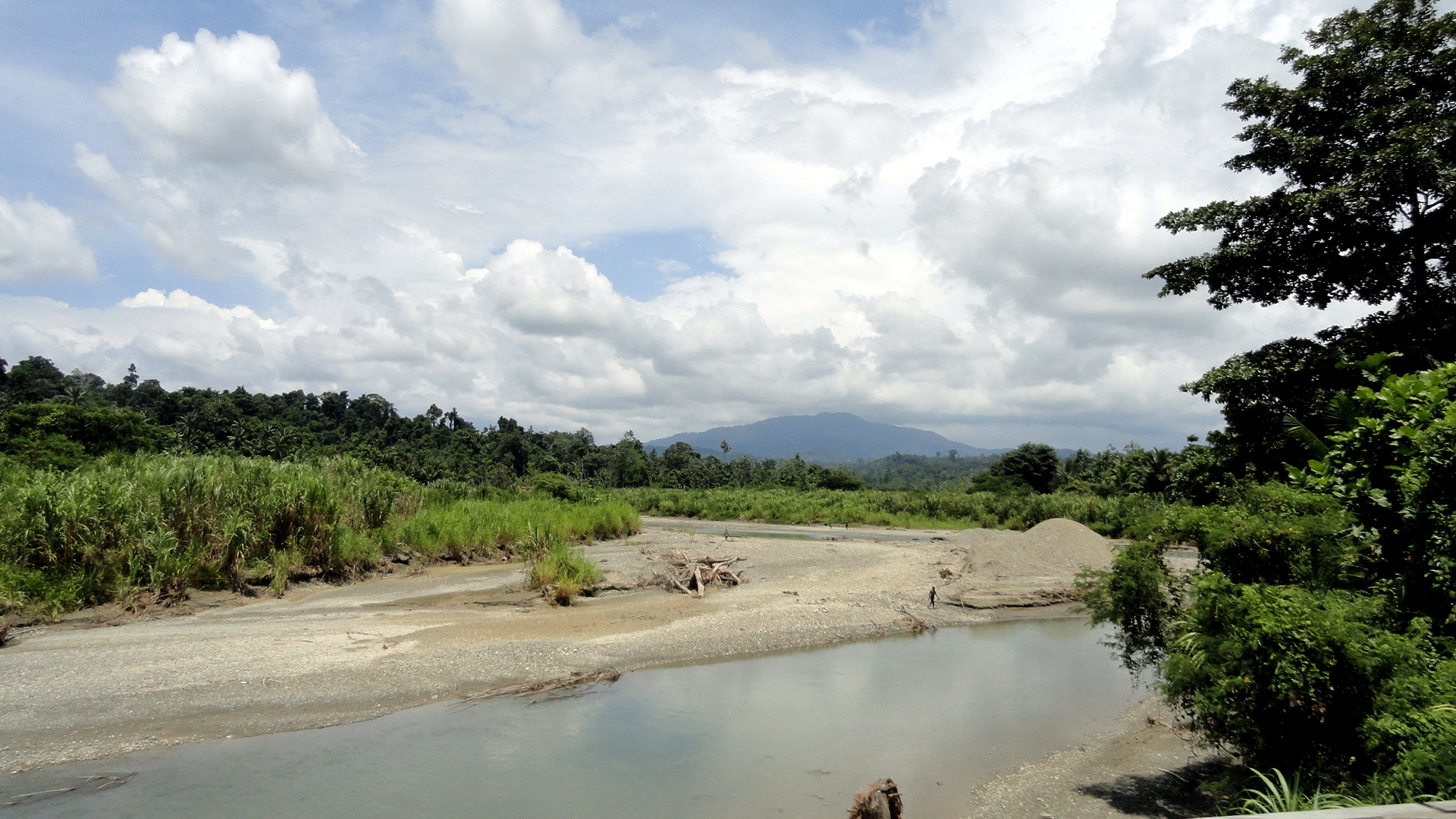
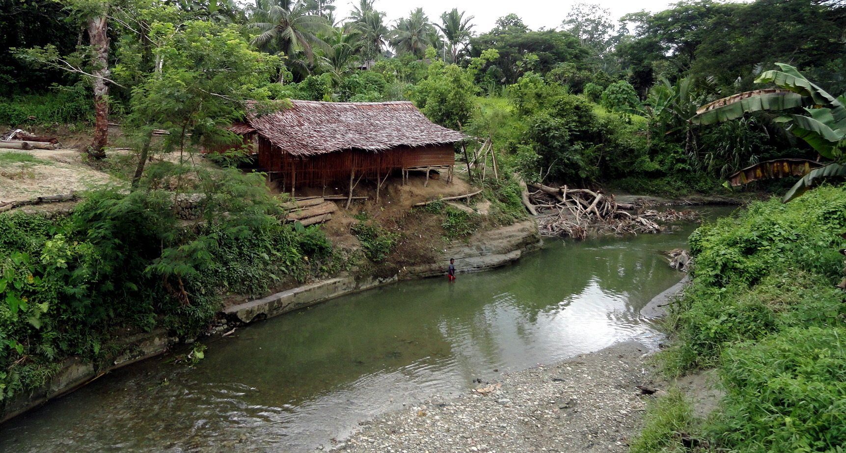
Brugam Houses…many of the rivers reminded me of streams that I’d play in with my brothers as a kid in Southern Ohio (especially the one at the very top, first in the entry), while others reminded me of streams I drove past in New Zealand with one of those brothers and my Mom, just a few months ago. Notice also how differently the houses and family compounds are set up compared to Tari — here, open yards and houses on stilts for cool and flood-protection; there, big earthen walls to create privacy and…well, I’ve never been inside a Huli home, but I’m guessing they’re on the ground since it’s plenty cool overnight up there in the highlands…
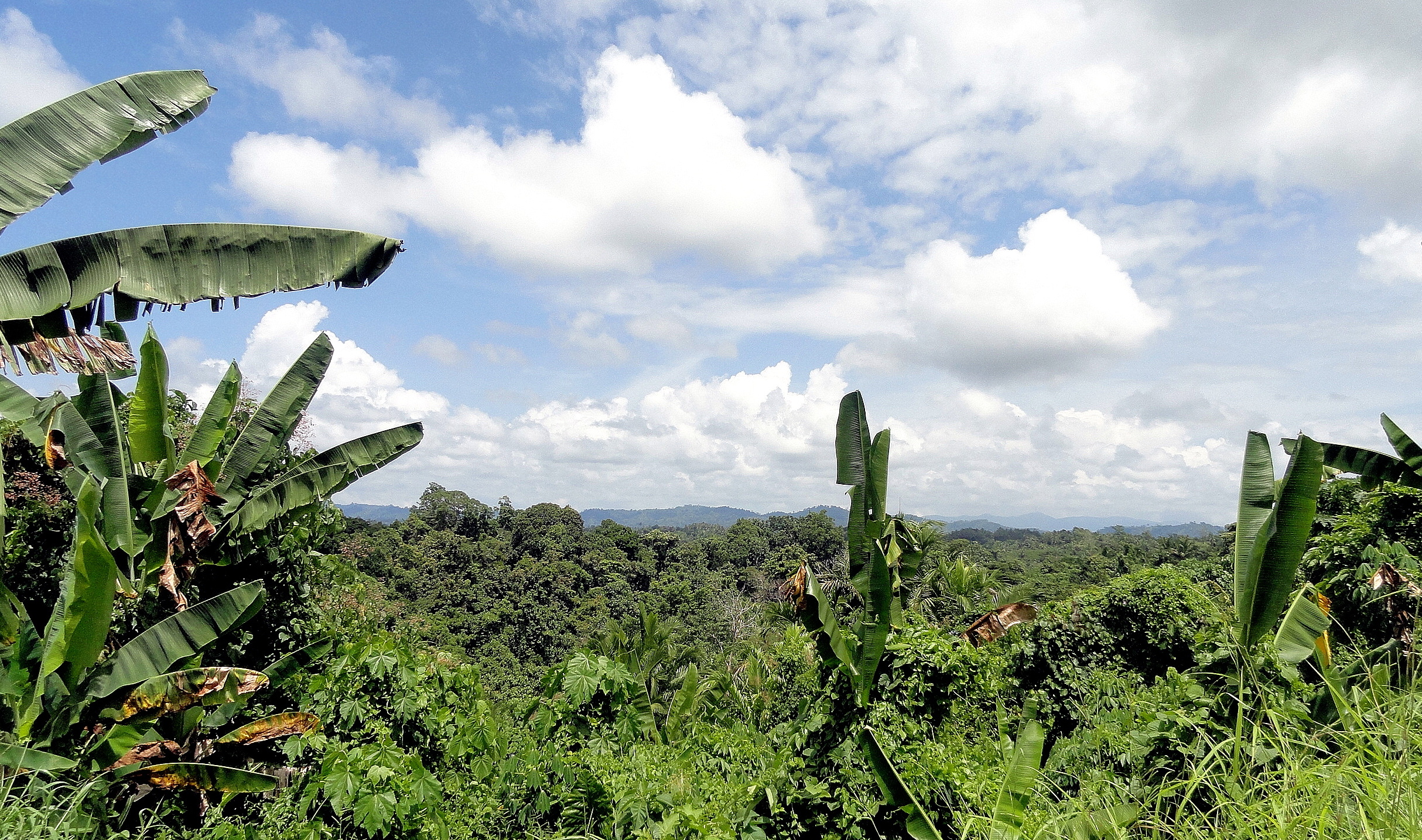
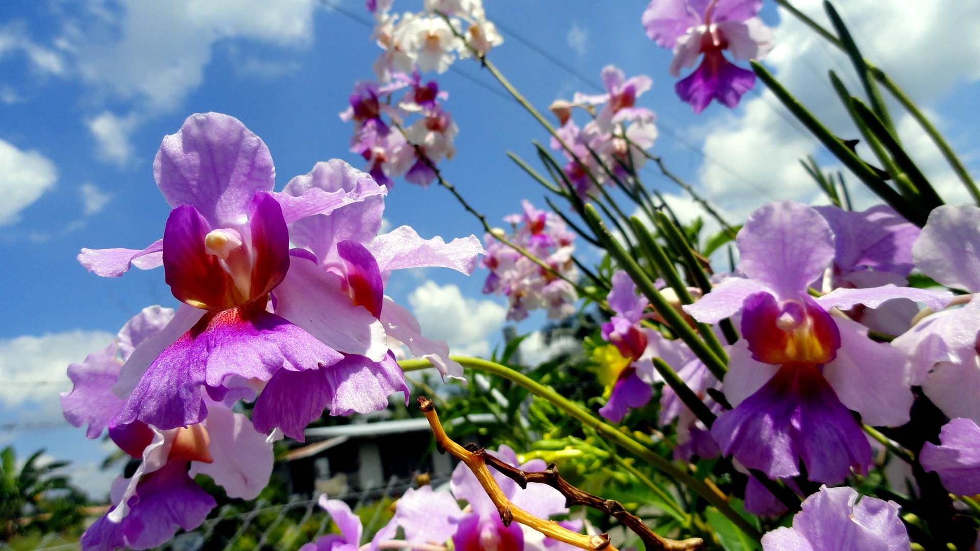
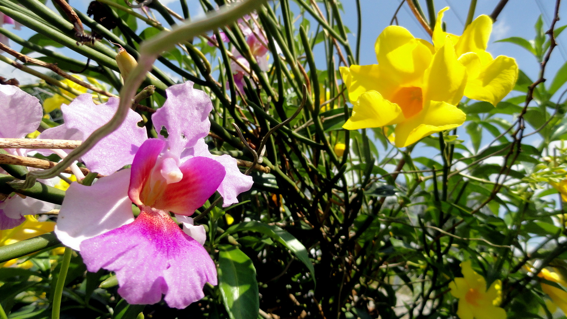
East Sepik Stream Maprik Central Market Maprik Market  Shelter Maprik Market Outreach 3 Maprik Market Outreach Crowd Mountain Vista from Road Moutains & Forest Orchids & Sky Orchids & Trumpet Flowers Riverside House Road at Brugan HC
Roadside House & Hedge Roadside House & Yard Roadside Houses & Landscape Buying Coconuts 1

Roadside Market Outreach Roadside Market Team Roadside Market

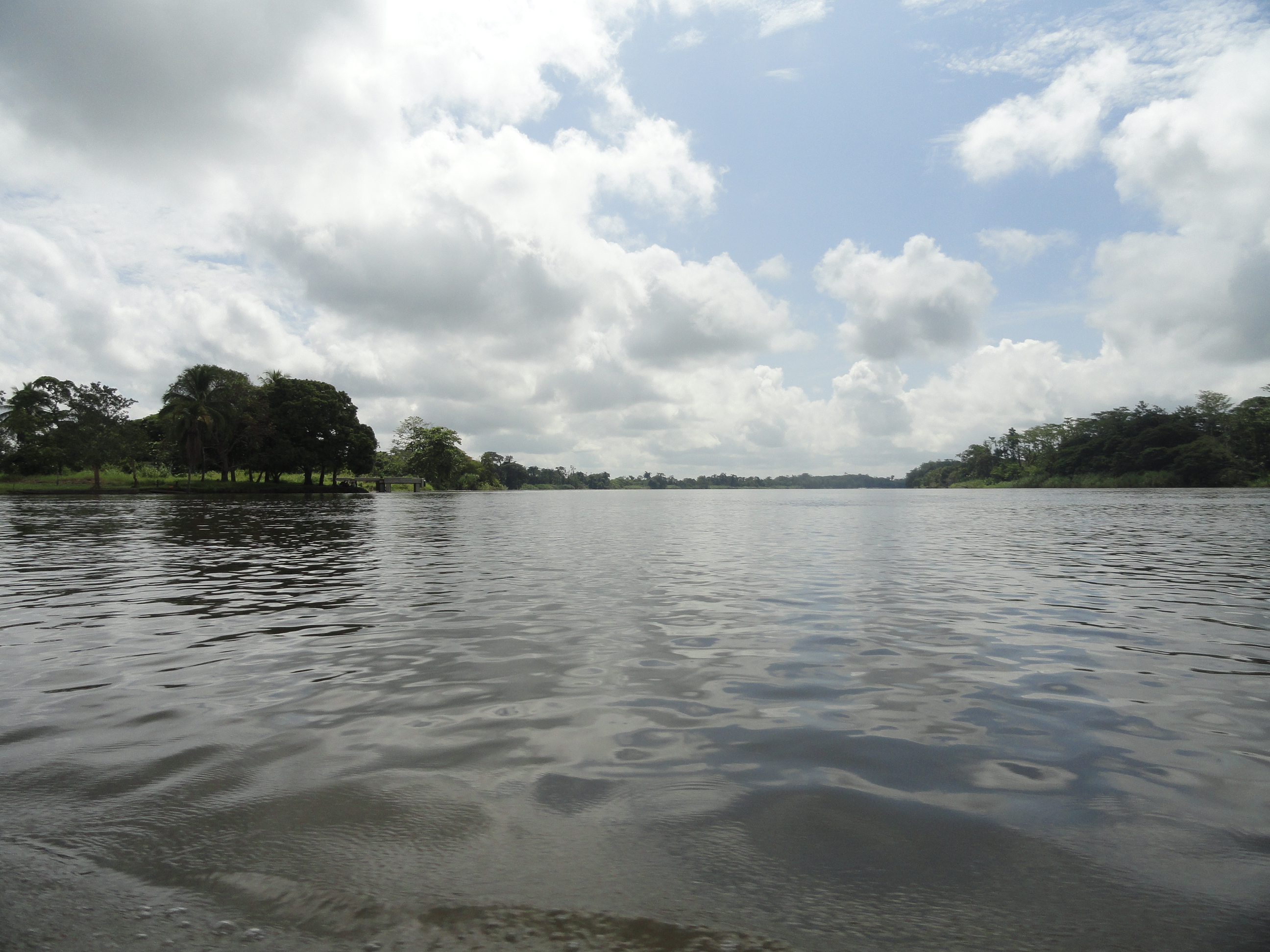
The River at Pagwi

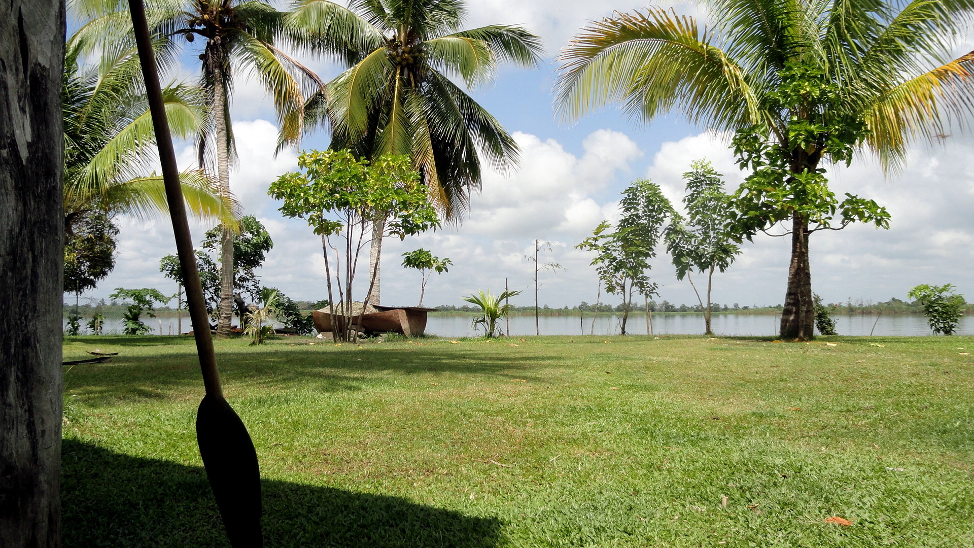
Paddles-RiverPagwi Guesthouse Roof

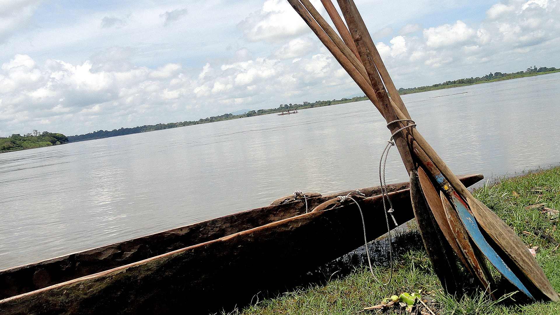
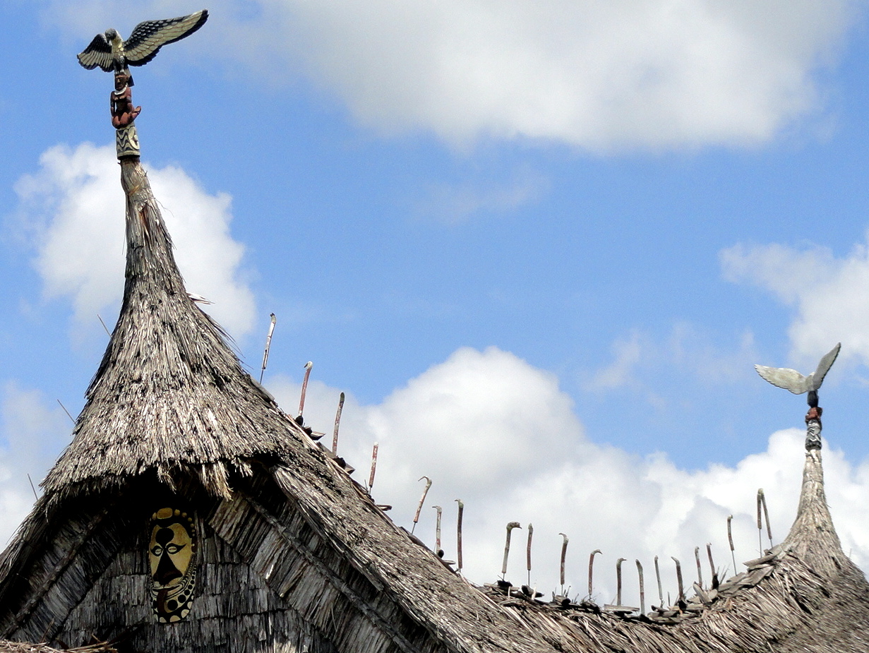
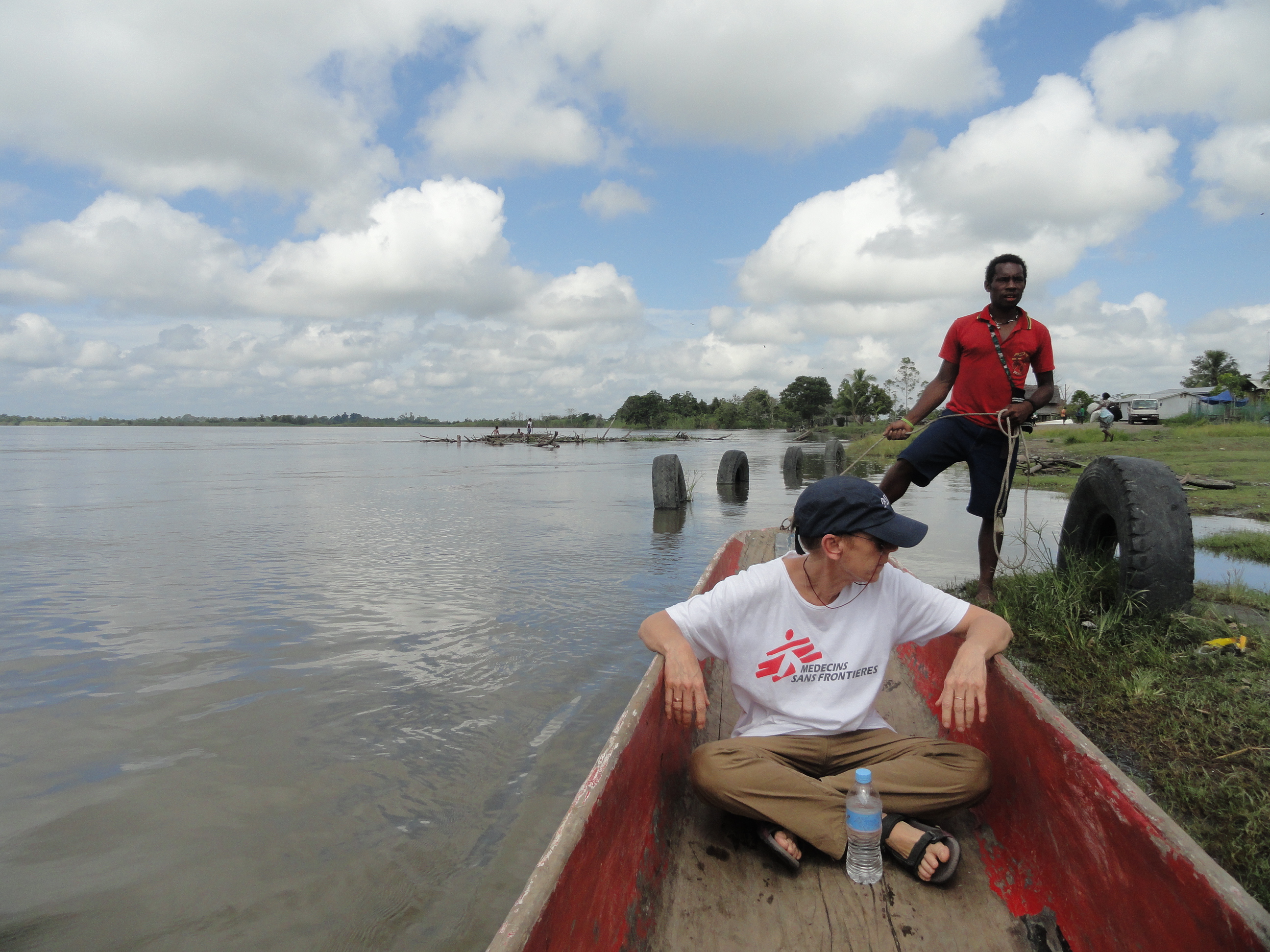
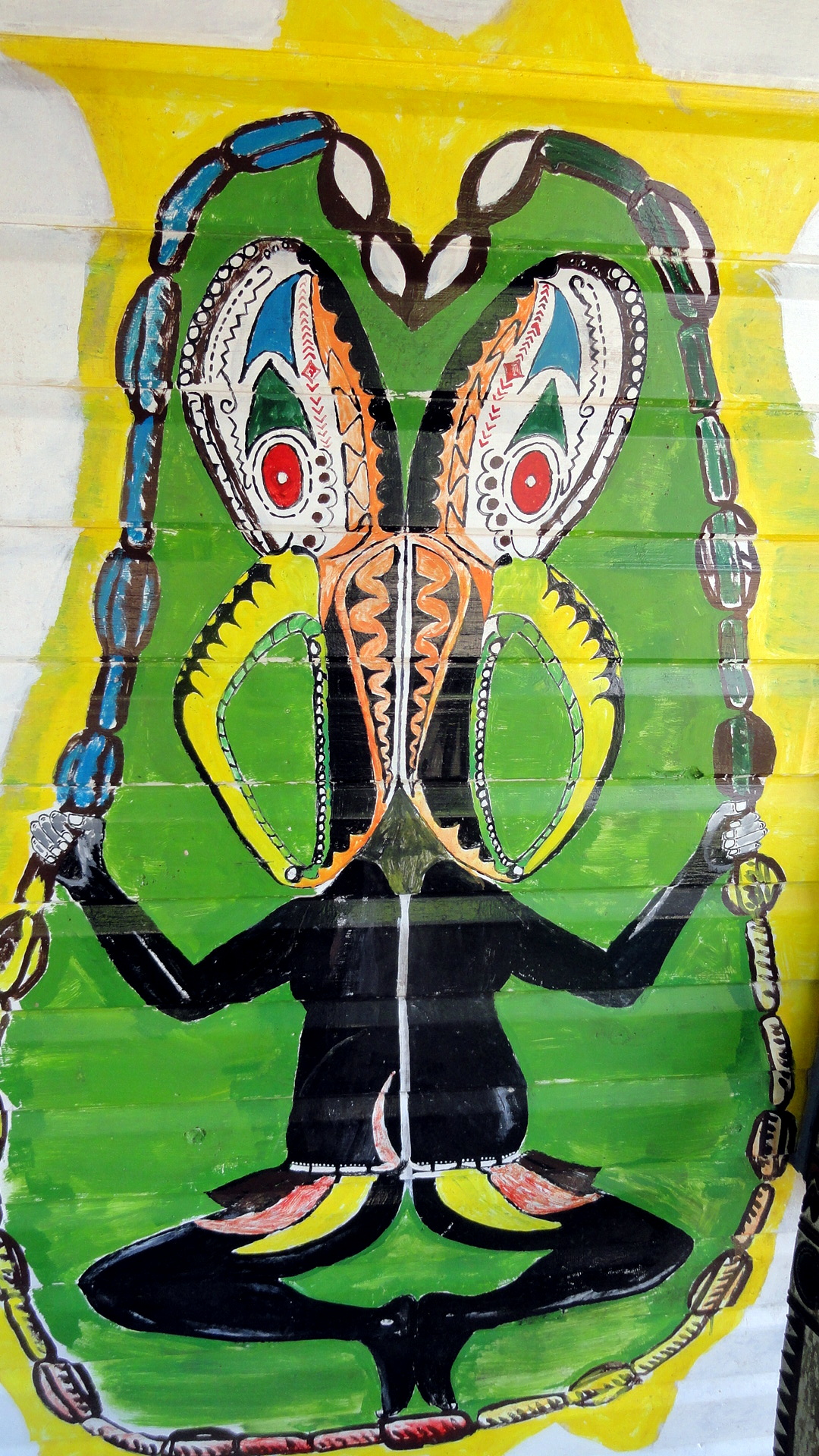
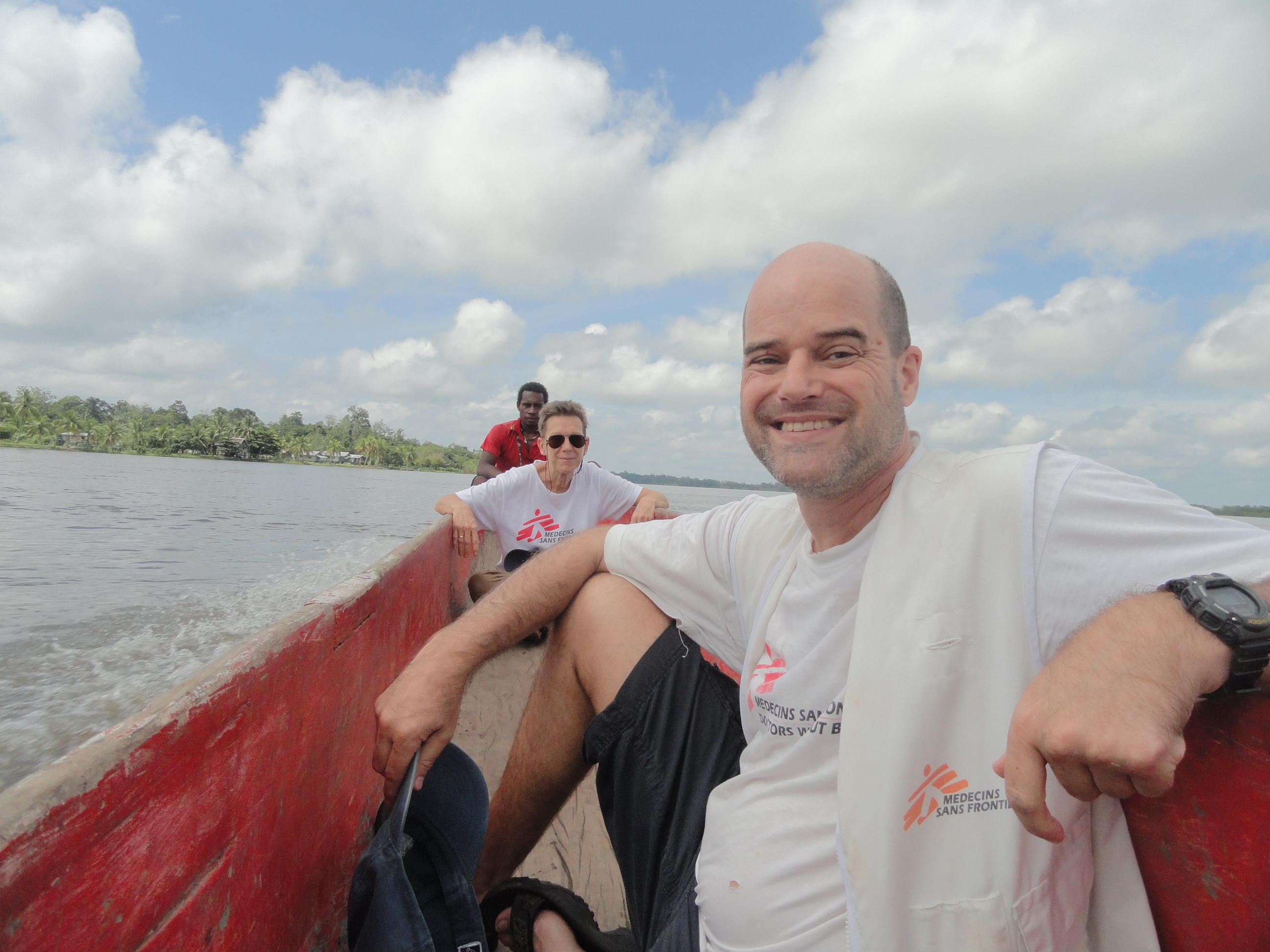
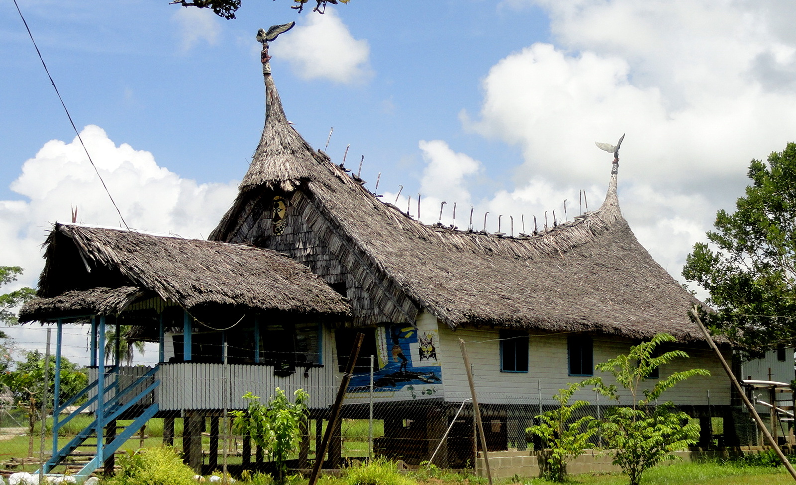
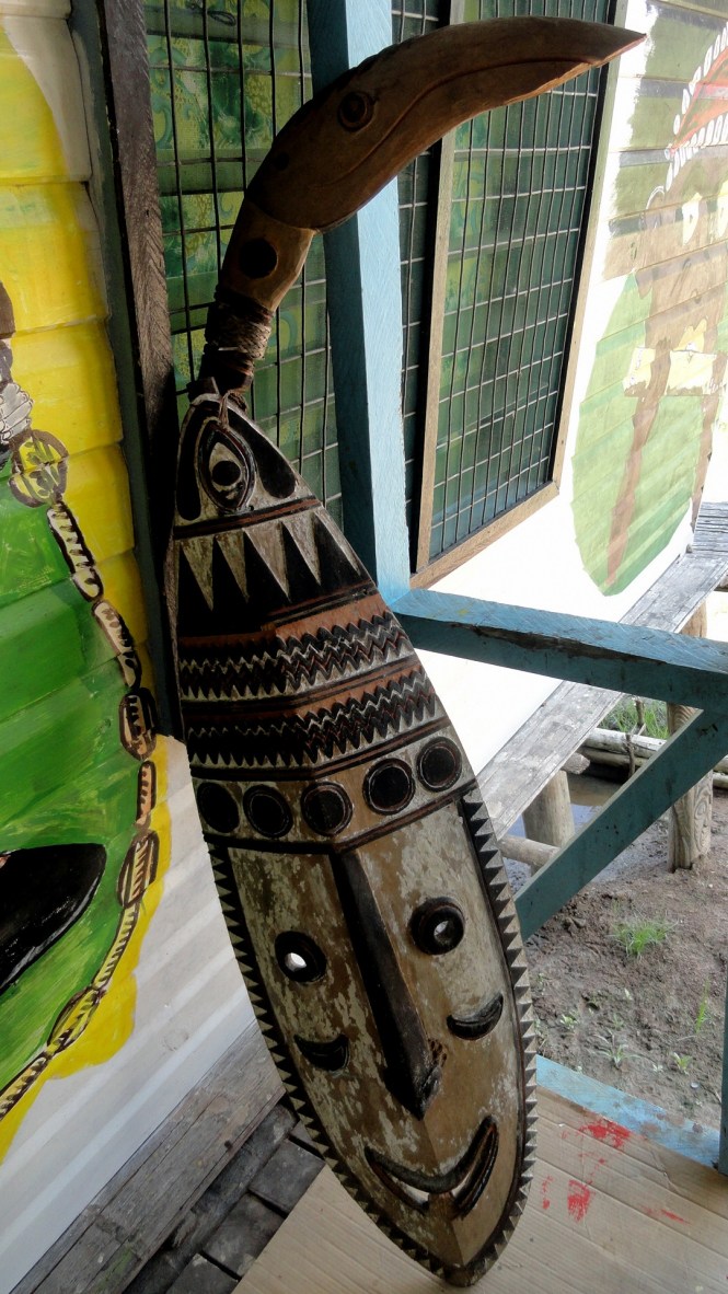
A few weeks ago, I got back to East Sepik again for the first time since July of 2012. It was great to see the towns and have a sense of continuity; also great to see it through eyes that have now been around PNG a bit longer and come to understand the extent to which the arts of the Sepik region are represented all around the country. At Ambua Lodge near Tari, the dining room is full of magnificent woodwork carved by folks from Sepik. This set of photos is all from the settlements on both sides of the river at Pagwi, which so far as I can see is the first place along the course of the river, in its run from the mountains at the Indonesian-PNG border to the Bismarck Sea, where a sealed road gets to the river’s bank. The detail of roof decoration above is from a lodge I photographed at that time as well; but then I’d not seen the gorgeous close-up mask that I shared with you all back when the orchid show was happening down the road from us at the house of Parliament….which was built in the style of a House Tamburan, a men’s house for traditional ceremonies in the Sepik region, from what I understand.

It’s good I went for the orchid show and took those shots of the lovely facade of parliament house when I did, because not long after, the speaker of parliament had the lovely row of traditional masks just above the lintel taken down and (at least partly) destroyed, for religious reasons – something about idolatry, I think. This caused a bit of a kerfuffle in the local media. I remain somewhat shocked that in such a multi-cultural country, such a senior leader can get away with simply destroying something of that sort which, as I see it, represents both part of the wondrous heterogeneous cultural patrimony of this rich nation, and beautifully skilled artistic craft. This blog, it would appear, is one of the few places where one can easily see images of the original, intact facade of the lovely house of parliament. That entry, and another example of a lovely traditional larger mask like the one above can be found in these entries:

https://somuchworldsolittletime.wordpress.com/2013/11/02/arts-of-png-parliament-house/

and here, though I think some of these masks have origins from other regions as well:

https://somuchworldsolittletime.wordpress.com/2013/11/09/more-masks-and-many-magnificent-orchids/

Back to Pagwi


Paul by Sepik 2

If you’d like to see the rainy vs dry season comparisons, go check out a few of the river shots from the entry below:

https://somuchworldsolittletime.wordpress.com/2012/08/06/along-the-sepik-river/

if you scan through that entry you’ll see a few shots of the same stretch of shore above and below; there’s one where many people are unloading from a boat that’s down below where I was shooting from: that spot is where the boat is in shot just below. I figure the river is a good several metres higher in these shots than last time I was here.


Dugout at Rest
Dugout Paddle-Yard-River Dugout Under House Family in Canoe Loading Back to Pagwi Marja in Boat
Pagwi Guesthouse Art 2 Pagwi GuesthousePagwi Guesthouse ArtPaul & Marja in Boat Paul & the River CrocsBosman-Croc Skull-PaulThe Croc Hunters

On the other side from Pagwi is a crocodile farm, with riverine crocodiles. Compared to the massive saltwater crocs I saw in Northern Territory two years ago, these guys look cute and cuddly. Still, I’d rather not step on one or even share the same patch of water with them! And as the wonderfully decorated skull below shows, even these freshwater guys can grow to substantial size if not captured by croc hunters like those pictured above and then sold for either meat or leather.

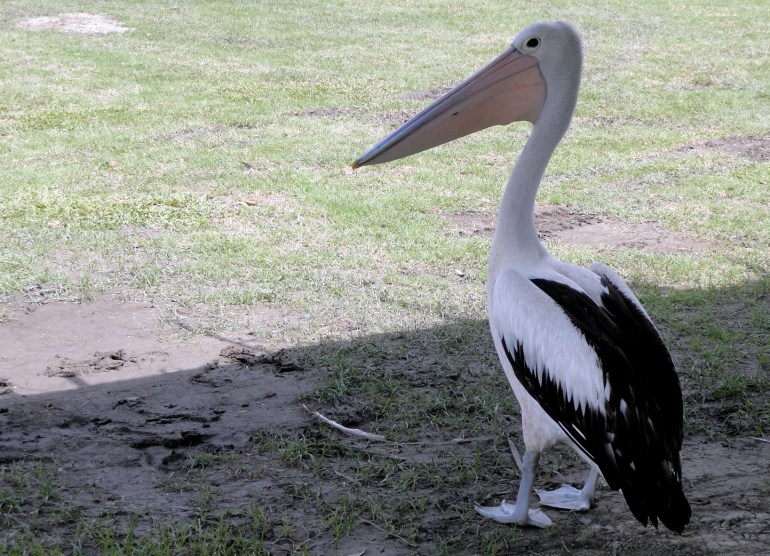
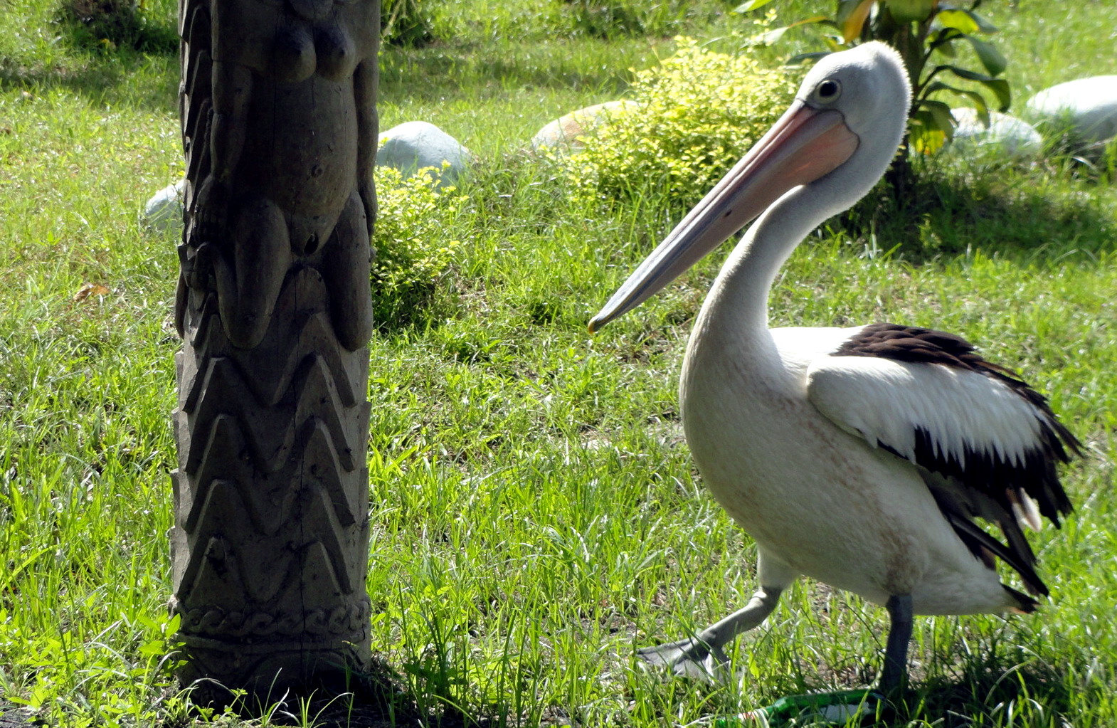
Decorated Croc SkullPelican at Pagwi Pelican by Guesthouse Pillar Sepik River at Pagwi Sepik Riverside House

Northern Coast & Central Highlands … from the Air

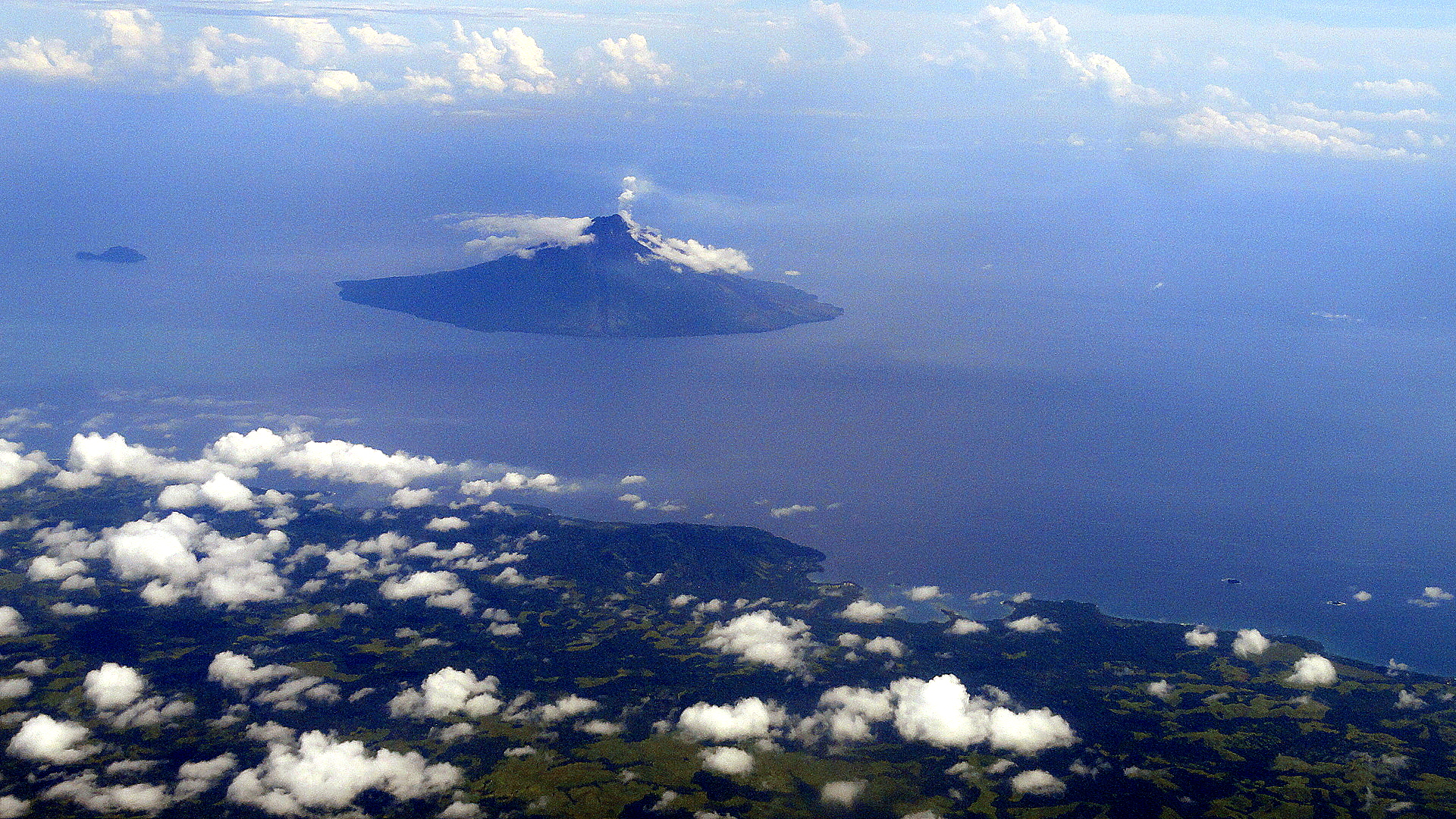
Madang Volccanic Islet

I increasingly take in, on a personal, intimate and frankly emotional level, that these magnificent and challenging two years of working and living in this vast and varied land which is fabled in the annals of anthropology, botany, zoology, history, linguistics, diving, and so many other areas…well, these two years are truly winding down. In three weeks I should be on an airplane somewhere over Australia, having left PNG for the last time. Today, I’ve just flown back into PNG, for the last time, from a trip to Honiara. Honiara is situated on Guadalcanal, a name which echoes for many students of 20th century world history.

Coastal Bay and Clouds

I feel a mixture of sadness, pride, and weariness along with both anticipatory and actual nostalgia. (After all, having been here two years and having flown into and out of the POM airport dozens of times, it’s easy to get lost in memories of this trip to that place, or that conversation with this person, almost any time I find myself at either the domestic or the international terminal.)  It’s certainly been two years full of purpose and hard work, and I admit to being ready for a bit of a rest.

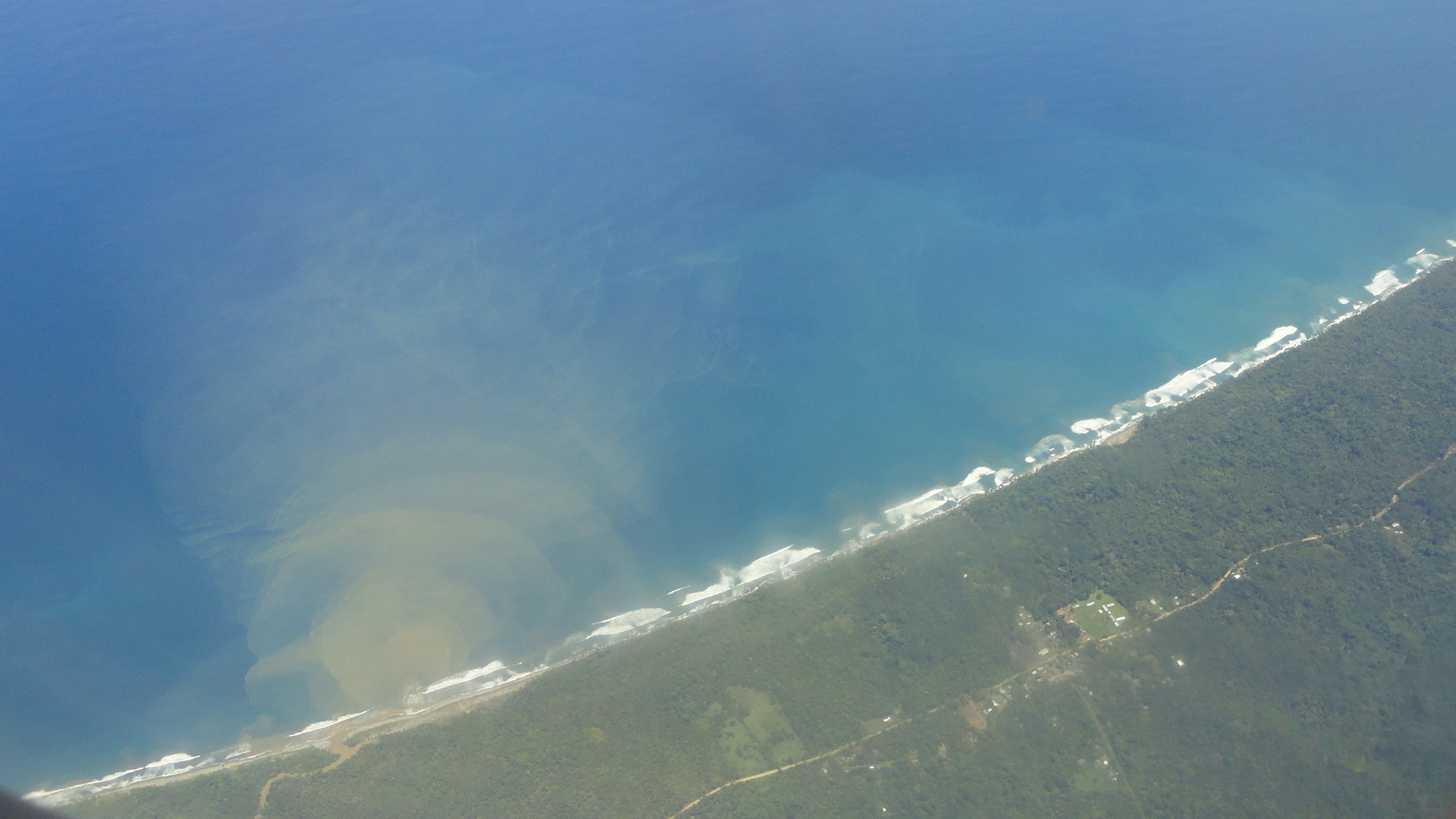
Coastal Sedimentation

Look in these pages, over the coming months, for scenes of me at rest in my beloved coastal California home(s), and various other spots around North America. Before I get there I’ll visit some friends in Europe, so we might reflect some early spring landscapes from a few parts of that far-away land… But for now, as I realize the load of unsorted photos grows ever larger, I’ve decided to get a few more up for those of you who find shots of coastlines and cities from the air as fascinating as I do. I deeply hope that I’m not alone in staring avidly out the window much of the time I find myself on any airplane flying through blue skies, even after all these years and flights. Hope you enjoy: they all have names which say what they are; and these are all from the recent trip from POM up to, and back down from, Wewak on the northwestern coast of the country.

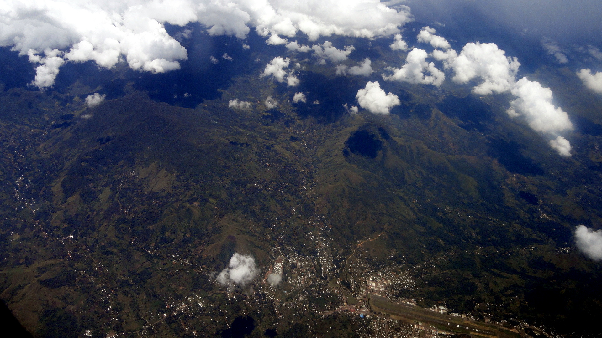
Madang Coastal Islets Madang Harbor View …below (if this lays out right) is clearly one of the larger cities in the Highlands, and if I’d been around that part of the country other than just Tari and environs, I might know which one, but I suspect it’s either Mt Hagen, or Goroka. My guess is Goroka, given the route the airplane seemed to be taking, but what do I know? 
Prob Goroka or Hagen

Prob Sepik River from Air Sepik Estuary qmark Wewak Coastline
Wewak Coastal Peninsula

Wewak Coastal Islands

Cassowaries, Crested Pigeons & Wallabies…Birds & Beasts of PNG

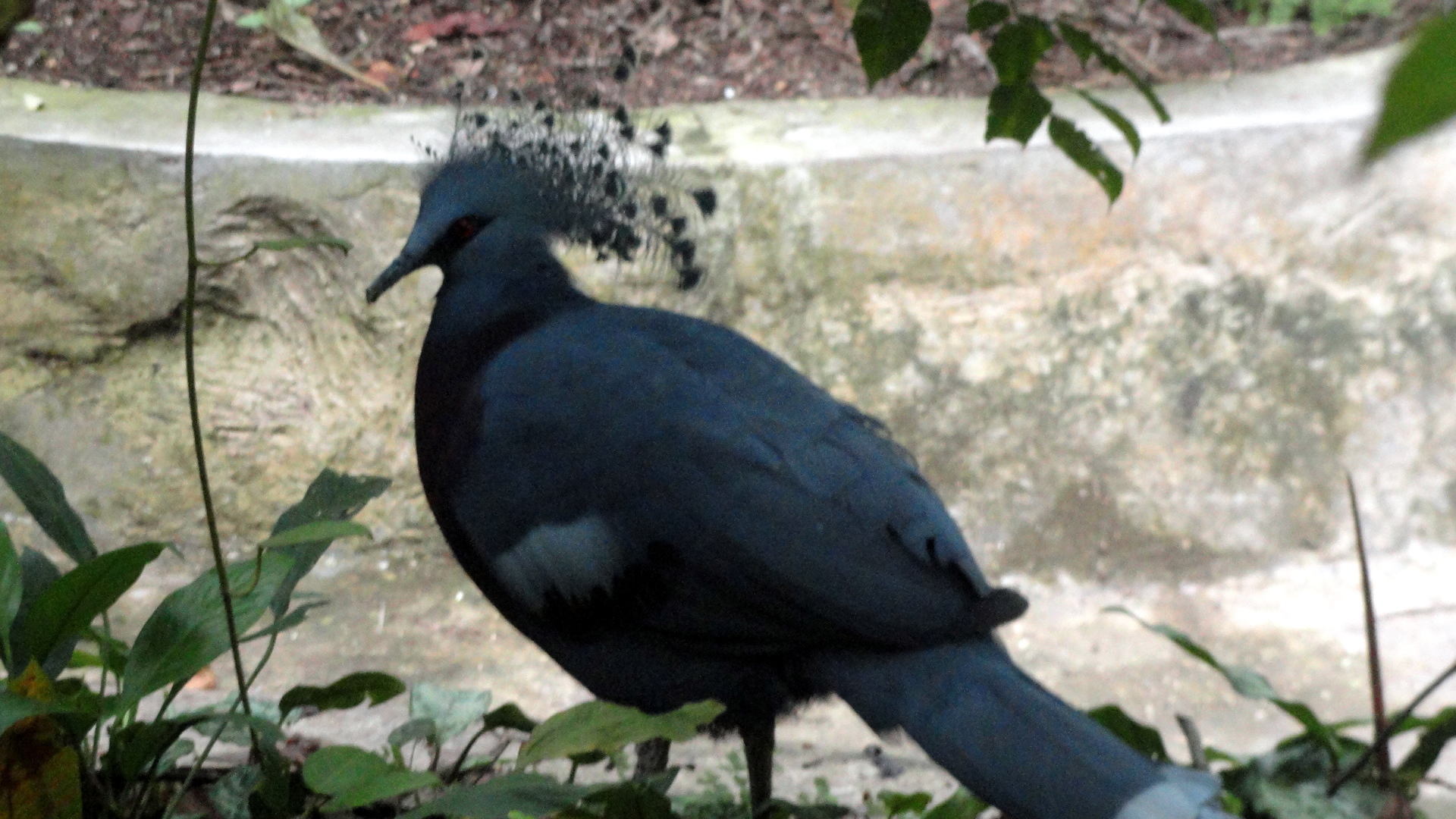
Northern Cassoward q-markShowy Pigeon

So the plan was I’d go back to the nature park, on a sunny and clearer day, with a bit more time than my last visit, and I’d try to complete my detailed study of the three types of cassowary on display there, and capture some better shots of the elusive birds of paradise as well as all the other fascinating fauna of PNG who reside there – such as tree kangaroos which on the last visit were looking rather depressed and hiding off in a hard-to-photograph corner of their enclosure.  (Interested viewers can, though, see a bit of tree kangarooness here if you’d like: https://somuchworldsolittletime.wordpress.com/2012/09/16/png-37-years-of-independence/

However, that sunny weekend day has not happened, and though I hope I’ll have a chance in the few weekends that remain to me here in Port Moresby, I thought it best to put the rest of the shots up for now in case such an opportunity does not reappear. So herewith my attempt to get a few good shots, on a rather gloomy day (it started pouring down rain as we exited the park, and the clouds had been building up, which is why some of the shots are really rather grainy and gloomy…sorry), of the ever-moving and highly unusual cassowary and a few of the other unique birds and beasts of PNG. Enjoy.

Wallabies Relaxing

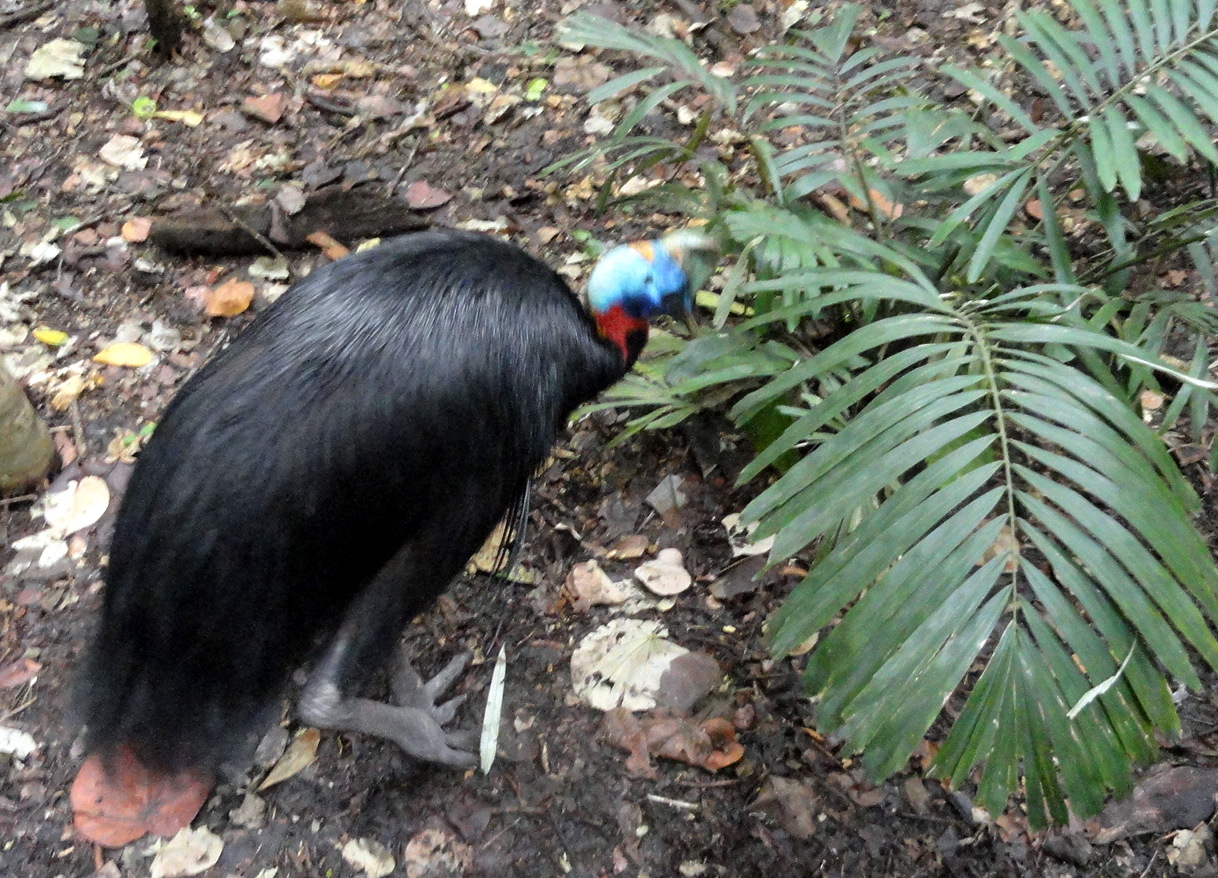
From the top, you’ve seen what I think is a northern cassowary (there are the northern, the southern, and the dwarf), what I think is a victoria crowned pigeon, and some kind of wallaby. I did, once, see wallabies hopping through the bush on one of the bushwalks – otherwise I mostly see this stuff at the nature park here in POM.

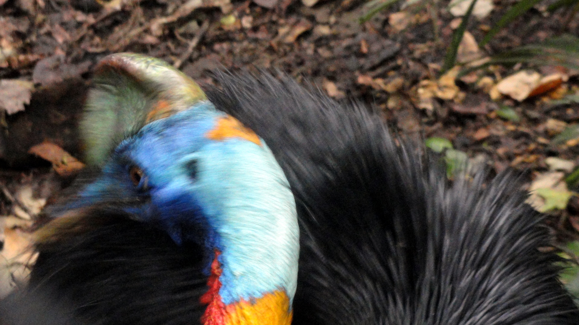
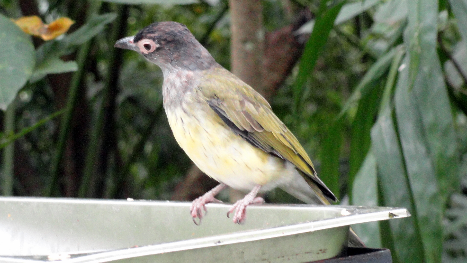
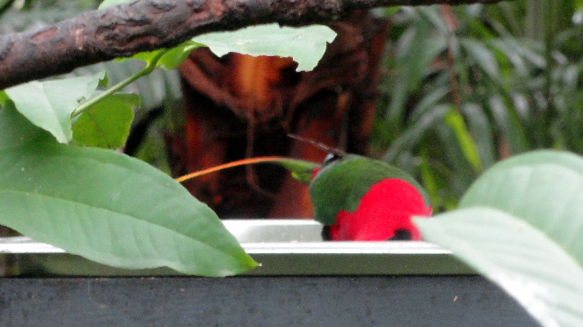
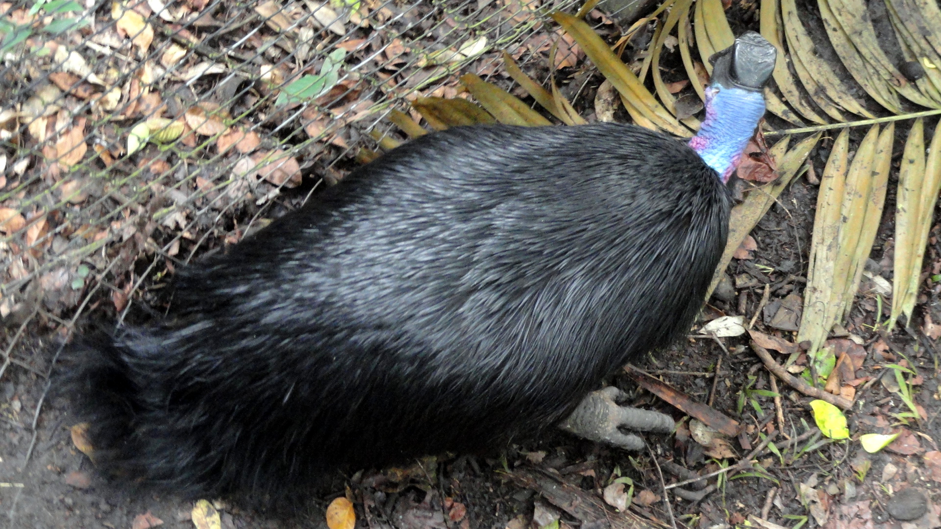
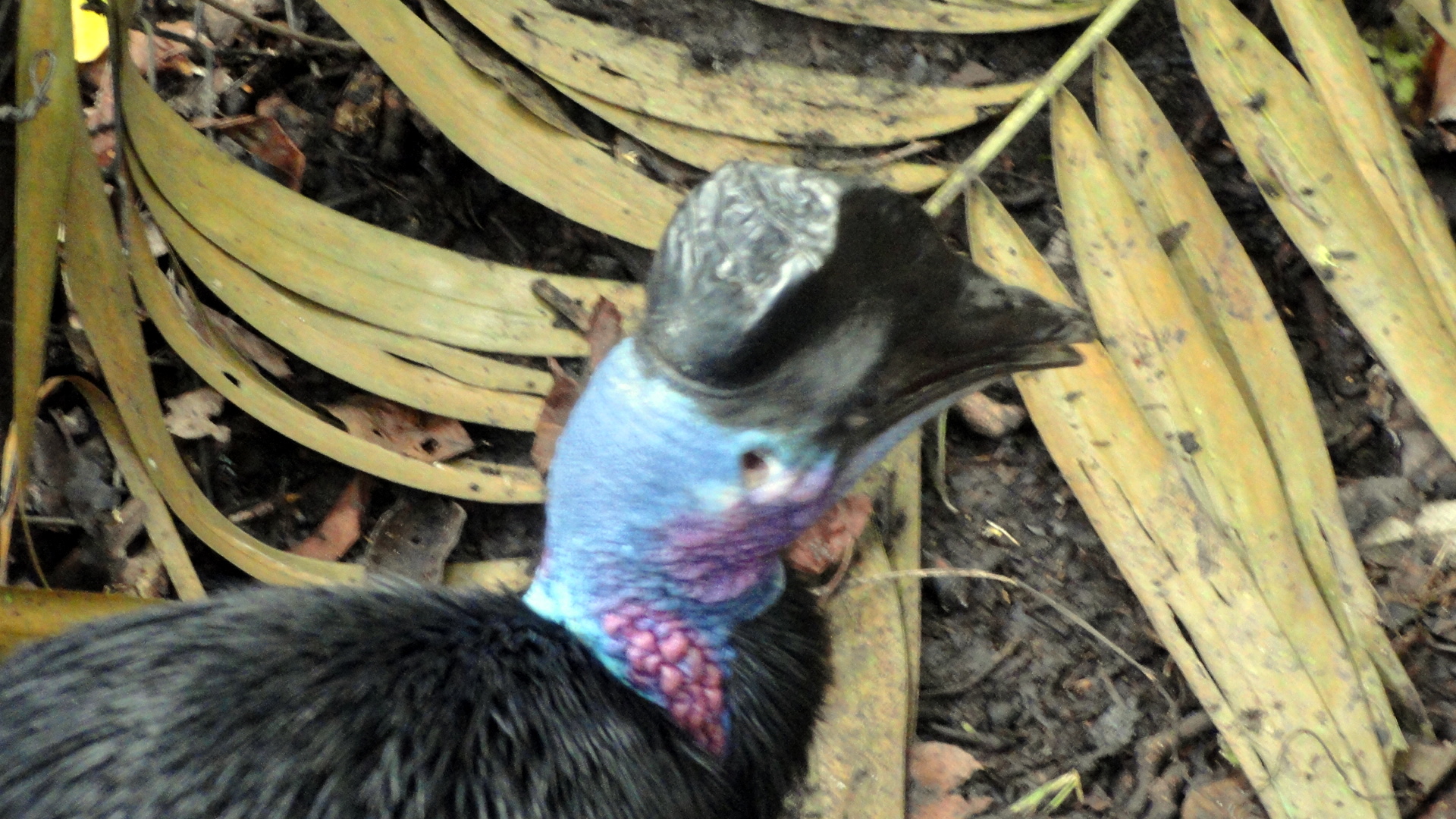
Two Wallabies Southern Cassowary Southern Cassowary Head Closeup Southern Cassowary Head 3 Southern Cassowary Head 2 Bird at Feeder Bird of Paradise at Feeder Dwarf Cassowary Back & Head Dwarf Cassowary Head Closeup Hungry Green Parrot

Sunny Moresby Harbor, Hills & Islands

Moresby Harbor Pano

Back in November, just after that wonderful ambitious conference we were part of, one of my friends had his farewell boat party. We motored out to an island just outside the harbor and swam, sunned, snorkeled and (in my case) got burned pretty solidly despite regular applications of high-factor sunscreen. As I wait for a sunny day to take me to the nature park so I can try to get some clearer pictures of those birds of paradise and cassowaries, I thought maybe I’d share a little view of where I am – though at the moment, it’s raining a great deal so the sky isn’t as blue as you see. Still, it’s warmer than my friends in North America are facing now – fear not, spring will arrive at some point. 🙂

Paul - Entering the HarborMoresby Harbor & Hills Moresby Harbor & Port Moresby Harbor IslandsMoresby Harbor ViewPaul on BoardMoresby Harbor Pano 2

Birds Beautiful, Birds Colorful, Birds Unusual

Hungry Green Parrot 2

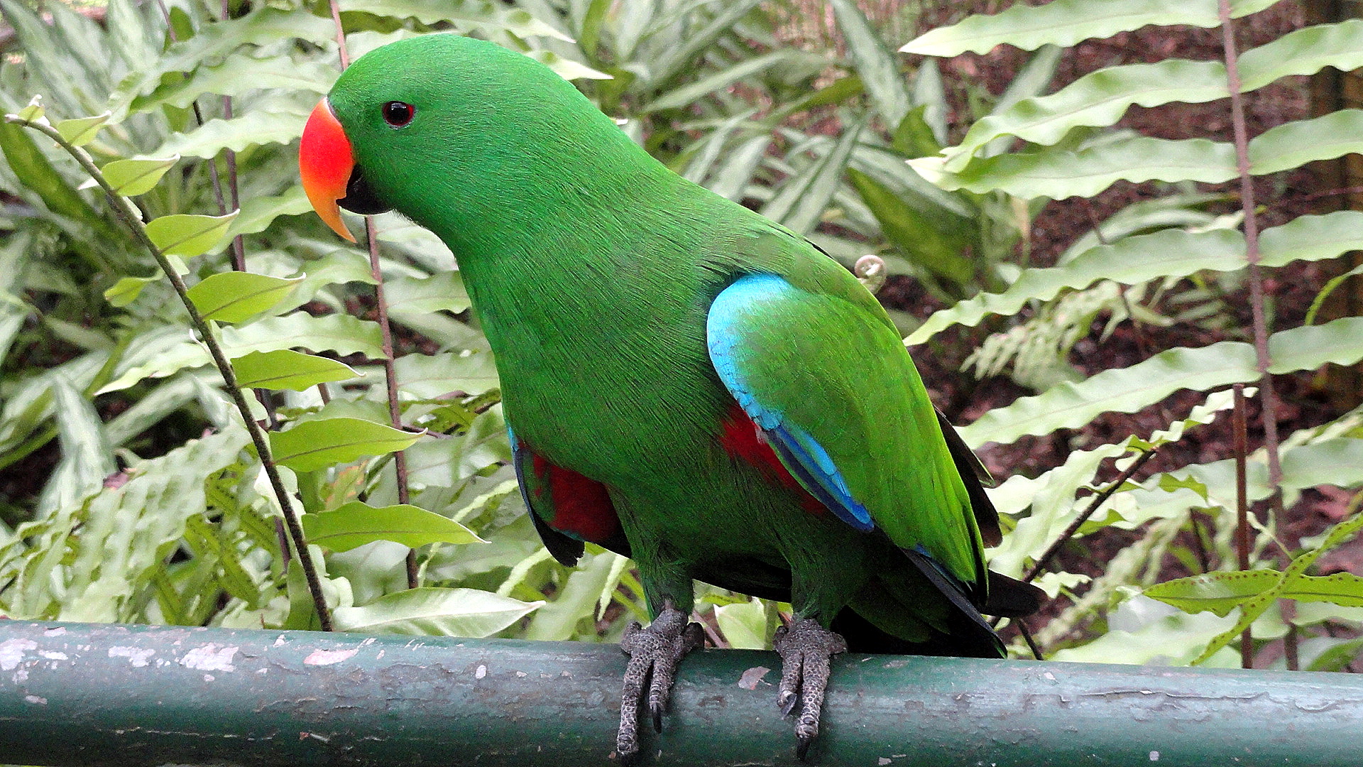
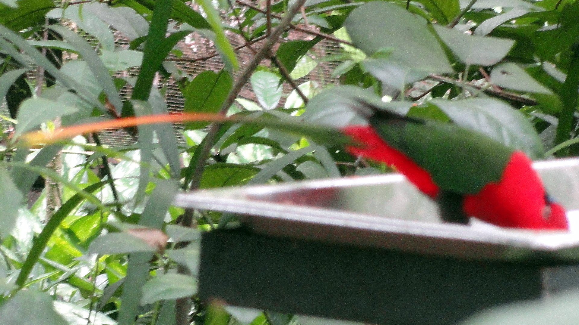
This post, I admit, is a shameless attempt to raise my monthly views above a certain ne’er before reached threshold. Not a major threshold by the standards of serious bloggers of the world, but a significant milestone in the humdrum blogging life of yours truly. And since I know many of my regular viewers have found the birds of Papua New Guinea – especially the noble and let’s face it remarkably odd-looking Cassowary – to be fascinating viewing, I figured these few appetizers of a future, longer posting, might draw enough eyes and enough views to raise me to a new level…which I shall then spend the rest of 2014 hopelessly attempting to not far tooooooo far below. Enjoy! 🙂Northern CassowaryThis next one, I am fairly sure, is some version of the bird of paradise — of which there are many versions. I plan to go back to this nature park one afternoon in the few weeks that remain to me here, and try to get the whole darn bird, but birds of paradise are like the cats of the bird world: they go their own way, unlike that grabby green lorikeet (?) that began the entry, who eyed my fingers in a way that suggested they could be nibbled like a baby carrot. I moved on rapidly, after taking that shot and another which shall grace these pages once I get the rest of the shots sorted and color corrected. For now, over and out – ciao and thanks!Bird of Paradise w Tail

Mountains, Rivers, Sounds, Rainbows…and Vineyards

DSC03640DSC03641

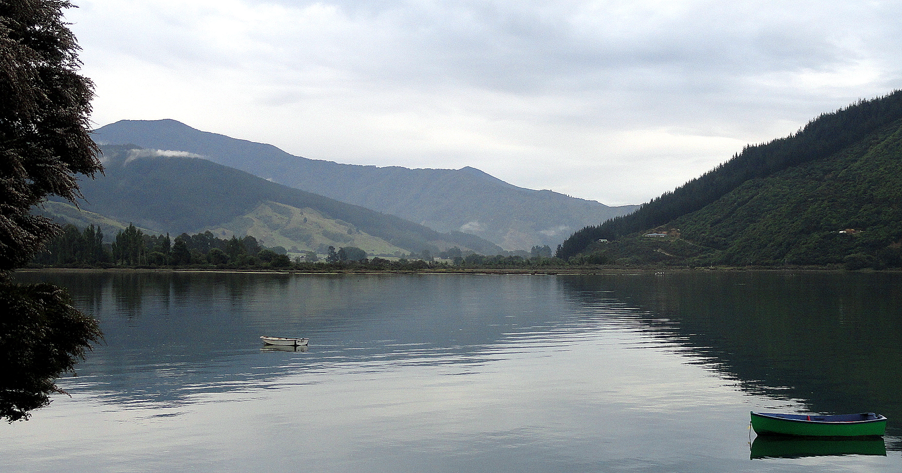
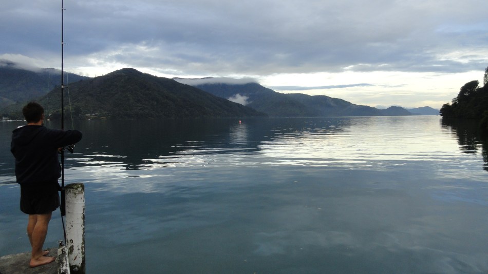
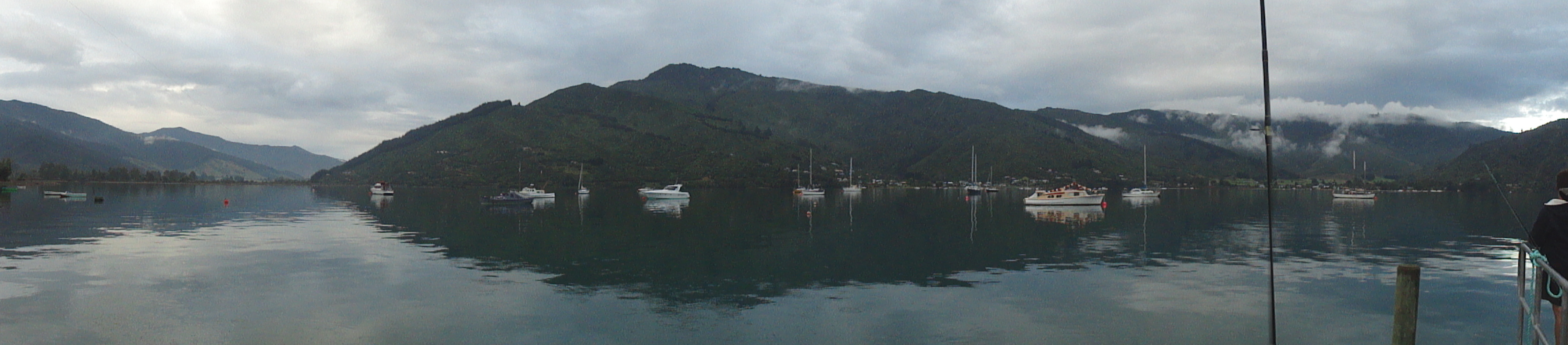
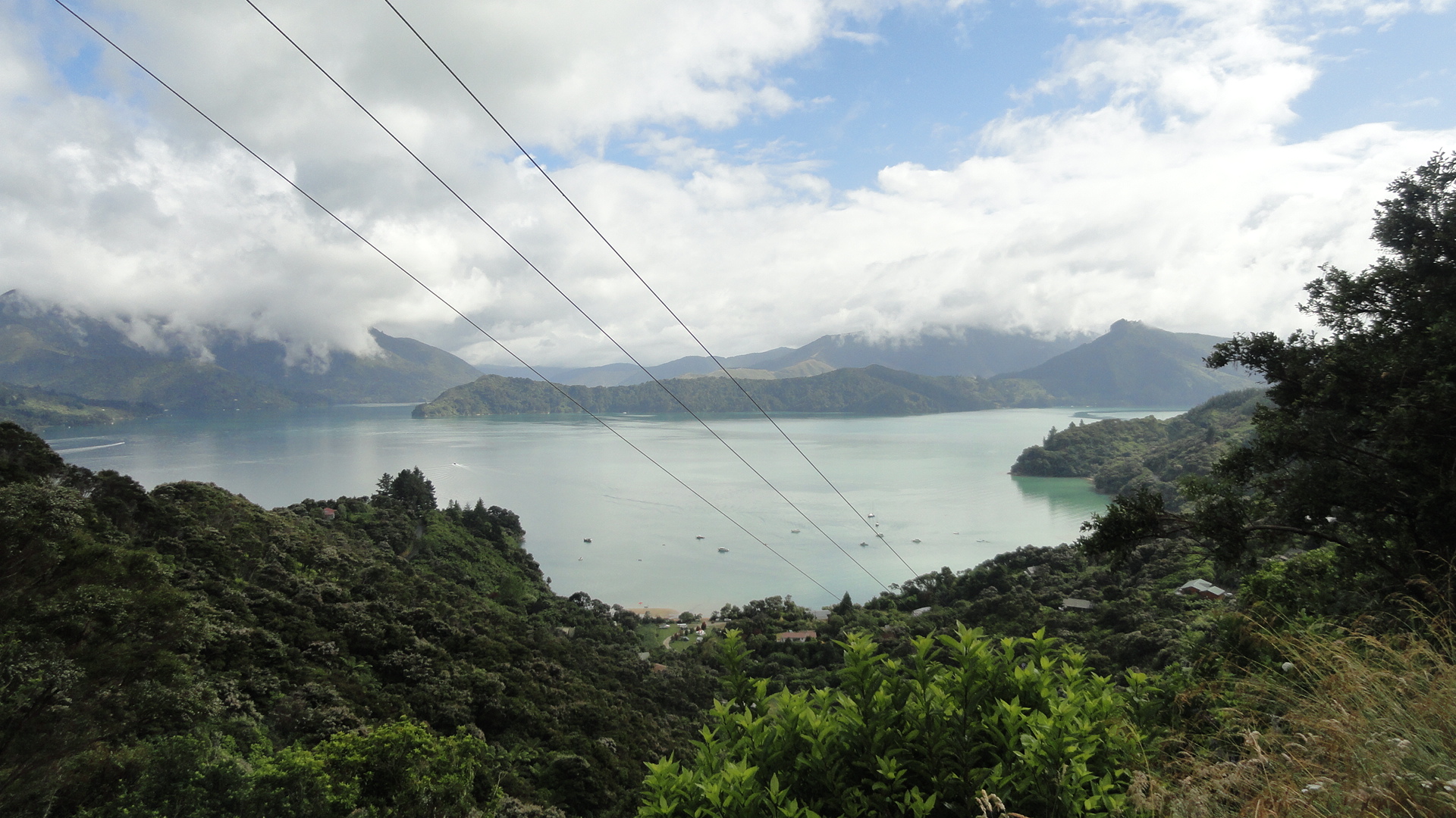
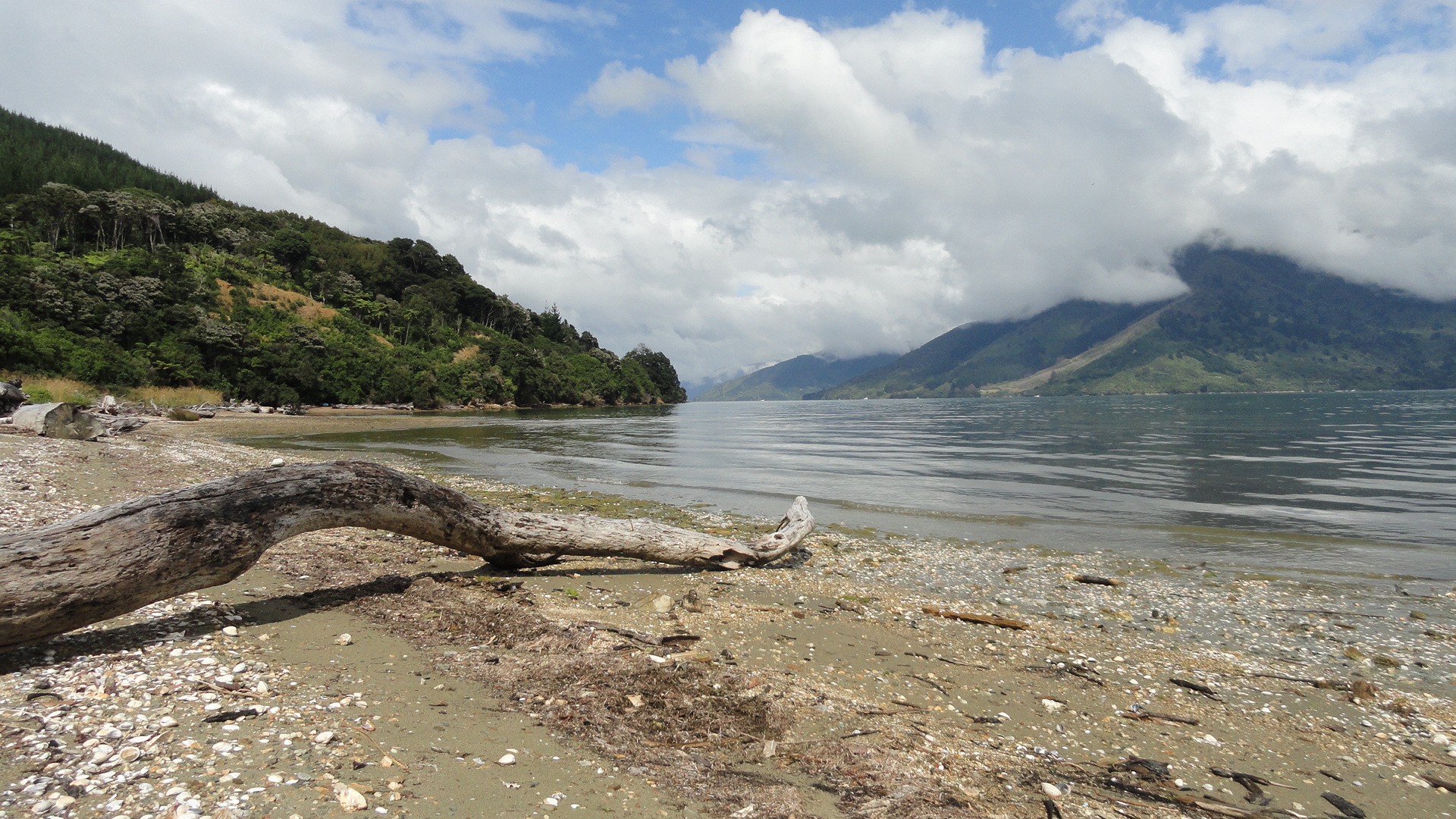
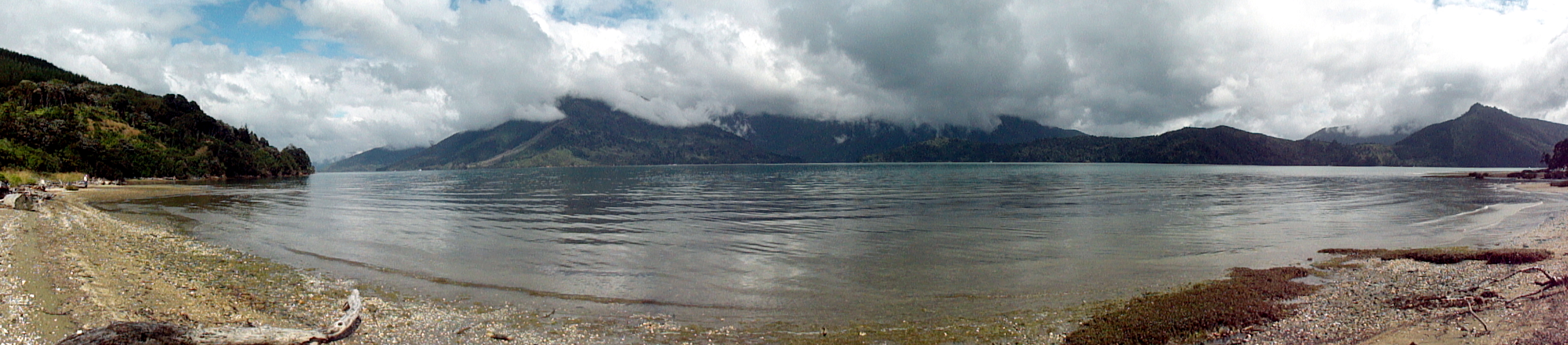
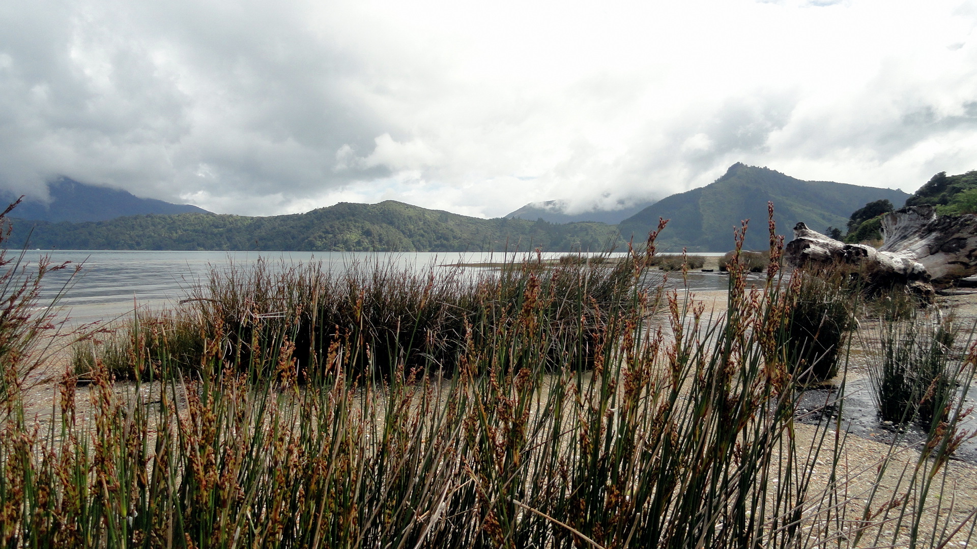
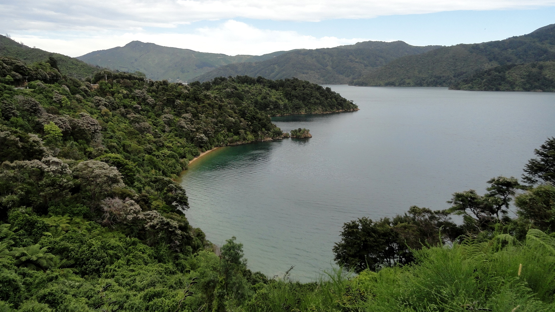
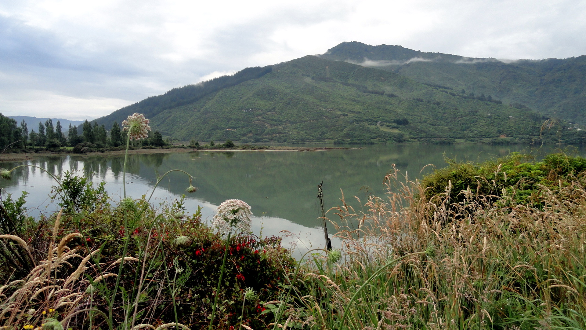
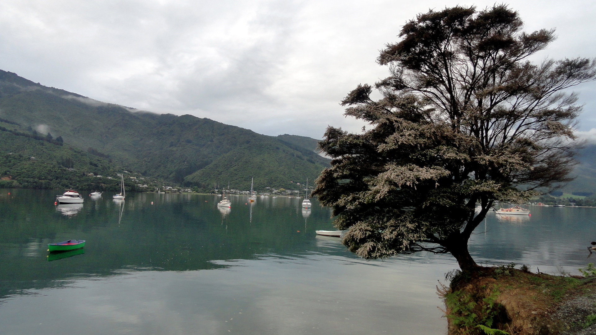
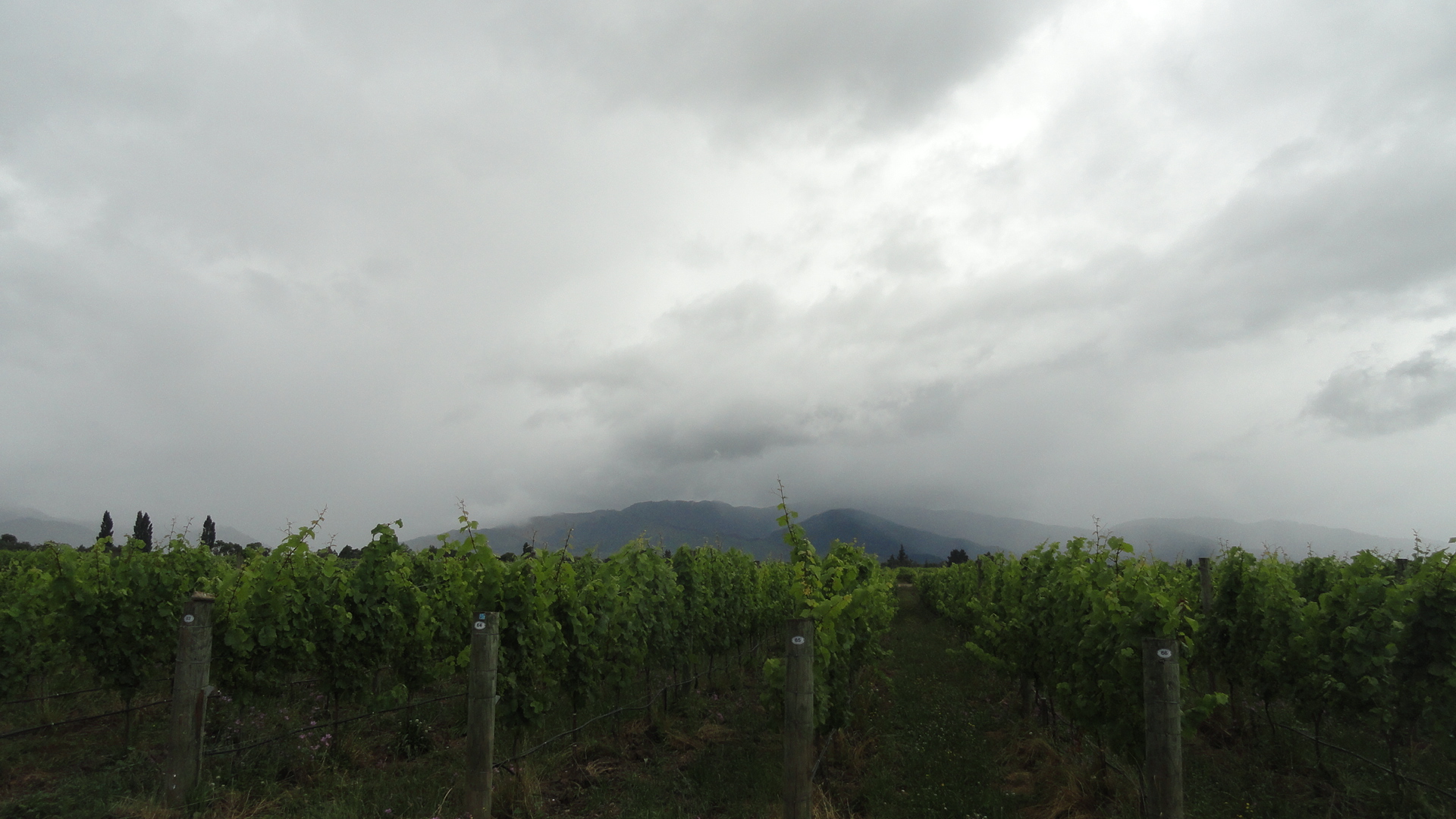
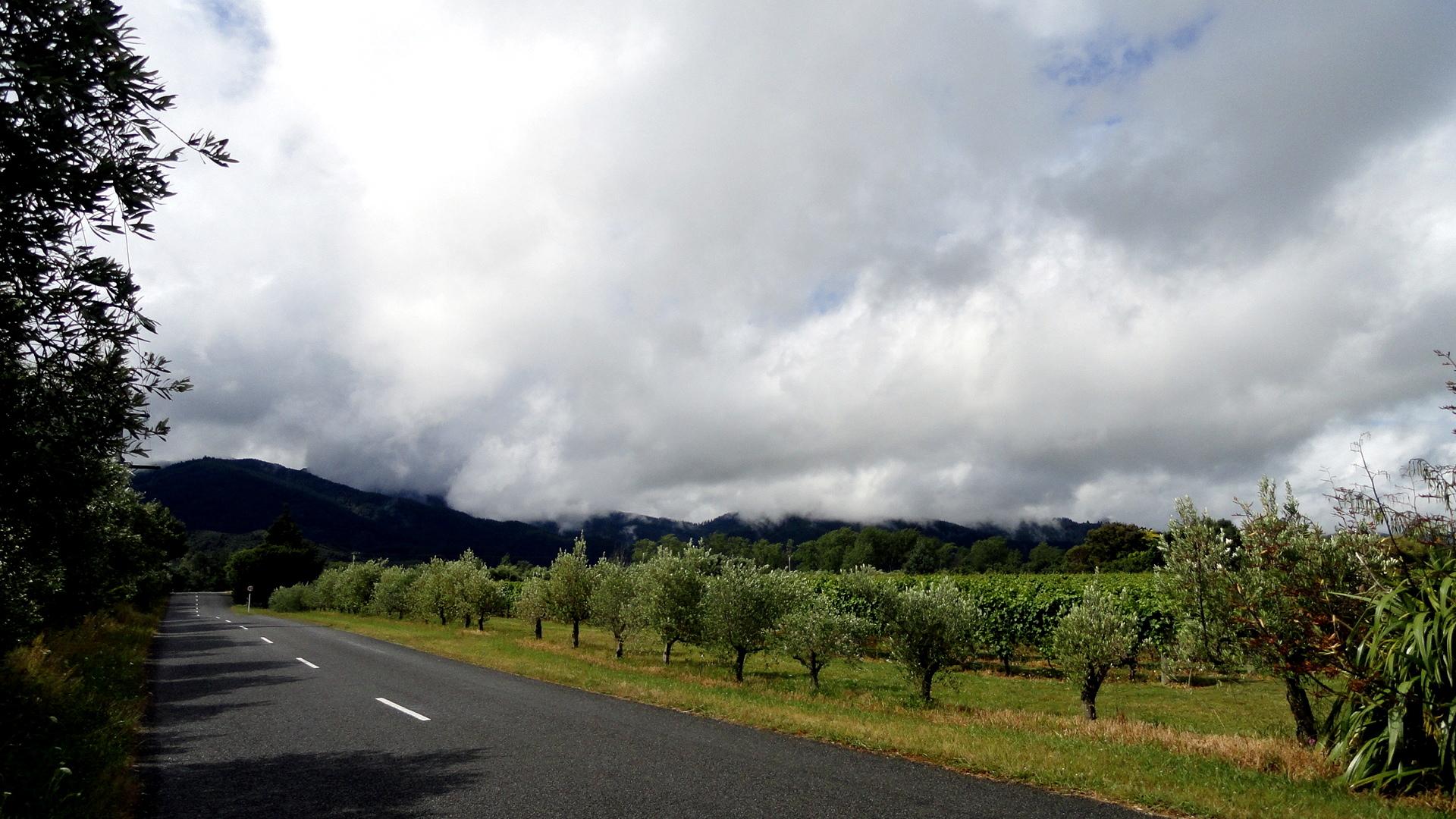
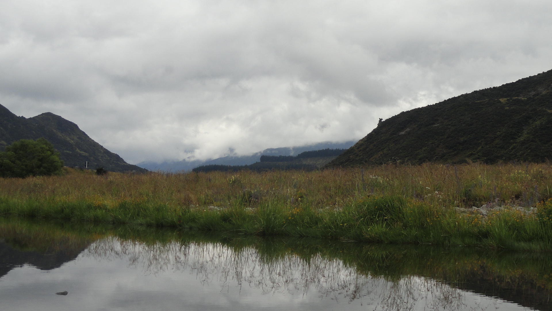
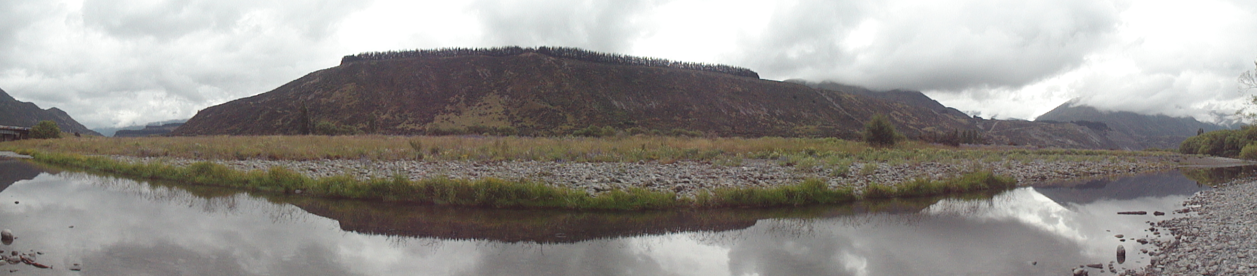
This is where we spent the last few quiet, peaceful, absolutely blessed nights on South Island, there at the tail end of 2013 with my mother and brother. These are the Marlborough Sounds; if you’re so inclined, google ‘linkwater marlborough’ and you will see exactly where on the map of the world the shots above were taken: at the base of the Grove Arm. With Howard and Gene, five years ago, we drove fairly rapidly through this area en route from Nelson to our Kaikoura Coast Trek, but I remembered it as a lovely spot well worth revisiting. Now I’ll remember it as one of those places on earth I could very happily live, or retire, if I could ever afford it. 🙂 A lovely mix of pastoral, agricultural, maritime, small-town, outdoor-adventure…you name it, you got it there from milk cows to fantastic kayaking and world class wines. (Wonder if NZ tourism will give me a cut for the referrals here…) Btw below are the panoramas giving you about a 280-degree view from the pier on which the above photo was shot.DSC03642DSC03643

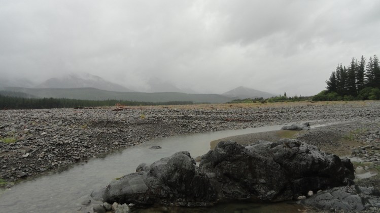
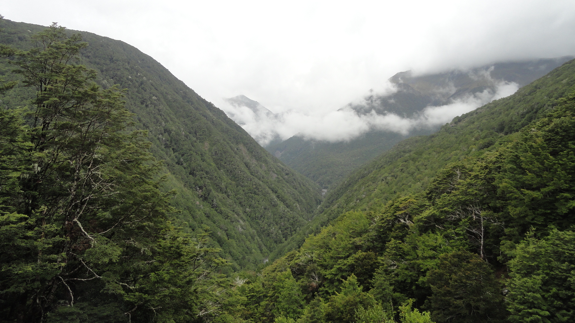
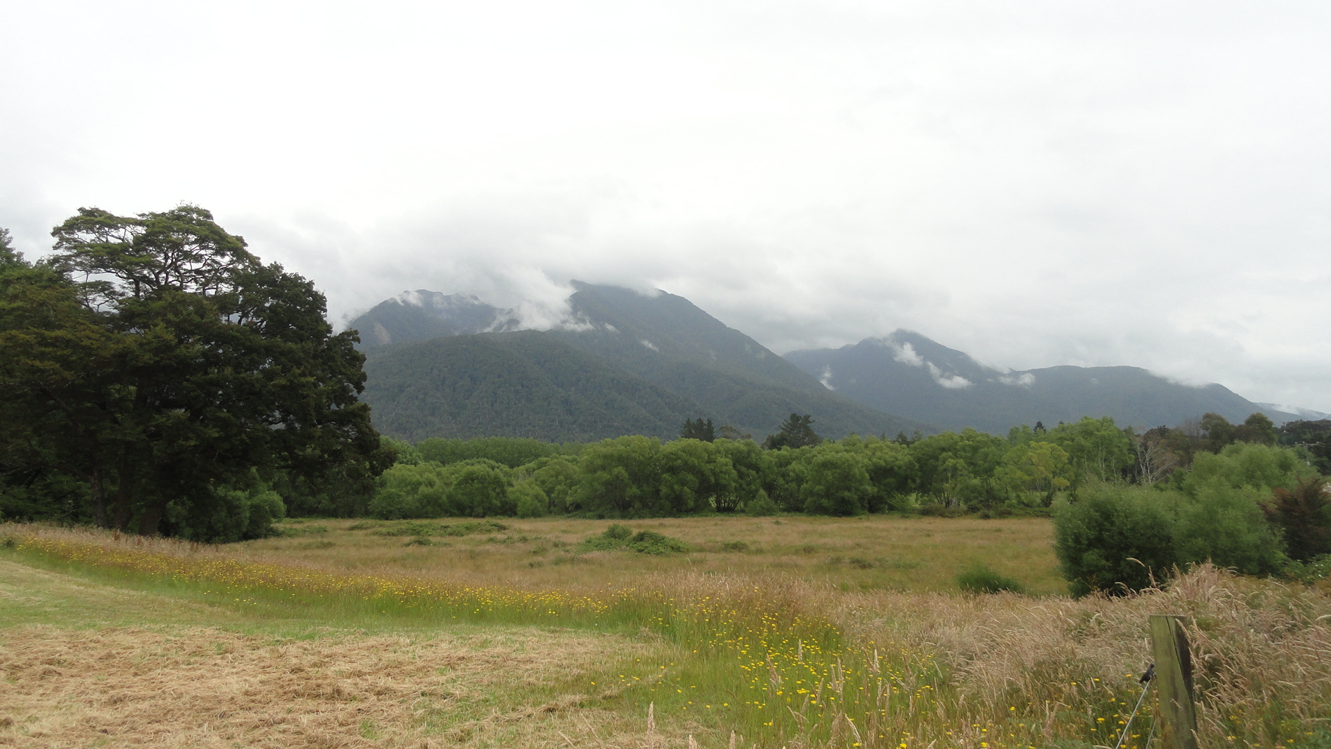
At the moment, a soft rain is falling on a Port Moresby Sunday morning, and I expect only to wake up in Port Moresby (or PNG more generally) on only seven more Sunday mornings. After having done precisely that for most of the past 104 Sundays, this comes not as a shock, but as awareness of imminent change. Friends on the email list have already started hearing from me about the plans, and in the months after March this space will feature more of North America and Europe than the South Pacific. And I’ll hopefully spend a lot of time on my bike and in the yoga studio. For now, my goal is stay focused and keep things on a steady course as we head into the home stretch. That’s all I shall say now: enjoy these shots of the Marlborough Sounds and Marlborough wine region, and some of the west coast and central South Island mountainy areas we drove through getting from Christchurch up to Linkwater. Peace, out, more at some point…
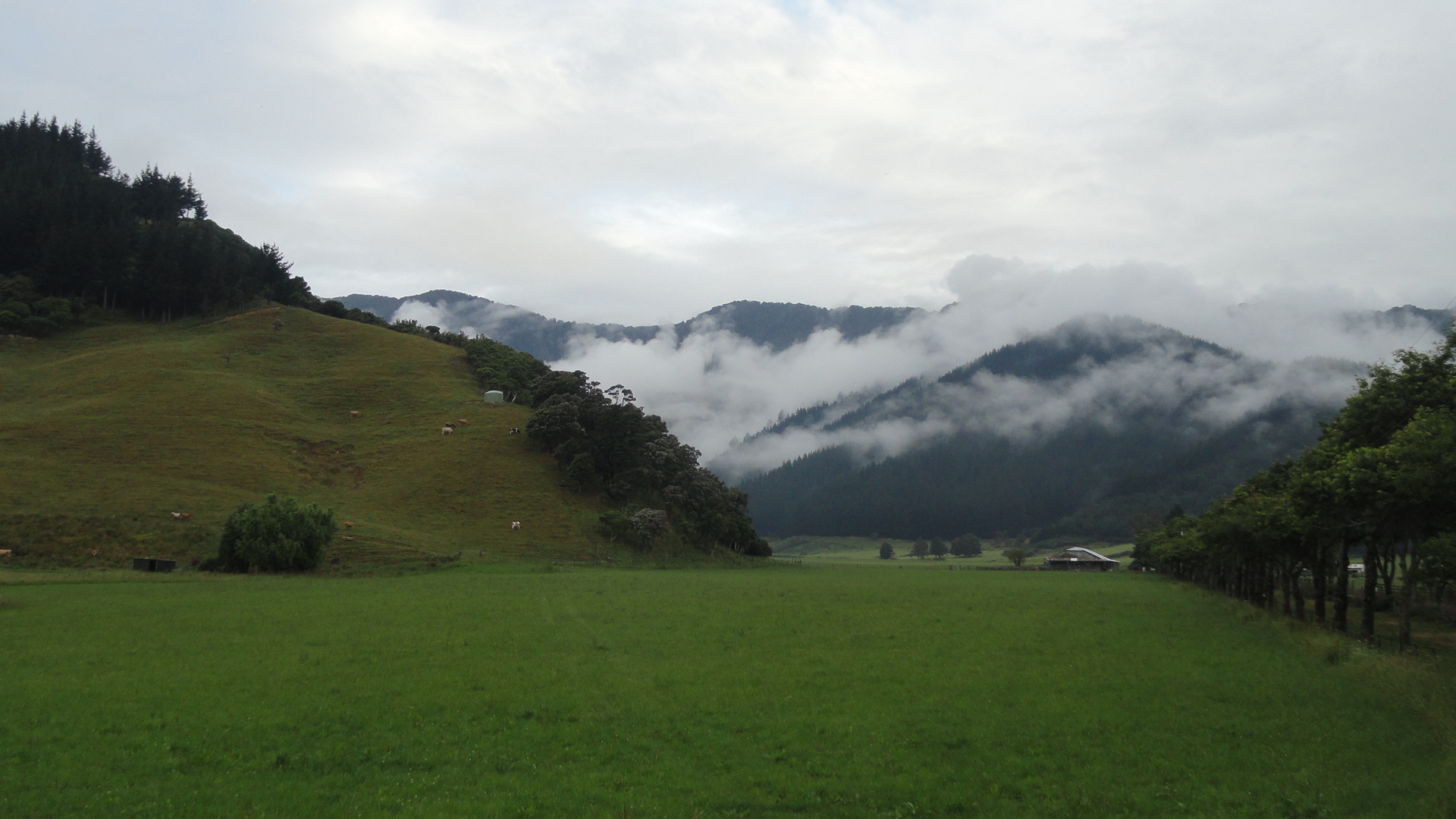
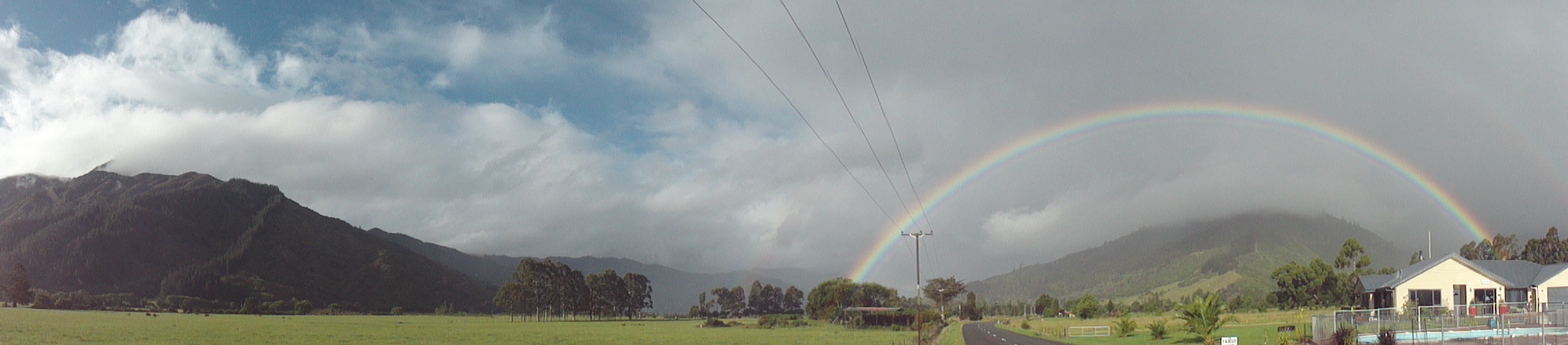
DSC03649 DSC03650 DSC03651 DSC03653 DSC03654All of these initial shots, up until the last photo of the bay with the green boat and the tree, which comes just after the display of mailbox pride in the Marlborough Sounds, are from the basic Linkwater area. If this appears correctly, below you see a rainbow and if you look closely you’ll note that it’s actually double rainbow. It was, in fact, the fullest, clearest and sharpest full double rainbow either Steve or I had ever seen. (Mom was napping.) After the mailboxes, you’ll see various photos taken of the mountains, rivers, and vineyards that extend around the middle of the island south of the Grove Arm and north-northwest of Christchurch, through which we drove on…the rainy 29th of December, to be quite accurate. Enjoy! Happy new year!DSC03667DSC03671DSC03672DSC03632DSC03636DSC03637DSC03634

DSC03638

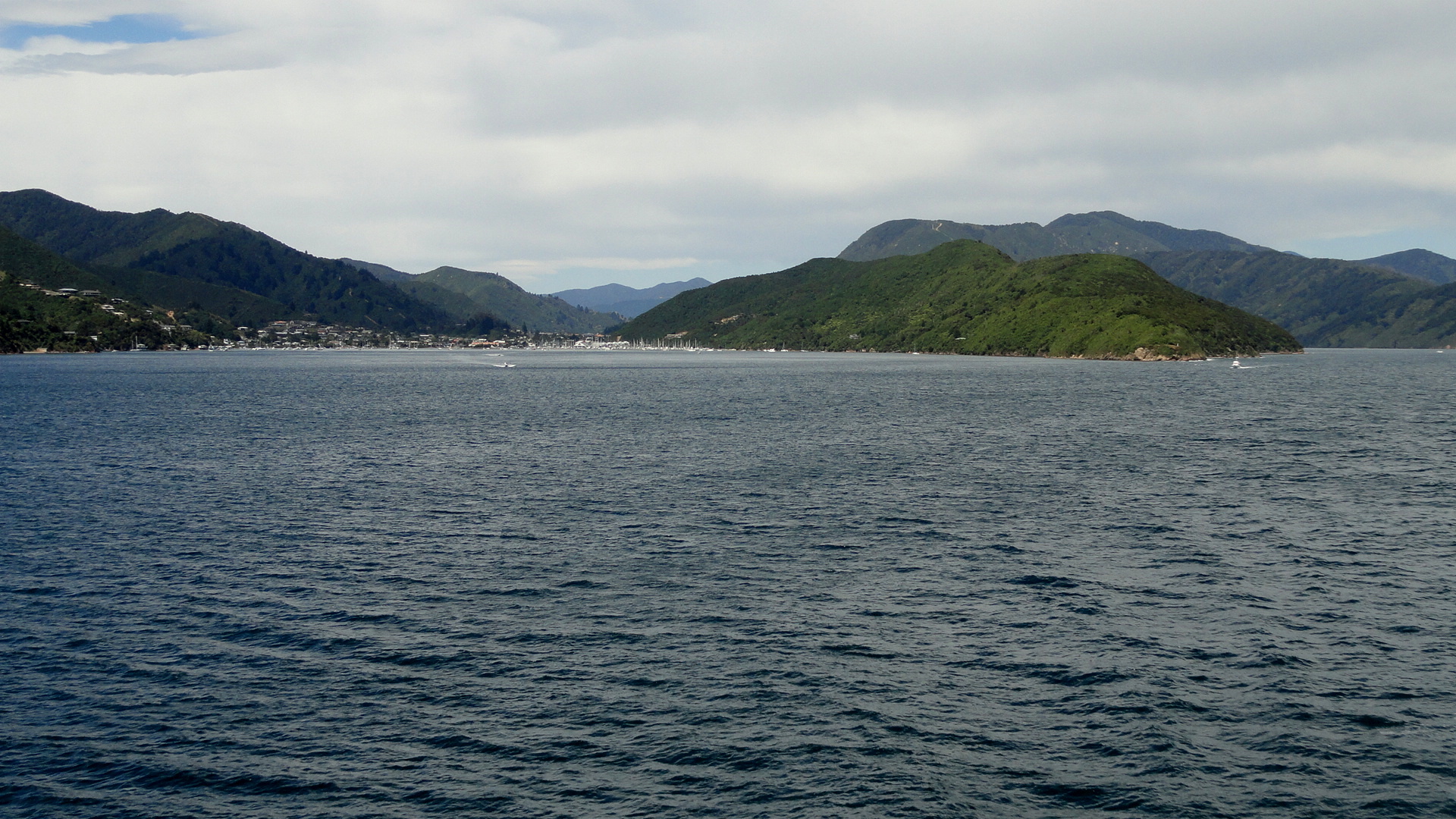
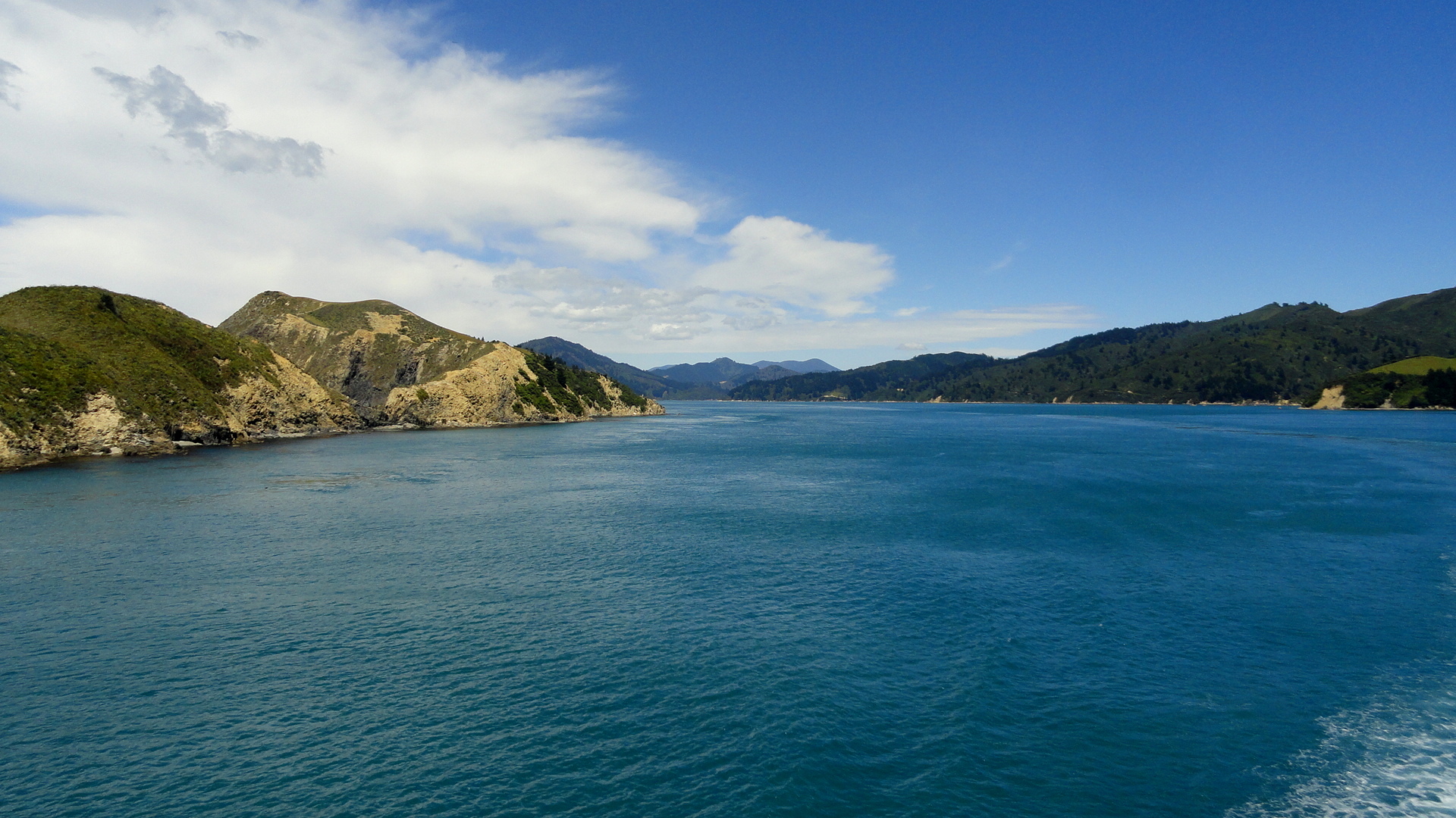
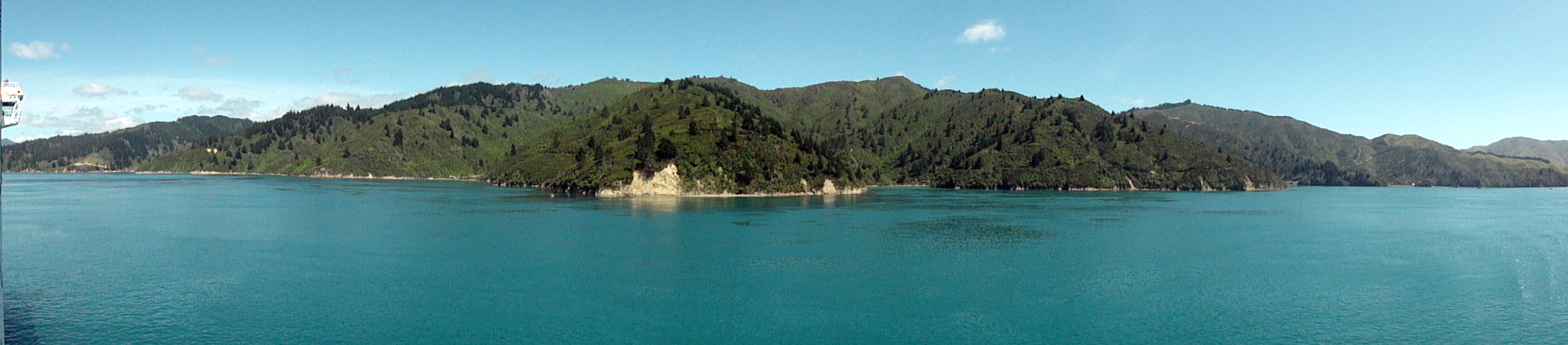
DSC03657 DSC03661 DSC03665 DSC03620DSC03625DSC03630DSC03628DSC03621DSC03624DSC03666And here some shots again of the Cook Strait as we departed South Island and headed back to North Island: below, Picton Harbor from on board; and a few shots below the exit from Tory Channel into Cook Strait with North Island in the distance; and further down a panorama shot in which you see both North and South Islands from the boat in Cook Strait.
DSC03678 DSC03680 DSC03681 DSC03684DSC03669

Central Christchurch, Climbing Back

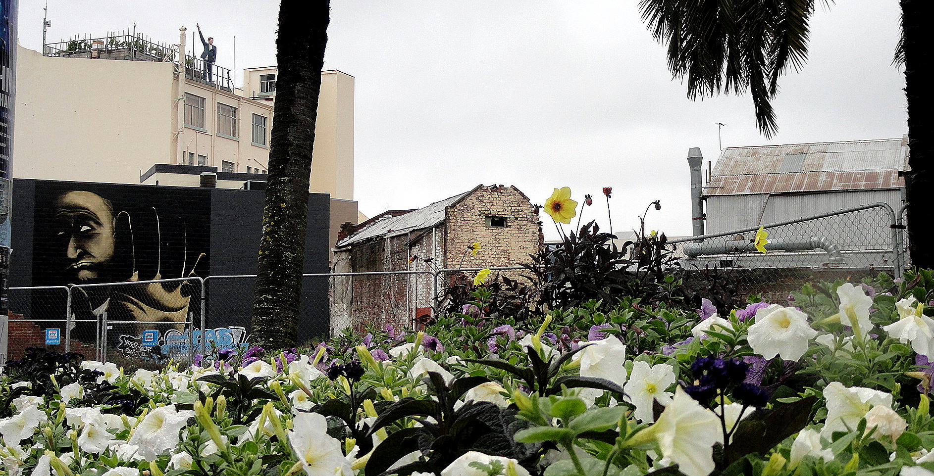
Man in the Sky-Street Art-Pansies

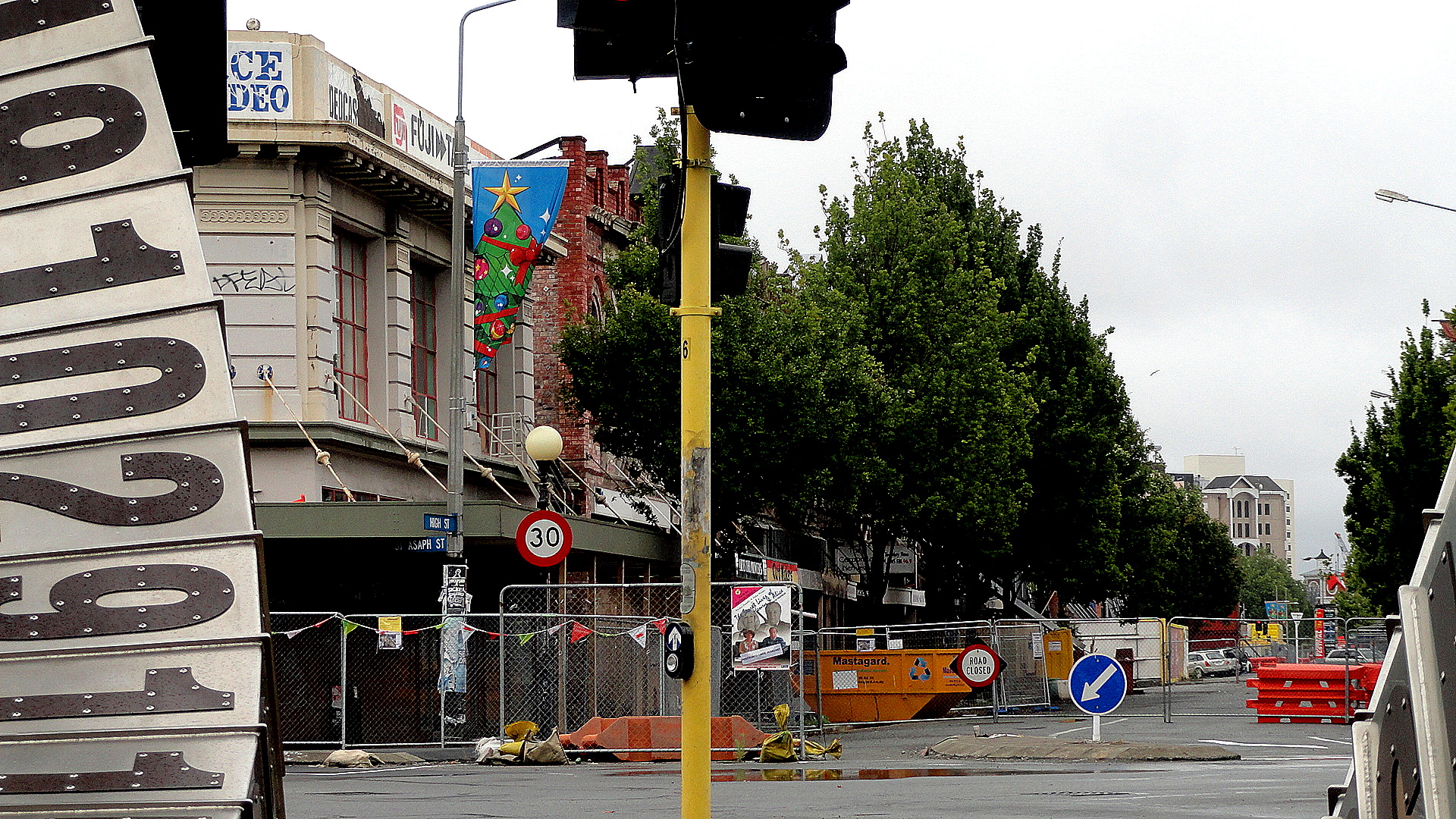
It’s a gray and wet Sunday morning up in the highlands, at Tari, where I sit as I load up these photos and think about what to write. Two weeks ago – shocking, that fact – I was driving with Mom and Steve from Christchurch up to the Marlborough Sounds area, via the longer & very scenic inland route through the mountains and along the rivers, rather than straight up the east coast. Having now been back at work for (only) ten days, that long and lovely drives feels ages ago, but reviewing these shots taken during a few rainy, sombre and emotionally-rich walks around Christchurch brings a lot of it back.

After celebrating Christmas in Queenstown, we headed up to Christchurch which I’d chosen to visit for two main reason: 1) because I felt Mom would really love the wildlife of the Banks Peninsula (and indeed, as attested by comments from Steve on one of the other posts, they did have a remarkable boating day out there), and 2) We needed to break up the drive back to the north somewhere, and this seemed a reasonable stopping point which I’d not previously visited — well, other than one afternoon in town when a plane from Dunedin–>Wellington got rerouted due to weather. I knew Christchurch had been hammered by one major earthquake and many substantial but less damaging ones in recent years. The major destructive earthquake happened in February, 2011 — so nearly three years ago.

Entrance to High Street

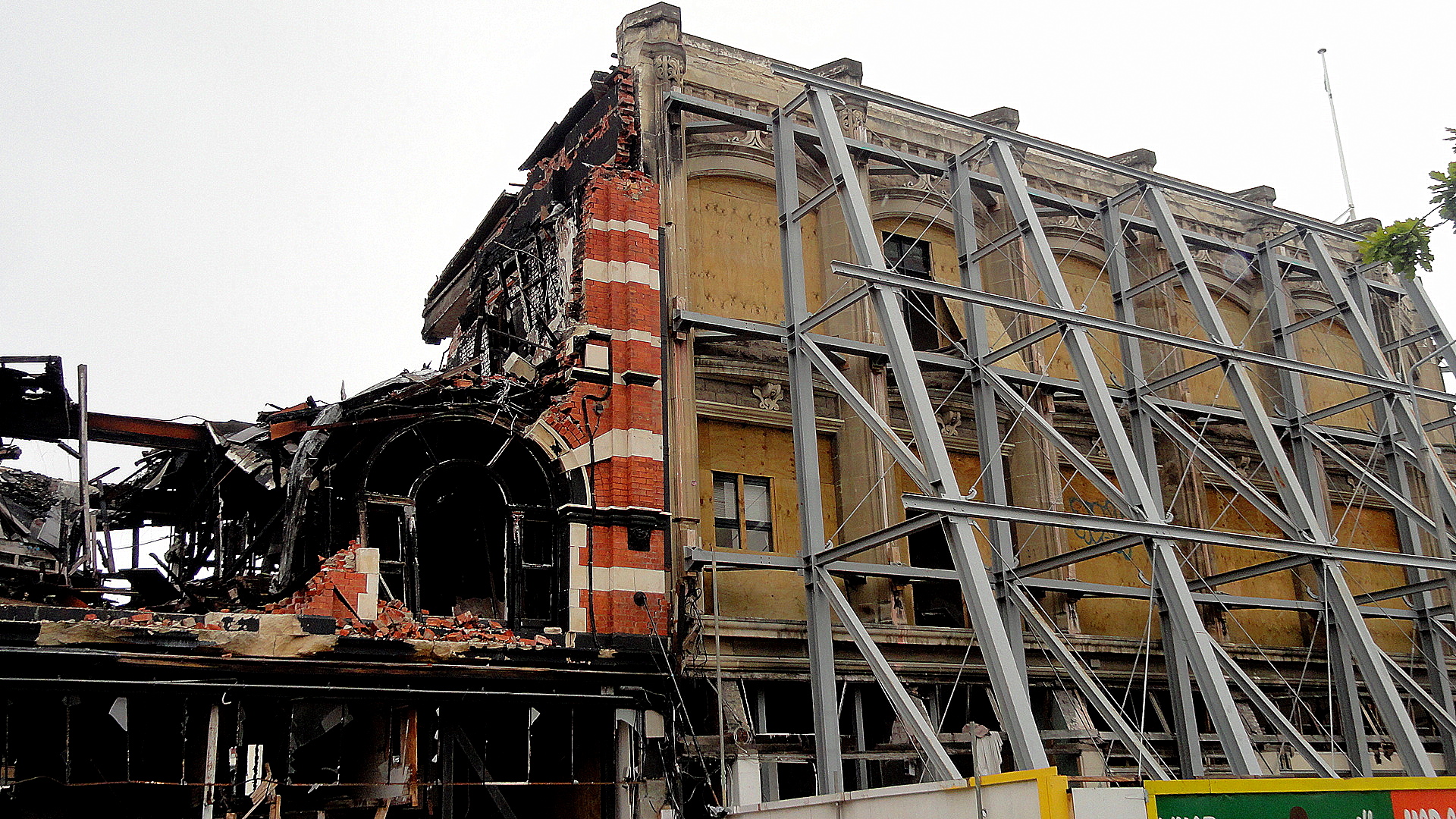
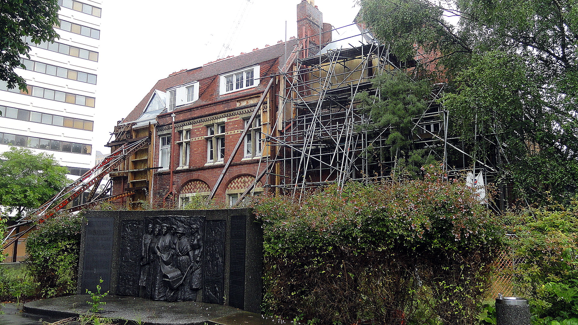
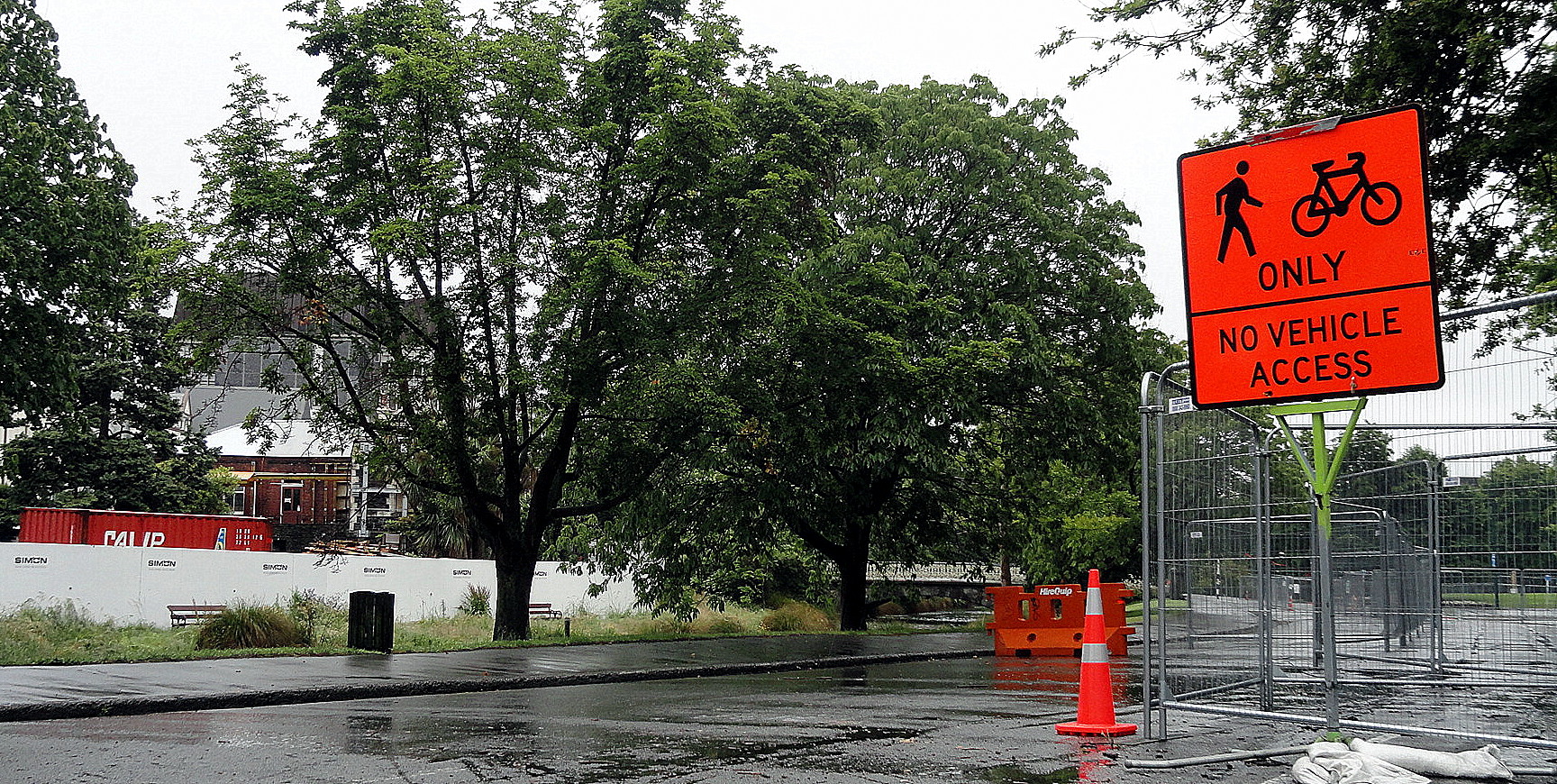
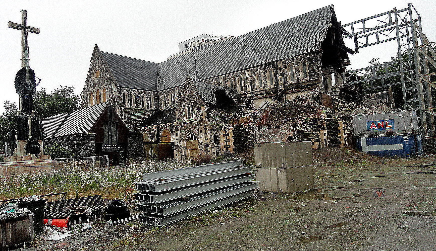
Being tired from the drives, needing respite from responsibility so that I could recharge a bit prior to returning to work here, I convinced Mom and Steve to tour on their own for our two days in Christchurch, which left me free to wander aimlessly about the city…which happens, when left to my own devices, to be one of my very favorite pastimes nearly anywhere I can get away with it in reasonable safety, especially when I’ve just left a field location where it’s not especially encouraged. Although the days were gray and mostly rainy, I hope & think I’ve still managed to show you a bit of what’s going on in the city now. It’s coming slowly back together – but it seems as though the city and its inhabitants – and its government – were in fairly major denial about the fact that they’re situated in an earthquake zone. There weren’t very strict building codes, lots of high buildings were allowed to be constructed on swampy ground which we’ve all known for years can basically liquefy in certain types of earthquakes…and generally, everyone seemed to have lived, until that fateful day, in blissful oblivion to the fact that they’re … well, in the Pacific Ring of Fire with all that entails.

Entrance to High Street 2

This fact caused me to consider, again, governance and its value and importance in societies. Lunatics who periodically hijack the government in my home country (they name themselves after an excellent hot beverage of Asian origin) like to delude themselves that government, as a concept, is by and large bad. I would so love those pampered and spoiled folks to live in some of the places I’ve worked over the years, places where government really and truly does not work, by and large does not functionally exist for citizens. In NZ, it does – and I’ve always thought of NZanders and practical, egalitarian, pragmatic and above all fairly realistic. Thus it came as rather a surprise to me that the society and government hadn’t determined, prior to this disastrous event, that strong building codes and earthquake retrofits were in order. Still and all, they didn’t – and now the city and the sense of shattered elegance, of confidence lost, brought some tears to my eyes. It’s a very sad and shocking city now, but it’s also an inspiring city in the ways in which people are getting on with business, building codes and zoning are now being strengthened, and slowly but surely Christchurch and its inhabitants are determining what sort of city they will be in the future. I’m glad I visited and I wish them well with their efforts.

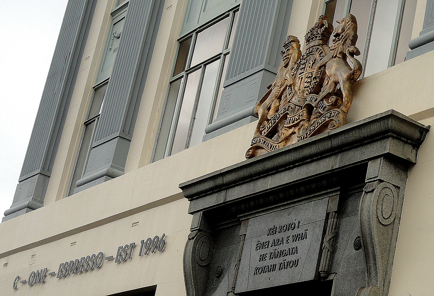
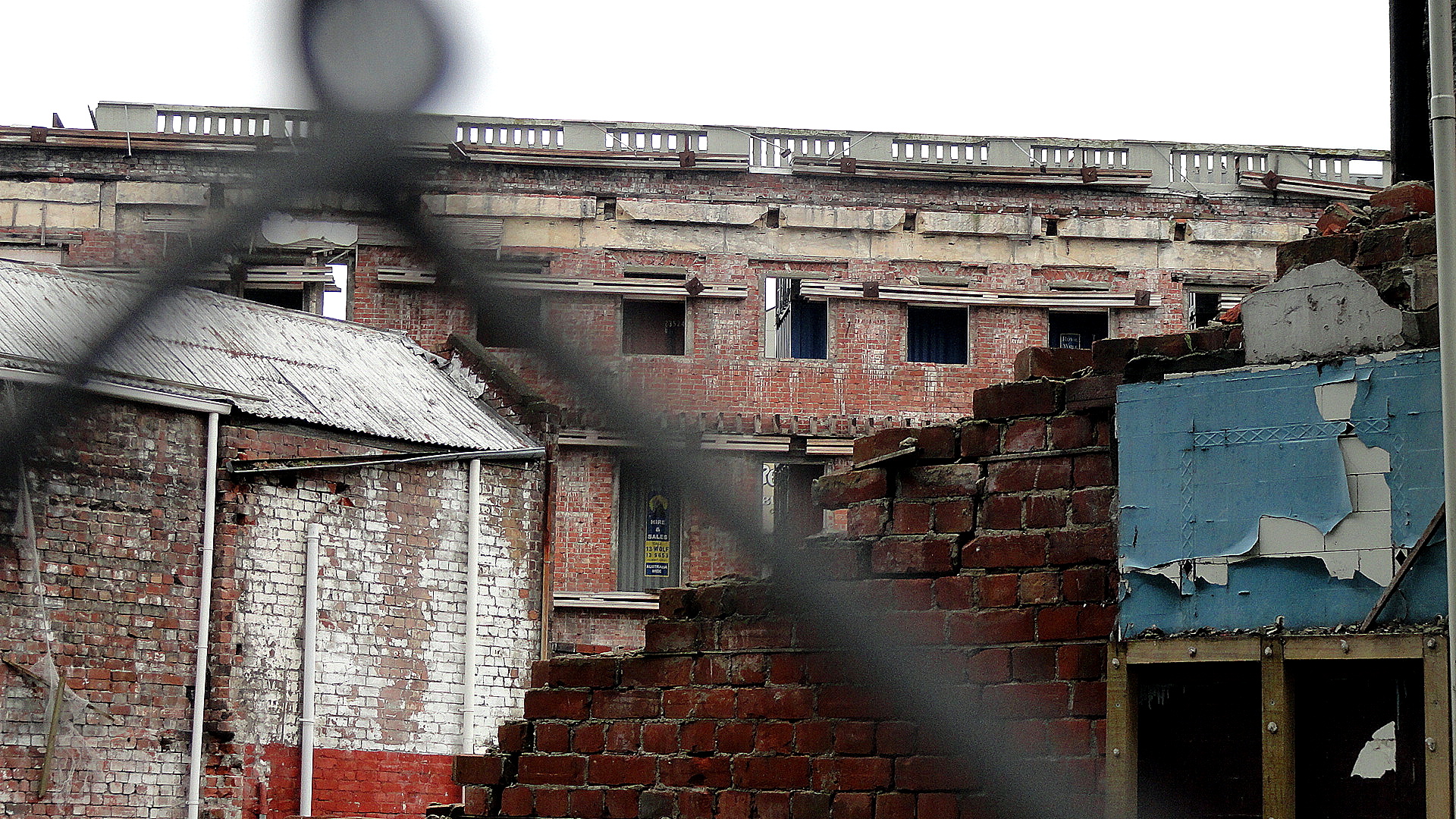
High Street Bldgs from BehindCafe Amidst the Ruins…every shot so far has been taken in the same small area along High Street near our hotel. Immediately above, with flowers at the bottom and wrecked buildings behind, you’re seeing the back side of the buildings whose fronts are lined up along the (now closed to vehicular traffic, as are many streets all over central Chch) along High Streeet — which make up the shot below and many others; and the start of which is framed by sculpture in the two shots from slightly different angles up above. High Street runs from the southeast edge of central Chch right up to Cathedral Square, the heart of the city as it has been until at least now. (With new building codes there are areas where, I am told, they have determined no longer to build: doubt this is one for emotional-pride reasons, but don’t know.) The coffee shop whose lintel I show here is literally the one building standing tall amidst these ruins, and it was jam-packed with customers coming from and going to the gym when I visited; the Man in the Sky (my name for him – no idea what he is other than interesting art) whom you’ll see a few times is on top of that very building: all of these shots are from really a quite condensed area in the heart of downtown Chch, which was the area most dramatically affected.

Along High Street 2 High Street Details
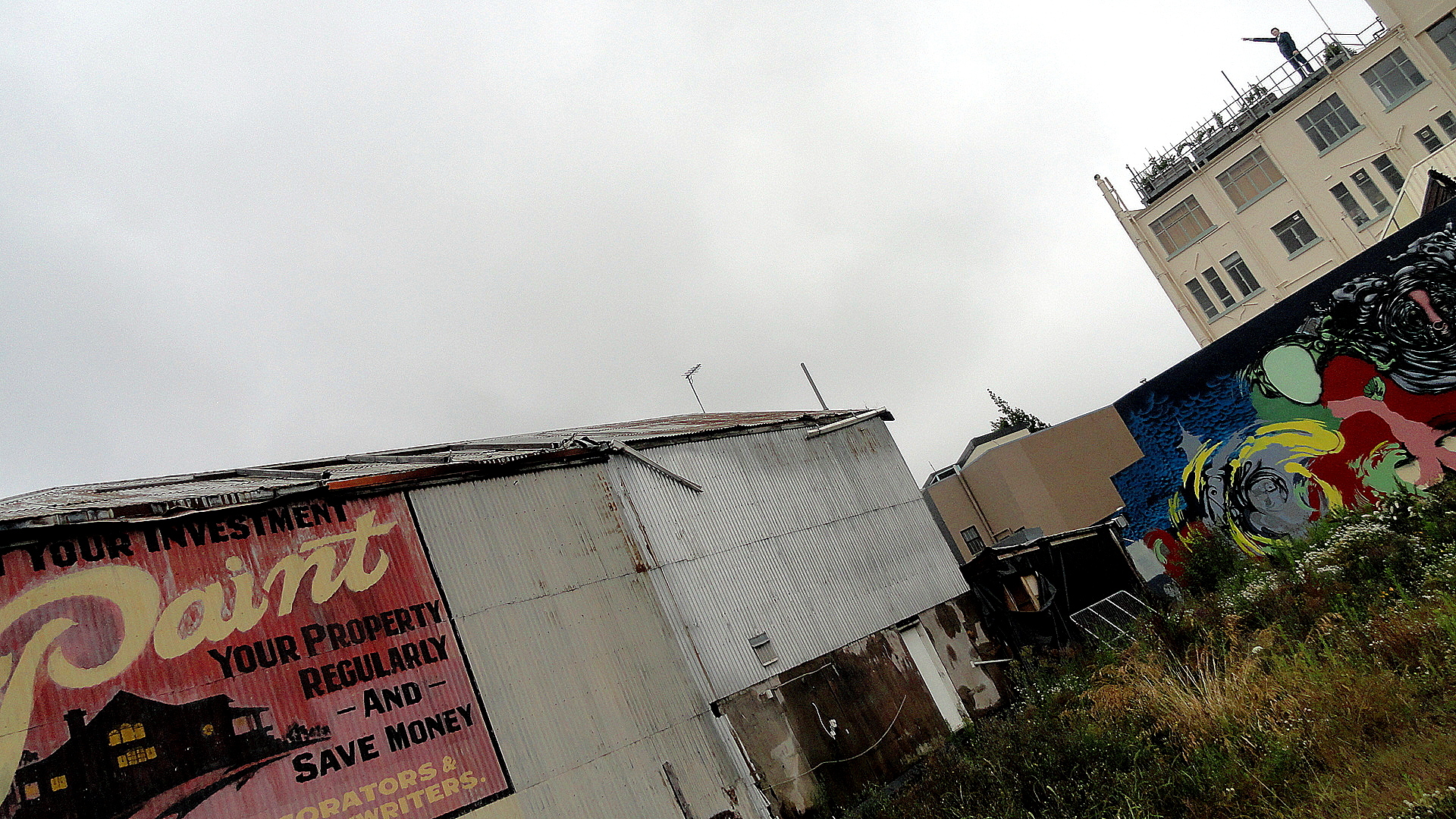
Patch of Blue Through the Fence Protect Your Investment“Protect Your Investment” — looks old enough that it may mean this lot next to it was vacant even before the earthquake, but it’s also possible it was just an old ad protected by the building next to it for years and exposed when the building next to it came down. Said one guide: central Chch used to have a serious shortage of parking; not any more. In that, I was reminded of SF after the Loma Prieta quake. You can see a less artsy view of this ad, the graffiti next to it, and the building housing the cafe and supporting the Man in the Sky in the gallery of smaller images, down below.

Theater and Wildflowers
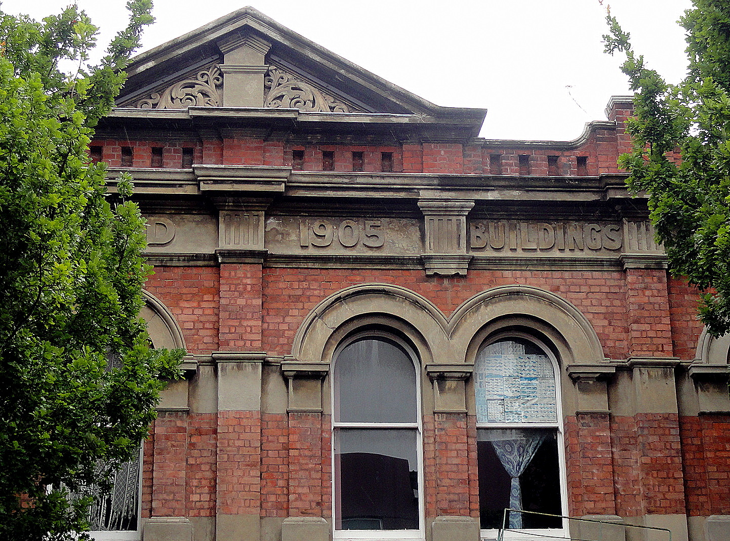
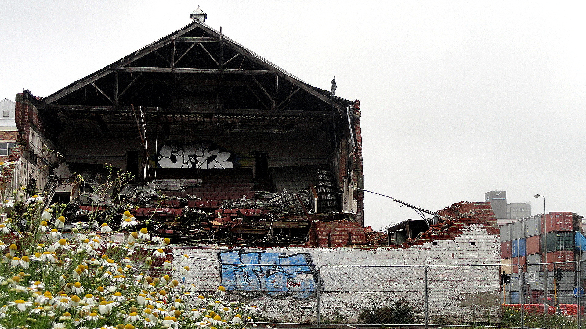
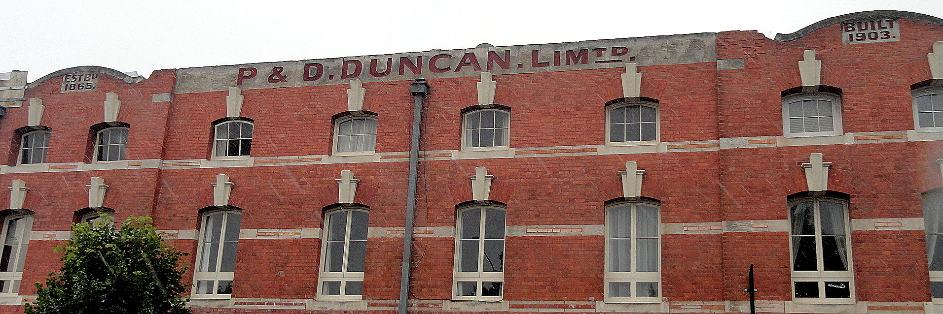
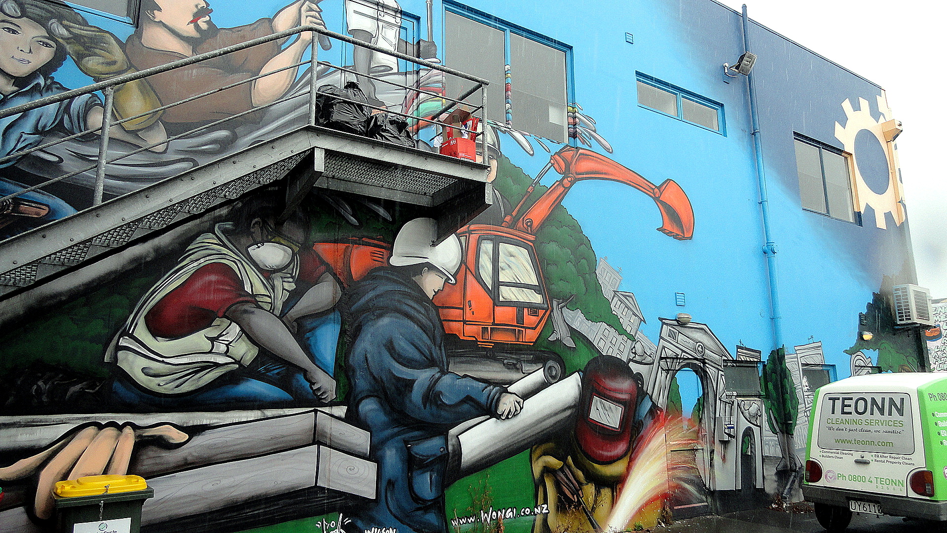
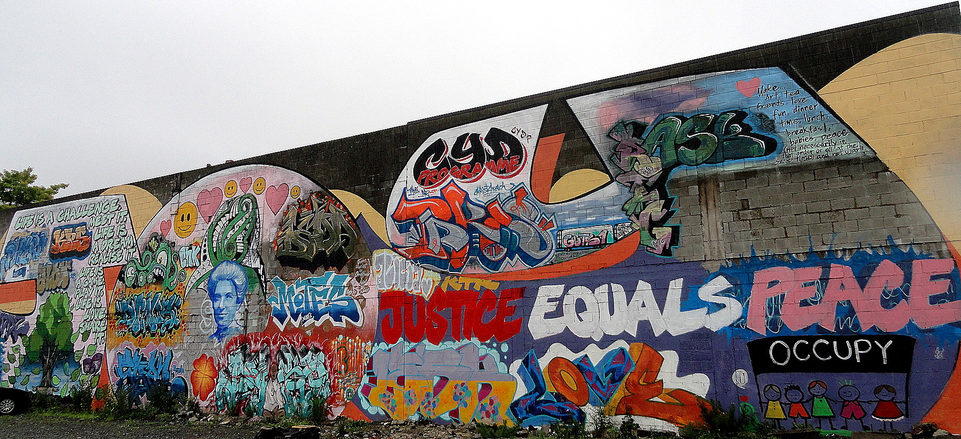
Est'd 1865-Built 1905 City Rebuild Street Art Occupy Street ArtThe more upbeat street art, above, is painted on a city-government rebuild or jobs office of some sort. Immediately next door is the more political occupy-movement street art: sort of dueling street art, eh? One thing that vacant lots present is many such opportunities for artists. Just below I’m showing you how they’ve used rock-filled containers to form retaining protective walls in front of structurally-unsound buildings whose fate has not yet been determined or carried out, so that passing pedestrians or vehicles won’t be harmed if they crumble further in a subsequent earthquake etc. Btw, this building below is the theatre you saw with wildflowers, above. And it’s catty-corner across from the “Protect Your Investment” lot.
Protective ContainersRe START Mall

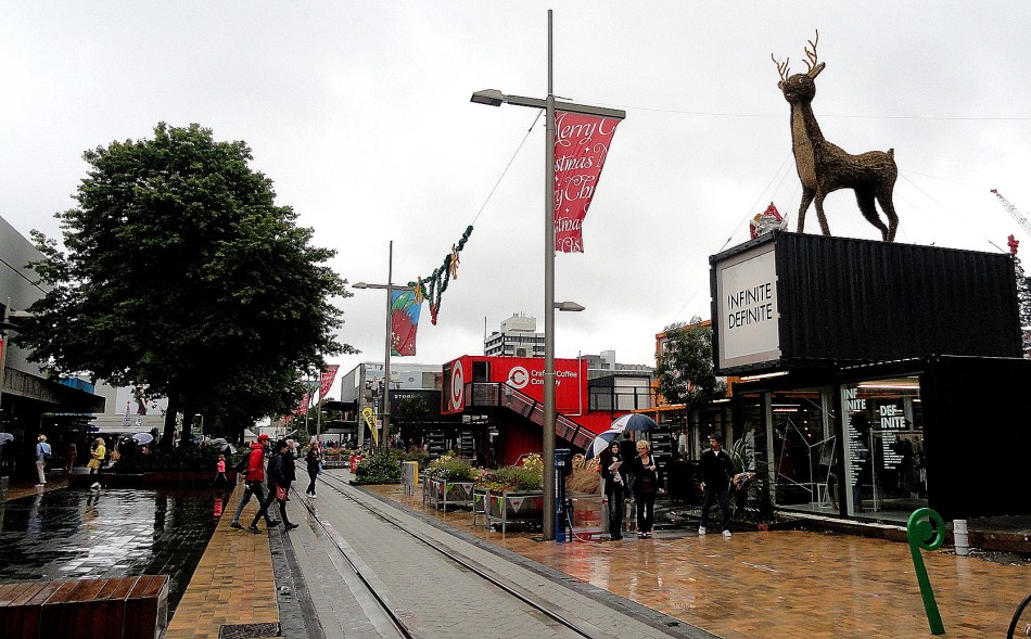
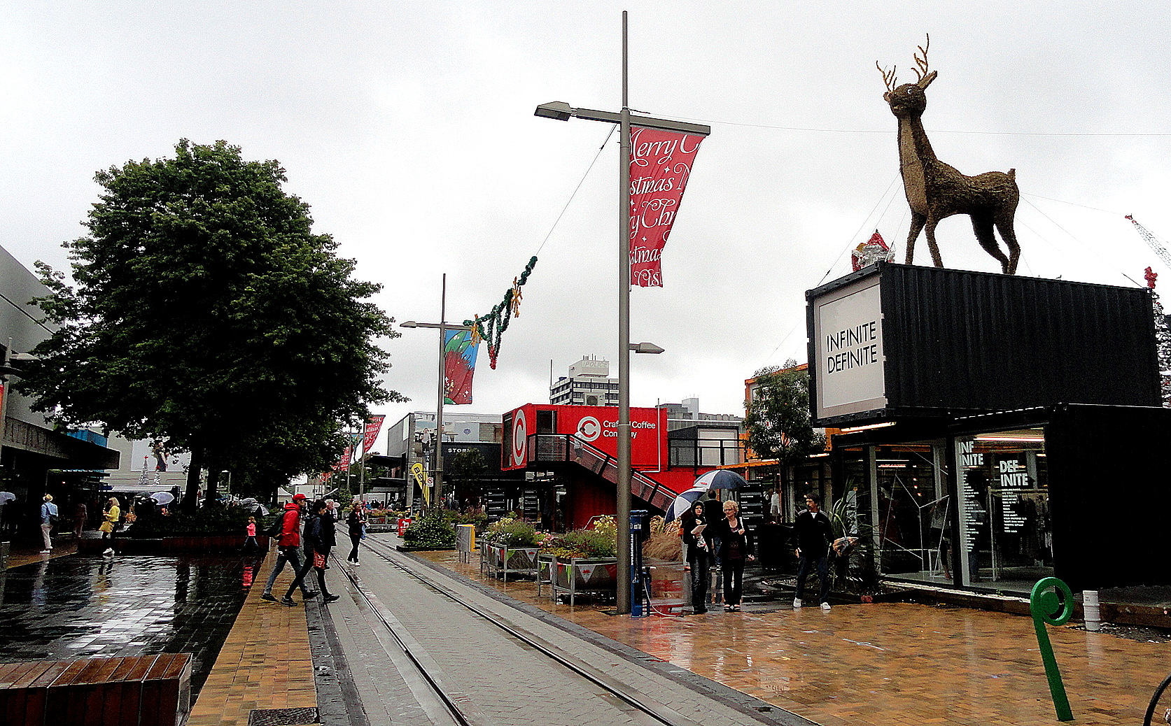
Above: the Re: START mall, on one of the most destroyed blocks of commercial central Christchurch they’ve established shops and cafes in containers. Immediately below: three photos all taken from the same spot, just turning my head to look in a different direction (well, the one with the monument I had to reach the camera up to shoot over a fence…)By the Avon 1 By the Avon 2 By the Avon 3 Oxford Terrace
Theatre Royal & Containers

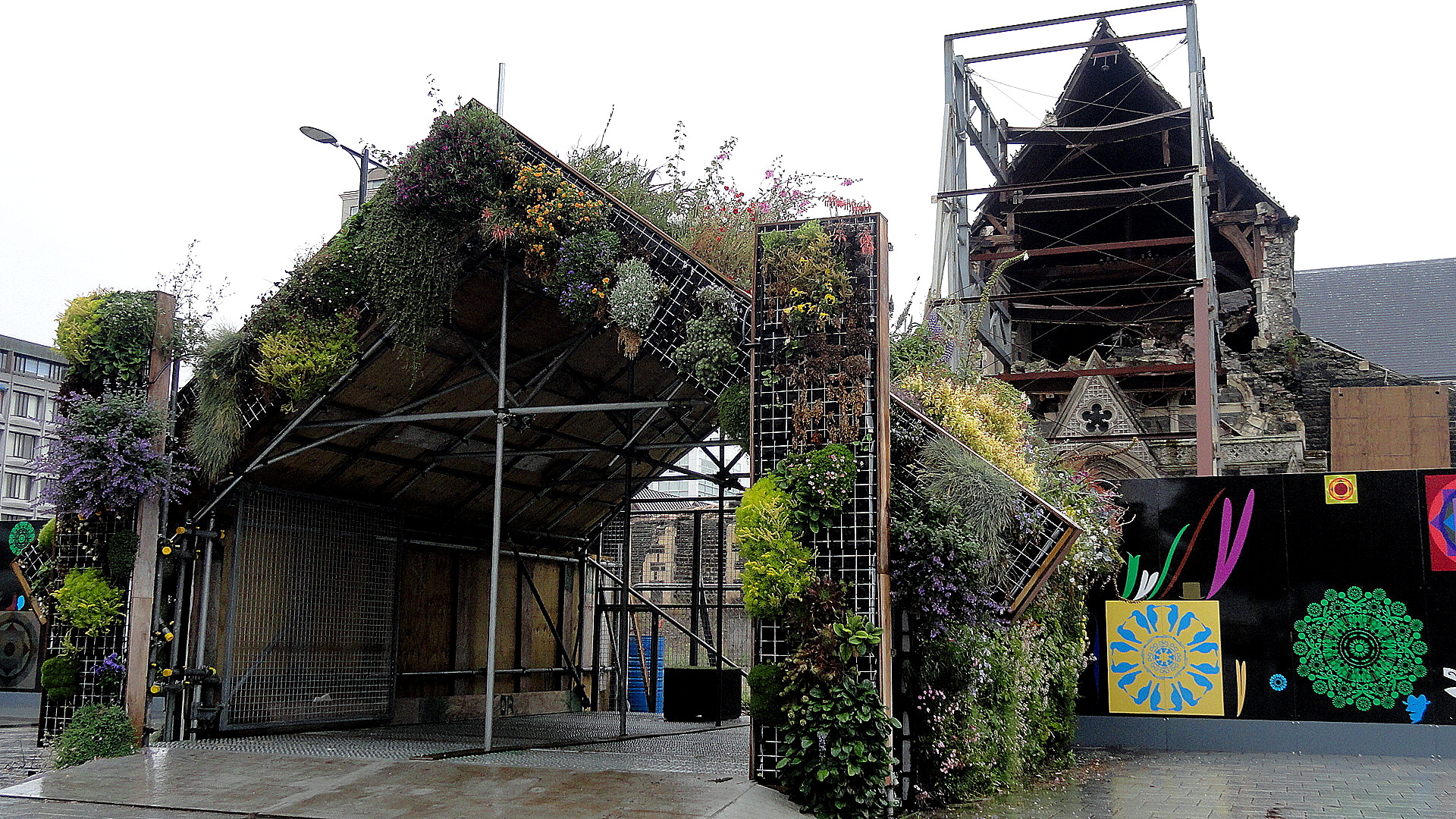
Chancery Way Cathedral & War Monument Cathedral & Viewing Shed Cardboard Cathedral 2
…the cathedrals old and new, above
Brickwork Street Art

Of Christmas Dinners & Misty Mountains

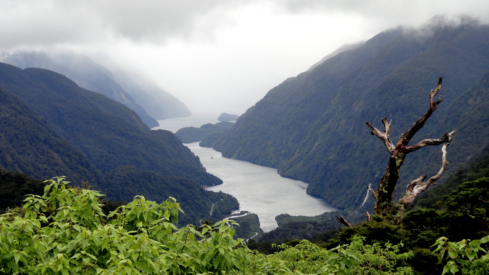
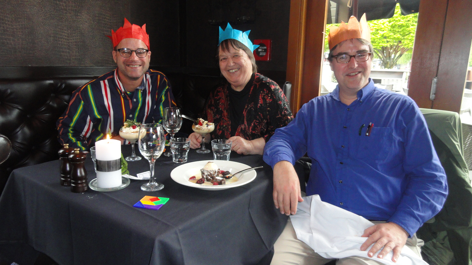
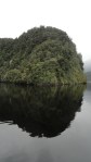
Top of Doubtful SoundMisty PanoramaChristmas Dinner

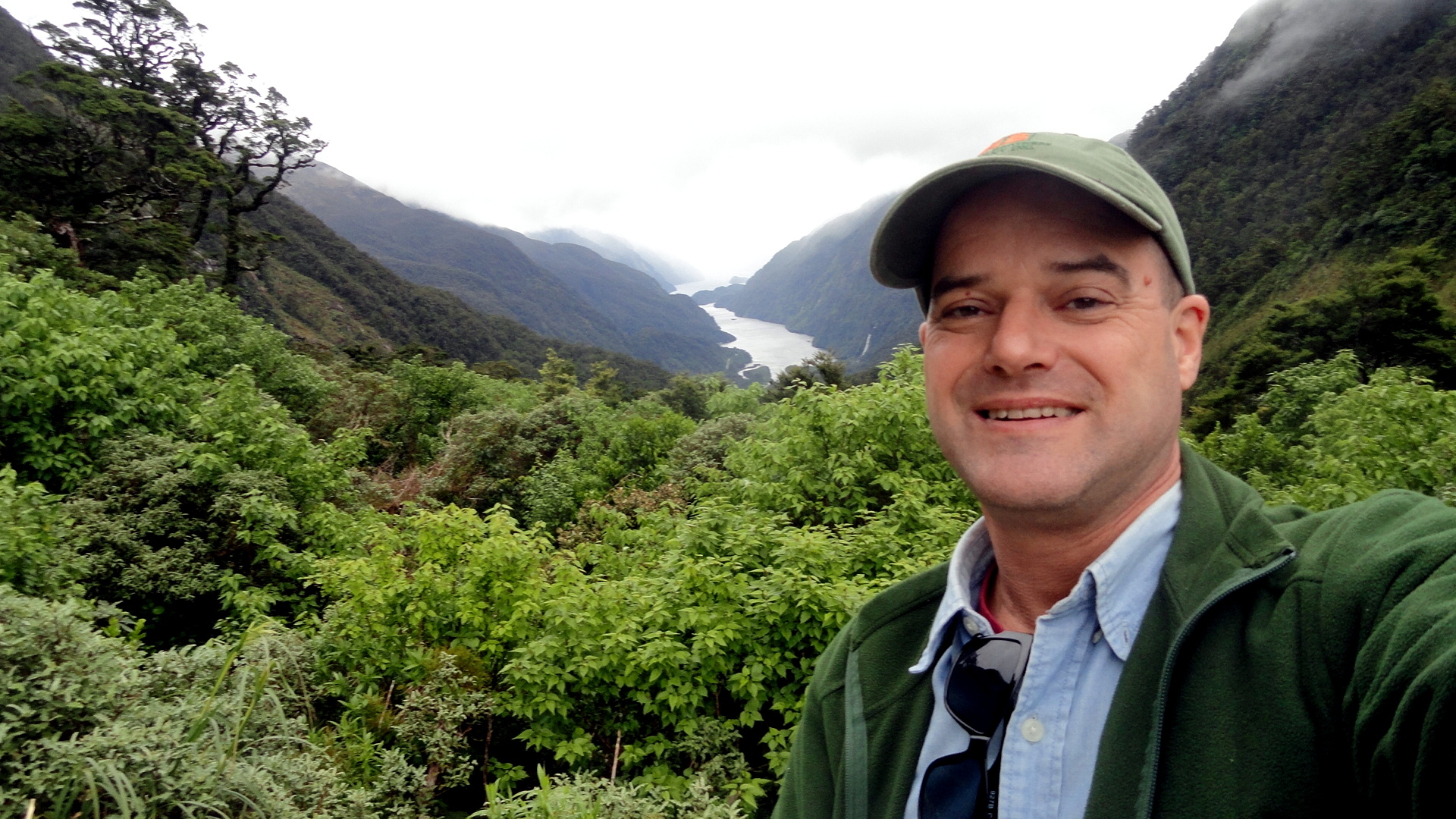
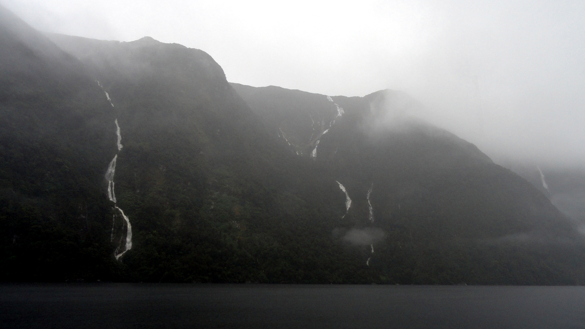
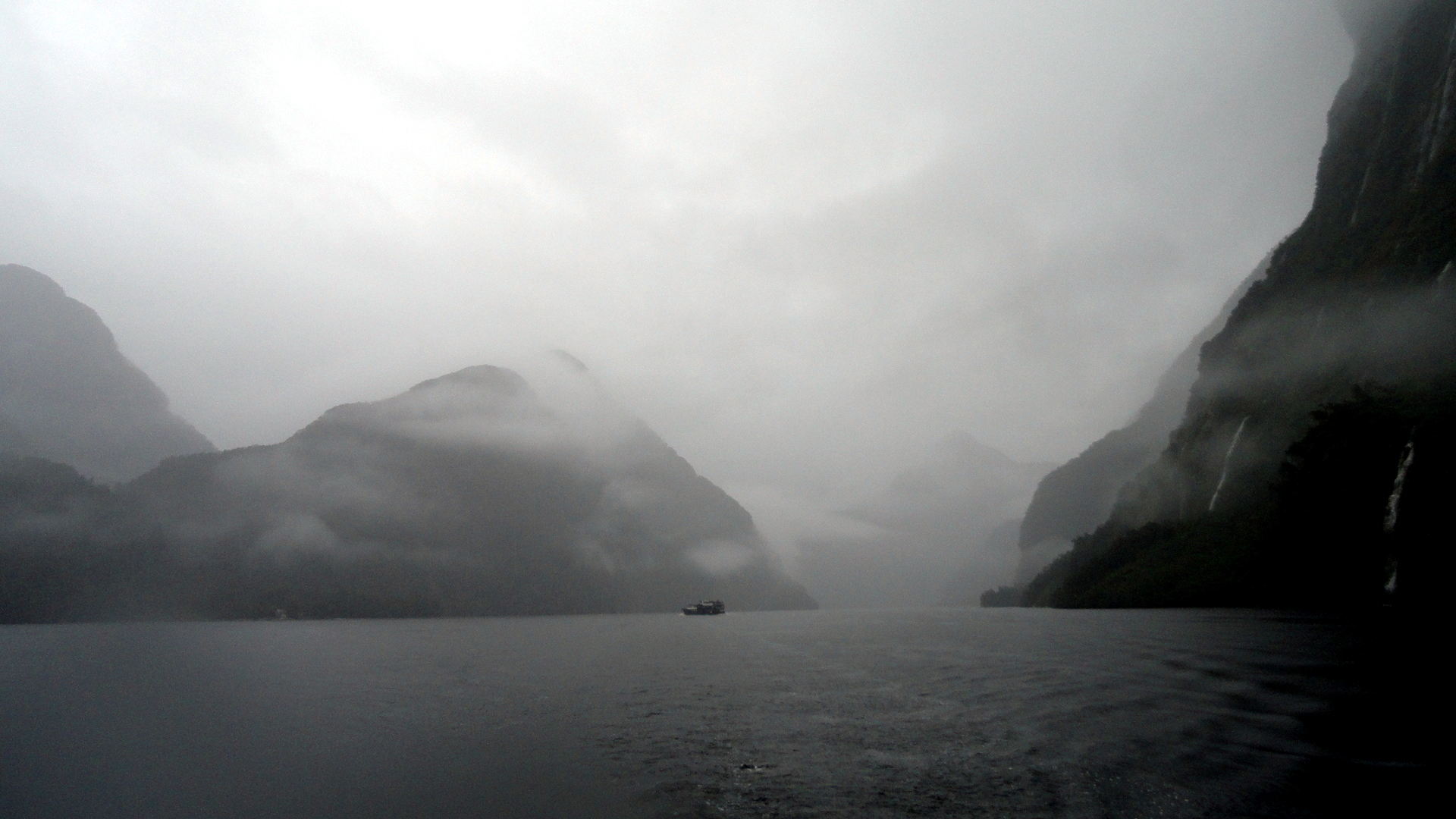
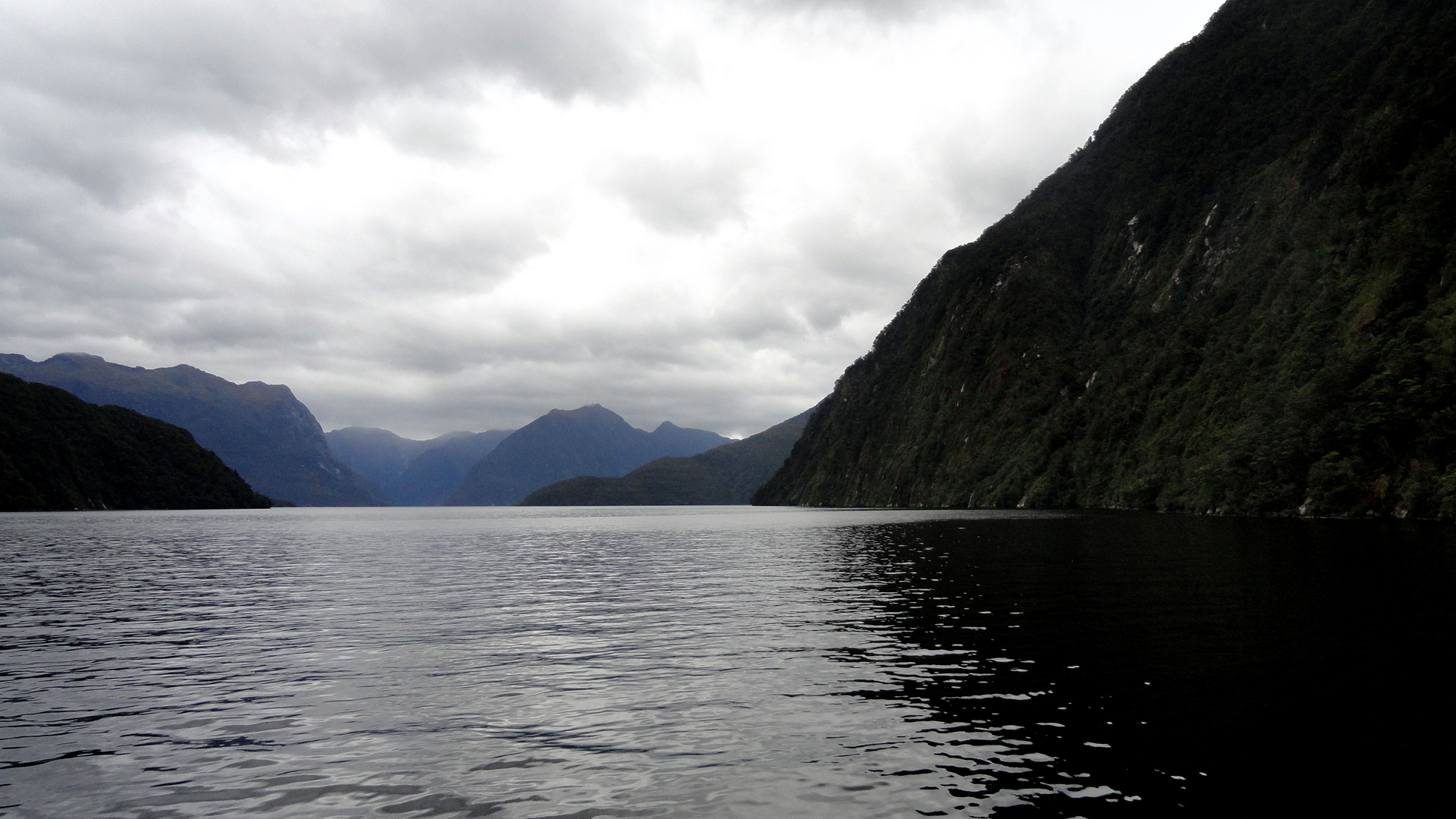
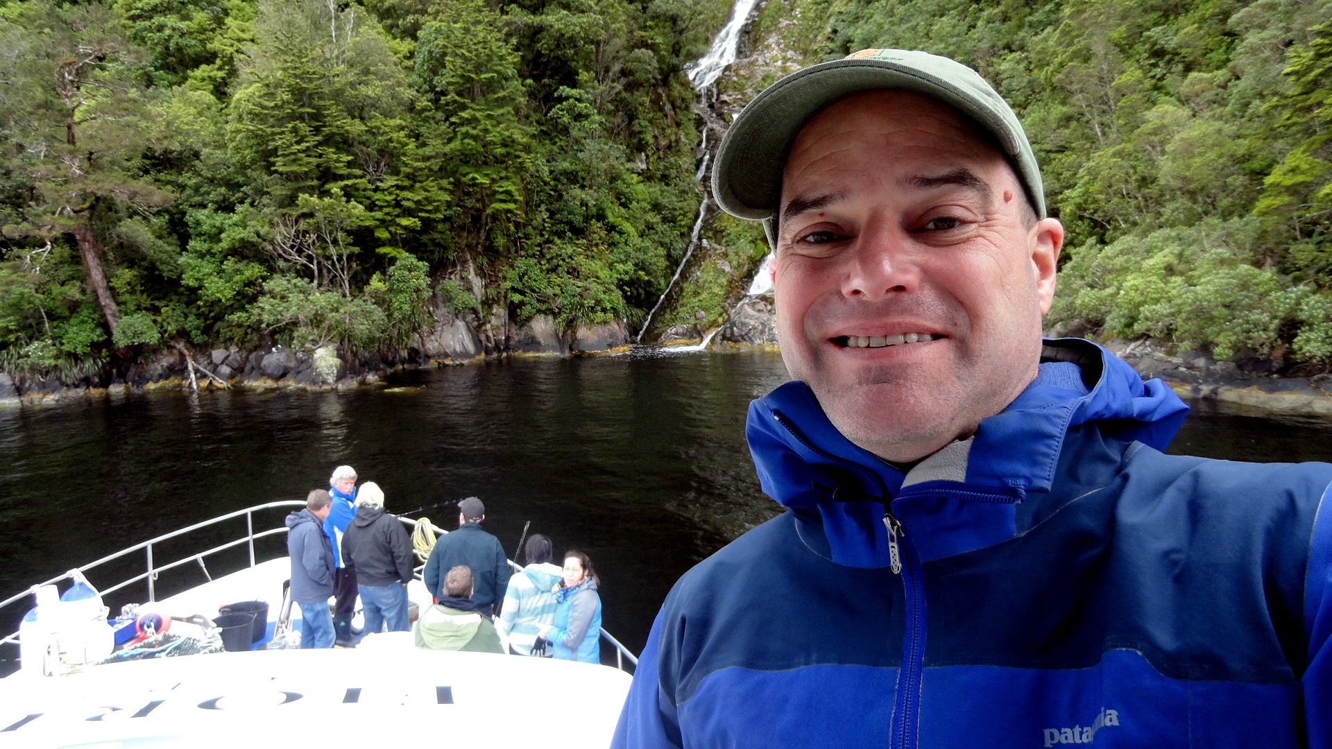
When last I myself visited the wild, entirely rug, very wet & green & remote & spectacular southwestern expanse of South Island that’s known as Fiordland National Park, I managed to squeeze in a day trip on Doubtful Sound. (Which is so named because, in the days of sailing ships, captains usually doubted they’d find the offshore wind which would allow them ever to escape from the narrow, deep sound.) This time around, knowing a multi-day hike such as we undertook last time was out of the question, I thought I could still get Mom and my brother out for an overnight – and so we spent the night of 23rd December snugged into a little anchorage in the midst of, probably, the most remote and wild place any of us had ever spent a night…and we’ve been a few places, so that’s saying a bit of something. Our little boat had eleven passengers and three wonderful crew, and despite omnipresent rain and mist, it was simply an extraordinary experience which left us all feeling quite privileged.

Thence we drove on up to Queenstown, on Christmas Eve, where we had the lovely dinner whose dessert course you see having its five minutes of fame above. I’m popping these photos up on the blog at the start of New Year’s Eve, here, knowing that tomorrow we all fly back to our current home countries – me to PNG, they back to North America – and that the first weeks of 2014 will be full and hectic for me. Happy new year & lots of love to all my readers, known and unknown.

And for anyone interested in other, often sunnier, photos of the Fiordland region, check out these entries:

https://somuchworldsolittletime.wordpress.com/2009/03/05/kepler-track-fiordland-national-park/

or

https://somuchworldsolittletime.wordpress.com/2009/03/05/definitely-doubtful-sound/ in which you can see how Doubtful looks when the sun’s shining a bit, and another shot remarkably like the top photo here…and with blue sky. Ah well, don’t tell my family. Cheers.

NZ Marine Flag on Doubtful Seagull & Hills Paul at Doubtful Mom & Steve at Doubtful
Misty Hillside Awah Misty Distances

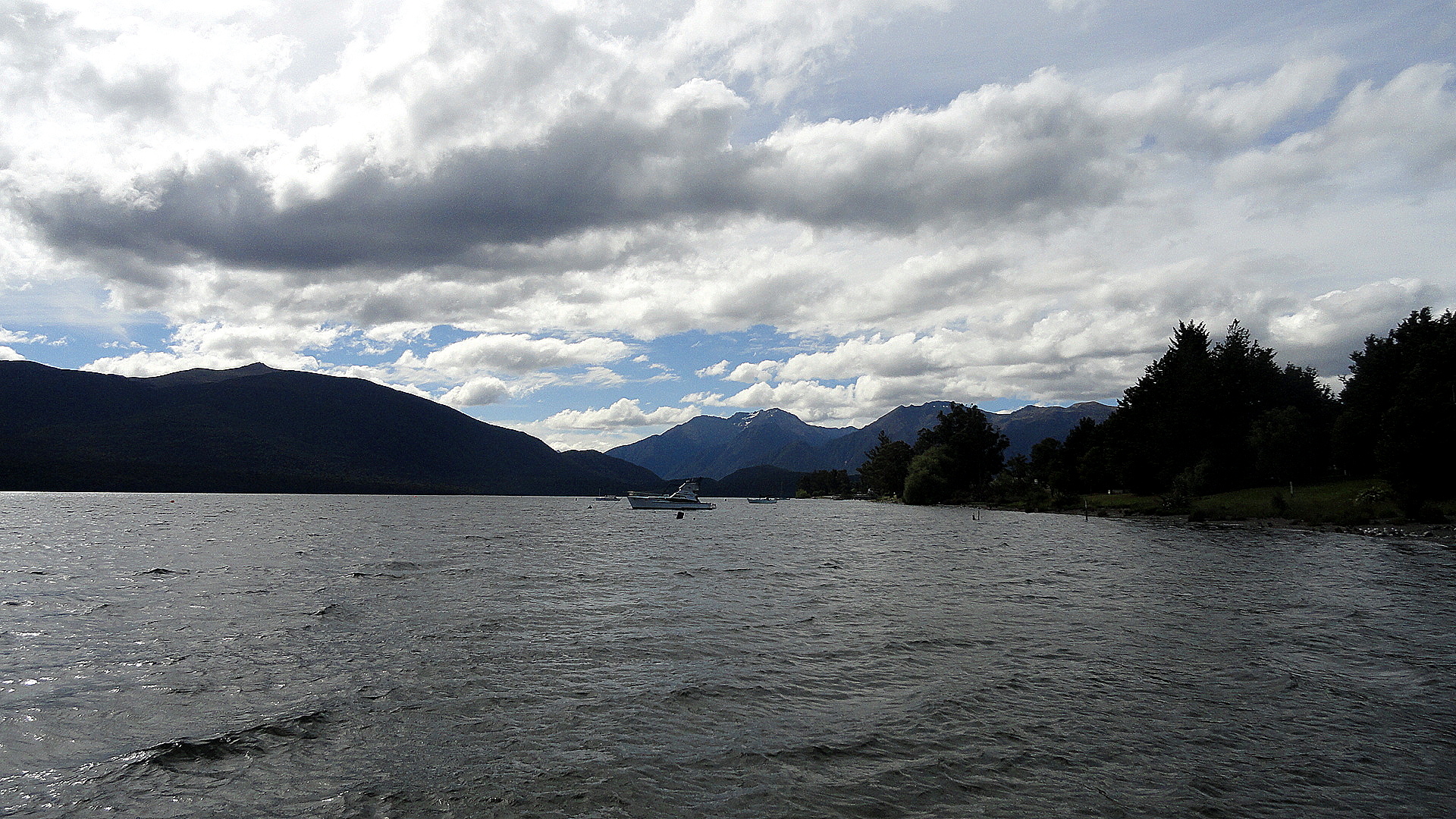
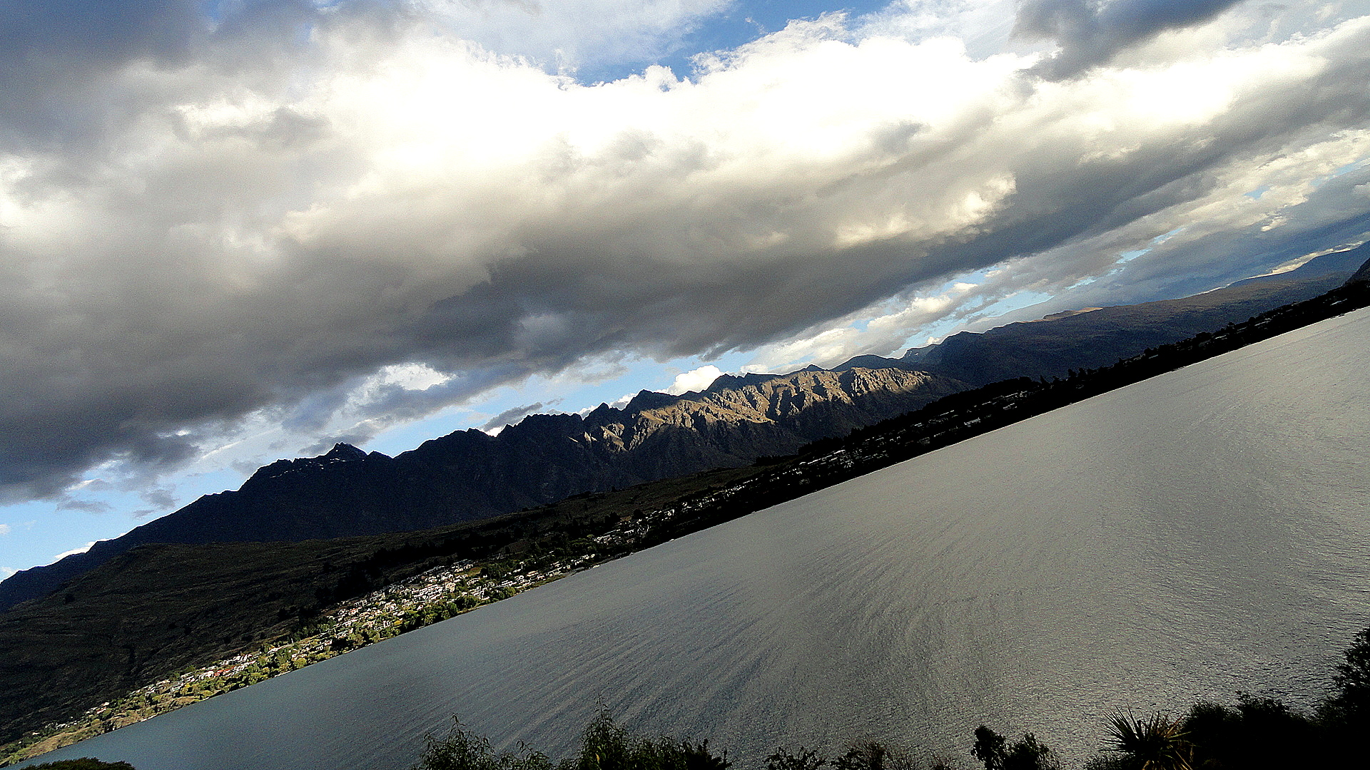
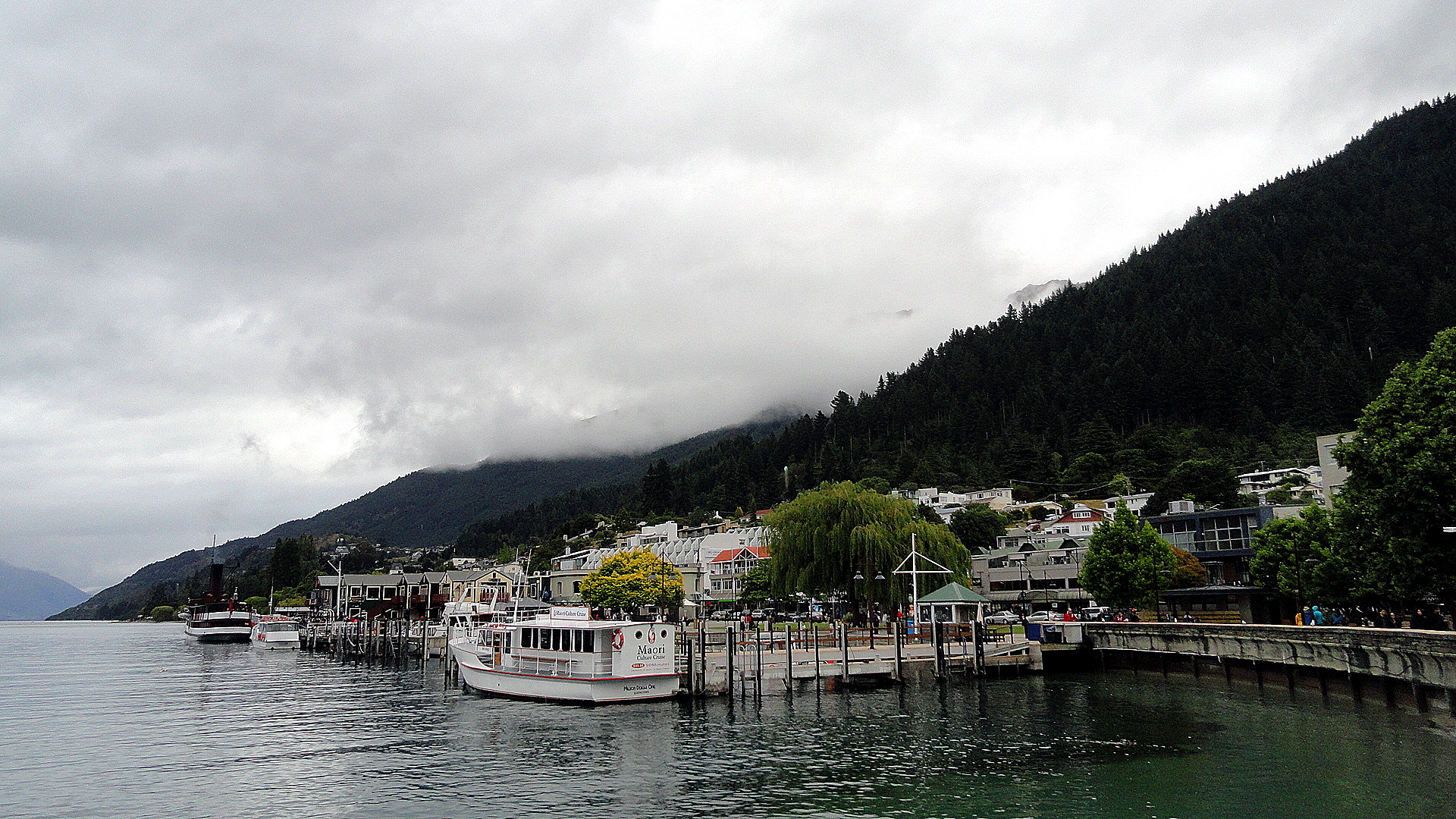
Since I figure many of you will only be interested in a few of the atmospheric, misty-foggy-rainy waterfall shots, I’ve plugged several of them into a gallery, below, where you can either skip over the thumbnails or click to see the full-sized shot if you’d like. Below the gallery are a few more full-sized foggy-misty shots for the atmosphere and then a shot of Lake Te Anau from the southern shore, and then a few from Queenstown and the shores of Lake Wakatipu.
Vertical FlowStill Waters & Foggy HillsPaul & Waterfall
Lake Te Anau
Foggy Hills & Arms Francton Arm - Lake WakatipuDSC03562

Many Penguins Nesting & Other Dunedin Scenes

Dunners Octagon

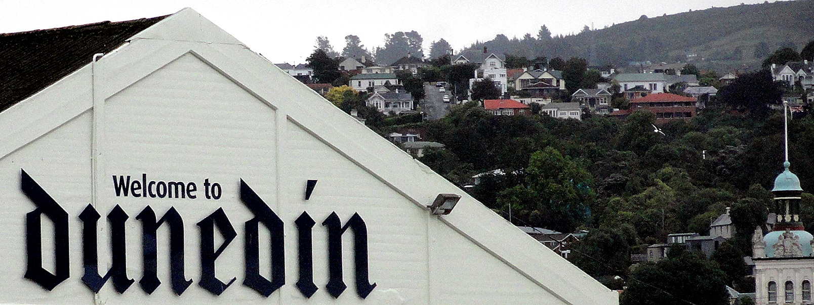
Welcome to Dunners

Penguin Preening
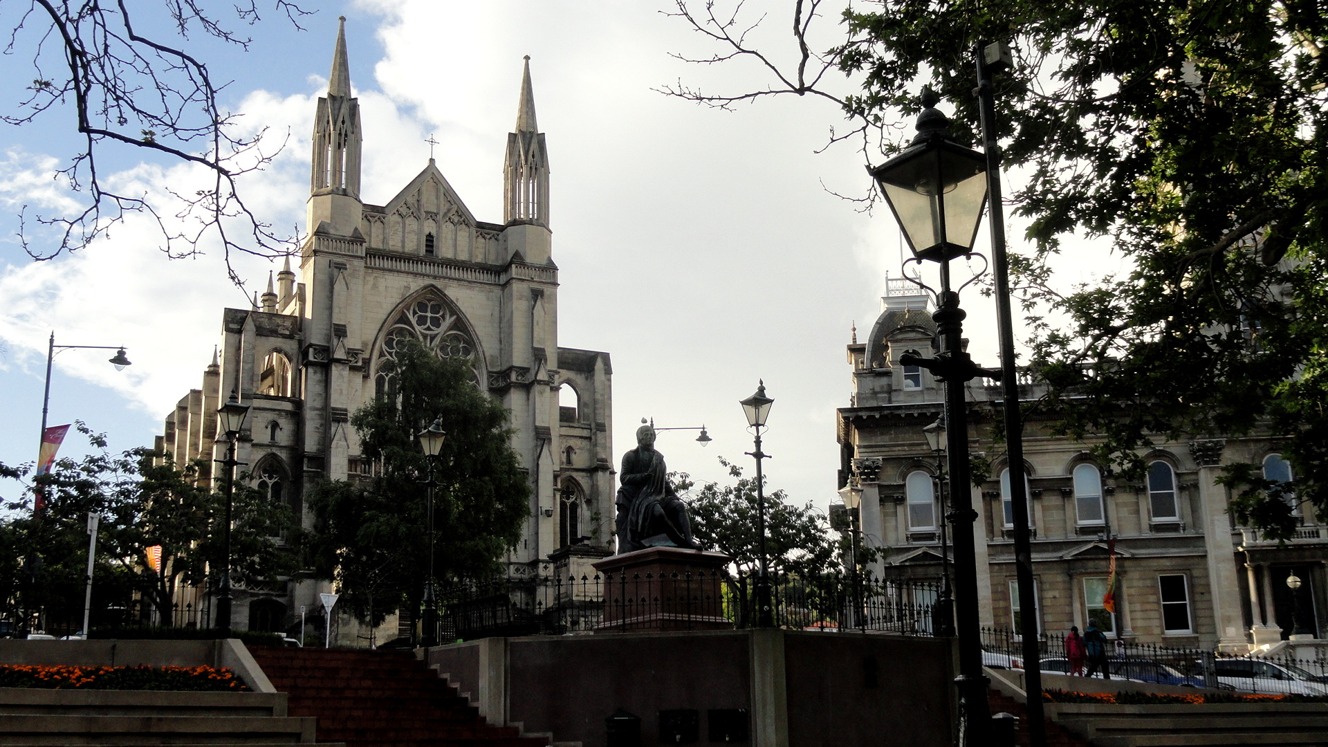
Looking at the opening shot from Dunedin’s lovely town center, called The Octagon for clear reasons, I am reminded how lovely blue skies can be. As you will see in subsequent posts from Doubtful Sound and here in Christchurch where we’ve been now for two days, this semi-clear day in Dunedin earlier this week was, roughly, the last bit of blue sky and sunshine we’ve had. Ah, for the sunny blue skies of our Cook Strait crossing!
That said, the Northern Royal Albatross, perhaps the most iconic fauna of Dunedin’s gorgeous if wet Otago Peninsula, only flies when it’s windy and seems to prefer the wet to the dry. Thus we were able to really enjoy seeing quite a few of the adolescents on the wing during out time around Taiaroa Head at the tip of said peninsula. Below is one shot of such a bird in flight, but no still image, not even something on film, could really capture the remarkable grace and perfection – for their evolved purpose of circumnavigating Antarctica in the roaring 40’s 80% of their time – of these creatures of the air. Their wings are multiply hinged, so that they unfold in sequence to reach a much greater length than you might think, if you saw one nesting on the ground as we did from the hilltop perch whence we first viewed them.

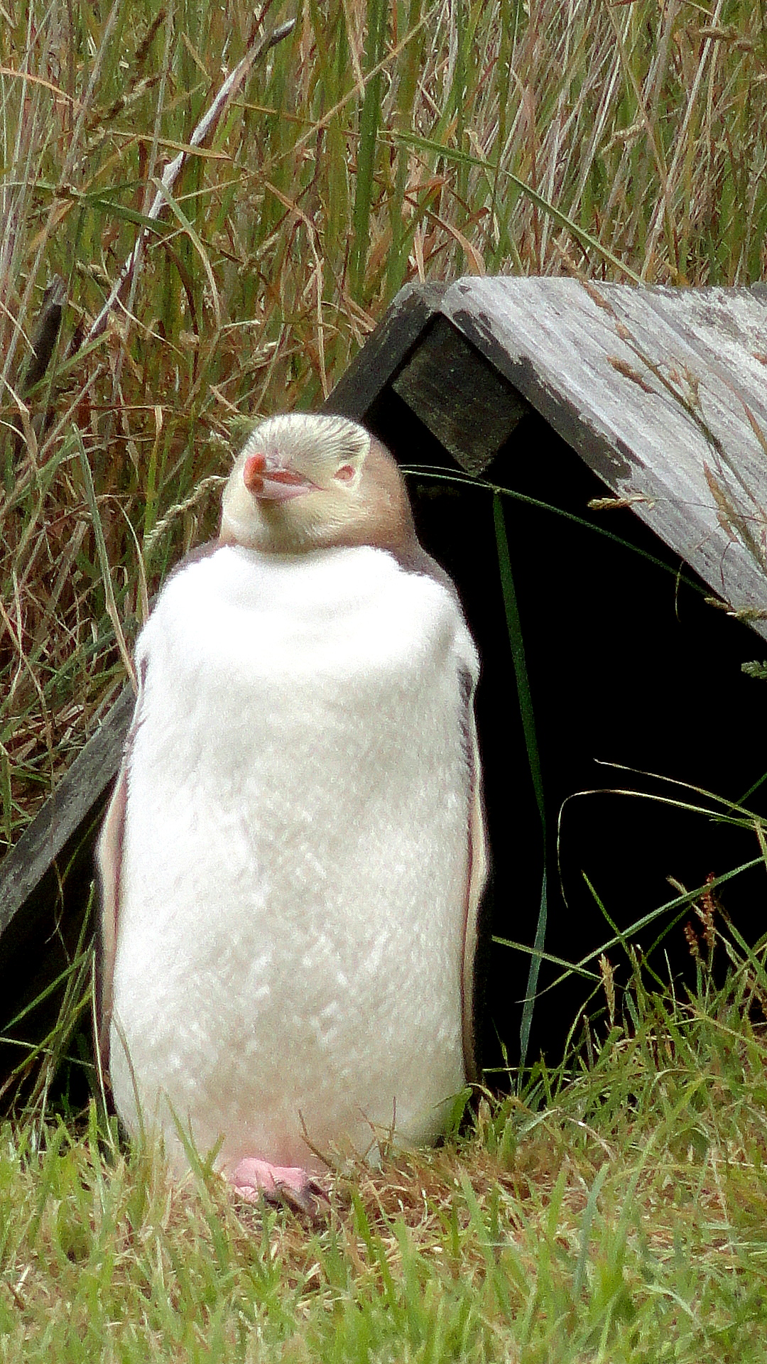
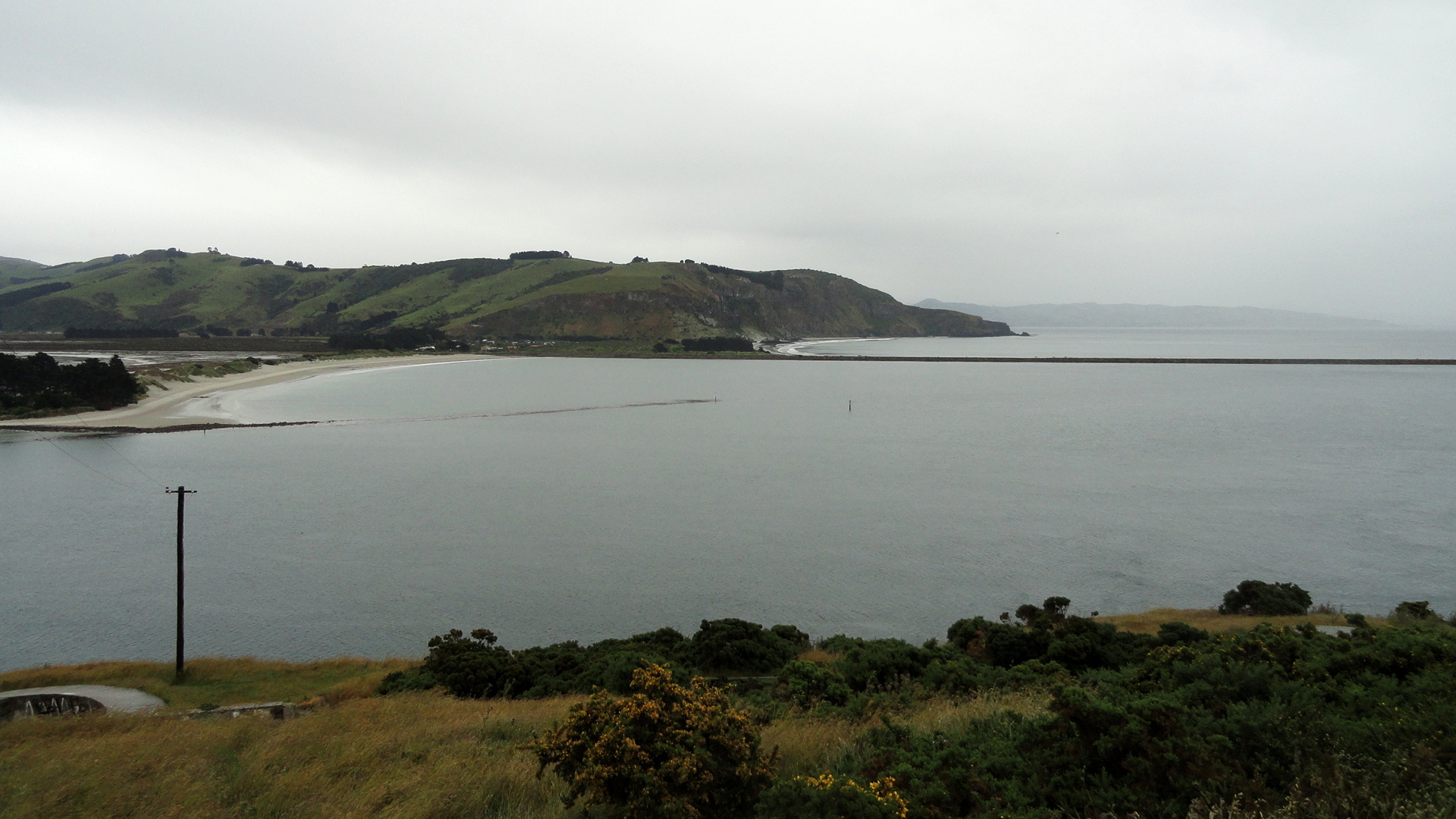
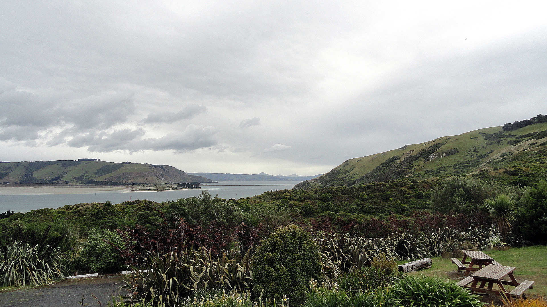
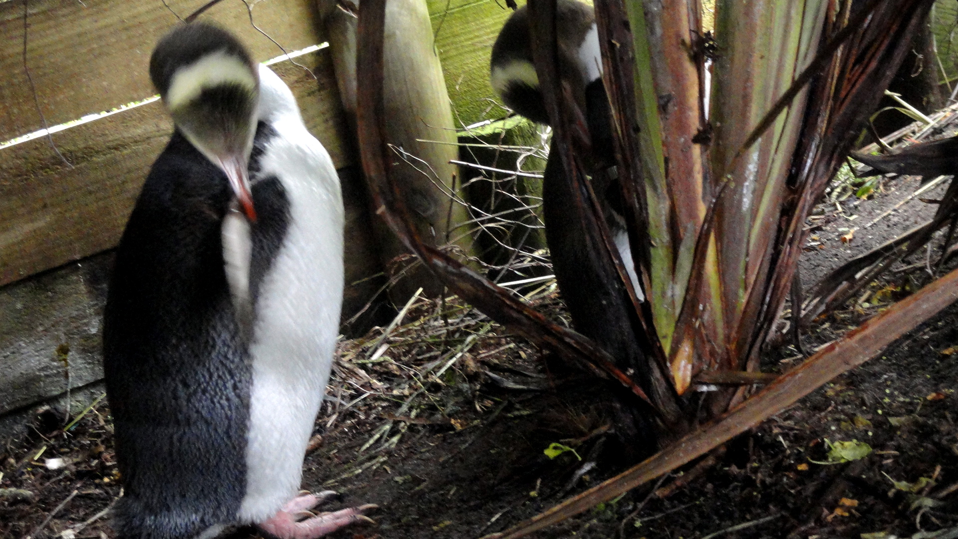
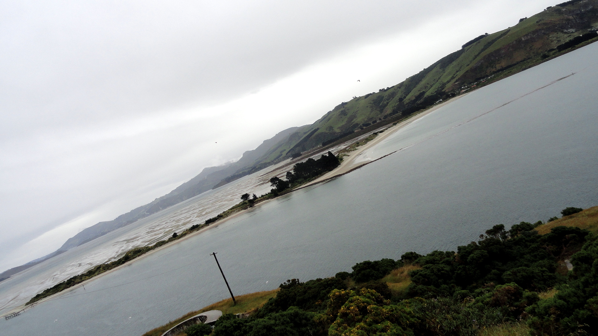
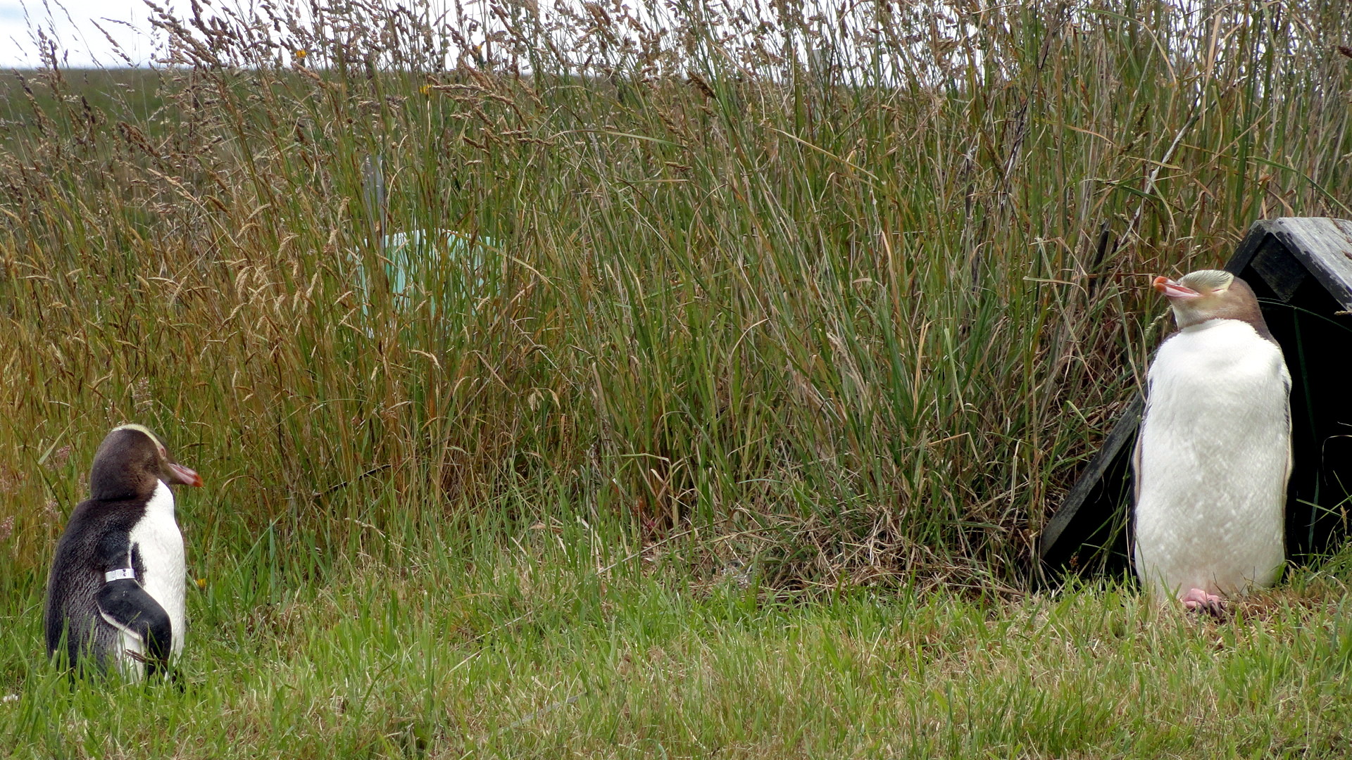
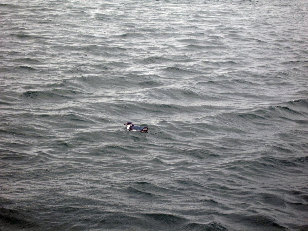
On the same remarkable day we saw all the yellow-eyed penguins, some of them up rather close and personal. They’re (one of?) the most endangered penguin species in the world. And, a correction to those whose imaginations have been over-stimulated by Happy Feet etc., most of the 18 extant penguin species are NOT ice-dwellers, but nest on beaches and, yes as seen here, in coastal-adjacent grasslands. What makes the yellow-eyed ones so rare? They’re the only anti-social penguin species. They won’t nest in sight of other penguins! So when Euros showed up here and started cutting down the coastal trees and scrub, these guys’ nesting habitat was greatly reduced. They also won’t nest if they see humans around – they’re very habit-driven creatures and do not like the size of humans. So on this working sheep farm, the owner a few decades ago decided to start tunneling down under camouflage nets that he’d erected to hide himself. These underground paths lead to what are now basically viewing blinds scattered over the acres of headland where the yellows come back now every year to nest and lay their one egg and hope it hatches and rears well. If you look closely in in the shot that should be more or less at the end of this block of text, you’ll see gray ball of fluff which is a several-week-old chick, the only one who’s hatched on this patch this year of about a dozen or so nesting pairs. Yellows are something like the third-tallest species of penguin. We also saw some little blues, aka fairy penguins (yay!), in the water, but they’re too small to capture well. (If you’re curious, there’s this from my last visit in Dunedin: https://somuchworldsolittletime.com/wp-content/uploads/2009/03/littlebluepenguin.jpg) — these guys are more numerous but they’re truly a bite-sized morsel for many an airborne or seaborne predator, so they try to camouflage well from both below and above and thus are hard to capture well on film. Because we so rarely get to see truly wild and natural penguins in their own habitat, I went a bit shutter-crazy, but to spare those of you without so much interest, I’ve tucked most of the penguin shots into a small thumbnail gallery below; the penguin-lovers among you can click on the individual shots to see them in fuller size; there’s another shot of the chick w/parent in there as well.

Anyhoo: I hope you enjoy these wildlife shots. Despite its Scottish weather, I find Dunedin – this time as last – a surprisingly appealing and magnetic town that I can somehow imagine living in. Who knows, maybe some day. Especially if I meet the right reason, as it were… Cheers and happy new year, one and all.

Penguin & Chick 2Dunedin Mole & harbor EntranceYellow-Eyed Penguins Up Close 3

Albatross in  Flight…a northern royal albatross in flight, above; and a fur seal at rest below. There were tons of fur seals and even a few adorable, squeaky little pups hidden in the rocks and among their protective elders, but I didn’t get many good shots of the seals, either here or later in Fiordland where we again saw quite a few in the water and hauled out on land. They’re show-offs in the water, when a boat goes by, I can tell you that for sure. 🙂Fur Seal LoungingRed-Billed Gull

Dunedin Hrbor Hills


Yellow-Eyed Penguins Up Close 4
Dunedin Outer Harbor Entrance Mom t Royal Albatross Ctr Nesting Penguins 3Dunners Train Station from OctagonIn the shot above, you’re looking down from the Octagon toward the train station in Dunedin, a grand building erected during Dunedin’s reign as wealthiest town in NZ (late 1800s or so, due to gold finds around inner Otago region) which they claim is now the most-photographed building in NZ. Having not photographed it last visit, I figured I’d do so in my usual off-angle way this time around :p)


Otago Peninsula Yellow Penguin Beach

Ferrying Across the Cook Strait


WLG Harbor

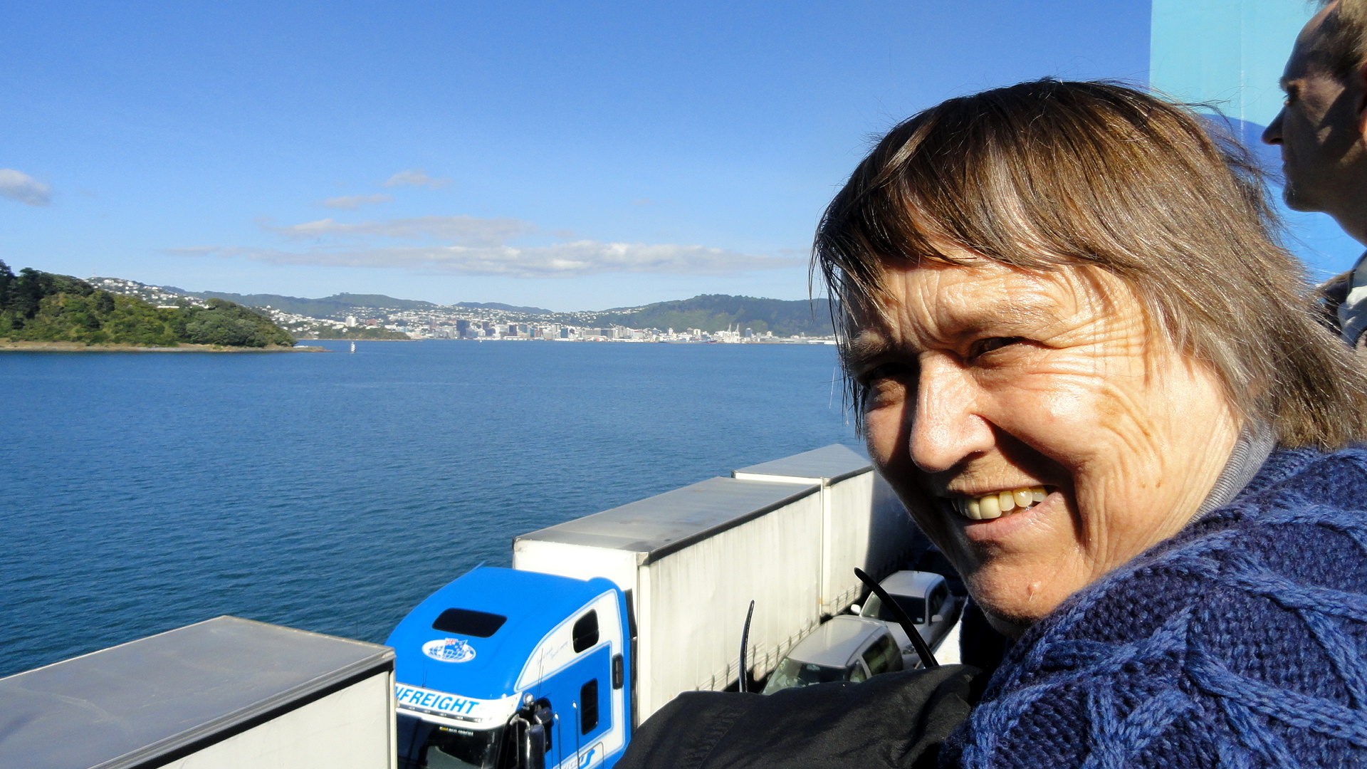
smw, slt is spending the end-of-year holidays (solstichristmakwanzakkah, you know) in the company of my mother and one of my brothers, along the shores of lovely lake Wakatipu here in Queenstown, south-central South Island in the lovely nation of New Zealand. NZ rocks: I first visited here four years ago and l o v e d it; I’d move here in a flash if I met the right reason and/or if nearly everyone else I know in the world didn’t live at least a 12-hour flight away.  NZ is very nearly the same size as Colorado in land mass — one key difference, of course, being that NZ is composed of a handful of big islands and hundreds of littler ones floating in the South Pacific, where poor Colorado remains firmly landlocked until global warming truly does its worst to us all — and has roughly 20% fewer inhabitants than Colorado. It has mountains as high, but unlike CO it also has fiordlands and tons of interesting glacial lakes, volcanic cones, a sub-tropical north, world-class wine regions, two species of indigenous penguin and the only mainland-based colony of ablbatross in the world (mainland meaning a large island with a big human population), and a LOT of fur seals. All of this adds up to many choices of wonderful places to visit in a short two-week holiday, which is all we have time for now. We started out in Wellington, capital of the this kewl little country showcased above and below; thence we hopped the ferry across the Cook Strait to the northern end of South Island. It’s this journey which is documented in this first post from my end-of-year holiday.WLG Harbor Pano

I apologize that these NZ posts will, of necessity, be broken up over several entries. I’ve got tons of shots of penguins, a few of flying albatross; I’ve got photos of waterfalls and fiords still to be sorted and color-corrected, and I really do ditch more than 75% of the shots I start out with. So there’s much sorting to do before I come up with another post for everyone. With luck I can post those as a new-year card to everyone. At the moment, it’s Christmas morning here and it’s lovely to be with family again. The news break is just carrying the update on South Sudan, which had started to look worrying before I left PNG for holiday. Since I’ve many friends working there, and in Central African Republic where tens of thousands continue to be affected by insecurity and violence, I find myself as usual a bit conflicted this Christmas morning: grateful that I can sit in luxury and comfort, surrounded by family, by the lovely shores of Lake Wakatipu (say that, slowly, out loud, a few times to start your day: it’s great fun, and yes rather juvenile)…and at the same time rather heavy of heart at how the world is so sorely and sadly divided into zones of privilege and comfort whose inhabitants tend to be unaware and unappreciative of how very lucky they are, and too much of the rest of the world where families struggle to stay alive, secure, healthy and well fed. I wish for us all in this sadly fractured world, as always, a bit more peace, health, and security in the year to come. Hugs, one and all.Leaving Tory Channel

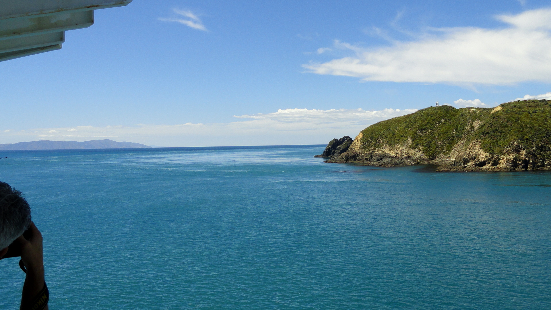
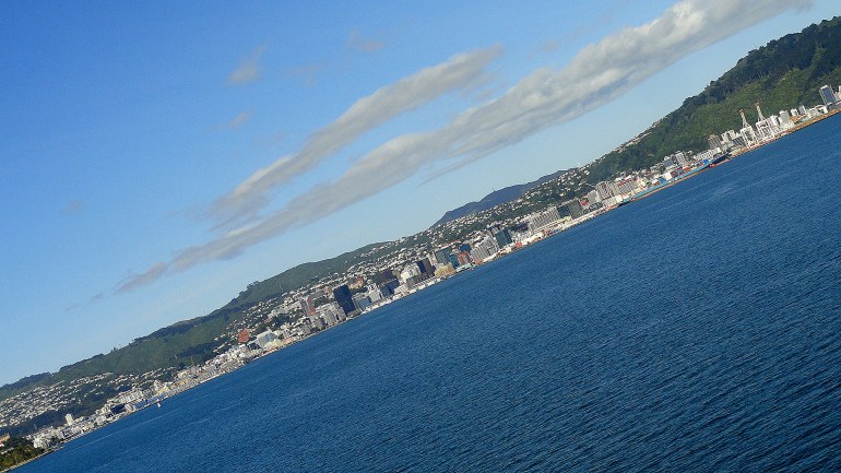
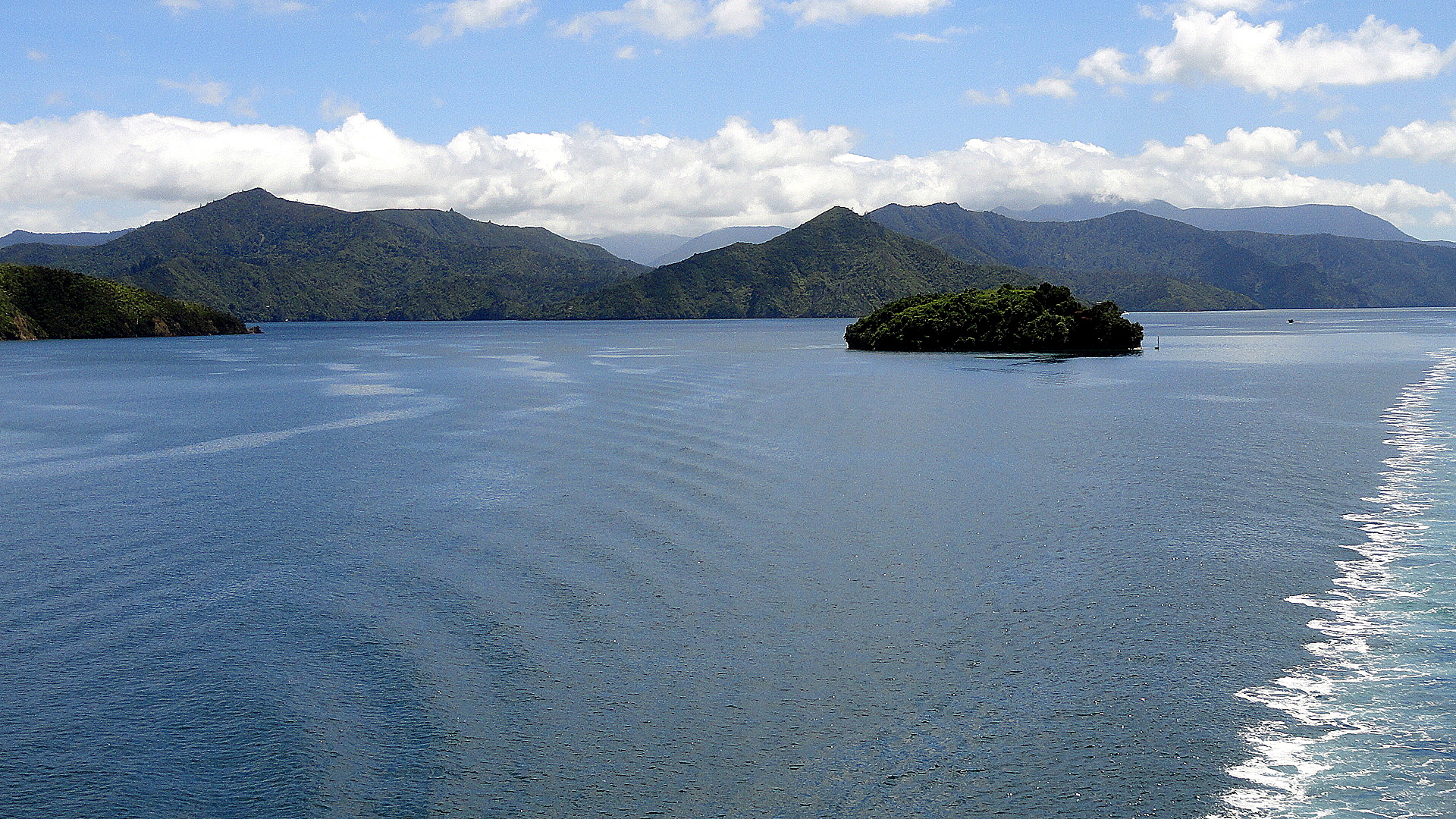
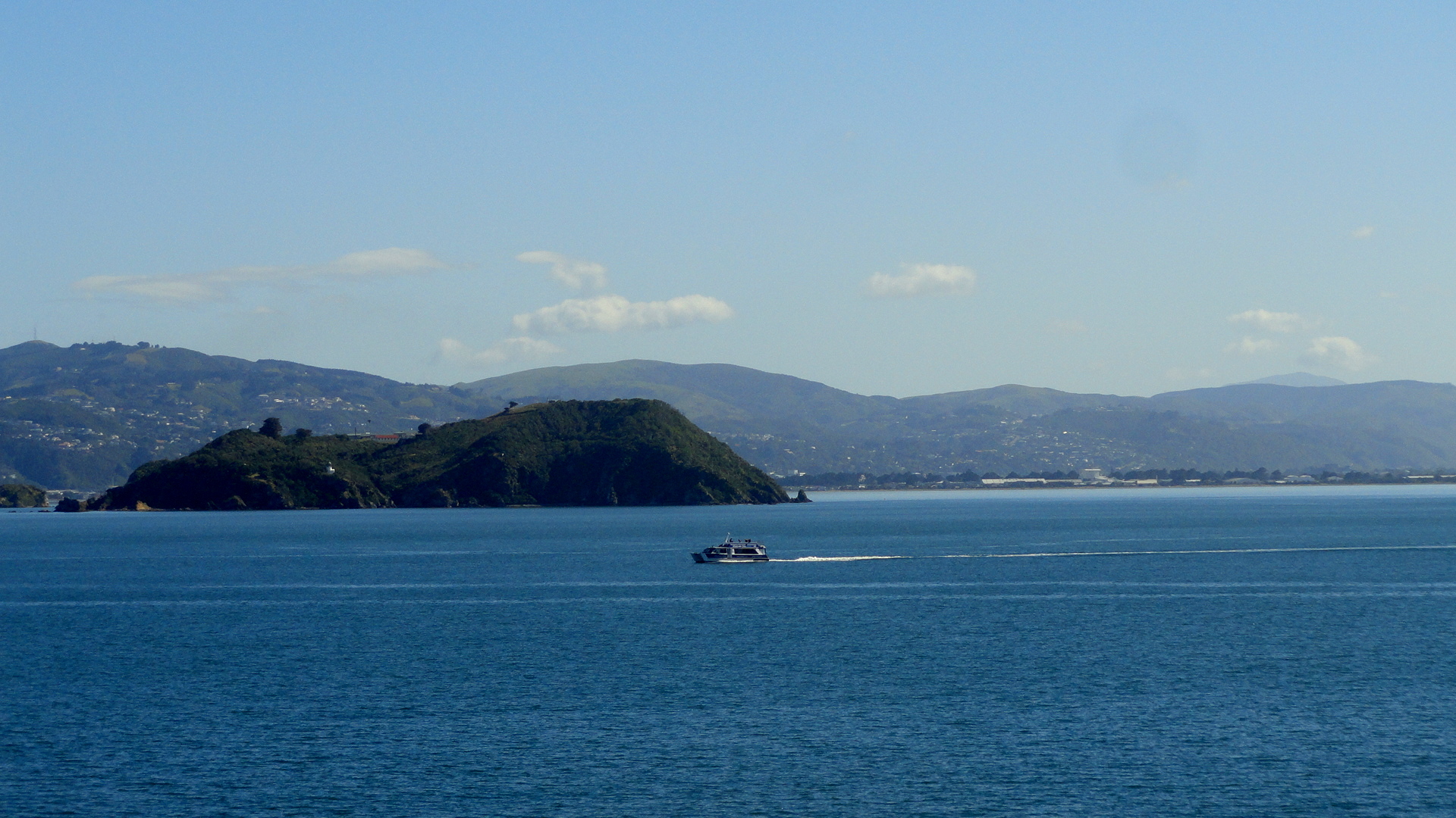
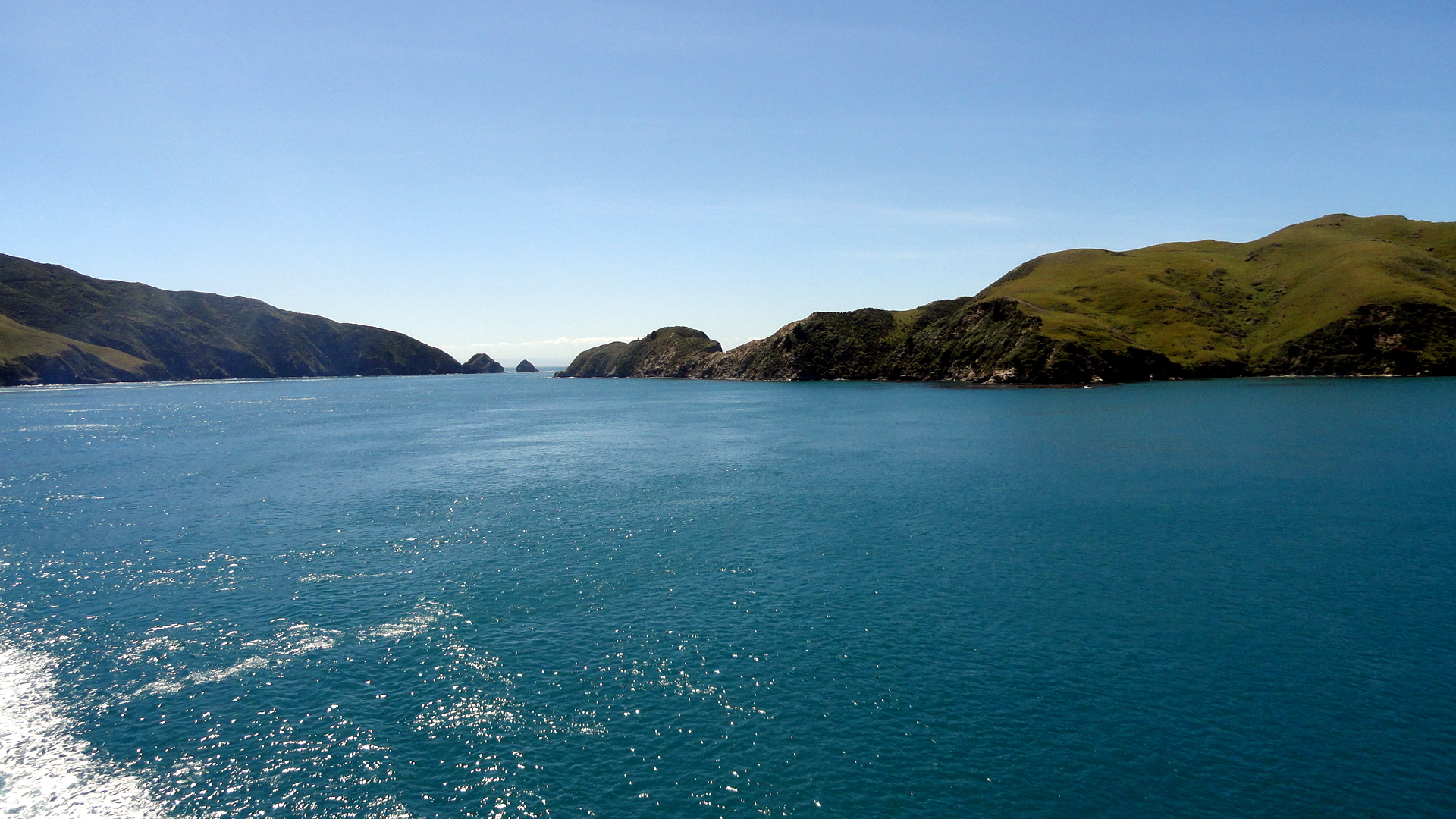
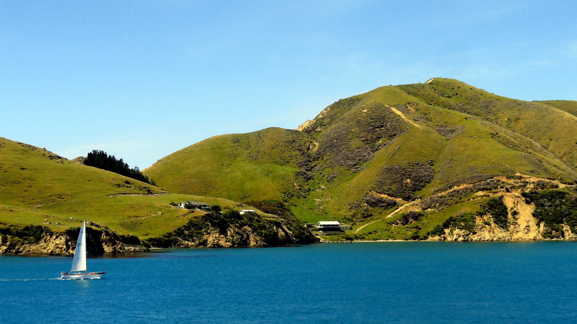
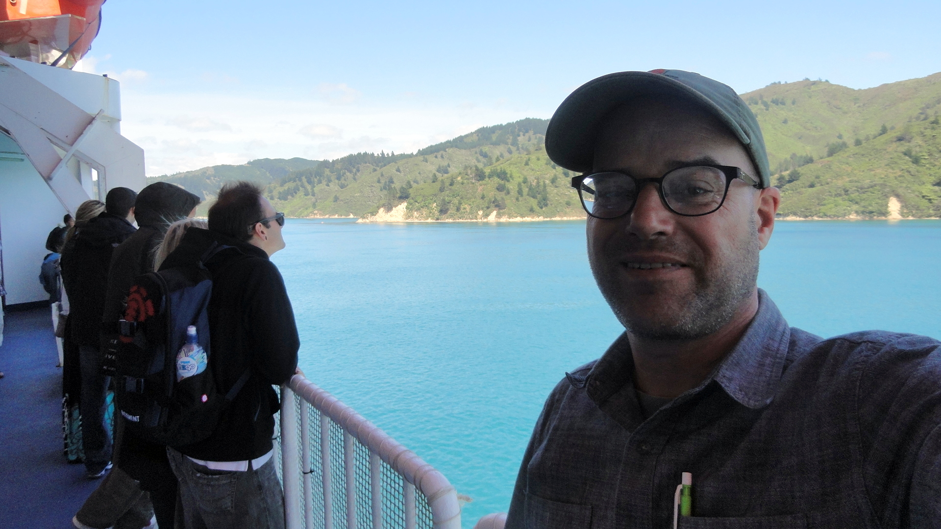
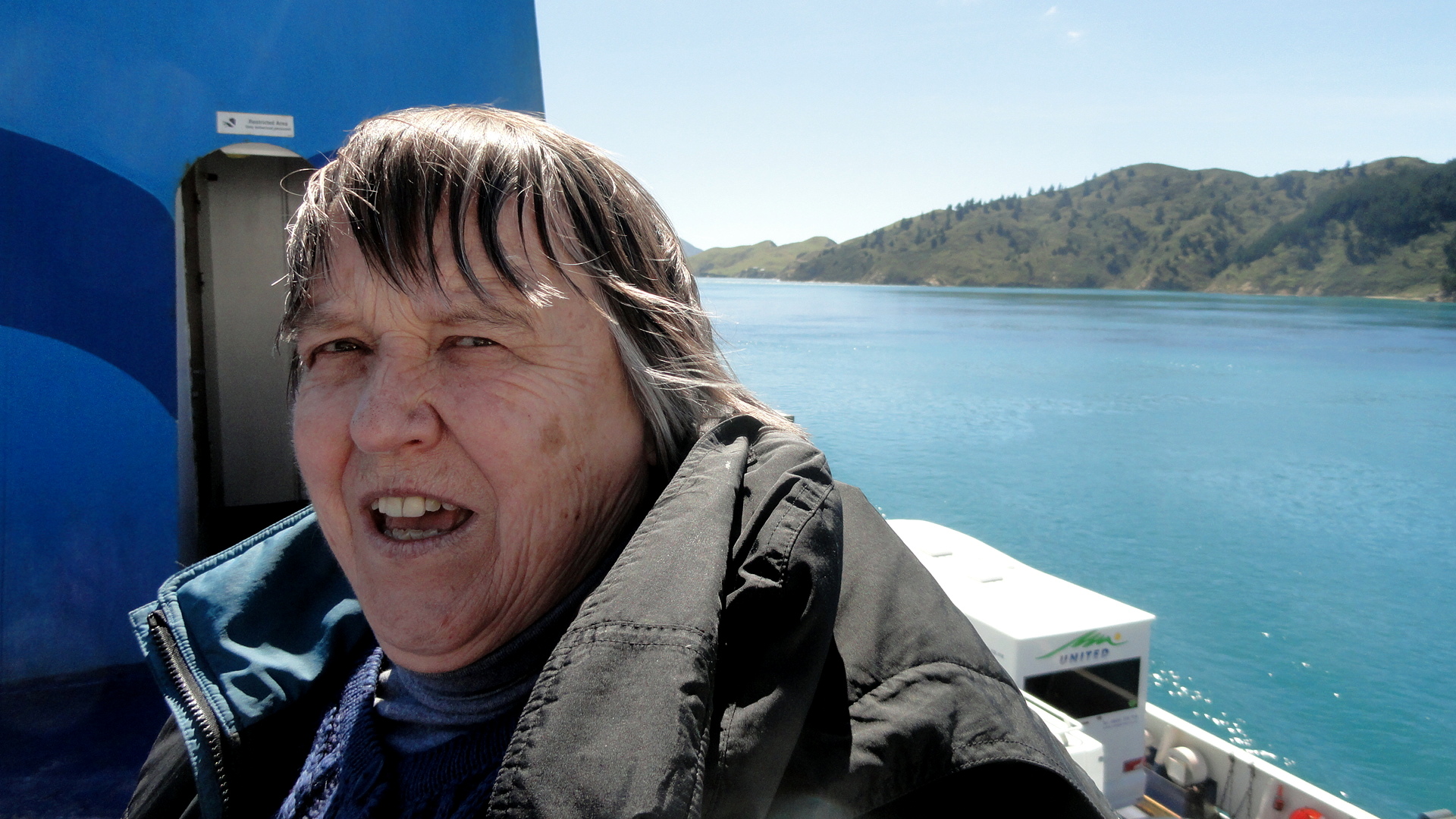
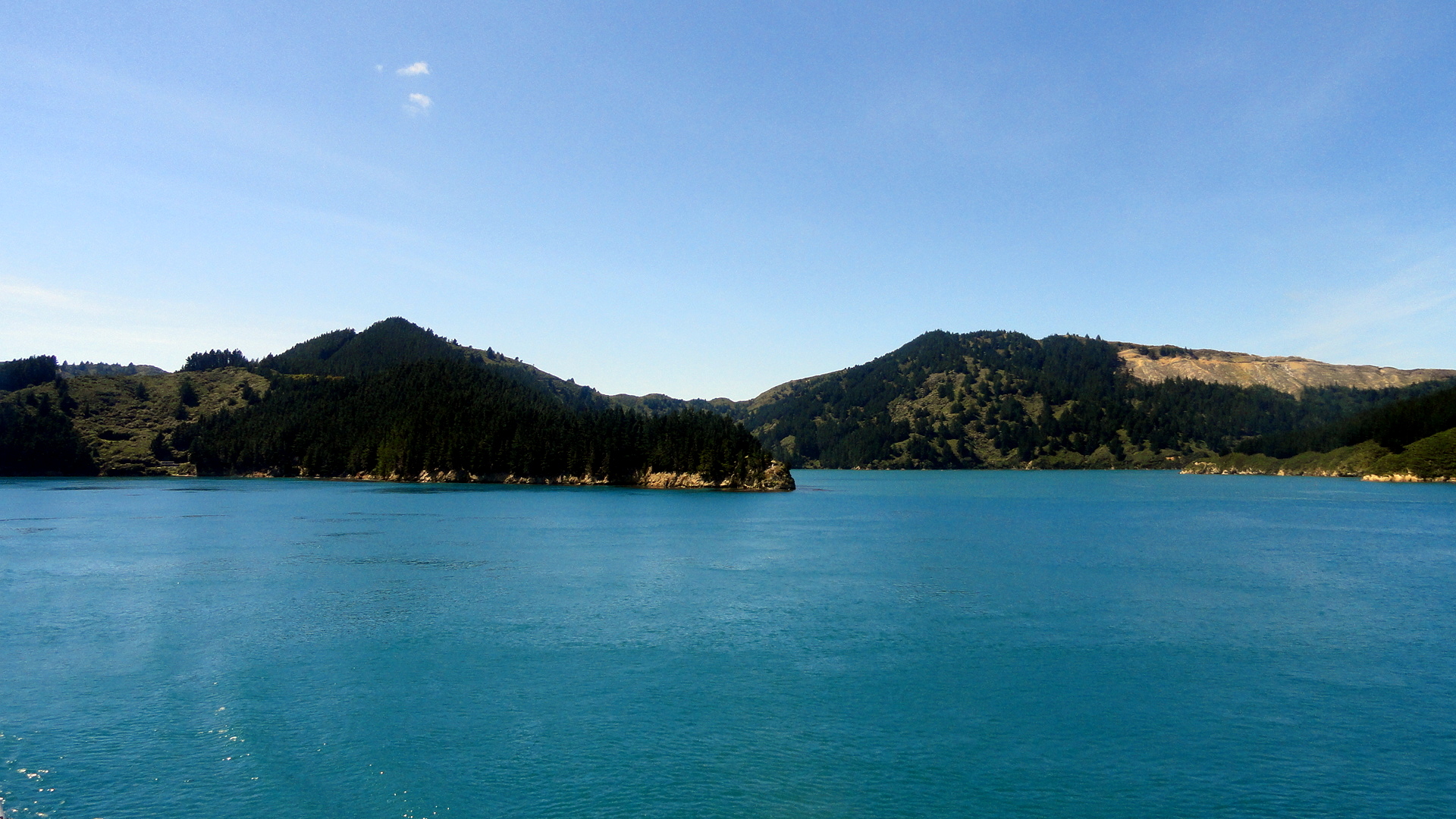
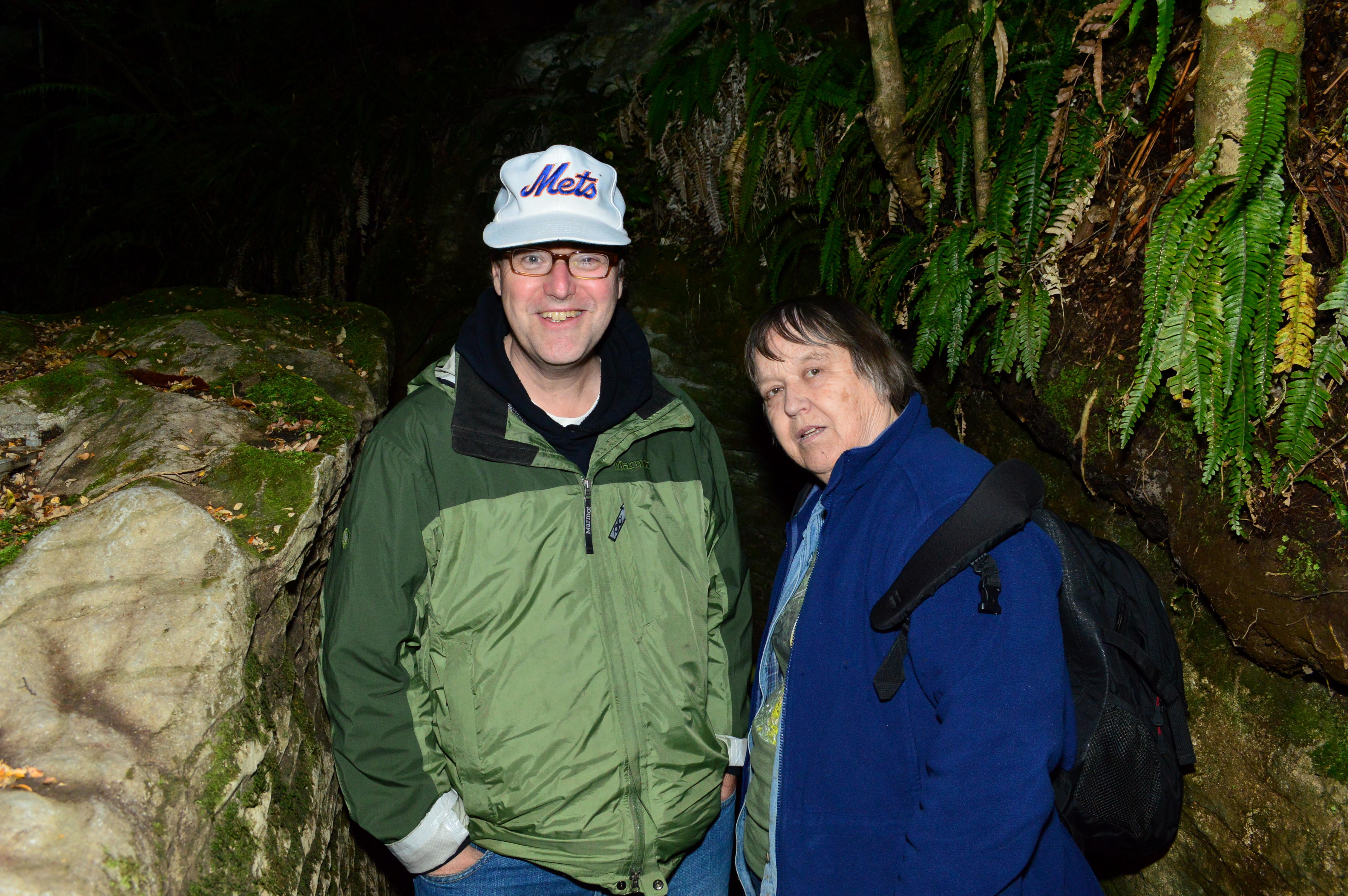
Mom on Ferry Heading out of WLGAbove are some of the shots exiting the complicated harbor at Wellington, whence one crosses the Cook Strait and tucks into Tory Channel, one of the many inundated valleys that form the Marlborough Sounds region on the northeastern coast of South Island. If it lays out as hoped, below you’ll see a shot where we’ve entered the Marlborough Sounds and left the rough choppy waters of Cook Strait behind; and a few shots of the drier, pastoral hillsides along the sound. Then at the end you’ll see a bit of an opening where the ship turns sharply right to enter the main channel of Queen Charlotte Sound, then sharply left again to enter Picton harbor; I took a shot looking back at the curve of our wake as we bid adieu to Tory Channel. And then, at the end, the shot Steve & Mom got suckered into buying when they did their Glow-Worm Cave Tour at Te Anau in the Fiordlands — having done that tour a few years ago, I didn’t repeat it but instead cooked them dinner. Ah, such a tour host am I… 🙂Cook Strait Tory Channel Sailboat Paul - Ferry in Tory  Channel Tory Channel Ferry Mom Ready for Closeup Landscape in Tory Channel Tory Channel Pano Tory Channel to Queen Charlotte SoundFerry Making the TurnSteve & Mom Glowworm Cave

Hela in the Highlands

DSC03328

smw, slt is now in New Zealand, but we decided before we start popping new shots of NZ (check back in: they’ll be up as soon as I can start posting them…), we should post the shots from our last sojourn up in the Highlands at Tari. With my end of assignment approaching closer and closer, I am trying to take note, to track, to record some of the people and places I see. Herewith just some shots from a few days out and about in the highlands again – daily life on the roads of Hela, as it were. Enjoy.  More later, from lovely NZ where I’ve joined my mother and brother for a while.DSC03306

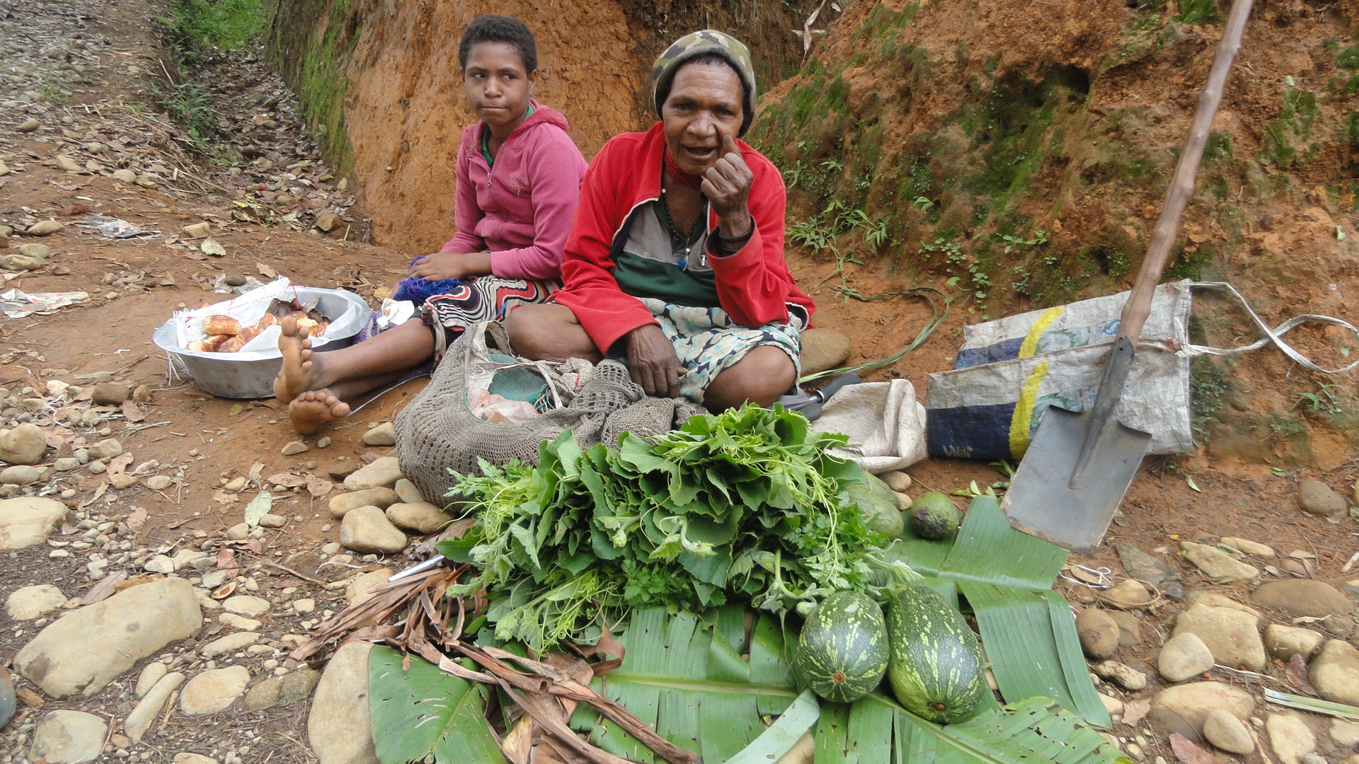
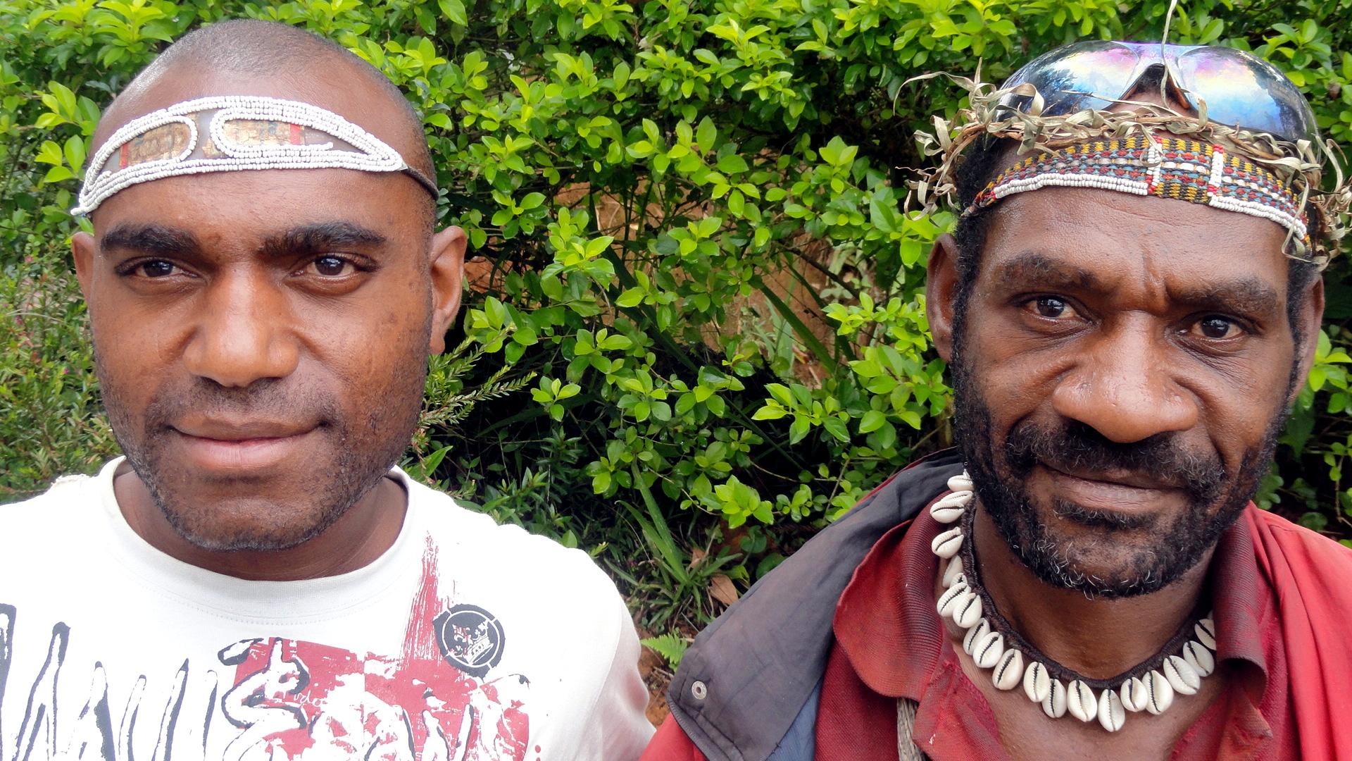
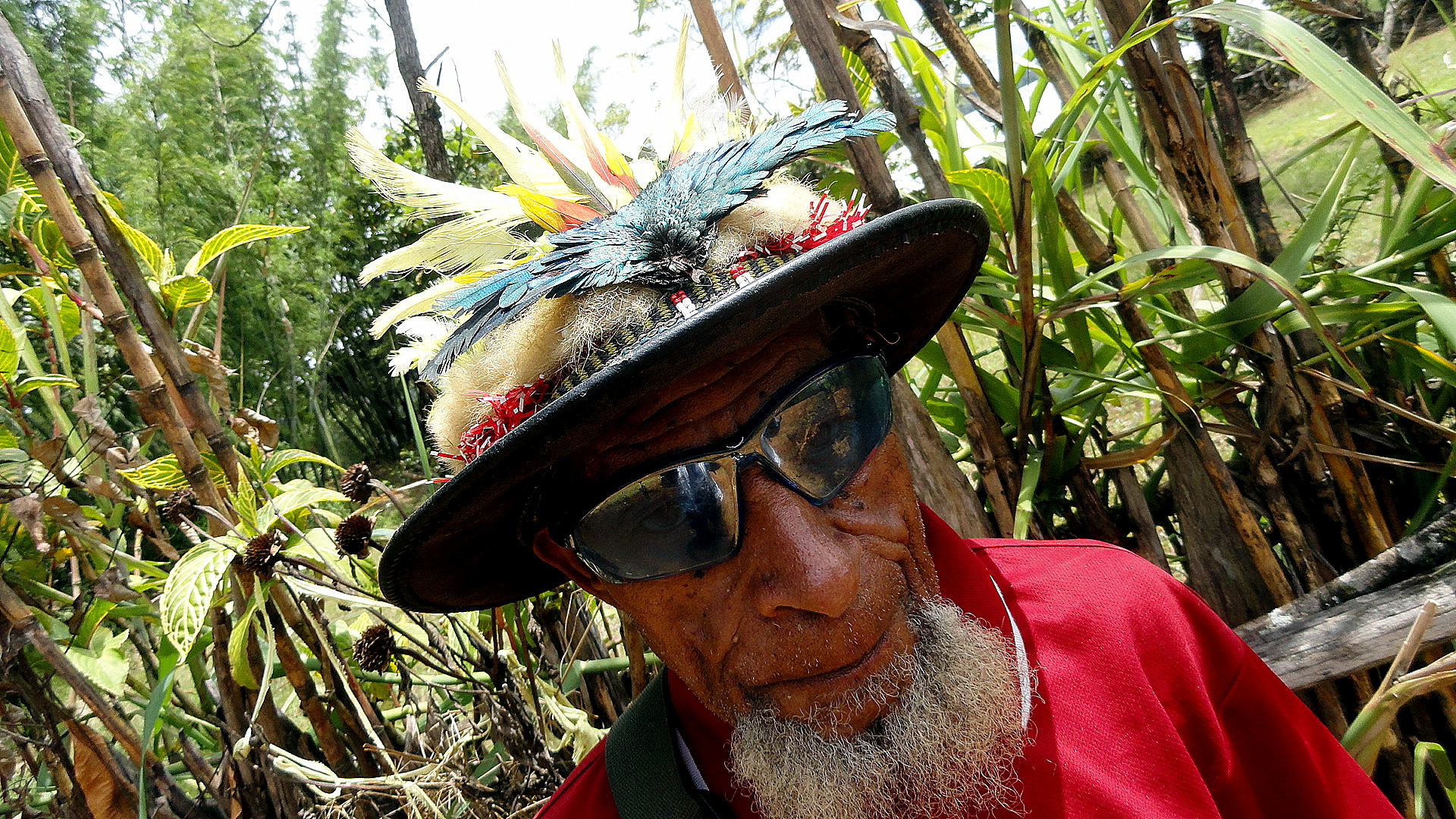
…above, some lovely local produce for sale; below, another in my occasional series of shots chronicling the decorative headgear of Huli men  – regular readers will recall some other similar shots, new readers can scan under categories at the bottom other entries from Tari and Hela.DSC03313 DSC03315 DSC03317 DSC03318 DSC03326DSC03332 DSC03335 DSC03336 DSC03339 DSC03340 DSC03341

Coastal Flows & Highland Fields … from the Air

DSC03351 DSC03287 DSC03289 DSC03290 DSC03291 DSC03292 DSC03293

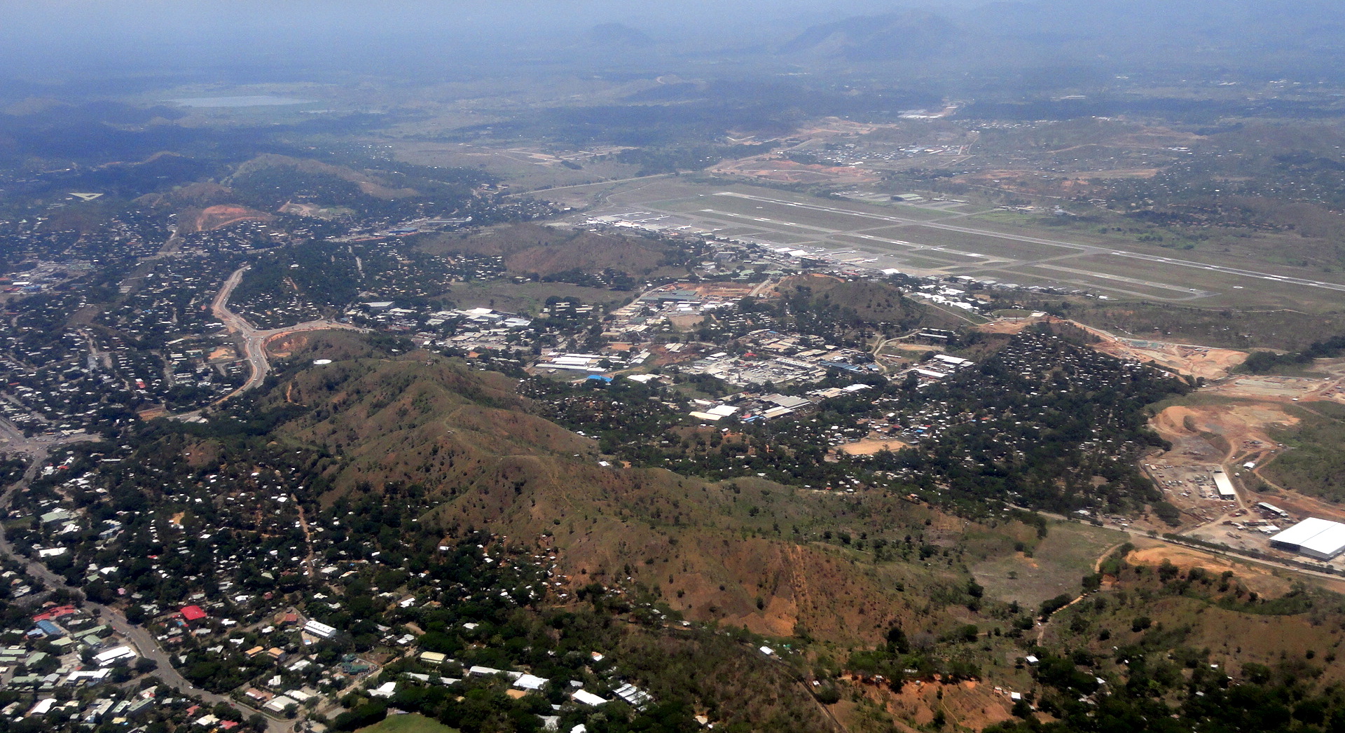
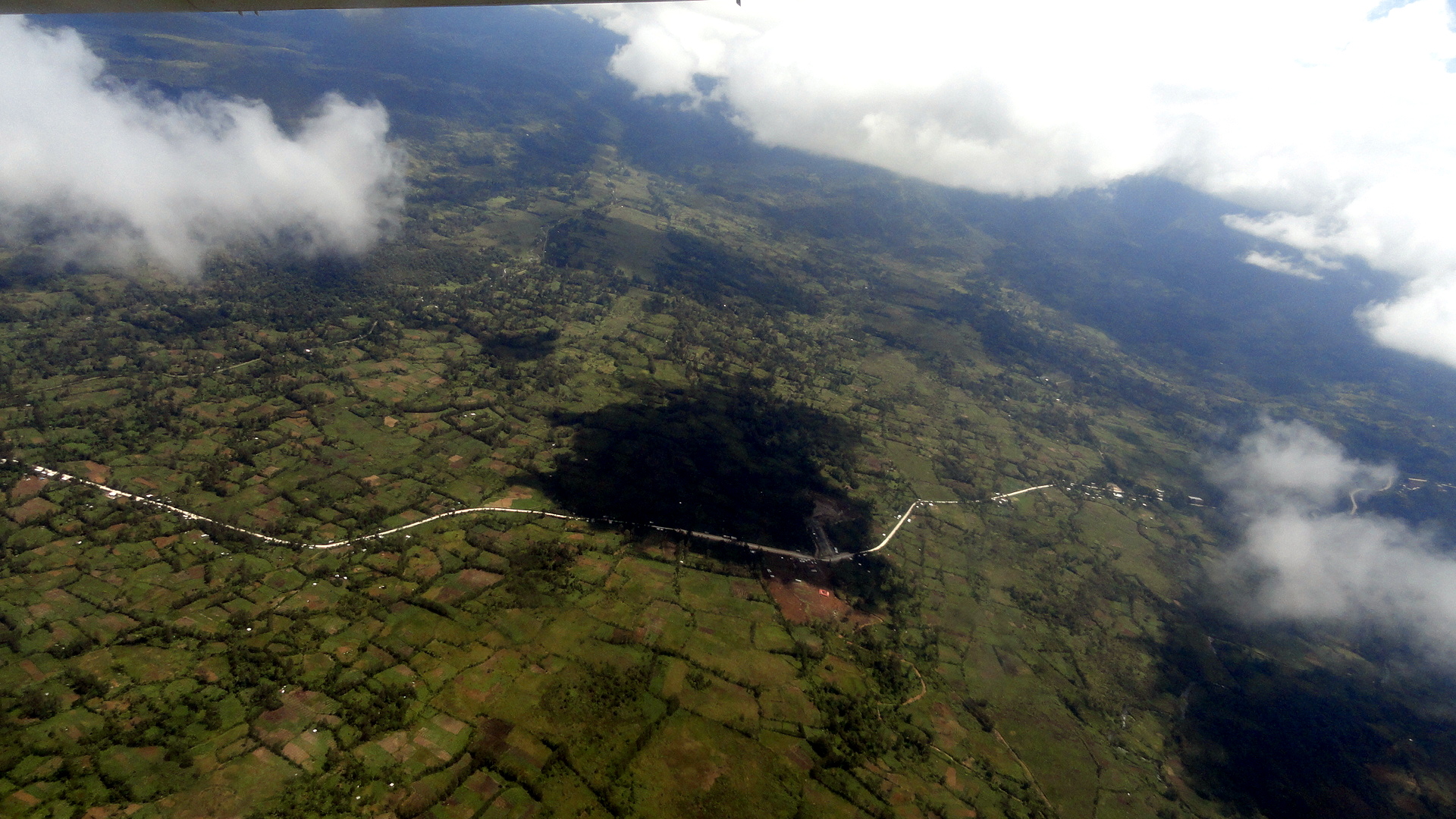
Flying from Port Moresby Jackson’s International Airport (the airstrip you see above) to Tari Airstrip in Hela Province (formerly part of Southern Highlands Province), in most seasons one takes off toward the water (into the wind; during dry season when the wind has turned to an offshore flow, one flies inland and that’s when I get to take aerial shots of the House of Parliament). This puts one over Bootless Bay, from whose surface I took the shots in this post:  https://somuchworldsolittletime.wordpress.com/2013/09/26/cycles-seasons/ …just in case you’re curious enough about the geography and topography of the region to want to picture it all and how it fits together a bit better.

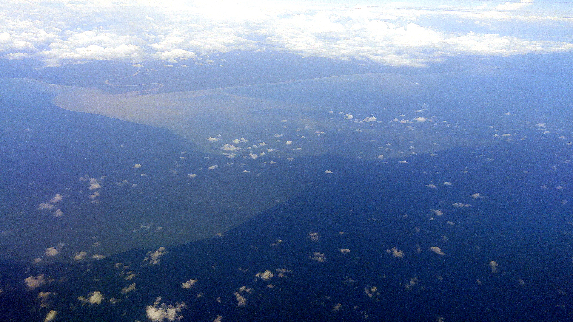
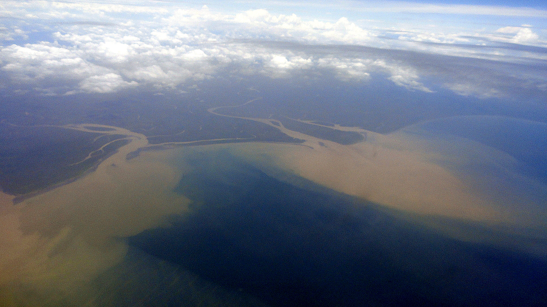
Thence, one turns right – sometimes offering excellent views of downtown POM if you’re seated on the right-hand side of the plane, though of late they’ve tended to cut directly over it which provides poor angles for good aerial shots (how rude, huh?…) – and heads along the coast of Central and Gulf Provinces until one cuts sharply inland to fly up into the Highlands and Tari Airstrip. Though Western Province — with the mighty Fly River — or East Sepik Province (with the mighty Sepik, previously showcased for you here: https://somuchworldsolittletime.wordpress.com/2012/08/06/along-the-sepik-river/) contain the estuaries of PNG’s mightiest and best-loved rivers, still I find the coastal estuaries of Central & Gulf fascinating to view from above. I find myself thinking about sedimentation, rising sea levels, the fertile highlands and all that soil slowly washing out to sea, and all the little fishies which I so loved viewing (you know the link…Neutrally Buoyant is what I called it…) being buried in waterborne mud.

DSC03300

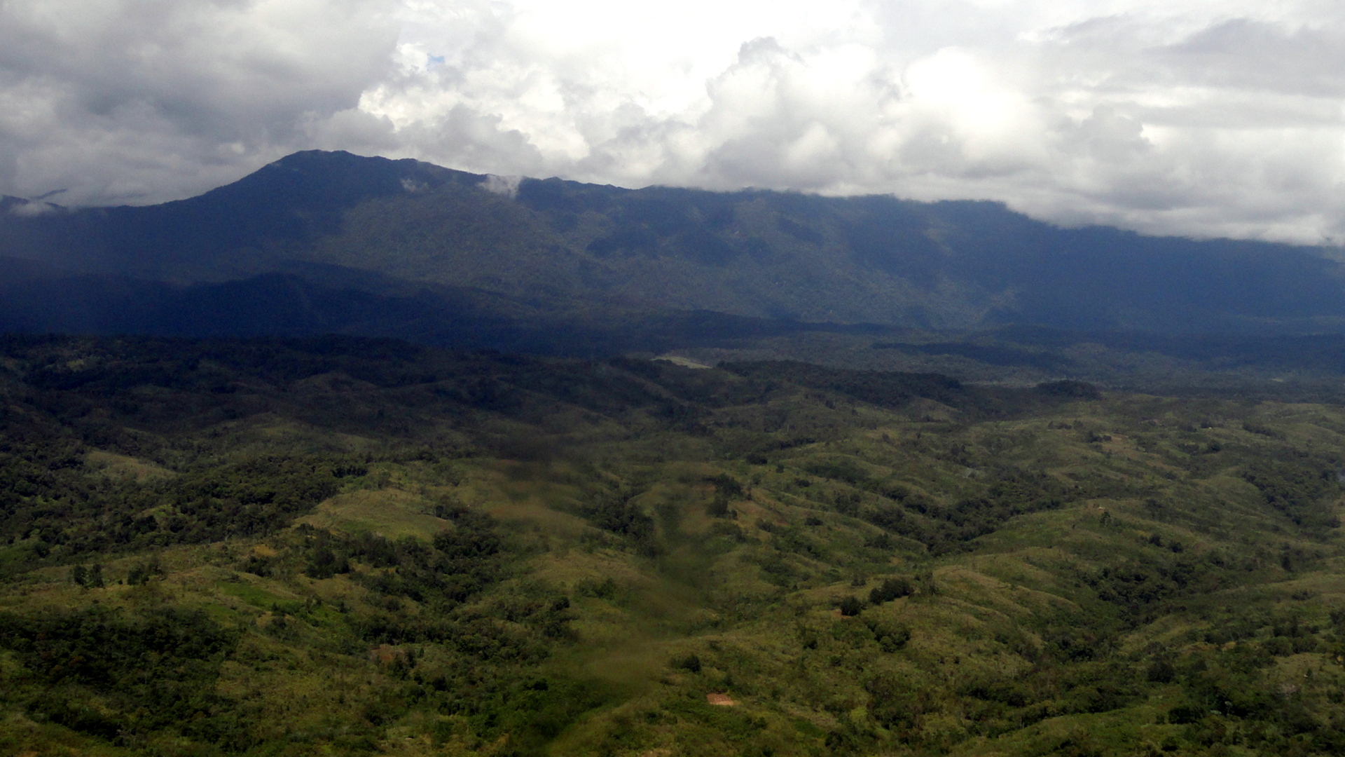
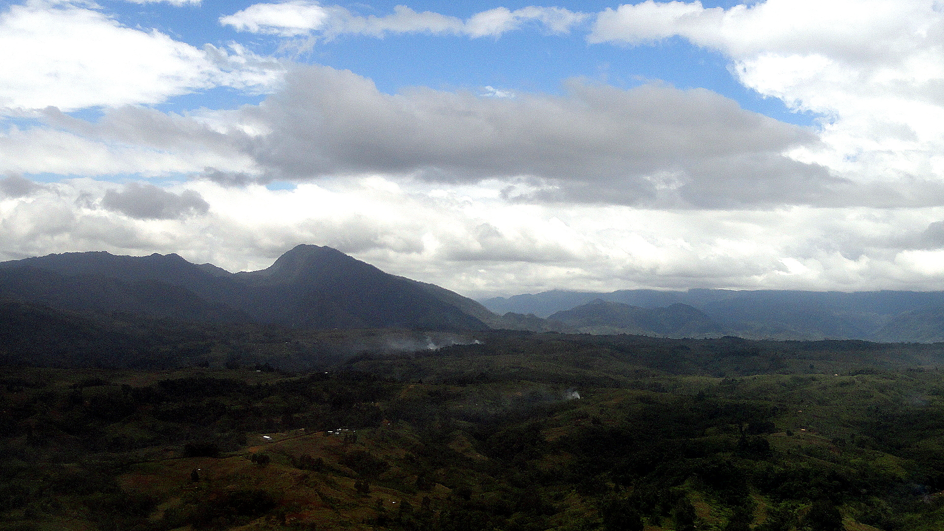
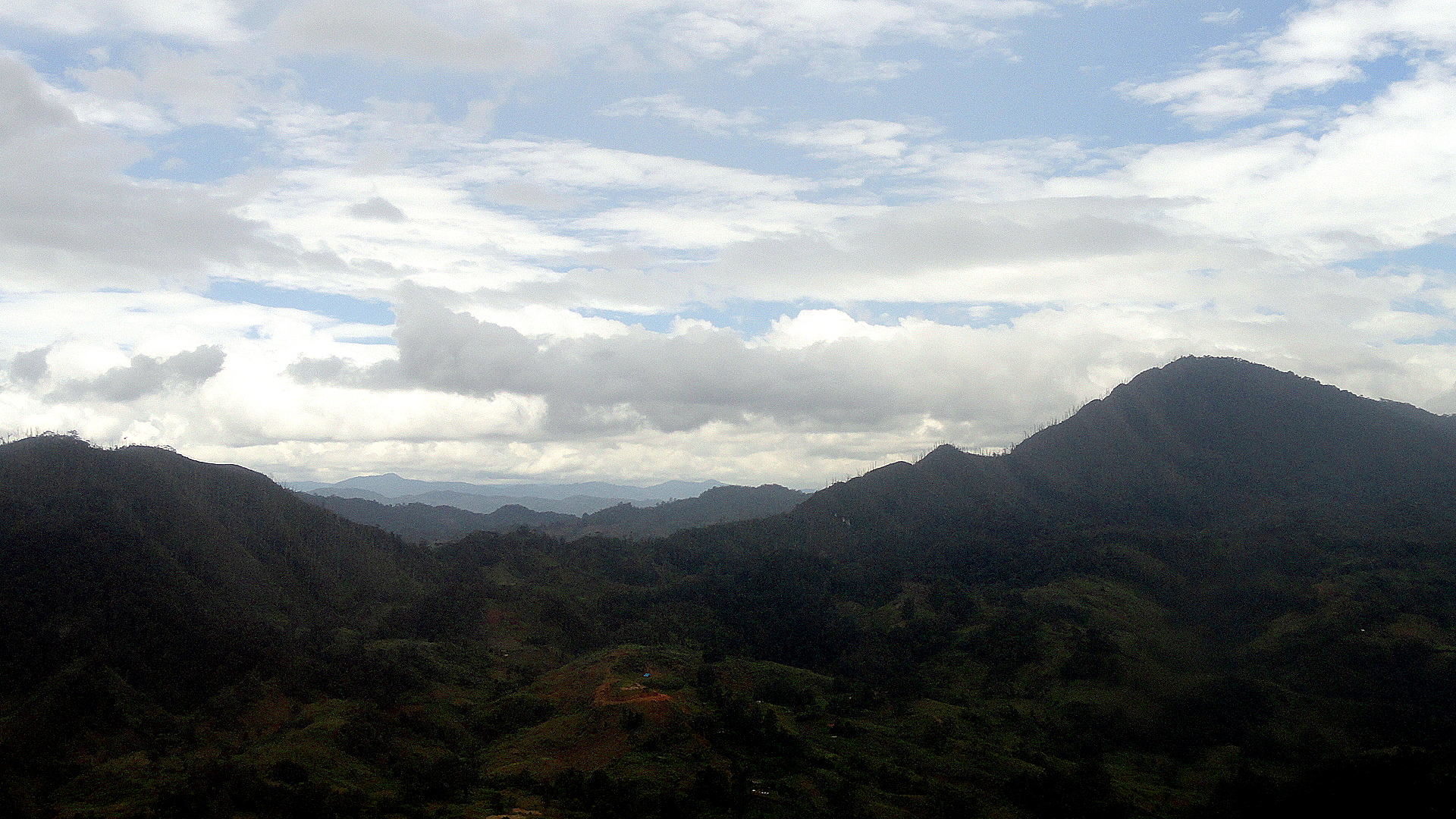
So anyway, in this post I take you on that journey as I myself went a few weeks ago – pretty much in order, from POM to the highlands. In the shots below, look for the little bumpy nubs in the landscape. Though Hela is the only Highlands region I’ve visited, I gather it is not unlike other highlands regions in that it’s both rural-agricultural by nature, and quite densely populated. As you’ll see, there are few roads but it’s in by no means wilderness. It’s highly worked landscape which has been shaped and tended by humans for 50,000 years or more. (Cultivation of taro many thousand years ago made PNG one of those places in the world where humans independently shifted from fully hunter-gatherer to at least partially agrarian.) Sweet potato, which came here via sea routes from South America several hundred years ago, is the primary crop — and I’ve tried to catch a few shots where you can readily see the nubs and bumps of a sweet-potato crop being cultivated. They are the dietary staple for most residents of the Highlands, so far as I can tell, and if you look closely in some of the shots below you will realize how omnipresent they are. Keep in mind these are nearly all Huli familial compounds, tucked away behind the lovely, well-maintained earthen ditches and walls which characterize the Huli landscape…and which, I’m told, are not so common in other Highlands regions. (If you’re not sure what I’m talking about, look at many of my past Tari posts, such as: https://somuchworldsolittletime.com/wp-content/uploads/2012/08/huli-walled-compounds-on-highlands-hwy.jpg

I figure that’s enough text, and enough of a mix of topography, ethnography and photography for one weekend. We’ve just finished a major conference here, and I’m entering the last phase of my assignment here – which brings on feelings of anticipatory nostalgia since my experiences and interactions with colleagues and communities have been so very rich here. If anyone’s curious, I’ll provide two links to coverage of the conference, the first audio (yours truly) and the other textual (the Guardian):

http://www.radioaustralia.net.au/international/radio/program/pacific-beat/png-plans-a-comprehensive-response-to-family-and-sexual-violence/1224568

http://www.theguardian.com/society/2013/nov/26/papua-new-guinea-takes-steps-against-abuse

Enjoy the photos and any of the other links you choose to view. Peace, out. 🙂

DSC03303 DSC03304 DSC03305 DSC03347

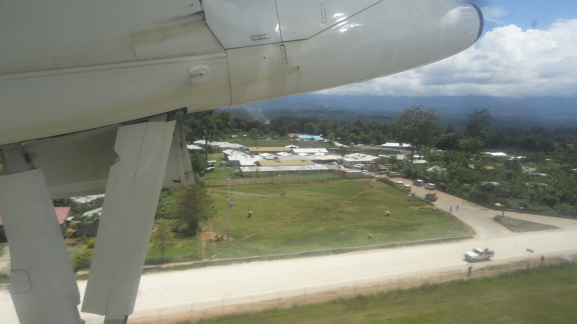
…btw, that’s sort of the entrance to the hospital as seen from a plane taking off (most of the hospital is to left of the frame).DSC03348 DSC03349 DSC03350

Longing For Lisbon

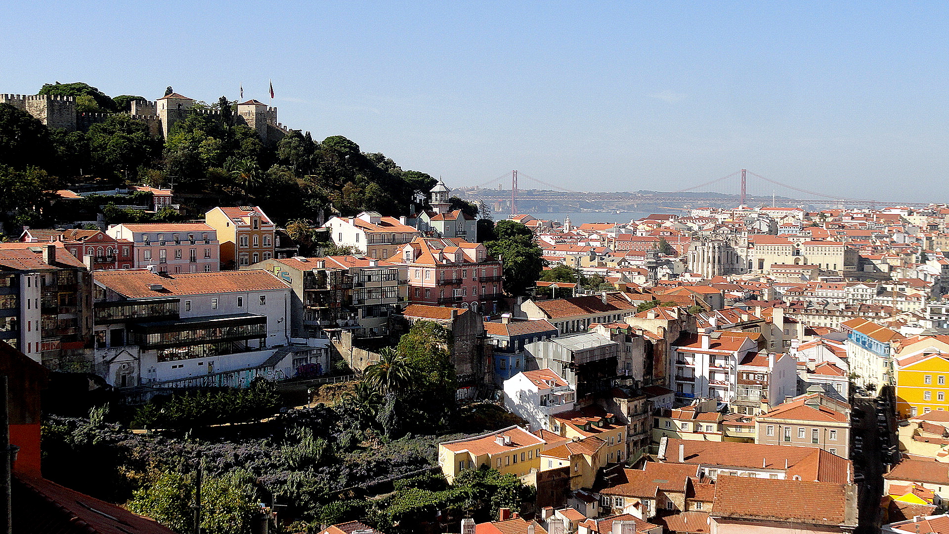
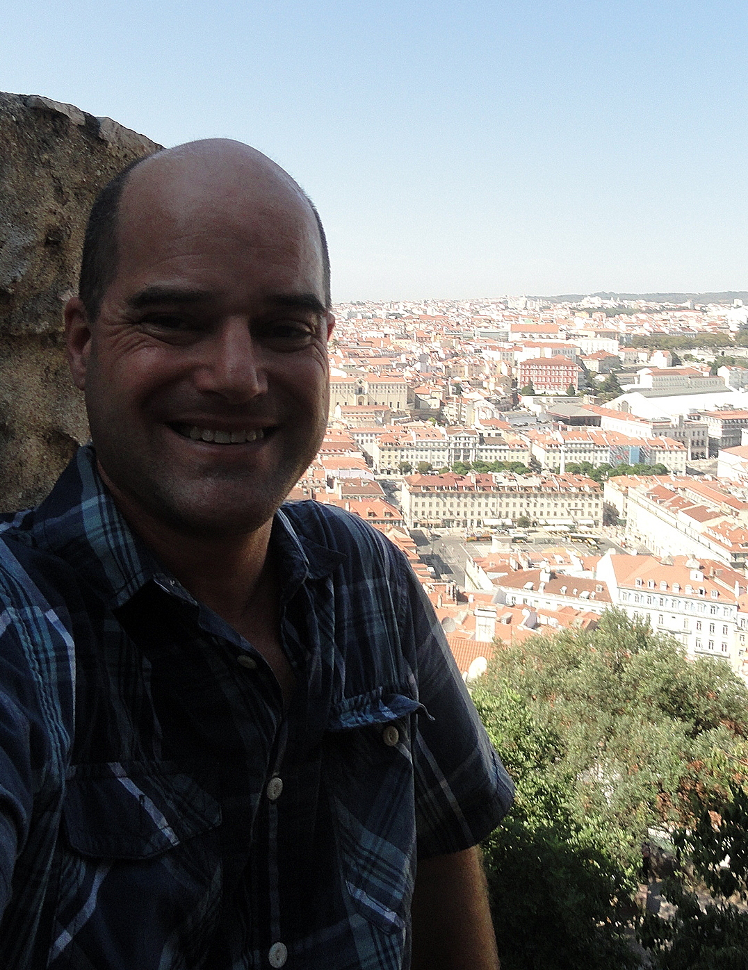
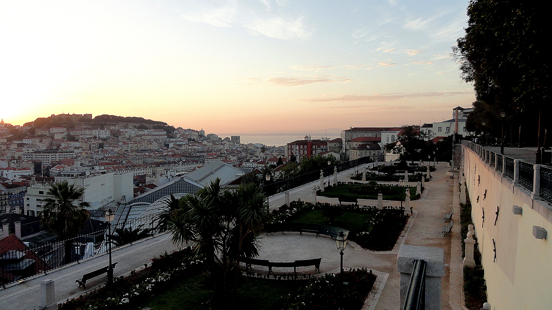
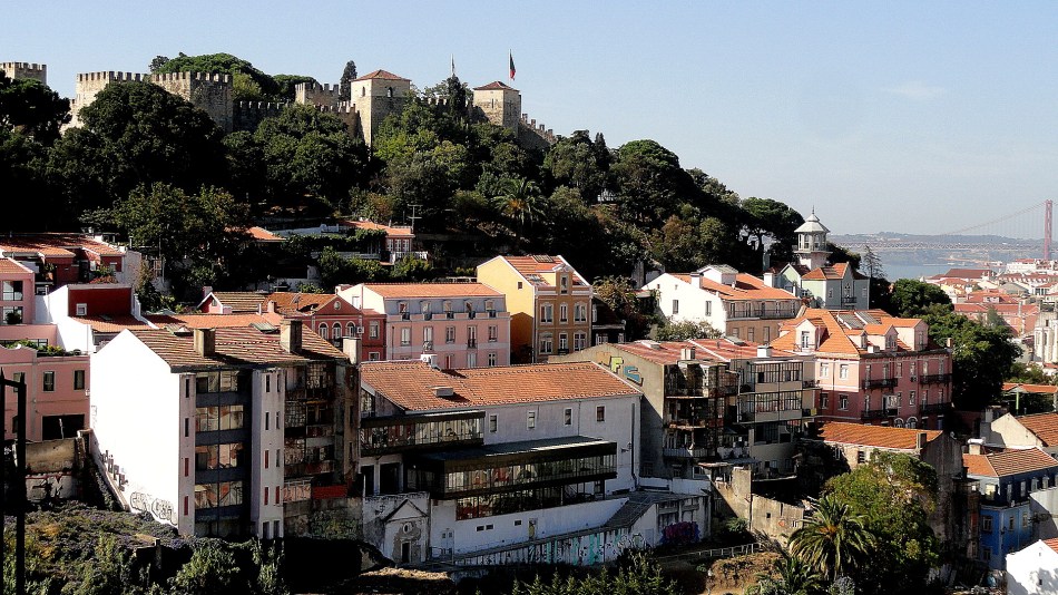
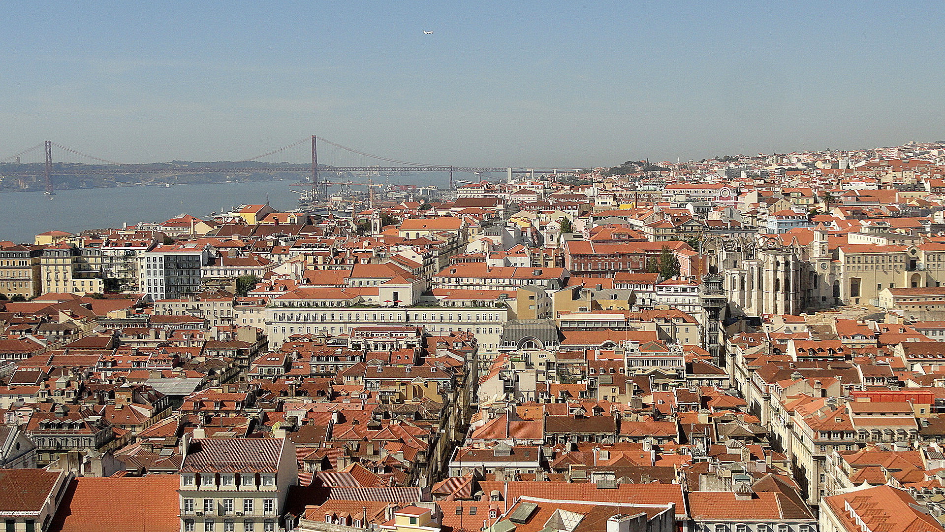
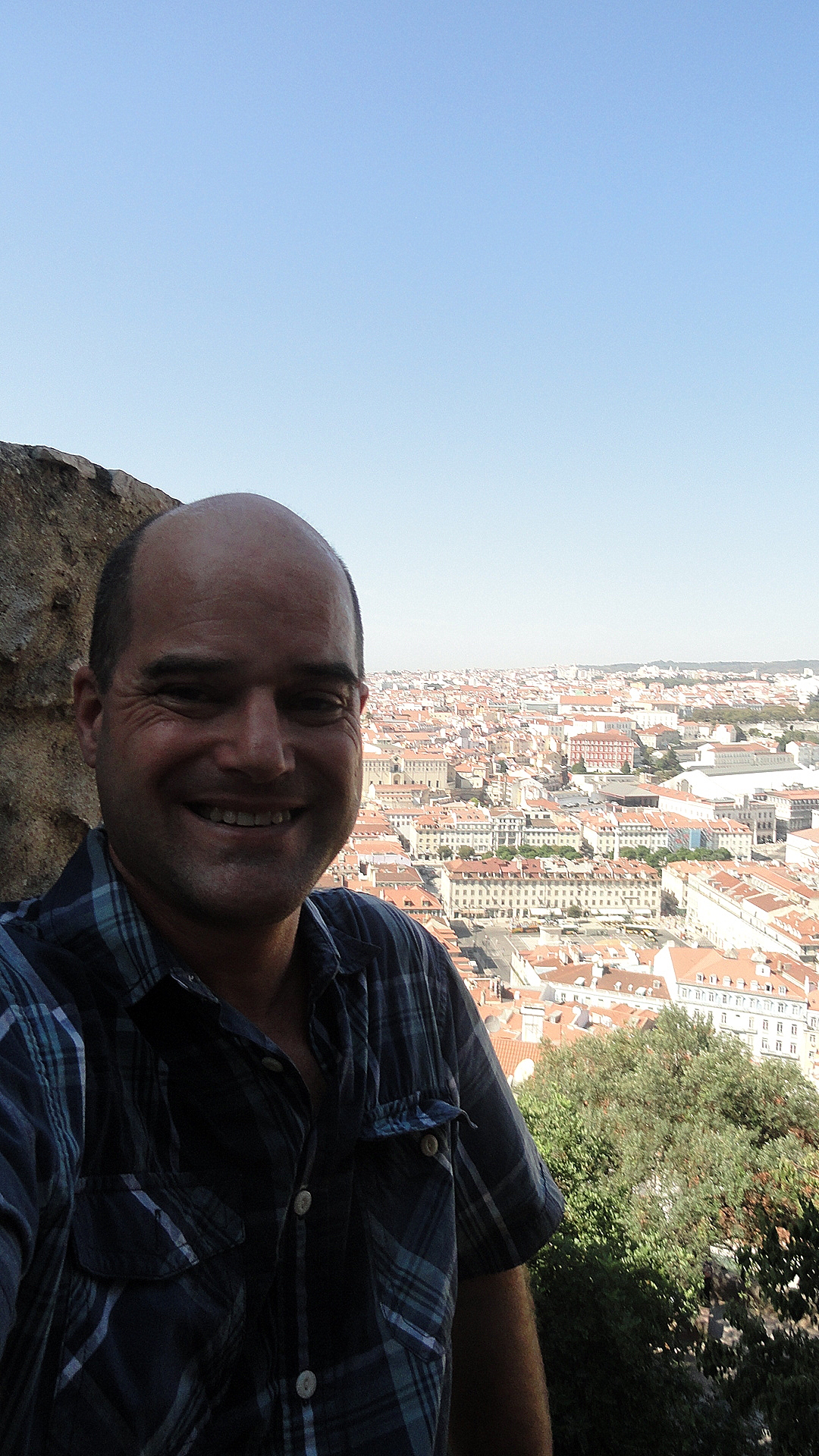
Castelo Sunrise w River & GardenCastelo & City from GracaIt’s hard to believe my lovely little weekend in Lisbon was already two months ago, but it was. And herewith some of my favorite shots from some of my favorite parts of that lovely town. I know I’ve already shown you a lot, but as you can tell I loved this city. I’ve just returned from the highlands, where I got some nice shots which I’ll post at some point. But I’m going into an intensely busy two weeks, so wish me luck and enjoy these for now. Thanks.Self Portrait at Castelo

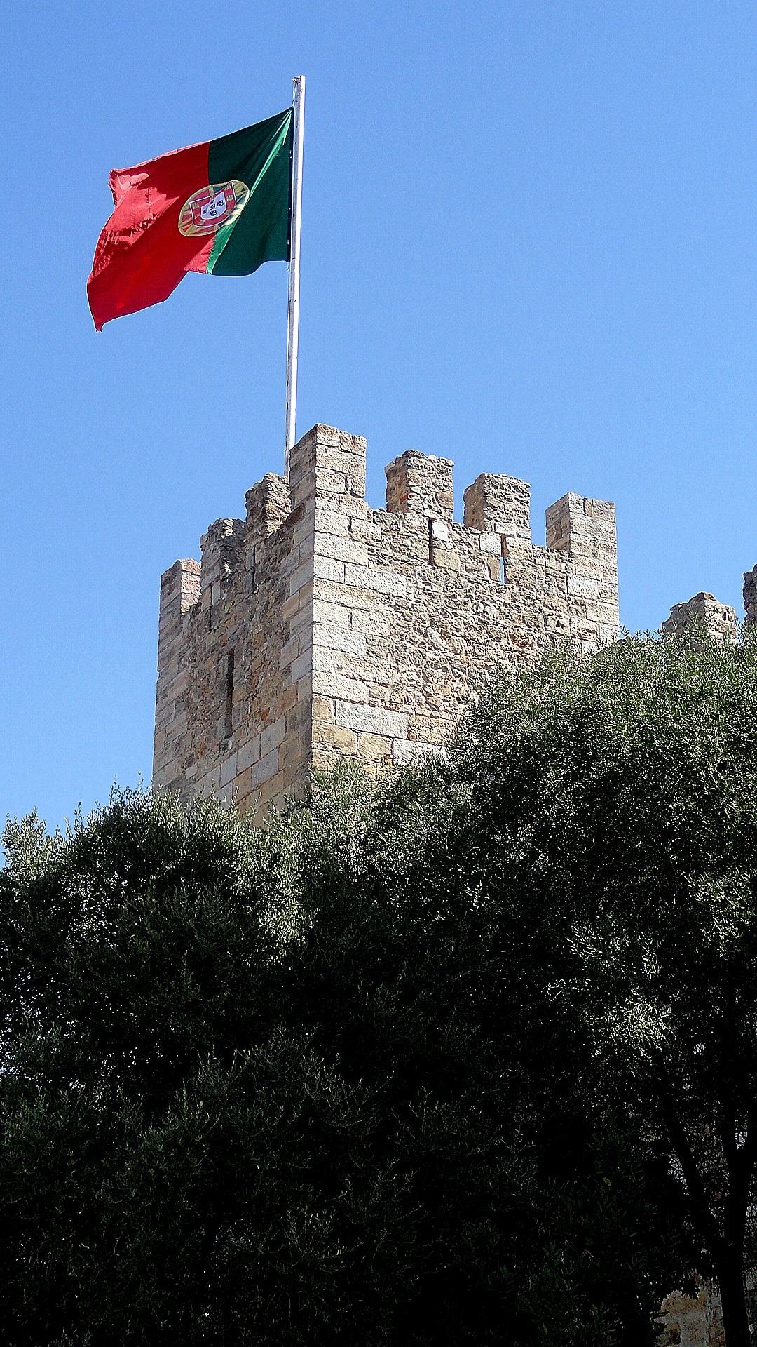
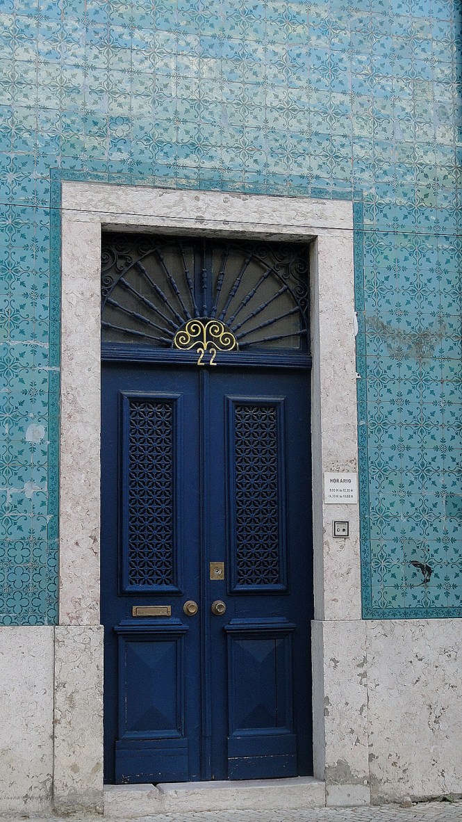
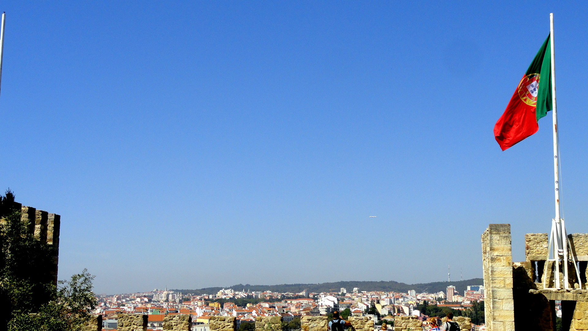
Tower & Flag Castelo & Gardens SunriseBlue Door - Green Tile Crenelations Flag & Rooftop from Castelo
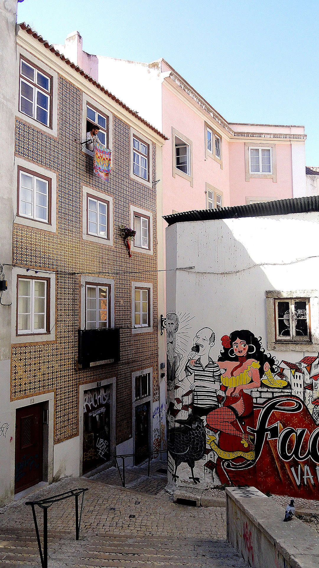
Castelo Center Street Art - LisbonCastelo from Graca

Red Roofs & Bridge